
Interstate 280 West

 West
West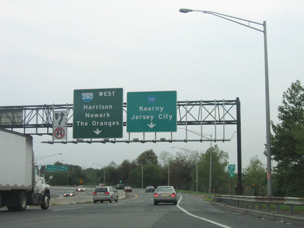
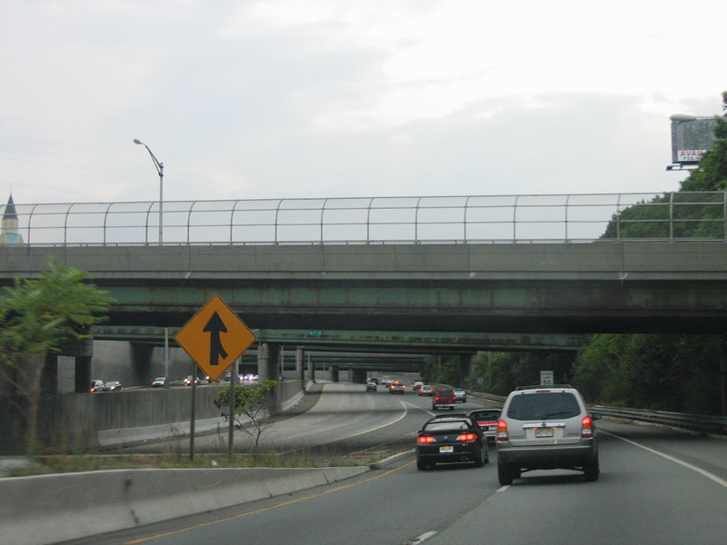
Interstate 280 begins at the Exit 15W trumpet interchange from Interstate 95W. After paying tolls, drivers turn southward and quickly enter a three quarter cloverleaf interchange (Exit 17) with Hudson County 508 (Newark-Jersey City Turnpike).
08/29/05

CR 508 west enters industrial areas of east Kearny en route to Harrison Avenue through Harrison from Exit 17B.
08/29/05
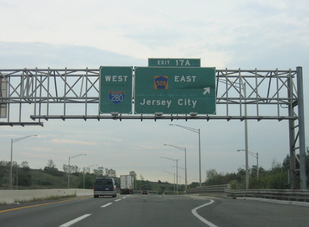
A loop ramp carries drivers onto Hudson County 508 east toward Kearny Point and its end at Route 7. Route 7 continues the drive eastward to Jersey City.
08/29/05
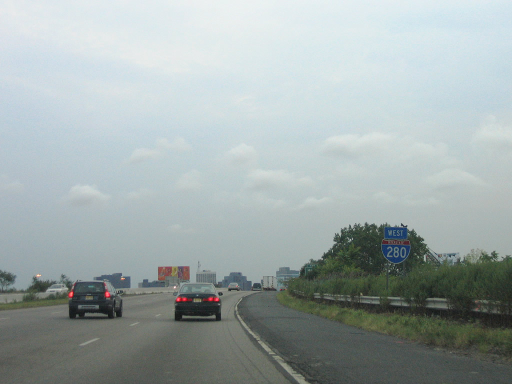
The first westbound reassurance shield posted for Interstate 280 follows the directional ramps from CR 508 west.
08/29/05
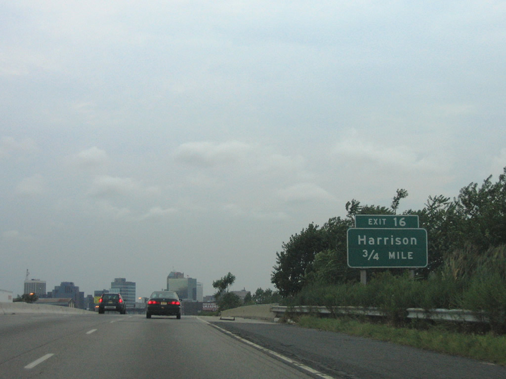
Exit 16 departs Interstate 280 next onto Essex Street in Harrison.
08/29/05
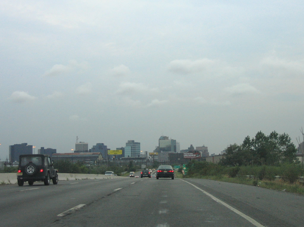
The city of Newark skyline appears along the horizon of Interstate 280 west.
08/29/05
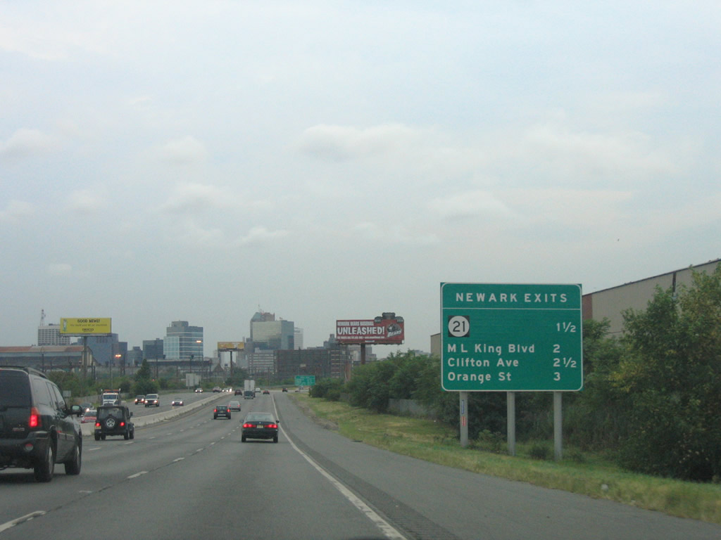
Four interchanges serve the city of Newark over the course of the next three miles. New Jersey 21 (Exit 15) represents the first exit in 1.5 miles.
08/29/05
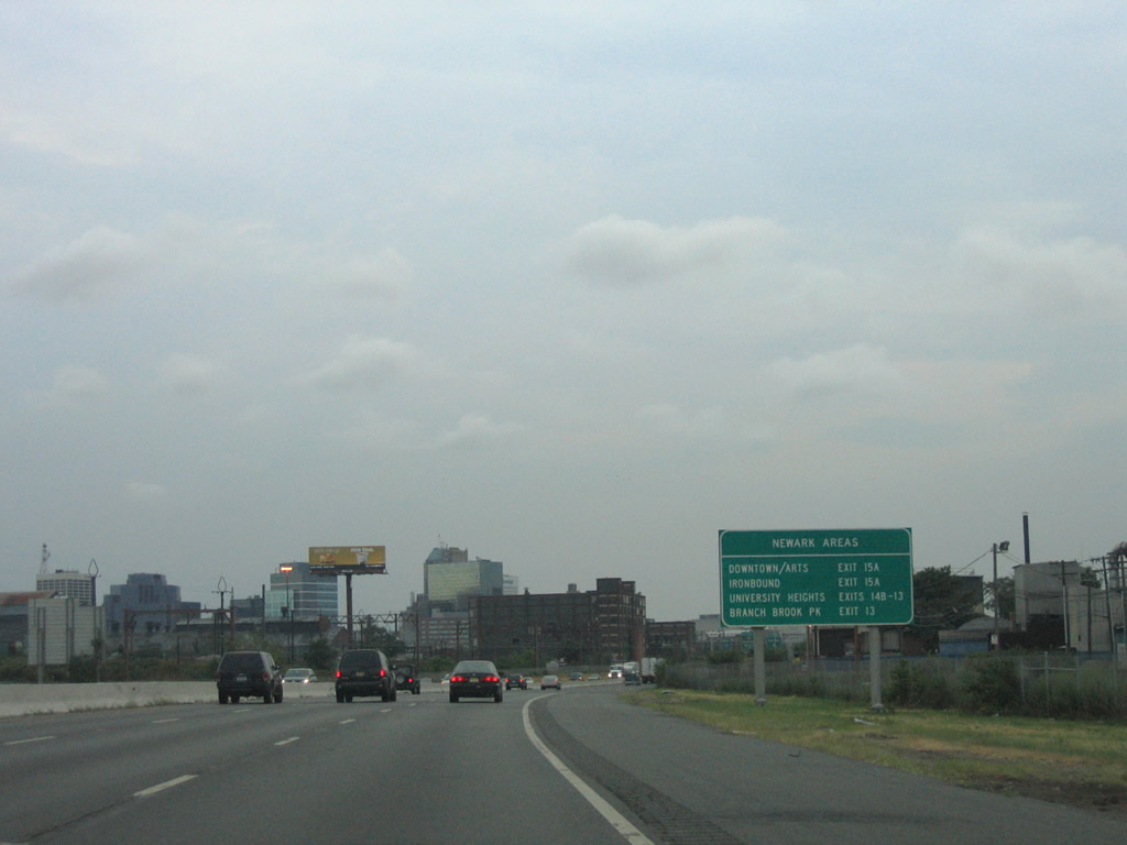
This guide sign lists the sections of Newark served by Interstate 280's exits.
08/29/05
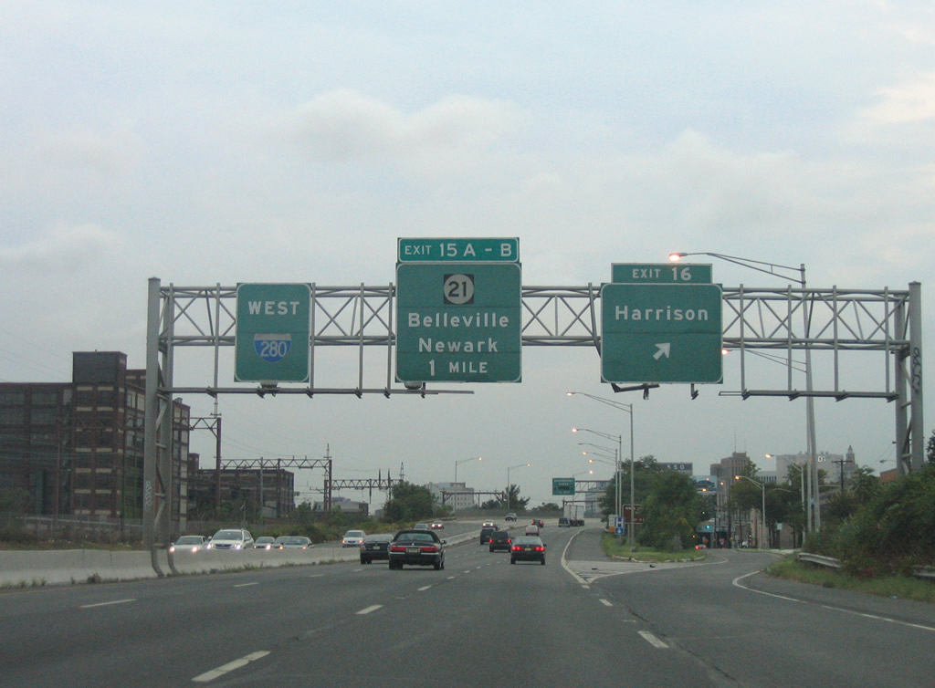
Essex Street follows Interstate 280 west from Exit 16 to 5th Street and Frank E. Rodgers Boulevard in Harrison. Rodgers Boulevard joins the freeway with central Harrison at CR 508 (Harrison Avenue).
08/29/05
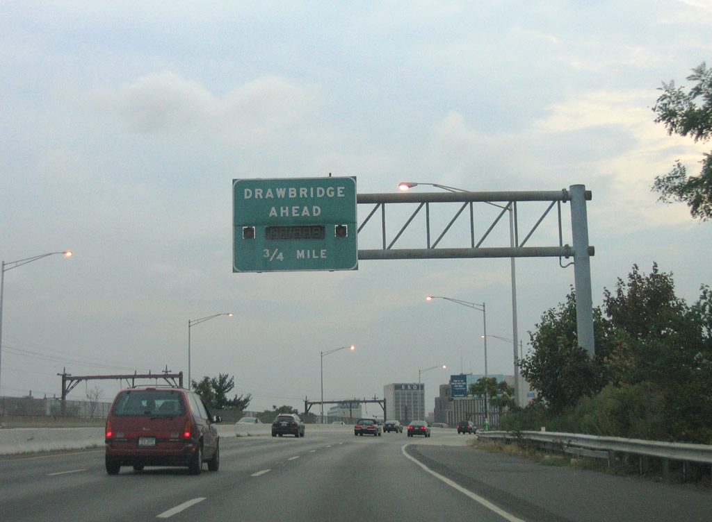
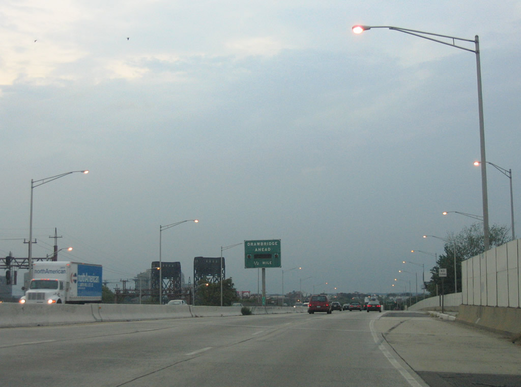
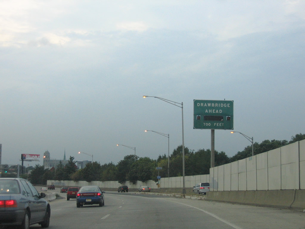
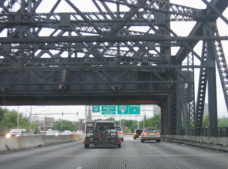
A series of draw bridge signs advise motorists of any stoppages on the forthcoming Passaic River crossing.
08/29/05
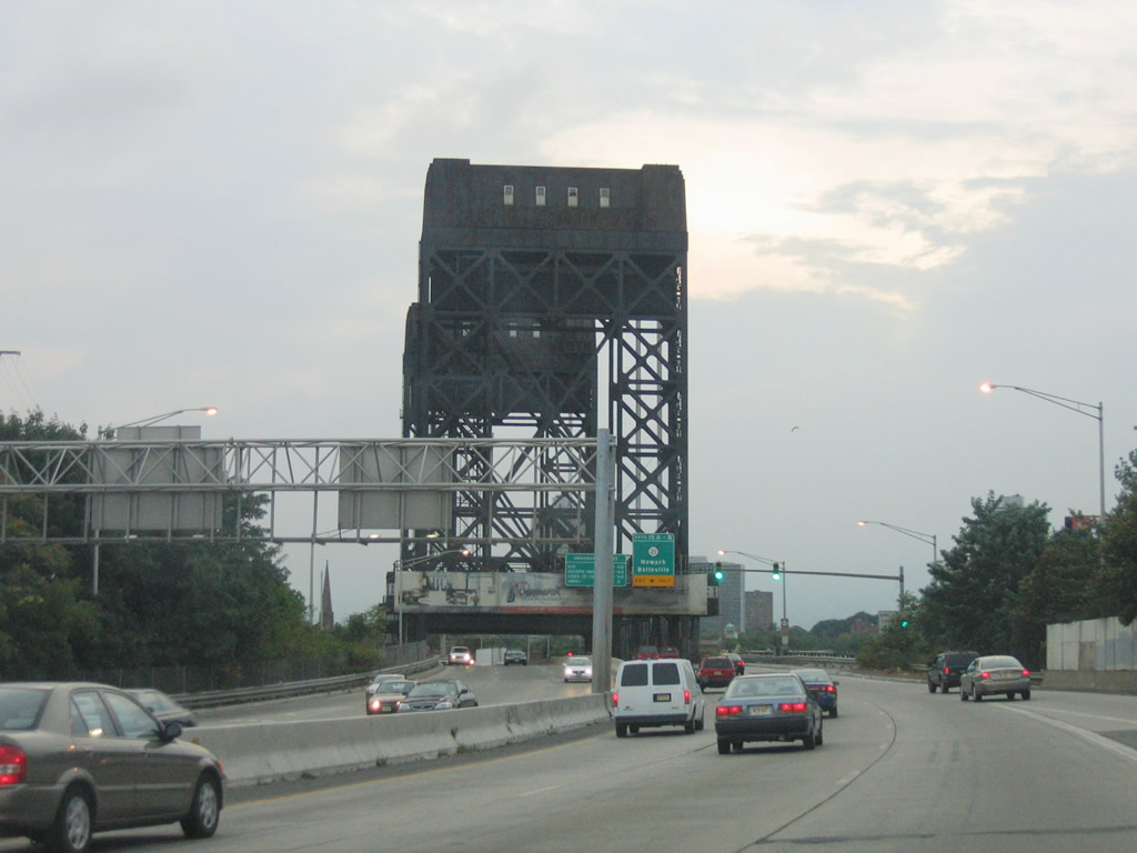
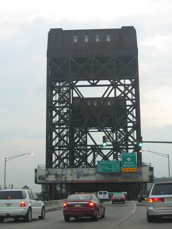
Interstate 280 crosses the Passaic River between Newark and Harrison via a six lane lift bridge. The draw span is one of a handful on the Interstate system including I-110 at Biloxi, MS and I-64 at Hampton Roads, VA among others.
Designated the William A. Stickel Memorial Bridge, the Passaic River span was built between 1948-49. Opened on May 1, 1949, the bridge became part of the interstate system in 1971. Rarely opened for vessels below, the 209.6 meter long bridge is considered obsolete.1
08/29/05
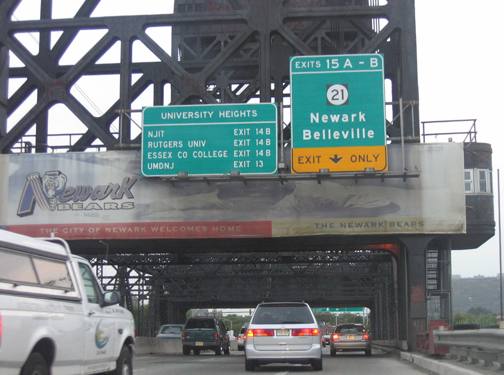
Ramps to New Jersey 21 (Exits 15A/B) depart Interstate 280 immediately after the draw bridge. New Jersey 21 straddles the Passiac River along the McCarter Highway surface boulevard through the Downtown Newark area. Interests to University Heights and its colleges should use Exits 14B or 13.
08/29/05
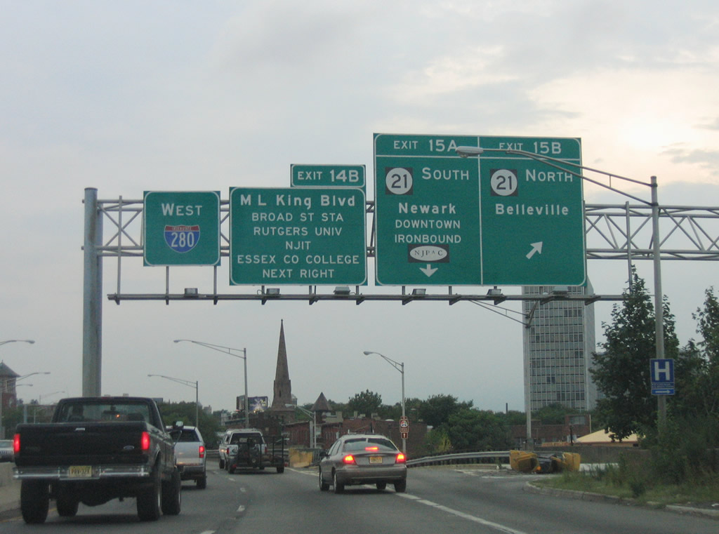
Exits 15B/A depart Interstate 280 west simultaneously for New Jersey 21. New Jersey 21 upgrades to a double-deck freeway at 3rd Avenue en route to Rutherford and Passiac. The southbound state route travels through Downtown and the Ironbound section of the city, serving traffic to the New Jersey Performing Arts Center.
08/29/05
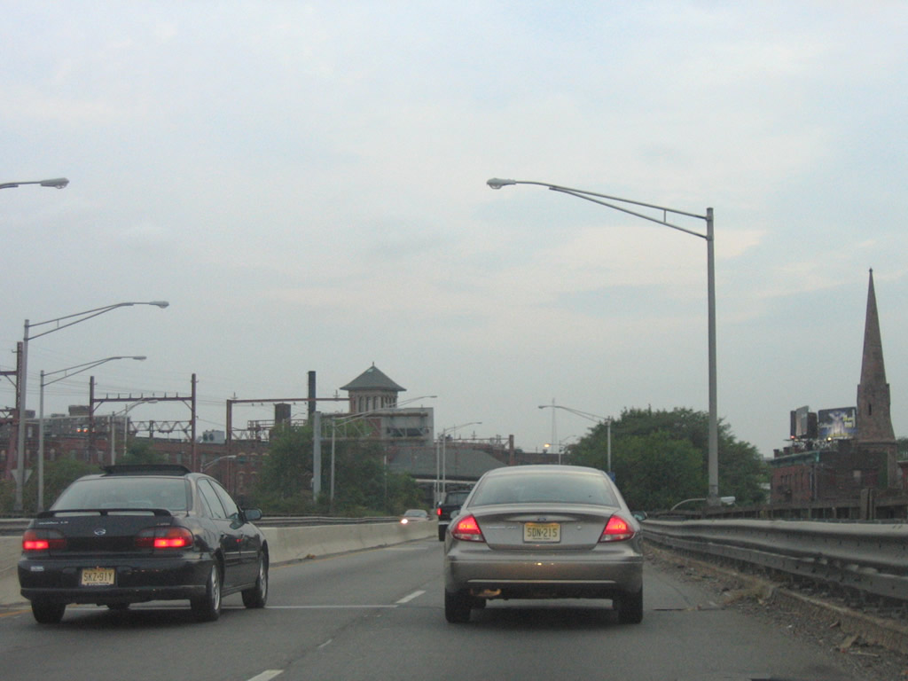
The substandard nature of Interstate 280 is quite evident in this westbound scene on the viaduct over New Jersey 21.
08/29/05
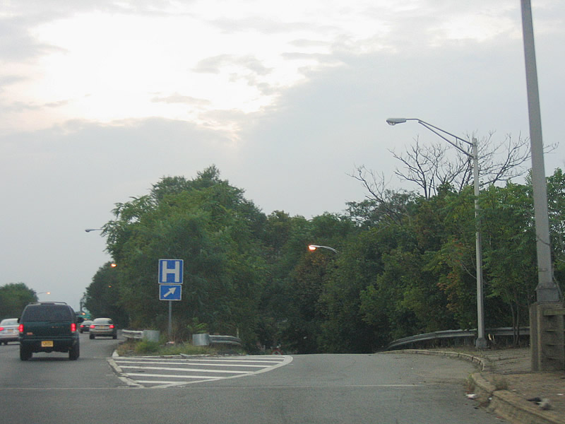
Exit 14B quickly departs for Martin Luther King, Jr. Boulevard and Broad Street via State Street and University Heights. The University Heights area is home to Essex County College, Rutgers-Newark - The State University of New Jersey and New Jersey Institute of Technology (NJIT).
08/29/05
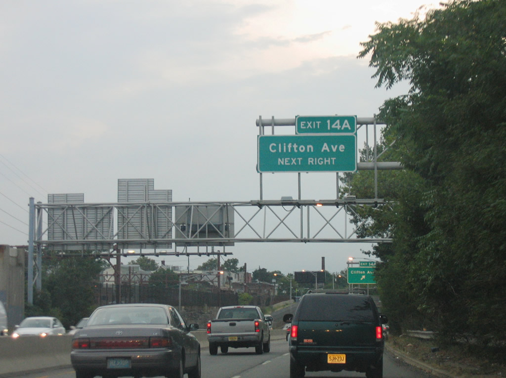
Clifton Avenue travels north from Norfolk and Orange streets to 8th Avenue at the end of the Exit 14A off-ramp from Interstate 280. Clifton Avenue continues north to Branch Brook Park.
08/29/05
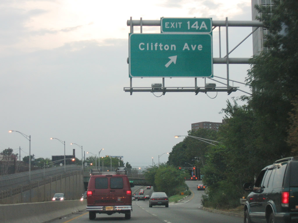
Westbound Interstate 280 at Exit 14A to Clifton Avenue. Clifton Avenue heads north all the way to Verona Avenue near the Newark city line. Interstate 280 meanwhile sinks below grade.
08/29/05
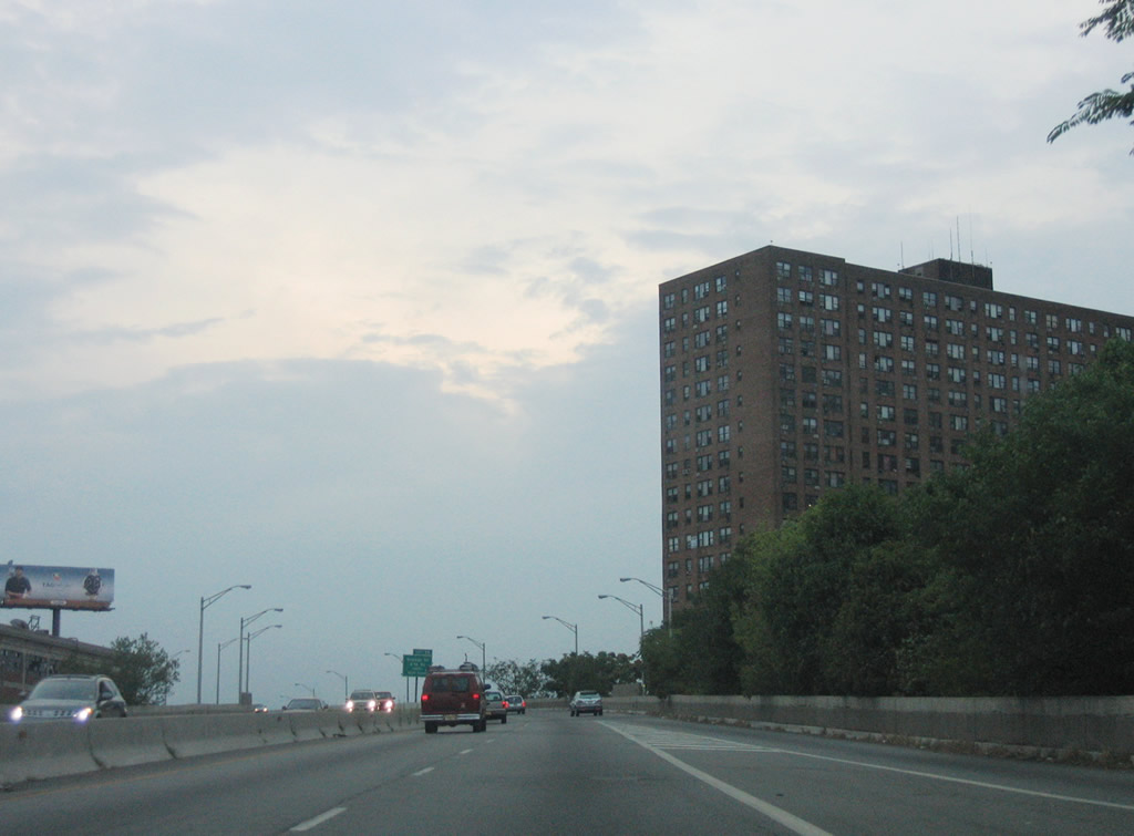
Interstate 280 skims the south end of Branch Brook Park on another a viaduct.
08/29/05
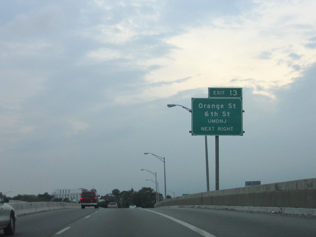
Exit 13 departs next for Orange and 6th Streets and the University of Medicine and Dentistry of New Jersey (UMDNJ).
08/29/05
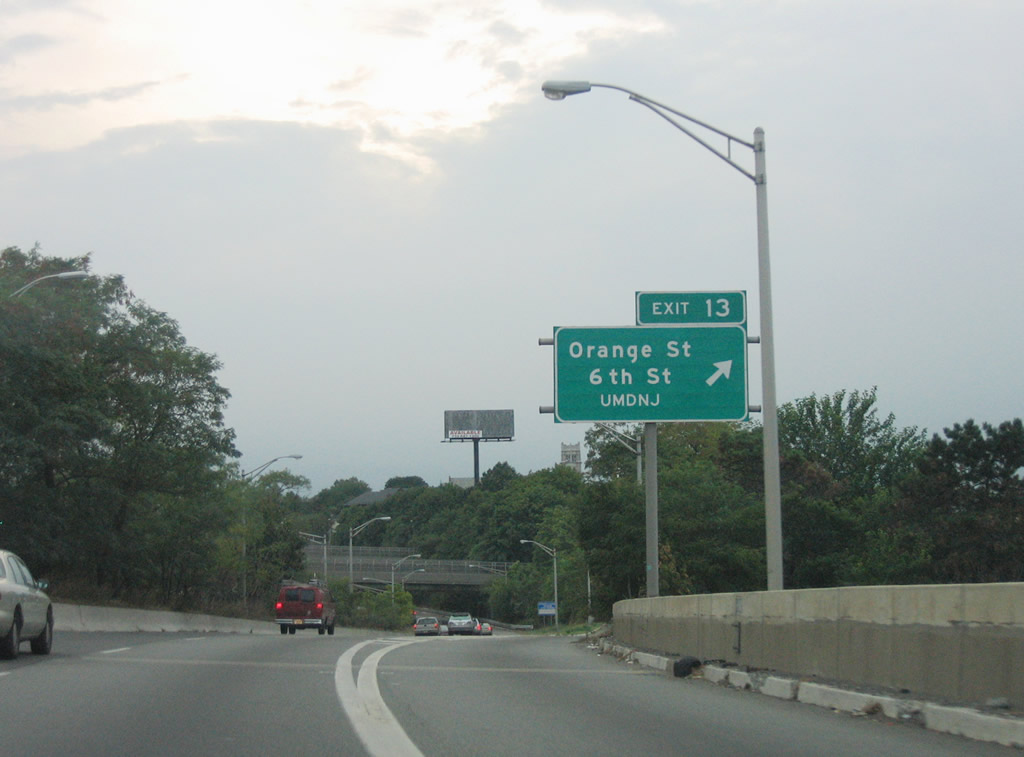
6th Street leads south from parallel Orange Street to Market Street near Central Avenue (Essex County 508). Orange Street follows Interstate 280 west to 14th and Main Streets.
08/29/05
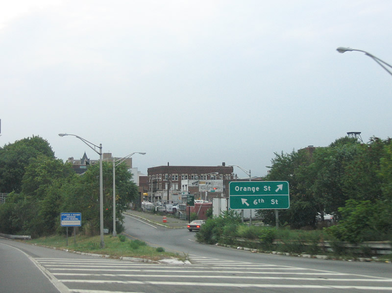
Exit 13 partitions into a ramp for 6th Street south and a right-turn onto 5th Street north to Orange Street. 5th Street travels through a residential area to Park Avenue.
08/29/05
A three-lane on-ramp merges onto the left side of Interstate 280 west from 1st Street. This ramp is a leftover from the planned north end of unconstructed Route 75. Route 75 was to join Interstate 280 with New Jersey 21 between Newark and Belleville. Known as the Newark Midtown Freeway, the route was aimed at providing congestion relief for the Garden State Parkway while doubling as a truck route. Design elements focused on a dual freeway with four local lanes and six express lanes. Cancelled in 1973 due to construction costs estimated in 1969 at $115 million, only interchanges at the ends were ever built.2
08/29/05
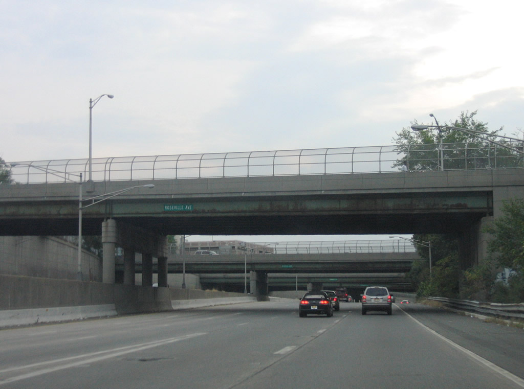
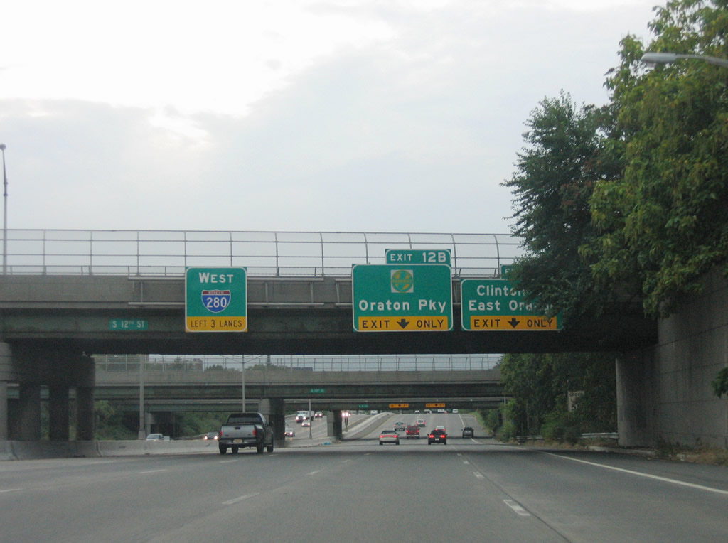
Five westbound lanes travel from 1st Street (Exit 13) to the Garden State Parkway (Exit 12B) and Clinton Street (Exit 12A).
08/29/05
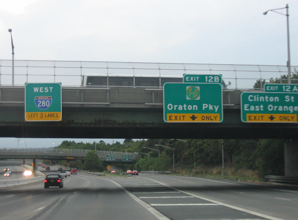
A tri-level stack connects Interstate 280 with the Garden State Parkway access road. Exit 12A skims the north edge of the interchange as a collector distributor roadway to Freeway Drive into the city of East Orange.
08/29/05
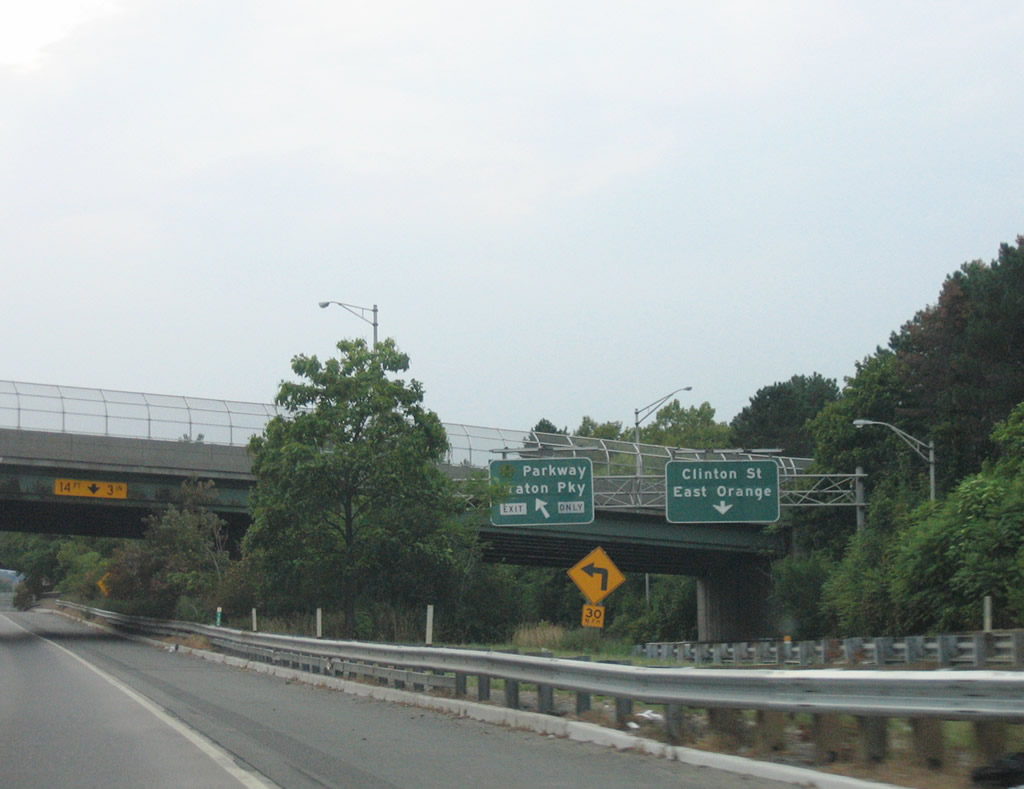
Before entering the toll plaza for the GSP, Exit 12B yields a ramp to Oraton Parkway north ahead of its intersection with Freeway Drive. Oraton Parkway constitutes a frontage road system for the Garden State Parkway.
08/29/05
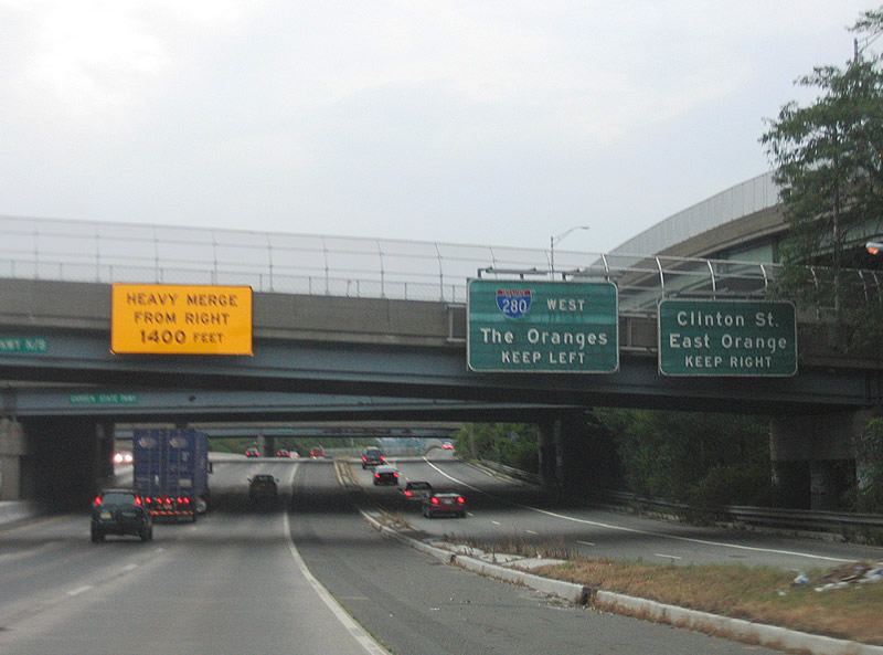
Drivers pass under the Garden State Parkway mainline and adjacent Oraton Parkway ahead of the c/d roadway split with the ramp to Freeway Drive. Freeway Drive intersects Walnut, Burnett, and Clinton Streets nearby.
08/29/05
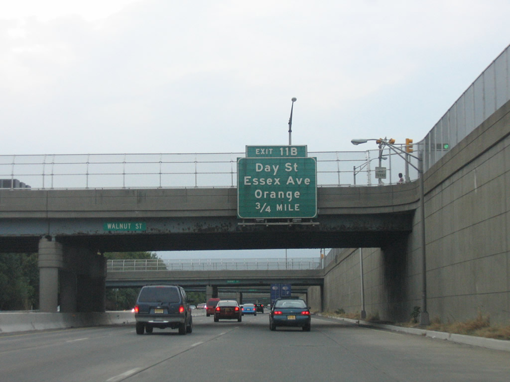
Exit 11B joins Interstate 280 with Freeway Drive west at Center Street. The frontage street provides access to Day Street and Essex Avenue in City of Orange township.
08/29/05
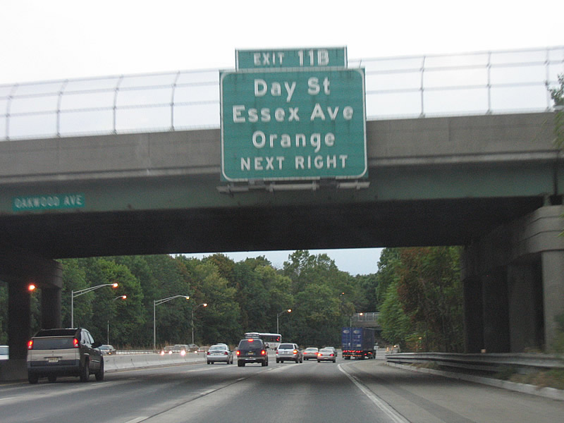
Day Street travels north-south between Henry and Washington Streets. Essex Avenue extends further south to Essex County 508 (Central Avenue).
08/29/05

Westbound at the Exit 11B ramp departure in Orange. Essex Avenue meets Main Street nearby as Freeway Drive ends as the return ramp to Interstate 280.
08/29/05
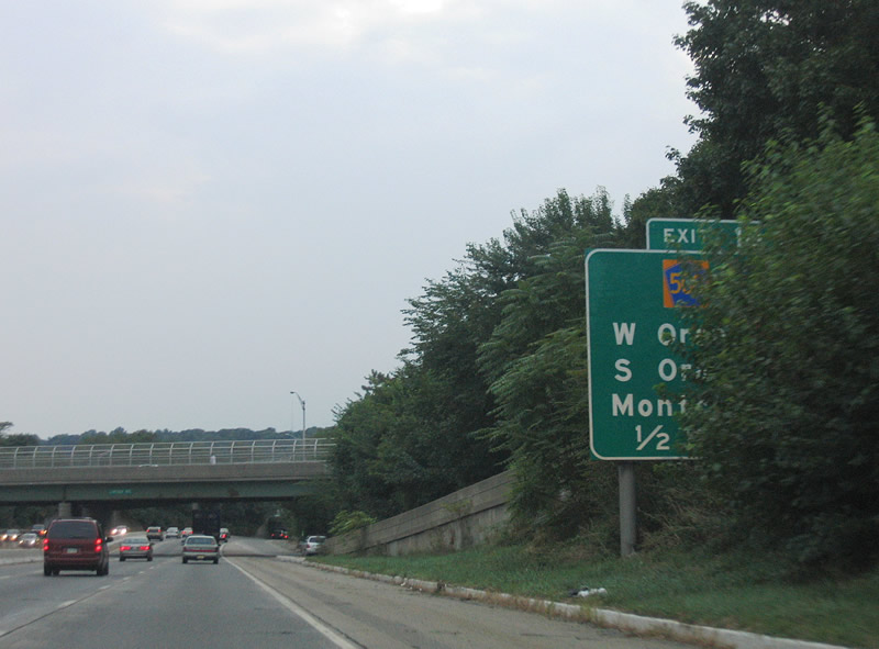
Essex County 508 Spur (Northfield Avenue) connects Interstate 280 with CR 508 (Whittingham Place) via Exit 10 in West Orange.
08/29/05
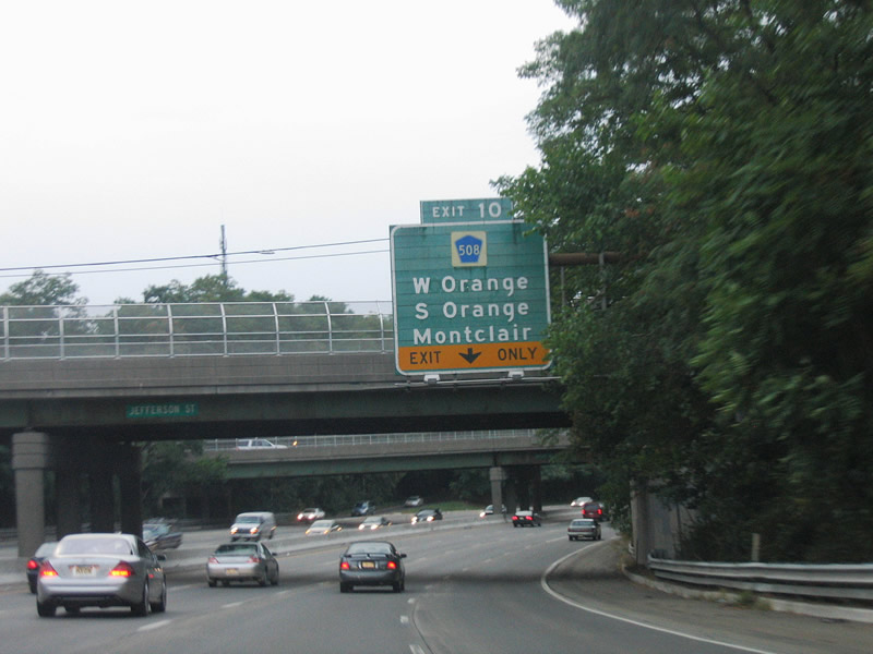
Interstate 280 curves northwest at Jefferson Street toward the Exit 10 off-ramp to CR 508 Spur. Northfield Avenue west to CR 577 south leads drivers to South Orange. Montclair lies northward via various surface streets.
County Route 508 leaves the I-280 corridor to conclude its 16.14 mile route at Route 10 in Livingston township.
08/29/05
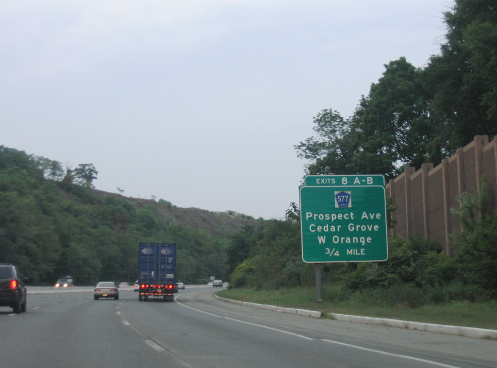
Drivers heading west to Exit 8 face a 6% upgrade as the freeway ascends First Watchung Mountain. Essex County 577 meets the freeway at a six-ramp parclo interchange midway between its drive between South Orange and Cedar Grove.
08/29/05
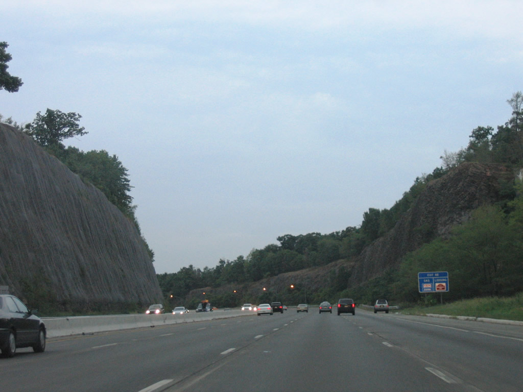
Generous rock cuts line the sides of Interstate 280 on First Watchung Mountain.
08/29/05
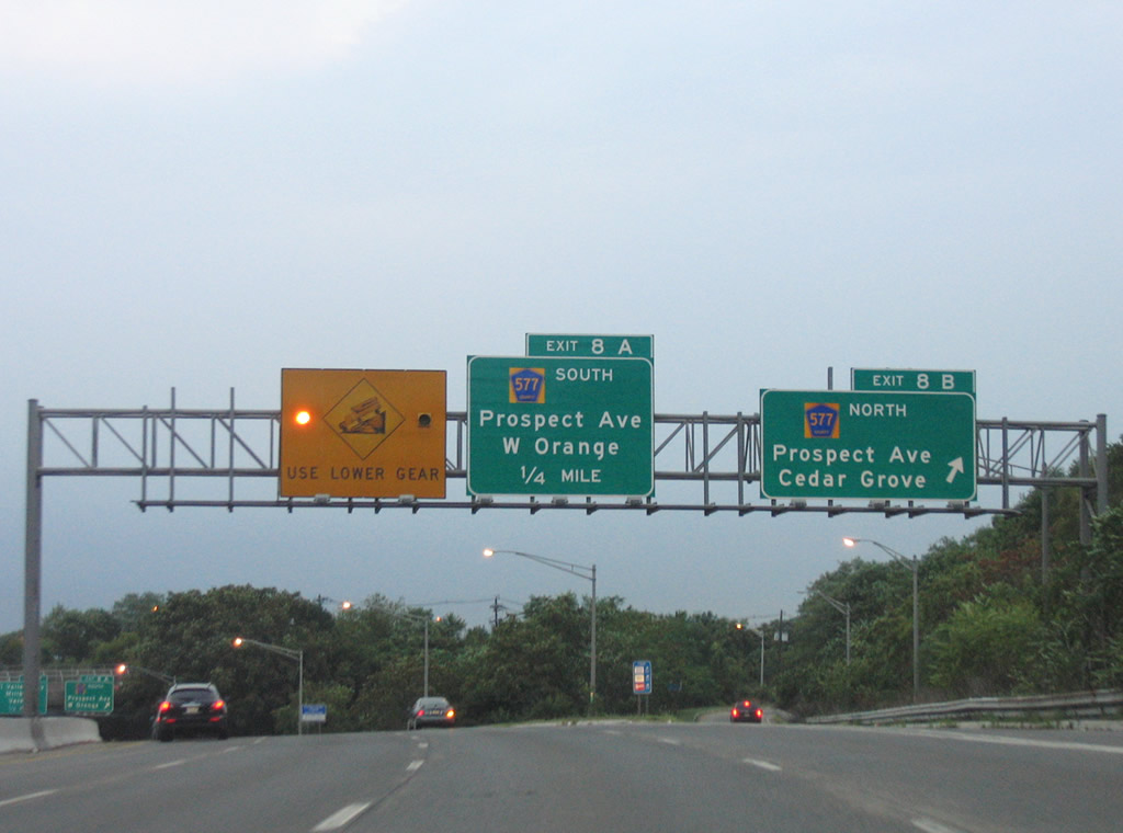
Exit 8B departs Interstate 280 west for Prospect Avenue north to Verona and Cedar Grove. Essex County 577 ends in Verona at CR 506 (Bloomfield Avenue) opposite the southern terminus of New Jersey 23.
08/29/05
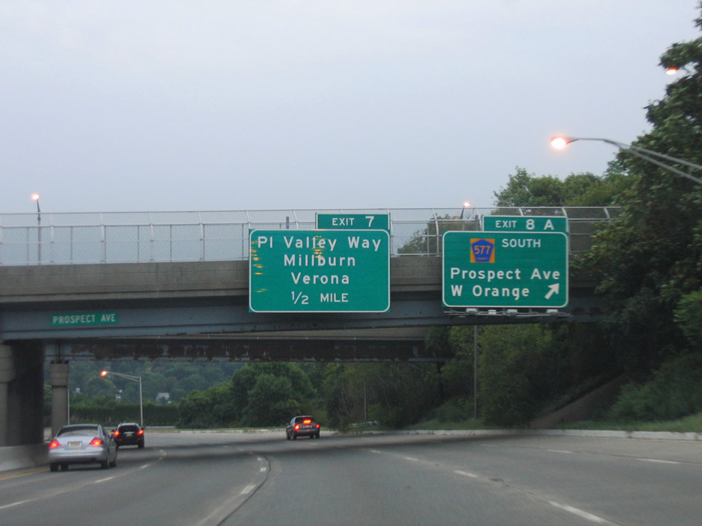
Exit 8A follows onto CR 577 (Prospect Avenue) south to the east end of Route 10 (Mount Pleasant Avenue) and Northfield Avenue (CR 508) in West Orange.
08/29/05
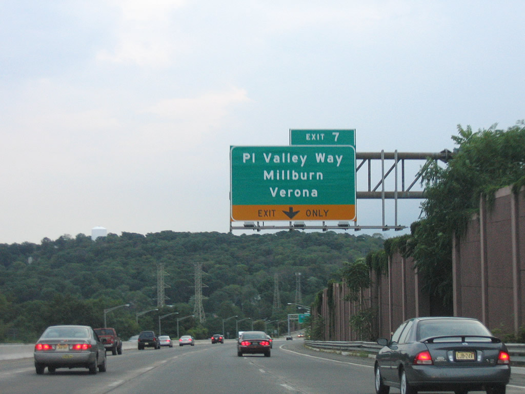
Motorists again descend toward a folded diamond interchange (Exit 7) with Pleasant Valley Way (CR 636). Pleasant Valley Way meets the freeway at Pleasantdale south of Verona.
08/29/05
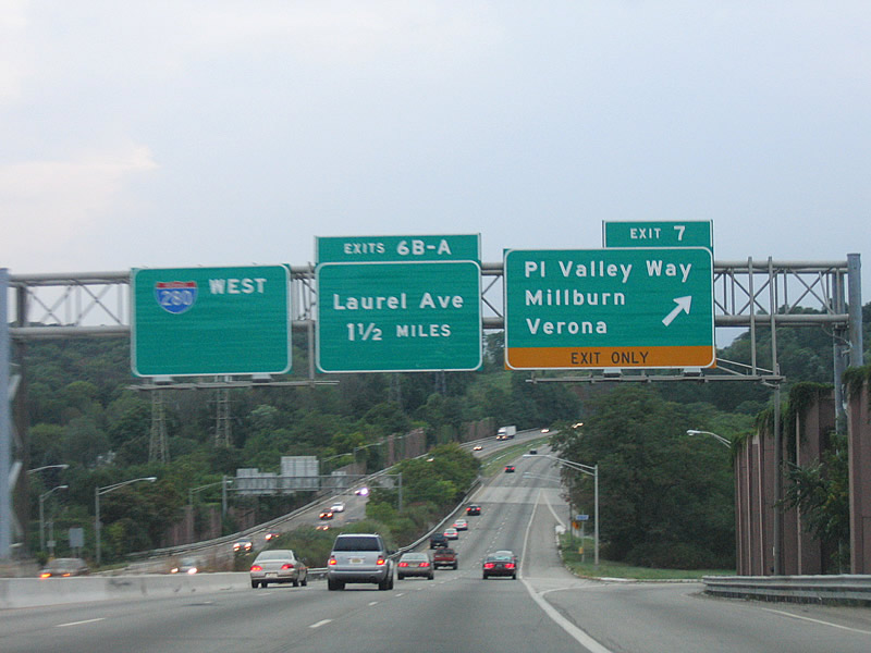
Another ascent looms in the background as Interstate 280 parts ways with Exit 7 to Pleasant Valley Way. Drivers heading south enter the South Mountain Reservation on the drive to Millburn.
08/29/05
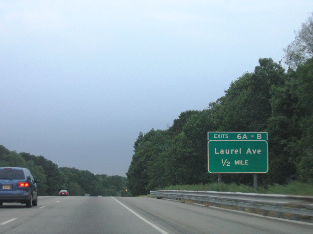
A pronounced rise along Second Netcong Mountain culminates with the six-ramp parclo interchange at Laurel Avenue.
08/29/05
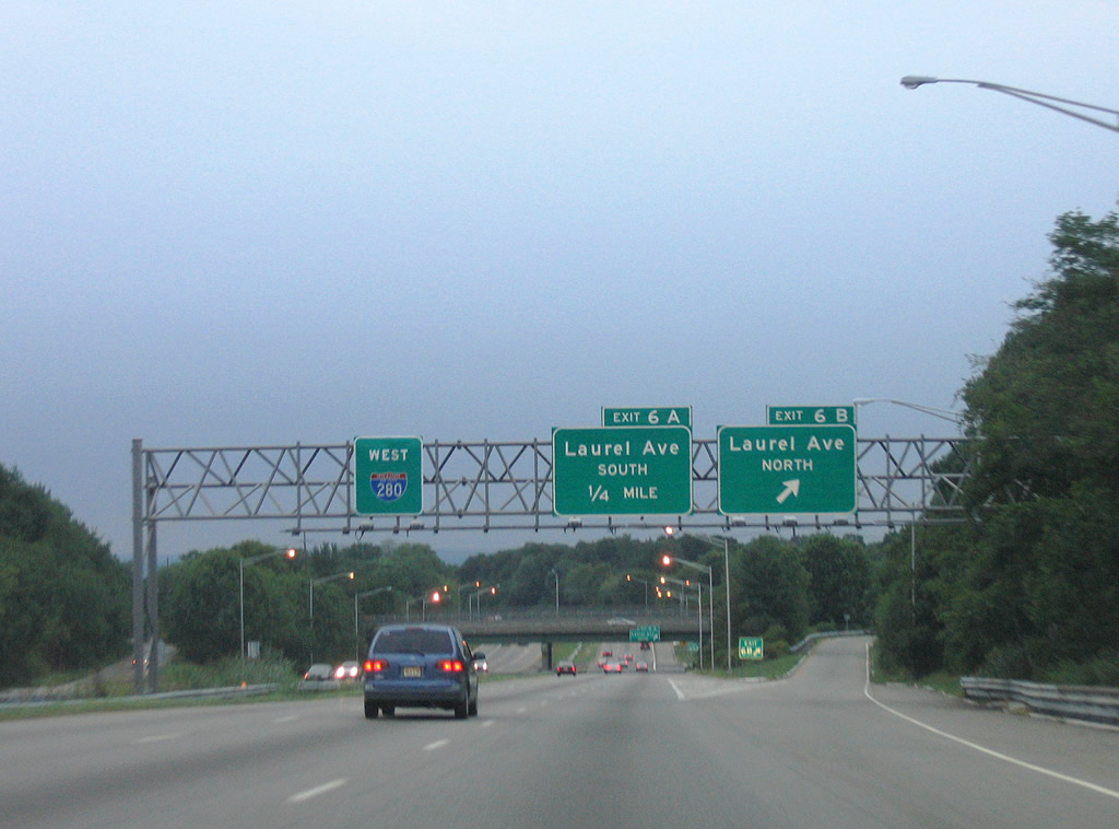
Laurel Avenue (CR 634) north travels east from Exit 6B to Eagle Rock Avenue (CR 611) at Pleasantdale.
08/29/05
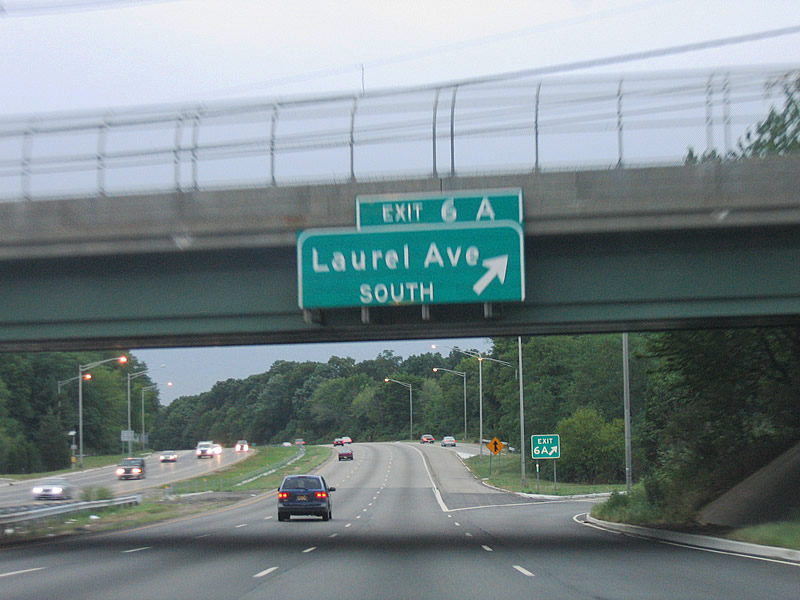
Laurel Avenue (CR 634) continues west through Livingston township and splits with Shrewsbury Drive south to Millburn.
08/29/05
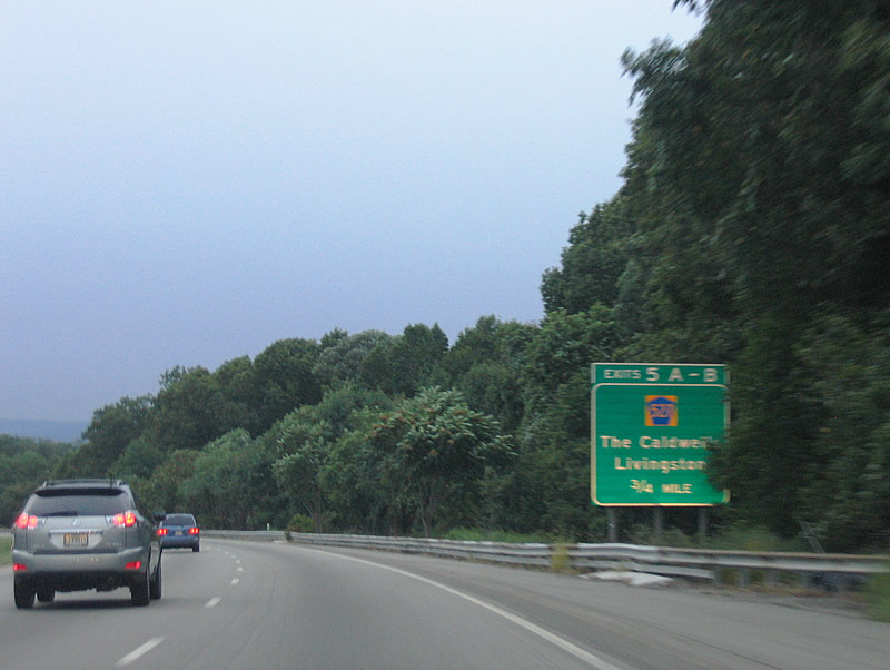
A cloverleaf interchange facilitates the movements between Interstate 280 and Essex County 527 (Livingston Avenue) at Exits 5B/A.
08/29/05
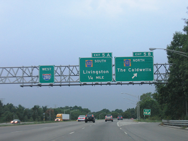
CR 527 north travels to Roseland, Essex Falls, and Caldwell, utilizing several surface roads to its end at New Jersey 23 in Cedar Grove. Interests to West and North Caldwell can use Exit 5B.
08/29/05

Exit 5A loops onto Livingston Avenue southbound to Route 10 (Mt. Pleasant Avenue) in Livingston. County Route 527 travels 84.86 miles between Route 166 at Toms River and Cedar Grove.
08/29/05
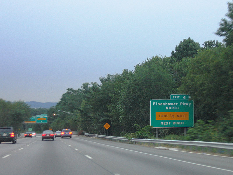
Eisenhower Parkway (CR 609) meets Interstate 280 at the next cloverleaf interchange (Exits 4B/A). The divided highway travels north from Essex County 510 (South Orange Avenue) to an abrupt end north of the freeway. The parkway had grander plans that included a connection with New Jersey 24, where an abandoned cloverleaf interchange remains in Chatham.2
08/29/05
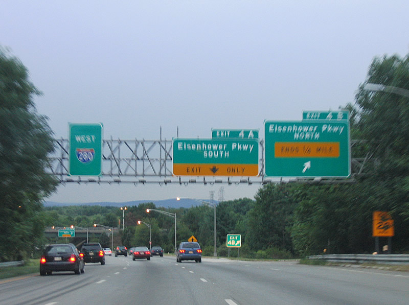
Exit 4B serves a handful of office buildings on the short stub of Eisenhower Parkway northbound.
08/29/05
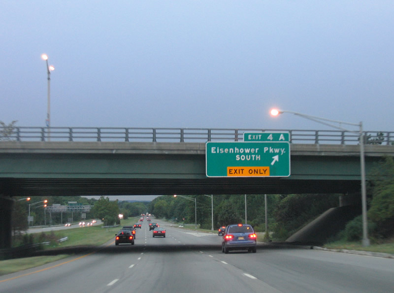
Westbound at the Exit 4A ramp to Eisenhower Parkway south to Roseland and Route 10 (Mt. Pleasant Avenue) in Livingston.
08/29/05
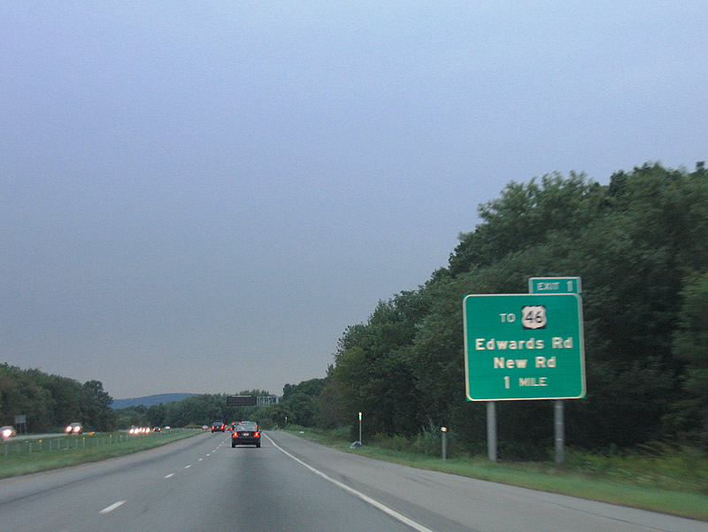
Interstate 280 crosses the Passaic River for a second time to enter Morris County. The freeway traverses Hatfield Swamp on the one mile approach to Exit 1 (Edwards Road / New Road).
08/29/05
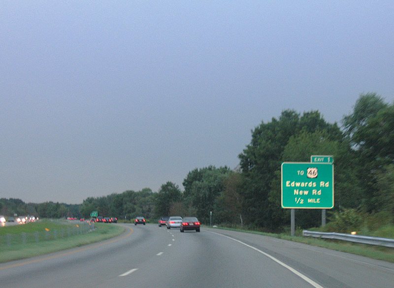
Exit 1 provides access to U.S. 46 via either Edwards or New Roads north near Pine Brook. U.S. 46 parallels Interstate 80 closely east to Clinton and west to Parsippany.
08/29/05
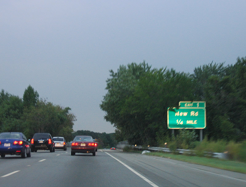
A parclo interchange joins Interstate 280 with Edwards Road north, New Road and Ridgedale Avenue (CR 632). CR 632 parallels I-280 southward to East Hanover township.
08/29/05
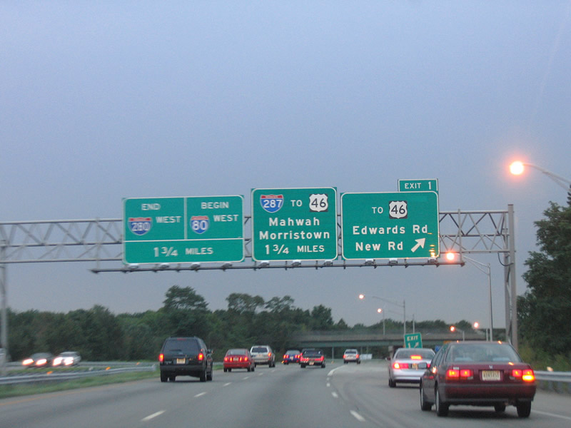
Interstate 280 defaults onto Interstate 80 west beyond the Exit 1 off-ramp to Edwards and New Roads. There is no direct access to Interstate 80 east. Instead drivers bound for that direction must use U.S. 46 east to Hook Mountain Road.
08/29/05
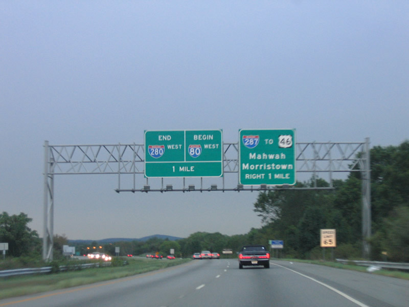
Interstate 280 ends in one mile at a double wye interchange. Ramps split between the Interstate 80 westbound mainline and a collector distributor roadway for Interstate 287 and U.S. 46 at Parsippany.
08/29/05
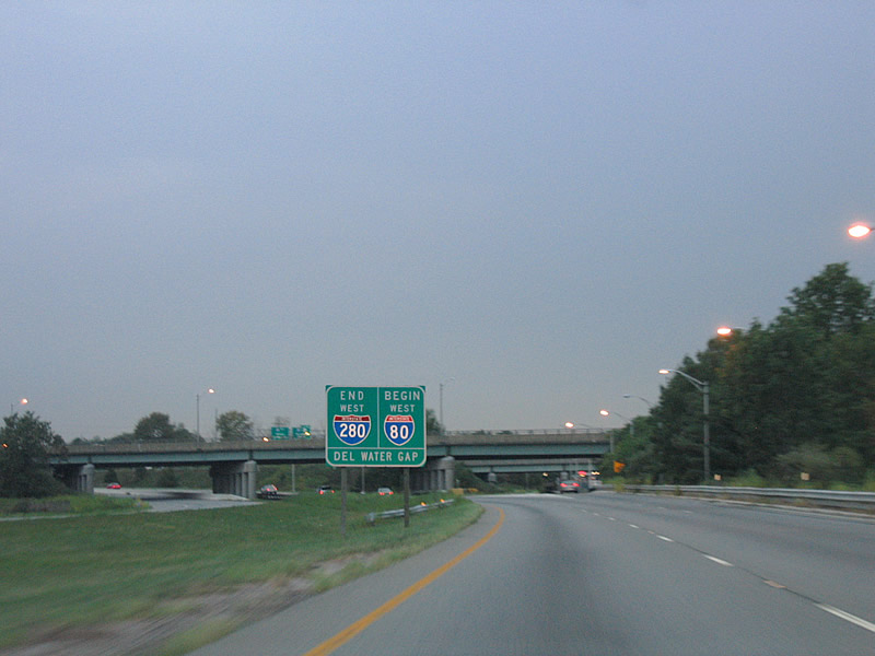
End Interstate 280 sign assembly posted ahead of the ramp split to Interstate 80 west and Interstate 287. I-80 sees the Delaware Water Gap as its destination. The water gap is a scenic cut in the mountains where Interstate 80 crosses the Delaware River into Pennsylvania.
08/29/05
References:
- William A. Stickel Memorial Bridge, Nicolas Janberg's Structurae.
- Kevin Porter.
Photo Credits:
- AARoads: 08/29/05
Page Updated Monday April 21, 2014.