
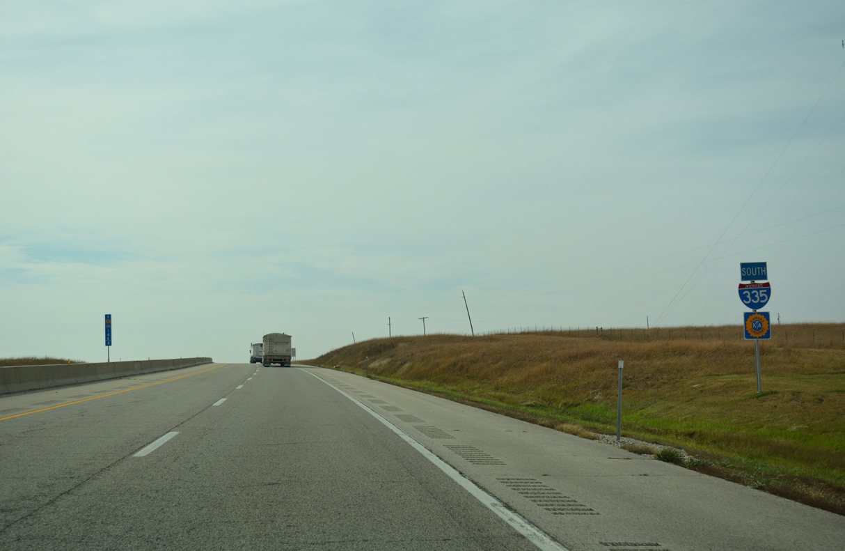
Interstate 335 / Kansas Turnpike - South


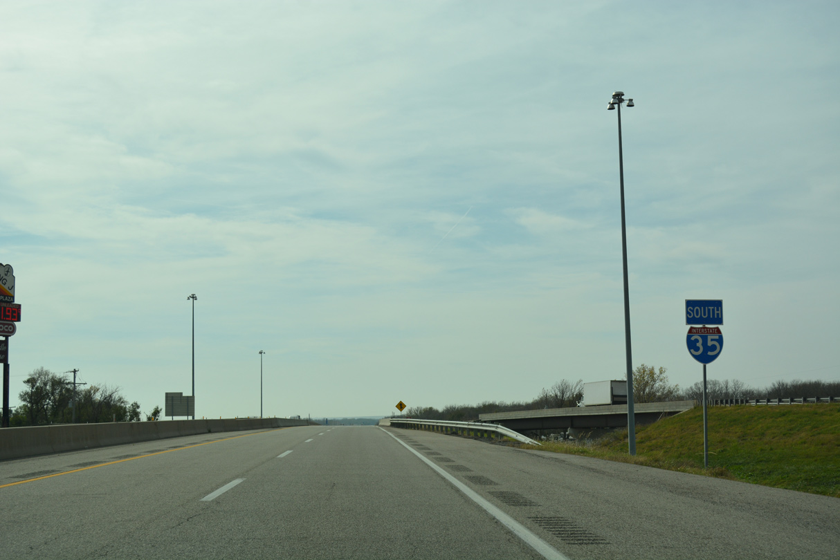
Interstate 335 curves southwest from the South Topeka Interchange to cross under the freeway along U.S. 75.
10/31/16
10/31/16
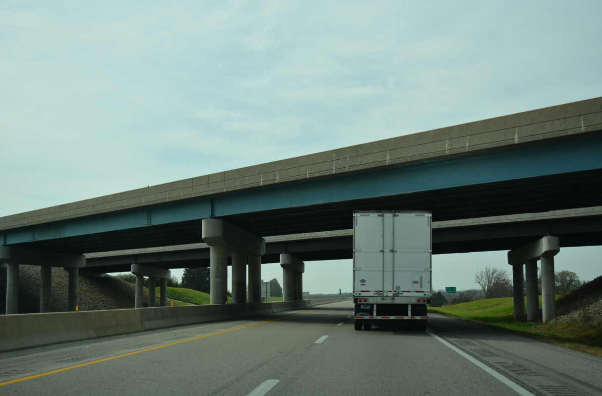
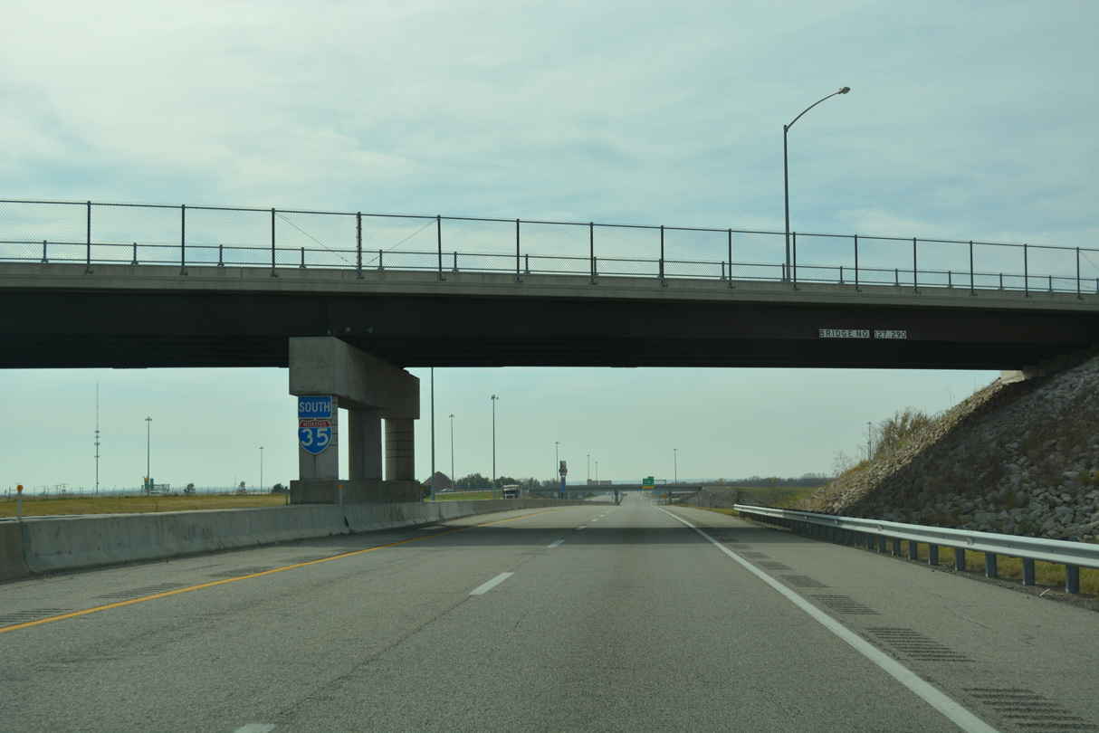
The bridges for U.S. 75 over the Kansas Turnpike were built in 1997 for northbound and 2001 for southbound.
10/31/16
10/31/16
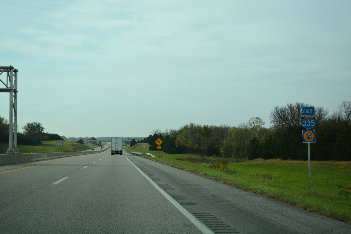
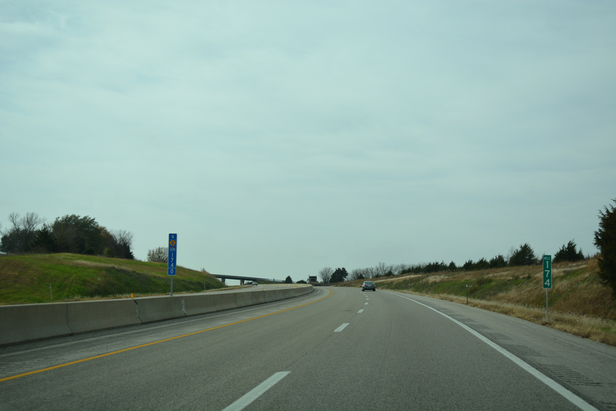
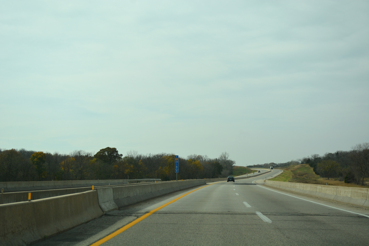
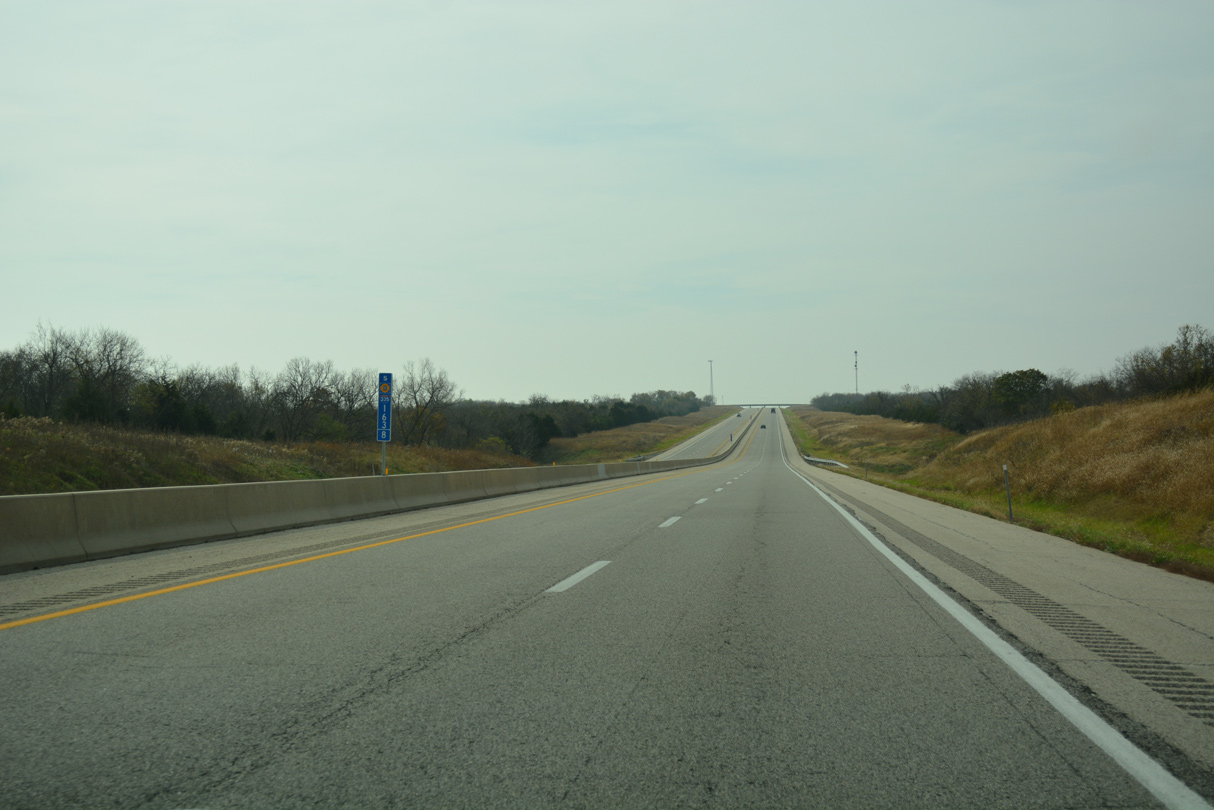
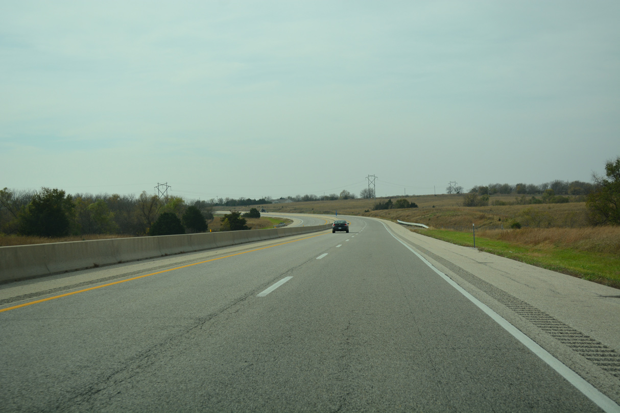
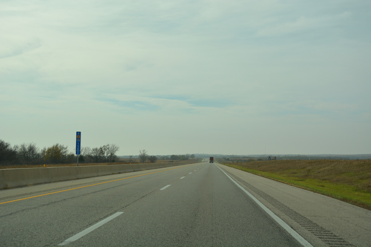
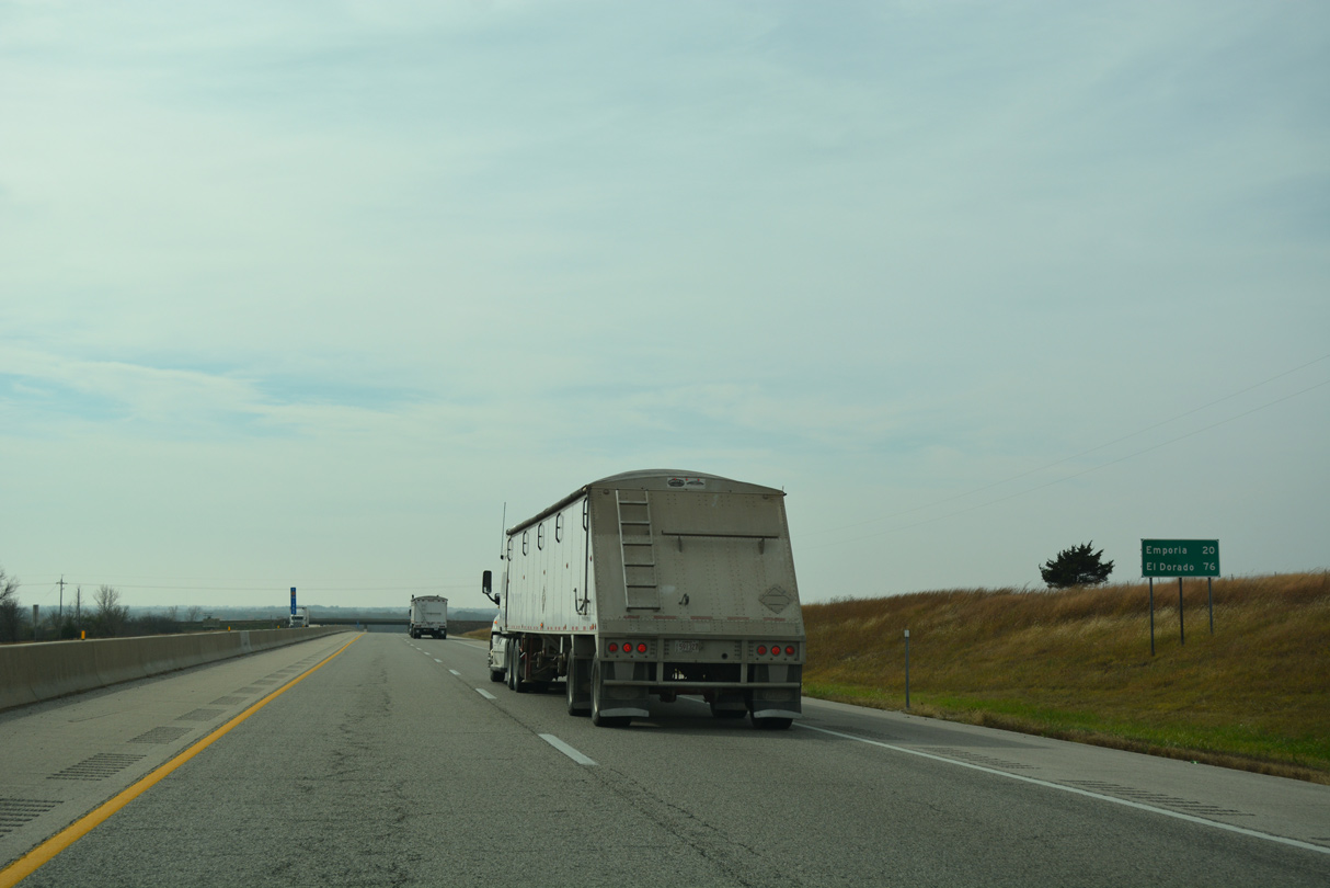
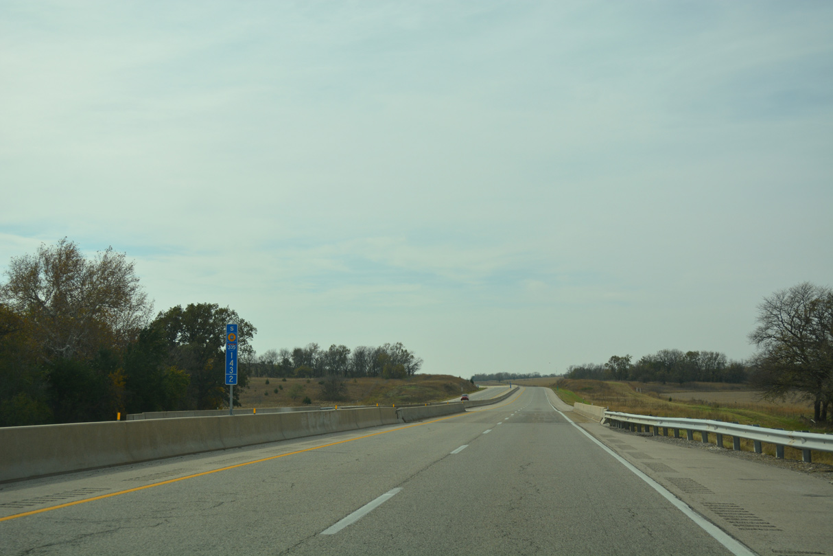
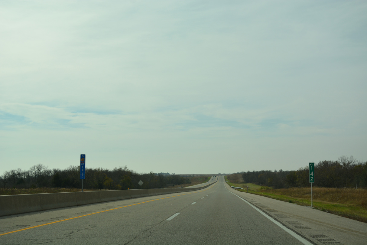
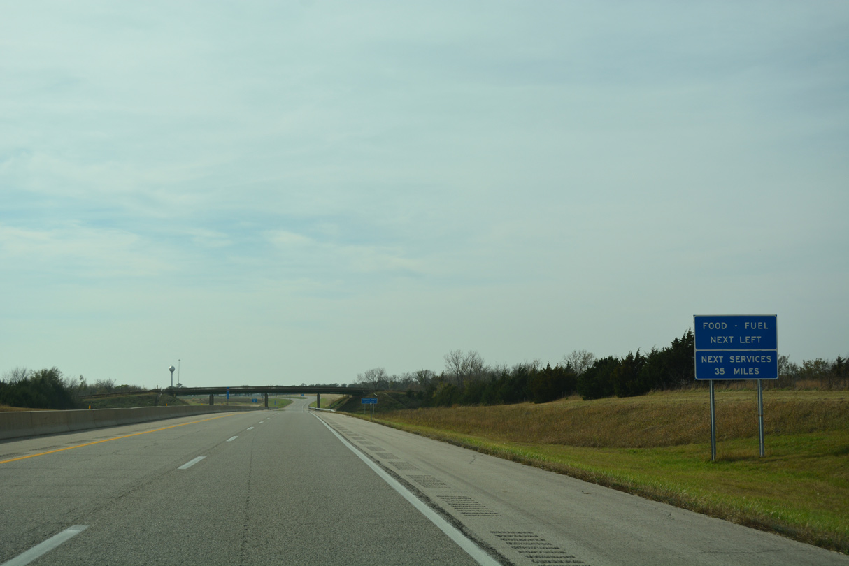
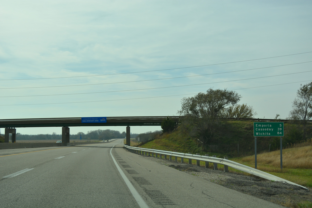
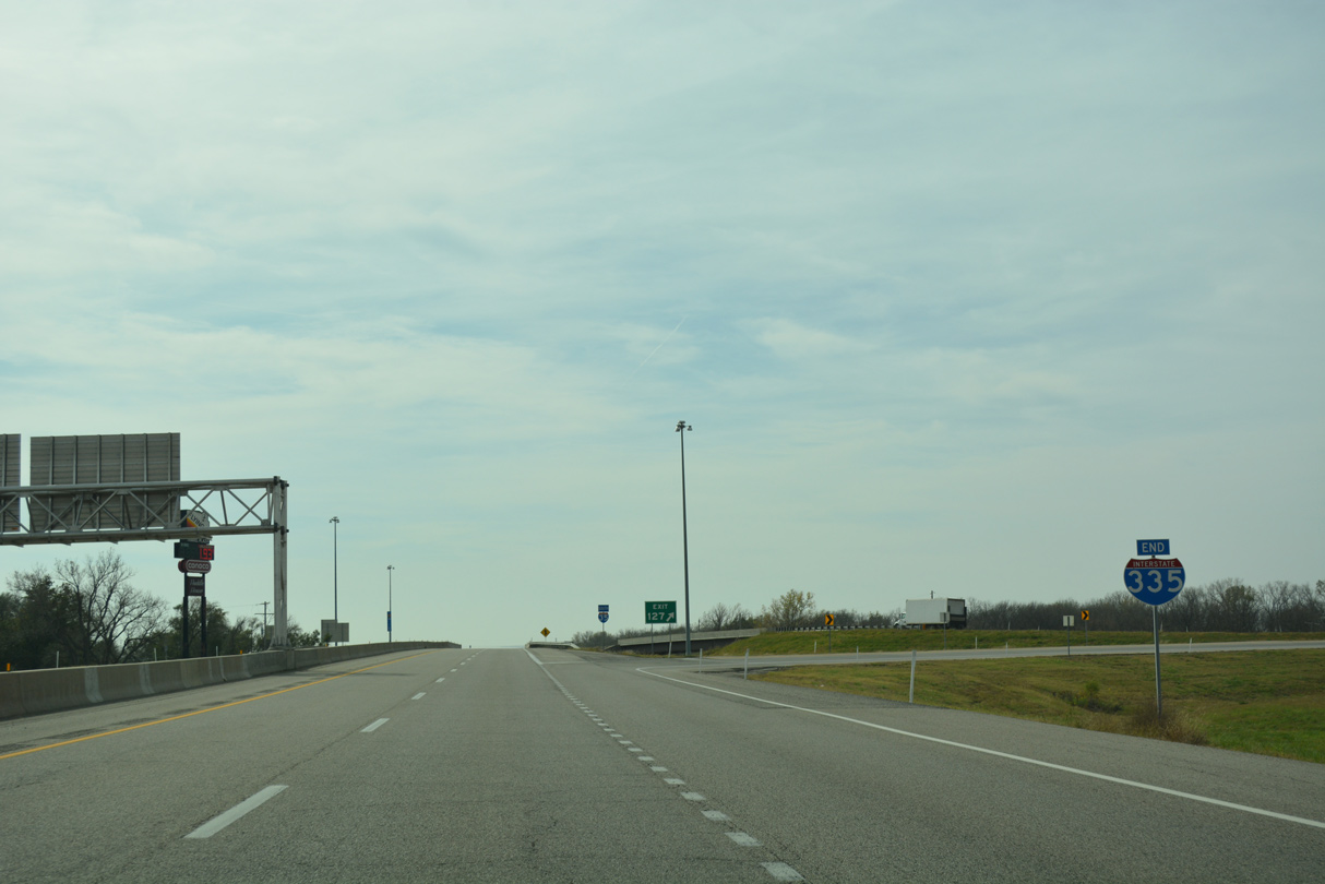
The 30 mile exit less stretch along I-335 from I-470 to U.S. 56 is the second longest on the Kansas Turnpike. I-35 south from Emporia to K-177 is four miles longer.
10/31/16
10/31/16
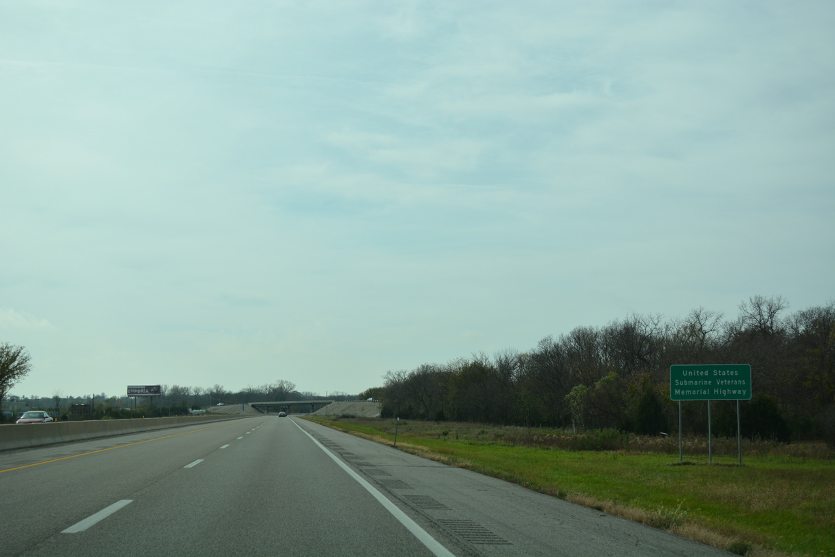
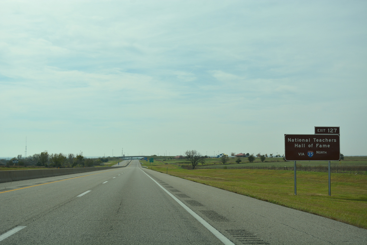
I-335 along the Kansas Turnpike is also the United States Submarine Veterans Memorial Highway.
10/31/16
10/31/16
10/31/16
10/31/16
10/31/16
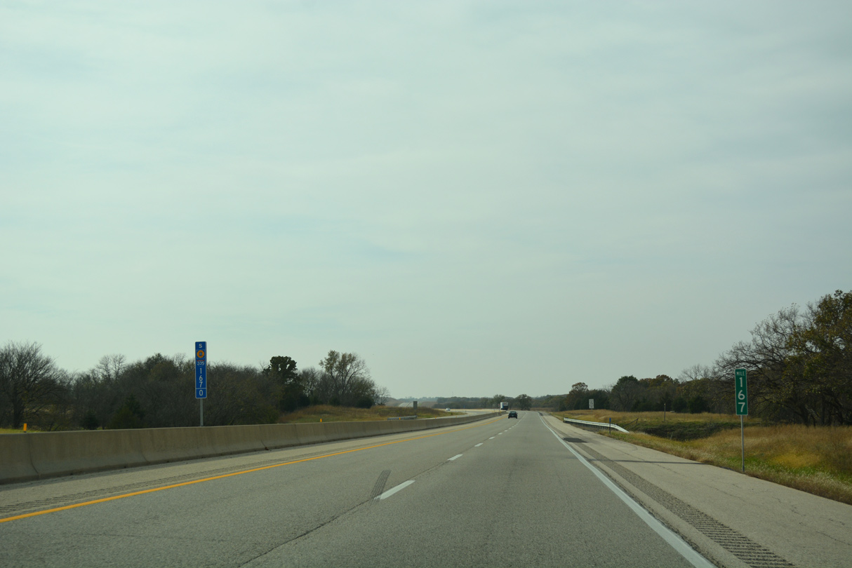
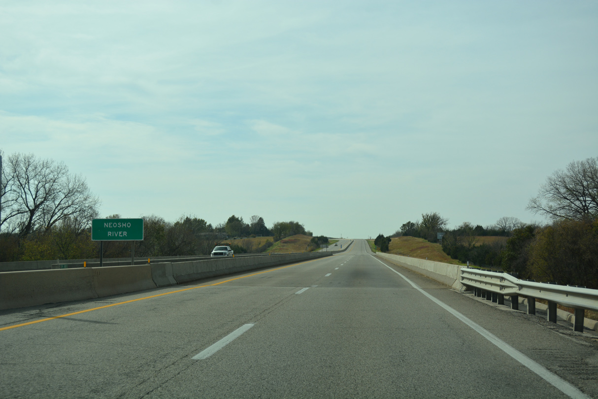
The Kansas Turnpike spans the Wakarusa River at mile marker 167.8 near the city of Auburn.
10/31/16
10/31/16
10/31/16
10/31/16
10/31/16
10/31/16
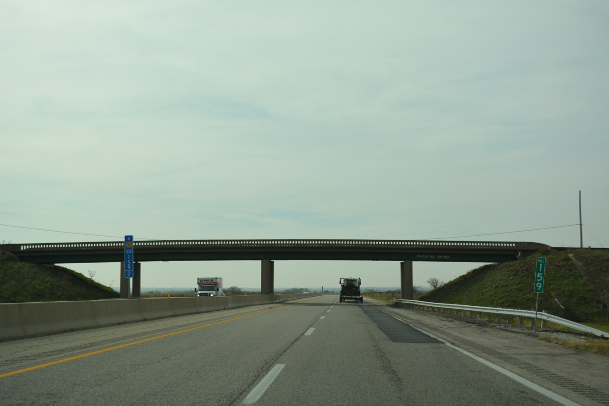
The bridge for W 149th Street by mile marker 159 was one of several raised to provide at least a vertical clearance of 15 feet 9 inches during a project underway from July 24, 2017 to December 2019.1
10/31/16
10/31/16
10/31/16
10/31/16
10/31/16
10/31/16
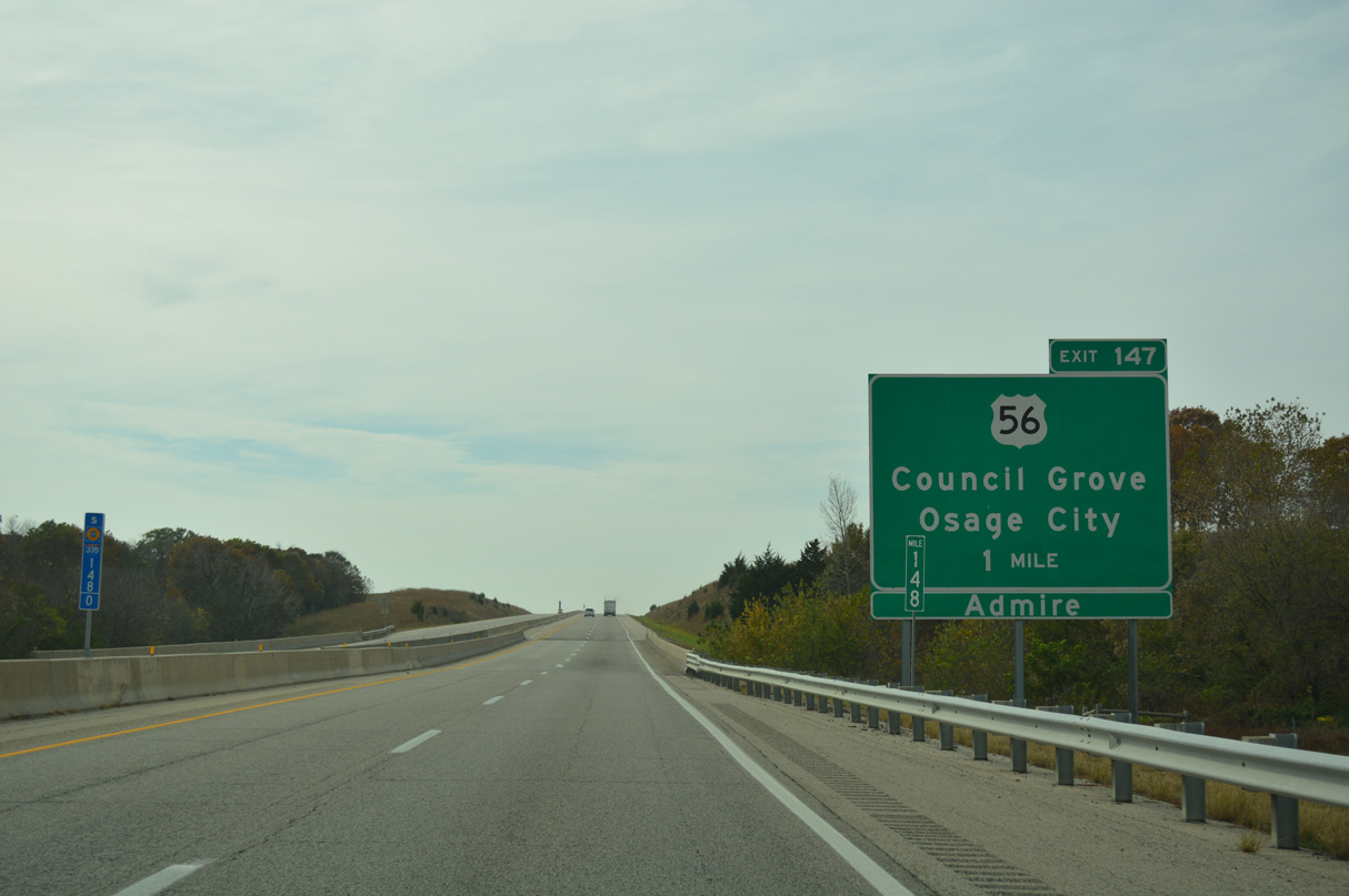
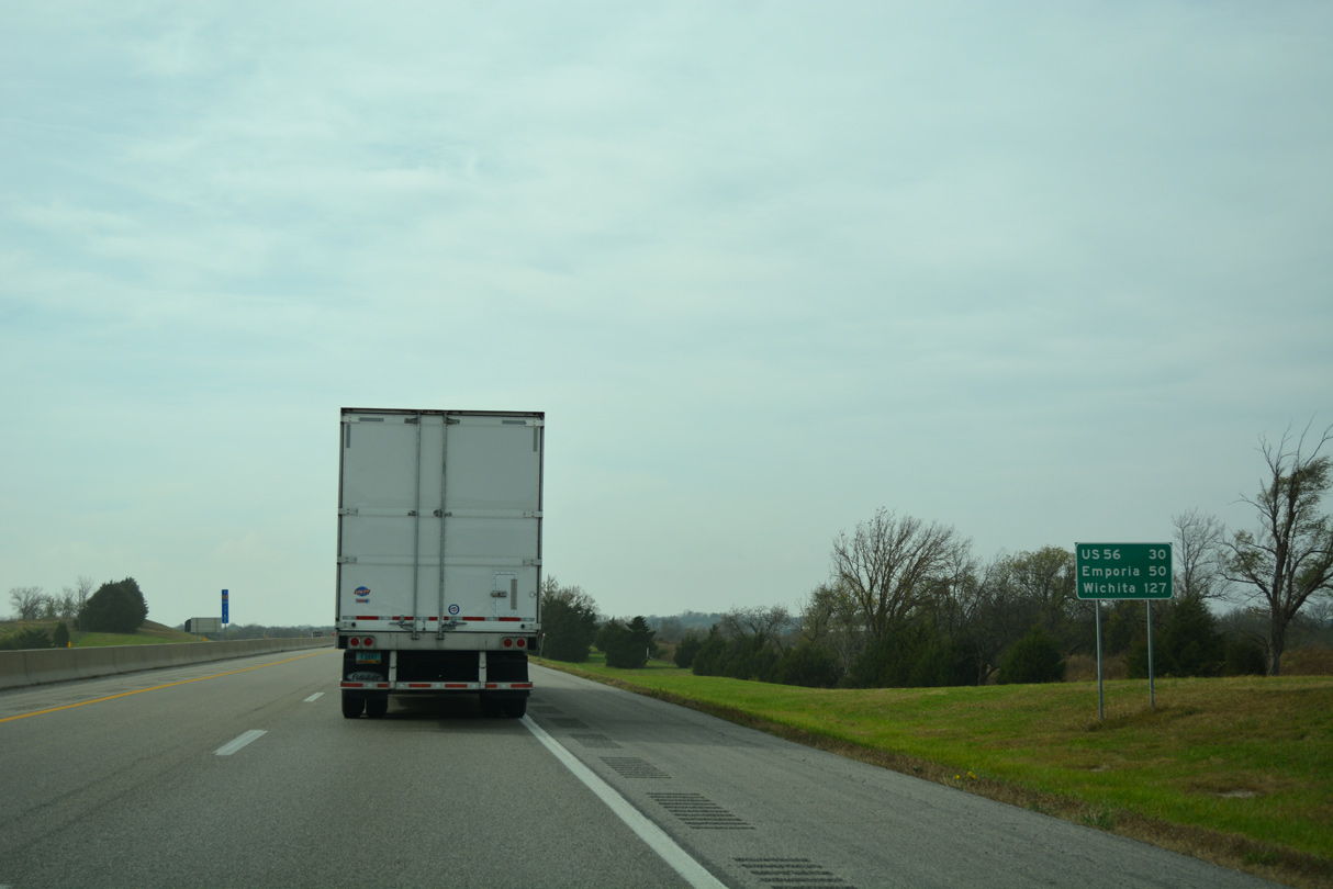
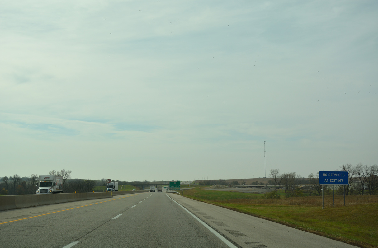
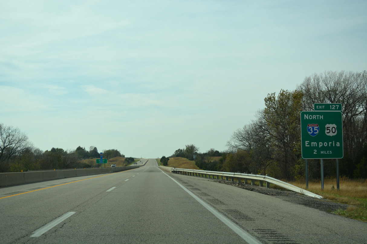
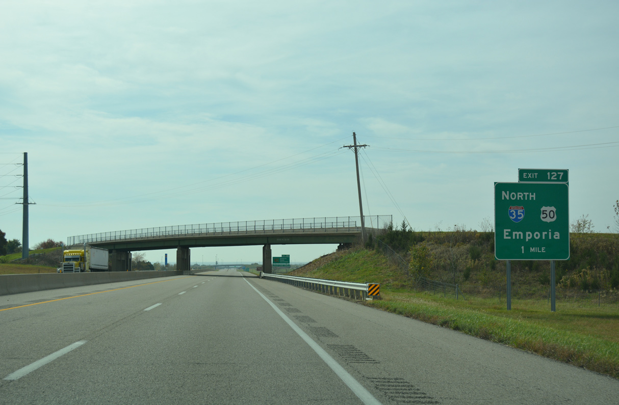
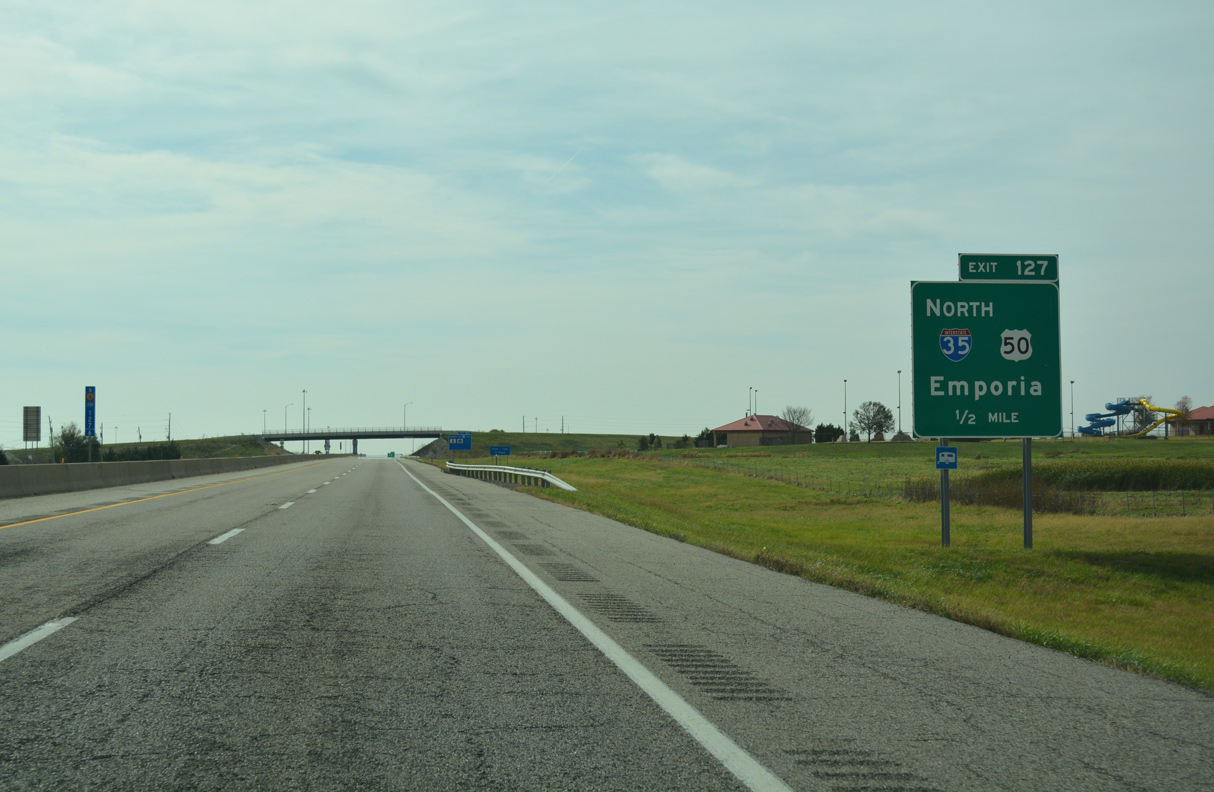
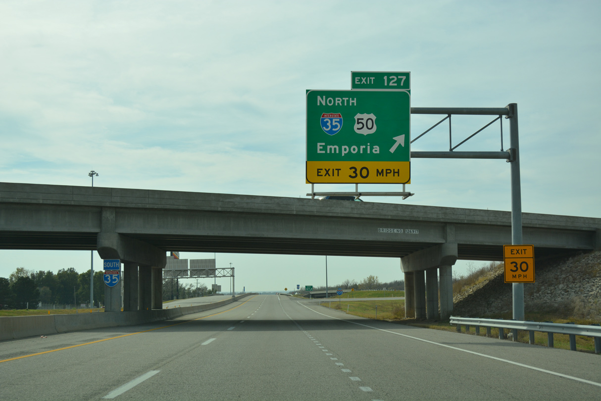
U.S. 56, a cross state route stretches 471.45 miles from the Oklahoma panhandle to Kansas City, Missouri, meets Interstate 335 at Exit 147.
10/31/16
10/31/16
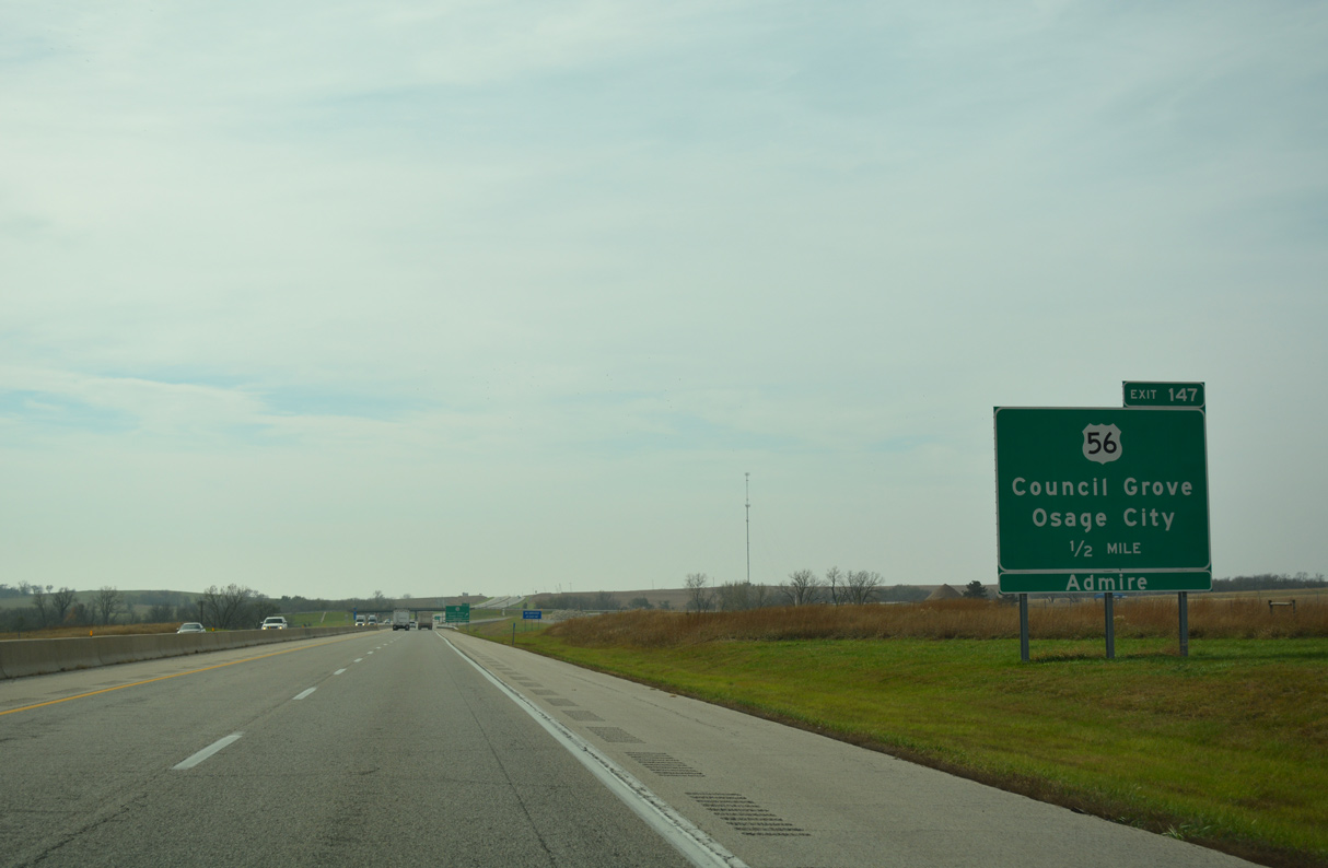
U.S. 56 head south from Burlingame to K-31 near Osage City and west into Lyons County ahead of the Kansas Turnpike.
10/31/16
10/31/16
10/31/16
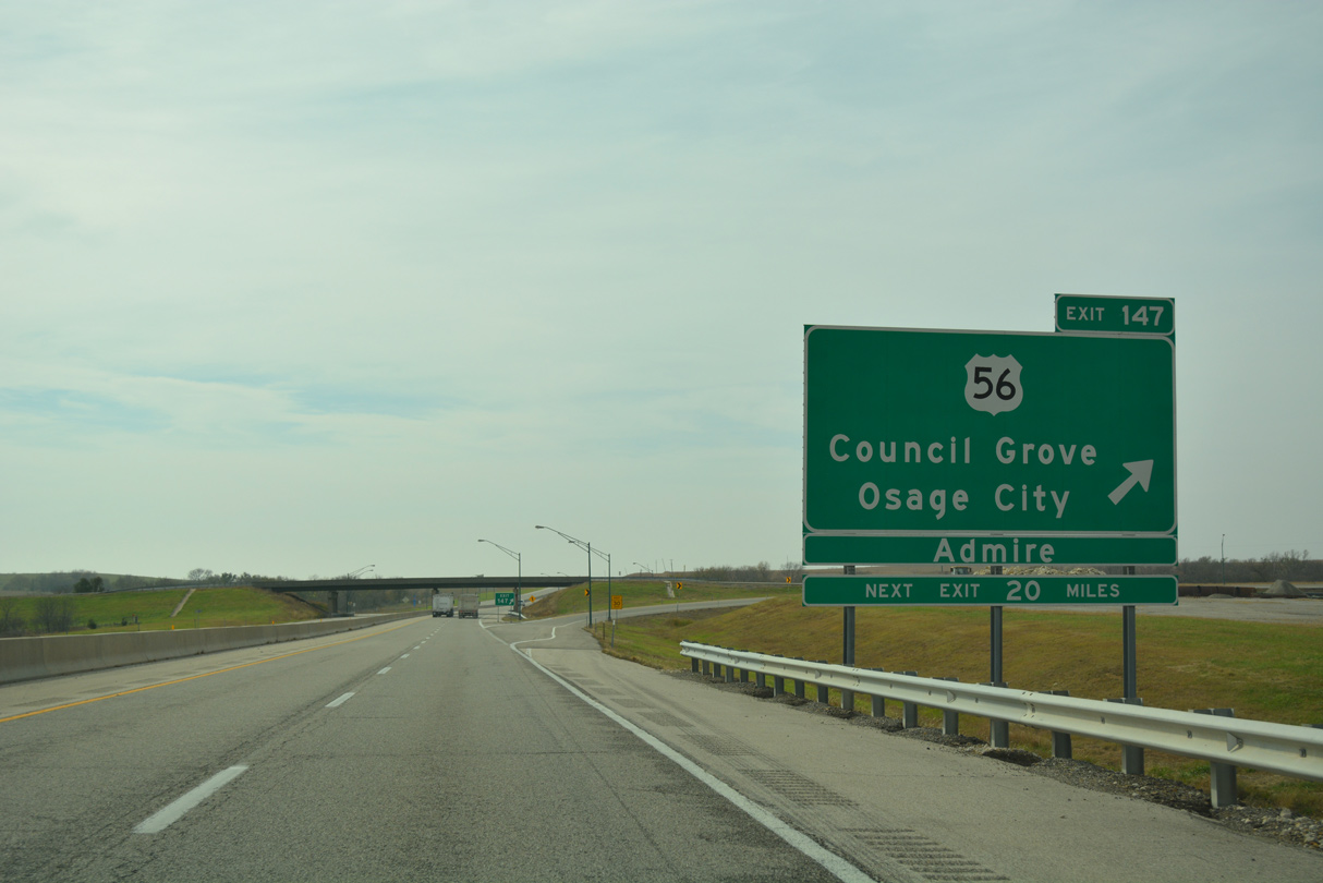
U.S. 56 continues west from Interstate 335 to K-99 near Admire and 24 miles to the Morris County seat of Council Grove.
10/31/16
10/31/16
10/31/16
10/31/16
10/31/16
10/31/16
10/31/16
10/31/16
10/31/16
10/31/16
10/31/16
10/31/16
10/31/16
10/31/16
10/31/16
10/31/16
10/31/16
10/31/16
10/31/16
10/31/16
10/31/16
10/31/16


References:
- "November 2018 Construction Report." Kansas Turnpike Authority (KTA).
Photo Credits:
- Alex Nitzman, JP Nasiatka: 10/31/16
Connect with:
Page Updated Thursday October 28, 2021.