
Interstate 565 West

 West
West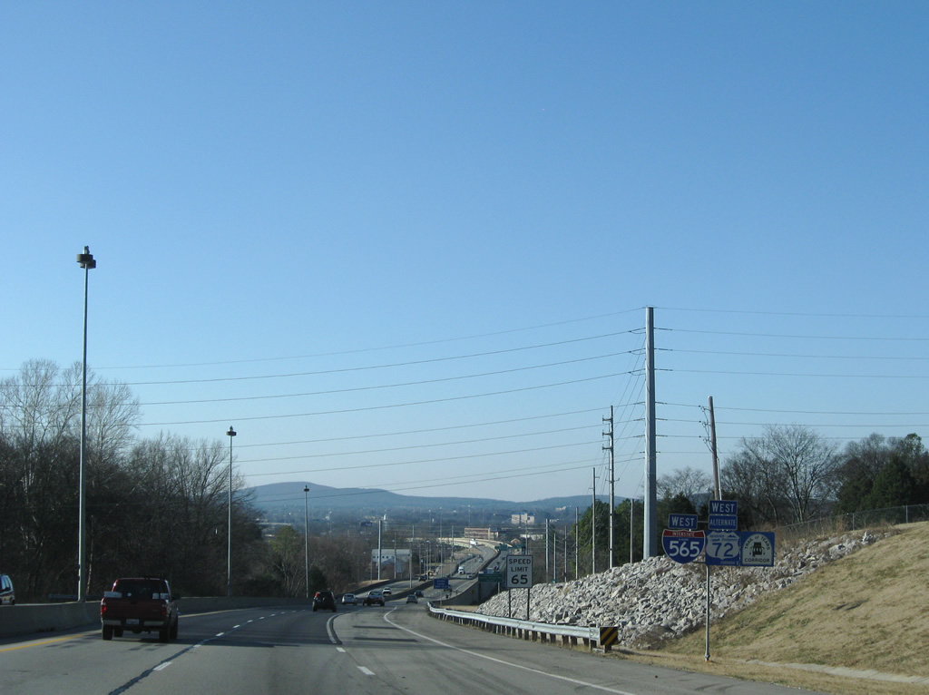
U.S. 72 Alternate begins and follows all of Interstate 565 west to Interstate 65 and SR 20. The corridor doubles as both Appalachian Development Corridor V and the Trail of Tears Corridor.
12/28/09
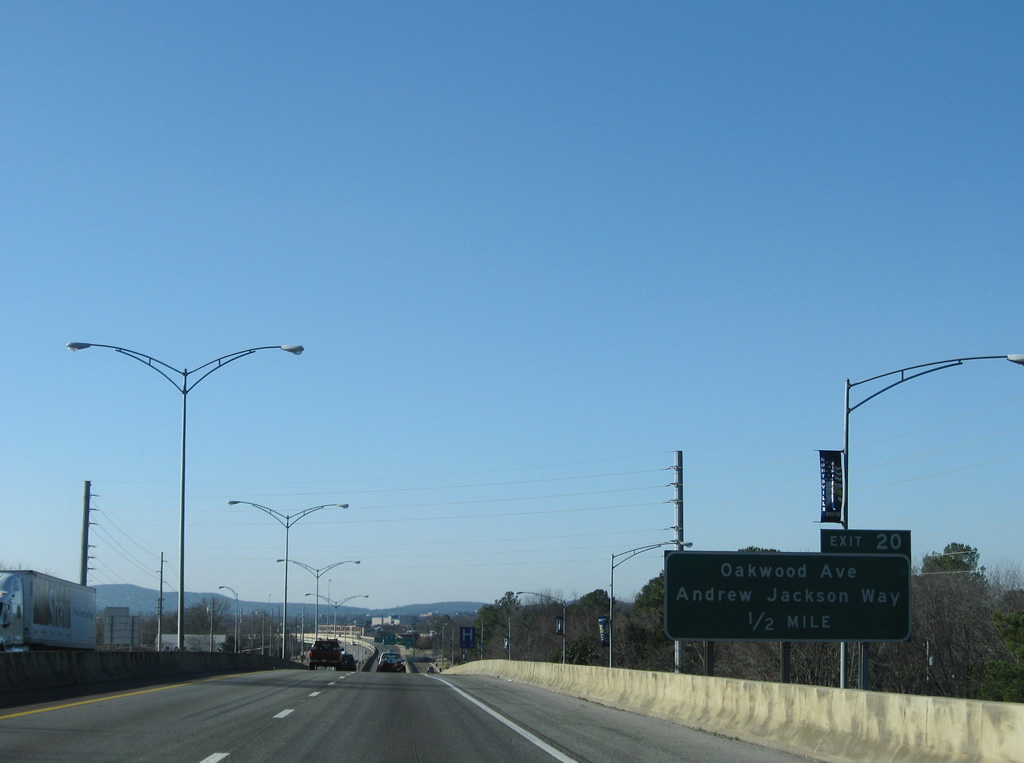
Interstate 565 directly replaced Andrew Jackson Way (original U.S. 72) from Chapman Mountain southwest to Oakwood Avenue (Exit 20). Portions of the original road remain in service as local frontage roads.
12/28/09
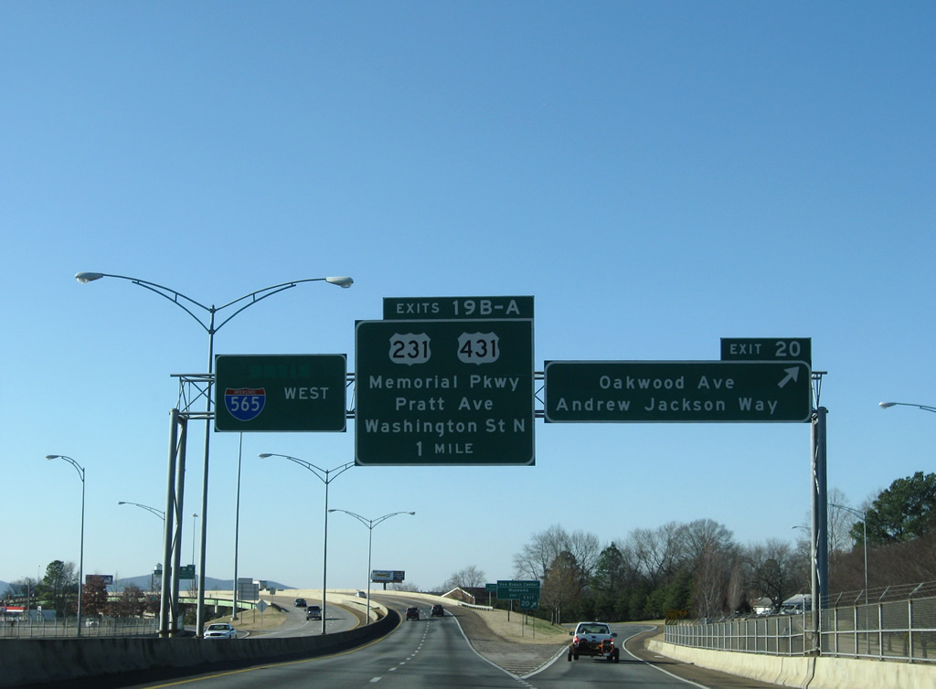
Exit 20 constitutes a wye interchange with Andrew Jackson Way south at Oakwood Avenue. Andrew Jackson Way continues south to Five Points and Echols Hill. Oakwood Avenue travels west from Oak Park and Chapman Mountain to Memorial Parkway and Brandontown. Exits 19B/A follow to Downtown and U.S. 231 & 431. Note the pull through panel label scars from when Interstate 565 began here.
12/28/09
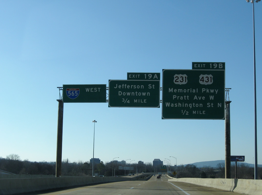
Interstate 565 & U.S. 72 Alternate elevate onto a viaduct from Oakwood Avenue west to near Triana Boulevard. The freeway is designated the Admiral Alan B. Shepard, Jr. Highway. Exit 19B departs in one half mile serving interests to Pratt Avenue west and Washington Street north and U.S. 231 & 431 (Memorial Parkway). Exit 19A serves Washington Street south to Jefferson Street and the Huntsville central business district independently.
12/28/09
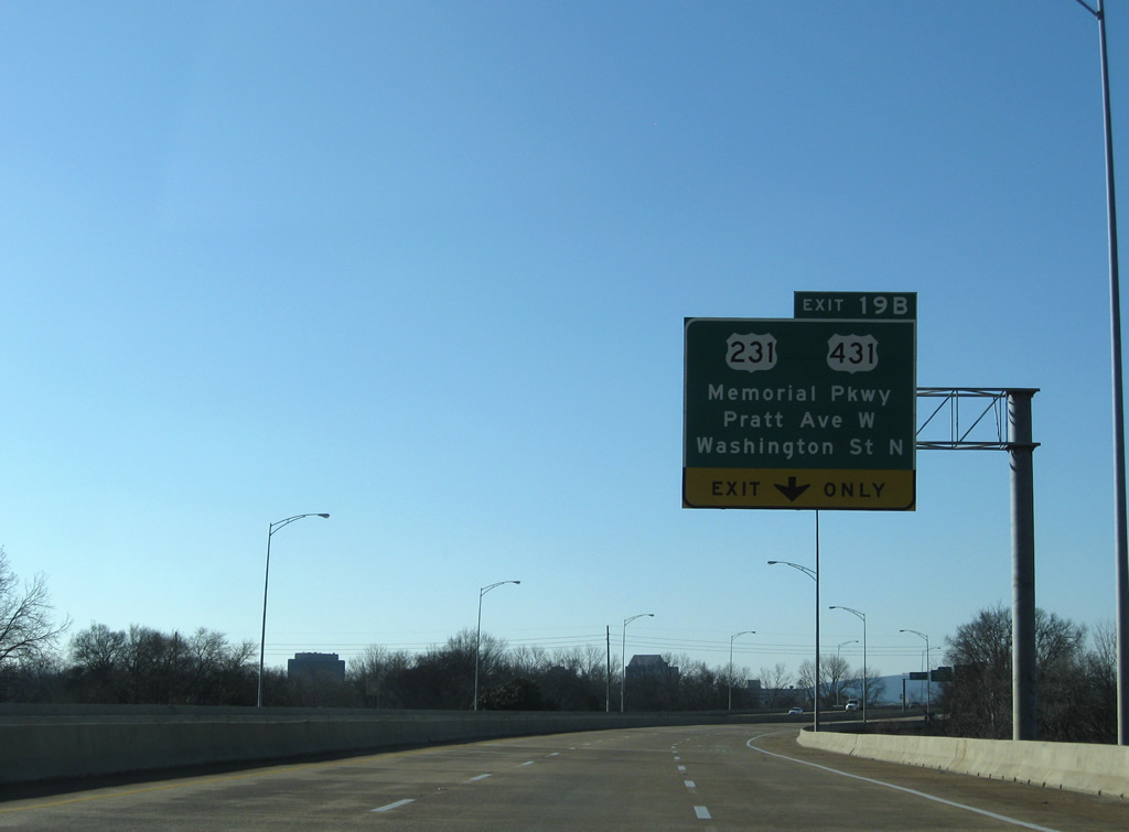
The Oakwood Avenue wye interchange forms an exit-only lane for U.S. 231 & 431 (Memorial Parkway) and Pratt Avenue west. U.S. 231 & 431 constitute a north-south urban expressway to the west of the central business district. The controlled access portion of Memorial Parkway leads northeast to U.S. 72 at Sparkman Drive and south to Martin Road.
12/28/09
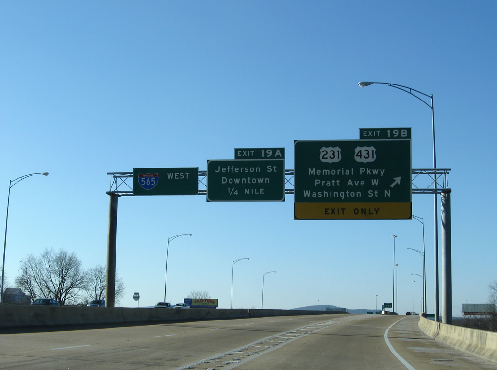
Exit 19A consists of a lengthy collector distributor roadway to the directional cloverleaf interchange with U.S. 231 & 431 (Memorial Parkway). U.S. 231 & 431 share pavement from Fayetteville, Tennessee southward to Governors Drive (SR 53) in Huntsville.
12/28/09
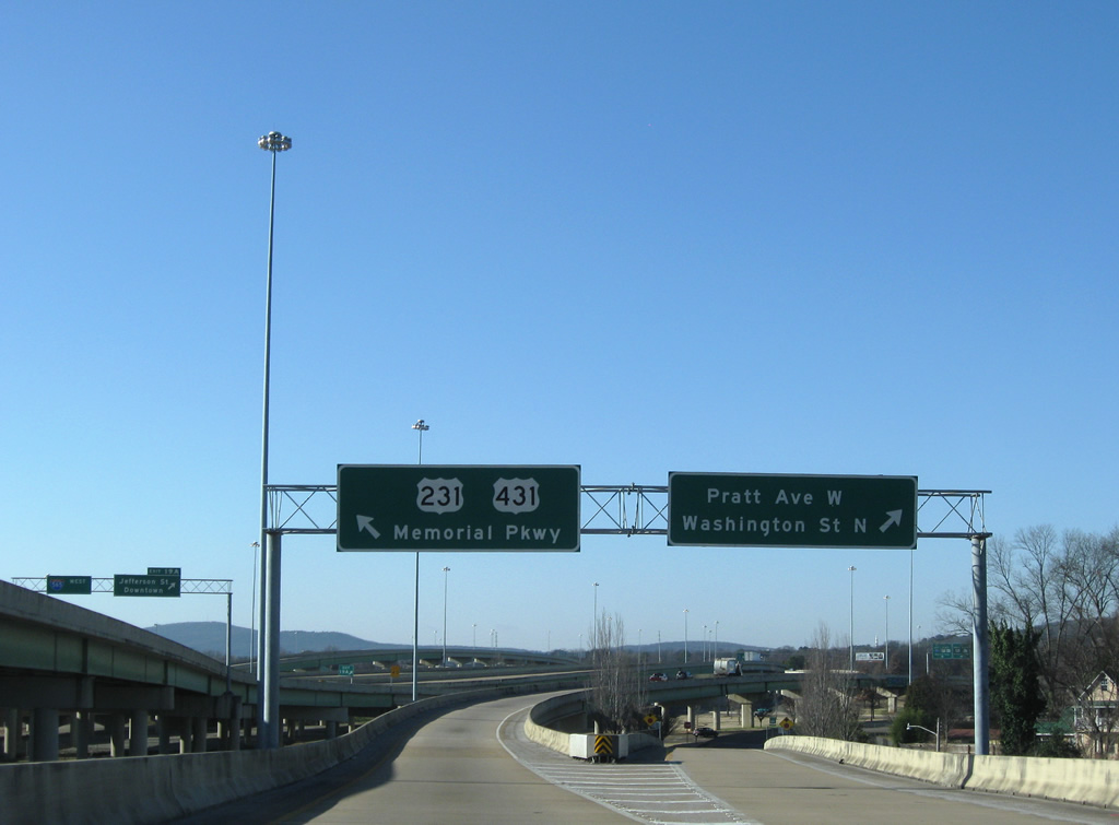
Lowering from the I-565/U.S. 72 Alternate viaduct, Exit 19A partitions into ramps for Pratt Avenue west and the c/d roadway west to Memorial Parkway. Pratt Avenue ventures west from Five Points to become University Drive at the south split of U.S. 72 west from Memorial Parkway. Washington Street carries two way traffic north from Exit 19B to U.S. 72 east of U.S. 231/431.
12/28/09
A single point urban interchange (SPUI) otherwise joins Interstate 565 directly with Washington Street via Exit 19A. Access is only provided to Washington Street south to Jefferson Street. Jefferson Street leads into downtown and serves interests to the Von Braun Center via Monroe Street.
12/28/09
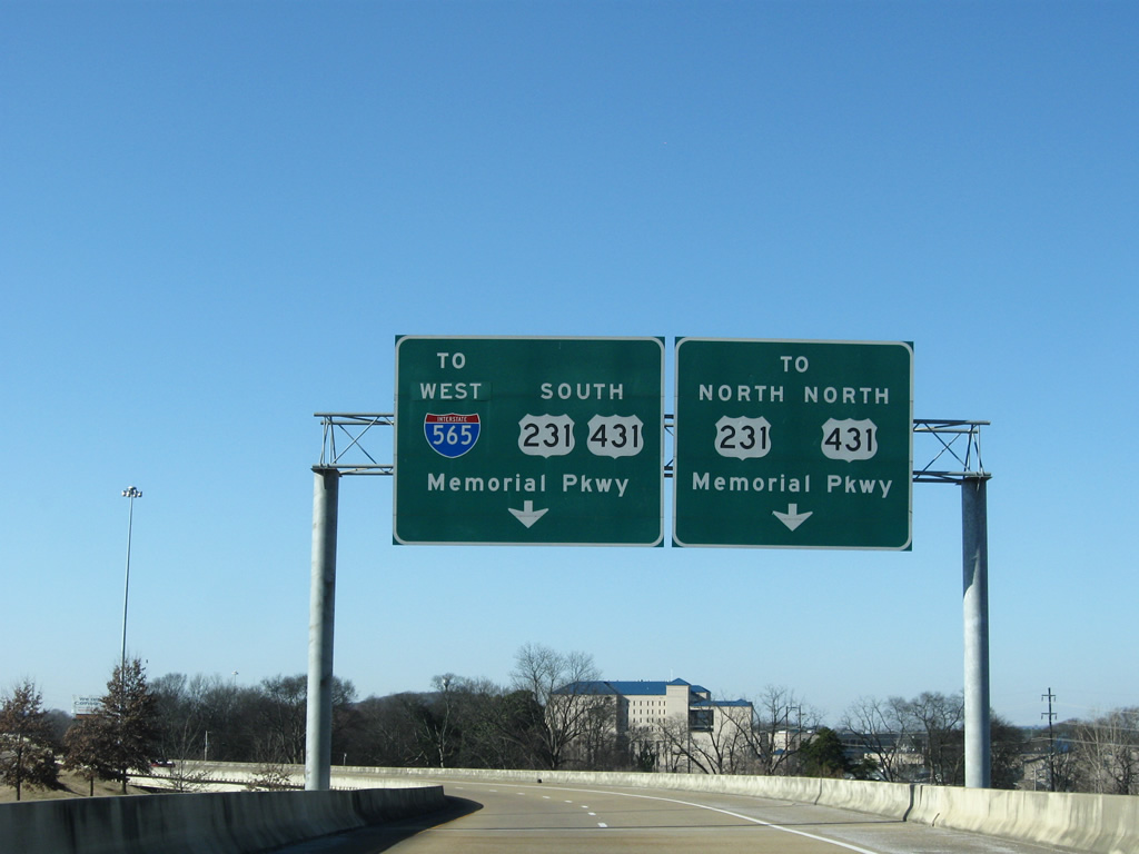
The c/d roadway expands to two lanes and nears the northbound ramp to Memorial Parkway for Alabama A & M University, Normal and Meridianville.
12/28/09
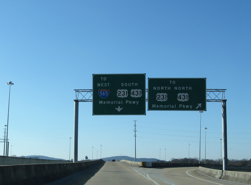
Drivers taking the northbound ramp to U.S. 231 & 431 briefly join the frontage road system ahead of University Drive. A slip ramp provides access to the urban expressway ahead of the merge with U.S. 72 east. Southbound travelers can connect directly with Memorial Parkway south ahead of Clinton Avenue (former SR 20).
12/28/09
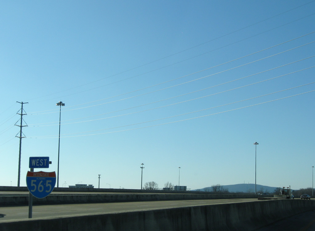
Interstate 565 west expands to three lanes from the Washington Street on-ramp.
12/28/09
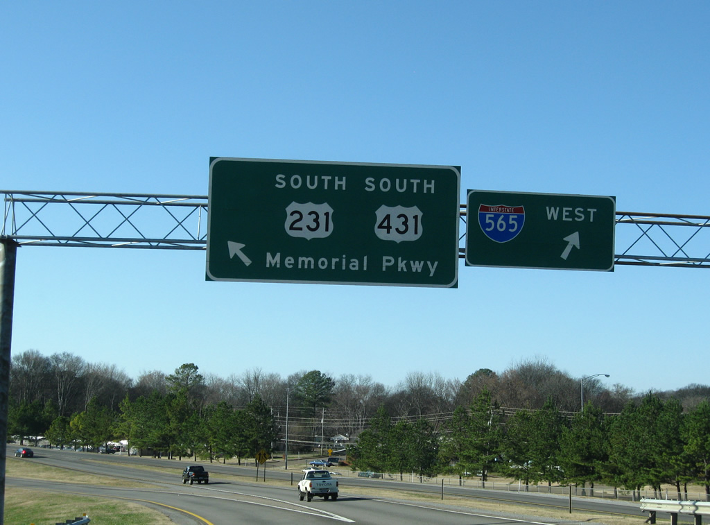
A loop ramp ties into the c/d roadway from Memorial Parkway north, necessitating return access to Interstate 565 west. U.S. 231 & 431 otherwise continue south 1.5 miles to their split at Governor Drive. U.S. 231 leaves Huntsville for Arab and Oneonta while U.S. 431 angles southeast to Guntersville, Gadsden and Anniston.
12/28/09
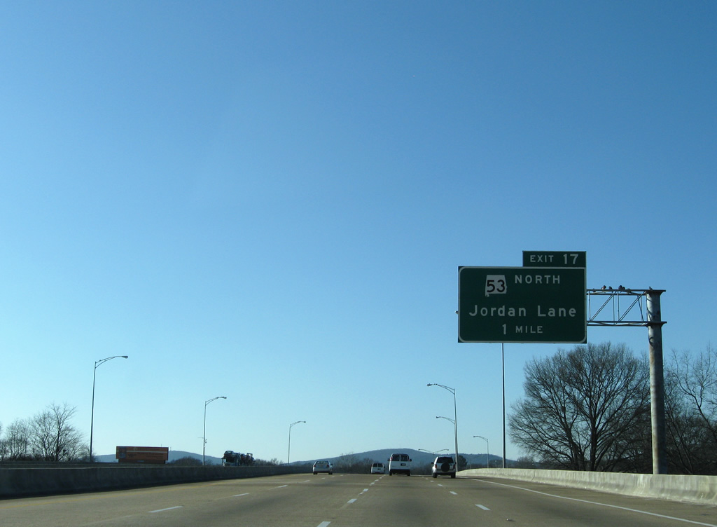
Interstate 565 & U.S. 72 Alternate balloon to eight overall lanes along the viaduct above Holmes Avenue (historic U.S. 72). The freeway continues one mile to a modified diamond interchange with SR 53 (Jordan Lane).
12/28/09
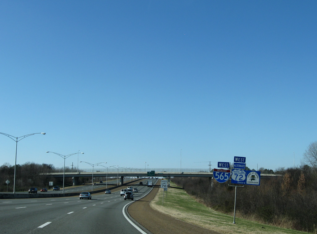
The viaduct touches down after Broglan Branch. Speed limits increase to 70 mph as drivers see another set of Interstate 565, U.S. 72 Alternate, and Trail of Tears Corridor shields.
12/28/09
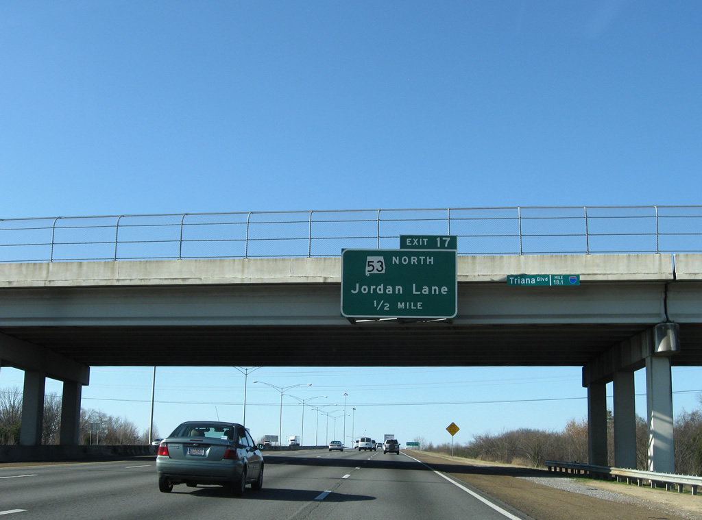
SR 53 travels the length of the state from the Florida state line at Grangeburg to Ardmore on the Tennessee state line. However with that stated, much of the route is unsigned, sharing pavement with U.S. 231 from Dothan to Huntsville. The state route emerges from obscurity at Memorial Parkway and Governors Drive, using Governors Drive (former SR 20) west to Exit 17 and Jordan Lane north.
12/28/09
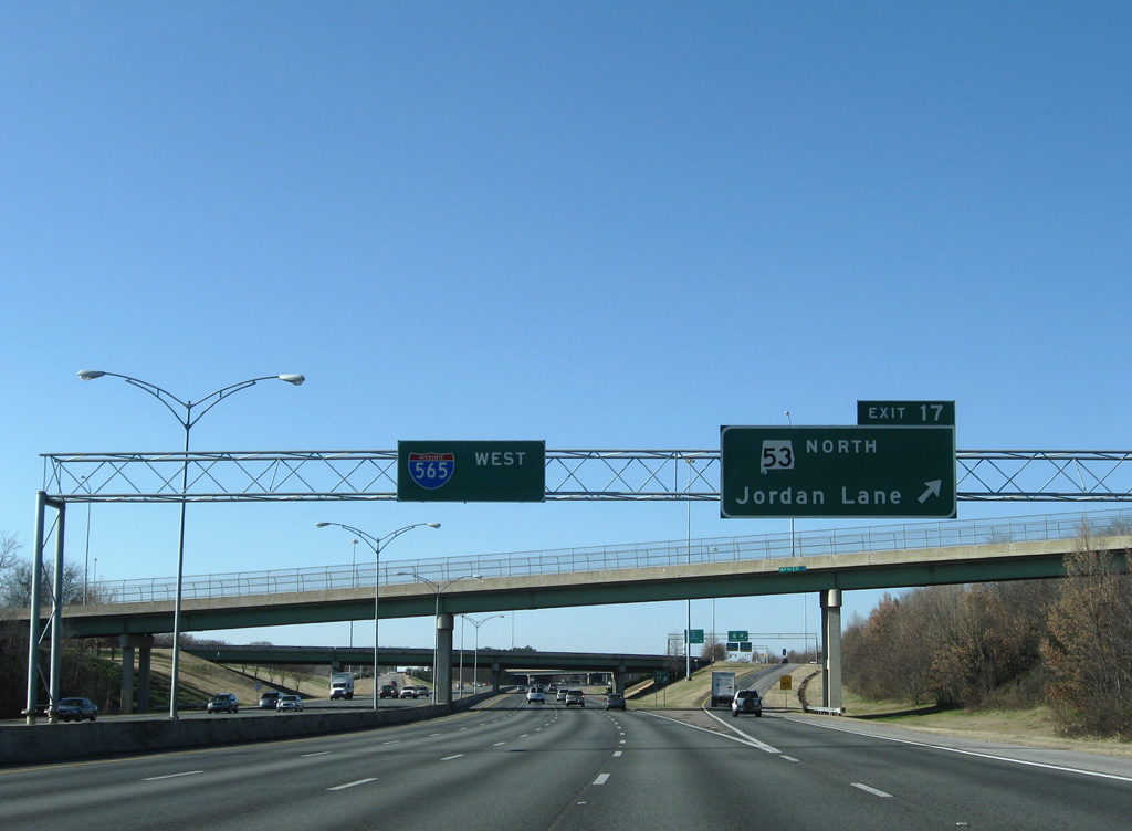
A wye interchange combines SR 53 north from Governors Drive with Exit 17 ahead of the turn onto Jordan Lane north. Jordan Lane leads south to Patton Road and Huntsville Botanical Gardens. The state route otherwise angles northwest from U.S. 72 (University Drive) and Brandontown to Ardmore and Interstate 65 (Exit 365).
12/28/09
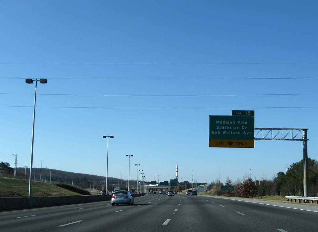
Interstate 565 & U.S. 72 Alternate quickly approach the Exit 15 split diamond interchange with Sparkman Drive north, Bob Wallace Avenue east, Old Madison Pike west and the Space and Rocket Center.
12/28/09

Bob Wallace Avenue heads west from Memorial Parkway and West Huntsville to become Sparkman Drive north to the University of Alabama in Huntsville campus. Old Madison Pike represents the original alignment of SR 20 west to Madison. The road exists as an arterial nowadays, connecting the freeway with the mixed-use development Bridge Street Towne Center to the west and the Space and Rocket Center to the south.
03/21/16
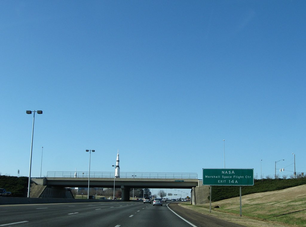
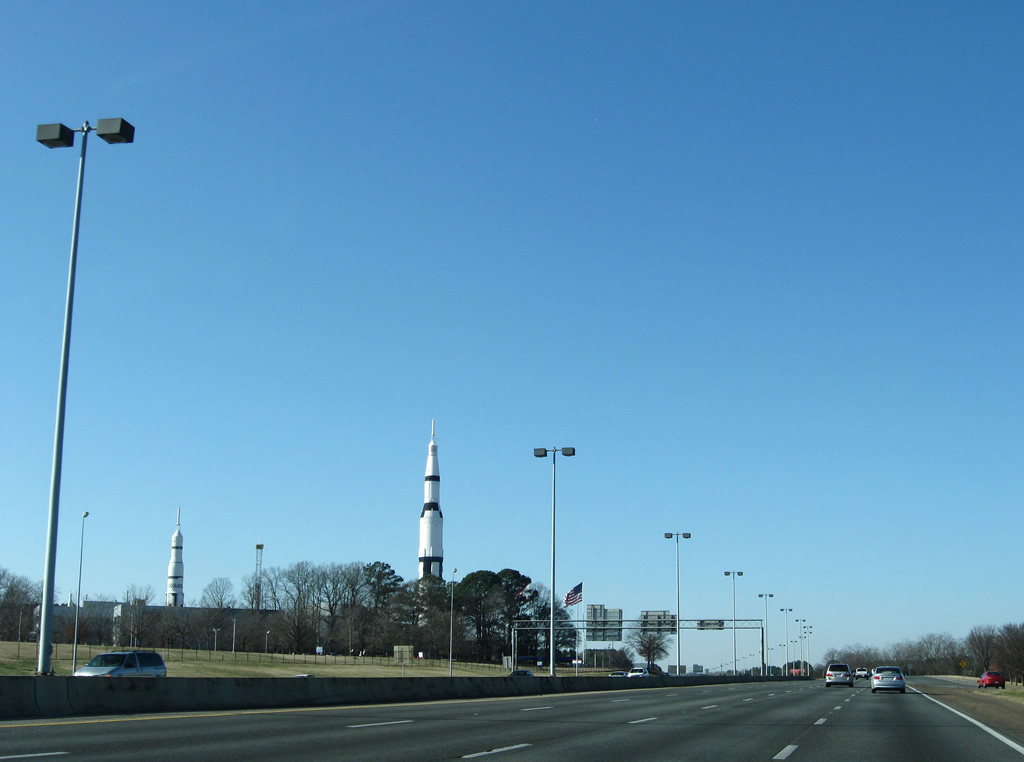
Interstate 565 flanks the northern reaches of the NASA Marshall Space Flight Center, Exit 14A provides direct access to the facility via Rideout Road south. Rockets rise from the U.S. Space and Rocket Center (accessible via Exit 15) south of the freeway as a tribute to space exploration.
12/28/09
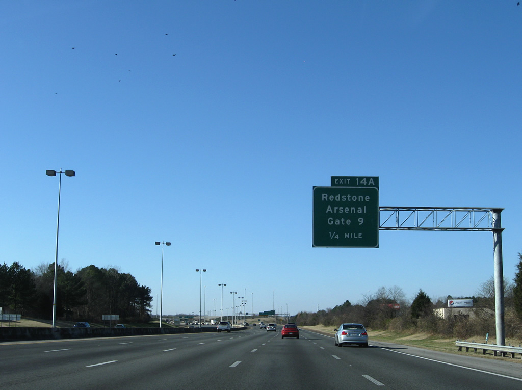
Rideout Road continues Research Park Boulevard (SR 255) south of Exit 14 to Gate 9 of the Redstone Arsenal. Rideout Road is restricted to authorized personnel at Goss Road.
12/28/09
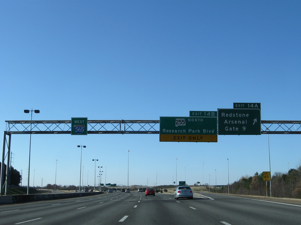
A directional cloverleaf interchange joins Interstate 565 & U.S. 72 Alternate with SR 255 (Research Park Boulevard) north and Rideout Road south adjacent to a Norfolk-Southern Railroad line. SR 255 continues Rideout Road as four lane freeway north to Dan Tibbs Road.
12/28/09
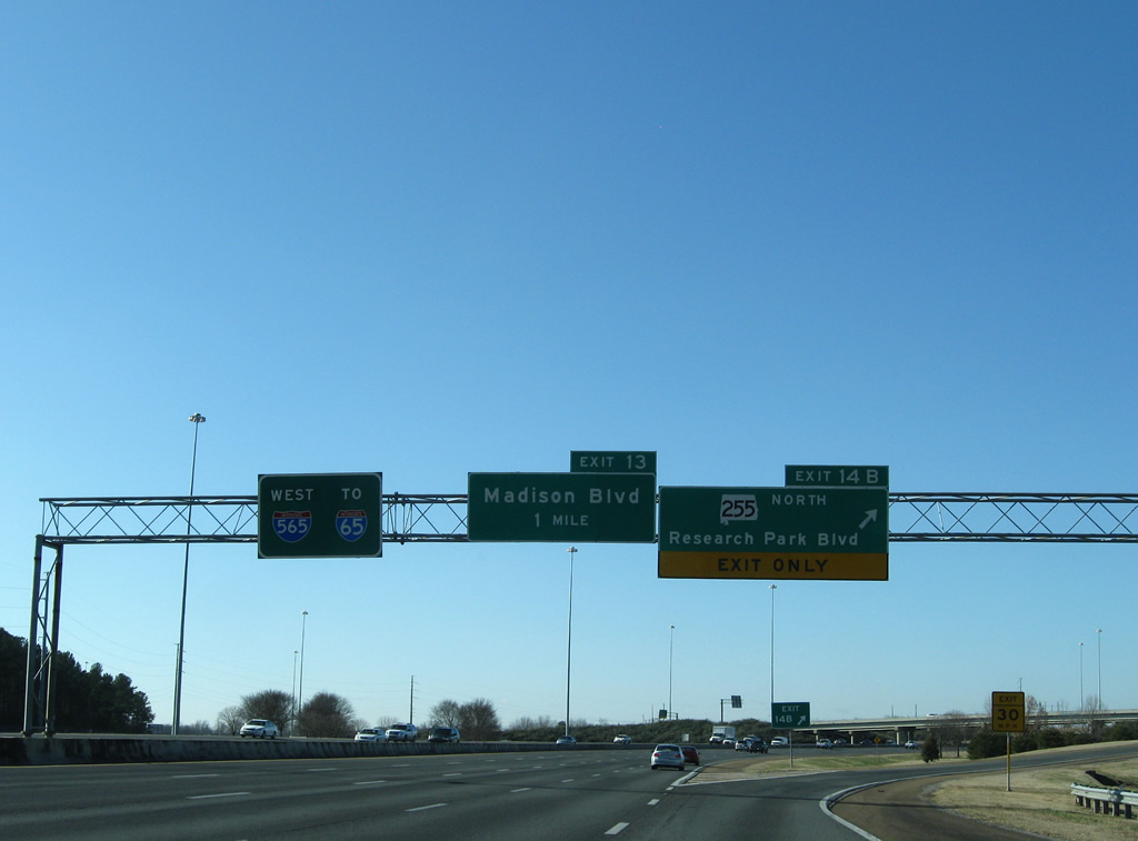
Exit 14B shuttles drivers onto the northbound beginning of SR 255 (Research Park Boulevard). The north-south freeway bisects Cummings Research Park, for which it is named. Originally connecting the Redstone Arsenal with U.S. 72 in 1968, extensions followed north to SR 53 in 1996 and Bob Wade Lane in 2005.1 Portions north of Dan Tibbs Road consist of separate roadways with a wide median for a later upgrade to limited access standards.
12/28/09
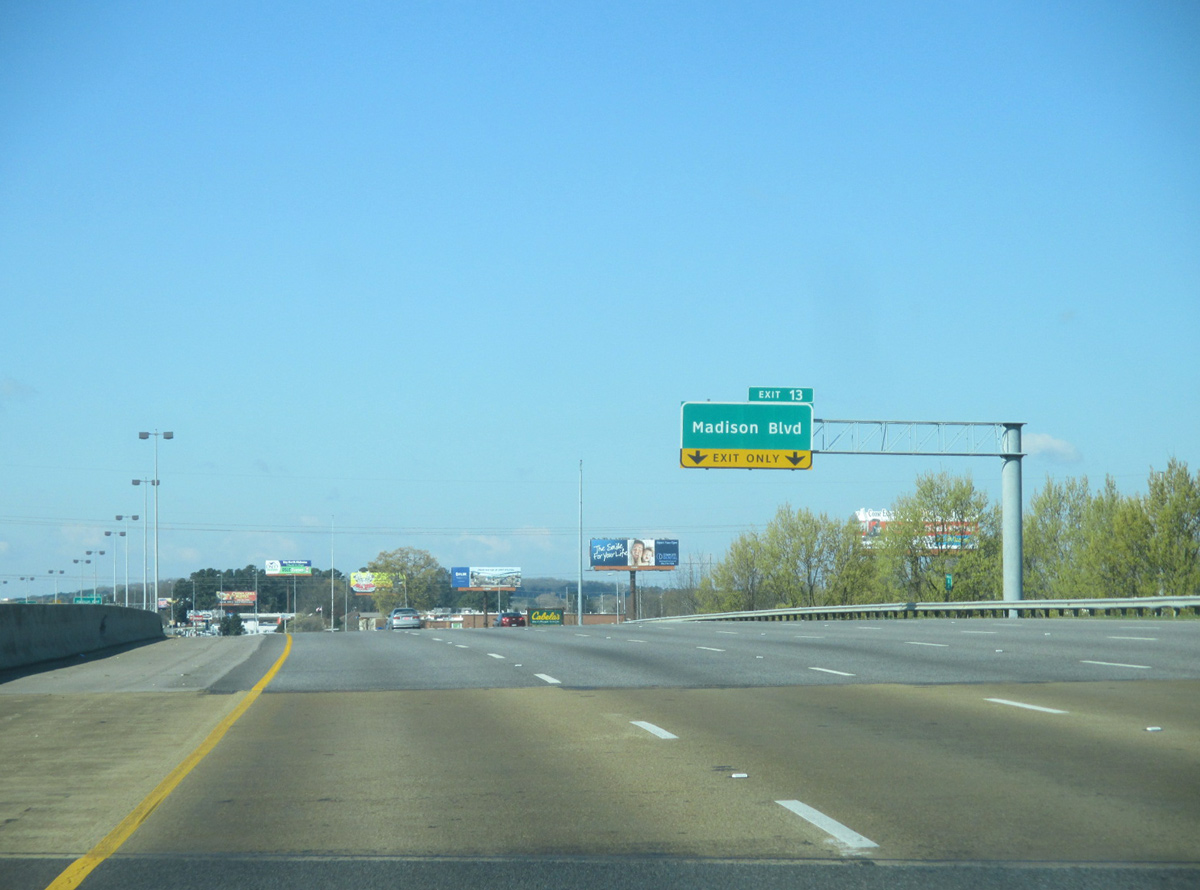
Interstate 565 & U.S. 72 Alternate west briefly swell to six lanes from SR 255 west to Exit 13 (Madison Boulevard). Madison Boulevard (old SR 20 & U.S. 72 Alternate) begins and parallels the freeway west to just beyond the Madison County line at Exit 5.
Signs for Exit 13 were replaced with Clearview font based panels by 2013.
03/21/16
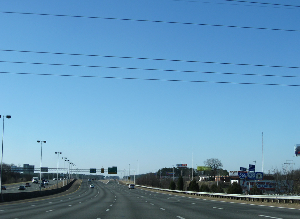
The freeway continues to line the northern boundary of Redstone Arsenal to the Zierdt Road under pass and Madison city line.
12/28/09
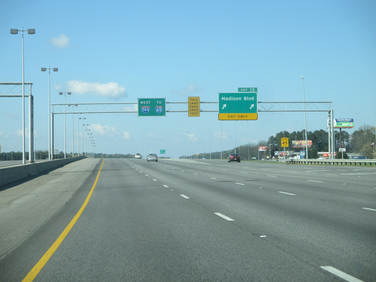
A wye interchange takes two lanes of Interstate 565 west onto Madison Boulevard. Madison Boulevard overtakes Governors Drive and generally serves as an industrial arterial.
03/21/16
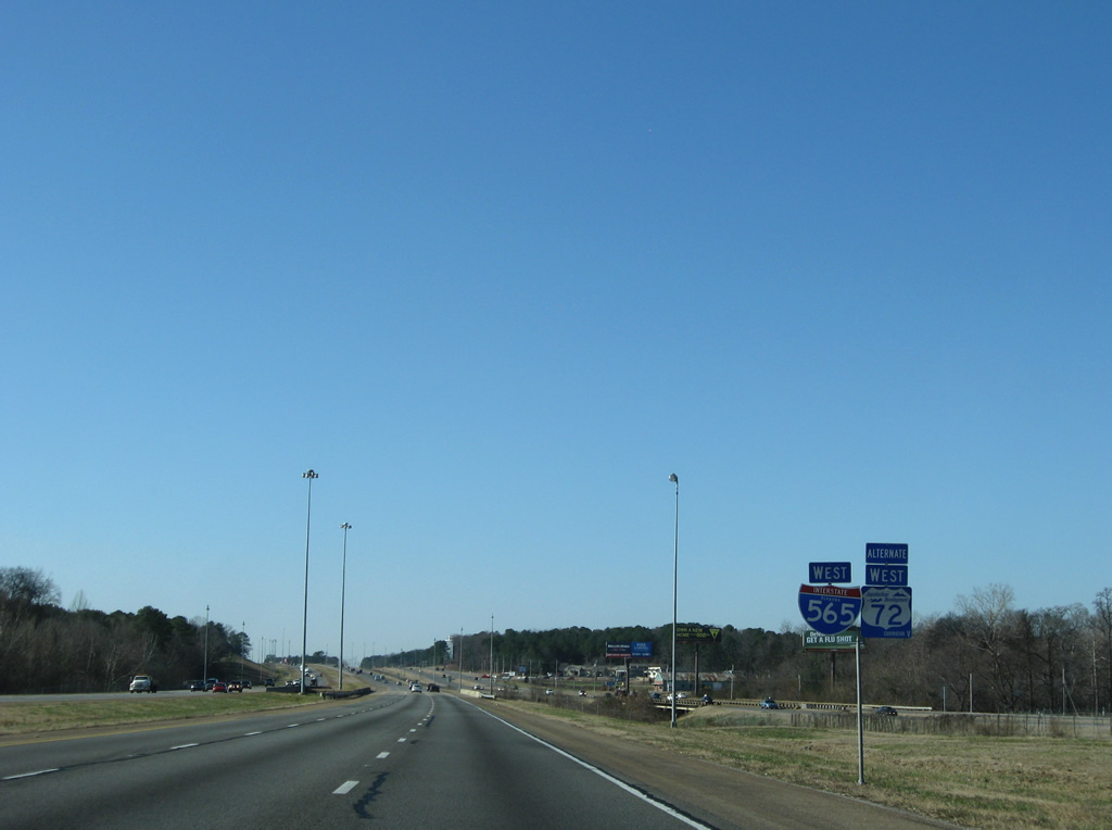
Interstate 565 & U.S. 72 Alternate span Indian Creek and continue alongside Madison Boulevard (former SR 20).
12/28/09
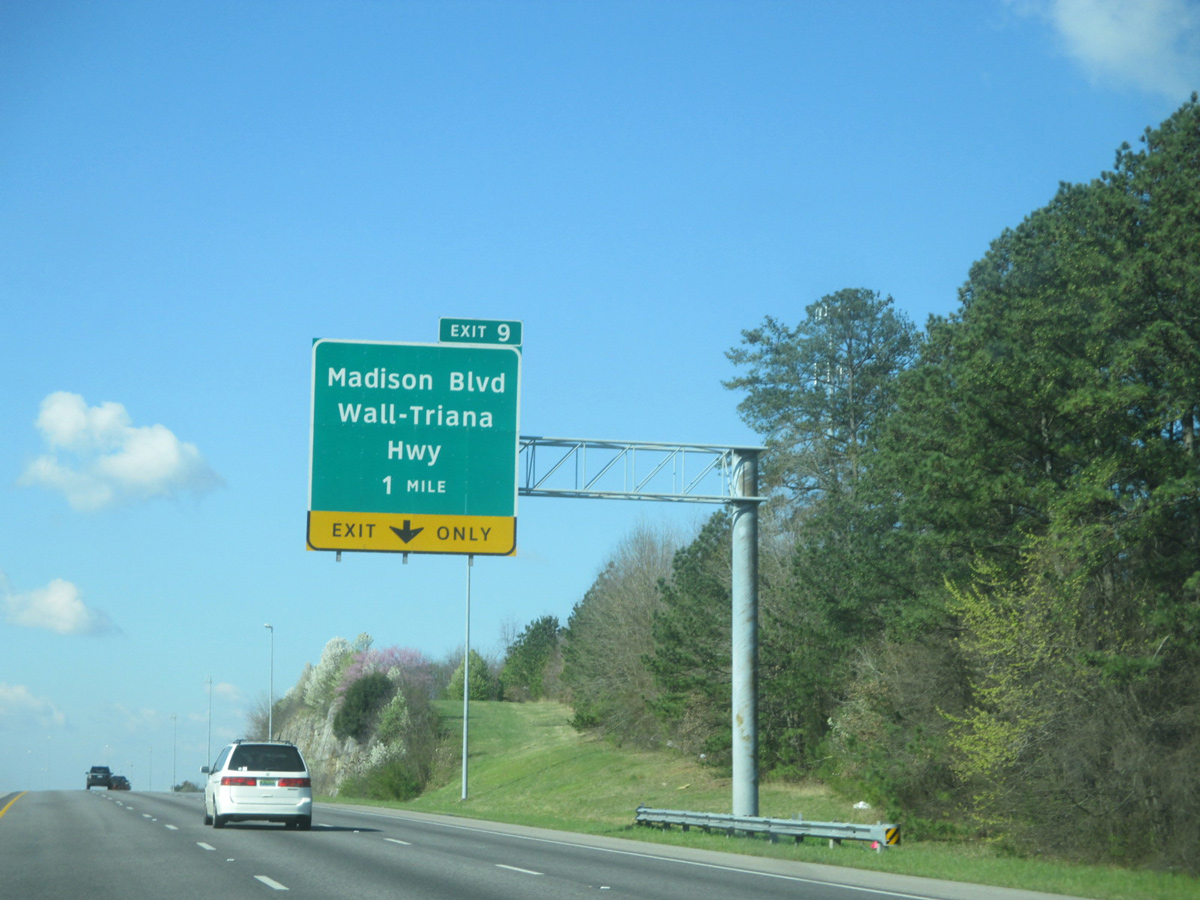
One mile east of the parclo interchange (Exit 9) with Wall-Triana Highway at Betts Mountain. This exit, and the exit for the airport, were renumbered in 2013 as construction was underway to build the new County Line Road off-ramp (Exit 7).
03/21/16
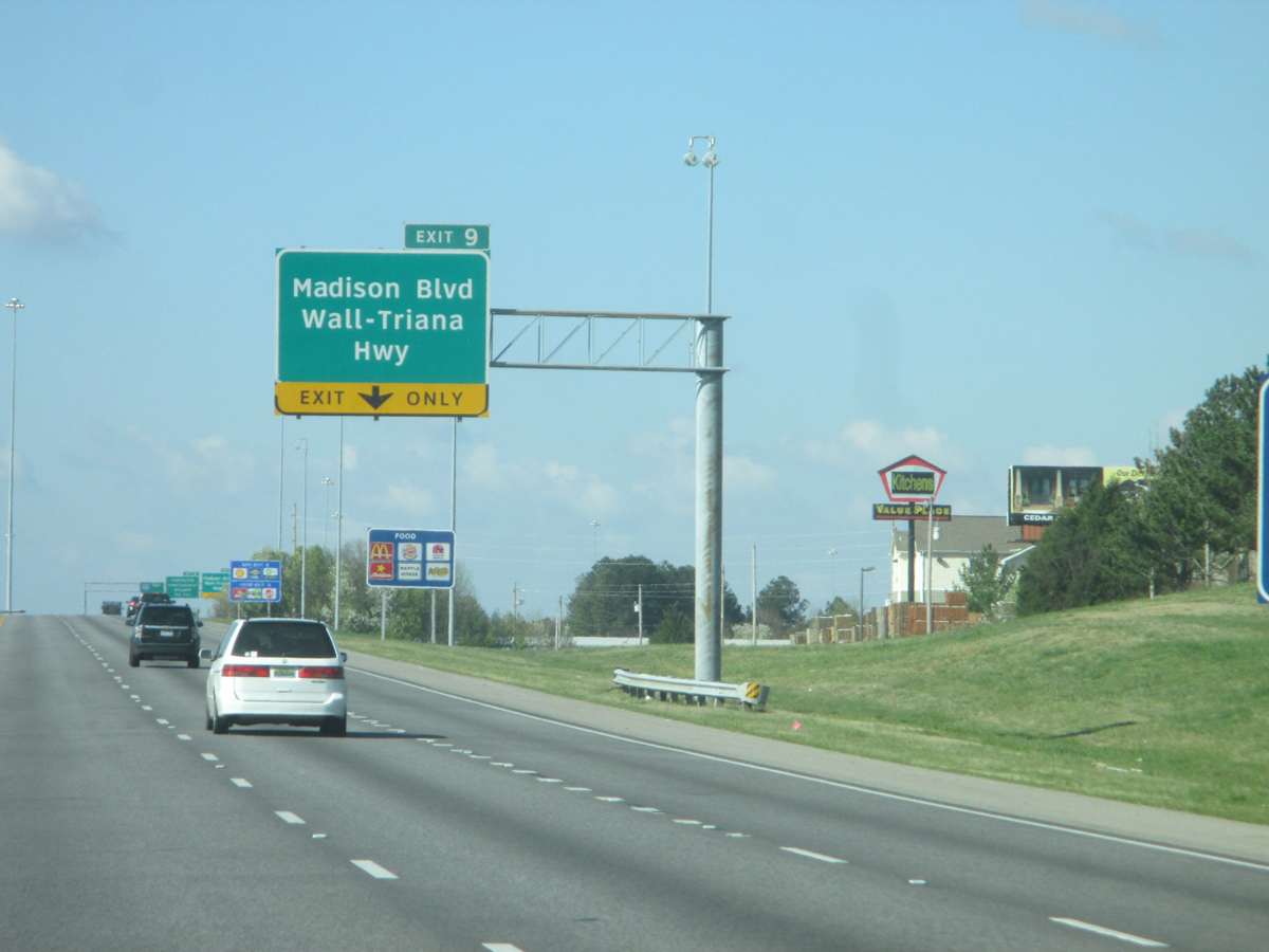
A lane drop occurs at Exit 9 for the ramps to Wall-Triana Highway south to Triana and north to central Madison.
03/21/16
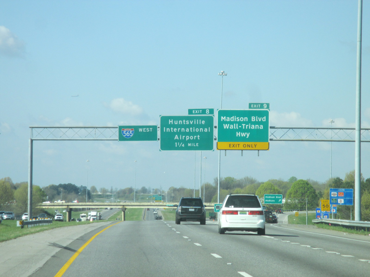
Westbound at the off-ramp (Exit 9) to Wall-Triana Highway. Exit 8 follows to Huntsville International Airport (HSV). Wall-Triana Highway south serves eastern reaches of the airport and Jetplex Industrial Park. Northbound directly intersects Madison Boulevard (old SR 20 / U.S. 72 Alternate).
03/21/16
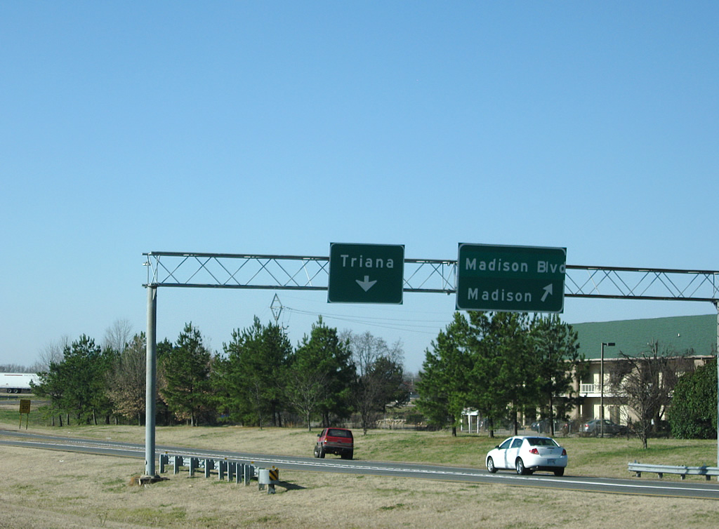
A parting shot of the Exit 9 partition. Wall-Triana Highway travels the length of Madison County from the Tennessee River north to Nebo, Dan and Lincoln County, Tennessee.
12/28/09
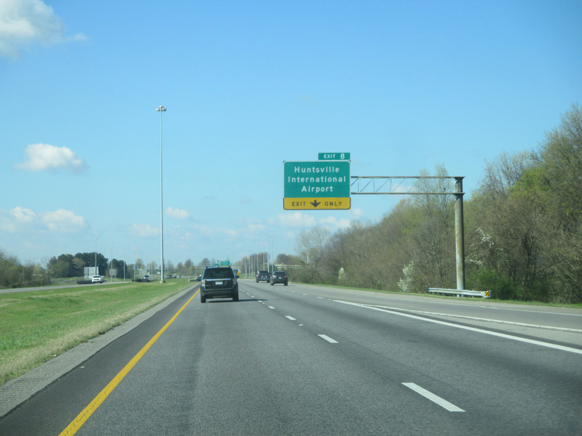
Glenn Hearn Boulevard spurs south from Madison Boulevard to the passenger terminal of Huntsville International Airport (HSV).
03/21/16
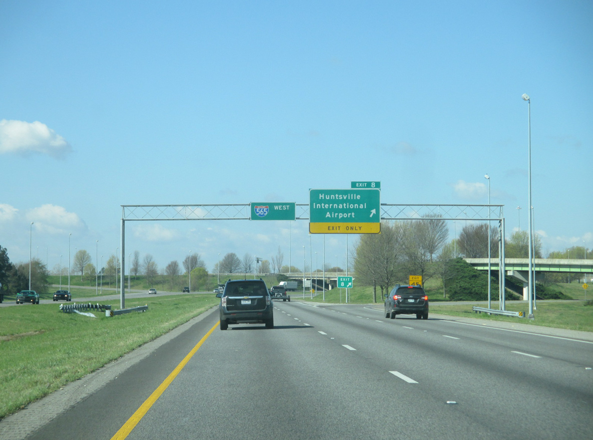
A trumpet interchange (Exit 8) joins Interstate 565 & U.S. 72 Alternate with Glenn Hearn Boulevard southbound into the airport.
03/21/16
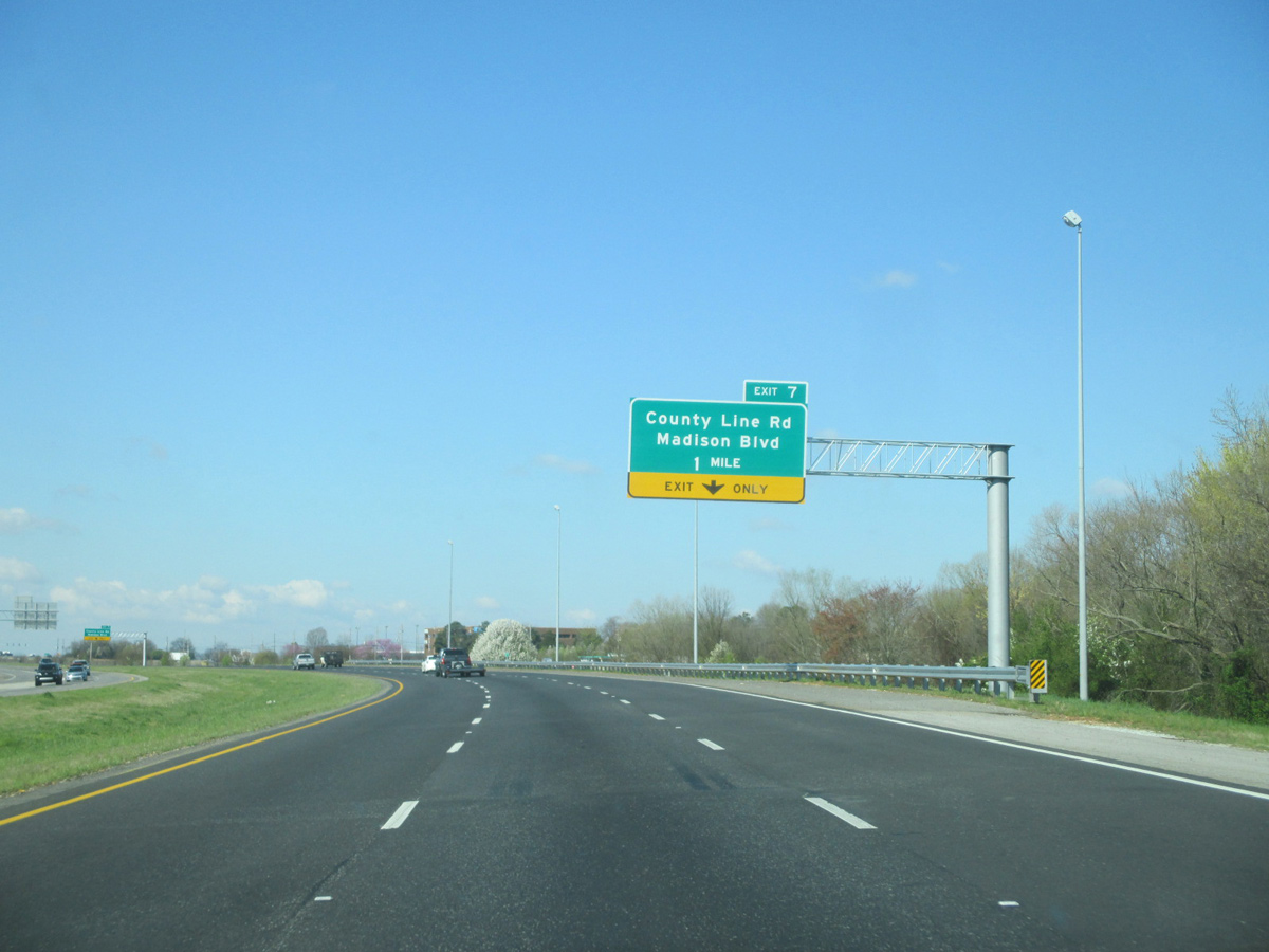
Construction started in December 2013 expanded the previous wye interchange (Exit 7) joining I-565 east with County Line Road to include new loop ramps from I-565 west and to I-565 east.
03/21/16
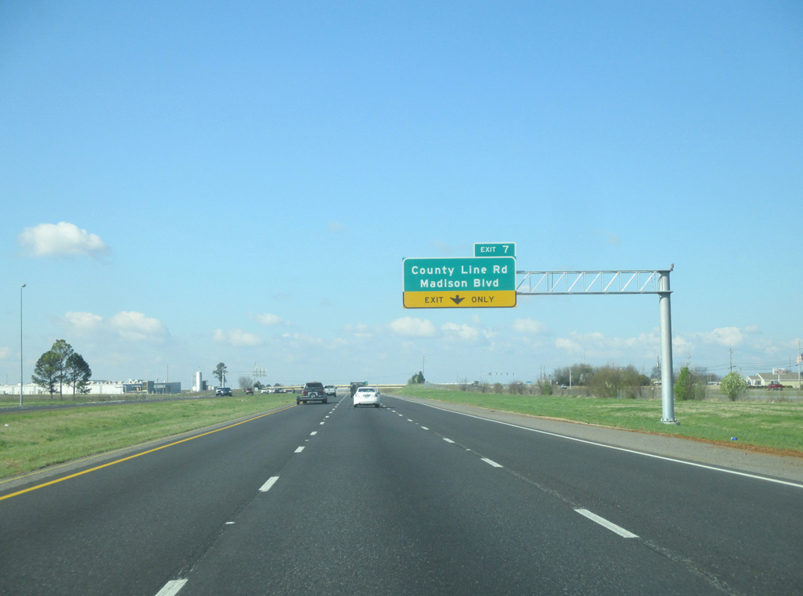
County Line Road lines western reaches of Huntsville International Airport (HSV) south to agricultural areas north of the Tennessee River.
03/21/16
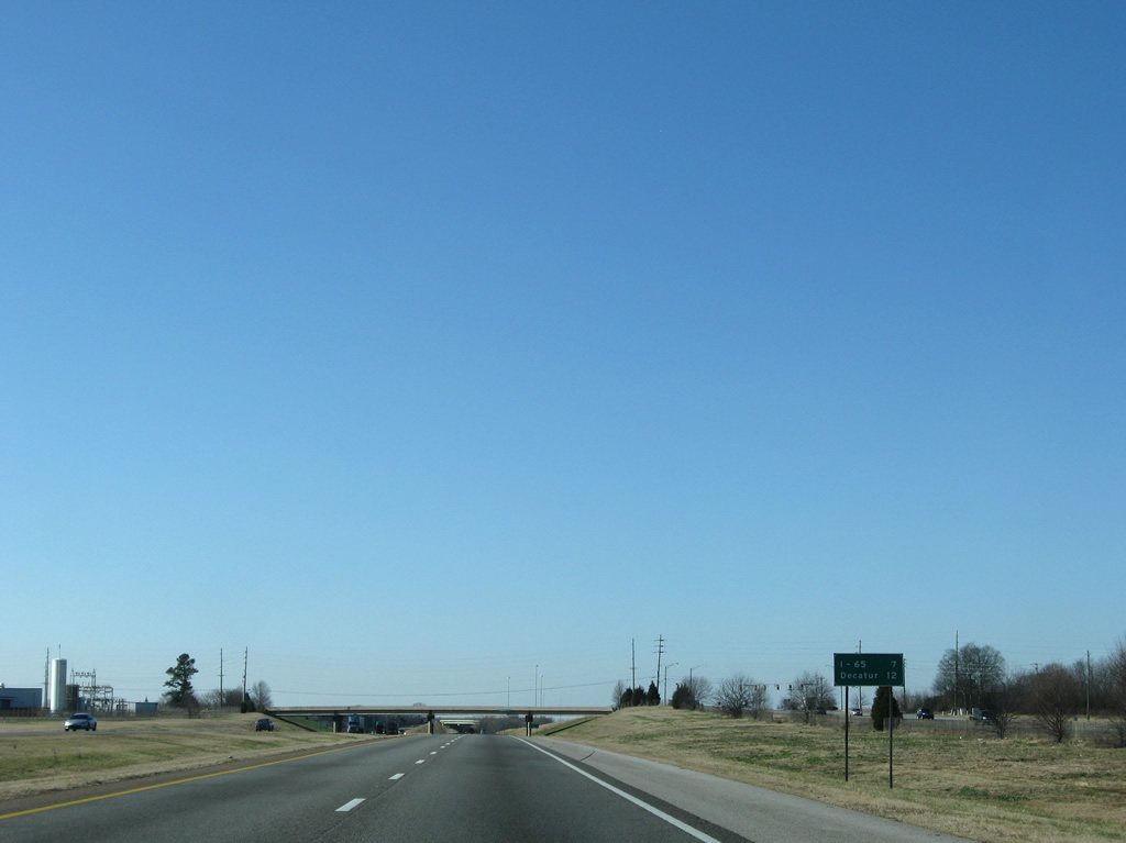
What was the first westbound distance sign of Interstate 565, posted seven miles east of Interstate 65. This assembly was removed during construction to add a third westbound lane to Exit 7 in 2015.
12/28/09
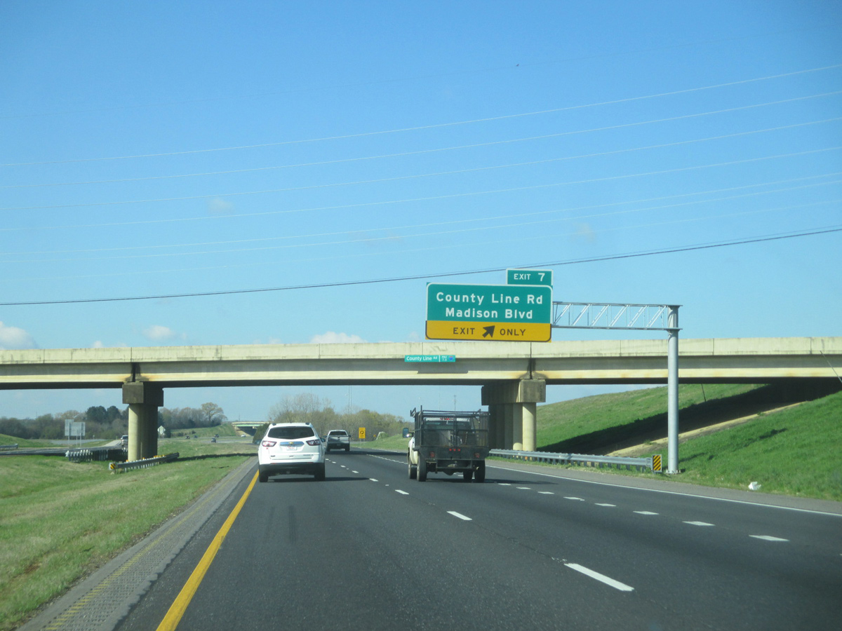
Madison Boulevard stems east from the ramp end of Exit 7 and County Line Road. County Line Road north serves a number of subdivisions north from Interstate 565 to U.S. 72 through the city of Madison. Exit 7 opened to traffic on the morning of April 10.2
03/21/16
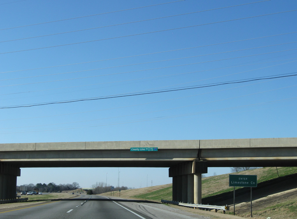
Entering Limestone County at the County Line Road overpass on Interstate 565 & U.S. 72 Alternate west.
12/28/09
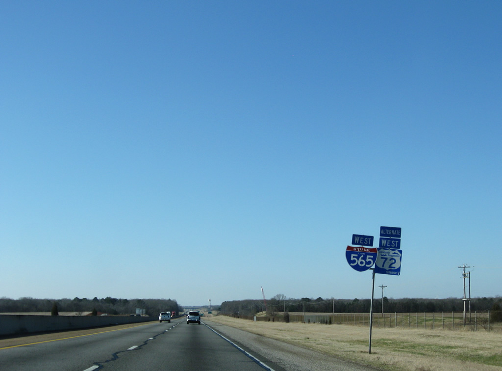
Madison Boulevard (old SR 20) merges back onto Interstate 565 & U.S. 72 Alternate west via a wye interchange (Exit 5). A local frontage road (old SR 20) continues along the westbound side to Exit 3.
12/28/09
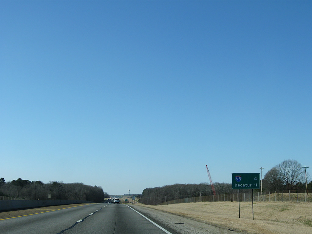
Now four miles east of the Interstate 565 junction with Interstate 65 and 11 miles out from the county seat of Decatur.
12/28/09
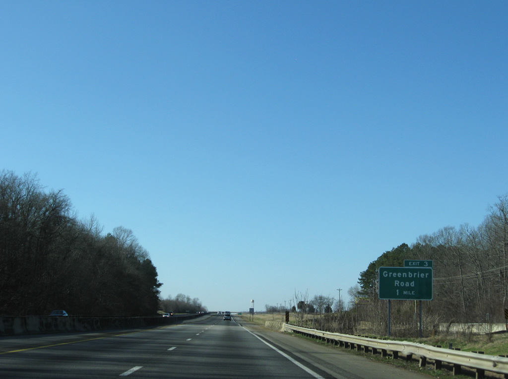
Interstate 565 crosses Wheeler National Wildlife Refuge at Beaverdam Swamp on the one mile approach to Exit 3 (Greenbrier Road).
12/28/09
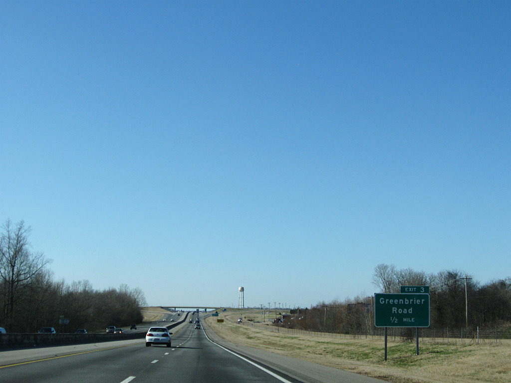
Greenbrier Road (Limestone County 115) leads south from Interstate 565 (Exit 3) to Wheeler Lake and north to Greenbrier.
12/28/09
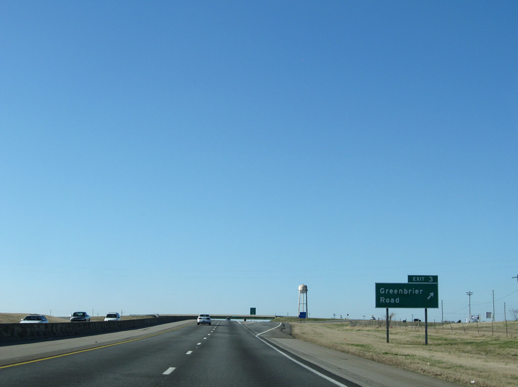
Westbound at the diamond interchange (Exit 3) with Limestone County 115. Frontage roads line both sides of the freeway Greenbrier Road west to Mooresville.
12/28/09
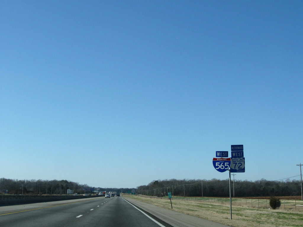
Continuing southwest along Interstate 565 & U.S. 72 Alternate toward Mooresville.
12/28/09
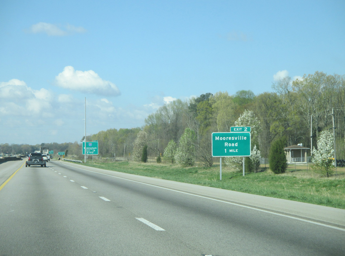
Mooresville Road stems north from Old Highway 20 and Mooresville to meet Interstate 565 at a diamond interchange (Exit 2).
03/21/16
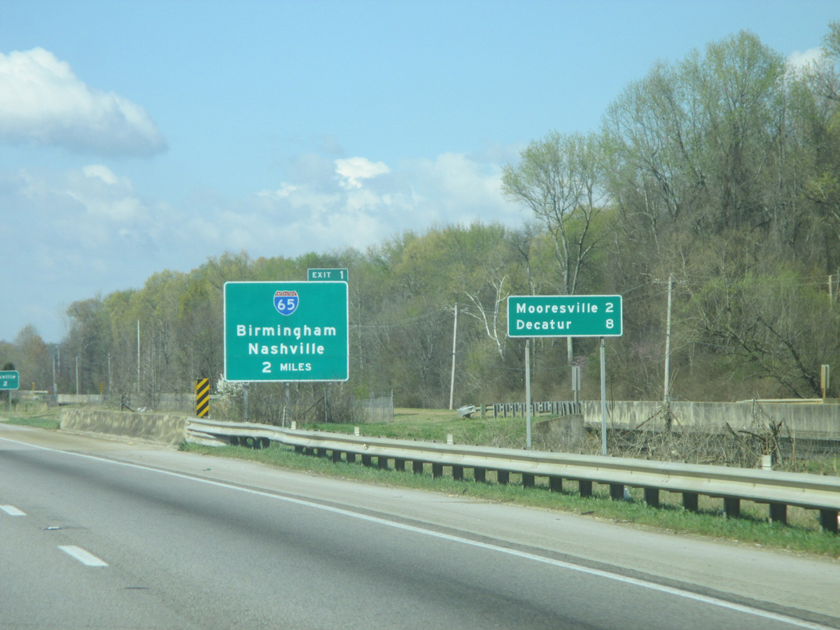
The final distance sign of the Huntsville freeway spur lists Mooresville and Decatur at the crossing of Limestone Slough.
03/21/16
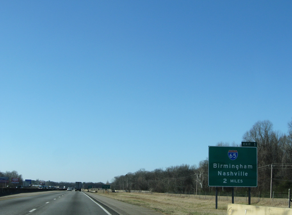
Interstate 65 crosses paths with Interstate 565 in two miles at a directional cloverleaf interchange (Exits 1).
12/28/09
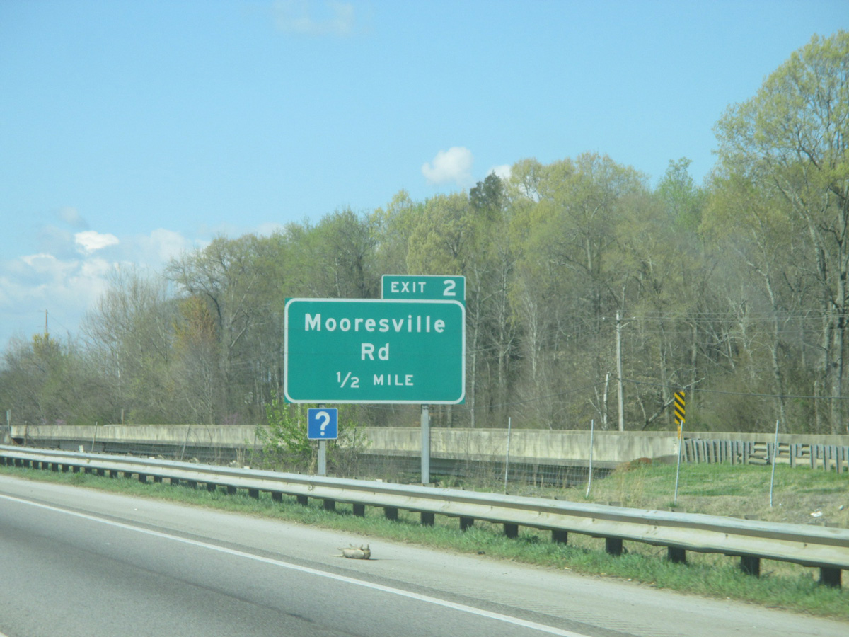
Spanning Limestone Creek on Interstate 565 west, one half mile east of the Exit 2 off-ramp to Mooresville Road (Limestone County 71). County Road 71 travels north to SR 53 outside Ardmore and locally to Bella Mina.
03/21/16
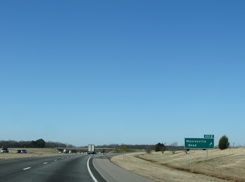
Exit 2 leaves Interstate 565 & U.S. 72 Alternate west for Limestone County 71 (Mooresville Road). The westbound side frontage road ends; Old Highway 20 (eastbound side frontage road) continues west to Wheeler National Wildlife Refuge from Mooresville and is otherwise disconnected from SR 20 west of Interstate 65.
12/28/09
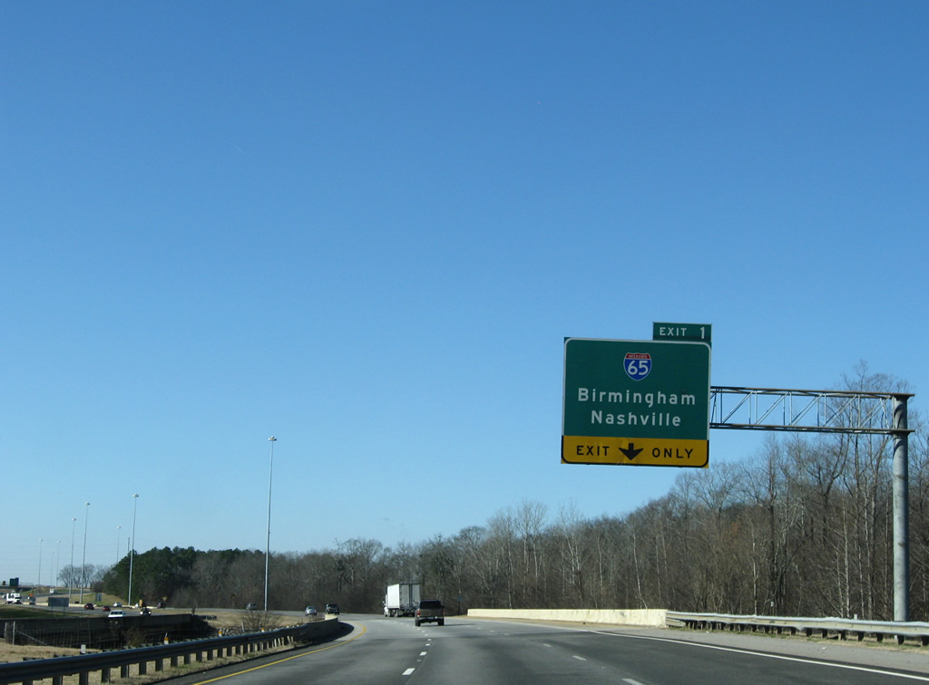
The Mooresville bypass opened in 1990 and leads Interstate 565 directly to Interstate 65 (Exit 1). All traffic to the north-south freeway departs in unison beyond Piney Creek.
12/28/09
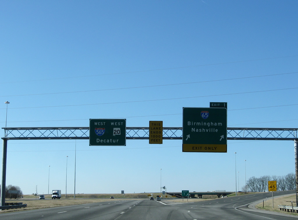
A two lane off-ramp leaves Interstate 565 & U.S. 72 Alternate for Interstate 65 north to Athens and Nashville and south to Cullman and Birmingham.
12/28/09
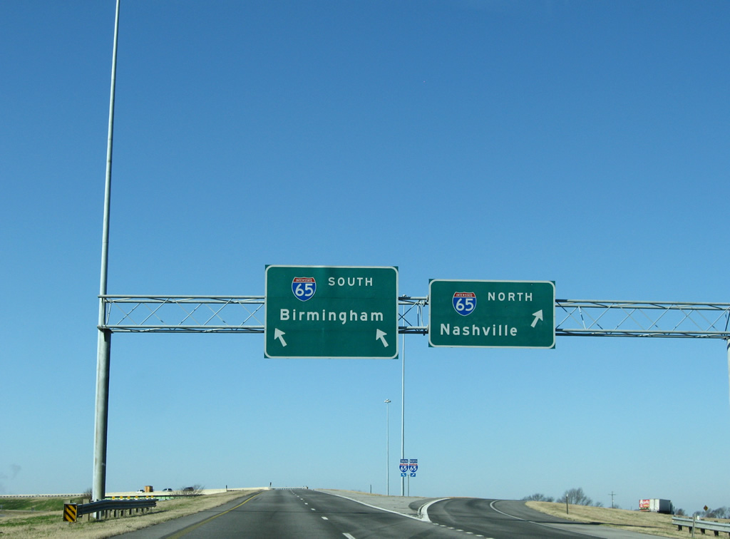
Two lanes shuttle motorists onto Interstate 65 south on the 80 mile drive to Birmingham. Interstate 65 north enters Tennessee near Ardmore in 27 miles.
12/28/09
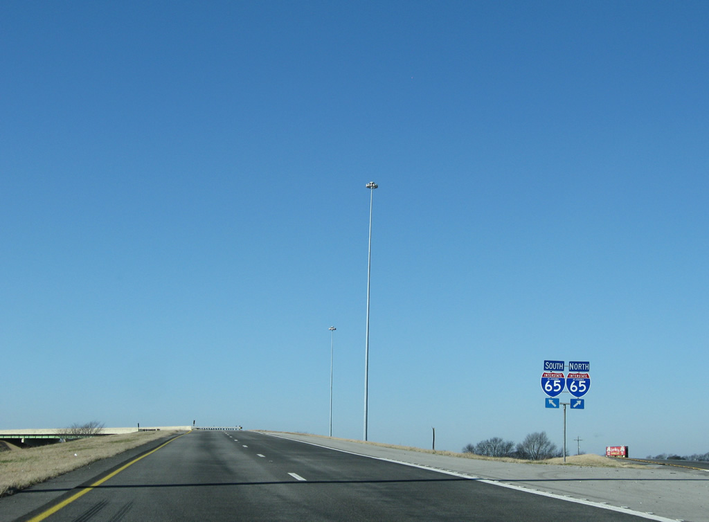
Shield assemblies are often used at ramp partitions between freeway to freeway connections. Interstate 65 reaches Montgomery in 164 miles and Mobile in 335 miles. Nashville is 80 miles to the north.
12/28/09
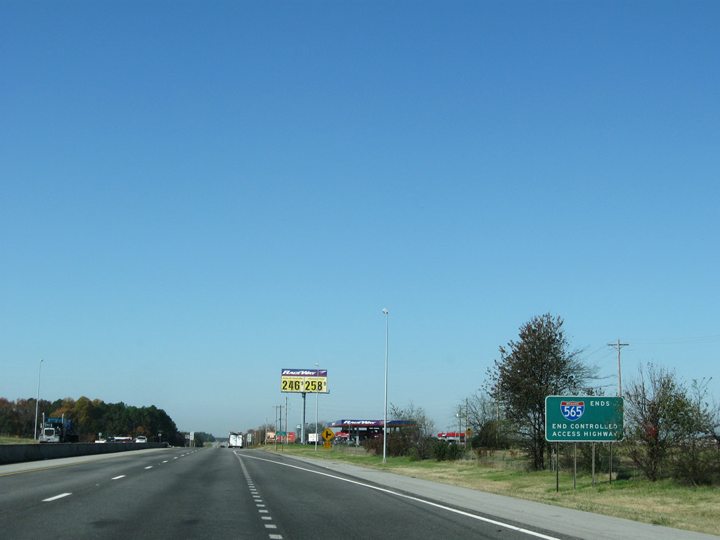
Interstate 565 ends as SR 20 begins and U.S. 72 Alternate continues west along Huntsville-Decatur Highway to U.S. 31 and Decatur. An at-grade intersections with Moonlight Way (old SR 20) and Bibb Garrett Road lie ahead.
11/04/09
References:
- Alabama State Route 255 @ Wikipedia.org.
- "County Line Road interstate exit opening soon." WAAY (Huntsville, AL), March 27, 2015.
Photo Credits:
- Alex Nitzman: 12/28/09
- dxp: 03/21/16
- David Prince: 03/21/16
- ABRoads: 11/04/09
Connect with:


Page Updated Tuesday March 22, 2016.