
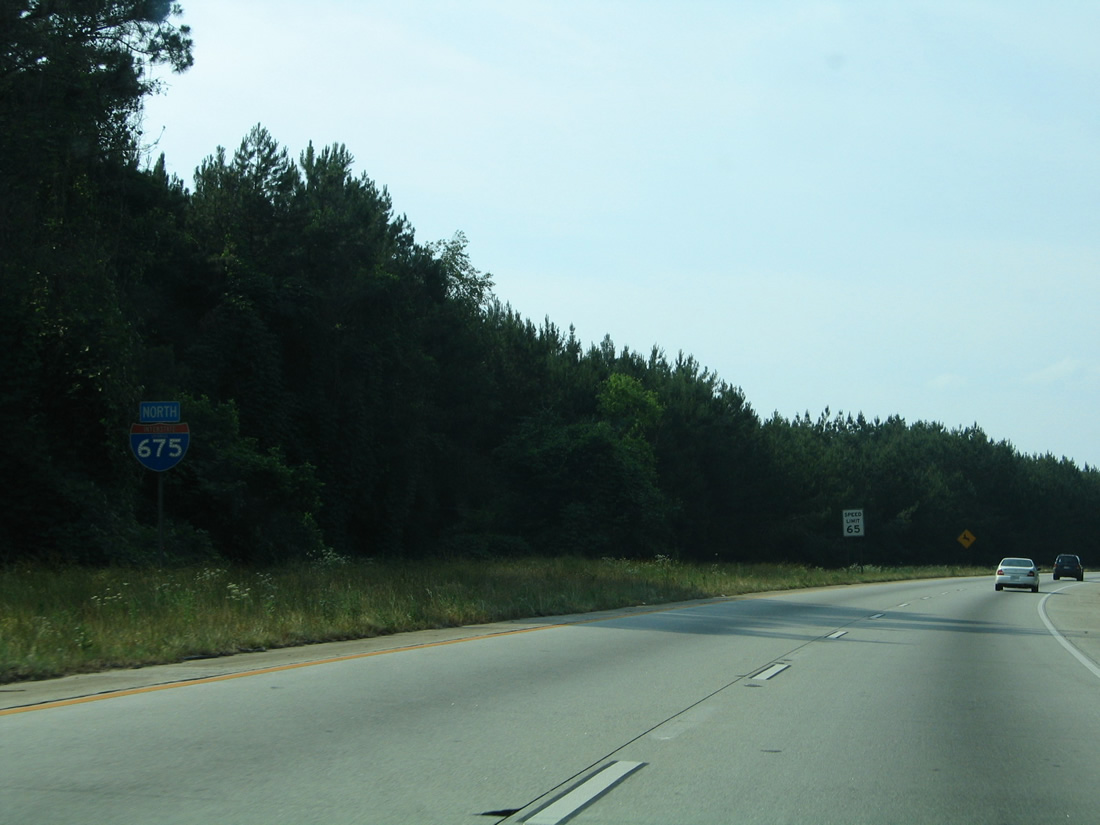
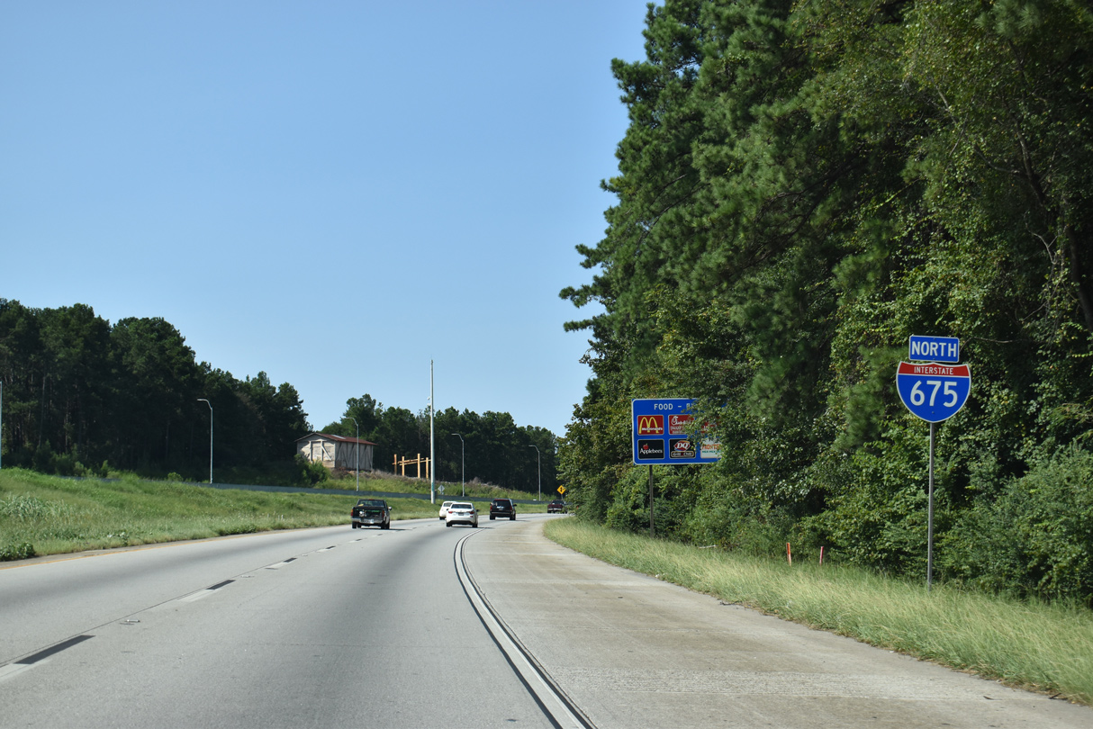
Interstate 675 North

 North
North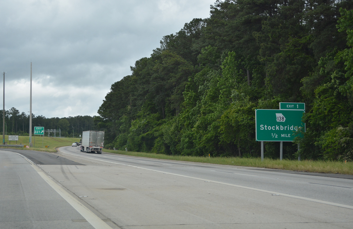
Interstate 675 branches away from I-75 north at a wye interchange at the city of Stockbridge. Meeting the freeway ahead is SR 138 (Stockbridge Highway), a 59 mile long route between U.S. 78/SR 10 at Monroe and SR 92 near Fairburn.
05/06/22
Replaced by July 2012, the first reassurance markers for Interstate 675 included button copy numbering and lined both sides of the freeway.
05/28/05
Construction completed in January 2017 added connections from the I-75 South Metro Express Lanes to Interstate 675.
09/06/20
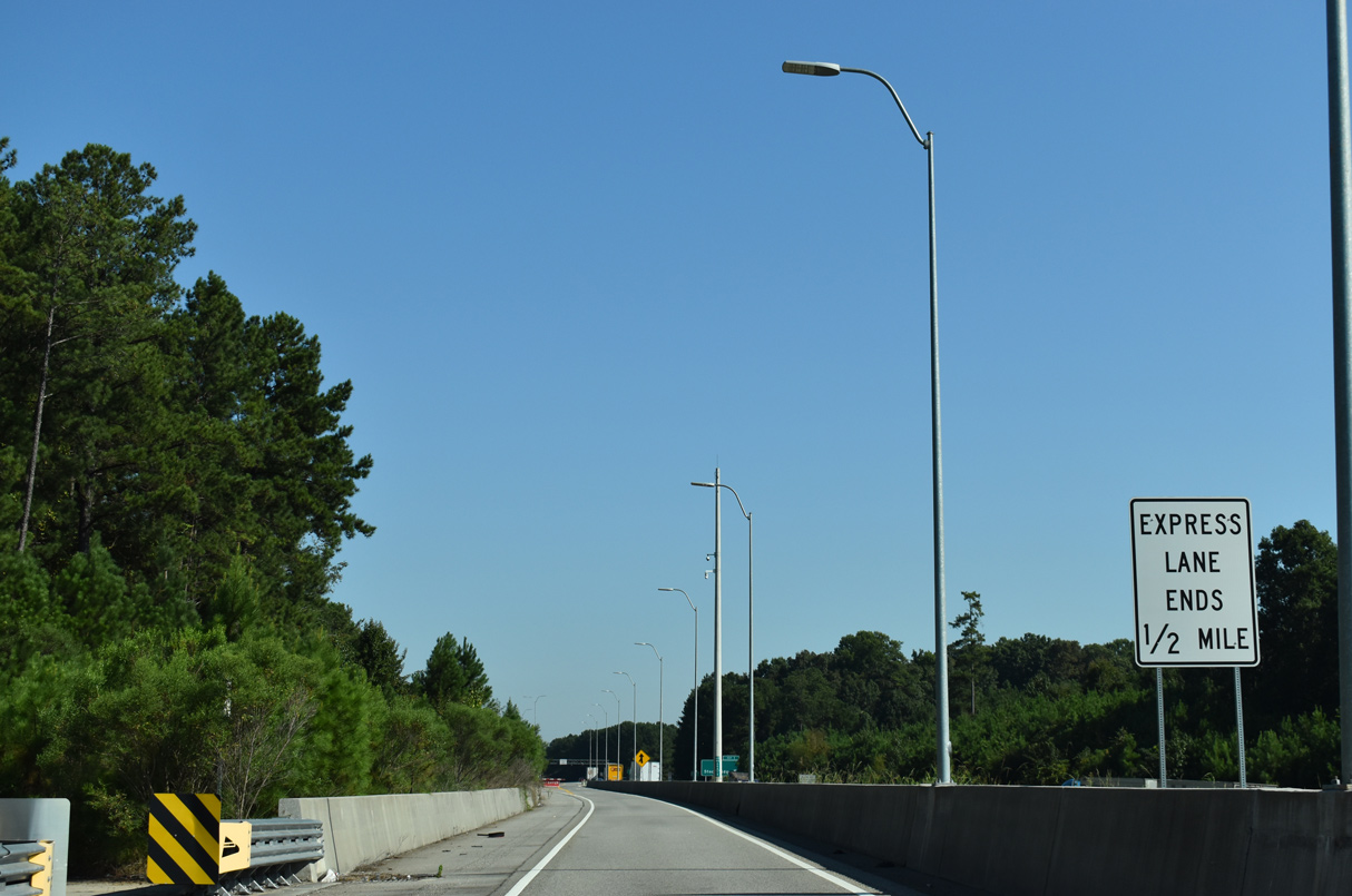
The I-75 South Metro Express Lanes join the Henry County suburbs from McDonough northward with Interstate 675.
09/22/22
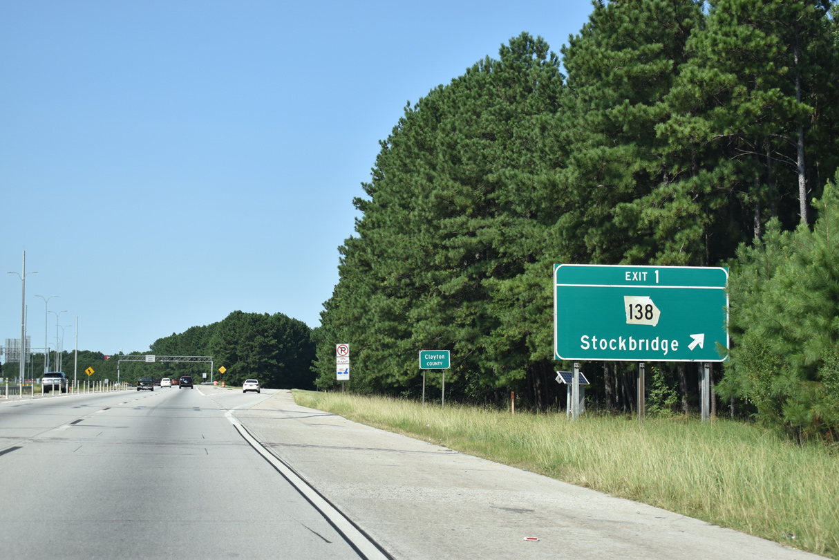
I-675 enters Clayton County at Exit 1 to SR 138 (Stockbridge Road). Stockbridge represents a suburban community in western Henry County along U.S. 23/SR 42 (Henry Boulevard).
09/06/20
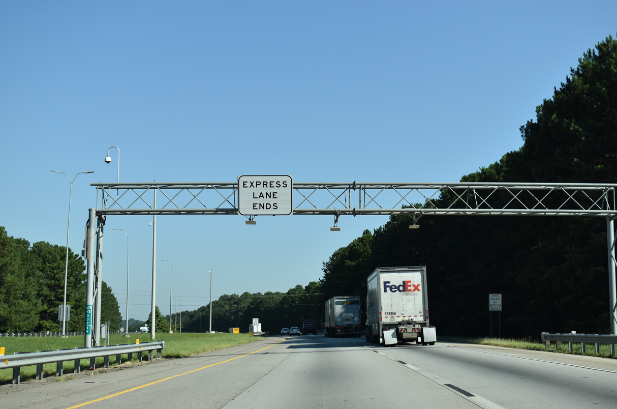
The I-75 South Metro Express Lanes conclude along Interstate 675 northbound ahead of Panther Creek.
09/22/22
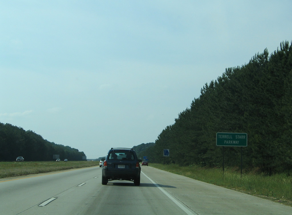
Interstate 675 is designated the Terrell Starr Parkway, named for Georgia State Senator who had a perfect attendance record between 1969 and 1995.4
05/28/05
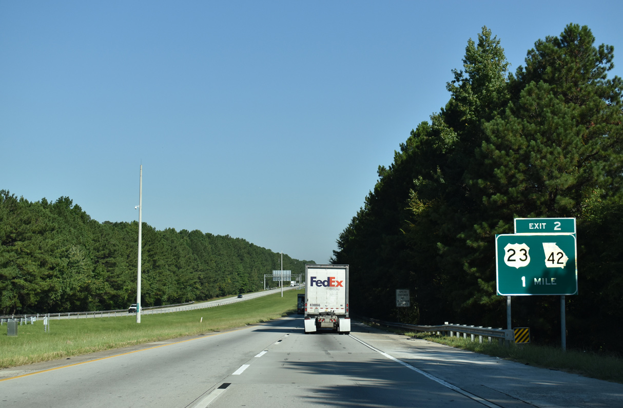
A diamond interchange joins I-675 with U.S. 23/SR 42 (Macon Highway) at Exit 2.
09/22/22
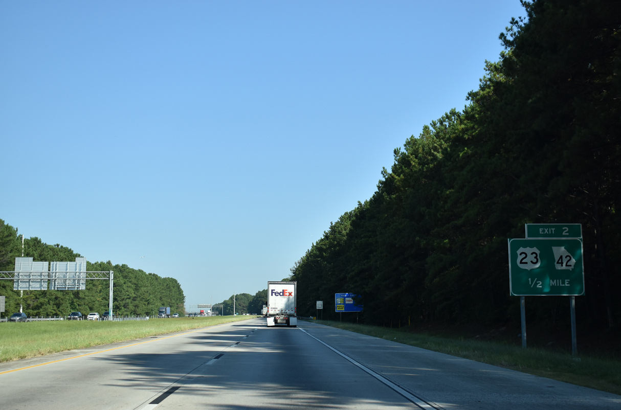
U.S. 23/SR 42 travel northwest from Stockbridge through unincorporated Clayton County suburbs to Fort Gillem.
09/22/22
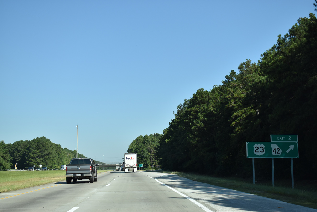
U.S. 23/SR 42 parallel the west side of Interstate 675 north from Exit 2 to I-285.
09/22/22
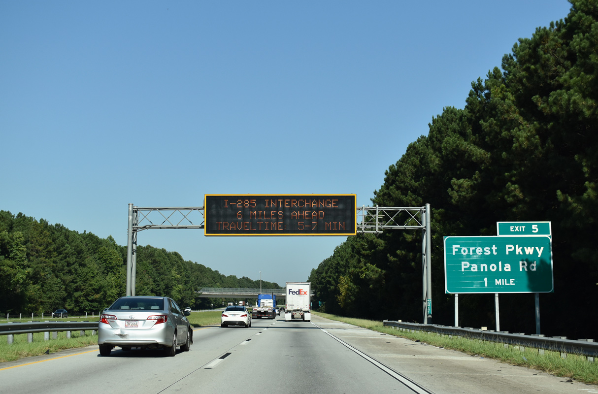
Advancing north beyond the Double Bridge Road overpass, I-675 converges with Forest Parkway west of Ellenwood Road at Exit 5. Forest Parkway is an arterial running west from Panola and Bouldercrest Roads nearby through the cities of Lake City and Forest Park.
09/22/22
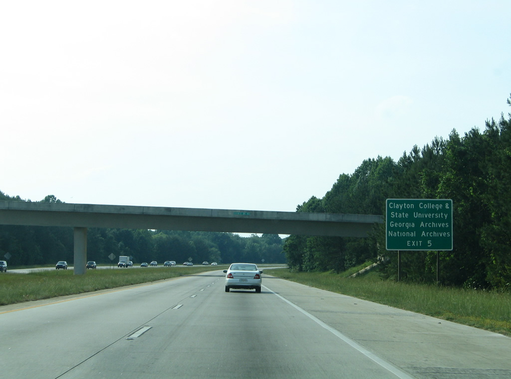
Clayton State University lies southwest of Exit 5. Located just west of the campus is Gateway Village, an economic development that began in 1999. The community houses the Morrow campus of the college, office space, a high tech executive conference center, student housing and an intermodal transportation center. Opened in 2005, the National Archives and Records Administration's Southeastern Archives facility is within Gateway Village.5
05/28/05
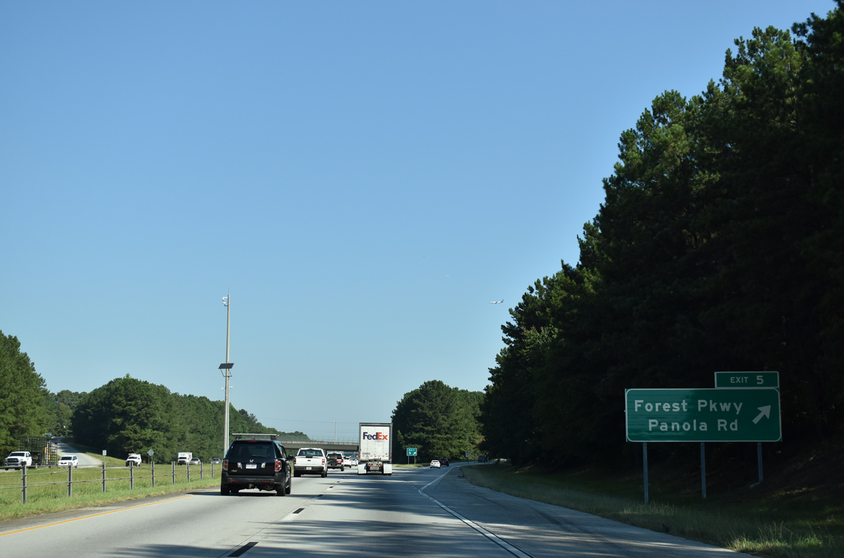
A diamond interchange joins Interstate 675 with Forest Parkway at Exit 5. Ellenwood Road spurs south from Forest Parkway into the community of Ellenwood. Ellenwood centers alongside a Norfolk Southern Railroad just south of Panola Road east to Henry County.
09/22/22
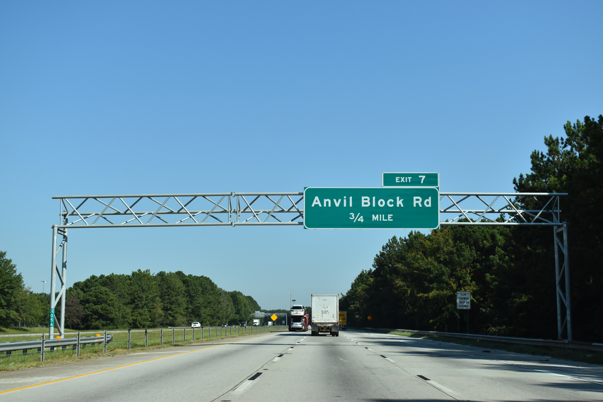
Interstate 675 spans the NS Railroad northwest ahead of Exit 7 with Anvil Block Road to the Gillem Logistics Center built at the site of Fort Gillem.
09/22/22
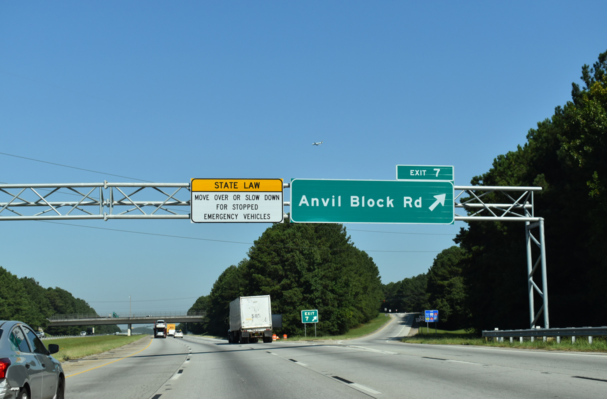
Anvil Block Road runs west from Exit 7 to U.S. 23/SR 42 at Fort Gillem and east to Fairview Road in Henry County.
09/22/22
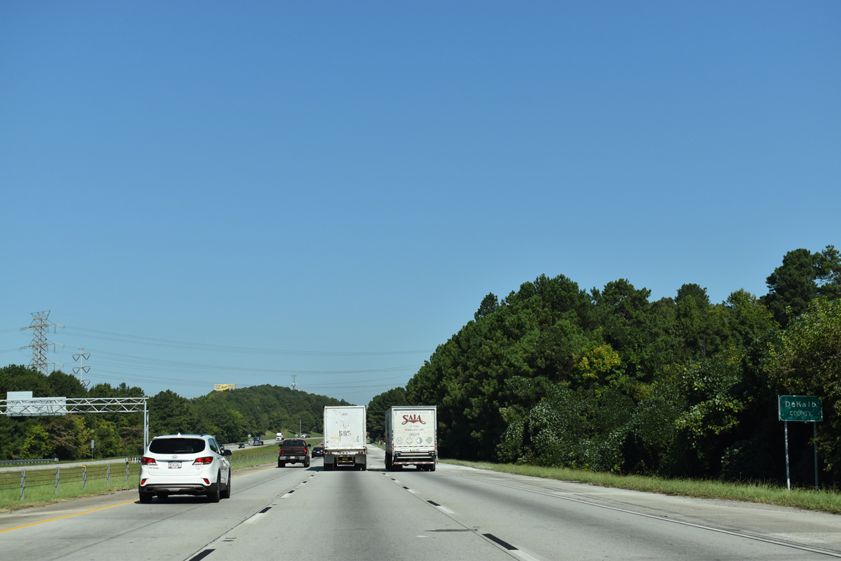
Interstate 675 lines the eastern periphery of an industrialized corridor at Conley north to the DeKalb County line at Conley Creek.
09/22/22
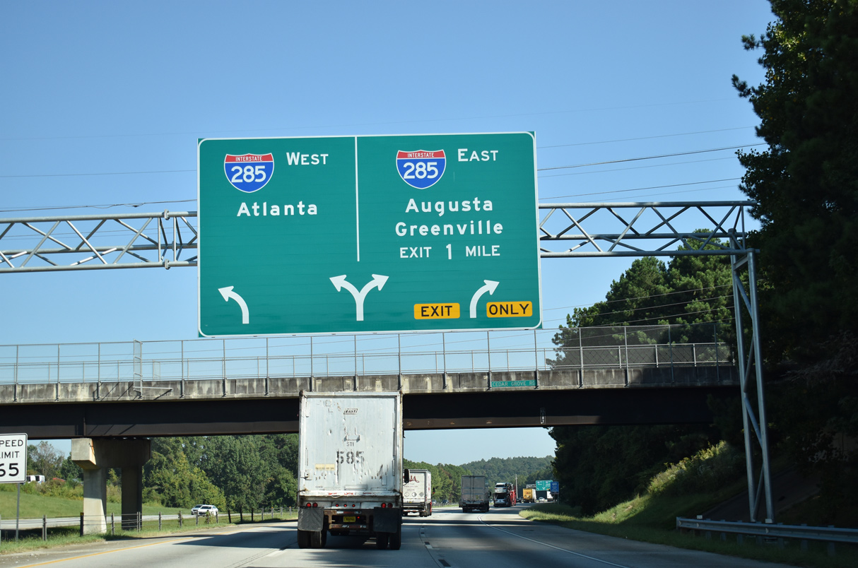
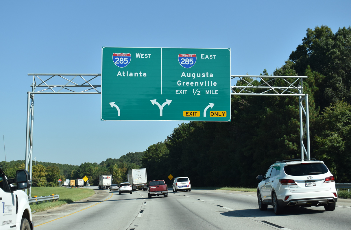
The first in a series of arrow per lane (APL) overheads for the directional T interchange with Interstate 285 appears at the Cedar Grove Road overpass.
09/22/22
Connecting with I-75/85 (Downtown Connector) north into central Atlanta, I-285 travels west to Hartsfield-Jackson Atlanta International Airport (ATL) and College Park. Northbound I-285 serves the Dekalb County suburbs, Clarkston and Stone Mountain en route to I-85 at Spaghetti Junction (Tom Moreland Interchange) near Doraville.
09/22/22
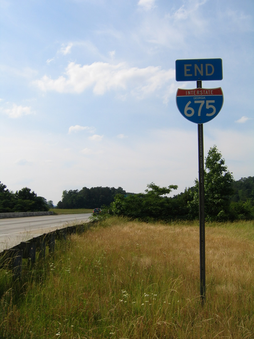
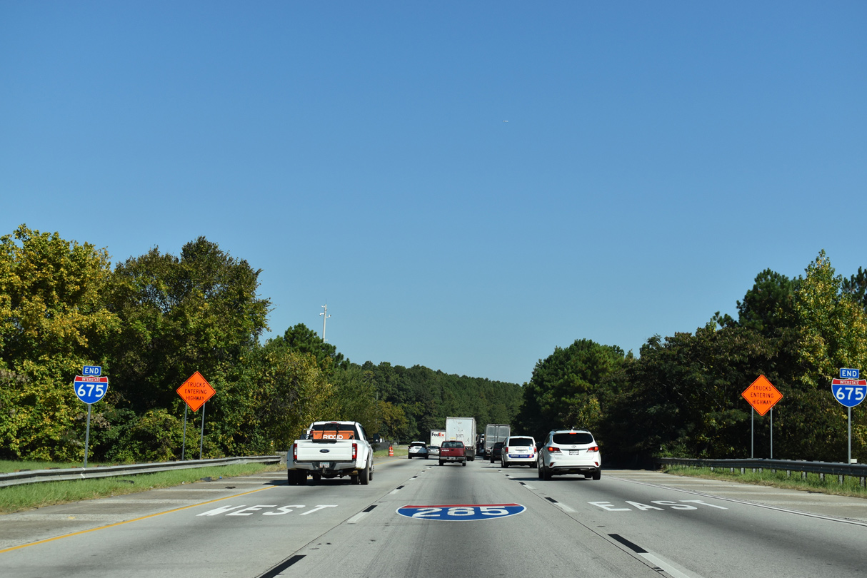
A pair of end shields for Interstate 675 north stand at the Henrico Road under crossing.
05/28/05
09/22/22
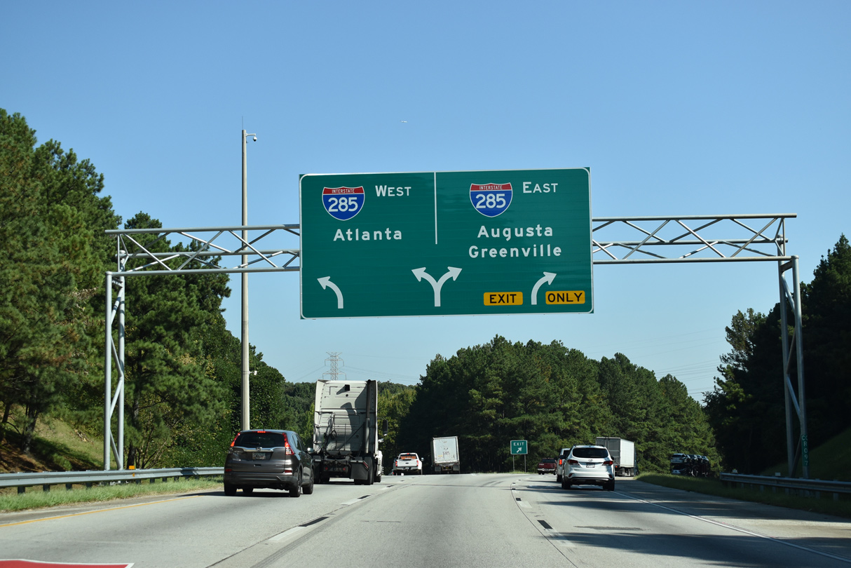
Two lanes depart for both directions of Interstate 285. The outer loop of the Perimeter Highway links I-675 north at Exit 52 with I-20 east to Augusta at Exit 46 and I-85 north to Greenville, South Carolina at Exit 32.
09/22/22
I-285 (inner loop) meets I-75 within five miles outside ATL Airport and I-85 in ten miles at the northern turn to East Point and west Atlanta.
09/22/22
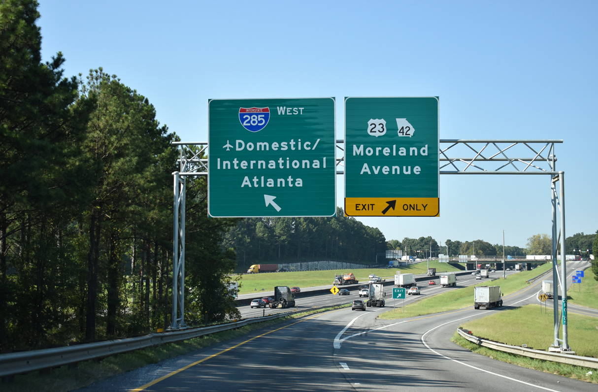
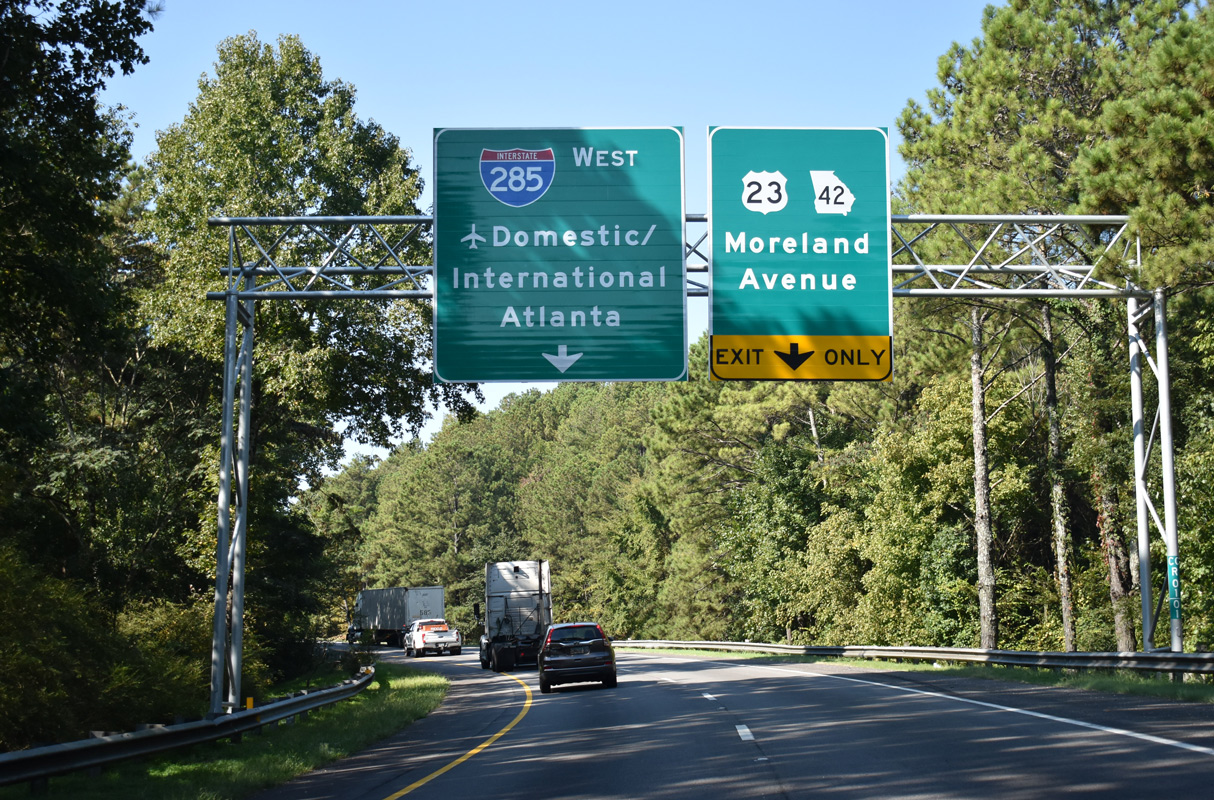
The westbound ramp to Interstate 285 provides access to the adjacent diamond interchange (Exit 53) with U.S. 23/SR 42 (Moreland Avenue).
09/22/22
Photo Credits:
- ABRoads: 09/06/20, 05/06/22
- Alex Nitzman: 05/28/05
- Brent Ivy: 09/22/22
Connect with:
Page Updated Monday December 18, 2023.