
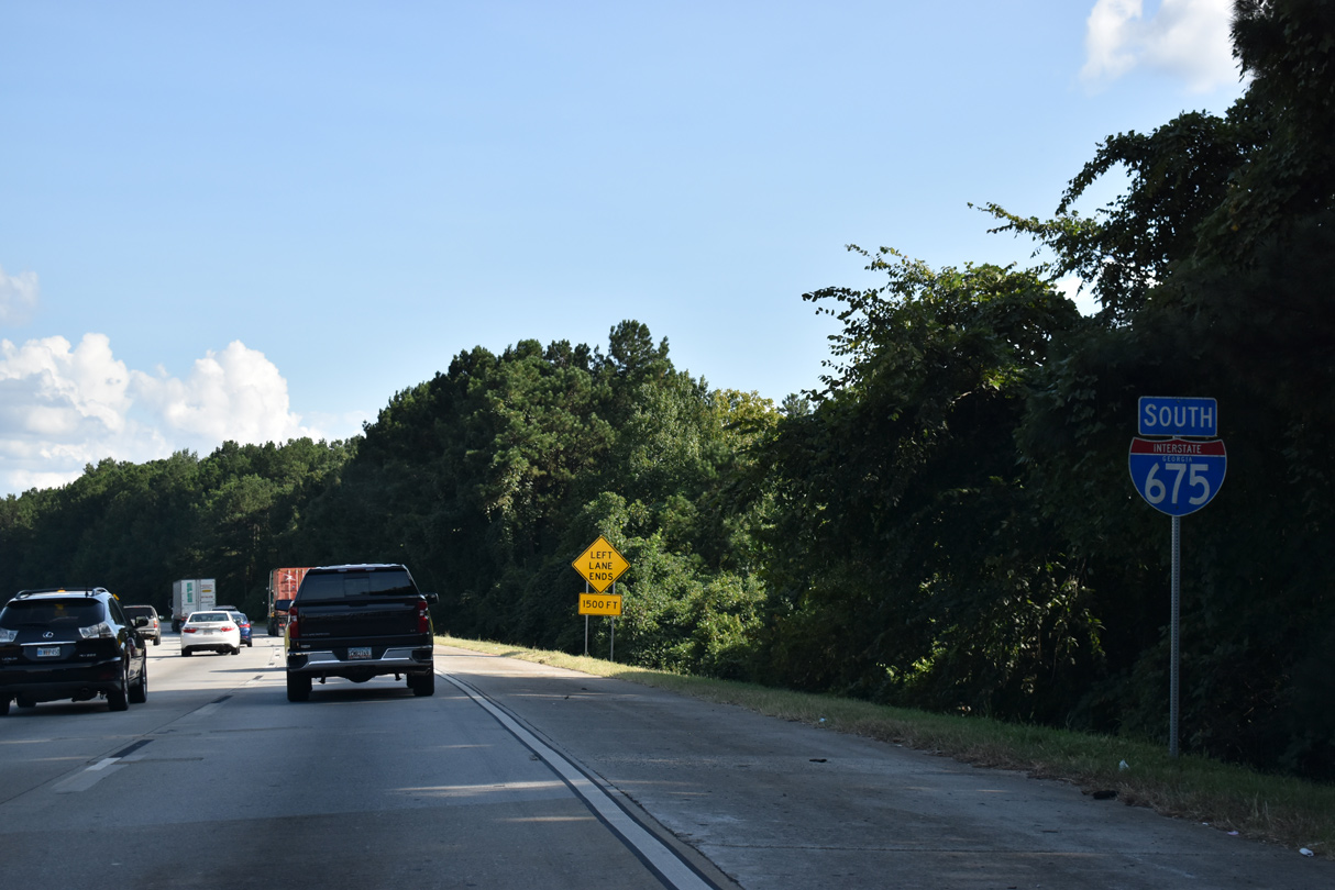
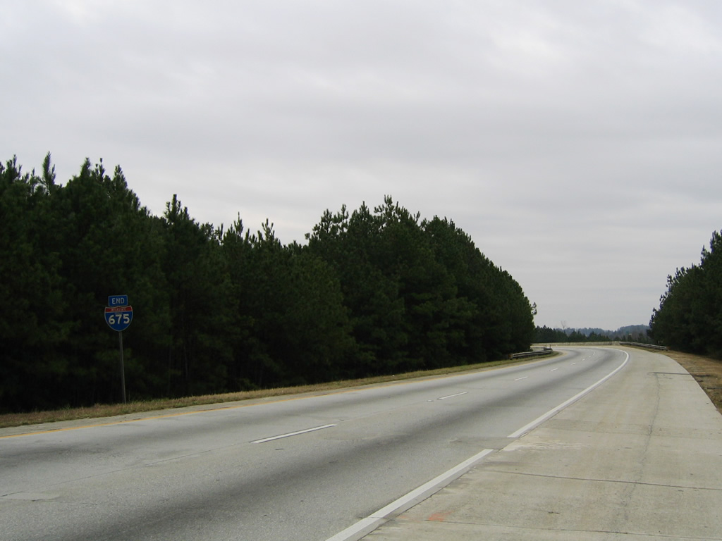
Interstate 675 South
 South
South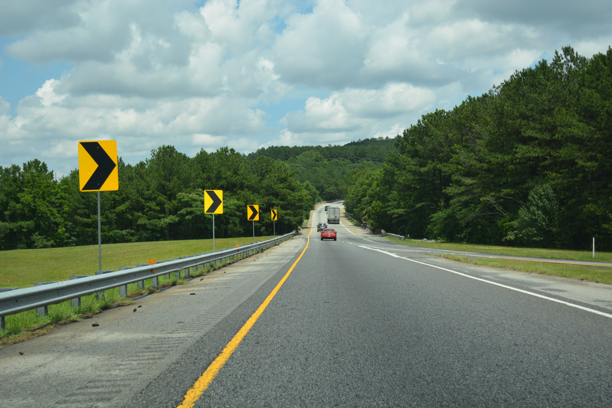
Ramps from both Interstate 285 east and U.S. 23/SR 42 (Moreland Avenue) to I-675 south combine just ahead of the Henrico Road underpass.
06/12/17
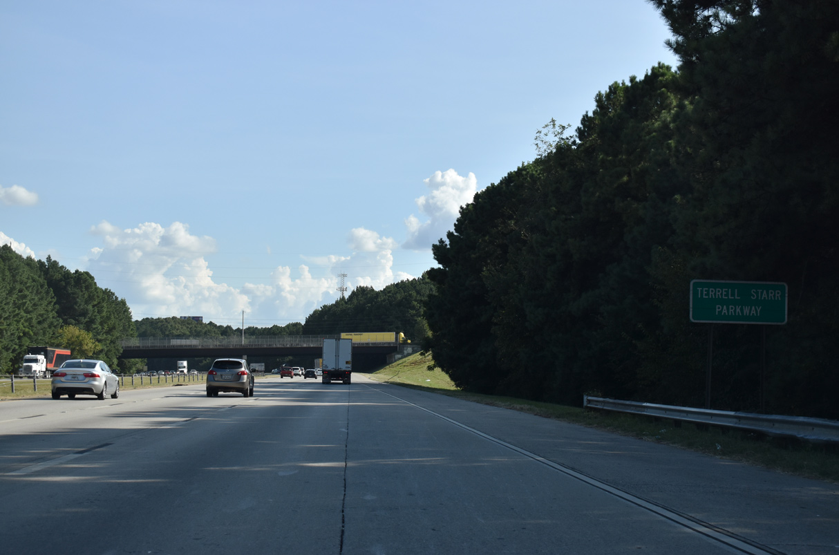
Interstate 675 south reduces to three lanes ahead of the Cedar Grove Road overpass. A sign for Terrell Starr Parkway takes the place of the first I-675 confirming marker.
09/11/20
Curving southeast, Interstate 675 separates industrial areas along the parallel Norfolk Southern Railroad with subdivisions to the east.
06/12/17
The first exit from Interstate 675 south serves the Gillem Logistics Center built at the site of Fort Gillem and the suburbs of Conley and Forest Park to the west. Fort Gillem closed as a military installation in 2011.
09/11/20
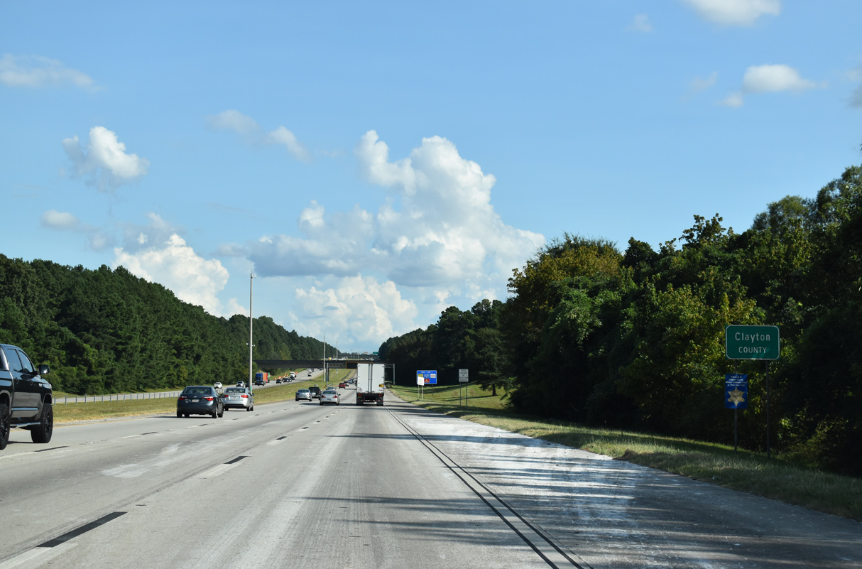
Interstate 675 crosses into northern Clayton County from southwest Dekalb County ahead of the Grant Road overpass.
06/12/17
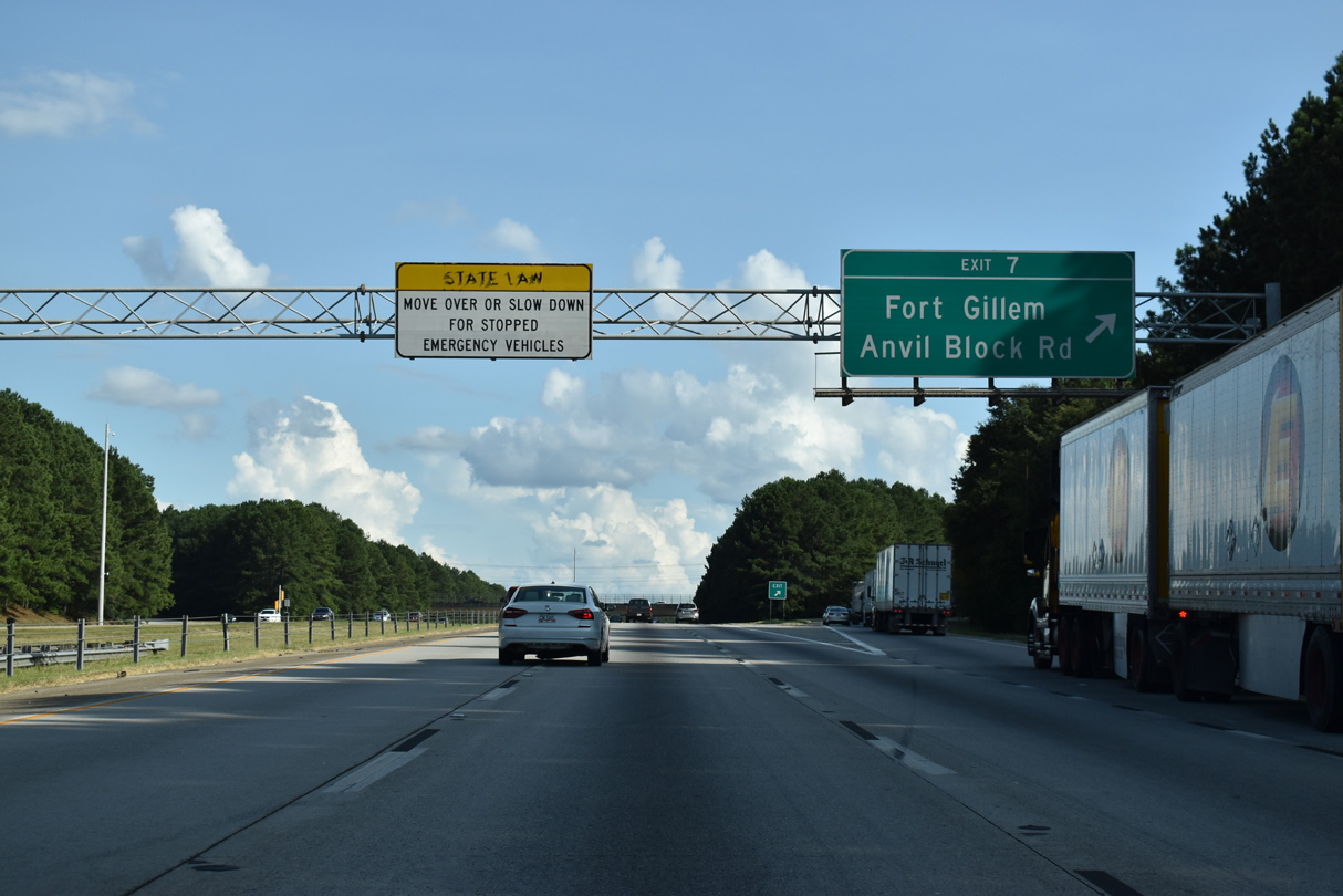
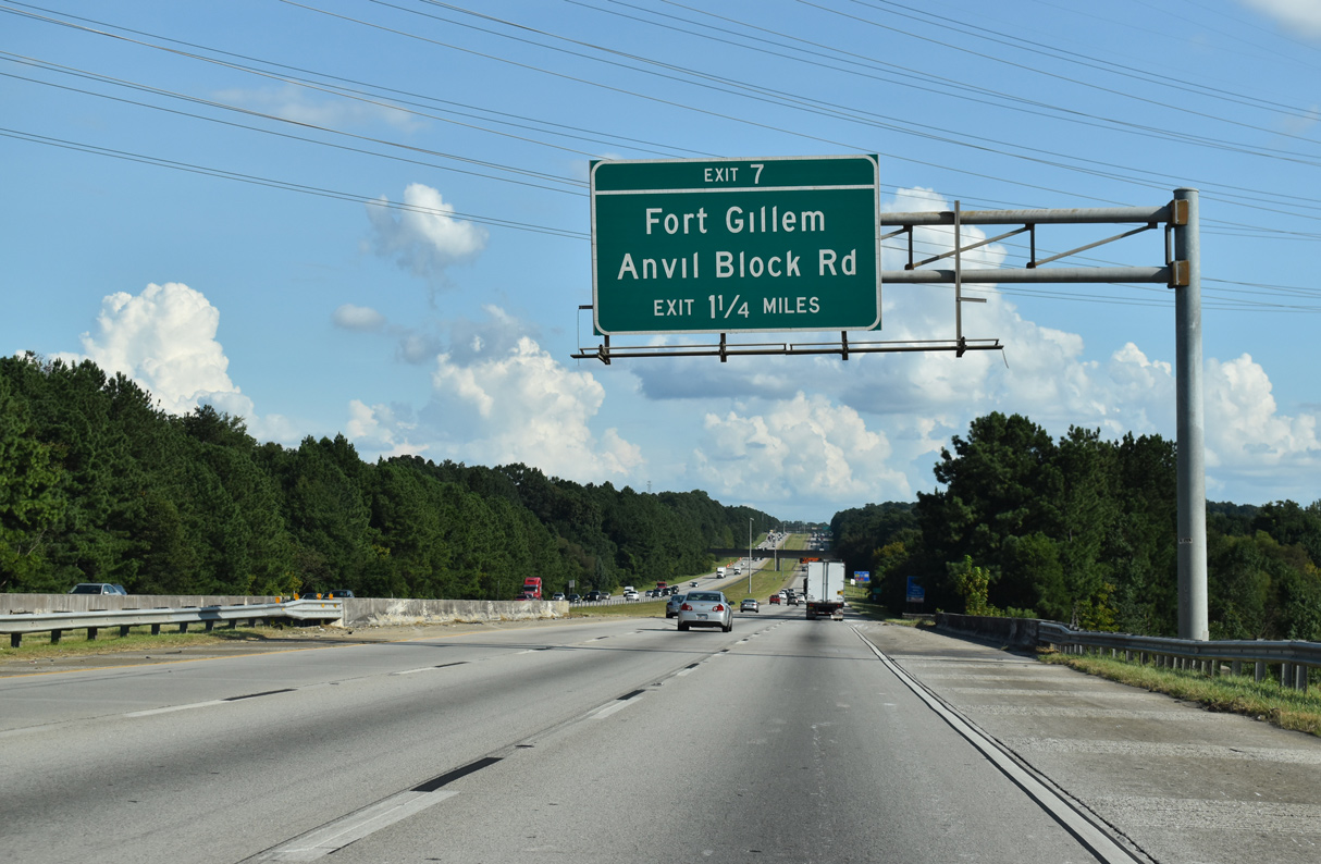
Entering the diamond interchange (Exit 7) with Anvil Block Road along I-675 south. Anvil Block Road leads west to U.S. 23/SR 42 (Moreland Avenue) at Fort Gillem and east to Fairview Road in Henry County.
09/11/20

Interstate 675 bends southward one mile ahead of the diamond interchange (Exit 5) with Forest Parkway. Forest Parkway runs west from Bouldercrest and Panola Roads through both Lake City and Forest Park to I-75.
09/11/20
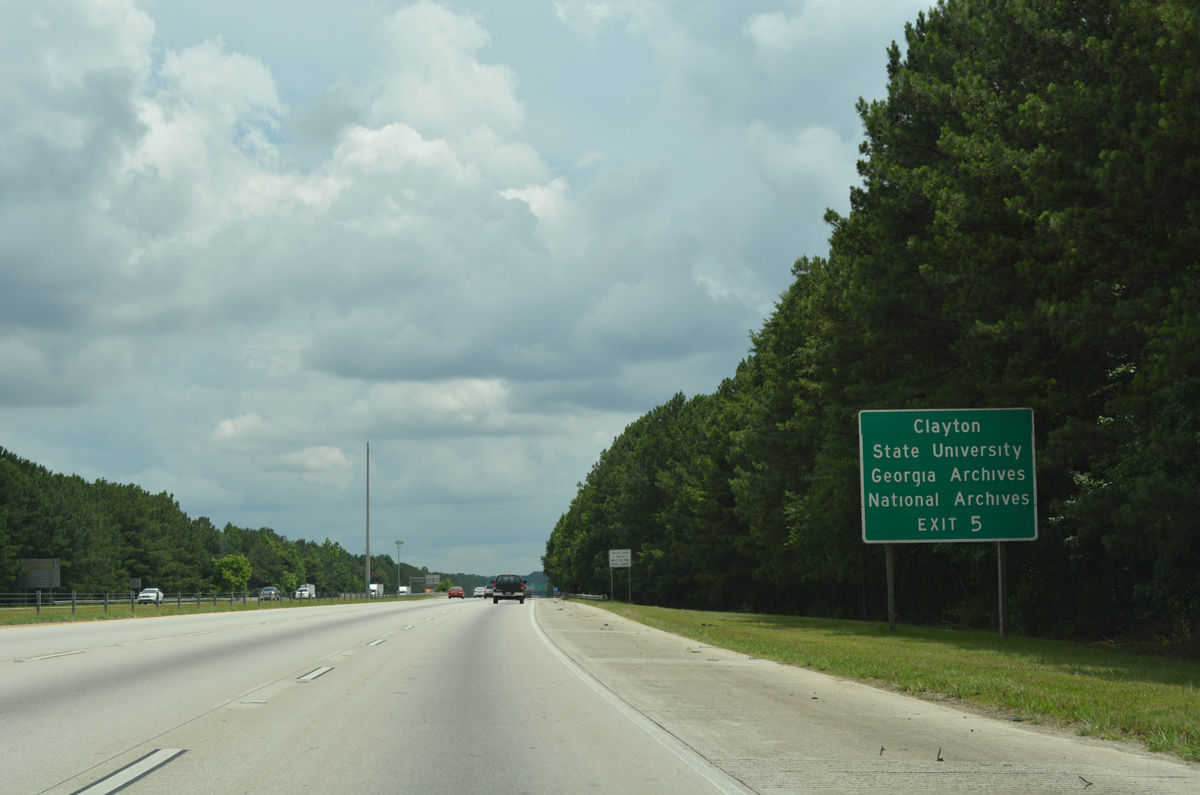
Forthcoming Exit 5 serves interests to Clayton State University via Forest Parkway south to North Parkway and the city of Morrow.
06/12/17
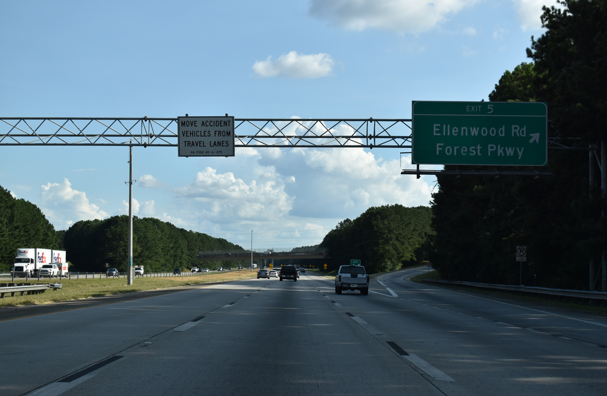
Exit 5 leaves Interstate 675 south for Forest Parkway. Ellenwood Road ties into the arterial nearby from the community of Ellenwood.
09/11/20
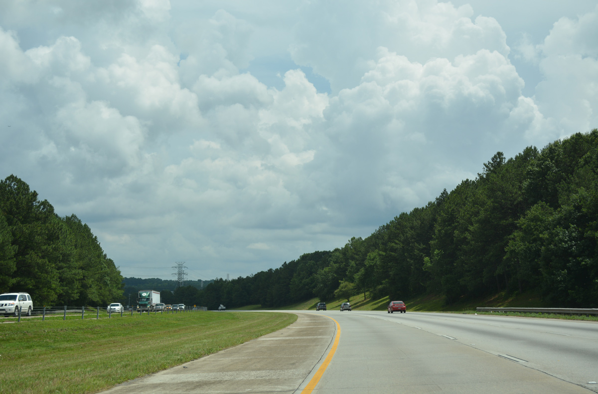
Continuing south, I-675 reduces to four overall lanes beyond the Double Bridge Road overpass.
09/11/20
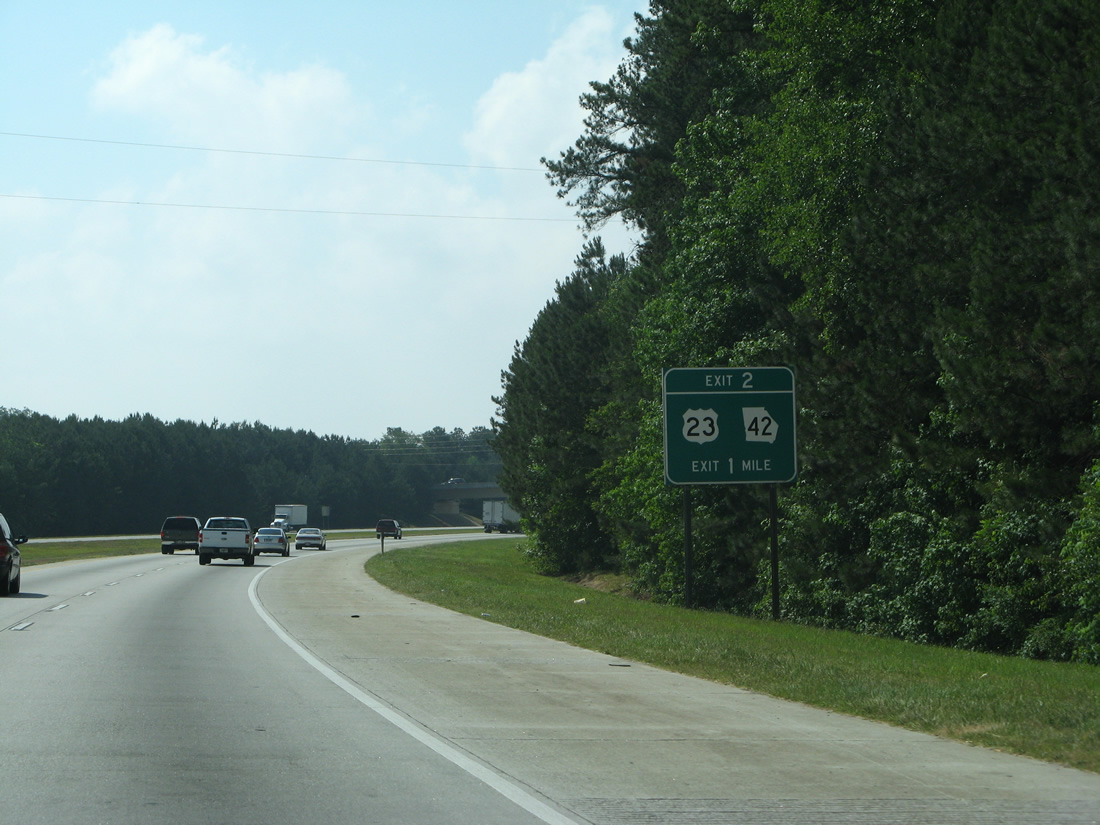
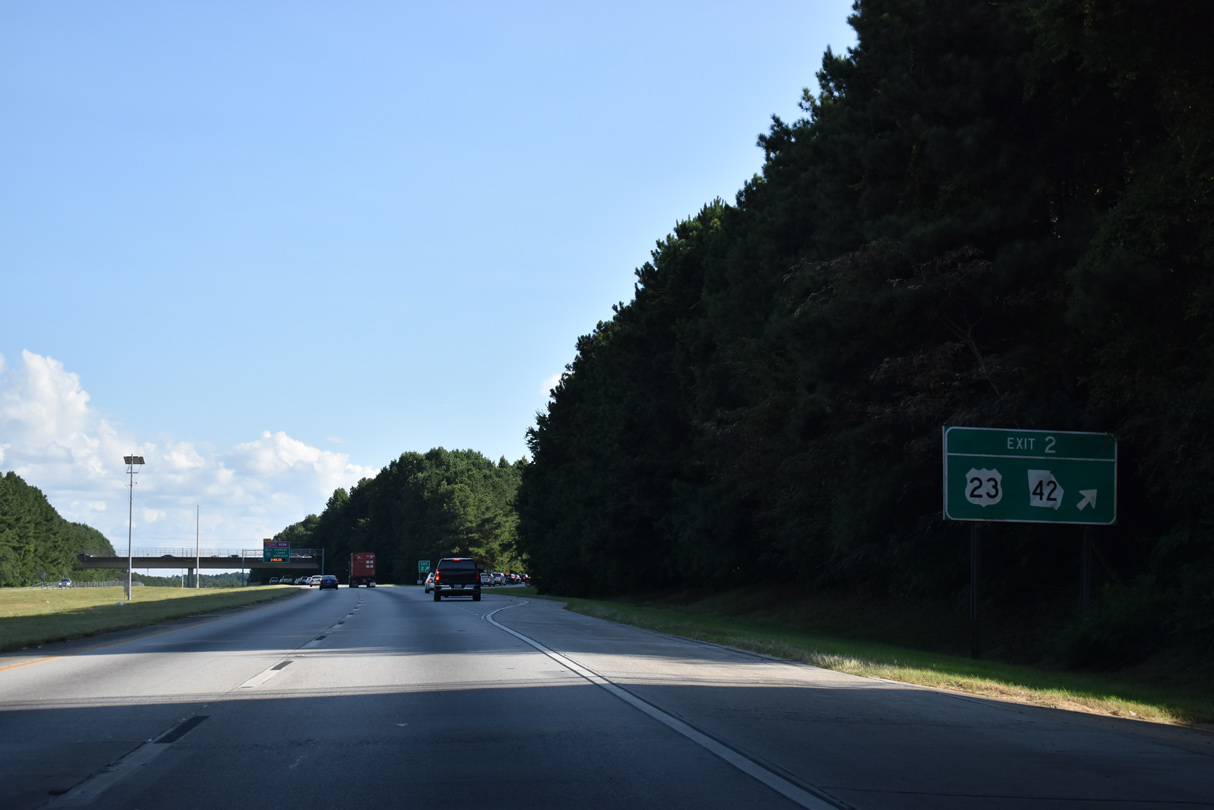
Parallel U.S. 23/SR 42 (Macon Highway) converge with I-675 eastward at a diamond interchange (Exit 2) in one mile. This guide sign was missing by 2013 and remains unposted as of 2020.
05/29/07
Evans Drive spans Interstate 675 south as Exit 2 parts ways for U.S. 23/SR 42 (Macon Highway). Beyond the Henry County line, U.S. 23 follows Henry Boulevard through the city of Stockbridge.
09/11/20
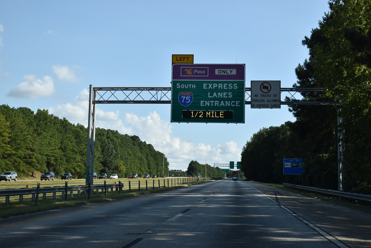
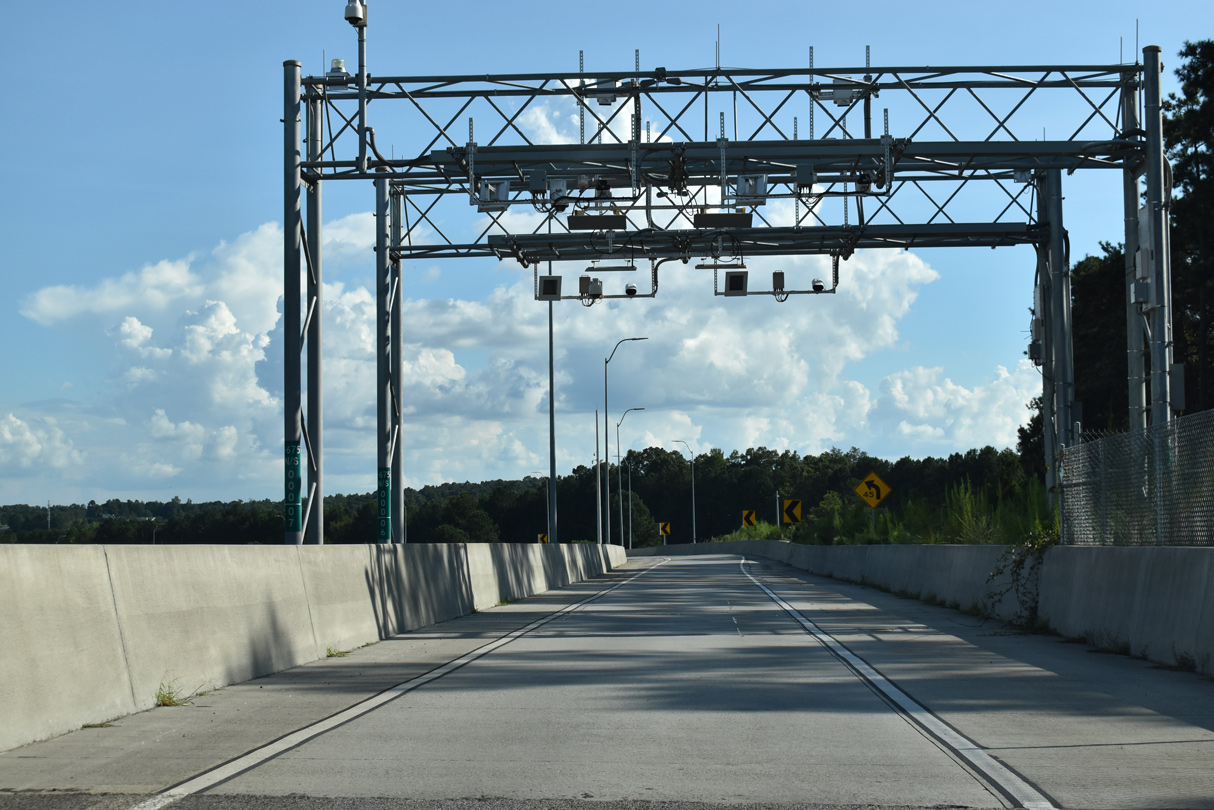
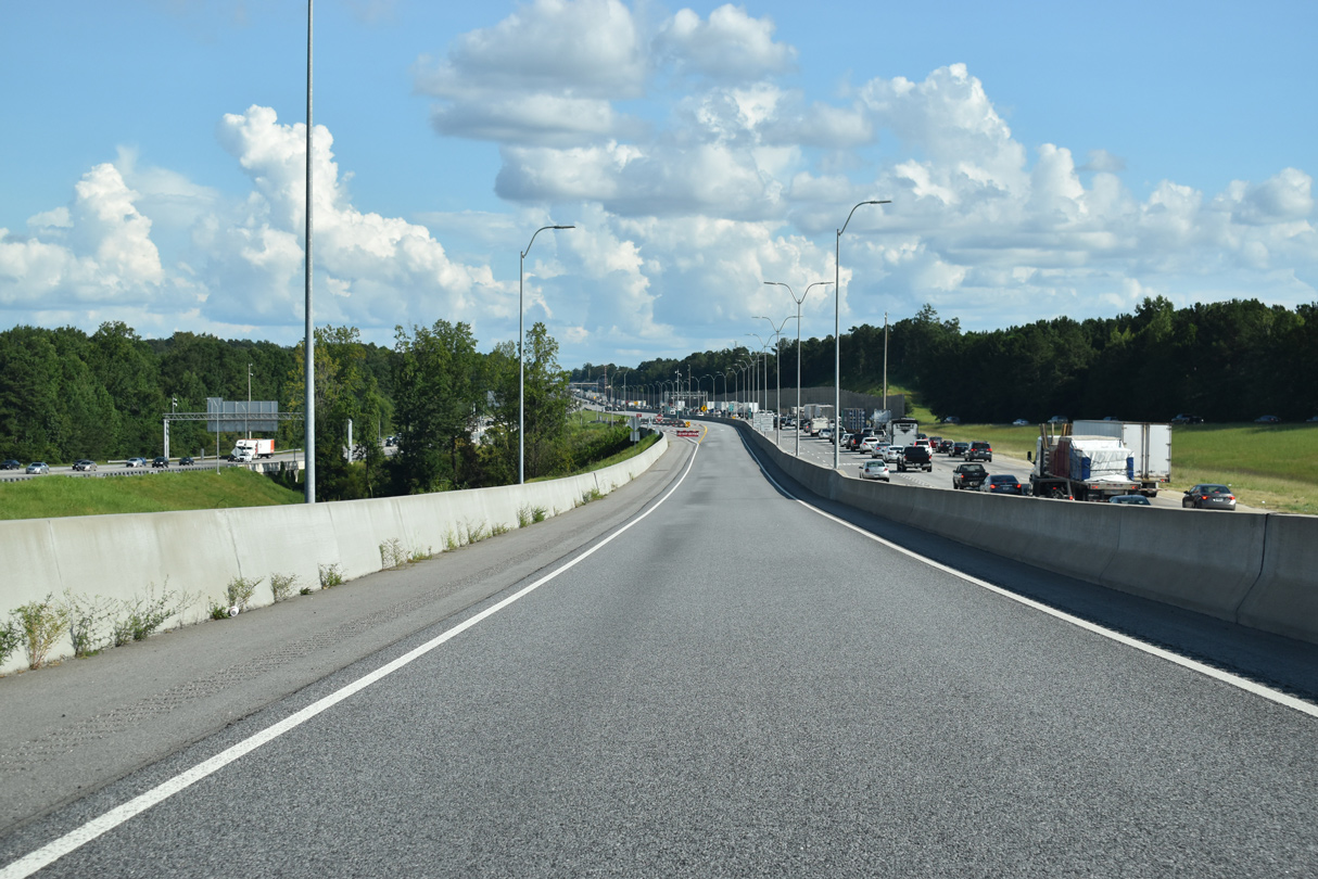
Interstate 675 ends two miles ahead at the separation with the I-75 South Metro Express Lanes. Dynamic message signs indicate whether the reversible roadway is open to traffic.
09/11/20
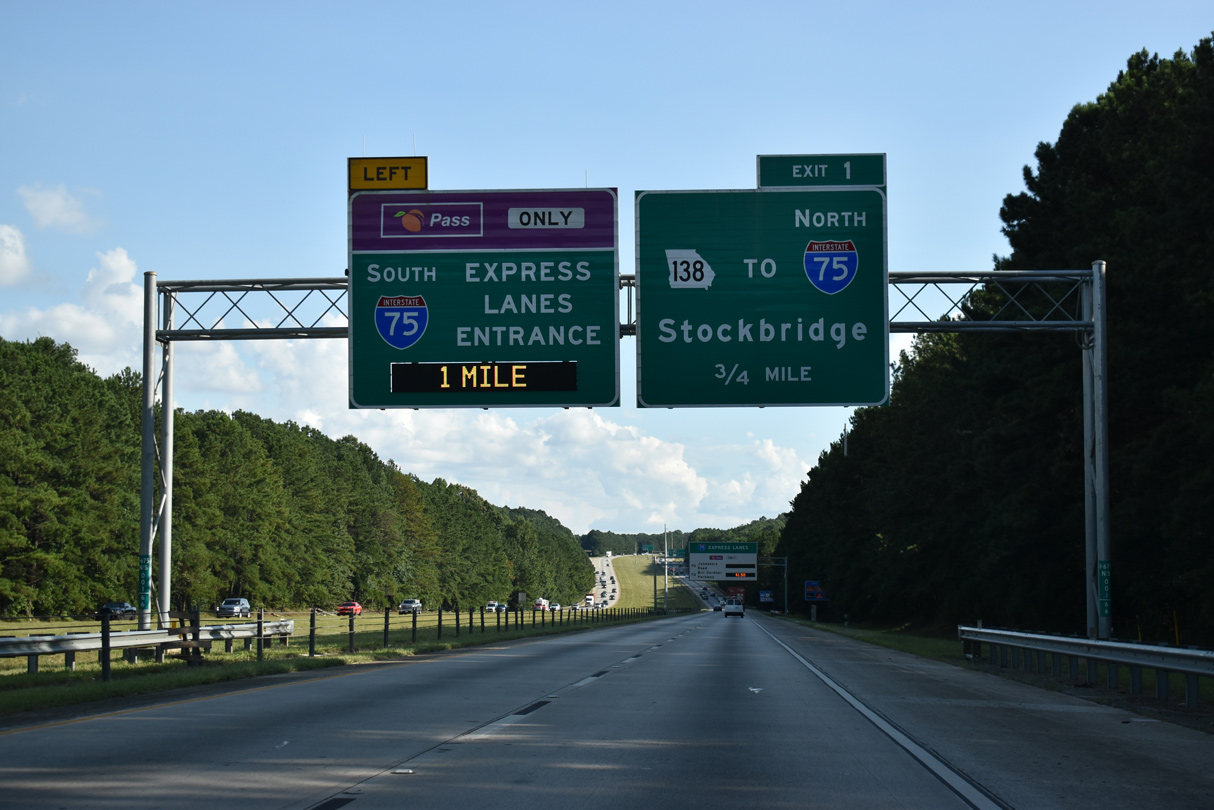
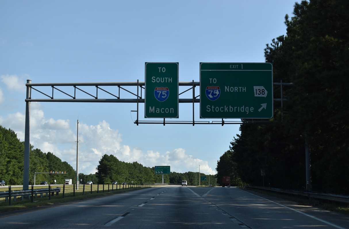
Residential subdivisions and apartment complexes line both sides of I-675 by Panther Creek and ahead of the diamond interchange (Exit 1) with SR 138 (Stockbridge Road). SR 138 west provides access to I-75 leading back north to Forest Park and Atlanta.
09/11/20
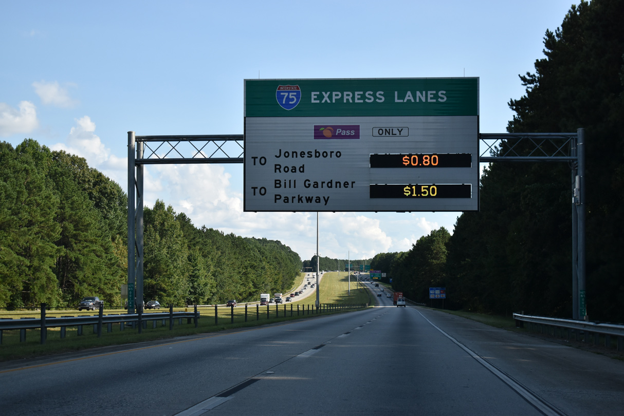
Tolls along the I-75 South Metro Express Lanes use congestion pricing, where rates increase during heavier traffic in an effort to maintain highway speeds.
09/11/20
The managed lanes along Interstate 75 run 12 miles south from I-675 and SR 138 to SR 155 at McDonough. The express lanes were completed in January 2017.
09/11/20
East from Exit 1, SR 138 combines with U.S. 23/SR 42 (Henry Boulevard) through Stockbridge. The state route lines a commercial arterial west to I-75 at Exit 228. SR 138 continues from there west to Jonesboro and Fairburn.
09/11/20
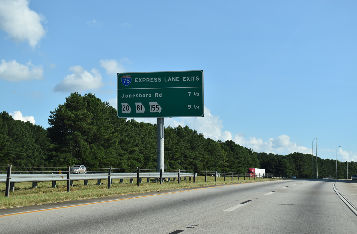
Motorists taking the I-75 Express Lanes travel 7.5 miles south from I-675 to the first egress point.
09/11/20
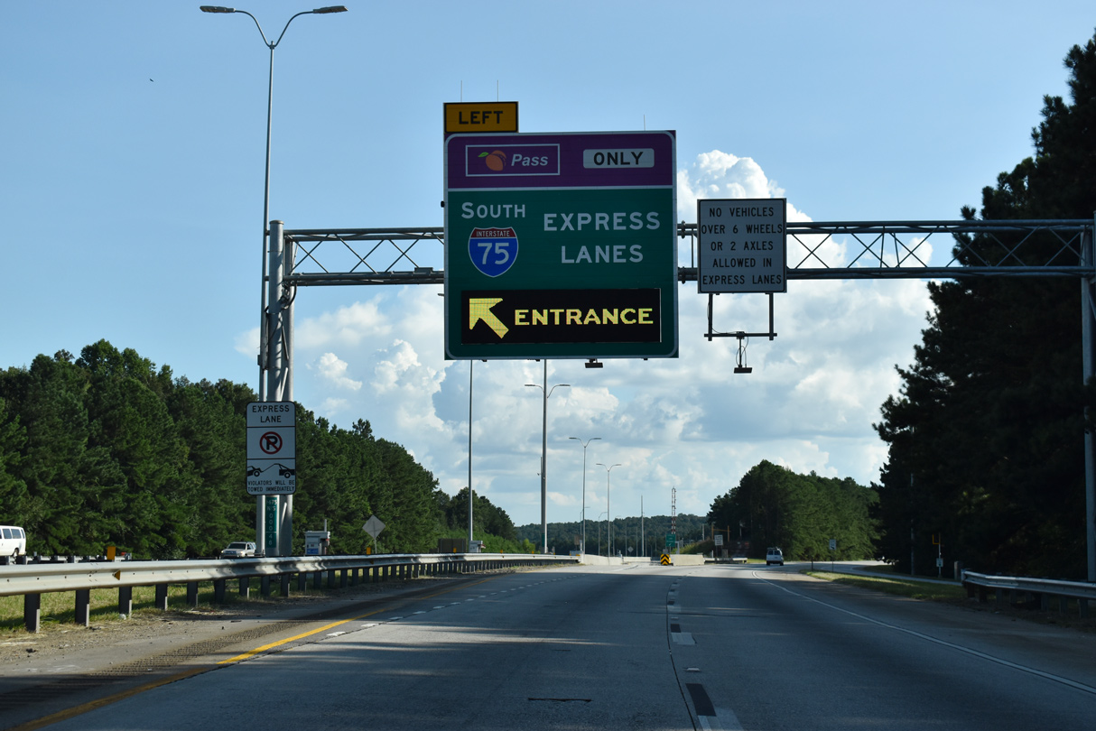
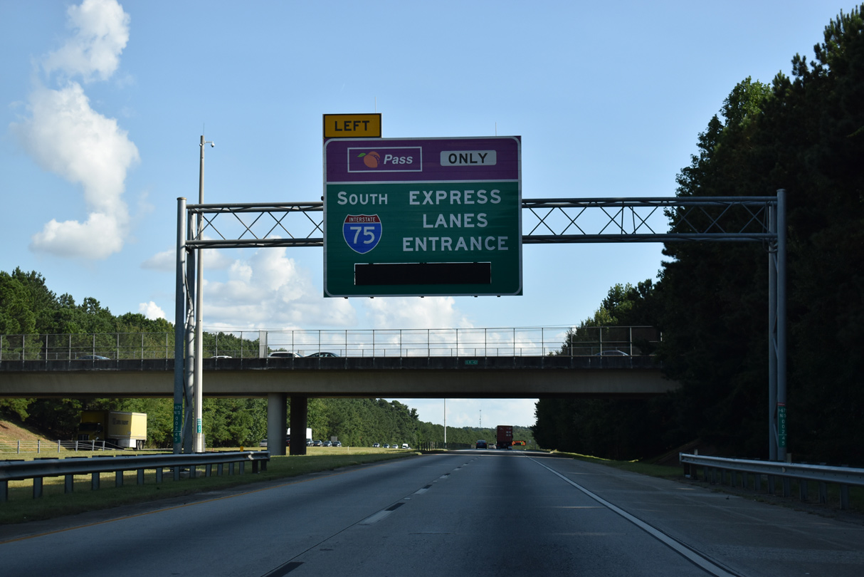
A left exit departs from I-675 for the South Metro Express Lanes as part of the reconfigured wye interchange with Interstate 75.
09/11/20
The I-75 South Metro Express Lanes are reversible, flowing inbound during the morning peak hours and outbound during the evening.
06/12/17
The managed lanes use all electronic tolling, requiring motorists to have a PeachPass transponder, or an interoperable transponder from another toll agency.
09/11/20
The general travel lanes for Interstate 675 merge onto the outside of I-75 south.
09/11/20
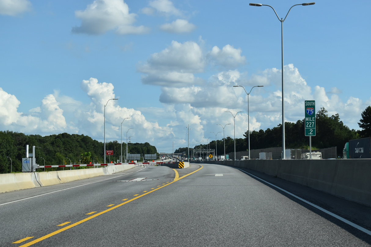
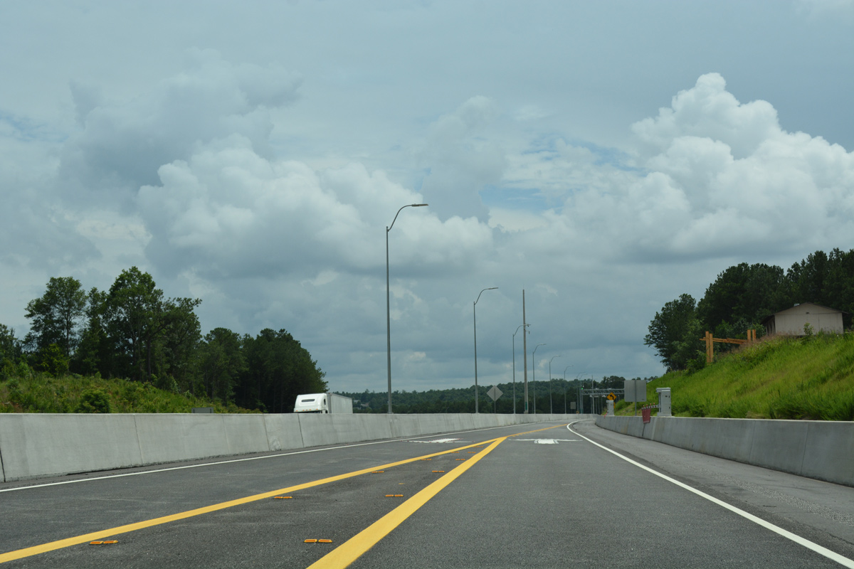
The I-75 South Metro Express Lanes begin southbound at I-675.
09/11/20
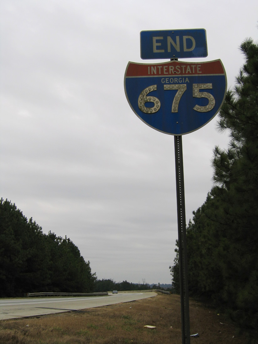
Removed by 2007, a pair of button copy end signs were posted just south of the Henry County line.
01/17/04
Photo Credits:
- Alex Nitzman: 06/12/17
- ABRoads: 09/11/20
- Andy Field: 05/29/07
- Alex Nitzman, Justin Cozart: 01/17/04
Connect with:
Page Updated Saturday September 17, 2022.