
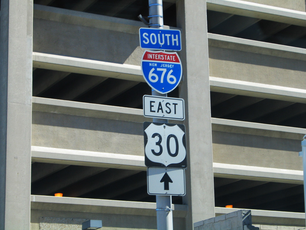
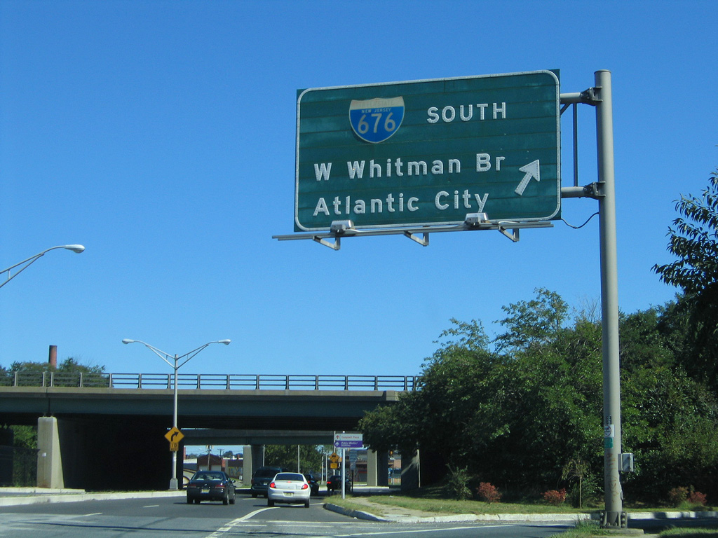
Interstate 676
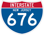
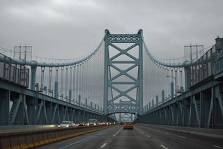
Measuring 4.75 miles in length, Interstate 676 in New Jersey extends north from I-76 and the east end of the Walt Whitman Bridge through the city of Camden to U.S. 30 (Admiral Wilson Boulevard). U.S. 30 combines with I-676 west across the Benjamin Franklin Bridge into Philadelphia by Penns Landing and Center City.
Interstate 676 Camden / Philadelphia Guides
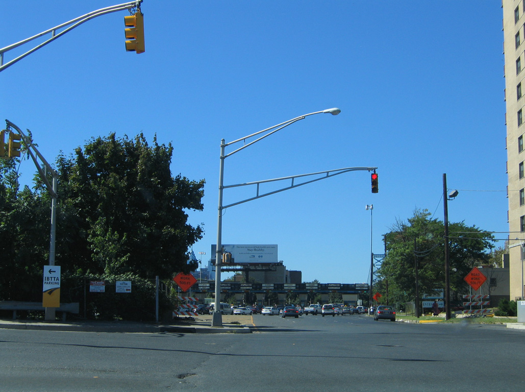
East / South - 60 photos
West / North - 59 photos
Within Philadelphia, I-676 is discontinuous with signalized intersections along westbound U.S. 30 at Franklin and N 8th Streets and eastbound at N 6th Street. The remainder of I-676 overlaps with U.S. 30 along Vine Street Expressway west to I-76 (Schuylkill Expressway).
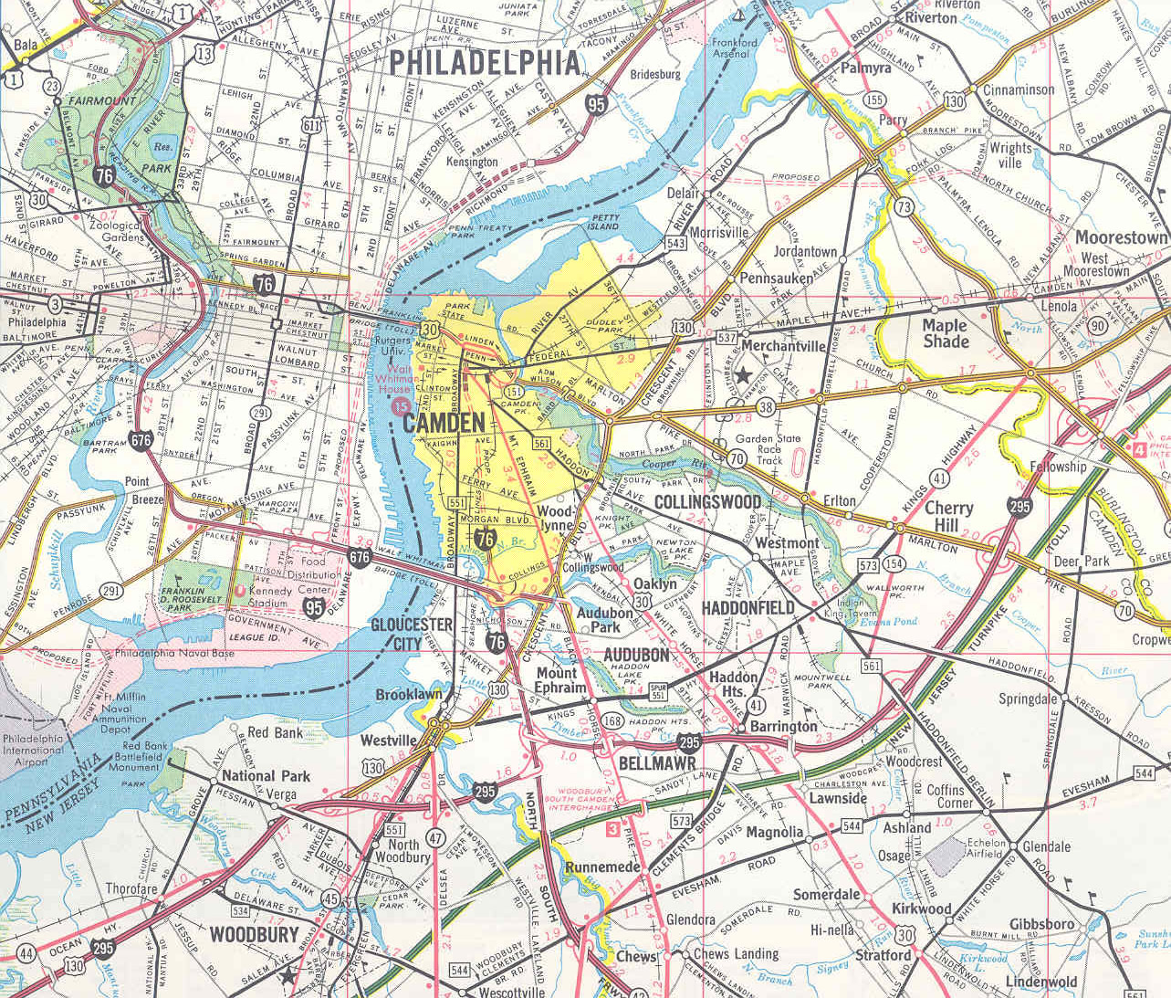
Until 1973, the routes of I-76 and I-676 were opposite of what they are today. This 1969 Gousha map of New Jersey shows the configuration in place between 1964 and 1973.
Originally designated Interstate 80S, and later as the I-76 mainline, the first portion of I-676 completed was the section leading north from the Walt Whitman Bridge approach to Morgan Boulevard (Exit 3) in 1957. The urban freeway opened from the Ben Franklin Bridge (U.S. 30) to Exit 5 (County Route 531) in 1972 and was completed in New Jersey, between Exit 3 and Exit 5, in 1980.1
Linden Street west at N 10th Street near the merge of Interstate 676 and U.S. 30 by the Pyne Point neighborhood of Camden. An off-ramp links U.S. 30 (Admiral Wilson Boulevard) west with Linden Street ahead.
09/19/04
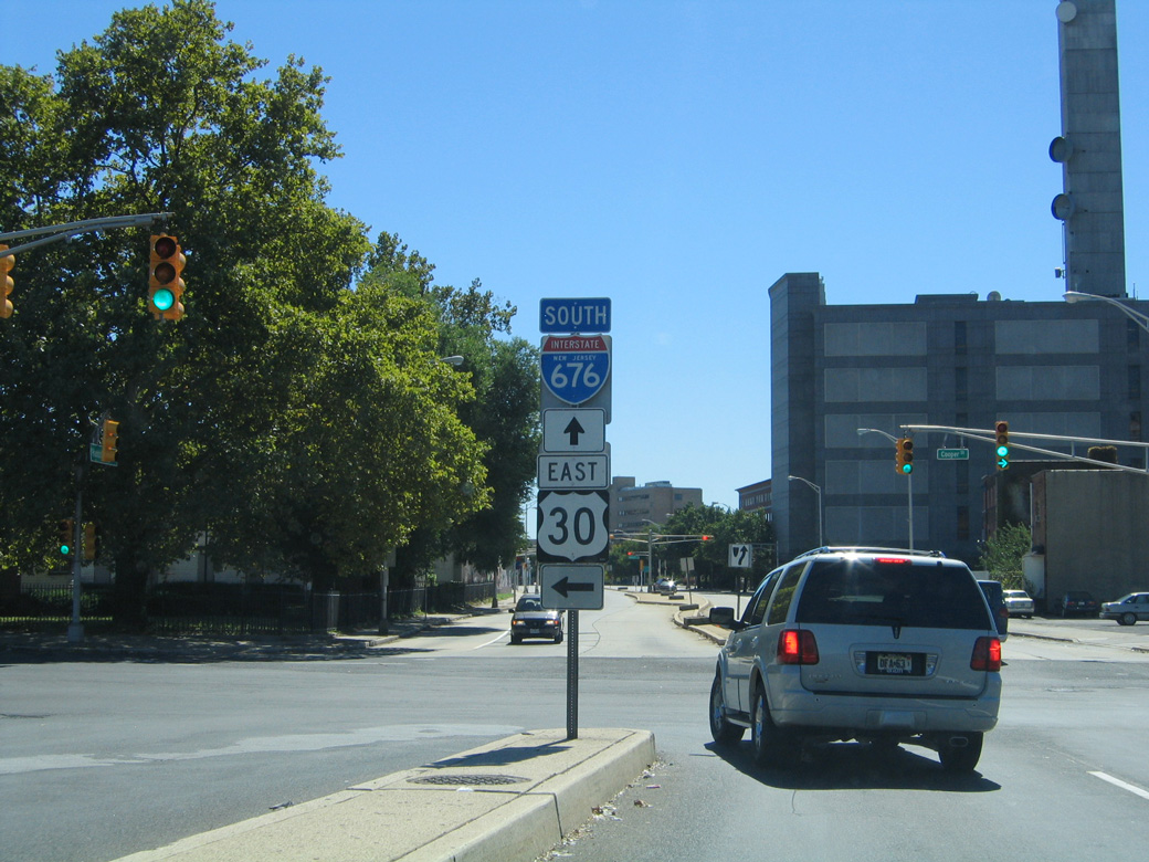
Linden Street defaults into the Ben Franklin Bridge toll plaza beyond the intersection with 7th Street while 7th Street south carries Exit 5C traffic from I-676 west into Downtown Camden.
09/19/04
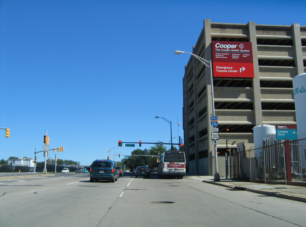
Seventh Street passes over I-676/U.S. 30 to Cooper Street, which forms an entrance ramp for Admiral Wilson Boulevard east. Interests to I-676 are directed southward to Martin Luther King Boulevard east.
09/19/04
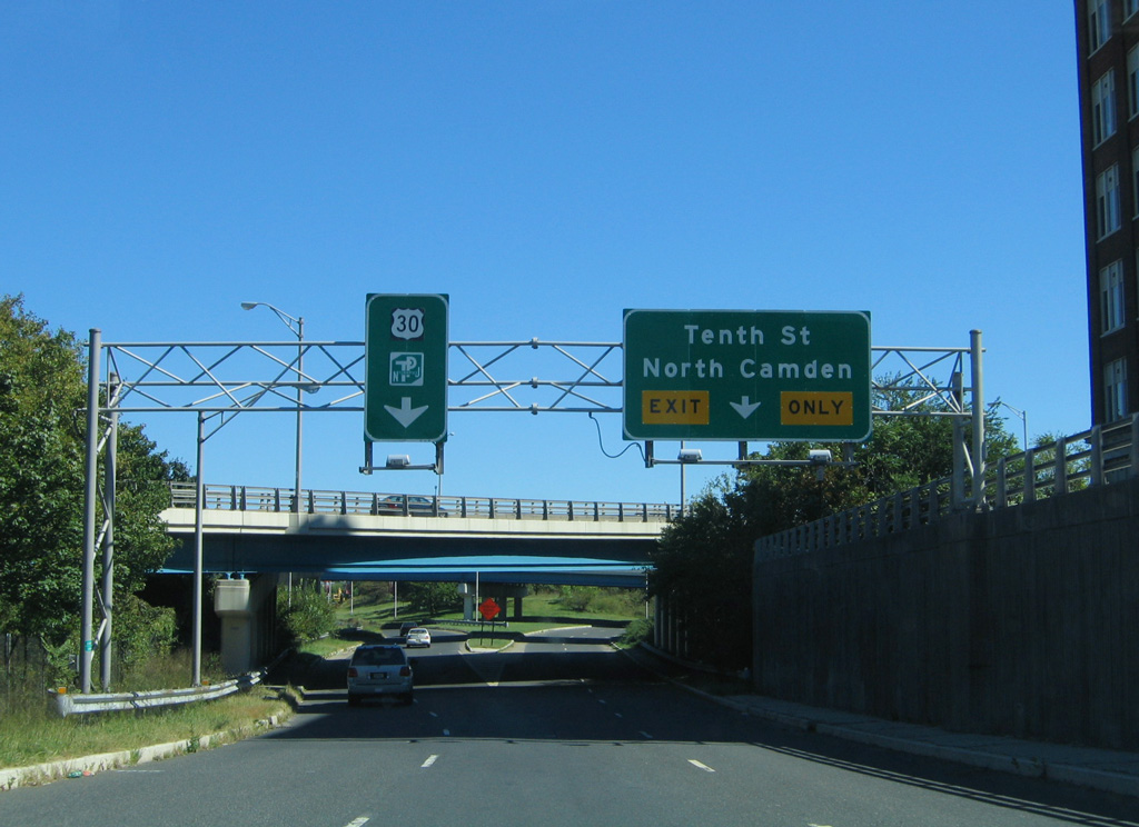
Cooper Street east of 7th Street partitions into ramps for 10th Street to North Camden and U.S. 30 (Admiral Wilson Boulevard) east to Pennsauken.
09/19/04
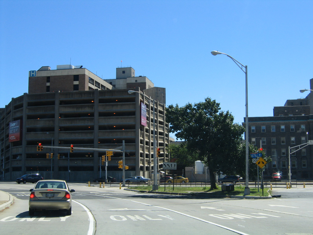
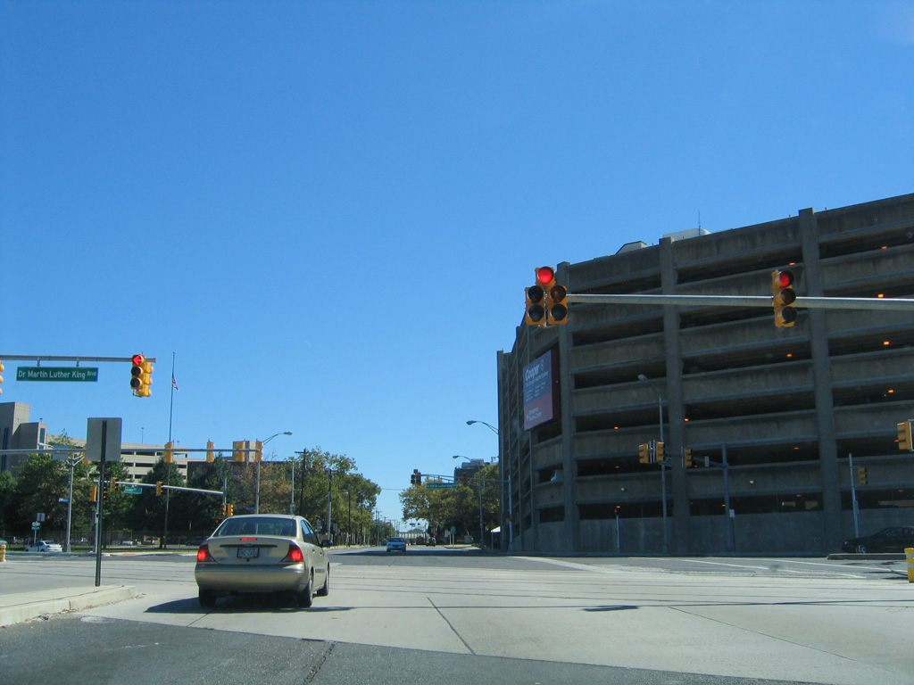
7th Street curves southeast to become CR 561 and Haddon Avenue at the intersection with Martin Luther King Boulevard (formerly Mickle Boulevard). MLK Boulevard links Cooper University Hospital with I-676 south nearby.
09/19/04
Martin Luther King Boulevard east at Haddon Avenue (CR 561) south and 7th Street north. This scene is drastically different now with expansion of Cooper University Hospital.
09/19/04
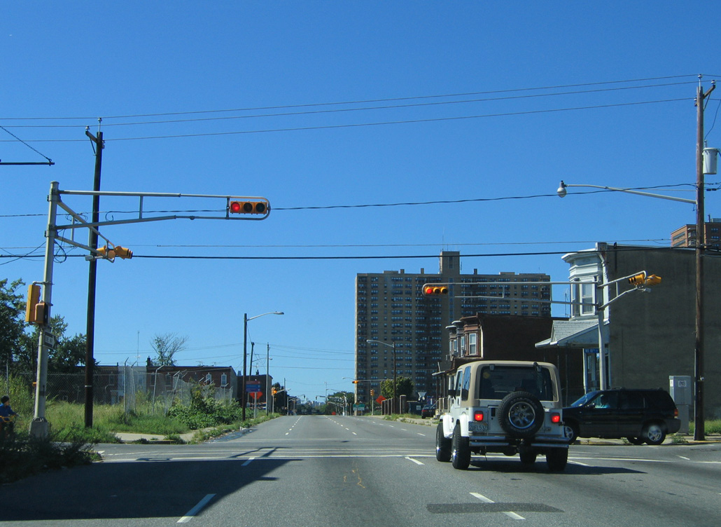
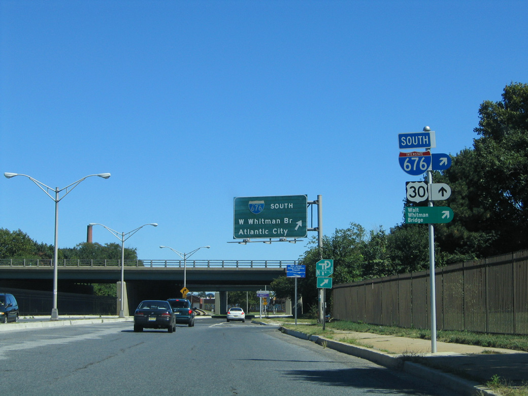
Martin Luther King Boulevard proceeds east from CR 561 to the southbound on-ramp for Interstate 676. This button copy sign was replaced by 2008.
09/19/04
References:
- Vine Street Expressway (I-676 and US 30), NYCRoads.com.
Photo Credits:
- Alex Nitzman, Carter Buchanan: 09/19/04
Connect with:
Page Updated Wednesday January 08, 2020.