
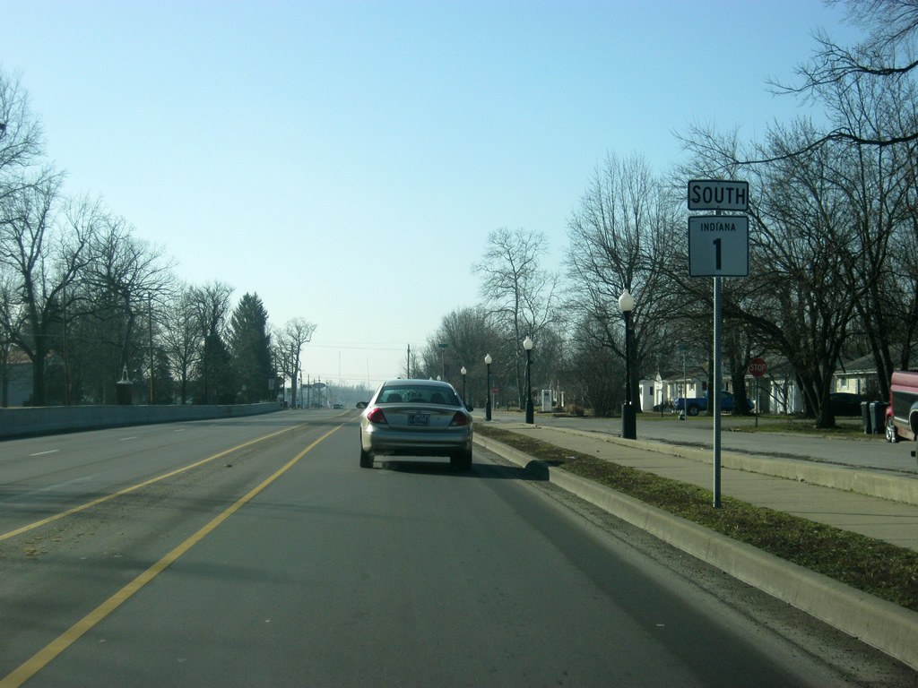
State Road 1 South - Wayne & Fayette Counties

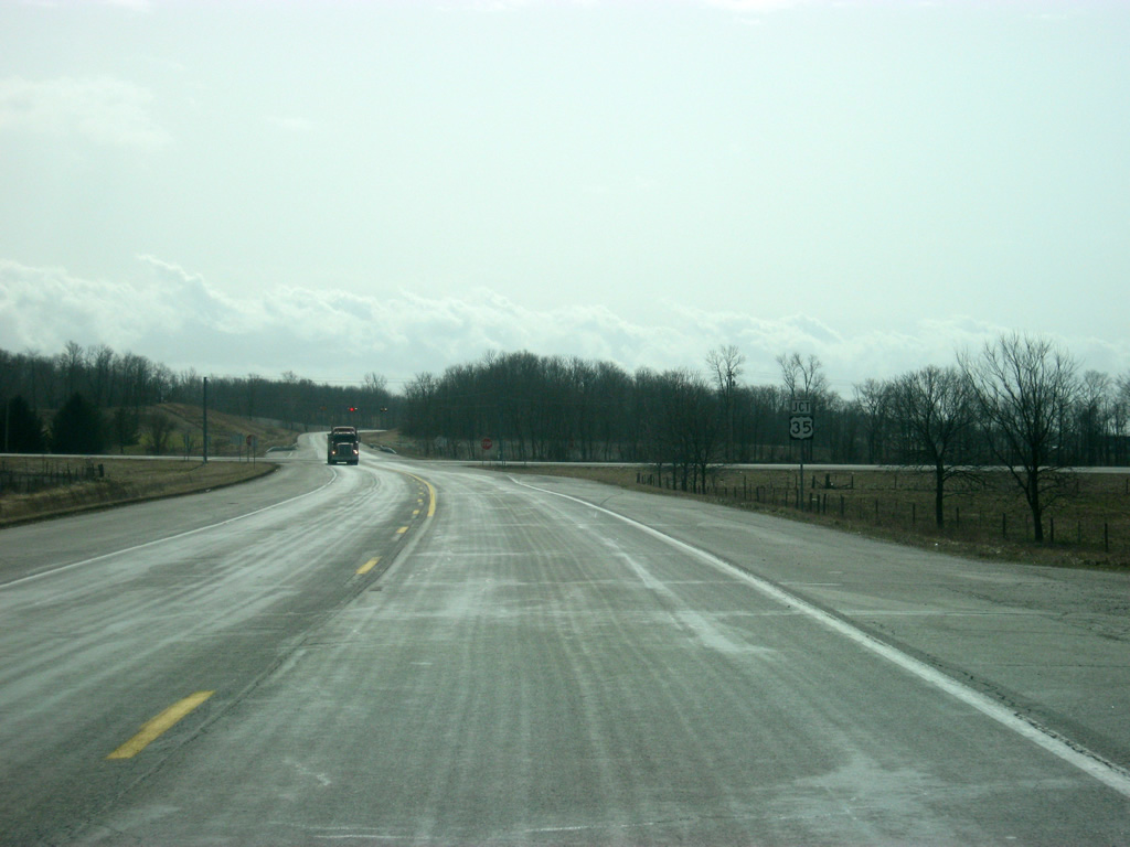
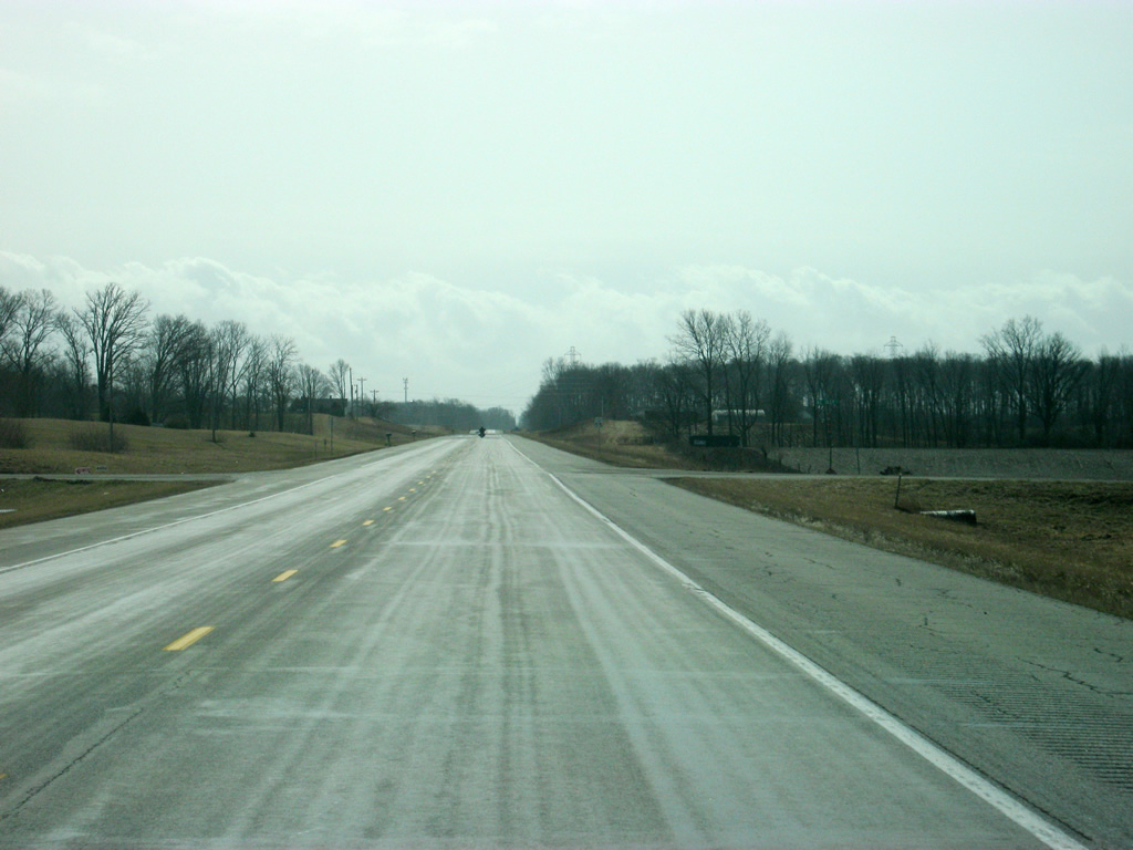
Up next for SR 1 is the intersection with U.S. 35, which goes for 412 miles across the highway from Michigan City to Interstate 64 in West Virginia. In Indiana, it passes through LaPorte, Logansport, Kokomo, Gas City, Muncie and Richmond.
11/15/10
SR 1 meets U.S. 35 in northwest Wayne County at a four-way stop. U.S. 35 to the southeast continues to Economy, Williamsburg and the Wayne County seat of Richmond.
11/15/10
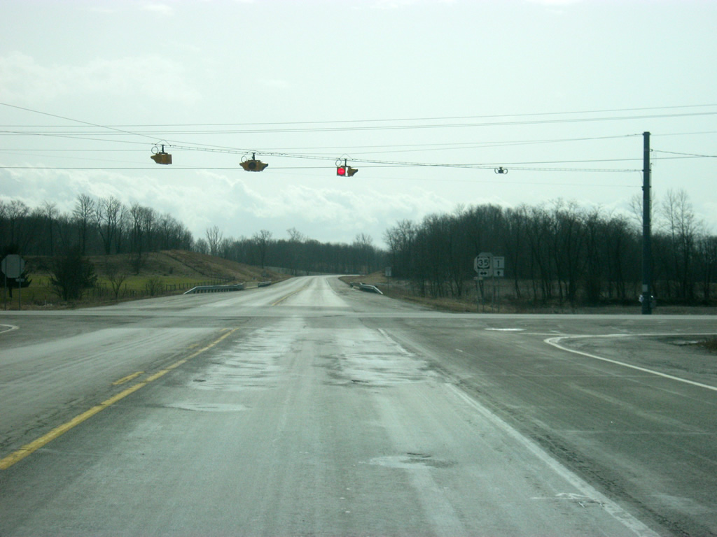
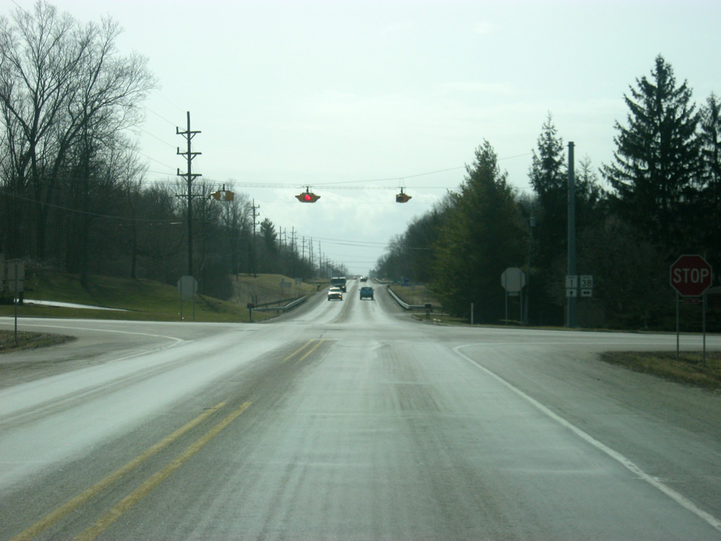
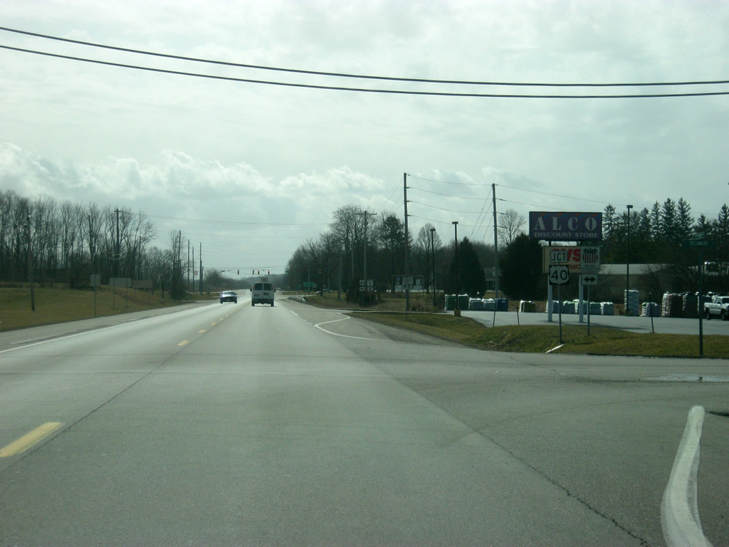
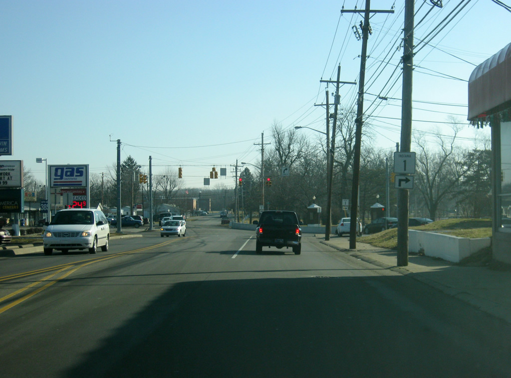
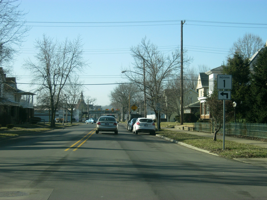
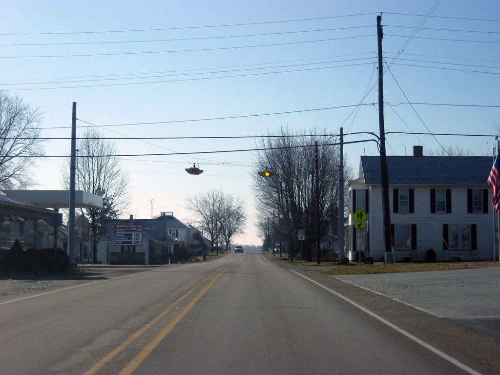
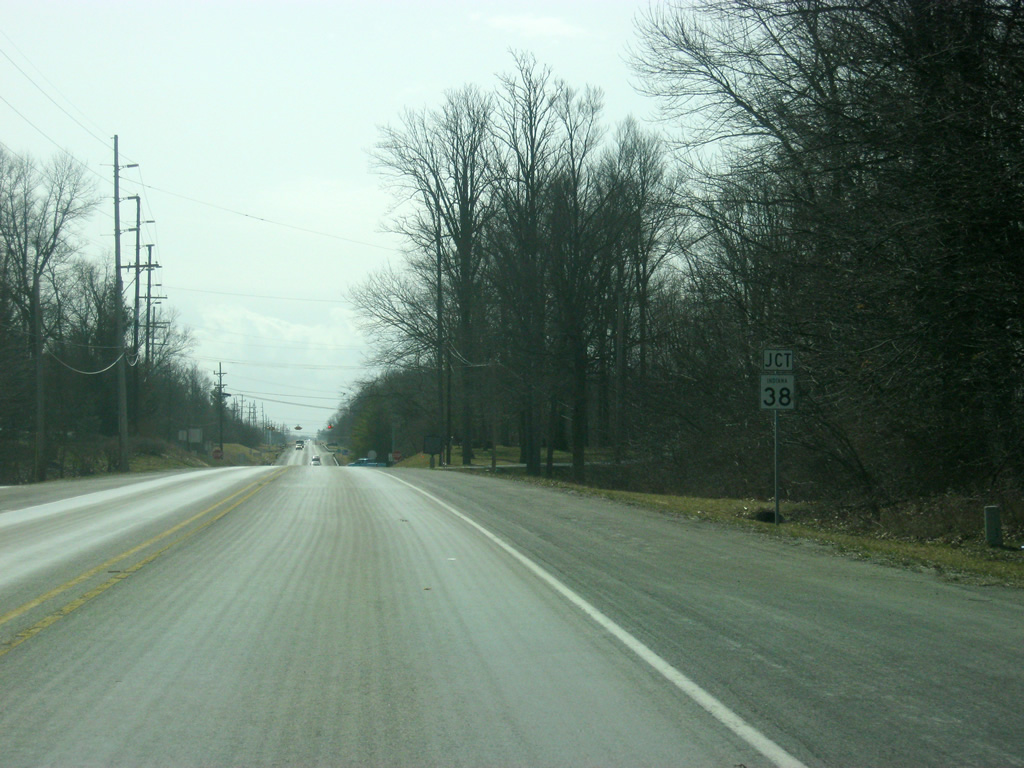
From U.S. 35, it is a five mile trip to SR 38 and the town of Hagerstown.
11/15/10
SR 38 crosses SR 1 to the east of the town of Hagerstown. SR 38 is a 116 mile highway that begins in Lafayette and goes through Frankfort, Sheridan, Noblesville, and New Castle before ending at U.S. 35 near Richmond.
11/15/10
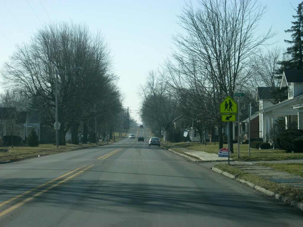
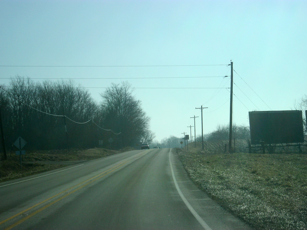
SR 1 and SR 38 meet a four-way stop just east of Hagerstown. The town of Greens Fork is 6.5 miles to the east and Richmond is about 14 miles to the east.
11/15/10
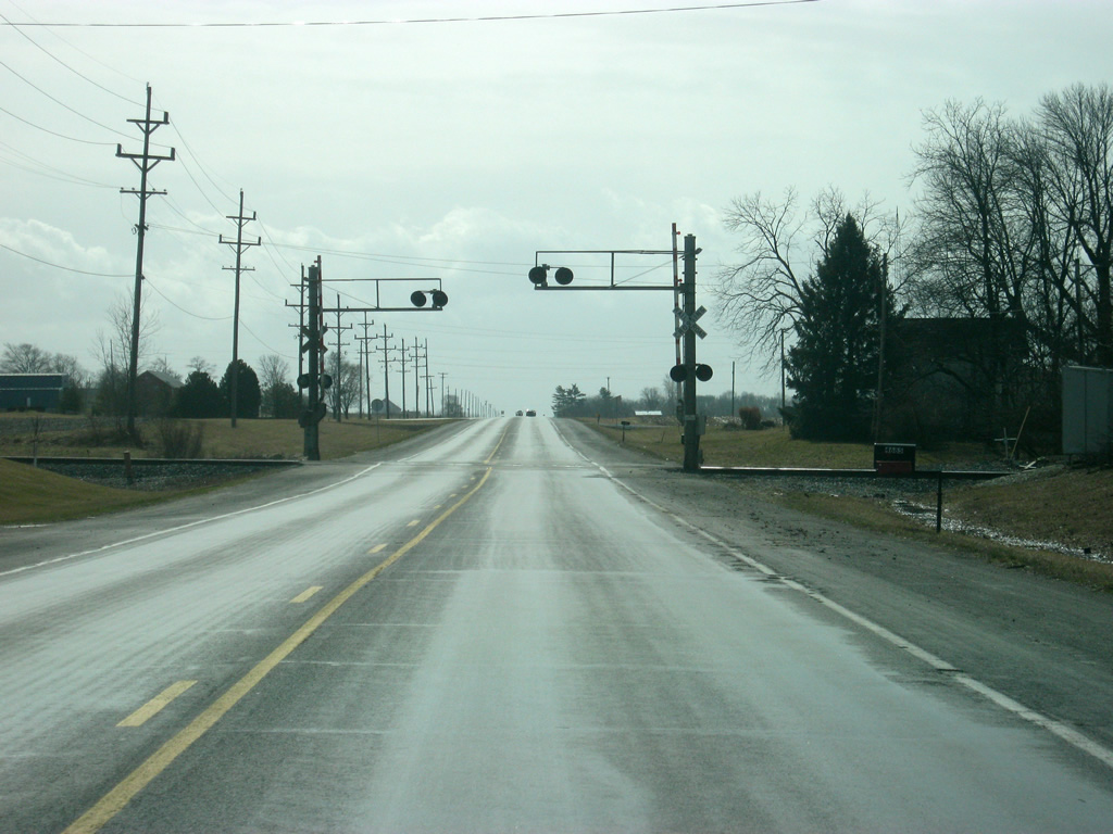
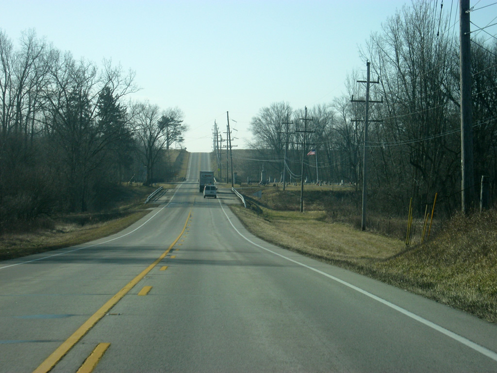
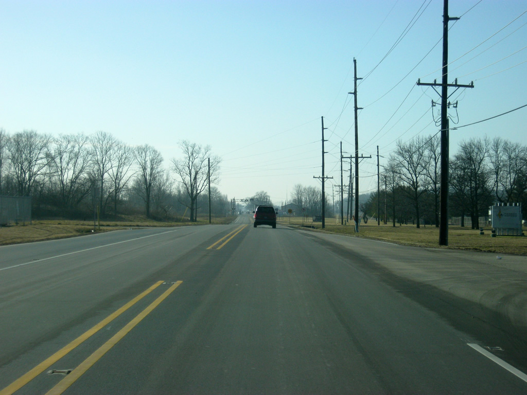
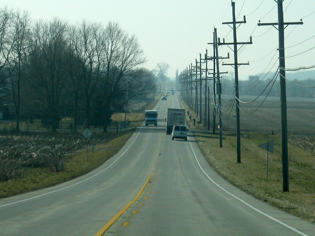
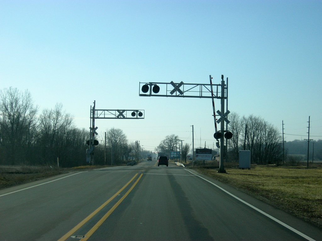
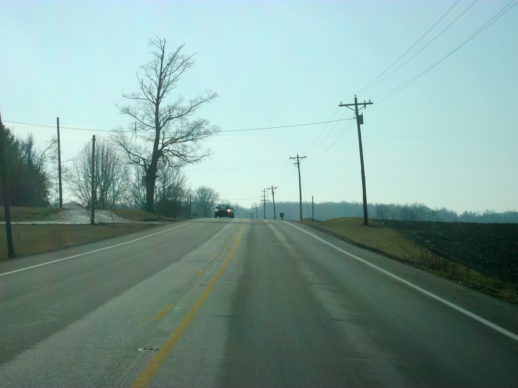
SR 1 crosses the Norfolk Southern railroad track to the south of SR 38 along its four mile journey toward Interstate 70. South of Hagerstown, SR 1 follows the path of the Whitewater River Scenic Byway, a route that follows Whitewater River and historic Whitewater Canal from Hagerstown to the south toward Cincinnati. SR 1 follows the scenic highway south to Connersville.
11/15/10
SR 1 approaches the diamond interchange with Interstate 70, which travels from Cove Fort, Utah to Baltimore, Maryland for 2,153 miles. In Indiana, the interstate highway goes for 156 miles from Terre Haute east through Indianapolis and east toward Richmond.
11/15/10
Traffic bound for Interstate 70 west toward New Castle, Greenfield and Indianapolis turn off toward the right on the north side of the diamond interchange.
11/15/10
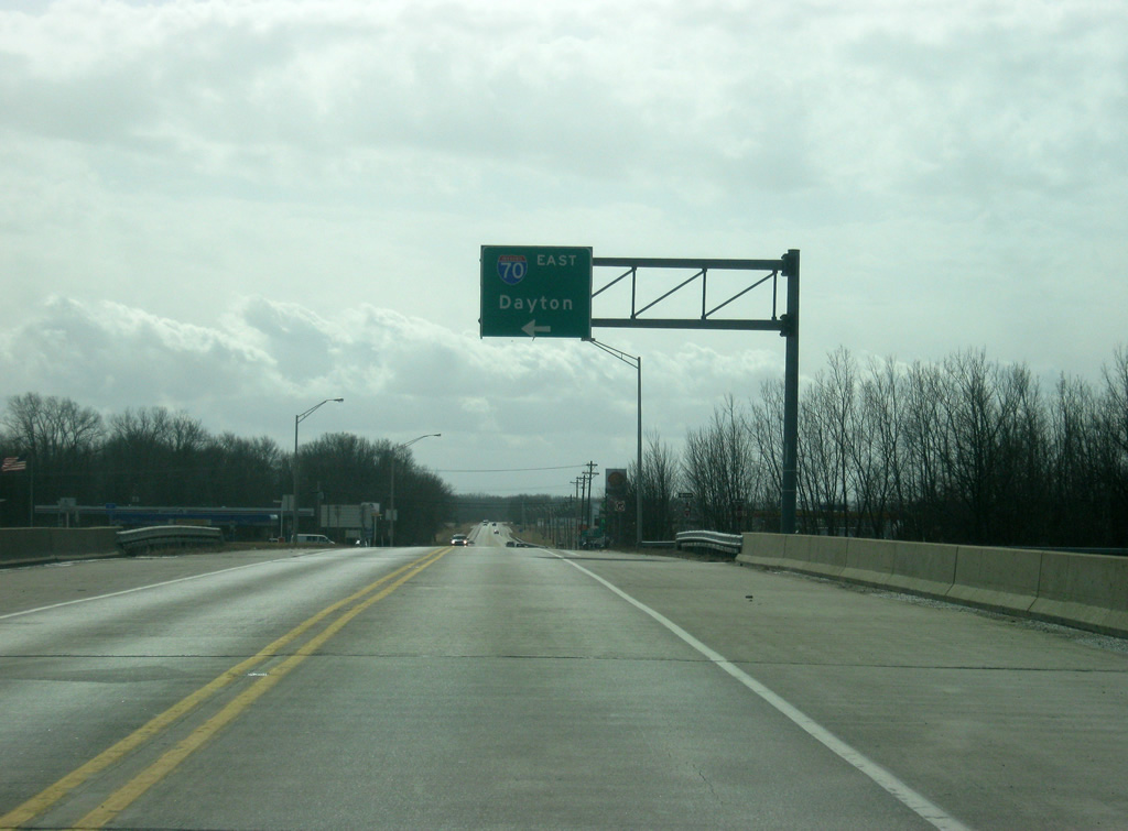
Traffic bound for Interstate 70 east toward Richmond and Dayton, Ohio turn off toward the left on the south side of the diamond interchange.
11/15/10
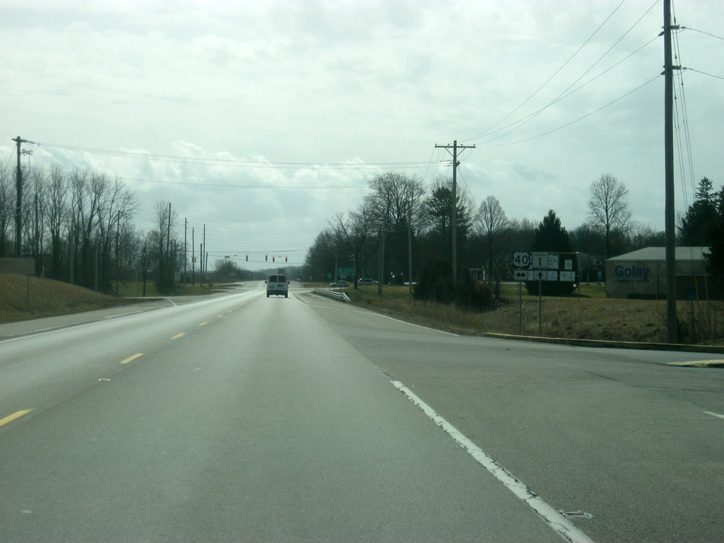
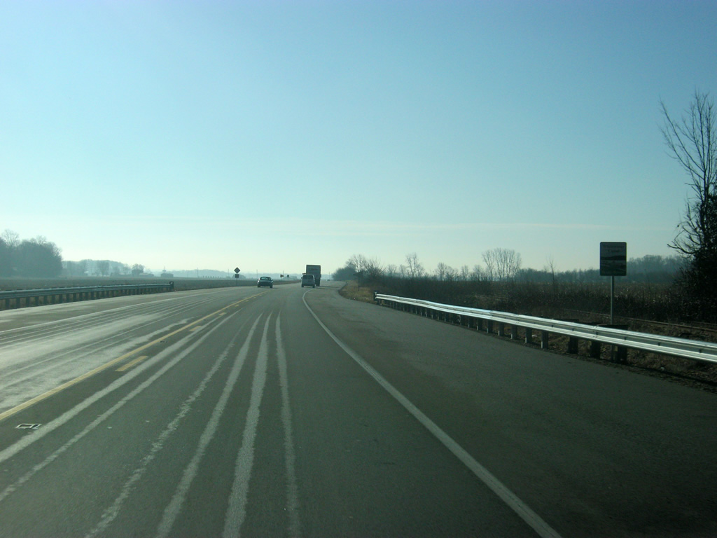
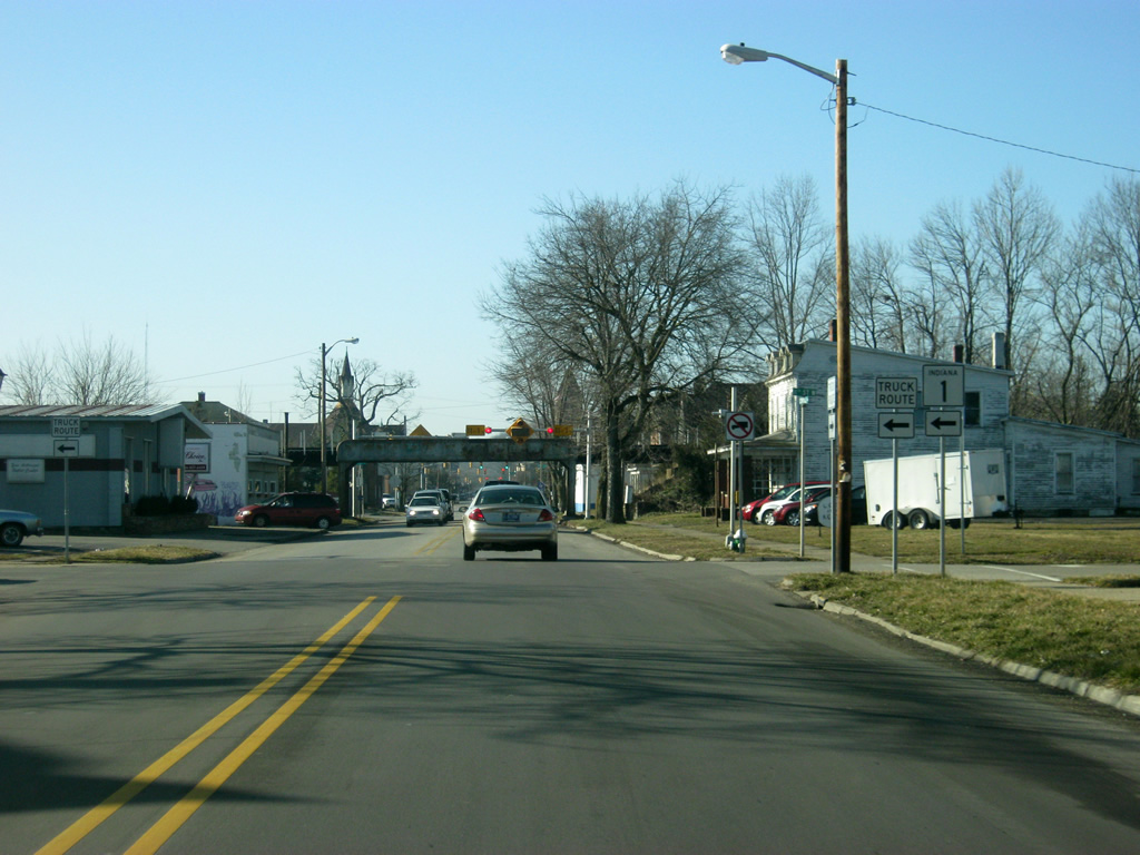
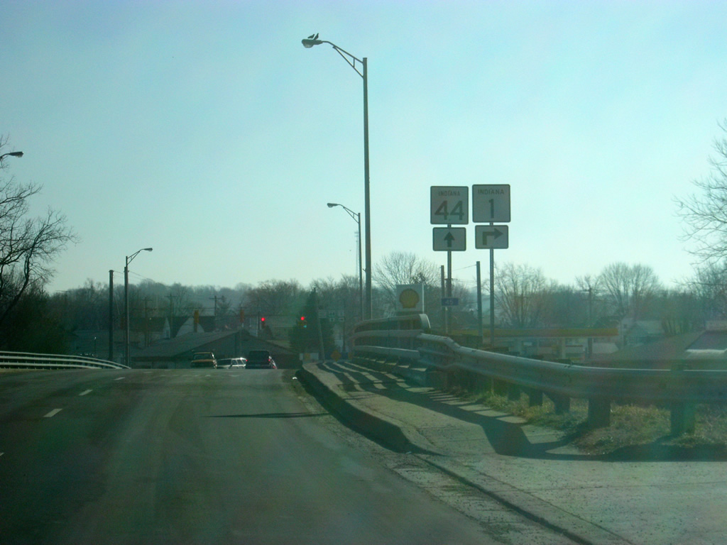
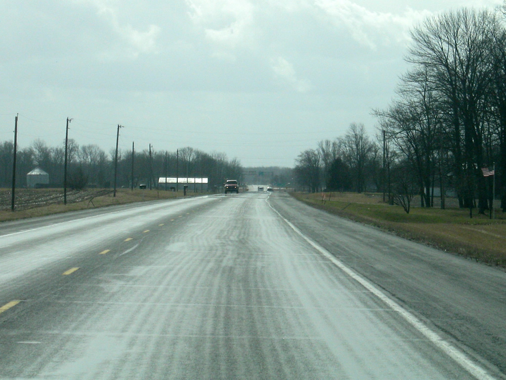
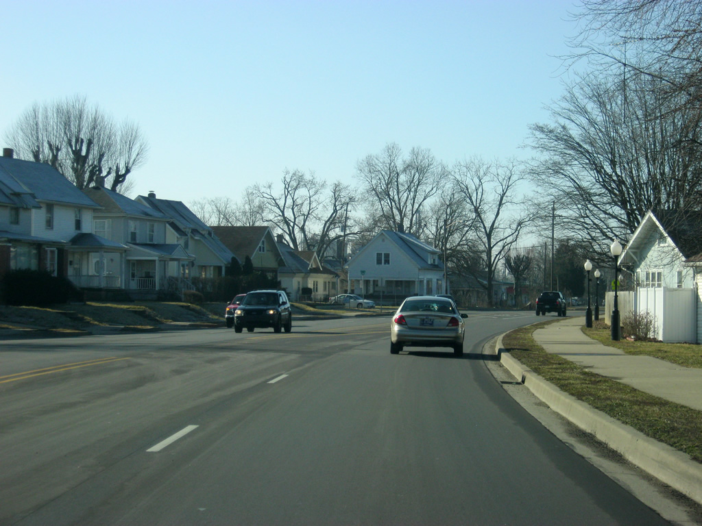
Just south of the Interstate 70 interchange, the first distance sign since SR 218 in Wells County greets SR 1 traffic. Up ahead is Cambridge City at three miles and the Fayette County seat of Connersville at 16 miles.
11/15/10
A view of SR 1 to the south of Interstate 70. South of the interstate, SR 1 carries more traffic as it provides a connection between Connersville and the interstate highway system.
11/15/10
The Whitewater Canal Scenic Byway turns off onto Delaware Street on the north side of Cambridge City, where it will head into the town of Cambridge City (population 1,870) before heading back to SR 1 south of town.
11/15/10
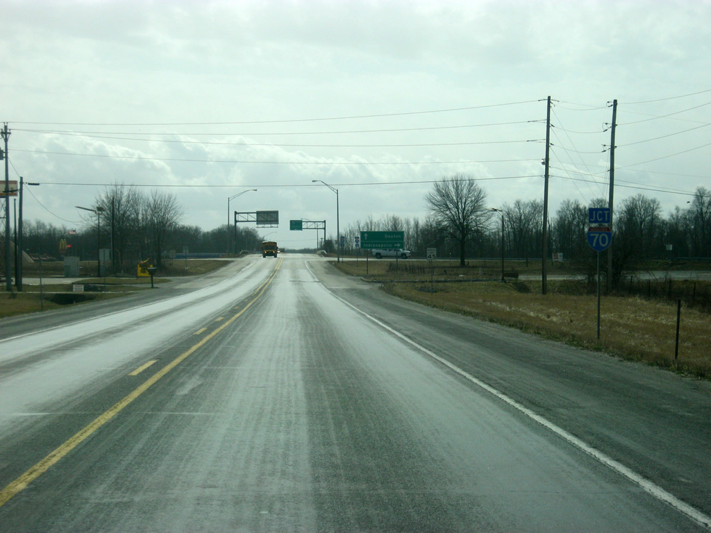
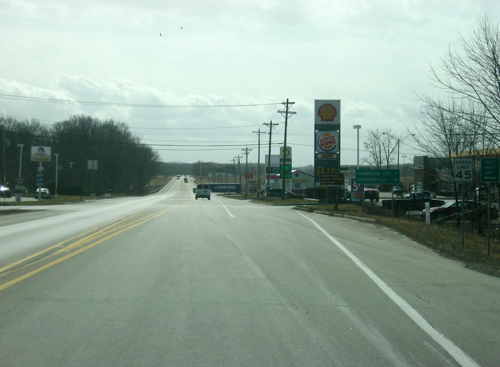
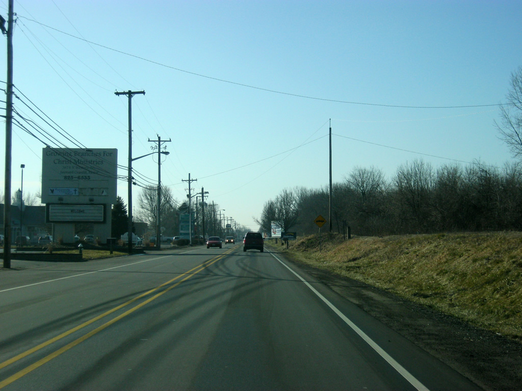
Passing Delaware Street, SR 1 approaches the intersection with U.S. 40, which has also been declared a scenic byway, following the path of Historic National Road across the state of Indiana.
11/15/10
U.S. 40 once traveled from San Francisco, California east to Atlantic City, New Jersey. Today it goes for 2,285.7 miles from Park City, Utah to Atlantic City. In Indiana the highway goes for 144 miles from Terre Haute in the west, through Brazil, Plainfield, Indianapolis, and Greenfield to Richmond in the east.
11/15/10
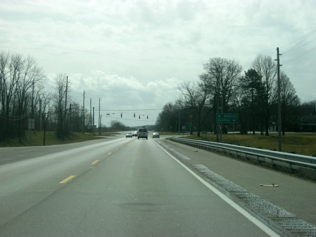
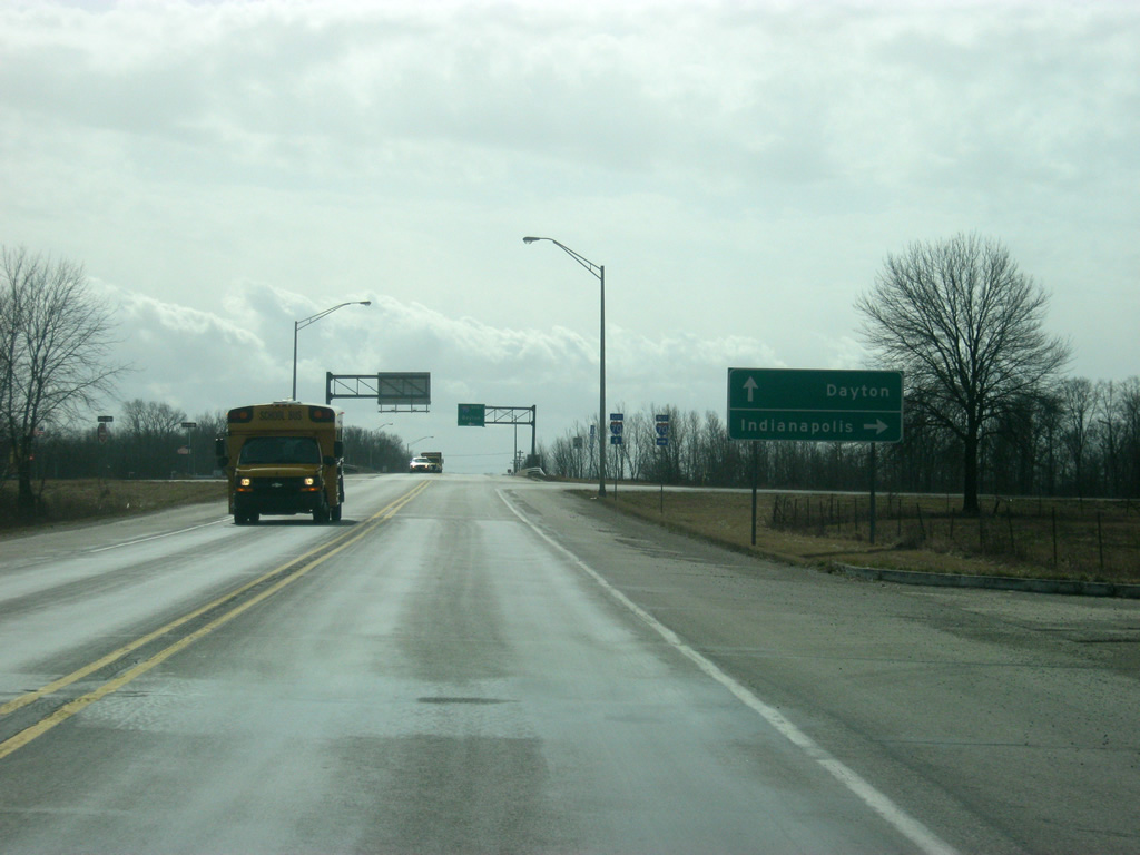
The Hancock County seat of Greenfield is 35 miles to the west along U.S. 40 (Main Street). Richmond is 14 miles to the east.
11/15/10
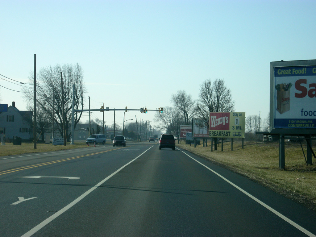
It has been since Bluffton that SR 1 has met a signalized intersection, this one is with U.S. 40, the Historic National Road. U.S. 40 is generally four lanes across Eastern Indiana from Indianapolis to Richmond, with the exception of several towns including Cambridge City where the highway is only two lanes.
11/15/10
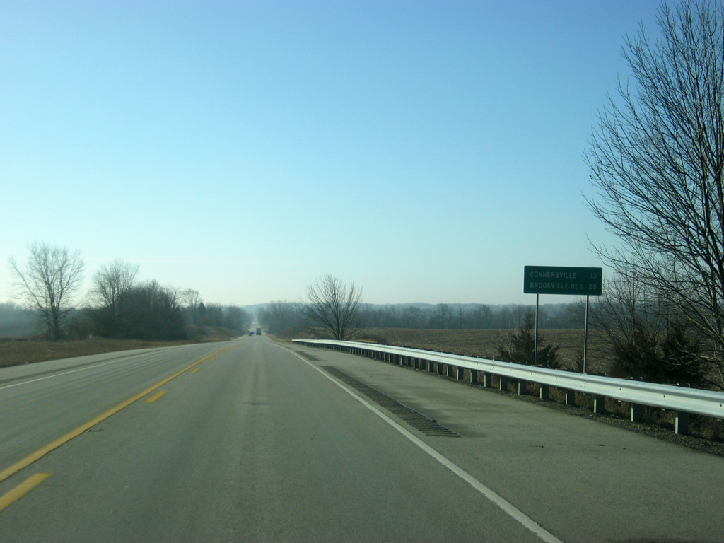
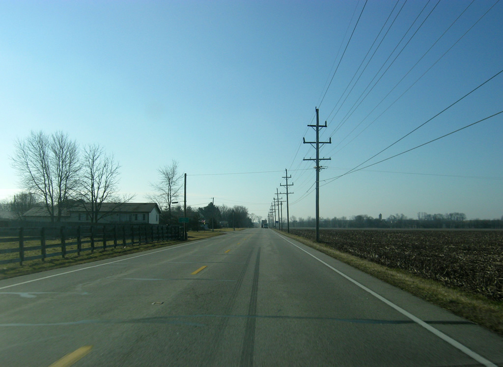
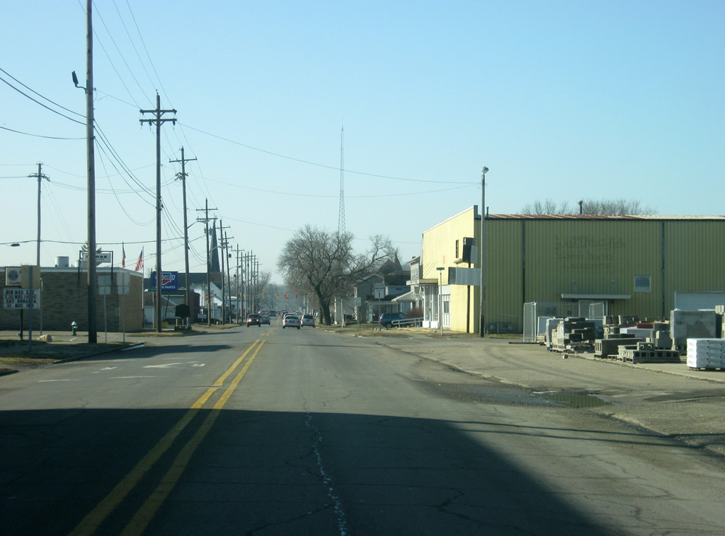
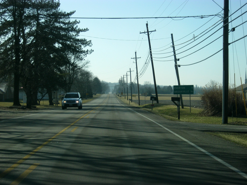
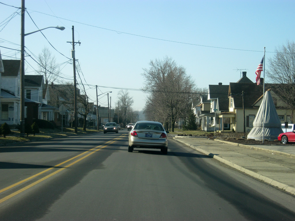
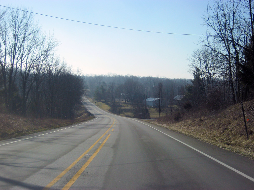
South of U.S. 40 (Main Street), SR 1 is 13 miles from Connersville and 28 miles from Brookville Reservoir.
01/19/12
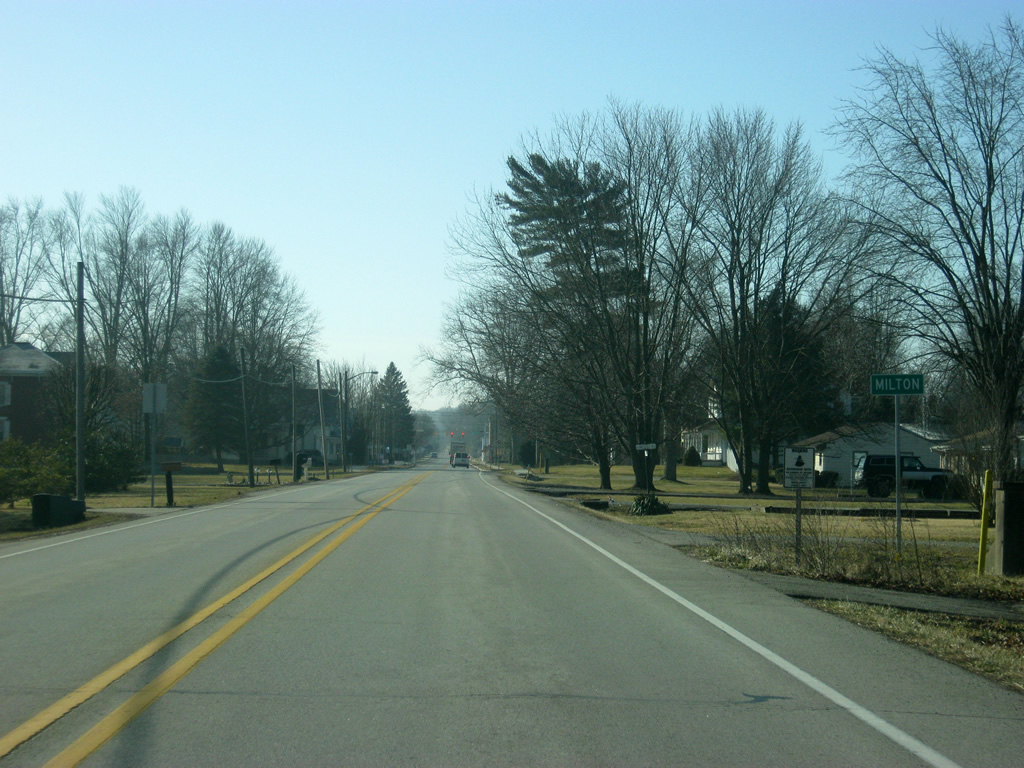
One mile south of U.S. 40, SR 1 enters the town of Milton.
01/19/12
SR 1 follows Central Avenue through the town of Milton, meeting up with Main Street at the only signalized intersection in town.
01/19/12
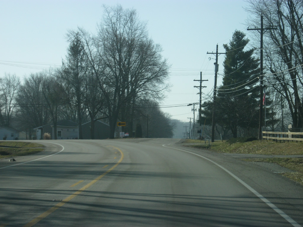
Leaving Milton, SR 1 angles toward the southeast toward the Fayette County line.
01/19/12
A shield designates SR 1 south Milton to Connersville as a part of the Whitewater Canal Scenic Byway.
01/19/12
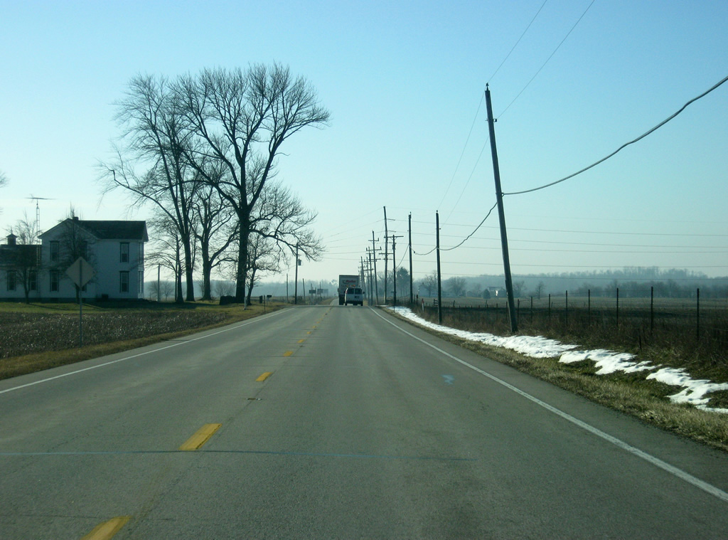
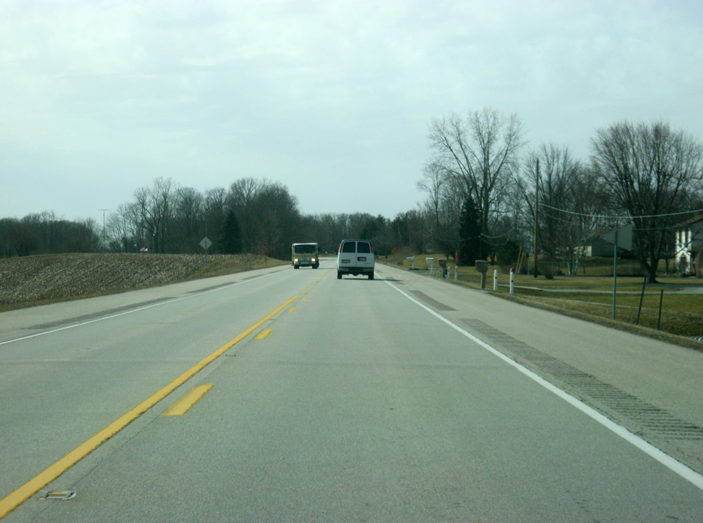
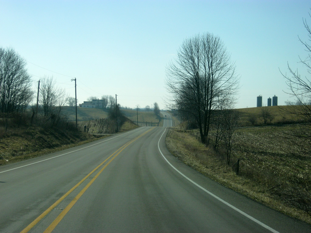
A view of SR 1 as it angles back toward the south in the far southwestern corner of Wayne County.
01/19/12
SR 1 approaches the intersection with Bentonville Road, which leads west toward Bentonville.
01/19/12
Near the crossing into Fayette County, SR 1 crosses the Connersville & New Castle Railroad track.
01/19/12
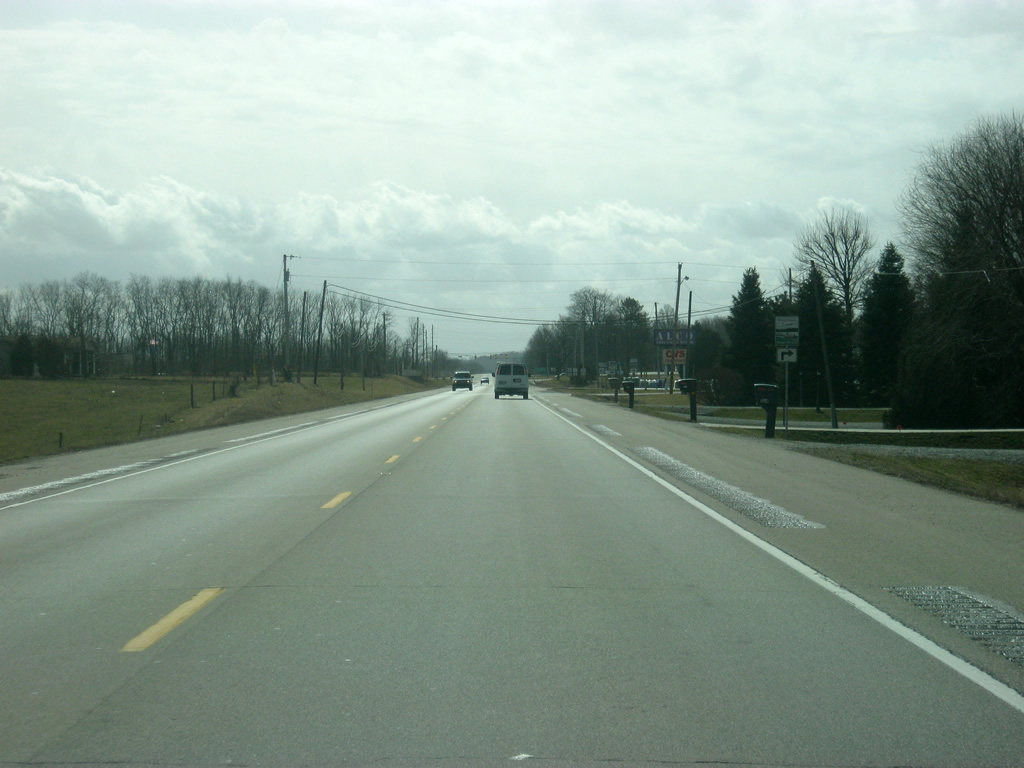
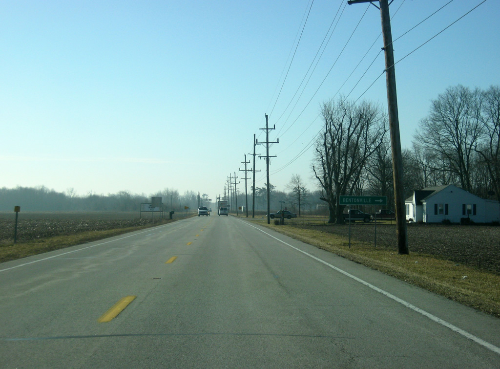
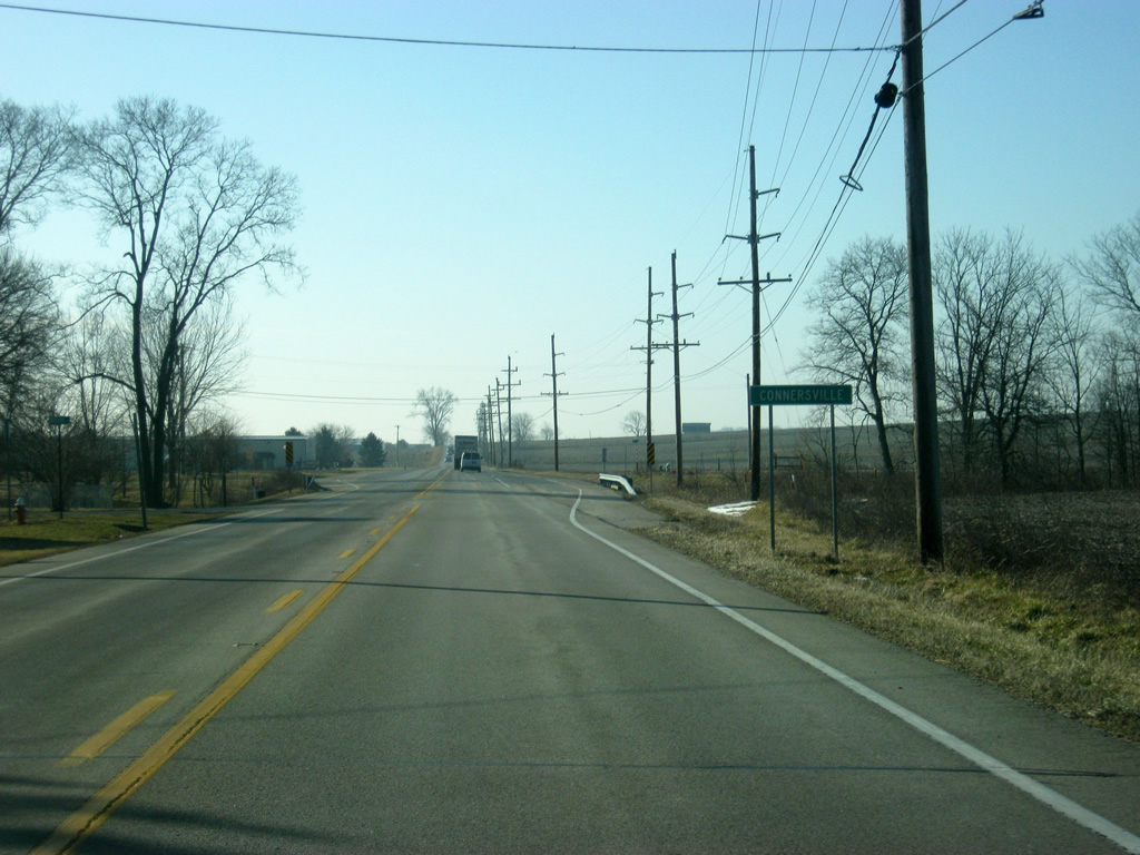
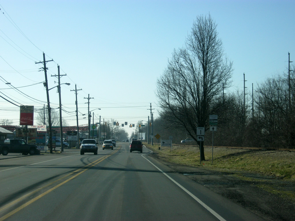
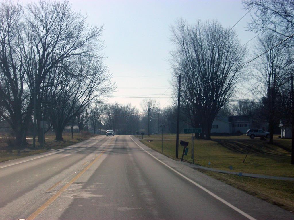
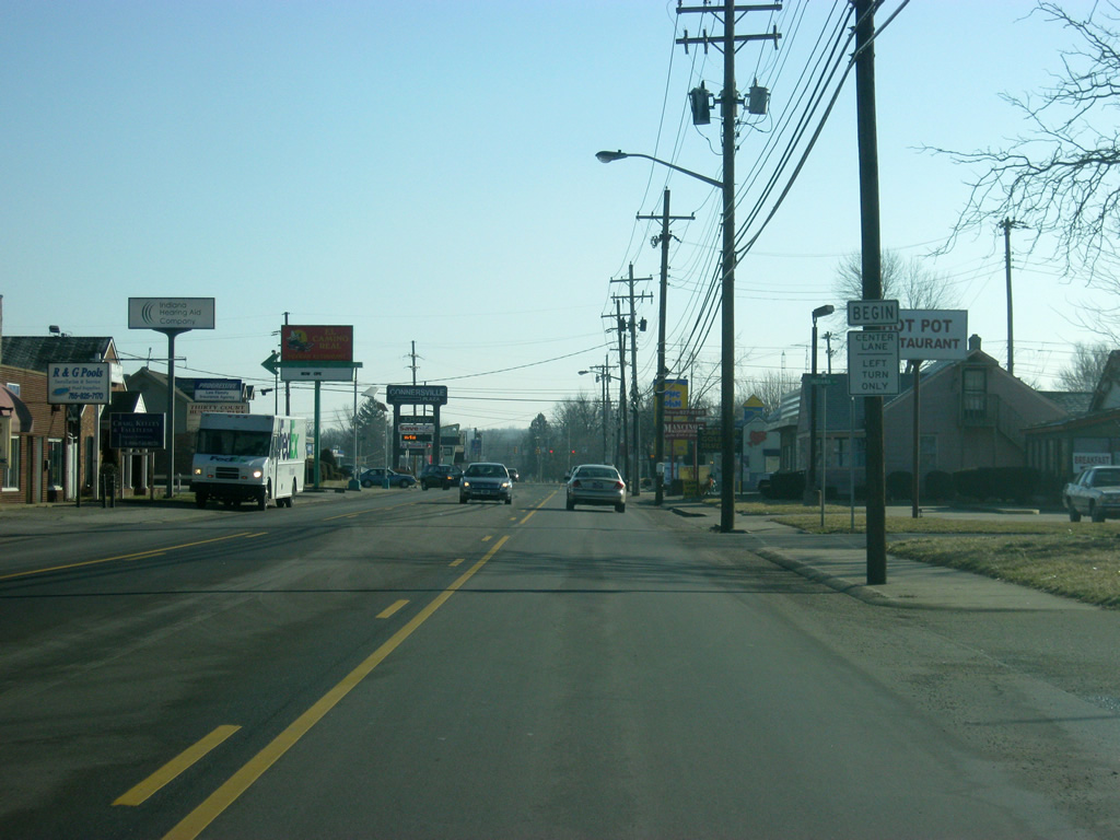
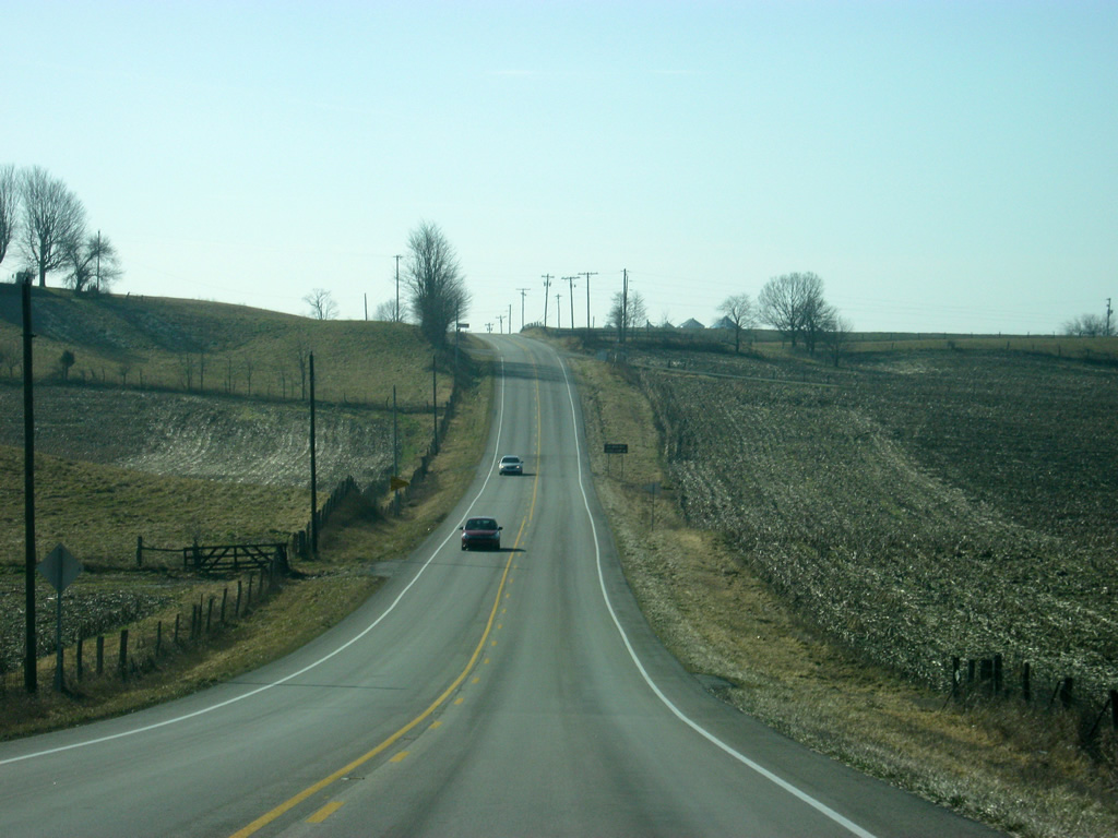
Views of SR 1 near the Fayette County line. Traffic has picked up since U.S. 40 as SR 1 approaches its first community over 10,000 since Bluffton.
01/19/12
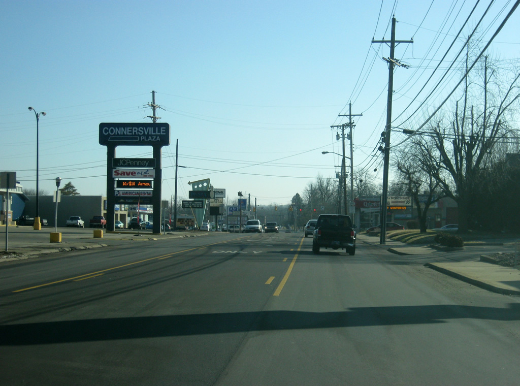
SR 1 enters Fayette County (population 24,277).
01/19/12
Upon crossing into Fayette County, SR 1 enters the county seat of Connersville (population 15,411). Connersville was once host to several automotive companies, giving the town the name "Little Detroit".
01/19/12
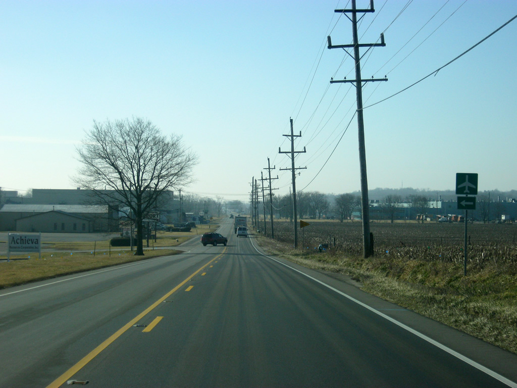
Upon entering Connersville, SR 1 (Western Avenue) passes by the intersection with Airport Drive, which goes to the Connersville Municipal Airport.
01/19/12
Even though the main part of the city is still a few miles to the south, annexations have pushed the city limits of Connersville north along SR 1 (Western Avenue) to the county line. In the second photo, SR 1 (Western Avenue) crosses over the Connersville & New Castle Railroad again.
01/19/12
SR 1 (Western Avenue) passes by a new signalized intersection that serves a relocated Wal-Mart shopping center in the first photo. South of there, SR 1 (Western Avenue) continues toward the 30th Street intersection.
01/19/12
SR 1 (Western Avenue) nears the intersection with 30th Street. SR 1 will head east along 30th Street as the highway begins its "bypass" of Connersville. Western Avenue continues south along the routing of the Whitewater Canal Scenic Byway into the northern residential sides of Connersville. It is been a while, but SR 1 once followed Western Avenue toward the city center. To the west, County Road 200 North heads back into the rural environs of Fayette County.
01/19/12
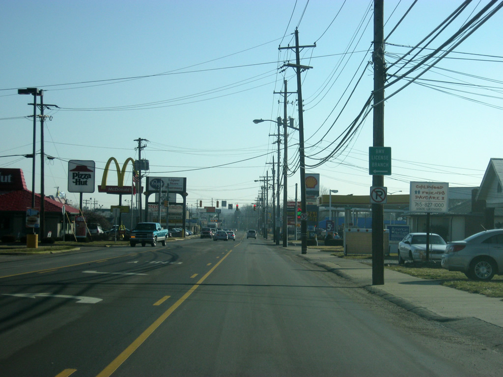
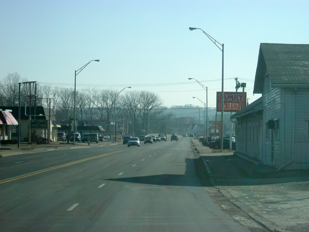
SR 1 follows 30th Street to the east for eight blocks on the north side of Connersville. A variety of retail and business uses have surrounded the corridor serving the people of Connersville and Fayette County.
01/19/12
SR 3 (30th Street) approaches the intersection with Park Road, which the highway will follow to the south. East of the stoplight, 30th Street continues for another couple of blocks before turning toward the northeast as Waterloo Road.
01/19/12
SR 1 (Park Road) bypasses the north side neighborhoods of Connersville as Roberts Park flanks the road to the east (left) while a frontage road serves homes along Central Avenue to the west (right). SR 1 (Park Road) passes by more shopping centers and restaurants including the former Wal-Mart, before it moved up SR 1 to the north.
01/19/12
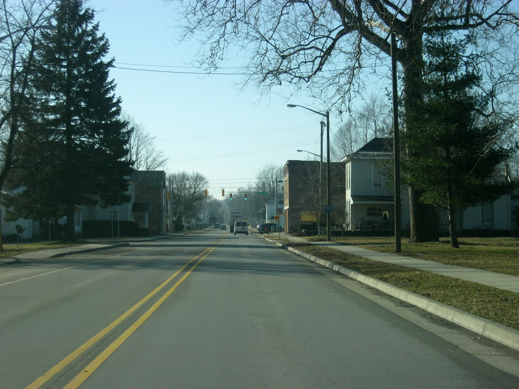
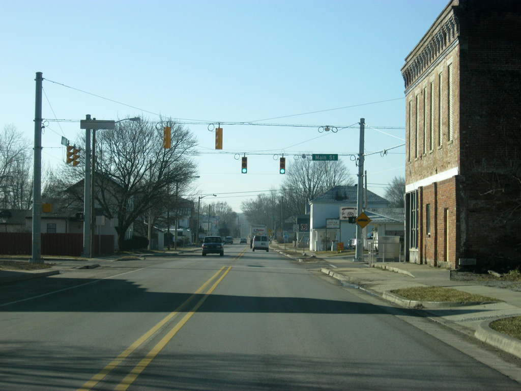
South of the intersection with 19th Street, SR 1 turns toward the southwest where it joins the original grid of Connersville onto Central Avenue. In the process, it goes down to two lanes as the highway enters the heart of Connersville.
01/19/12
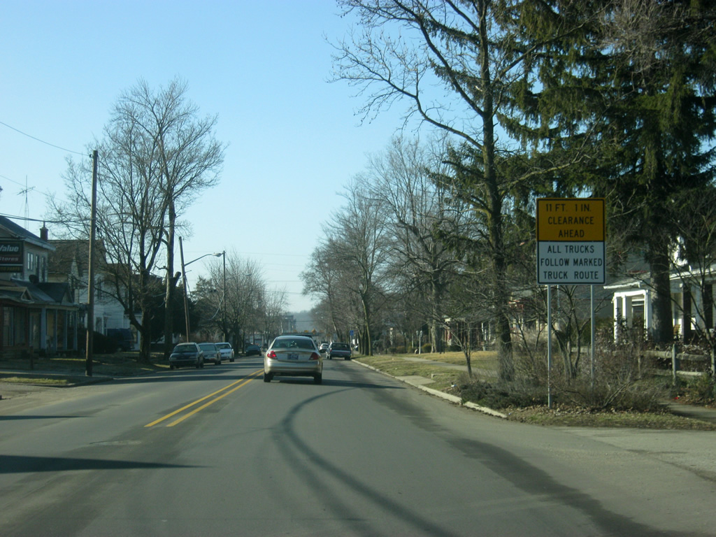
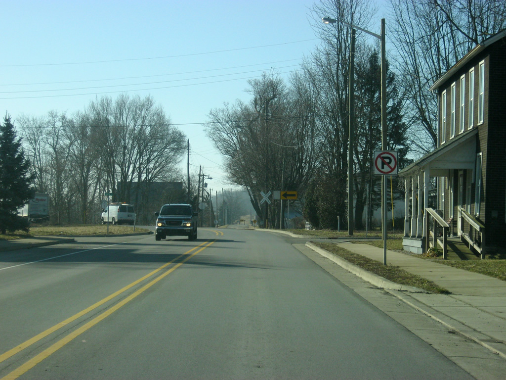
Now heading southwest along Central Avenue, a sign directs thru traffic along SR 1, particularly semi-trucks, to the upcoming railroad overpass over Central Avenue and its height.
01/19/12
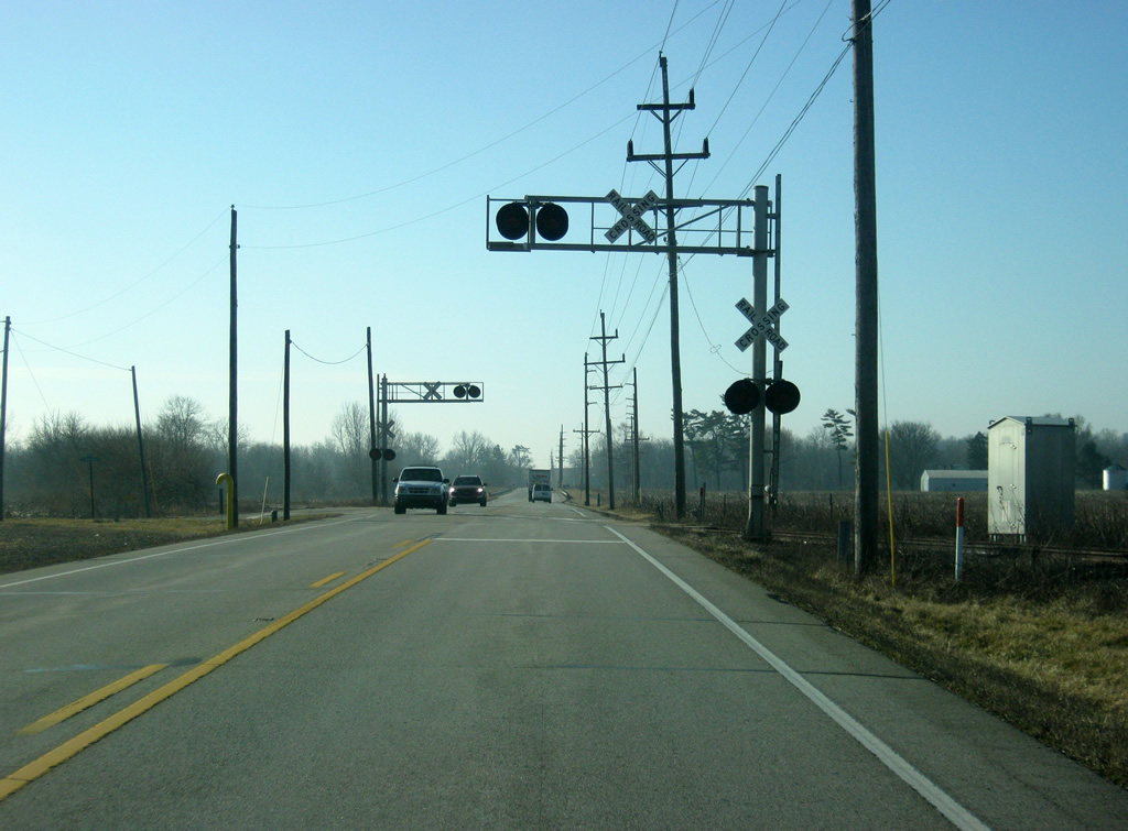
SR 1 will follow 11th Street for one block from Central Avenue to Eastern Avenue as SR 1 will bypass the 11 foot high railroad overpass carrying the CSX Railroad.
01/19/12
SR 1 turns southeast onto 11th Street as Central Avenue continues, along a former routing of SR 1 into Downtown Connersville.
01/19/12
Continuing south along Eastern Avenue beyond the CSX Railroad, which crosses SR 1 (Eastern Avenue) at an at-grade crossing, SR 1 bypasses Downtown Connersville.
01/19/12
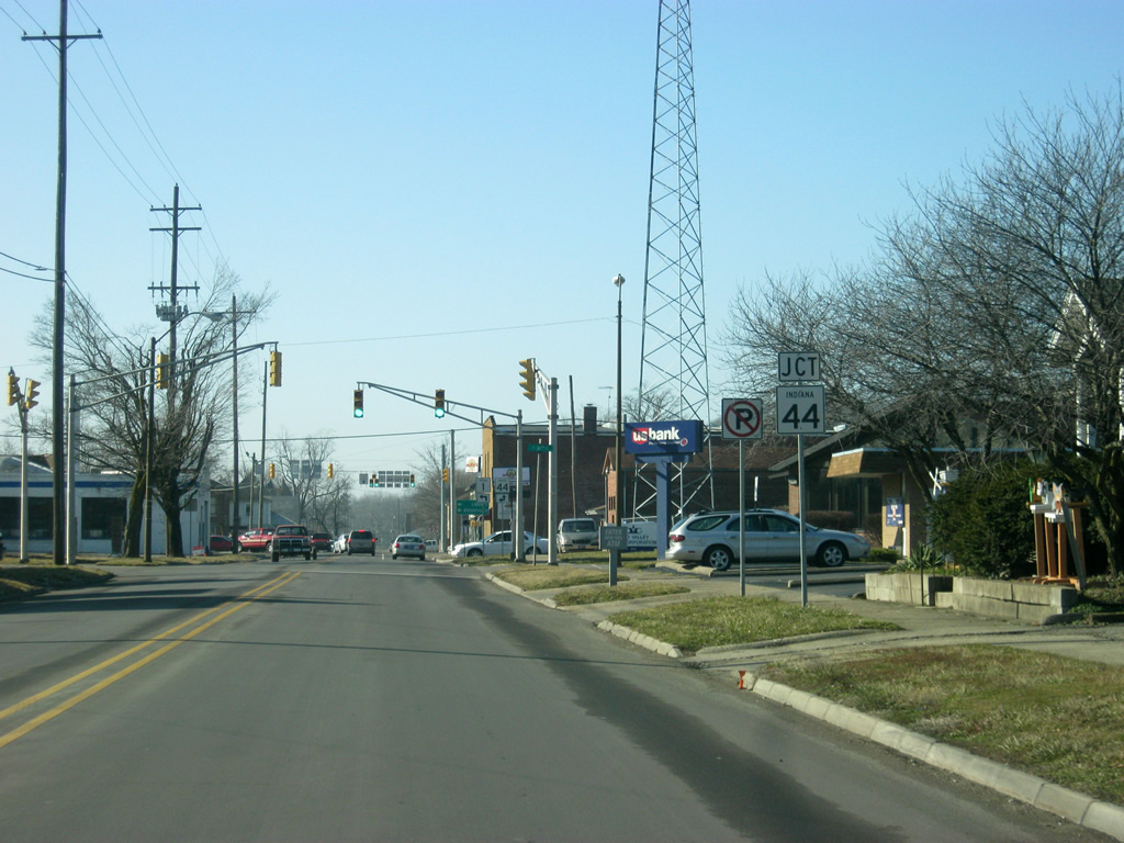
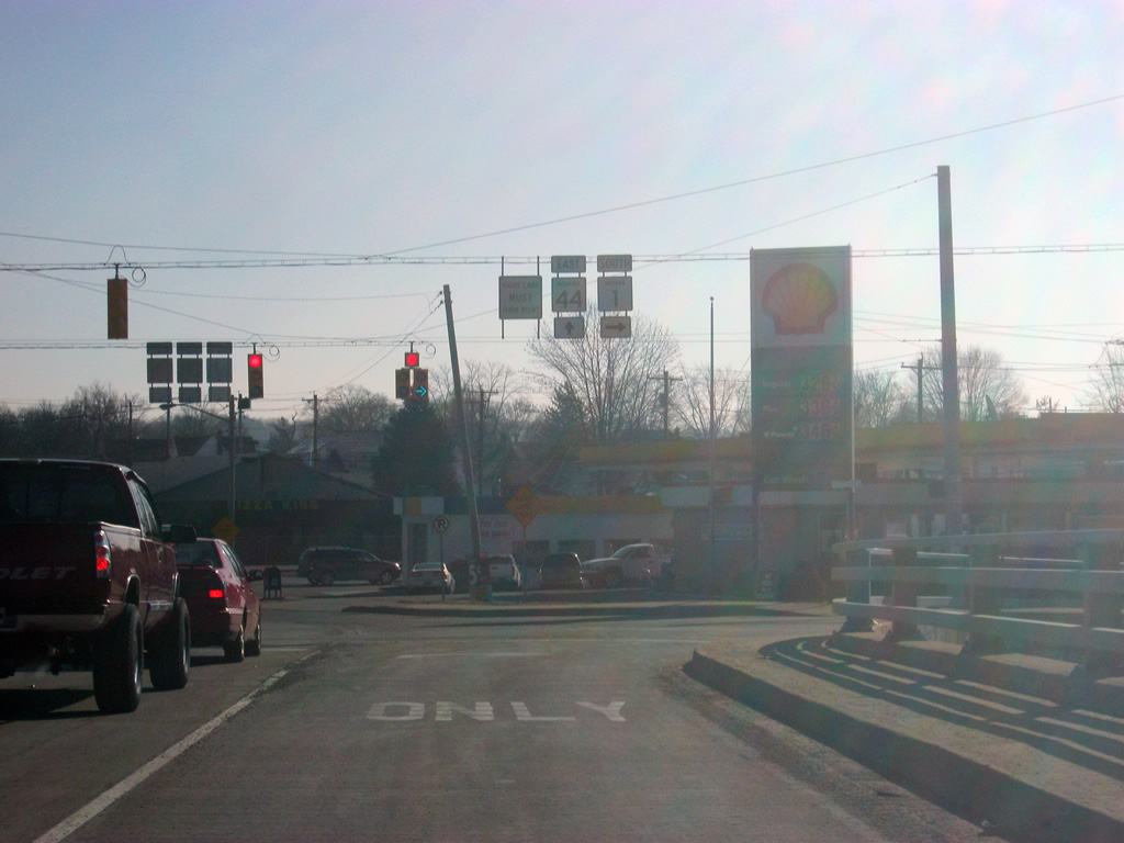
SR 1 (Eastern Avenue) approaches the intersection with SR 44 east (5th Street). SR 44 goes for 90 miles from SR 37 in Martinsville east through Franklin, Shelbyville, Rushville, Connersville and Liberty before leaving at the Ohio border.
01/19/12

At the intersection of Eastern Avenue and 5th Street, SR 1 follows SR 44 to the east. SR 44 east heads toward the Union County seat of Liberty while SR 1 will continue south toward the Franklin County seat of Brookville.
01/19/12
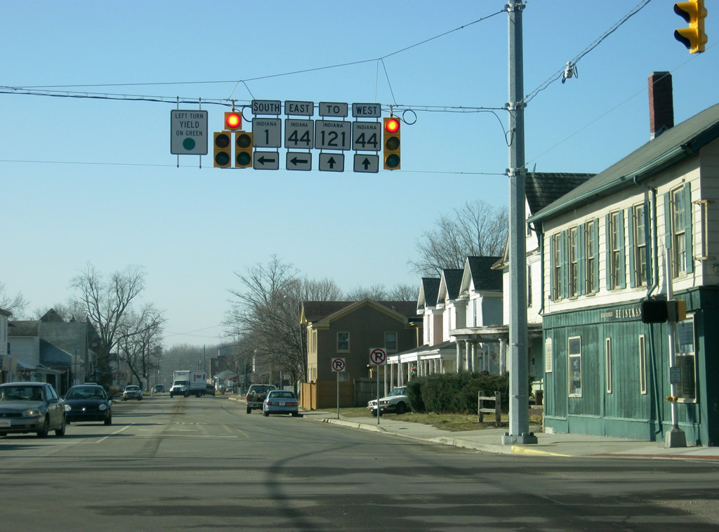
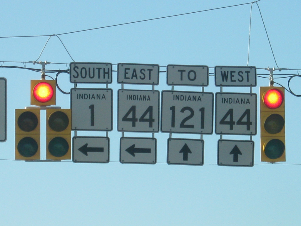
Now at the intersection of Eastern Avenue and 5th Street. SR 1 follows SR 44 east along 5th Street while SR 44 continues toward the west along Eastern Avenue toward 3rd Street. SR 44 will then follow 3rd Street to the west toward Rushville. SR 121, a 15.3 mile that goes from Connersville south to U.S. 52 along the Whitewater Canal Scenic Byway connects with SR 44 west at the intersection of 3rd Street and Grand Avenue. The second picture shows a close-up of the shields for SR 1, SR 44 and SR 121.
01/19/12
East of the intersection with Eastern Avenue, SR 1 south & 44 east (5th Street) head east from Downtown Connersville toward the crossing over the Whitewater River.
01/19/12
We now near the junction where SR 1 heads south from SR 44 (5th Street) as the two highways cross over the Whitewater River.
01/19/12
The right lane becomes a turn lane onto SR 1 south (Vine Street). SR 44 (5th Street) continues to the east on its 11 mile journey to Liberty in Union County.
01/19/12
South of SR 44 east (5th Street), SR 1 (Vine Street) heads south through the southeastern part of Connersville.
01/19/12
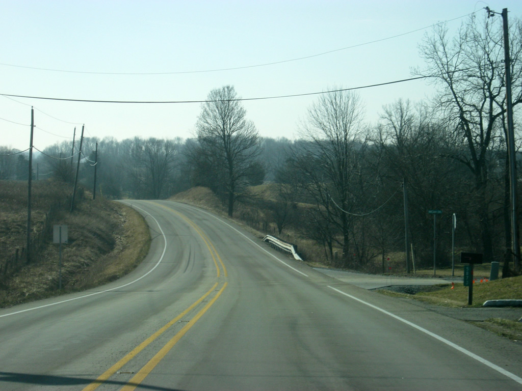
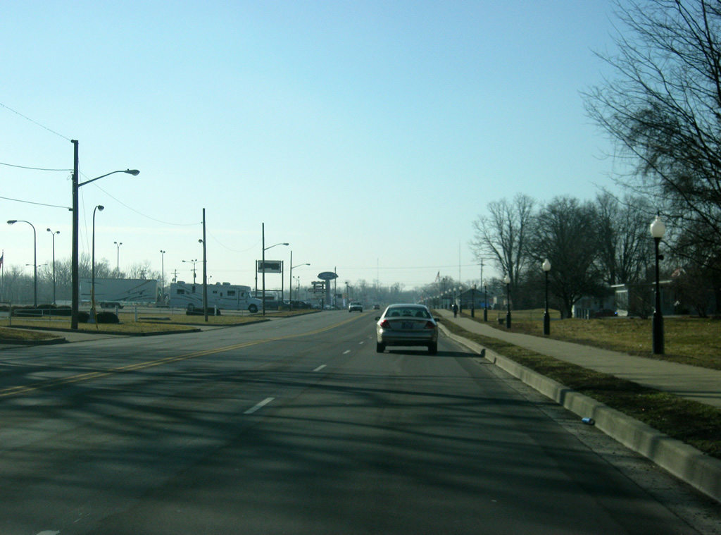
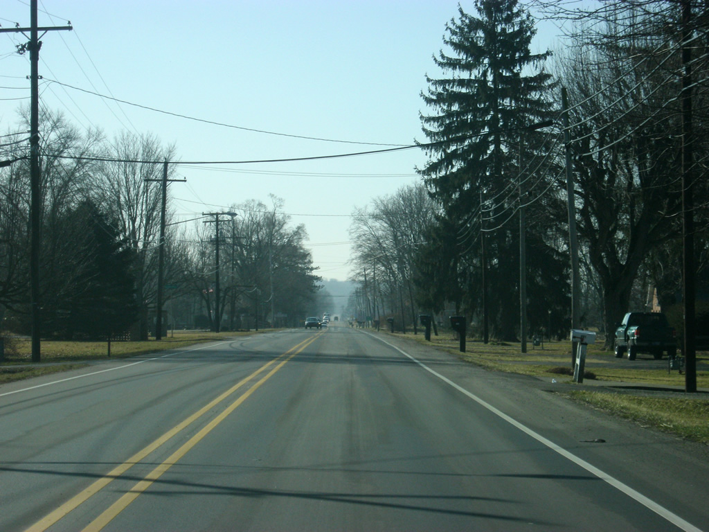
Now leaving Connersville, the next town along SR 1 is Everton at five miles. Brookville is 16 miles away in Franklin County.
01/19/12
South of Connersville, SR 1 curves toward the southeast as it trades in the flat terrain of Central Indiana for the hills of the Whitewater River Valley. The valley was carved out by receding glaciers that had covered northern and central Indiana and had left the southern part untouched. Flooding of the valley carved out a deeper region around the Whitewater River.
01/19/12
In southeastern Fayette County, SR 1 enters the town of Everton.
01/19/12
SR 1 passes by the intersection with Everton Road in the center of town.
01/19/12
SR 1 makes a turn toward the south from the town of Everton.
01/19/12
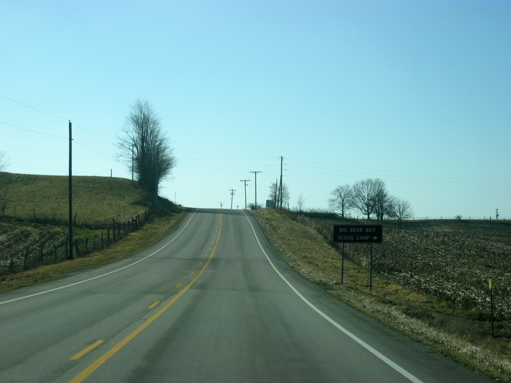
SR 1 passes the intersection with Big Bear Road, which leads to Camp Bear Creek, erroneously called Big Bear Boy Scout Camp.
01/19/12
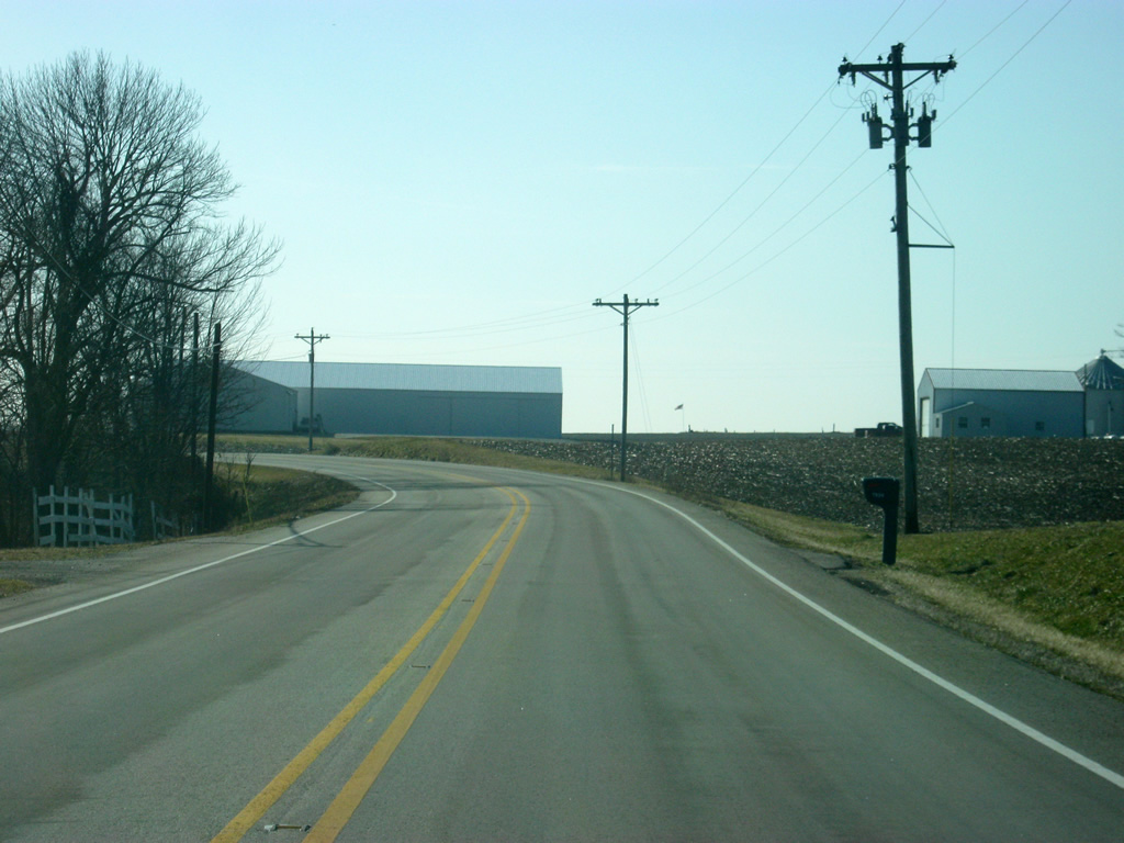
South of Big Bear Road, SR 1 heads south into Franklin County (population 23,087).
01/19/12


Photo Credits:
- Thomas Decker: 11/15/10, 01/19/12
Connect with:
Page Updated Monday August 18, 2014.