
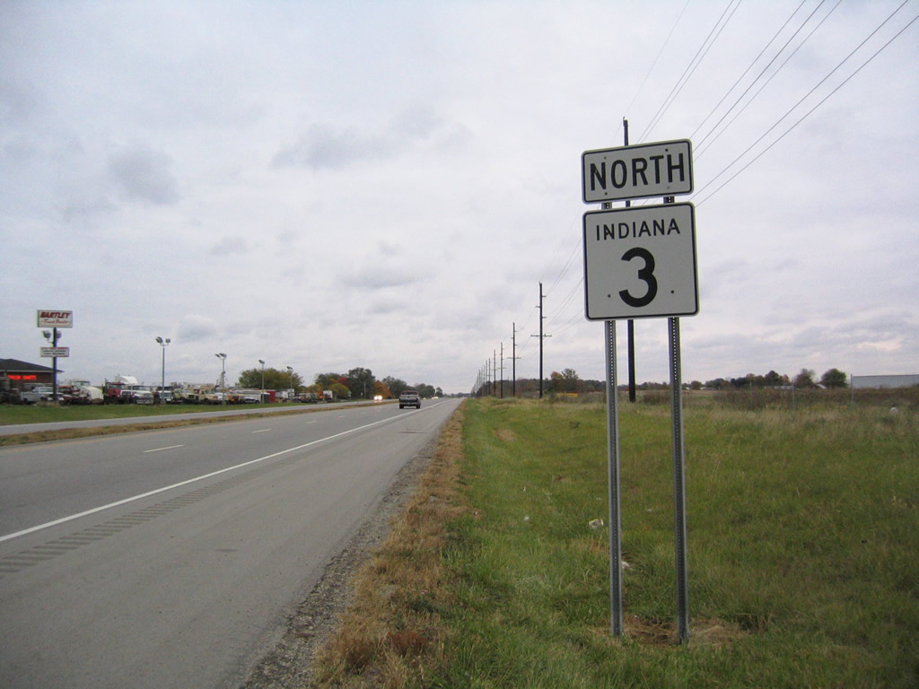
State Road 3 North - Dunreith to Muncie
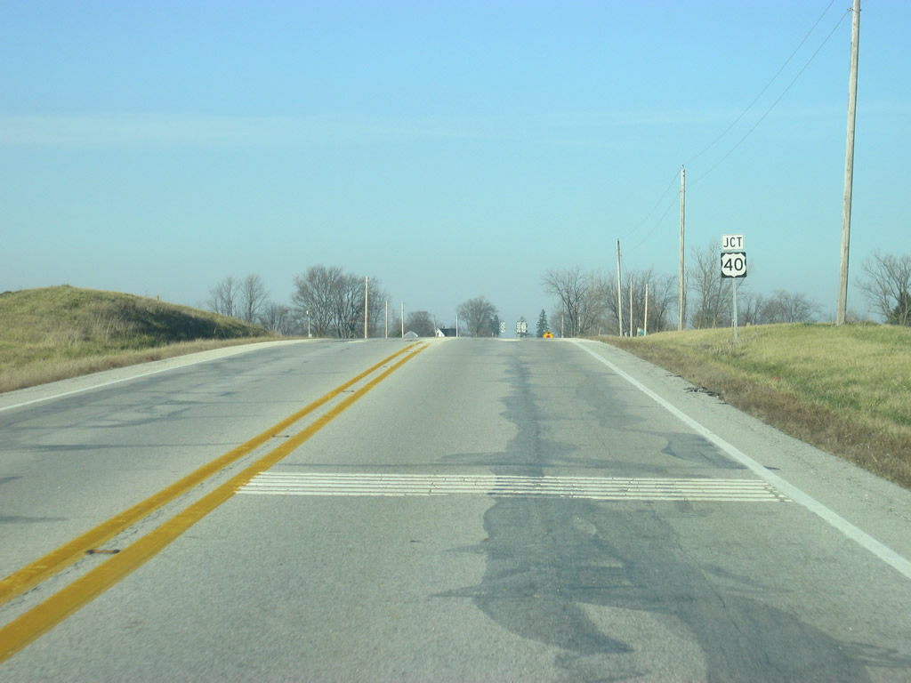
One mile north into Henry County, SR 3 meets the historic National Road, U.S. 40. U.S. 40 once traveled from San Francisco, California east to Atlantic City, New Jersey. Today it goes for 2,285.7 miles from Park City, Utah to Atlantic City.
12/18/11
U.S. 40 travels the Hoosier State for 144 miles from Terre Haute in the west, through Brazil, Plainfield, Indianapolis, Greenfield, Dunreith here and Richmond in the east.
12/18/11
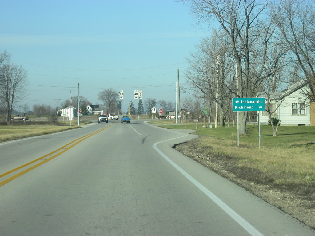
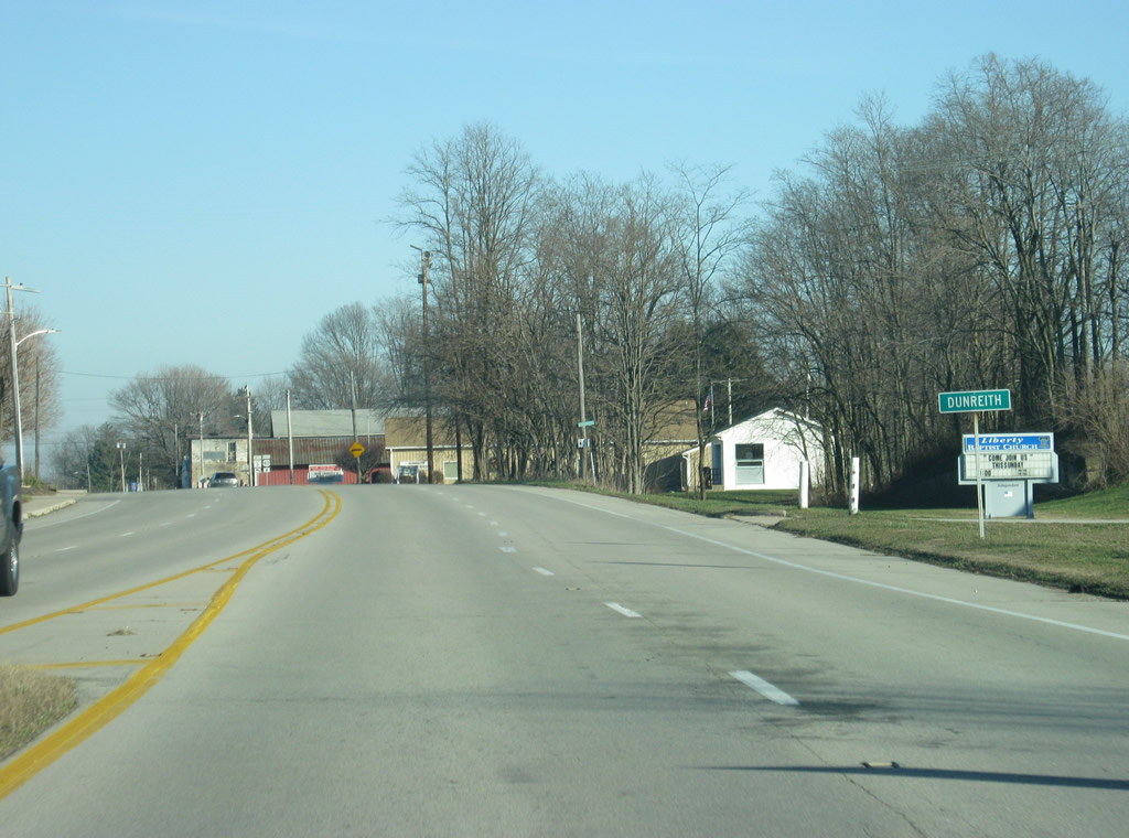
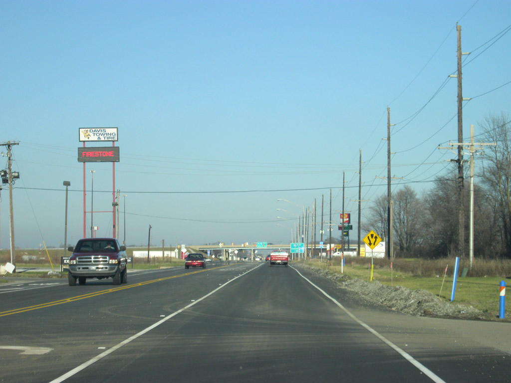
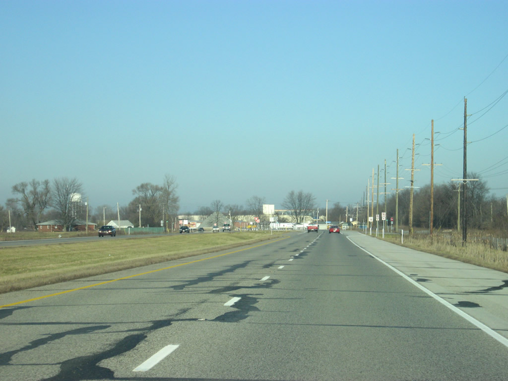
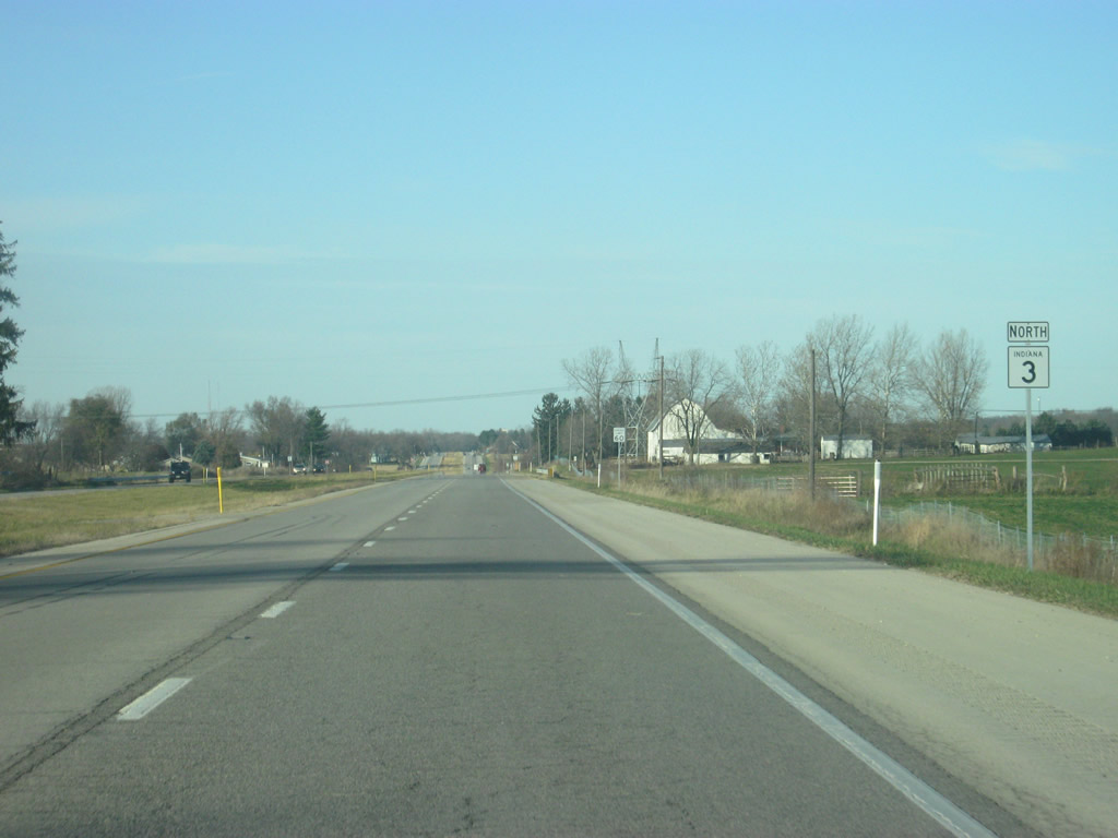
SR 3 joins U.S. 40 east through the town of Dunreith. Prior to the mid-2000s, SR 3 actually went over U.S. 40 along a westerly bypass of Dunreith. The bypass, deemed no longer necessary, was removed and SR 3 was rerouted onto U.S. 40 town. All elements of the former alignment were removed.
12/18/11
 East
East 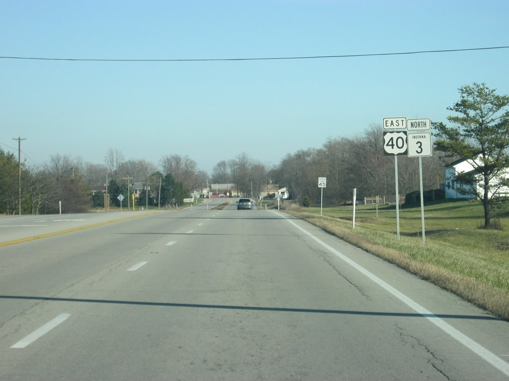
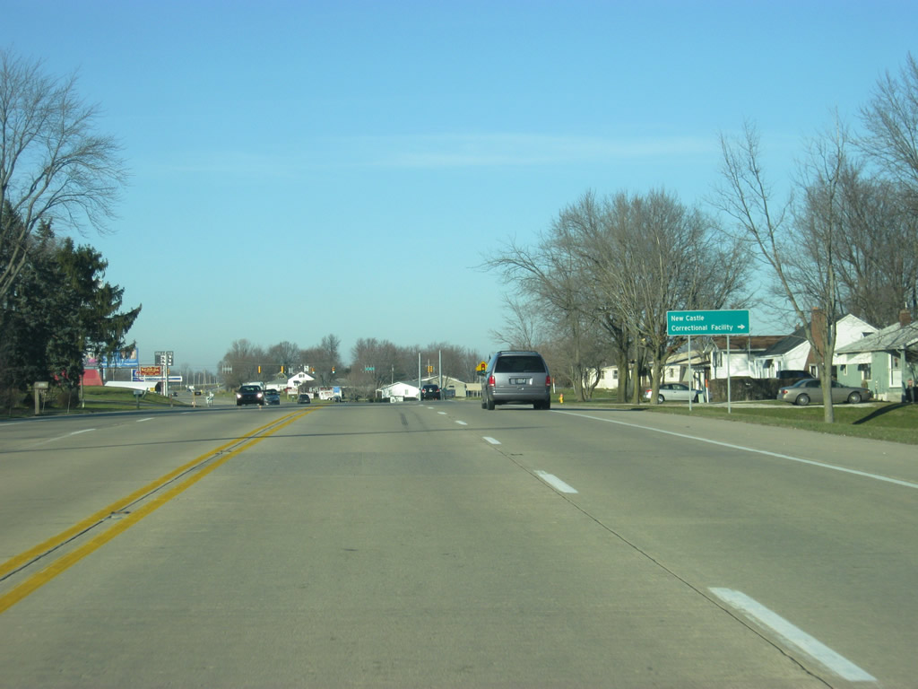
U.S. 40 (Historic National Road) east & SR 3 share approximately one mile of pavement through Dunreith.
12/18/11
U.S. 40 is a four lane highway for most of its trek across Indiana, a vestige from the time before Interstate 70. Outside of towns, the highway is divided but inside of towns it becomes undivided. Here, SR 3 & U.S. 40 (Historic National Road) enter Dunreith.
12/18/11
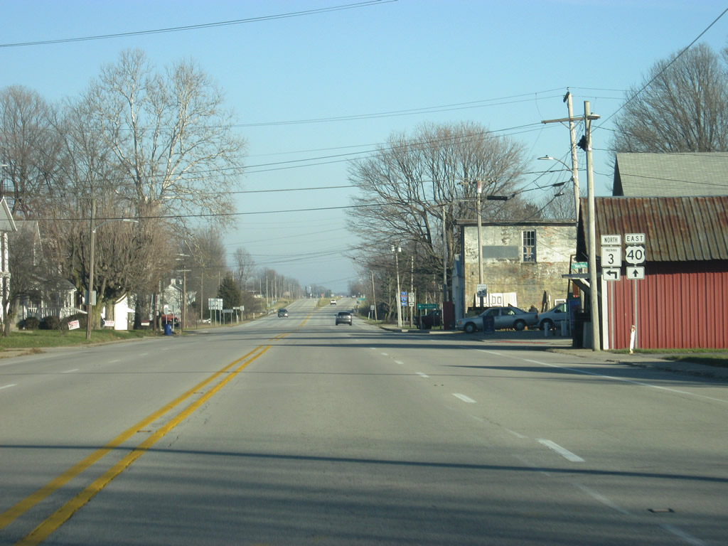
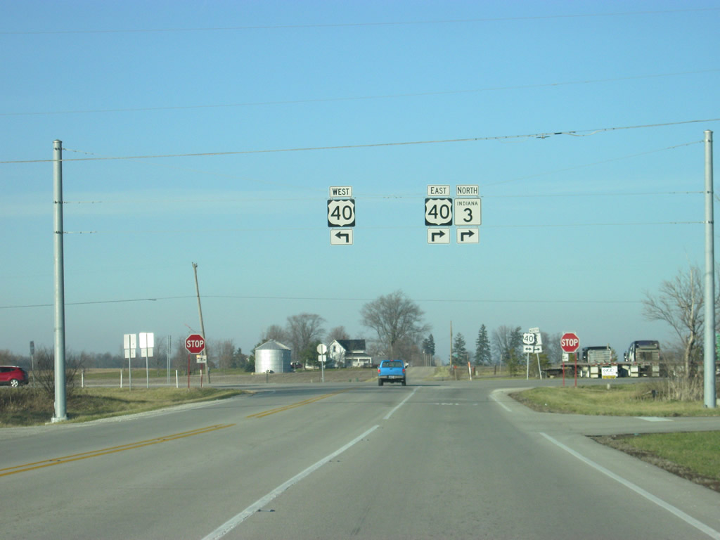
A short distance within town, it is already time for SR 3 to leave U.S. 40 (Historic National Road).
12/18/11
No turn lane is provided for traffic turning north onto SR 3 toward Interstate 70 and New Castle.
12/18/11
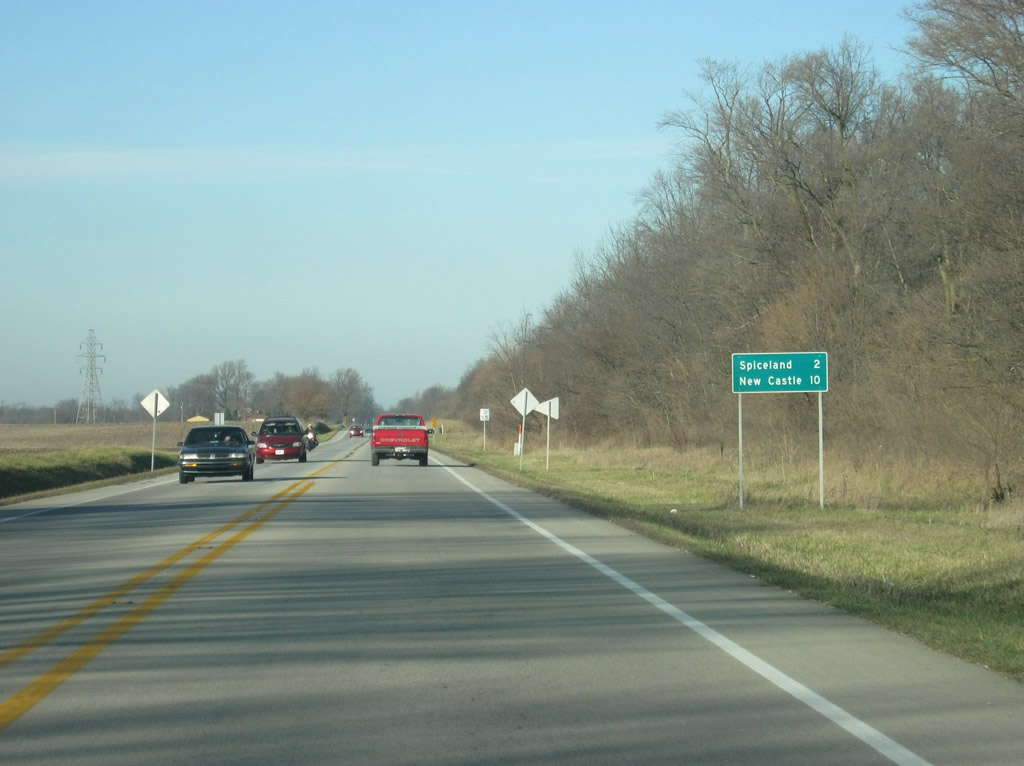
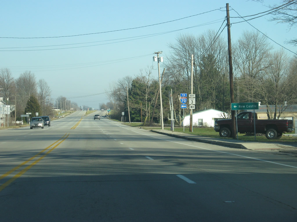
Back on the mainline SR 3 north of Dunreith, the town of Spiceland is two miles away while New Castle is 10 miles up the road.
12/18/11
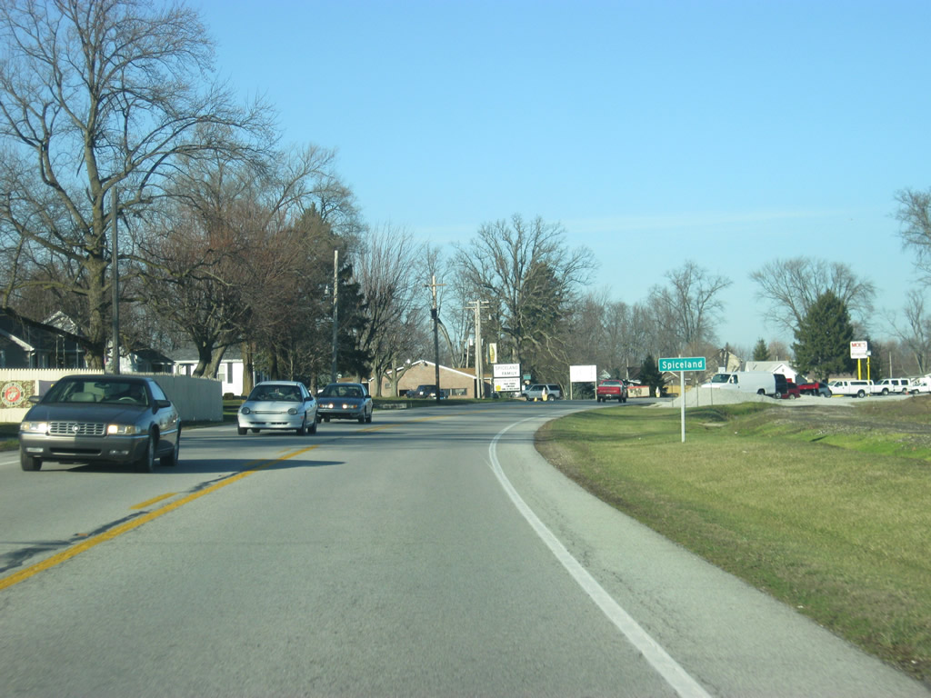
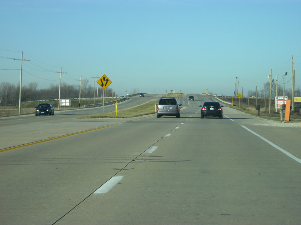
SR 3 winds its way back toward the northeast as it bypasses the main part of Spiceland to the east.
12/18/11
Still, traffic must slow down through Spiceland as SR 3 heads off toward the interstate.
12/18/11
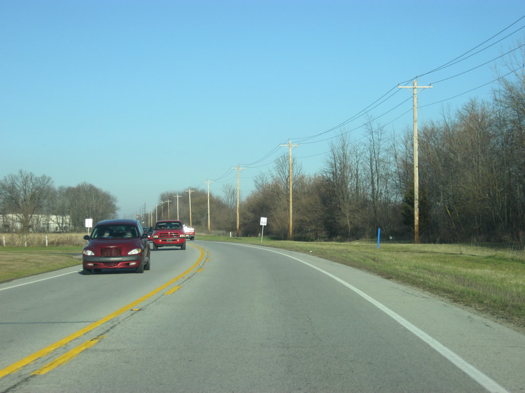
SR 3 resumes a northeasterly trajectory from Spiceland toward Interstate 70 and New Castle.
12/18/11
Approaching the interchange with Interstate 70, SR 3 becomes a divided highway.
12/18/11
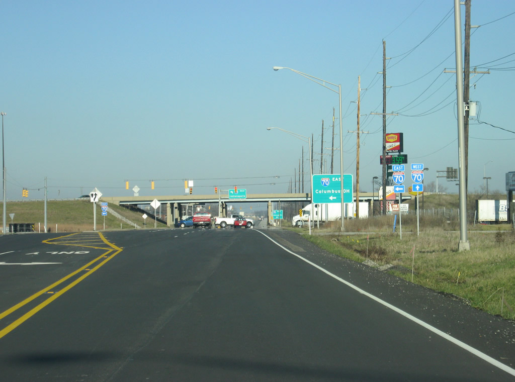
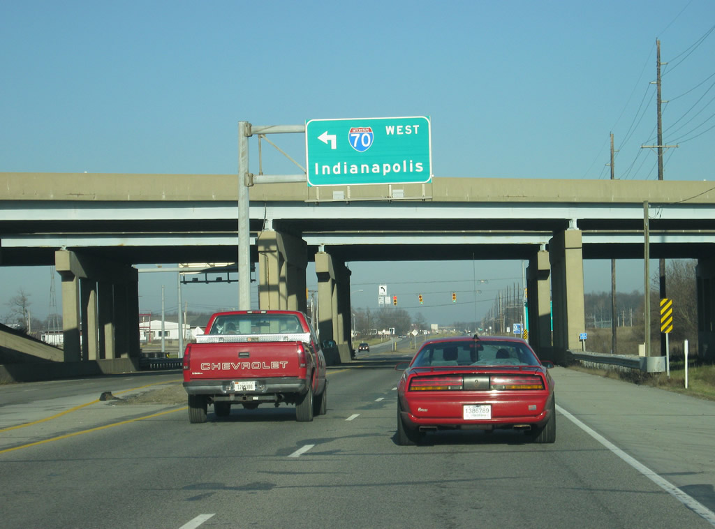
SR 3 expands to four lanes at the folded diamond interchange with I-70. Interstate 70 travels from Cove Fort, Utah to Baltimore, Maryland for 2,153 miles. In Indiana, the highway goes for 156 miles from Terre Haute east through Indianapolis and east toward Richmond.
12/18/11

The first stoplight at the Interstate 70 interchange serves a truck stop to the right and the ramp to Interstate 70 eastbound which heads toward Richmond, Dayton and Columbus, Ohio. The signage here still uses the older control city of Columbus for eastbound Interstate 70.
12/18/11
Beyond the Interstate 70 overpass, a stoplight serves traffic heading west on Interstate 70 toward Greenfield and Indianapolis.
12/18/11
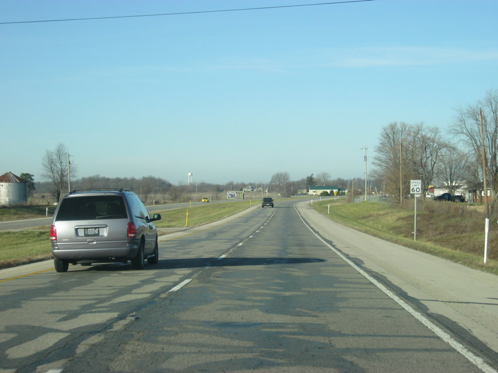
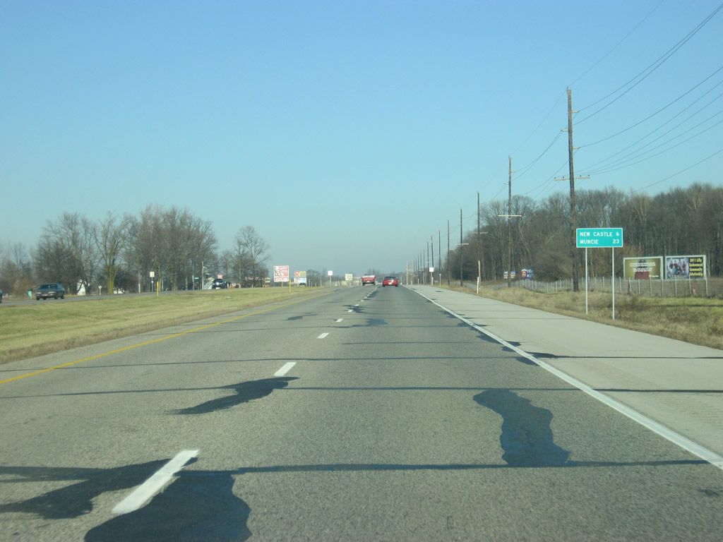
North of the Interstate 70 interchange, SR 3 is a four lane expressway that leads to New Castle (now 6 miles away) and Muncie (23 miles away).
10/16/04
12/18/11
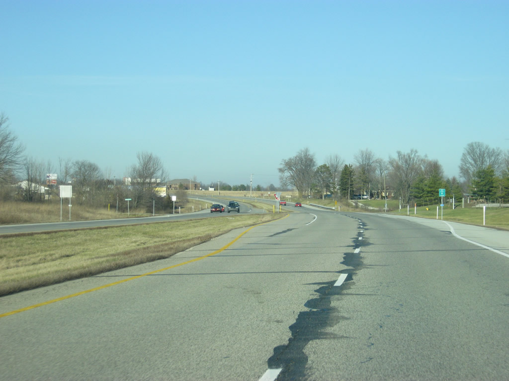
Only a few miles of rural lands separate the southern edge of New Castle from Interstate 70. The SR 3 expressway gets well-used from New Castle to the interstate, connecting the Henry County seat with Indianapolis.
12/18/11
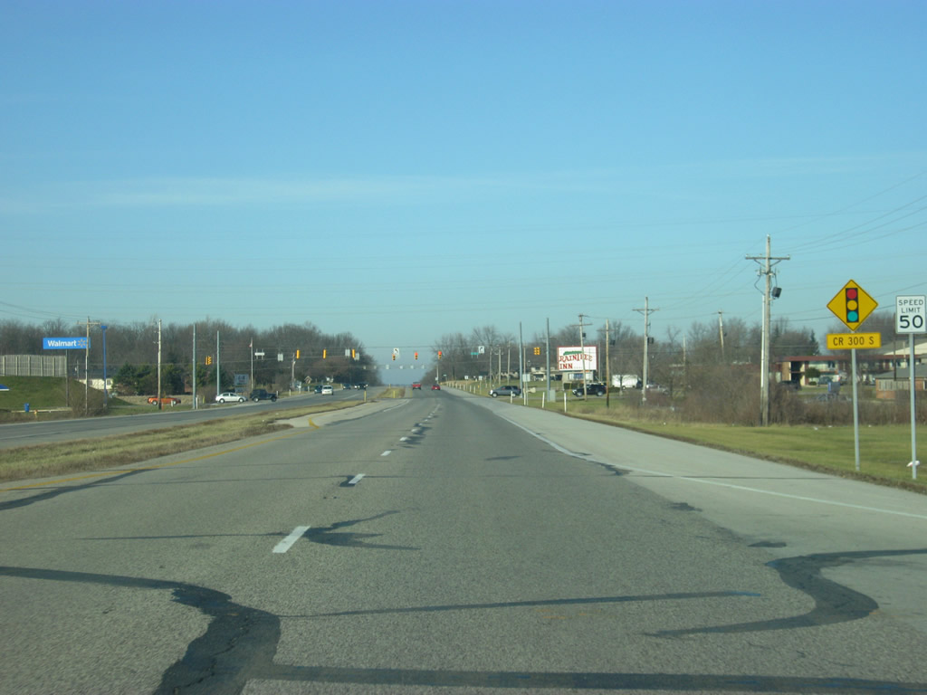
SR 3 passes by the New Castle-Henry County Industrial Park and approaches the stoplight intersection with County Road 300 South, serving a Wal-Mart shopping center.
12/18/11
North of County Road 300 South, SR 3 becomes undivided but remains a wide highway with three lanes carrying northbound traffic and two carrying southbound traffic along with a center turn lane. In town, the highway is known as Memorial Drive.
12/18/11

The next stoplight intersection along SR 3 (Memorial Drive) is with Riley Road.
12/18/11
Now on the south side of New Castle, SR 3 (Memorial Drive) meets Riley Road, a major east-west road that heads west to Westwood Lake and Park.
12/18/11
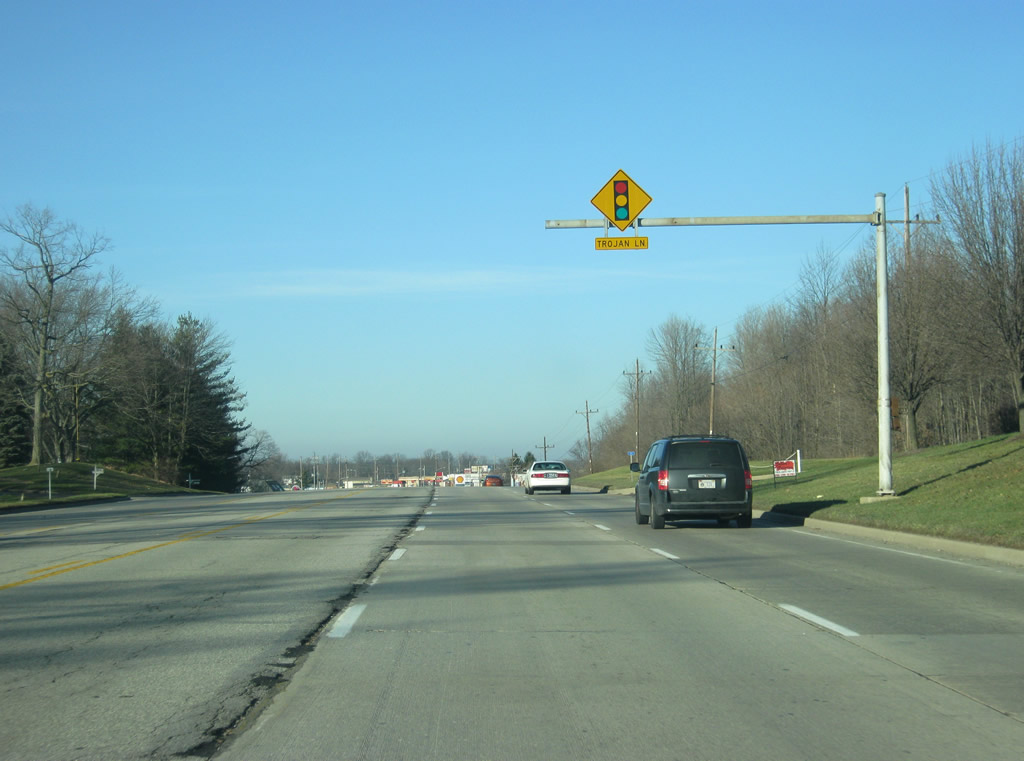
An advance traffic light sign prepares northbound motorists along SR 3 for the next signal with Trojan Lane.
12/18/11
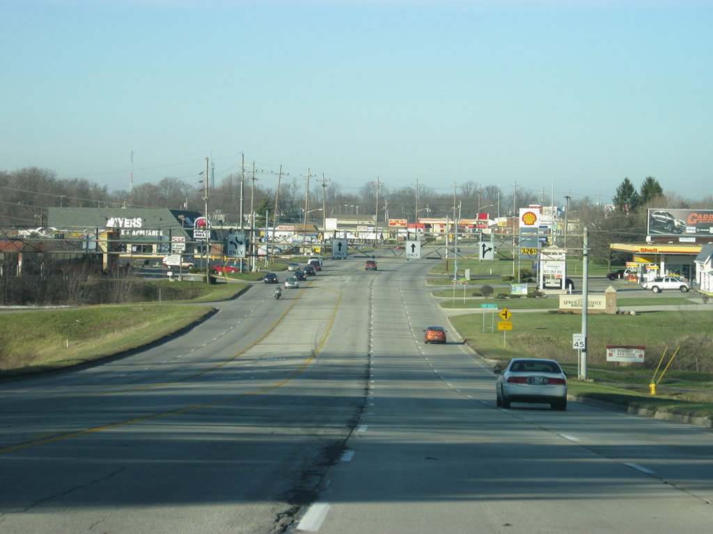
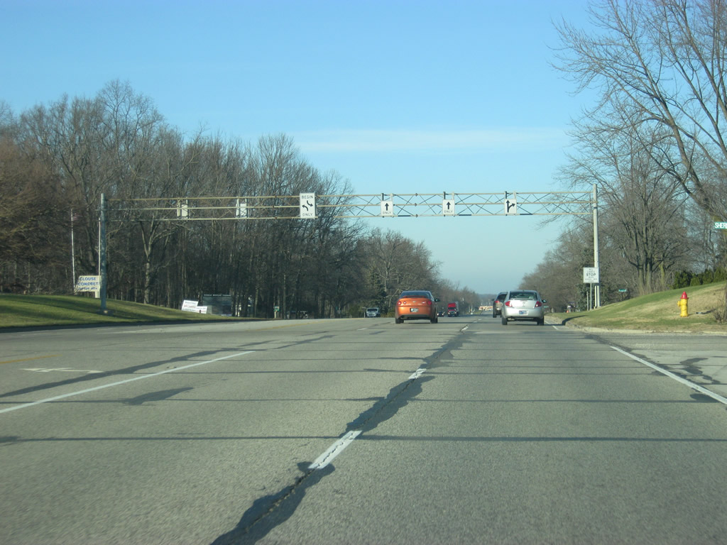
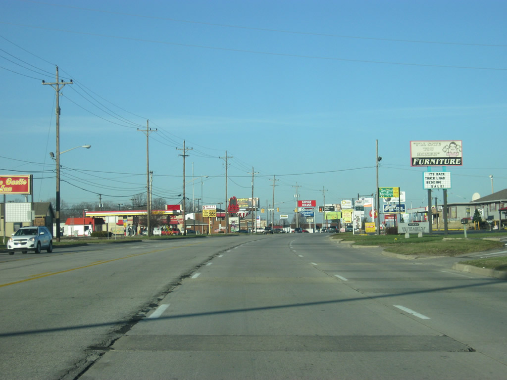
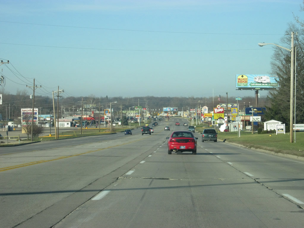
Descending from a small hill, SR 3 (Memorial Drive) heads into the commercialized part of New Castle. Although SR 3 (Memorial Drive) does not go through the heart of the town, much of the retail for New Castle has come out to the highway. Because of this, the highway has lost its feel for as a bypass and several stoplights make it a slow-going affair through New Castle.
12/18/11
Approaching the Trojan Lane intersection, SR 3 (Memorial Drive) officially enters the city of New Castle (population 18,114). New Castle is an older industrial city that is the county seat of Henry County and is home to the Indiana Basketball Hall of Fame, located along Trojan Lane to the east of SR 3 (Memorial Drive).
12/18/11
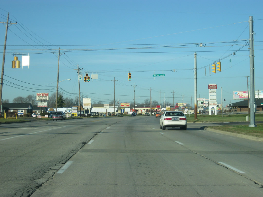
Now at the intersection with SR 3 (Memorial Drive) and Trojan Drive. Trojan Drive leads to New Castle High School, which is home to the New Castle Fieldhouse, the largest high school gymnasium in the world. Indiana is home to nine of the top ten largest high school gyms in the country, a tribute to the state's Hoosier Hysteria for basketball.
12/18/11
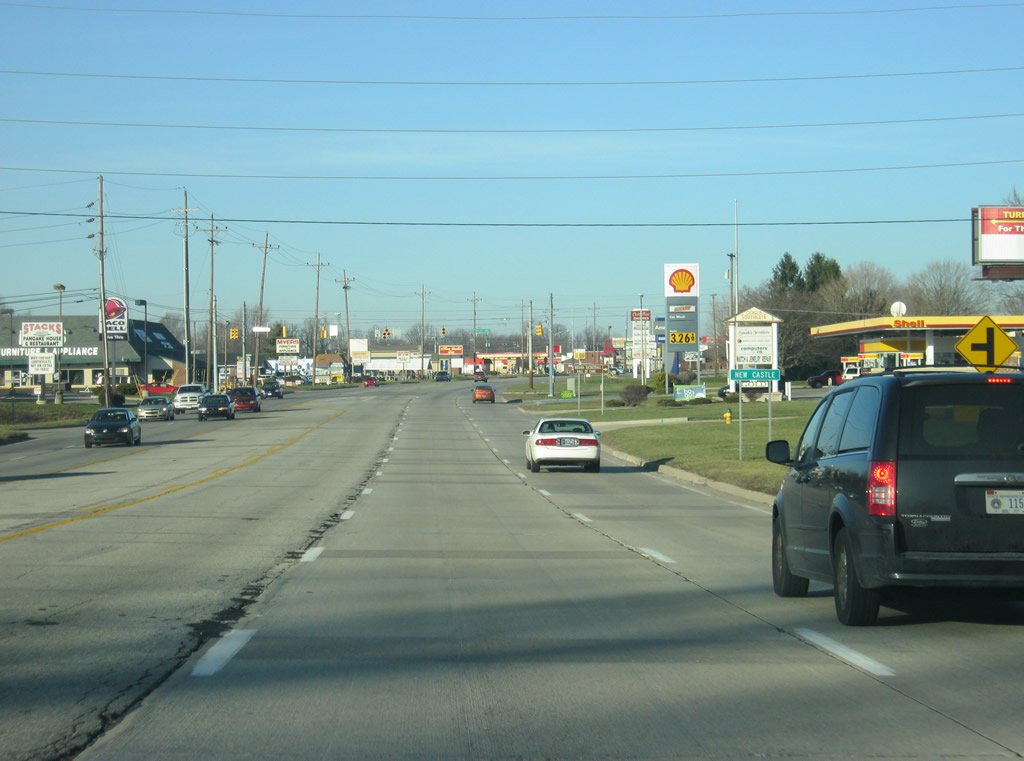
Continuing from the Trojan Lane intersection, SR 3 (Memorial Drive) keeps the three northbound and two southbound lane configuration with a center left turning lane.
12/18/11
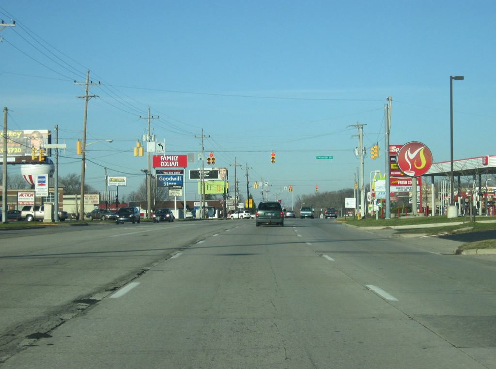
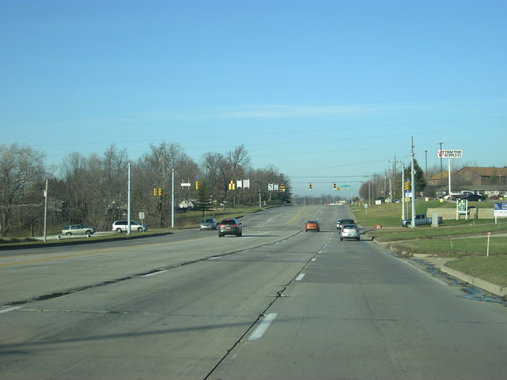
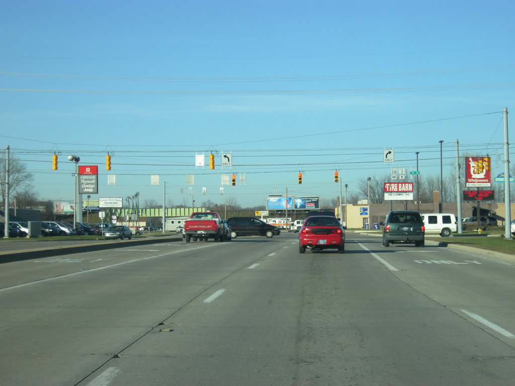
Retail lines both sides of SR 3 to the intersection with Parkview Drive. A second traffic light serves an adjacent shopping center.
12/18/11
SR 3 (Memorial Drive) continues to the north past additional commercial zones and South Mound Cemetery along the west side of New Castle. The Big Blue River lies to the west and forms a plain around where SR 3 (Memorial Drive) is.
12/18/11
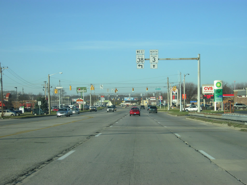
SR 3 (Memorial Drive) approaches the junction with SR 38 (Broad Street). SR 38 travels for 116 miles from U.S. 52 in Lafayette east through Frankfort, Noblesville and New Castle before ending at U.S. 35 to the northwest of Richmond.
12/18/11
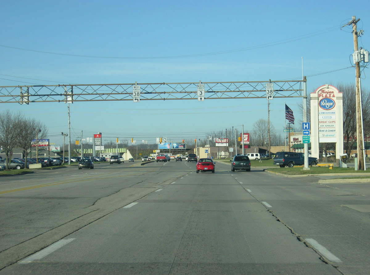
The far right lane becomes a turn lane onto SR 38 (Broad Street) east. Broad Street heads east into Downtown New Castle, connecting with SR 103, a 14 mile highway that runs across Henry County paralleling SR 3 but never meeting with it.
12/18/11
Now at the intersection with SR 38 (Broad Street) and SR 3 (Memorial Drive). To the west, SR 38 heads for the town of Cadiz and Pendleton.
12/18/11
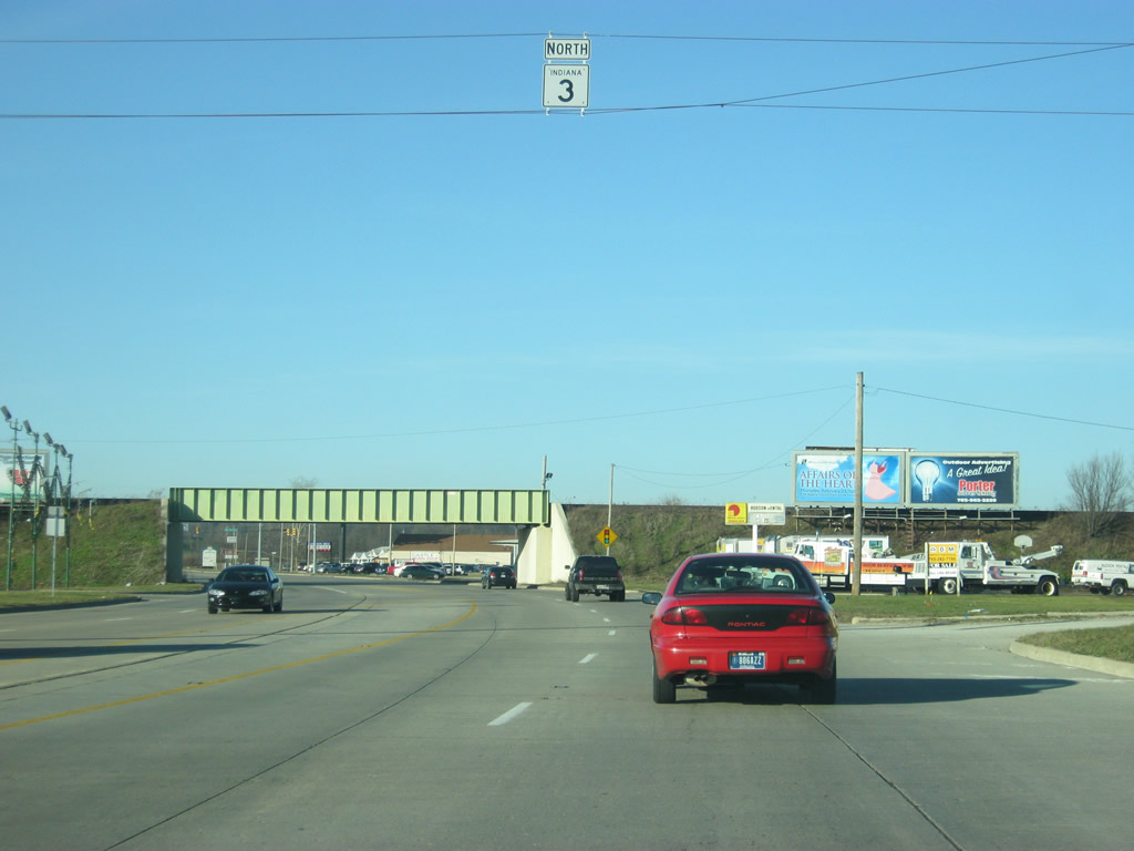
North of the SR 38 (Broad Street) intersection, an SR 3 reassurance shield hangs above the highway. Aahead, the highway passes underneath the Connersville and New Castle Railroad overpass.
12/18/11
SR 3 (Memorial Drive) passes Henry County Memorial Park as the highway leaves the city of New Castle.
12/18/11
County Road 200 crosses SR 3, connecting the state road with the New Castle Correctional Facility nearby.
12/18/11
North of the intersection with County Road 200 North, SR 3 expands to a divided highway once again as elevates to pass over a former Norfolk and Western Railroad line.
12/18/11
Curving northeastward from the vicinity just north of County Road 300 North along the SR 3 expressway.
12/18/11
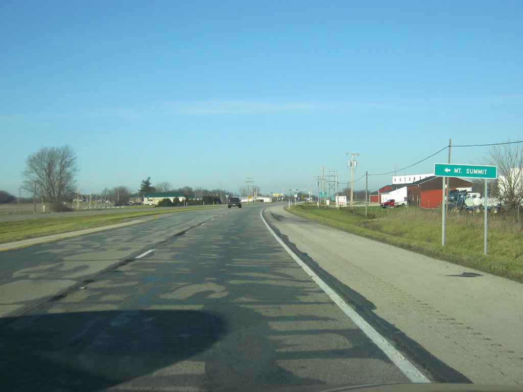
Prairie Road heads north from SR 3 to the town of Mount Summit, which SR 3 bypasses to the immediate east.
12/18/11
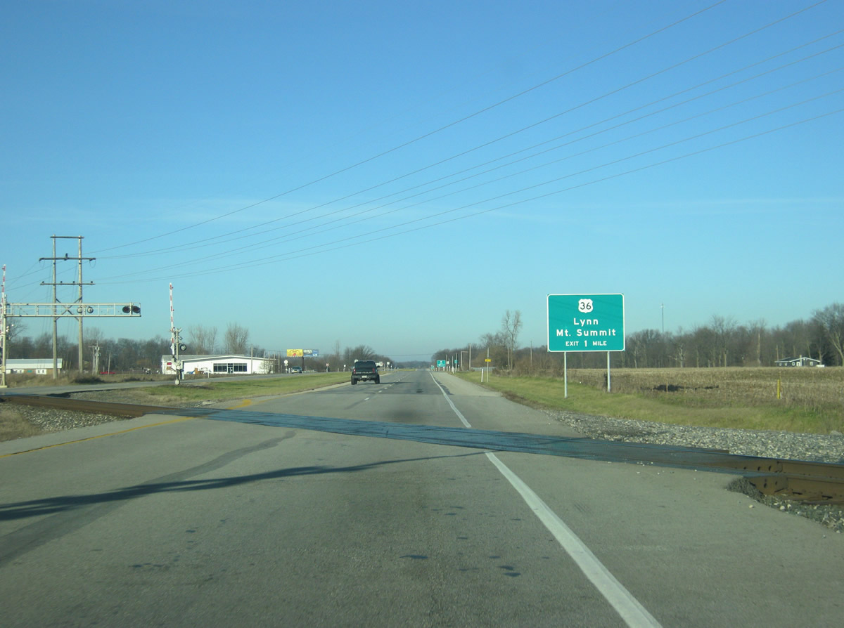
North of the Prairie Road intersection, SR 3 crosses the CSX railroad tracks near the one mile approach to U.S. 36.
12/18/11
Now a half mile away from the diamond interchange between SR 3 and U.S. 36. U.S. 36 goes for 1,414 miles from the Rocky Mountain National Park to Uhrichsville, Ohio and for 139 miles across Indiana from the Illinois line, through Rockville, Danville, Indianapolis, and Pendleton before leaving into Ohio.
12/18/11
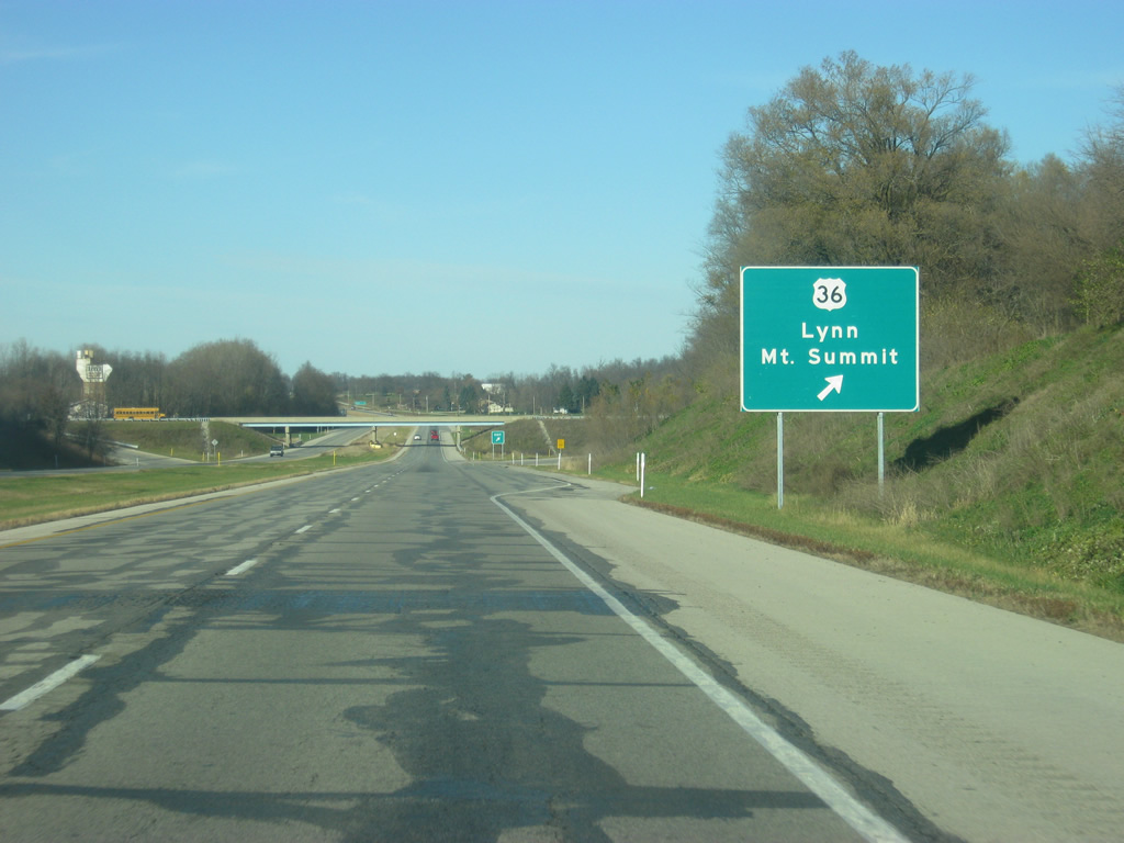
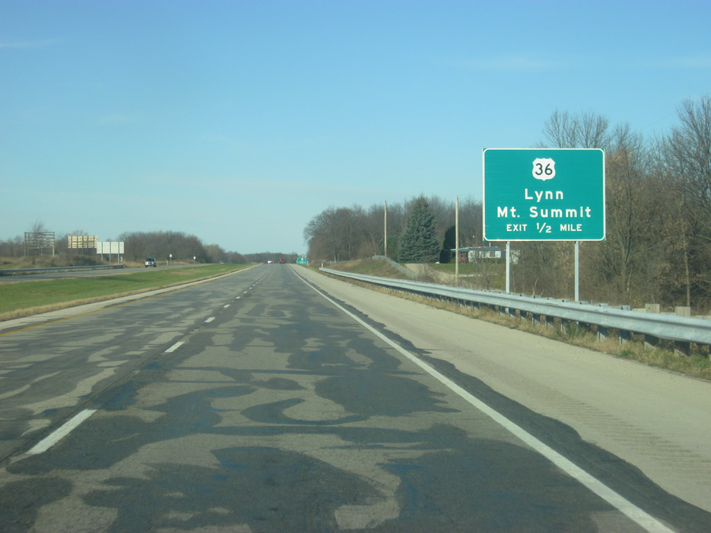
Northbound SR 3 at the off-ramp to U.S. 36. The town of Mount Summit is less than a mile to the west while the town of Lynn is about 25 miles to the east. Summit Lake State Park is also a few miles to the east along U.S. 36.
12/18/11
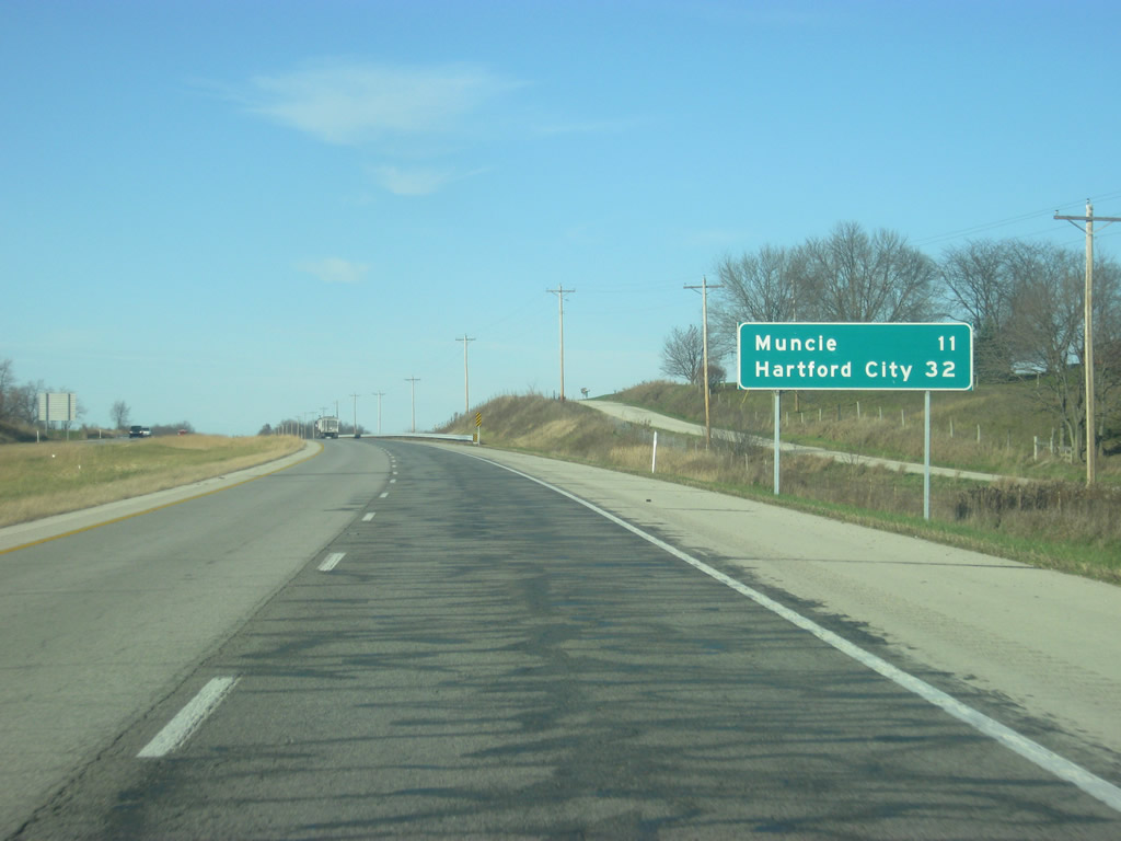
North of the U.S. 36 interchange, SR 3 is now 11 miles from Muncie and 32 miles from the Blackford County seat of Hartford City.
12/18/11

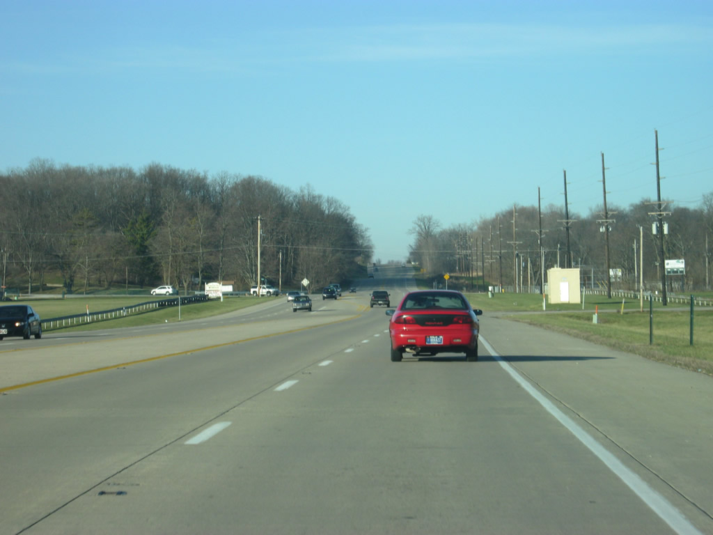
Scenes of the SR 3 expressway to the north of the U.S. 36 interchange in northern Henry County.
12/18/11
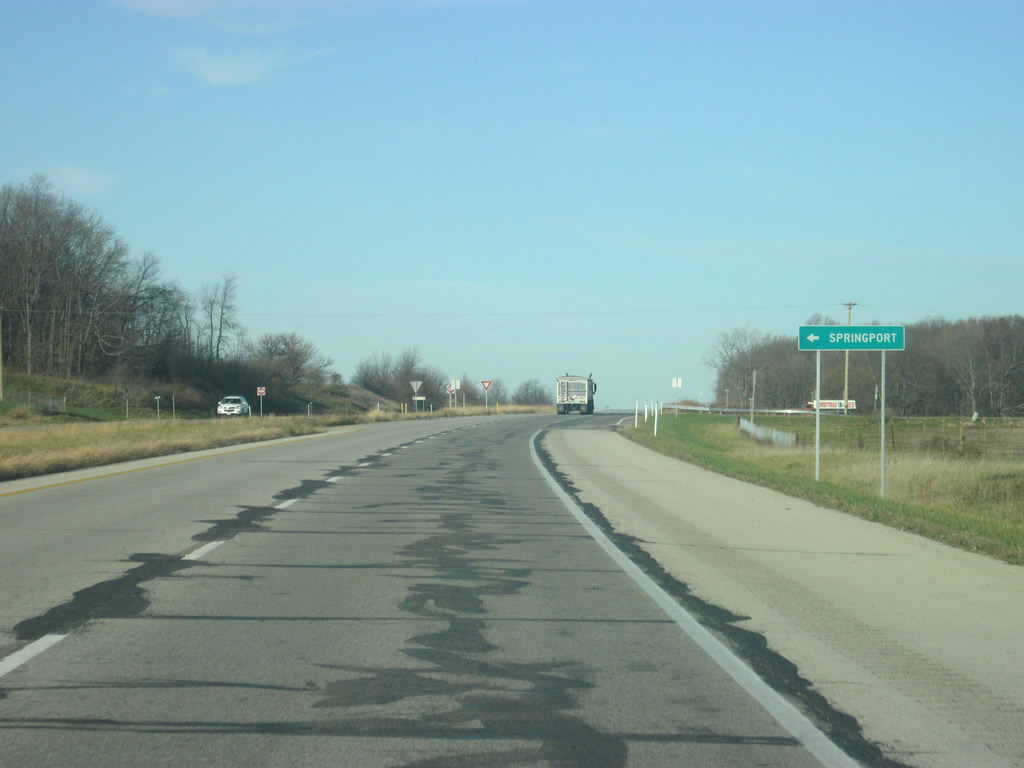
SR 3 northbound intersects County Road 800 North, which leads west to the town of Springport.
12/18/11
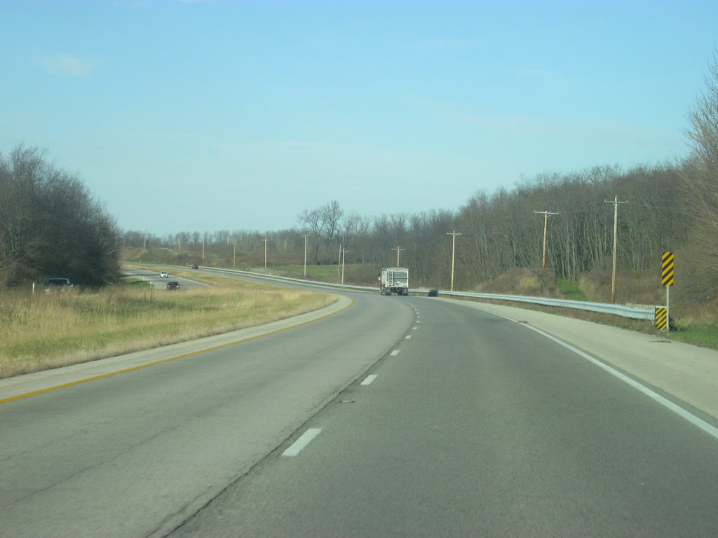
A view of the SR 3 expressway to the north of County Road 800 North. The highway is lightly traveled but forms an important connector between Interstate 70 and the city of Muncie, the largest in the East Central Indiana region.
12/18/11
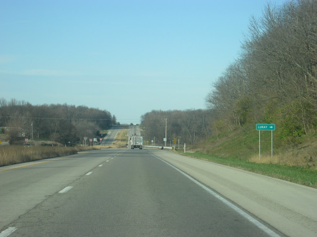
County Road 950 North connects SR 3 with the small town of Luray immediately to the east.
12/18/11
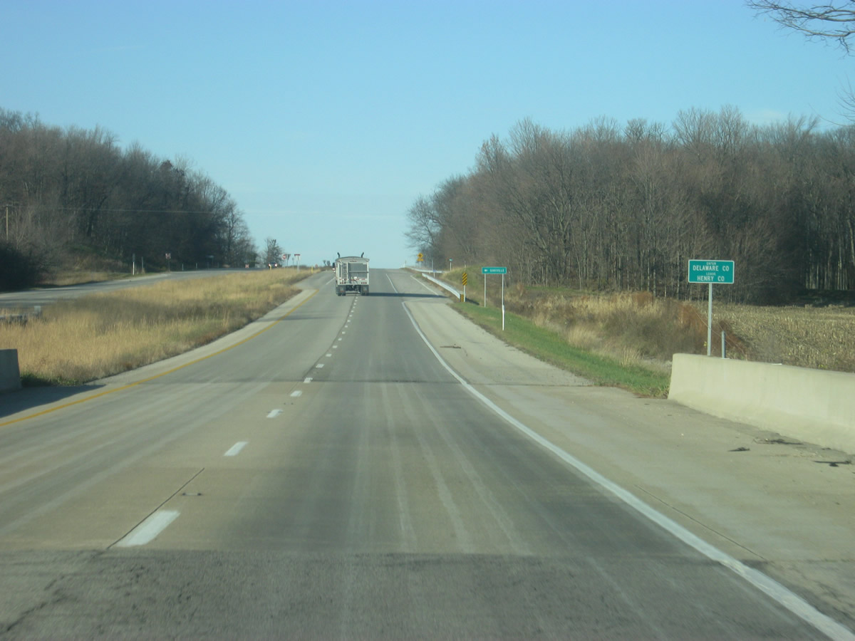
The SR 3 expressway enters Delaware County (population 117,671). Upon crossing the county line, the intersection with County Road 750 South appears, serving the town of Oakville to the west.
12/18/11
An SR 3 reassurance shield north of County Road 750 South in southern Delaware County.
12/18/11
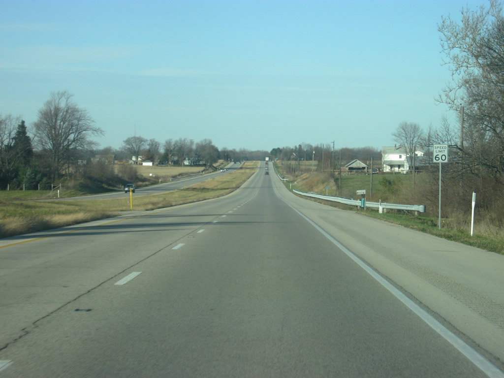
The SR 3 expressway from north of New Castle to the upcoming Muncie Bypass (SR 67) has a 60 mile per hour speed limit.
12/18/11
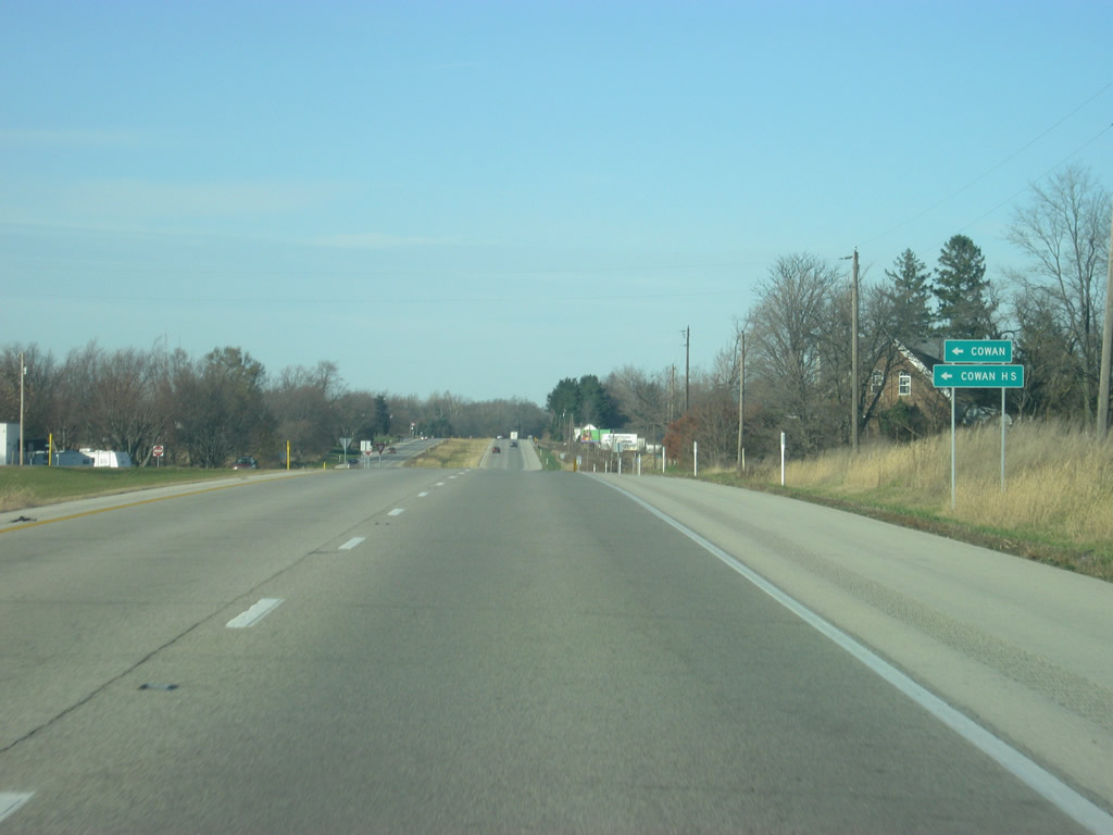
Approaching the intersection with Shockley Road, which heads west to the town of Cowan and Cowan High School.
12/18/11
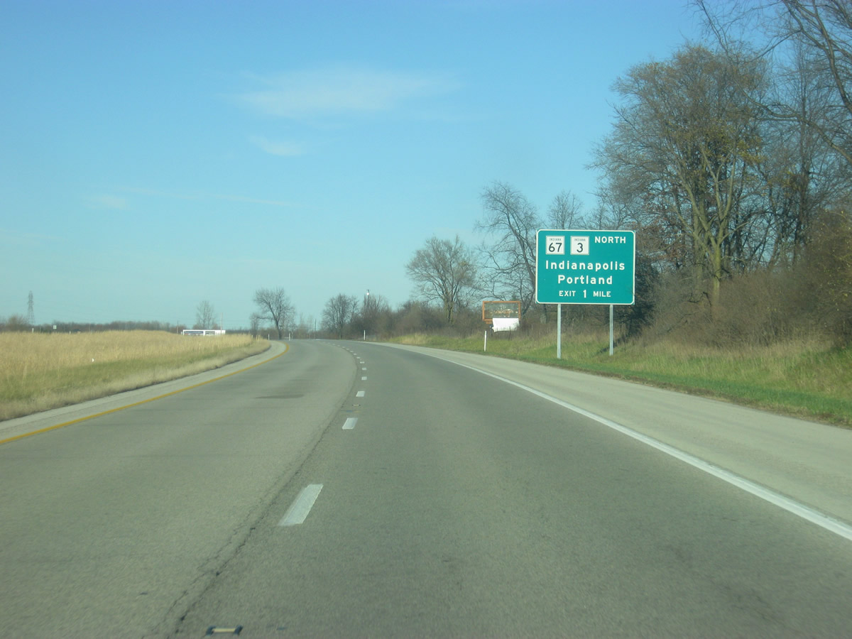
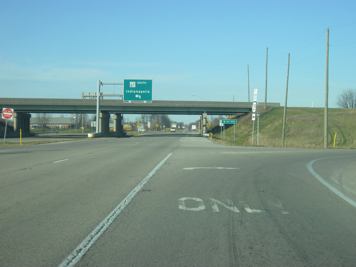
North of the Shockley Road intersection, SR 3 approaches the junction with SR 67, the Muncie Bypass. SR 67 travels for 199 miles from Vincennes to the southwest, north through Indianapolis and Muncie before ending at the Ohio border near Bryant.
12/18/11
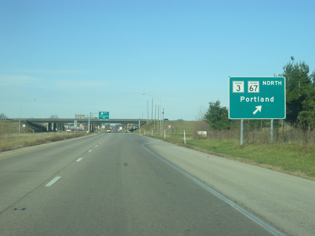
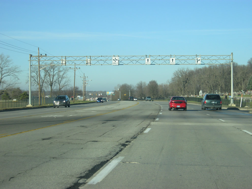
Now coming up on the diamond interchange with SR 67 (Muncie Bypass). SR 3 will follow the Muncie Bypass around the east side of Muncie, intersecting with Memorial Drive, SR 32 (Jackson Street) and SR 67 north before continuing beyond the city. The bypass is a freeway-like highway that provides a quick way around Muncie.
12/18/11
North of SR 67 (Muncie Bypass), the road becomes Macedonia Avenue as it enters the city of Muncie (population 70,085). Muncie is best known for the home of Ball State University and being the county seat for Delaware County. Macedonia Avenue carries the routing of the original SR 3, which went north to 29th Street and followed that street west to Madison Street. Along with U.S. 35 and SR 67, SR 3 followed Madison Street north through Muncie and back out toward the northeast along Broadway Avenue.
12/18/11
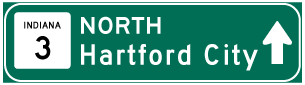
Photo Credits:
- Thomas Decker: 12/18/11
- AARoads: 10/16/04
Connect with:
Page Updated Tuesday November 13, 2012.