
State Road 3 North - Clark, Jefferson and Jennings Counties
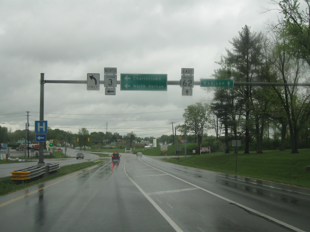
SR 62 at the intersection with SR 3 north and Landing Road in the city of Charlestown (population 7,585). Landing Road heads to the south to serve an industrial park while SR 3 will head to the north. SR 62 continues to the northeast en route to the communities of Hanover and Madison in Jefferson County.
04/25/12
North of the junction with SR 62, SR 3 follows Market Street as a four lane boulevard through Charlestown.
04/25/12

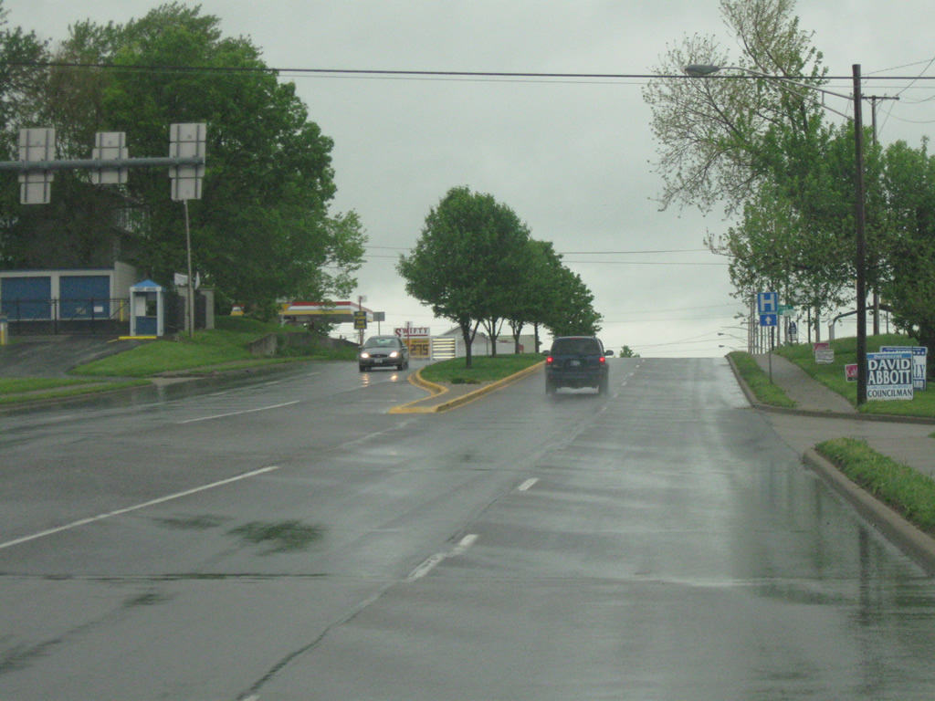
Another view of SR 3 (Market Street) heading through Charlestown. This scene looks at the approach to Clark Road.
04/25/12
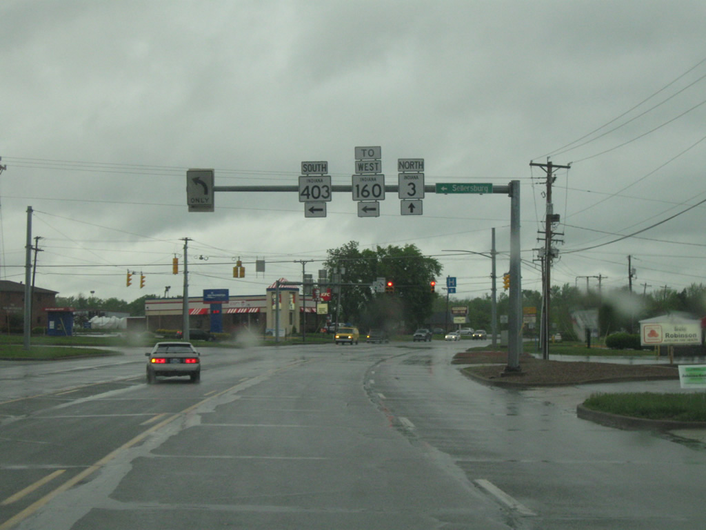
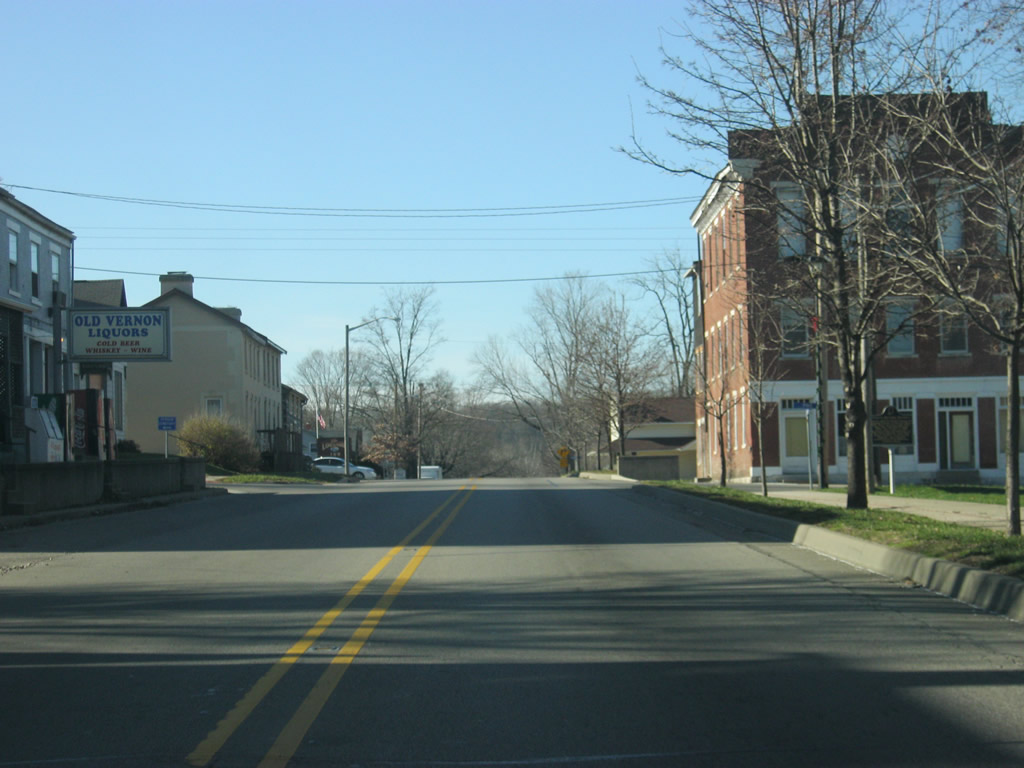
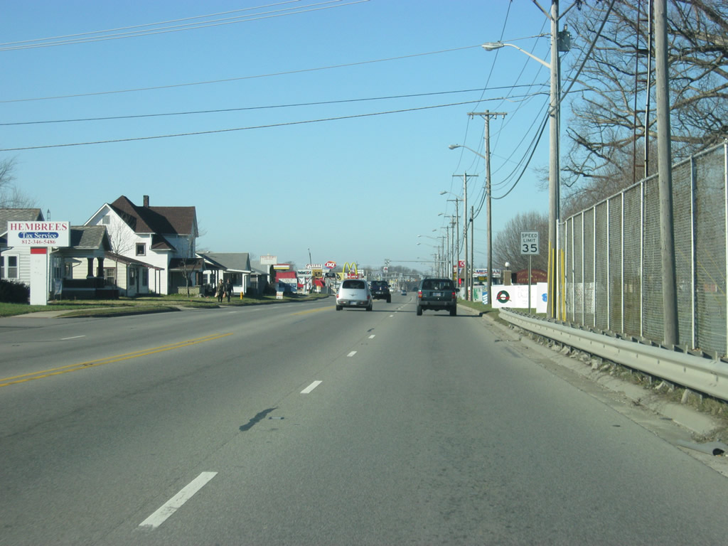
SR 3 (Market Street) nears the intersection with SR 160 and SR 403. SR 403 heads southwest for six miles to U.S. 31 near Sellersburg. SR 160 heads northwest from a very short multiplex with SR 403 for 26.6 miles past the town of Henryville en route to its western terminus in Salem at SR 60. SR 3 will continue north of Charlestown through the small towns of Lexington and Deputy en route toward the North Vernon-Vernon area.
04/25/12
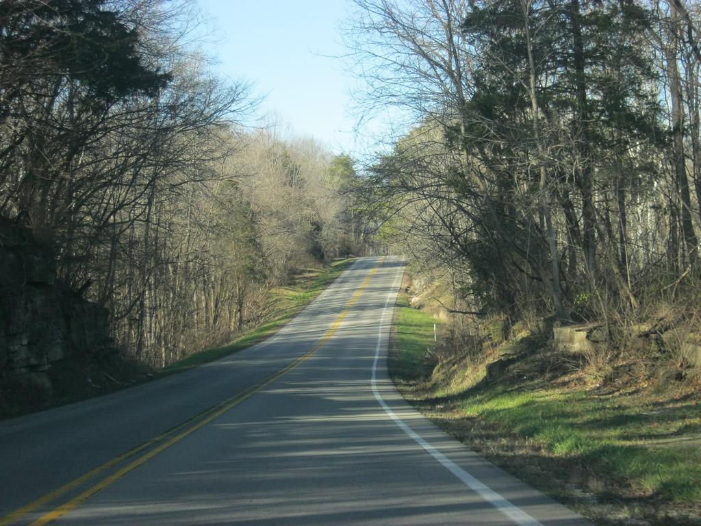
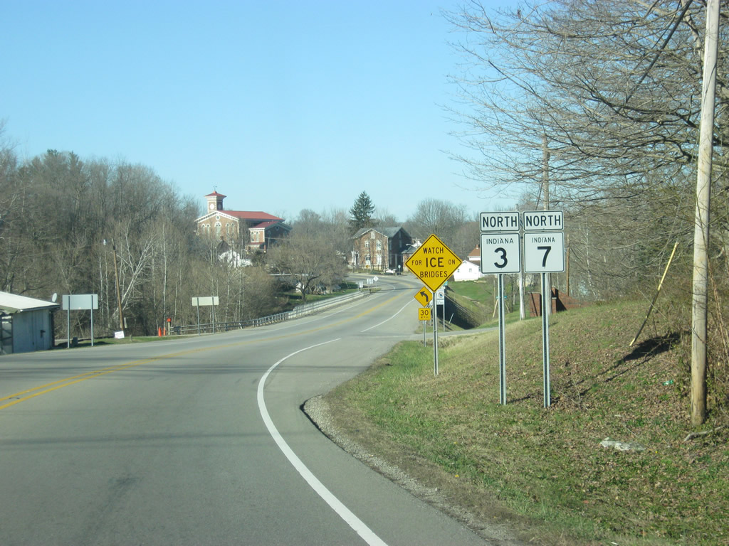
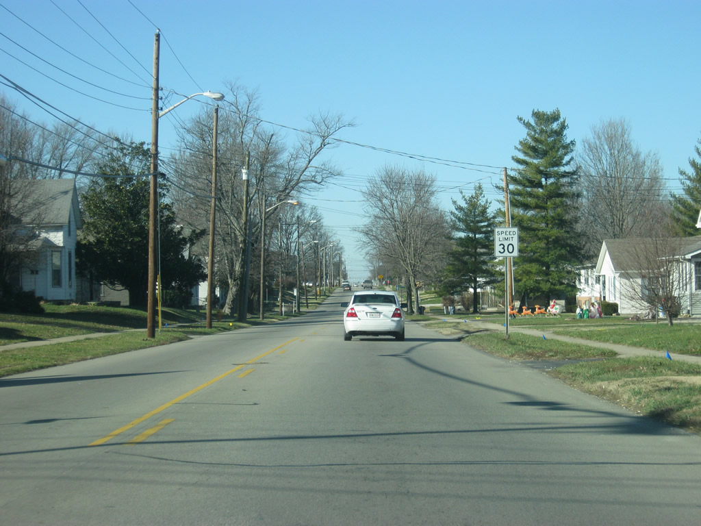
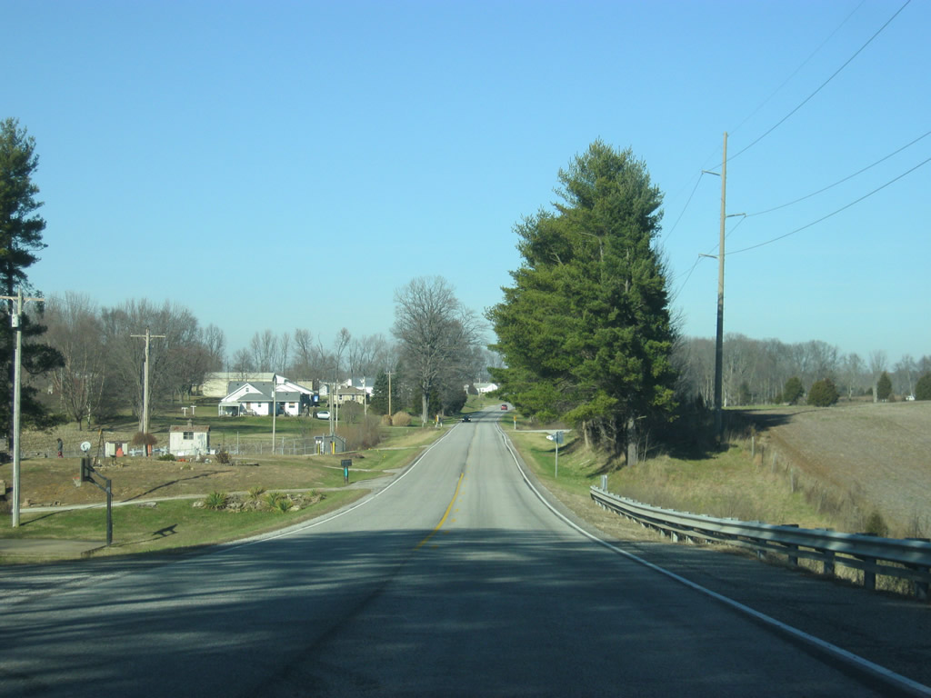
We pick up SR 3 in rural Jennings County (population 28,525) to the south of Vernon. Around this area, SR 3 ventures through the Crosley State Fish and Wildlife Area.
12/18/11
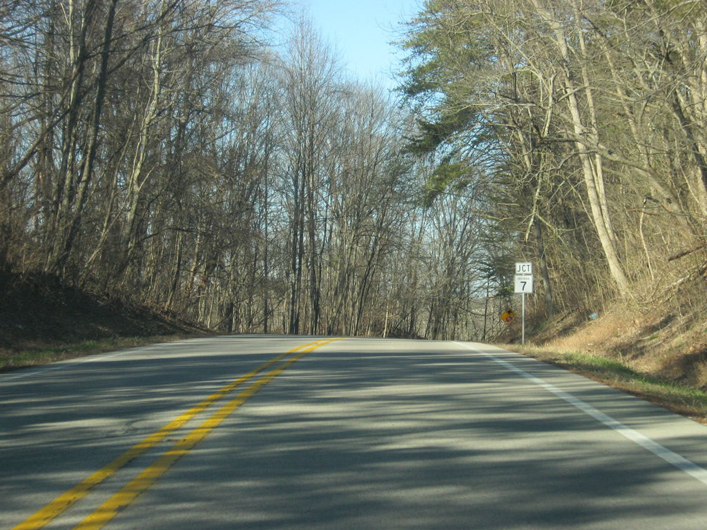
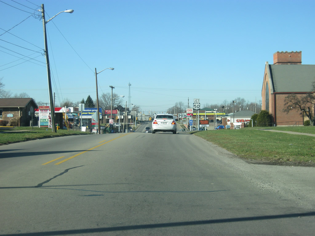
SR 3 approaches SR 7 ahead. SR 7 travels for 41 miles from SR 56 in Downtown Madison, northwest through Jennings County to SR 46 just southeast of Columbus.
12/18/11
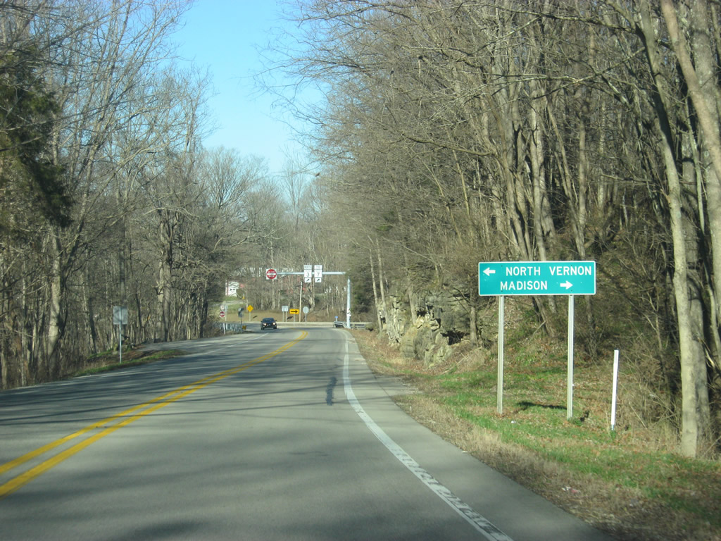
Heading north, most traffic continues toward North Vernon along the multiplex with SR 7. The Jefferson County seat of Madison can be reached about 22 miles to the southeast.
12/18/11
The northbound lane of SR 3 turns toward the northeast and meets SR 7 at a perpendicular angle. The two rotues merge along the path of SR 7 toward Vernon and North Vernon. The John Hunt Morgan Heritage Trail, which follows the path of the 1863 Morgan's Hunt (the only major Civil War action in Indiana), follows SR 7 north into North Vernon before following U.S. 50 to the east toward Versailles.
12/18/11
SR 3 joins SR 7 and remains overlapped with the route for about four miles through the communities of Vernon and North Vernon.
12/18/11
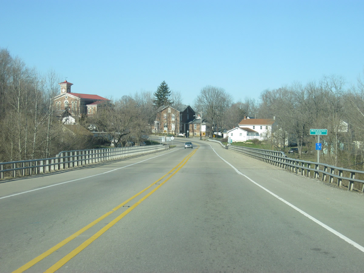
Prior to entering the town of Vernon, SR 3 & 7 cross the Muscatatuck River.
12/18/11
SR 3 & 7 enter the town of Vernon (population 330). Vernon is the county seat for Jennings County and is indeed the smallest county seat in size by population. Historically, Vernon was the larger community and among the oldest. Partially due to the fact that Vernon was surrounded by the Muscatatuck River on three sides, the town never grew past its original grid. Therefore, when the railroads decided to intersect a mile or so to the northwest, North Vernon grew as the larger community while Vernon was retained as the county seat.
12/18/11
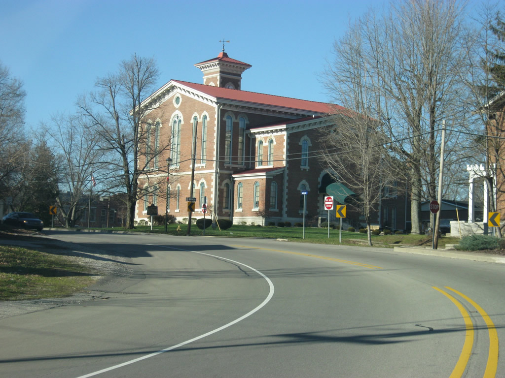
Upon entering Vernon, the Jennings County Courthouse comes into view as SR 3 & 7 turns toward the west. The Italianate style courthouse was completed in 1861 and has served the residents of Jennings County since.
12/18/11
SR 3 & 7 follow Jackson Street for three blocks as they pass the Jennings County Courthouse to the south. There is a very small downtown for Vernon that mostly surrounds the courthouse.
12/18/11

SR 3 & 7 make a 90-degree to the north to follow Poplar Street before the highway turns toward the northwest to leave Vernon.
12/18/11
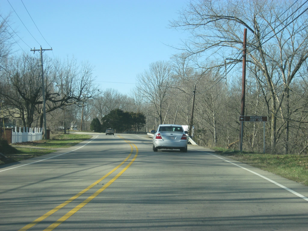
A short rural stretch of highway separates Vernon and North Vernon, even though the corporation limits touch each other. Here, SR 3 & 7 approach the entrance into Muscatatuck County Park. Originally, it was founded as Indiana's fourth state park, but had gone through multiple hands through the years before 1968, when it was given to Jennings County.
12/18/11
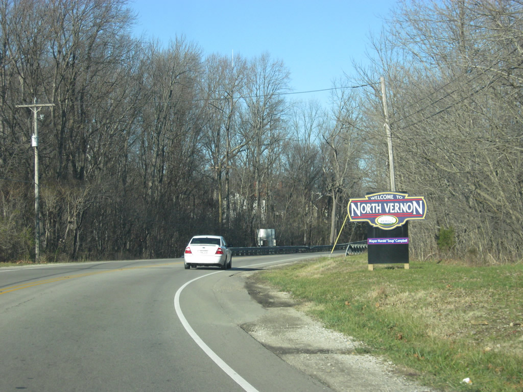
North of the entrance into Muscatatuck County Park, SR 3 & 7 enter the city of North Vernon (population 6,728). North Vernon grew due to the intersection of two railroads (the Madison Railroad and the CSX Railroad), and the additional junction between SR 3 & 7 and U.S. 50, to become the economic hub of Jennings County. In town, SR 3 & 7 take on the name of State Street.
12/18/11
A few businesses line SR 3 & 7 (State Street) on the south side of North Vernon.
12/18/11
SR 3 & 7 (State Street) turn toward the northwest as the highway enters a residential part of the city. The streets follow the angle of the railroad tracks, six blocks to the northeast, through North Vernon in a northwest to southeast orientation.
12/18/11
U.S. 50 (Walnut Street) and SR 3 & 7 (State Street) come outside downtown North Vernon. U.S. 50 stretches for just over 3,000 miles from West Sacramento, California to Ocean City, Maryland.
12/18/11
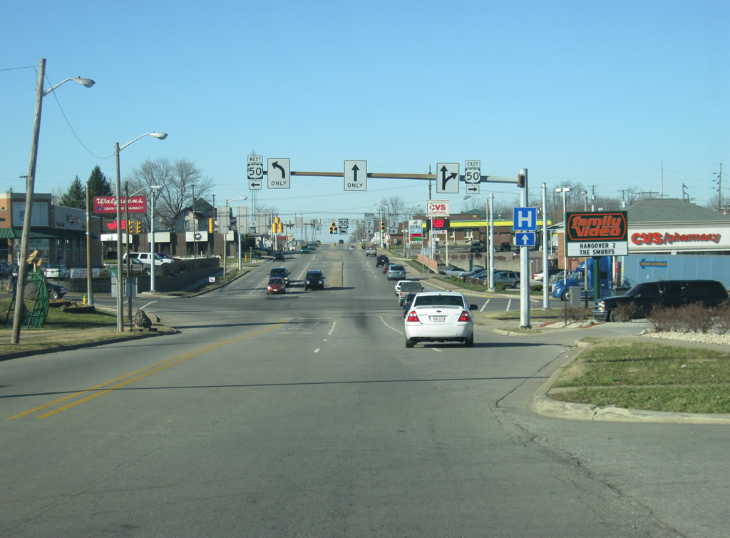
U.S. 50 (Walnut Street) travels for 171.5 miles across Indiana from Vincennes at the Wabash River through the communities of Washington, Loogootee, Shoals, Bedford, Brownstown, Seymour, North Vernon, Versailles and Lawrenceburg before leaving the state just west of Cincinnati, Ohio.
12/18/11
Now at the intersection with SR 3 & 7 (State Street) and U.S. 50 (Walnut Street). To the east, U.S. 50 (Walnut Street) connects with Downtown North Vernon and the Ripley County seat of Versailles and to the west it heads toward Interstate 65 and Seymour. From here, SR 3 & 7 (State Street) expands to four lanes.
12/18/11

North of the intersection with U.S. 50 (Walnut Street), SR 3 & 7 (State Street) ascend across a bridge over the CSX railroad tracks. At this point, the combined highways form the busiest stretch of road in Jennings County.
12/18/11
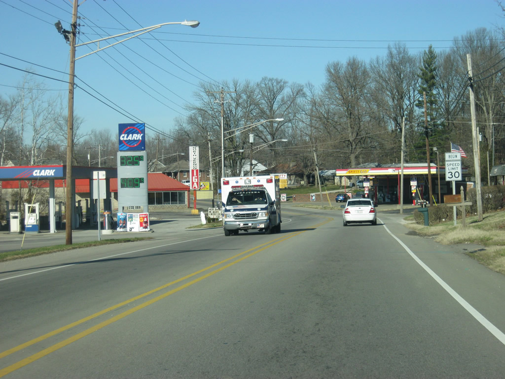
SR 3 & 7 (State Street) pass by North Vernon City Park and transition into a commercialized corridor serving northern reaches of the city.
12/18/11
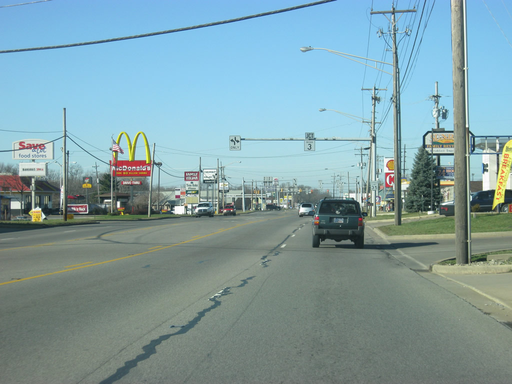
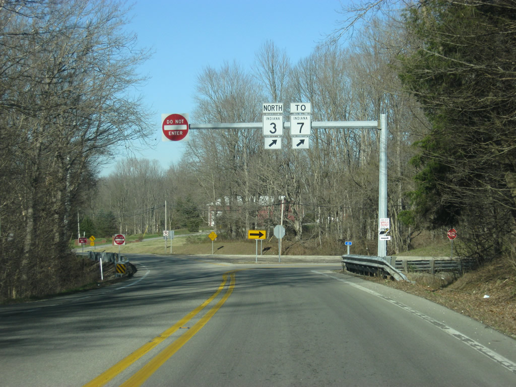
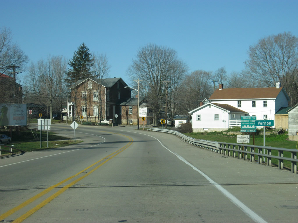
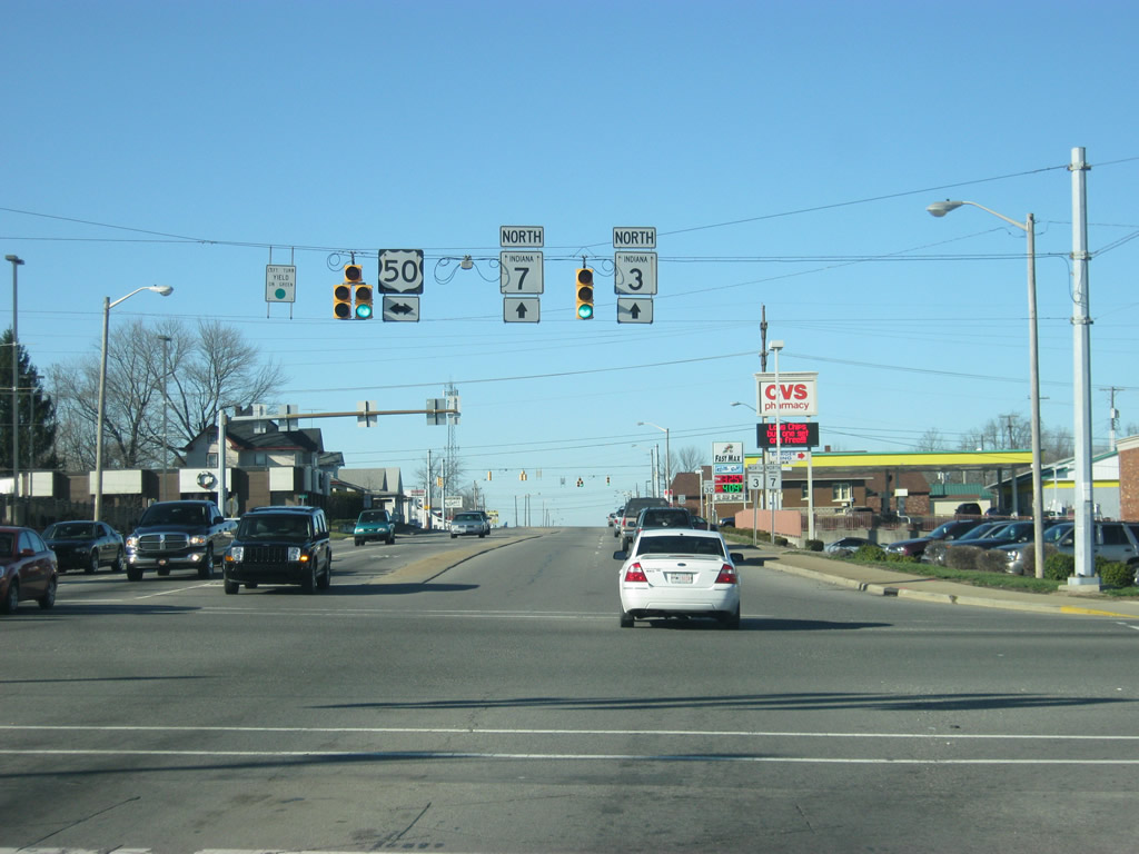
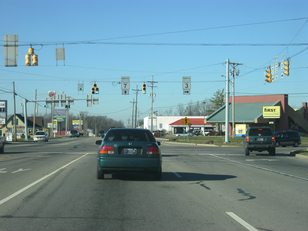
State Street approaches the point where SR 3 will break off from SR 7 to the north from North Vernon.
12/18/11
The Bartholomew County seat of Columbus lies 21 miles to the northwest along SR 7 as SR 3 veers northward toward the North Vernon Industrial Park and Decatur County seat of Greensburg.
12/18/11
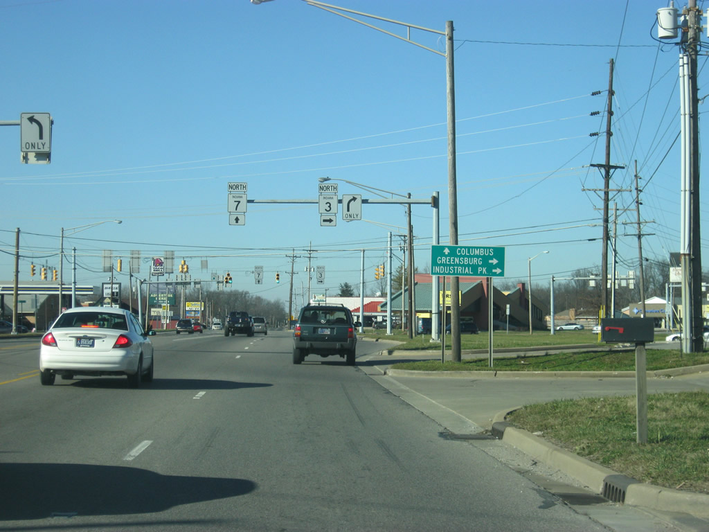
SR 3 and 7 part ways at an intersection with County Road 200 West. Both state roads reduce to two lanes beyond their partition as they depart North Vernon.
12/18/11
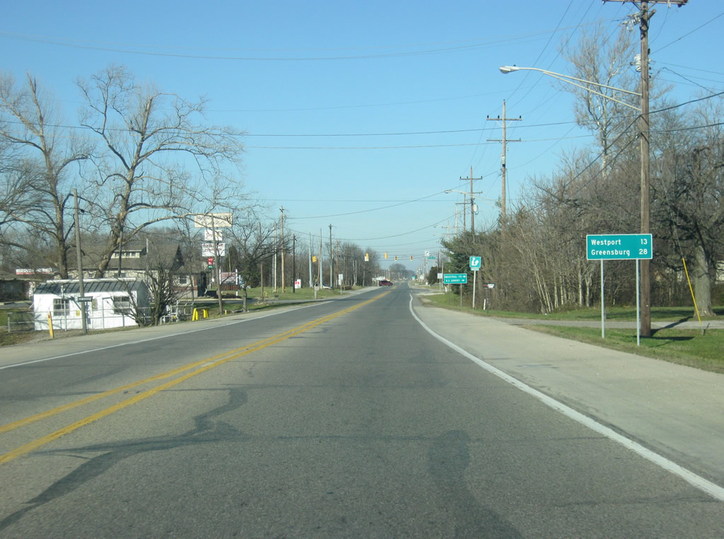
North of the split from SR 7, SR 3 is 13 miles from the next community of Westport and 28 miles from Greensburg. The stoplight ahead at 2nd Street provides access to the North Vernon Industrial Park and the Indiana National Guard Armory.
12/18/11
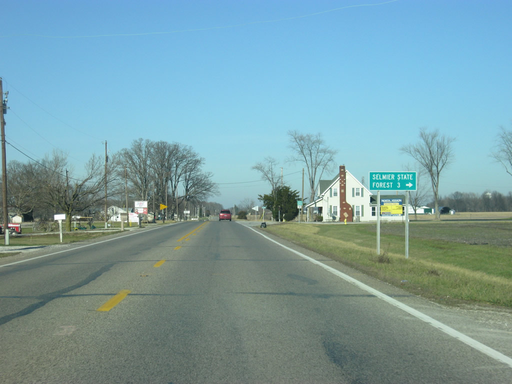
Now outside North Vernon, SR 3 intersects County Road 350 North, which heads east toward Selmier State Forest.
12/18/11
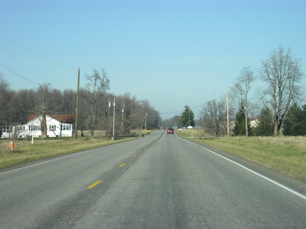
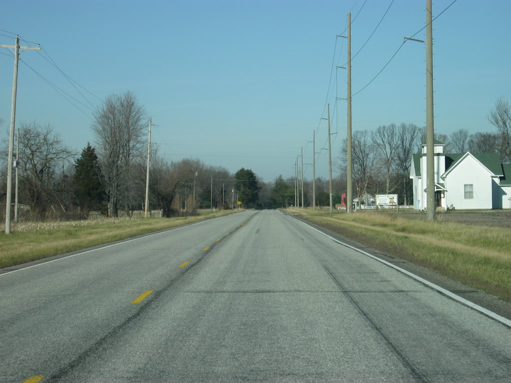
North of North Vernon, SR 3 becomes a very quiet two lane rural state highway through northern Jennings County.
12/18/11

County Road 500 North ventures east from SR 3 to Sand Creek Elementary School and North Vernon Municipal Airport.
12/18/11
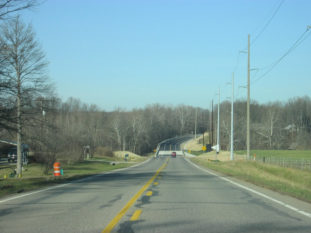
Crossing Sand Creek along SR 3 northbound. A 2011 project replaced a narrow 1935 truss bridge across this waterway with a simple concrete span. Further east is an even older truss bridge remnant from the original crossing of the waterway. Portions of that alignment remain in place as County Road 150 West.
12/18/11
Views of SR 3 through northern Jennings County. The highway travels across generally flat agricultural lands along this stretch.
12/18/11

A 1936 bridge that was refurbished in 1984 carries drivers along SR 3 northbound over Wyaloosing Creek.
12/18/11
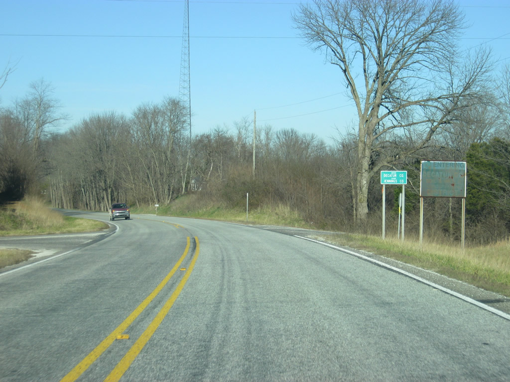
SR 3 enters Decatur County (population 25,740).
12/18/11
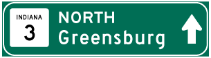
Photo Credits:
- Thomas Decker: 12/18/11, 04/25/12
Connect with:
Page Updated Monday November 12, 2012.