
State Road 3 South - Rush & Decatur Counties
SR 3 is called the Veterans Memorial Drive through Rush County.
04/19/10
SR 3 shifts slightly east on its southward trajectory to Rushville, but otherwise follows a straight path to the south.
04/19/10

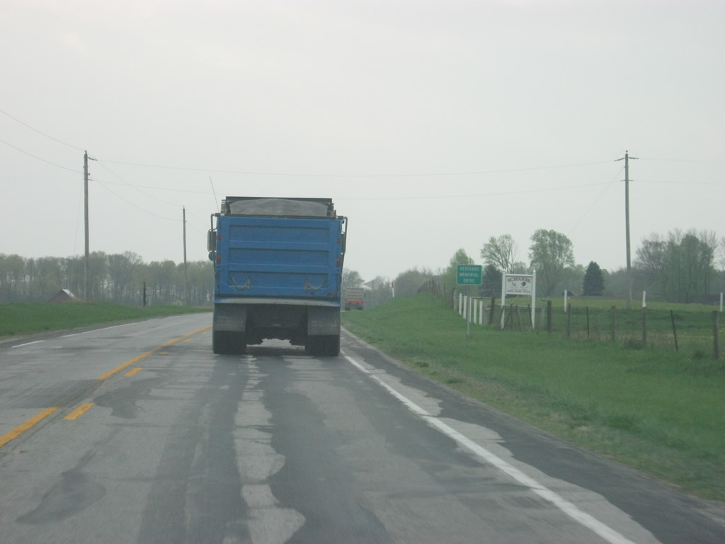
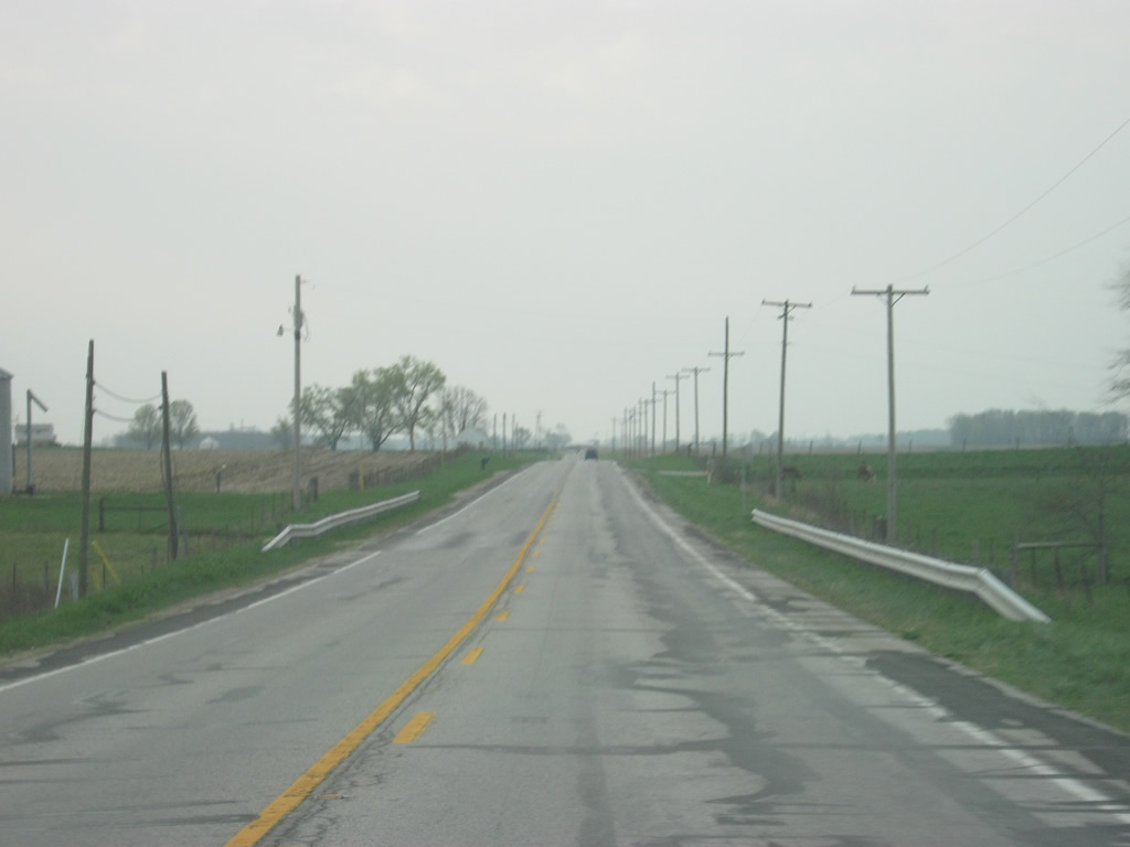
Ahead is the intersection with County Road 900 North, leading to the towns of Mays and Raleigh to the east and Carthage to the west.
04/19/10
Views of SR 3 south of the intersection with County Road 900 North. SR 3's trip through Rush County follows with very predicable Indiana scenery consisting of flat farmlands surrounding the central county seat of Rushville.
04/19/10
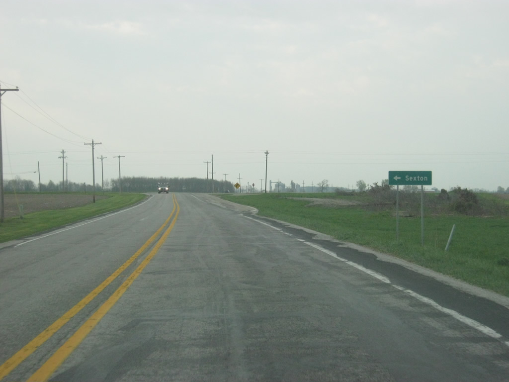
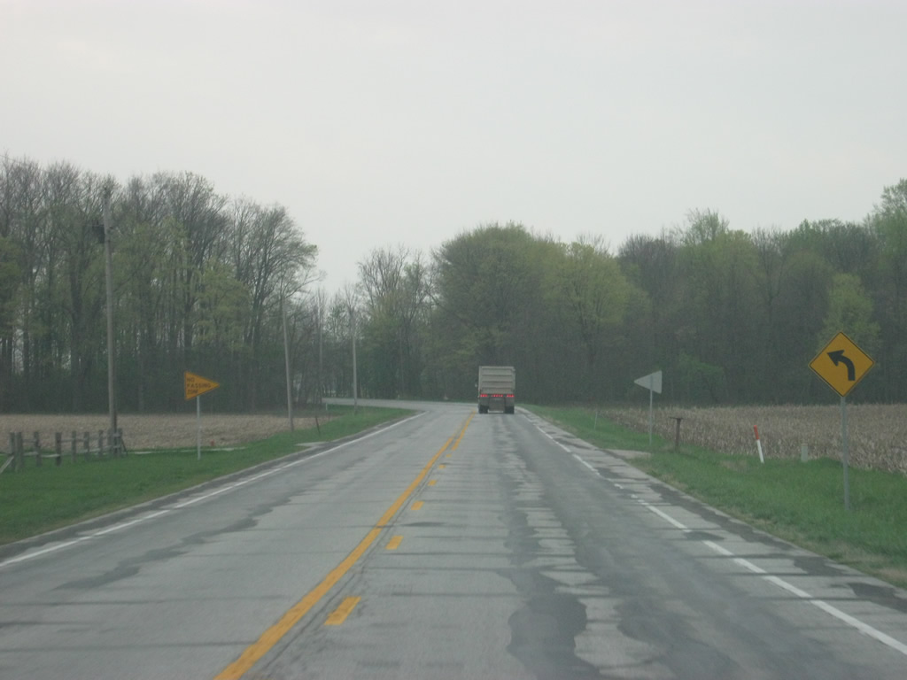
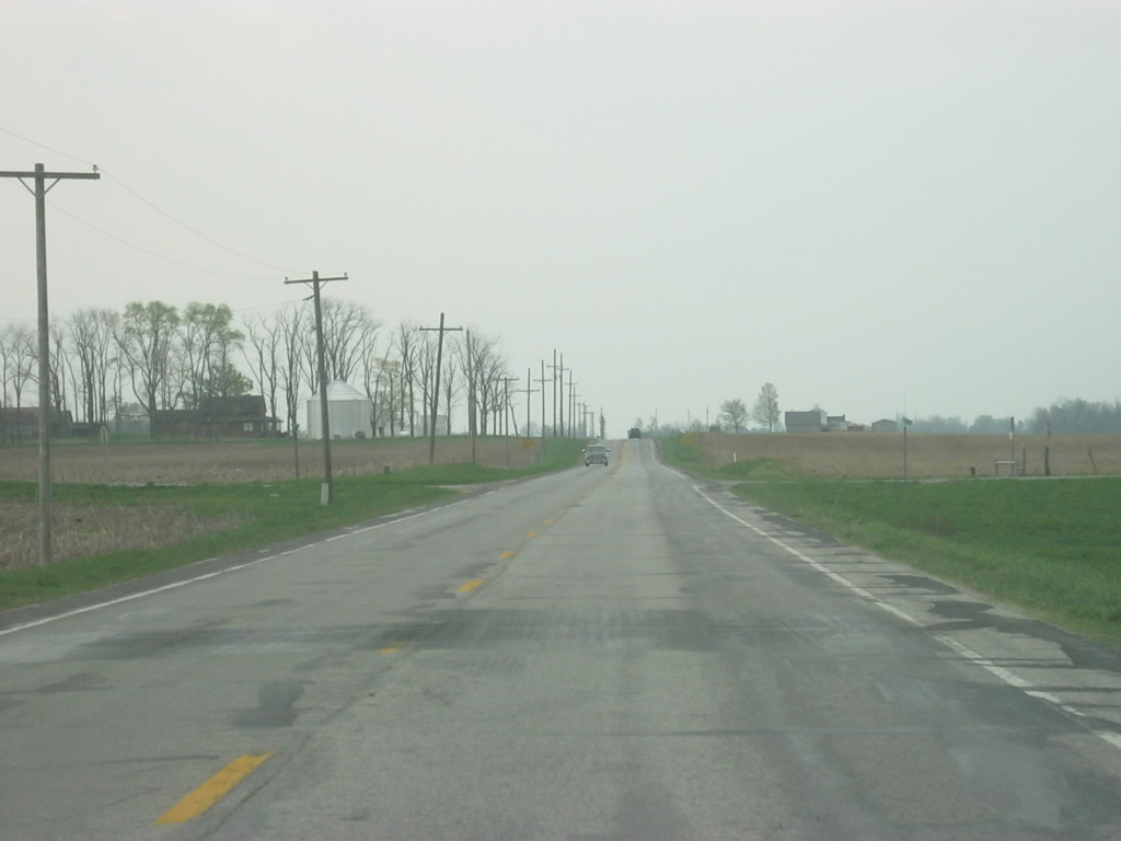
Nearing the intersection with County Road 600 North on SR 3 south. CR-600 North ventures east to the town of Sexton.
04/19/10
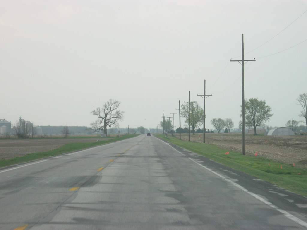
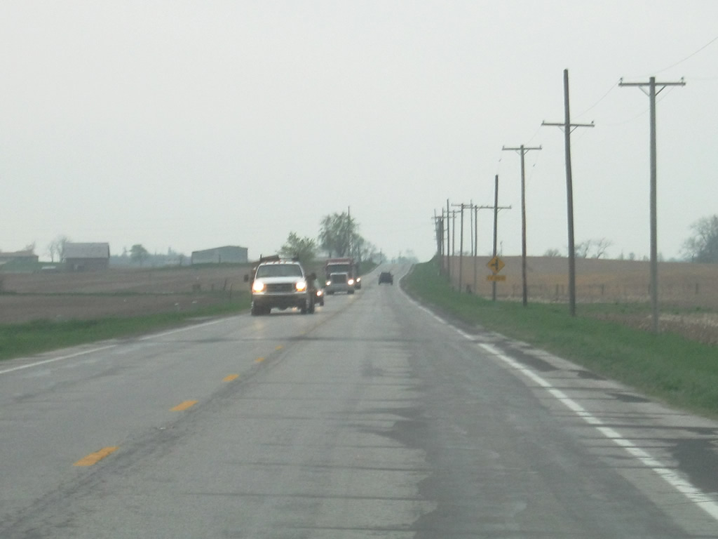
South from County Road 600 North, SR 3 continues six miles to downtown Rushville and the Rush County Courthouse. The state road takes one final jaunt to the west at Gings Road (County Road 400 North) before reaching Rushville.
04/19/10
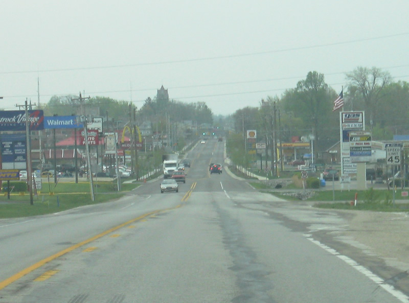
SR 3 enters the city of Rushville (population 6,341). Rushville is the county seat and largest city in Rush County.
04/19/10
SR 3, called Main Street in Rushville, crosses a spur of the CSX railroad by an industrial zone on the north side of the city.
04/19/10
The top of the Rush County courthouse rises over a sea of trees as SR 3 (Main Street) descends into a commercial stretch on the north side of Rushville.
04/19/10
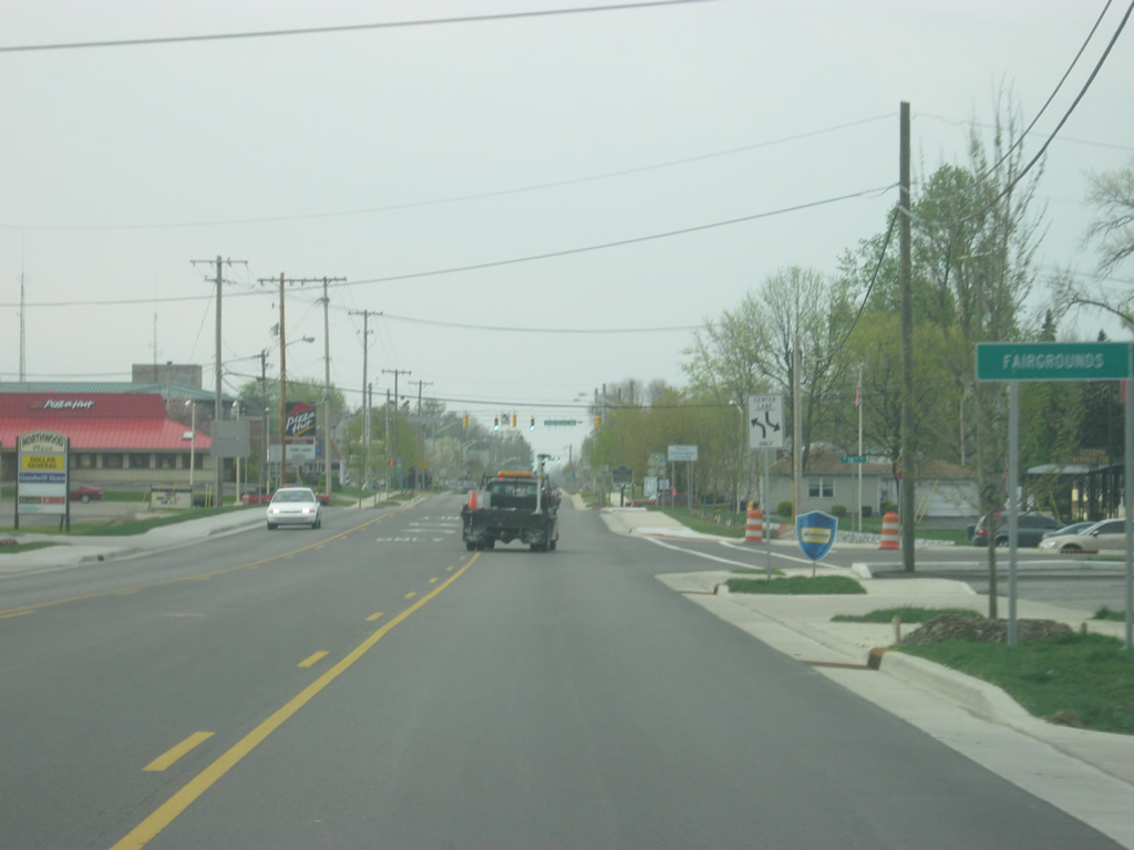
SR 3 (Main Street) nears the intersection with Park Boulevard, a local road connecting SR 3 with the Rush County Fairgrounds to the southwest. The signalized intersection beyond that is with Conrad Harcourt Way.
04/19/10
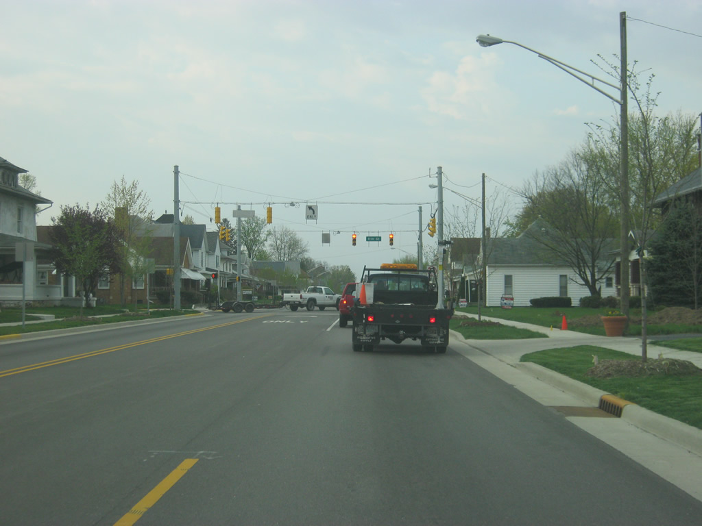
South of Conrad Harcourt Way, SR 3 (Main Street) south becomes a residential corridor across the middle of Rushville. In the late 2000s, the highway was rebuilt in the city to make it more aesthetically pleasing. The improvements included a center turn lane, new sidewalks, curbs, signals and signage.
04/19/10
A CSX railroad crossing marks the transition between the north side neighborhoods and Downtown Rushville along SR 3 (Main Street).
04/19/10
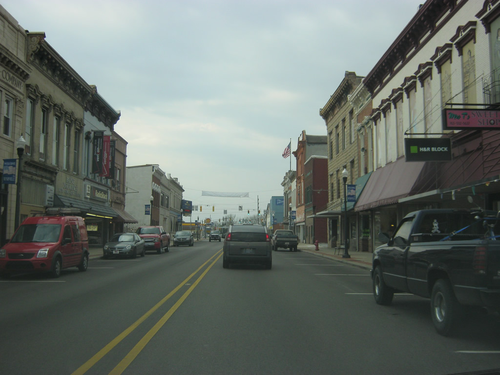
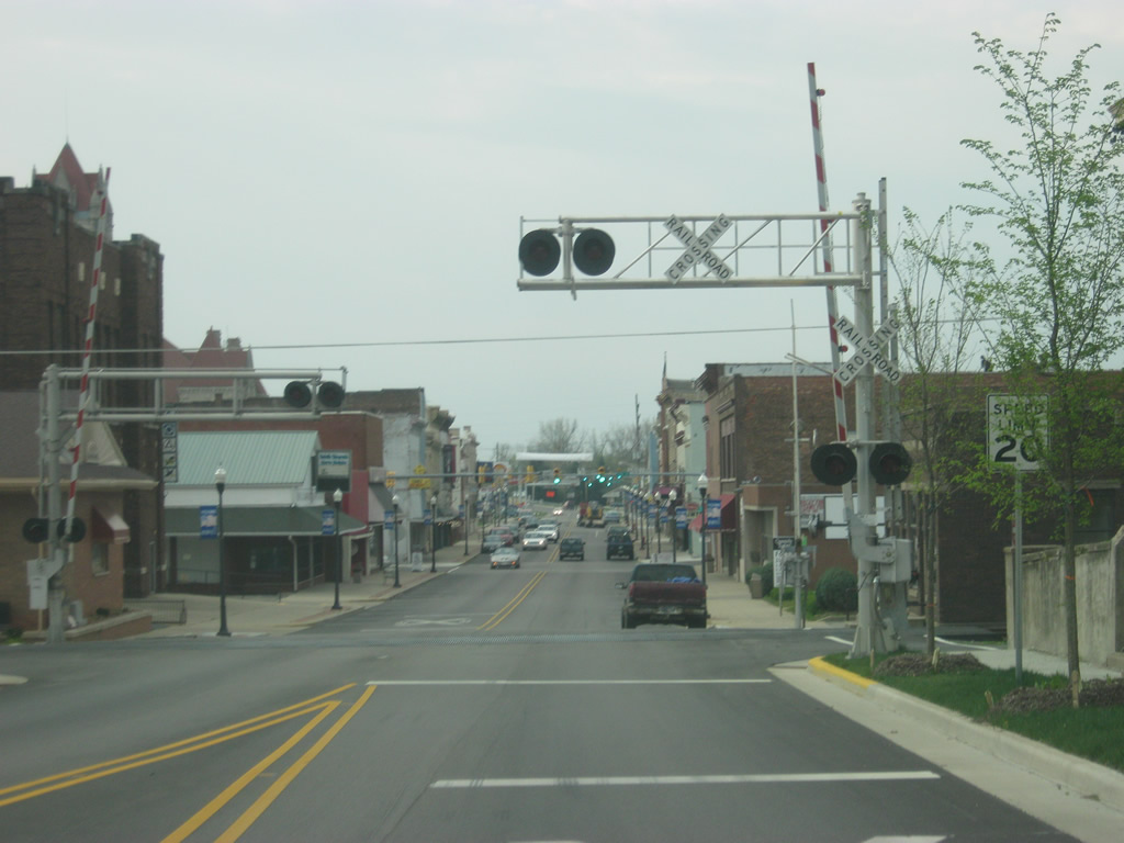
Passing through the heart of Downtown Rushville along SR 3 (Main Street) south. This view shows the newly rebuilt highway through the downtown area between 3rd and 2nd Streets.
04/19/10
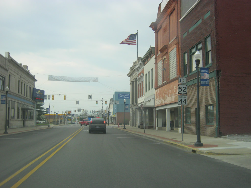
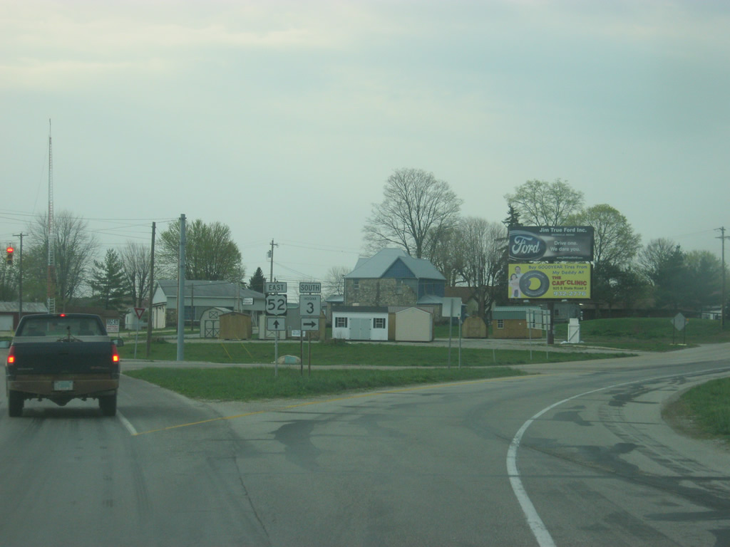
SR 3 (Main Street) approaches the intersection with U.S. 52 west and SR 44 (2nd Street). U.S. 52 travels Indiana for 171 miles from west of Kentland, through Lafayette, Lebanon, Indianapolis, Rushville and Brookville before leaving along Interstate 74 near Harrison, Ohio. Nationally, U.S. 52 goes for 2,072 miles from the Canadian border in Portal, North Dakota to the Atlantic Ocean in Charleston, South Carolina.
04/19/10
Now at the intersection of SR 3 (Main Street) south and U.S. 52 west and SR 44 (2nd Street). SR 44 runs for 90 miles from SR 37 in Martinsville east through Franklin, Shelbyville, Rushville, Connersville and Liberty before leaving at the Ohio border. U.S. 52 east will follow SR 3 (Main Street) to their split south of Downtown Rushville.
04/19/10
 East
East 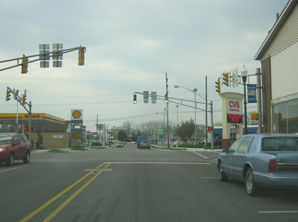
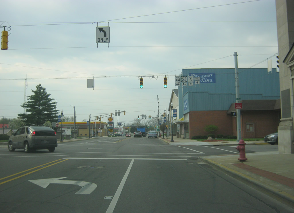
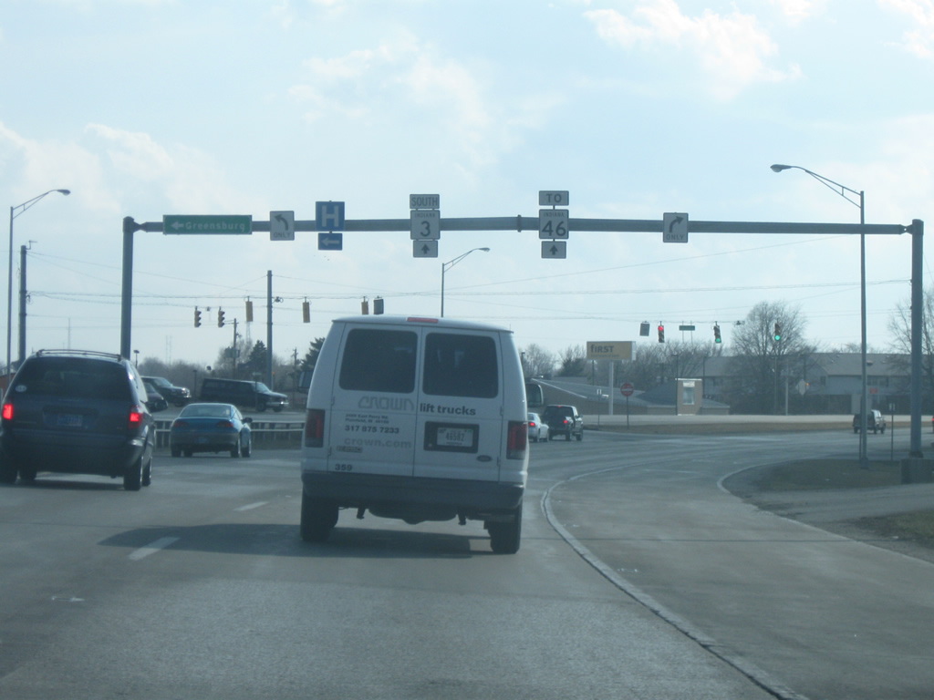
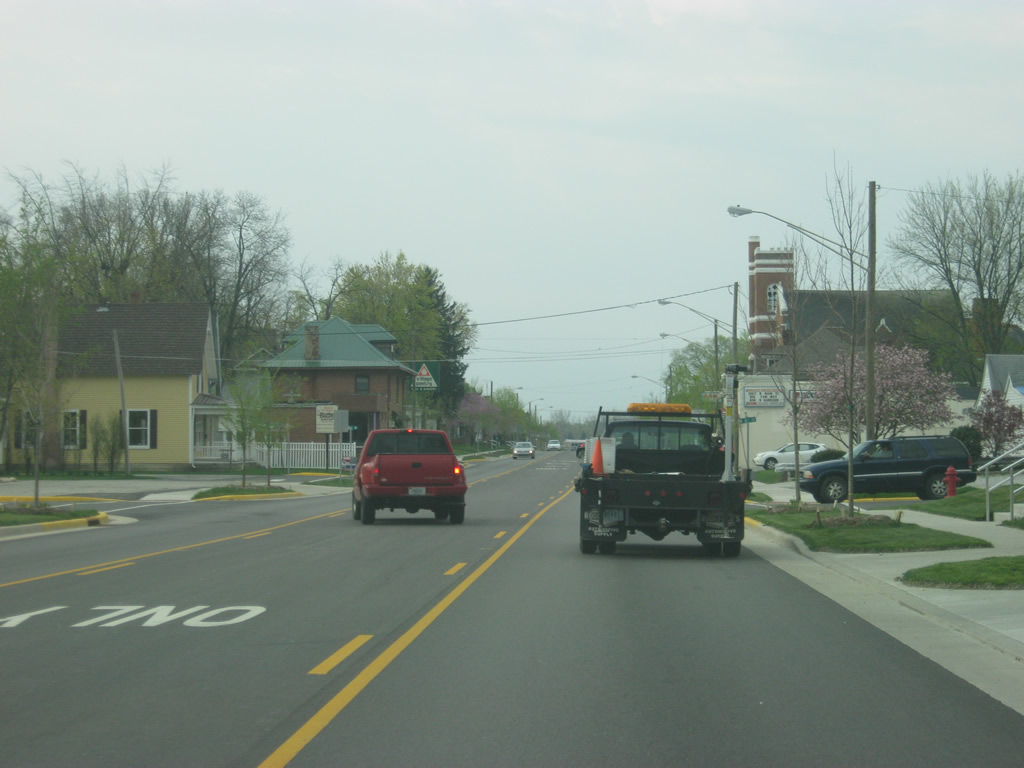
The next intersection along U.S. 52 east & SR 3 south (Main Street) is with 1st Street. 1st Street doubles as a truck route for SR 44 and U.S. 52 west, which is rare concept for Indiana. Like business routes, the truck route designation is merely a local designation meant to keep semis off of 2nd Street (SR 44 & U.S. 52) through Downtown Rushville.
04/19/10
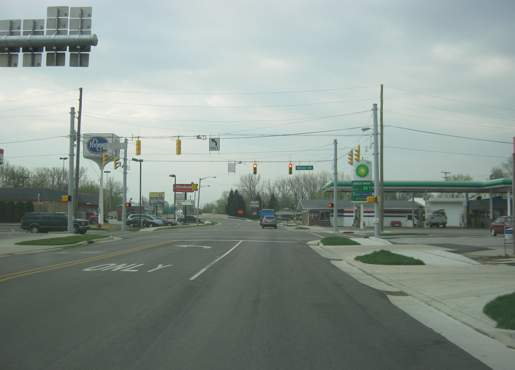
The final stoplight in Downtown Rushville along U.S. 52 east & SR 3 (Main Street) south is with Water Street.
04/19/10
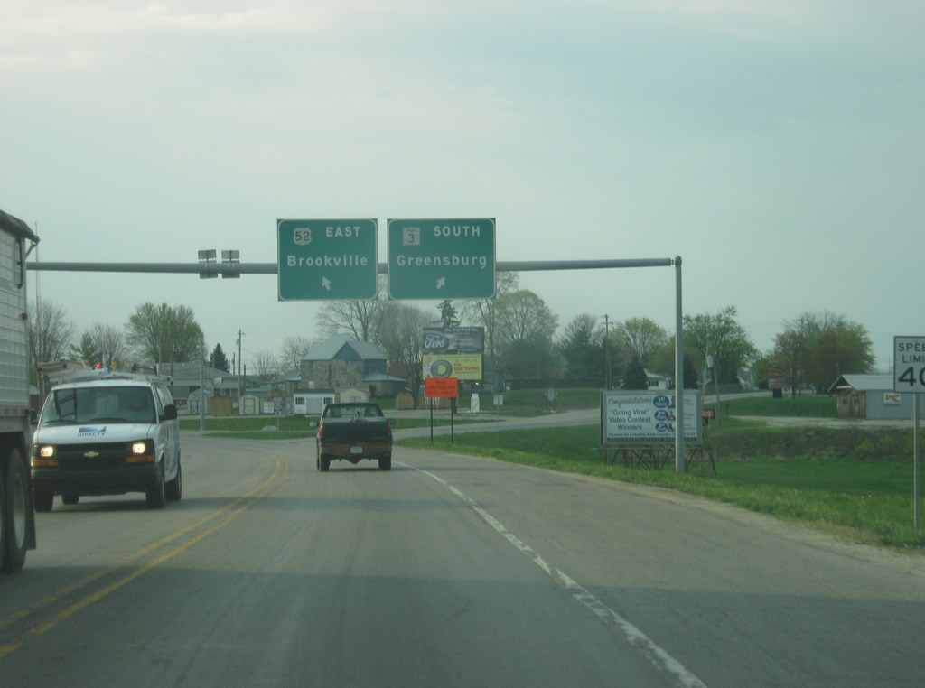
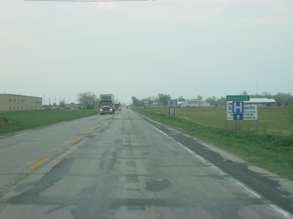
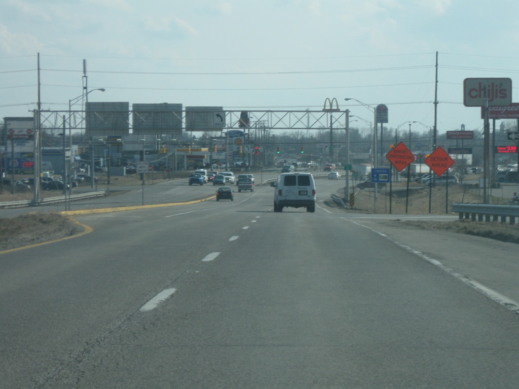
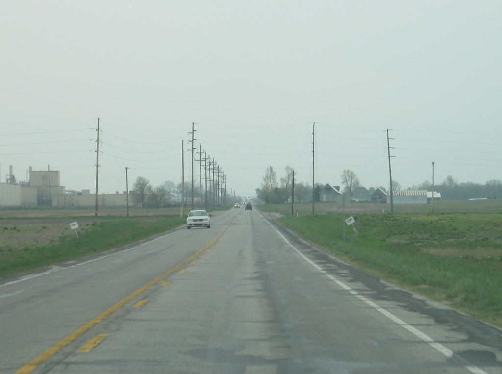
Button-copy guide signs direct traffic south of the bridge over the Flatrock River to the split of U.S. 52 east from SR 3 south. U.S. 52 east continues along a 30 mile journey to the Franklin County seat of Brookville while SR 3 curves southwest en route to the Decatur County seat of Greensburg.
04/19/10
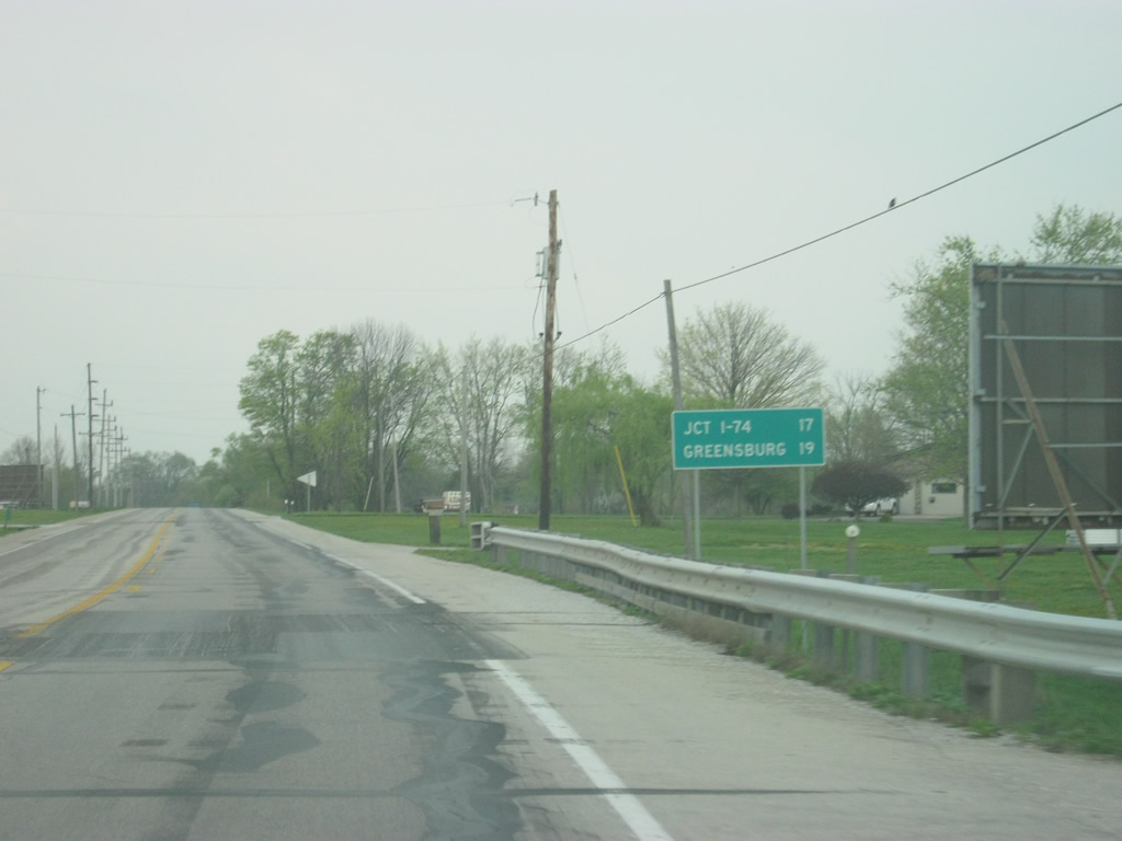
Leaving Rushville, the interchange with SR 3 and Interstate 74 is 17 miles away with Greensburg at 19 miles.
04/19/10
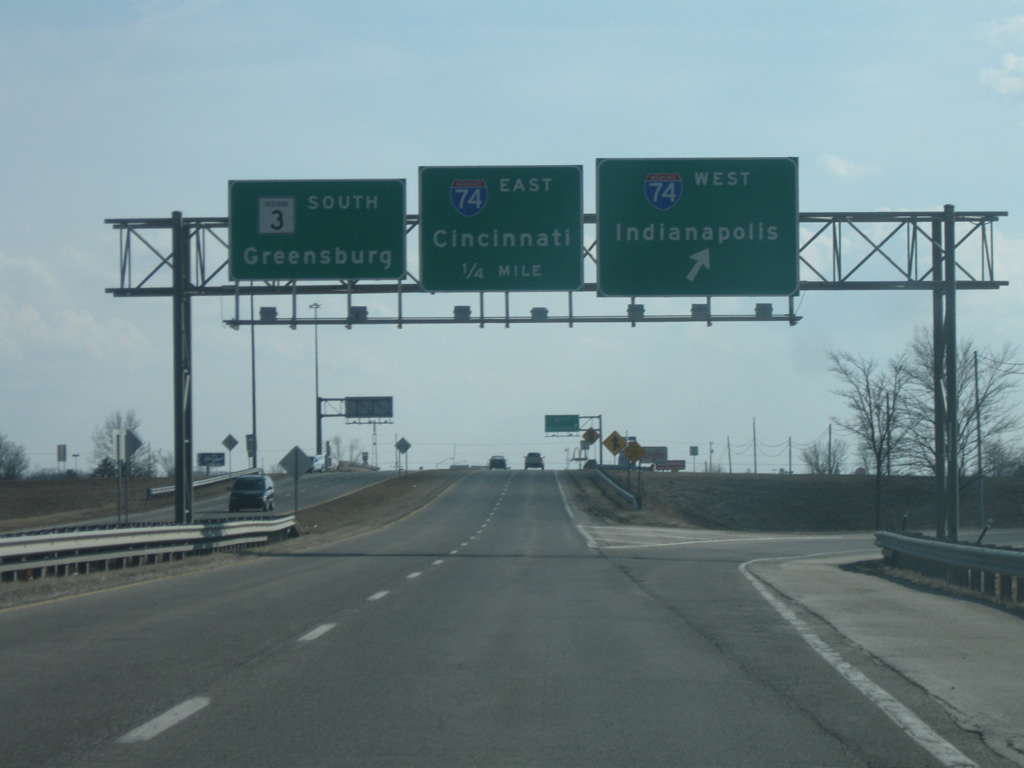
Entering the Greensburg area, SR 3 expands to four lanes at the cloverleaf interchange with Interstate 74. I-74 travels for 171.5 miles across the state, from the Illinois border near Danville east to Crawfordsville, Indianapolis, Shelbyville and Greensburg before crossing into Ohio near Cincinnati. Nationally, the highway goes for 428.8 miles from Davenport, Iowa to Cincinnati, Ohio plus another section in North Carolina.
03/10/10
South of Interstate 74, SR 3 enters a commercial area for the city of Greensburg, the county seat of Decatur County. The first intersection is with Freeland Road, which serves a couple of shopping centers adjacent to the interstate interchange.
03/10/10
Lincoln Street partitions from the SR 3 expressway toward Downtown Greensburg. SR 3 bypasses most of the city to the northwest on a southwesterly trajectory toward its junction with SR 46 west of town. Lincoln Street represents the original routing of SR 3 to SR 46 (Main Street). From there, SR 3 went west along Main Street to its current routing with SR 46.
03/10/10
A couple of miles further south, SR 3 joins SR 46 west for a five mile multiplex southwest of Greensburg. SR 46 travels for about 154 miles from U.S. 40 in Terre Haute southeast through Spencer, Bloomington, Nashville, Columbus, Greensburg and Batesville before ending at U.S. 52 near the Ohio border.
12/17/11
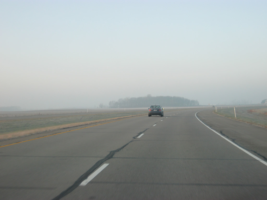
Southwest of Greensburg and Craig, SR 3 south & SR 46 west journey along an lightly-traveled divided highway.
12/17/11
The four lane expressway ends as SR 3 prepares to leave SR 46 to continue its southward journey.
12/17/11
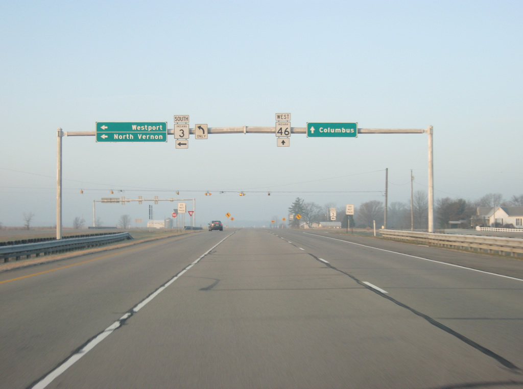
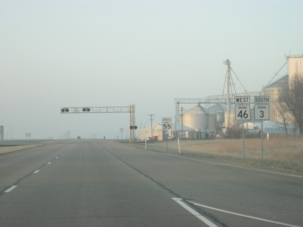
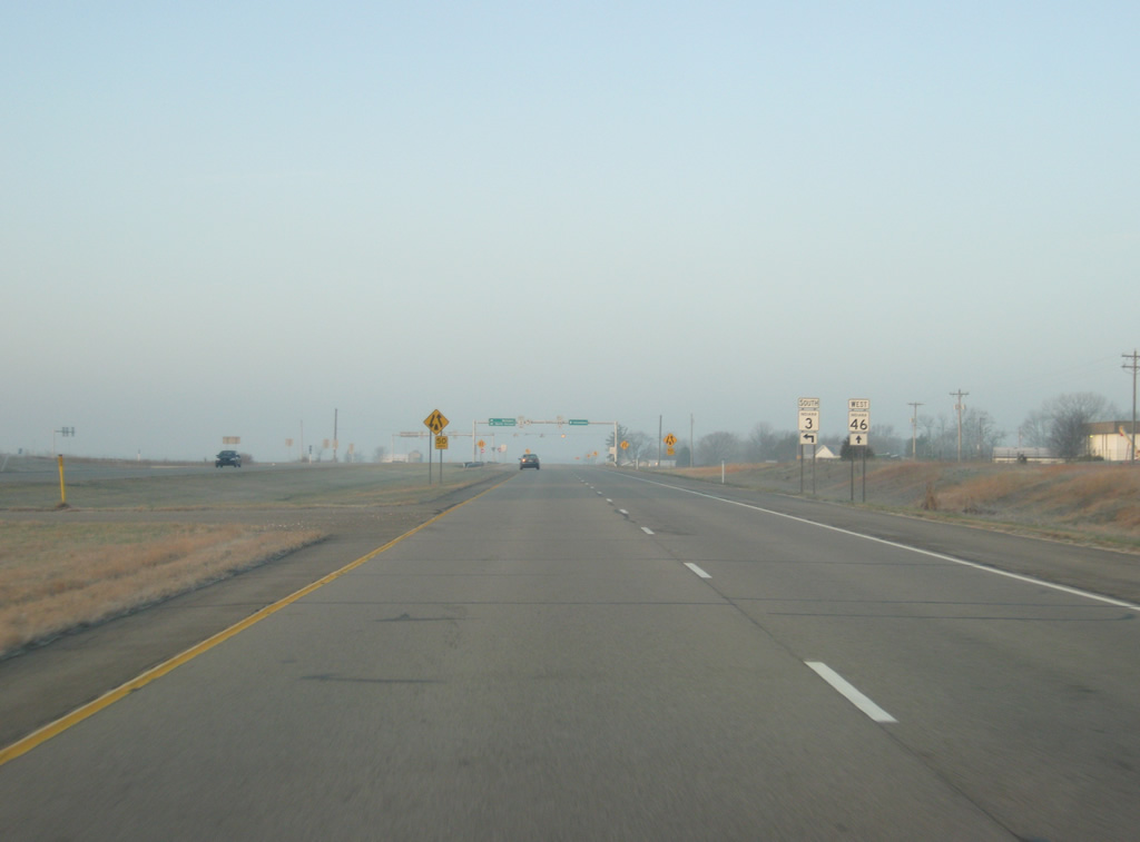
SR 46 continues west for a 27 mile trek to the Bartholomew County seat of Columbus and Interstate 65. SR 3 heads south toward Westport and North Vernon.
12/17/11
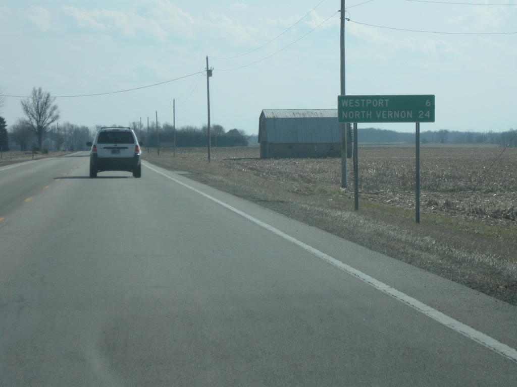
South of SR 46, SR 3 is six miles from the southern Decatur County town of Westport and 24 miles from the Jennings County city of North Vernon.
03/10/10
Photo Credits:
- Thomas Decker: 03/10/10, 04/19/10, 12/17/11
Connect with:
Page Updated Wednesday November 28, 2012.