
State Road 13 South - Wabash to Elwood
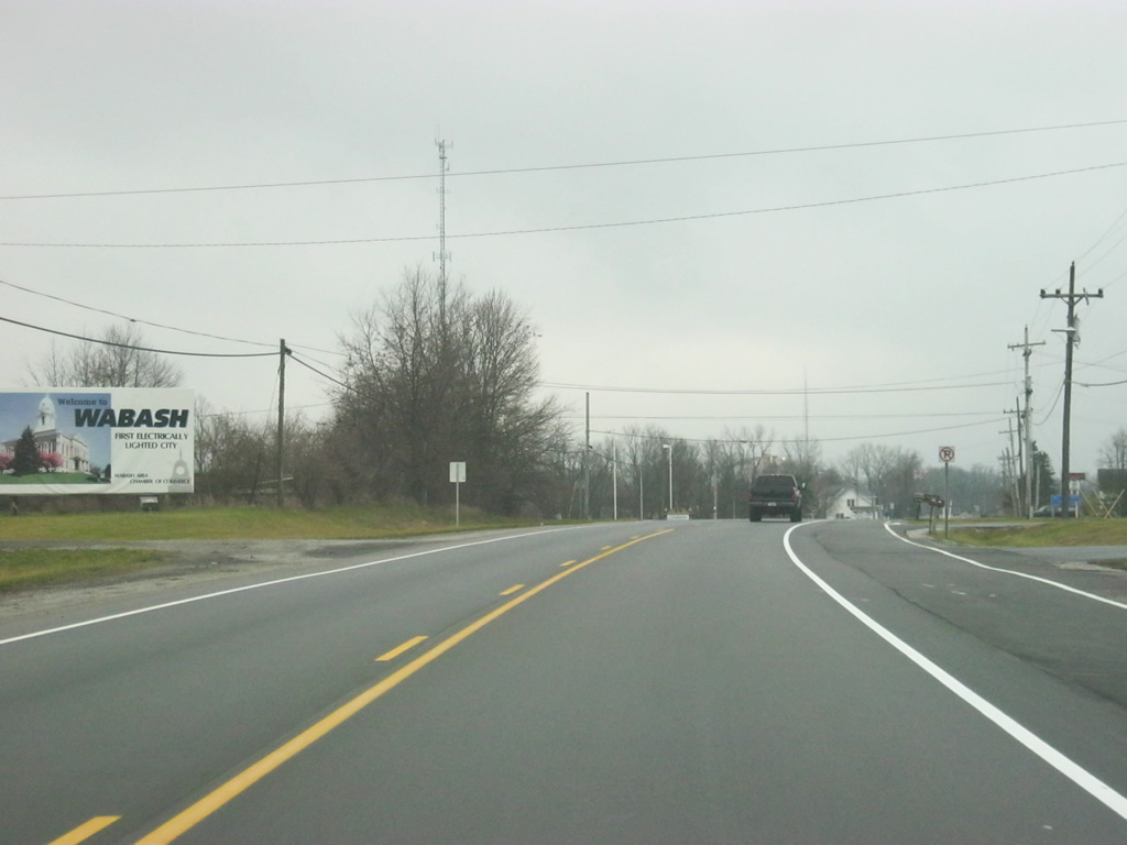
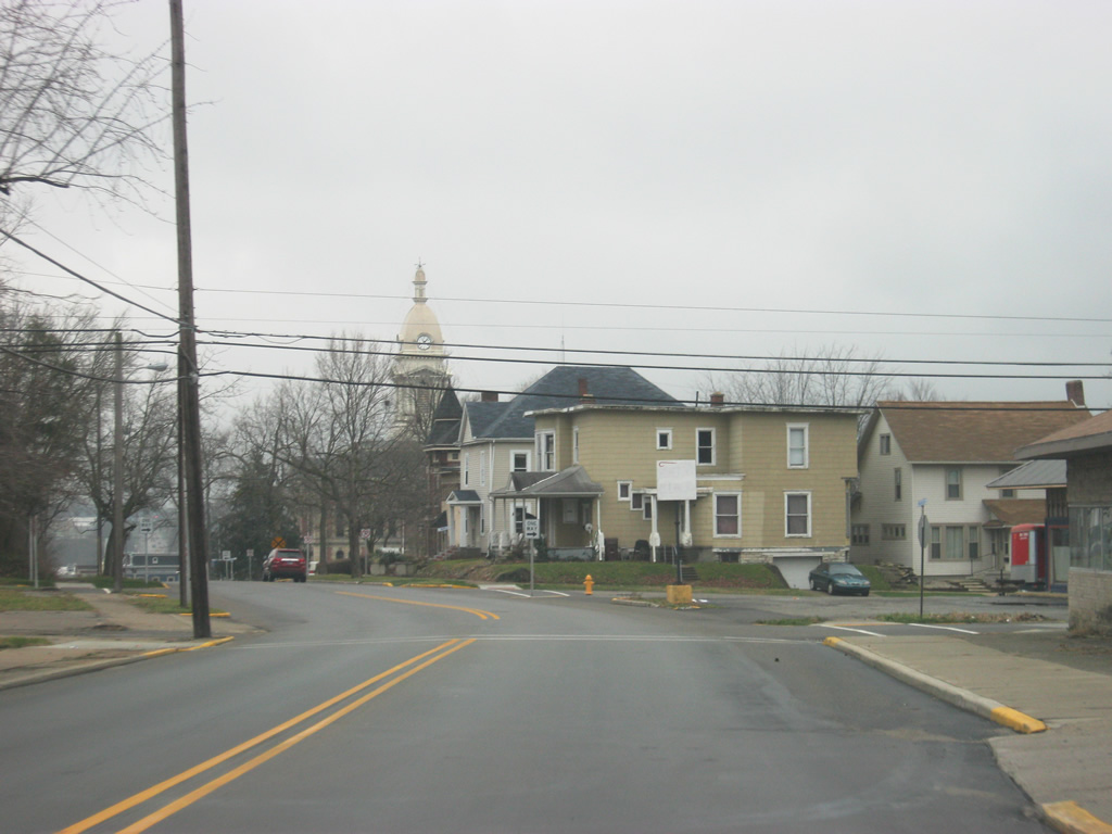
SR 13 heads south of the U.S. 24 and enters the city of Wabash (population 10,666). Wabash's claim to fame is that it was the first electrically lighted city in the world, being first lighted in 1880. For the first part of its trip through Wabash, SR 13 will follow Manchester Avenue.
12/27/10
A view of SR 13 (Manchester Avenue) through the northeast side of Wabash.
12/27/10
Manchester Avenue not only carries SR 13, but also Business U.S. 24. Until the 1990s, U.S. 24 was routed through Wabash, but it has since been routed to the north of town as part of the larger Hoosier Heartland Highway. As with any business route in Indiana, Business U.S. 24 is merely a local designation.
12/27/10
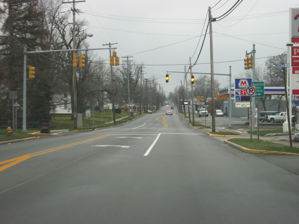
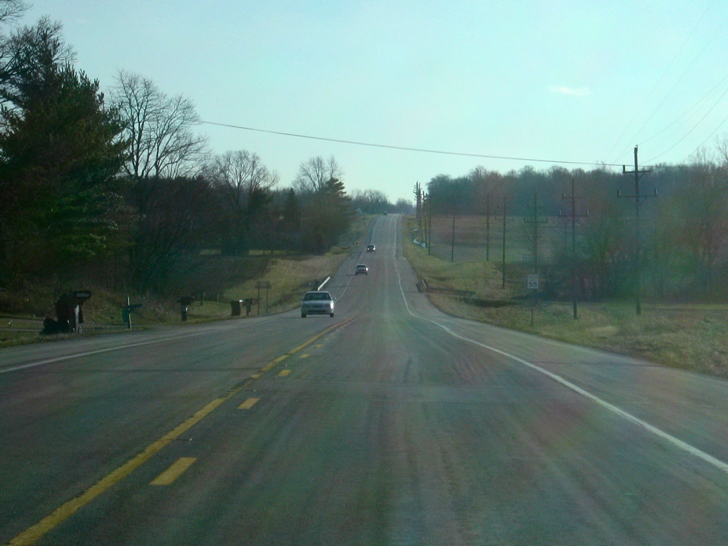
SR 13 (Manchester Avenue) crosses the intersection with Harrison Street, which leads west to Wabash High School.
12/27/10
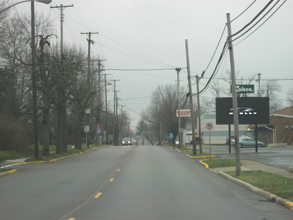
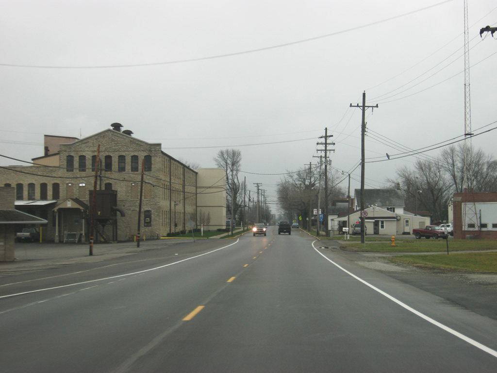
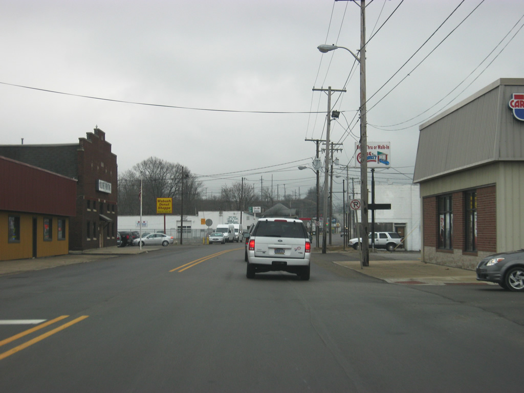
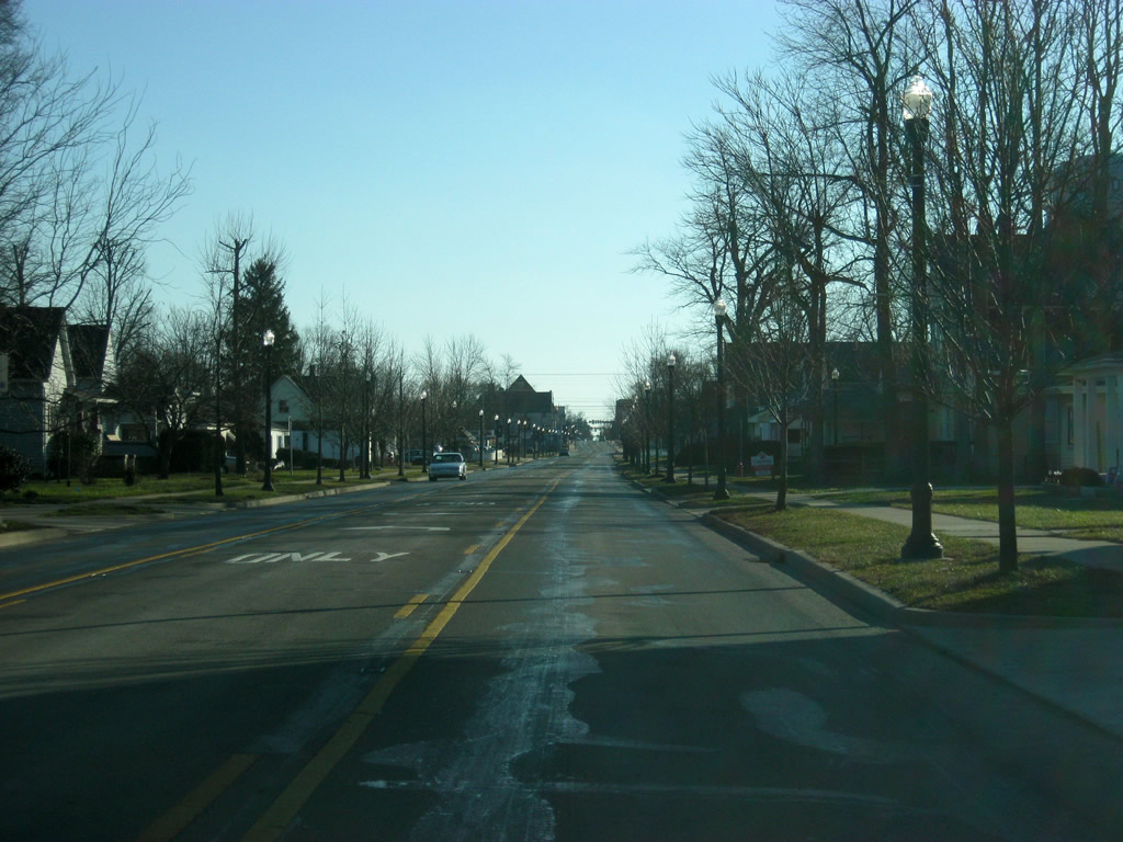
Another view of SR 13 (Manchester Avenue) as it gets deeper into the city of Wabash.
12/27/10
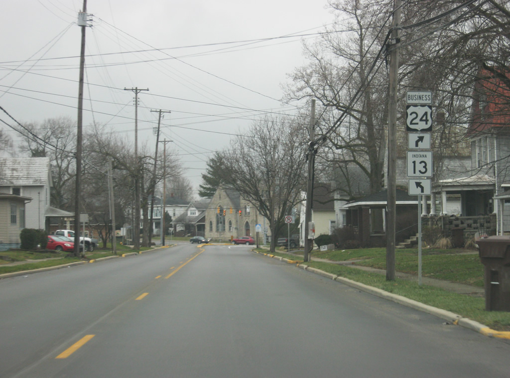
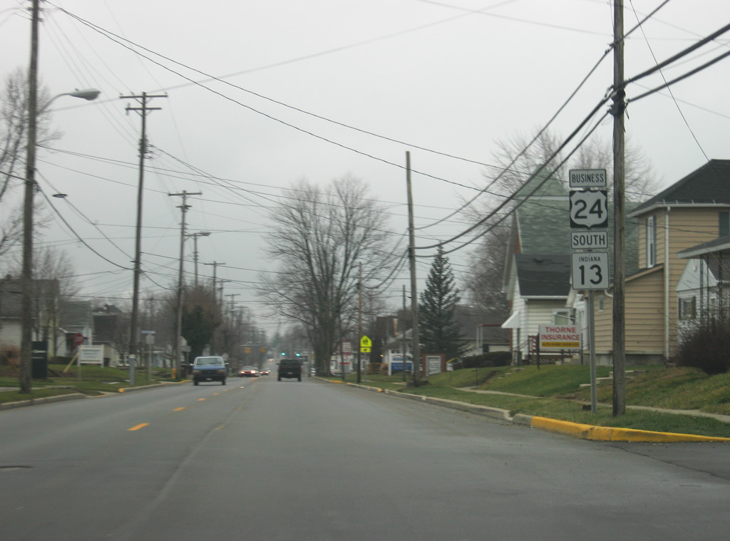
SR 13 (Manchester Avenue) approaches the location where it will split off from Business U.S. 24.
12/27/10
Now at the intersection with Wabash Street. SR 13 turns left toward southbound Wabash Street while Business U.S. 24 turns right and continues west along Stitt Street to the U.S. 24 expressway on the west side of town.
12/27/10
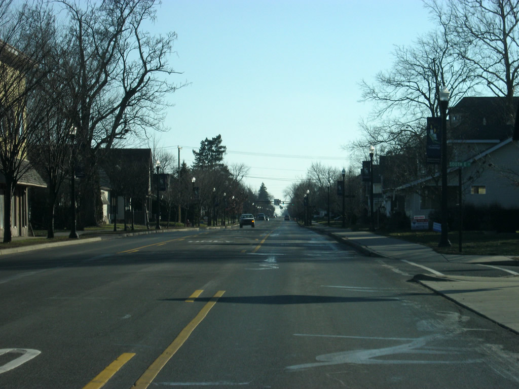
SR 13 follows Wabash Street toward Downtown Wabash. The Wabash County Courthouse can be seen in the distance.
12/27/10
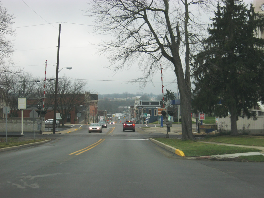
SR 13 (Wabash Street) crosses the Norfolk Southern railroad as it enters Downtown Wabash.
12/27/10

SR 13 (Wabash Street) approaches the intersection with SR 15 north at Market Street. To the right is the Wabash County courthouse.
12/27/10
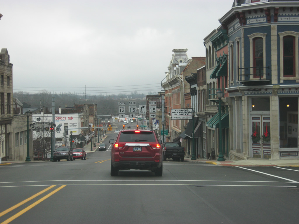
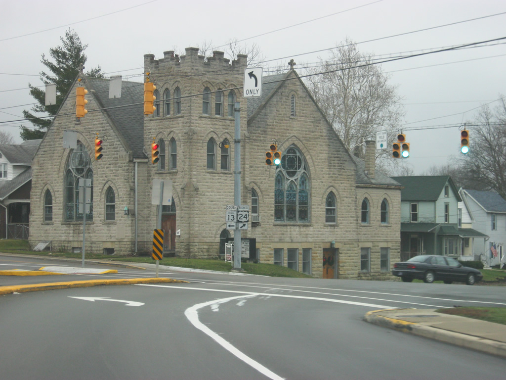
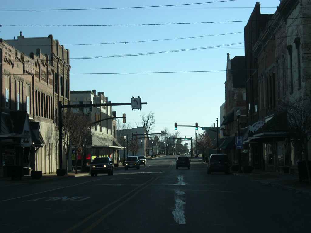
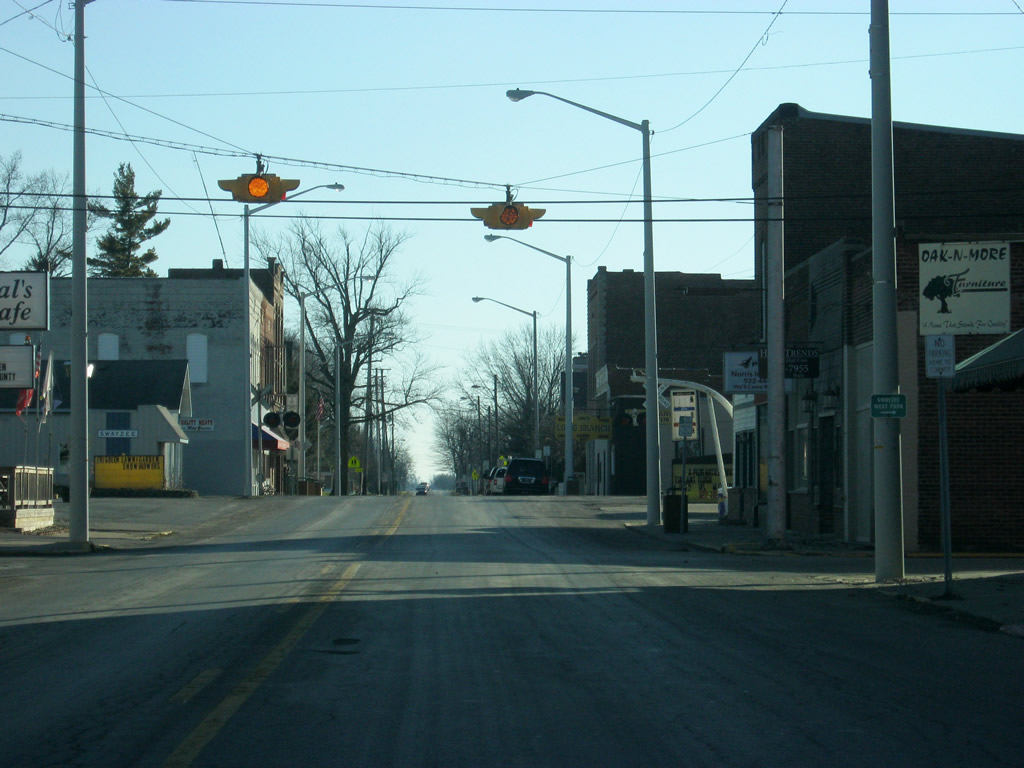
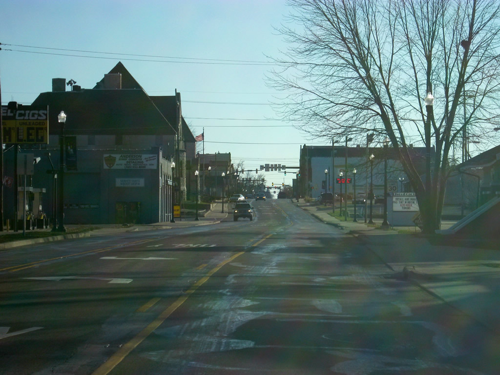
SR 13 (Wabash Street) enters the heart of Downtown Wabash. The stoplight ahead is with Market Street, carrying SR 15 north. SR 15 is a 95 mile highway that begins in Jonesboro at U.S 35/SR 22 and heads north through Marion, Wabash, Warsaw and Goshen before crossing over into Michigan.
12/27/10
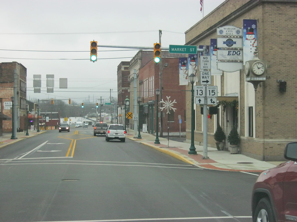
Now at the intersection of SR 13 (Wabash Street) and SR 15 north (Market Street).
12/27/10
SR 13 multiplexes with SR 15 as they head south along Wabash Street through the industrial bottomlands of the Wabash River valley to the south of Downtown Wabash.
12/27/10
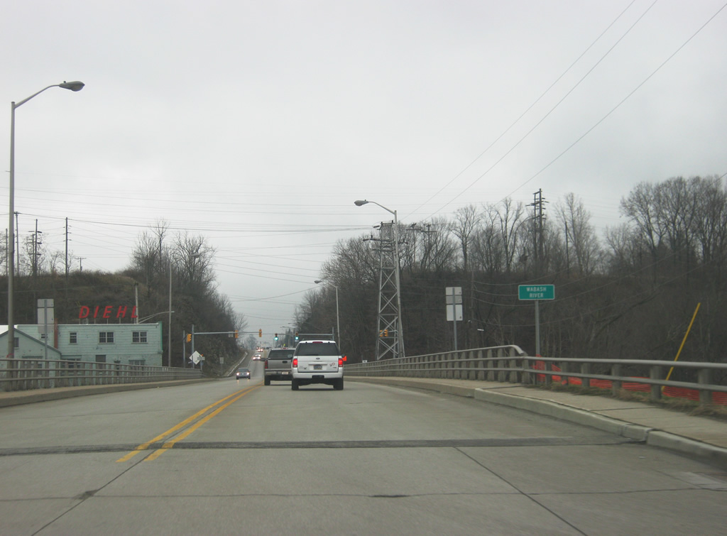
SR 13/SR 15 (Wabash Street) crosses the namesake for the city, the Wabash River. The Wabash River, the state river of Indiana, goes for 500 miles across the state of Indiana from far western Ohio to the Ohio River in the southwestern corner of Indiana.
12/27/10
SR 13/SR 15 (Wabash Street) adds an extra climbing lane as it ascends from the bottom of the valley of the Wabash River.
12/27/10
On the south side of Wabash, SR 13 heads off toward the southwest as it follows Southwood Drive out of town. SR 15 will continue along Wabash Street toward the southeast en route to Marion. Traffic bound for Salamonie Reservoir is advised to stay on SR 15 while traffic bound for Mississinewa Reservoir is directed south along SR 13.
12/27/10
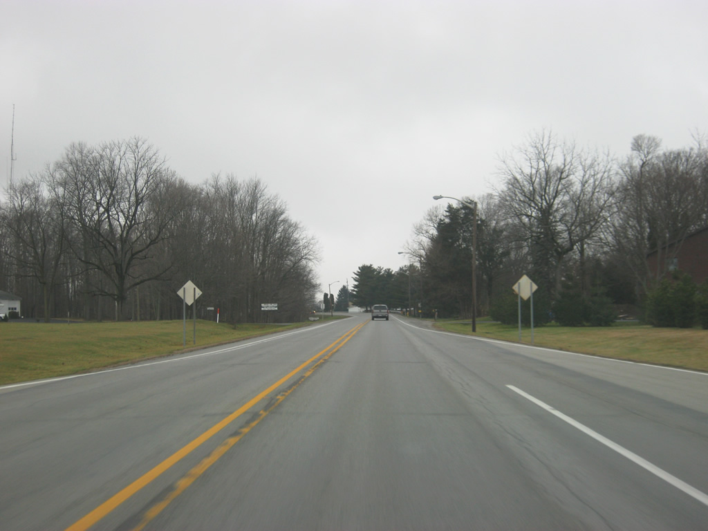
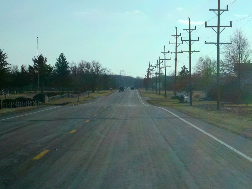
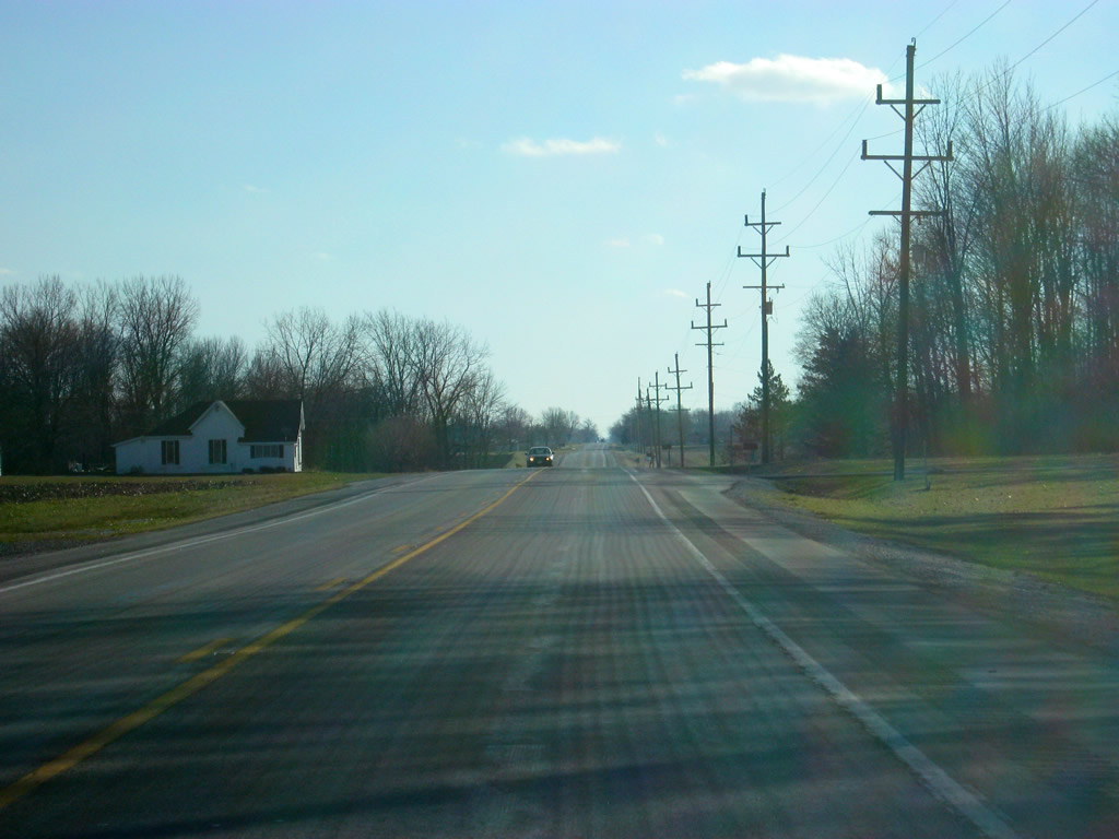
A view of SR 13 (Southwood Drive) south of the split with SR 15 (Wabash Street) as it leaves the city of Wabash.
12/27/10
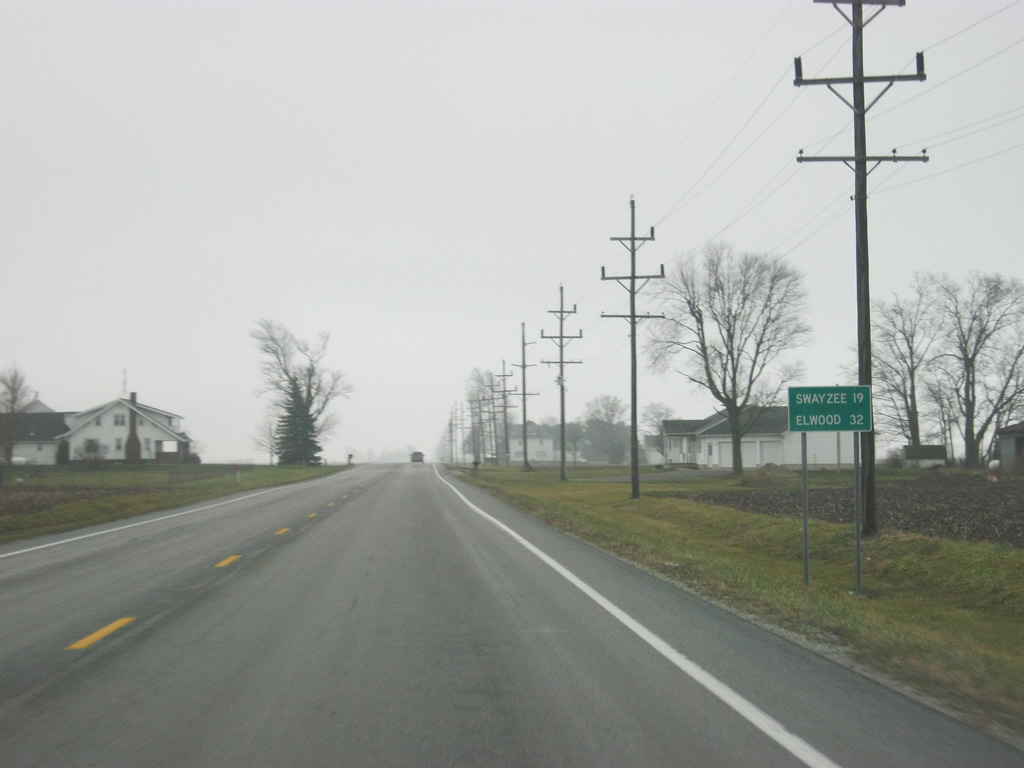
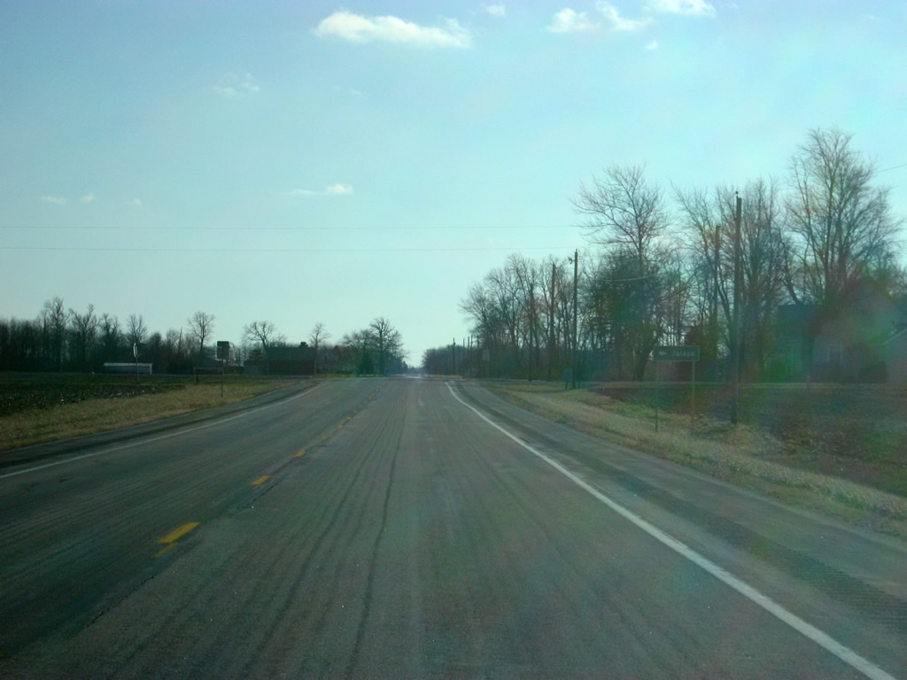
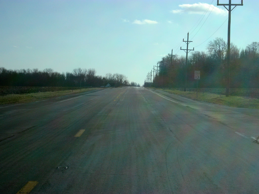
South of the Wabash city limits, Swayzee is now 19 miles away with the next large community, Elwood at 32 miles. SR 13 will not touch any large communities other than Swayzee and Elwood.
12/27/10
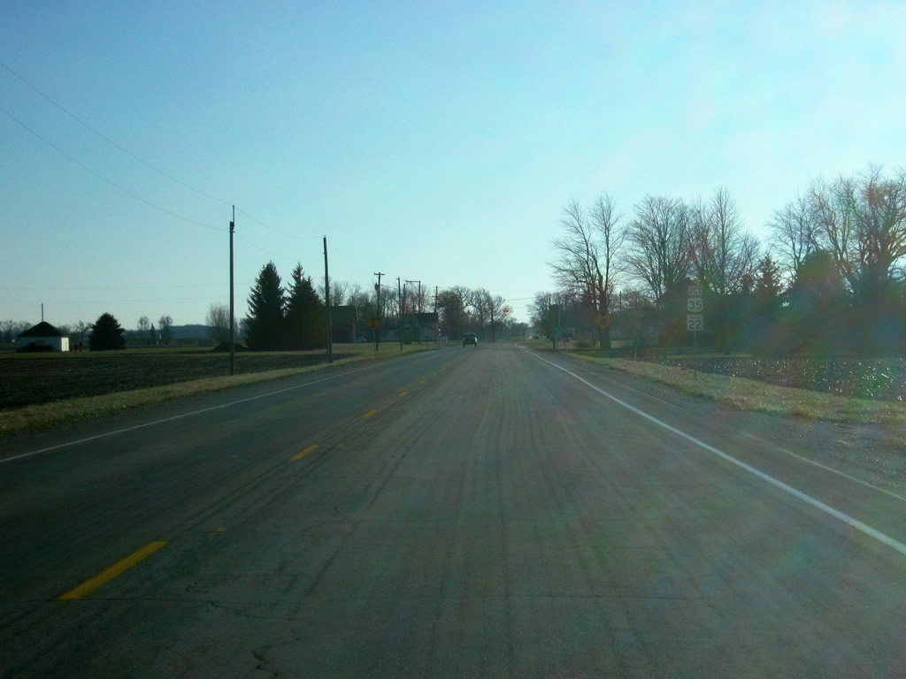
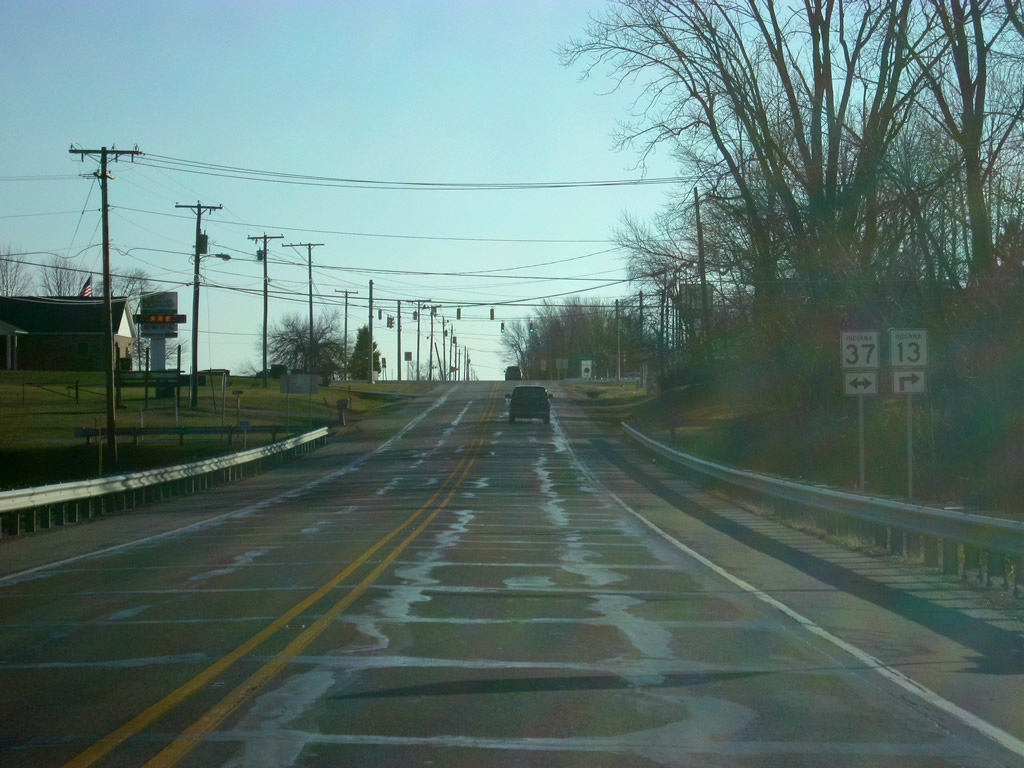
A reassurance shield for SR 13 south of the SR 124 junction.
01/16/11
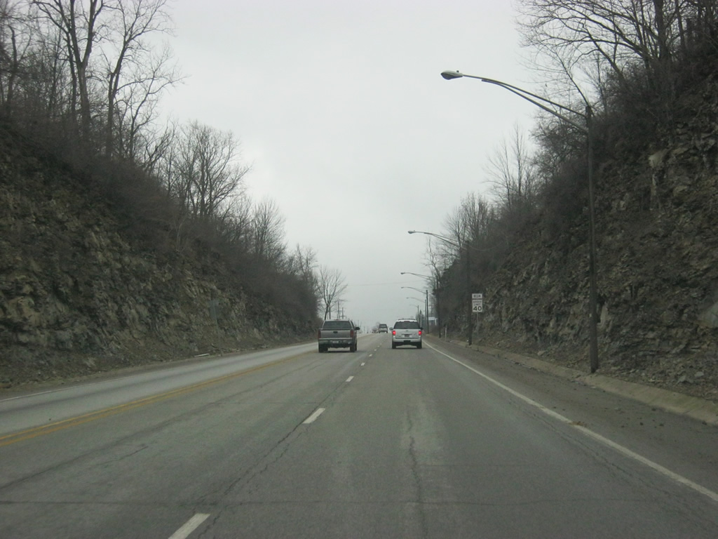
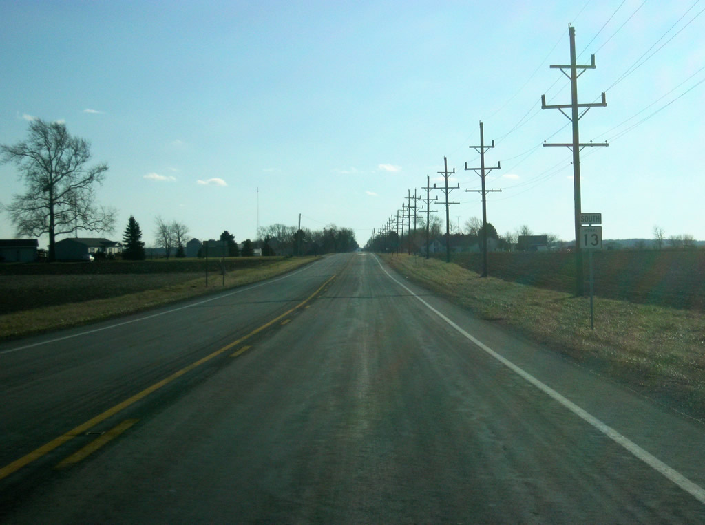
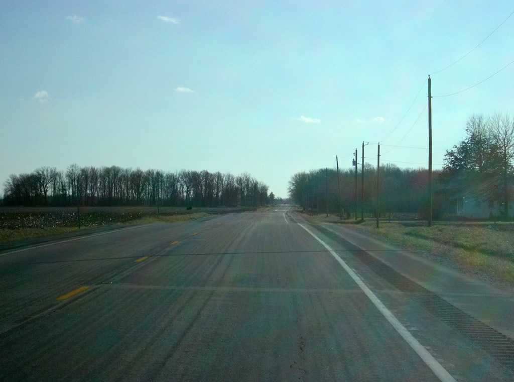
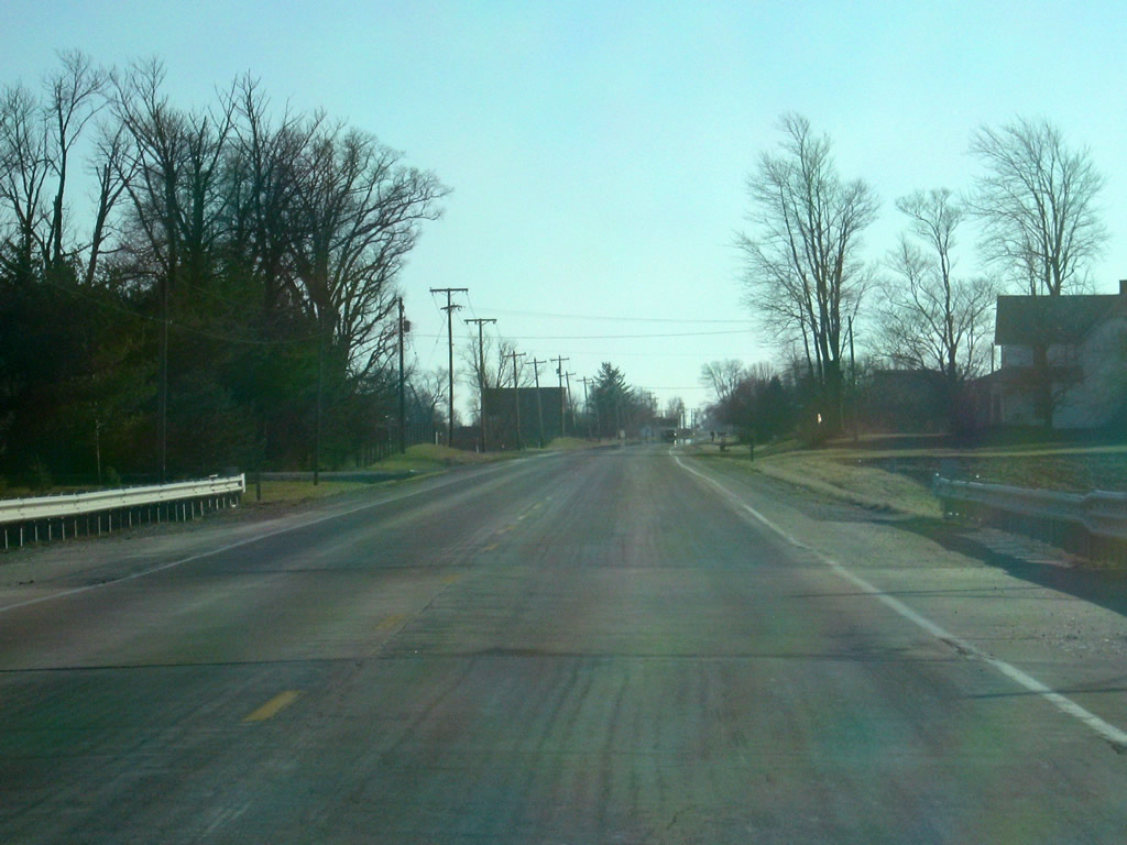
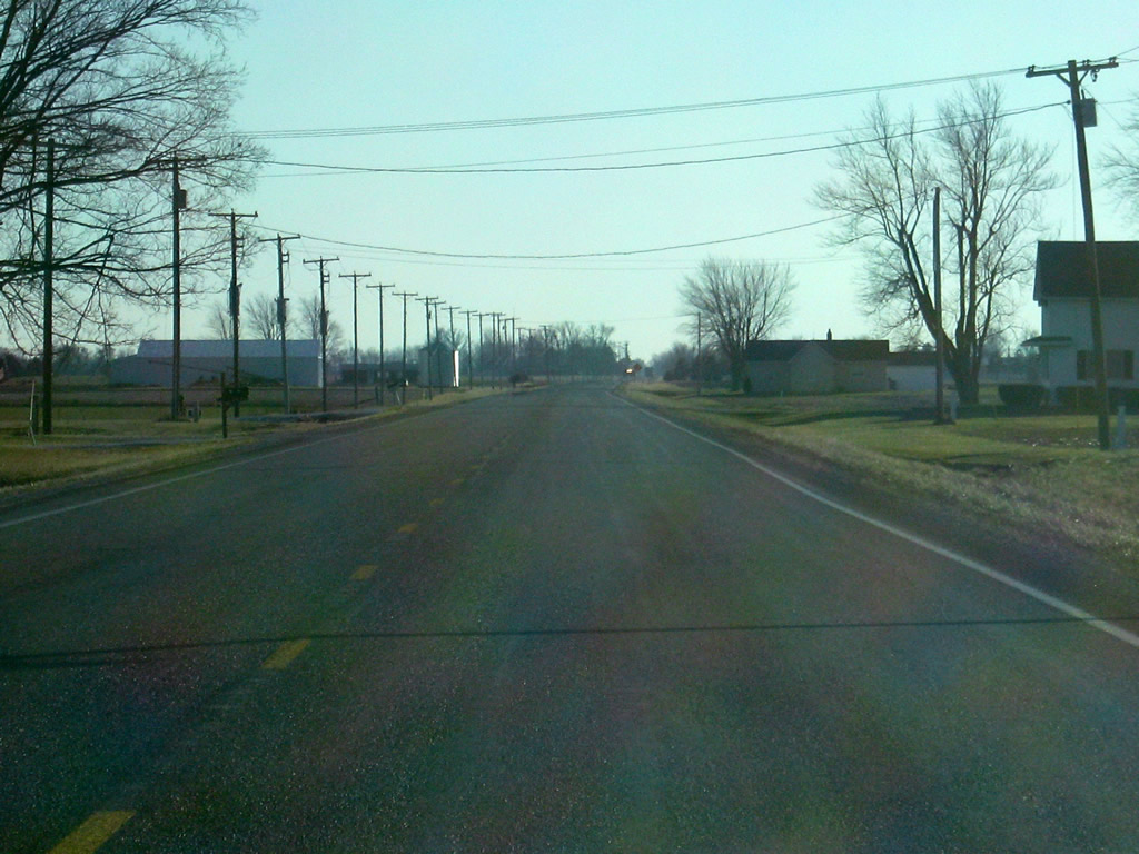
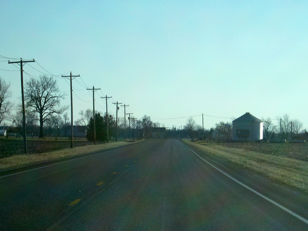
A view of SR 13 as it crosses southern Wabash County.
01/16/11
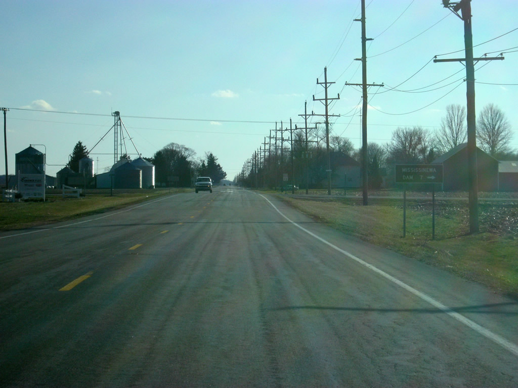
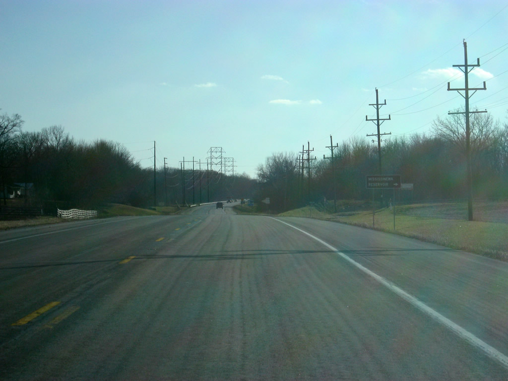
SR 13 comes up to the intersection with County Road 700 South, leading off toward the dam of Mississinewa Reservoir, seven miles to the west.
01/16/11
SR 13 to the south of the intersection with County Road 700 South.
01/16/11
Now at the intersection with County Road 950 South, which leads toward the Mississinewa Reservoir area.
01/16/11

A view of SR 13 as it crosses the Mississinewa River.
01/16/11
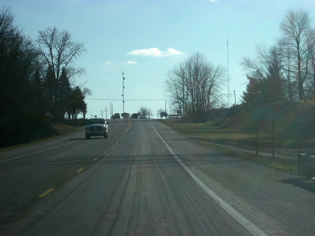
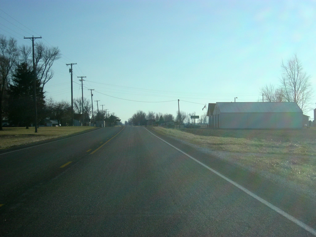
South of the crossing with the Mississinewa River, SR 13 passes by the small towns of Somerset and Mount Vernon. Officially, Somerset lies to the west of the highway while Mount Vernon lies to the east.
01/16/11
Views of SR 13 as it passes from Wabash into Grant County (population 70,061).
01/16/11
Now inside Grant County, SR 13 comes up to the intersection with County Road 500 North, which leads to the town of Jalapa to the east.
01/16/11
SR 13 to the south of the intersection with County Road 500 North.
01/16/11
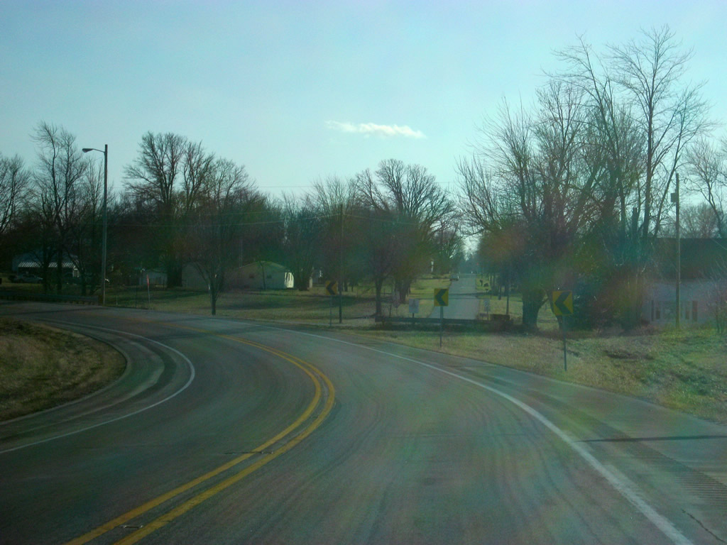
SR 13 curves toward the southeast as it approaches its junction with SR 18. Originally, SR 13 continued straight as it passes over a set of railroad tracks.
01/16/11
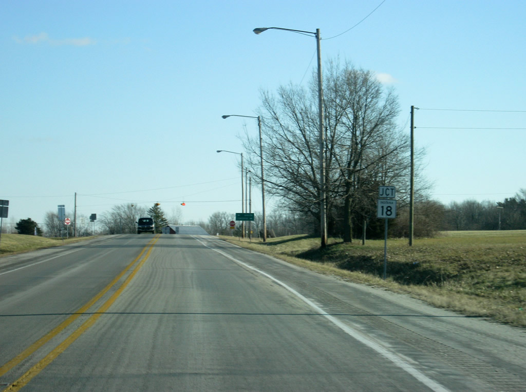
Now approaching the intersection with SR 18. SR 18 goes for 141 miles from the Illinois border to U.S. 27 in Bryant. The highway travels through Fowler, Delphi, Galveston, Converse, Marion and Montpelier along its route.
01/16/11
The Grant County seat of Marion lies about eight miles to the east and the town of Converse is located just a couple of miles to the west at the Grant-Miami County line.
01/16/11
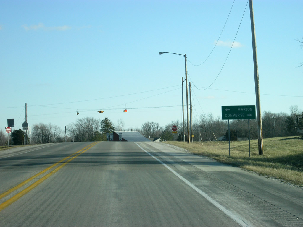
SR 13 heads west along SR 18 as the two highways briefly multiplex across the railroad tracks.
01/16/11
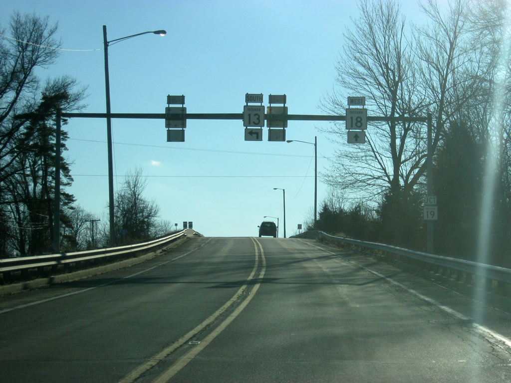
SR 13/SR 18 cross over the railroad tracks as they near the junction with SR 19. SR 19 goes for 143 miles from Noblesville through Tipton, Converse, Peru, Akron, Nappanee and Elkhart before crossing over into Michigan.
01/16/11

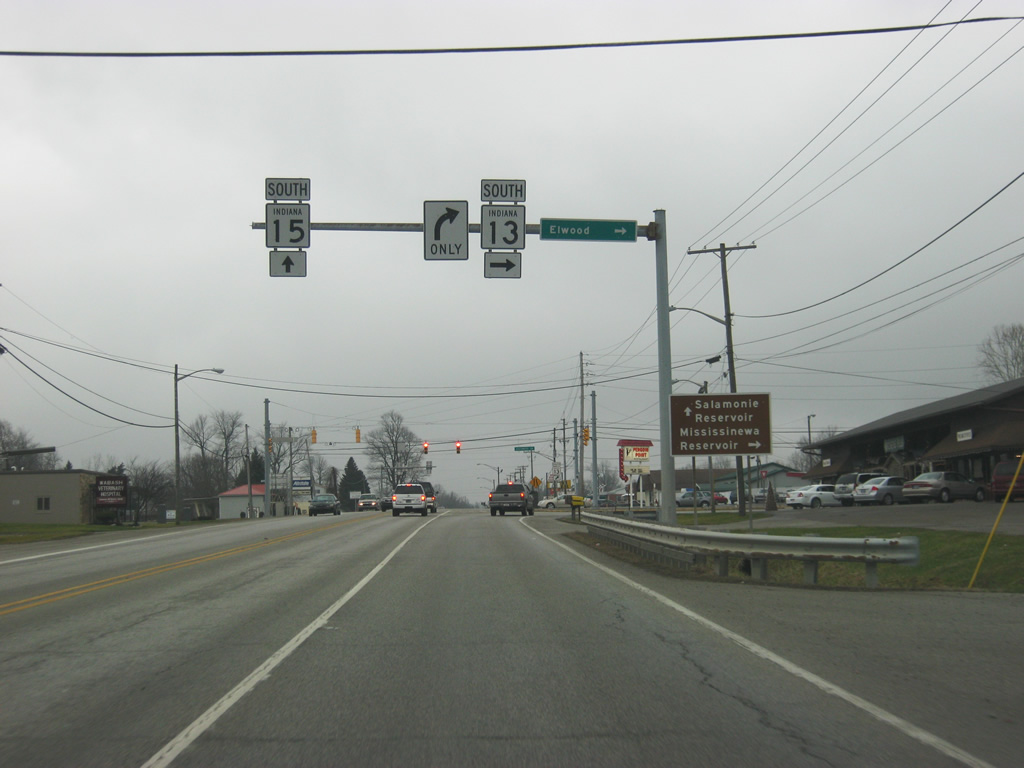
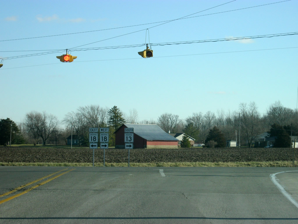
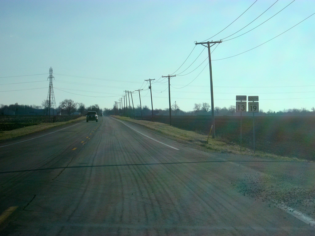
On the other side of the railroad tracks, SR 13/SR 18 approach a flasher light, where SR 13 breaks off toward the south to Swayzee and Elwood. SR 19 enters from the west and follows SR 13 to the south.
01/16/11

South of the split from SR 18/SR 19 north, SR 13/SR 19 south head back along its original routing with Swayzee at five miles and Elwood at 19 miles.
01/16/11
Reassurance shields for SR 13 and SR 19. Until 2008, SR 19 had existed in two separate segments, one going north from SR 18 and Amboy to the north and the other going from U.S. 35/SR 22 in Howard County toward the south. Despite an indication that the two segments should have been connected, they never were. Finally, SR 19 was multiplexed along SR 18, SR 13 and U.S. 35/SR 22.
01/16/11
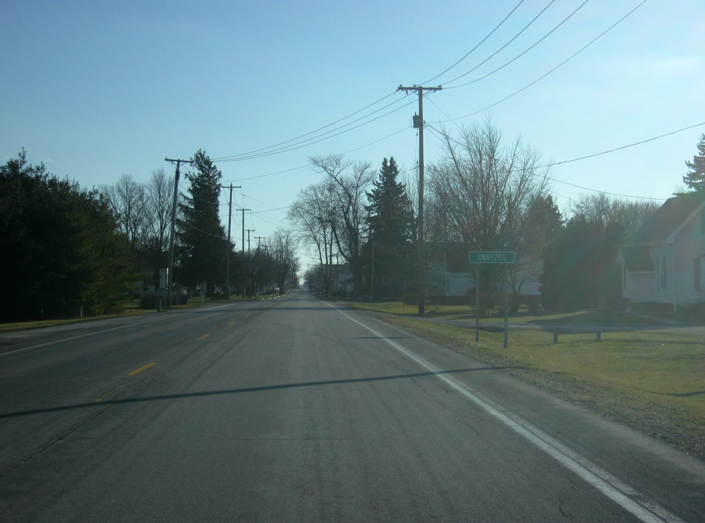
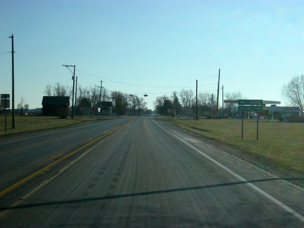
Now in western Grant County, SR 13/SR 19 enter the town of Swayzee.
01/16/11
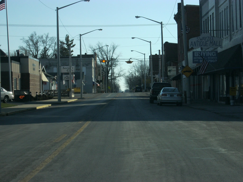
Views of SR 13/SR 19 along Washington Street through the town of Swayzee. A set of flashers hang above the intersection with Lyon Street at the heart of town.
01/16/11
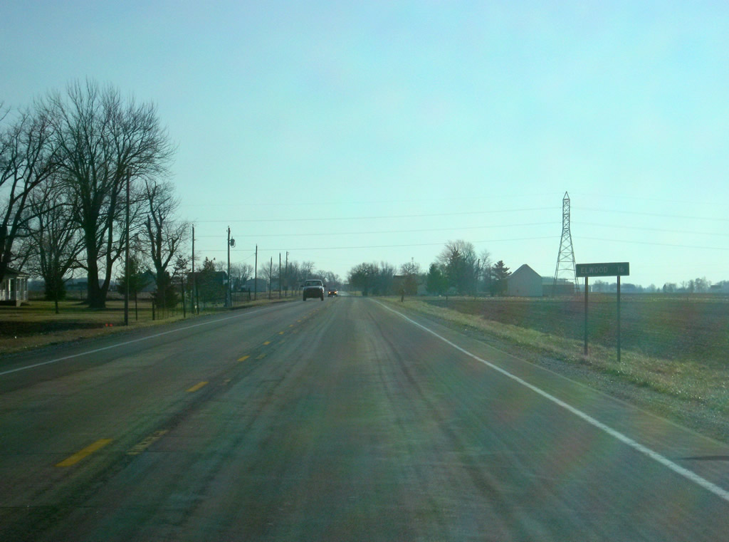
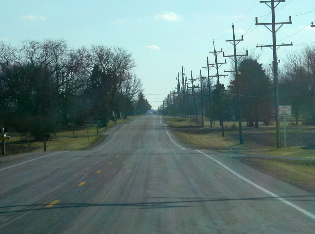
South of Swayzee, SR 13 is now 16 miles from Elwood.
01/16/11
Up ahead, SR 13/SR 19 meet U.S. 35/SR 22. U.S. 35 goes for 412 miles across the highway from Michigan City to Interstate 64 in West Virginia. In Indiana, it passes through LaPorte, Logansport, Kokomo, Gas City, Muncie and Richmond.
01/16/11
SR 22 goes for 50 miles from SR 29 in Burlington east to Kokomo, Greentown and Gas City before ending at SR 26 in Upland.
01/16/11
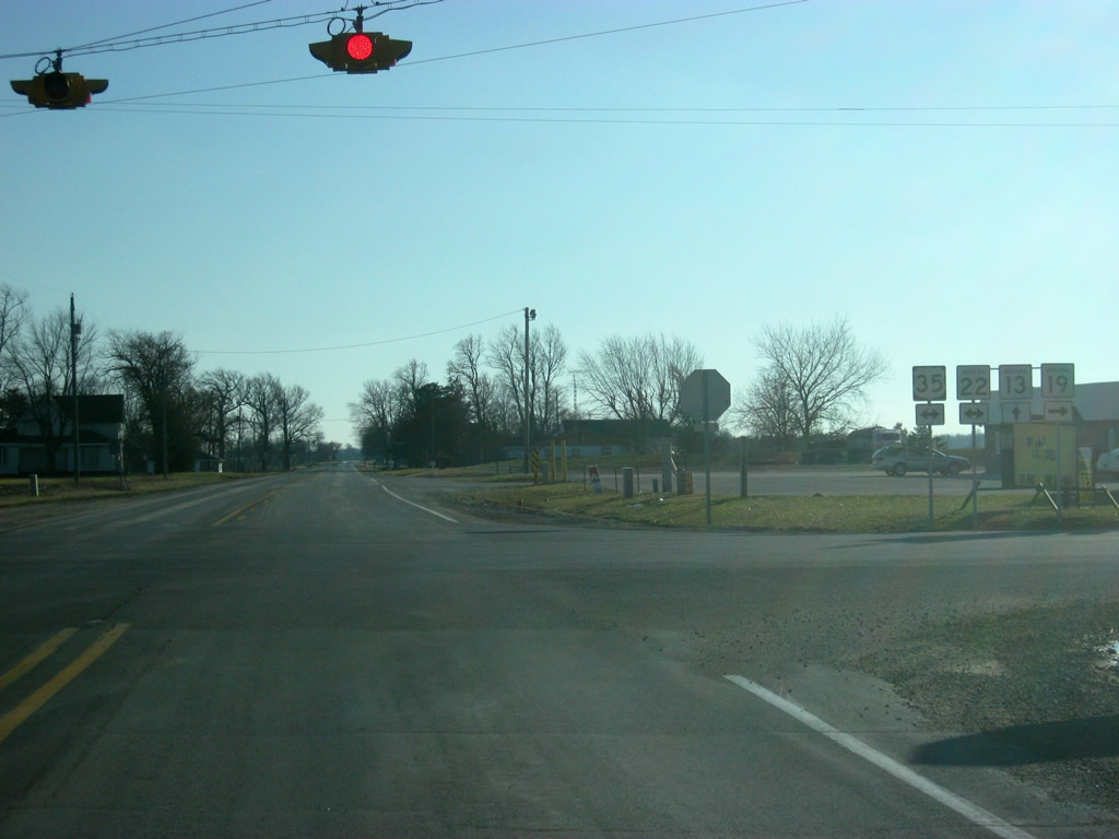
Now at the four-way stop with U.S. 35/SR 22. SR 19 will follow the multiplex to the west before it continues southward from the highway in Howard County.
01/16/11
South of the junction with U.S. 35/SR 22/SR 19 south, SR 13 goes through the small town of Normal.
01/16/11
Continuing south of the settlment of Normal, SR 13 spans Grassy Fork of Wildcat Creek ahead of County Road 800 South.
01/16/11
SR 26 crosses paths with SR 26 at Point Isabel. SR 26 goes for 150 miles from Illinois state line, through Lafayette, Fairmount, Upland, Hartford City and Portland before crossing over into Ohio.
01/16/11
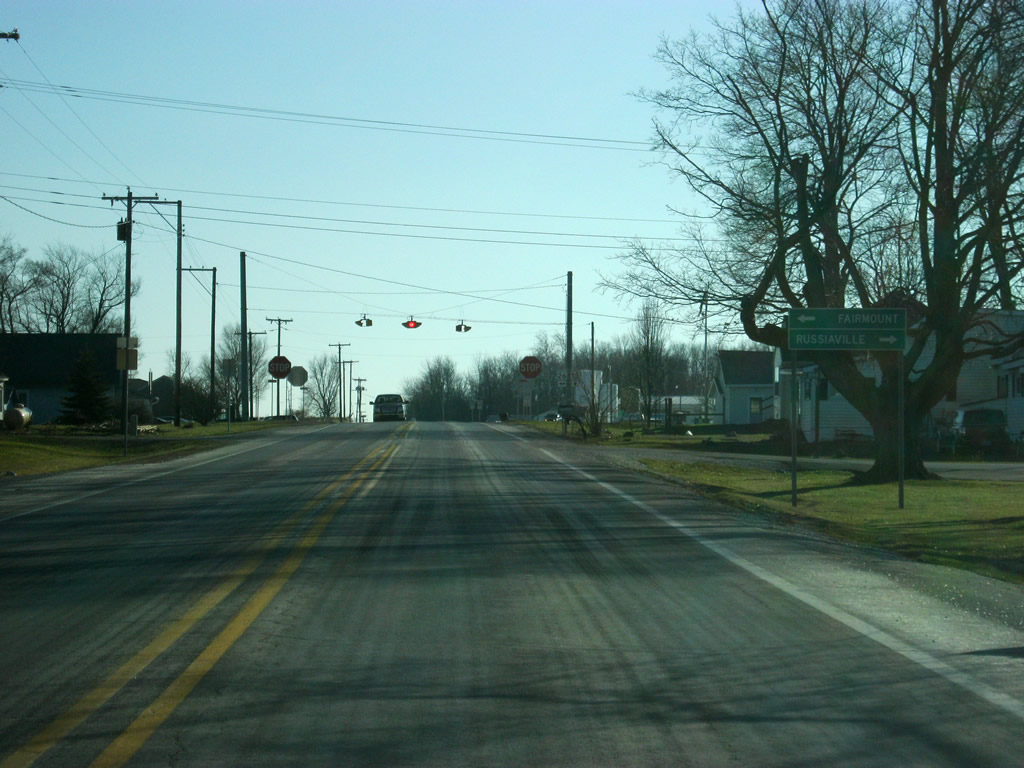
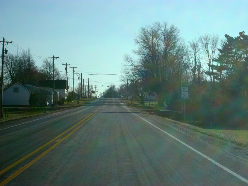
SR 13 approaches the intersection with SR 26, which leads to Fairmount to the east and Russiaville to the west.
01/16/11
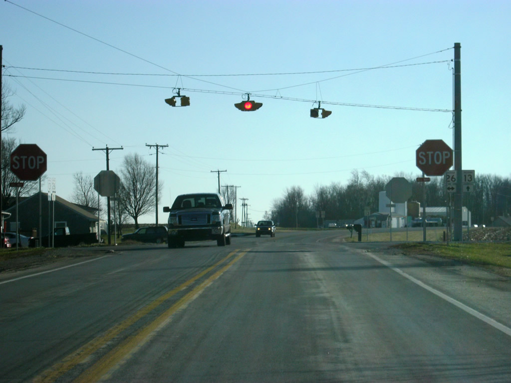
Now at the four-way intersection with SR 13 with SR 26.
01/16/11
South of the SR 26 intersection, SR 13 crosses over into Madison County (population 131,636).
01/16/11
SR 13 enters the settlement of Leisure at the cross roads with County Road 1800 North.
01/16/11
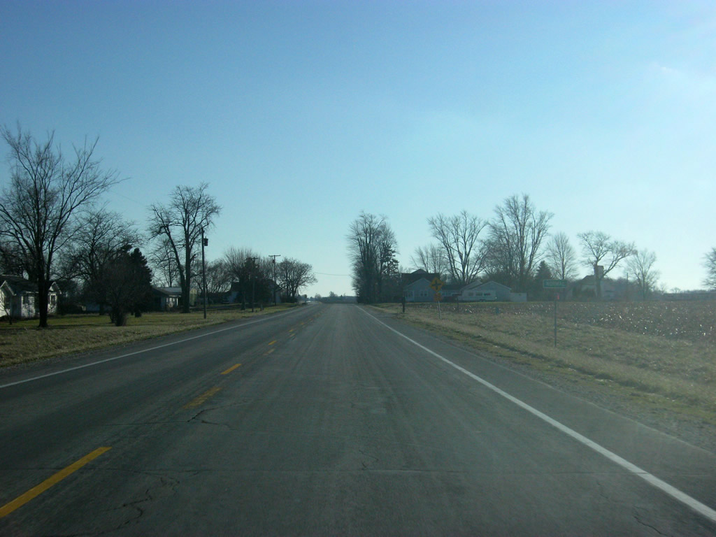
Views of SR 13 heading south toward the city of Elwood in far northwestern Madison County.
01/16/11
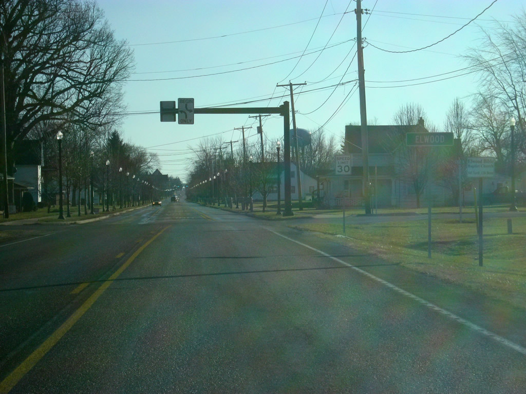
SR 13 transitions from a rural state highway to an urban arterial as it enters the city of Elwood (population 8,614). Elwood is the main business and service center for northwestern Madison County. In town, SR 13 is known as Anderson Street.
01/16/11
SR 13 (Anderson Street) was rebuilt across Elwood with new sidewalks and streetlamps along the road.
01/16/11
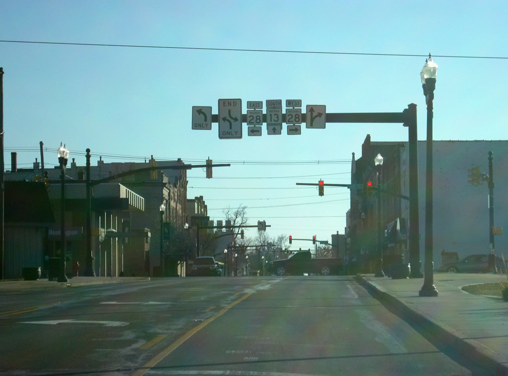
Now in Downtown Elwood, SR 13 (Anderson Street) approaches the intersection with SR 28 (Main Street). SR 28 goes for 153 miles from the Illinois state line through Attica, Frankfort, Tipton, Elwood, Alexandria and Albany before exiting into Ohio.
01/16/11
A view of SR 13 (Anderson Street) through Downtown Elwood, beyond SR 28 (Main Street).
01/16/11
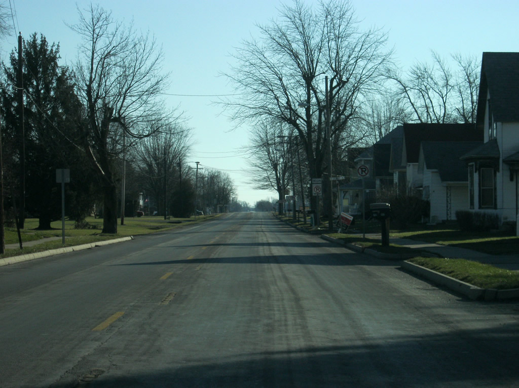
SR 13 (Anderson Street) heads to the south from Downtown Elwood through the southern part of the city.
01/16/11
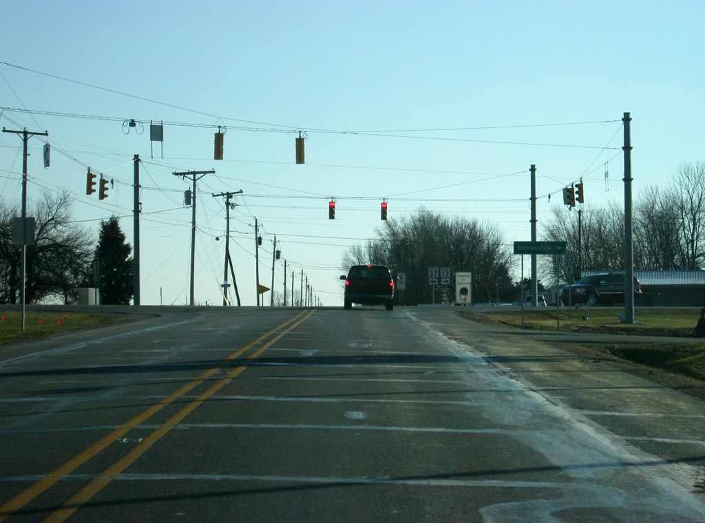
Now on the south side of Elwood, SR 13 approaches its intersection with SR 37. SR 37 goes for 235 miles in two separate segments. The northern segment exists only to the northeast of Fort Wayne to the Ohio border. The longer southern segment goes from Marion south past Elwood, Noblesville, Indianapolis, Martinsville, Bloomington, Bedford and Paoli before ending in Tell City.
01/16/11
SR 13 overlaps with SR 37 for six miles to the south before breaking off toward Lapel and Fortville. County Road 900 West continues Anderson Street south toward the White River near Perkinsville.
01/16/11
Photo Credits:
- Thomas Decker: 12/27/10, 01/16/11
Connect with:
Page Updated Saturday March 03, 2012.