
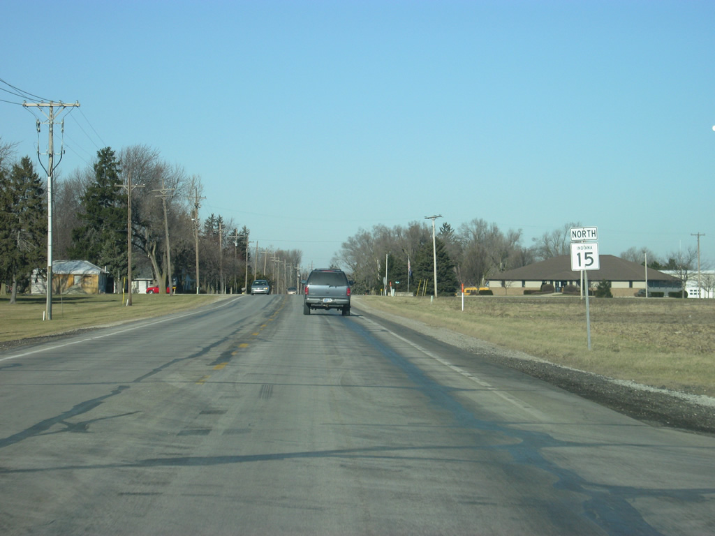
State Road 15 North - Wabash to Warsaw

Now going west along Market Street along the two block jaunt to Cass Street, which will carry SR 15 north through the north side of Wabash. Cass Street south doubles as SR 15 south one block to Canal Street east.
08/16/09
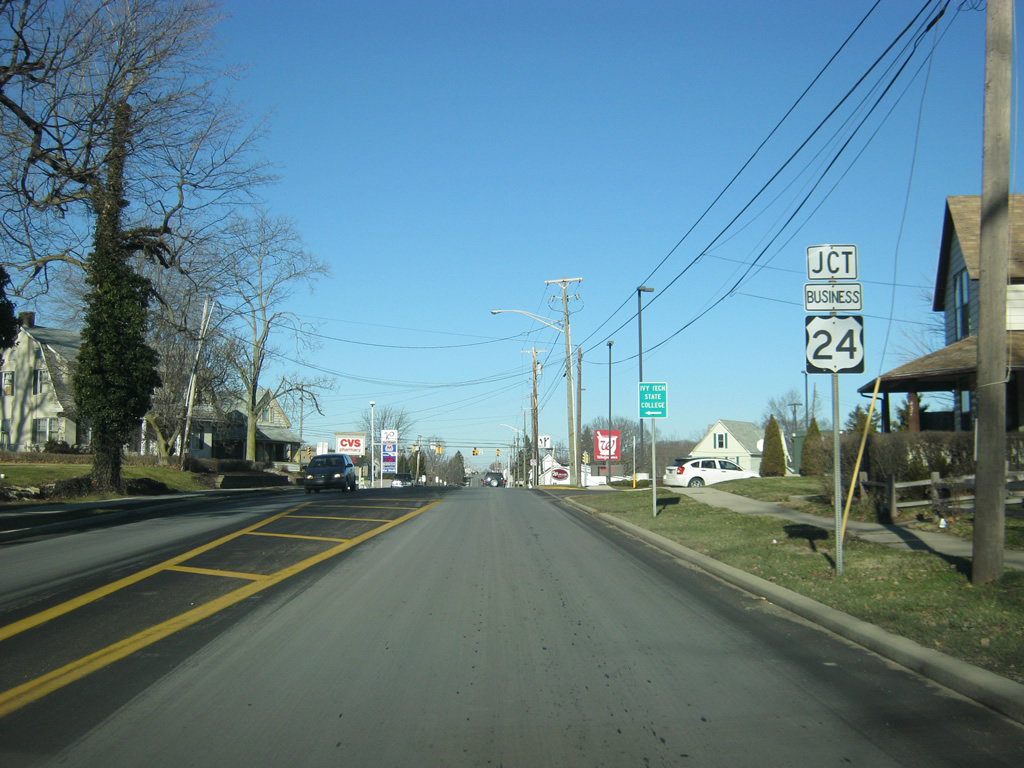
North of Downtown, SR 15 approaches the junction with Business U.S. 24 (Stitt Street). Until the 1990s, U.S. 24 was routed through Wabash, but it has since been routed to the north of town as part of the larger Hoosier Heartland Highway. As with any business route in Indiana, Business U.S. 24 is merely a local designation.
03/05/11
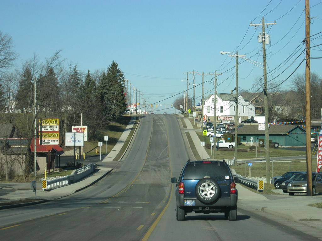
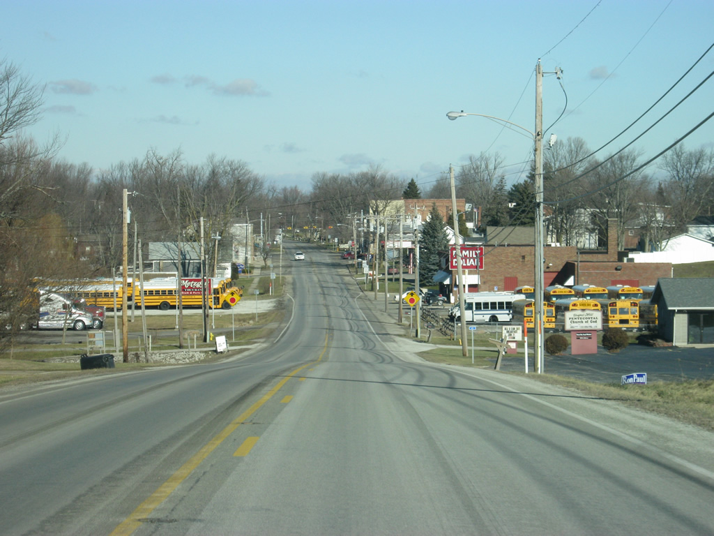
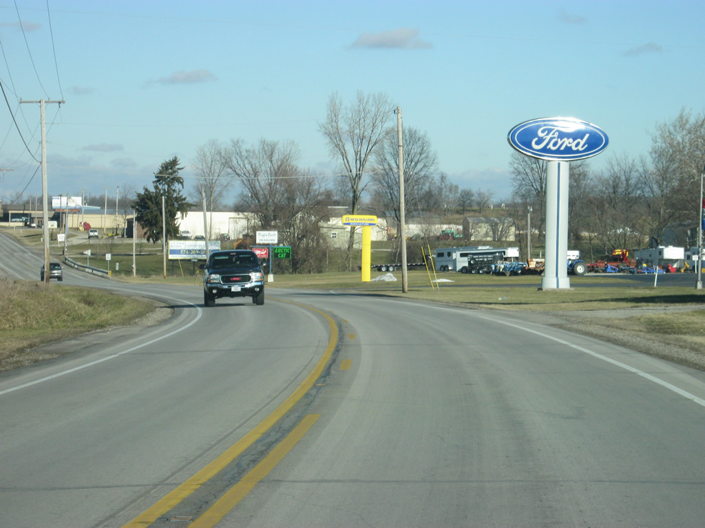
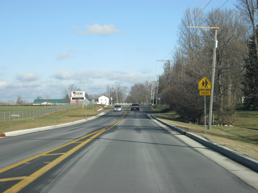
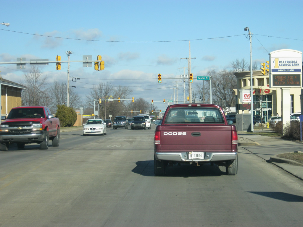
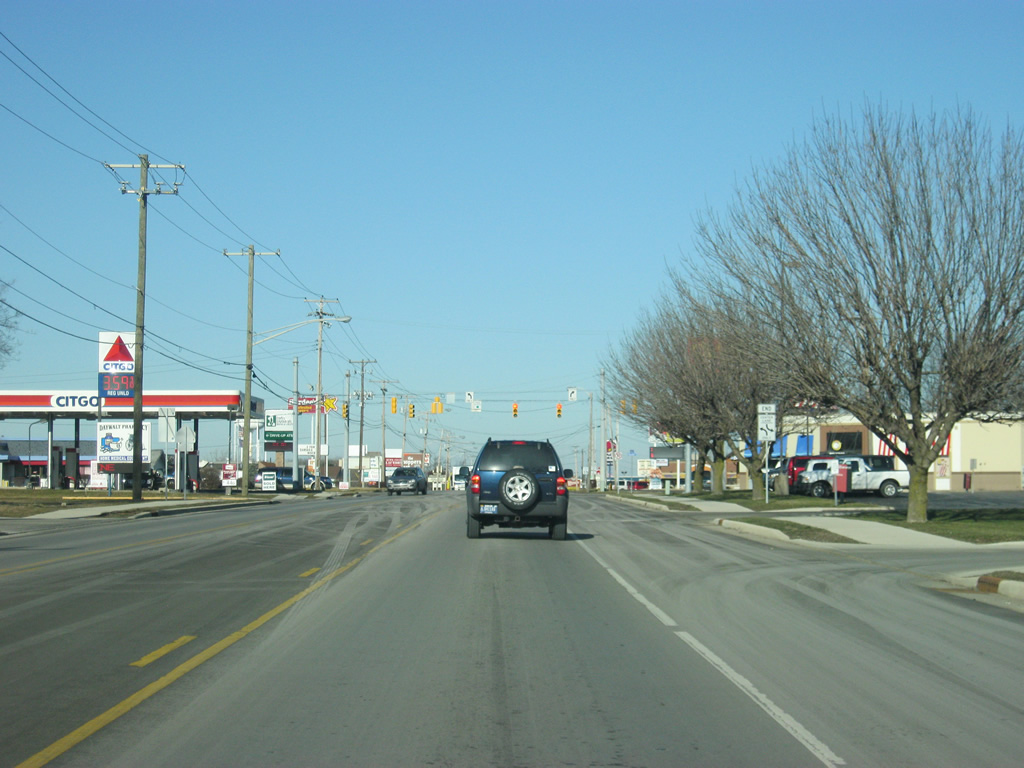
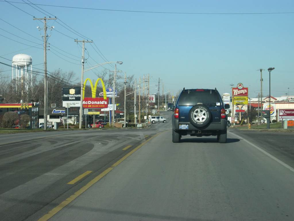
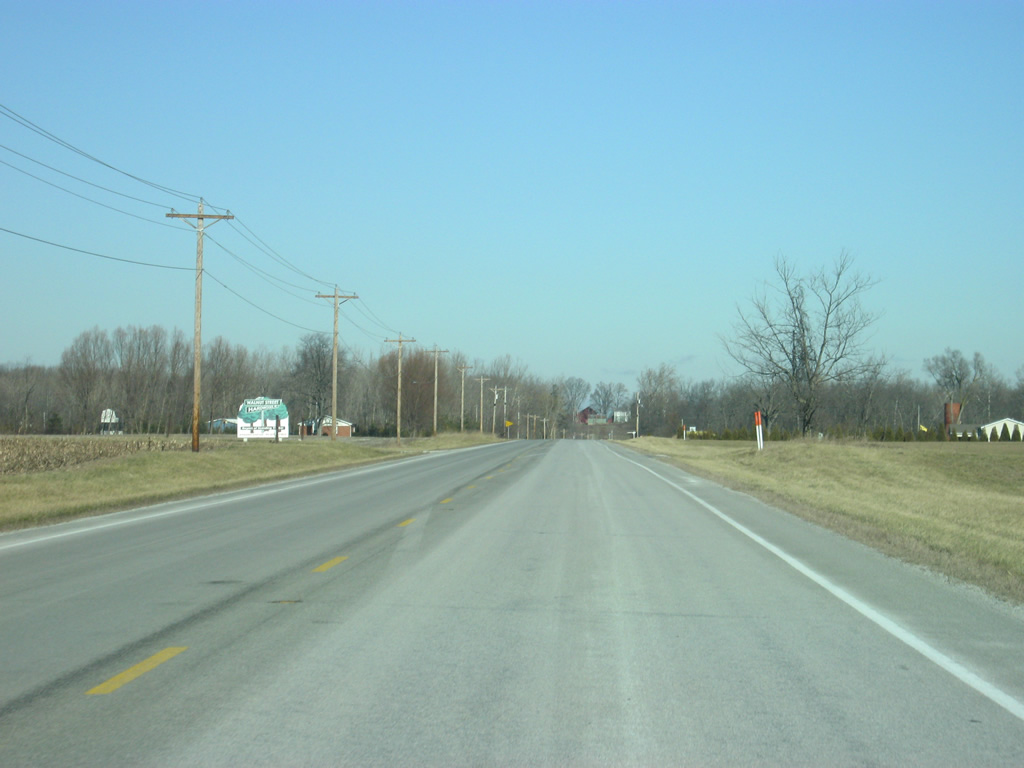
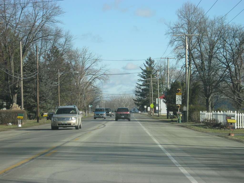
North of Business U.S. 24, SR 15 (Cass Street) forms the main commercial strip for Wabash.
03/05/11
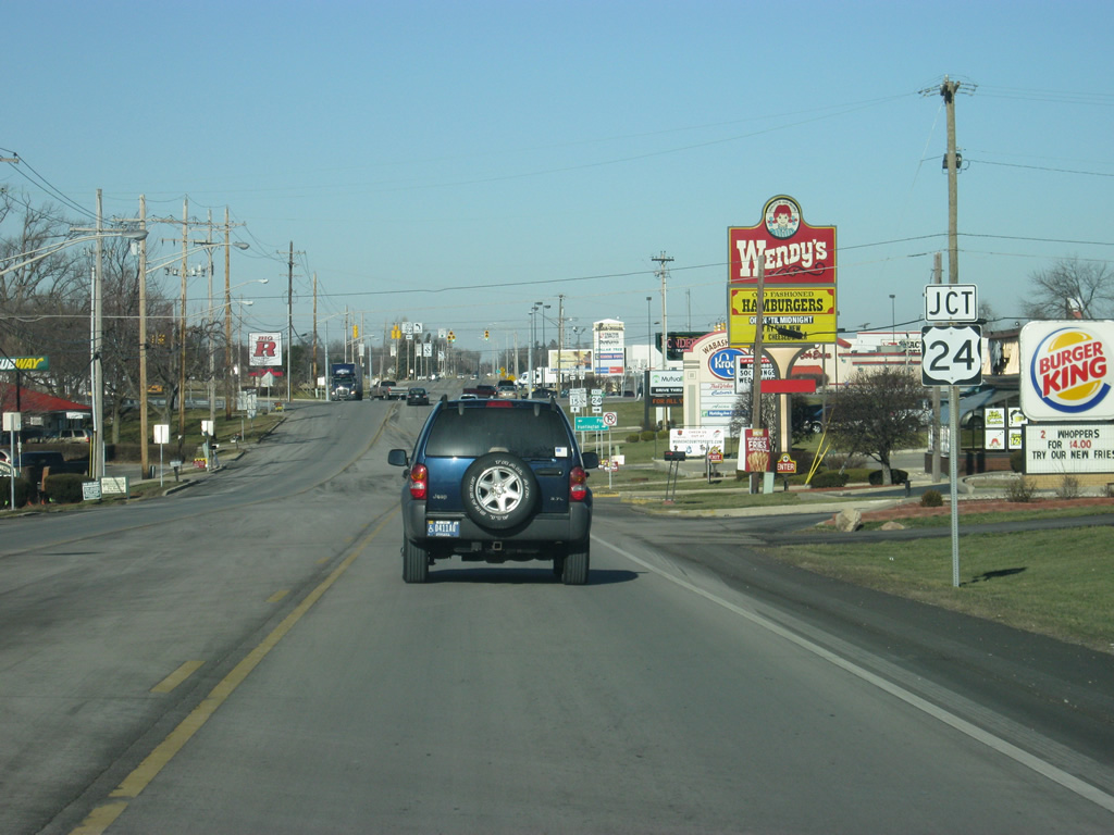
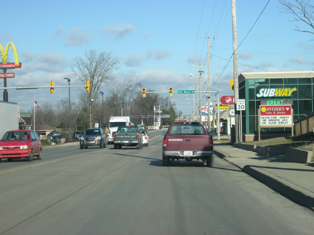
Nearing the intersection of SR 15 (Cass Street) with U.S. 24. U.S. 24 goes for 164 miles across the state road from west of Kentland through Monticello, Logansport, Peru, Wabash, Huntington, and Fort Wayne. The stretch from Logansport to Fort Wayne is a four lane expressway and the segment from Fort Wayne northeast toward Ohio is being upgraded to a freeway. Altogether, and along with the new four lane segment of SR 25 from Logansport to Lafayette, it is known as the Hoosier Heartland Highway.
03/05/11
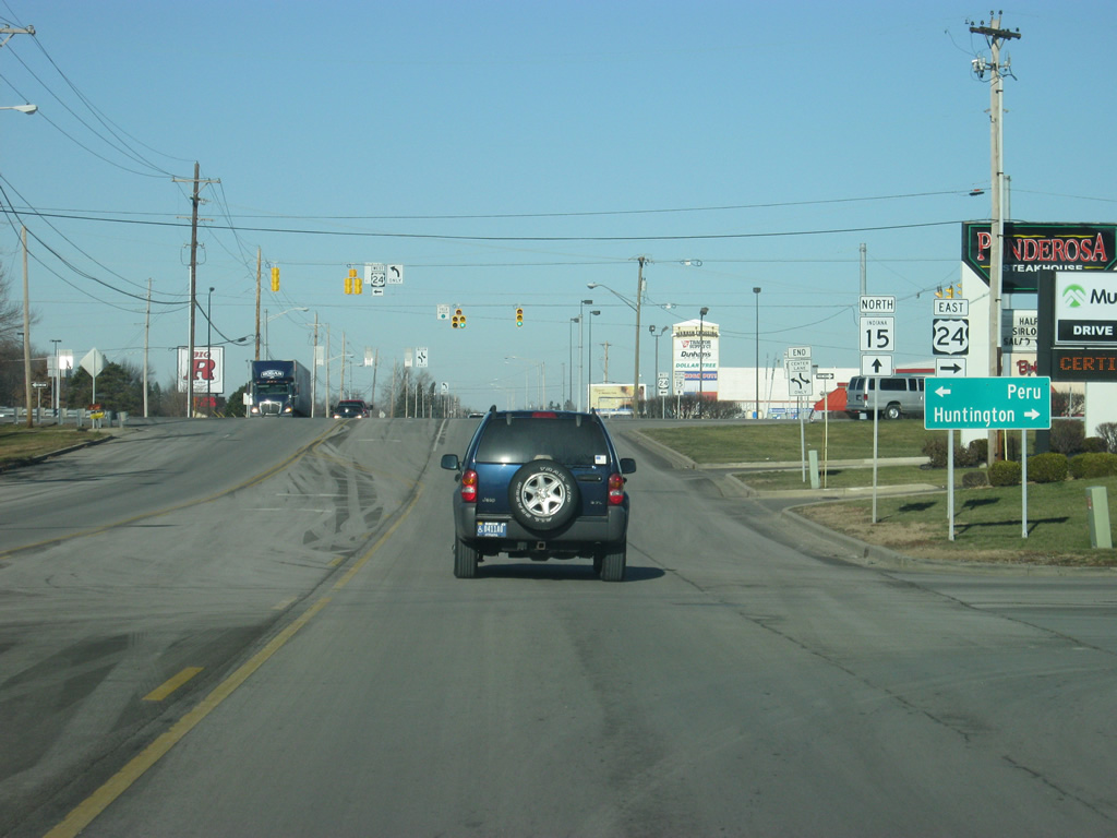
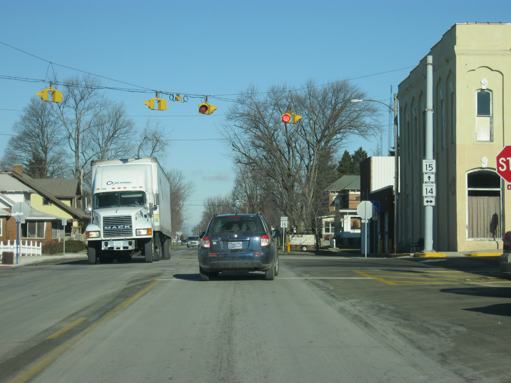
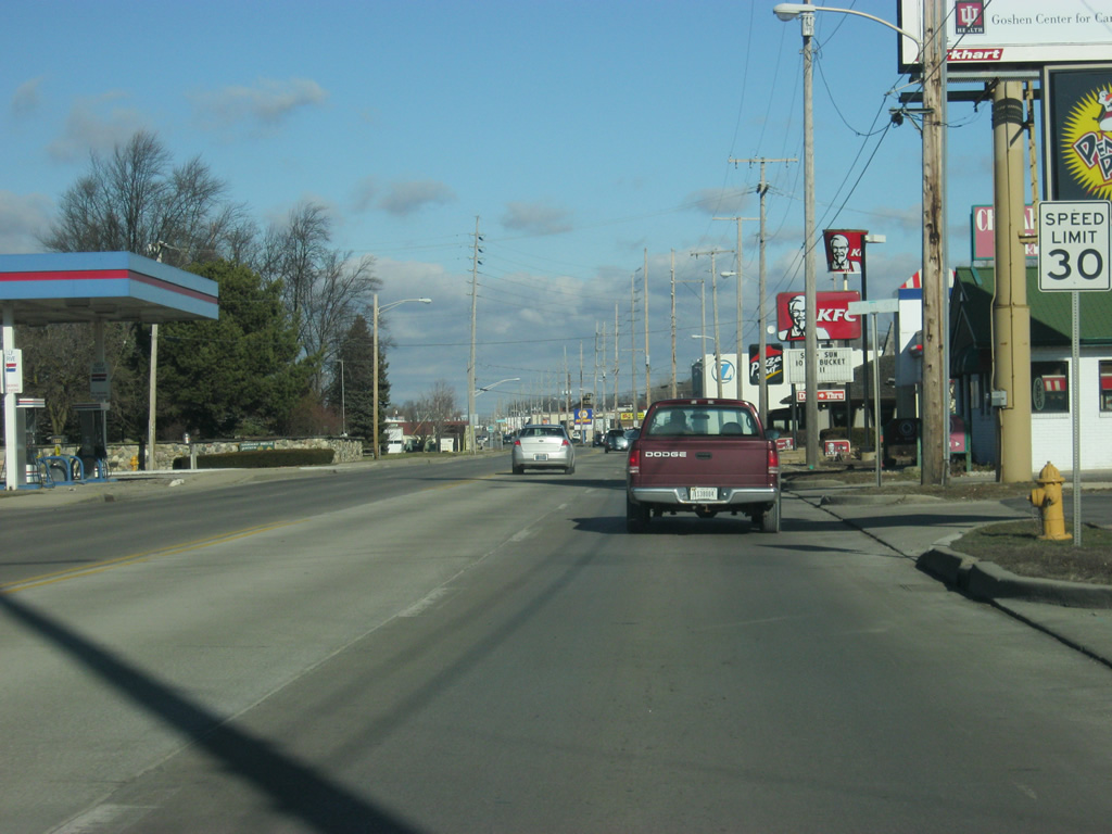
Now at the junction with U.S. 24. Nationally, U.S. 24 goes for 1,540 miles from Interstate 70 in central Colorado to Pontiac, Michigan.
03/05/11
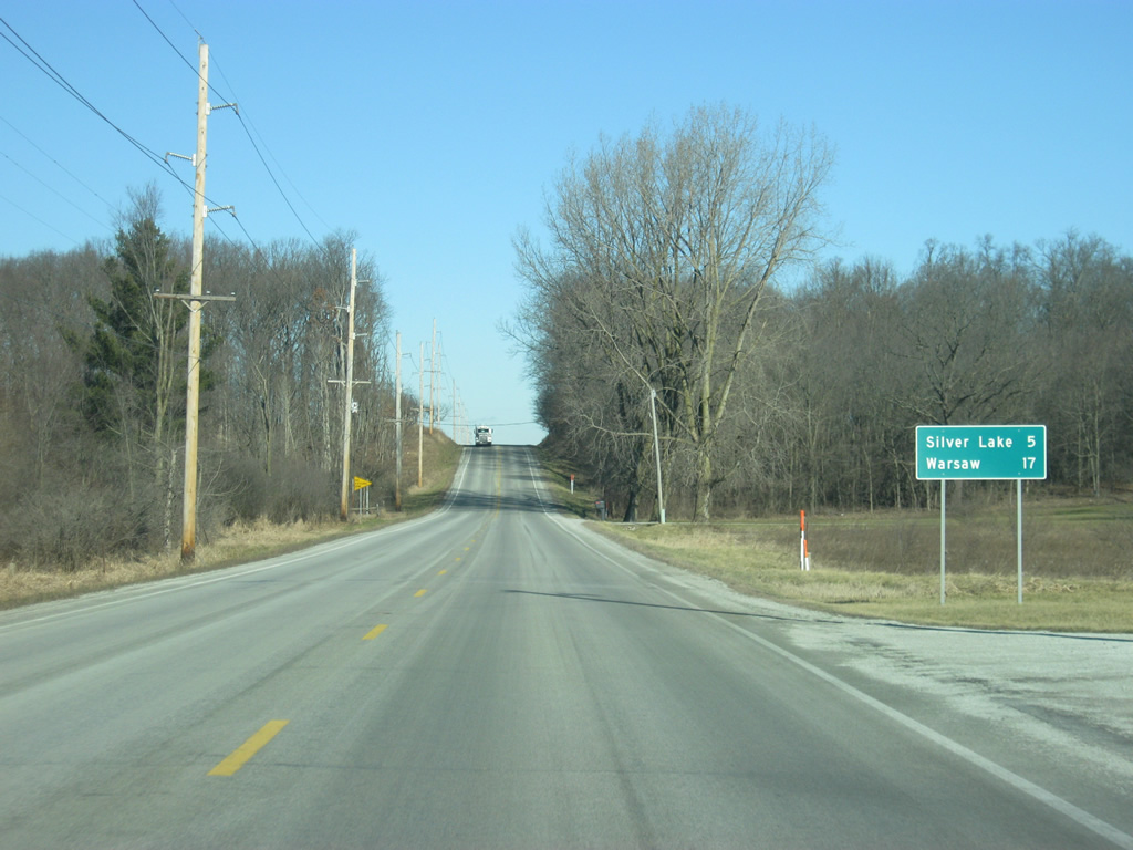
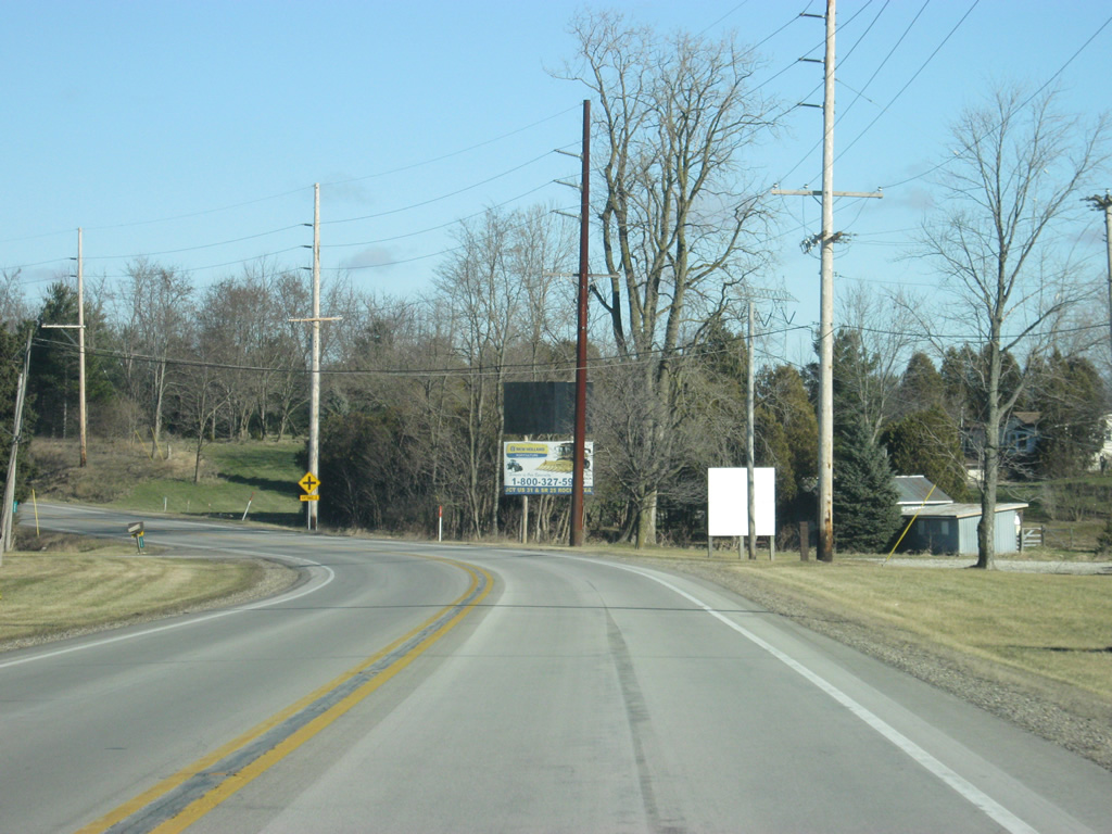
North of the U.S. 24 intersection, SR 15 is 19 miles from the next town of Silver Lake and 31 miles from the Kosciusko County seat of Warsaw.
03/05/11
An SR 15 reassurance shield north of U.S. 24 and Division Road.
03/05/11

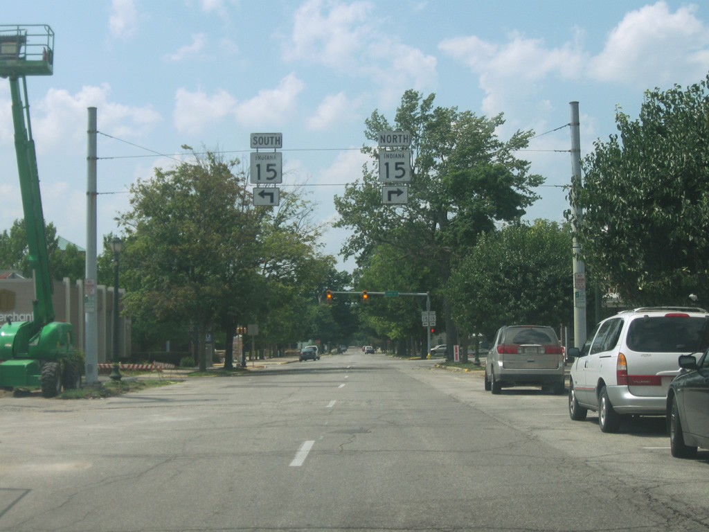
Ahead is the junction with SR 115 south.
03/05/11
SR 115 is a short 3.3 mile highway that connects SR 15 to the north with U.S. 24 to the west, providing a straight north-south connector as SR 15 angles toward the southeast.
03/05/11
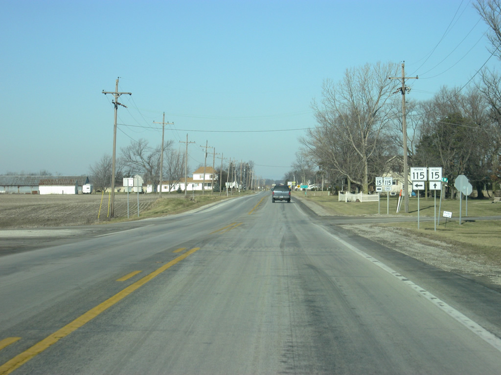
SR 115 heads off toward the south from SR 15. Most movements at this intersection are from northbound SR 115 to northbound SR 15 or southbound SR 15 to southbound SR 115.
03/05/11
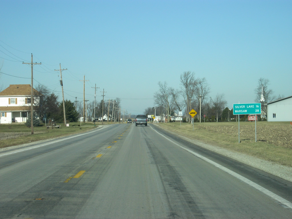
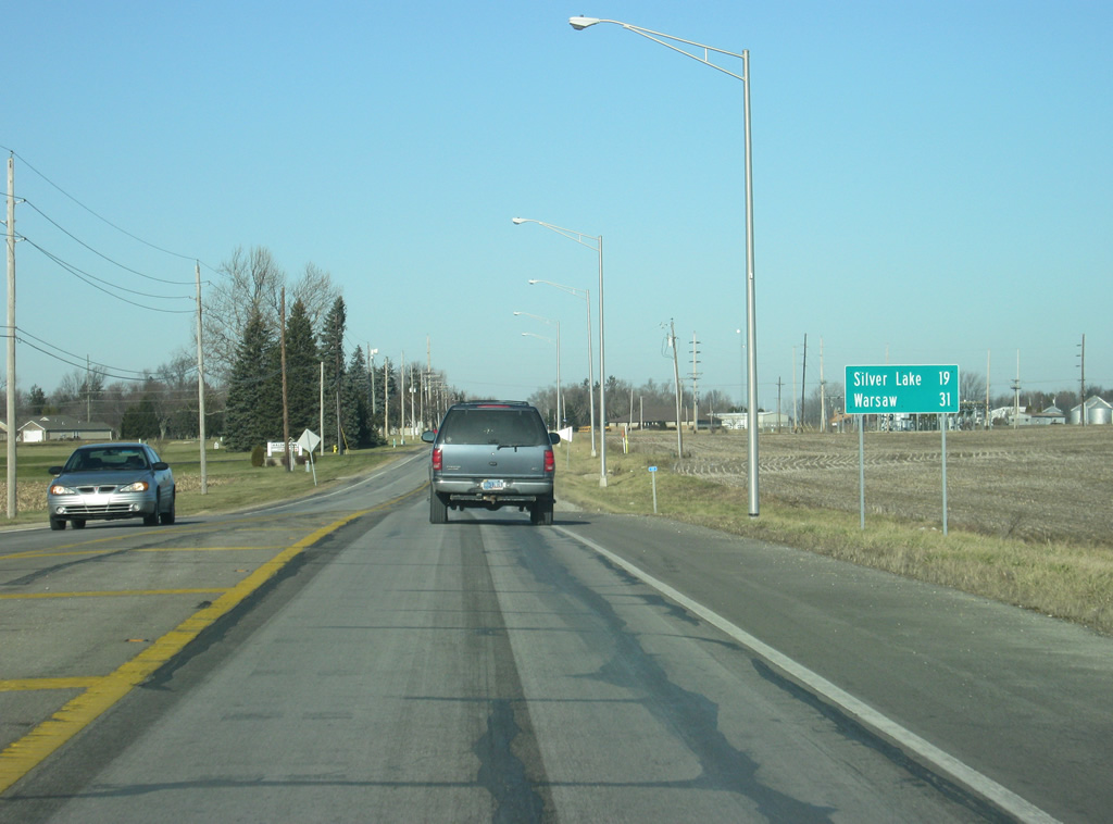
North of the SR 115 intersection, Silver Lake is 15 miles away and Warsaw is 28 miles away.
03/05/11
Crossing Bachelor Creek along SR 15 northbound. A short stretch of Old State Road 15 loops east from this crossing.
03/05/11
SR 15 angles off toward the north as it passes in between SR 115 and SR 16 in rural Wabash County.
03/05/11
SR 15 comes up to the intersection with SR 16.
03/05/11
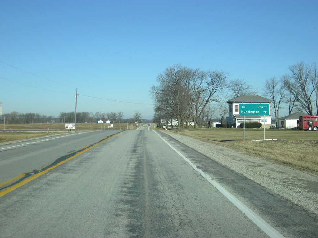
SR 16 goes for 105 miles from U.S. 41 in Newton County, eastward through Brook, Monon, Royal Center, Roann, and Huntington, where it ends at SR 5 to the north of town. It doesn't go through any big communities other than Huntington.
03/05/11
Now at the intersection with SR 16, Roann is two miles to the west and Huntington is about 20 miles to the east.
03/05/11
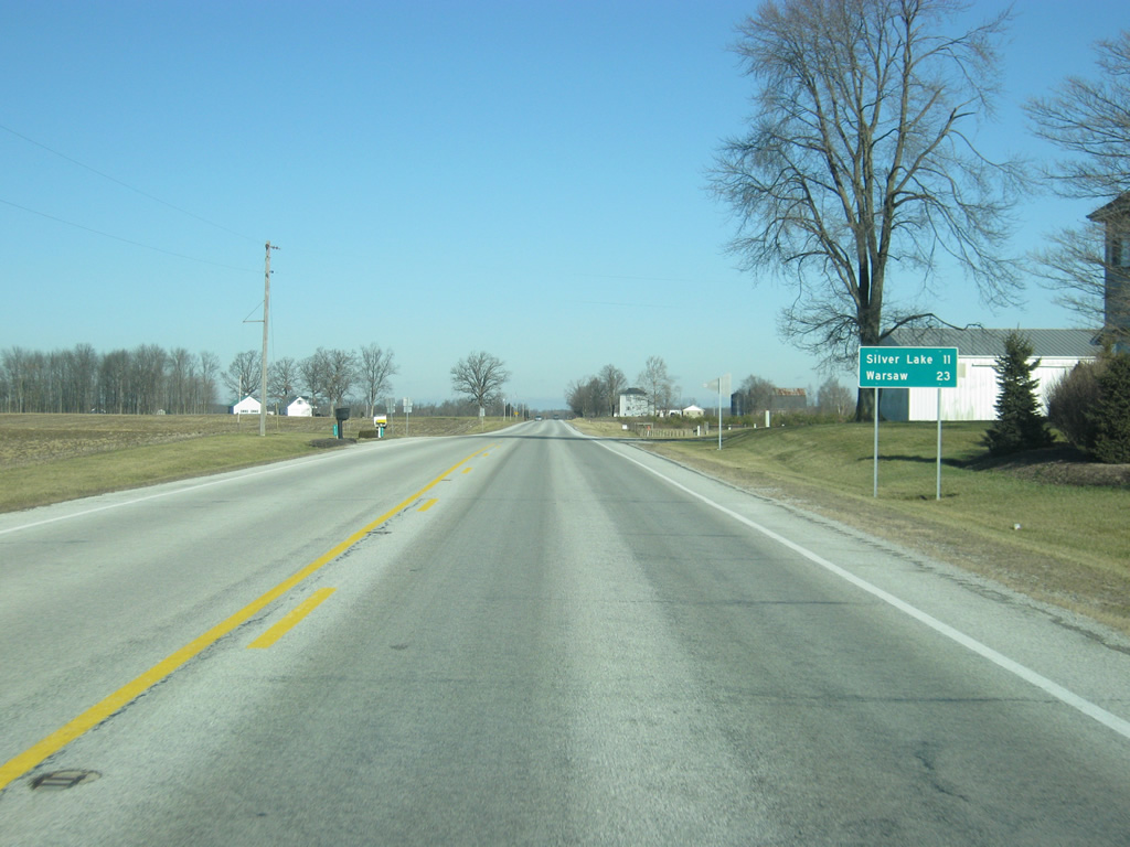
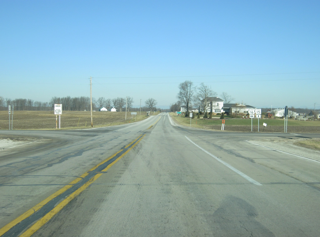
North of SR 16, Silver Lake is 11 miles away and Warsaw is 23 miles down the road.
03/05/11
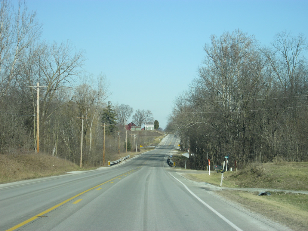
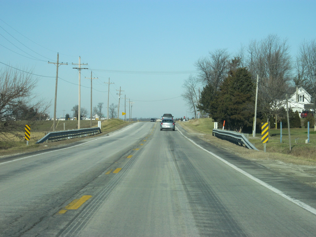
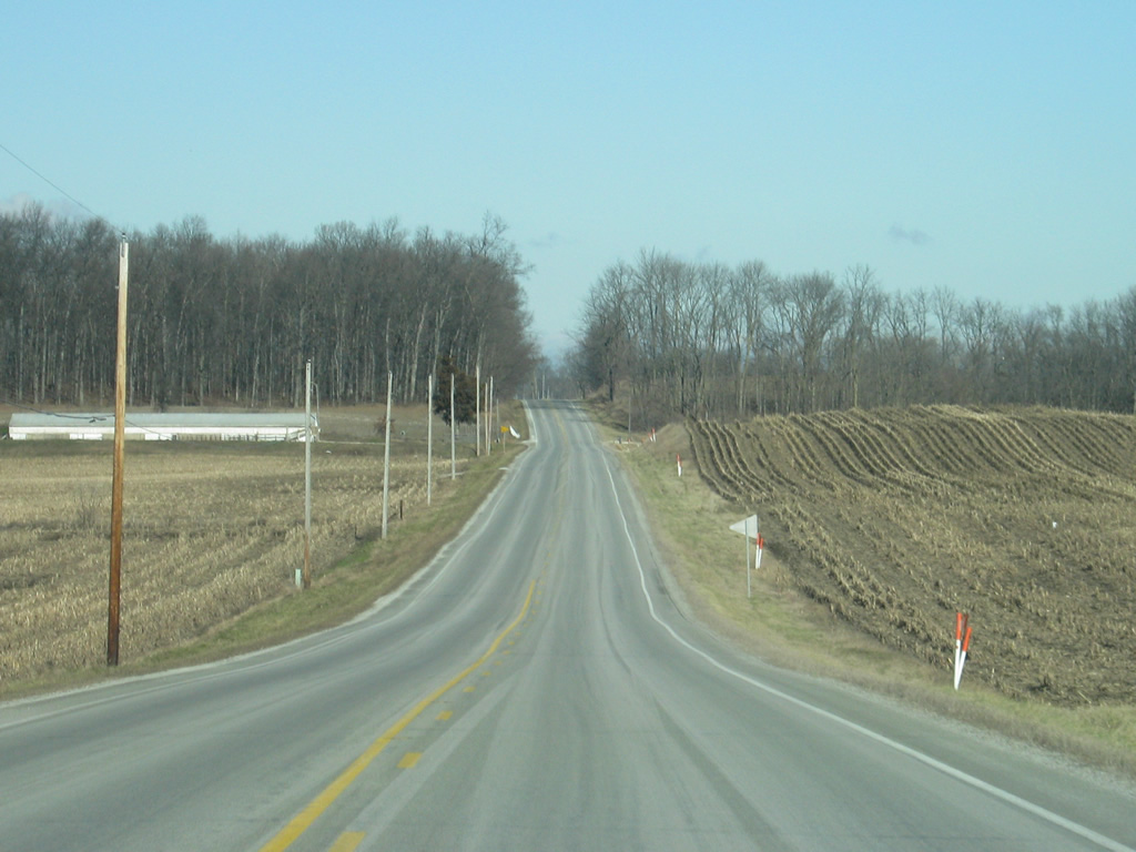
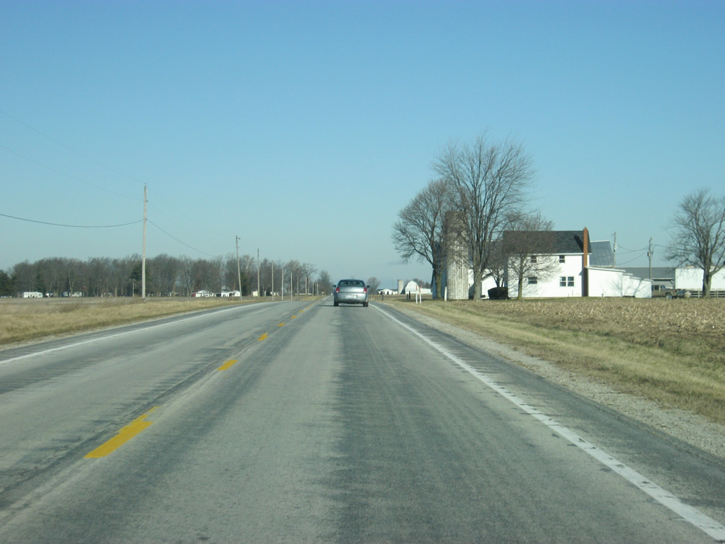
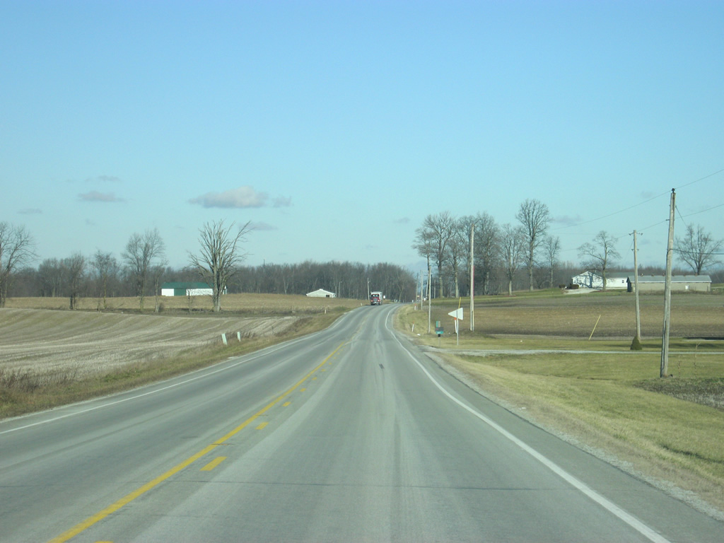
Views of SR 15 from between SR 16 and Lukens Lake Road. The state highway will start going up and down some moraine hills as it moves further north from Wabash. This is the transitional zone into the moraine and lake region of Northern Indiana.
03/05/11
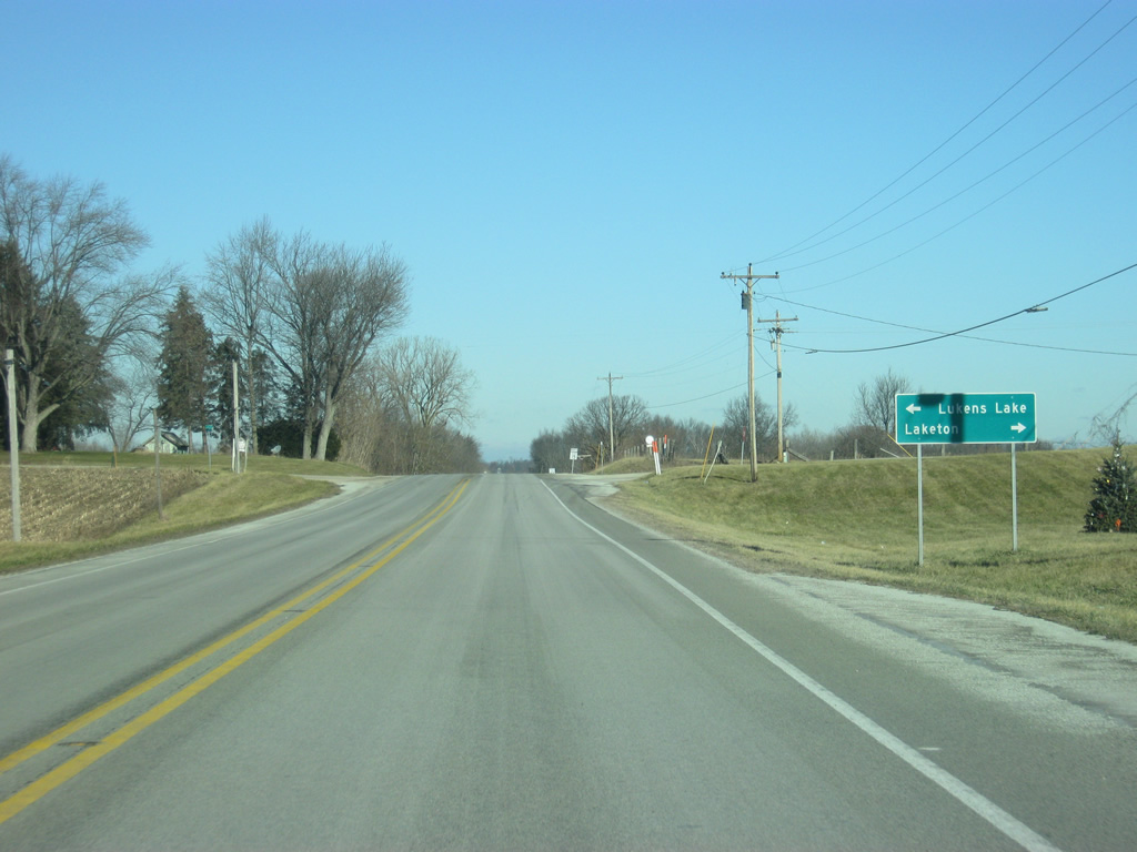
SR 15 at the intersection with Lukens Lake Road, leading westward to Lukens Lake and the town of Laketon to the east.
03/05/11
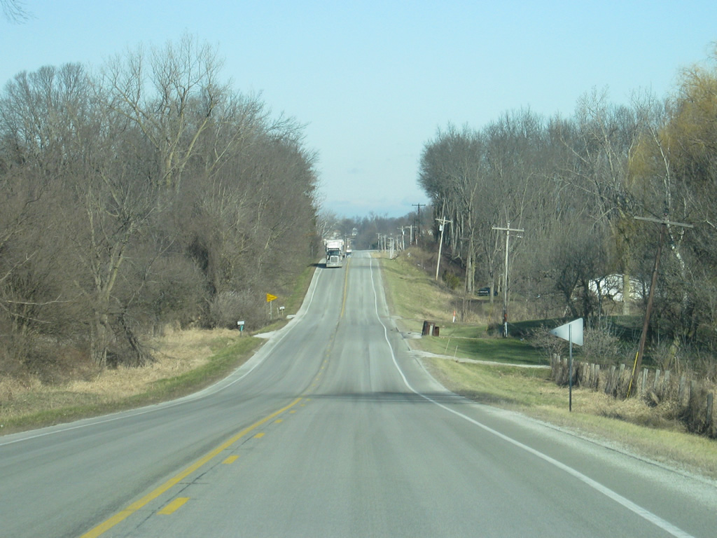
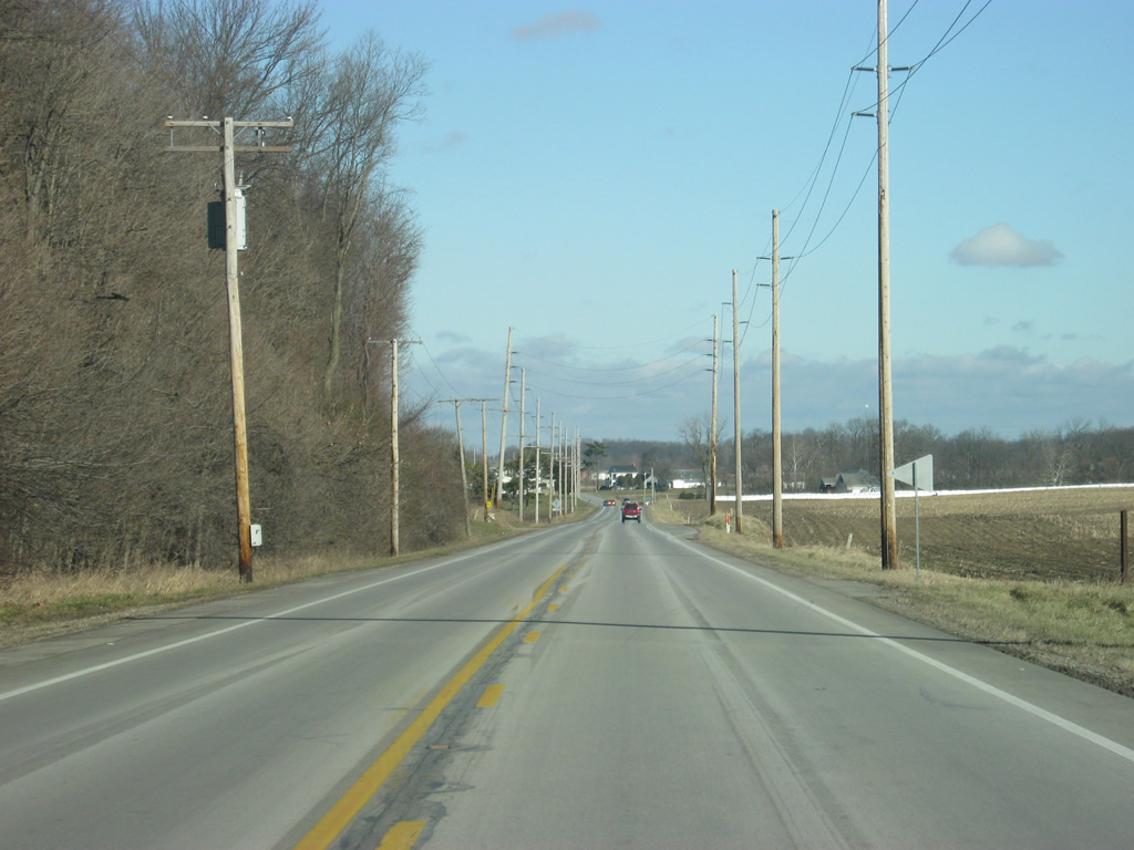
A view of SR 15 from between Lukens Lake Road and SR 114.
03/05/11
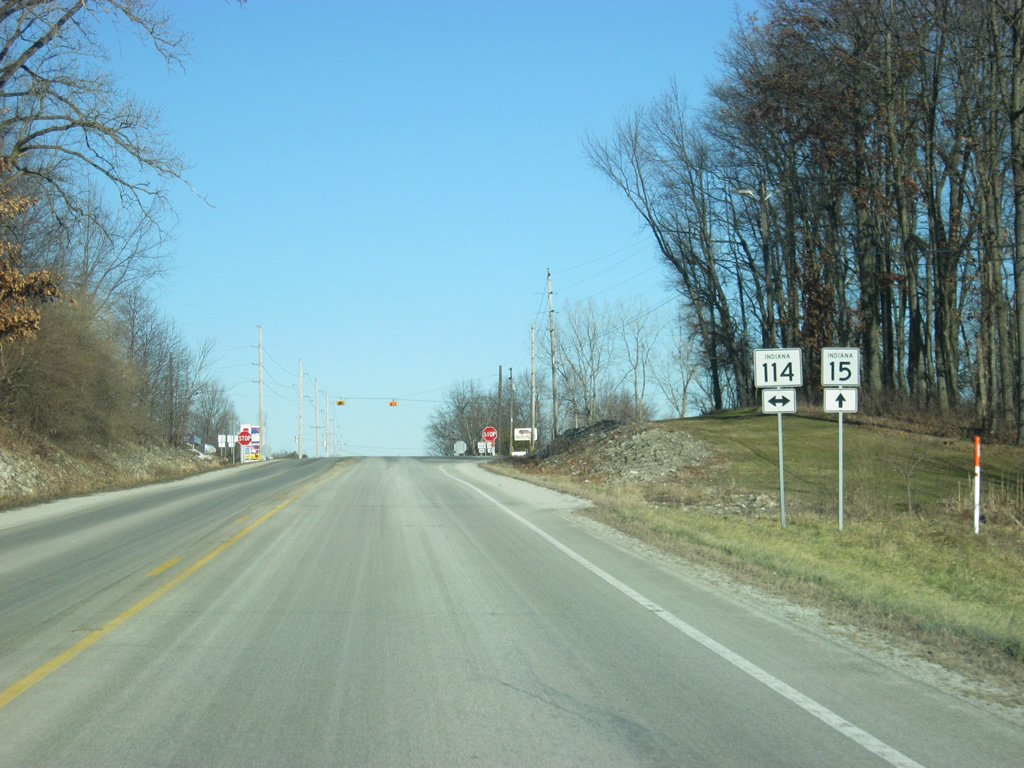
SR 15 north reaches the intersection with SR 114. SR 114 exists in three segments across Northern Indiana. Ahead is the eastern segment of SR 114.
03/05/11
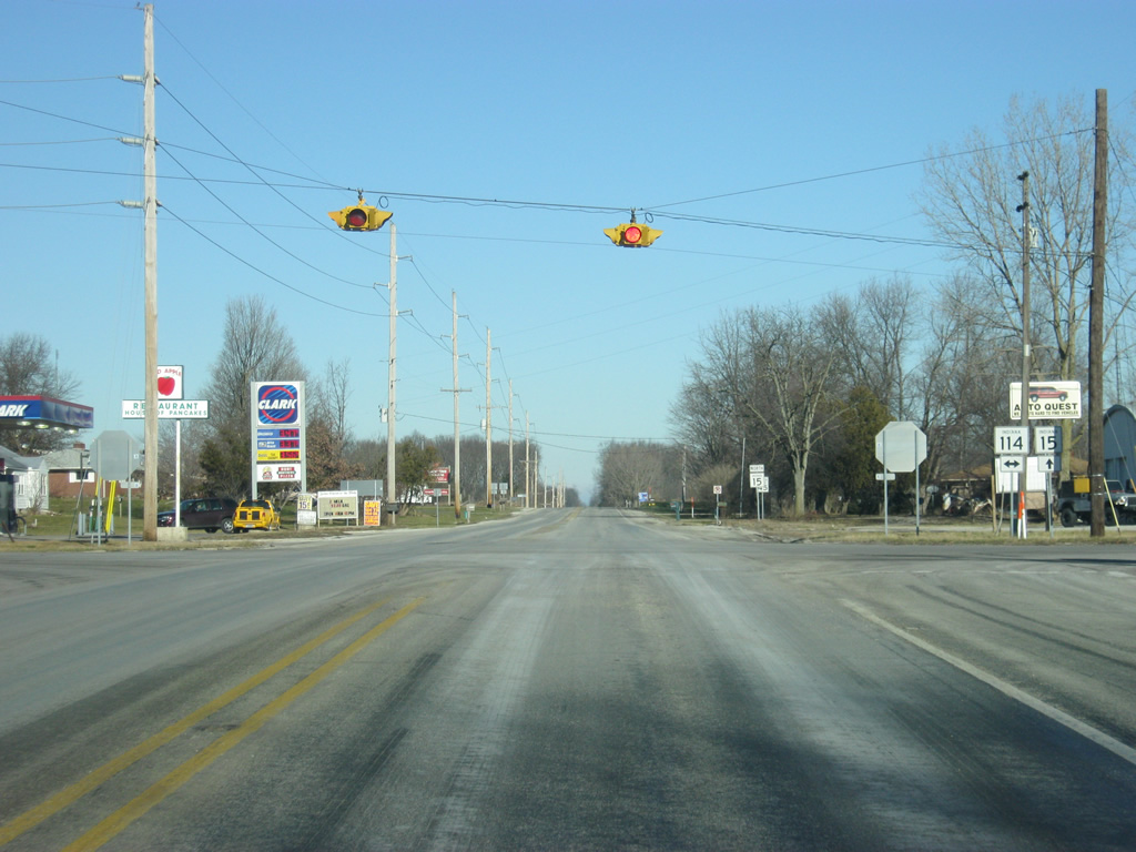
A four-way stop marks the intersection between SR 15 and SR 114. SR 114's eastern segment goes for 31.5 miles from Akron at SR 14 to U.S. 24 at the Allen-Whitney County line. The town of North Manchester, the second largest community in Wabash County and home of Manchester College, is five miles to the east.
03/05/11
Now five miles from the town of Silver Lake and 17 miles from the city of Warsaw.
03/05/11
A view of SR 15 in far northern Wabash County as it approaches the Kosciusko County line.
03/05/11
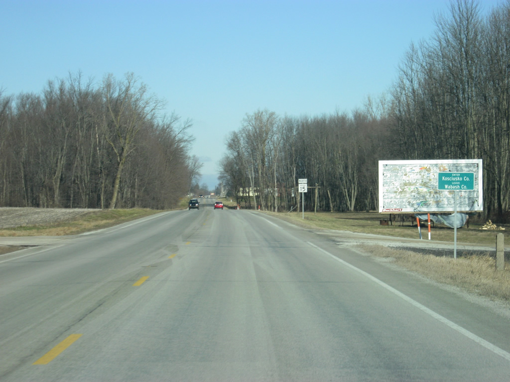
SR 15 enters Kosciusko County (population 77,385). The county was named for Tadeusz Kosciusko, a Polish general who served in the American Revolutionary War. Warsaw, the county seat, was thus named after the capital of Poland.
03/05/11
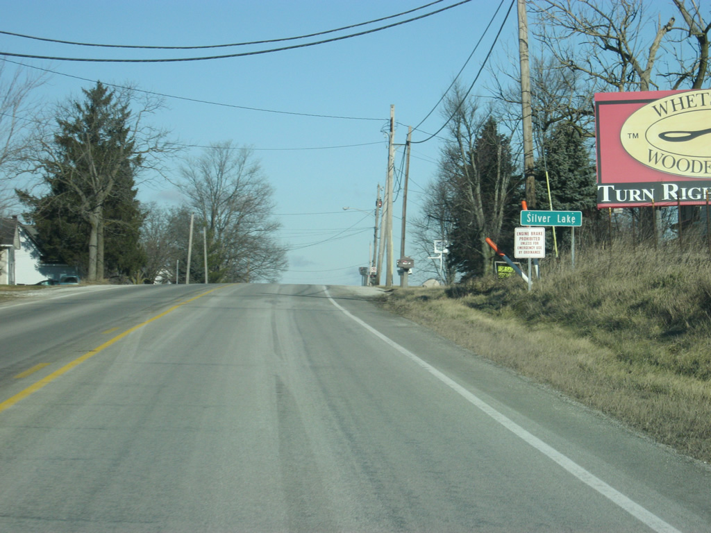
North of the county line, SR 15 enters the town of Silver Lake. As the name suggests, Silver Lake is located in the northwestern part of town.
03/05/11
Known in Silver Lake as Jefferson Street, SR 15 enters the south side of town and lowers toward the intersection with Sycamore Street in this scene.
03/05/11

Now in the heart of Silver Lake, SR 15 (Jefferson Street) approaches the intersection with SR 14 (Main Street). SR 14 goes for 123 miles from U.S. 41 in Newton County and then eastward to Winamac, Rochester and Akron before going through Silver Lake. East of there, it heads for South Whitley before ending at Interstate 69 in Fort Wayne.
03/05/11
SR 15 (Jefferson Street) at the intersection with SR 14 (Main Street) in Downtown Silver Lake.
03/05/11
SR 15 (Jefferson Street) continues through the north side of Silver Lake.
03/05/11
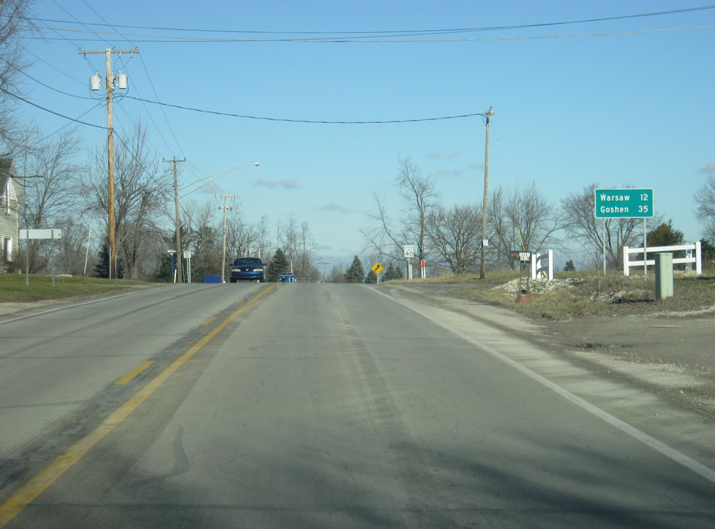
North of Silver Lake, Warsaw is now 12 miles away. Goshen, the county seat of Elkhart County is 35 miles away.
03/05/11
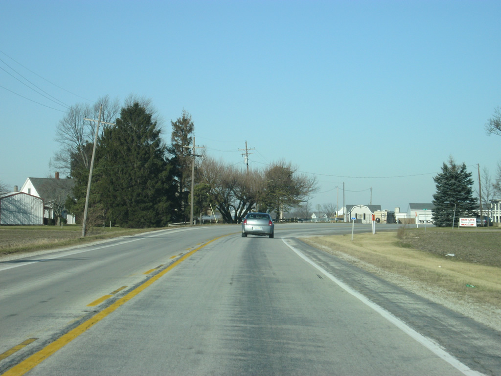
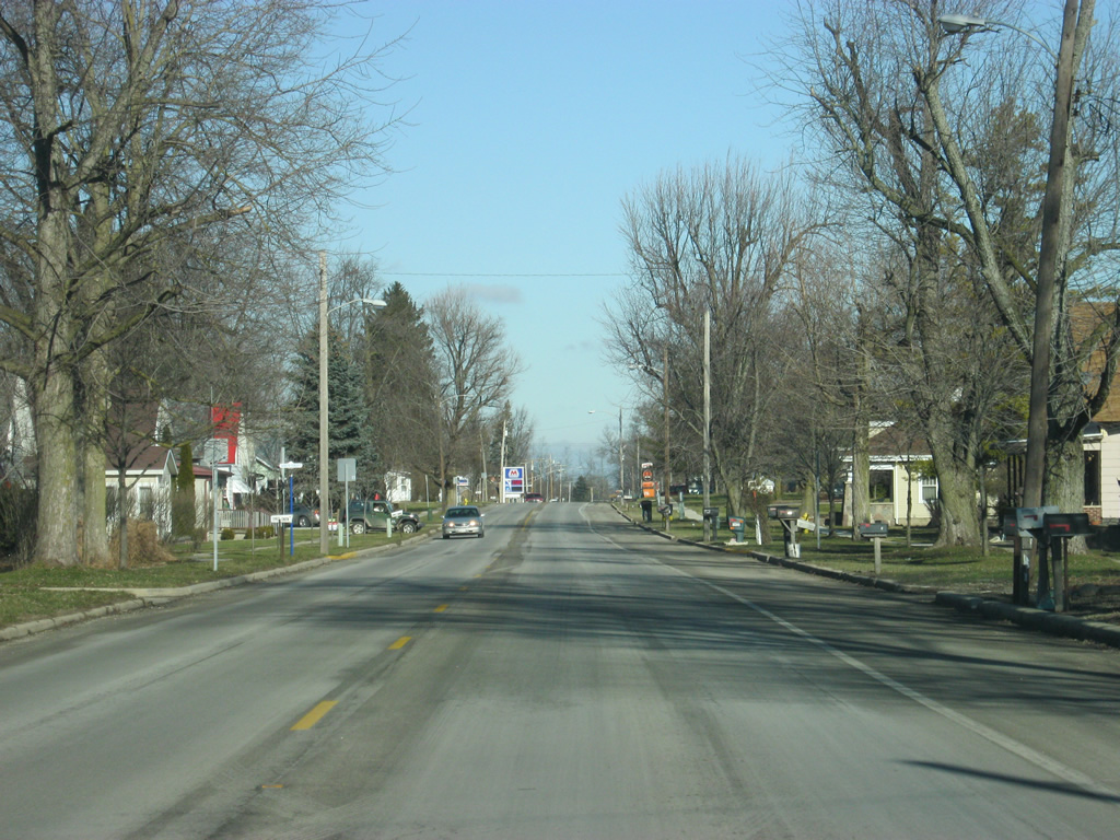
Views of SR 15 to the north of Silver Lake. North of town, the highway begins to wind a little as it passes by various small lakes. About 14,000 years ago, the melting of the Wisconsin glacier, the last to cover Northern Indiana, helped to create kettle hole lakes throughout Northern Indiana, including Kosciusko County. Both Indiana's deepest (Tippecanoe) and largest (Wawasee) natural lakes are located in the county.
03/05/11
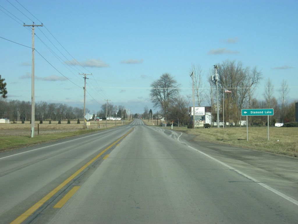
SR 15 at the intersection with County Road 900 South, which leads west to Diamond Lake.
03/05/11
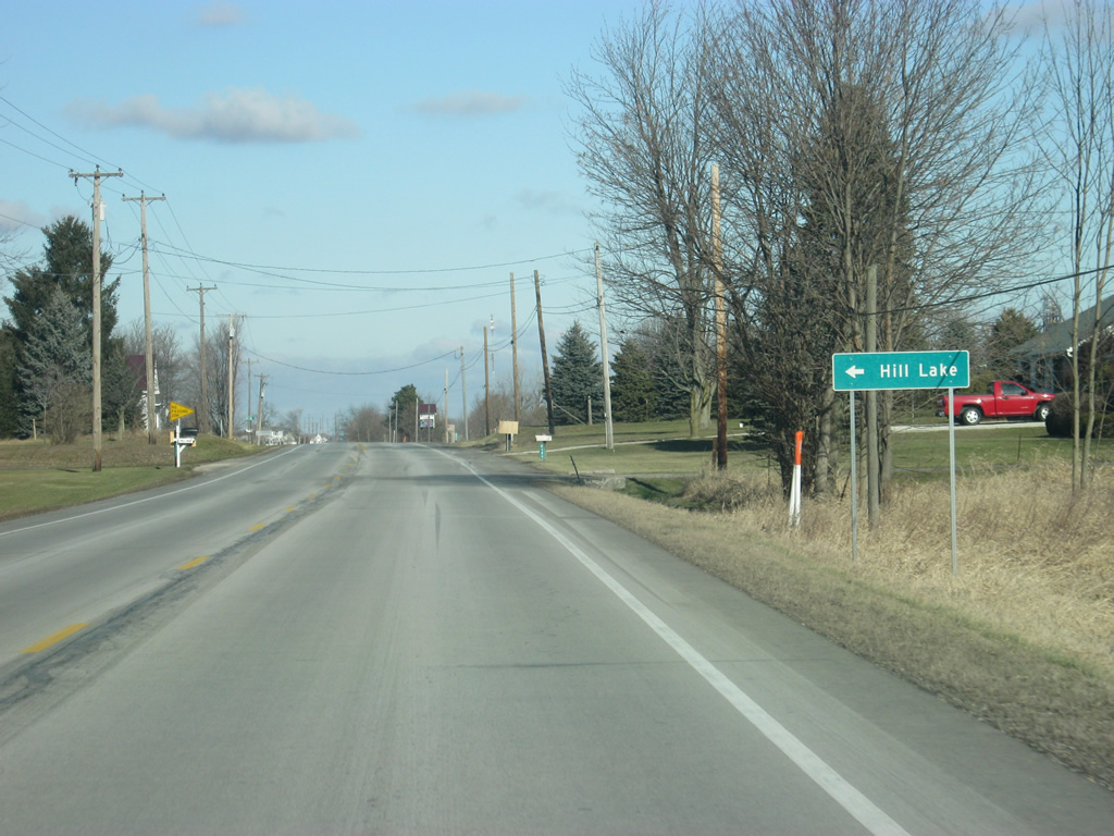
Further north, SR 15 approaches the intersection with Hill Lake Road, which leads to Hill Lake.
03/05/11
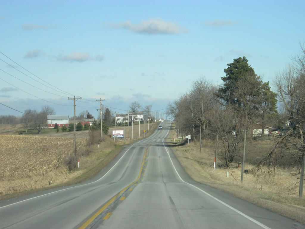
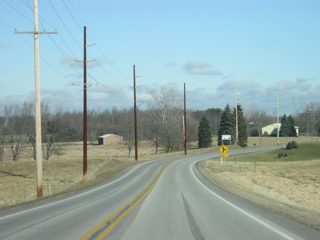
A view of SR 15 to the north of Hill Lake Road.
03/05/11
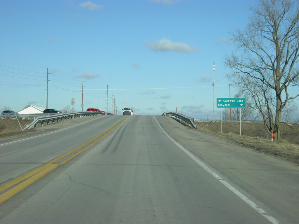
SR 15 arrives at the intersection with County Road 700 South. The county road briefly "multiplexes" with the highway as it crosses over the Norfolk Southern Railroad. County Road 700 South to the west ventures to Caldwell Lake and to the east, beyond the railroad, to Claypool.
03/05/11
SR 15 angles toward the northeast of the intersection with County Road 700 South.
03/05/11
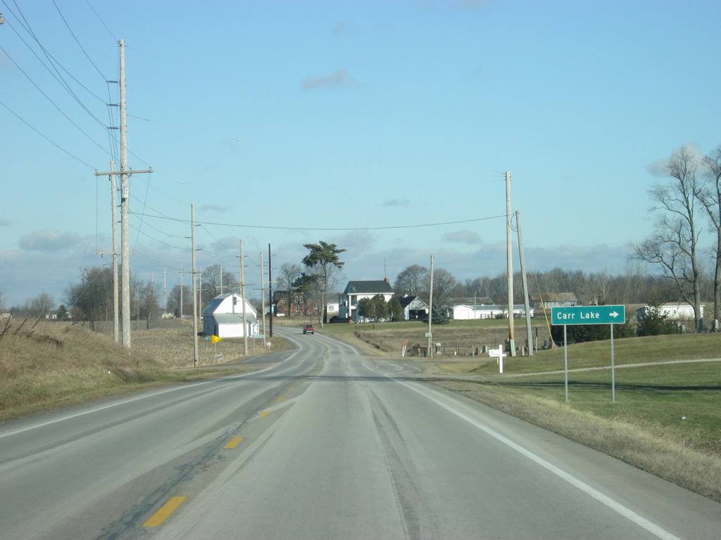
County Road 550 South leads east from SR 15 to Carr Lake.
03/05/11
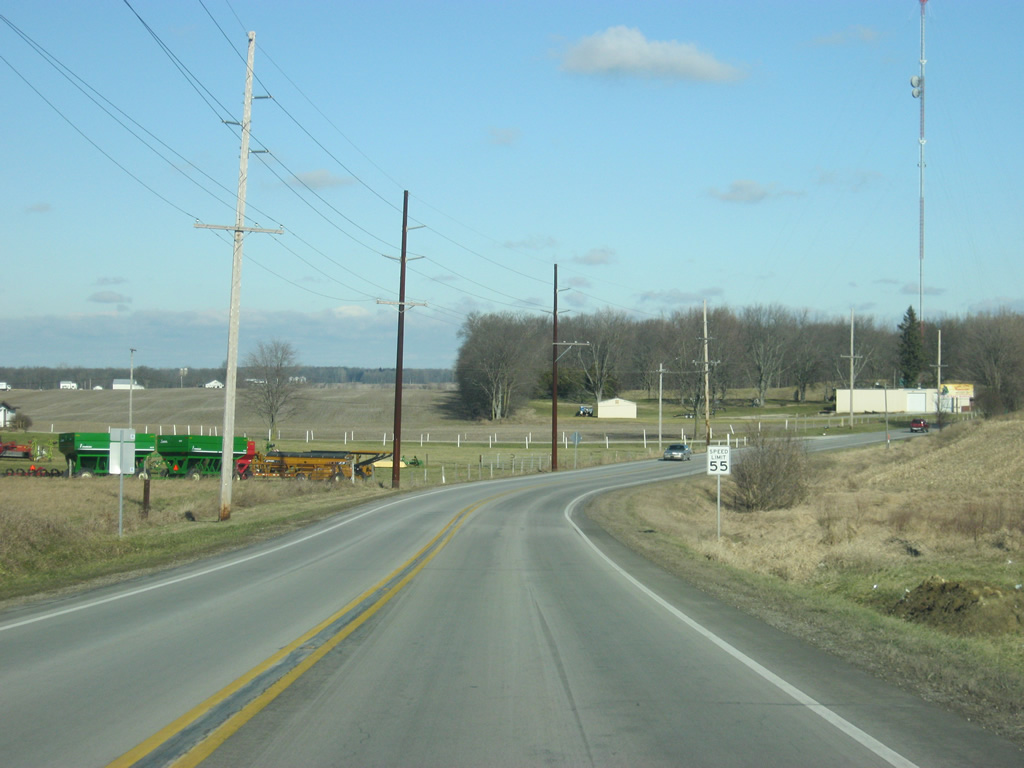
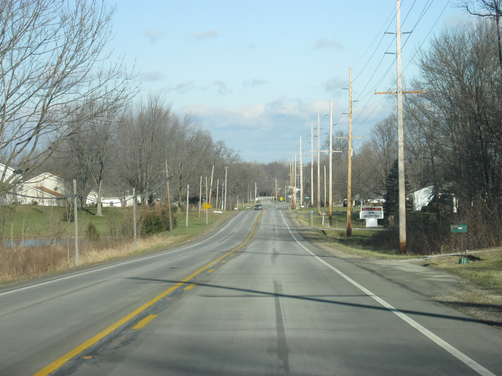
SR 15 continues to wind its way toward the northeast as it approaches the city of Warsaw.
03/05/11
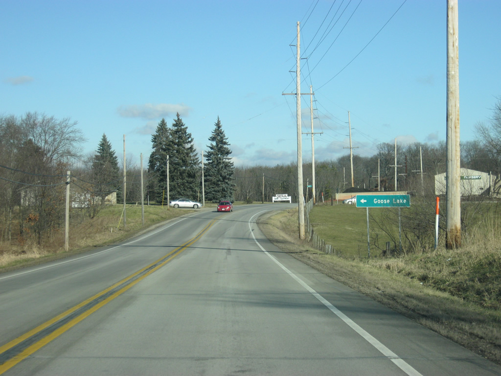
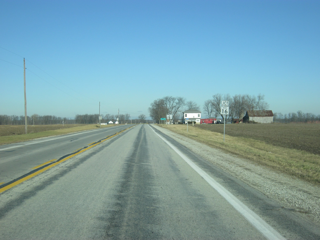
SR 15 at the intersection with County Road 300 South, which leads off toward Goose Lake.
03/05/11
SR 15 continues beyond County Road 300 South into the southern outskirts of Warsaw.
03/05/11
SR 15 at the intersection with County Road 200 South on the far south side of Warsaw. To the west, County Road 200 South leads to SR 25.
03/05/11
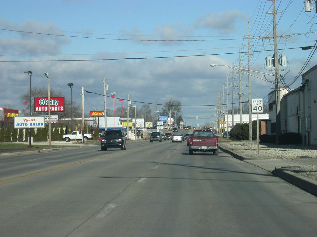
SR 15 enters the Kosciusko County seat of Warsaw (population 13,559). Warsaw has the nickname of Lake City because there are three lakes within the city limits. The city also has the nickname of Orthopedic Capital of the World because it was the location of the first orthopedic device manufacturing and today holds three of the top-ten companies in the world for such devices.
03/05/11
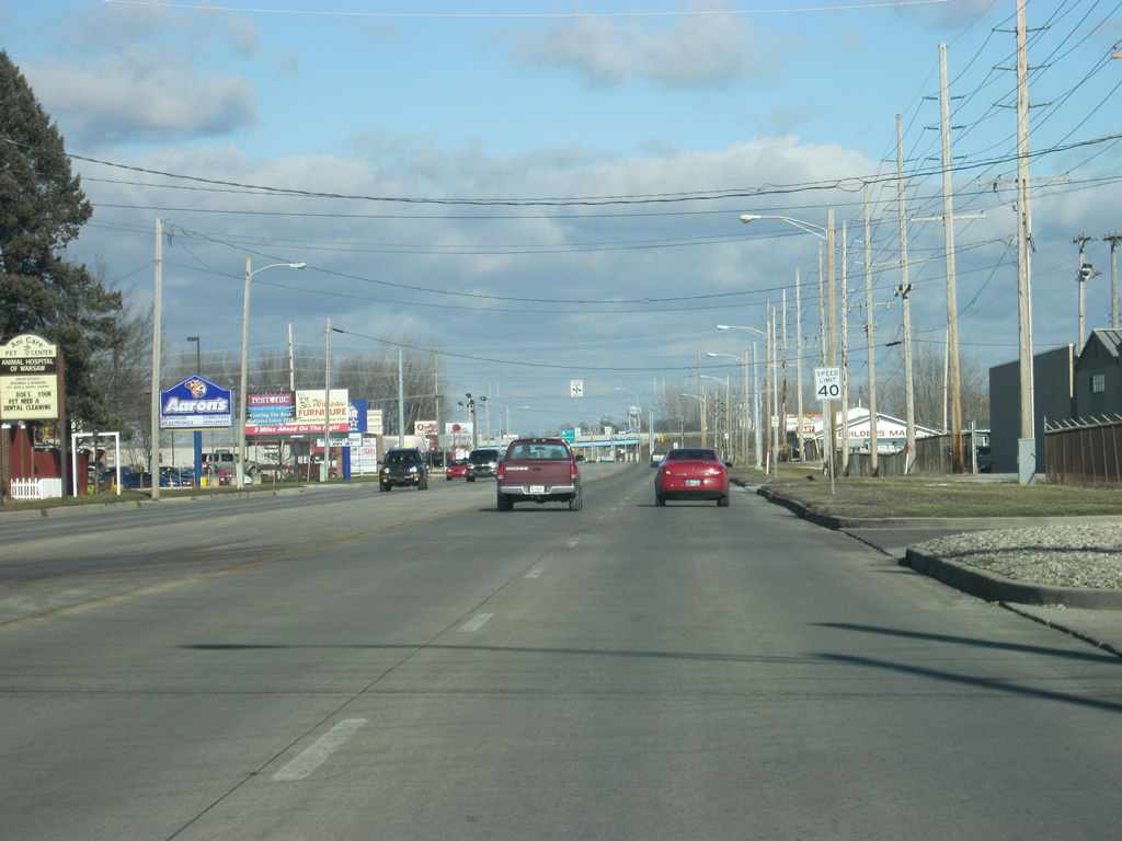
SR 15 is known as Fisher Avenue for its southern part through Warsaw. En route to Downtown Warsaw, SR 15 (Fisher Avenue) passes by the Warsaw Community High School campus.
03/05/11

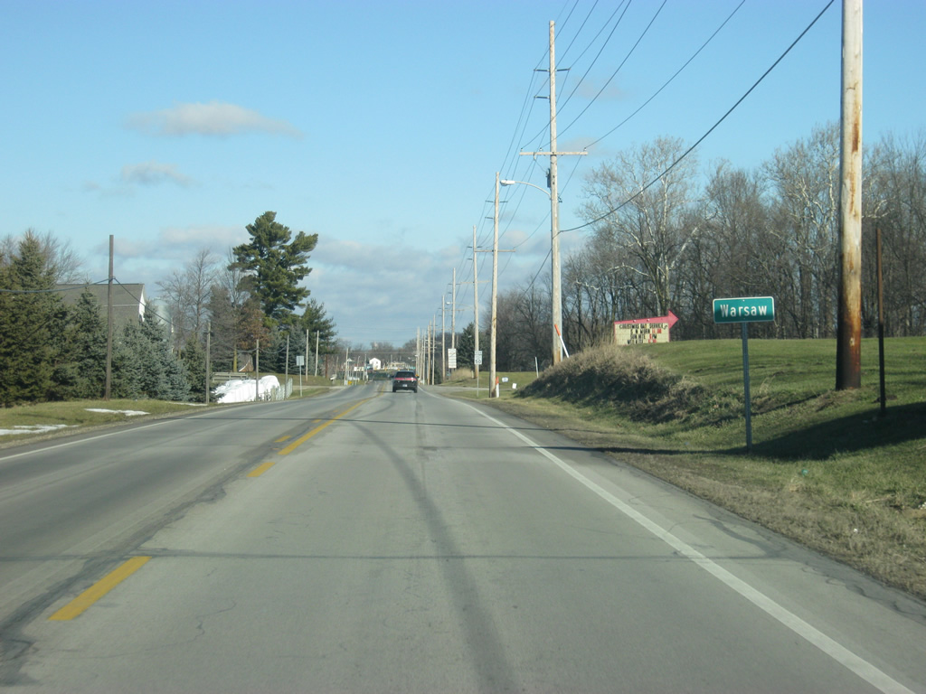
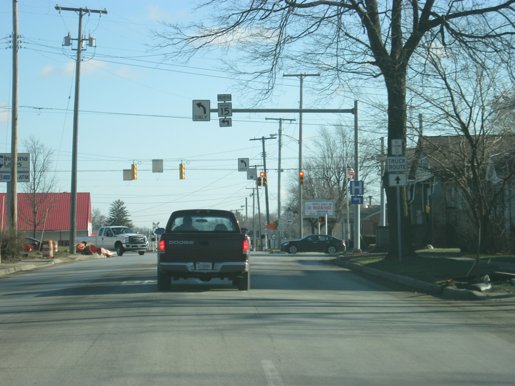
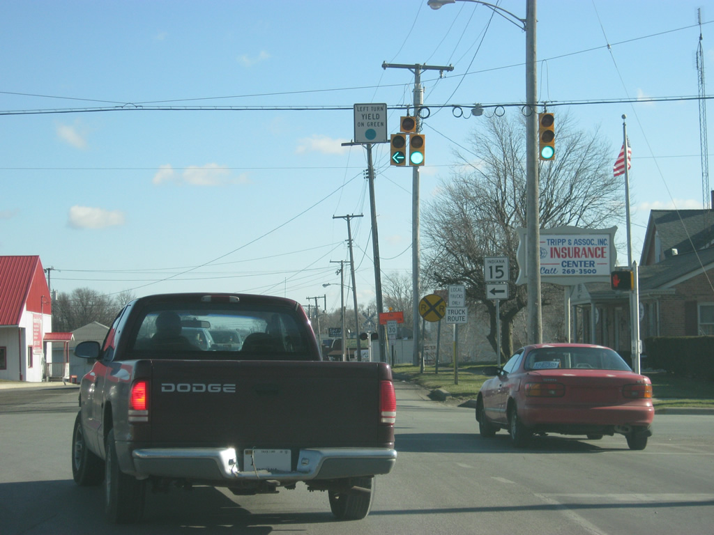
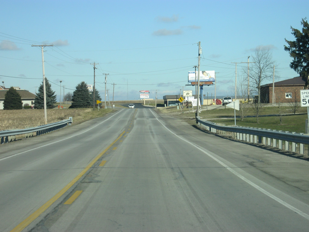
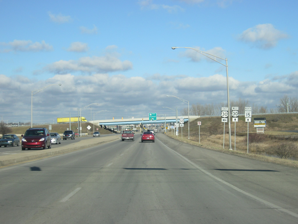
Outside of Downtown Warsaw, SR 15 follows the path of Buffalo Street up to the intersection with SR 25 west (Winona Avenue). SR 25 goes for 123 miles from its northern terminus here in Warsaw to the southwest through Rochester, Logansport, Delphi, and Lafayette before ending at SR 32 near Waynetown. SR 15 heads east along Winona Avenue while Buffalo Street continues north toward the heart of Downtown Warsaw.
03/05/11
SR 15 follows Winona Avenue to the east for three blocks before it turns onto Detroit Street to the north.
03/05/11
Now at the intersection with Winona Avenue and Detroit Street. SR 15 hooks a left to go north along Detroit Street while Winona Avenue continues east toward the town of Winona Lake and Grace College.
03/05/11
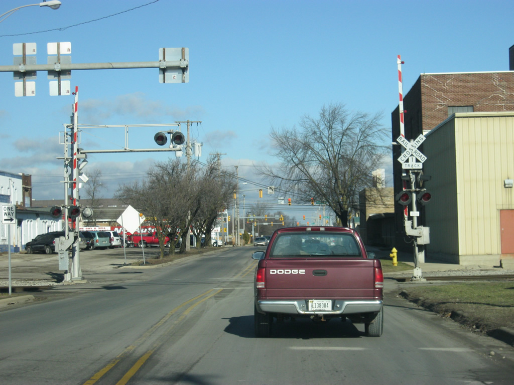
North of the Winona Avenue intersection, SR 15 (Detroit Street) crosses the CSX Railroad tracks to the east of Downtown Warsaw.
03/05/11
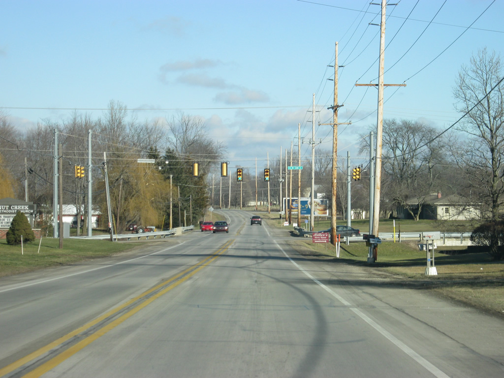
SR 15 (Detroit Street) continues two blocks to the intersection with Center Street. Center Street to the east leads to the U.S. 30 expressway (Lake City Highway). At one time, U.S. 30 followed the Lincoln Highway along Center Street to Downtown Warsaw.
03/05/11
SR 15 (Detroit Street) at the intersection with Fort Wayne Street. Central Park is located to the west of SR 15 (Detroit Street) along Fort Wayne Street.
03/05/11
North of Downtown Warsaw, SR 15 (Detroit Street) becomes a four lane highway as it passes in between Center Lake to the west and Pike Lake to the east. The state road transitions into a commercialized strip to the north of Warsaw as it approaches its interchange with U.S. 30 (Lake City Highway).
03/05/11
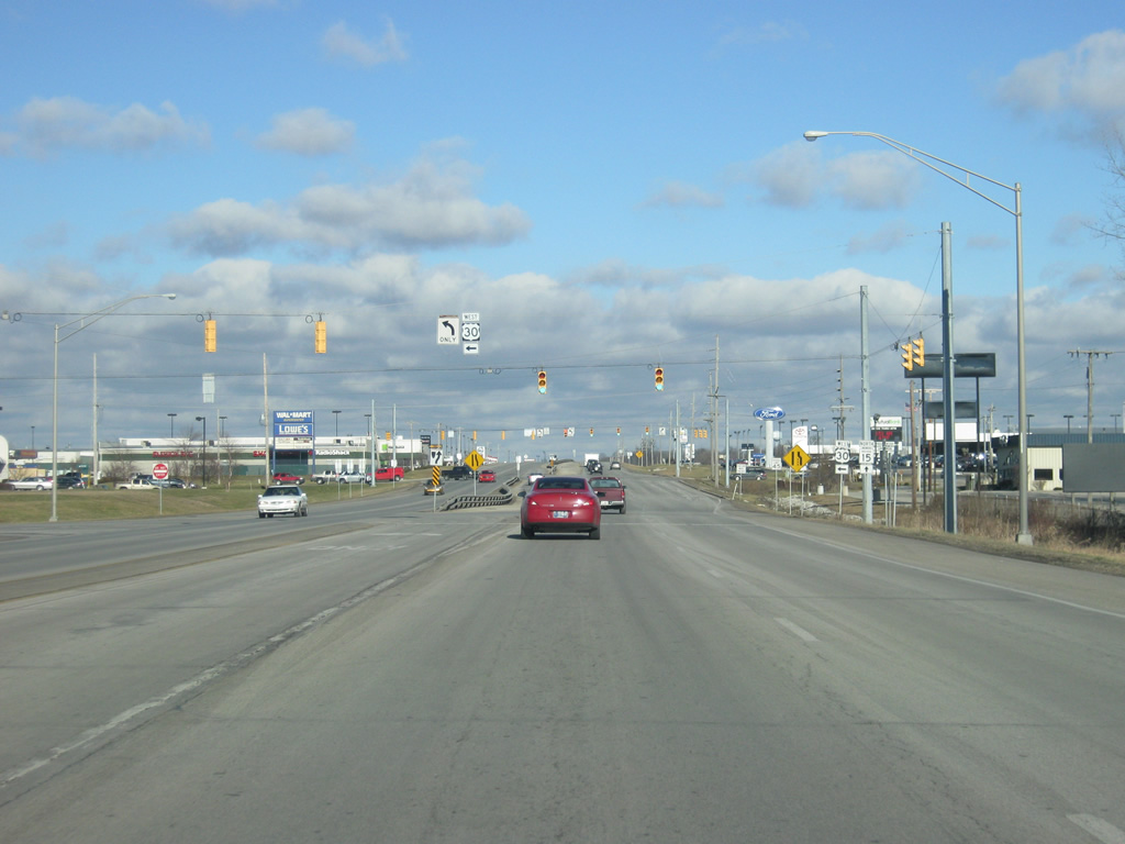
SR 15 (Detroit Street) reaches the interchange with U.S. 30 (Lake City Highway). U.S. 30 goes for nearly 159 miles in Indiana from Dyer on the Illinois state line to the Ohio state line east of New Haven. The U.S. highway is a four lane facility for its trip across the state, passing through Merrillville, Valparaiso, Plymouth, Warsaw, Columbia City and Fort Wayne.
03/05/11
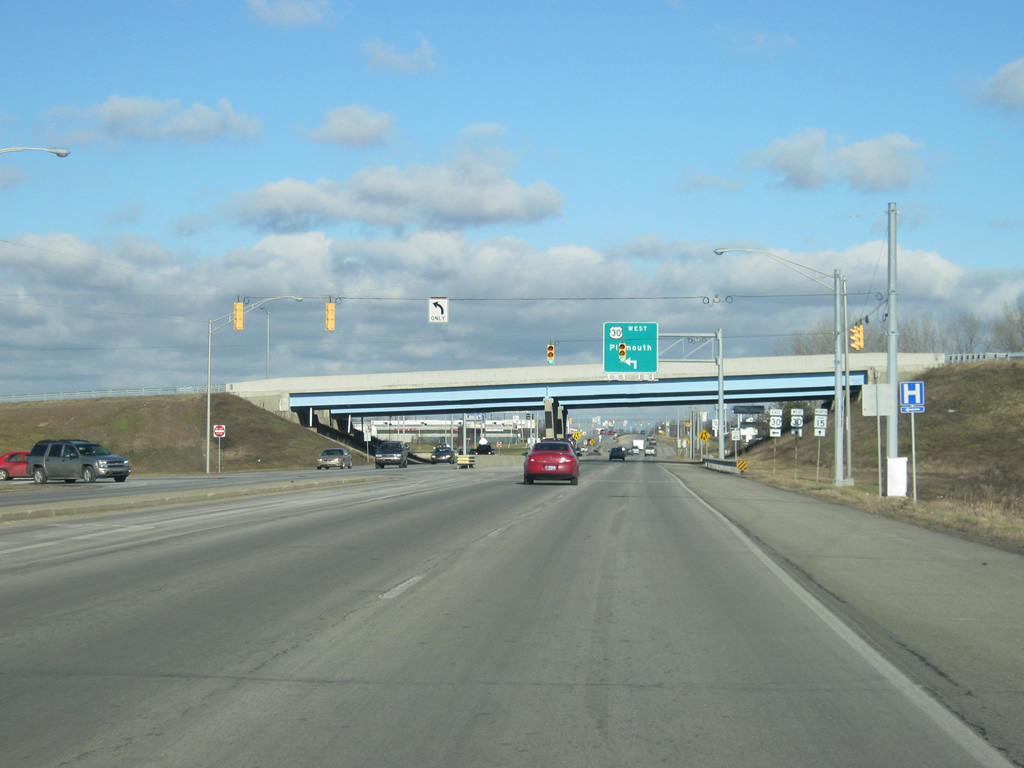
To the left, the entrance ramp leads to U.S. 30 east toward Columbia City and Fort Wayne.
03/05/11
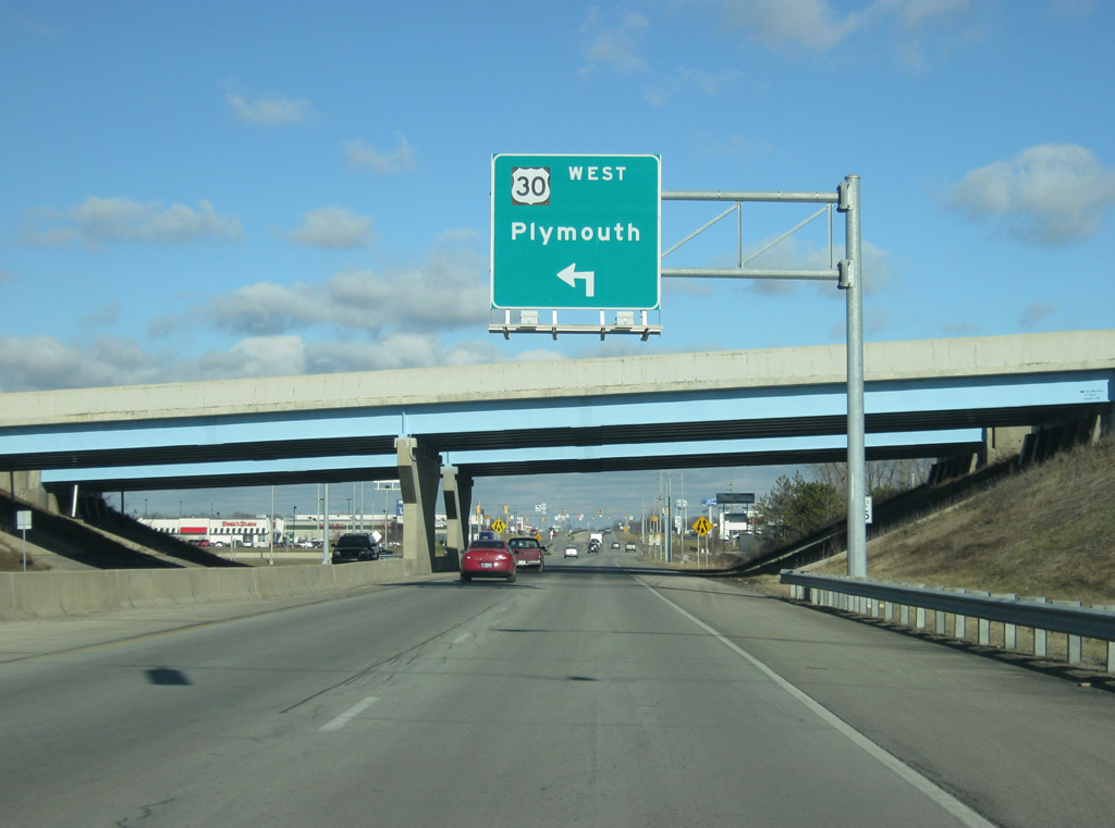
Plymouth is the control city for U.S. 30 to the west of Warsaw. U.S. 30 travels nationally for 3,073 miles from Astoria, Oregon to Atlantic City, New Jersey.
03/05/11
Now at the entrance ramp for U.S. 30 west toward Plymouth, Valparaiso, and the greater Chicago area.
03/05/11
Photo Credits:
- Thomas Decker: 08/16/09, 03/05/11
Connect with:
Page Updated Monday April 23, 2012.