
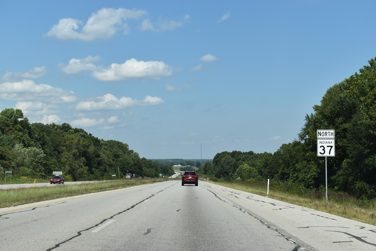
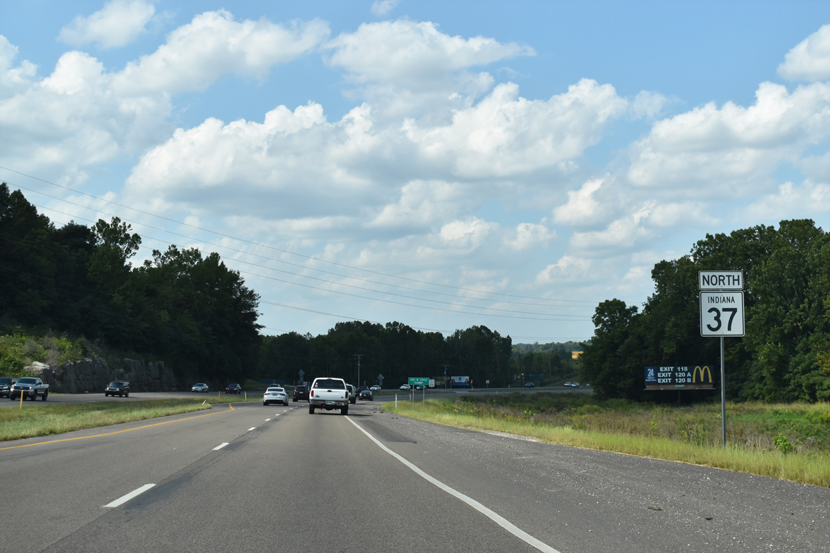
State Road 37 North - Bedford to Bloomington


Continuing north from the departure of U.S. 50 (16th Street) in west Bedford, SR 37 next meets John A. Williams Boulevard. The local arterial joins SR 37 with Lincoln Avenue.
09/08/20

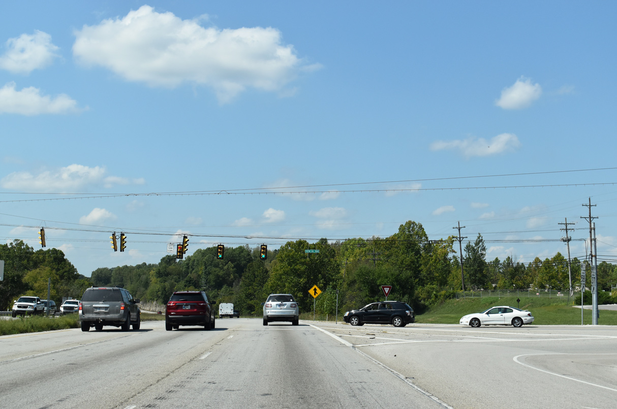
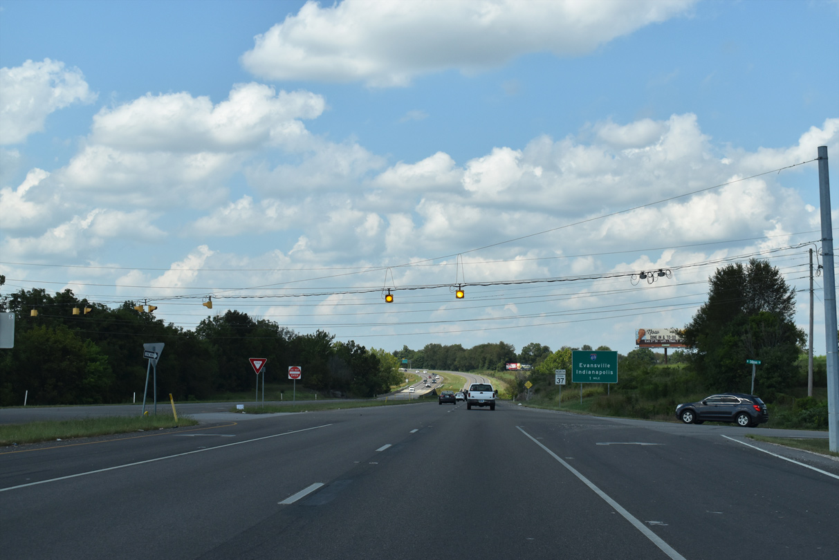
SR 58 ties into SR 37 from the east at the ensuing traffic signal, joining the state road on a three mile overlap. SR 58 travels 122.31 miles across the Hoosier State between Merom along the Wabash River and I-65 near Columbus.
09/08/20
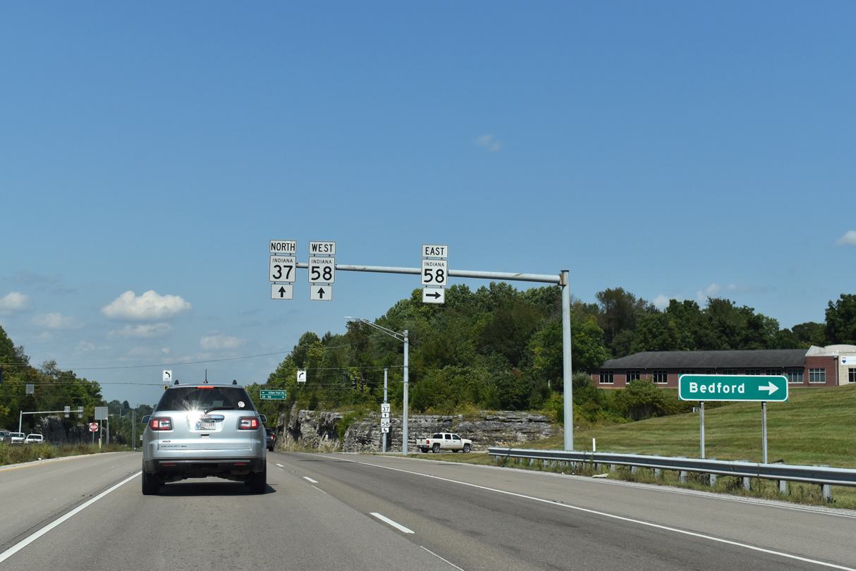
SR 58 generally follows 5th Street across the northern Bedford street grid before turning northeast to Hoosier National Forest.
09/08/20
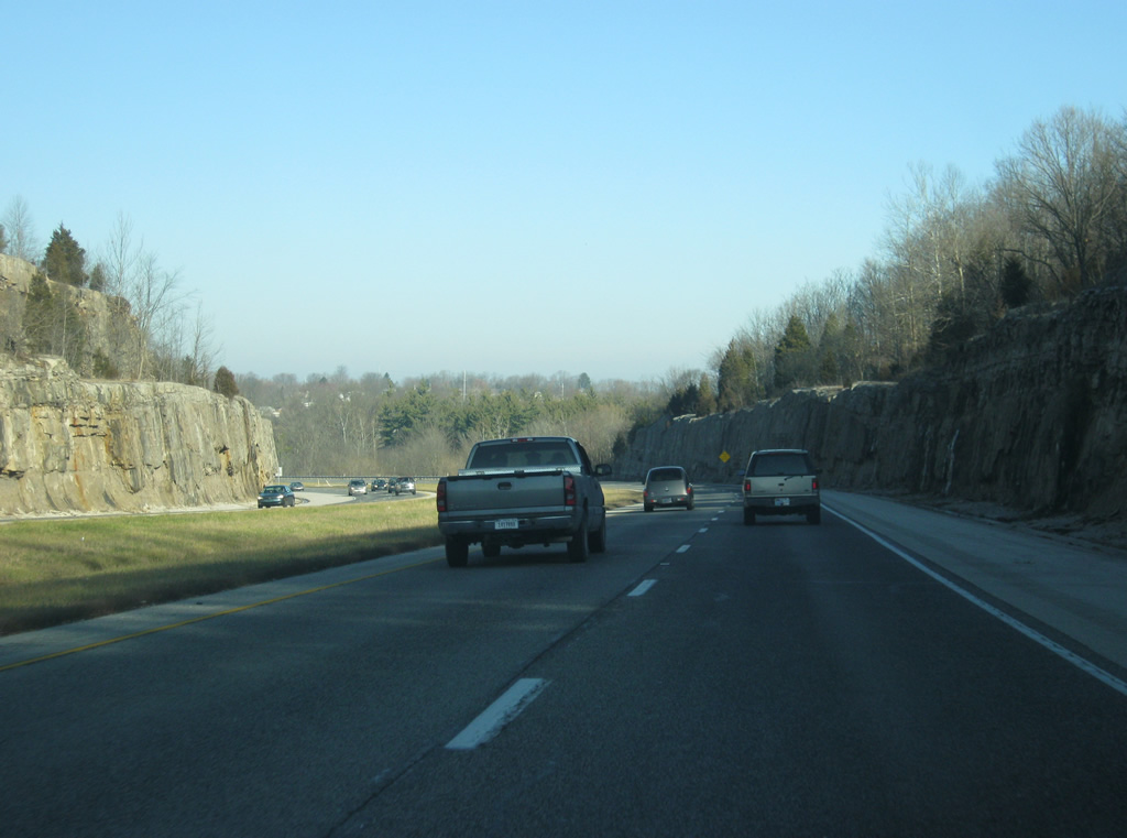
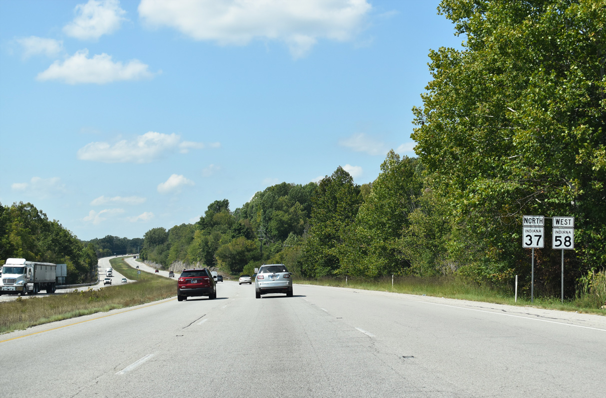
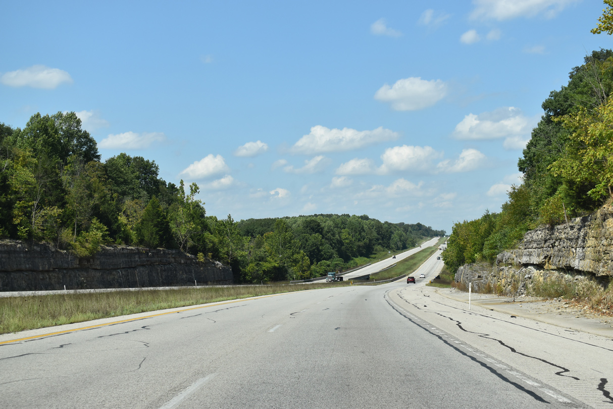
Indiana limestone rock cuts are more common as State Road 37 advances north through Lawrence and Monroe Counties. This area of the Hoosier State is also known as the Stone Belt.
12/18/11
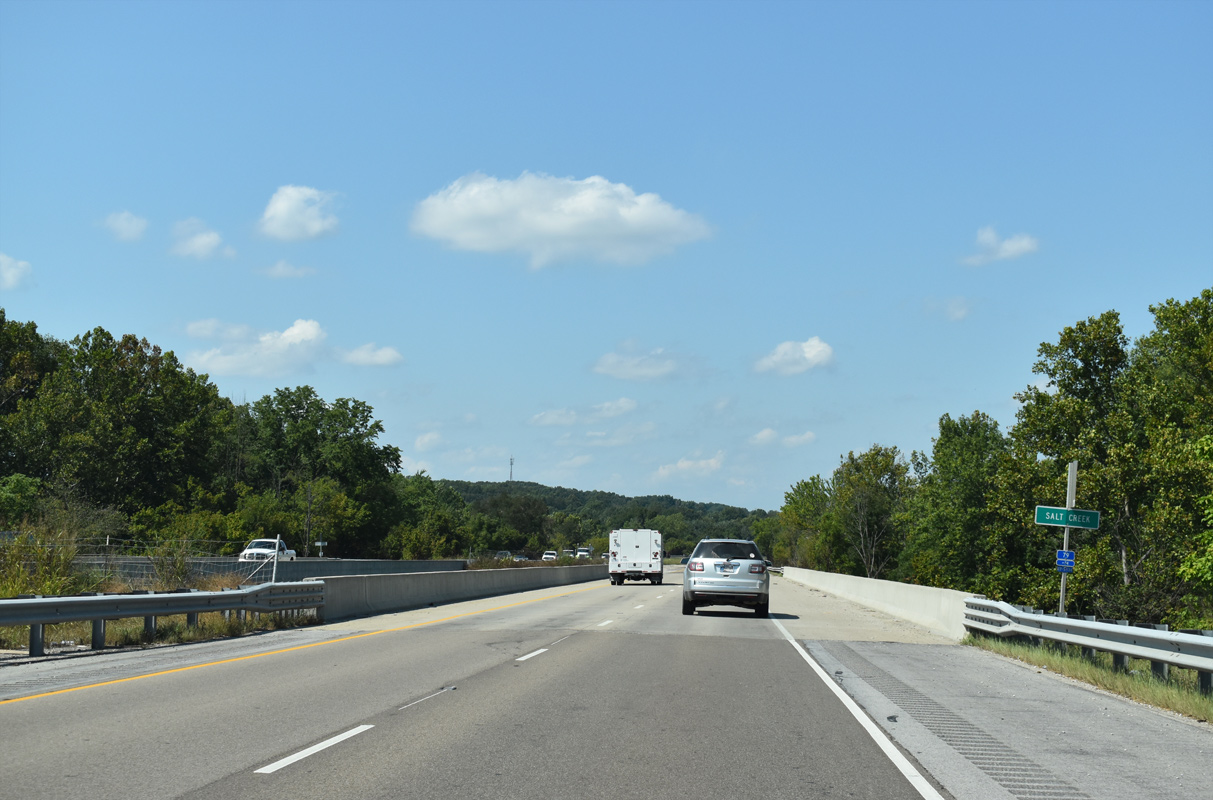
Leaving Bedford, SR 37/58 turn northwest to cross over Salt Creek.
09/08/20
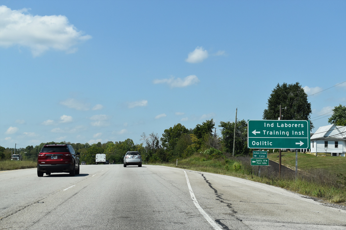
Main Street joins SR 37/58 with the town of Oolitic at the upcoming intersection. Originally named Limestone, Oolitic is home of some of the largest limestone quarries in the world, and its Indiana Limestone has been used for buildings including the Empire State Building and the Pentagon.
09/08/20
Main Street and Patton Hill Road come together at the ensuing traffic signal along SR 37 northbound. Main Street represents the former alignment of SR 37 through Oolitic before the state road was bypassed to the west.
09/08/20
SR 37/58 advances to the community of Avoca next.
09/08/20
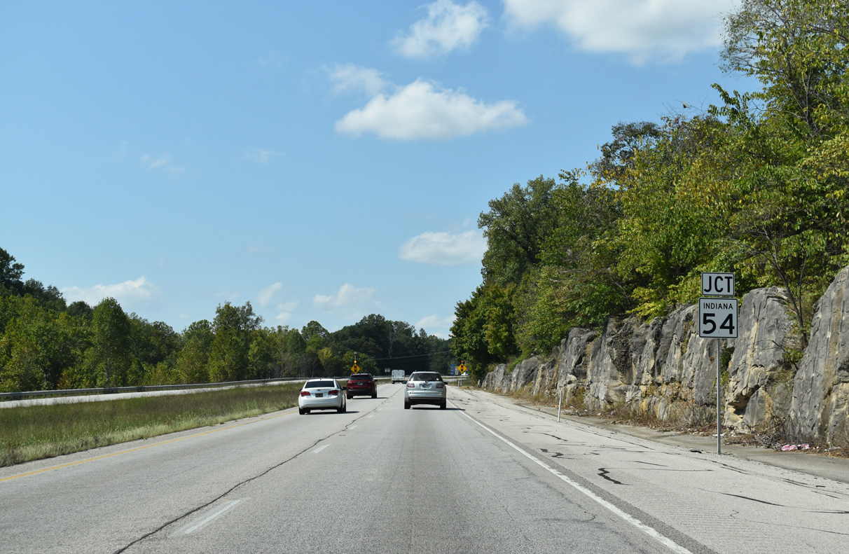
SR 58 departs ahead with the beginning of SR 54 west to Springville.
09/08/20
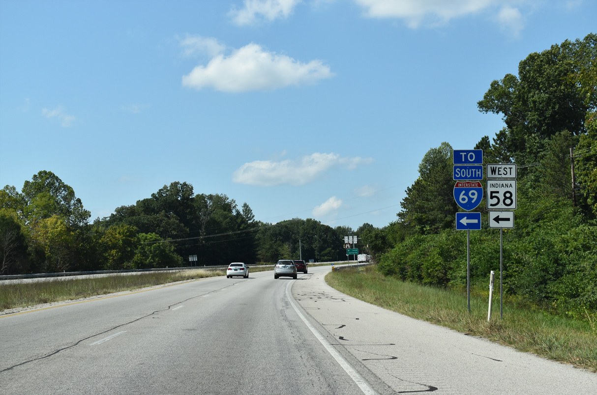
SR 58 leads 22.1 miles west from SR 37 to U.S. 231 at Interstate 69 near Crane.
09/08/20
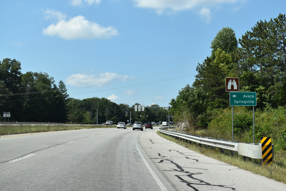
SR 37 passes Avoca to the east while SR 54/58 bypasses it to the west. SR 54 travels along a stair stepped course 65 miles west to U.S. 41/150 near Sullivan.
09/08/20

SR 58 follows SR 54 the first 5.3 miles before splitting for Owensburg and Doans.
09/08/20
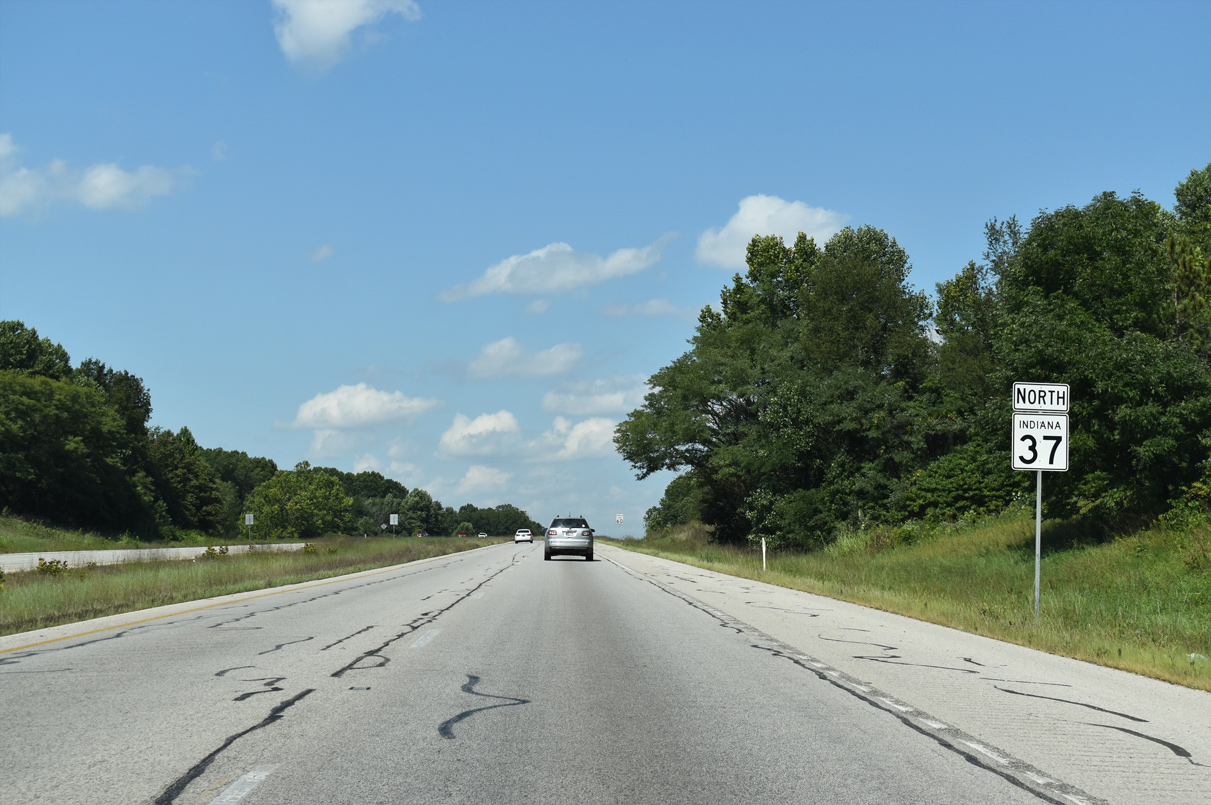
State Road 37 proceeds north from Avoca along a rural stretch through northern Lawrence County.
09/08/20
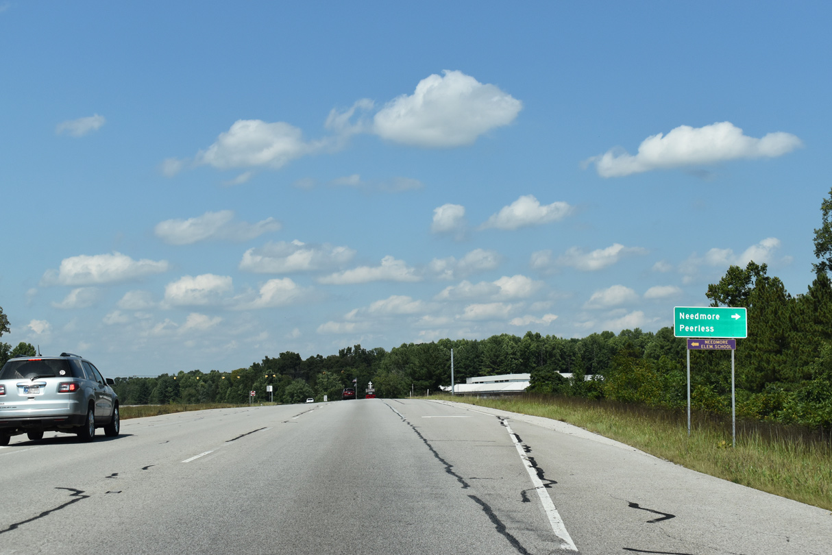
Trogdon Lane connects SR 37 north with the communities of Needmore and Peerless in the Marshall Township of Lawrence County.
09/08/20
This confirming marker is posted beyond the set of flashers at Trogdon Lane.
09/08/20
SR 37 lowers to cross Gulletts Creek ahead of Washboard Road.
09/08/20
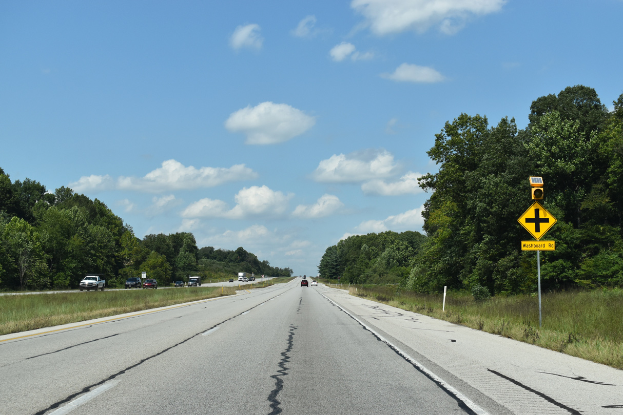
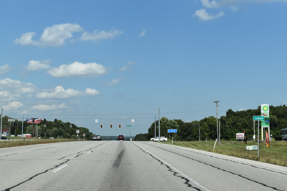
Washboard Road joins SR 37 to the south end of Judah.
09/08/20
SR 37 advances north from Washboard Road to Old State Road 37 next.
09/08/20
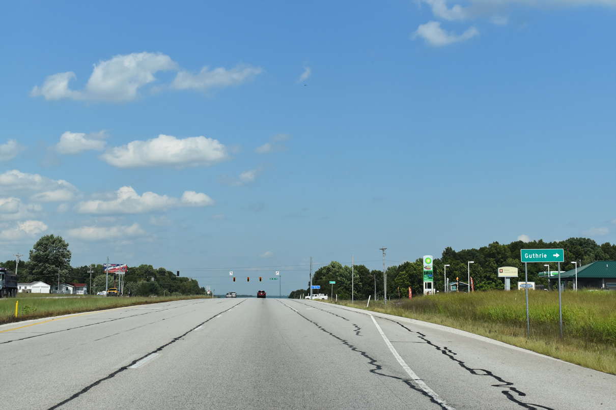
SR 37 nips the corner of Judah ahead of the intersection with Old SR 37. The community of Guthrie lies 2.4 miles to the east.
09/08/20
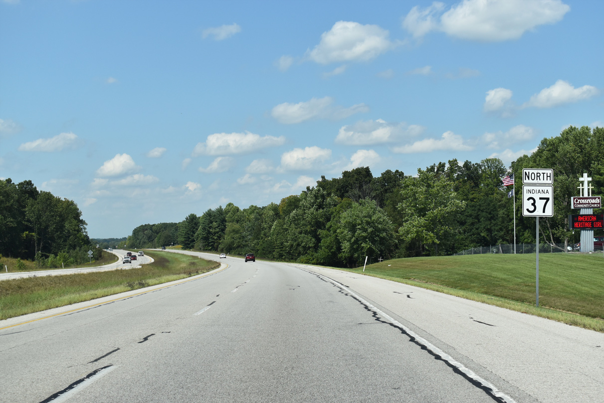
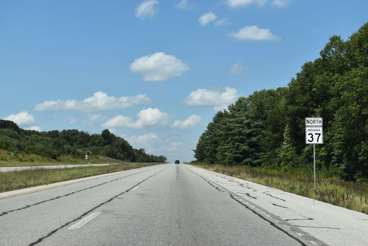
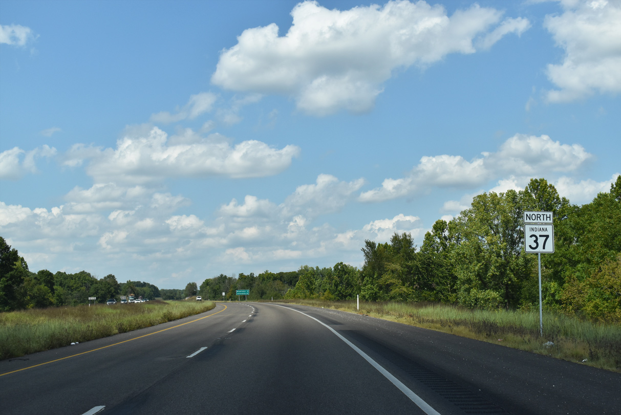
State Road 37 advances north beyond Judah toward Bloomington in adjoining Monroe County.
09/08/20

Ingram Road ties into SR 37 north at the Monroe County line.
09/08/20
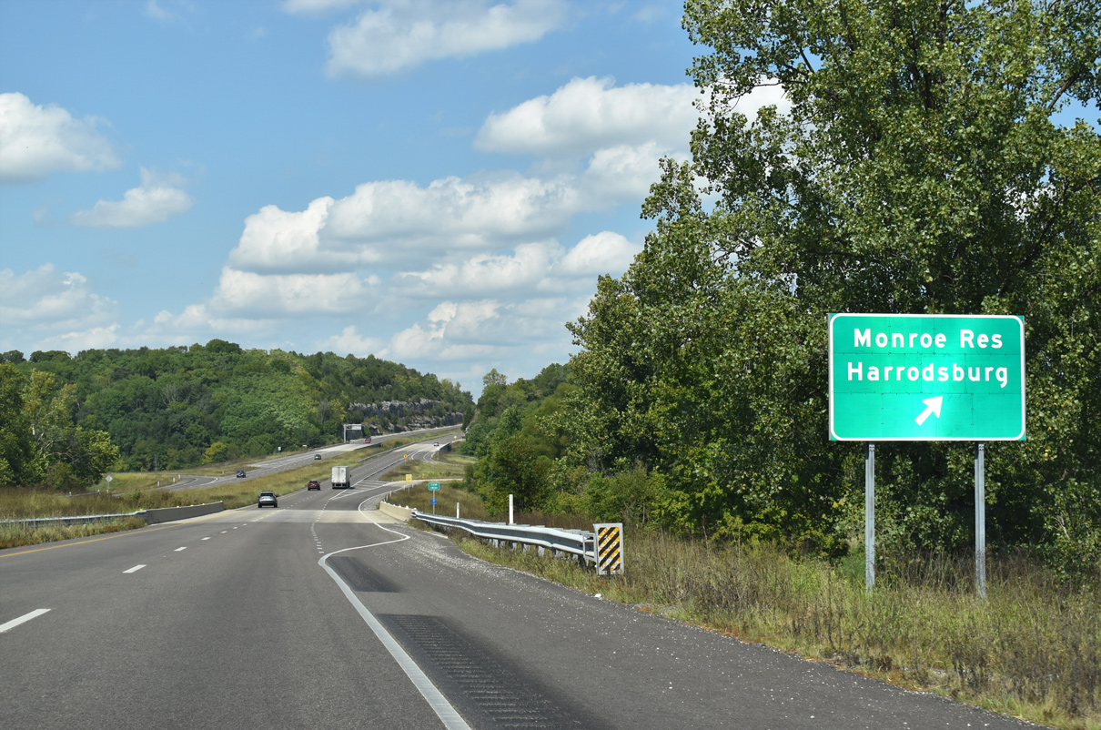
A folded diamond interchange joins SR 37 with Monroe Dam Road one mile ahead.
09/08/20
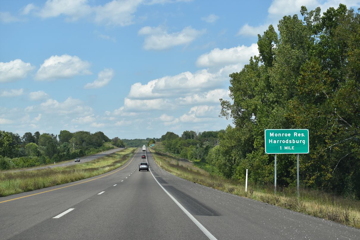
Monroe Dam Road leads two miles east to the Lake Monroe Reservoir at the base of the largest body of water in the Hoosier State. Lake Monroe was built by the U.S. Army Corps of Engineers in 1965 by damming Salt Creek1 and covers 10,750 acres.
09/08/20
SR 37 north spans Clear Creek ahead of the ramp to Monroe Dam Road.
09/08/20
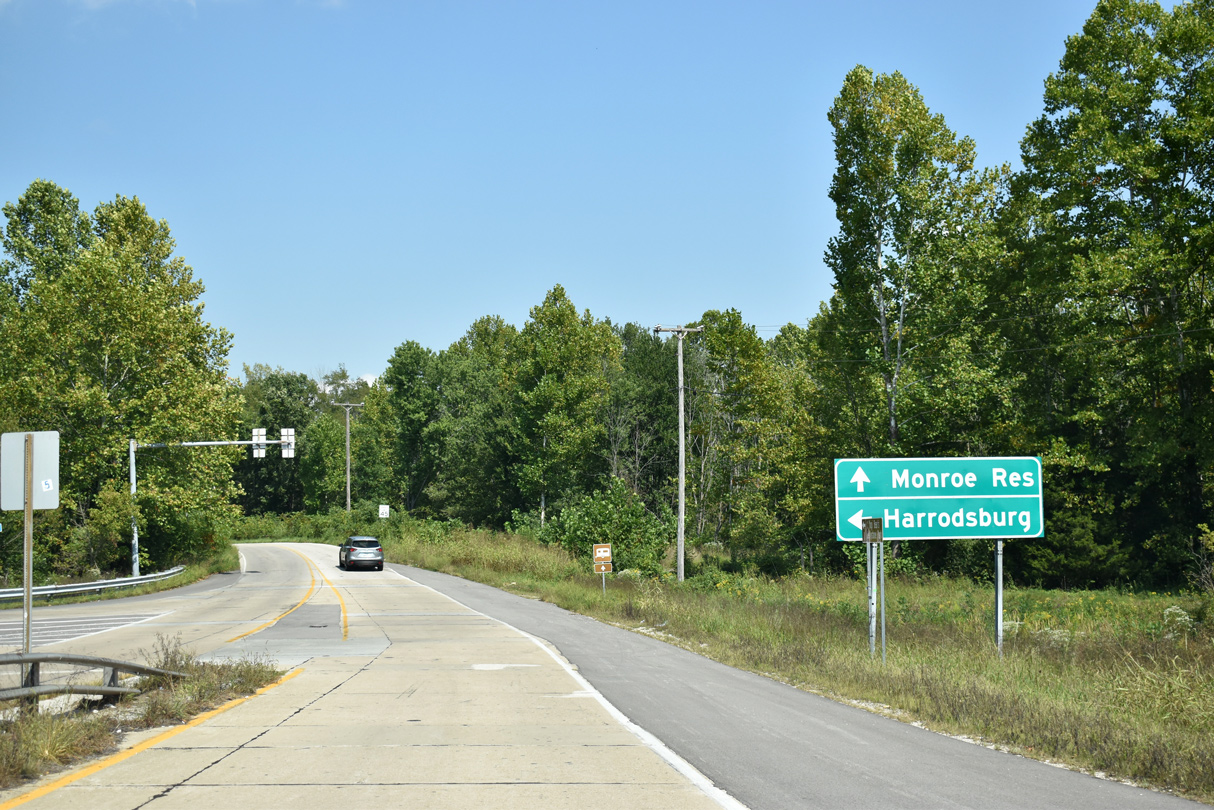
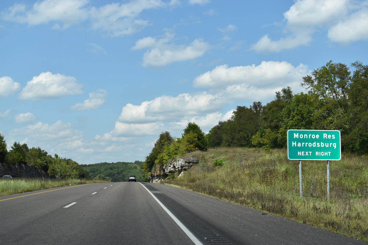
Harrodsburg lines SR 37 to the west of the interchange along Old SR 37 Road.
09/08/20

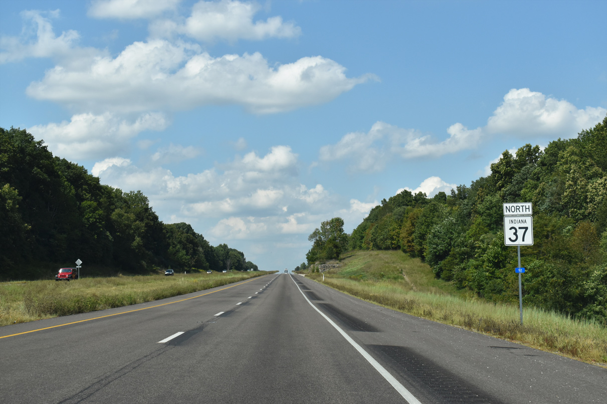
SR 37 ascends from Monroe Dam Road along a ridge to an elevation of 650 feet above sea level.
09/08/20
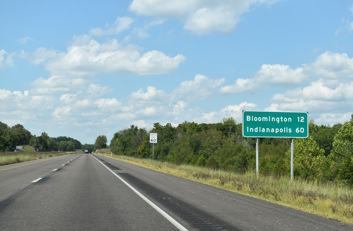
12 miles separate downtown Bloomington from SR 37 north as the capital city lies 60 miles out.
09/08/20

Rock cuts are evident along the ensuing stretch of SR 37 as it leaves the Stone Belt, the prime region for Indiana Limestone.
09/08/20
Zikes Road leaves SR 37 north along a J-shape course to Smithville Road ahead of this confirming marker.
09/08/20
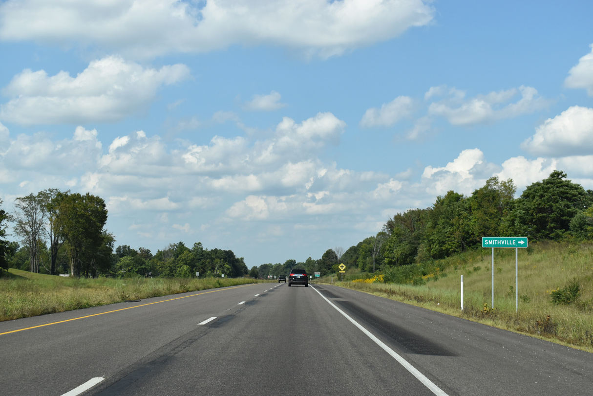
The community of Smithville is located within the Clear Creek Township of Monroe County 1.6 miles east of SR 37 along Smithville Road.
09/08/20
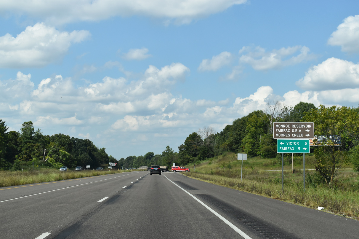
Both Moores Creek and Fairfax State Recreation Areas are located along the western edge of Lake Monroe.
09/08/20
Beyond Smithville Road, SR 37 curves northwest to Walnut Street next.
09/08/20
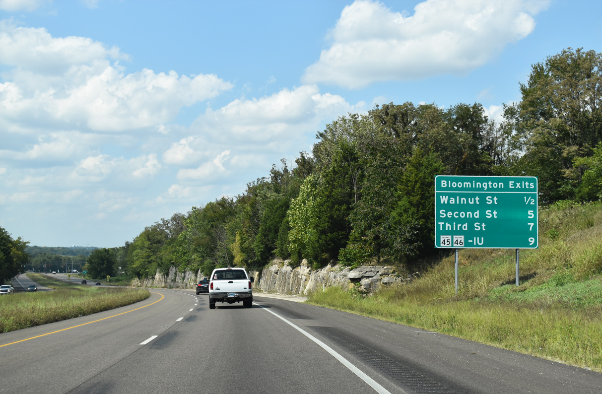
This community interchanges identification sign stands along SR 37 north ahead of the signalized intersection with Walnut Street. Walnut, 2nd, and 3rd Streets all connect to Downtown Bloomington while SR 45-46 bypass it to the north.
09/08/20
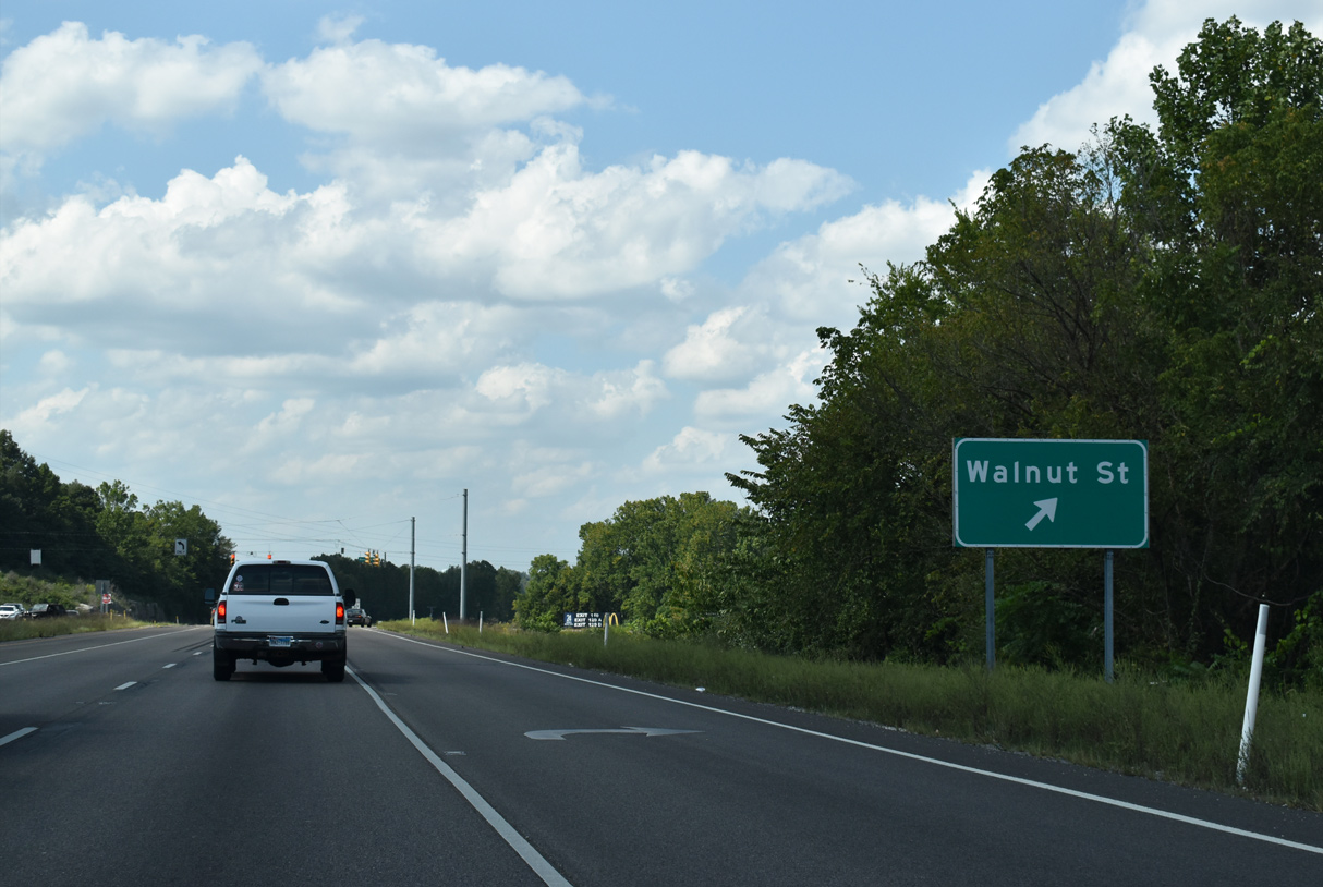
Walnut Street represents the former routing of SR 37 into Downtown Bloomington prior to building the bypass to the west.
09/08/20
SR 37 proceeds north from Walnut Street along the Ruel W. Steele Highway.
09/08/20
Dillman Road crosses SR 37 at the penultimate at-grade intersection before the merge with I-69 north.
09/08/20

SR 37 joins Interstate 69 north to Martinsville and Indianapolis at a trumpet interchange one mile ahead.
09/08/20

Ruel W. Steele Highway rises over an abandoned railroad line ahead of Victor Pike and I-69.
09/08/20
Victor Pike meets SR 37 at a signalized intersection ahead of the ramps to I-69 north and south.
09/08/20
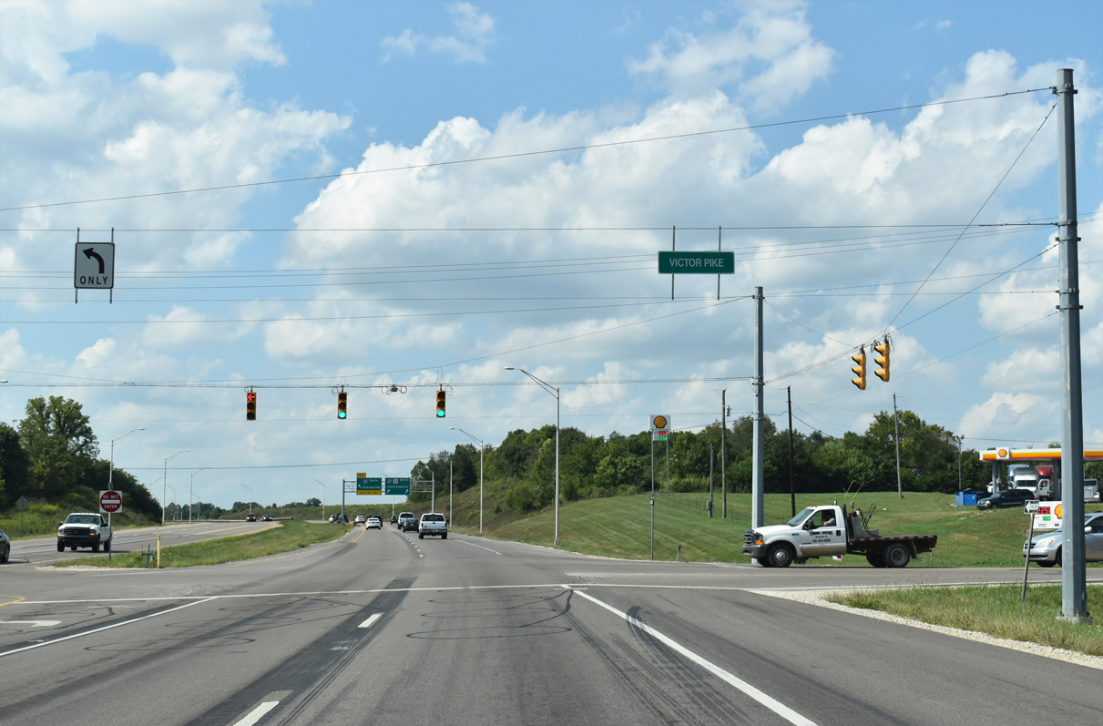
Victor Pike angles northeast to That Road and southwest to several limestone rock quarries in rural Monroe County.
09/08/20
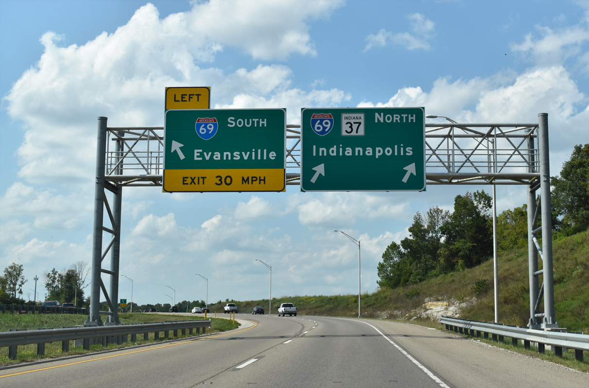
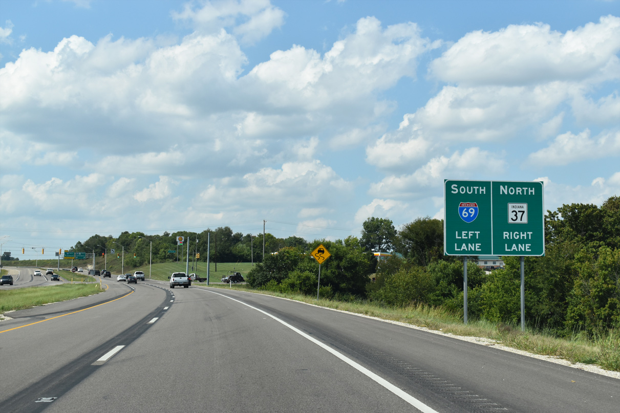
A loop ramp leaves for I-69 south to Evansville as northbound SR 37 merges with I-69 ahead. I-69/SR 37 advances northward around the west side of Bloomington en route to Martinsville.
09/08/20

References:
- Monroe Reservoir Interpretive Master Plan 2011 (pdf), Indiana Department of Natural Resources, retrieved November 20, 2020.
Photo Credits:
- ABRoads: 09/08/20
- Thomas Decker: 12/18/11
Connect with:
Page Updated Friday November 20, 2020.