
State Road 37 South - Monroe & Lawrence Counties

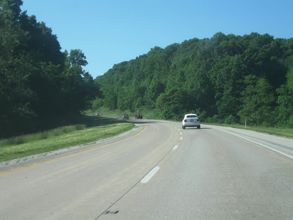
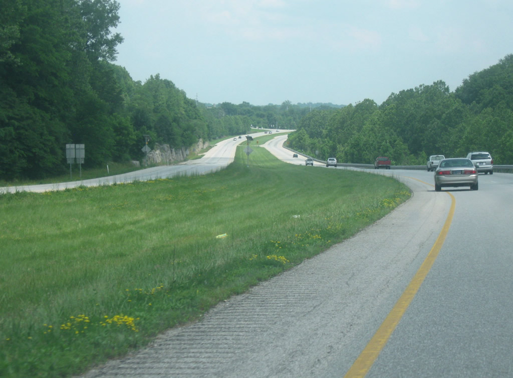
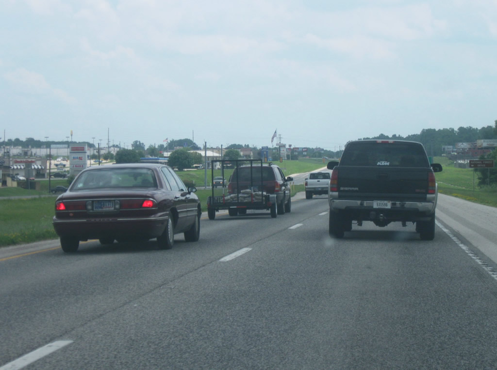
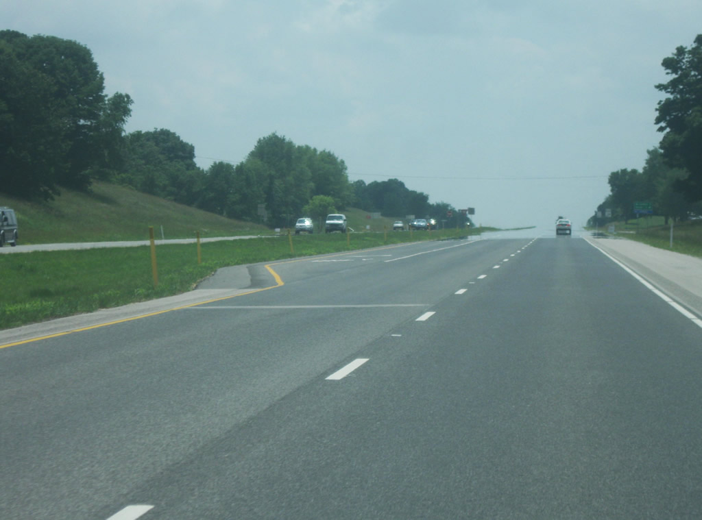
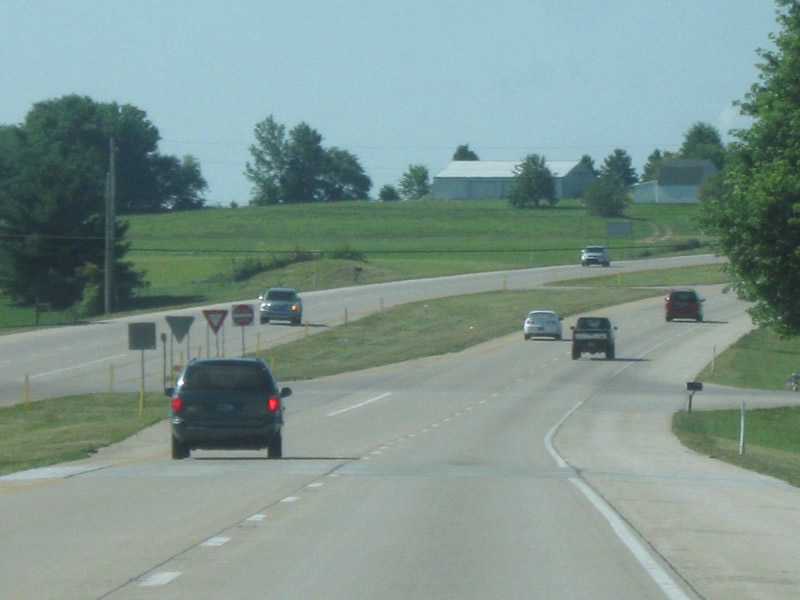
SR 37 climbs into the hills of northern Monroe County as the southbound lanes are separated from the northbound lanes. The northbound lanes follow the original alignment alongside the hill while the southbound lanes climb up it. The highway through this stretch is generally rural with a few businesses along the side, chiefly among them being Oliver Winery. The stretch of SR 37 from Martinsville to Bloomington is known as Section 5 of the future Interstate 69 and as with Section 6, there have been no final confirmations as to where the interchanges will be located between the two cities, but more than likely there will at least be one within this stretch, likely near Oliver Winery.
05/31/09
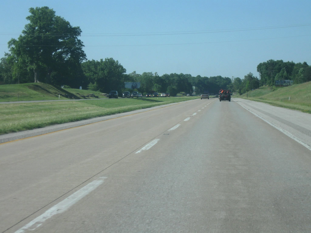
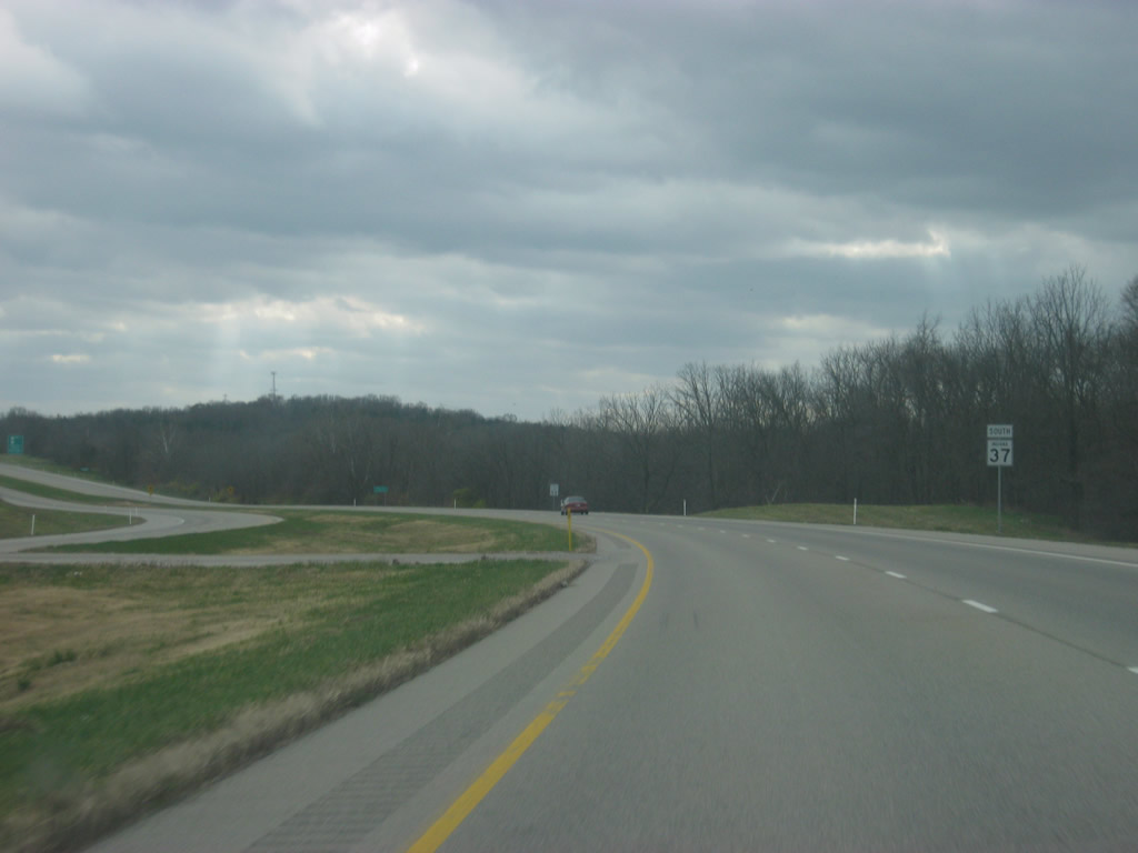
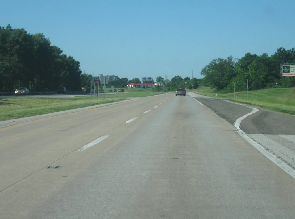
Continuing southward along SR 37 beyond the intersection with Williams Road.
05/31/09
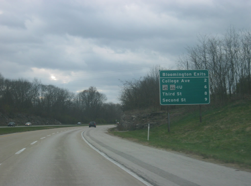
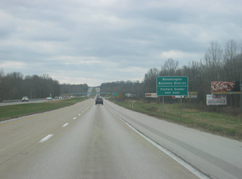
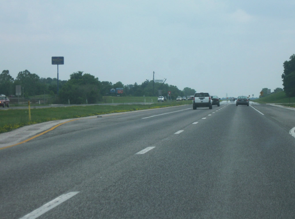
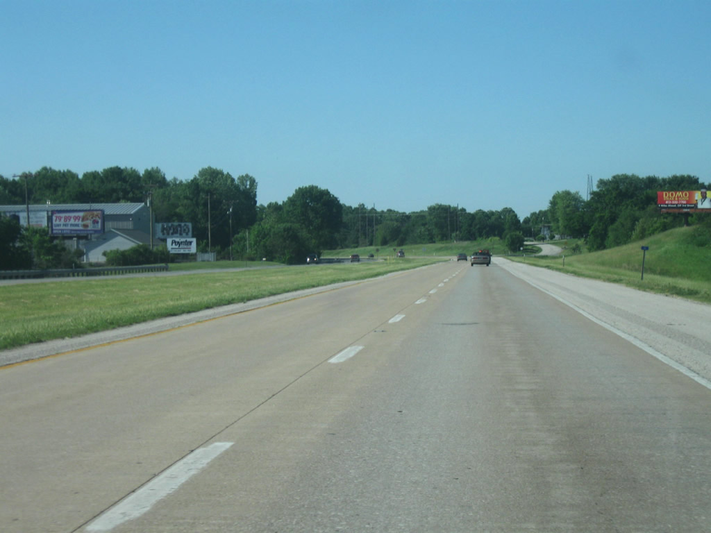
The next sign lists the four exits off of SR 37 into Bloomington. And as with the Martinsville sign, this sign does correctly refer to the junctions as exits. At this point, the first exit into Bloomington is only two miles away while the main part of the city is a few more beyond that. Bloomington itself is the major business and retail center for the surrounding region of South-central Indiana.
11/13/11
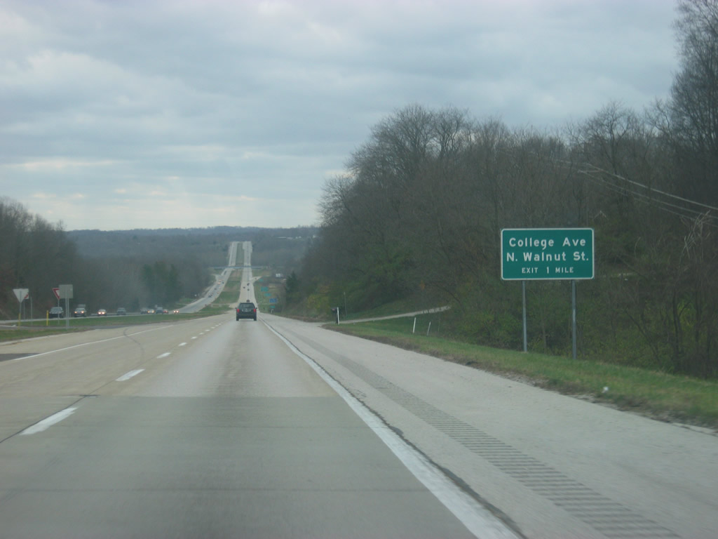
As SR 37 descends into the valley of Beanblossom Creek, the first exit for Walnut Street and College Avenue approach. For the first four miles past SR 37, the road is known as Walnut Street, which is the main north-south street through Bloomington and the original SR 37 before it was bypassed. College Avenue refers to the street that carries the southbound lanes of this route past the SR 45/SR 46 Bypass and all the way through downtown. Through the heart of Bloomington, Walnut Street goes north and College Avenue goes south.
11/13/11
The next sign directs travelers to exit off at Walnut Street/College Avenue to head to Downtown Bloomington. The Bloomington Visitor's Center is also located along Walnut Street about three miles south of this exit. The Visitor's Center is often the first destination for new prospects and their parents to Indiana University when wanting to find out about Bloomington.
11/13/11
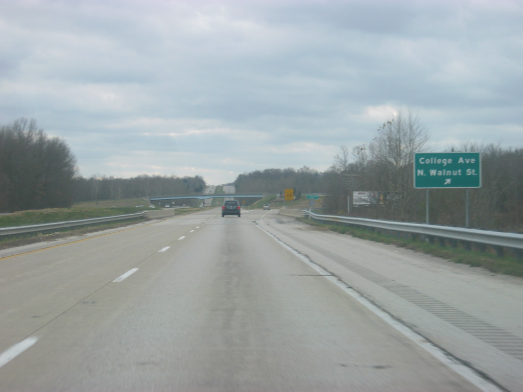
Walnut Street/College Avenue exits off of SR 37. The road, especially to the north and south of Bloomington is sometimes called Business Route SR 37, but as with any business route in Indiana it is locally managed. Most inner city Bloomington traffic leaves the highway at this point, as we are still four miles away from the main part of the city.
11/13/11
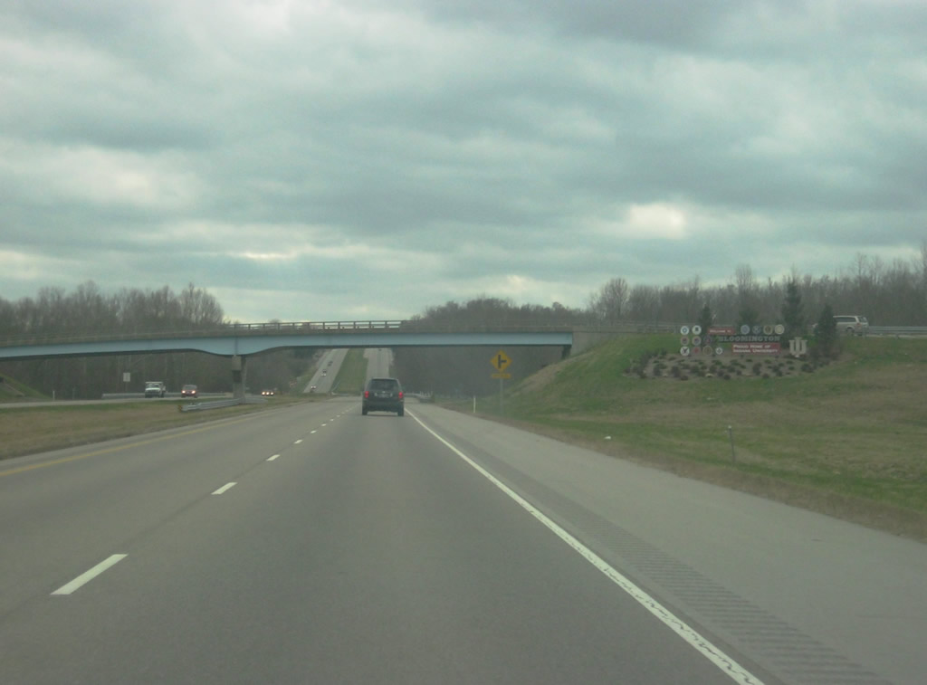
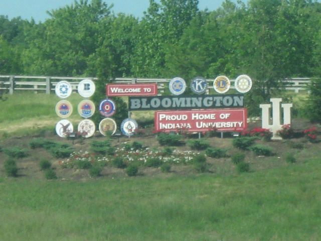
Although the corporation limits are still south of here, the gateway welcomes travelers to Bloomington, Indiana, the county seat of Monroe County with a population of 80,405. The city is famous. for the location of Indiana University and the athletic teams associated with them the IU Hoosiers. The town is also best known for its appearance in the moving Breaking Away which features the Little 500 Bicycle Race. This bicycle culture is well known in the Bloomington area and the city itself is an oddball compared to most Hoosier cities. The politics of Bloomington are decidedly Democratic and progressive, which has helped to create an atmosphere that is hostile to the future Interstate 69.
05/31/09
11/13/11
Limestone outcroppings line SR 37 as the highway climbs up the other side of the valley. Among the things the region of Monroe and adjacent Lawrence Counties are best known for is Indiana Limestone, and outcroppings like these become more familiar as one travels further south on SR 37. There is also a climbing lane for the southbound stretch of SR 37, another feature common on this highway.
11/13/11
A reassurance shield for SR 37 as the highway approaches the interchange with SR 45/SR 46.
11/13/11
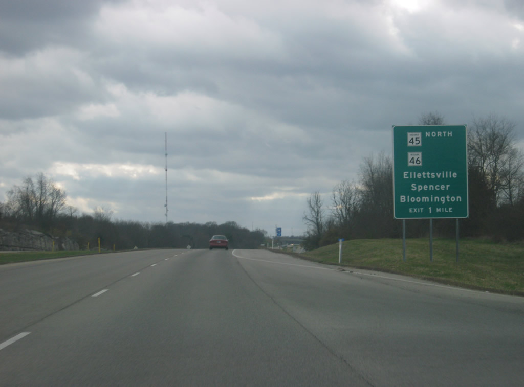
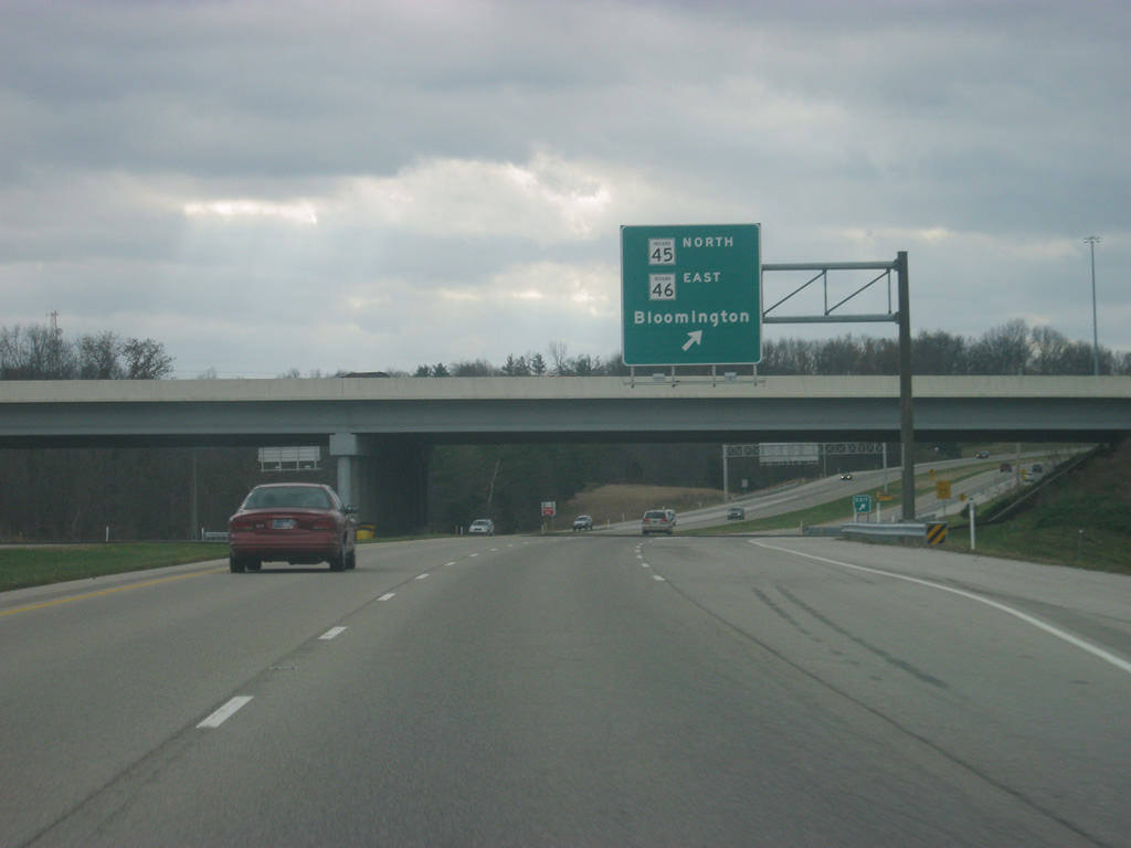
The first guide sign for the interchange with SR 46 and SR 45 North appears. The interchange was opened in 2002 as part of a larger project to realign SR 46 from SR 37 northwest toward the community of Ellettsville. SR 45 is a highway that goes from U.S. 231 near the Crane Naval Warfare Center up through Bloomington and northeast of there to SR 135 at Beanblossom. Through Bloomington, SR 45 follows SR 37 along the west side and SR 46 along the north side.
11/13/11
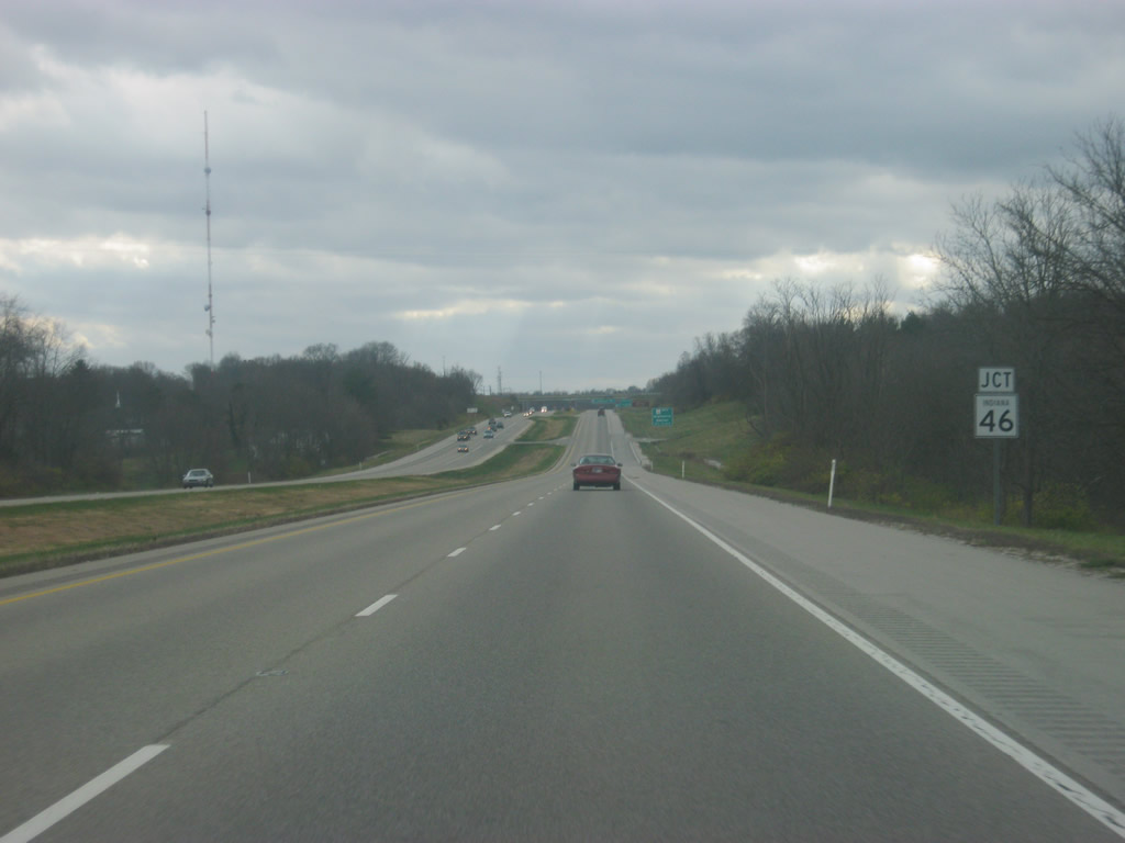
Part of the National Highway System from Spencer to the west to Nashville and Columbus to the east, SR 46 is a major highway across south central Indiana. The route begins outside Terre Haute in western Indiana and travels for 154 miles from Terre Haute to near West Harrison on the Ohio border. The route between Bloomington and Columbus is well traveled for a two lane road as it carries commuters and tourists through scenic Brown County.
11/13/11
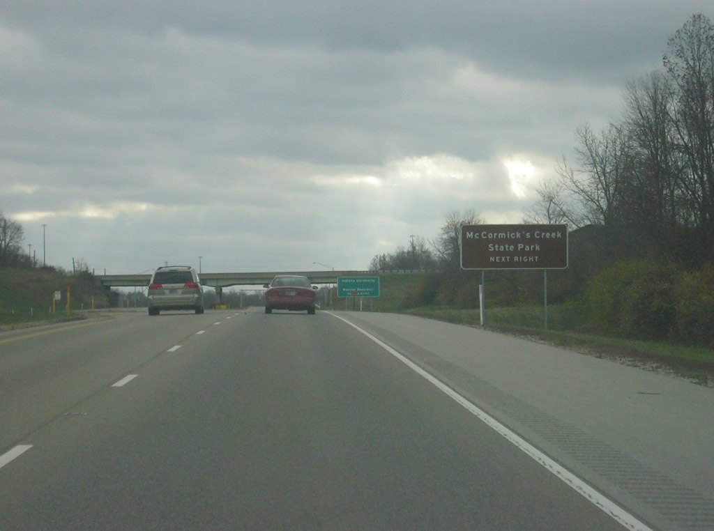
A guide sign directing travelers to SR 46 west to get to McCormick's Creek State Park in Spencer. Located about 15 miles northwest of SR 37, McCormick's Creek State Park is the oldest in the Indiana State Park system and is a popular attraction for residents of the area.
11/13/11
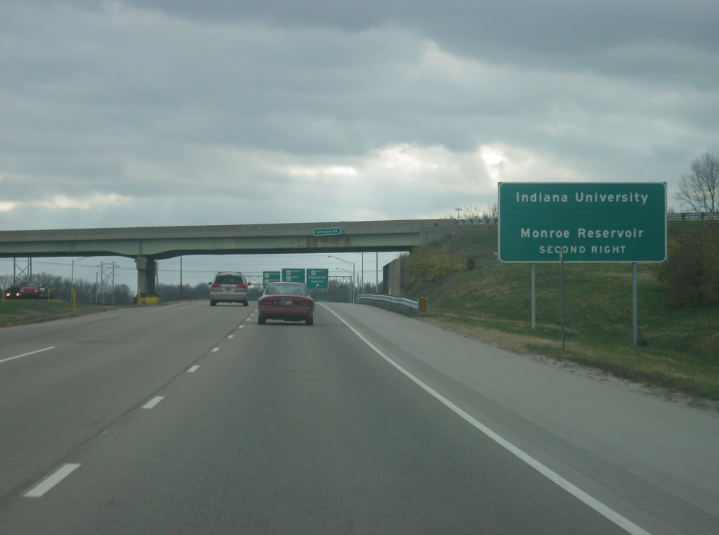
A guide sign directing travelers to both Indiana University and Monroe Reservoir, directed to take the second right. Indiana University is the most well-known attraction in Bloomington and Monroe Reservoir is the largest lake in the state and is a very popular recreation lake throughout the year. While the sign doesn't mention it, this exit is best for those traveling to the Paynetown, Pinegrove, Allen's Creek and Hardin Ridge State Recreation Areas of Monroe Reservoir, as well as the Hoosier National Forest. In the foreground, the Arlington Road overpass represents the original route for SR 46 from Bloomington to Ellettsville, and until the newer interchange was constructed to the south, this was where traffic had to go to travel west on SR 46. Those wanting to go east on SR 46 through Bloomington were directed to a stoplight at the current location of the new interchange. After 2002, all movements between SR 37 and SR 46 were moved to the new interchange.
11/13/11
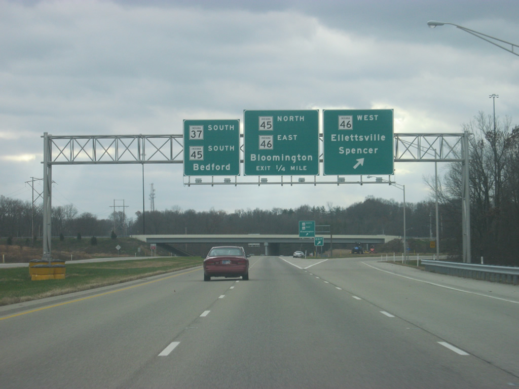
A parclo interchange joins SR 37 and SR 45/46. To the west is a four lane highway through the town of Ellettsville, a suburb of Bloomington and Spencer, the county seat of neighboring Owen County. Westbound SR 45 traffic is directed to continue south on SR 37, where Bedford has become the control city.
11/13/11
At this point, traffic is directed off for SR 45/SR 46 eastbound. Both routes share the same bypass around the Indiana University campus on the north and east sides of Bloomington, before splitting off into two separate routings. The bypass is currently a two lane road for most of its routing, but is being widen to be five lanes throughout. Once the expansion project is finished in 2012, SR 46 will be at least four lanes from the east side of Bloomington all the way west to Ellettsville.
11/13/11
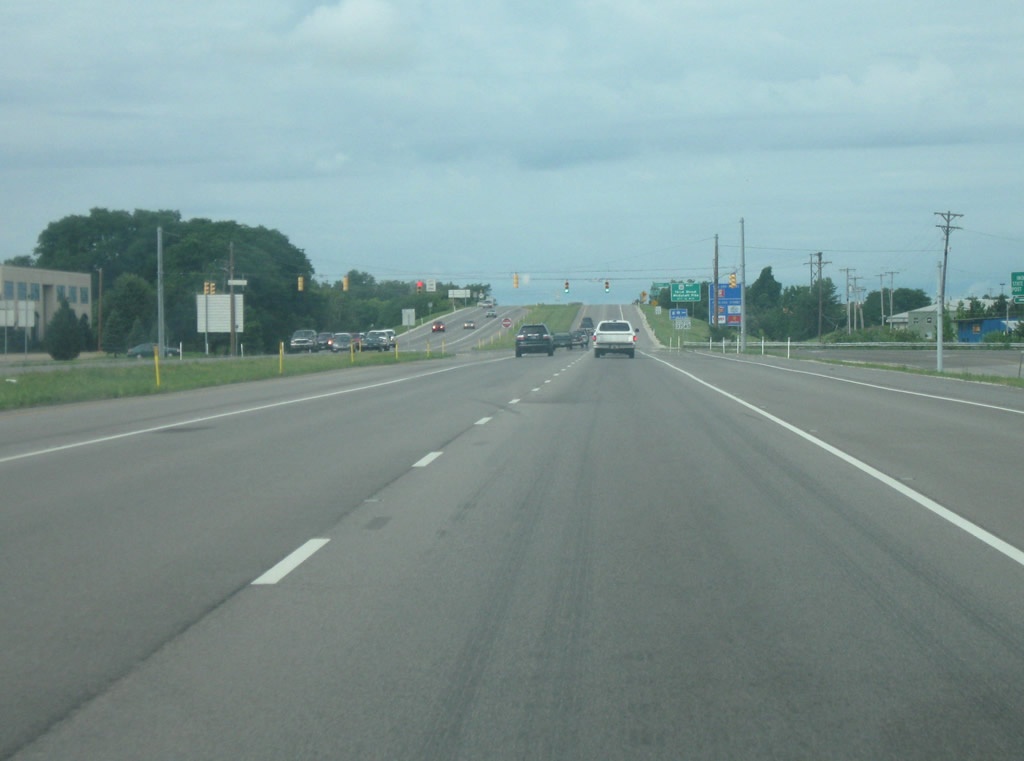
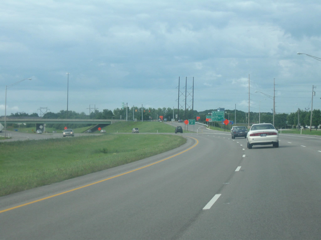
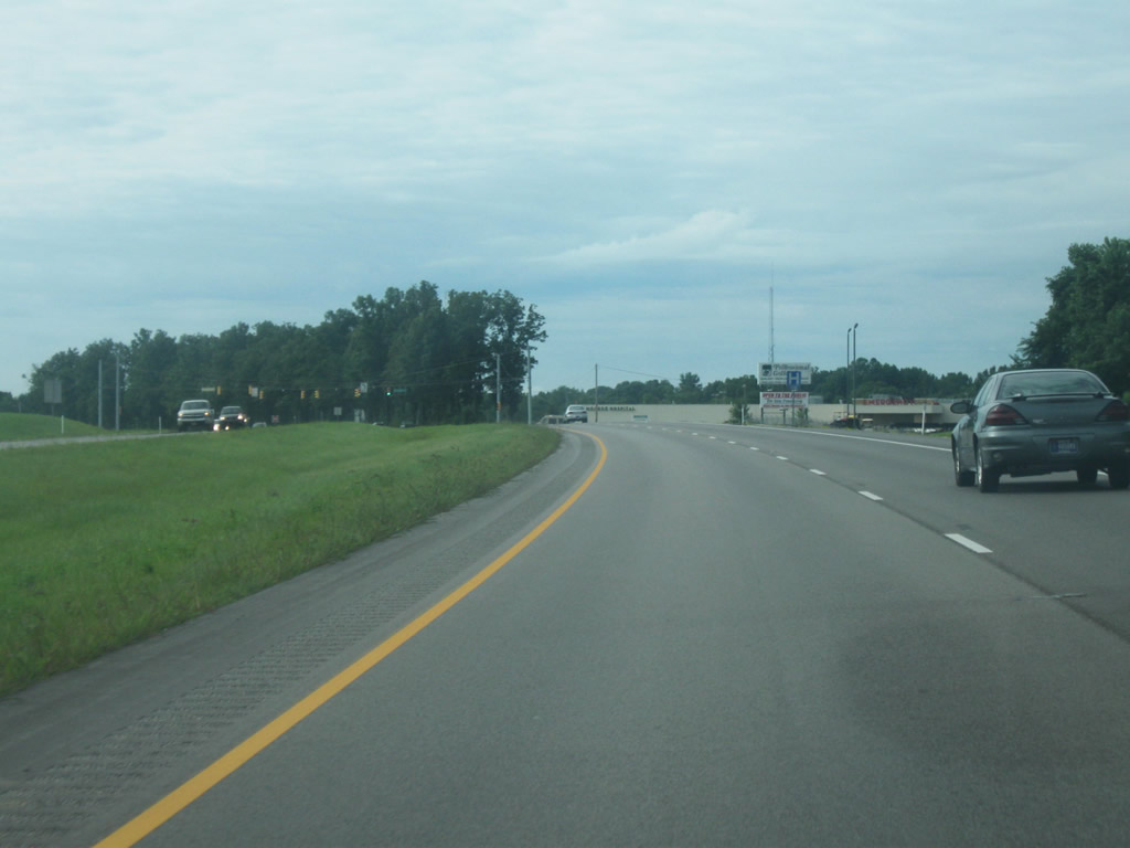
SR 37/SR 45 southbound briefly swells to four lanes as it takes on the acceleration lanes from both the westbound and eastbound exits off of SR 46 onto the highway. Through this exit and further south toward the SR 45 West interchange, SR 37 takes the appearance of a freeway, even though it isn't, primarily because of one stoplight intersection that is still present.
07/19/09
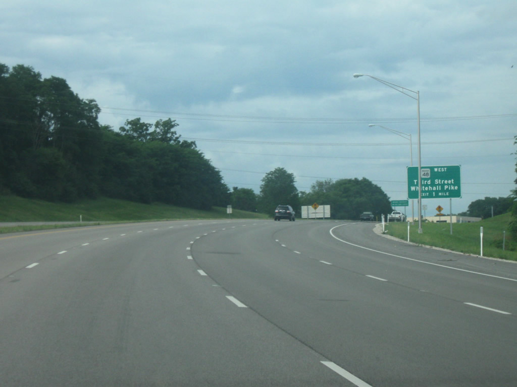
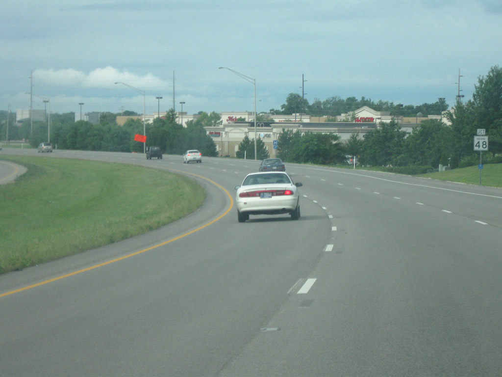
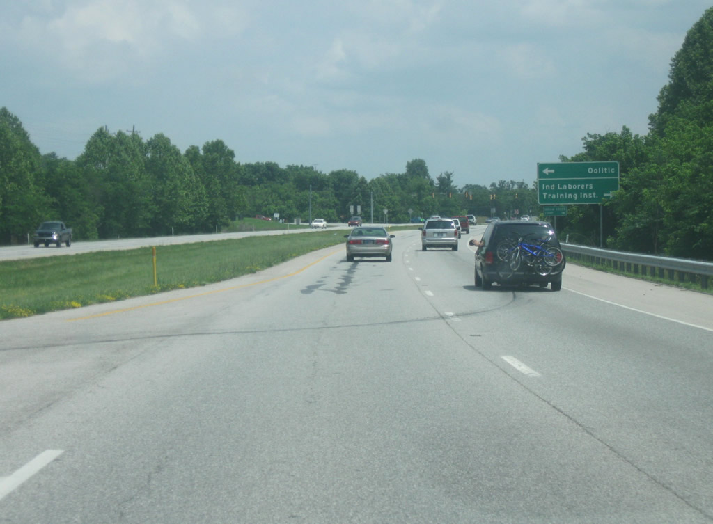
Still at four lanes, the sign for the next interchange, at SR 48 first appears. SR 48 is a minor highway that exists in three separate segments. In Monroe County, it exists for eight miles as it connects SR 37 with SR 43 in Whitehall at the far western reaches of the county. The exit itself is signed as Third Street and Whitehall Pike. Third Street is the name given to the road east of SR 37, as it becomes the main west-east road across Bloomington while Whitehall Pike is the name of the road to the west of SR 37.
07/19/09
Now SR 37 comes up to the stoplight with Vernal Pike, which provides a route to the northwestern part of Bloomington. This is the only point between the SR 46 interchange and the SR 45 West interchange that the highway has an at-grade crossing. When SR 37 is converted into Interstate 69, this will be an overpass.
07/19/09
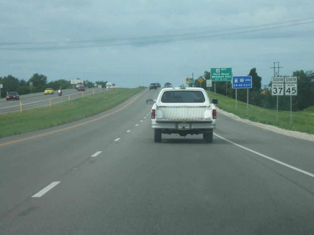
SR 45 is seen signed with SR 37 along the west side bypass. Through Bloomington, SR 45 gets little love as the highway it follows on the west side is usually just referred to as State Road 37 and on the north side as State Road 46 or more commonly, the Bypass. Only when the road is by itself is it called State Road 45. In the background, a services signs refers to the coming exit as the SR 48 Exit.
07/19/09

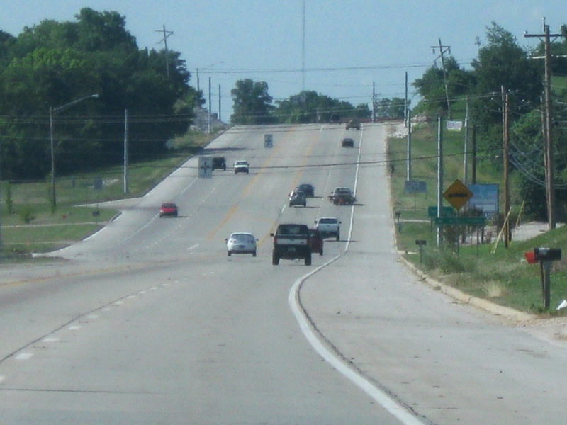
A distance sign announces the distances to the next control city of Bedford (25 miles) and Mitchell (32 miles). Mitchell, also located in Lawrence County is the spot where SR 37 reverts to a two lane road.
07/19/09
Very briefly, a third lane appears as a slip ramp into the Whitehall Crossing Shopping Center, likewise a small off ramp appears from the shopping center back onto SR 37 southbound. Both ramps serve the growing shopping center on the west side of Bloomington. Despite any efforts to prevent it, strip malls and fast food restaurants have populated the area surrounding the interchange of SR 37 and SR 48. The exit ramp from the shopping center becomes an auxiliary ramp up to the exit ramp for SR 48 itself. The survival of these two ramps following the conversion of SR 37 into Interstate 69 seems unlikely. Travelers to both the Ivy Tech Community College and the Monroe County Airport are advised to exit at SR 48.
07/19/09
Another sign announcing the junction with SR 48 (Third Street/Whitehall Pike). The road of Third Street and Whitehall Pike were recently widened to four lanes from between Adams Street, about a mile east of SR 37 to Hartstrait Road about three miles west of the highway. This makes this corridor a heavily traveled route on the west side of Bloomington.
07/19/09
A diamond interchange represents the junction between SR 37 and SR 48 (Third Street/Whitehall Pike). There is no guide sign present for the actual exit so traffic just has the exit gore sign to go by. This interchange represents the highest concentration of motorists' services along SR 37 between Martinsville and Bedford, as well as the most direct connection into downtown Bloomington.
07/19/09
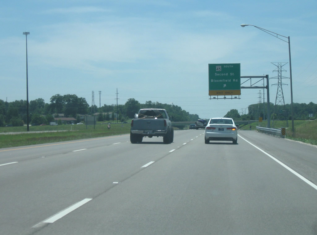
Now south of the SR 48 (Third Street/Whitehall Pike) interchange, the acceleration ramp from the interchange becomes a third auxiliary lane approaching the next interchange for SR 45 West (Second Street/Bloomfield Road).
06/27/09
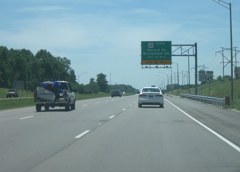
Now approaching the SR 45 West (Second Street/Bloomfield Road) interchange. Unlike the previous exit, Second Street does not begin at SR 37 but rather a mile to the east, where the road begins to turn from a northeasterly direction to the east, and thus becoming Second Street in the Bloomington street grid. Therefore, the road is simply Bloomfield Road on both sides of this exit. Also note the state highway shield markers, which contain a rounded square for the state highway marker, similar to that of Illinois. Signs with these markers are common around the SR 37 exits with SR 48 and SR 45.
06/27/09
At this point, SR 45 exits off of SR 37 via a folded diamond interchange to continue its journey toward the southwest. SR 45 is a well-traveled two lane road southwest of Bloomington, providing access for commuters in adjacent Greene County and the county seat of Bloomfield (via SR 54). The road also is the most direct route between Bloomington and the Crane Naval Warfare Center. The third section of the Interstate 69 construction in southwest Indiana is slated to end at an interchange with U.S. 231 around there, with a direct connection to SR 45. This means while Section Four of the new interstate is being built, SR 45 between this point and the finished Interstate 69 will be the only two lane link.
06/27/09
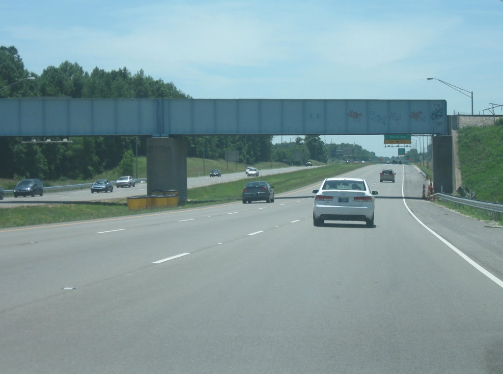
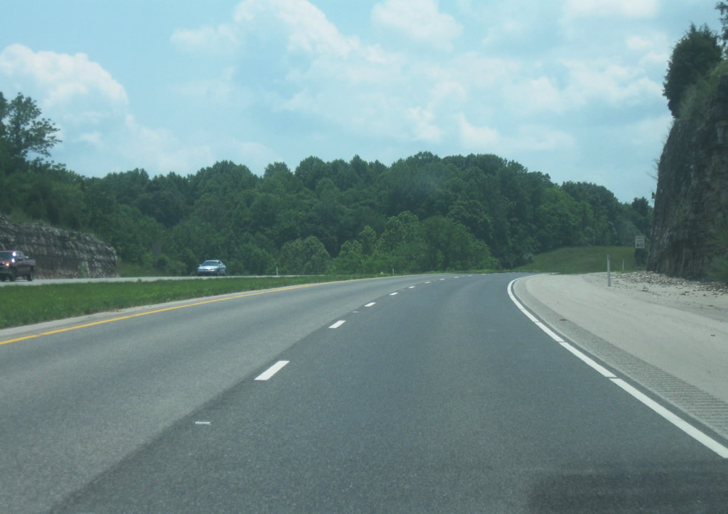
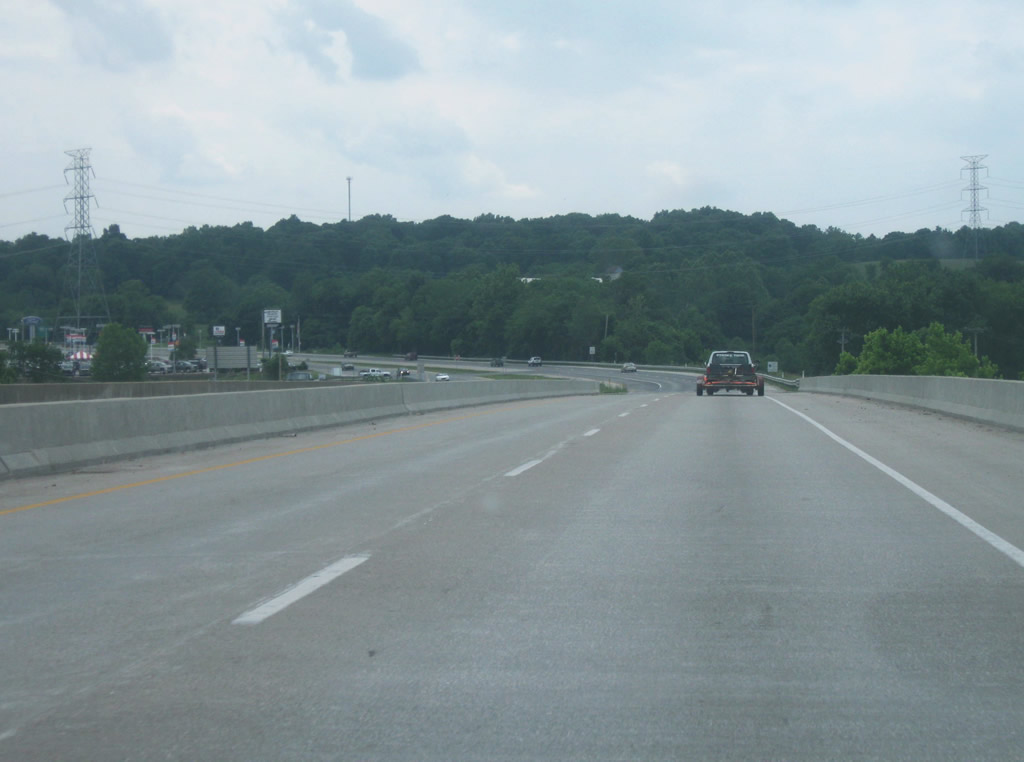
SR 37 south of the SR 45 interchange is a rural four lane expressway with at-grade intersections with Tapp Road and Fullerton Pike preceding Interstate 69 south of the Rockport Road overpass. This stretch is being upgraded to I-69 as part of Section 5.
07/19/09
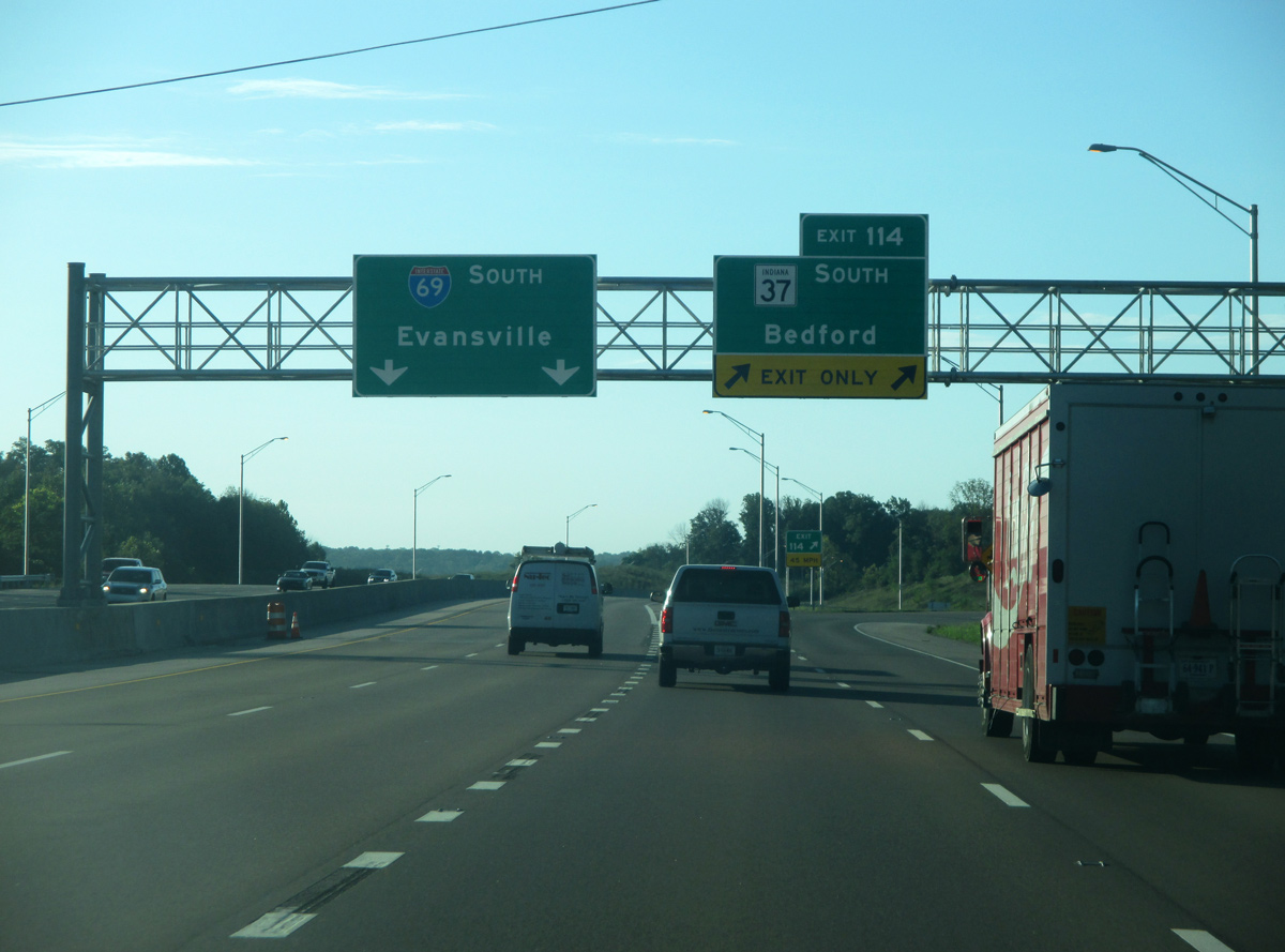
Prior to the extension around Bloomington, I-69 began from SR 37.
01/02/16
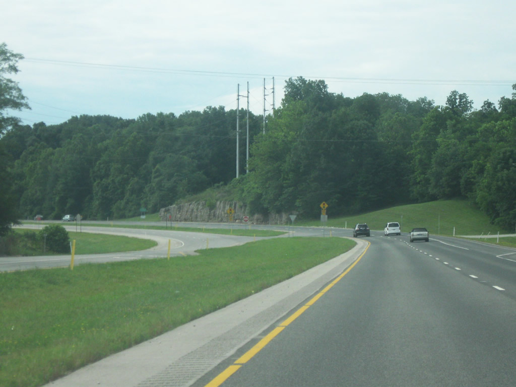
Old State Road 37 shifts sides with four lane SR 37 from Clear Creek to the east to Harrodsburg to the west. A signalized intersection joins the two roadways.
07/19/09
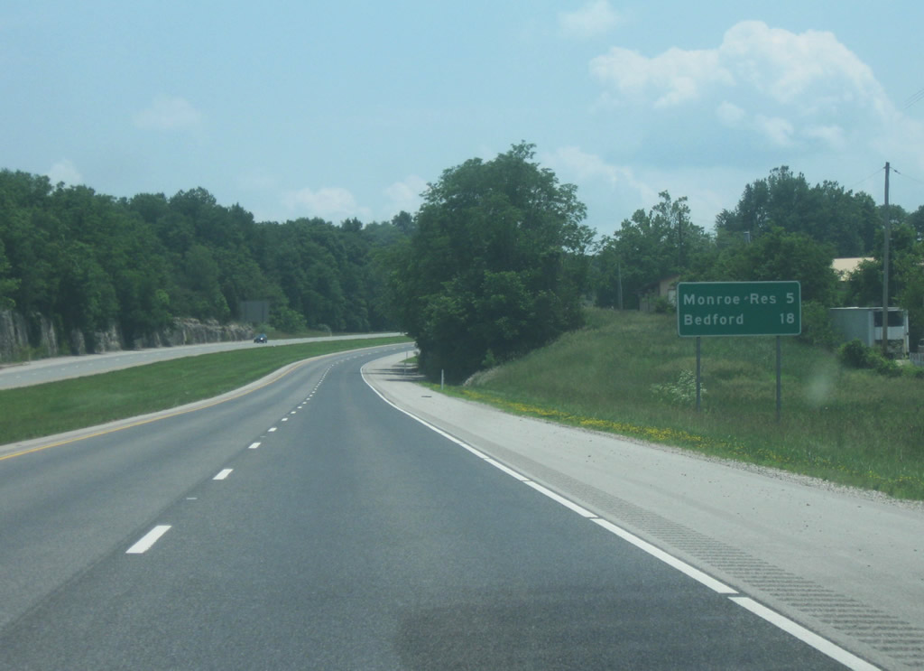
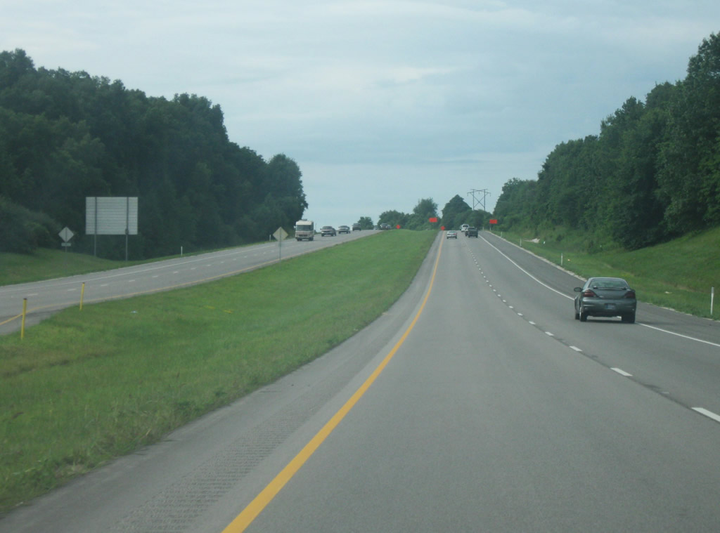
Now south of the intersection with Walnut Street (Business SR 37) the next distance sign announces the distance to the next interchange, located near Monroe Reservoir (5 miles) as well as to Bedford (18 miles). To the west of the highway, Old State Road 37 follows the new highway on a relatively straight path toward the south.
06/13/09
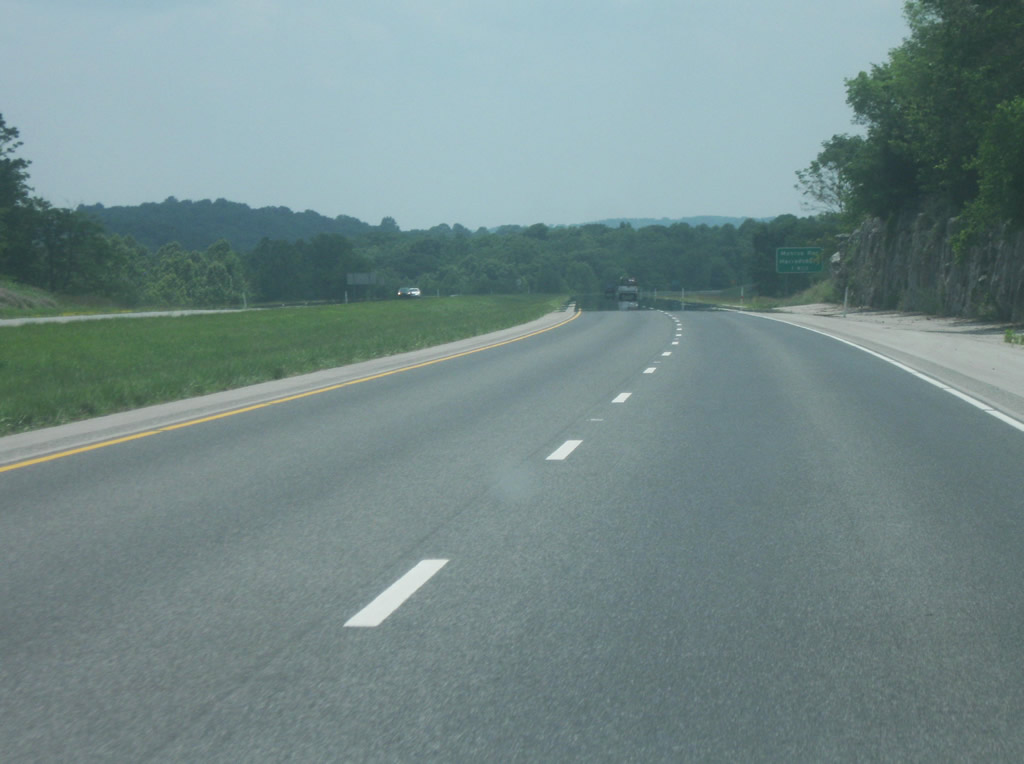
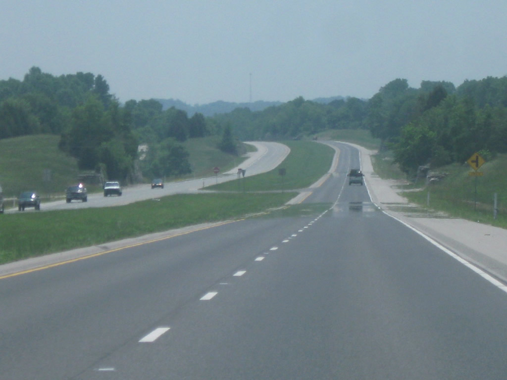
SR 37 heads due south of the Bloomington on its way toward the Lawrence County line. This stretch of the highway is rather pleasant, with most of the Indianapolis-outbound traffic gone, the highway rolls up and down the hills of southern Monroe County as it provides a commuter link between Bloomington and Bedford. Limestone rock cuts are very evident along this stretch of highway as it enters the Stone Belt, the prime region for Indiana Limestone. East of this stretch of highway lies Monroe Reservoir; at 10,750 acres is the largest lake in Indiana. The reservoir, formed by the damming of Salt Creek further south winds its way through the wooded Monroe County hills, providing a dramatic natural setting for boaters who visit the area.
06/13/09
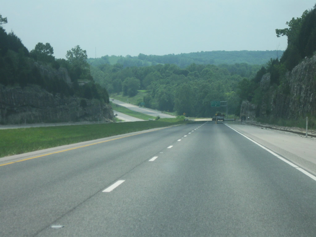
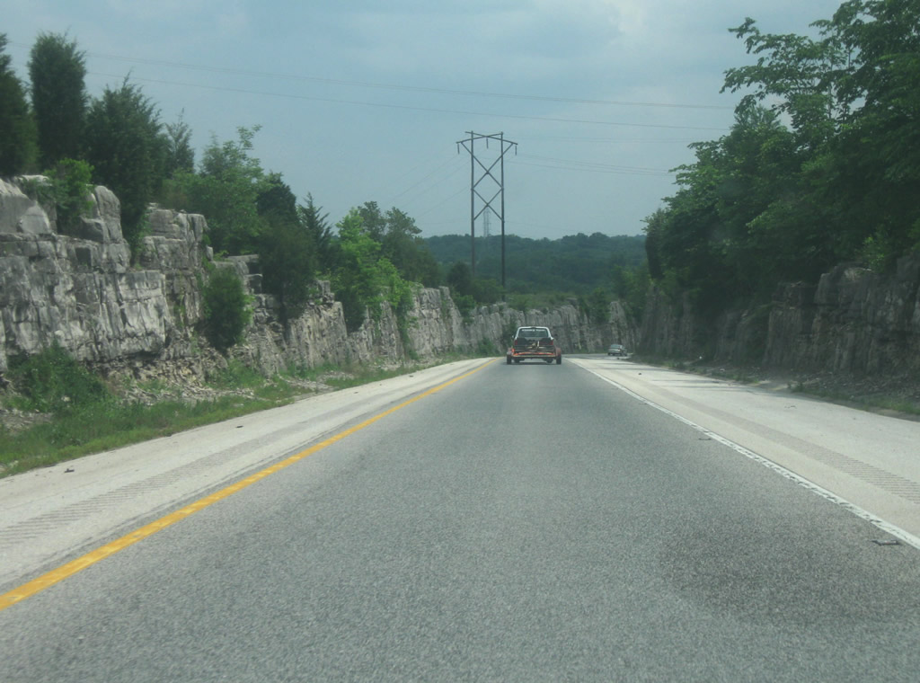
More limestone cuts abut SR 37 as it approaches the next interchange for Harrodsburg and Monroe Reservoir. This interchange is best for accessing the Monroe Reservoir dam and spillway and the Fairfax State Recreation Area. To the west of the interchange, the small community of Harrodsburg can be accessed via the Old SR 37.
06/13/09
SR 37 begins its descend into the Salt Creek valley as large limestone walls abut the highway on both sides.
06/13/09
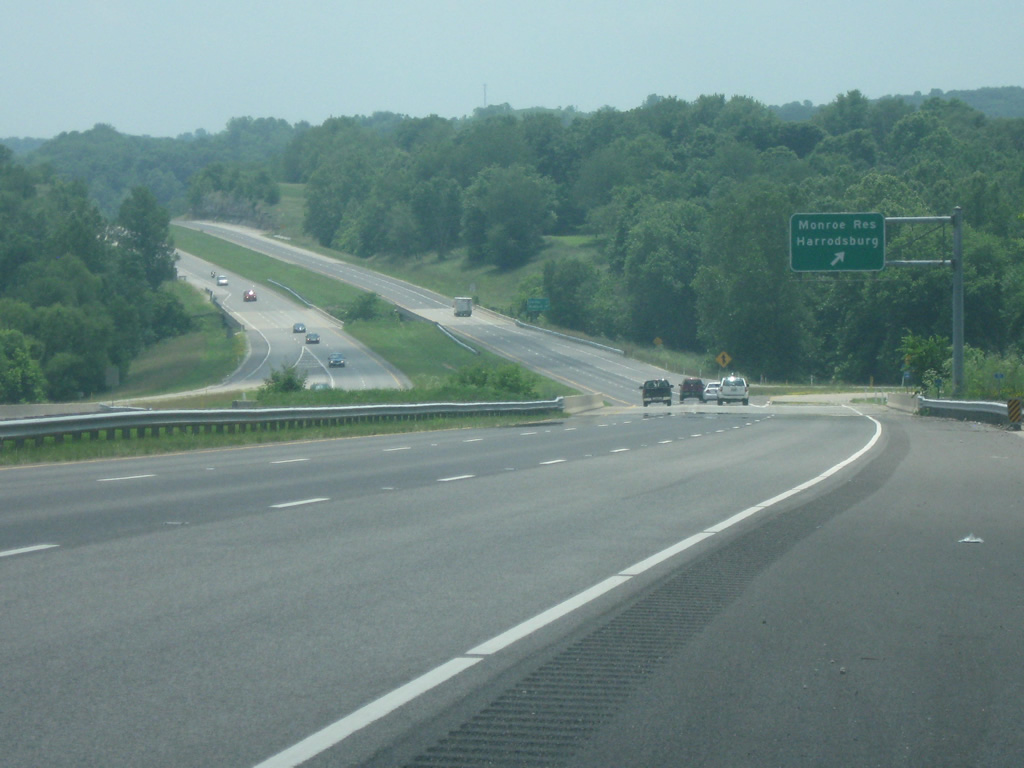
Finally at the Monroe Reservoir/Harrodsburg interchange. The interchange leads to Monroe Lake Road, which as the name suggests, goes toward the Monroe Reservoir dam before continuing on to the east around the lake toward the Hoosier National Forest. To the west, the road quickly becomes a small interchange with Old State Road 37 just north of the town of Harrodsburg.
06/13/09

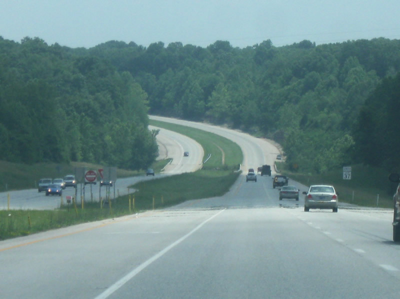
Now past the Monroe Reservoir/Harrodsburg interchange, the distances to the next two communities, both in Lawrence County: Oolitic (9 miles) and Bedford (13 miles) are listed.
06/13/09
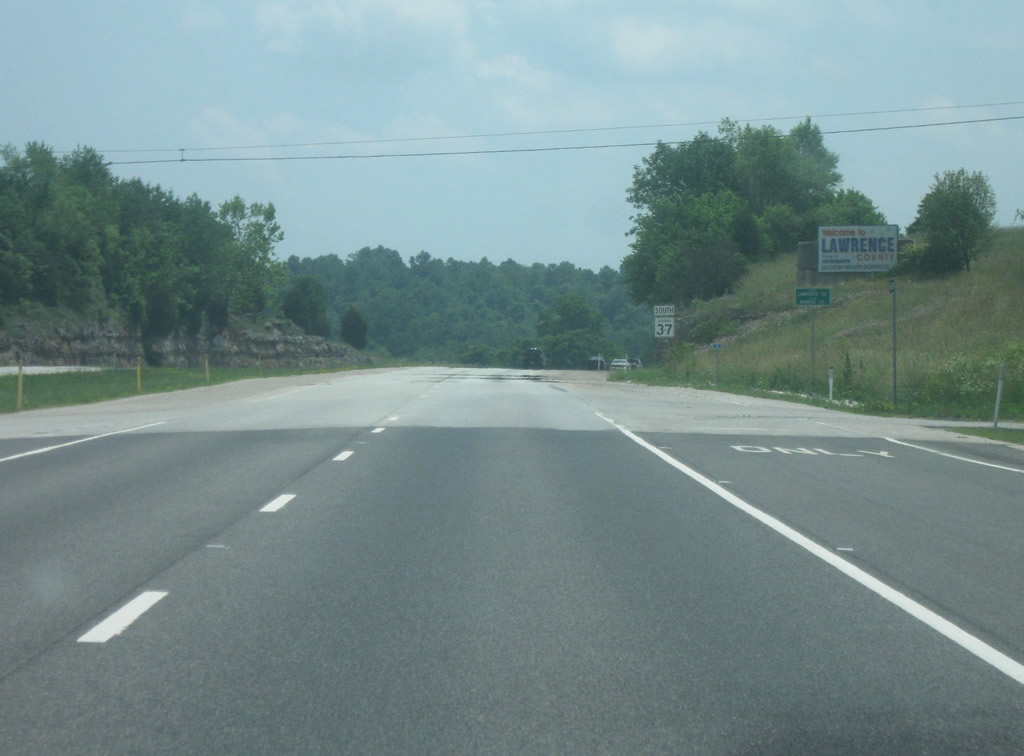
A mile south of the last interchange, the county line with Lawrence County appears. Lawrence County (population 46,134) is known as the heart of Indiana Limestone country, with several quarries located throughout. It is also known as the home of Virgil "Gus" Grissom, Charles Walker, and Kenneth Bowersox, thus the "Home of Astronauts" on the gateway sign into the county.
06/13/09
SR 37 continues to wind its way through northern Lawrence County.
06/13/09
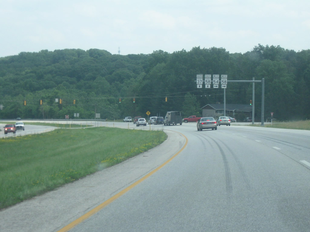
Up ahead is the junction with SR 54 and SR 58 West. SR 54 is a 65 mile route that goes west from SR 37 into Greene County, linking Bedford with Bloomfield, Linton, and Sullivan as it ends at U.S. 41. SR 58 is a 122 mile road that begins at the Wabash River town of Merom and ends at Interstate 65 outside of Columbus. At this intersection, SR 58 continues south along with SR 37.
06/13/09
SR 37 and SR 58 multiplex for about three miles as the highway approaches the town of Oolitic, just north of Bedford.
06/13/09
Up ahead is the Main Street/Patton Hill Road intersection, providing a quick link into the community of Oolitic (population 1,184). Originally named Limestone, Oolitic is home of some of the largest limestone quarries in the world, located just east of this intersection. Among the most famous projects using Indiana Limestone include the Empire State Building and the Pentagon. Main Street through Oolitic is also the older State Road 37, which went through Oolitic before going through Bedford. Now SR 37 bypasses both communities to the west.
06/13/09
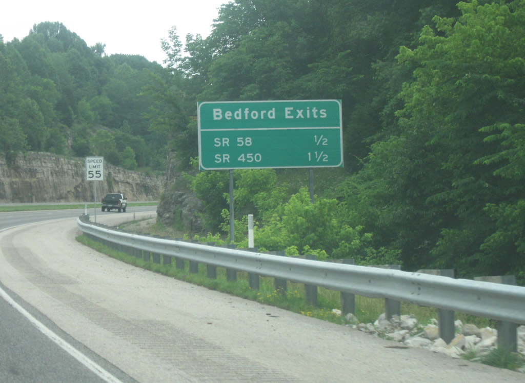
South of the Main Street/Patton Hill Road intersection, an upcoming sign for the Bedford "exits." Contrary to the sign, these are both at-grade intersections and not interchanges. The only actual interchange is south of Bedford where the Old U.S. 50 meets SR 37. Bedford (population 13,413) is the county seat for Lawrence County.
06/13/09
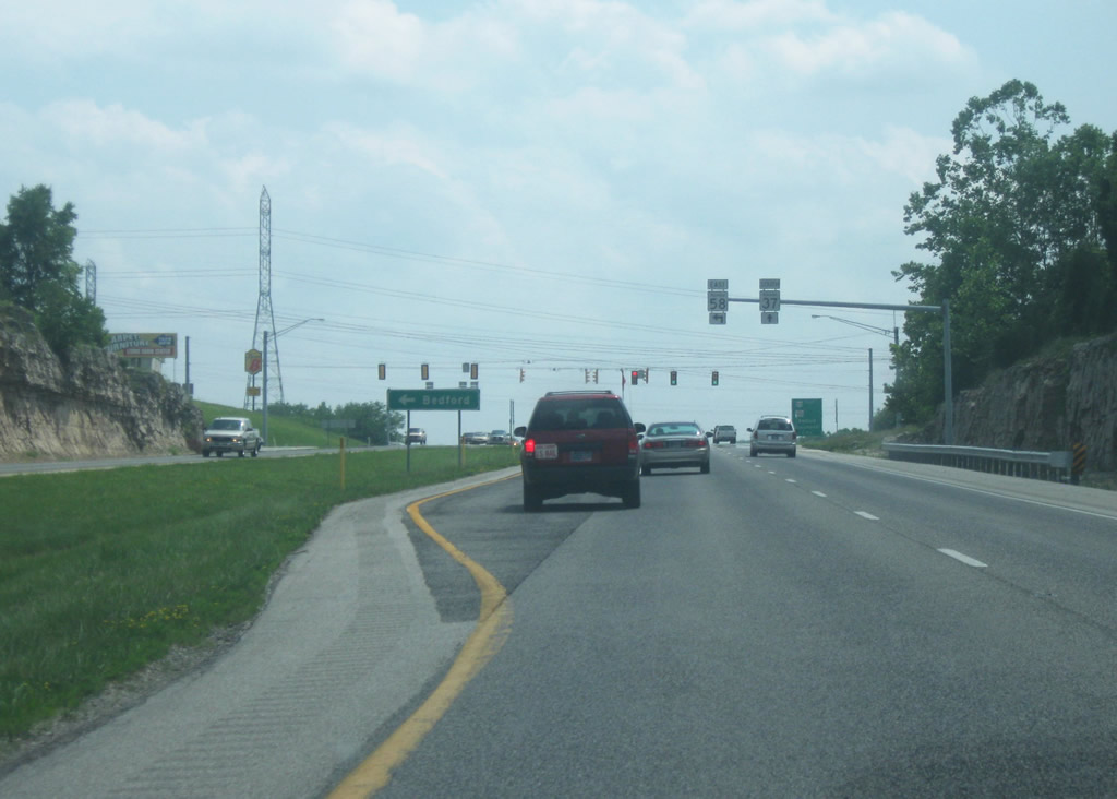
The first intersection for Bedford appears. This is where SR 58 heads east from SR 37. SR 58 is known as 5th Street as it heads across the north side of Bedford. East of Bedford, the highway winds through the heart of the Hoosier National Forest as it does not touch another town of significant size before its interchange with Interstate 65.
06/13/09
Now along the west side of Bedford, SR 37 remains an expressway with most of the retail for the community abutting the highway along the east side. Up ahead is the intersection with John A. Williams Boulevard, a newly created four lane road that links SR 37 with Lincoln Avenue (Old SR 37) in the heart of Bedford. This provides an alternative way into Downtown Bedford from SR 37.
06/13/09
Past John A. Williams Boulevard, the next intersection is the most important for Bedford, with both SR 450 and U.S. 50 East. More restaurants and shops line James Avenue, just east of SR 37. Since there are no driveways off of SR 37, James Avenue, along with Constitution Avenue to the north provide access to most of the retail near the highway.
06/13/09
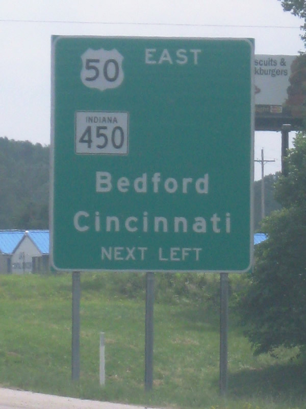
Locally, U.S. 50/SR 450 is known as 16th Street through Bedford. The sign lists Bedford and Cincinnati, Ohio as control cities. Cincinnati is 126 miles from Bedford and indeed U.S. 50, a winding, two lane highway through southern Indiana, is the quickest way between the two cities. U.S. 50 also goes through Brownstown, Seymour, North Vernon, Versailles, and Lawrenceburg en route to Cincinnati.
06/13/09
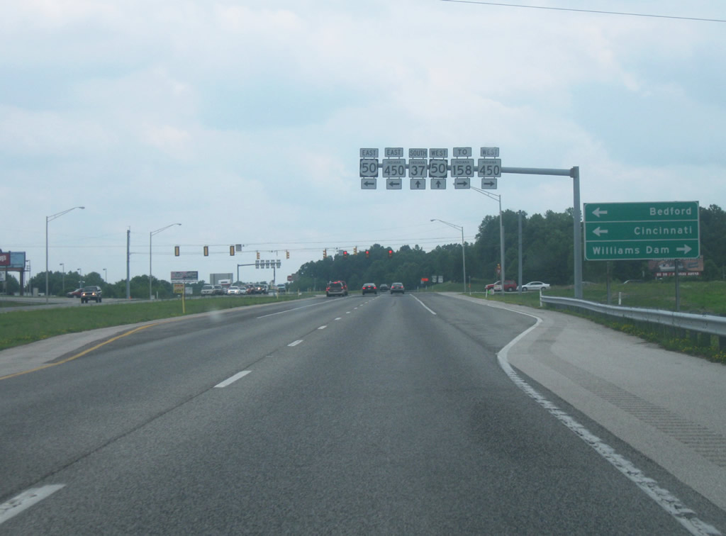
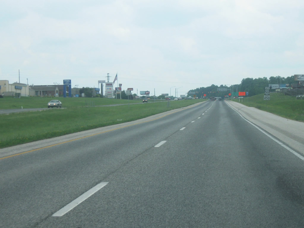
The U.S. 50 East/SR 450 intersection. SR 450 is a far more minor route, connecting Bedford with Shoals via a 27 mile, windy highway that ends at U.S. 50 in Shoals as it does in Bedford. U.S. 50 was originally routed from the southwest of Bedford toward the downtown before heading east of town and SR 450 was routed along 16th Street to meet with U.S. 50. This explains why SR 450 is still routed alongside U.S. 50 for the first couple of miles from SR 37 to the downtown. The sign indicates that Williams Dam is to the west along SR 450, but in addition, the town of Williams is also along the way.
06/13/09
 West
West 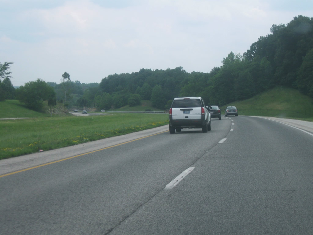
South of the U.S. 50 East/SR 450 intersection, SR 37 now carries U.S. 50 West as they multiplex for the next few miles. U.S. 50 is a 172 mile two lane windy road across southern Indiana. Because it is located in between interstates (70 and 64) it remains a major highway across the area. There are a few intersections along this stretch as the highway links up with the south side of Bedford, but only 29th Street has a stoplight with it.
06/13/09
SR 37 at the intersection with 35th Street on the southwest side of Bedford. There are still a few businesses along this stretch of highway, but the highway remains free-flowing.
06/13/09
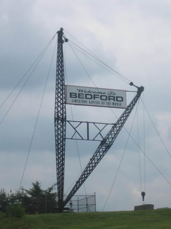
This unique crane structure welcomes travelers on both sides of SR 37 to Bedford and proclaims it as the "Limestone Capital of the World." The crane can be seen getting ready to lift up a piece of Indiana Limestone.
06/13/09
SR 37/U.S. 50 West go down to one lane as it descends into the valley of the East Fork of the White River. The highway prepares to meet with the Mitchell Road (Old U.S. 50) corridor out of Bedford. Mitchell Road provides a direct link from the southwest into downtown Bedford. The directional interchange between Mitchell Road and SR 37/U.S. 50 is built into the limestone bedrock of the hill that the highway descends as it approaches the river.
06/13/09

SR 37/U.S. 50 West crosses the East Fork of the White River via the George C. Hawkins Memorial Bridge. At this point, the highway is following the routing of U.S. 50 rather than SR 37. The piers of the older bridge structure that carried U.S. 50 can be viewed to the north while crossing the river, easily the largest river that SR 37 crosses along its route.
06/13/09
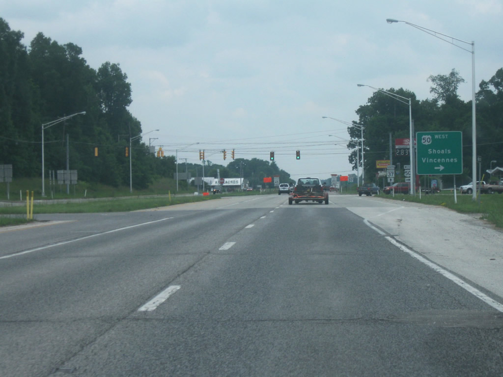
Now on the other side of the East Fork of the White River, U.S. 50 breaks off toward the west as SR 37 continues south. A guide sign announces the control cities of Shoals and Vincennes. Shoals, the county seat of adjacent Martin County, is located about 22 miles from this junction, while Vincennes, located on the Wabash River, is about 70 miles away.
06/13/09
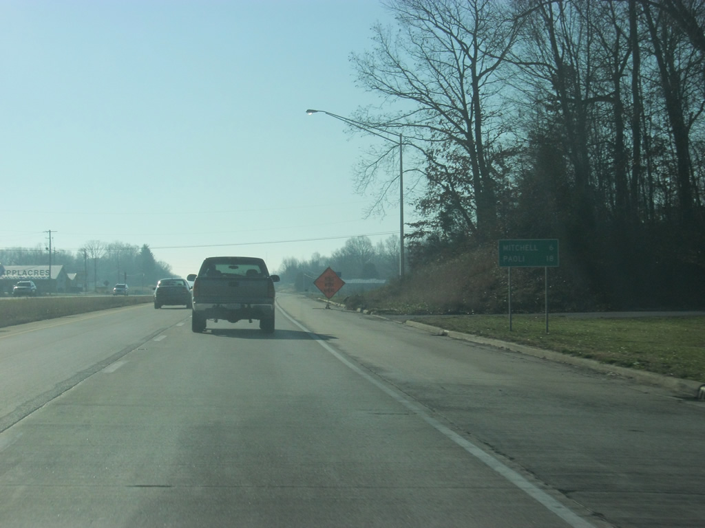
South of the U.S. 50 West intersection, Mitchell is now six miles away and the county seat of Orange County, Paoli is 18 miles away.
12/18/11
SR 37 south of the U.S. 50 West junction remains a divided four lane highway for a few miles as it approaches the next community of Mitchell. The terrain is similar to that of the rest of the county.
07/03/09
Just outside of Mitchell, SR 37 becomes an undivided four lane highway with a center turn lane.
07/03/09
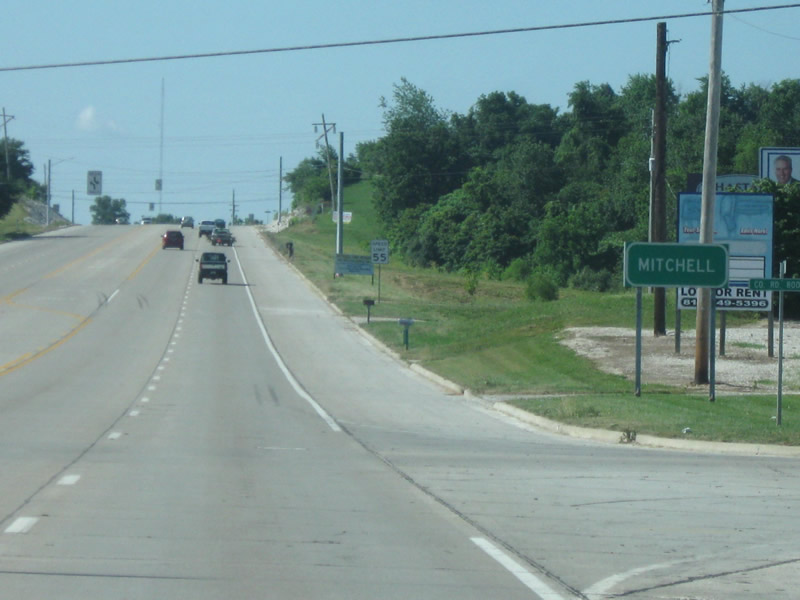
SR 37 enters the town of Mitchell (population 4,567). Mitchell is best known as the birthplace of astronaut Gus Grissom and of the nearby Spring Mill State Park.
07/03/09
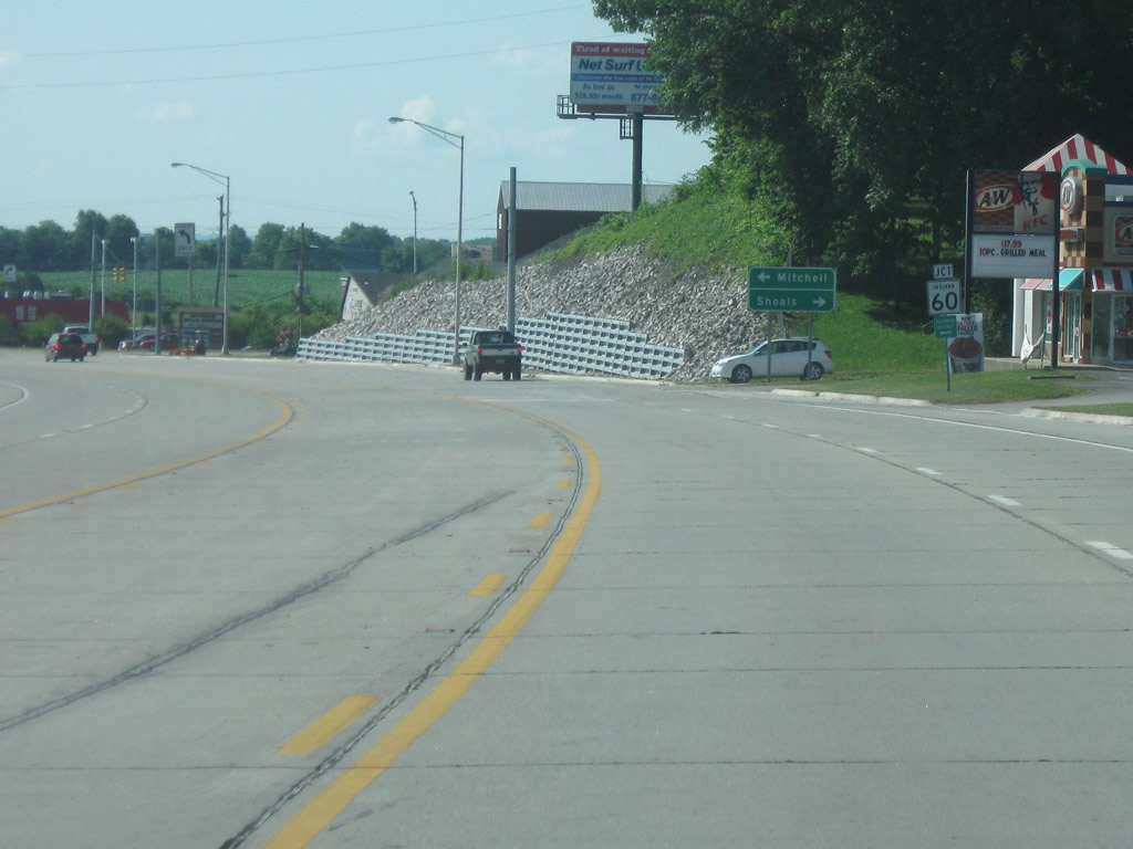
SR 37 approaches the intersection of SR 60, which is a 62 mile highway from Huron in adjacent Martin County across Lawrence County, through Mitchell and then southeast toward Salem in Orange County before ending at Interstate 65 in Sellersburg north of Louisville, Kentucky. SR 60 actually follows SR 37 for a brief multiplex around the west side of town before continuing off to the east. It is around this point that SR 37 finally goes down to two lanes.
07/03/09
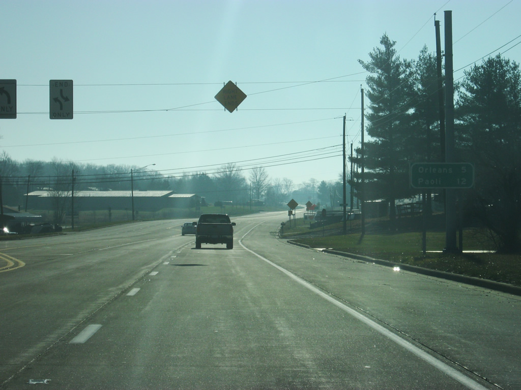
The right lane ends south of the SR 60 East intersection as SR 37 leaves Mitchell and becomes a two lane highway. Orleans, located in northern Orange County, is five miles away. Paoli, where SR 37 meets U.S. 150, is 12 miles away.
12/18/11
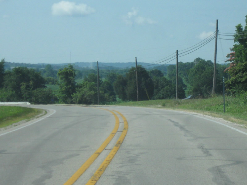
SR 37 south of Mitchell is a windy two lane road that finishes the remaining 70 miles that takes the highway south through Paoli, English, and finally Tell City along the Ohio River.
07/03/09
Photo Credits:
- Thomas Decker: 05/31/09, 06/13/09, 06/27/09, 07/03/09, 07/19/09, 11/13/11, 12/18/11, 01/02/16
Page Updated Wednesday January 06, 2016.