
State Road 46 East - Monroe County

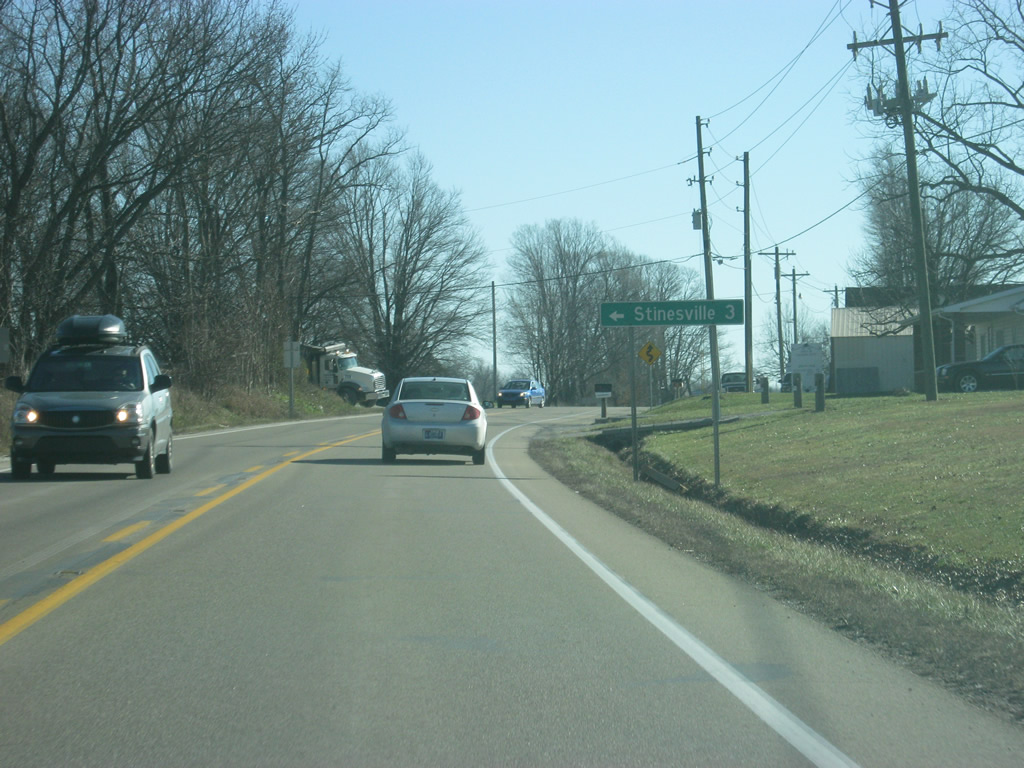
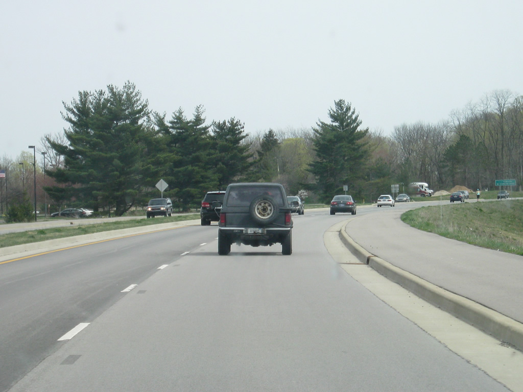
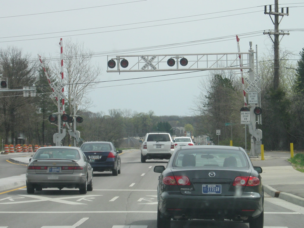
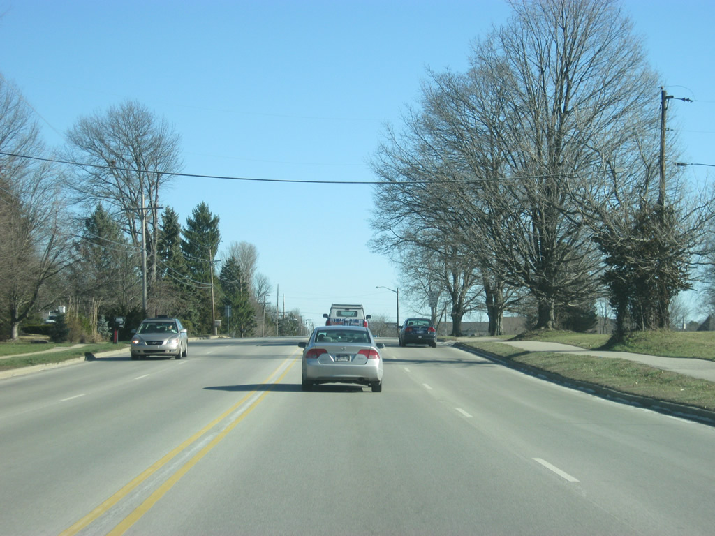
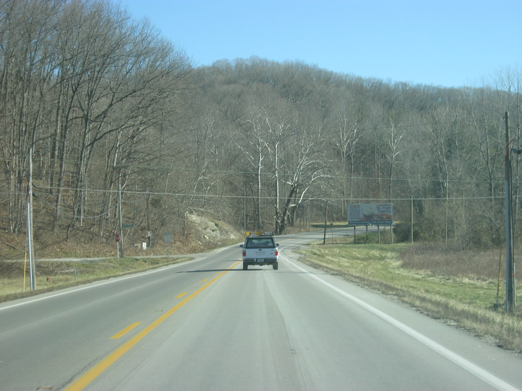
Coming up to the intersection with Stinesville Road and SR 46. As the name suggests, Stinesville Road leads to the community of Stinesville three miles to the north.
12/29/11
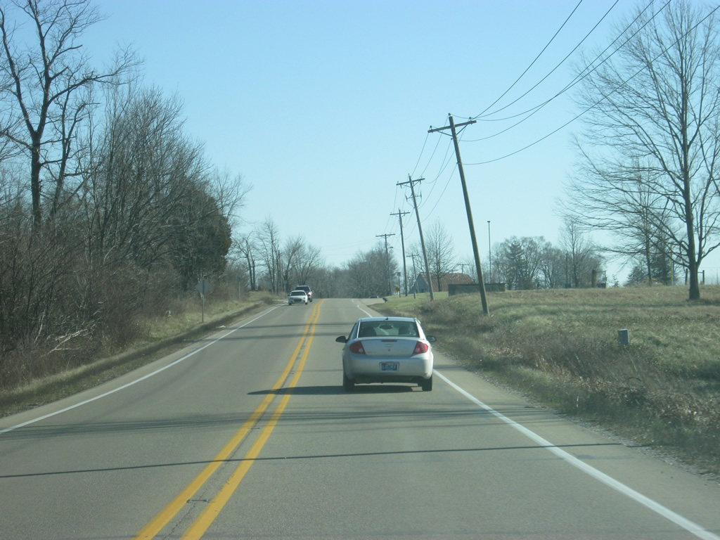
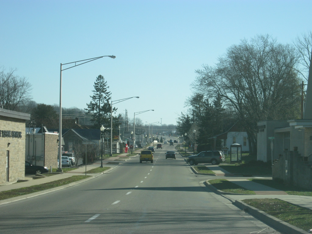
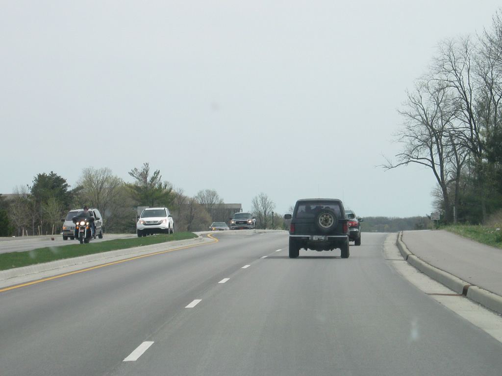
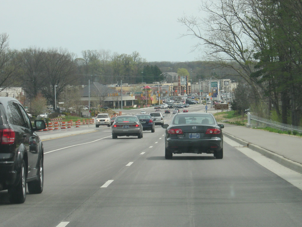
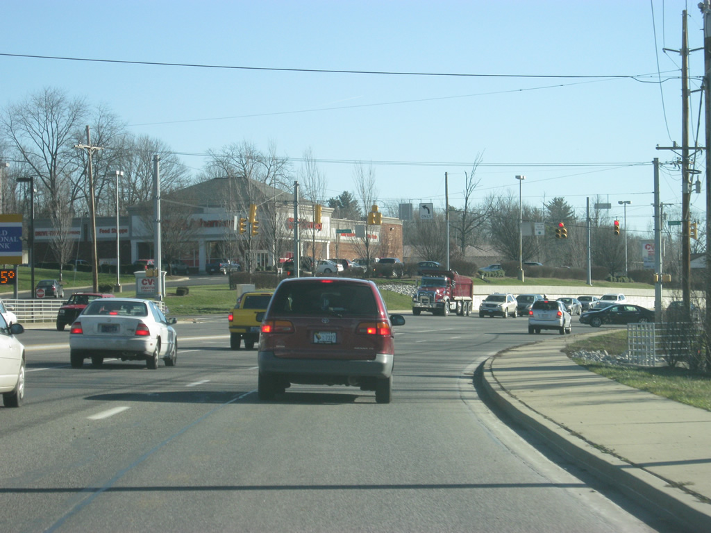
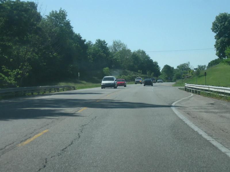
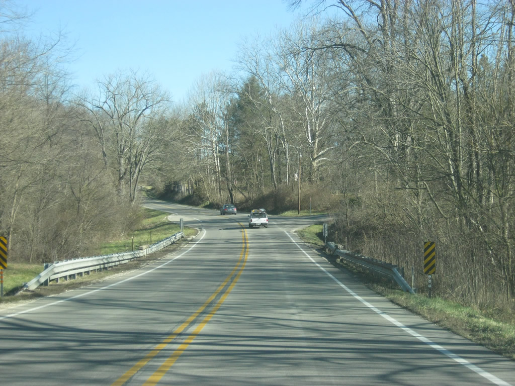
Views of SR 46 as it approaches the town of Ellettsville. The stretch of SR 46 between Ellettsville and Spencer can be busy and there are long-term plans for the highway to be widened to four lanes.
12/29/11
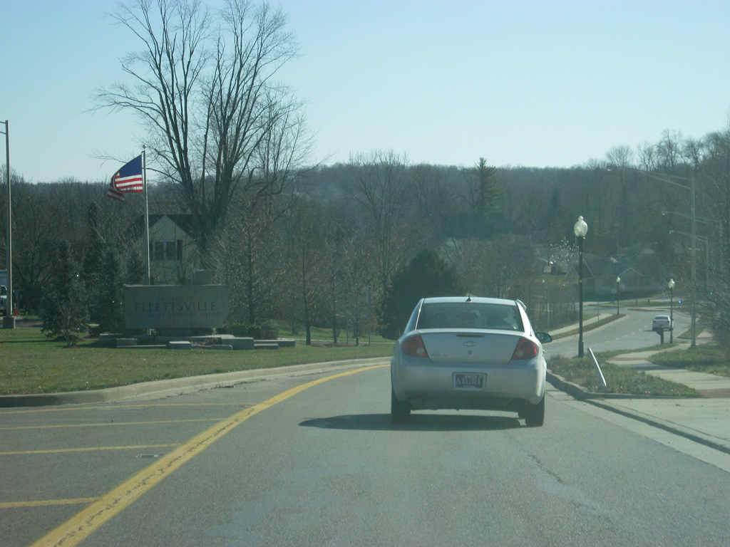
SR 46 enters the town of Ellettsville (population 5,078). Within the heart of Ellettsville, SR 46 is split into a couplet of one way streets. Originally, SR 46 was routed solely along Temperance Street . When SR 46 was widened to four lanes from Ellettsville to Bloomington, the eastbound lanes were directed to Temperance Street while the westbound lanes followed a new alignment along Main Street to the north.
12/29/11
Eastbound SR 46 along Temperance Street at Sale Street, which leads into the Business District for Ellettsville.
12/29/11
Two lanes of SR 46 (Temperance Street) continue east by 3rd Street through central Ellettsville.
12/29/11
Now approaching the end of the one way couplet with eastbound and westbound SR 46. Traffic wanting to follow the westbound lanes of SR 46 along Main Street is advised to take a left up ahead.
12/29/11
SR 46 (Temperance Street) leaves central Ellettsville as the westbound lanes rejoin the main highway. A U-turn lane directs traffic onto the westbound lanes of Main Street back into Ellettsville.
12/29/11

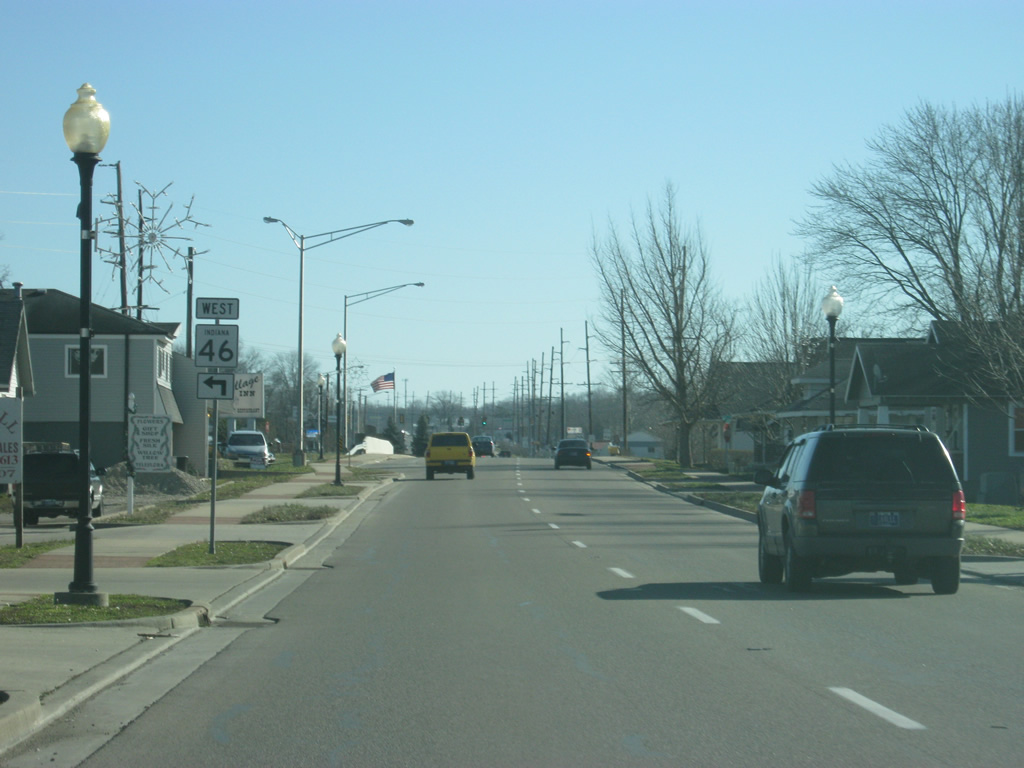
SR 46 leaves Temperance Street and the one way couplet through Ellettsville behind and continues through the suburbanized portion of the community. Ellettsville has become the primary suburb for Bloomington and as a result the town has grown to the southeast toward Bloomington along the state road.
12/29/11
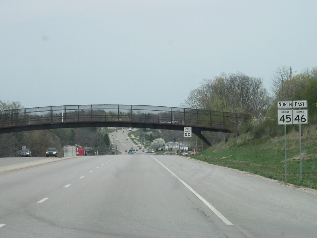
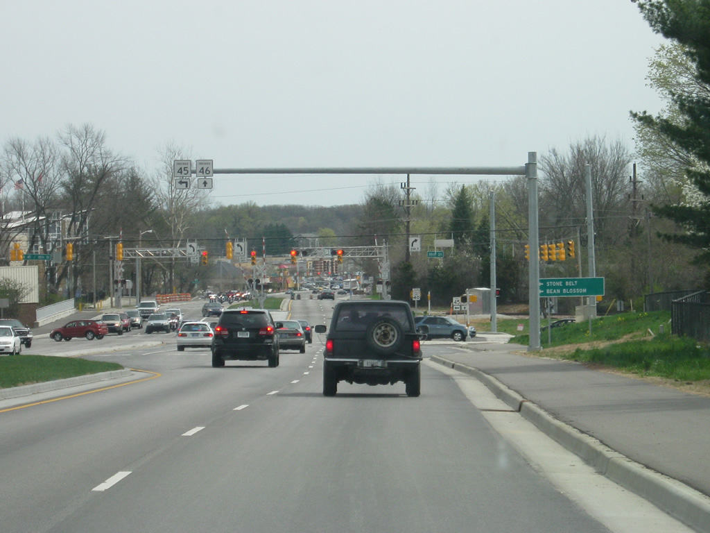
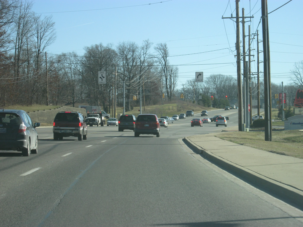
Outside of Ellettsville, SR 46 becomes a four lane expressway and approaches SR 37. Originally, the state highway was routed along Arlington Road, to the east of the new expressway. Arlington Road continued into Bloomington whereas SR 46 was directed onto a slip ramp onto SR 37 (future Interstate 69). SR 46 eastbound traffic then had to follow SR 37 to the south to a stoplight interchange where it would continue east along the current Bloomington bypass. Today, all movements between SR 46 and SR 37 have been directed to a new six-ramp parclo interchange, completed in 2002.
08/02/09
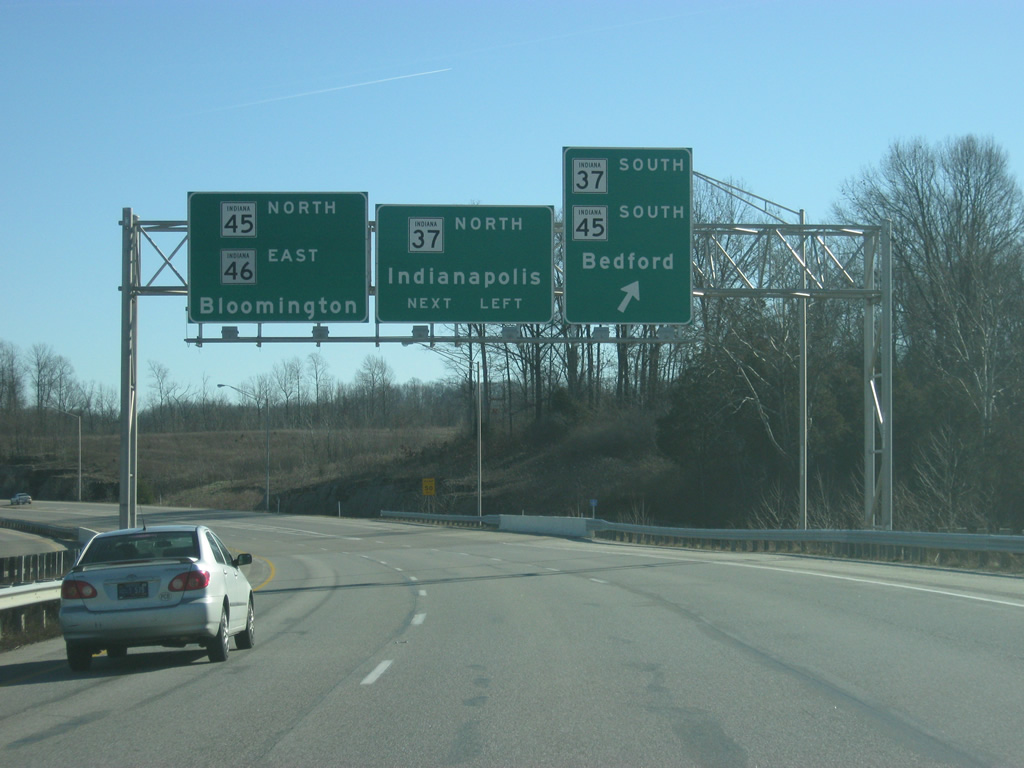
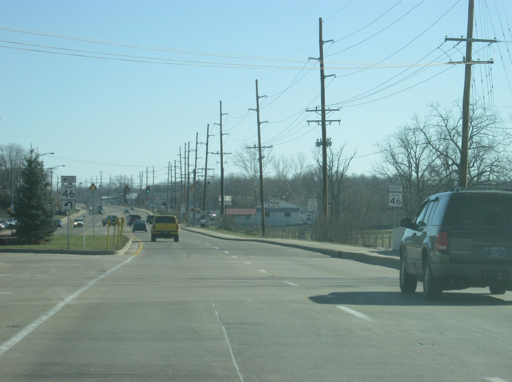
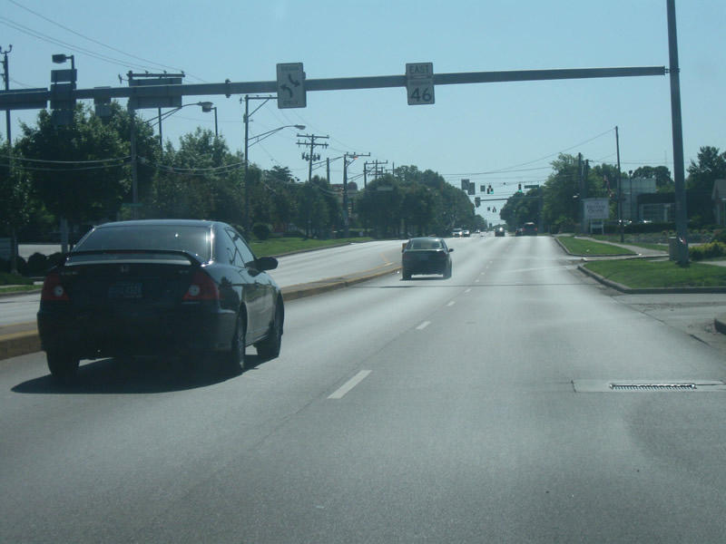
SR 46 east meets the SR 37 (future Interstate 69) expressway that bypasses Bloomington to the west. SR 37 goes for 236 miles in two segments; the first is a small segment northeast of Fort Wayne. The second totals 216 miles from Marion to the southwest past Noblesville, Indianapolis, Martinsville, Bloomington, Bedford, Paoli, English and Tell City. A long ramp takes traffic from eastbound SR 46 to southbound SR 37 toward Bedford.
12/29/11
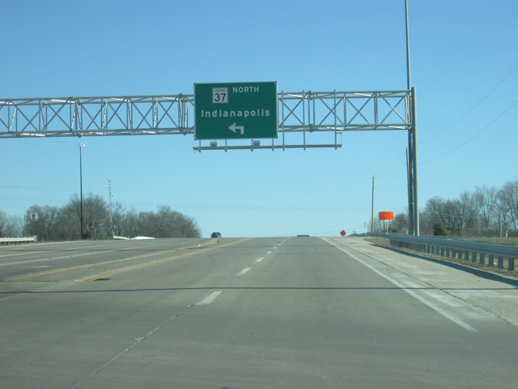
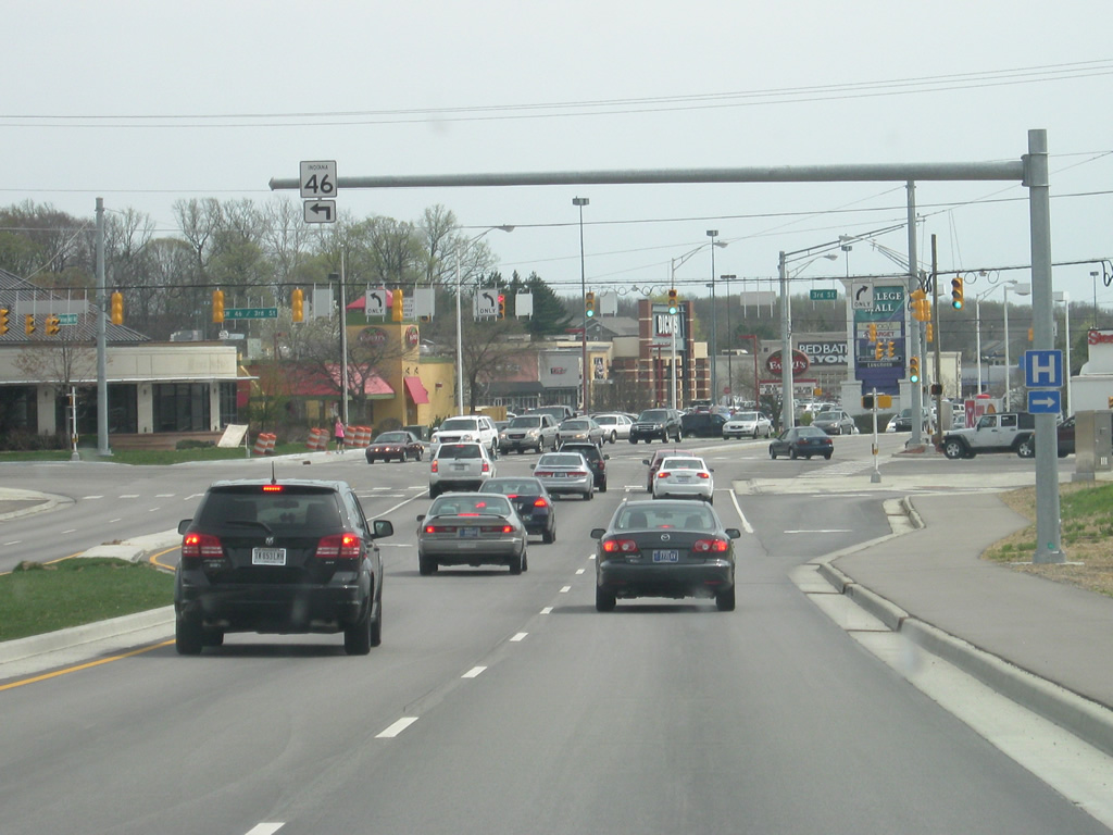
As SR 46 crosses SR 37, a guide sign directs traffic heading north toward Martinsville and Indianapolis. The stretch of SR 37 between Bloomington and Indianapolis represents a heavily traveled highway that in the future is slated to become part of the new Interstate 69. Interstate 69 is currently a freeway from Evansville to Crane with an extension to Bloomington under construction. From Bloomington, the new intestate will follow SR 37's route to Martinsville and Indianapolis.
12/29/11

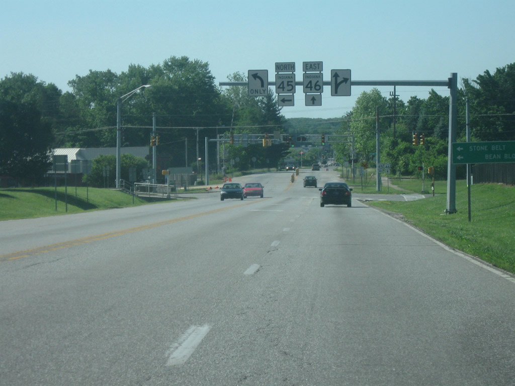
Traffic bound for SR 37 (future Interstate 69) north to Indianapolis dea parts to the left of SR 46 east. To the south, an entrance ramp from SR 37 north carries traffic from SR 45 onto the bypass around the north side of Bloomington. SR 45 goes for 55 miles from U.S. 231 near Crane to SR 135 in Beanblossom. SR 45 will follow SR 46 around Bloomington for 3.1 miles. The bridge up ahead carries Arlington Road (Old SR 46).
12/29/11
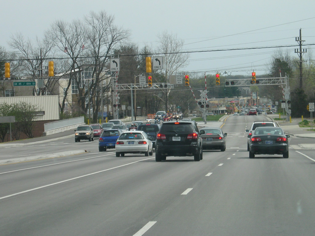
Reassurance shields for both SR 46 and SR 45 appear along the bypass to the east of the SR 37 interchange. In town, the highway is usually referred to as either the 45/46 Bypass or simply the Bypass.
04/14/13
Upon passing the SR 37 interchange, SR 46 enters the city of Bloomington (population 80,405). Bloomington is famous for the location of Indiana University and the athletic teams associated with them, the IU Hoosiers. The town is also best known for its appearance in the movie Breaking Away which features the Little 500 Bicycle Race. The bicycle culture is well known in the Bloomington area and the city itself is an oddball compared to most Hoosier cities. The politics of Bloomington are decidedly Democratic and progressive, which has helped to create an atmosphere that is hostile to the future Interstate 69.
04/14/13
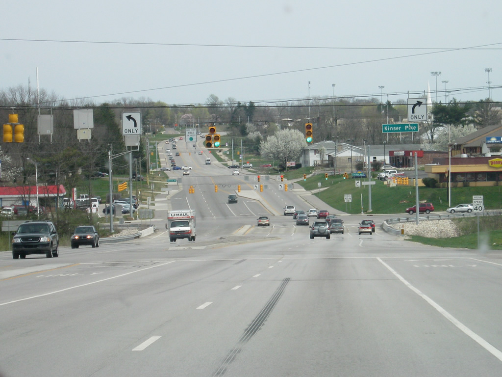
The first signalized intersection along the SR 45 & 46 Bypass is with Kinser Pike, which leads north toward Cascades Park and Bloomington High School North.
04/14/13
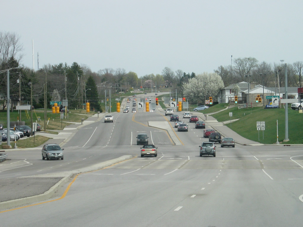
Now coming up to the intersection with Walnut Street (Old SR 37). Until 2011, the segment of the SR 45 & 46 Bypass from Walnut Street to 3rd Street on the east side consisted of a two lane highway. As of the end of 2012, the bypass is a four lane highway for that stretch. The intersection with the Bypass and Walnut Street was recently rebuilt to hold two left-turn lanes in each direction.
04/14/13
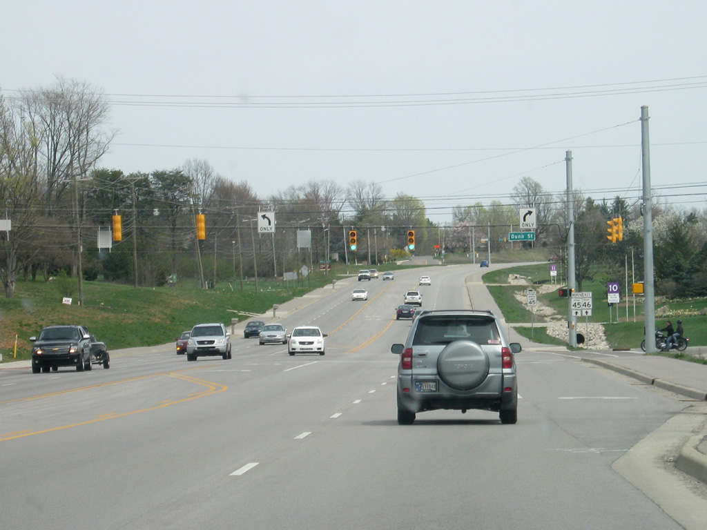
East of the Walnut Street/College Avenue intersection, SR 45 & 46 intersect with Dunn Street. To the north Dunn Street treks toward the Griffy Lake Nature Preserve and to the south to Indiana University's Memorial Stadium and Assembly Hall, home to IU's football and basketball teams respectively. The second picture shows the same intersection pre-2012 construction.
04/14/13
05/31/09
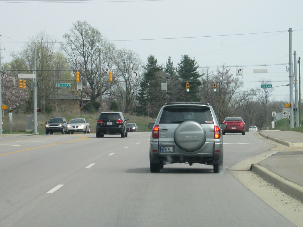
The next stoplight along SR 45 & 46 is with Fee Lane and Matlock Road. The former runs south to 10th Street and serves mostly residential neighborhoods near Indiana University. Matlock Road runs east toward the Griffy Lake area.
04/14/13
Heading east from Fee Lane/Matlock Road, SR 45 & 46 follows a four lane boulevard bypass around the Indiana University campus, with its final stage opening in late 2012. The expanded bypass replaced a two lane highway that was often congested with university traffic at peak times. The second picture shows the former bypass in roughly the same location as it was in 2009.
04/14/13
05/31/09

The expanded bypass project included this new stoplight intersection with 17th Street, which runs back to the west across the northern part of the Indiana University campus. The second picture shows the original intersection with 17th Street in 2009.
04/14/13
05/31/09
SR 45 & 46 passes by the Indiana University Golf Course along the expanded bypass. Pedestrian/bicycle trails were added on both sides of the highway to accommodate Bloomington's considerable pedestrian/bicyclist community.
04/14/13
Now approaching the intersection with 10th Street, where SR 45 turns off to resume its northeasterly track toward Beanblossom and SR 135. The 19 mile journey involves a curvy two lane highway through eastern Monroe County and western Brown County. The second picture shows this intersection in 2009 which forced SR 46 traffic into the right lane as the left lane turned off onto SR 45 east.
04/14/13
05/31/09
The intersection between SR 46 and SR 45 east (10th Street) was expanded to feature double left-turn lanes. SR 45 was also rebuilt to the east of this intersection as a four lane facility for a short distance. 10th Street otherwise runs west across the heart of the Indiana University campus toward the central part of Bloomington.
04/14/13
South of the SR 45 east (10th Street) intersection, SR 46 crosses the Indiana Rail Road track that crosses the city of Bloomington.
04/14/13
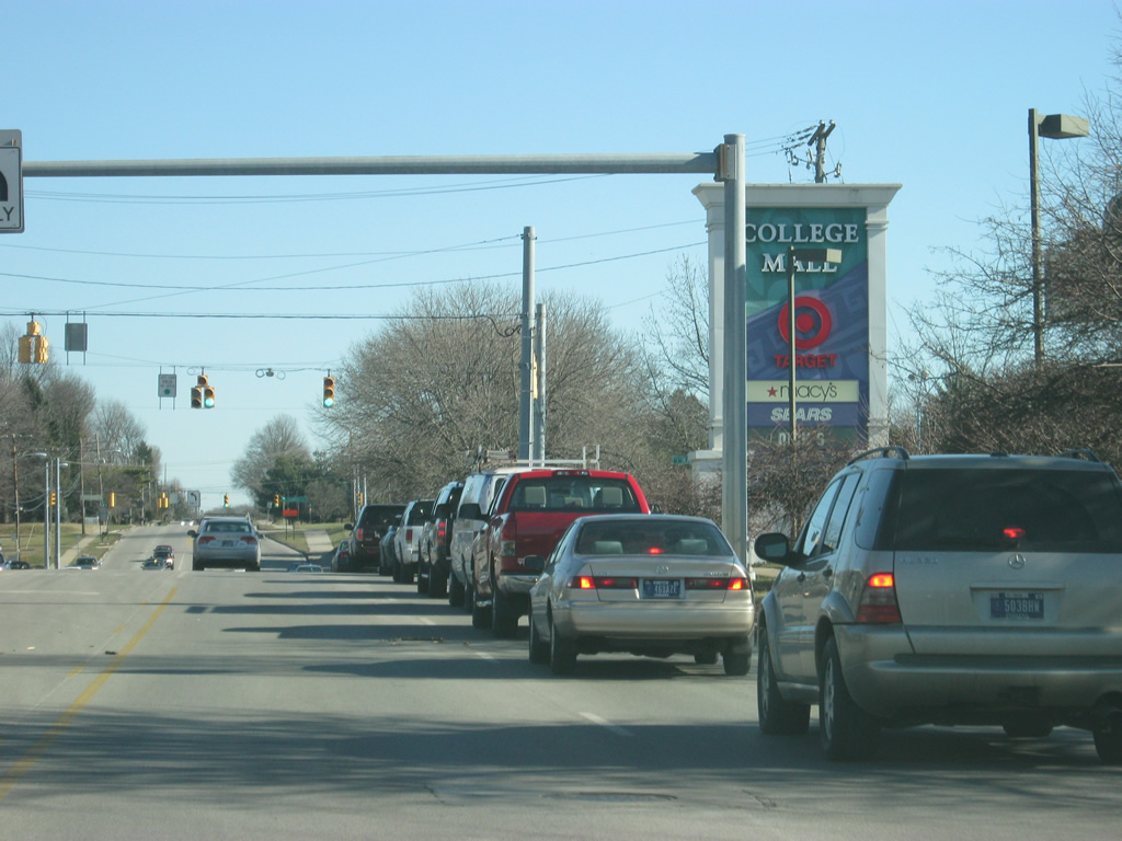
The College Mall commercial district comes into view as SR 46 approaches the intersection with 3rd Street. The second picture shows the same scene with the former two lane highway as it appeared in 2009.
04/14/13
05/31/09
Recreation interests for Monroe Reservoir's Paynetown State Recreational Area and Hardin Ridge should turn east onto 3rd Street to follow SR 46 to the SR 446 intersection.
04/14/13
Eastbound SR 46 traffic turns left onto 3rd Street using two left-turn lanes at this expanded intersection between the two roads. SR 46 will follow the four lane 3rd Street past the College Mall and toward the far east side of Bloomington. To the west, 3rd Street forms the primary east-west road across central Bloomington, leading to downtown and Indiana University. The second picture shows the former configuration of this intersection, which often lead to backups for traffic turning left onto 3rd Street.
04/14/13
05/31/09
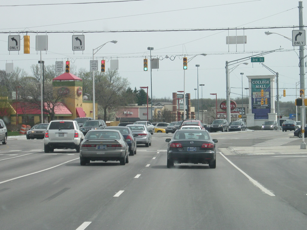
SR 46 turns east onto 3rd Street as the four lane roadway that was the bypass becomes College Mall Road. College Mall Road follows the western edge of College Mall to "continue" the bypass along the east side of Bloomington while serving several commercial businesses.
04/14/13
East from College Mall Road, SR 46 (3rd Street) remains a heavily commercialized route, passing by the north side of College Mall.
05/31/09
East along SR 46 (3rd Street) at the intersection with Kingston Drive. To the south, the road leads to College Mall and to the north it goes past a grocery store and some apartment complexes.
12/29/11
Next is the intersection between SR 46 (3rd Street) and Clarizz Boulevard. Clarizz Boulevard provides a link to Moores Pike to the south along the eastern periphery of College Mall.
12/29/11
East of Clarizz Boulevard, SR 46 (3rd Street) becomes less commercialized as it passes some residential neighborhoods along the east side of Bloomington. The road carries four lanes of traffic east to the junction with SR 446.
12/29/11
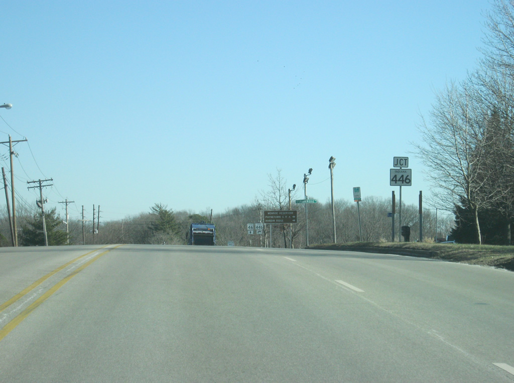
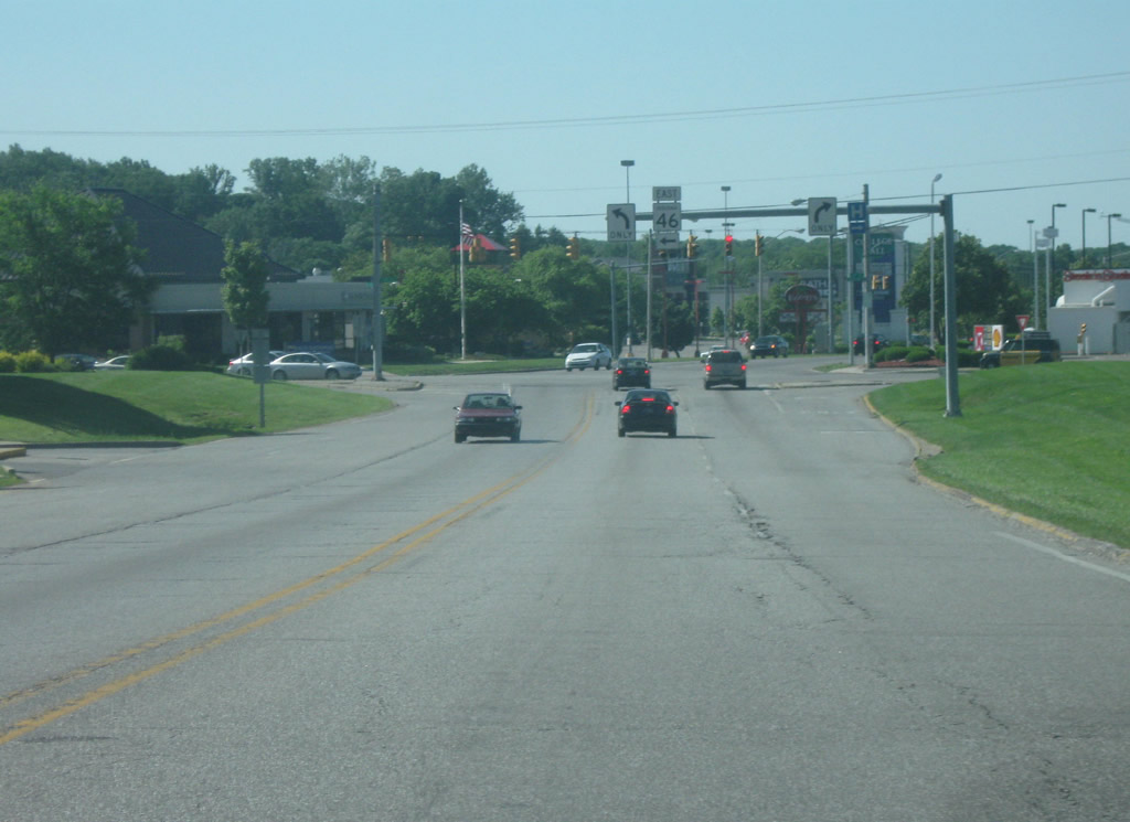
SR 46 (3rd Street) approaches the junction with SR 446 south. Despite being called an east-west highway, SR 446 goes from north to south for 23.5 miles across southeastern Monroe County and into Lawrence County before ending at U.S. 50 east of Bedford.
12/29/11
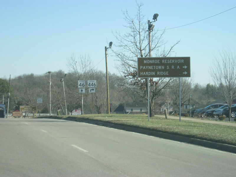
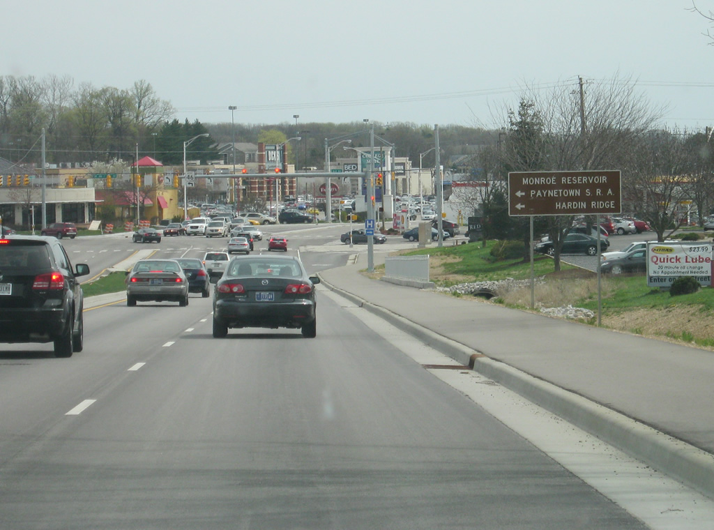
Monroe Reservoir, the largest lake in Indiana, can be reached via SR 446 to the south. That state road also heads toward Paynetown State Recreational Area, which can be accessed from SR 446 about ten miles to the south.
12/29/11
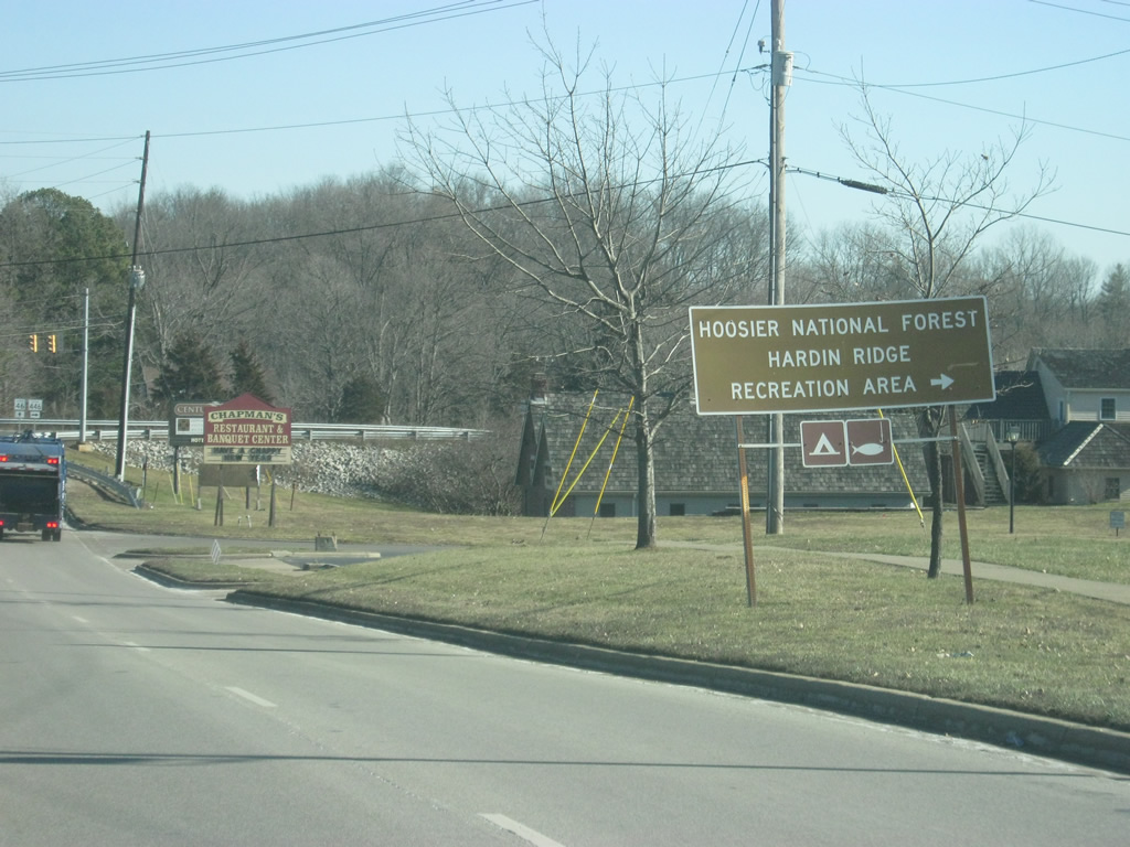
SR 446 also provides a link into the Hoosier National Forest and the Hardin Ridge Recreational Area, which is along the shores of Lake Monroe. The Charles C. Deam Wilderness Area, a part of the Hoosier National Forest, is also reached from SR 446.
12/29/11
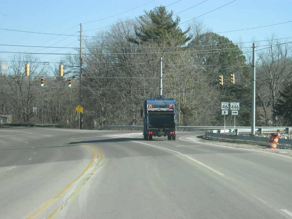
The right lane from SR 46 (3rd Street) becomes a right turn lane onto SR 446 south. From this stoplight, SR 46 will leave the urbanized part of Bloomington.
12/29/11
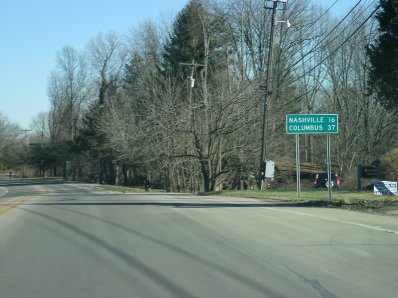
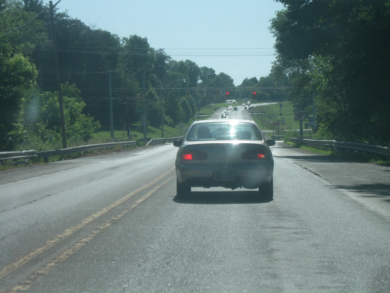
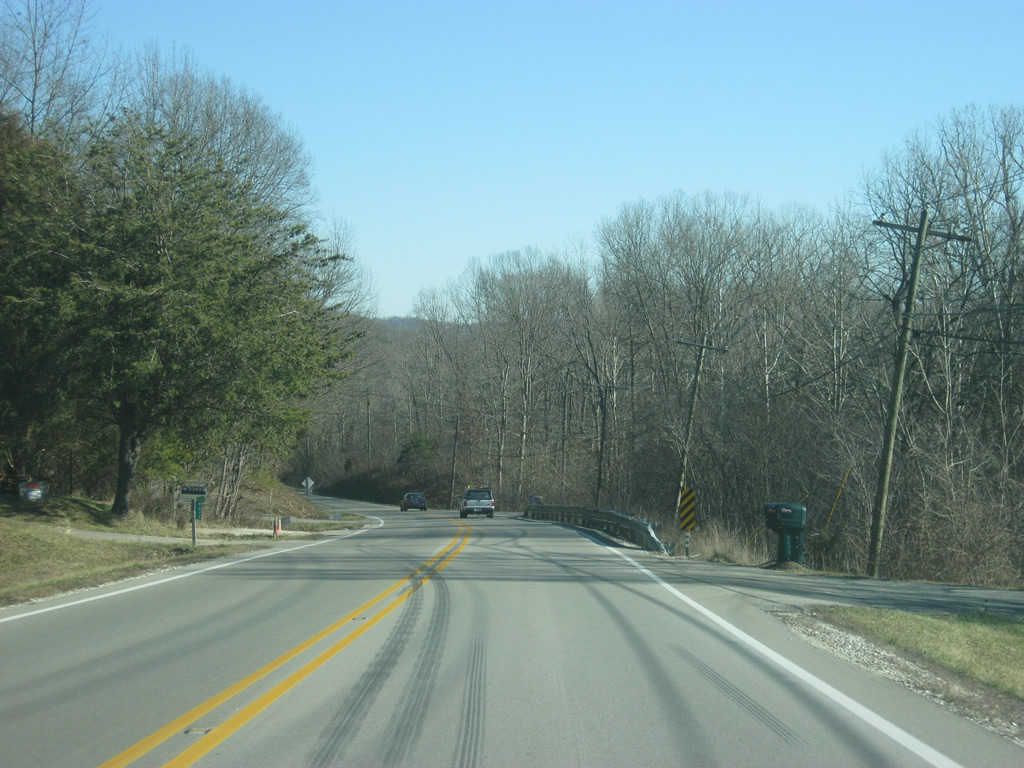
Now east of the junction with SR 446 south, SR 46 becomes a two lane highway and winds its way toward Nashville (16 miles) and Columbus (37 miles). Interstate 65 can be reached from the Columbus area.
12/29/11
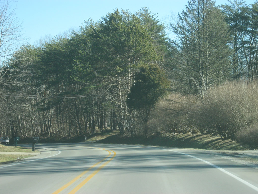
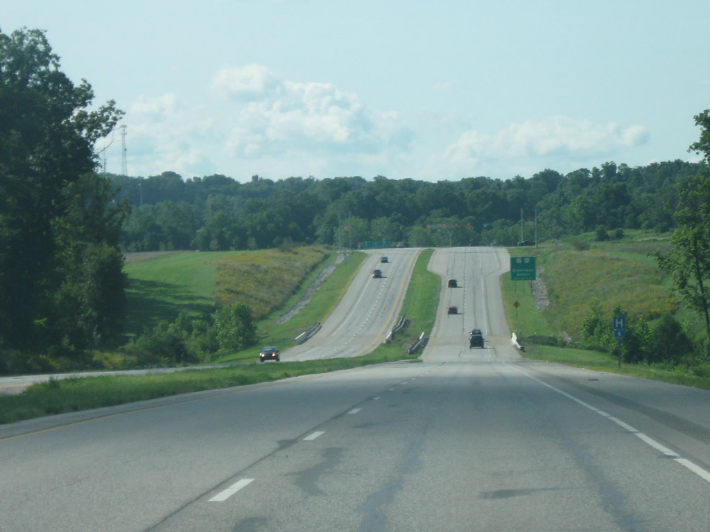
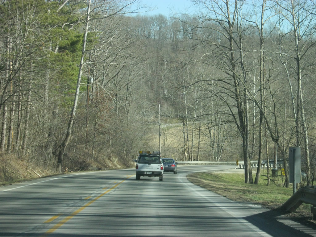
East of Bloomington, SR 46 follows a windy path across the rural expanses of eastern Monroe County. There are some businesses and homes along the highway but the drive is otherwise forested. The stretch of SR 46 from Bloomington east to Columbus during peak periods receives a great deal of traffic that leads to slow travel along the route.
12/29/11
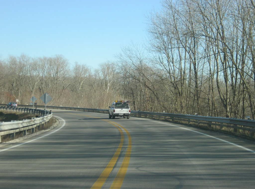
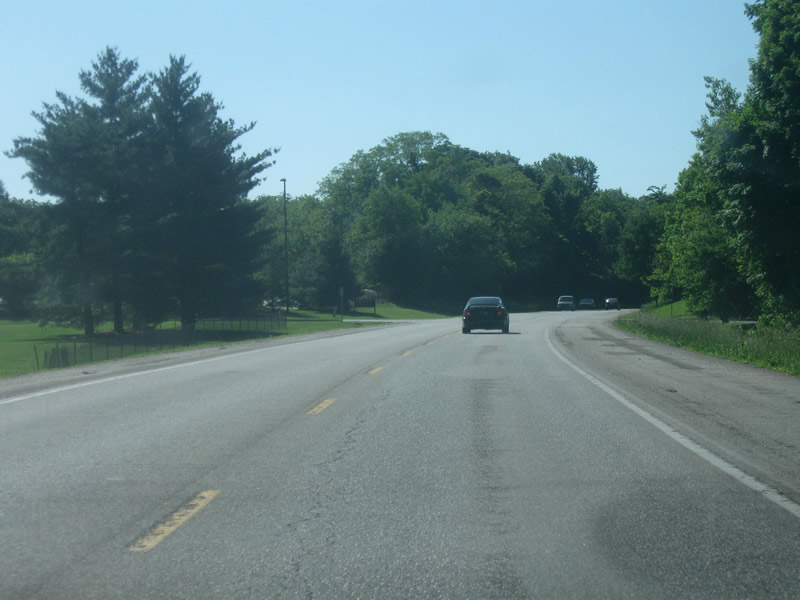
SR 46 hugs the hillside of Brown Ridge above the North Fork Salt Creek valley to the Woodville Hills community.
12/29/11
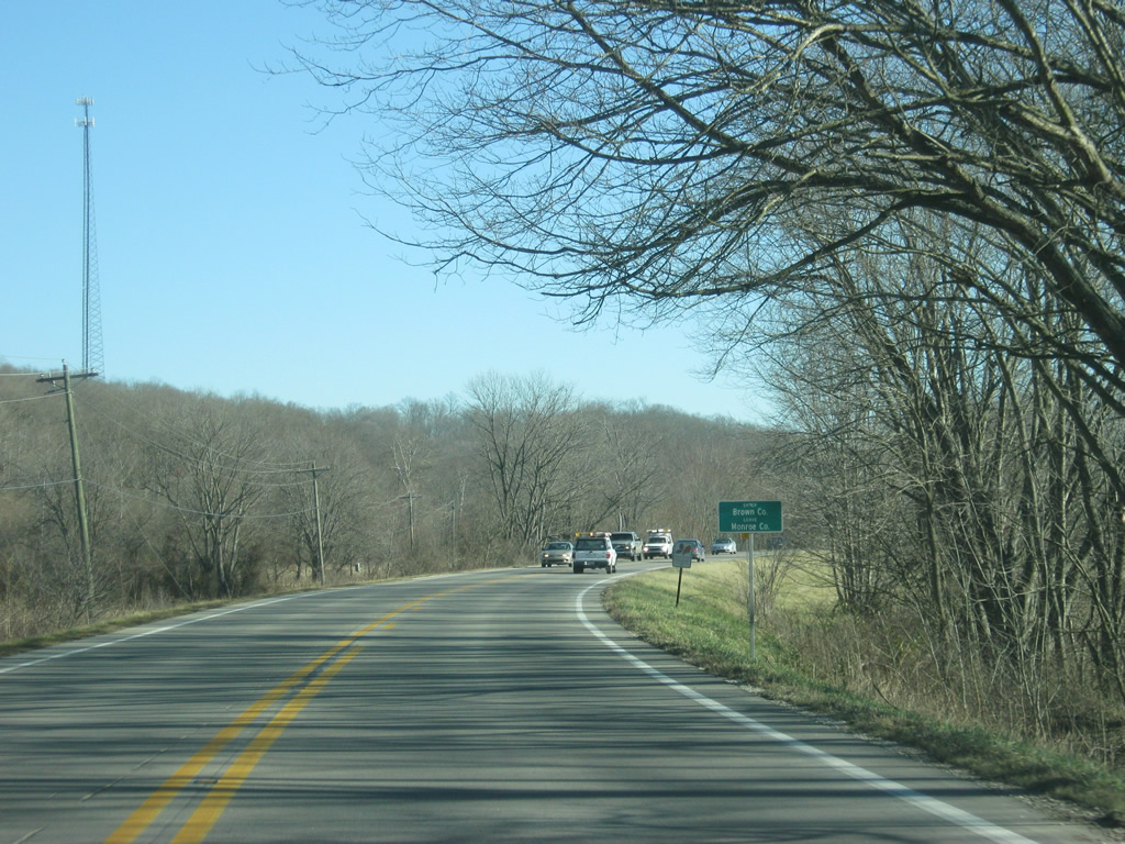
SR 46 east crosses the Brown County line. Brown County (population 15,242) is famous for the hilly terrain that covers the entire county. In the past, this isolated the county from the rest of the state and brought artists who sought out seclusion. Over time, the county was connected via SR 46 and SR 135 and has since become a vacation spot for those in the Indianapolis and surrounding areas clambering for the outdoors.
12/29/11
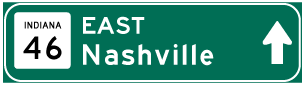
Photo Credits:
- Thomas Decker: 05/31/09, 08/02/09, 12/29/11, 04/14/13
Connect with:
Page Updated Friday May 03, 2013.