
State Road 46 East - Owen County

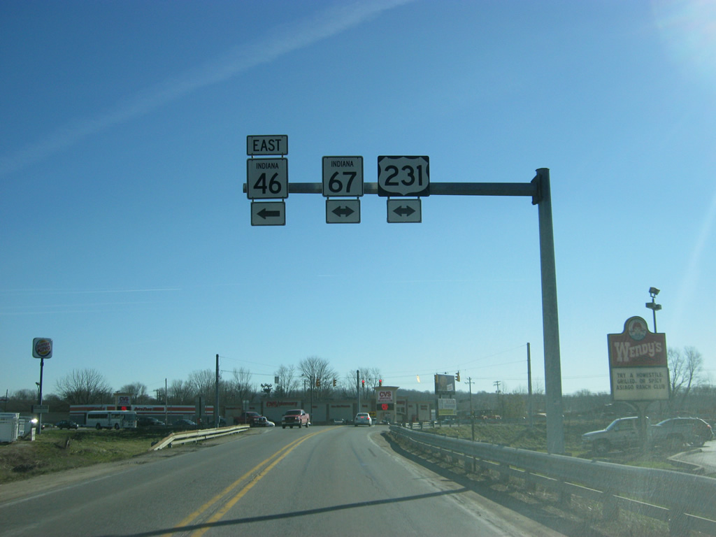
SR 46 east prepares to meet U.S. 231 & SR 67 in the city of Spencer (population 2,217), the county seat of Owen County. To the right, U.S. 231 & SR 67 remains multiplexed for another 17 miles to the south to Worthington. From there, SR 67 continues to the southwest toward Vincennes whereas U.S. 231 heads south toward Bloomfield, Jasper and Owensboro, Kentucky.
12/29/11

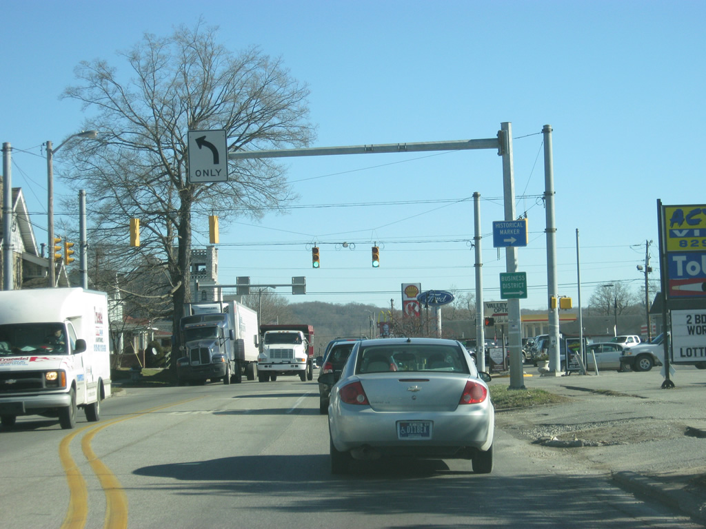
SR 46 multiplexes with U.S. 231 & SR 67 north through Spencer along Morgan Street. SR 67 in totality goes for 199 miles from Vincennes to the southwest north through Indianapolis and Muncie before ending at the Ohio border near Bryant.
12/29/11
U.S. 231 & SR 46-67 (Morgan Street) north see a traffic light at the intersection with Main Street north of Downtown Spencer.
12/29/11
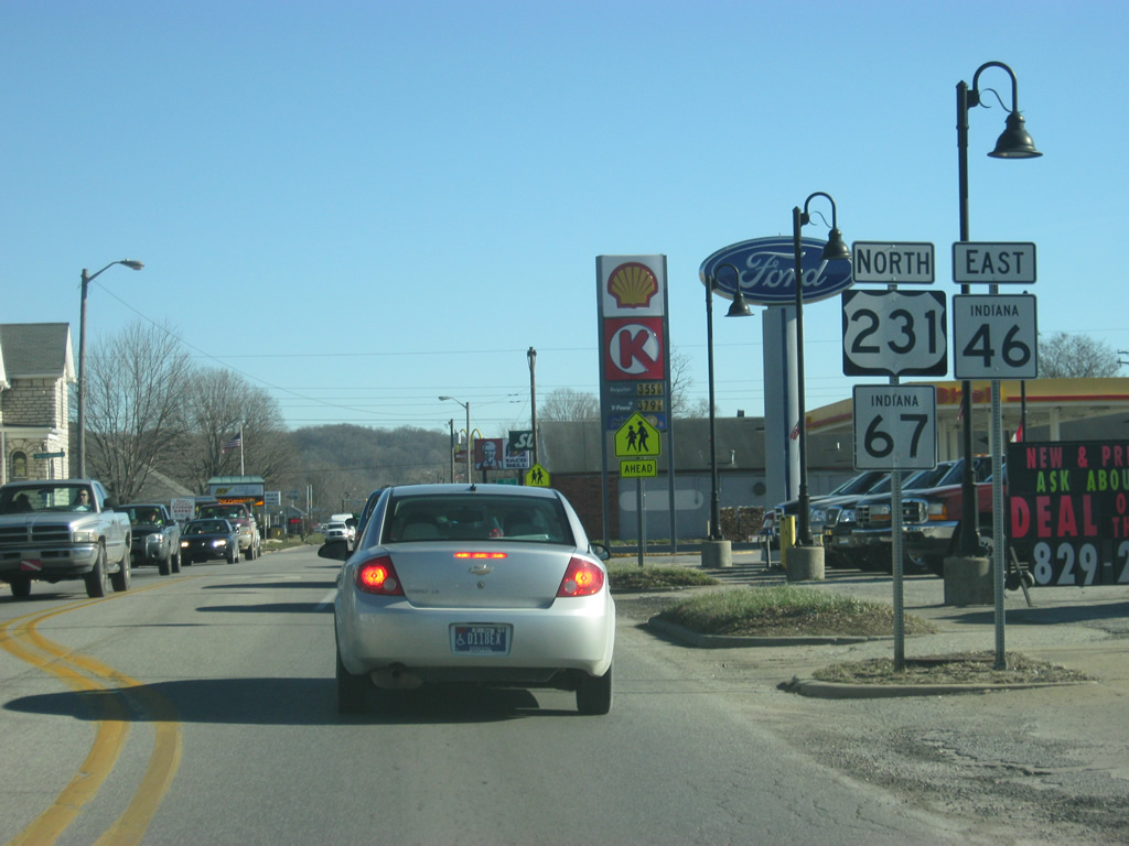
Reassurance shields for U.S. 231 & SR 46-67 follow the Morgan Street intersection with Main Street. U.S. 231 spends 297 miles of its 912 mile journey in Indiana from the highway's northern terminus in St. John before heading south through Rensselaer, Lafayette, Crawfordsville, Greencastle, Spencer, and Jasper before crossing the Ohio River into Kentucky. The highway ultimately ends in Panama City, Florida.
12/29/11
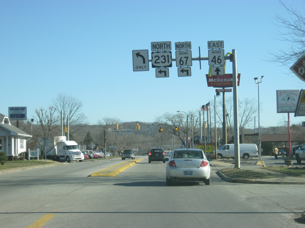
U.S. 231 & SR 67 part ways with SR 46 east for Fletcher Avenue on the east side of Spencer. The pair continue another six miles before separating. SR 46 remains along Morgan Street to an exit of Spencer.
12/29/11
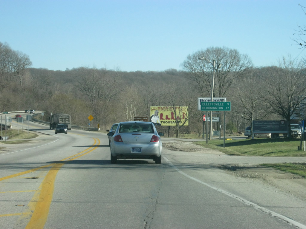
East of the split with U.S. 231 & SR 67, Ellettsville is the next community along SR 46 at nine miles. Bloomington, the largest city in the region and home to Indiana University, is 19 miles away.
12/29/11
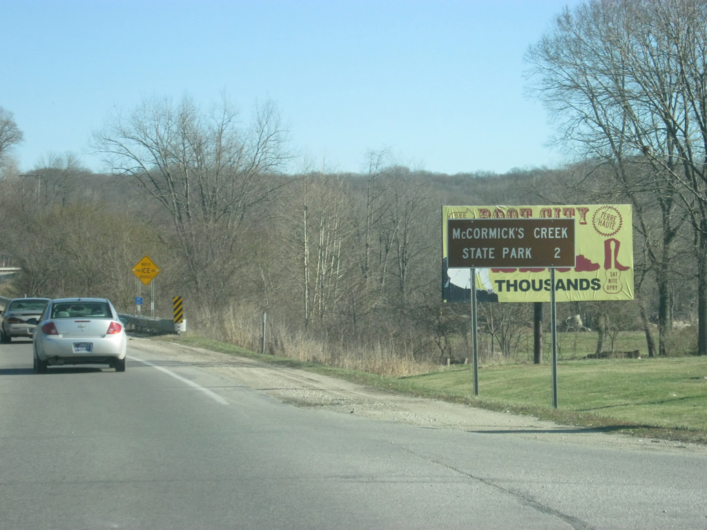
McCormick's Creek State Park is only two miles to the east of Spencer off of SR 46.
12/29/11
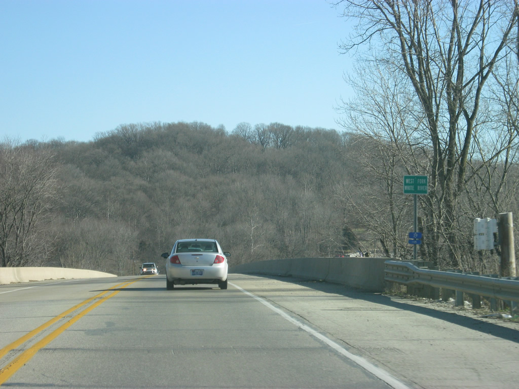
East of Spencer, SR 46 crosses the West Fork of the White River.
12/29/11
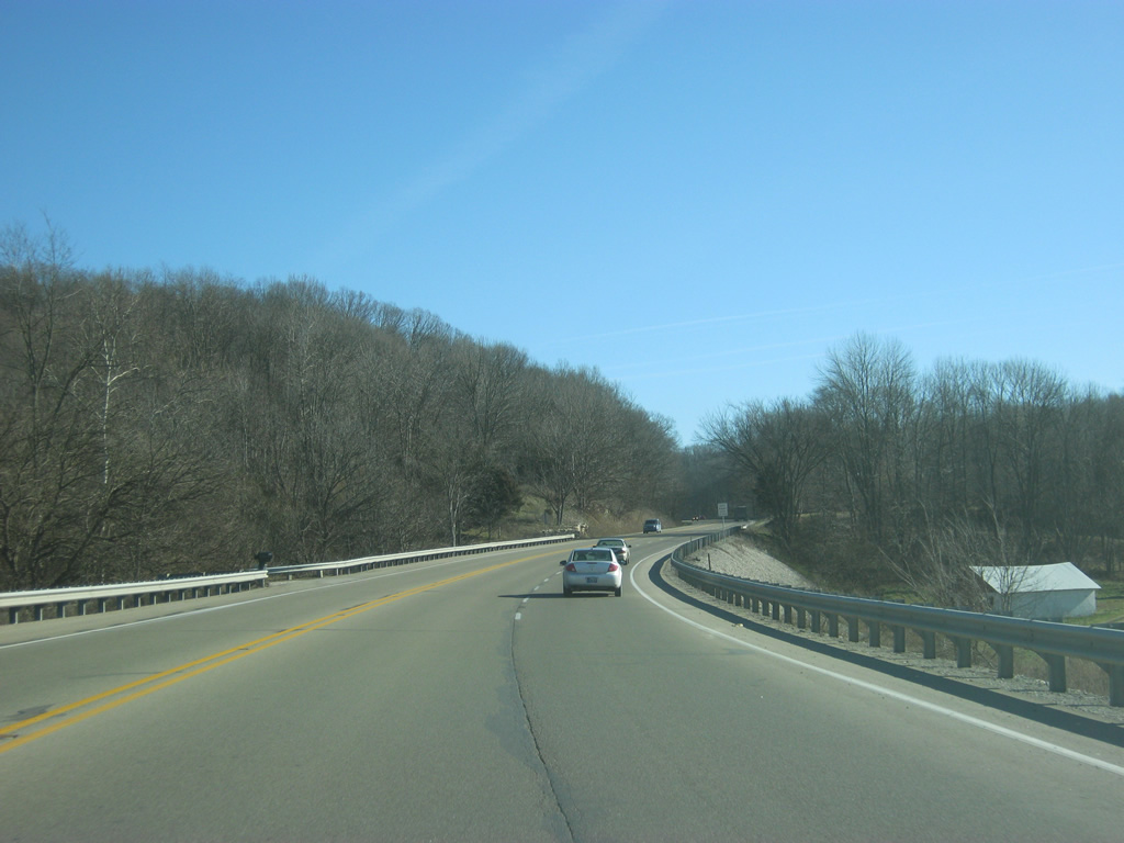
SR 46 ascends the valley from the West Fork of the White River and gains climbing lane.
12/29/11
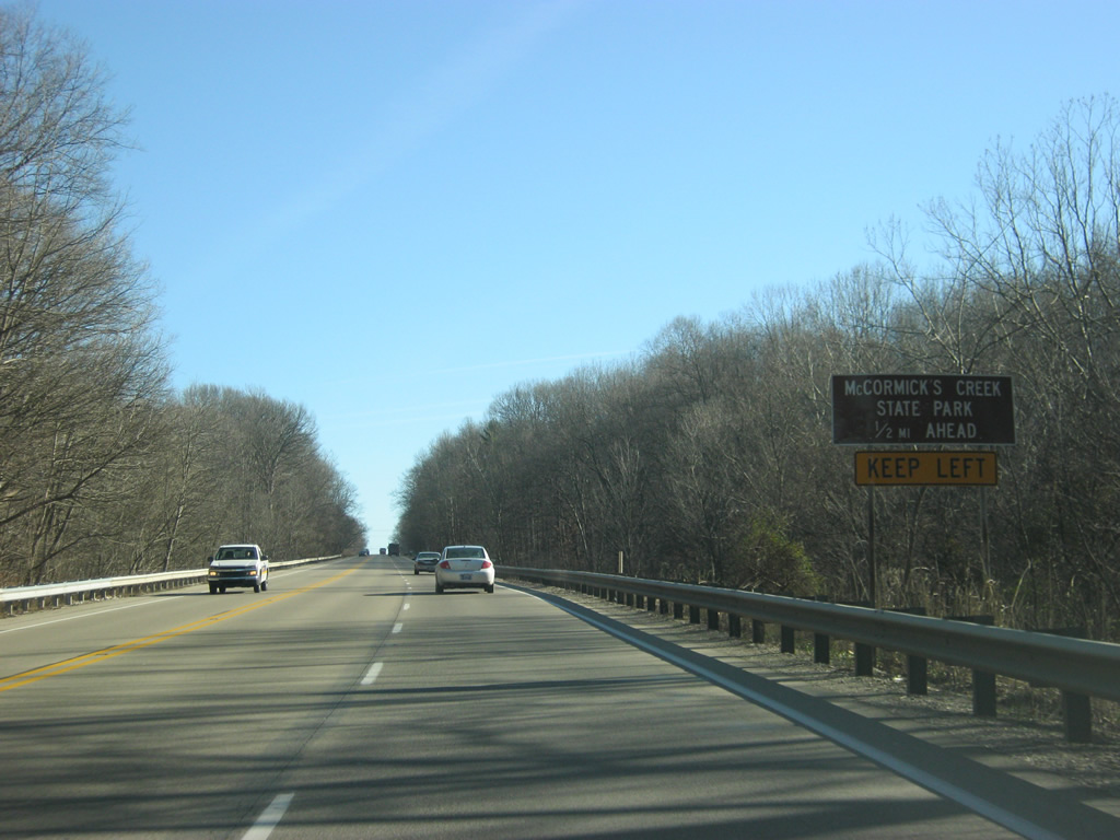
The entrance of McCormick's Creek State Park is now a half mile away. McCormick's Creek State Park is the oldest in the Indiana system of state parks, opening in 1916.
12/29/11
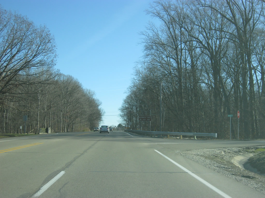
The entrance to McCormick's Creek State Park lies to the north in this scene opposite Old River Road.
12/29/11
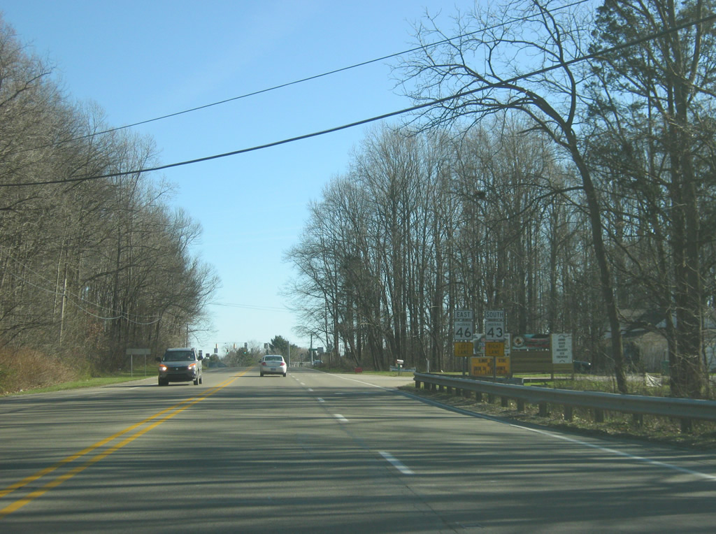
Following the park entrance along SR 46, the right lane will become a turn lane for SR 43 south. SR 43 exists in two segments, one north of Lafayette and the other stretching for 23 miles from SR 46 south to SR 45 in eastern Greene County.
12/29/11
The town of Whitehall lies at the junction of SR 43 with SR 48 in western Monroe County, some ten miles to the south.
12/29/11
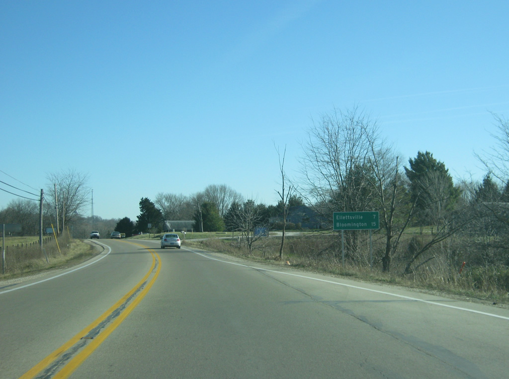
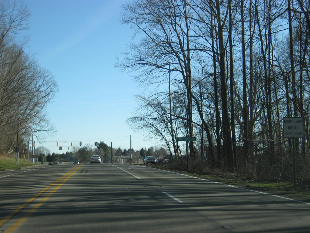
East of the junction with SR 43 south, SR 46 is seven miles from Ellettsville and 15 miles from Bloomington.
12/29/11
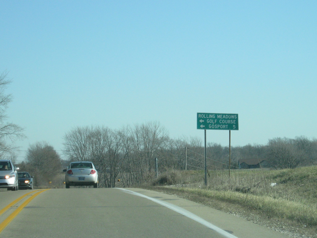
Two miles east of the SR 43 south junction is the intersection with County Line Road, which provides access the Rolling Meadows Golf Course and the town of Gosport in northeastern Owen County.
12/29/11
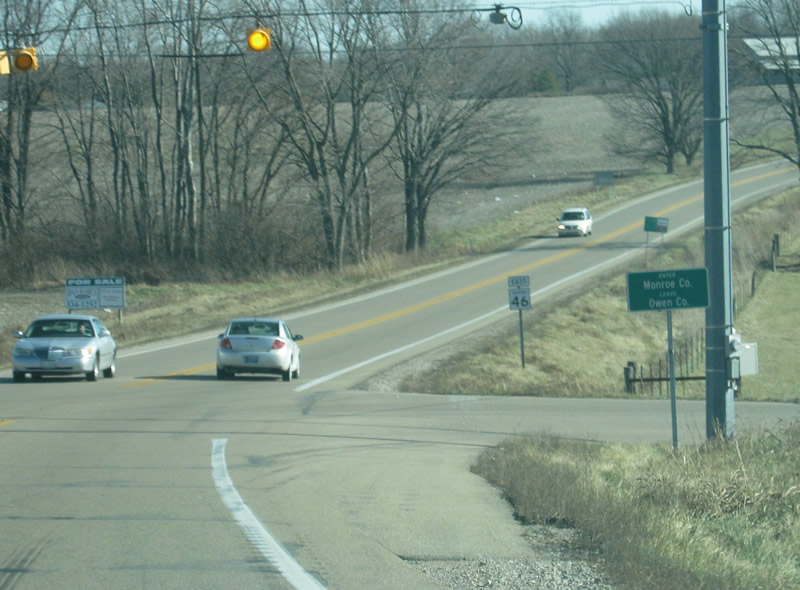
Crossing County Line Road, SR 46 enters Monroe County (population 137,947). Monroe County is home to Bloomington and Indiana University and is the business and service hub for South central Indiana.
12/29/11

Photo Credits:
- Thomas Decker: 12/29/11
Page Updated Friday May 03, 2013.