
State Road 332 - Delaware County
Indiana 332 is a 7.6 mile highway that serves as a four-lane spur connecting Interstate 69 with the north side of Muncie at Tillotson Avenue. Built in the 1980s, the highway is built up to expressway standards and provides the most direct connection from the interstate to Ball State University. Since Interstate 69 wasn't built closer to Muncie, Indiana 332 was constructed to provide the needed connection to the north side of Muncie, while the Muncie Bypass (U.S. 35/Indiana 3/Indiana 67) connected to the city's south and east sides. Notably, Indiana 332 is the only state highway that does not connect to another state highway.
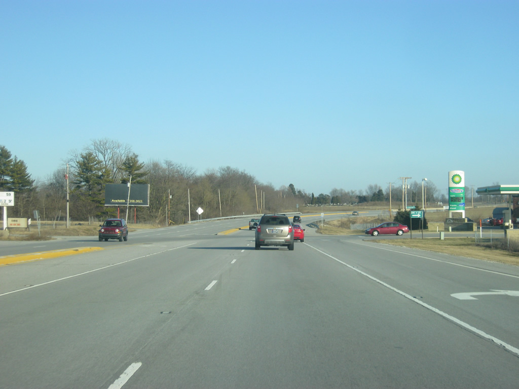
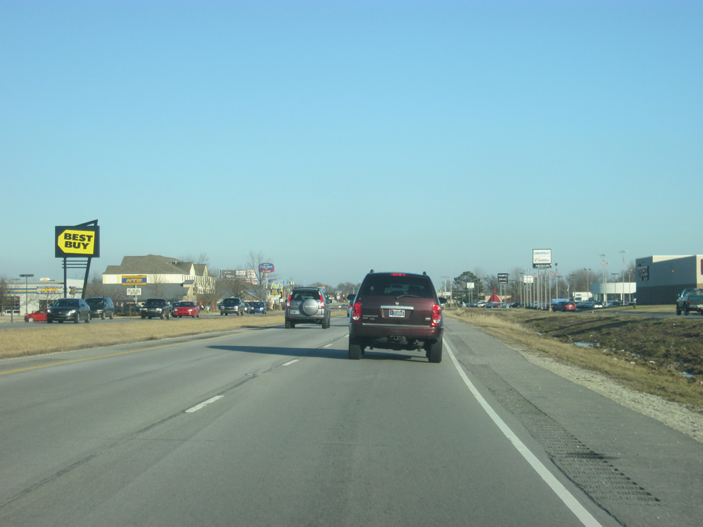
Heading east from Interstate 69, the first intersection with SR 332 (McGalliard Road) is with Executive Park Drive, serving a gas station and an interstate-oriented business park. SR 332 technically carries the McGalliard Road name for its entirety, but locals are more likely to refer to the expressway portion as SR 332 and use the McGalliard Road name only in Muncie.
11/19/11
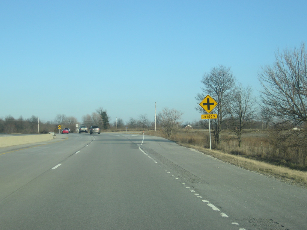
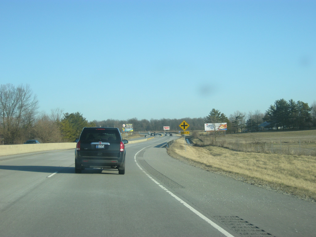
SR 332 (McGalliard Road) passes to the south of a cemetery at the intersection with County Road 820 West, which connects to County Road 200 North to the south.
11/19/11
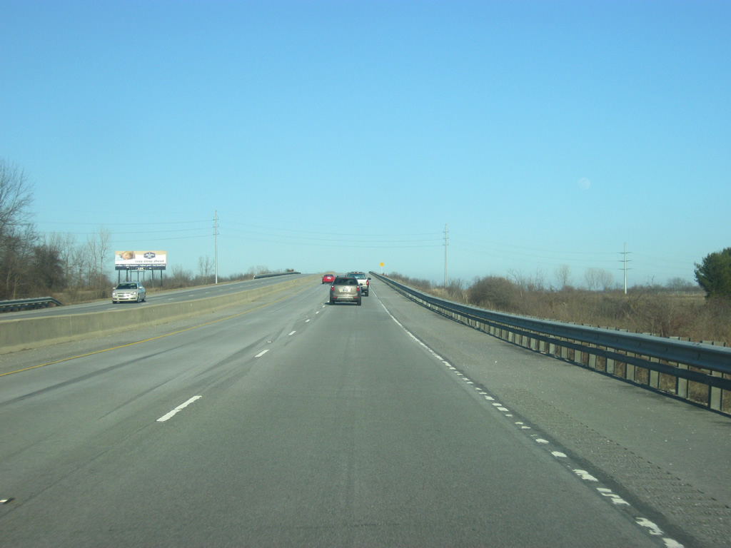
East of County Road 820 West, SR 332 spans the Norfolk Southern railroad. The bridge and the aforementioned cemetery cause SR 332 (McGalliard Road) to wind its way for the first couple of miles from Interstate 69.
11/19/11
East of the bridge over the railroad tracks near the town of Reed Junction, SR 332's next intersection is with County Road 700 West.
11/19/11
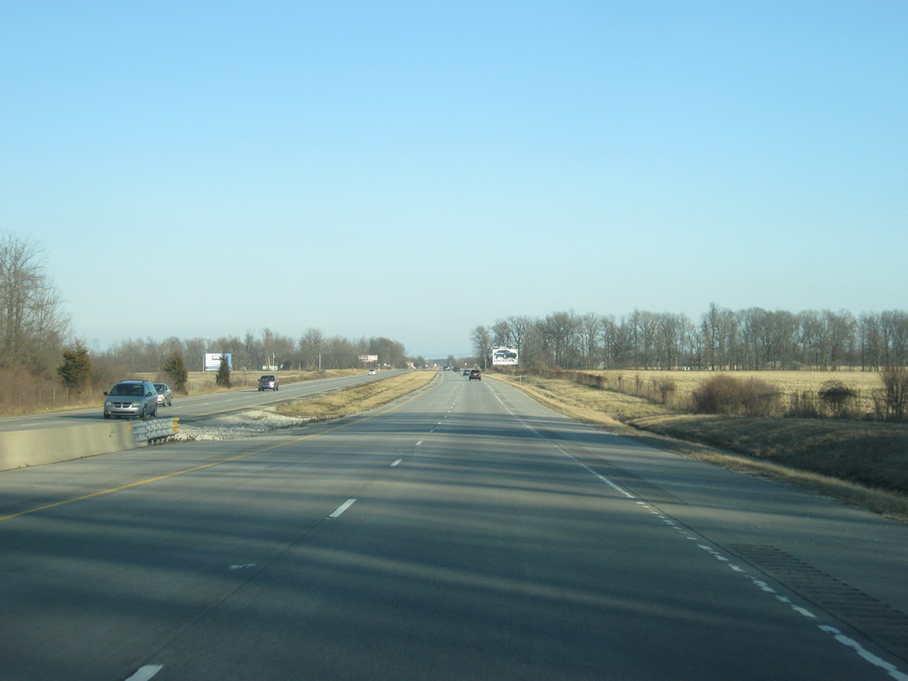
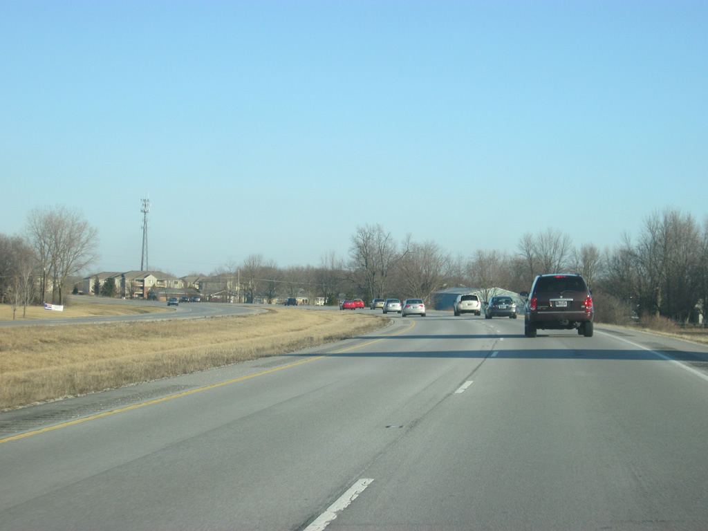
East of County Road 700 West, SR 332 (McGalliard Road) trades in the jersey barrier with a grassy median. It's a straight path to the east for the next couple of miles along the four lane expressway.
11/19/11
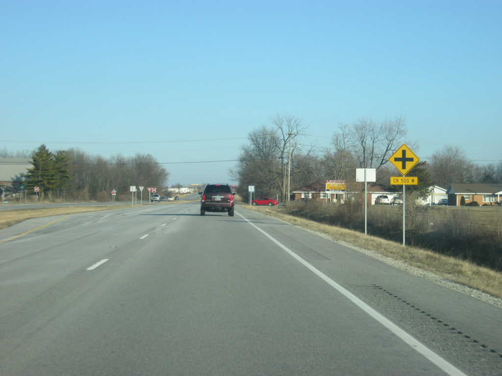
The next intersection along SR 332 (McGalliard Road) is with County Road 600 West, which goes to the north toward the towns of Gaston and Mathews. To the south, the highway heads toward Cammack and the central part of Yorktown (population 9,405). Suburban growth and annexations has pushed Yorktown's limits north to SR 332, hence the Welcome to Yorktown sign east of County Road 600 West.
11/19/11
SR 332 (McGalliard Road) slowly transitions from a rural to suburban area as it nears the intersection with County Road 500 West, which serves more suburban parts of Yorktown to the south. Despite the entrance sign into Yorktown there is little evidence of entering the Delaware County community, whose heart is several miles to the south.
11/19/11
SR 332 (McGalliard Road) meets Nebo Road (County Road 400 West) at its first signalized intersection. Nebo Road heads south along the border of Yorktown and Muncie across the White River to SR 32 (Kilgore Avenue). To the north, Nebo Road (County Road 400 West) heads toward U.S. 35/SR 28. Despite INDOT'S insistence on using the county road number for Nebo Road, locals prefer on the Nebo name.
11/19/11
East of Nebo Road (County Road 400 West), SR 332 (McGalliard Road) passes to the south of homes that existed back when the highway was being built, necessitating the bypass to the south.
11/19/11

The next stoplight along SR 332 (McGalliard Road) is with Morrison Road (County Road 300 West). Morrison Road heads north to Royerton Road (County Road 500 North) and south to River Road north of the White River. The road serves the western suburbs of Muncie (population 70,085). Known as the home to Ball State University, Muncie is the primary city in the East Central Indiana region and the county seat of Delaware County.
11/19/11
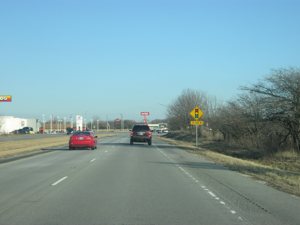
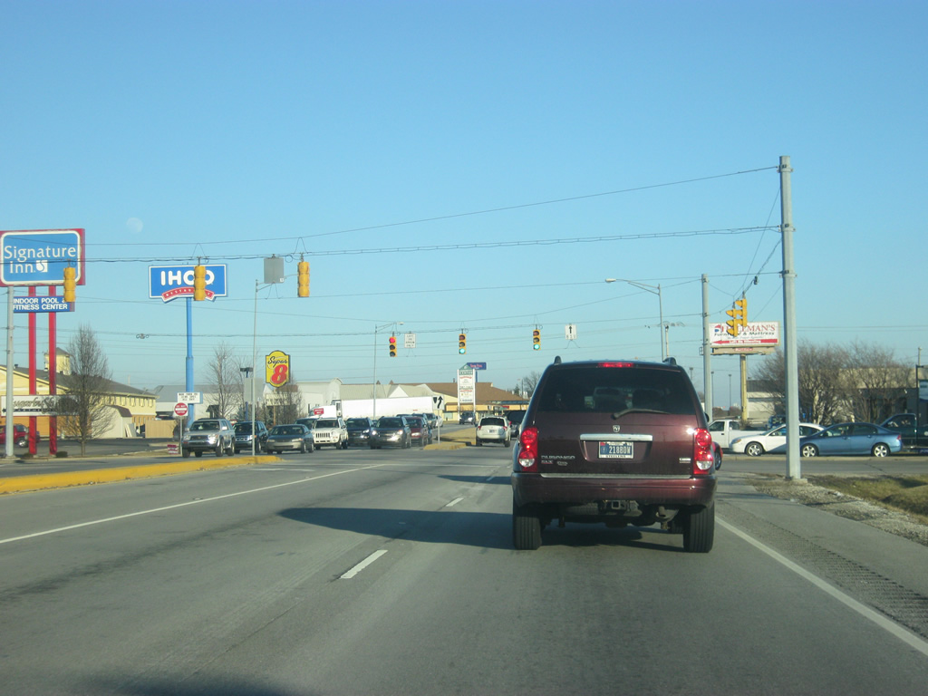
East of Morison Road (County Road 300 West), SR 332 (McGalliard Road) enters a commercial district serving the northwest side of Muncie. Several stores, restaurants and hotels are in this area that serve travelers who are primarily here for Ball State University. SR 332's easy access to Interstate 69 has fueled the growth here. To the south, Clara Lane serves as a frontage road while Bethel Pike serves the northern side of the highway.
11/19/11
SR 332 (McGalliard Road) at the intersection with Chadam Lane. Chadam Lane serves as a connector with four-way stops to the north and south of the intersection. Both intersections connect to Bethel Avenue, which used to carry on continuously to the northwest before SR 332 (McGalliard Road) was built. Chadam Lane was built to allow for Bethel Avenue to meet at a right angle intersection. Bethel Avenue to the southeast provides one, but not the best, route to Ball State University.
11/19/11
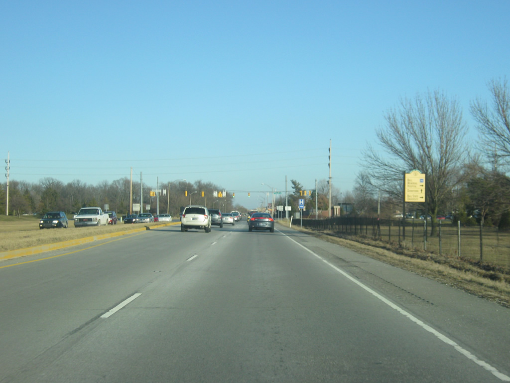
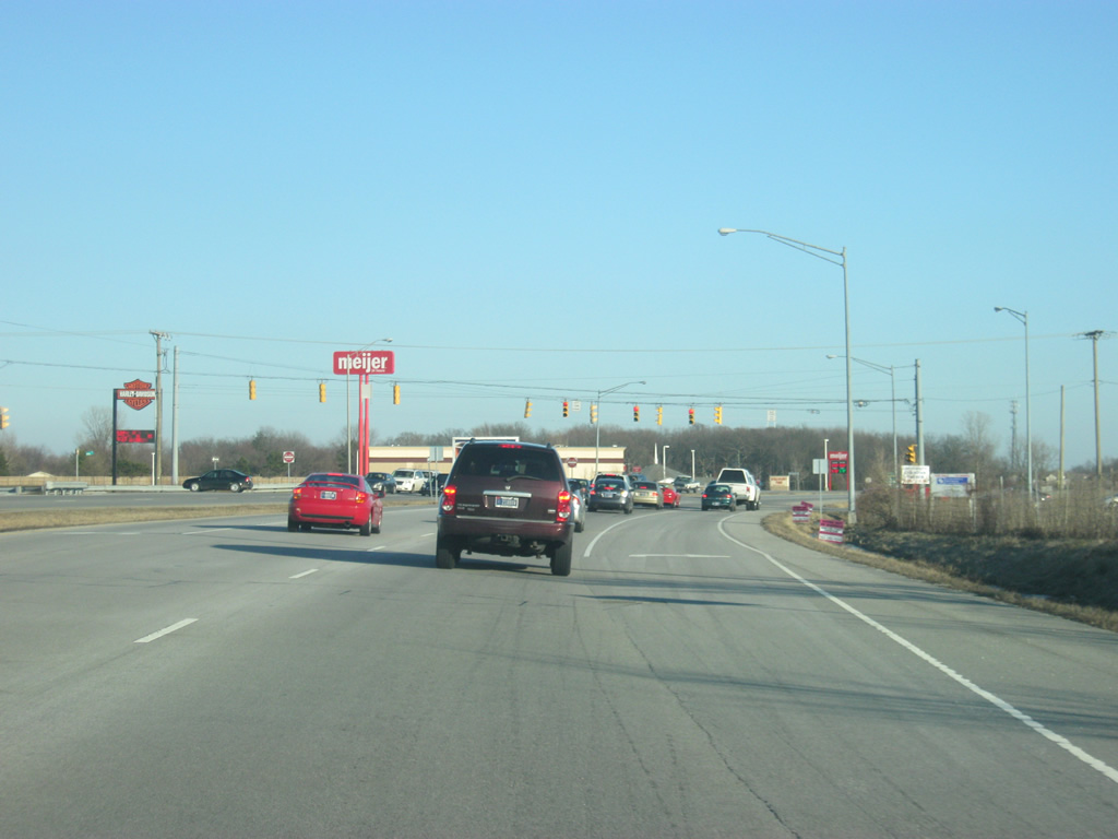
A way finder sign directs traffic heading east along SR 332 (McGalliard Road) near the Ball State's baseball fields to take Tillotson Avenue (up ahead) to Ball State University and Ball Memorial Hospital, both named for the Ball family, which used to own the Ball jar company which was based in Muncie.
11/19/11
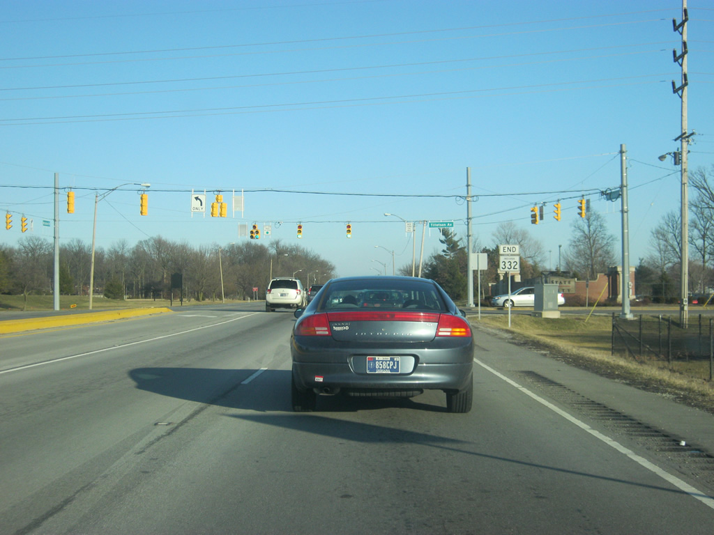
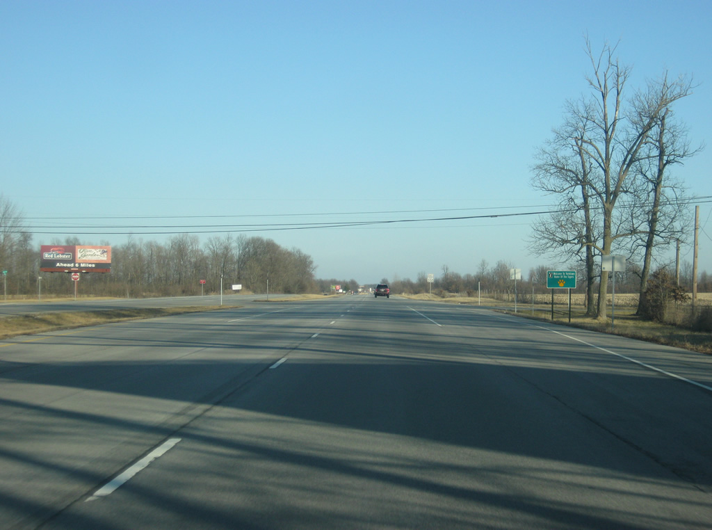
Next to Ball State's Scheumann Stadium, SR 332 ends at the Tillotson Avenue intersection. Tillotson Avenue is a four lane arterial that spans the west side of Muncie down to SR 32 (Kilgore Avenue). Tillotson Avenue provides the best access to Ball State University, via either Bethel, Riverside or University Avenues. To the east, McGalliard Road continues as a heavily-commercialized corridor across the north side of Muncie, heading to the east to the Muncie Bypass (U.S. 35/SR 3/SR 67).
11/19/11
Photo Credits:
- Thomas Decker: 11/19/11
Connect with:
Page Updated Thursday August 09, 2012.