
Highway 5

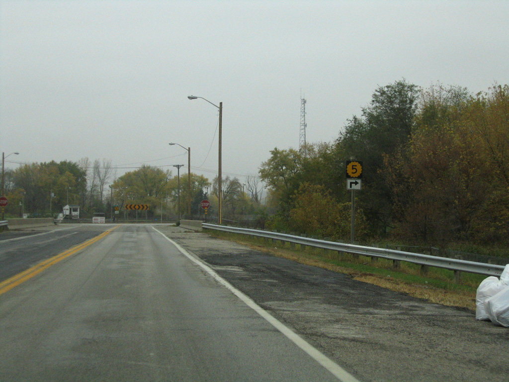
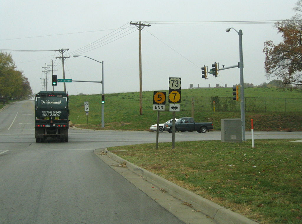
Measuring 24.07 miles in length, K-5 connects Kansas City with Leavenworth in northeastern Kansas. The state highway generally parallels the Missouri River from U.S. 69 at the Fairfax District in Kansas City to U.S. 73/K-7 by Leavenworth National Cemetery.
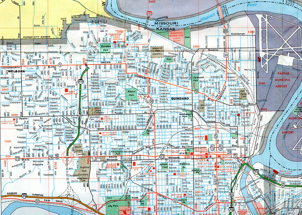
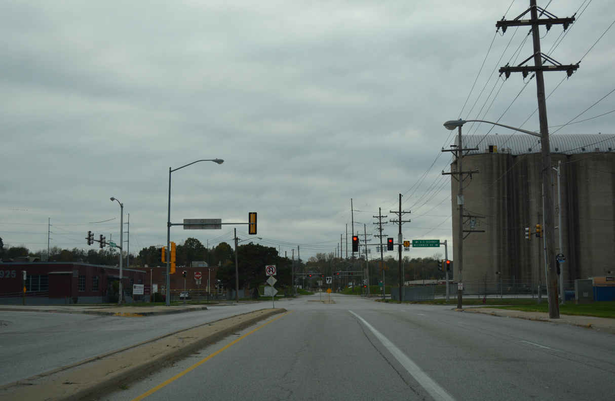
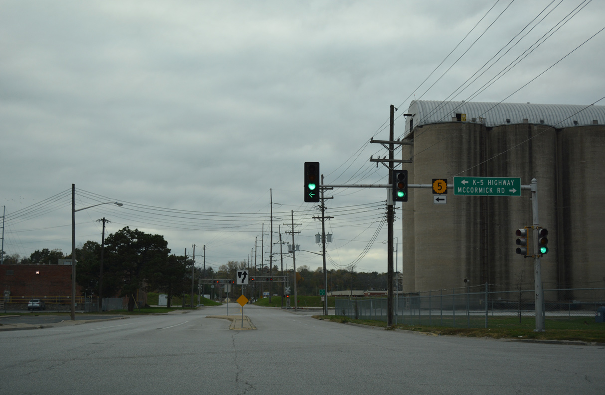
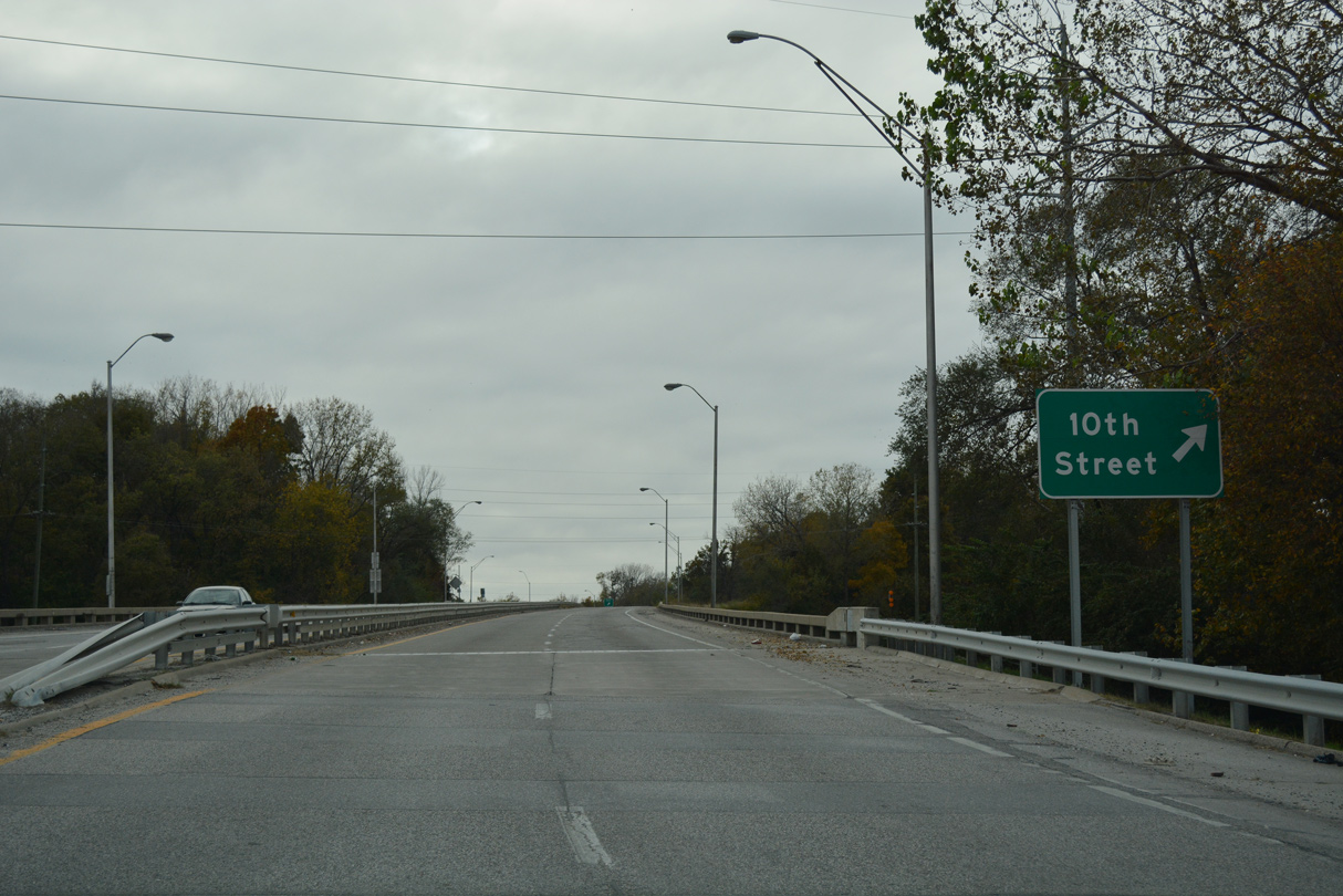
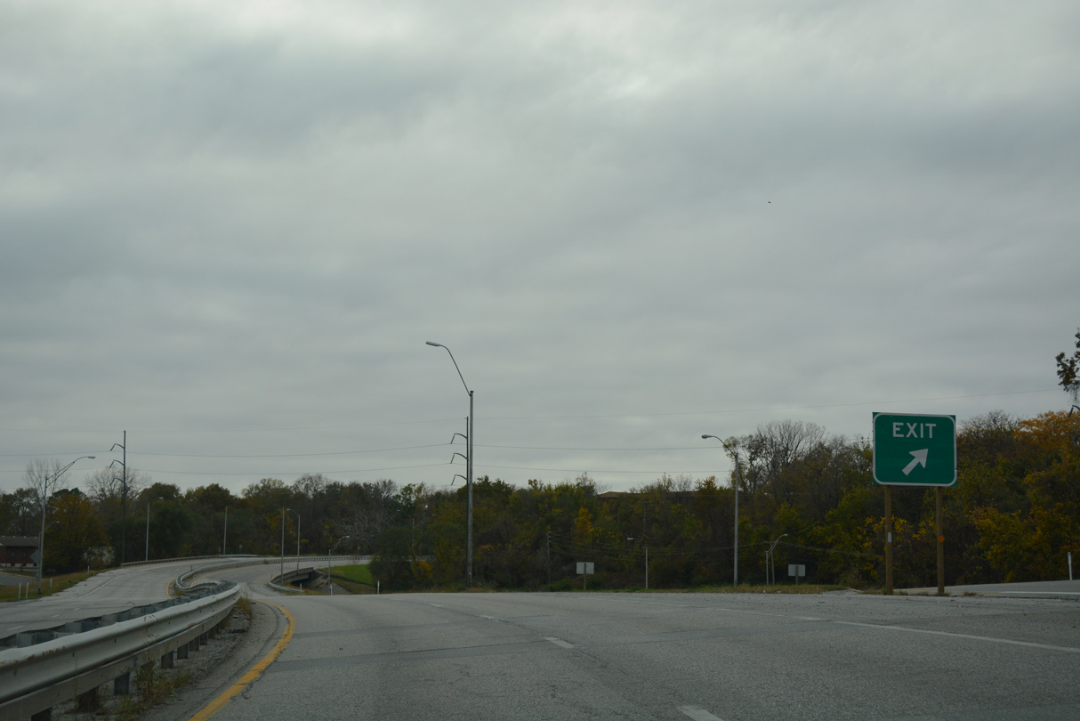
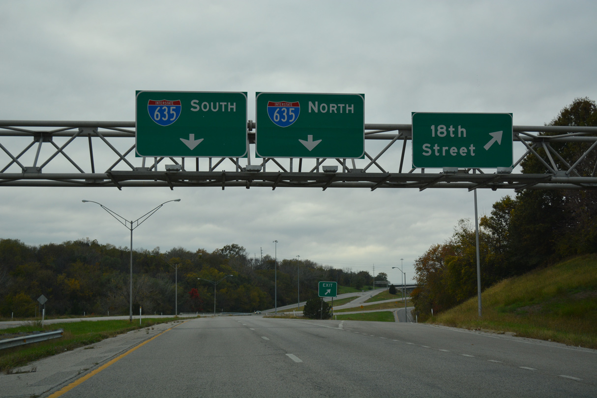
K-5 initially lines Sunshine Road west from U.S. 69 (7th Street Trafficway) to McCormick Road along a four lane industrial boulevard. K-5 turns south across Union Pacific Railroad lines along a freeway spur to the Northeast neighborhood and Interstate 635. The freeway along K-5 was formerly a part of Interstate 635, prior to its realignment northward across the Missouri River.
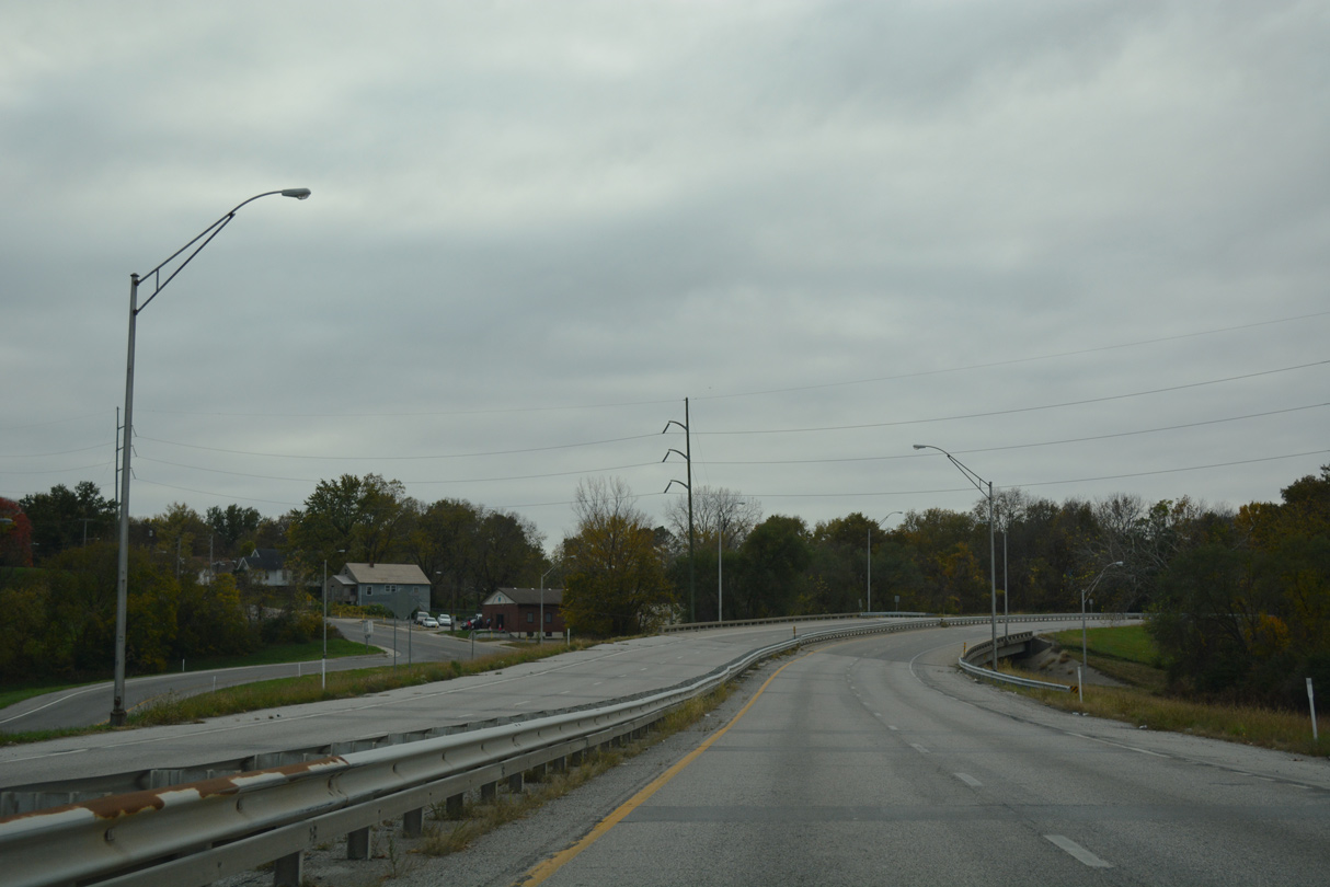
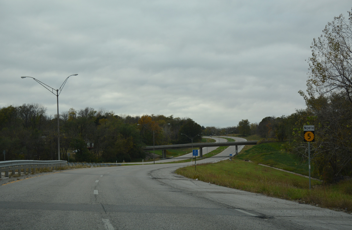
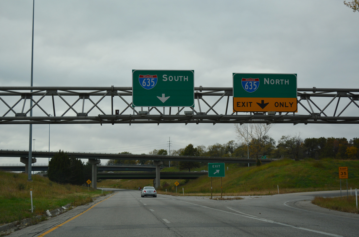
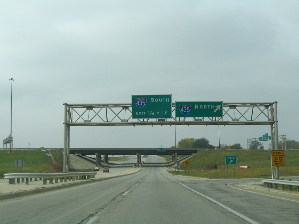
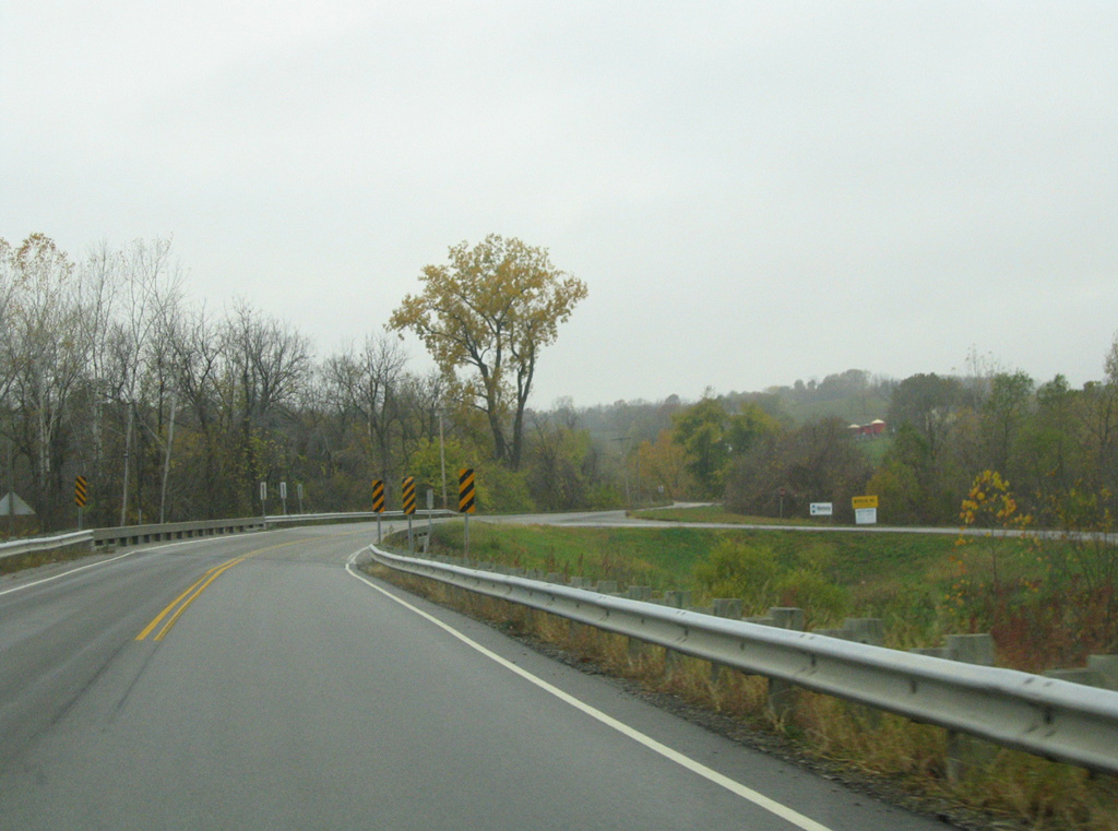
I-635 and K-5 overlap for 0.74 miles to Leavenworth Road at the Quindaro Bluffs and Bethel-Welborn neighborhoods. Leavenworth Road leads K-5 west 8.03 miles to Nearman Hills, Victory Hills and Interstate 435. K-5 combines with I-435 northward for 3.00 miles to Exit 18 and the Wolcott neighborhood of Kansas City.
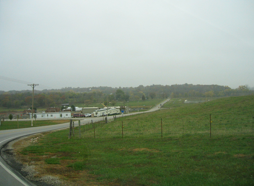
The northern extent of K-5 follows Wolcott Road through rural eastern Leavenworth County. The route passes through the east side of Lansing, following 8th Street north to Muncie Road west into the Leavenworth city limits.
The former route of Kansas Highway 5 through Kansas City's Northwest and Northeast neighborhoods in 1973.
Prior to the construction of the freeway taking K-5 east to Sunshine Road in the Fairfax District, K-5 extended east from Leavenworth Road along Broad Avenue to N 27th Street. The state highway dog legged south on 27th Street to Quindaro Boulevard east. The north end of K-58 tied into Quindaro Boulevard along N 18th Street. K-5 continued east from there to an overlap with U.S. 69/169 south along the 7th Street to U.S. 24/40/73 (State Avenue) in Downtown Kansas City.
10/30/16
10/30/16
10/30/16
10/30/16
10/30/16
10/30/16

10/30/16
10/30/16
10/30/16

10/30/16
10/30/16
10/30/16
10/31/03
11/02/03
11/02/03
11/02/03
11/02/03
Photo Credits:
- Alex Nitzman, Richie Kennedy: 10/30/16
- Justin Cozart: 10/31/03, 11/02/03
Connect with:
Page Updated Tuesday October 26, 2021.