
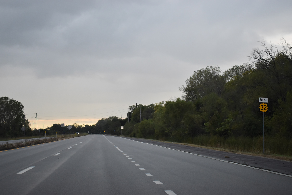
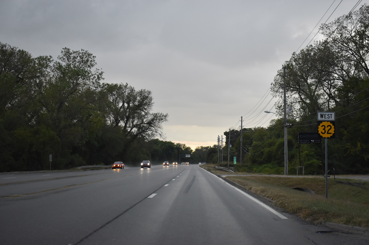
Highway 32
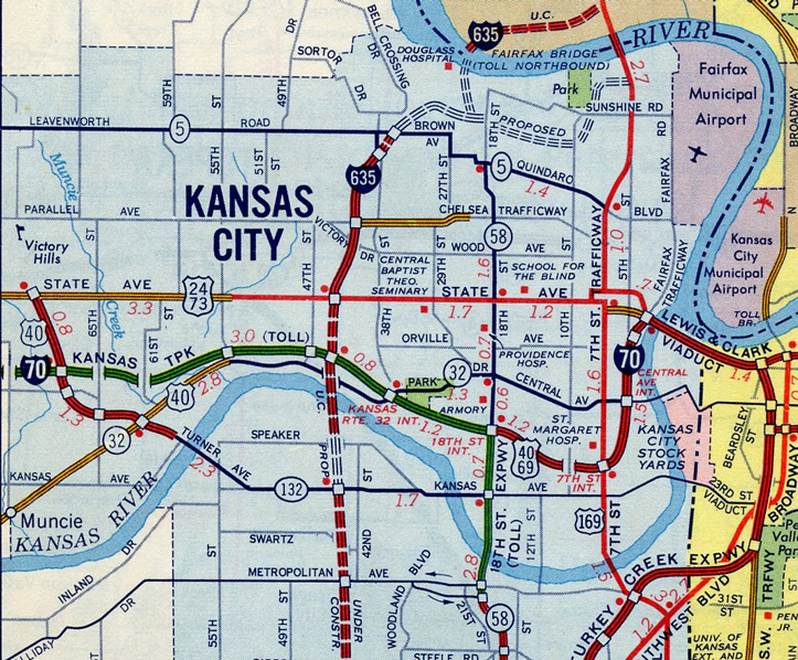
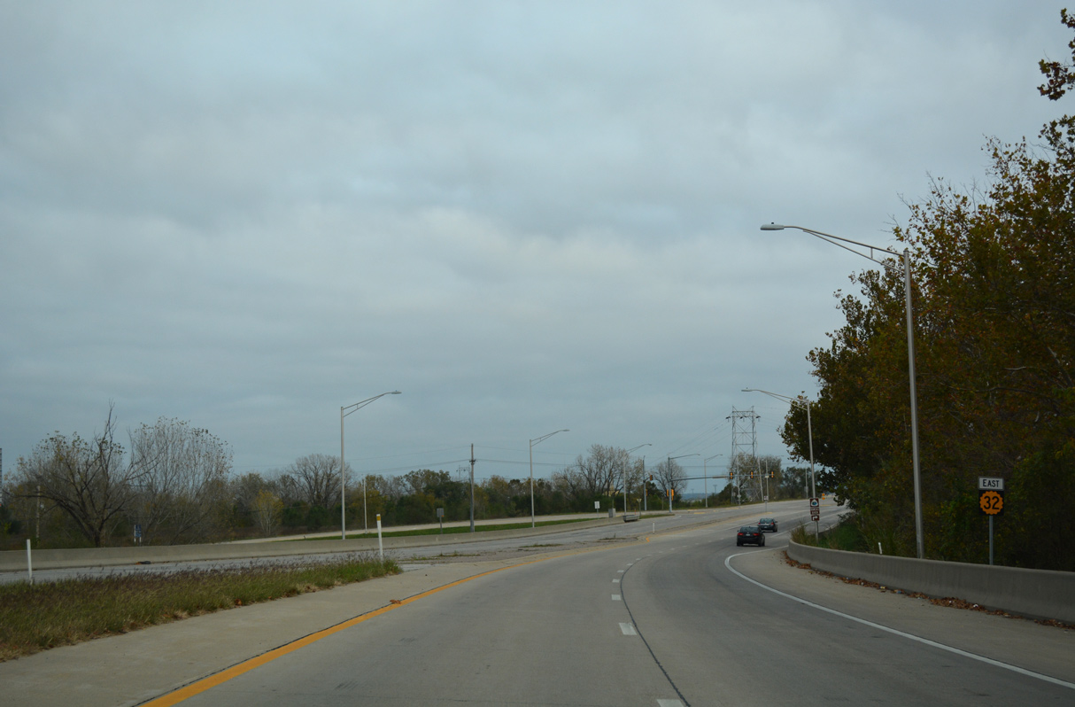
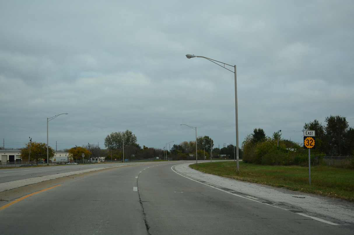
K-32 stretches 32.36 miles east from U.S. 24 outside Lawrence to U.S. 69 (18th Street Expressway) in Kansas City. The state highway runs between I-70 (Kansas Turnpike) and the Kansas River across rural Leavenworth County to the rural city of Linwood. Entering Wyandotte County, K-32 leads east into the city center of Bonner Springs.
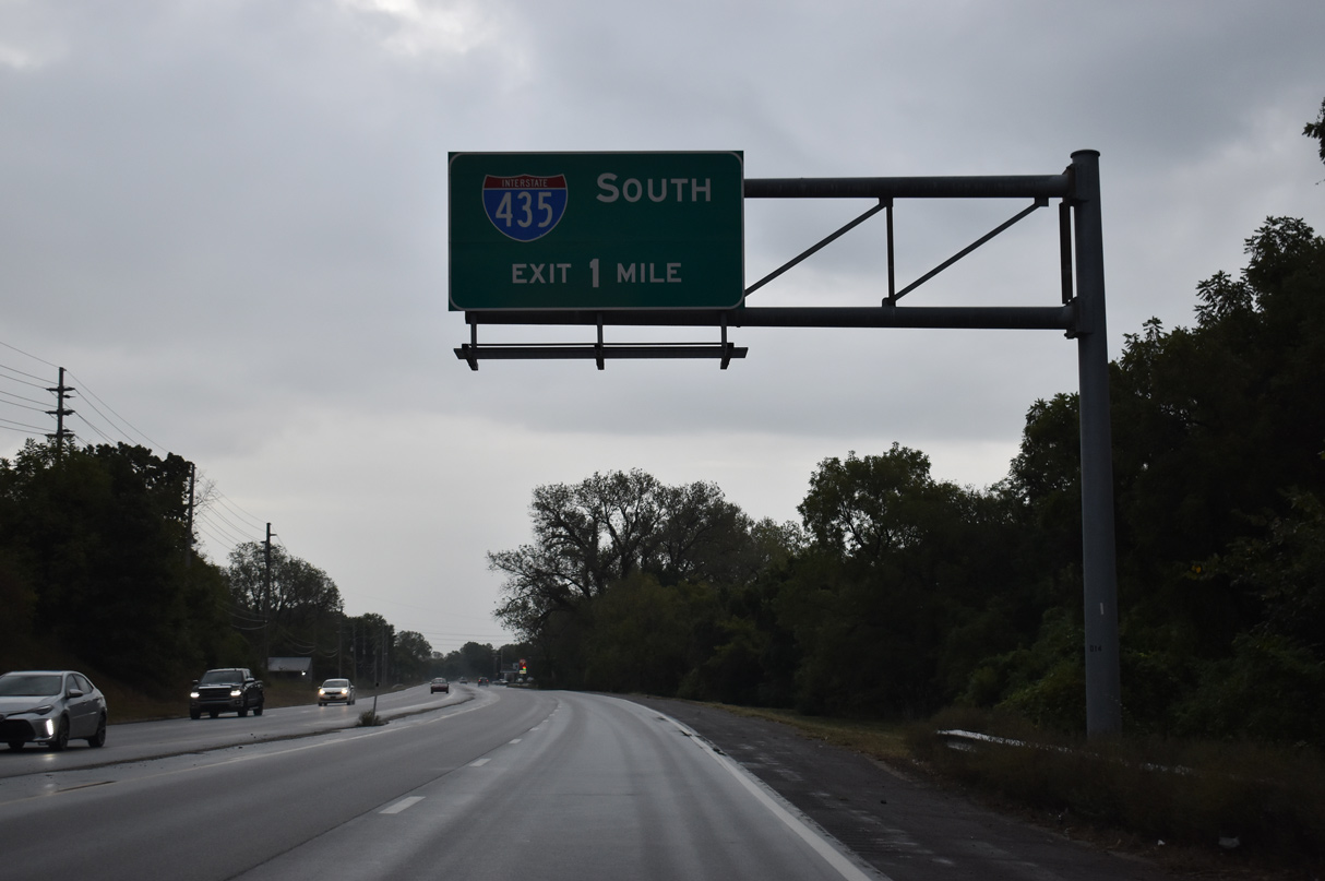
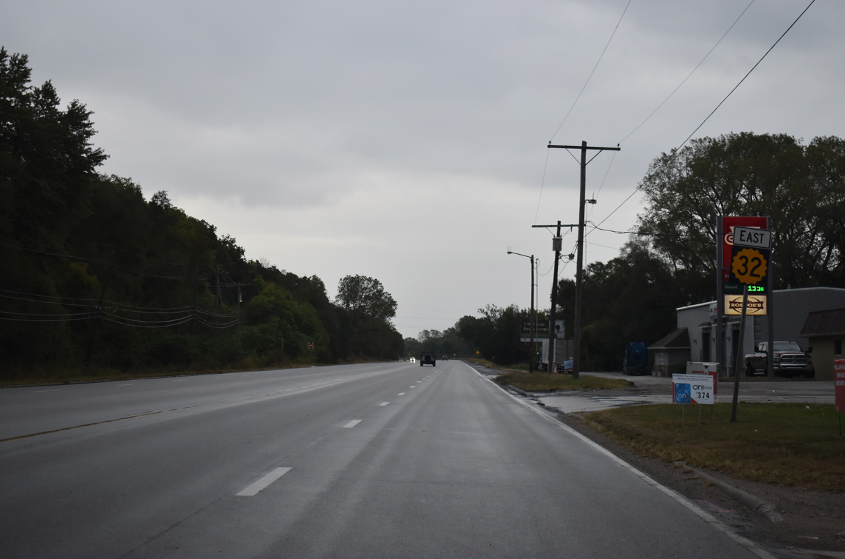
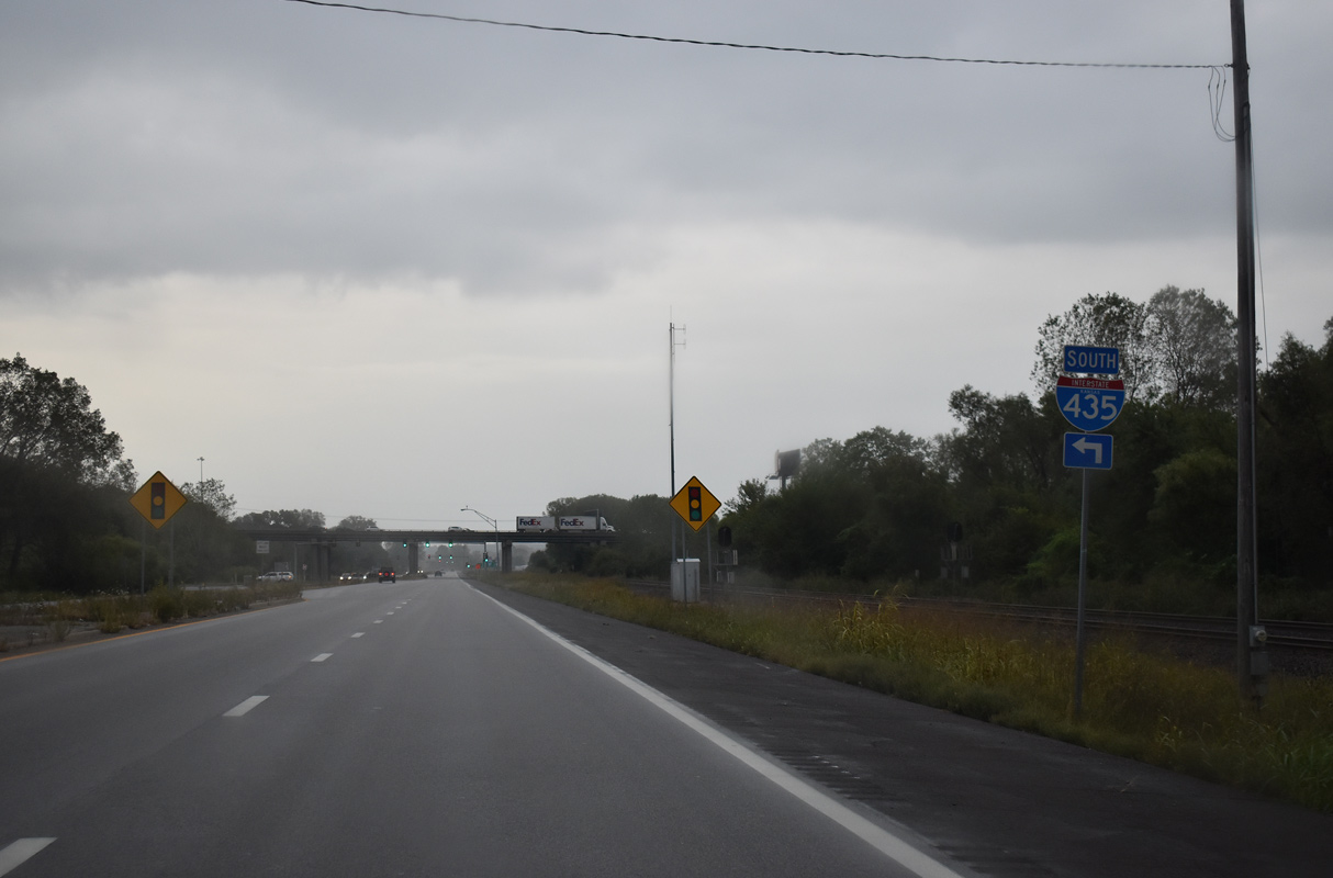
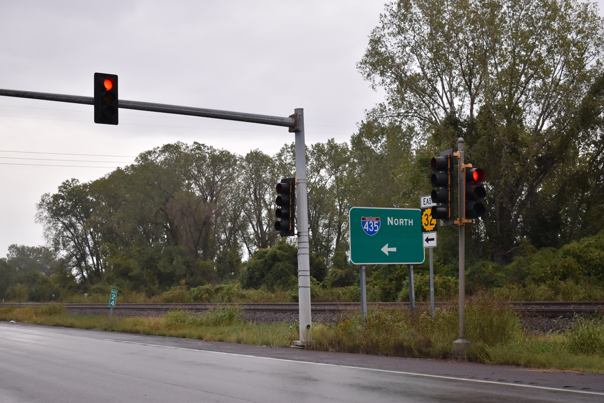
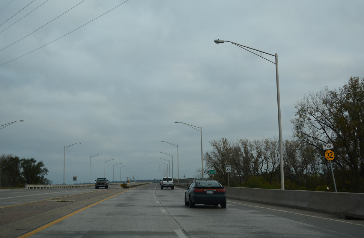
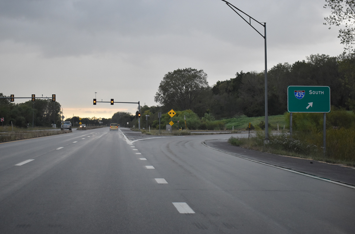
Continuing along a Union Pacific Railroad line and the Kansas River on Kaw Drive, K-32 advances into the city of Edwardsville. K-32 (Kaw Drive) proceeds into Kansas City at Grove Center, just ahead of a folded diamond interchange with Interstate 435. The arterial route serves industrial areas south of the UP Railroad in the Muncie neighborhood east to the Turner Diagonal, an older freeway that was formerly part of U.S. 40.
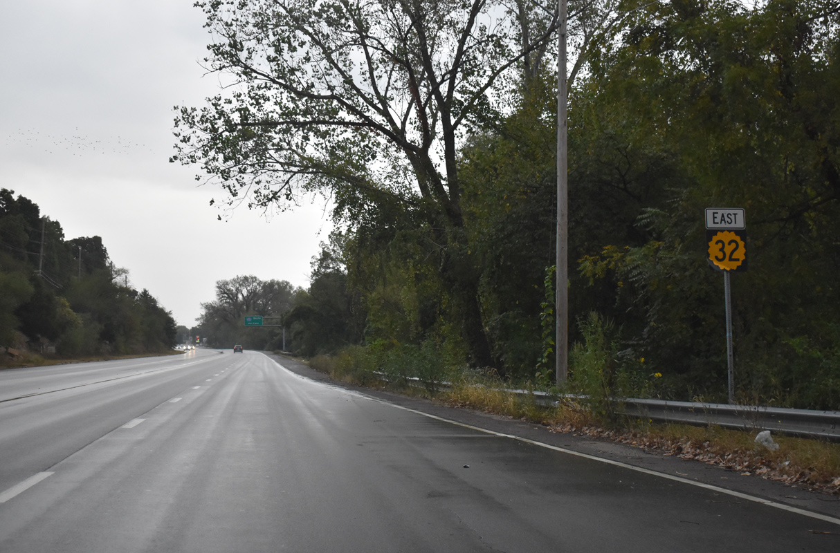
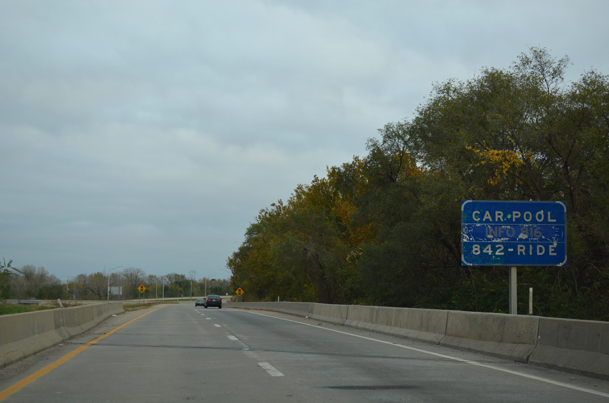
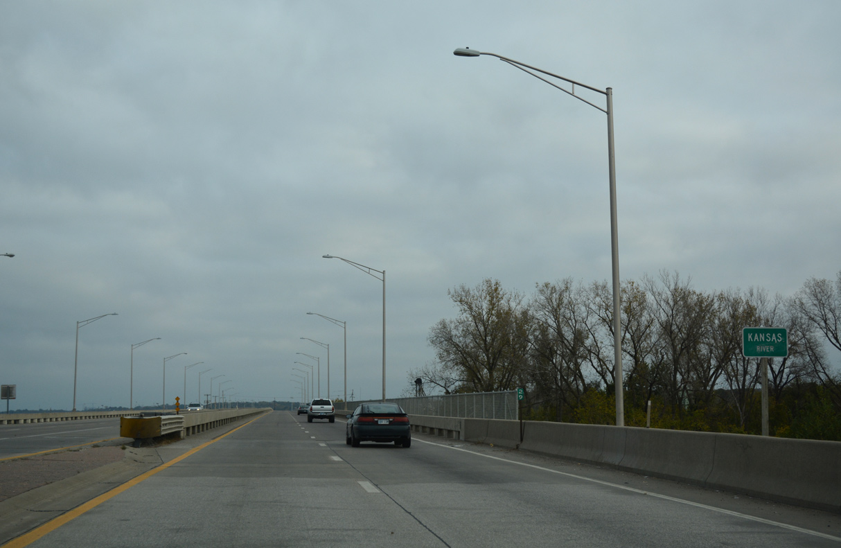
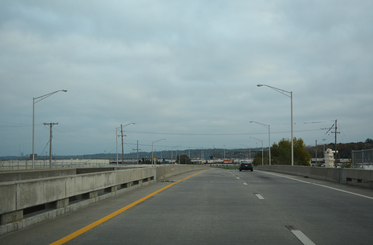
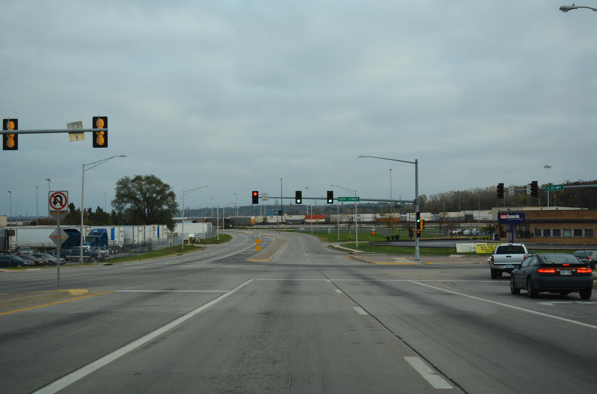
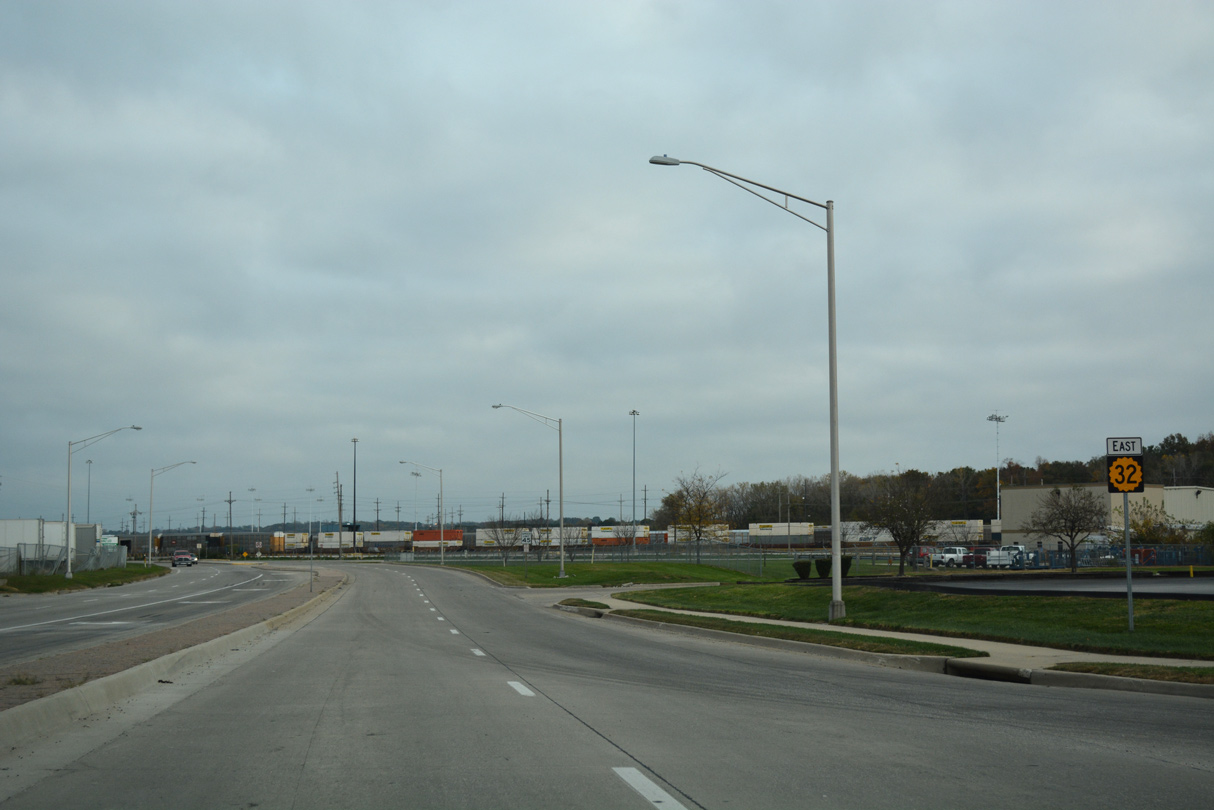
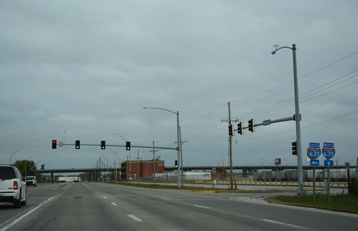
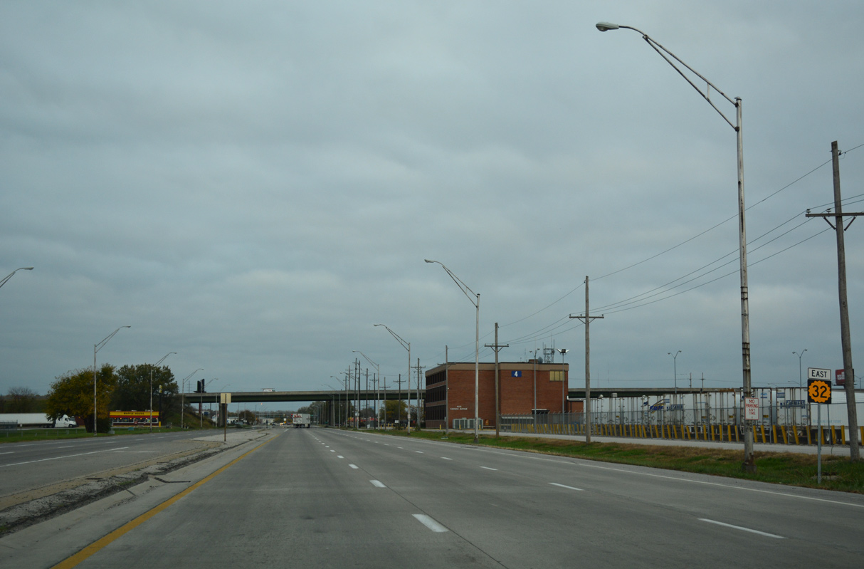
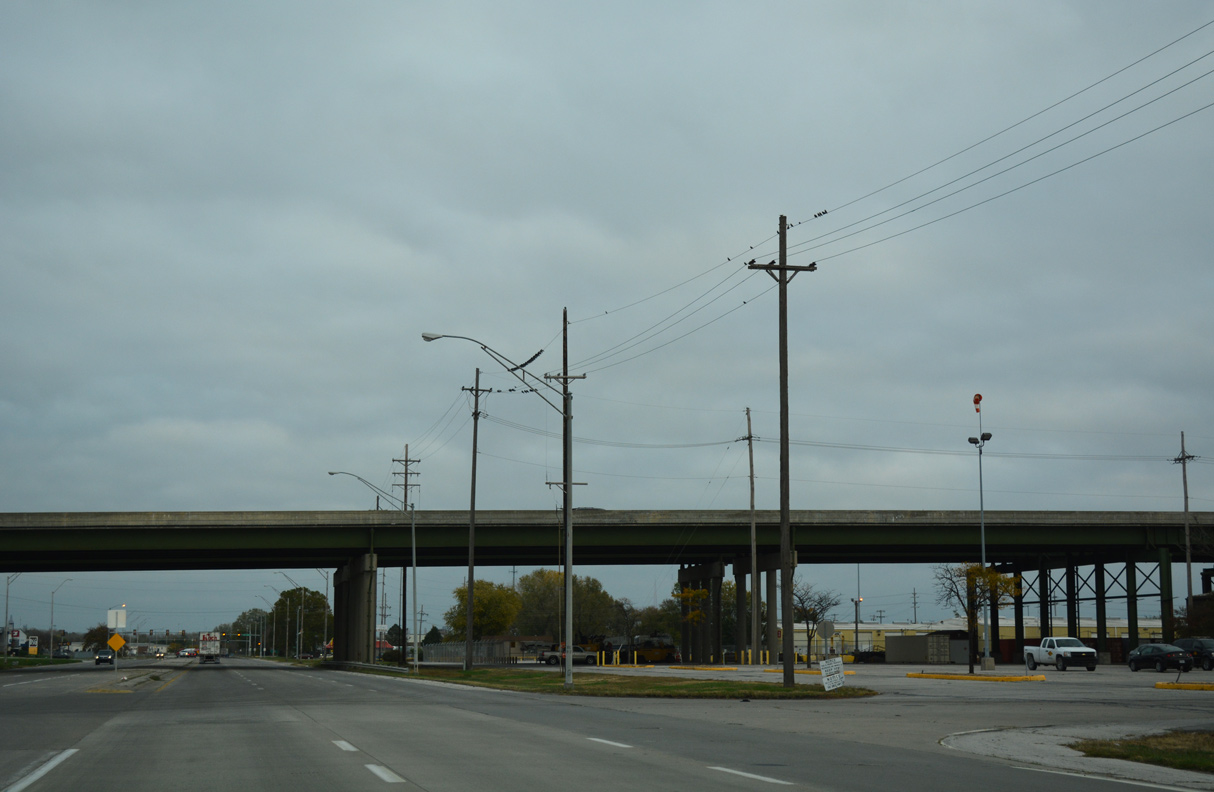
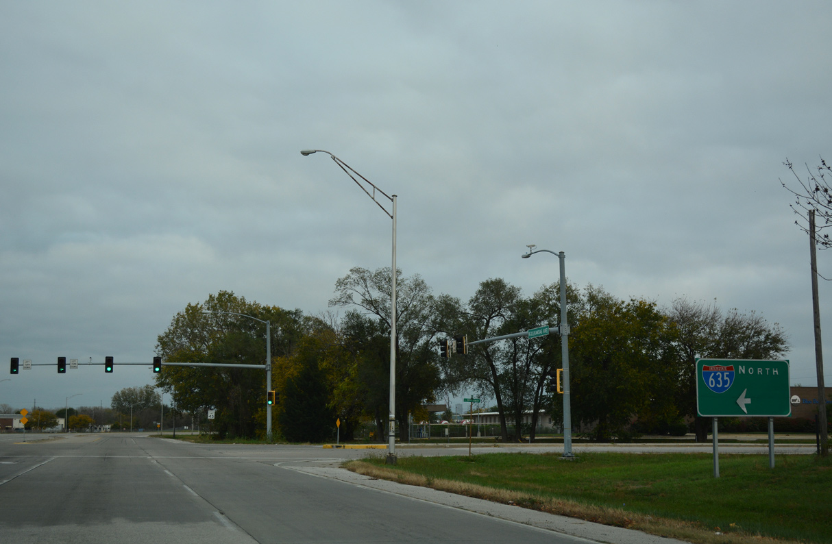
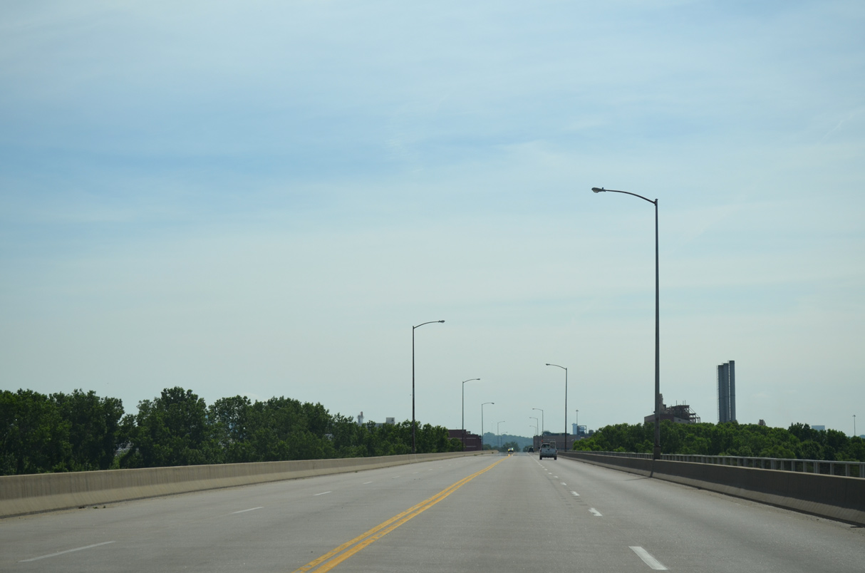
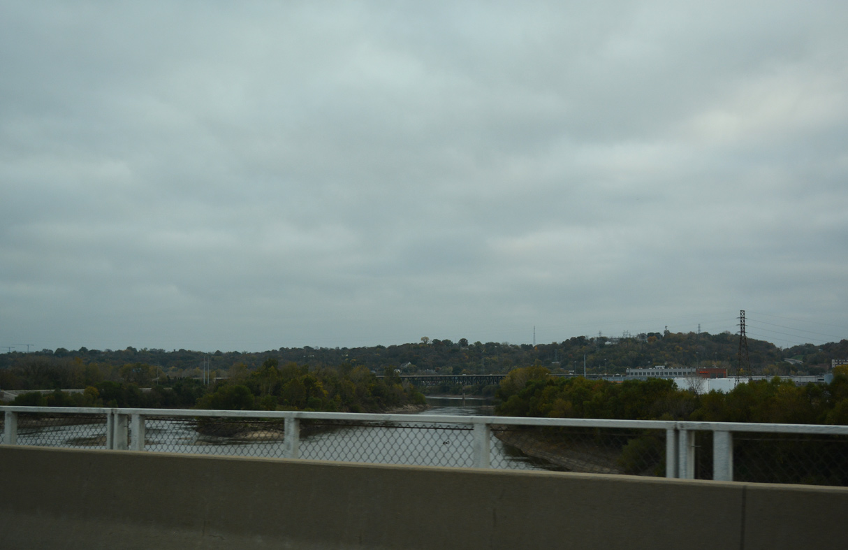
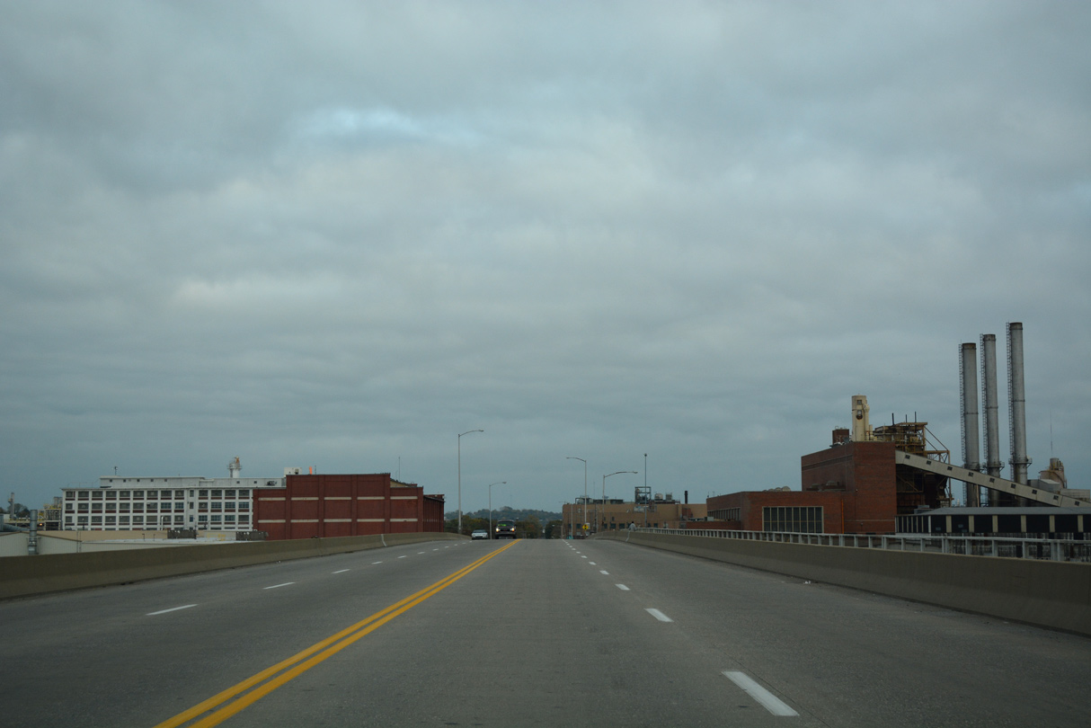
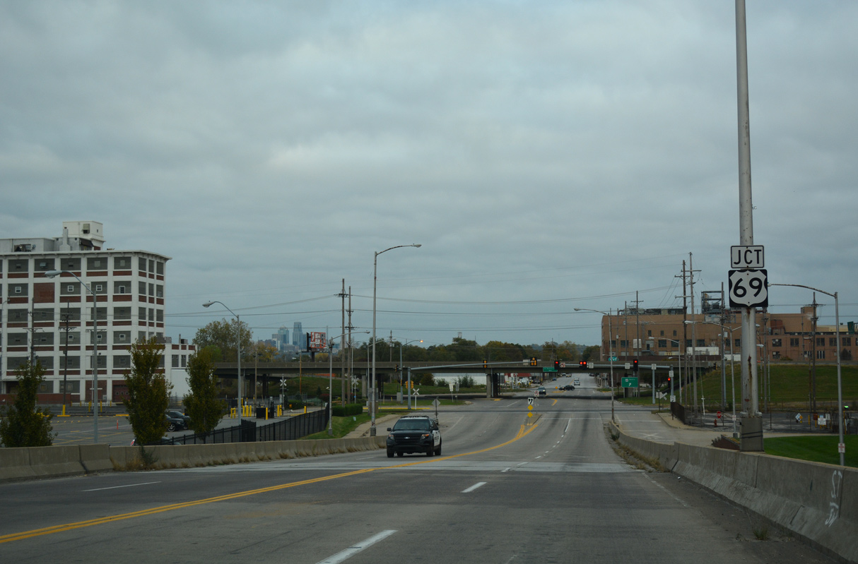
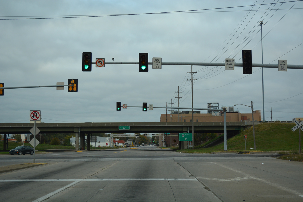
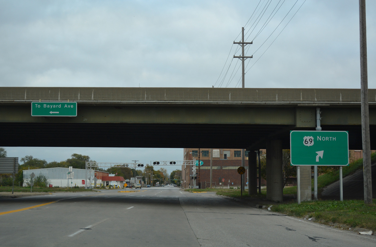
K-32 shifts onto the Turner Diagonal Freeway southeast across the Kansas River ahead of Santa Fe, an area of warehouses and distribution centers. K-32 connects with Interstate 635 north of the sprawling BNSF Railroad Argentine Yard. The route concludes just east of a second Kansas River crossing at the 18th Street Expressway in Armourdale.
The previous alignment of K-32 in Kansas City and former K-132 in 1972.
Historically K-32 in Kansas City continued along Kaw Drive onto Park Drive in the Kensington neighborhood. The state highway shifted southeast at the former five point intersection with N 18th Street (old K-58) from Park Drive onto Central Avenue into the Riverivew neighborhood. K-32 concluded at the exchange with I-70/U.S. 40 west of the Central Avenue Bridge.
The Turner Diagonal Freeway southeast to Santa Fe was designated as K-132 originally. K-132 continued along Kansas Avenue to the 18th Street Expressway (former K-58), as K-32 does now.
10/06/21
10/06/21
10/06/21
10/06/21
10/06/21
10/30/16
10/30/16

10/30/16
10/30/16
10/30/16
10/30/16
10/30/16
10/30/16
10/30/16
10/30/16
10/30/16
10/30/16
10/30/16

06/19/15
10/30/16
10/30/16
10/30/16
06/19/15
10/30/16
10/30/16
10/30/16
10/30/16
10/30/16

10/07/21
10/07/21
10/07/21
10/07/21
Photo Credits:
- ABRoads: 06/19/15, 10/06/21, 10/07/21
- Alex Nitzman, Richie Kennedy: 10/30/16
Connect with:
Page Updated Monday October 25, 2021.