
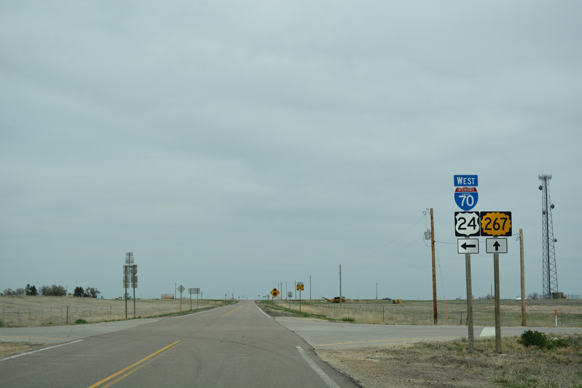
K-267

K-267 is the western most state highway in Sherman County. Forming an L-shaped route for 0.84 miles, K-267 connects Exit 1 of I-70/U.S. 24 with the rural city of Kanorado, just east of the Colorado state line.
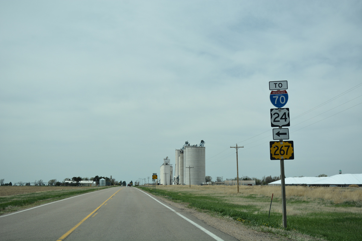
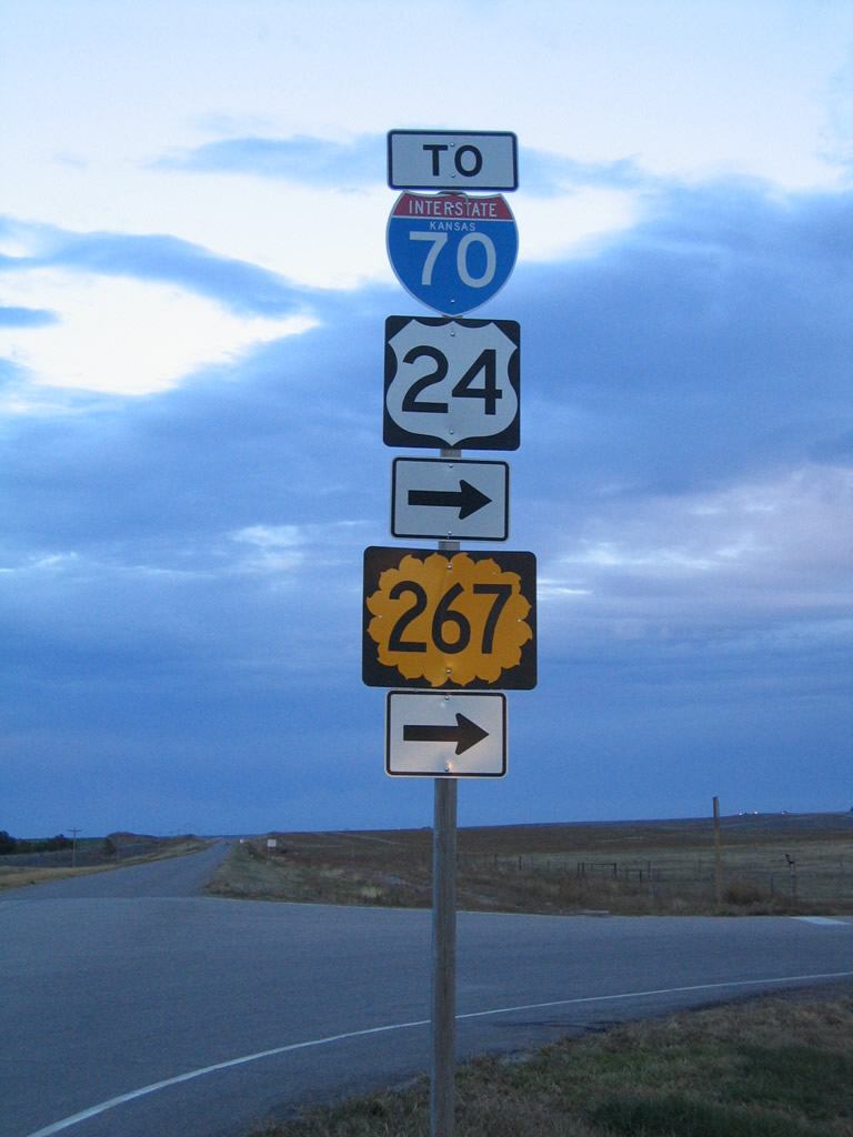
County Road 3 north becomes K-267 at the diamond interchange with Interstate 70/U.S. 24.
04/23/17
Interstate 70/U.S. 24 travel 12.7 miles west to Burlington, Colorado. The two overlap or parallel one another to Limon.
04/23/17
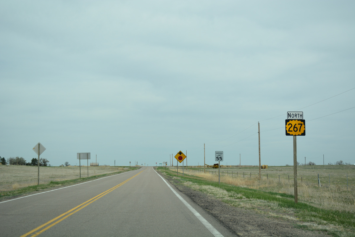
The first confirming marker for K-267 stands just north of Interstate 70.
04/23/17
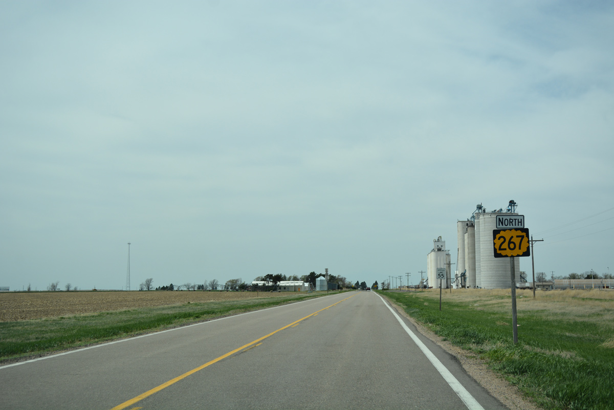
K-267 turns west to overtake Old US Highway 24, 0.33 miles north from Interstate 70.
04/23/17
Old US Highway 24 travels west from the settlement of Ruleton alongside the Kyle Railroad to Kanorado.
04/23/17
A second shield assembly for K-267 appears west of County Road 3.
04/23/17
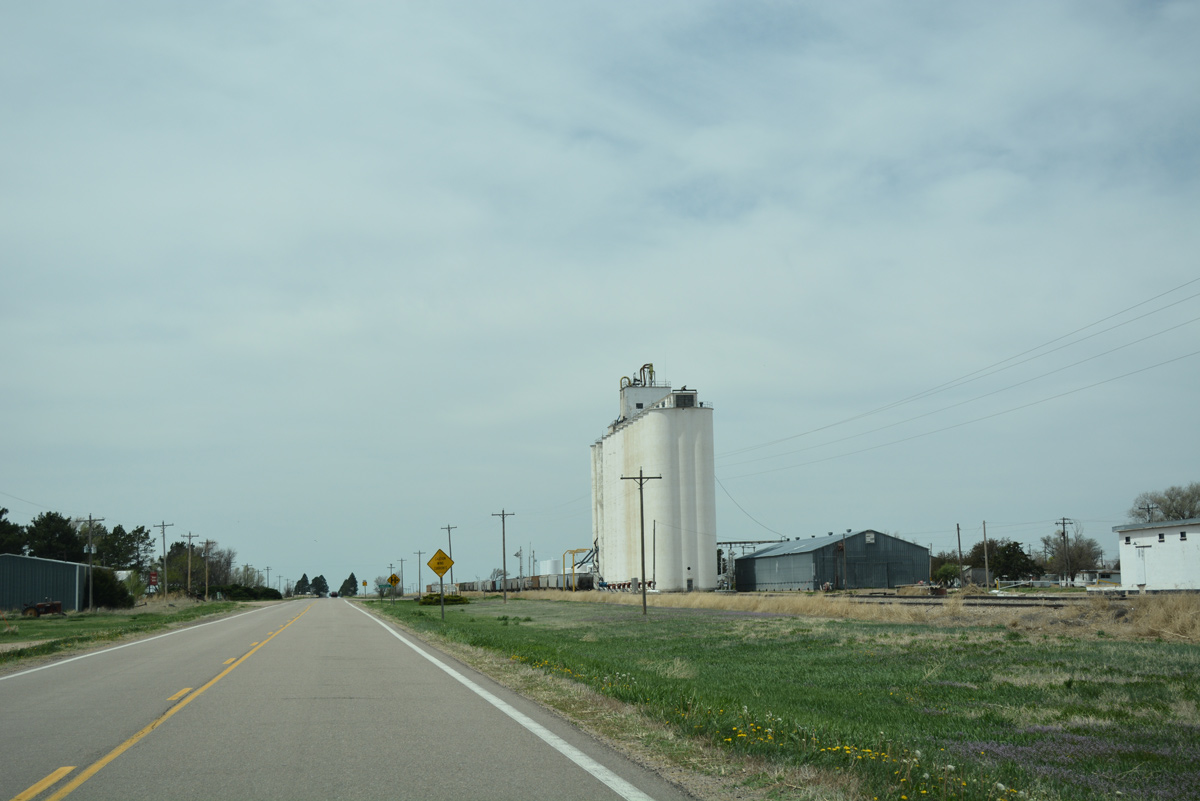
Grain elevators and silos rise along the north side of K-267 and the KYLE Railroad just outside the Kanorado city limits.
04/23/17
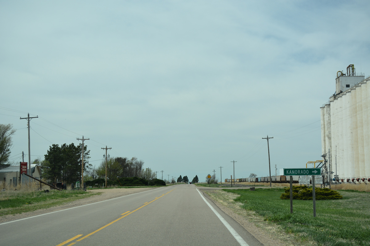
Eastern Avenue runs along the east side of the Kanorado street grid, connecting with Center and Front Streets west to the business district.
04/23/17
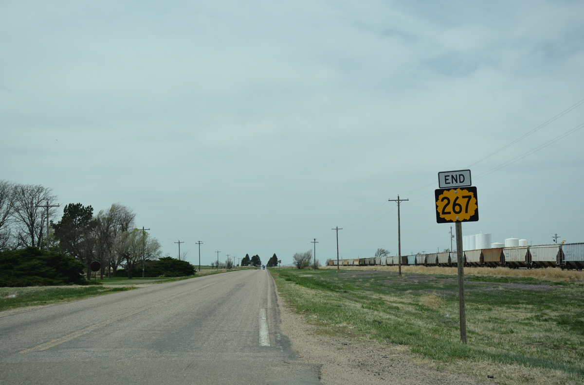
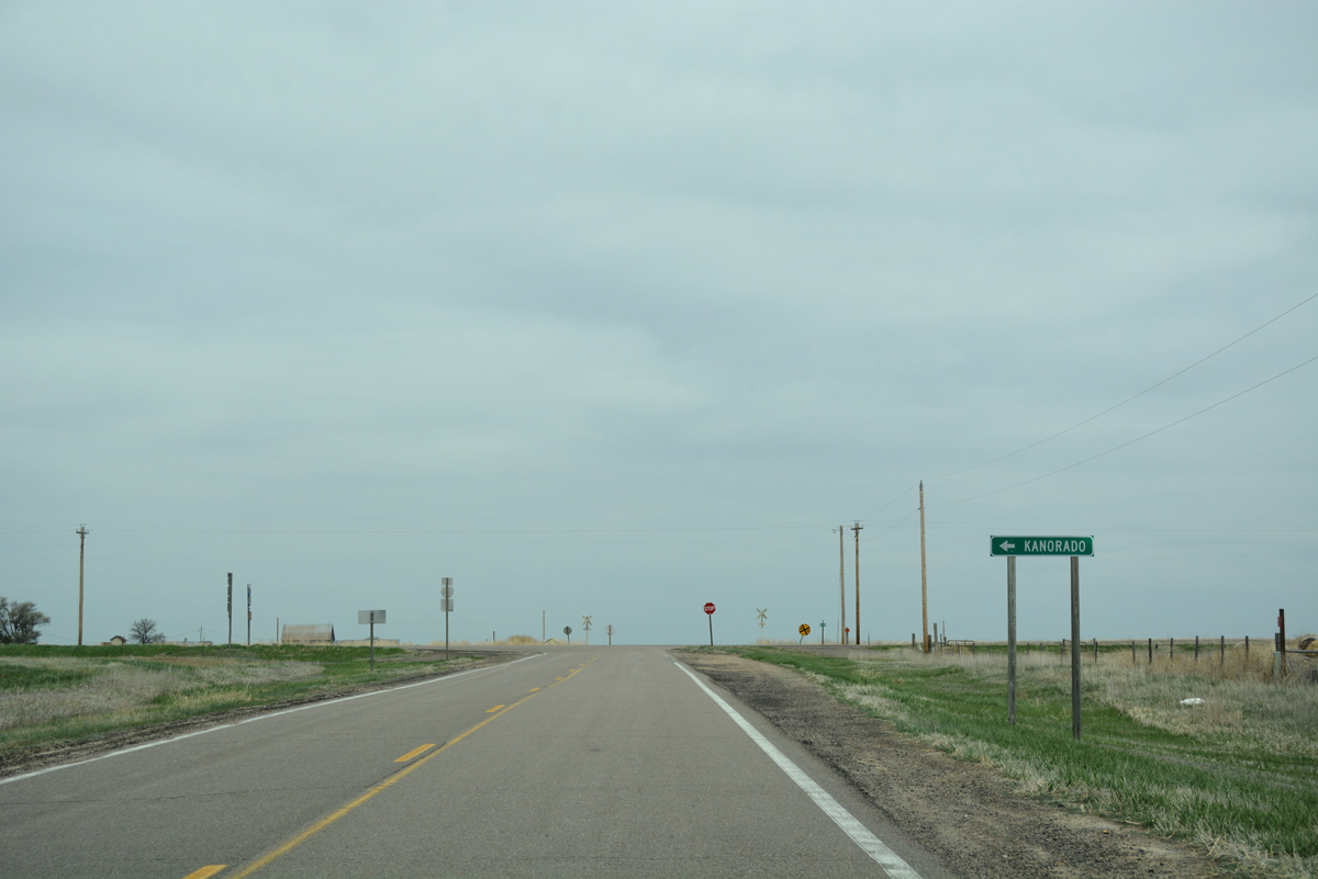
Old US Highway 24 reverts to local maintenance beyond Eastern Avenue as K-267 ends.
04/23/17
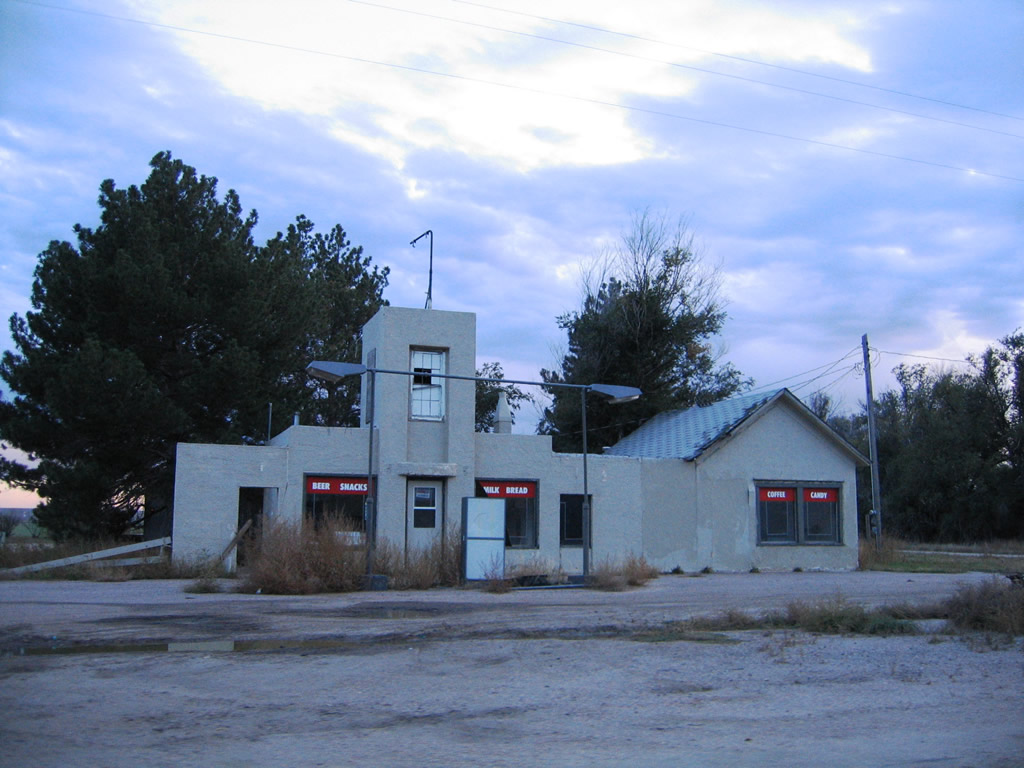
An abandoned gas station and convenience store at the southeast corner of K-267 and Eastern Avenue at Kanorado.
10/17/04
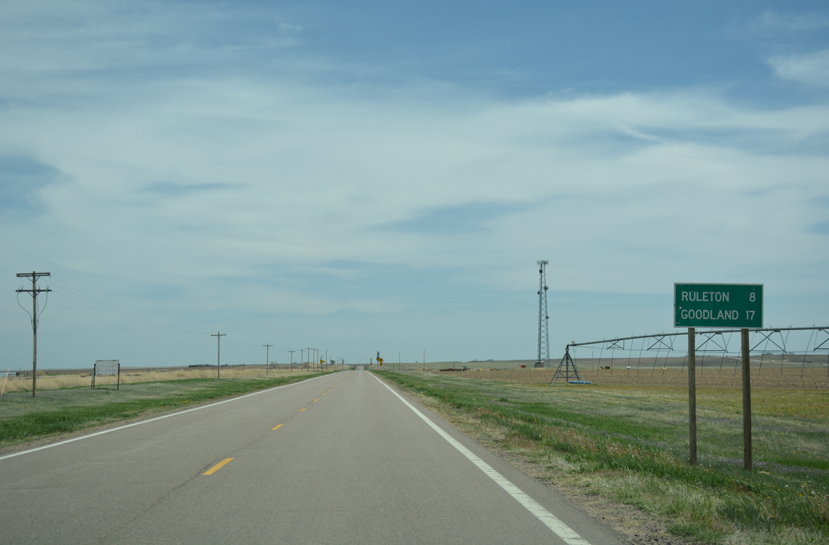
Old US Highway 24 continues east from K-267 as a local route eight miles to Ruleton and 17 miles to the Sherman County seat of Goodland.
04/23/17
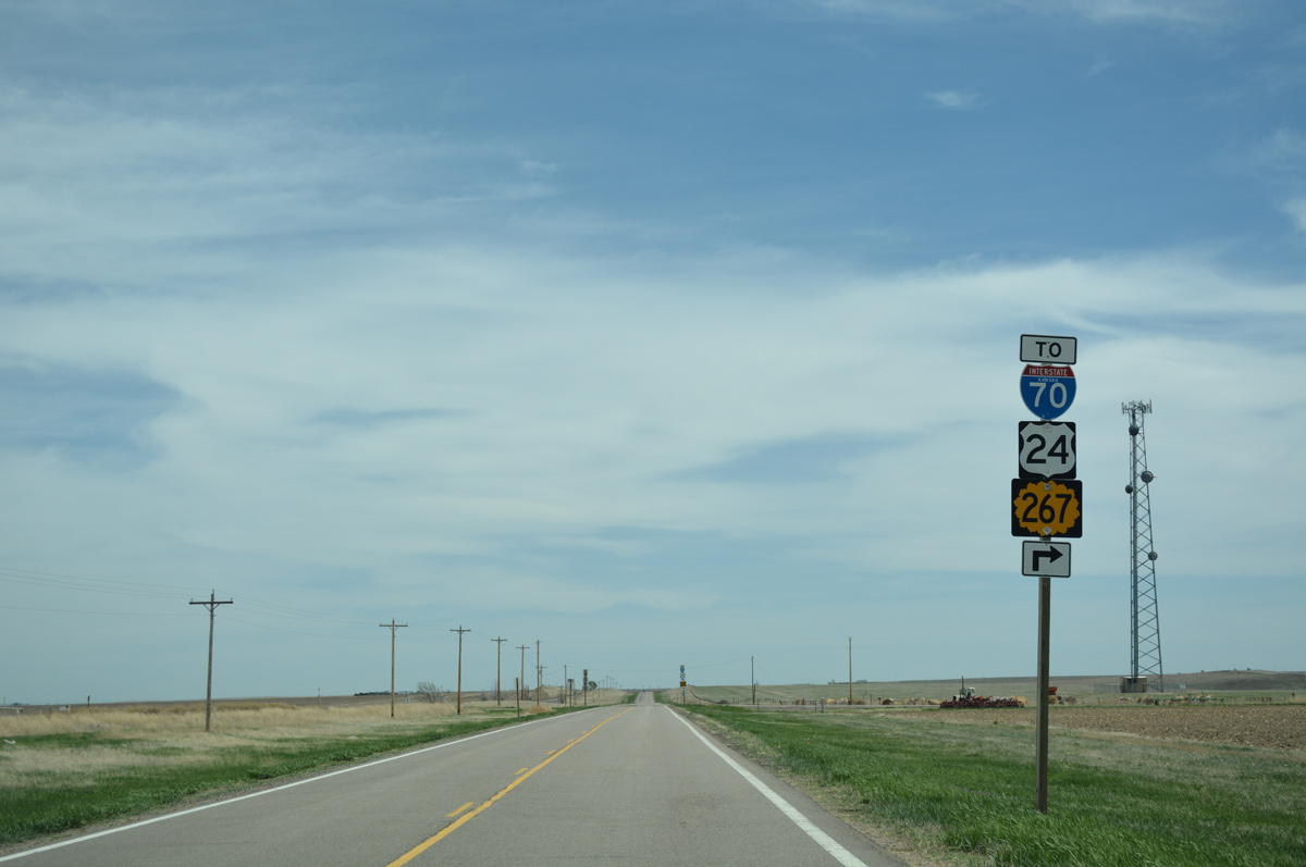
Approaching County Road 3, where K-267 turns south to connect with I-70/U.S. 24.
04/23/17
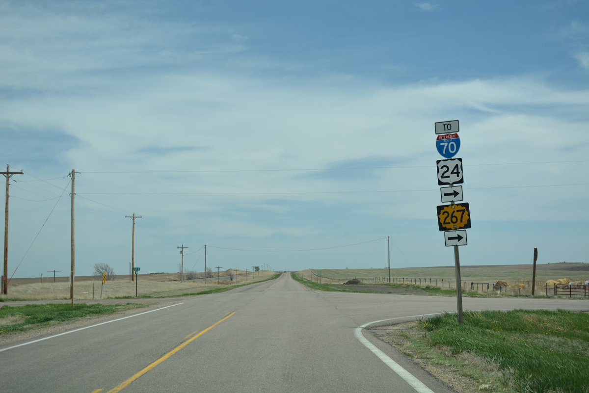
CR 3 originates in agricultural areas, five miles north of Old US Highway 24 and K-267. K-267 supersedes the road south to the ramps with Interstate 70/U.S. 24.
04/23/17
10/17/04
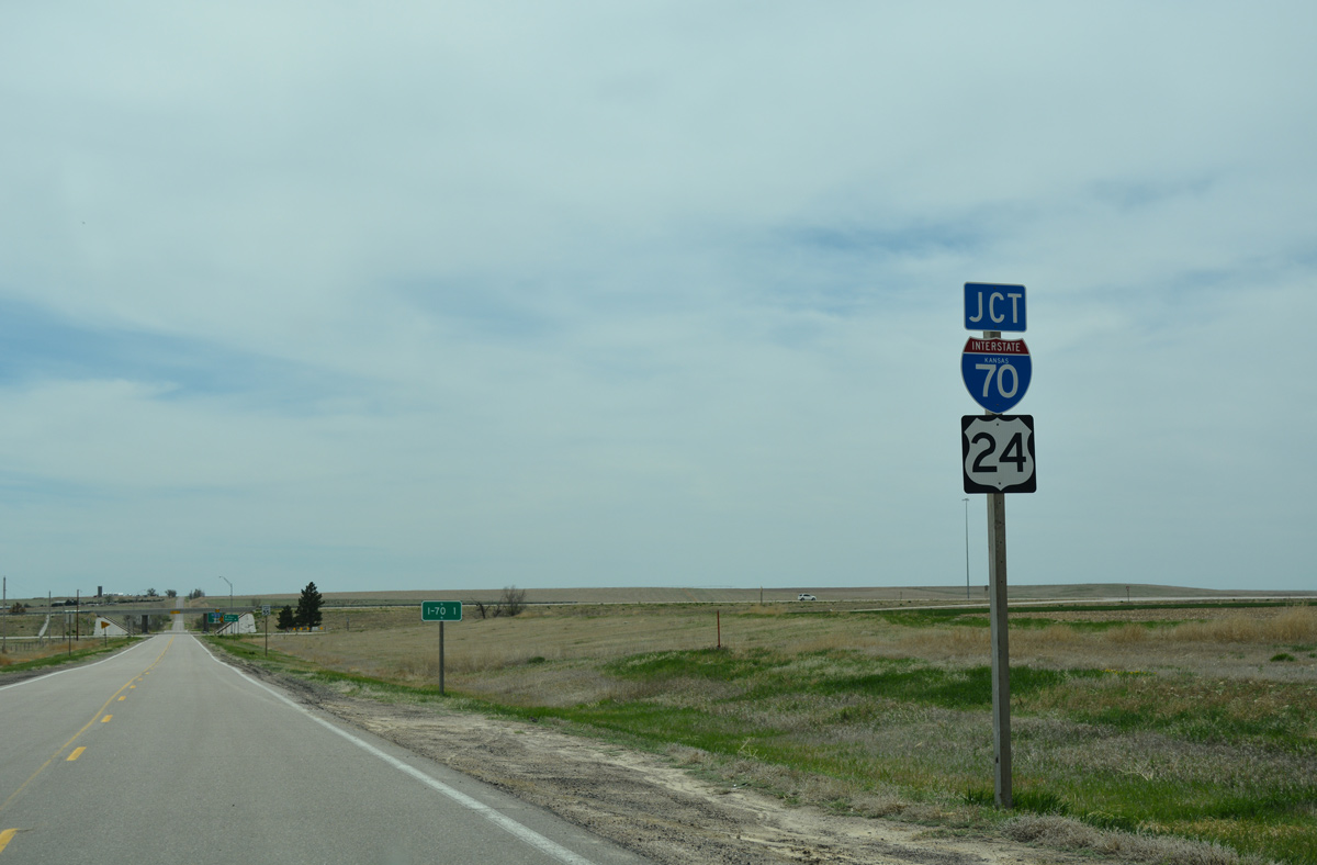
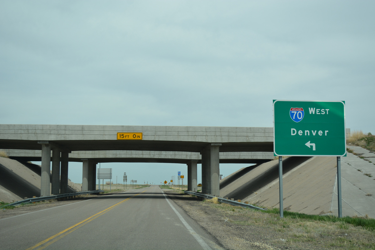
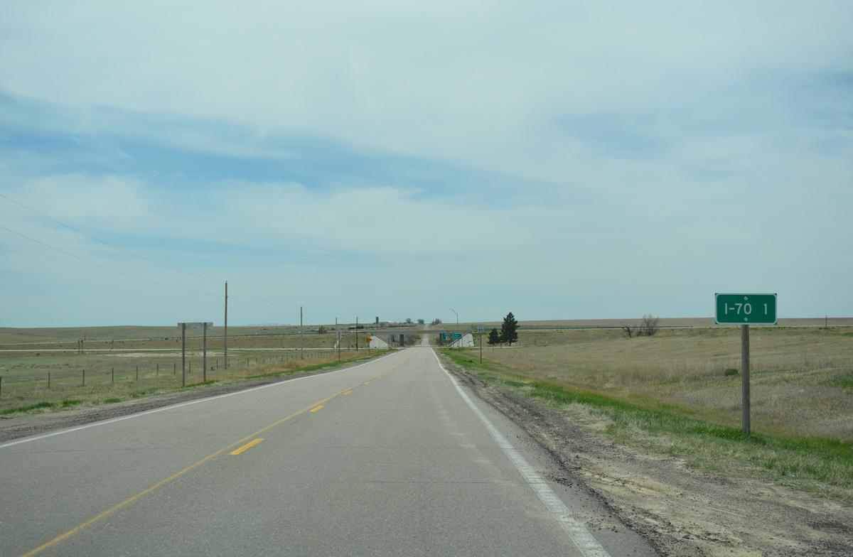
Although listed as one mile away, K-267 travels just a third of mile to the center line of Interstate 70 at Exit 1.
04/23/17
Interstate 70 ventures 168 miles west to reach the Denver city limits at I-225.
04/23/17
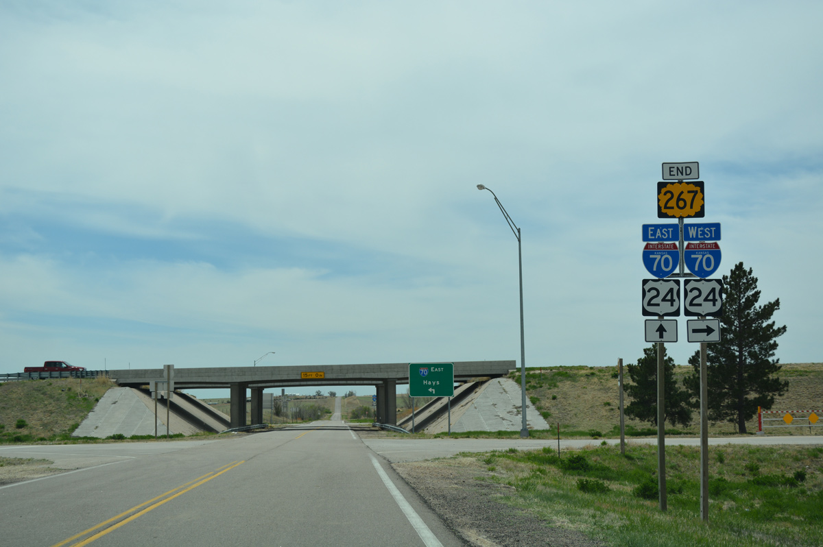
An end shield for K-267 stands at the diamond interchange with Interstate 70/U.S. 24.
04/23/17
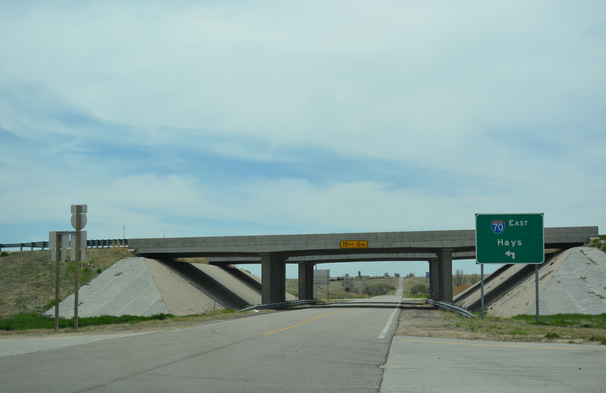
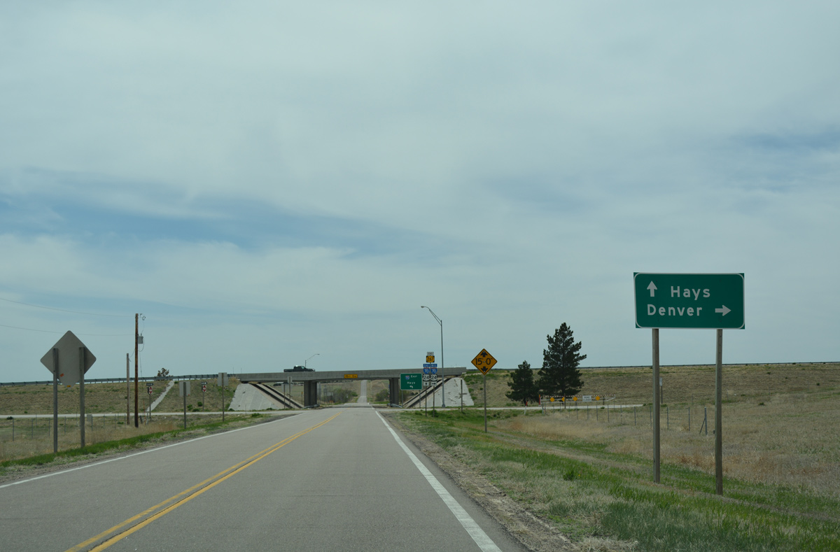
East from K-267, Interstate 70 travels 158 miles to Hayes. Signs along the freeway in Colorado reference Salina which is 251 miles from here.
04/23/17
Photo Credits:
- ABRoads: 04/23/17
- AARoads: 10/17/04
Connect with:

Page Updated Tuesday May 09, 2017.