
Lloyd Expressway East

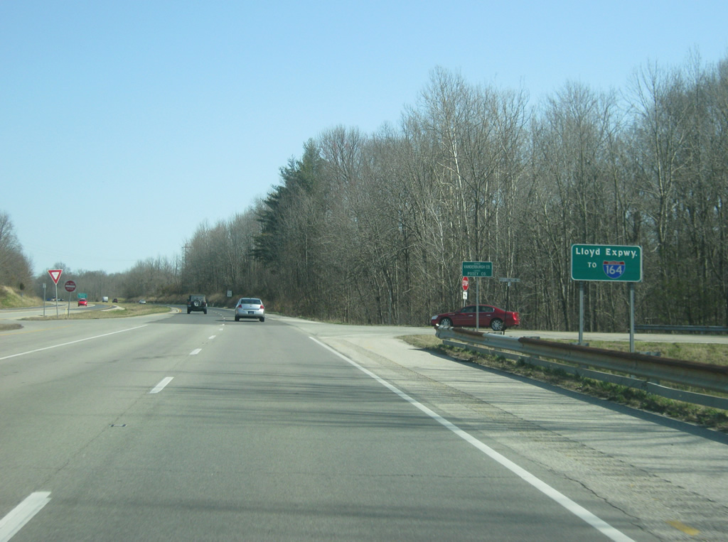
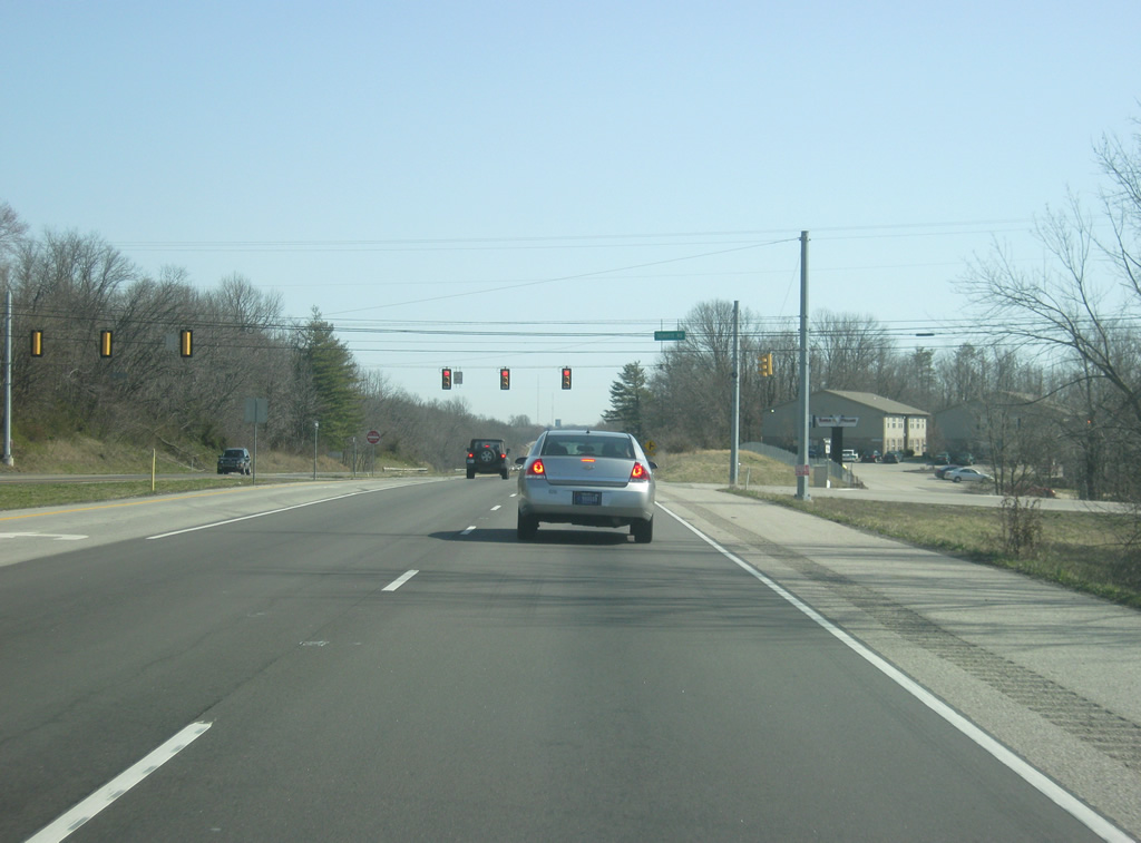
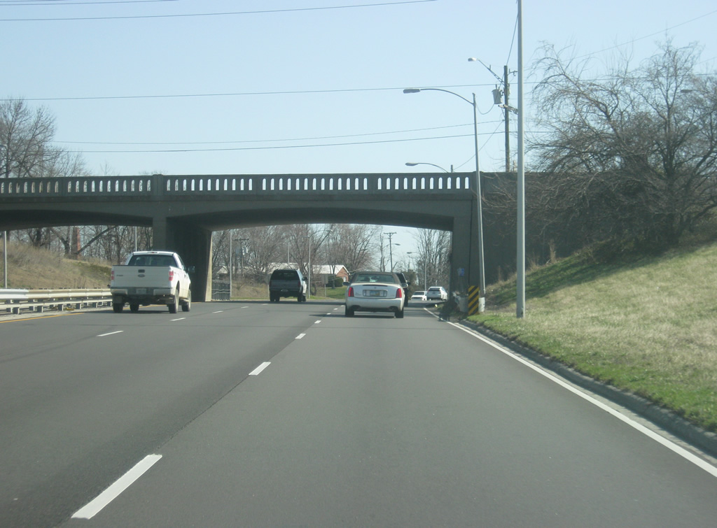
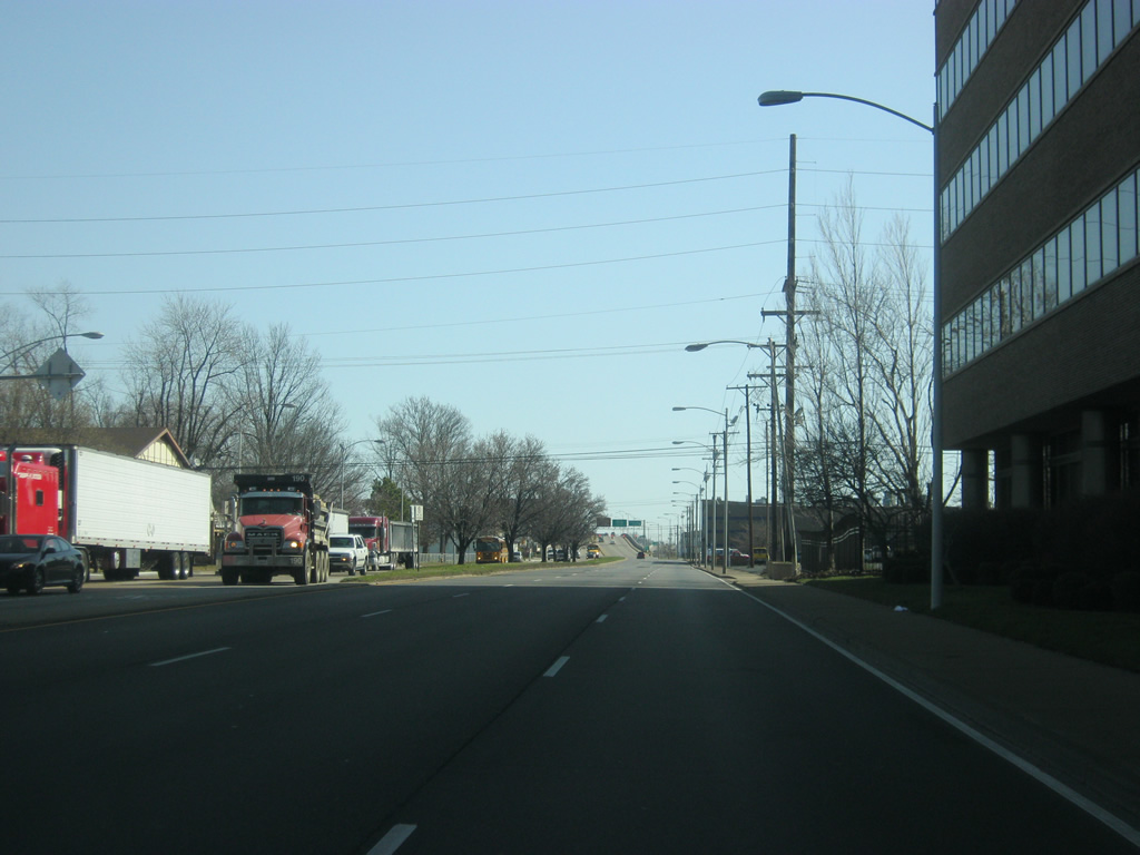
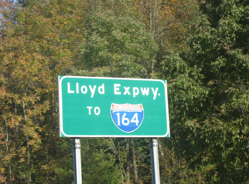
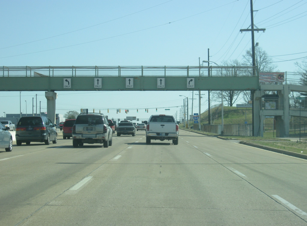
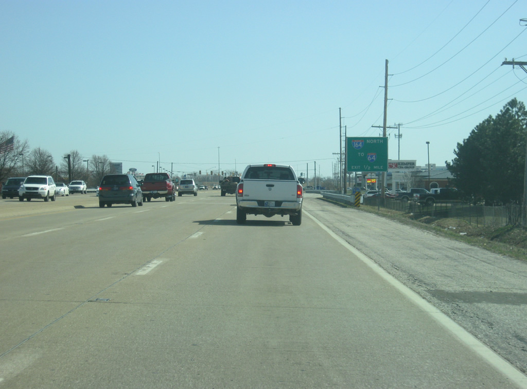
The Lloyd Expressway officially begins at the county line with Vanderburgh County (population 179,703). Vanderburgh County is the economic and cultural hub of the Tri-State area and is the seventh largest county by population in Indiana, and the eighth smallest in size. A guide sign directs motorists toward Interstate 164 (future Interstate 69) by taking the Lloyd east across the county.
03/06/12
10/11/08
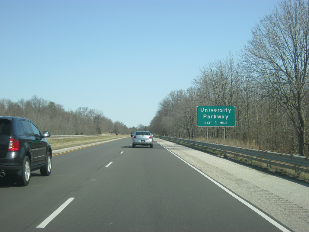
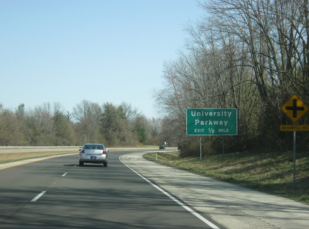
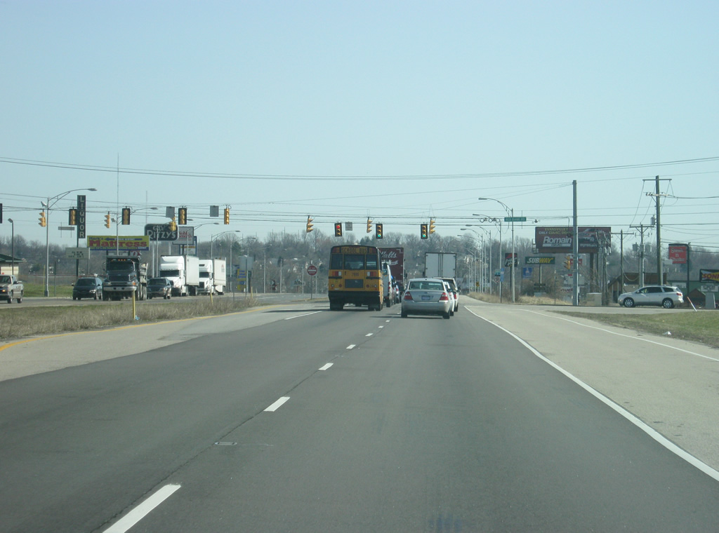
East of the county line, a guide sign announces the first interchange along the Lloyd Expressway, for University Parkway, a four lane expressway that connects the Lloyd Expressway (SR 62) with the Diamond Avenue Expressway (SR 66). The parkway is part of a new highway that is expected to connect the Lloyd and Diamond Expressways with Interstate 64, although there is no projected date for when the parkway will be finished that far north.
03/06/12
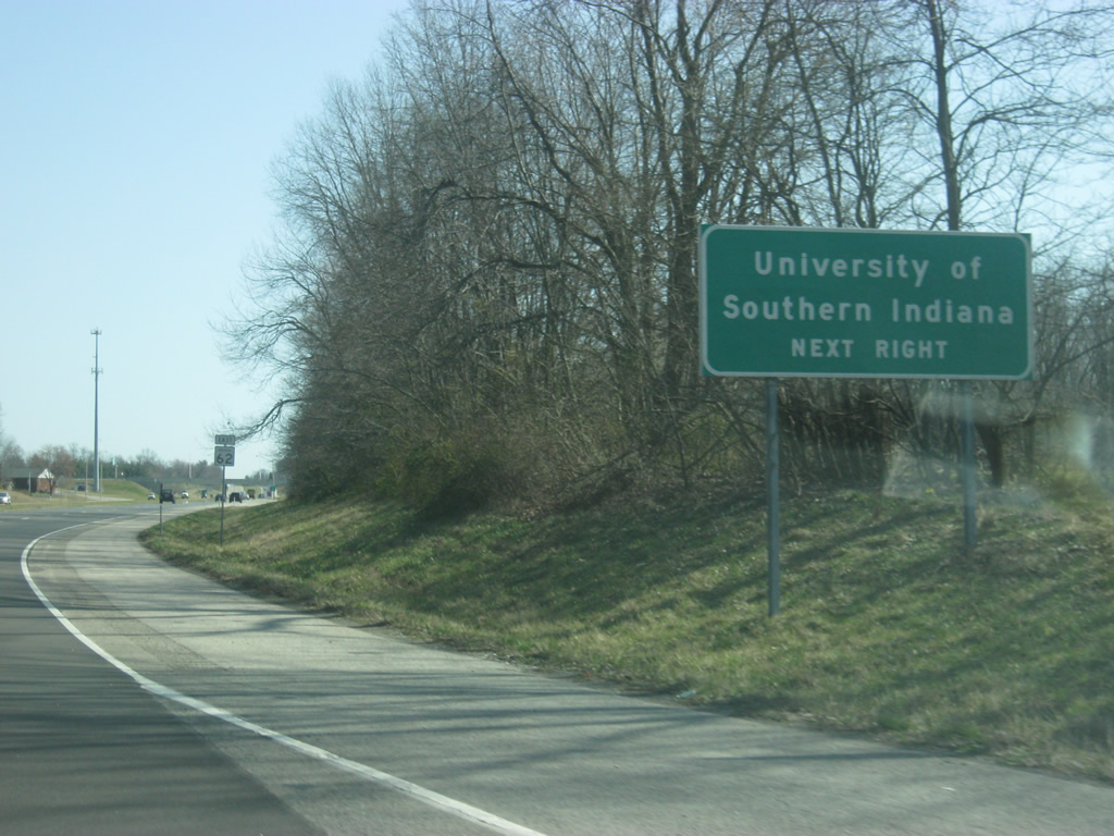
Approaching the interchange with the University Parkway is a sign announcing the main attraction in the area, the University of Southern Indiana. USI, as it's usually called, was formed as a auxiliary campus to Indiana State University (based out of Terre Haute) and has grown to become its own institution. It is primarily a commuter campus for the Southwest Indiana region with most of its students living within Vanderburgh County.
03/06/12
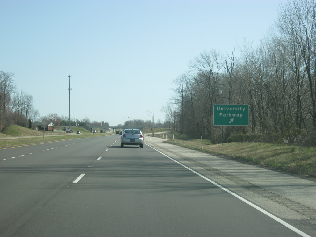
The University Parkway interchange is a diamond interchange that provides the main gateway into the University of Southern Indiana campus. University Parkway was proposed as a four lane road but for a time served only as a boulevard through the USI campus. In 2009 it was extended north to Upper Mount Vernon Road and in 2012 up to Diamond Avenue Expressway (SR 66). The highway serves to provide a connection between both highways on the far west side of Evansville, with access to Interstate 64 available via SR 66 and SR 65 or U.S. 41.
03/06/12
Up next is the stoplight intersection with Schutte Road, which serves some subdivisions in the area adjacent to the University of Southern Indiana campus. Even though USI is primarily a commuter campus, more student housing has been created near the campus in recent years.
03/06/12
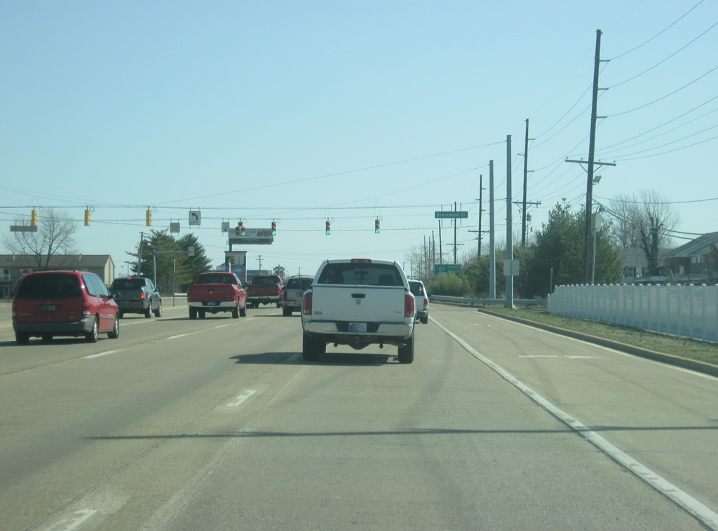
Heading east from the Schutte Road intersection, the Lloyd Expressway (SR 62) is only three miles away from the Evansville central business district.
03/06/12
Climbing up a hill, the Lloyd Expressway (SR 62) enters the Westside commercial district of Evansville with its first intersection at Boehne Creek Road. These shopping centers also serve the nearby University of Southern Indiana and will see an influx of traffic with students during the school year.
03/06/12
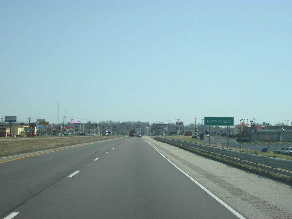
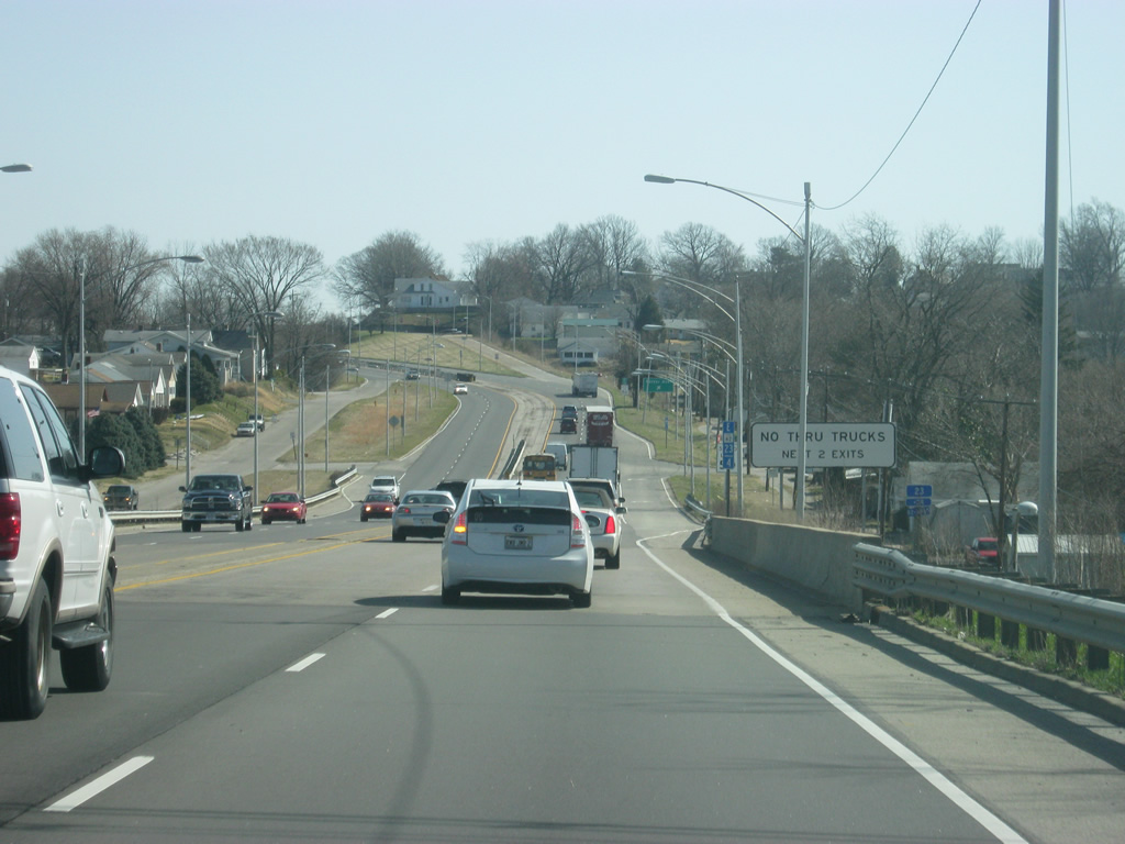
East of the Boehne Camp Road intersection, the Lloyd Expressway (SR 62) enters the city of Evansville (population 117,429). Evansville, Indiana's third largest city, takes up most of the southern part of Vanderburgh County and is the major service and cultural center for the area.
03/06/12
Now in the heart of the west side commercial district along the Lloyd Expressway (SR 62) at Red Bank Road. This area is the first stretch of motorist services since Mount Vernon, so it also serves the residents of Posey County who often come to these shopping centers to avoid the more crowded commercial district on the east side.
03/06/12
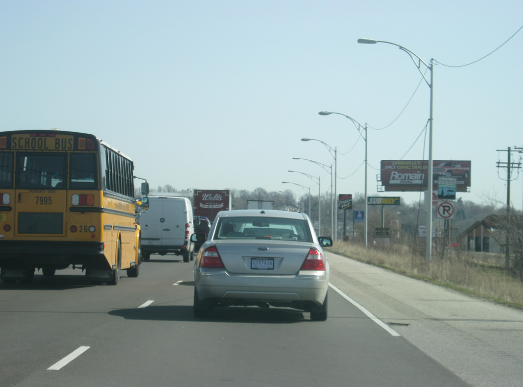
East of the Red Bank Road intersection, an Ohio River Scenic Byway highway marker reminds motorists of the nationally-designated highway that the Lloyd Expressway is a part of along its routing with SR 62. Going for 303 miles along the Indiana side of the Ohio River, the byway provides a scenic drive across Southern Indiana.
03/06/12
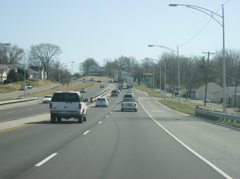
As the Lloyd Expressway (SR 62) prepares for its final stretch into Evansville's downtown, the highway passes by the intersection with Rosenberger Avenue, which marks the eastern edge of the West side commercial district.
03/06/12
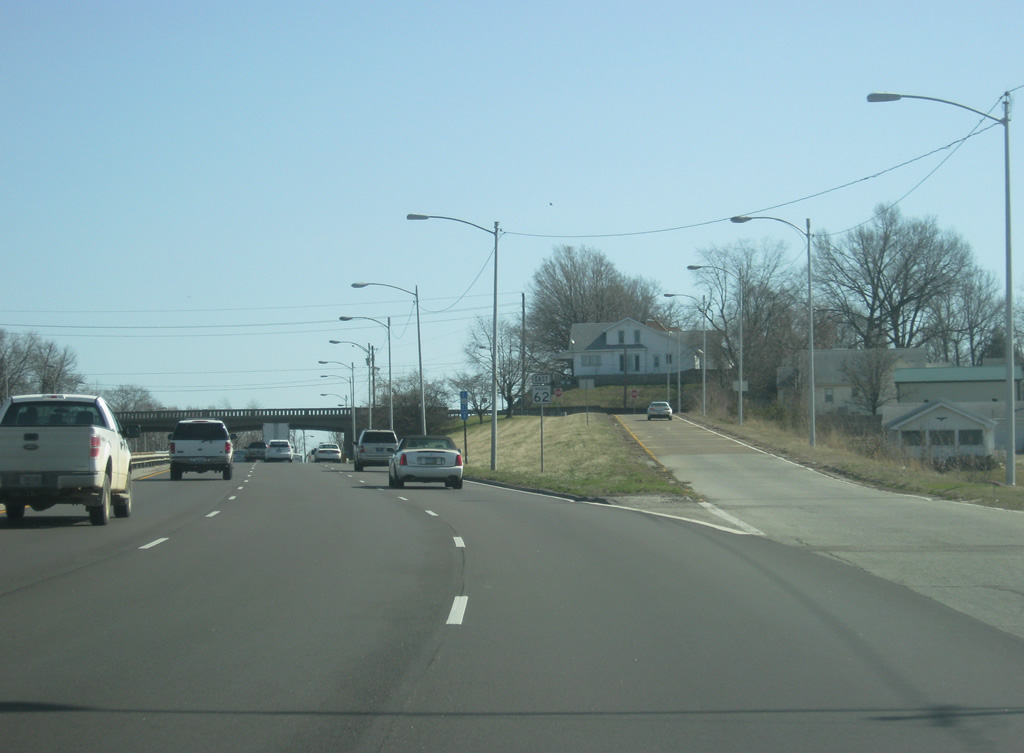
A 2/10 mile marker shows SR 62's distance from the Wabash Memorial Toll Bridge. Throughout the Evansville area, these mile markers are used along the Interstate, U.S. and state highways.
03/06/12
For the next mile, the Lloyd Expressway (SR 62) assumes a freeway-like standard. The upcoming stretch of expressway is actually the oldest part of the highway. And because of the nature of the interchanges, trucks are prohibited from exiting off of the highway.
03/06/12
The exit ramps in this area are very localized and serve little traffic other than those living in this area. At-grade junctions are limited to turn-offs without crossover traffic, allowing the Lloyd to remain free-flowing through the neighborhood. The guardrail in the middle is located at the crossover with Ingel Avenue, preventing traffic from crossing the highway.
03/06/12
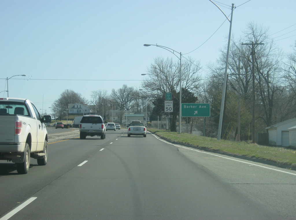
The Lloyd Expressway (SR 62) enters a parclo interchange with Barker Avenue. Barker Avenue serves the west side of Evansville, stretching from Broadway Avenue near the Ohio River and heading north across the Lloyd and up to Mt. Vernon Avenue.
03/06/12
As the Barker Avenue off-ramp departs, the Lloyd Expressway (SR 62) gains an extra lane to become six lanes in width as it nears the Downtown area of Evansville.
03/06/12
A view of the Barker Avenue overpass, representing the older 1960s style of this stretch of the Lloyd Expressway.
03/06/12
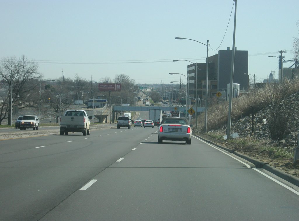
Descending toward the intersection with St. Joseph Avenue and the central part of Evansville, which is less hilly than the west side. The large building to the right is the Mead Johnson Nutritionals Plant.
03/06/12
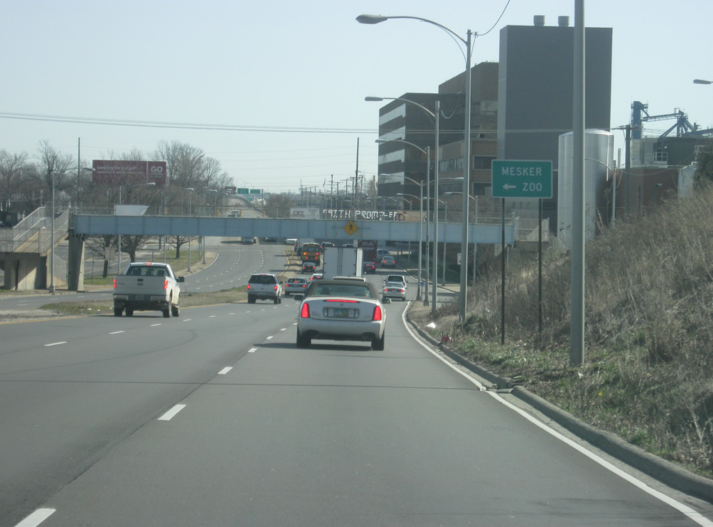
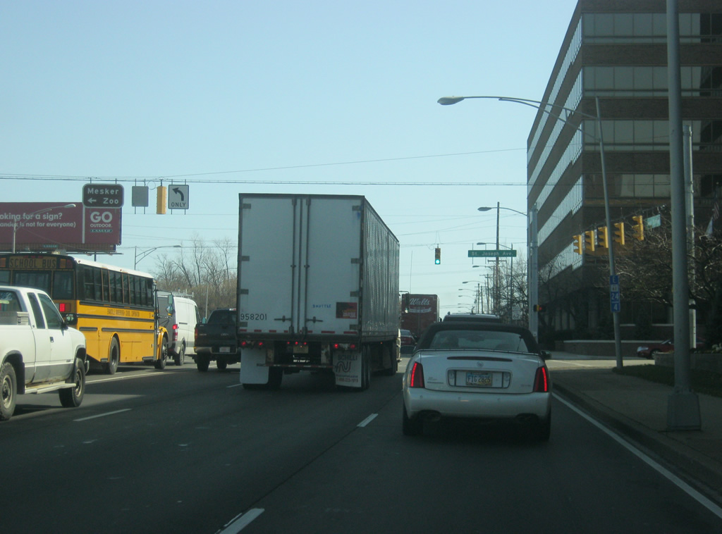
A sign informs motorists that the Meeker Zoo is located to the north along St. Joseph Avenue off of the Lloyd Expressway (SR 62).
03/06/12
St. Joseph Avenue is the major north-south road across the west side of Evansville, retaining four lanes up to the Diamond Avenue Expressway (SR 66). Before the Diamond Avenue Expressway, St. Joseph Avenue was SR 66 and U.S. 460 as it went across Pigeon Creek along Division Street and then proceeded north on St. Joseph. St. Joseph Avenue is often mentioned in talks for a new interchange with the Lloyd, but there is no timeline as to when one may be built.
03/06/12
A view of the Lloyd Expressway (SR 62) as it passes by the Mead Johnson Nutritionals Plan beyond St. Joseph Avenue. A couple of blocks to the north of the Lloyd is Franklin Street. This street is home to one of the largest street fairs in the country, the West side Nut Club Fall Festival. This week-long festival is undoubtedly the largest event in Evansville during the year. It brings in over 150,000 visitors that enjoy the carnival-like setting and the unique food vendors, selling such items like chocolate-covered grasshoppers and (Cow) Brain Sandwiches. Franklin Street can be accessed via either Wabash Avenue or St. Joseph Avenue.
03/06/12
Now passing by the final Lloyd Expressway (SR 62) at-grade intersection for a couple of miles, with Wabash Avenue. As mentioned previously, Wabash Avenue heads north to connect with Franklin Street and continues north to Maryland Street.
03/06/12
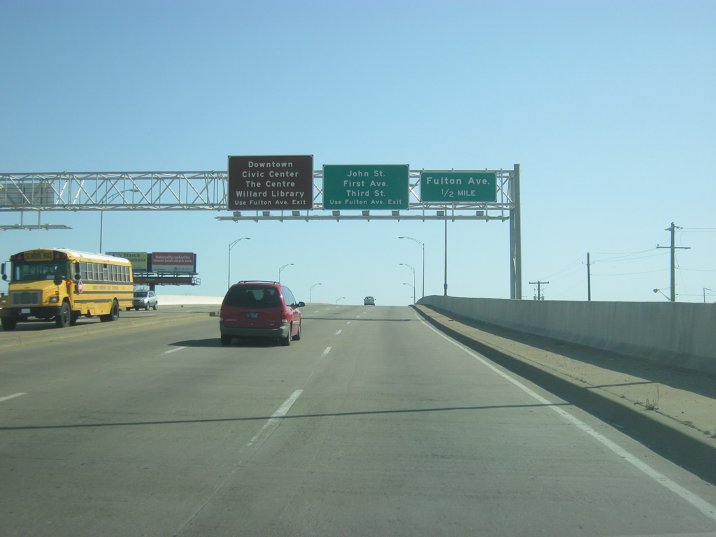
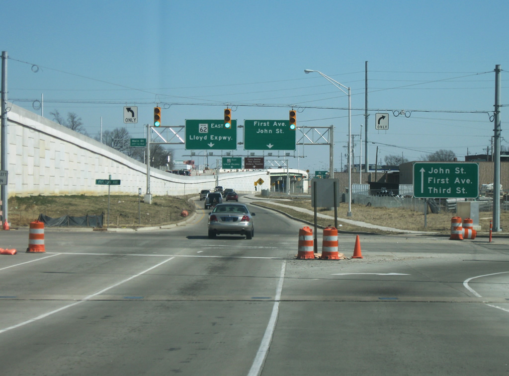
East of Wabash Avenue, the Lloyd Expressway (SR 62) rises onto a bridge over Pigeon Creek as it enters the Downtown Evansville area. The next interchange is with Fulton Avenue. Traffic bound for John Street, First Avenue and Third Street are directed to use the ramp to Fulton Avenue, which becomes a frontage road (named John Street) to the east of Fulton Avenue. Downtown Evansville and its various attractions are also best reached from this direction by taking the Fulton Avenue interchange. This forthcoming interchange was built in 2011 to replace an at-grade intersection with the Lloyd Expressway, extending the freeway portion of the roadway west to Wabash Avenue.
03/06/12
A guide sign directs traffic toward John Street, First Avenue and Third Street onto the Fulton Avenue off-ramp. Until the Fulton Avenue interchange was built, there was a deceleration slip ramp to John Street (east of the Fulton Avenue intersection), that connected with First Avenue and Third Street. However, the closeness to the new interchange prompted INDOT to close this ramp and use the new on-ramp onto Fulton for the same purpose.
03/06/12
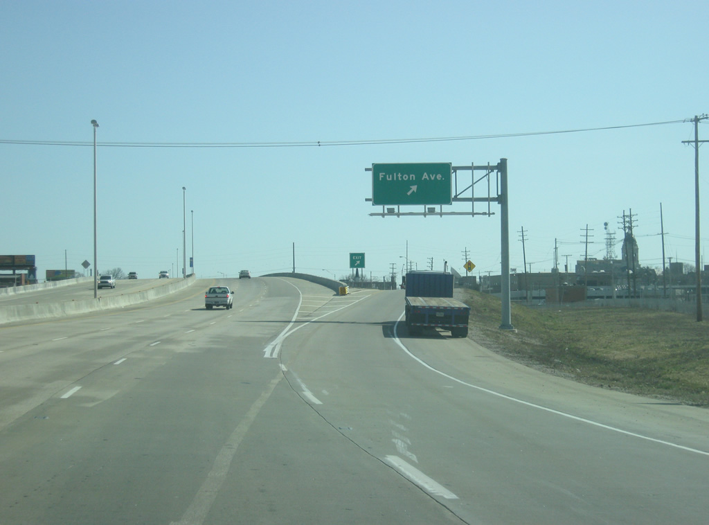
Now at the interchange with Fulton Avenue. Fulton Avenue comprises a major north-south four lane arterial across the heart of Evansville. To the south, the road becomes Riverside Drive, which provides access to Casino Aztar and Riverfront Park. Riverside Avenue becomes the Veterans Memorial Parkway, a four lane spur that connects directly with Interstate 164 and U.S. 41.
03/06/12
10/11/08
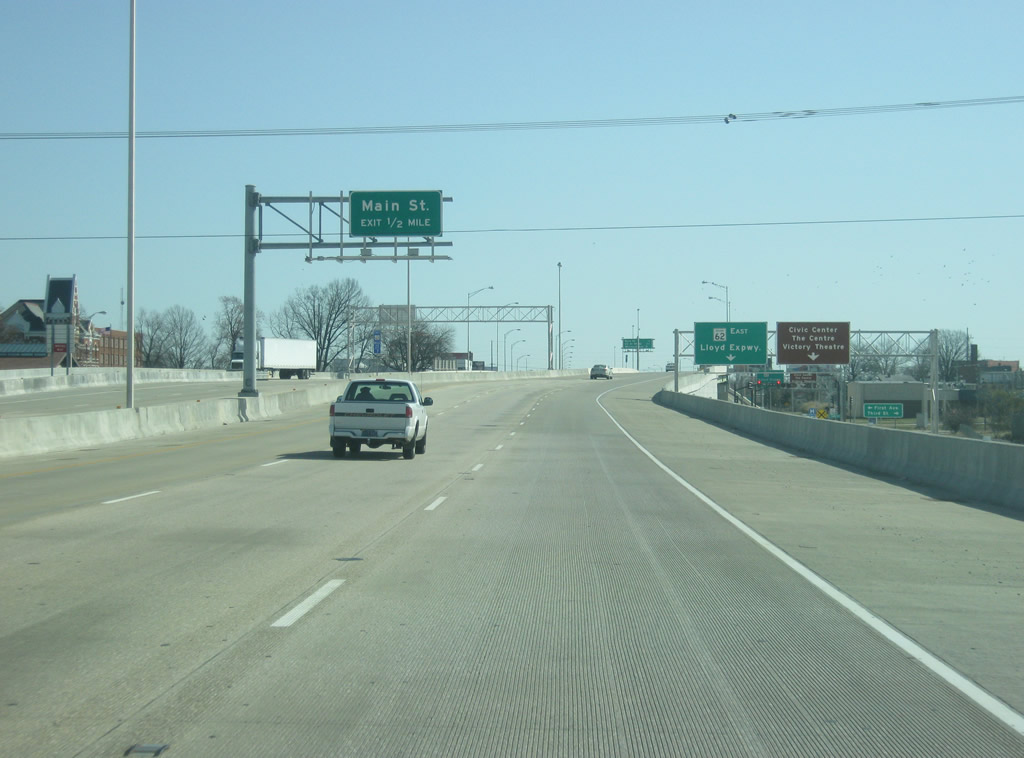
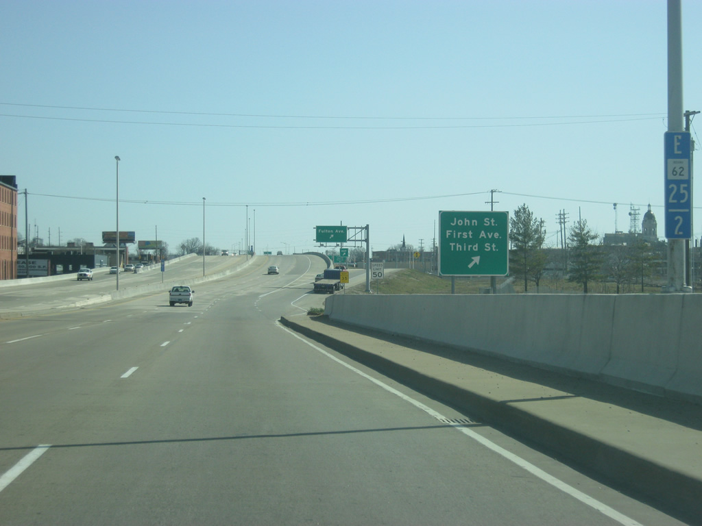
Now crossing over Fulton Avenue, the next interchange is with Main Street at a distance of a half mile. Main Street provides another north-south route into the north side of Evansville. To the right, one can see the John Street frontage road. At this point of the expressway, the street grid to the south turns to 45 degree streets which form the standard downtown grid for Evansville. Because the horseshoe bend of the Ohio River, in which the river flows from southeast to northwest, the streets are aligned accordingly. North of the Lloyd Expressway, and originally Division Street, the grid returns to a typical north-south and west-east pattern.
03/06/12
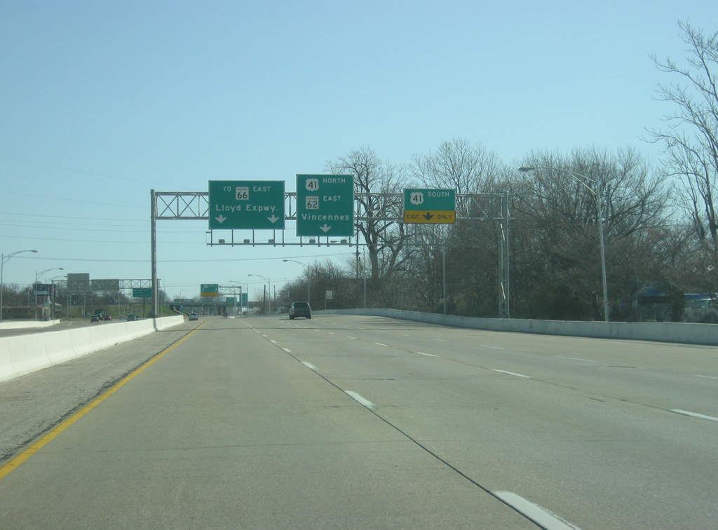
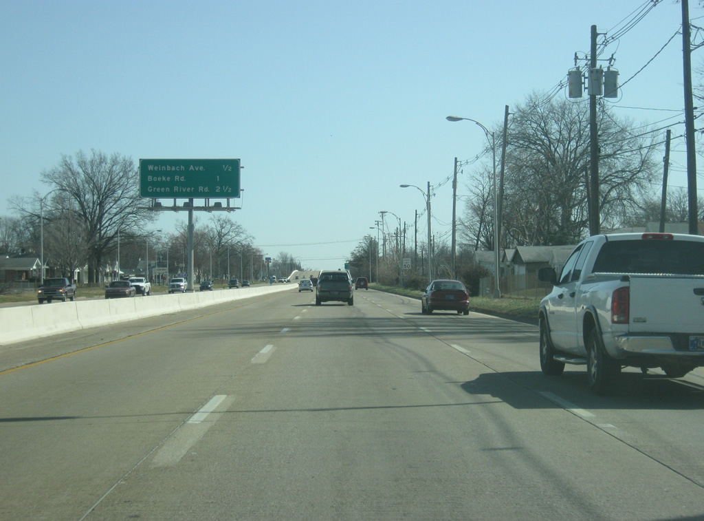
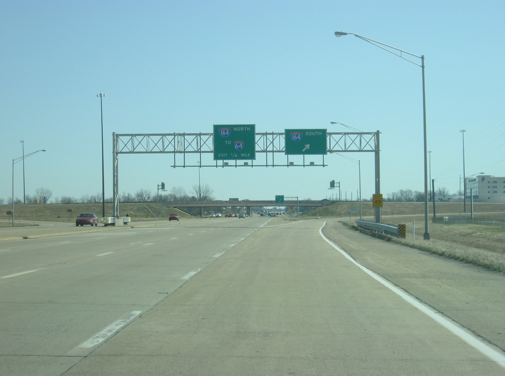
A distance sign gives the distances to the next three interchanges along the Lloyd Expressway: Main Street (1/4 mile), U.S. 41 & SR 66 (1 1/4 miles) and Weinbach Avenue (two miles).
03/06/12
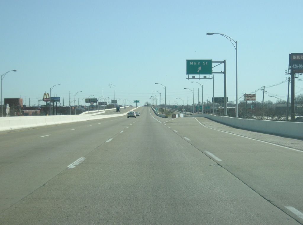
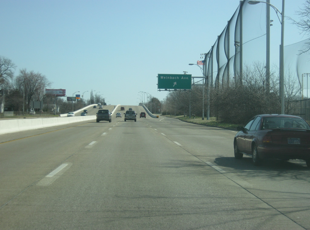
The Main Street off-ramp turns off of the eastbound Lloyd Expressway (SR 62). At the intersection with John Street and Main Street, one can take Vine Street to the southwest back into Downtown Evansville. Main Street continues north to Morgan Avenue and the historic Bosse Field baseball stadium.
03/06/12
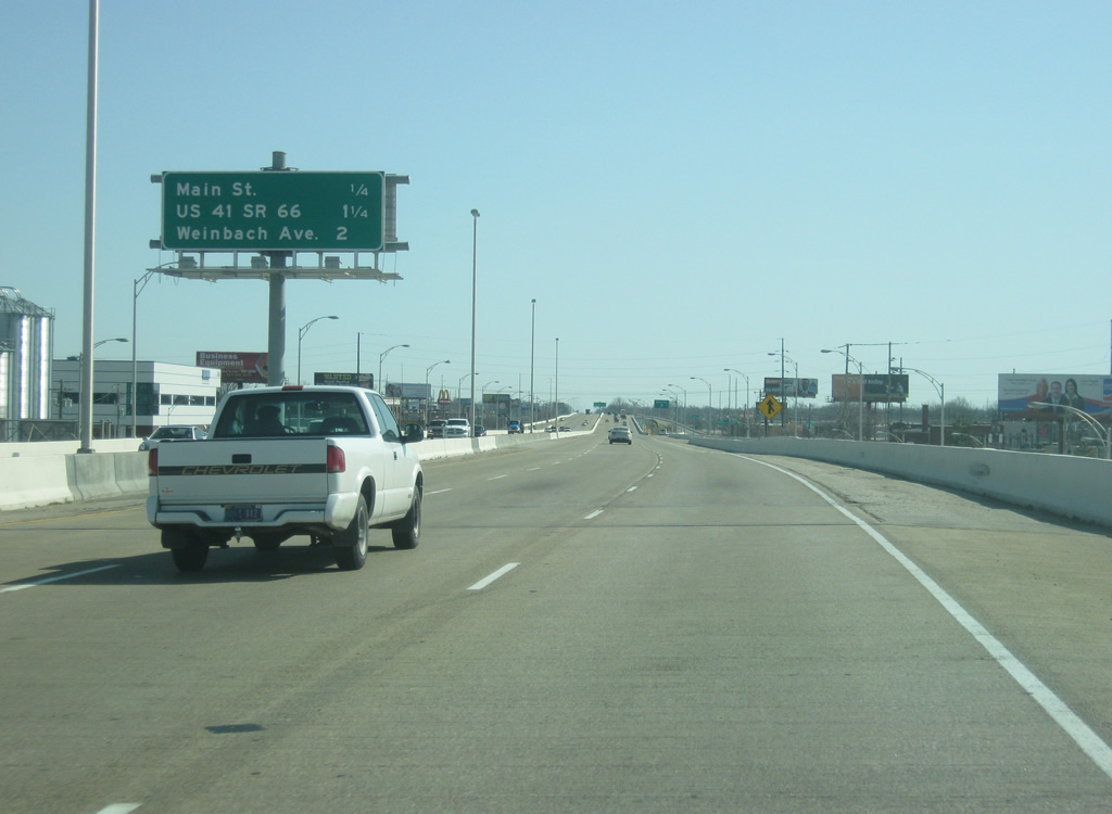
Crossing over Main Street and leaving the central business district, drivers are now one mile away from U.S. 41. Weinbach Avenue is now two miles away with Boeke Road at 2 3/4 miles.
03/06/12
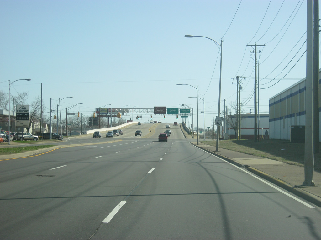
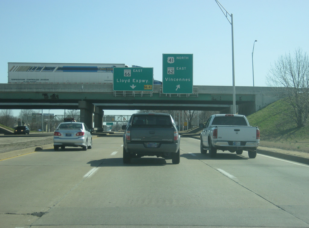
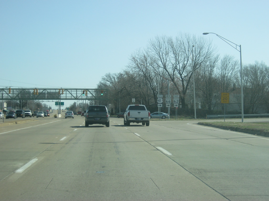
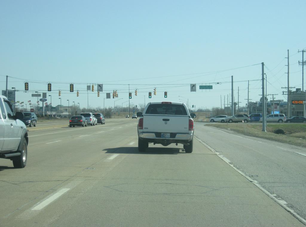
The Lloyd Expressway (SR 62) now approaches the interchange with U.S. 41 & SR 66 west. U.S. 41 is the main highway bisecting the city of Evansville from north to south, providing a four lane expressway across the city. The US Route is a 280 mile highway that is the main north-south route across western Indiana. It begins southeast of Chicago, goes through Hammond, Schererville, Kentland, Attica, Rockville, Terre Haute, Vincennes, Princeton, and Evansville as it journeys across the state.
03/06/12
The Lloyd Expressway enters the six-ramp parclo interchange with U.S. 41 where the right two lanes head south toward Interstate 164 and Henderson, Kentucky.
Motorists continuing along the Lloyd next reach Weinbach Avenue (one mile), Boeke Road (1 1/2 miles) and Green River Road (three miles).
03/06/12
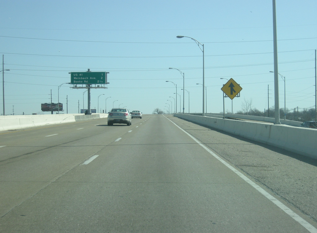
A loop ramp carries SR 66 east onto U.S. 41 north ahead of an at-grade intersection with the northbound off-ramp. The junction with U.S. 41 is the only place along the Lloyd between Wabash Avenue and Vann Street that contains stoplights presently. However construction slated for 2014 will upgrade the interchange between the two highways into a cloverleaf interchange.
03/06/12
SR 62 joins U.S. 41 north for a 1.1 mile overlap to the Morgan Avenue intersection. SR 66 west too follows this route south from the Diamond Avenue Expressway.
SR 66 runs for 150 miles from New Harmony east across Evansville, Newburgh, Tell City and Marengo before ending at U.S. 150 in Washington County.
Beyond this interchange is one of several pedestrian overpasses that span the Lloyd Expressway.
03/06/12
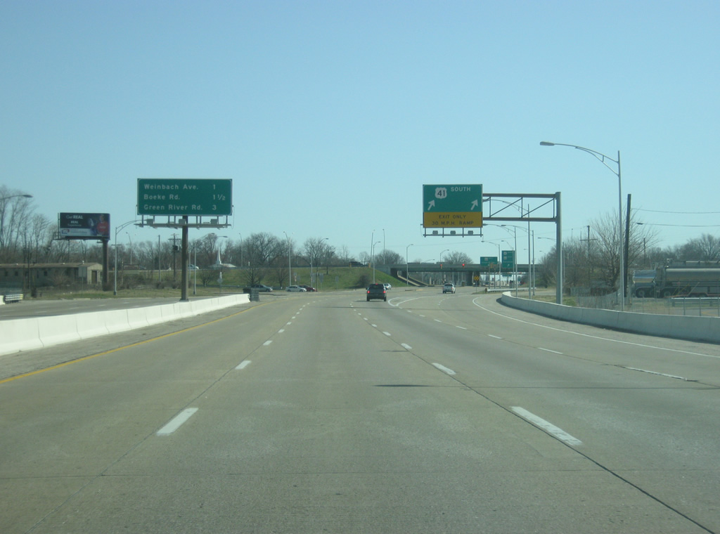
Heading east along the Lloyd Expressway (SR 66) past the U.S. 41 interchange, the Weinbach Avenue interchange is now a half mile away. Boeke Road and Green River Road follow at one and 2 1/2 miles respectively.
03/06/12
The Lloyd Expressway eastbound enters the Weinbach Avenue interchange. Weinbach Avenue is another major north-south arterial that makes a direct connection to the Diamond Avenue Expressway ahead of U.S. 41. Weinbach Avenue also provides the best access to the University of Evansville.
03/06/12
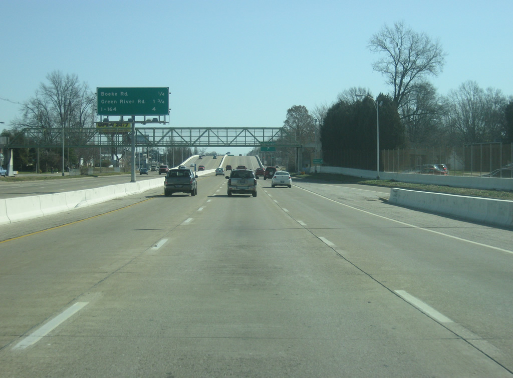
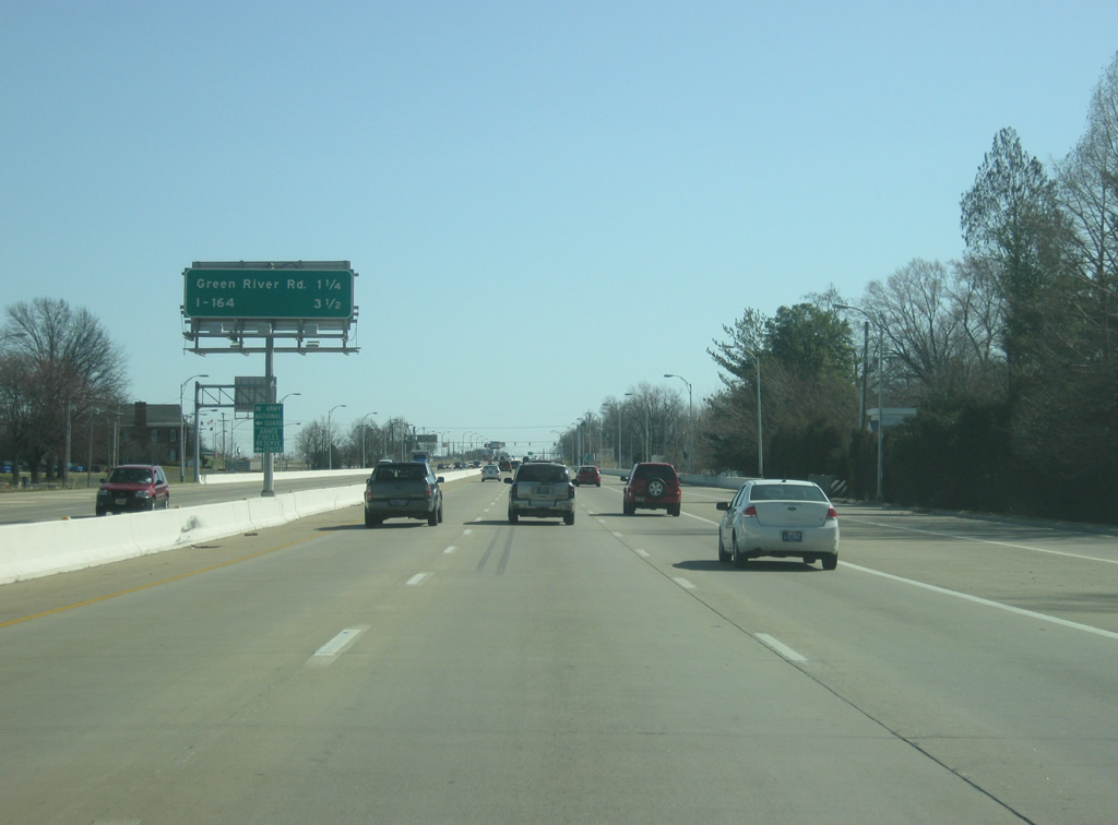
The next interchange is with Boeke Road at 1/4 mile. Green River Road follows next at 1 3/4 miles while Interstate 164 is four miles away. Despite the short distance, it is not all freeway east to Interstate 164.
03/06/12
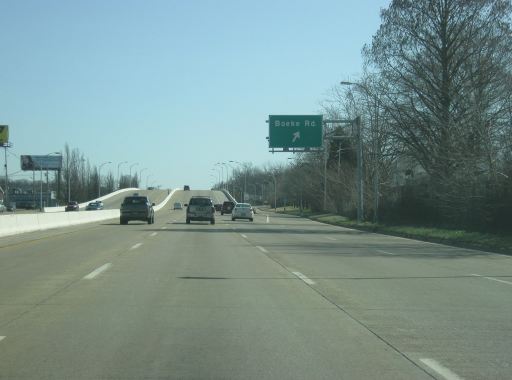
Eastbound SR 66 (Lloyd Expressway) at the Boeke Road interchange. Boeke Road is another north-south arterial that spans the east side of Evansville. The site of Roberts Stadium and its various sports fields and Wesselman Park and Nature Preserve can be accessed via Boeke Road.
03/06/12
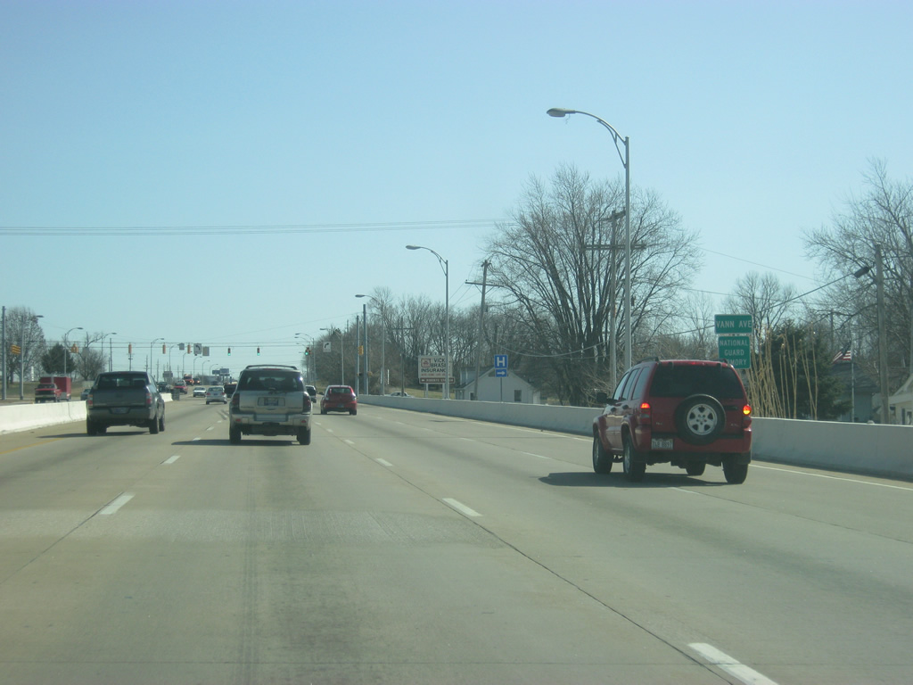
The freeway portion of the Lloyd Expressway (SR 66) comes to an end at the Vann Avenue intersection. Vann Avenue is a major 4-lane north-south road that heads across the southeast side of Evansville.
03/06/12
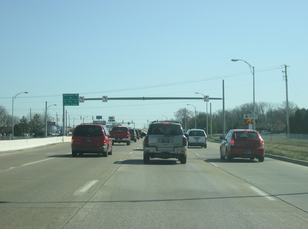
Next in line is the Lloyd Expressway (SR 66) intersection with Stockwell Road. Stockwell Road is a collector road that connects the Lloyd with Morgan Avenue (SR 62) while also providing a link to several automobile dealerships around the area.
03/06/12
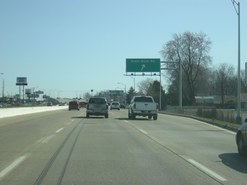
A single-point urban interchange, the first in southwest Indiana, joins SR 66 (Lloyd Expressway) with Green River Road. It is also the newest of interchanges along the eastern half of the Lloyd being built in the late 1990s.
Green River Road represents the primary commercial hub of Evansville as a busy four lane north-south arterial. This includes the Eastland Mall, which resides just north of the Lloyd Expressway off of Green River Road.
03/06/12
A pedestrian overpass spans the Lloyd Expressway (SR 66) to the east of the Green River Road interchange. The overpass provides access to William Henry Harrison High School on the south side of the expressway.
03/06/12
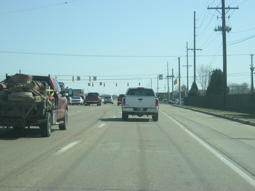
A second traffic light governs the movements between the Lloyd Expressway (SR 66) and Brentwood Drive. From this point eastward, frontage roads line the Lloyd providing access to the various shopping centers. Despite some access control, heavy traffic along the expressway still backs up at the few signals.
03/06/12
Even with some more stoplights to go, a guide sign announces the one mile mark to the Interstate 164 interchange.
03/06/12
The Lloyd Expressway (SR 66) approaches the Burkhardt Road intersection. Burkhardt Road is a major four lane north-south road connecting Morgan Avenue (SR 62) to the north with the Lloyd Expressway to the south. Burkhardt Road also leads to several big-box stores that are located here due to the close access to the Lloyd Expressway. Double left turn lanes on each side emphasize the traffic that flows through here. This has prompted INDOT to consider their next location for an interchange along the Lloyd Expressway to be here at Burkhardt Road, planned competition date? 2035. For the next few decades, traffic here will help to epitomize the slow-going nature of the Lloyd Expressway.
03/06/12
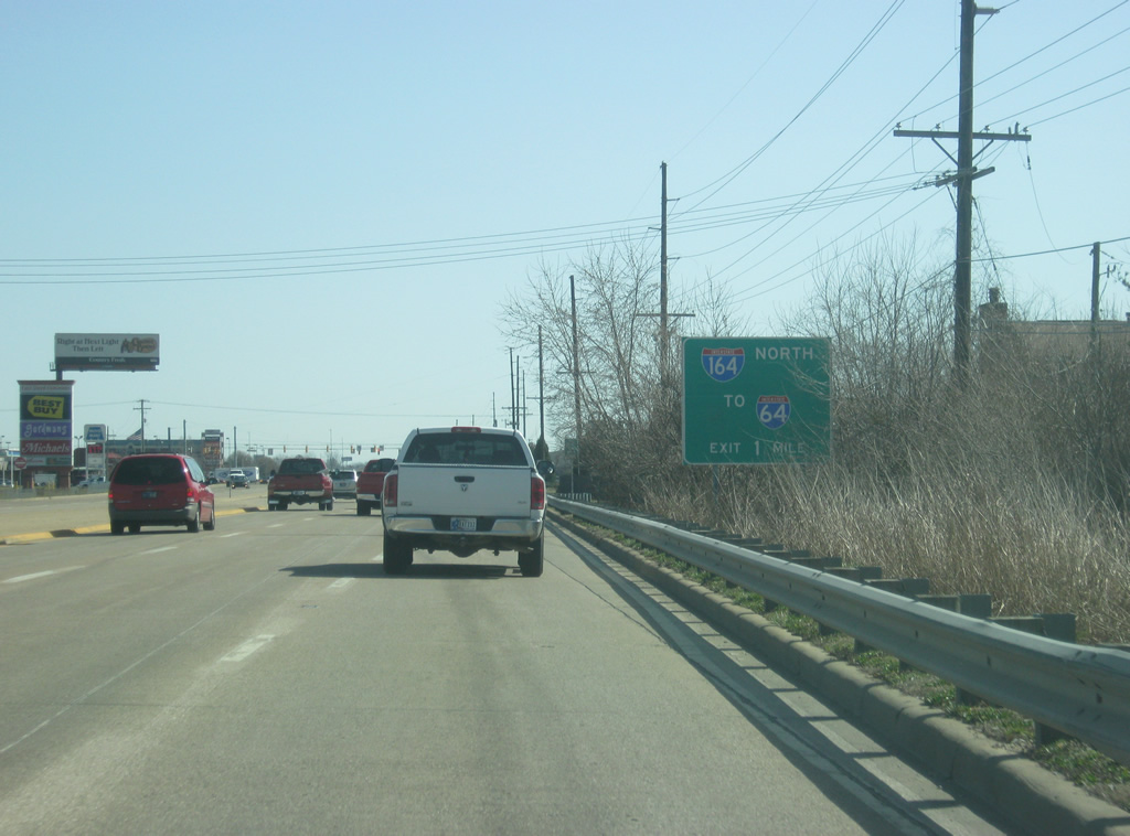
To the east of the Burkhardt Road interchange, we are now a half mile away from Interstate 69. Access to the freeway, the former Interstate 164, is the primary reason for all the commercial business around this area. That and the growing nature of the Warrick County suburbs to the east of Interstate 69.
03/06/12
The Lloyd Expressway (SR 66) approaches its last intersection before Interstate 69, with Cross Pointe Boulevard. Cross Pointe Boulevard is a connector road between the Lloyd Expressway and the SR 62 (Morgan Avenue)/former I-164 interchange. This area has the highest concentration of such services (restaurants, shopping centers, and hotels) in the Evansville area, adding to the traffic in the region.
03/06/12
Finally, SR 66 has its interchange with Interstate 69. Interstate 164 was a 21 mile spur of Interstate 64 that connected the major west-east interstate with the Evansville area. The route was incorporated into an extension of I-69 in fall 2014 and is also designated as the Robert Orr Highway.
A cloverleaf interchange facilitates movement between SR 66 and Interstate 69. From this interchange east, the Lloyd Expressway officially ends leaving the road as solely SR 66. SR 66 remains multi-lane as it bypasses the town of Newburgh in southern Warrick County en route toward the Perry County seat of Tell City.
03/06/12
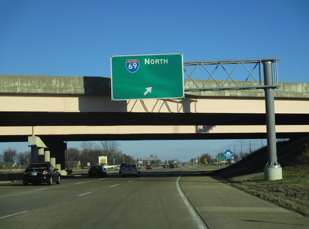
Eastbound SR 66 (Lloyd Expressway) at the loop ramp with Interstate 69 northbound near the Vanderburgh-Warrick County line. A blank space is left on the guide sign for I-69 north indicating that a control city, likely Bloomington or Indianapolis, may be placed eventually.
01/01/16
Photo Credits:
- Thomas Decker: 10/11/08, 03/06/12, 01/01/16
Connect with:
Page Updated Wednesday May 01, 2013.