
Route 70

Maryland Route 70 follows Rowe Boulevard southeast from Bestgate Road and U.S. 50/301 to Bladen Street and MD 450 (College Avenue) in the state capital of Annapolis. The arterial route travels 2.32 miles from the east end of unmarked Interstate 595 over Weems Creek to MD 450 across from the Maryland State House.
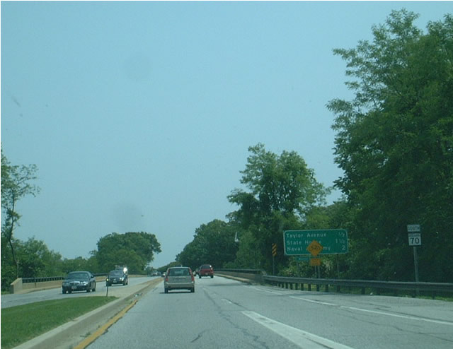
The first confirming marker for MD 70 stands south of the U.S. 50-301 freeway.
06/01/03
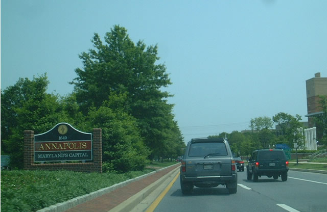
The city of Annapolis is the capital of Maryland and home to the U.S. Naval Academy. The Naval Academy lies east of the Severn River via the U.S. Naval Academy Bridge.
06/01/03
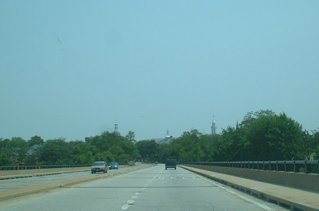
The state house of Maryland appears above the tree line as MD 70 (Rowe Boulevard) heads south into Annapolis.
06/01/03
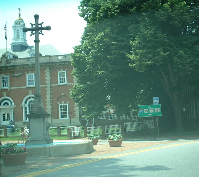
Upon reaching the state house of Maryland, MD 70 comes to its southern terminus as traffic is diverted onto College Avenue. This photo shows State Circle, which surrounds the capitol building. The road system in this part of Annapolis can be confusing, with angled streets and one way streets. Signs are fairly plentiful to assist in getting around the downtown area.
06/01/03
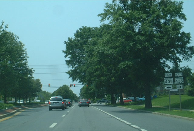
Beginning at the foot of the state capitol in Annapolis, MD 70 heads north on Bladen Street and then Rowe Boulevard until it reaches MD 435. The boulevard is tree-lined with a well-manicured median.
06/01/03

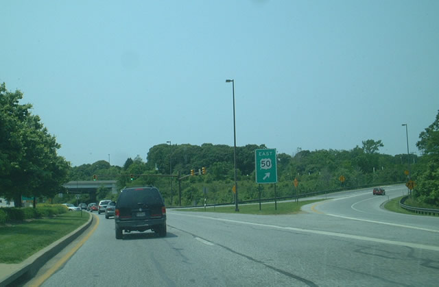
Continuing north, MD 70 crosses an inlet of the Severn River, then approaches U.S. 50-301. U.S. 301 is omitted from these signs, as is Interstate 595, which lines the freeway west from MD 70 toward Washington at this interchange.
06/01/03
The ramp for U.S. 50 east and U.S. 301 north to the Chesapeake Bay Bridge and the Eastern Shore departs from MD 70 north.
06/01/03
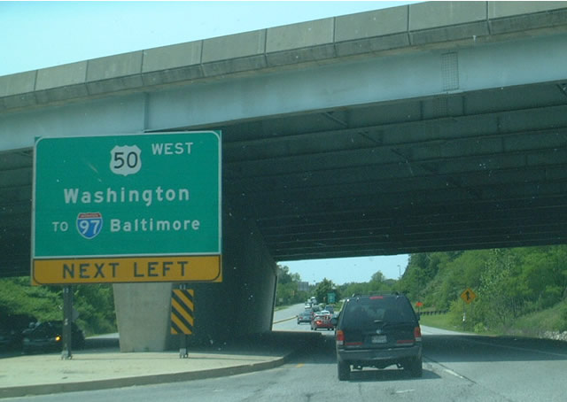
Passing under the freeway, MD 70 (Rowe Boulevard) reaches the entrance ramp for I-595-U.S. 50 west & U.S. 301 south to Washington, D.C. and I-97 north to Baltimore.
06/01/03
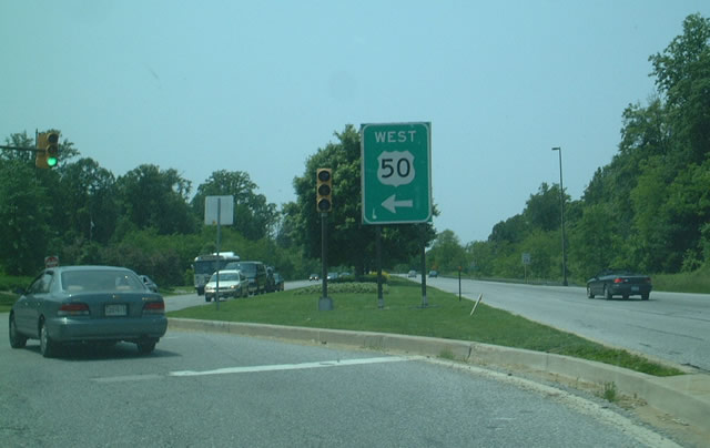
MD 70 concludes at I-595, U.S. 50 and U.S. 301. Interstate 595 extends west from here to the Capital Beltway (I-95/495).
06/01/03
Photo Credits:
- Andy Field: 06/01/03
Connect with:
Page Updated Tuesday June 15, 2004.