
Route 267

Located through Charlestown along the Northeast River in Cecil County, MD 267 constitutes a 1.90 mile long loop south from MD 7 (Old Philadelphia Road). The state route navigates along a stair stepped route through the Charlestown street grid along Baltimore, Cecil, Market and Bladen Streets. This alignment represents part of original route U.S. 40 took between Perryville and North East.
Historic Charleston is home to over 1,100. Charleston Town Hall lies at the corner of Bladen and Market Streets along MD 267. Just 1,370 vehicles per day (vpd) were recorded along the state route through town by the Maryland Department of Transportation (MDOT) in 2016. 2003 counts were 1,875 vpd.
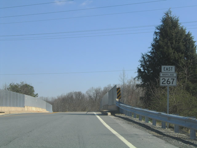
MD 267 eastbound spans the AMTRAK Northeast Corridor to the immediate south of MD 7 (Old Philadelphia Road) on a bridge built in 1967. Continuing on Baltimore Street, MD 267 next intersects Carpenters Point Road (former MD 164) south.
03/28/04
MD 267 eastbound follows Bladen Street from Market Street and central Charlestown to the 1974-built bridge over AMTRAK. The state route concludes at MD 7 across from Trinity Woods subdivision.
03/28/04
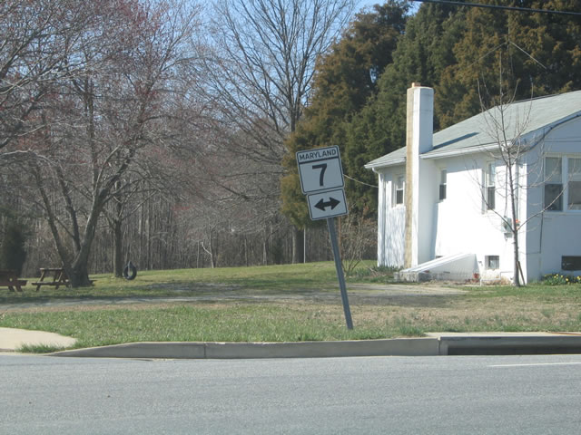
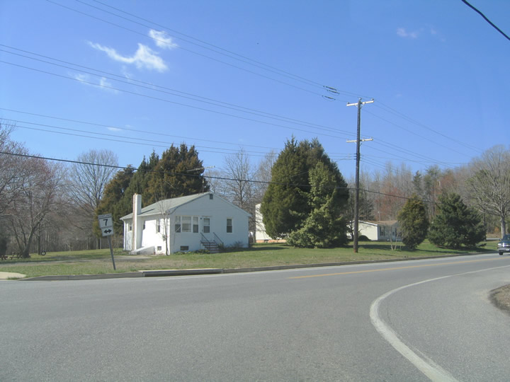
MD 7 (Old Philadelphia Road) was built as a bypass of Charlestown in the 1940s for U.S. 40. The state route carries local traffic west to Pulaski Highway at Principio Business Park and eastward to the town of North East.
03/28/04
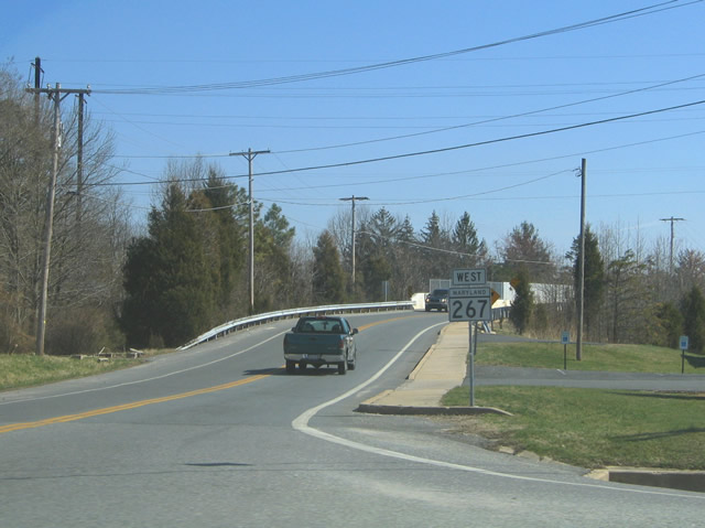
MD 267 (Bladen Street) curves southward across the bridge spanning the AMTRAK Northeast Corridor from MD 7 and Revelation Road into Charlestown.
03/28/04
Photo Credits:
- Alex Nitzman: 03/28/04
Connect with:
Page Updated Friday December 14, 2018.