
Route 58 - Willamette Highway

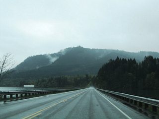
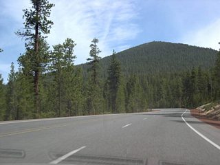
Oregon 58, also known as the "Willamette Highway" is one of two highways that links the Eugene metro area with Central Oregon (the other is OR 126). 86 miles in length, westbound OR 58 starts at an interchange with US 97 in Klamath County. From there it heads roughly northwest, climbing gradually to cross the Cascade crest at Willamette Pass (el. 5,128 feet). Heading into Lane county, the highway drops over 4,500 feet in elevation by the time it reaches the Willamette Valley and Interstate 5 just south of Eugene. Towns and services are sparse along the route, with Oakridge, 40 miles southeast of Eugene, being the only town of any real size. A very scenic highway, OR 58 winds towering Douglas-fir forests and offers views of Odell Lake, Diamond Peak, and two reservoirs. On the west slope, it is also very steep in spots, and two runaway truck ramps are provided.
Oregon Route 58 Guides
 scenes
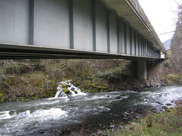
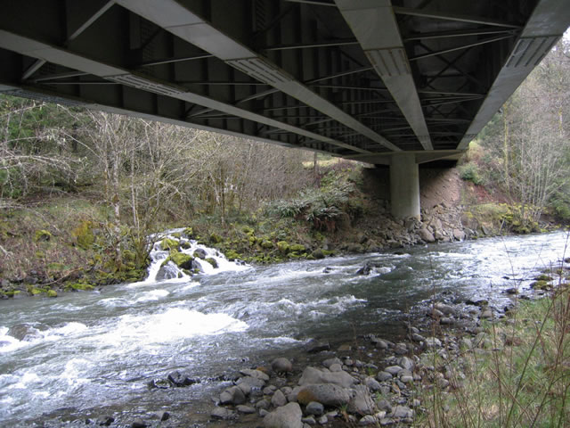
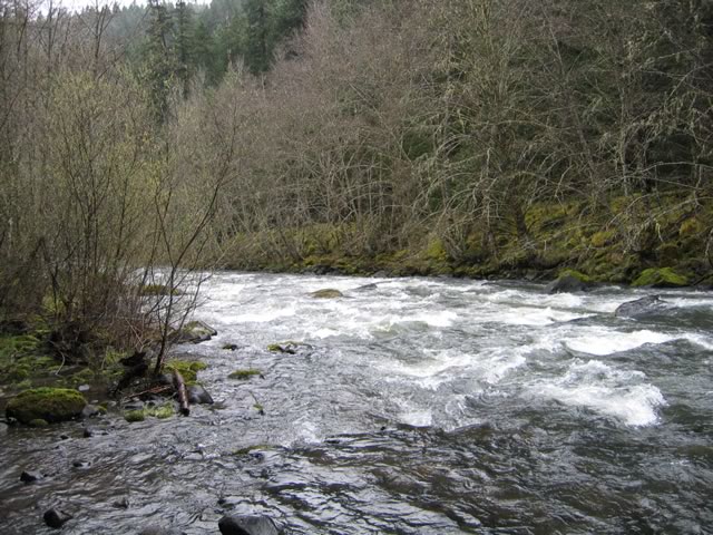
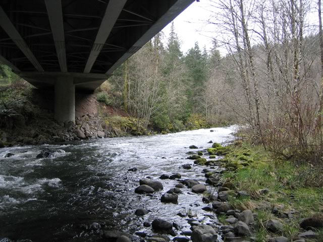
Views of the Willamette River bridge of OR 58 (Willamette Highway) near the town of Oakridge. The moist landscape provides ripe conditions for moss and fungus to grow on many of the rocks and tree limbs in the area. The shallow nature of the river coupled with the many volcanic rocks gives a whitewater feel.
04/01/05
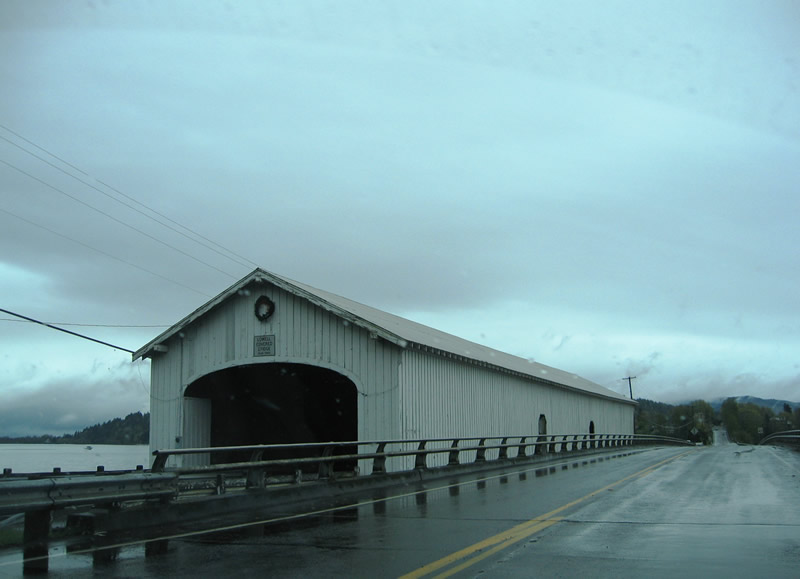
Pioneer Street crosses Dexter Reservoir along a two lane causeway between OR 58 (Willamette Highway) and the town of Lowell. Preserved along the crossing is the historic Lowell Covered Bridge. Constructed in 1945 to replaced a damaged 1907-span, the bridge replaced a ferry crossing between the Willamette Highway and Lowell.
04/01/05
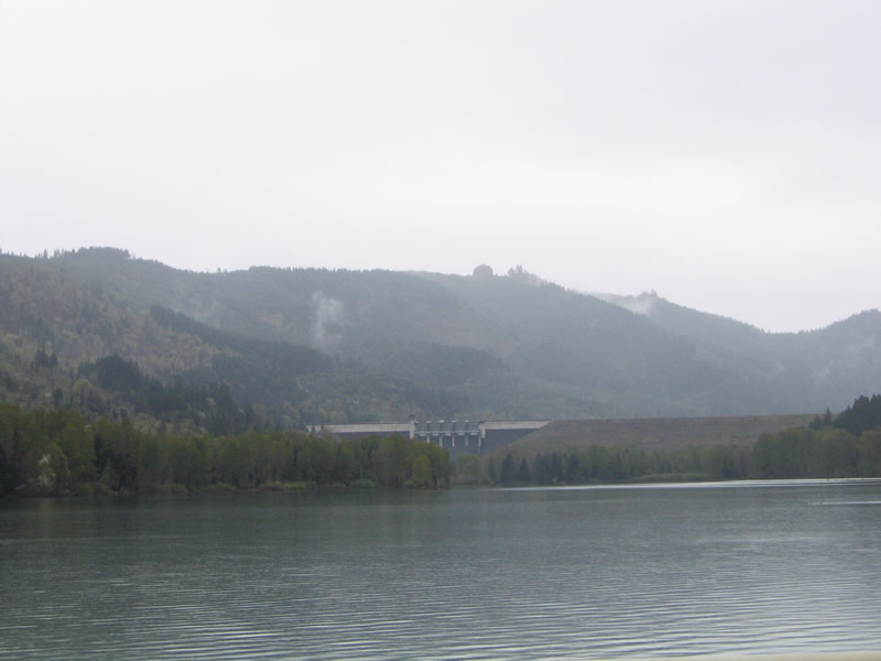
Looking east at the Lookout Point Dam from the Pioneer Street crossing.
04/01/05
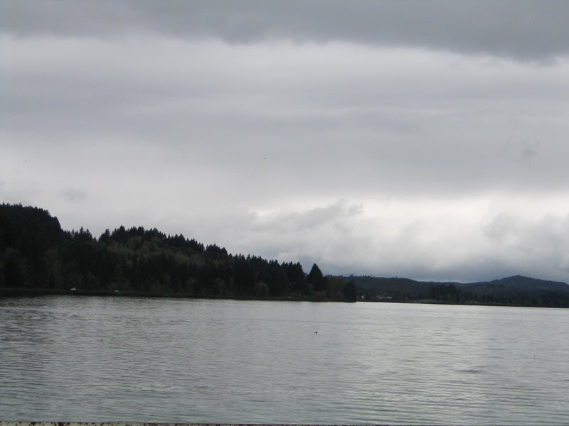
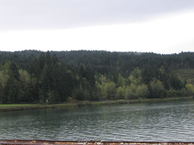
Two views of Dexter Reservoir west of Pioneer Street. OR 58 is visible along the southern shores of the lake.
04/01/05
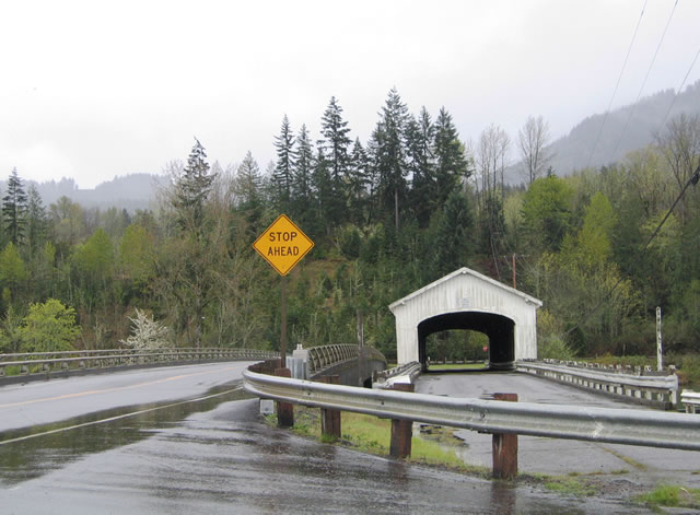
Pioneer Street southbound at the Lowell Covered Bridge. The street ends at OR 58 in the background. The concrete span parallel to the covered bridge opened to traffic in 1981.
04/01/05
Photo Credits:
- AARoads: 04/01/05
Connect with:
Page Updated Monday November 21, 2005.