
Loop 375 East - Woodrow Bean Transmountain Road
The original two lane alignment for SL 375 (Woodrow Bean Transmountain Road) was repurposed as the south side frontage road the freeway upgrade. This view looked east at Northwestern Drive.
09/28/06
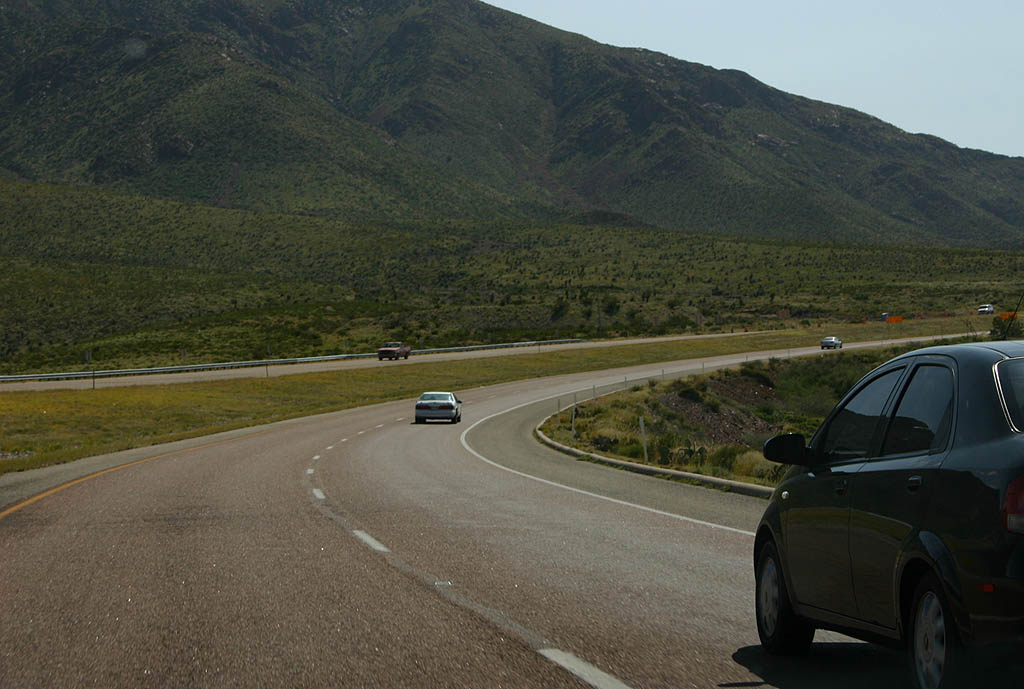
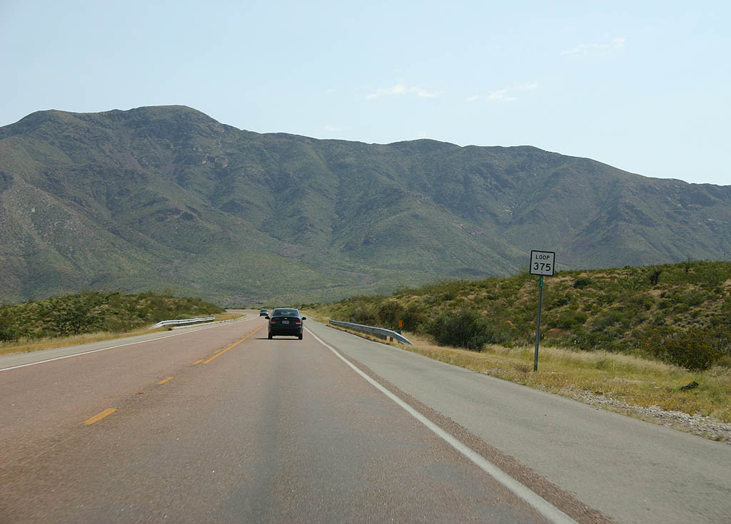
Expansion of SL 375 to a four lane freeway was completed in 2014. Woodrow Bean Transmountain Road transitions to an at-grade expressway beyond Exit 12 for Paseo Del Norte Drive and navigates through a series of S-curves toward the Franklin Mountains.
09/28/06
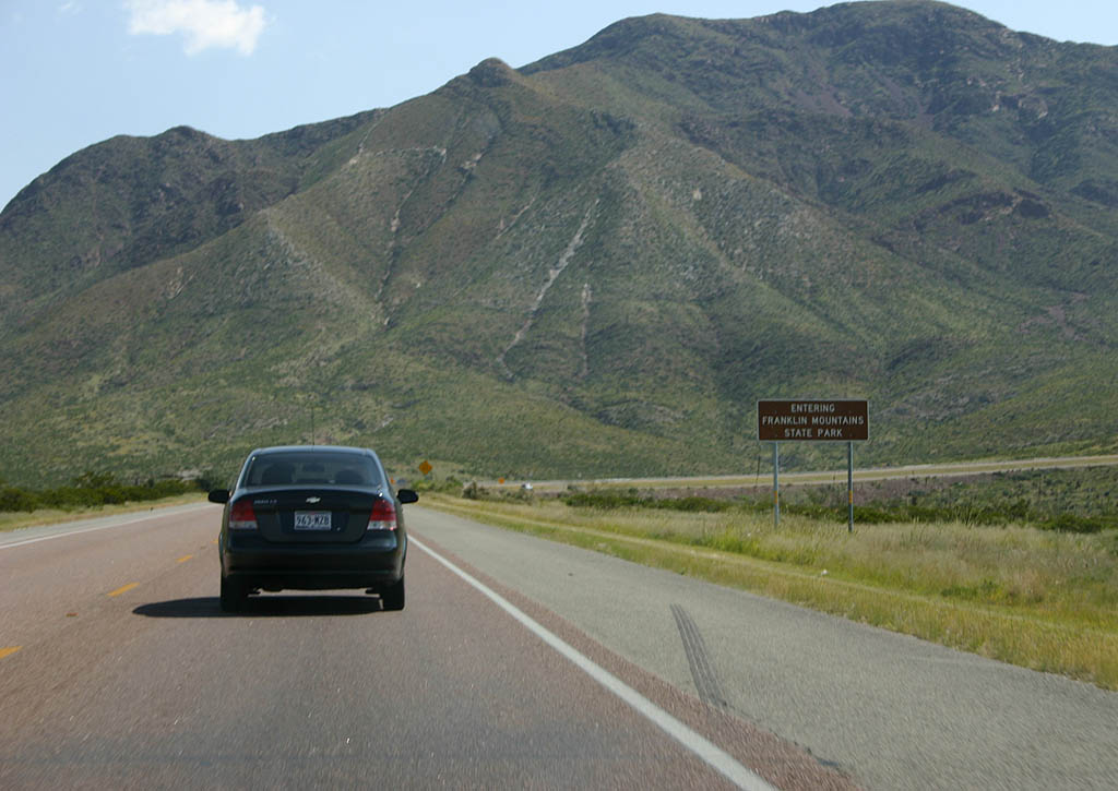
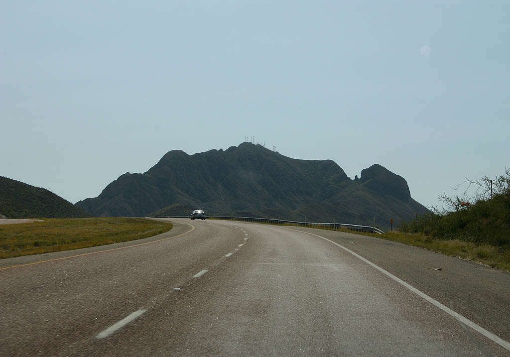
Loop 375 enters Frankln Mountains State Park just ahead of the turnoff for Tom Mays Park Road.
09/28/06
Turning southward from Tom Mays Park Road, Loop 375 gains 600 feet in elevation to Smugglers Pass.
09/28/06
Smugglers Pass comes into view in this scene. Loop 375 travels through the terraced rock cut to pass between North and South Franklin Mountain.
09/28/06
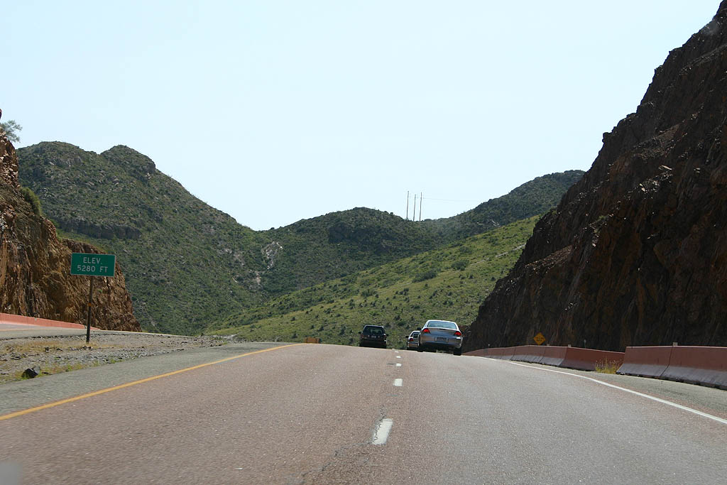
Woodrow Bean Transmountain Road tops out at 5,280 feet through Smugglers Pass.
09/28/06
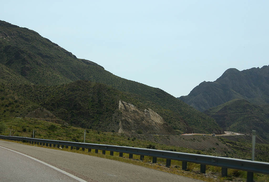
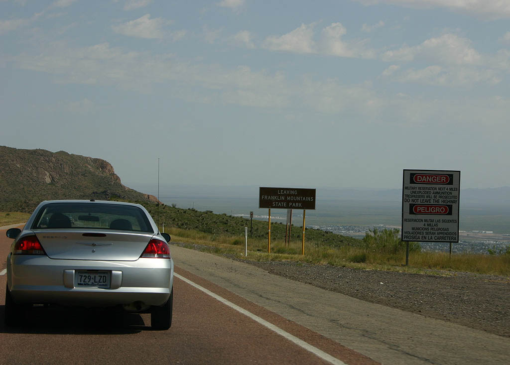
Loop 375 curves northward through Fusselman Canyon to leave Franklin Mountains State Park and enter the Castner Range of Fort Bliss.
09/28/06
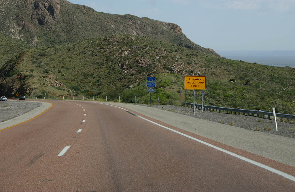
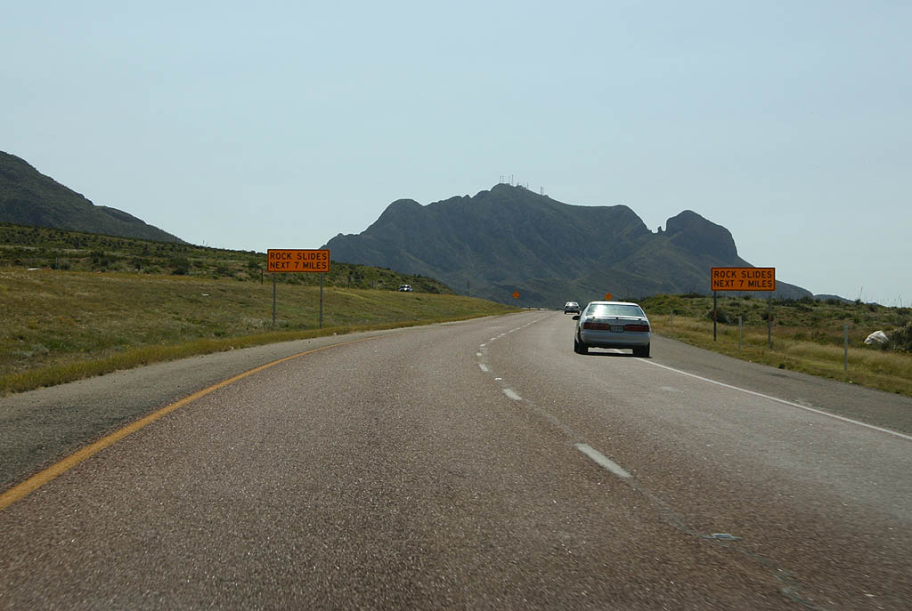
The first of two runaway truck ramps lines SL 375 east, one mile from Whispering Springs Canyon.
09/28/06
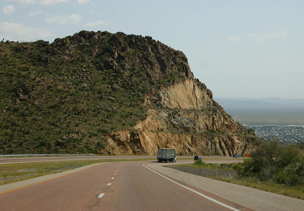
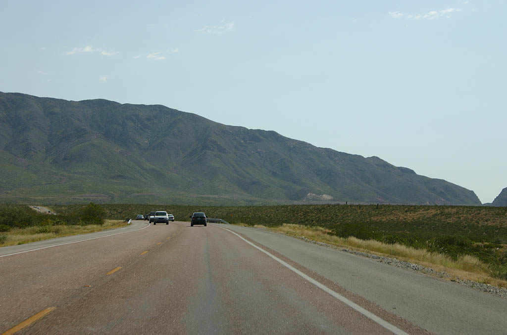
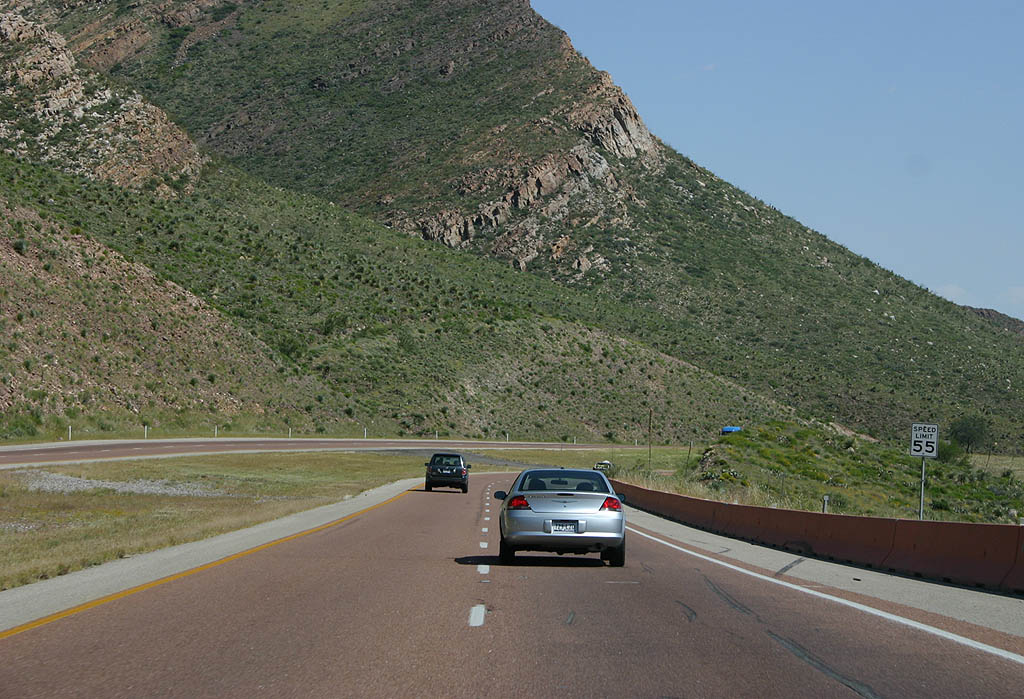
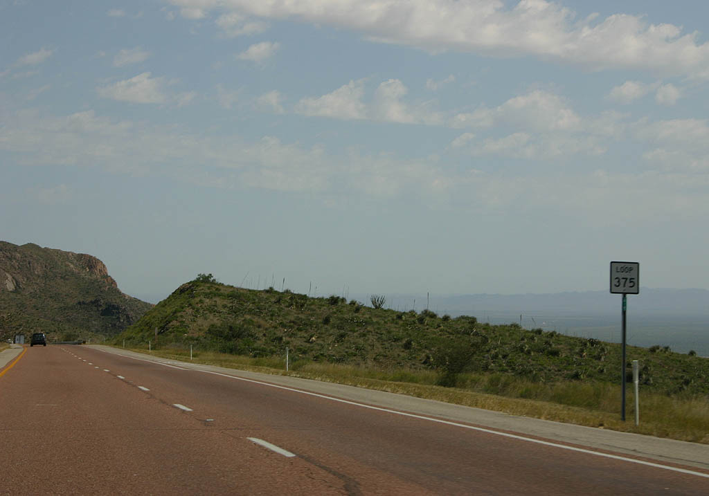
Loop 375 winds through another series of S-curves east from Pine Tree Canyon along the south side of the Castner Range.
09/28/06
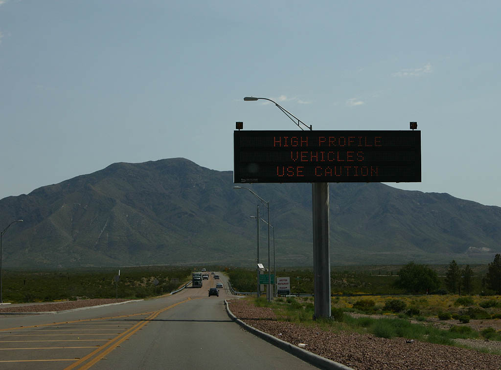
A picnic area offers a wide open view of north El Paso and the distant Fort Bliss from Loop 375 on the southeast side of the Castner Range. The expressway is around 4,400 feet above sea level here.
09/28/06
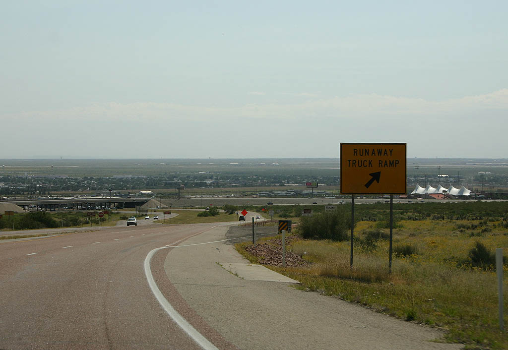
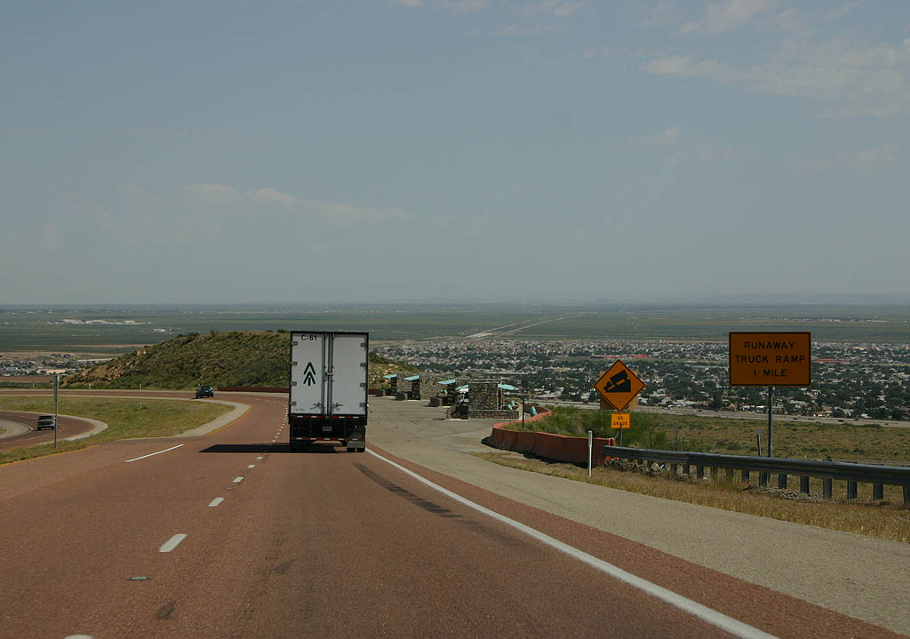
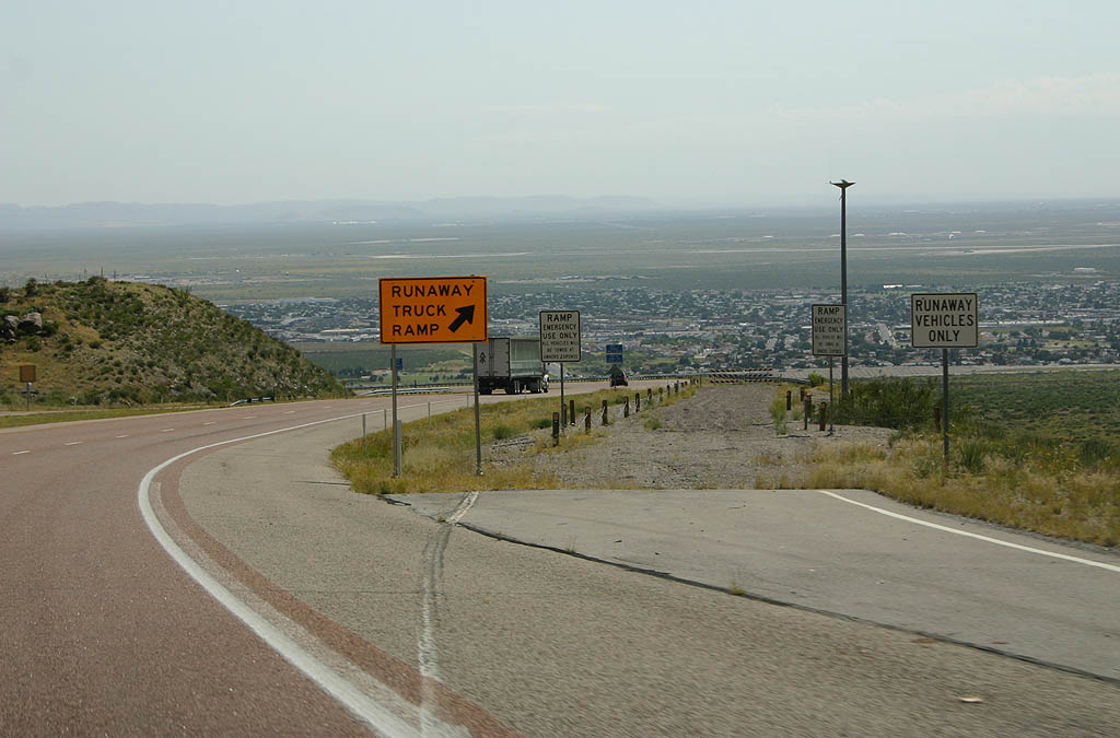
A second runaway truck ramp is located just ahead of the intersection for the El Paso Museum of Archaeology and the National Border Patrol Museum. Loop 375 descends to 4,180 feet above sea level at this point.
09/28/06
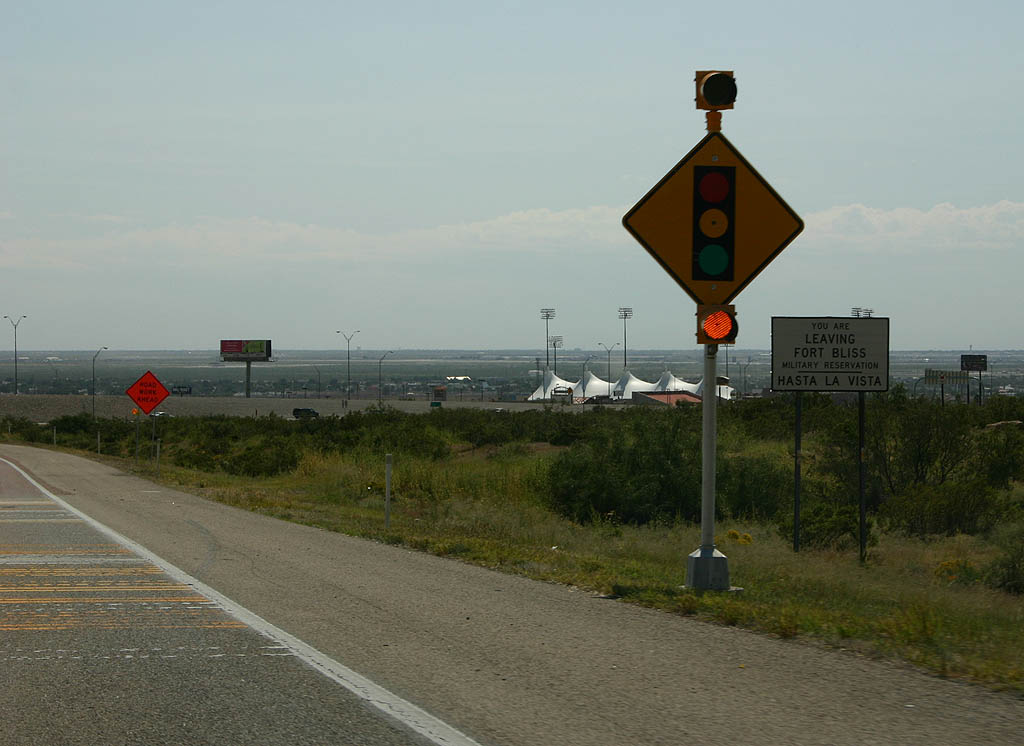
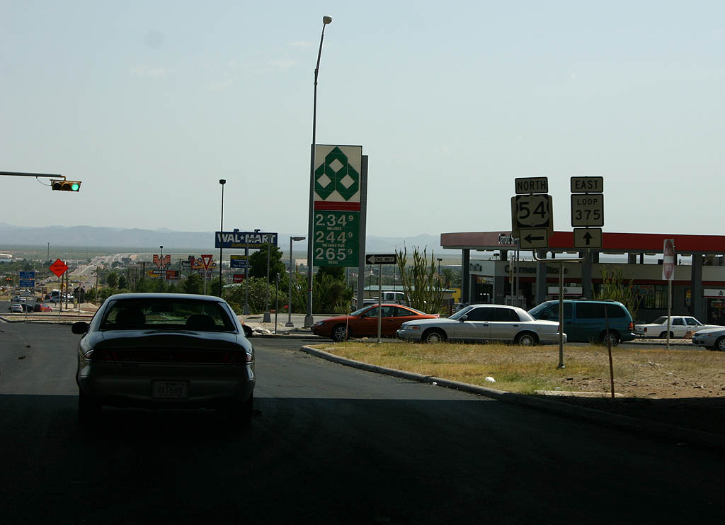
Prior to fall 2014, Woodrow Bean Transmountain Road intersected the U.S. 54 (Patriot Freeway) frontage road system at signalized intersections.
09/28/06
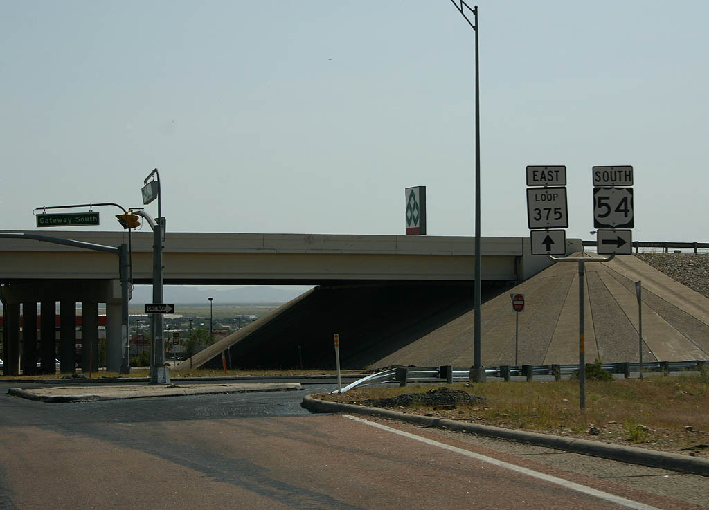
A three-level interchange joins SL 375 with U.S. 54 now, with the frontage roads now acting as ramps connecting with the Patriot Freeway south toward Downtown El Paso and north to Northeast El Paso.
09/28/06
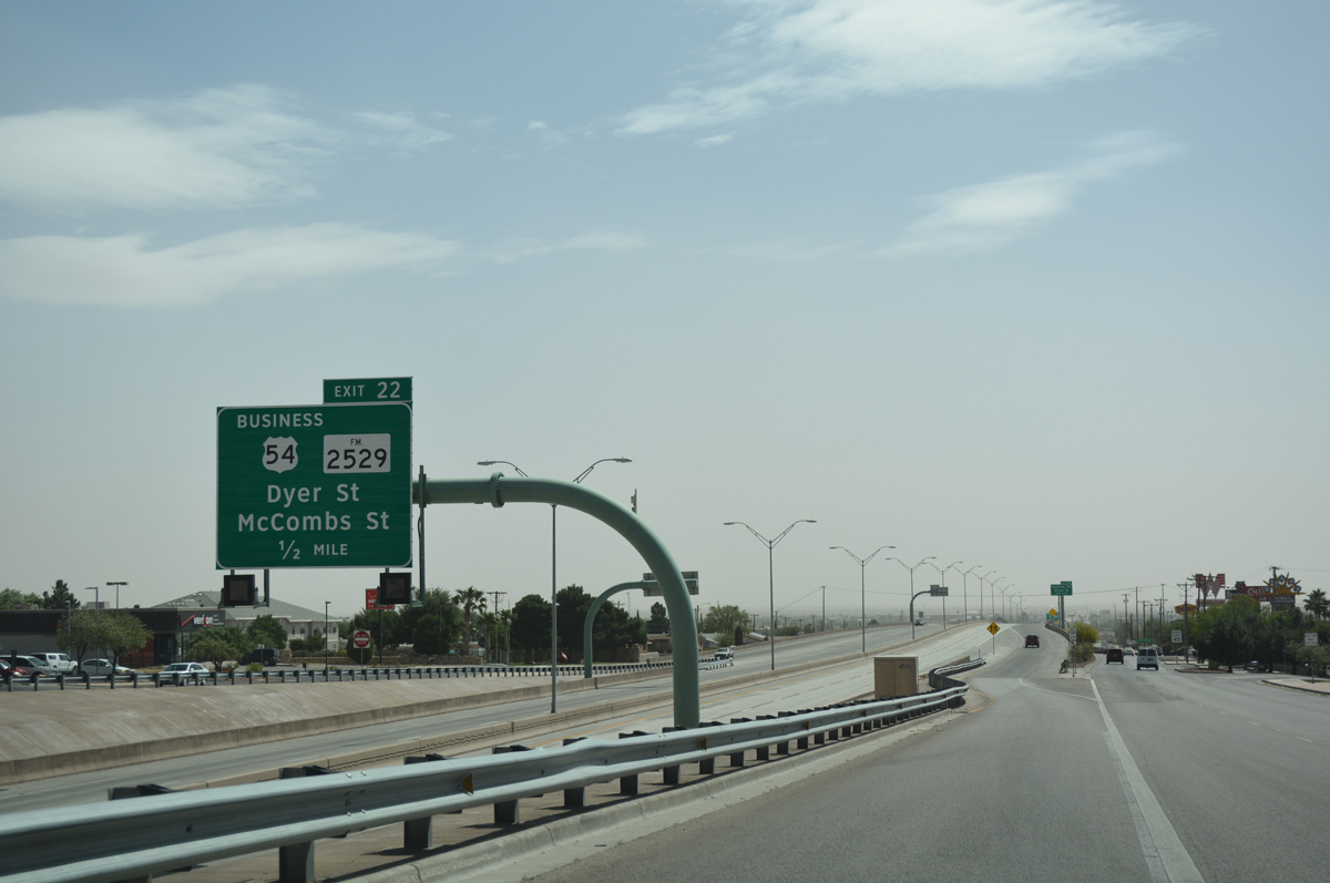
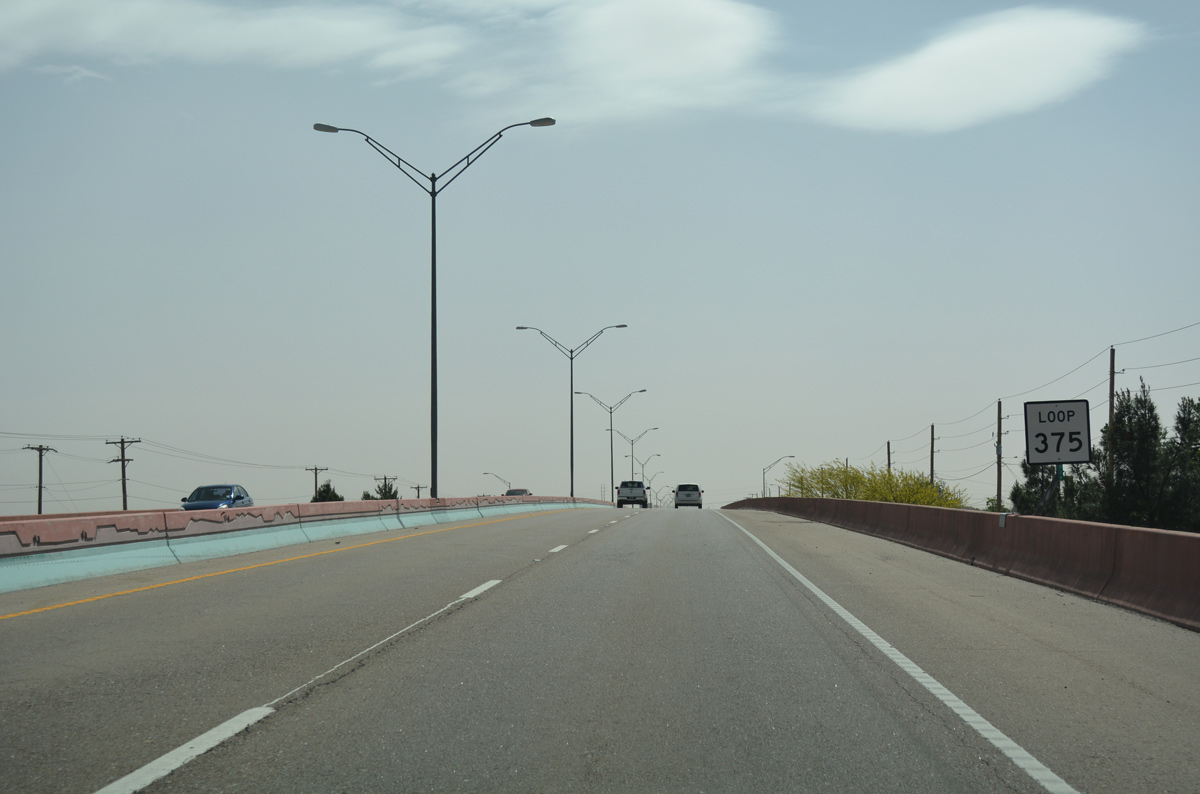
Leading east from the three-level interchange with U.S. 54 (Patriot Freeway), SL 375 (Woodrow Bean Transmountain Drive) progresses a half mile east to Exit 22 the off-ramp for U.S. 54 Business (Dyer Street).
04/25/17
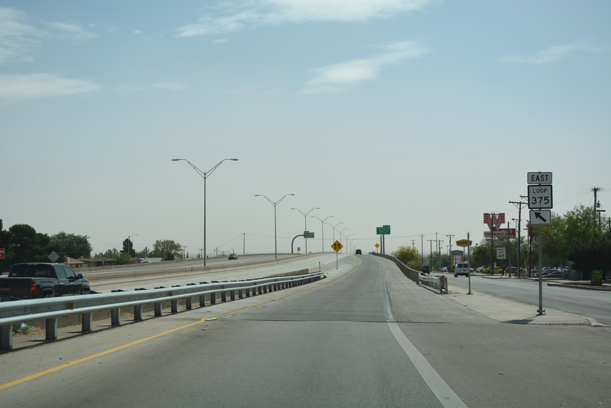
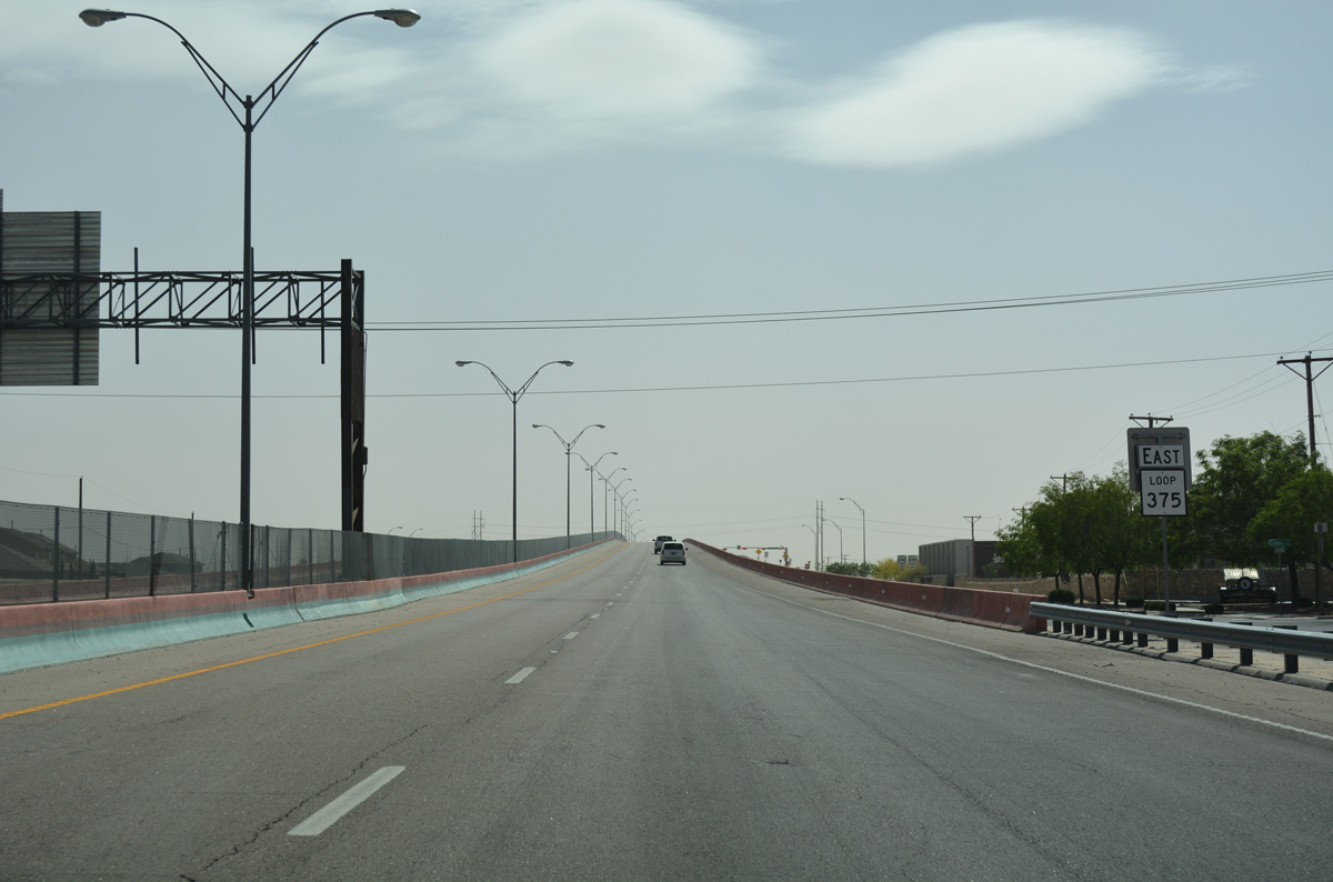
Motorists accessing SL 375 from U.S. 54 utilize the Woodrow Bean Transmountain Drive frontage roads to access the east-west freeway.
04/25/17
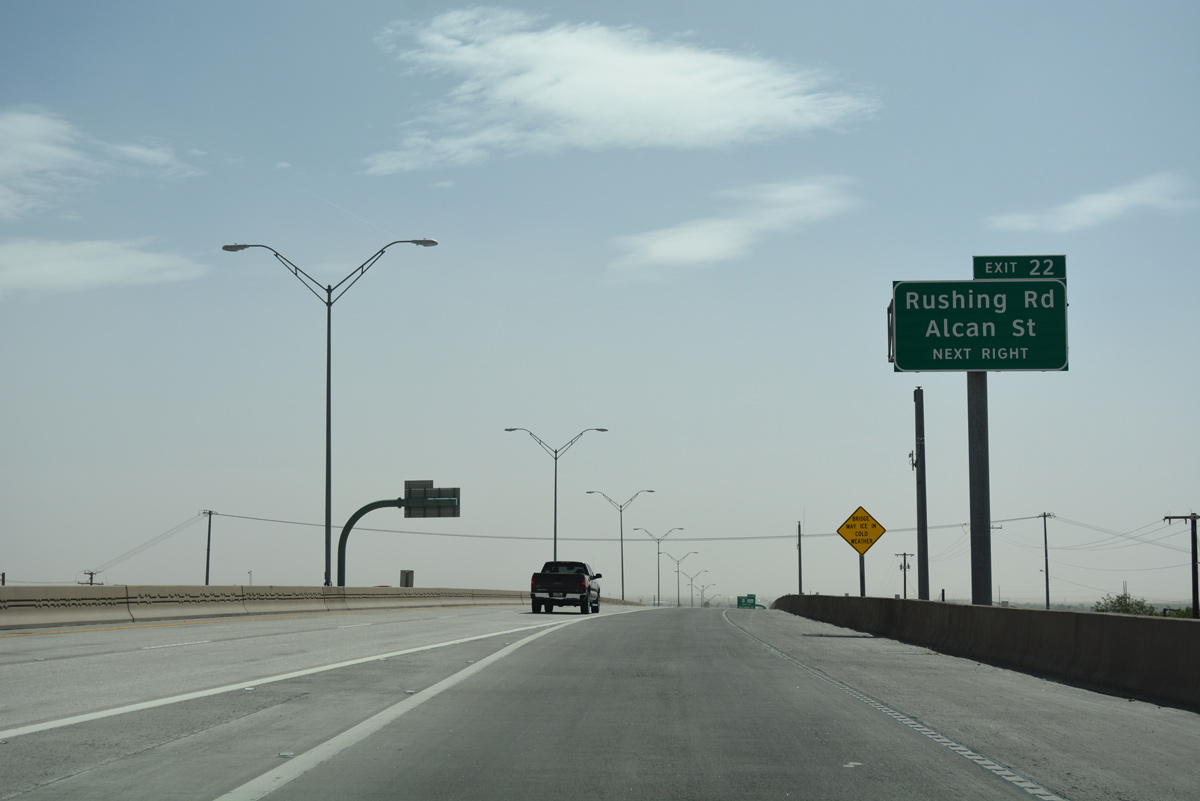
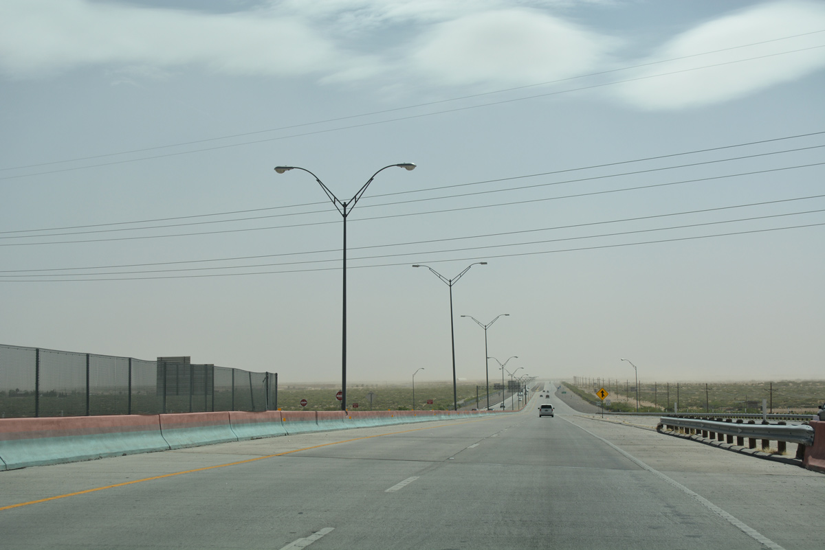
Exit 22 joins the south side frontage road ahead of Rushing Road, a north-south arterial to Milagro Hills and the Rushfair retail area. Alcan Street, a collector leading north to the Sun Valley East community, follows.
04/25/17
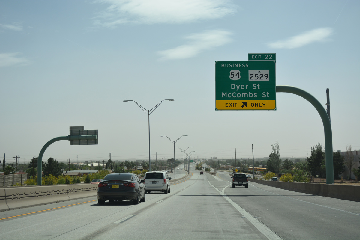
U.S. 54 Business (BU 54A) angles northeast from U.S. 54 (Patriot Freeway) along Dyer Street to the New Mexico state line. FM 2529 (McCombs Street) stems north from Dyer Street nearby to Northeast El Paso.
04/25/17
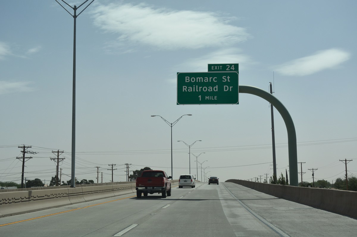
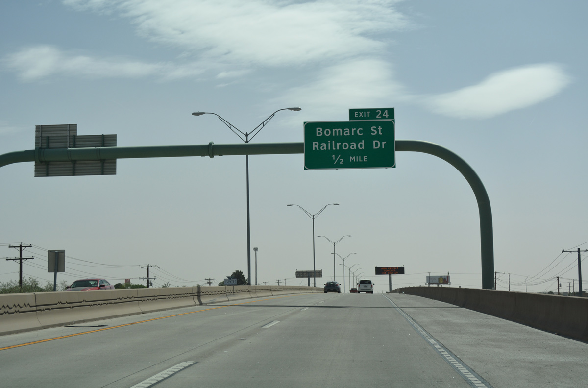
A split diamond interchange (Exit 24) joins SL 375 with Bomarc Street next in one mile.
04/25/17
Bomarc Street links the freeway with Parkland and Parkland High School to the north and the Dolphin community to the south.
04/25/17
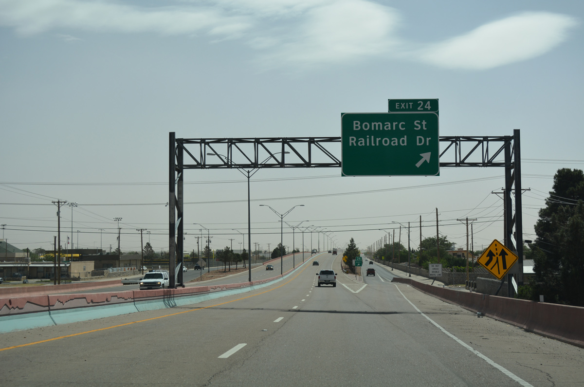
Exit 24 consists of a slip ramp onto the south side frontage road ahead of Bomarc Street. Railroad Drive parallels the Union Pacific Railroad and the boundary of Fort Bliss Military Reservation just to the east.
04/25/17
Confirming marker for State Loop 375 at the Bomarc Street underpass.
04/25/17
Passing the on-ramp from Bonmac Street, SL 375 (Woodrow Bean Transmountain Drive) elevates across Railroad Drive, the UP Railroad and a military access road within Fort Bliss.
04/25/17
A half diamond interchange provides direct access with Railroad Drive to SL 375 east and from SL 375 west.
04/25/17

Photo Credits:
- Kevin Trinkle: 09/28/06
- ABRoads: 04/25/17
Connect with:
Page Updated Friday February 02, 2018.