
State Highway 288 North - Houston
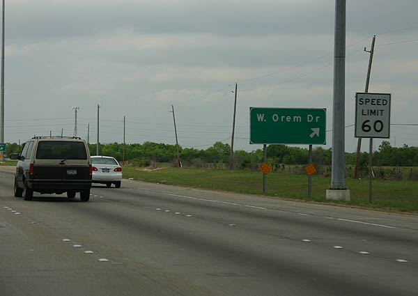
After Beltway 8, the first exit is West Orem Drive.
04/16/06
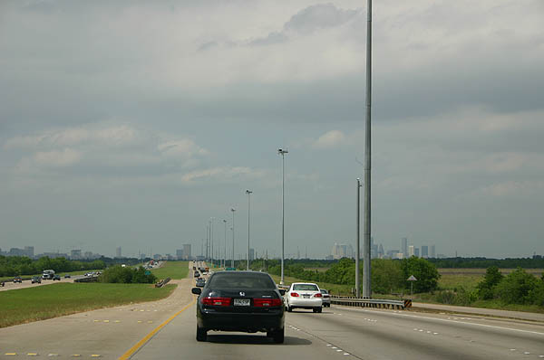
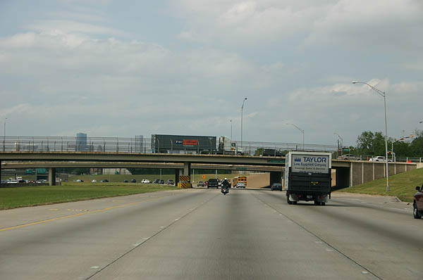
This is a typical profile of SH 288 with the wide median and no frontage roads. The south side of Houston is relatively undeveloped, as can be seen by the view of downtown from here.
04/16/06
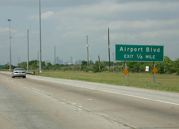
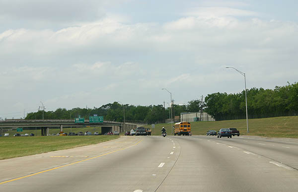
The next exit is Airport Boulevard.
04/16/06
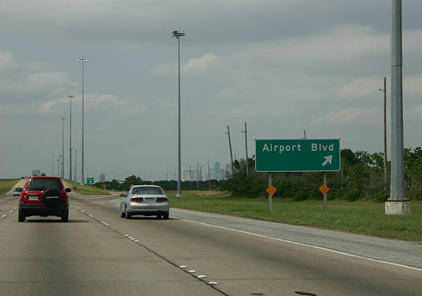
Airport Boulevard exits here. Notice the lack of overhead sign � in many ways, this feels like a rural freeway.
04/16/06
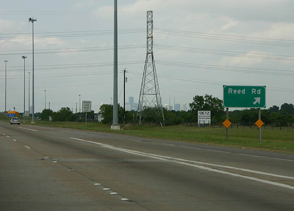
The next exit is Reed Road.
04/16/06
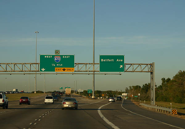
Bellfort Ave is the next exit. This is followed by Loop 610.
11/02/05
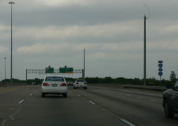
Seeing a reassurance marker at an exit is rare in Texas. This marker is posted due to IH 610 being a designated Hurricane evacuation route from SH 288.
04/16/06
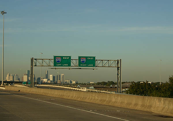
The ramp to IH 610 separates into two directions.
11/02/05
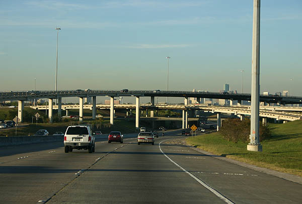
This is a view of the IH 610/SH 288 stack interchange. SH 288 is the lowest level of this interchange.
11/02/05
This sign is a relic of the original design. SH 288 featured inner express lanes and outer local lanes, similar to the design of U.S. 54 in El Paso. Only the outer local lanes were ever built due to funding problems. Today, the inner express lanes are under study as a possible toll road corridor.
11/02/05
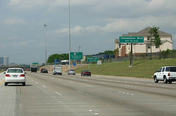
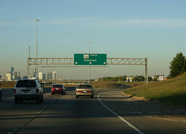
Advance signage for Yellowstone Boulevard.
04/16/06
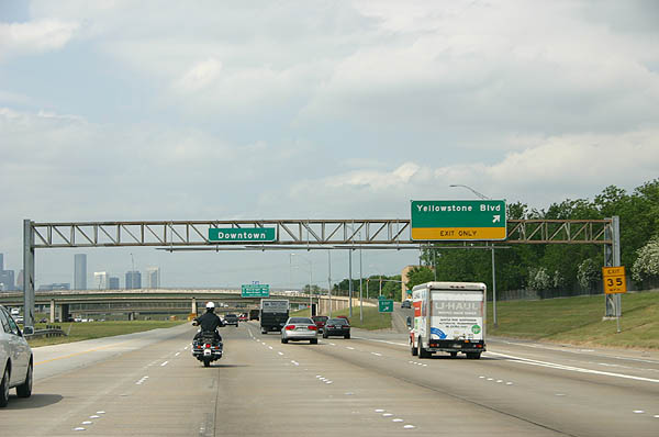
Yellowstone Boulevard exits here.
11/02/05
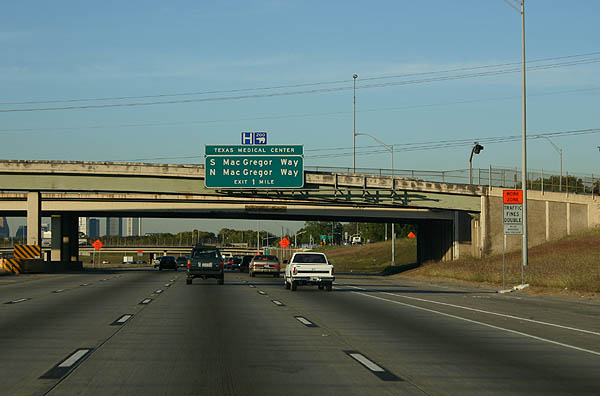
Advance signage for S MacGregor Way and N MacGregor Way, serving the Texas Medical Center. Photo taken 11/2/05.
Inside Loop 610, this is a typical view of the below grade SH 288. Notice the wide median.
04/16/06
SH 288 is unusual for being completely below grade for a long distance.
04/16/06
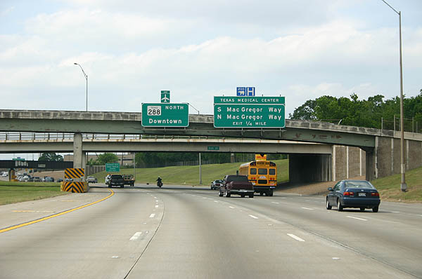
South and North MacGregor Way are served by the next exit.
04/16/06
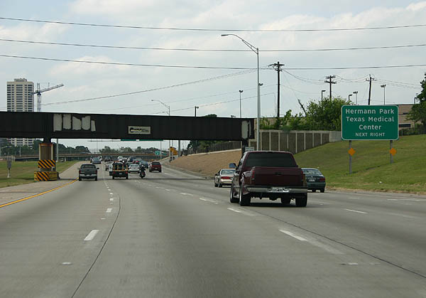
Use MacGregor Way to reach Hermann Park and the Texas Medical Center. Hermann Park is home to the Houston Zoo and the Museum District.
04/16/06
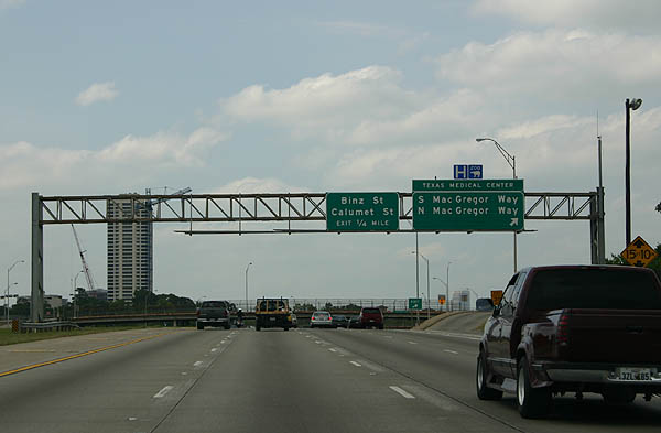
South and North MacGregor Way exit here. The next exit serves Binz Street and Calumet Street.
04/16/06
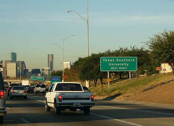
Use Southmore Street to reach Texas Southern University.
11/02/05
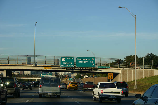
Southmore Street and Blodgett Street exit here. The next exit is US 59.
11/02/05
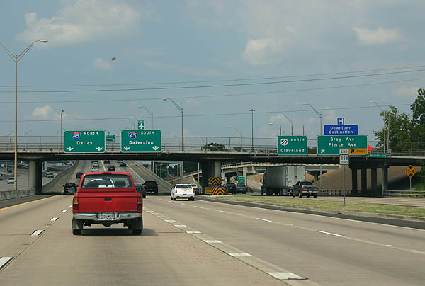
Advance signage for the US 59/SH 288 separation. Use the left lanes for SH 288 and IH 45, and the right lanes for US 59 north.
04/16/06
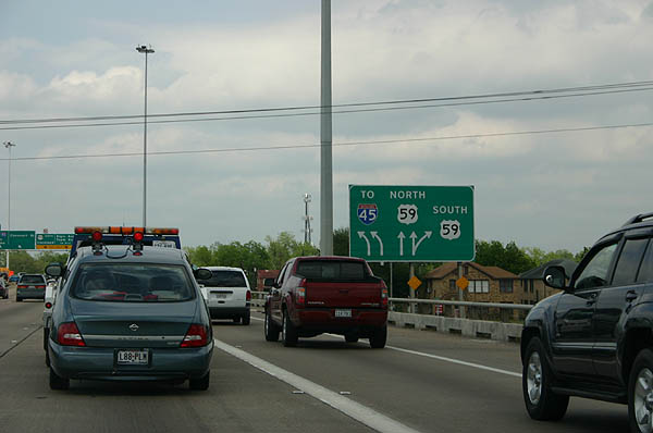
This lane diagram shows the rather complicated interchange that begins with SH 288 and includes the IH 45/US 59 stack.
04/16/06
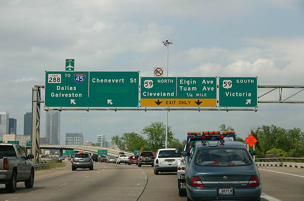
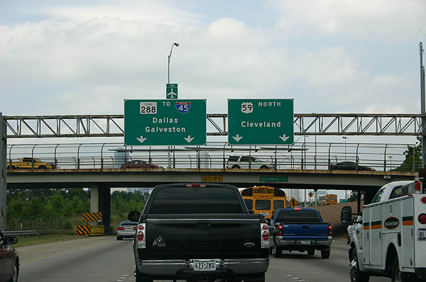
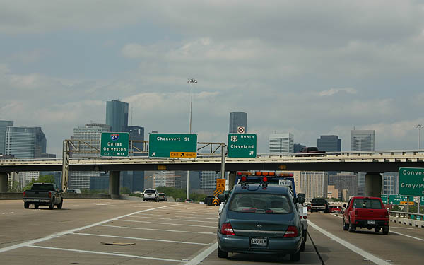
The split between US 59 South, US 59 North, Chenevert Street, and IH 45. SH 288 continues to IH 45 after this split, but the majority of traffic takes US 59 North from here.
04/16/06
This overhead sign follows the previous one, and does not include US 59 south. SH 288 continues a short distance in the median of US 59 to end (with an End SH 288 sign, unusual for Texas) before the ramps to IH 45.
04/16/06
SH 288 crosses into the median of US 59 and ends at this end shield, before becoming ramps to IH 45.
07/16/06
Photo Credits:
- Kevin Trinkle: 11/02/05, 04/16/06, 07/16/06
Connect with:
Page Updated Monday August 07, 2006.