
State Highway 288 North - Freeport to Pearland
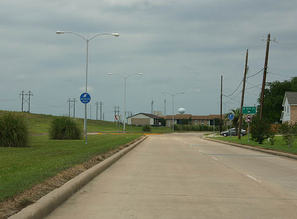
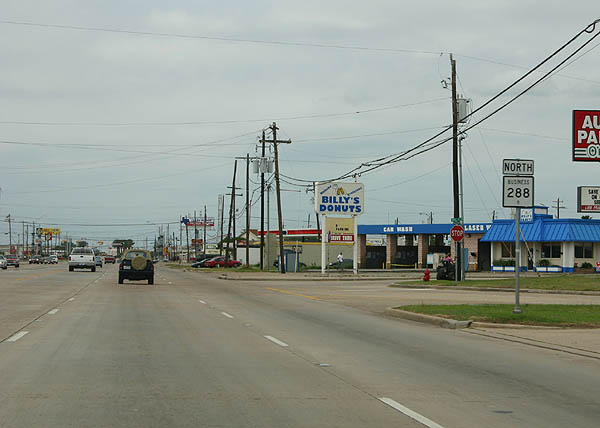
Texas 288 begins at the Texas 36 intersection with FM 1495 (Pine Street) in Freeport. The two highways travel concurrently to a folded diamond interchange with Brazosport Boulevard, where Texas 288 turns northward. Brazosport Boulevard parallels a levee along the Brazos River and intersects 8th Street in this scene.
04/16/06
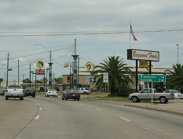
FM 523 travels Gulf Boulevard east from Texas 288 (Brazosport Boulevard) to Velasco Boulevard in the Velasco section of Freeport. Connections with Texas 332 south lead drivers to Surfside Beach on the Gulf of Mexico.
04/16/06
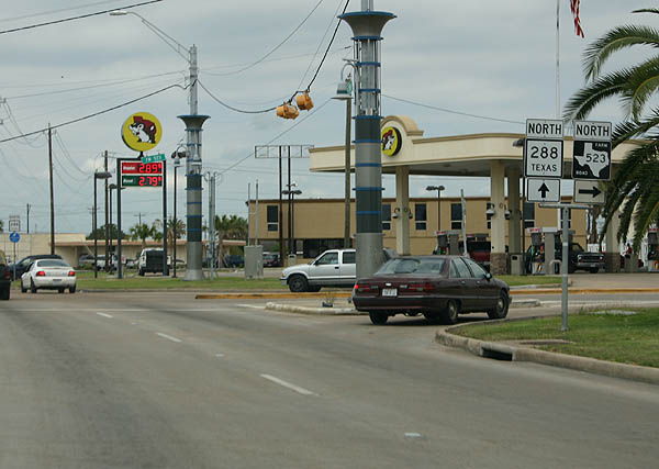
Texas 288 (Brazosport Boulevard) north at the north end of FM 523 (Gulf Boulevard). FM 523 meanders 25.8 miles northward from Oyster Creek to Bastrop Beach and a bypass routing of Angleton. The FM road meets Texas 288 near its north end.
04/16/06
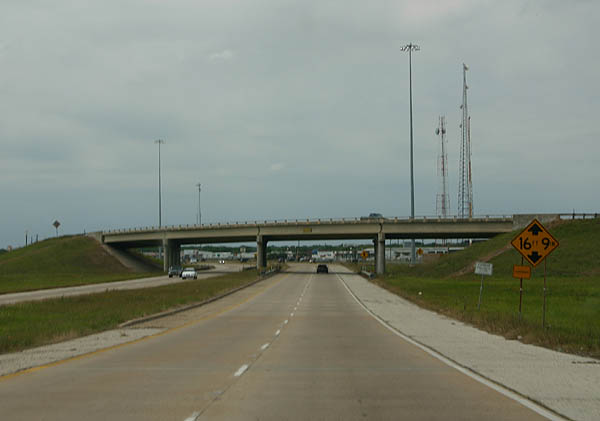
Texas 288 (Brazosport Boulevard) angles northwest through north Freeport to industrial south Lake Jackson.
04/16/06
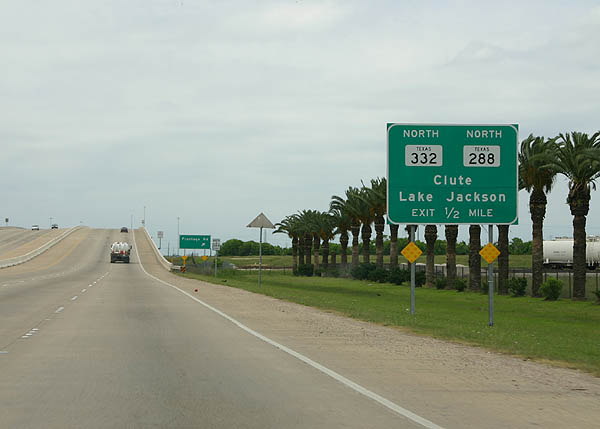
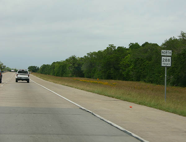
Texas 288 nears Texas 332 and its split with Brazosport Boulevard. The two state highways merge on a bypass of Clute, Richwood, and Angleton.
04/16/06
A slip ramp carries Texas 288 northbound travelers onto the Texas 332 frontage road system (Crescent Heights Street) around the three-quarter cloverleaf interchange between the two state highways.
04/16/06
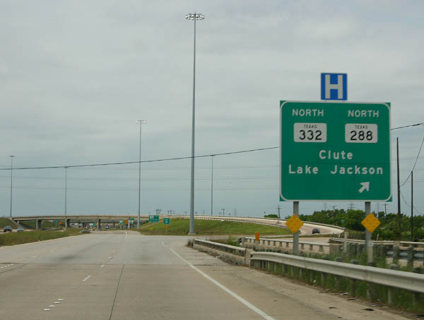
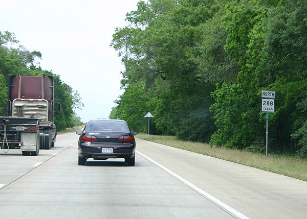
Texas 332 merges with Texas 288 from Oyster Creek and Surfside Beach to the southeast. The two highways travels west between industrial south Lake Jackson and Clute along a drainage canal. Brazosport Boulevard continues north along the old route through Clute to Richwood and Angleton.
04/16/06
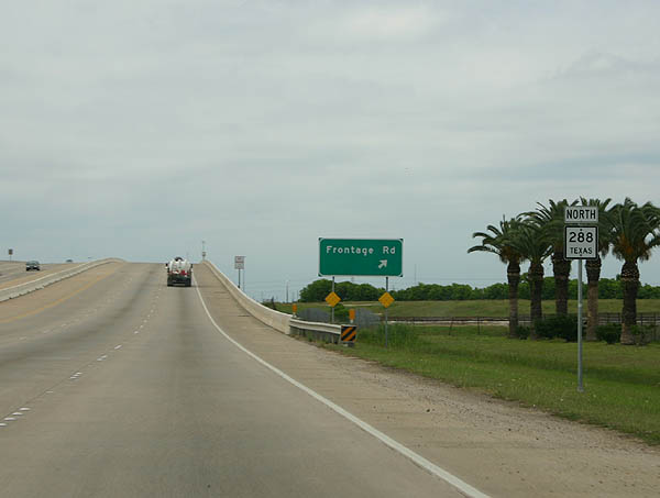
Curving west on Texas 288 ahead of the merge with Texas 332. Texas 288 Business totals 20.2 miles between Clute and a point north of Angleton.
04/16/06
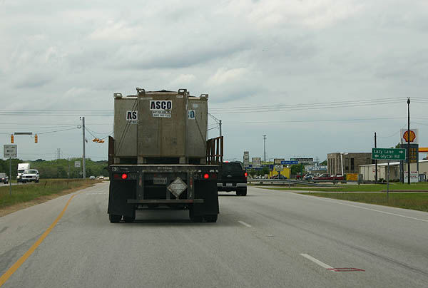
Several signalized intersections lie along the Clute bypass to Lake Jackson, such as this one with Lazy Lane north and Glycol Road south.
04/16/06
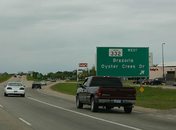
Texas 332 splits with Texas 288 north at Oyster Creek Drive and the Brazos Mall in west Lake Jackson. Texas 332 continues west to Brazoria and Texas 36. Oyster Creek Drive heads east through Lake Jackson to Brazosport College.
04/16/06
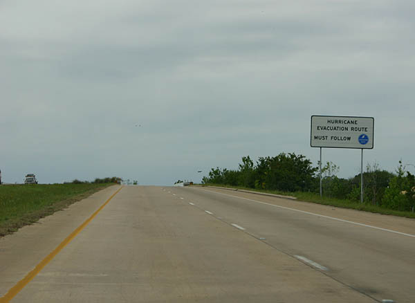
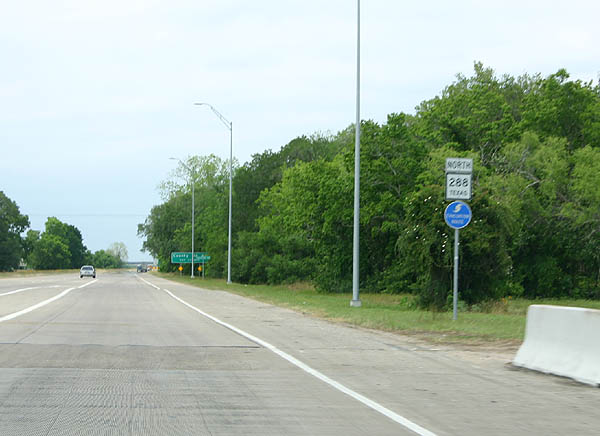
Texas 288 also represents a hurricane evacuation route leading north from Freeport to the Houston freeway system.
04/16/06
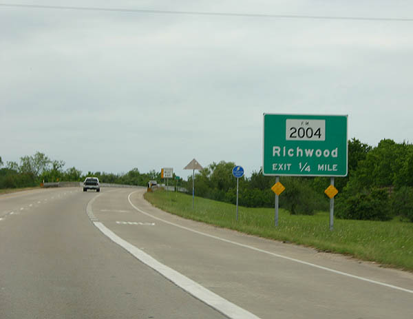
A second interchange joins Texas 288 with FM 2004 north of the Brazos Mall. FM 2004 connects Lake Jackson with Texas 36 and FM 2611 west of Jones Creek to the south and Richwood to the east.
04/16/06
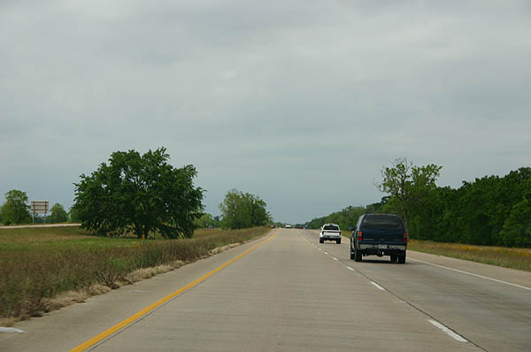
An undeveloped freeway like stretch of Texas 288 carries drivers northward toward Brazoria County Route Airport (LBX).
04/16/06
Texas 288 reassurance marker posted on the drive between Lake Jackson and Angleton.
04/16/06
A second Texas 288 shield posted ahead of the diamond interchange with Brazoria County Route 220.
04/16/06
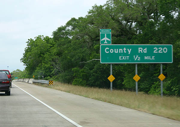
Brazoria County Route 220 (Coale Road) connects Texas 288 with Airport Way and Brazoria County Route Airport west of the expressway. Eastward the route heads to south Angleton.
04/16/06
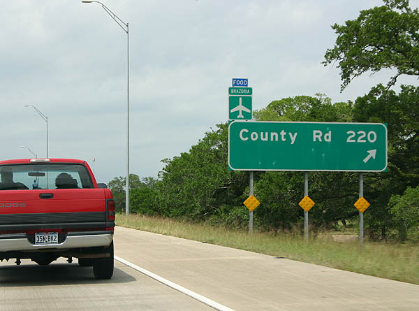
Drivers bound for the airport and Coale Road east to Texas 288 Business (Front Street) and Angleton depart Texas 288 north.
04/16/06
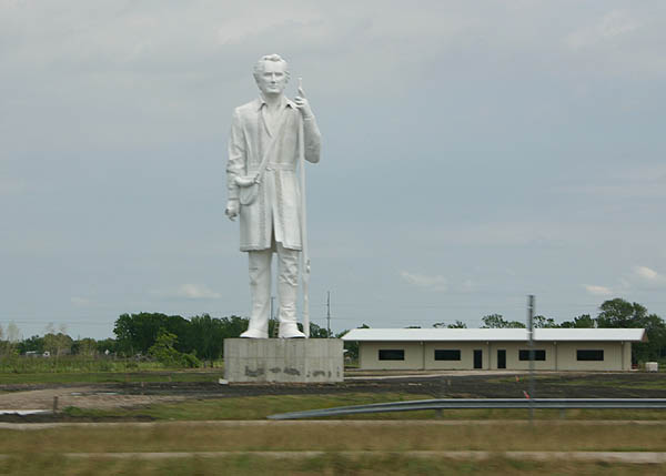
TheStephen F. Austin Statueresides within the Henry W. Munson Park in Angleton. Rising 60 feet high, the "Father of Texas" statue was crafted to honor the former Secretary of State and early Texas colonist.
04/16/06
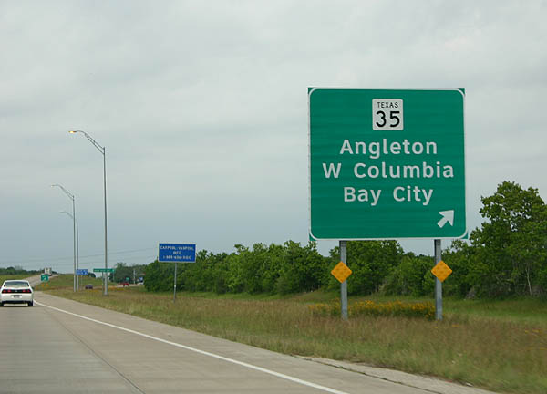
Texas 35 (Jimmy Phillips Boulevard west / Mulberry Street) east travels between downtown Angleton and Bailey's Prairie within the vicinity of its diamond interchange with Texas 288. The state highway travels through the coastal counties of Texas between Port Lavaca, Palacios, Bay City, West Columbia and Angleton.
04/16/06
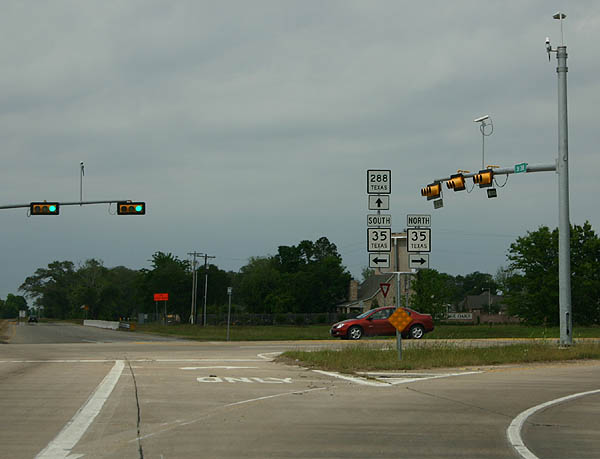
Shield assembly posted within the Texas 288 diamond interchange with Texas 35 (Mulberry Street) in west Angleton. Texas 35 travels a short distance east into downtown before curving northeast to Alvin.
04/16/06
Reassurance marker and hurricane evacuation route trailblazer posted along Texas 288 northbound after Texas 35.
04/16/06
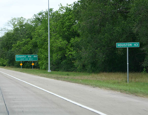
A small mileage sign touts the distance to downtown Houston on Texas 288 north, one half mile south of Brazoria County Route 44 (Anchor Road). Anchor Road and Texas 288 meet at a diamond interchange northwest of Angleton near Holiday Lakes.
04/16/06
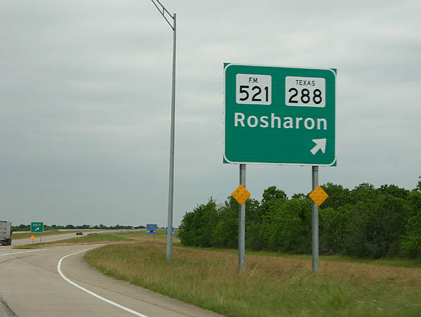
Texas 288 Business returns to Texas 288 north of Angleton and south of Bonney. A diamond interchange facilitates the movements between the two highways south of the Texas 288 Business merge/end with FM 521. FM 521 parallels Texas 288 northward to Rosharon, Juliff, Arcola, and the south Houston suburbs.
04/16/06
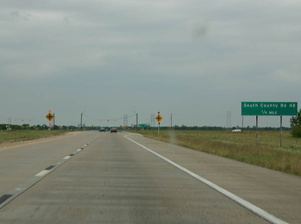
Brazoria County Route 48 (Airline Road) crosses paths with Texas 288 near Bonney. The county highway travels through rural areas midway between Texas 288 and FM 521.
04/16/06
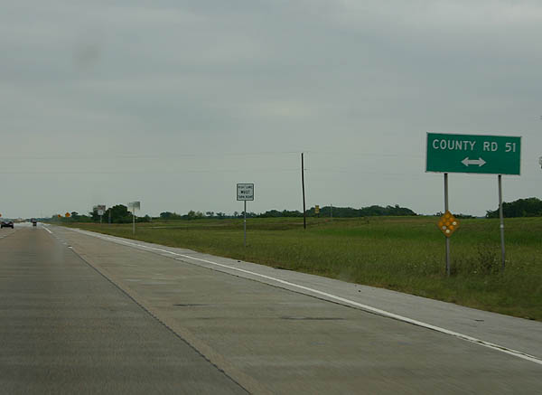
Brazoria County Route 51 stems east from FM 521 in Bonney along Cannon Road to Texas 288. It appears lands at the intersection will accommodate a diamond interchange someday.
04/16/06
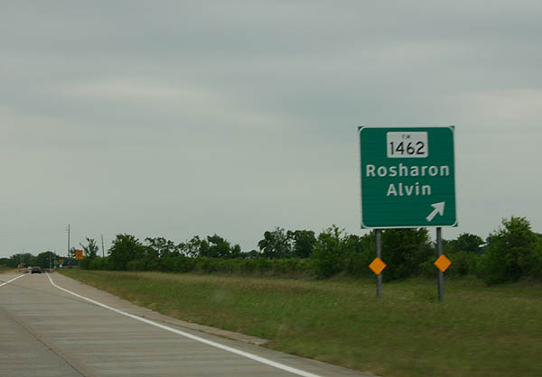
A diamond interchange joins Texas 288 with FM 1462 east of Rosharon. FM 1462 travels 31.8 miles between Texas 36 at Damon to Texas 35 south of Alvin.
04/16/06
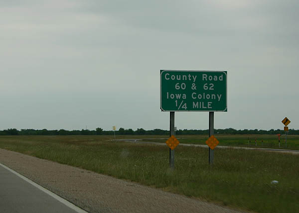
Brazoria County Route 60 meets Texas 288 at the next at-grade intersection. A frontage road system provides the movements north to Brazoria County Route 62. No turns are permitted from Texas 288 at CR 62 otherwise.
04/16/06
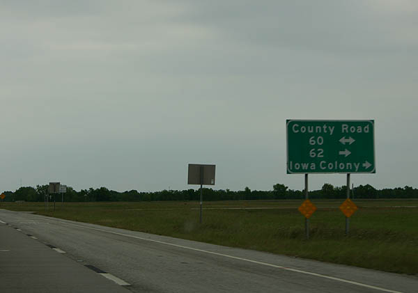
Brazoria County Route 60 west ends at Brazoria County Route 48; eastbound leads to Brister Road. Green Valley Road constitutes the frontage road system north to County 62 in southern reaches of Iowa County.
04/16/06
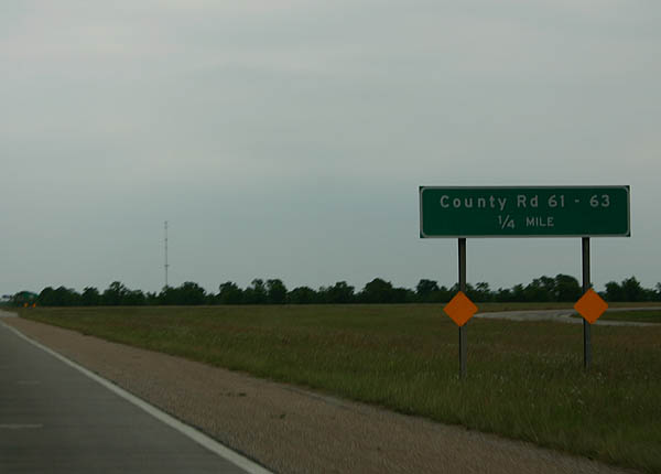
A short connector road joins the Texas 288 mainline with its frontage road system (Green Valley Drive) to provide the connections to Brazoria County Route 61 and 63 to the south. A future diamond interchange will be built here.
04/16/06
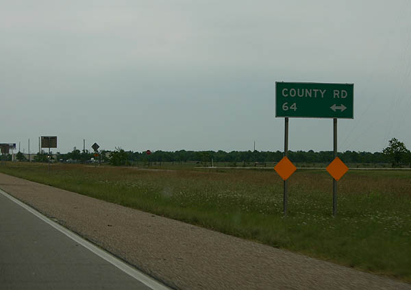
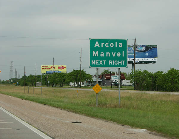
Texas 288 north at Brazoria County Route 64, an east-west road through Iowa Colony between County Road 48 and Masters Road northeast to Manvel.
04/16/06
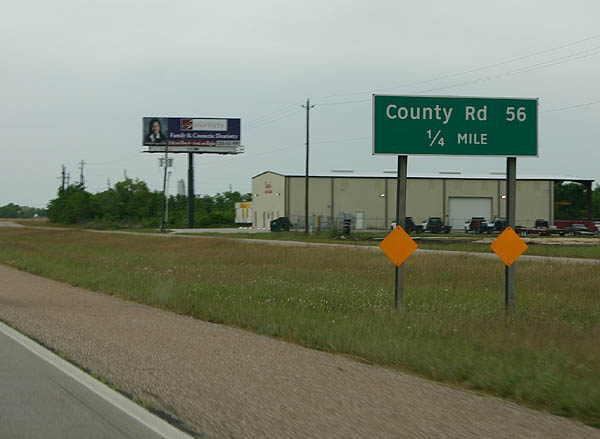
Continuing the county road theme, Texas 288 nears the junction with Brazoria County Route 56. County 56 travels east to Iowa Colony and west to FM 521. A future diamond interchange will replace the at-grade intersection.
04/16/06
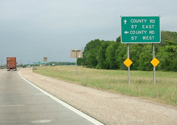
A staggered intersection exists with Brazoria County Route 57 (Juliff Manvel Road) at Iowa Colony. Juliff Manvel Road joins FM 521 at Juliff with Carpenter Road in Manvel.
04/16/06
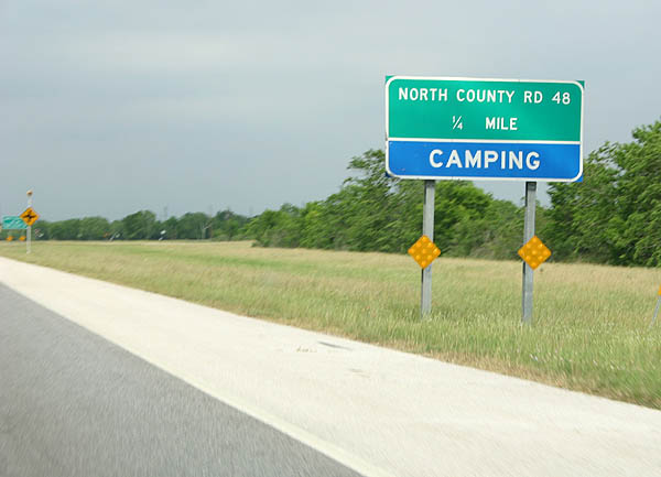
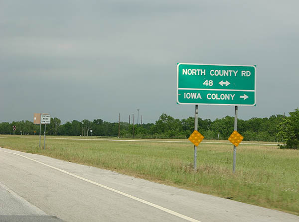
Brazoria County Route 48, a separate section from before, intersects Texas 288 at Iowa Colony. The north-south road continues as Old Airline Road north of Texas 6 (Morris Avenue).
04/16/06
Brazoria County Route 48 south provides the final connection to Iowa Colony from Texas 288 north.
04/16/06
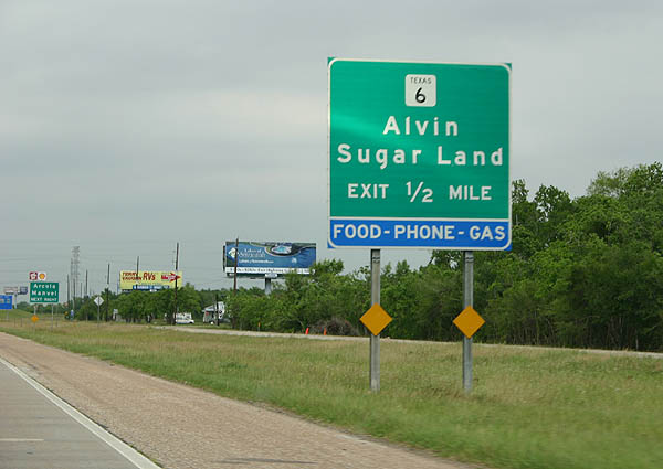
Texas 6, a lengthy highway between La Marque and Waco, crosses paths with Texas 288 at a diamond interchange in west Manvel. The state highway heads northwest to Arcola and Sugar Land in the southwest Houston suburbs.
04/16/06
Auxiliary guide sign touting the smaller towns of Arcola to the west and nearby Manvel to the east. Texas 6 follows Morris Avenue to Arcola and Houston Southwest Airport.
04/16/06
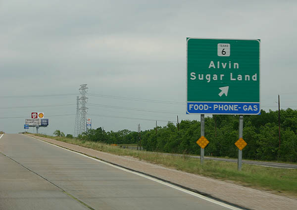
Northbound Texas 288 at the Texas 6 ramp departure to Morris Avenue. Texas 6 travels 11 miles to Alvin (Texas 35) and 17 miles northwest to U.S. 59 at Sugar Land.
04/16/06
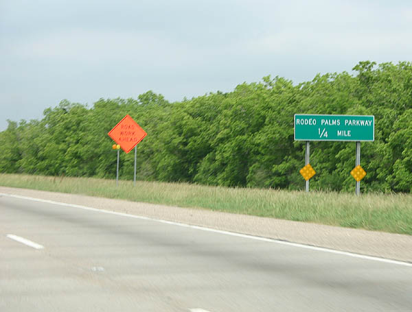
Rodeo Palms Parkway, a fairly new suburban highway, stems west from Texas 288 in Manvel to subdivisions north of Texas 6 and south of Croix Road.
04/16/06
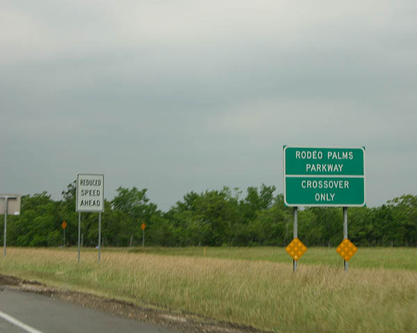
Left-hand turns are not permitted at Rodeo Palms Parkway itself, instead motorists must u-turn onto Texas 288 south to make the connection.
04/16/06
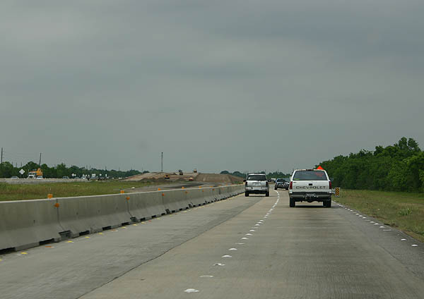
Beginning of the freeway upgrade project of Texas 288 in north Brazoria County.
04/16/06
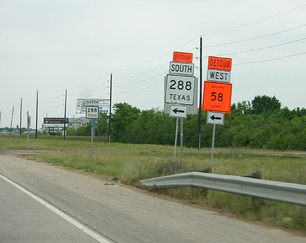
Temporary signage installed along Texas 288 north for Brazoria County Route 58 (Croix Road) during the conversion of the at-grade intersection into a diamond interchange.
04/16/06
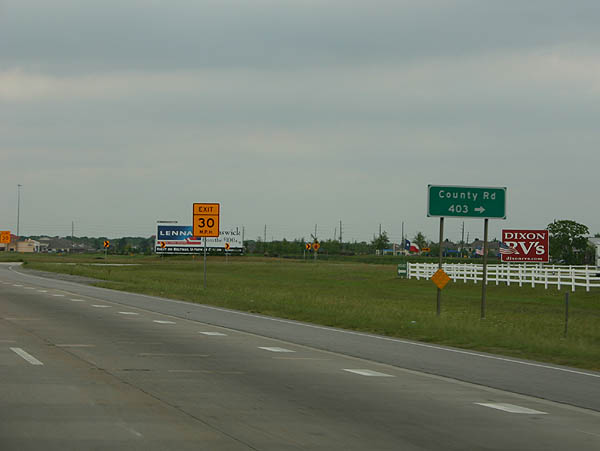
A right-hand turn facilitates the movement from Texas 288 north onto Brazoria County Route 403 (Hughes Ranch Road) east. Hughes Ranch Road serves a myriad of subdivisions between the freeway and Cullen Boulevard (Texas Urban Road 865).
04/16/06
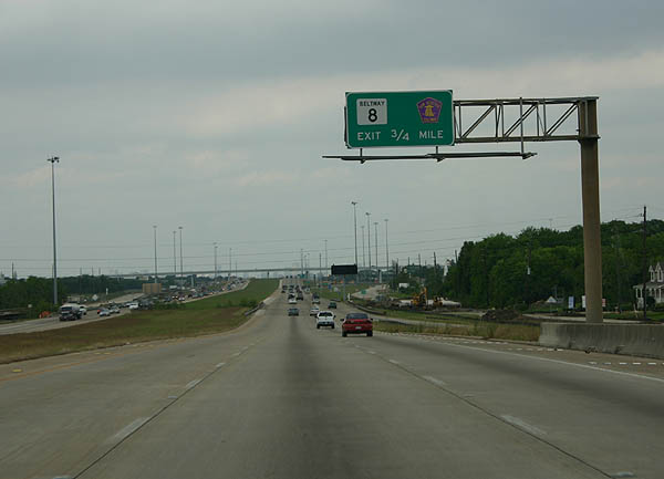
North of the FM 2234 diamond interchange, Texas 288 approaches the "volleyball" interchange with Texas Beltway 8 / Texas Toll 8 (Sam Houston Tollway). Connections between the two roads are made at signalized intersections with the respective frontage roads.
04/16/06
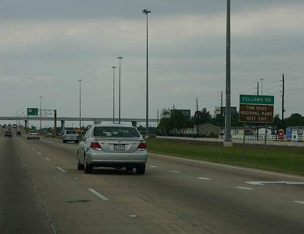
Use Texas Beltway 8, the frontage road system of Texas Toll 8, east to Fellows Road and Tom Bass Regional Park. Fellows Road continues Scott Street south from the toll road to the park and Cullen Boulevard to the east.
04/16/06
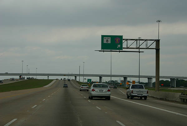
No control cities are used for Texas Toll 8 from Texas 288 north. The Sam Houston Tollway / Parkway encircles much of Houston through the outer suburbs. Texas Toll 8 east continues to Pearland and Pasadena while west bends northward by Missouri City, Stafford, and Sugar Land.
04/16/06
Photo Credits:
- Kevin Trinkle: 04/16/06
Connect with:
Page Updated Thursday May 15, 2008.