
U.S. 1 Bypass - Portsmouth / Kittery

U.S. 1 Bypass provides an alternate route to U.S. 1 across the Piscataqua River between Portsmouth, New Hampshire and Kittery. The US route leads northward from Lafayette Road in Portsmouth, New Hampshire along an urban expressway to Portsmouth Circle, where U.S. 4 west and NH 16 (Spaulding Turnpike) begin. Turning east from the circle and ramps to I-95, U.S. 1 Bypass travels below Woodbury and Maplewood Avenues and crosses the Piscataqua River between Nobles Island and Oak Terrace within the town of Kittery, Maine. The route angles more northerly through Kittery to an interchange with State Route 236 at Remicks Corners ahead of the merge with U.S. 1 near Spruce Creek.
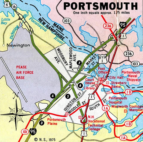
The 1975 Official New Hampshire Highway Map showed all of U.S. 1 Bypass as a limited access highway.
Changes to U.S. 1 Bypass in Portsmouth were made between September 18, 2012 and August 2014 with the replacement of the wye interchange at Lafayette Road (U.S. 1 north into Portsmouth) with an at-grade intersection. The $4.8 million project1 at Lafayette Road preceded work through Fall 2016 to replace overpasses at Middle Road, Islington Street, Woodbury Avenue, Stark Street and Maplewood Avenue.2 The bridges between Lafayette Road and Portsmouth Circle dated to 1939.1
The original Sarah Mildred Long Bridge, dating back to 1940, was replaced with a new span during construction from 2015 to late 2017.
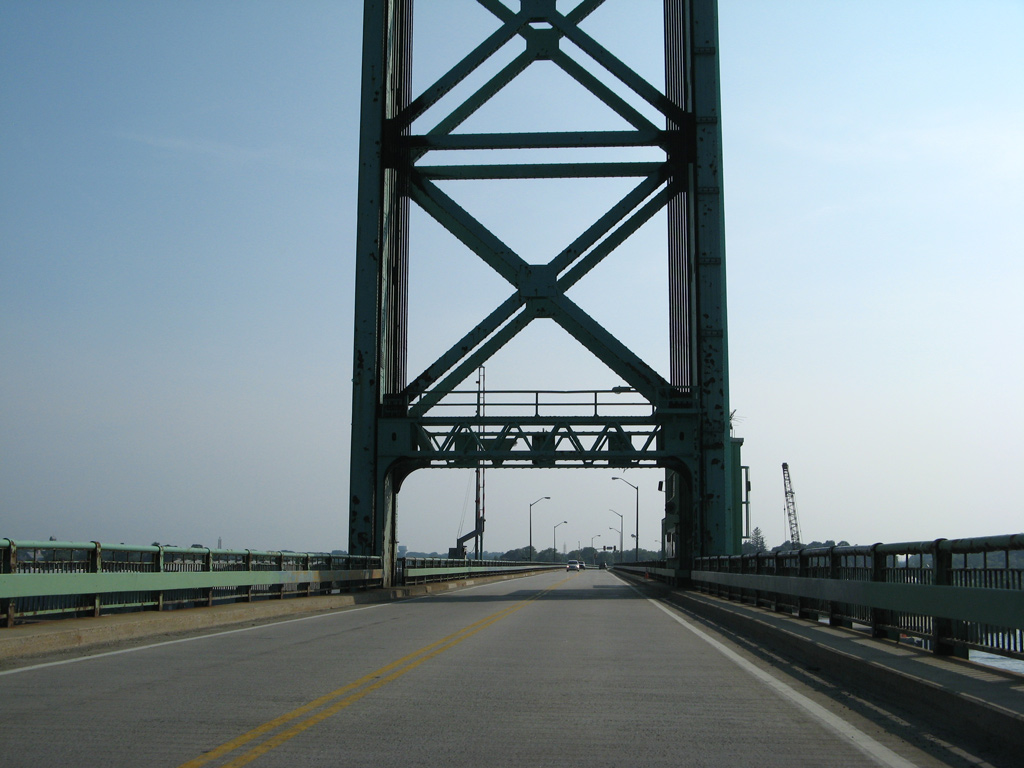
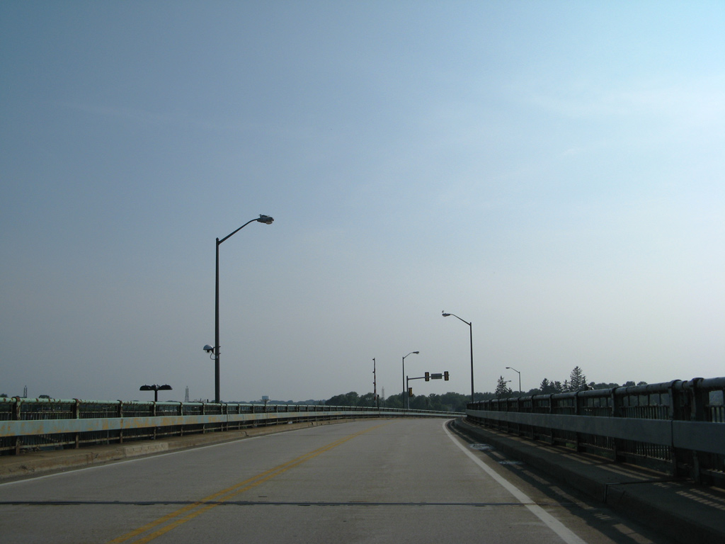
U.S. 1 Bypass entered New Hampshire at the south tower of the Sarah Mildred Long Bridge across the Piscataqua River. The two lane route passed over Nobles Island, Market Street and North Mill Pond before touching down in Portsmouth.
07/29/07
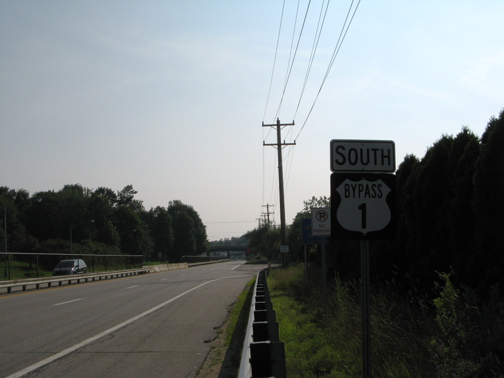
U.S. 1 Bypass south at the access road to Albacore Park and Market Street. The wider area of pavement here once housed a toll plaza.
07/29/07
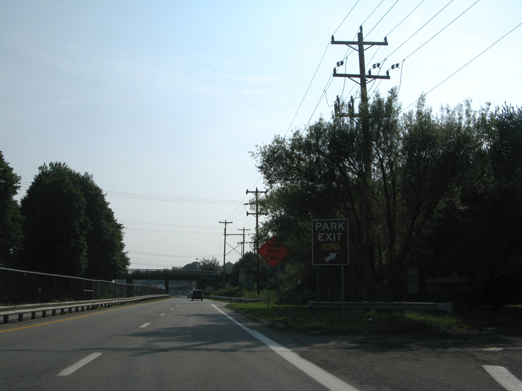
A loop ramp previously departed U.S. 1 Bypass for Albacore Park ahead of the Maplewood Avenue overpass. This ramp closed by 2011.
07/29/07
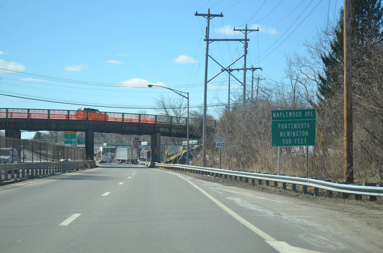
Maplewood Avenue passes over U.S. 1 Bypass from Downtown Portsmouth northwest to Woodbury Avenue. Cutts Street connects the US route with Maplewood Avenue in 500 feet.
03/26/13
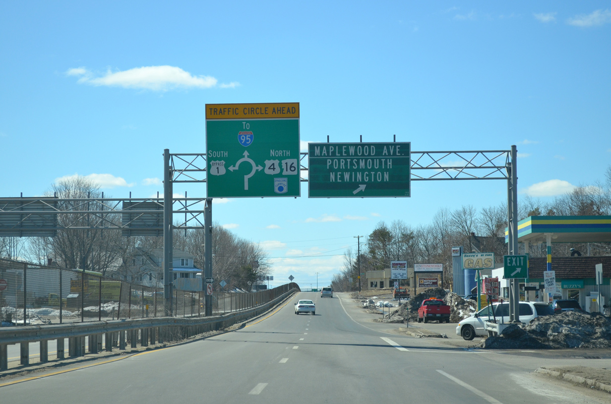
Maplewood Avenue leads motorists north to Newington by way of Woodbury Avenue. Woodbury Avenue is the former alignment of both U.S. 4 and NH 16 leading north from Portsmouth to the General Sullivan Bridge into Dover. U.S. 1 Bypass meets the Spaulding Turnpike directly at the upcoming Portsmouth Circle.
03/26/13
Four lanes of U.S. 1 Bypass continue southwest below the Stark Street overpass to Portsmouth Circle and the south end of the Spaulding Turnpike (NH 16) and east end of U.S. 4.
03/26/13
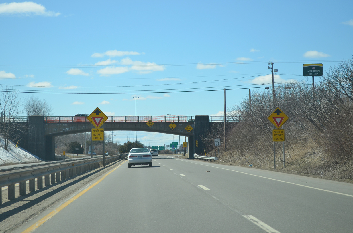
A low clearance overpass carries Woodbury Avenue (former U.S. 4/NH 16) across U.S. 1 Bypass. A folded diamond interchange joins the avenue with the four lane expressway below.
03/26/13
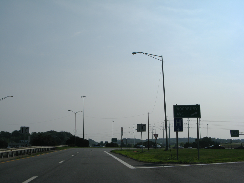
A loop ramp departs for Woodbury Avenue, which leads south to a residential area and north to Newington and The Mall at Fox Run.
07/29/07
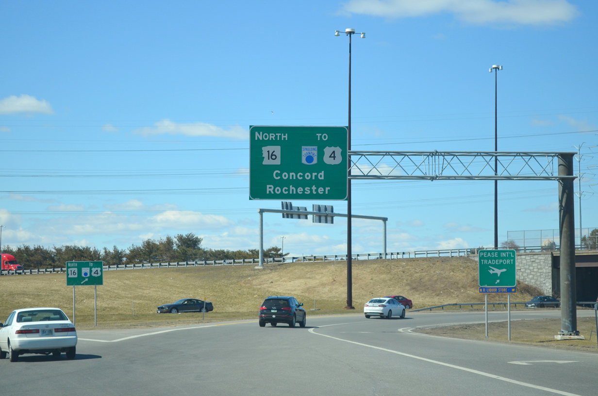
Entering Portsmouth Circle, U.S. 1 Bypass first encounters the Spaulding Turnpike (NH 16) north to Dover, Rochester and Union and U.S. 4 west to Durham and Concord.
03/26/13
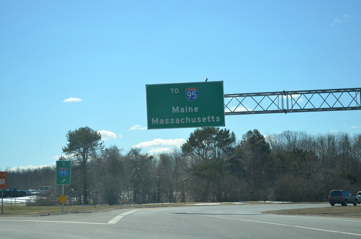
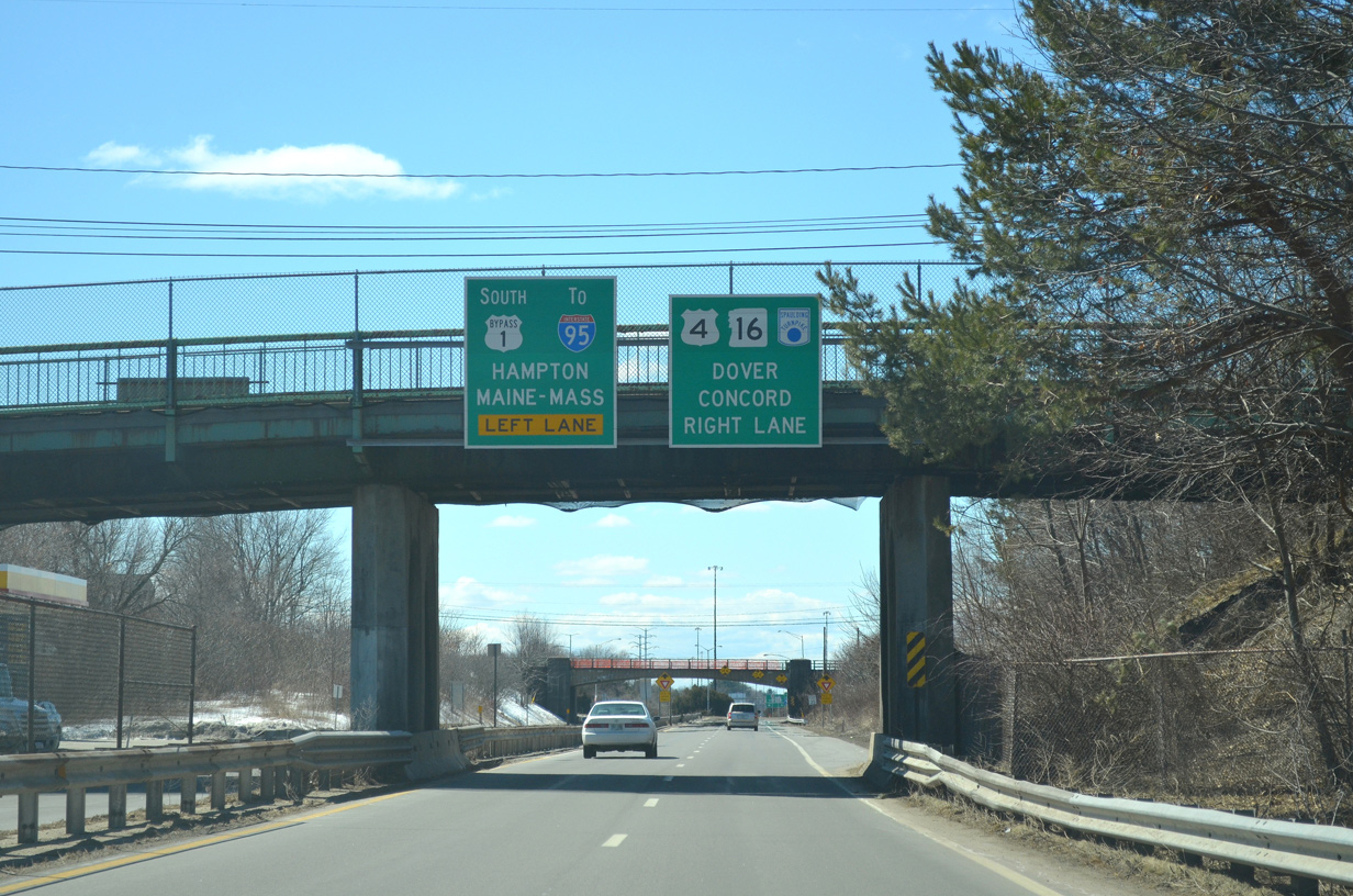
Continuing through the rotary, U.S. 1 Bypass meets the ramp for Interstate 95 (Blue Star Turnpike). This ramp represented the I-95 mainline until the Piscataqua Bridge was completed in 1972.
03/26/13
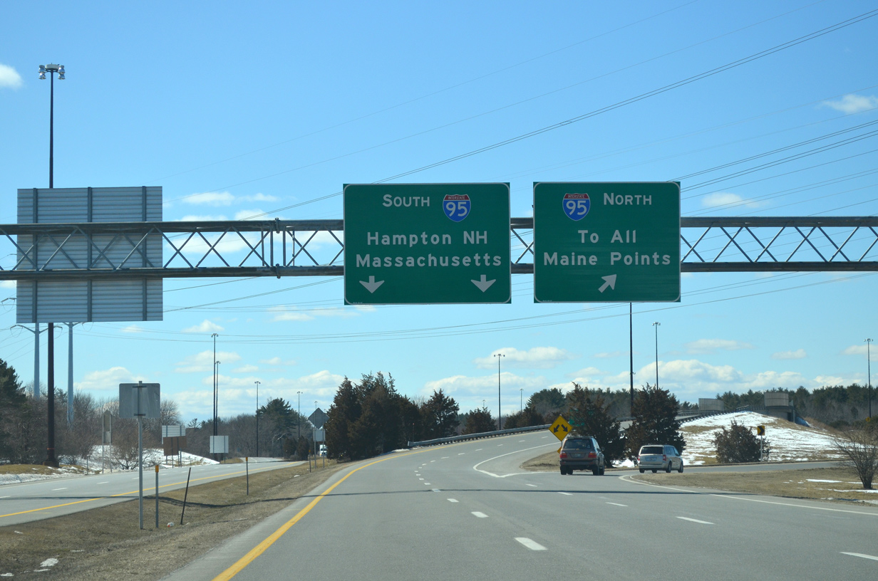
The ramp from Portsmouth Circle to I-95 provides two lanes for the Blue Star Turnpike south to Hampton and Boston, Massachusetts and a loop ramp back north into Maine.
03/26/13
References:
- "N.H. DOT project aims to revamp Route 1 Bypass." Seacoastonline.com, September 3, 2012.
Photo Credits:
- AARoads: 07/29/07
- I.C. Ligget: 03/26/13
Connect with:
Page Updated Tuesday November 22, 2016.