
U.S. 1 North - Cross Key to Homestead

 North
North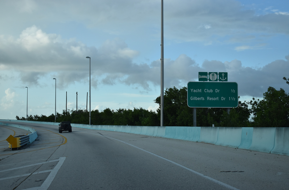
Completed in 2009, widening of U.S. 1 between Key Largo and the previous draw bridge across Jewfish Creek, replaced the causeway with an elevated two lane viaduct.1 At-grade entrances to businesses along Jewfish Creek were removed.
10/17/20
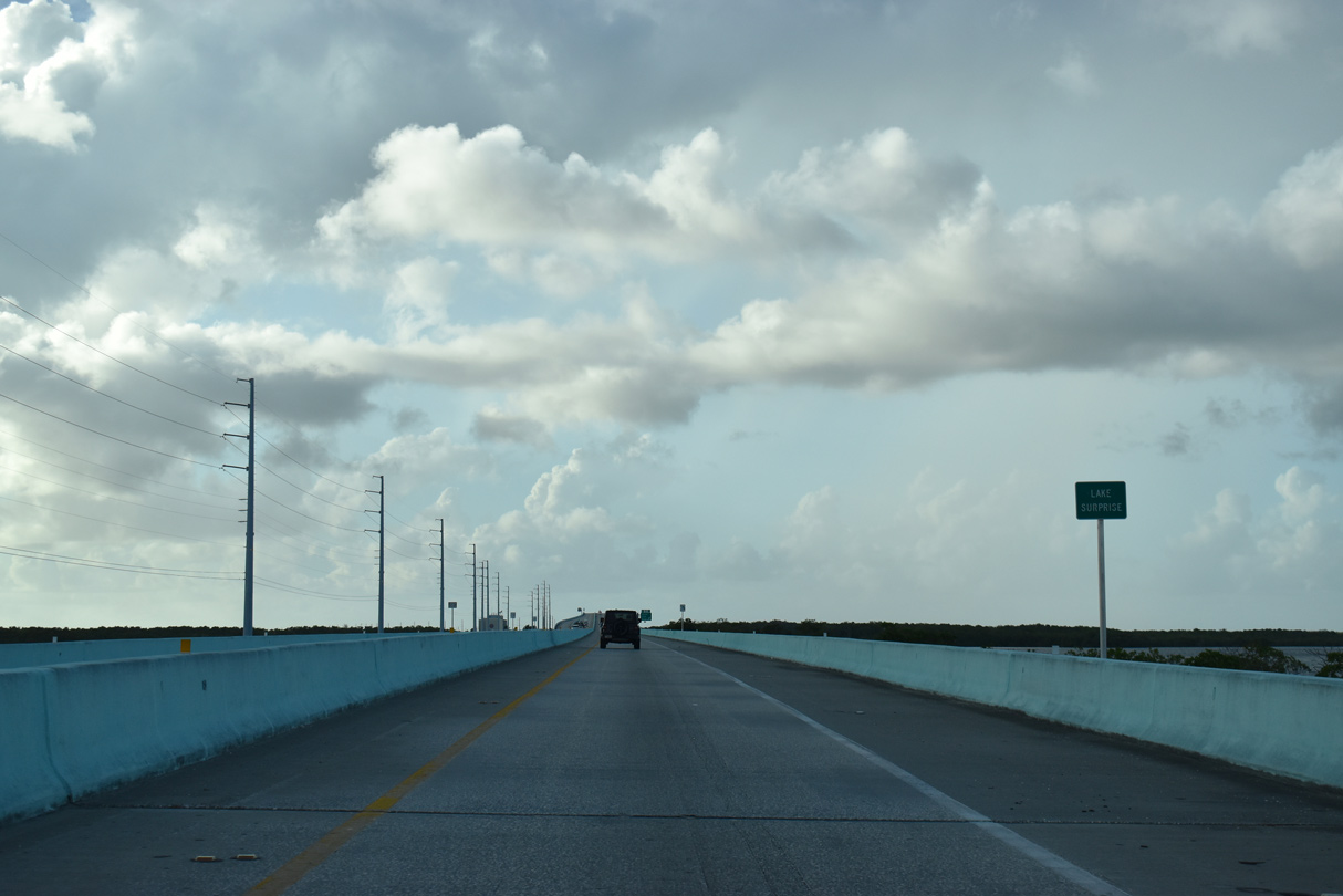
U.S. 1 crosses the middle of Lake Surprise northwest to Yacht Club Drive. The lake took early railroad builders by surprise, hence its name.2
10/17/20
03/25/06
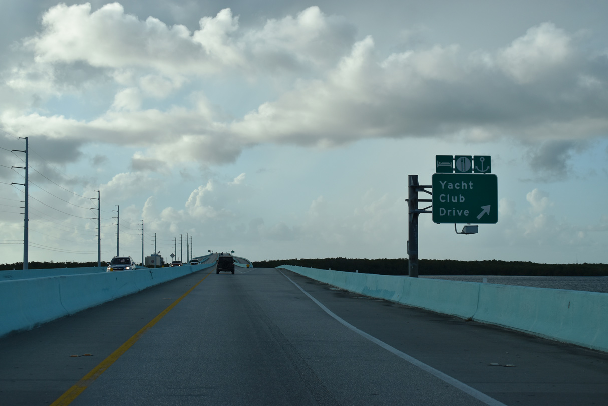
A diamond interchange and roundabout connects Overseas Highway with Yacht Club Drive to the resort along the east side of Jewfish Creek.
10/17/20
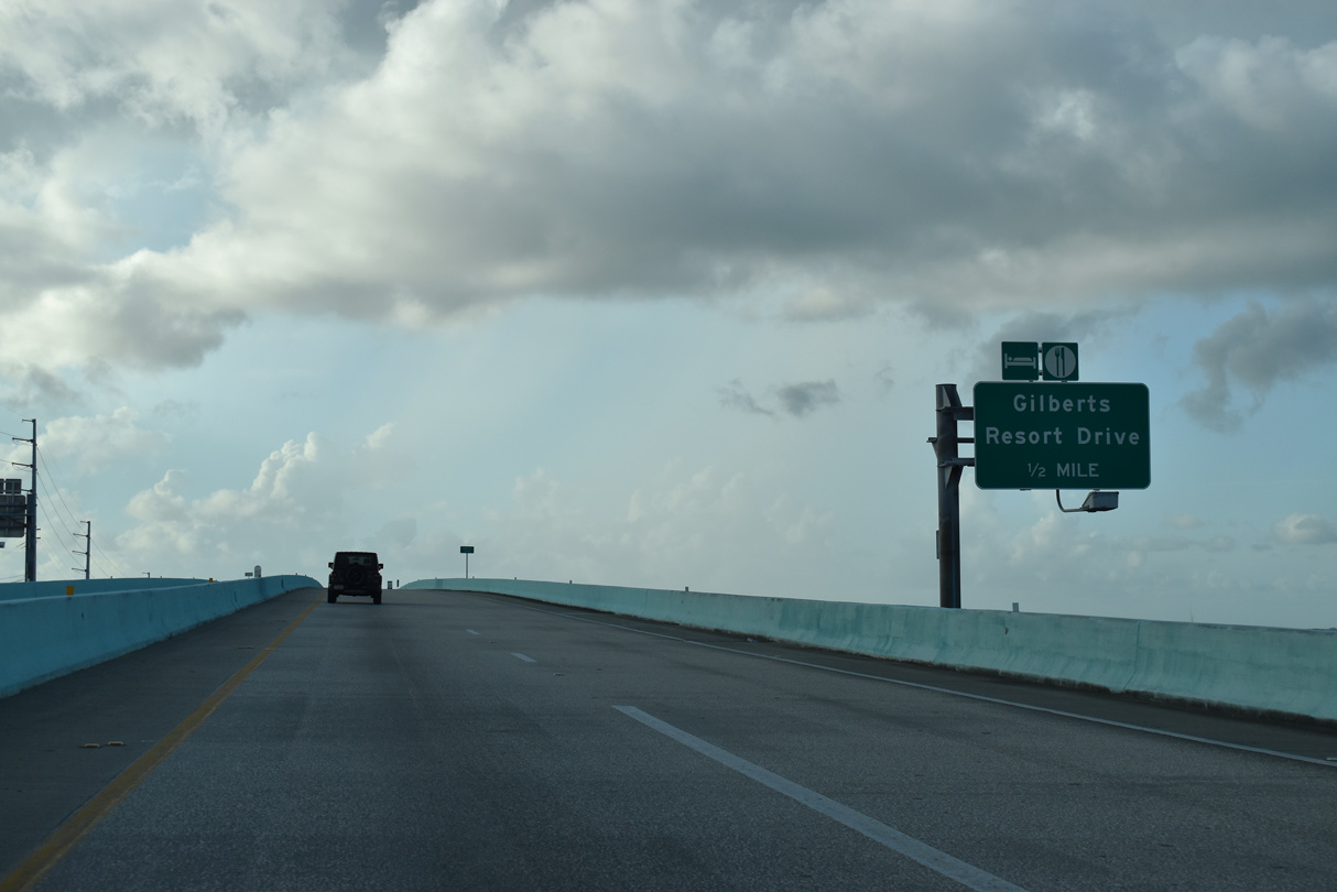
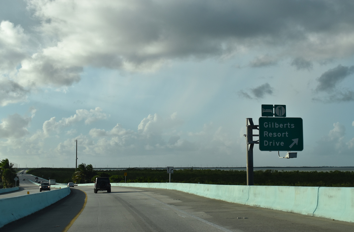
Gilberts Resort Drive follows the former at-grade alignment of U.S. 1 west 0.4 miles from the resort along Jewfish Creek to RIRO ramps with Overseas Highway.
10/17/20
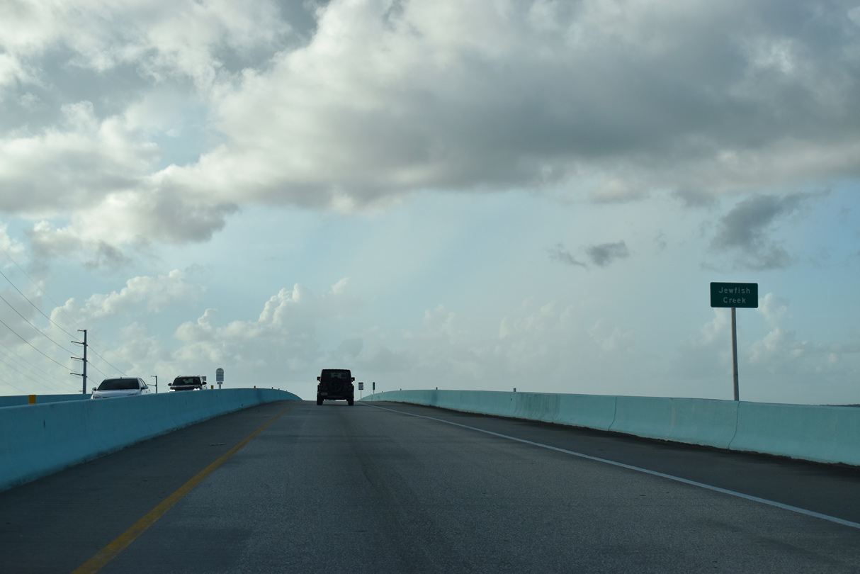
Roadwork between mile markers 106 and 113 included construction of a fixed high-level bridge at Jewfish Creek. A barrier median separates the single lane roadways along the elevated alignment.1
10/17/20
Built in 1944, the previous double-leaf Jewfish Creek Bascule Bridge on U.S. 1 (Overseas Highway) was near the end of service life as crews built the new fixed bridge to the east.1
10/17/20
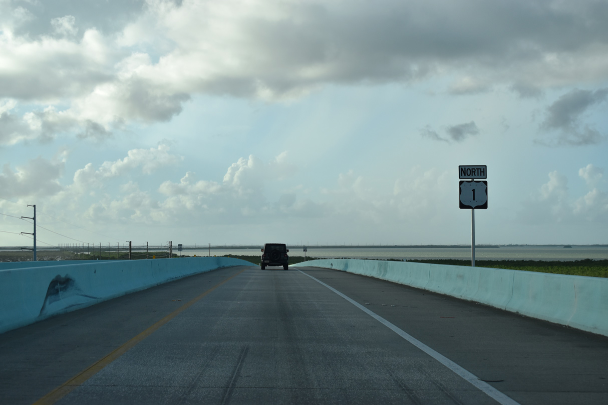
Rising to a height of 65 feet, the Jewfish Creek Bridge was the first phase of a four-part $148 million improvement project along the 18 mile "Stretch" of U.S. 1.1
10/17/20
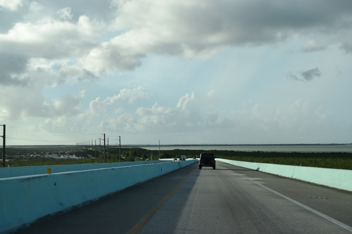
U.S. 1 (Overseas Highway) descends north onto Cross Key beyond the turn off for Gilberts Resort Drive.
10/17/20
Overseas Highway travels along a strip of land separating Blackwater Sound and Barnes Sound.
10/17/20
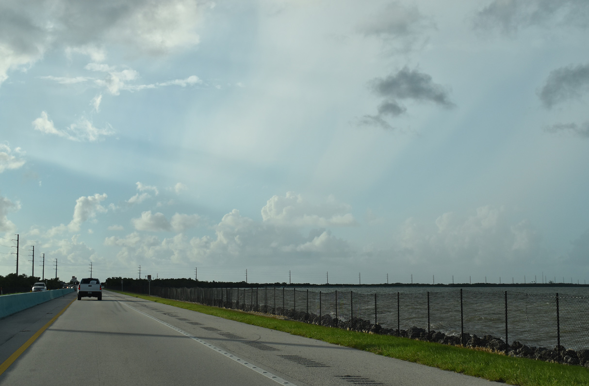
Turning more toward the north, U.S. 1 runs along the west shore of Barnes Sound. Division Point appears to the east.
10/17/20
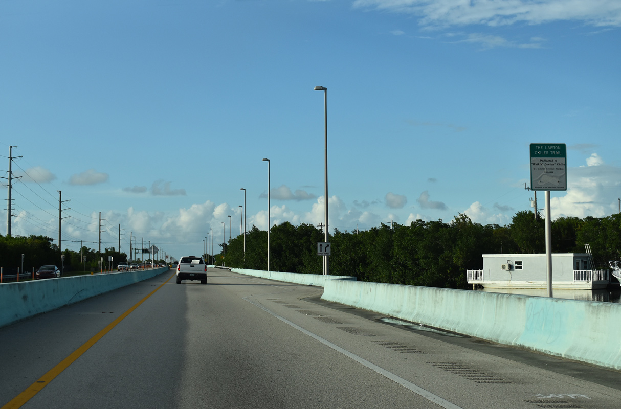
An at-grade intersection follows along Overseas Highway north at Morris Avenue to a marina and RV resort. Roadwork completed in 2009 also included construction of the Manatee Creek Bridge and wildlife box culvert crossings.1
10/17/20
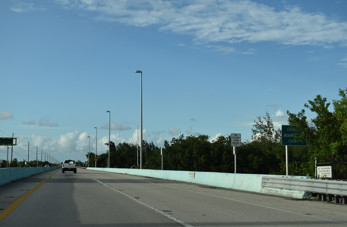
The Miami-Dade County line straddles Manatee Creek across U.S. 1 between Barnes and Long Sounds.
10/17/20
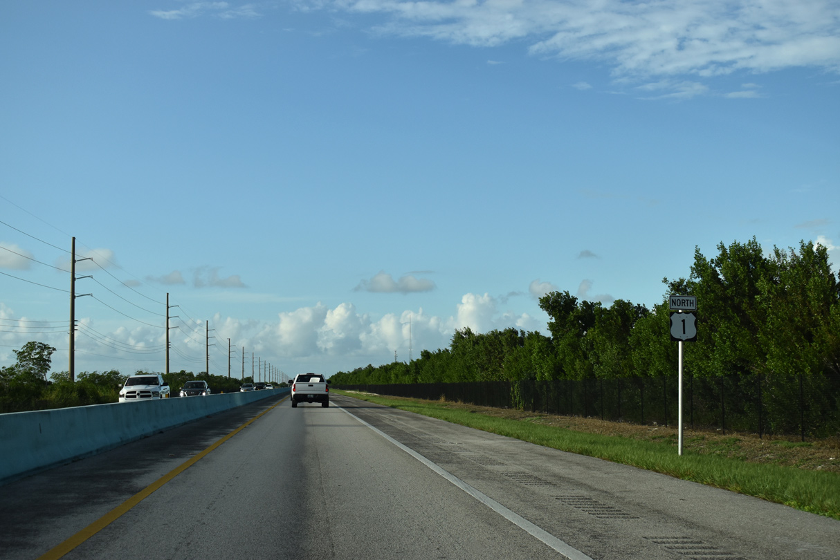
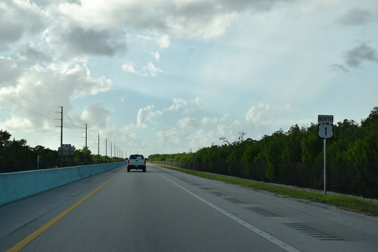
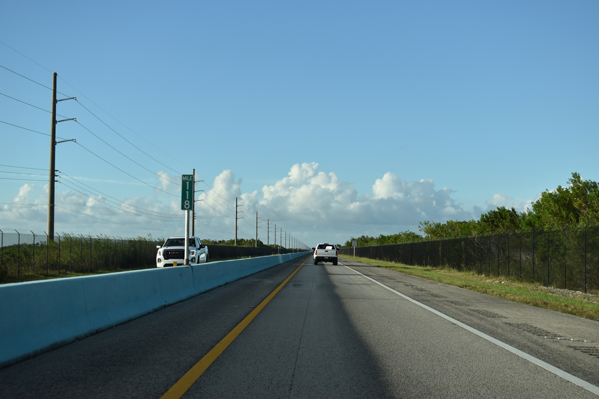
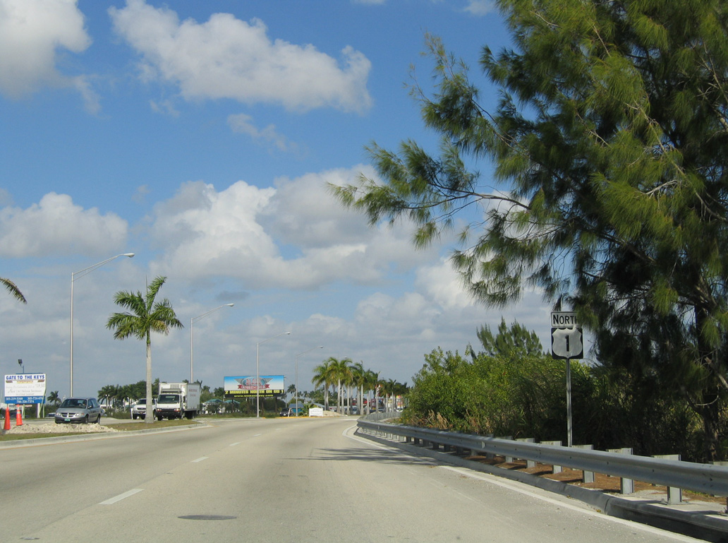
Reassurance markers for both directions of U.S. 1 stand just north of the Monroe County line and mile marker 113. U.S. 1 runs along Everglades National Park north past mile marker 116.
10/17/20
U.S. 1 spans C-111 Canal ahead of mile marker 117. Prior to the 2009 reconstruction, the crossing was a draw bridge.
10/17/20
10/17/20
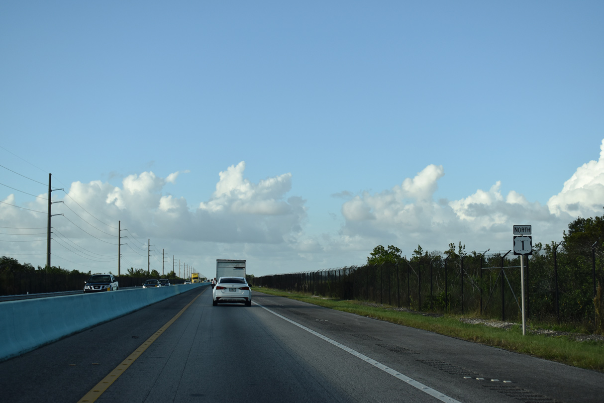
U.S. 1 north of Southern Glades Wildlife and Environmental Area.
10/17/20
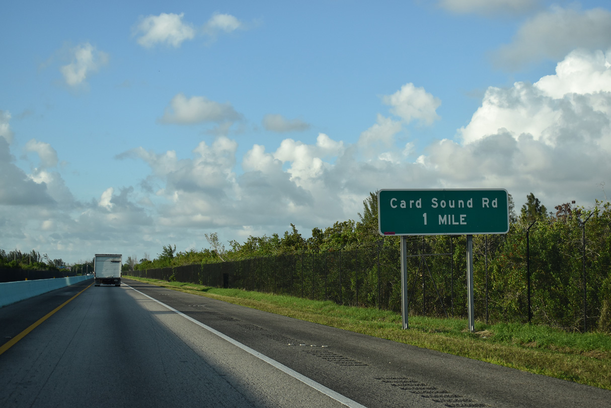
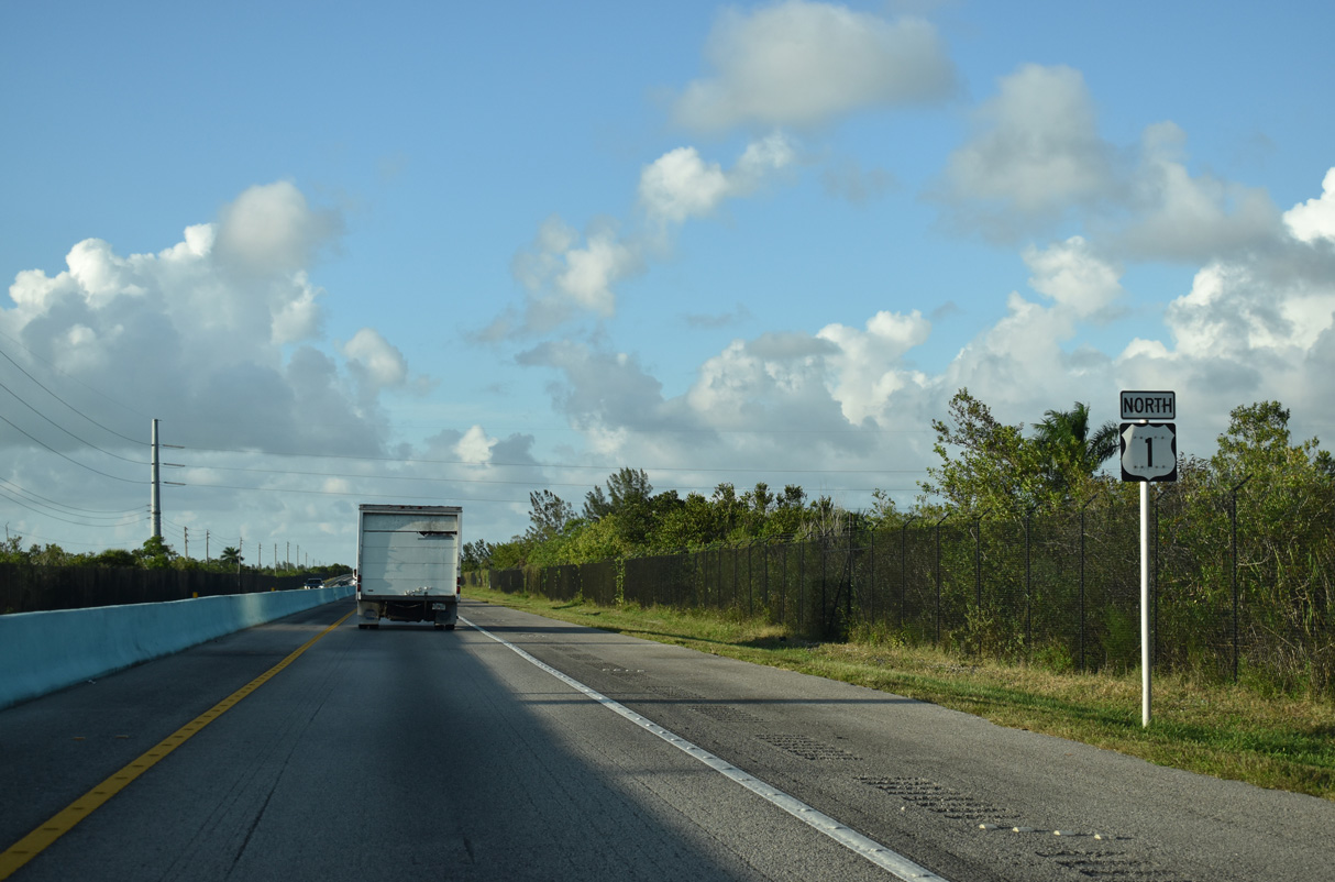
U.S. 1 converges with the north end of Card Sound Road in one mile adjacent to the Florida City line.
10/17/20
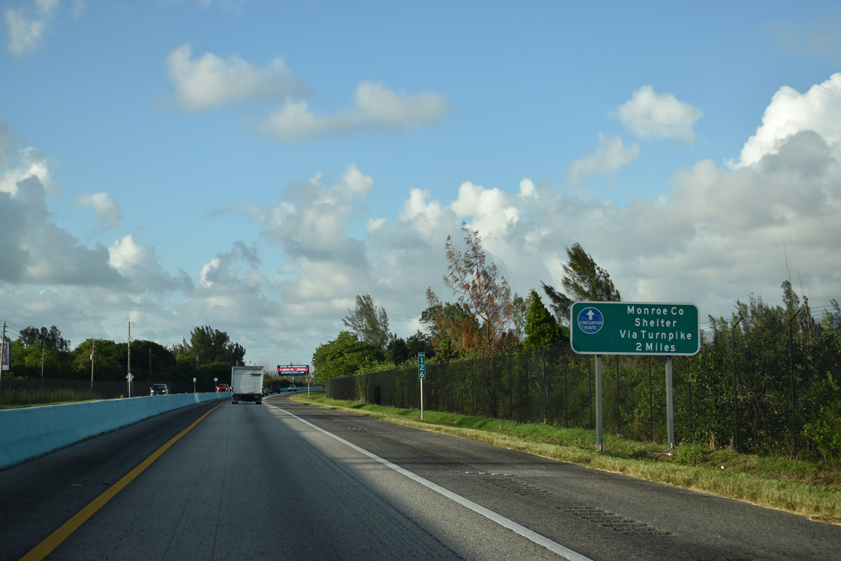
During major hurricane evacuations, residents of Monroe County are directed northward to Hurricane Evacuation Centers in southern Miami-Dade County.
10/17/20
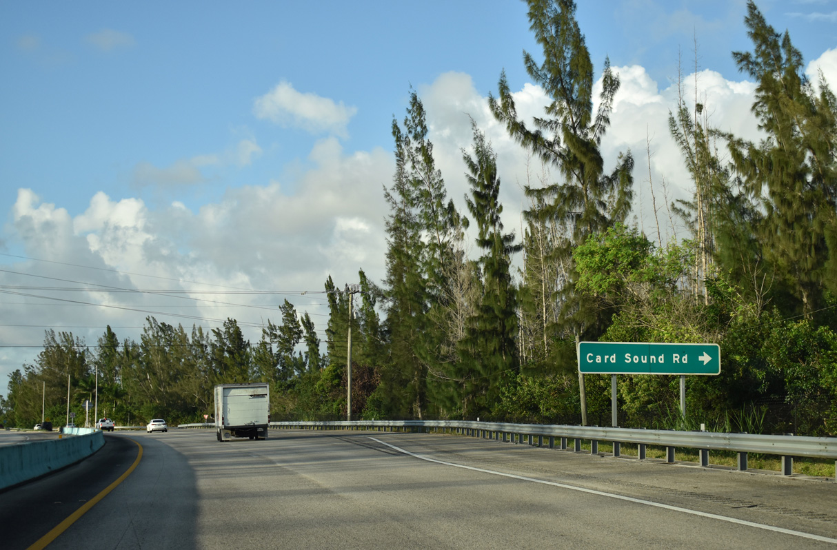
Card Sound Road extends northwest from Monroe County Road 905A and the tolled Card Sound Bridge onto Key Largo.
10/17/20
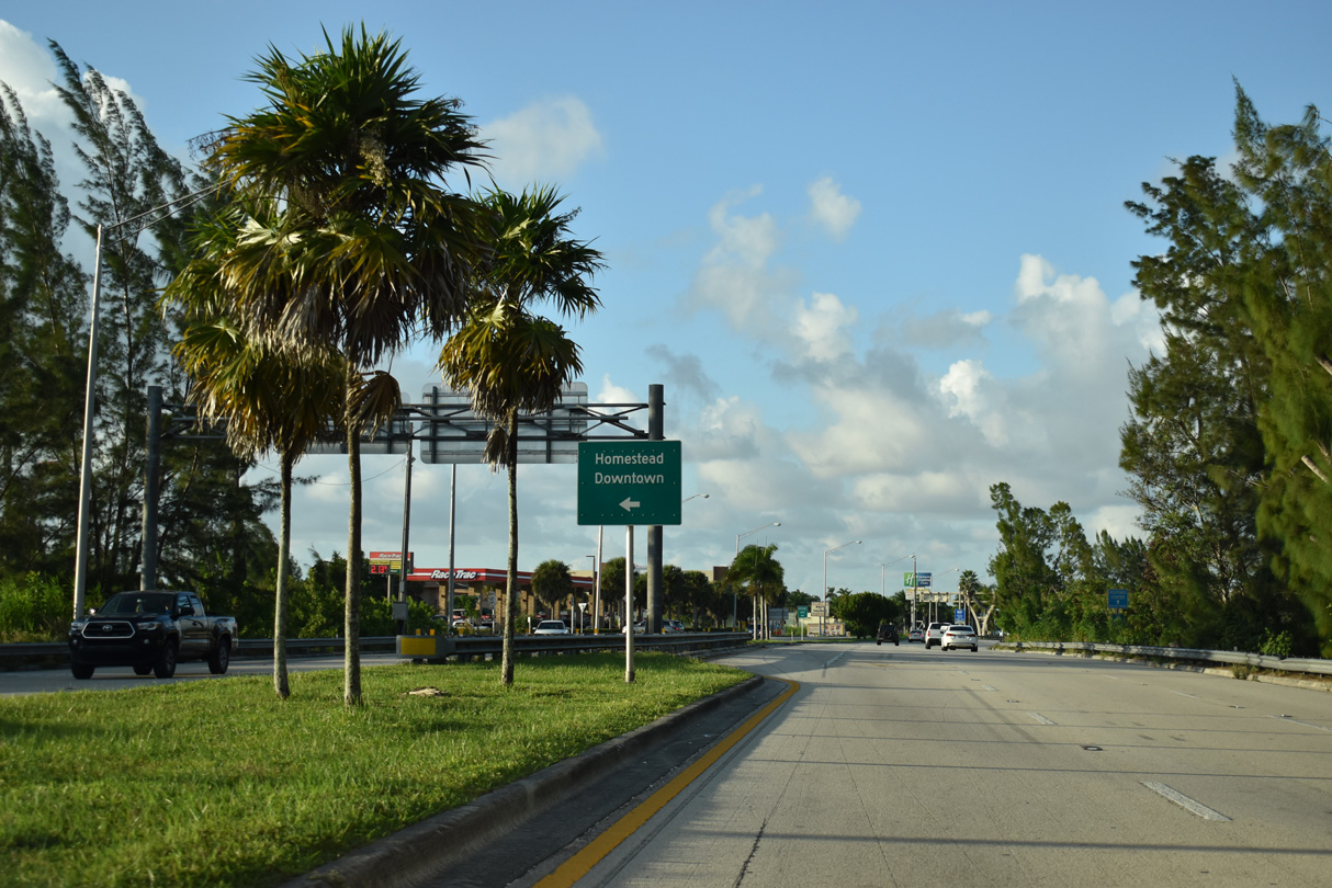
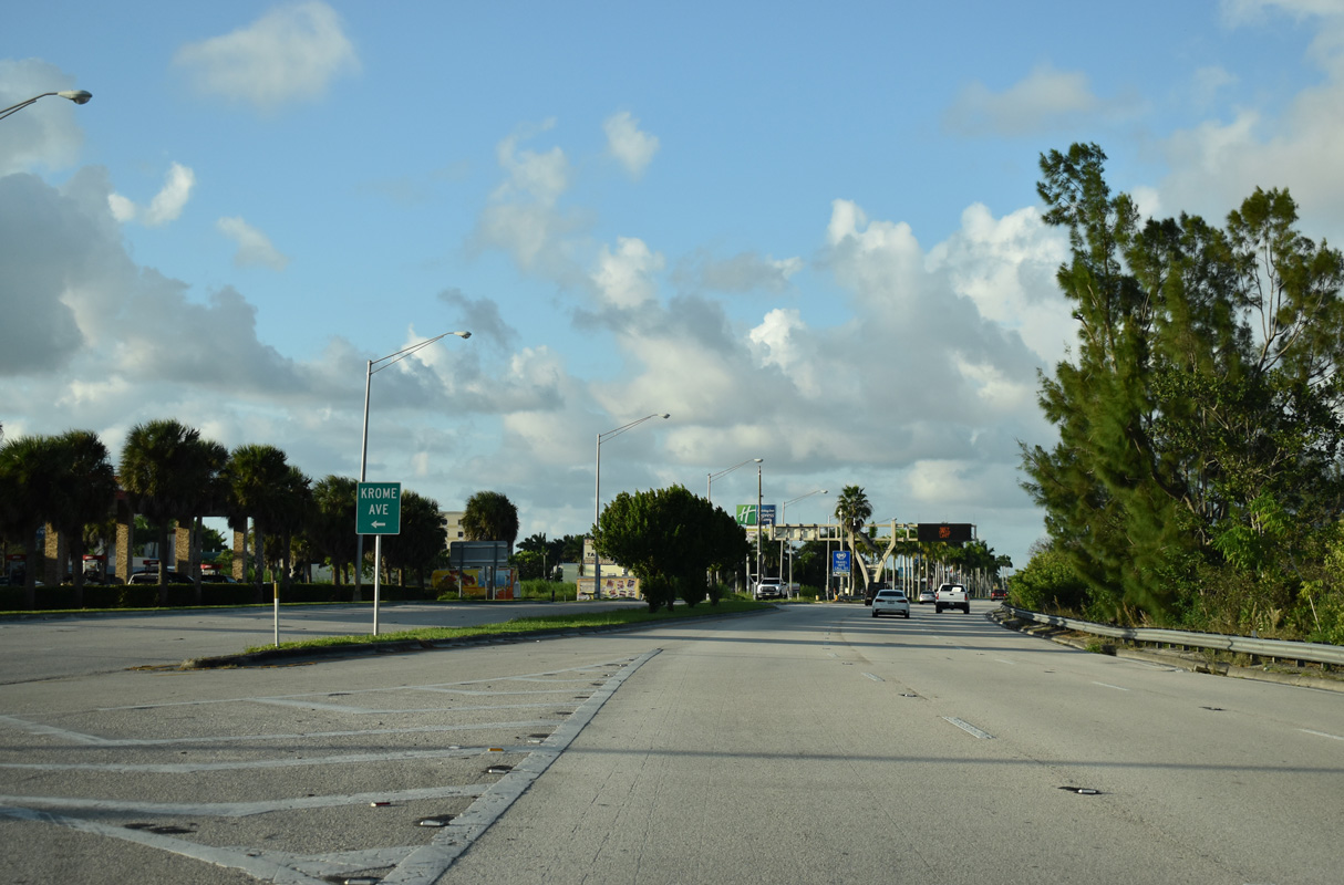
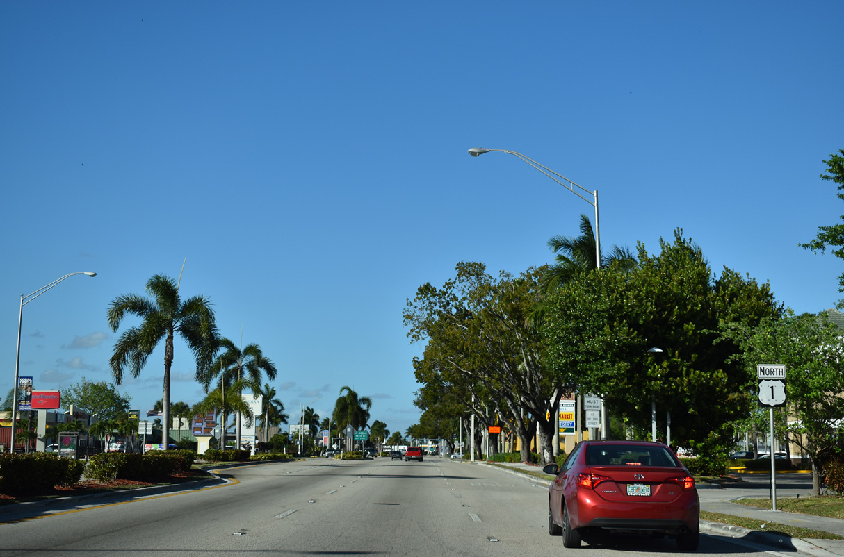
Krome Avenue (unsigned CR 997) separates from U.S. 1 (Dixie Highway) at the succeeding intersection north of Card Sound Road. Krome Avenue parallels U.S. 1 north to Downtown Homestead.
10/17/20
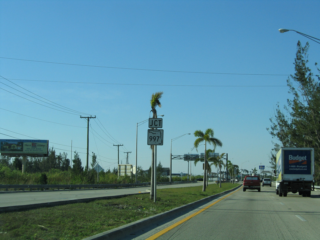
Prior to 2018, SR 997 extended south along Krome Avenue from NW 8th Street / Campbell Drive (SR 998) and Downtown Homestead to U.S. 1 in Florida City.
03/25/06
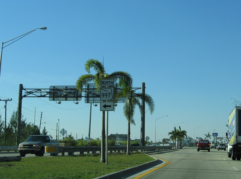
SR 997 (Krome Avenue) acts as a bypass of the Miami metropolitan area. Passing through agricultural sugar cane areas north of Homestead, SR 997 travels through eastern reaches of the Everglades to U.S. 27 (Okeechobee Road). Historically SR 997 replaced SR 27, which was renumbered due to confusion with U.S. 27.
03/25/06
When SR 997 was truncated from Krome Avenue northward beyond Downtown Homestead, SR 998 was established along Campbell Drive east to U.S. 1 (Homestead Boulevard).
10/17/20
Confirming marker for U.S. 1 formerly posted north of Krome Avenue (old SR 997). U.S. 1 was widened to six lanes here in 2009/10.
12/28/03
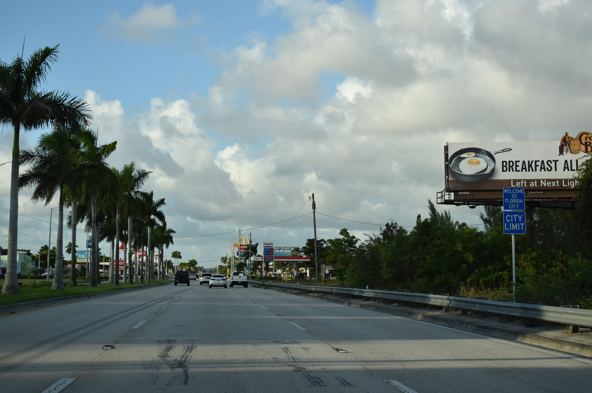
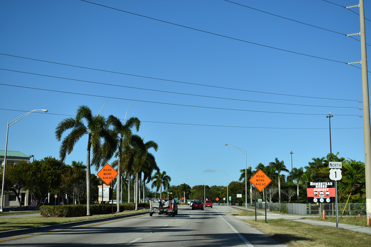
U.S. 1 (Dixie Highway) wholly enters the Florida City limits north at SW 352nd Street.
10/17/20
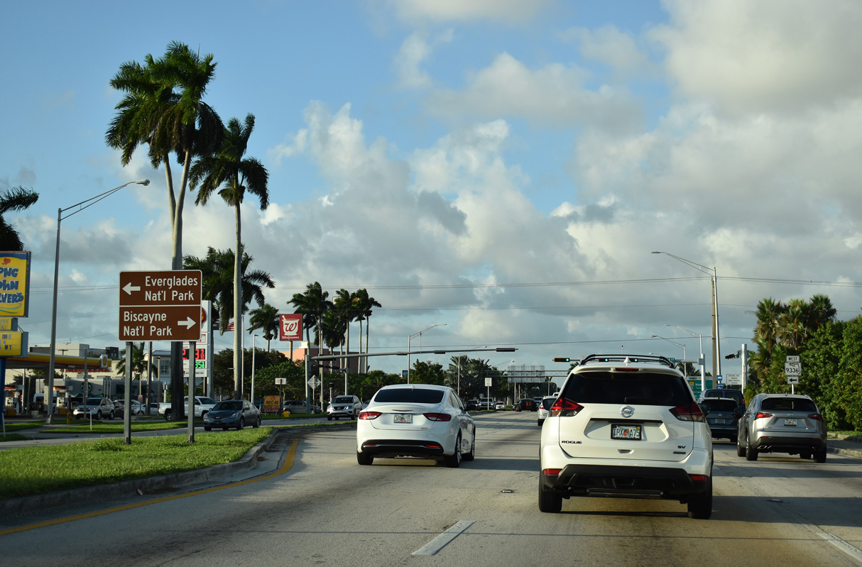
Palm Drive west is part of SR 9336 to Everglades National Park. Palm Drive east leads to Homstead Miami Speedway and links with Tallahassee Road north to SW 328th Street to the Biscayne National Park Visitor Center.
10/17/20
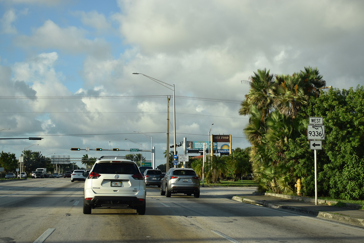
8.75 miles in length, SR 9336 follows Palm Drive / SW 344th Street west through Florida City and then south along SW 192nd Avenue to Ingraham Highway and Everglades National Park.
10/17/20
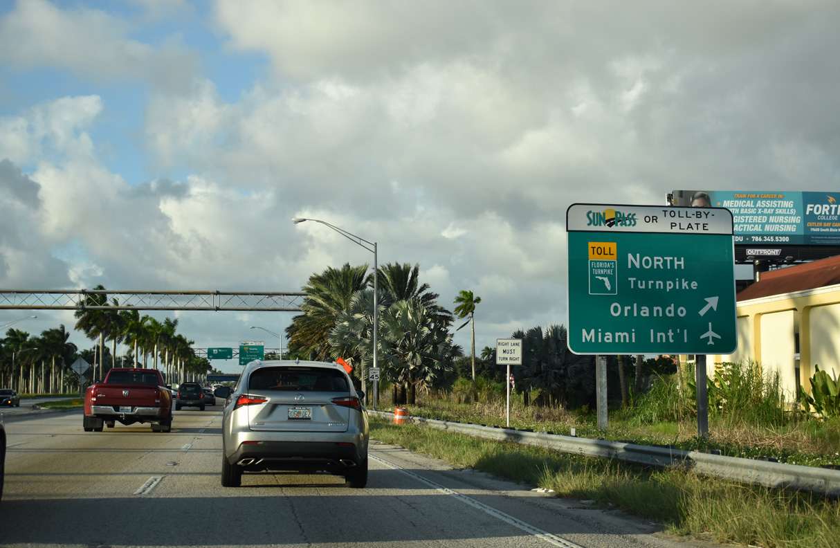
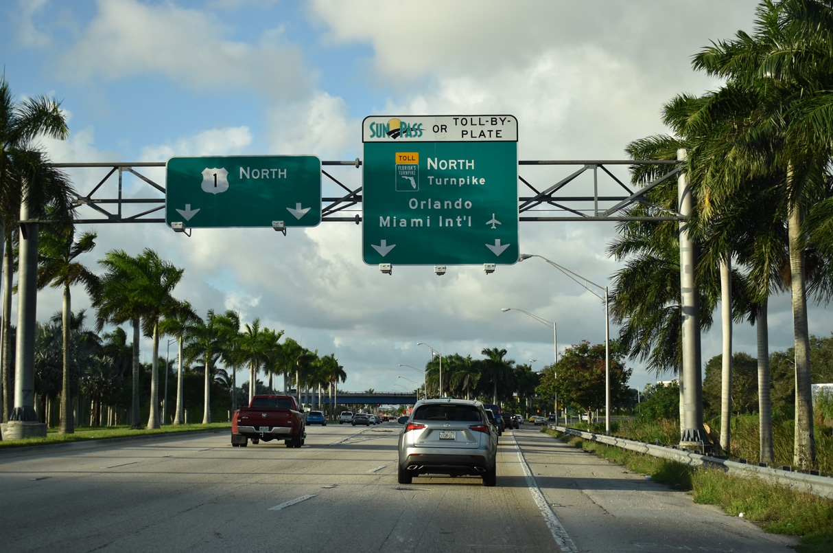
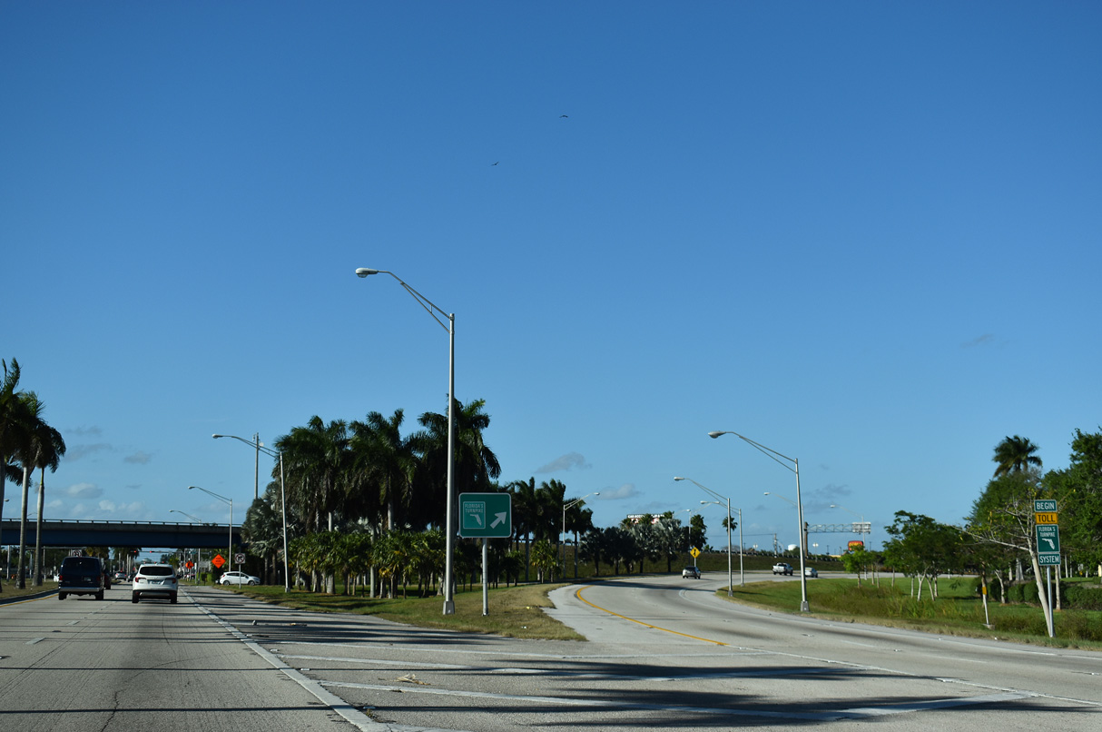
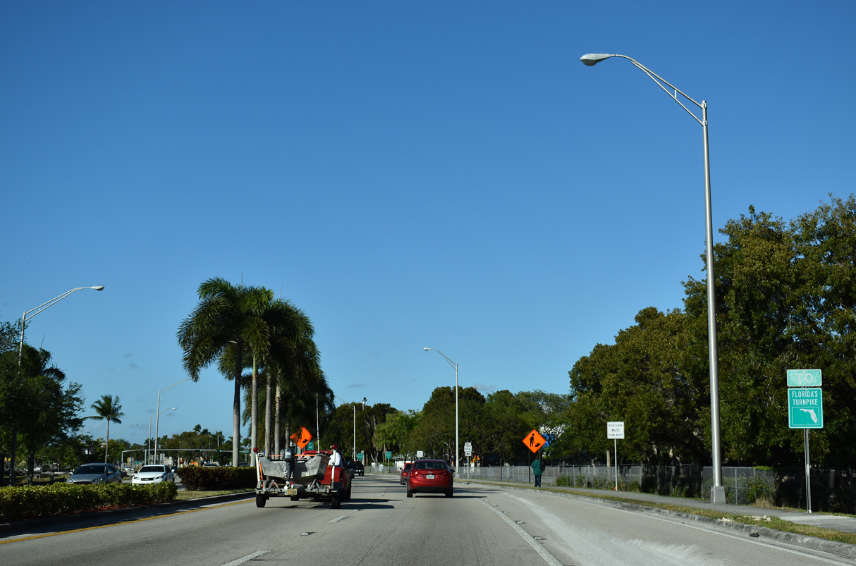
Florida's Turnpike commences north along the Homestead Extension (HEFT / unsigned SR 821) from U.S. 1 (Dixie Highway) in Florida City. Milepost zero for the Turnpike mainline is the exchange with U.S. 1. Exit numbers extend north from the HEFT to I-75 near Wildwood.
10/17/20
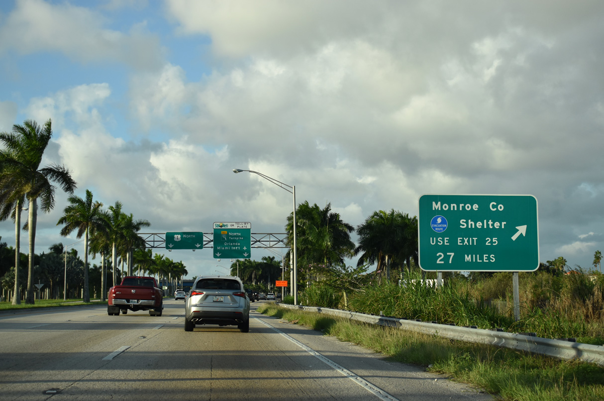
The Monroe County Hurricane Shelter is another 27 miles to the north from Florida City via Florida's Turnpike Homestead Extension. Homestead was devastated by Hurricane Andrew in 1992.
10/17/20
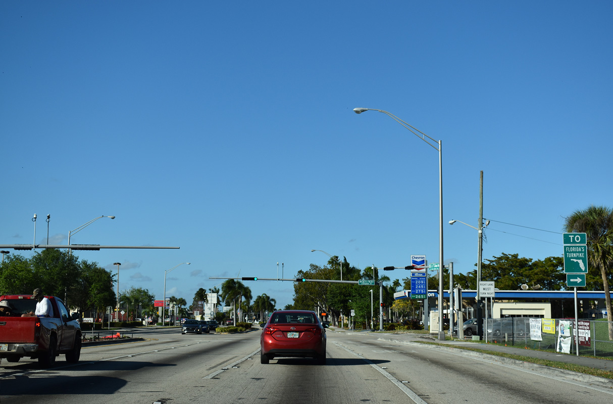
The HEFT travels north around Miami to Florida's Turnpike mainline (SR 91) at Miramar. The Turnpike extends north to West Palm Beach, Port Saint Lucie, Orlando and I-75 beyond Leesburg.
10/17/20
Florida's Turnpike Homestead Extension bypasses the congested corridor along U.S. 1 from Homestead north to Cutler Bay. The two routes meet again at Exit 11 and South Miami Heights.
03/21/20
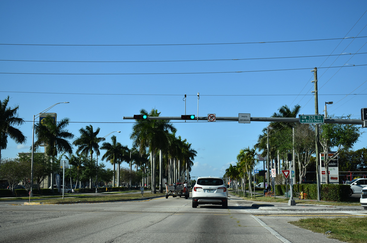
The exit from the HEFT south to U.S. 1 (NE 1st Avenue) north ties into the signalized intersection with SW 336th Street / Davis Parkway west.
03/21/20
SW 328th Street heads east along the Florida City and Homestead city line toward SW 137th Avenue near Homestead-Miami Speedway and Biscayna National Park.
03/21/20
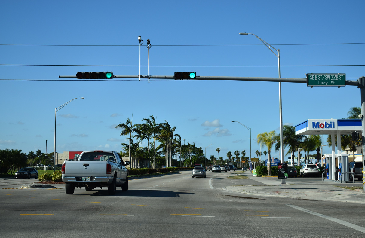
SW 328 Street / Lucy Street west straddles the Florida City / Homestead city line to SW 192nd Avenue.
03/21/20
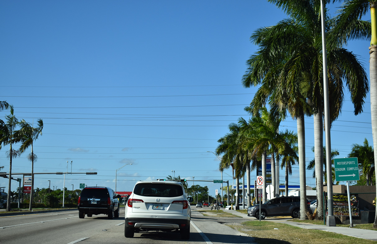
U.S. 1 (Dixie Highway) curves northeast across Homestead from SW 328th Street to NE 15th Street / SW 304th Street.
03/21/20
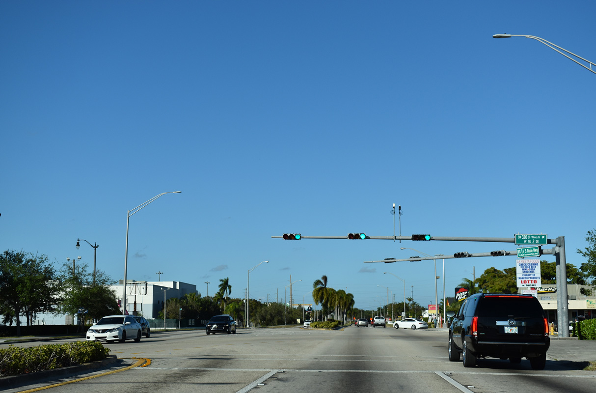
SW 320th Street / Mowry Drive west and NE 2nd Drive south from Homestead City Hall come together at the succeeding traffic light along U.S. 1 (Dixie Highway) northbound.
03/21/20
U.S. 1 reassurance marker posted north of SE 6th Avenue in Homestead.
03/21/20
Forthcoming Campbell Drive connects U.S. 1 (Dixie Highway) with Florida's Turnpike Homestead Extension at Exit 2, 1.65 miles to the east.
03/21/20

State Road 998 was established in 2018 along Campbell Drive west to link U.S. 1 with SR 997 (Krome Avenue) north.
03/21/20
Campbell Drive / SW 312th Street runs 3.31 miles east across Homestead to SW 137th Avenue near Homestead Air Reserve Base. SR 998 lines the arterial west 0.77 miles.
03/21/20
U.S. 1 confirming marker posted north of SR 998 by Homestead Towne Square shopping center.
03/21/20


References:
- "Construction to Begin on 18-Mile Stretch of US 1 Between Florida City and Key Largo."
http://www.dot.state.fl.us/publicinformationoffice/construc/pdf files/construction_to_begin_on_18-mile_stretch032905.pdfFlorida Department of Transportation Press Release, March 29, 2005. - Florida Keys Scenic Drive.
http://www.nationalgeographic.com/destinations/The_Florida_Keys/Florida_Keys_Scenic_Drive.htmlNationalGeographic.com.
Photo Credits:
- Alex Nitzman: 10/17/20
- Alex Nitzman, Justin Cozart: 03/25/06
- Justin Cozart: 12/28/03
- ABRoads: 03/21/20
Connect with:
Page Updated Saturday August 10, 2024.