
U.S. 1 South - Bahia Honda Key to Big Coppitt Key

 South
South
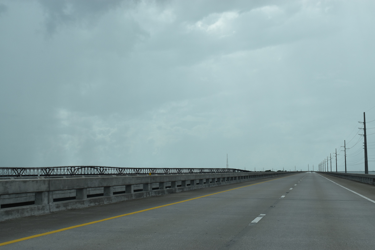
U.S. 1 (Overseas Highway) southbound arrives at uninhabited Little Duck Key from the Seven Mile Bridge.
10/16/20
Little Duck Missouri Channel separates Little Duck Key from the equally uninhabited Missouri Key. The old Overseas Highway bridge parallels the bridge built in 1981 to the north.
10/16/20
Another bridge built in 1981 leads the Overseas Highway west across Ohio Missouri Channel to Ohio Key.
10/17/20
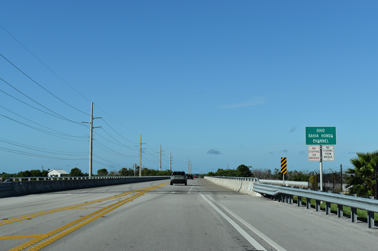
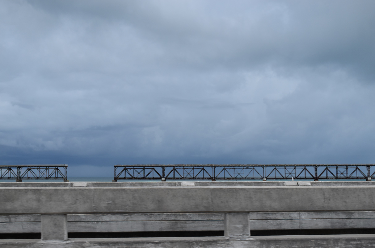
Ohio Key is home to Sunshine Key RV Resort and Marina. The mobile home community encompasses all land between U.S. 1 and Florida Bay. Pictured here is the Ohio Bahia Honda Channel bridge.
10/17/20
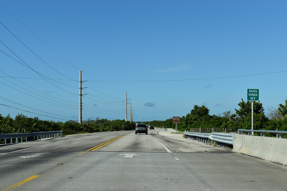
U.S. 1 southbound reaches Bahia Honda Key, a large island protected by Bahia Honda State Park.
10/17/20
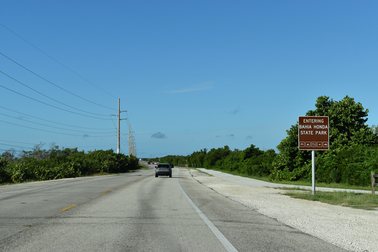
The transition of Bahia Honda Key into a state park began when the state purchased a 13 acre tract in 1961. The island spreads across 524 acres.1
10/17/20
Activities popular within Bahia Honda State Park include snorkeling, swimming and fishing.
10/16/20
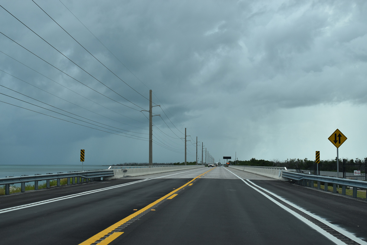
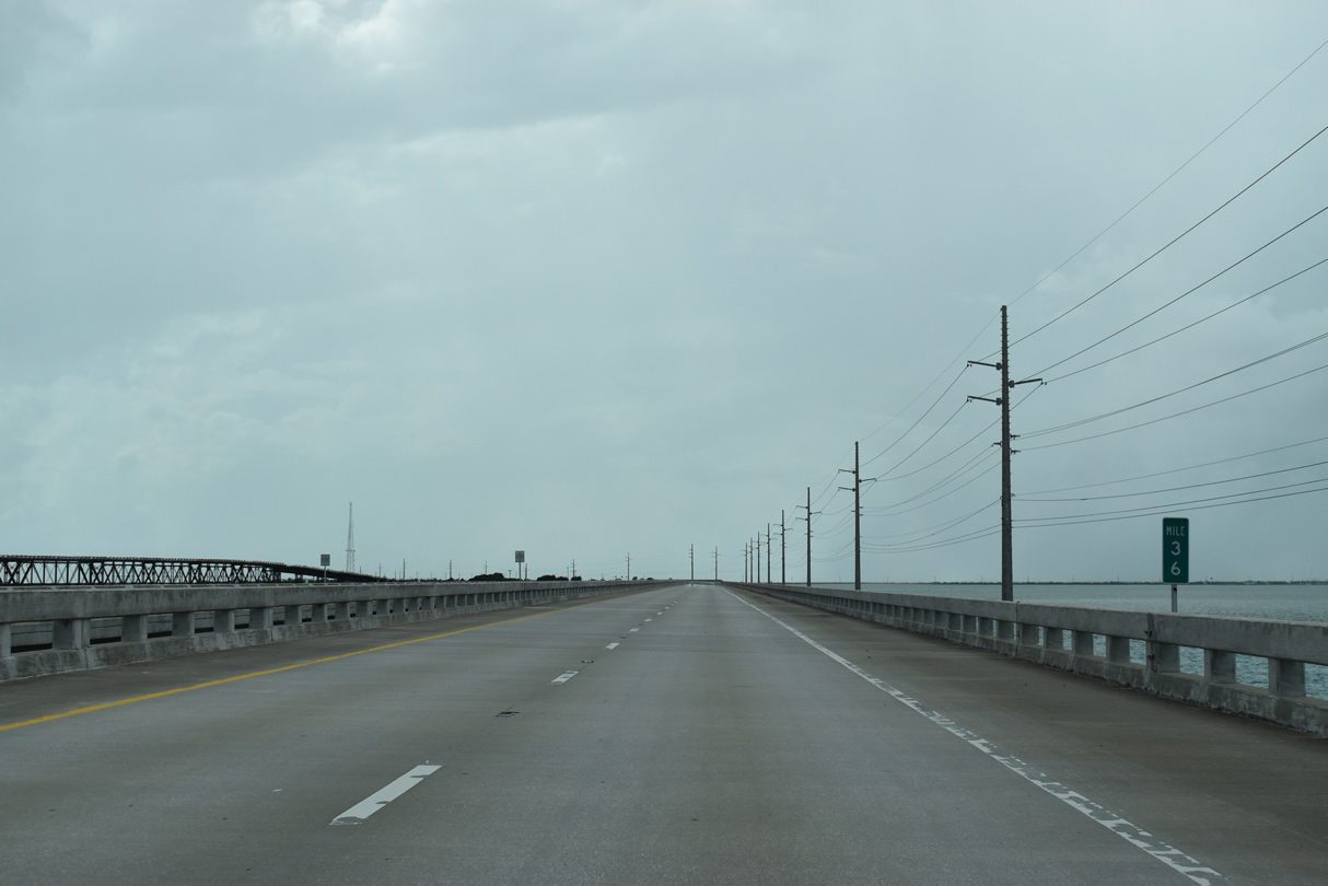
Overseas Highway widens to four lanes ahead of the Bahia Honda Bridge.
10/16/20
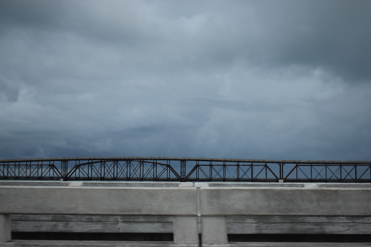
The Bahia Honda Bridge carries U.S. 1 west from Bahia Honda Key to the Spanish Harbor Keys. Paralleling the Overseas Highway span to the south is the original Florida East Coast Railroad bridge dating back 1912.2
10/17/20
Rail service to Florida Key West ended when the Labor Day Hurricane of 1935 destroyed over 40 miles of track. The state purchased the right-of-way in 1936 and began constructing the original Overseas Highway.2
10/16/20
Opened in 1938, construction of Overseas Highway included the conversion of the Bahia Honda railroad truss bridge into use as a highway bridge. This was accomplished by constructing a concrete deck on top of the existing superstructure.2
10/16/20
Midway across the twin Bahia Honda Bridges on U.S. 1 southbound. Opened in 1972,2 the concrete bridges taking U.S. 1 across Bahia Honda Channel replaced the aging two lane span to the south.
10/16/20
An abandoned structure and pipeline lie to the south of U.S. 1 at the west end of the severed Bahia Honda railroad Bridge. The Bahia Honda Bridge spans the deepest channel in the Florida Keys at 35 feet.3
10/16/20
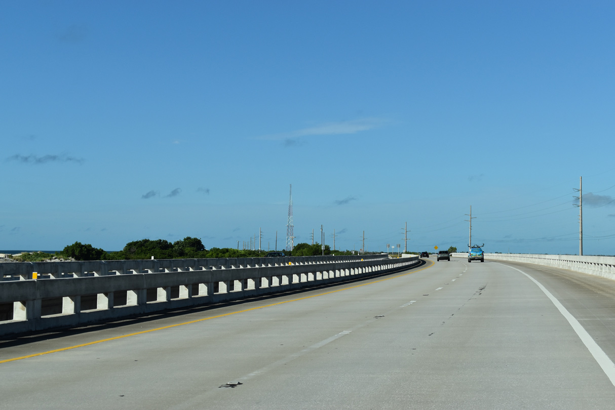
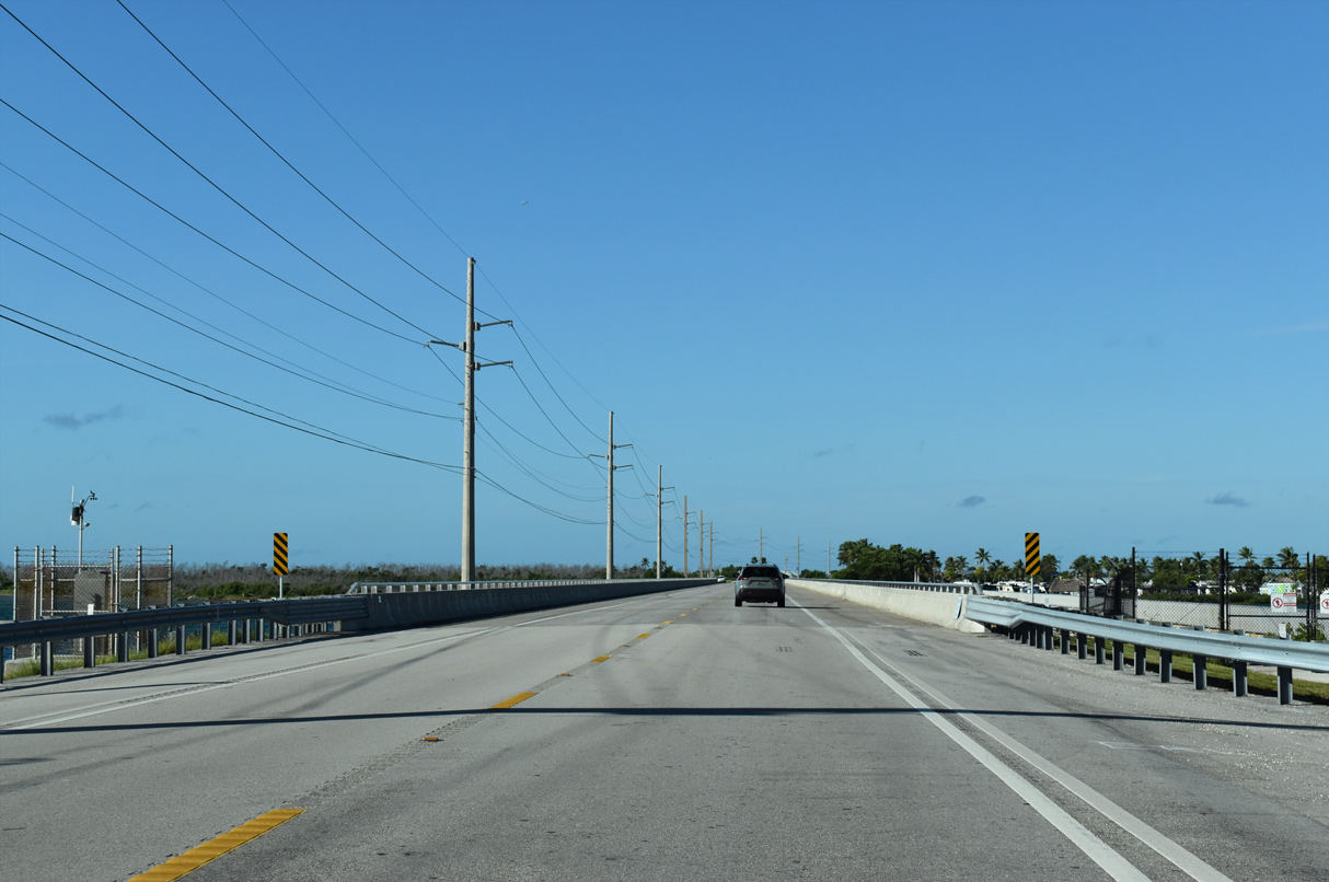
U.S. 1 shifts southward from the Bahia Honda Bridge onto the uninhabited Spanish Harbor Keys.
10/17/20
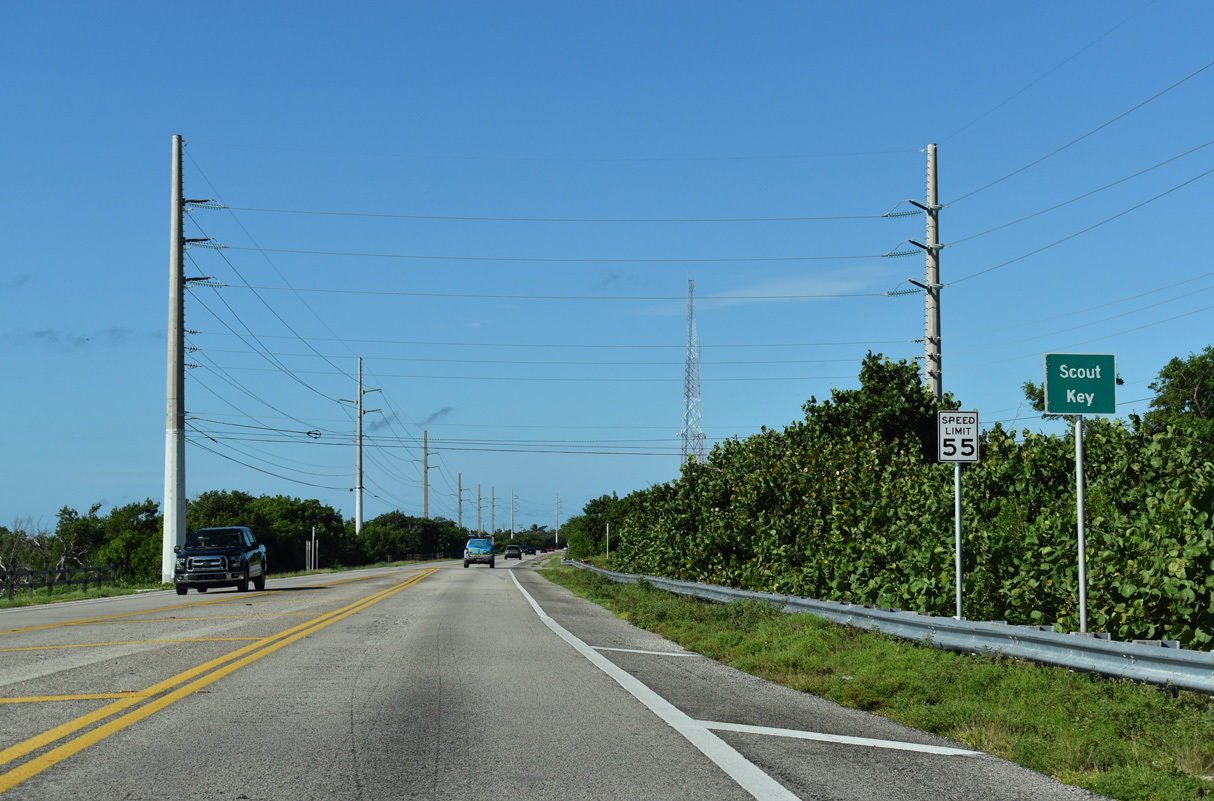
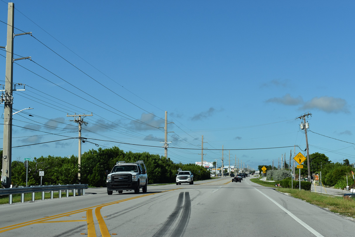
U.S. 1 (Overseas Highway) reduces to four lanes south ahead of milepost 35 on Scout Key. Scout Key was formerly signed as West Summerland Key.
10/17/20
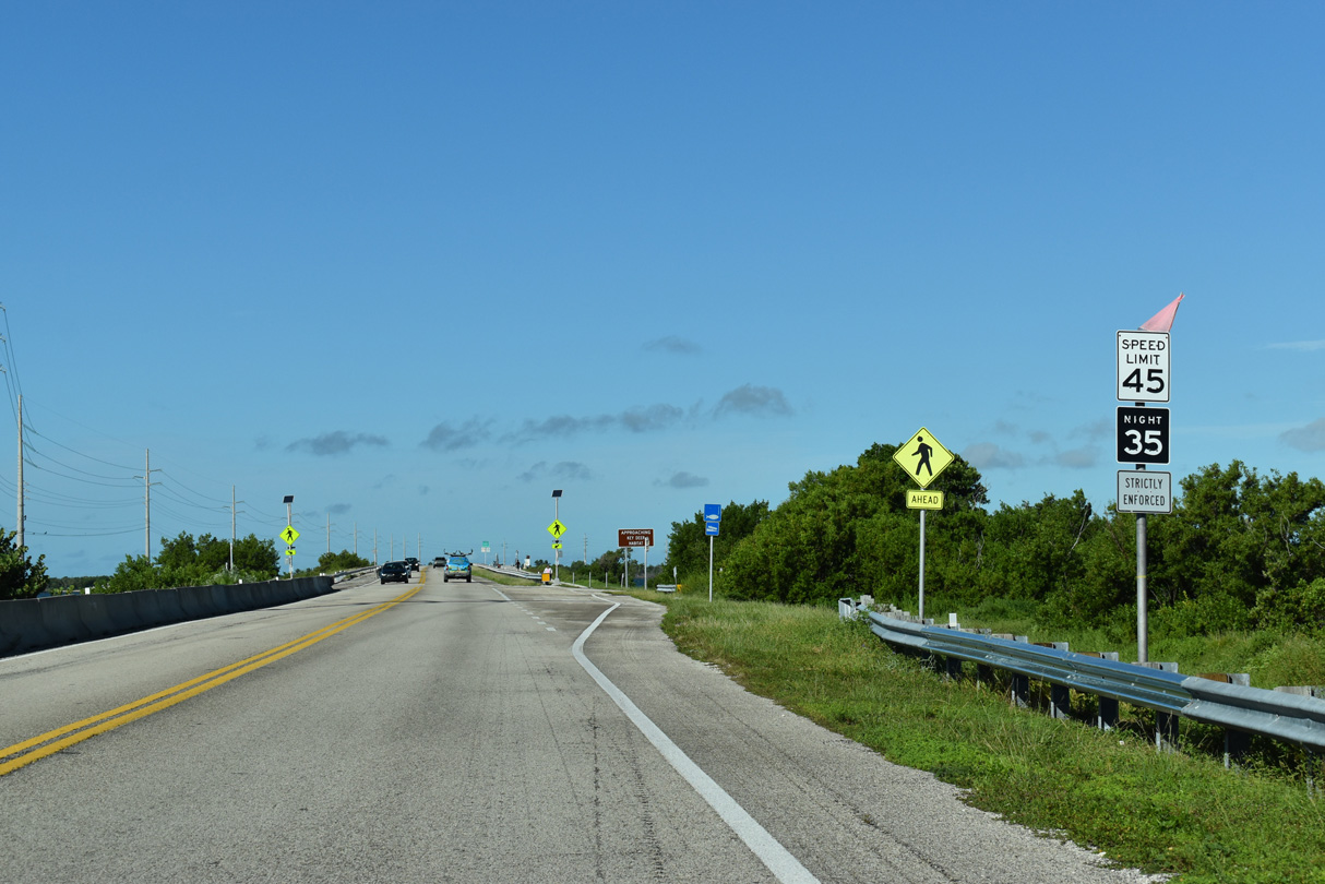
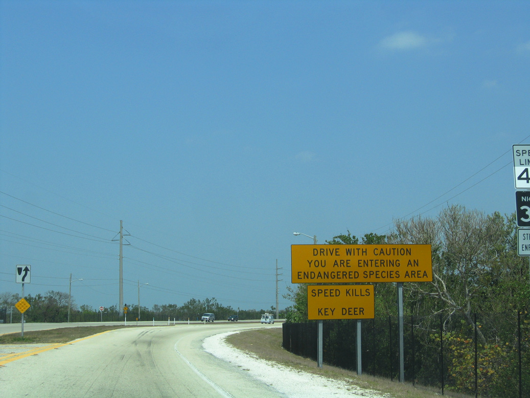
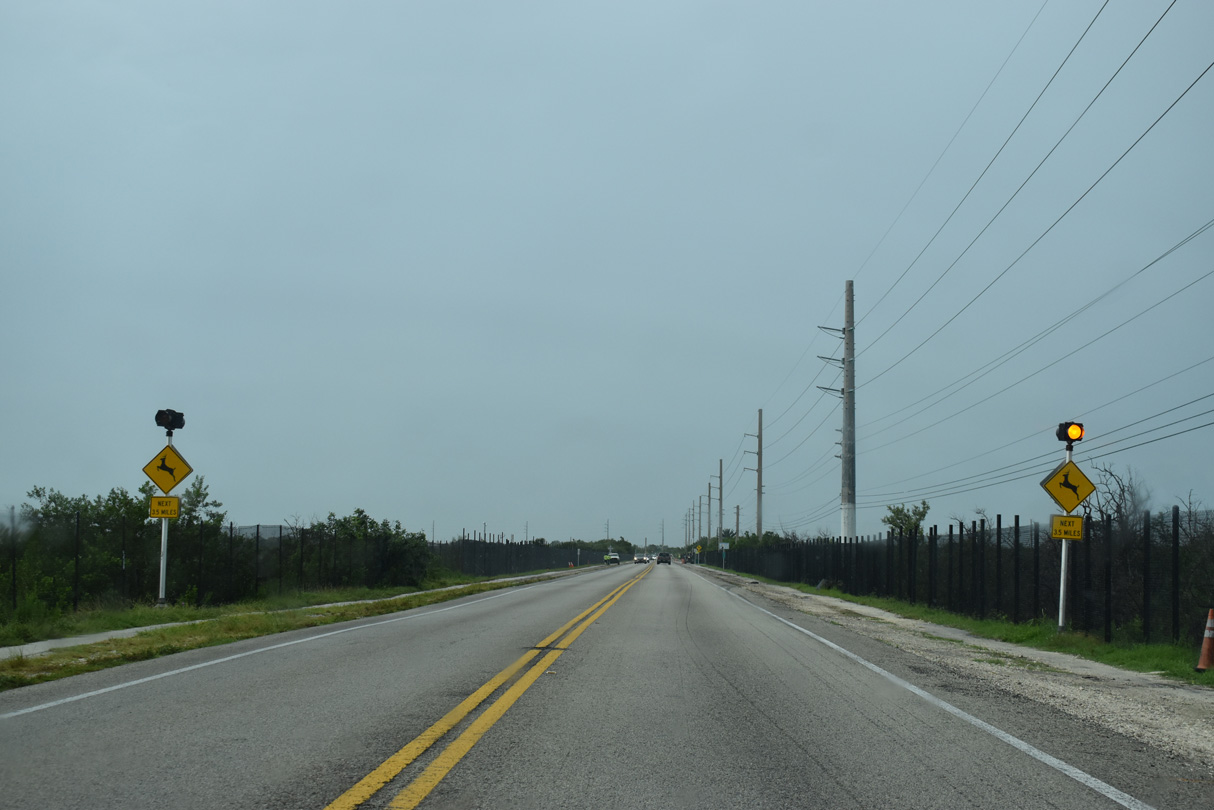
The Overseas Highway passes between small stands of mangrove trees on Scout Key. A night time speed limit commences due to the Key Deer. Thanks in part to the National Key Deer Refuge, there was an estimated 800 Key Deer alive in the mid-2000s, up from an estimated 27 in 1957.4
10/17/20
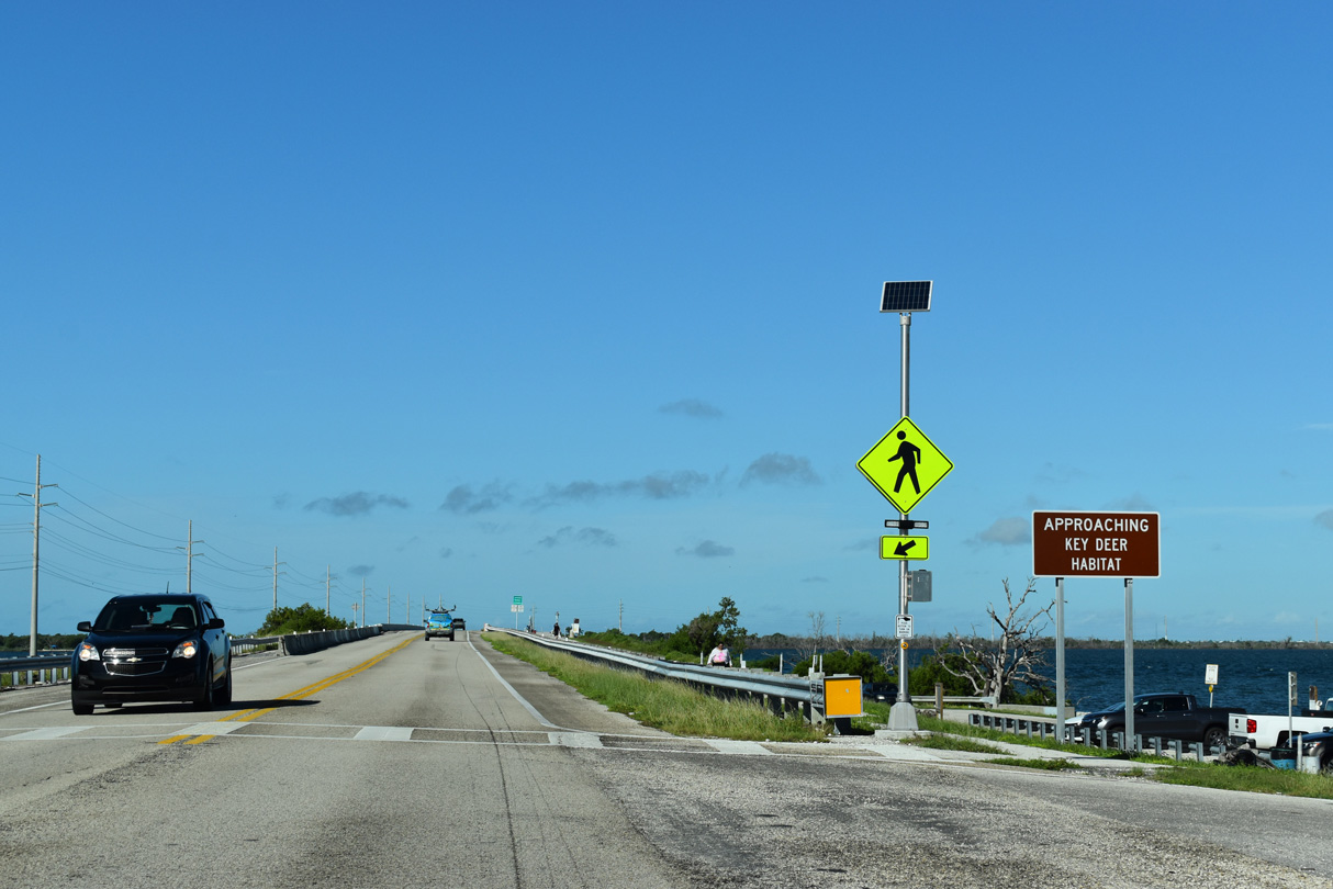
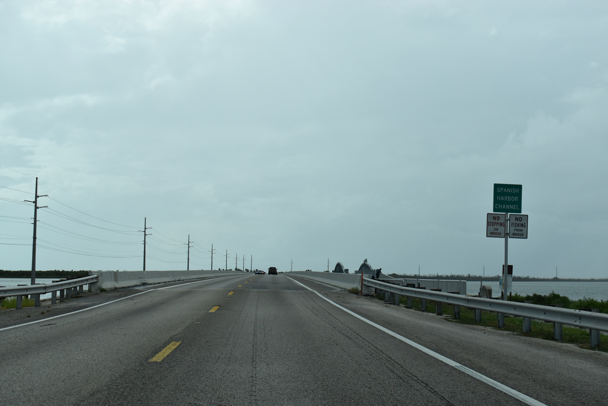
U.S. 1 leaves Scout Key across Spanish Harbor Channel and ahead of the National Key Deer Refuge. Established in 1957, the wildlife refuge protects Key Deer, an endangered species native to both Big Pine and No Name Keys.4
10/17/20
Like most other bridges, the 1938 Overseas Highway bridge spanning Spanish Harbor Channel parallels U.S. 1 to the north. The bridge along U.S. 1 was built in 1982.
10/16/20
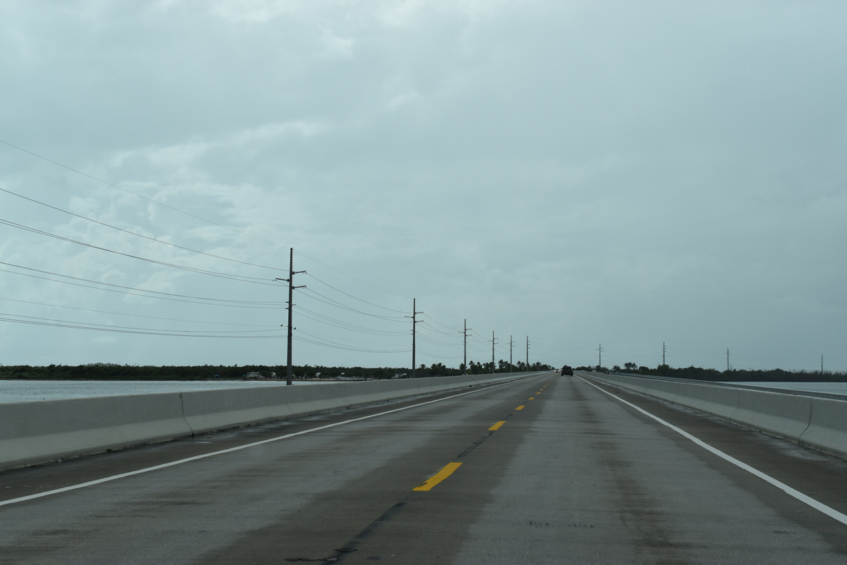
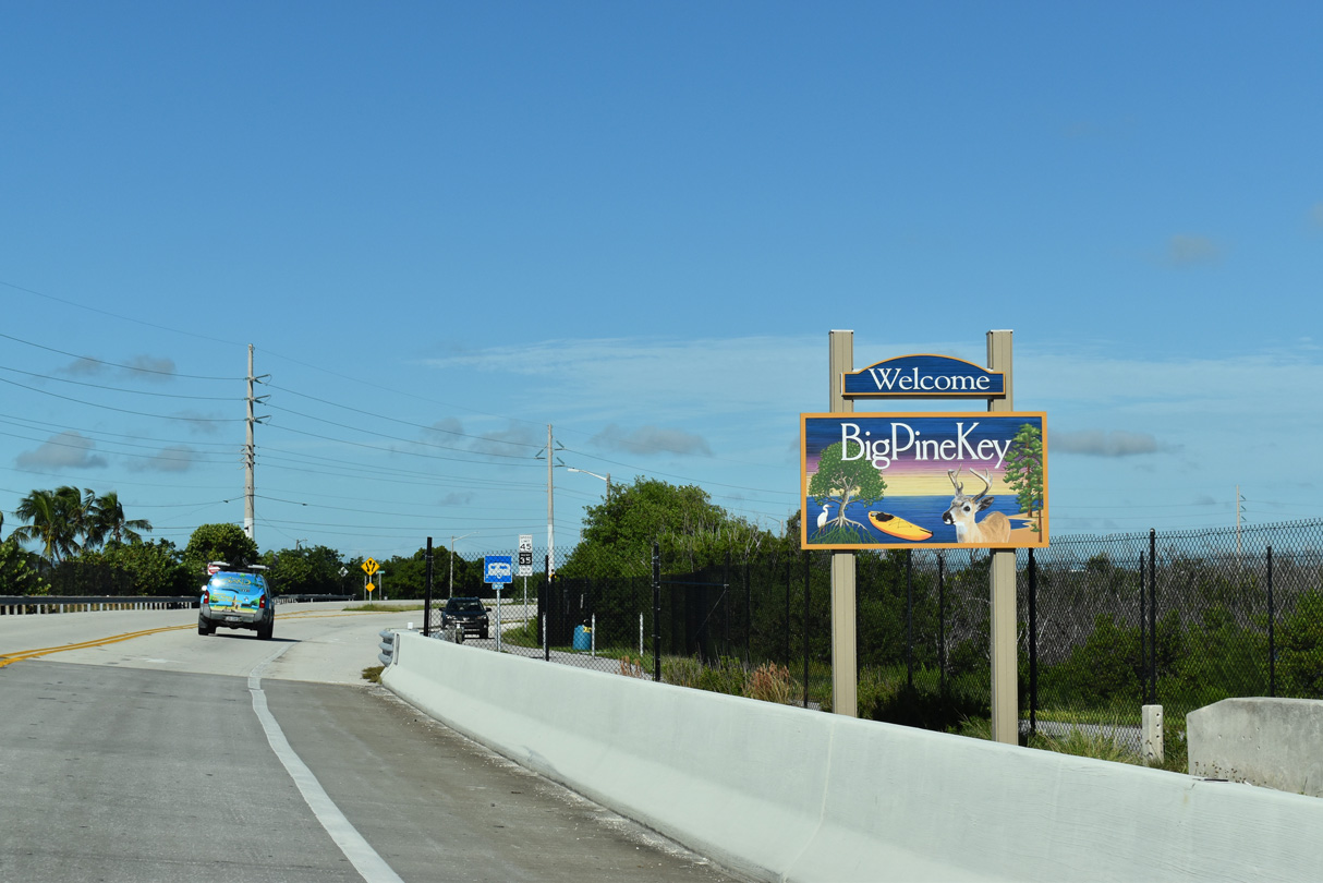
U.S. 1 turns northwest at the west end of the Spanish Harbor Bridge to run alongside Spanish Harbor on Big Pine Key. Just over 5,800 acres in area, Big Pine Key was named for the pine trees that grow on the island.5
10/16/20
Oolitic limestone comprises much of Big Pine Key, and these rocky formations contain pockets of fresh water. Despite the small sized of the island, Big Pine Key is home to the most fresh water of any Florida Key.5
10/17/20
Removed after 2015 when a multi use path was added, large caution signs for Key Deer were formerly posted along U.S. 1 at Long Beach Drive. Key Deer are the smallest member of the Virginia white-tailed deer species. Bucks stand between 28-32 inches with an average weight of 80 lbs.4
05/07/06
The speed limit varies between 45 mph during the day and 35 mph at night through the National Key Deer Refuge. Protective measures for Key Deer along this stretch of U.S. 1 include metal fencing and a wildlife underpass.4
10/16/20
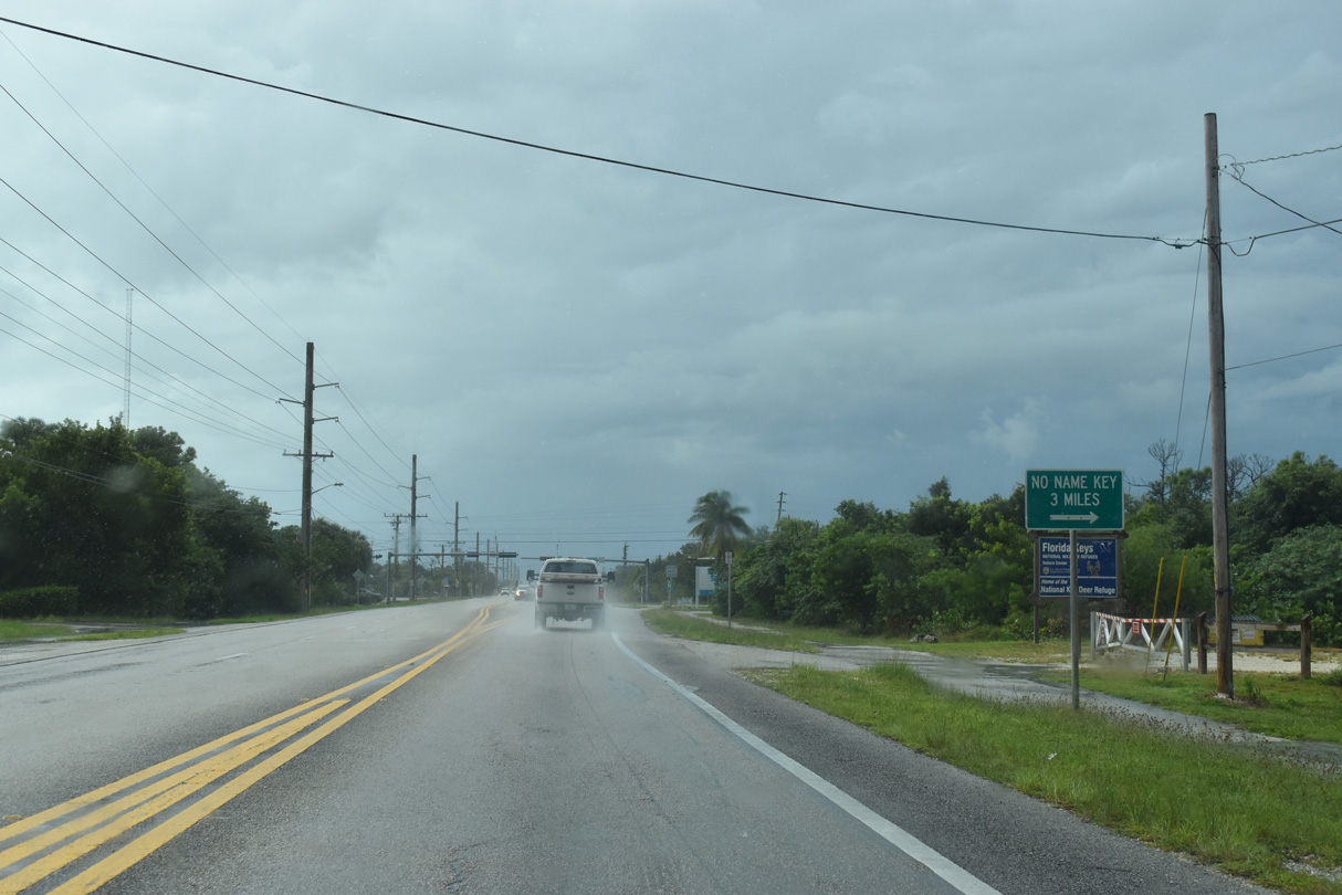
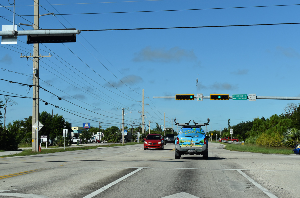
Key Deer Boulevard spurs 4.54 miles toward the north end of Big Pine Key from U.S. 1 (Overseas Highway). The former route of CR 940 connects with the 1938 alignment of Overseas Highway (Watson Boulevard) to No Name Key.
10/16/20
Removed shield for CR 940. No Name Key lies east of Big Pine Key across Bogie Channel. Part of the National Key Deer Refuge, No Name Key is primarily undeveloped with a few homes on the north side of the island.
05/07/06
Beyond Watson Boulevard, Key Deer Boulevard leads to Fred C. Manillo Wildlife Trail and Blue Hole, a freshwater pond created from an abandoned oolite quarry. Watson Boulevard spurs west to the Florida Keys National Wildlife Refuges Administration Offices.
10/17/20
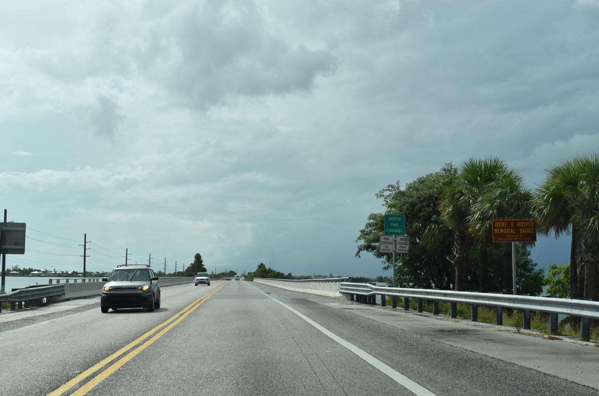
U.S. 1 south leaves Big Pine Key across North Pine Channel on a bridge built in 1981.
10/16/20
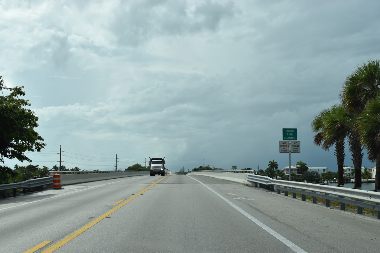
A narrow causeway leads Overseas Highway west from North Pine Channel to South Pine Channel. Remnants of the original Overseas Highway bridge parallel to the south.
10/16/20
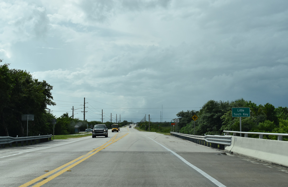
U.S. 1 (Overseas Highway) reaches Little Torch Key ahead of Barry Avenue north and Pirates Road south, residential streets along South Pine Channel.
10/16/20
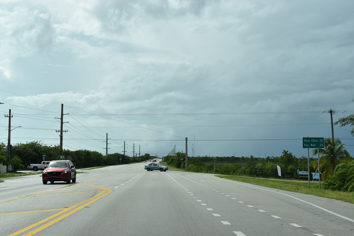
Boca Chica, home to Naval Air Station Key West, lies 22 miles west of Little Torch Key.
10/16/20
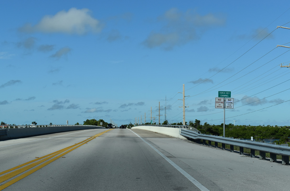
U.S. 1 spans Torch Channel between Little Torch and Middle Torch Keys.
10/17/20
The 1938 alignment of Overseas Highway on Little Torch Key follows State Road 4A north 1.56 miles to a dead end at Pine Channel. There is no bridge between SR 4A on Little Torch Key and Watson Boulevard (old SR 4A) on Big Pine Key.
05/07/06
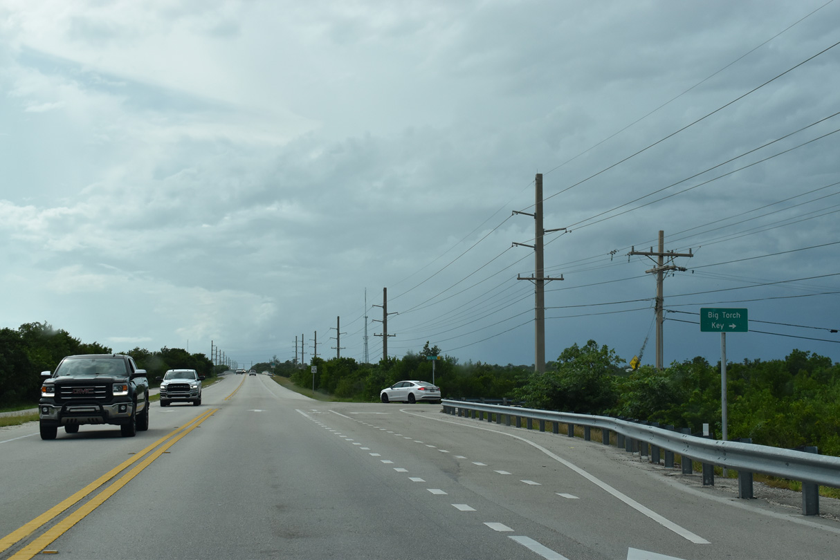
Linking with Dorn Road to Big Torch Key, Middle Torch Road spurs 2.98 miles to the north end of Middle Torch Key.
10/16/20
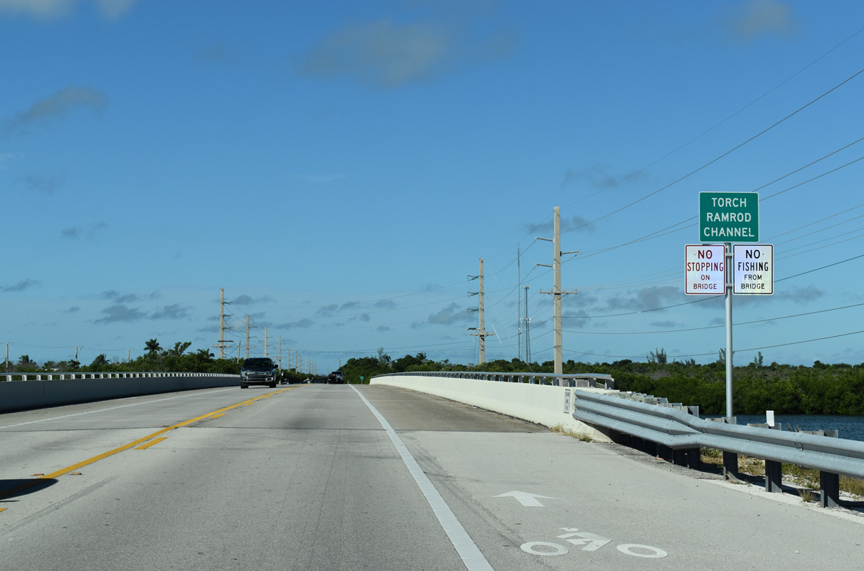
The bridge spanning Torch Ramrod Key west onto Ramrod Key along U.S. 1 was built in 1982.
10/17/20
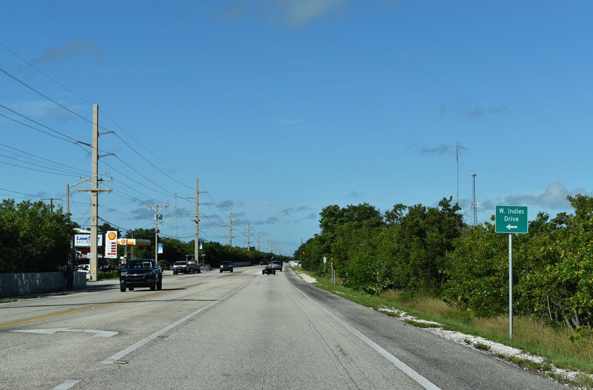
Development on Ramrod Key is confined to Indies Drive to the south and along and north of old sections of SR 4A. Old SR 4A parallels Overseas Highway nearby and is accessible via Mako, Munson and Coral Avenues.
10/17/20
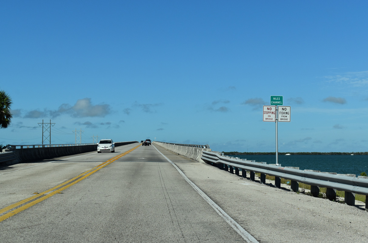
Over a mile in width, Niles Channel separates Ramrod and Summerland Keys along Overseas Highway.
10/17/20

Two segments of the original Overseas Highway bridge across Niles Channel remain along the south side of U.S. 1.
10/17/20
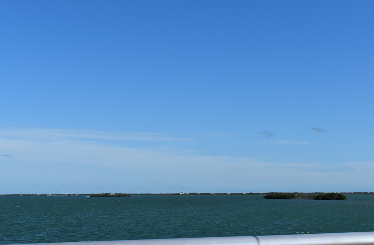
Howell Key lies midway across Niles Channel to the north of U.S. 1.
10/17/20
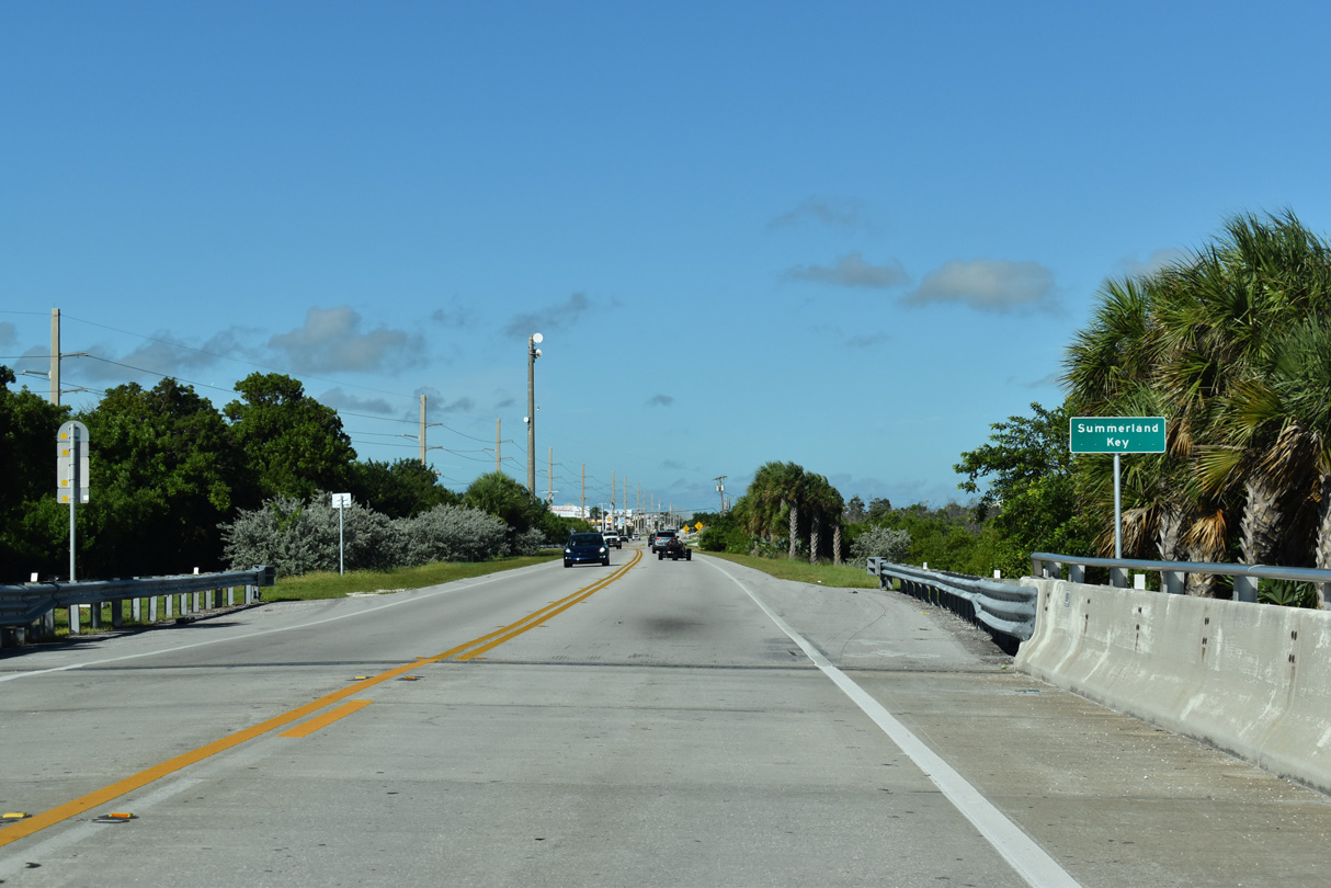
U.S. 1 southbound arrives at Summerland Key. Most of the island south of U.S. 1 is part of the Summerland Key Cove residential community,
10/17/20
A 1.41 mile long spur, unsigned CR 942 lines East Shore Drive and Ocean Drive from U.S. 1 to the south end of Summerland Key.
10/16/20
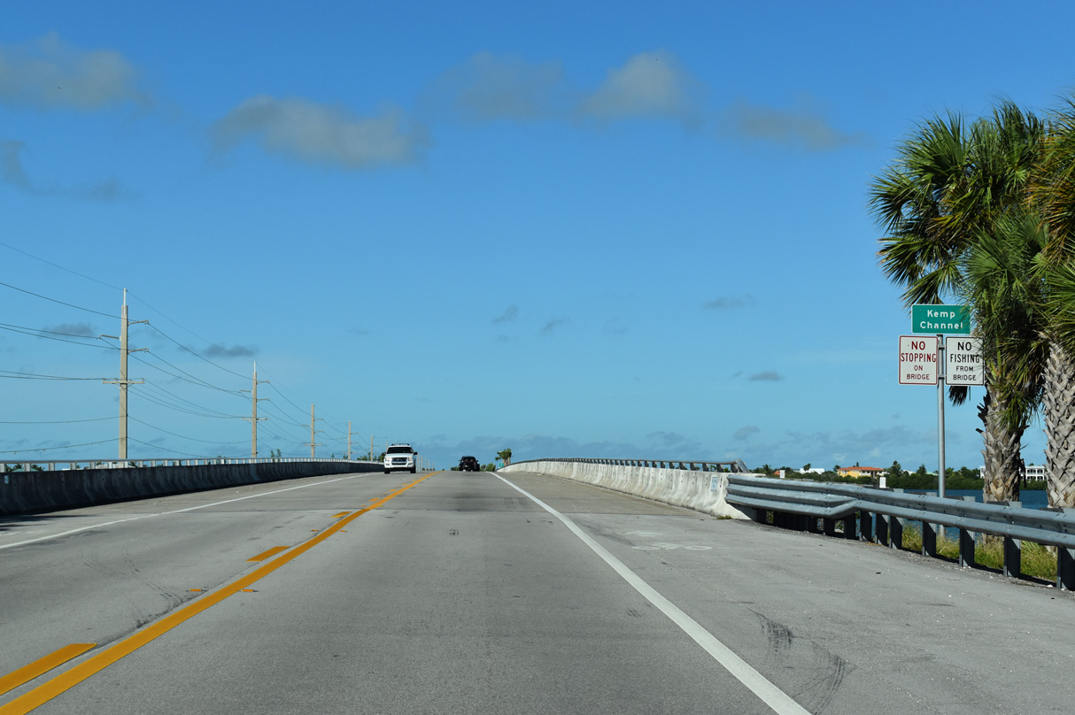
Kemp Channel separates Summerland and Cudjoe Keys.
10/17/20
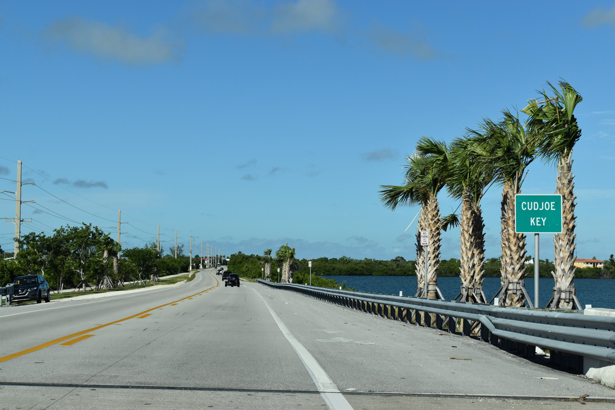
U.S. 1 runs across southern reaches of Cudjoe Key near Cudjoe Bay. Canal-lined streets comprise the residential neighborhoods on the south side of the island. Blimp Road stems 1.95 miles north to Valencia Road and a boat ramp on Kemp Channel.
10/17/20
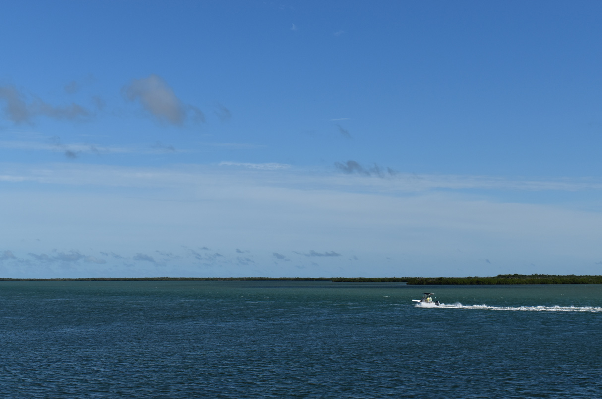
Waters in Kemp Channel flow to the west of Little Knockemdown and Knockemdown Keys.
10/16/20
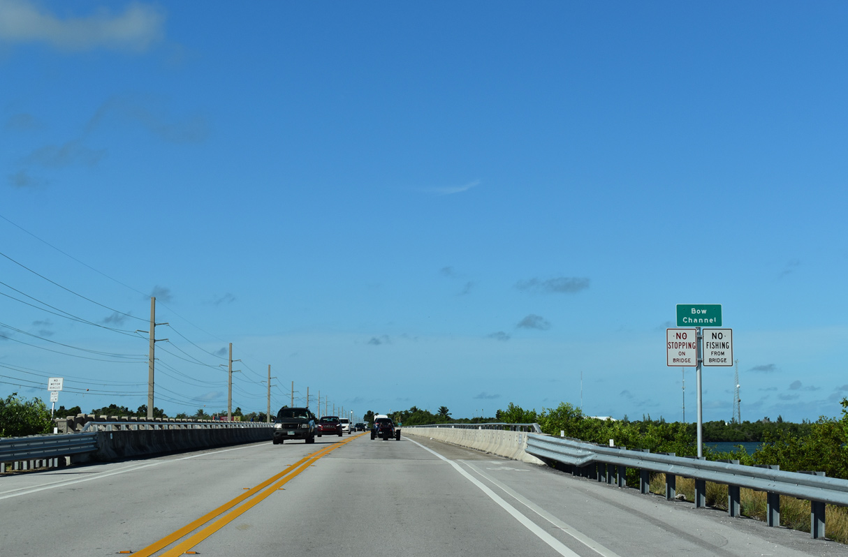
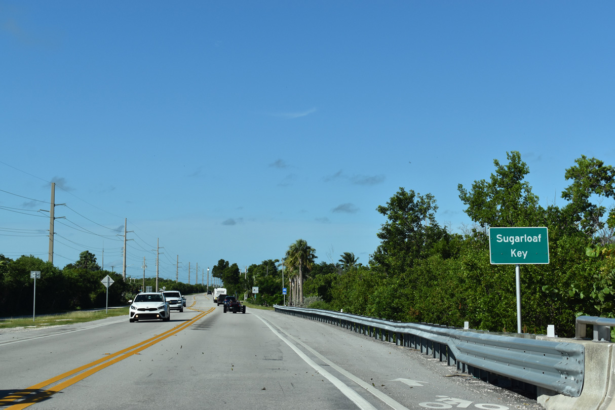
Shifting southward, U.S. 1 spans Bow Channel west onto Sugarloaf Key. Part of the Florida Keys Overseas Heritage Trail, the original Overseas Highway parallels the south side of U.S. 1.
10/17/20
Overseas Highway crosses the eastern crescent of Sugarloaf Key between mile posts 20 and 19, north of Pirates Cove.
10/17/20
State Road 939B constitutes another section of the original Overseas Highway. Unsigned CR 939 spurs 0.59 miles south to Pirates Cove. An abandoned section of highway extends from there southwest to Tarpon Creek, with another from Tarpon Creek to Sugarloaf Boulevard.
10/17/20
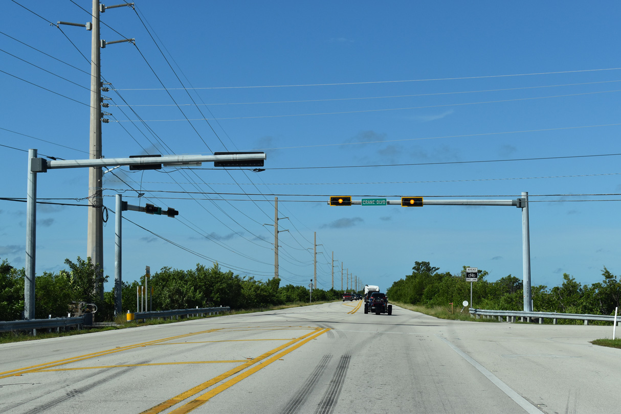
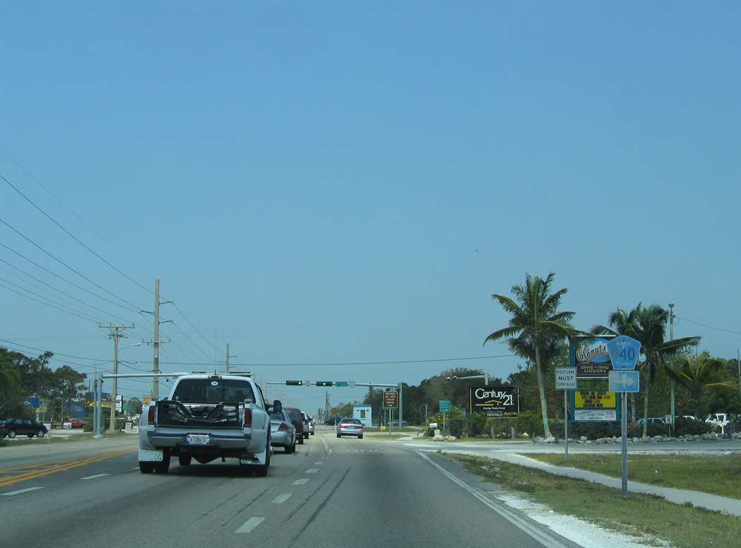
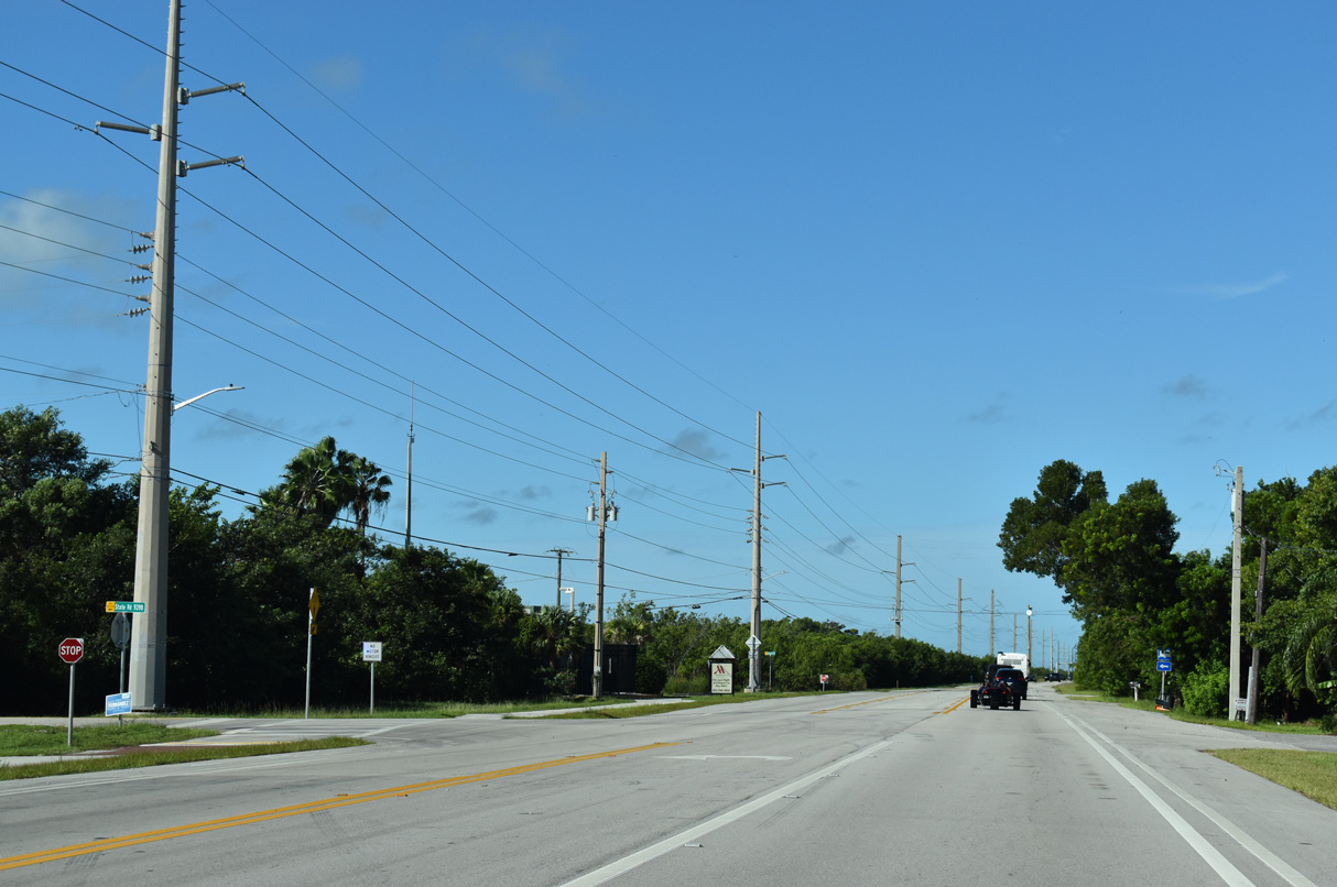
Traffic lights operate at U.S. 1 and Crane Boulevard on Sugarloaf Key. Crane Boulevard travels north from Overseas Highway by an array of residential streets to Happy Jack Mangrove.
10/17/20
U.S. 1 advances west along a narrow causeway crossing shallow waters of Upper Sugarloaf Sound to span Park Channel. This bridge was built in 1981.
10/16/20
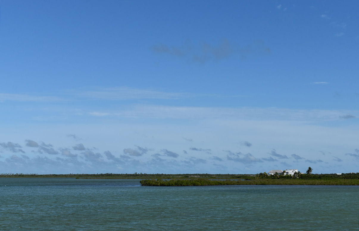
Upper Sugarloaf Sound and northern reaches of Sugarloaf Key.
10/17/20
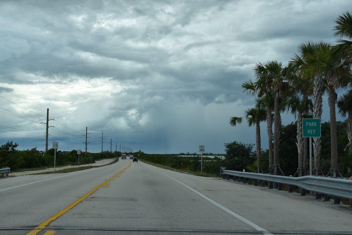
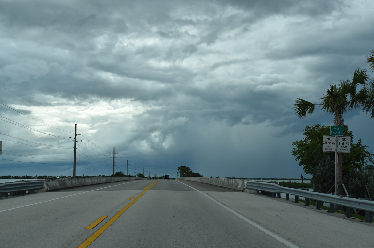
Park Channel separates Sugarloaf Key from Park Key, a small undeveloped island.
10/16/20
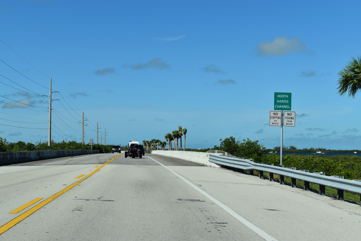
U.S. 1 crosses North Harris Channel west from Park Key and south of Buttonwood Key.
10/17/20
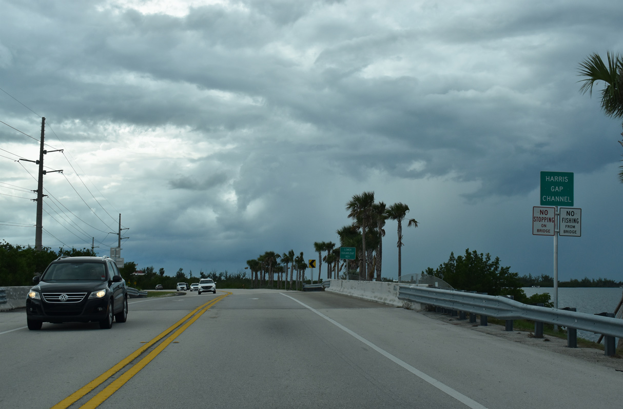
A short bridge dating from 1981 takes U.S. 1 over Harris Gap Channel.
10/16/20
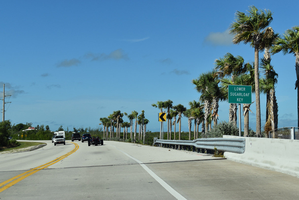
Overseas Highway traverses Lower Sugarloaf Key at the Sugarloaf Shores community.
10/17/20

Sugarloaf Boulevard (unsigned CR 939) angles 2.67 miles southeast through canal-lined Sugarloaf Shores neighborhood to SR 939A (old State Road 4A). SR 939A follows the coast west 2.94 miles to a dead end beyond Sugarloaf Beach.
10/17/20
Confirming marker posted between and Sugarloaf Boulevard (CR 939) South Point Drive on Lower Sugarloaf Key.
10/17/20

U.S. 1 (Overseas Highway) south spans Harris Channel west from Sugarloaf Shores.
10/17/20
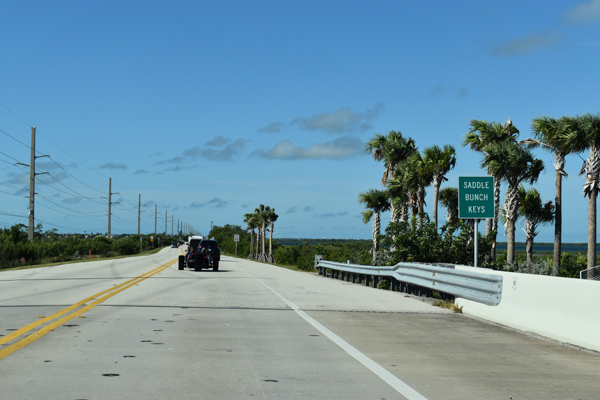
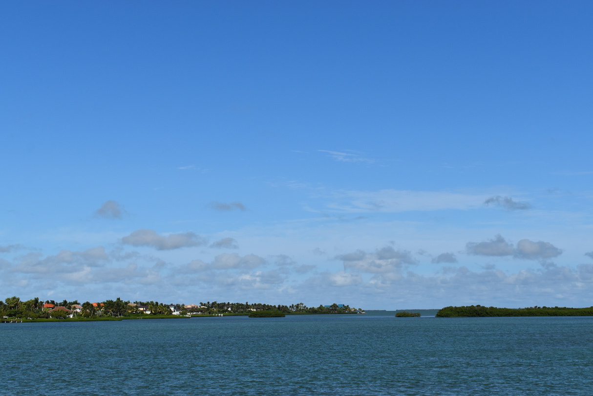
The Saddle Bunch Keys constitute an array of mostly uninhabited islands spread across Lower Sugarloaf Sound and Similar Sound.
10/17/20
Shallow waters surround Lower Sugarloaf Channel along U.S. 1. The adjacent old Overseas Highway bridge remains in use as part of the Florida Keys Overseas Heritage Trail.
10/17/20
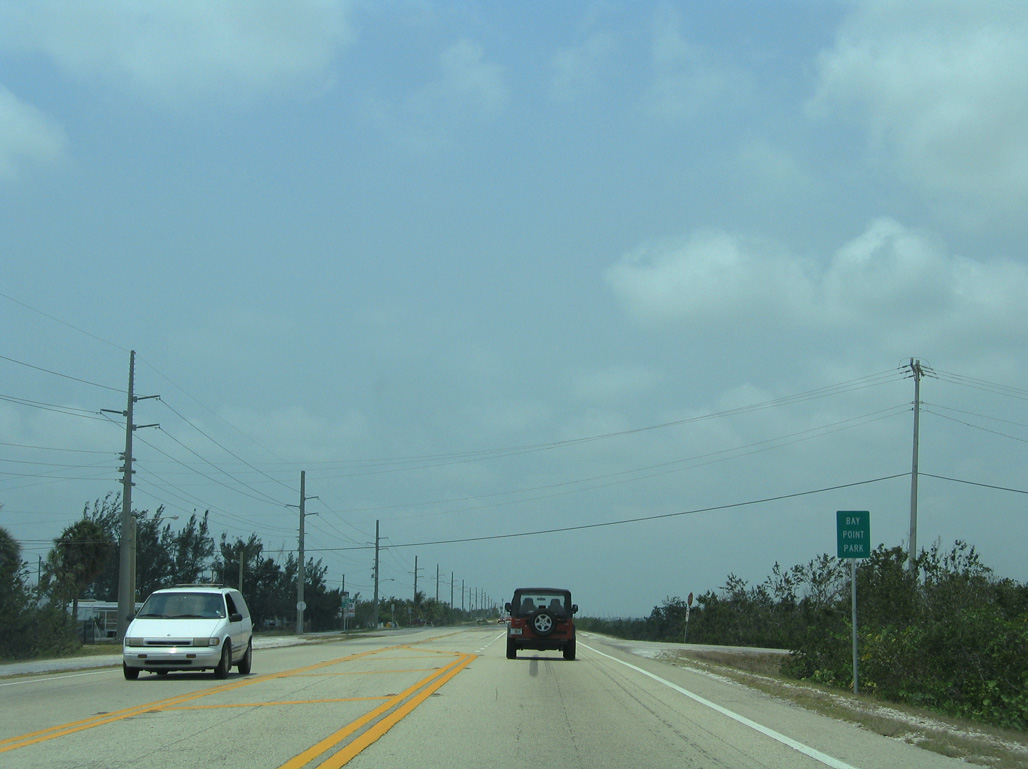
A narrow strip of built-up land extends south of U.S. 1 at Bay Point Park along the west edge of Lower Sugarloaf Channel. East and West Circle Drives link Overseas Highway with Bay Drive.
05/07/06
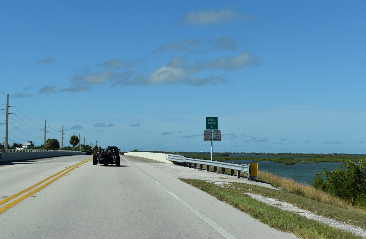
Overseas Highway spans shallow waters across Saddlebunch #2 Channel ahead of Blue Water Drive south to an RV Resort and a neighborhood along Saddlebunch #3 Channel.
10/17/20
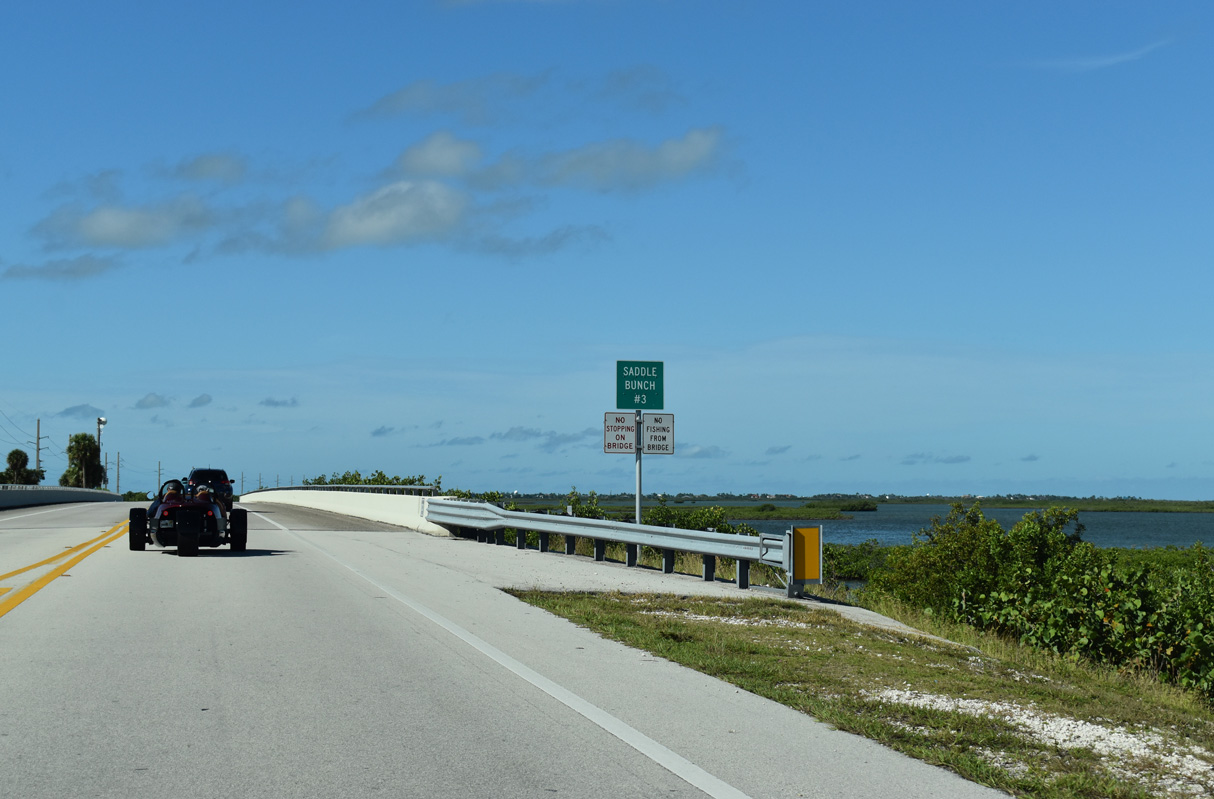
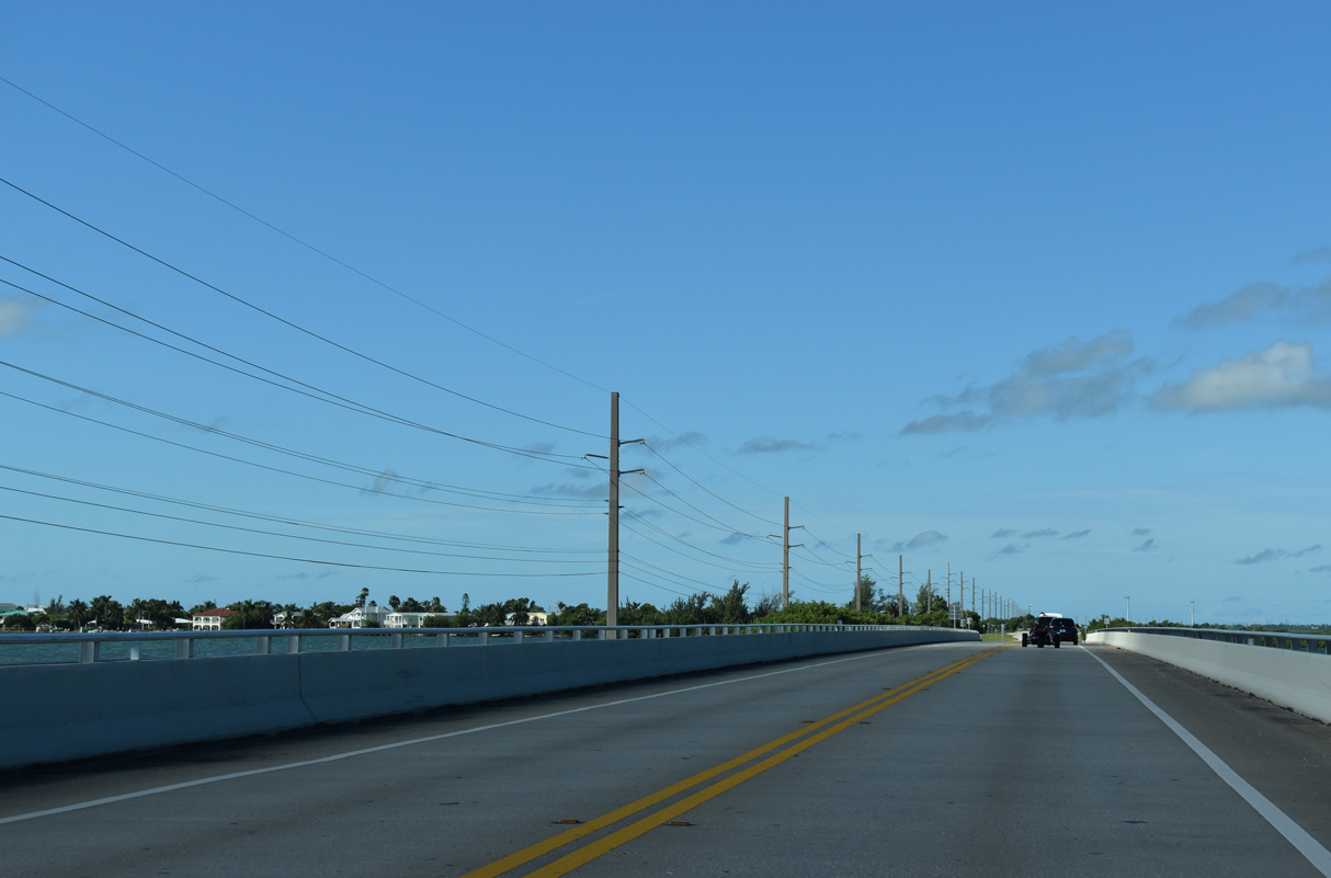
The next populated area west from Saddle Bunch #3 Channel is at Big Coppit Key in 3.5 miles.
10/17/20
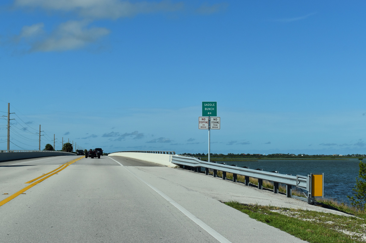
The original Overseas Highway runs along the south side of U.S. 1 across Saddle Bunch #4 Channel.
10/17/20
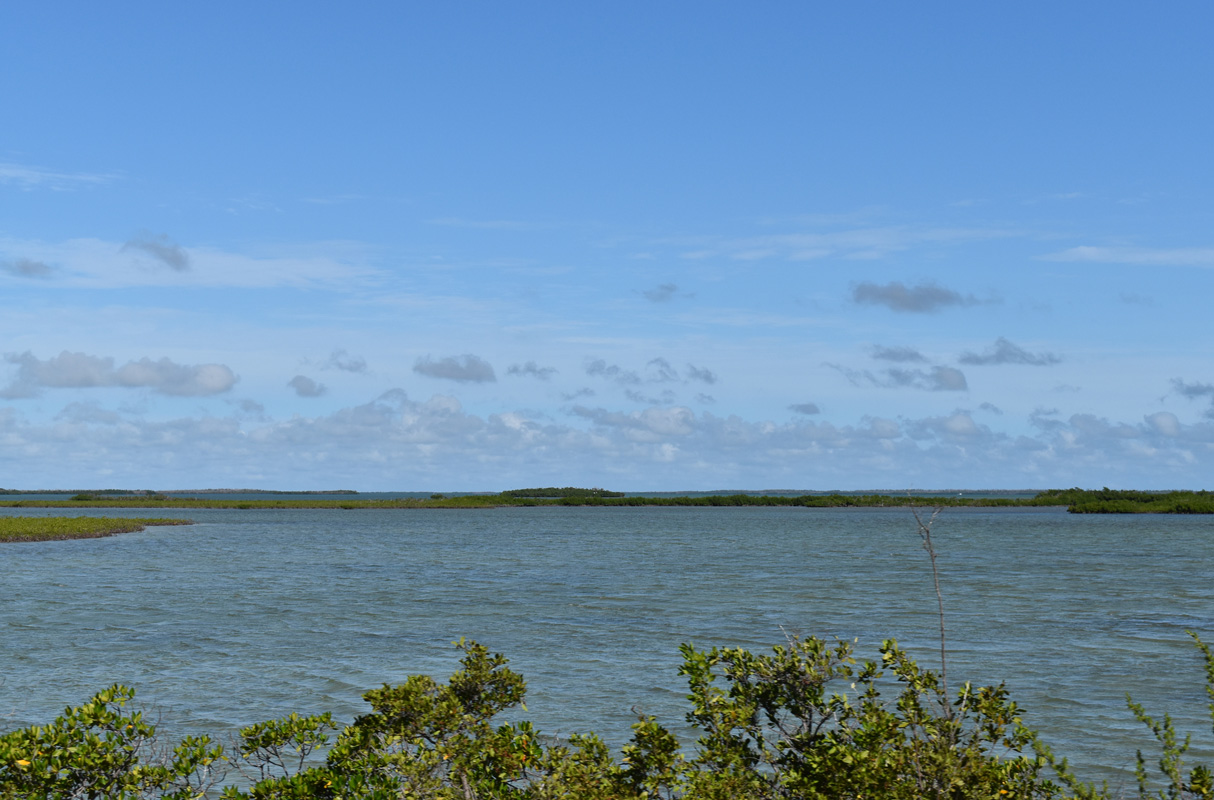
Northern reaches of the Saddlebunch Keys.
10/17/20
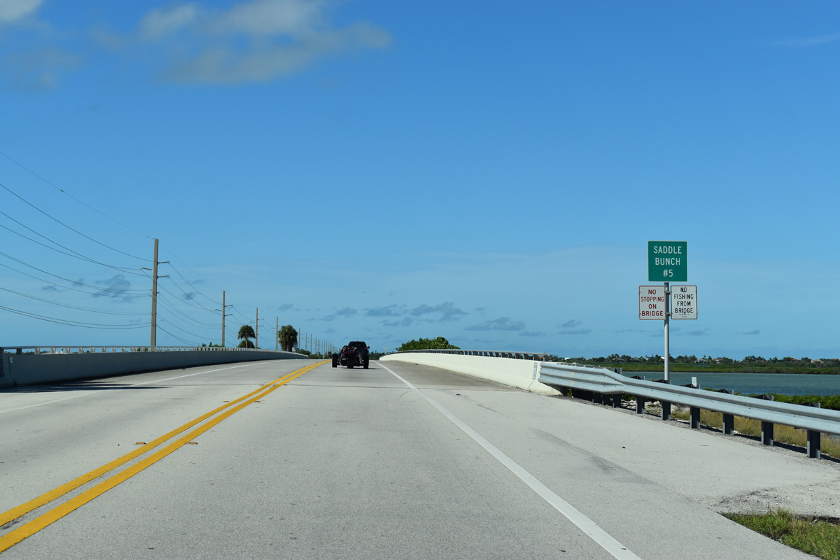
Saddle Bunch #5 Channel flows between Similar Sound and Waltz Key Basin.
10/17/20
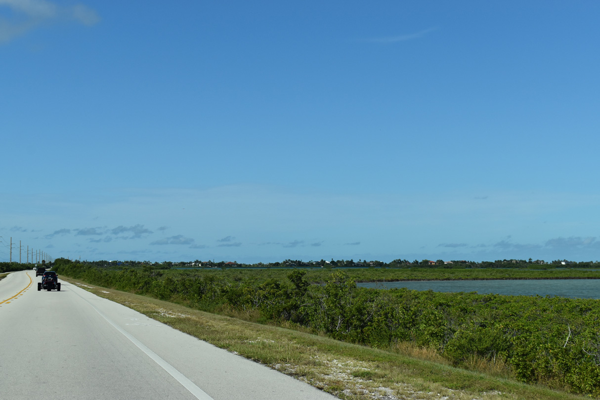
U.S. 1 west ahead of mile marker 12.
10/17/20
U.S. 1 meets Cannon Royal Drive just west of Shark Channel. Cannon Royal Drive meanders north through the gated Shark Key community.
10/17/20
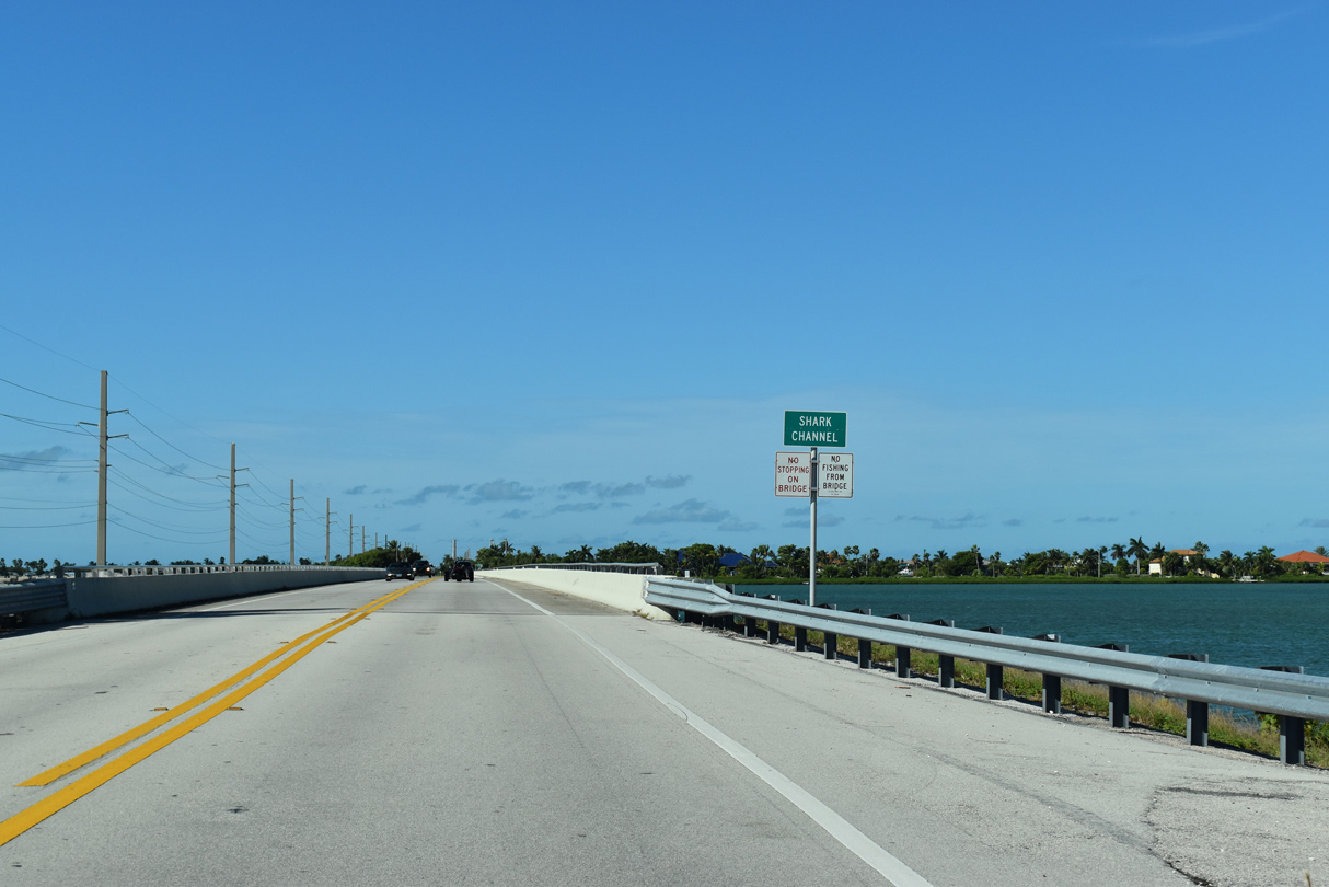
Shark Channel flows north from Overseas Highway between Shark Key and O'Hara Key.
10/17/20
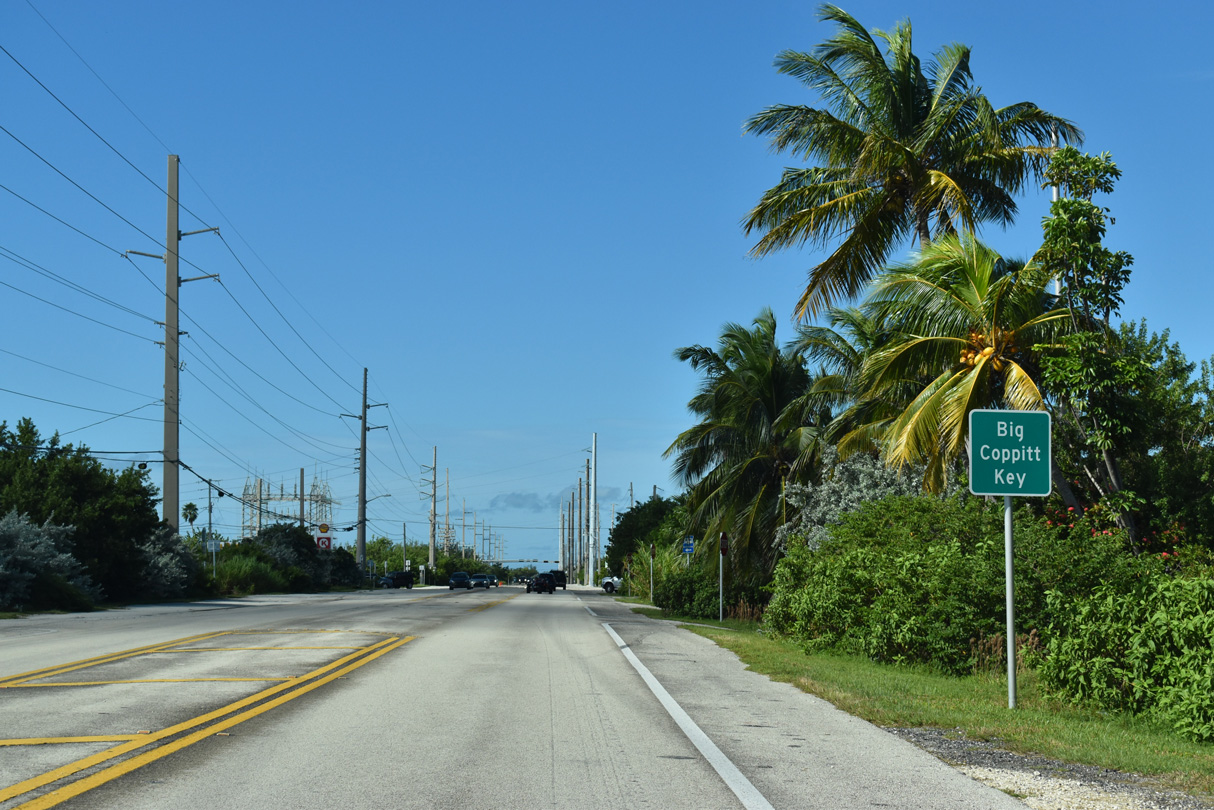
A causeway connects Shark Key with Big Coppitt Key along U.S. 1.
10/17/20
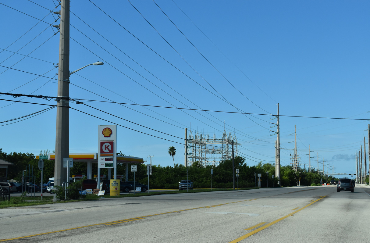
Boca Chica Road (former CR 941) arcs southward along the east and southern periphery of Big Coppitt Key, serving residential areas before ending near Naval Air Station Key West. The original Overseas Highway followed the south coastline of Big Coppitt and Rockland Keys to Boca Chica Channel.
10/17/20


References:
- Florida State Parks - Bahia Honda State Park. http://www.abfla.com/parks/BahiaHonda/bahiahonda.html
- History Of Overseas Highway. Florida Keys History Museum.
- History for Bahia Honda State Park » Florida State Parks.
http://www.floridastateparks.org/bahiahonda/History.cfm. - National Key Deer Refuge - Southeast Region. http://www.fws.gov/nationalkeydeer/
- History of Big Pine Key. Florida Keys History Museum.
Photo Credits:
- Alex Nitzman: 10/16/20, 10/17/20
- Alex Nitzman, Justin Cozart: 05/07/06
Page Updated Monday August 12, 2024.