
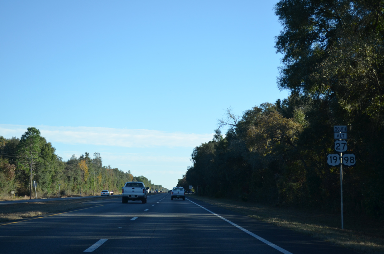
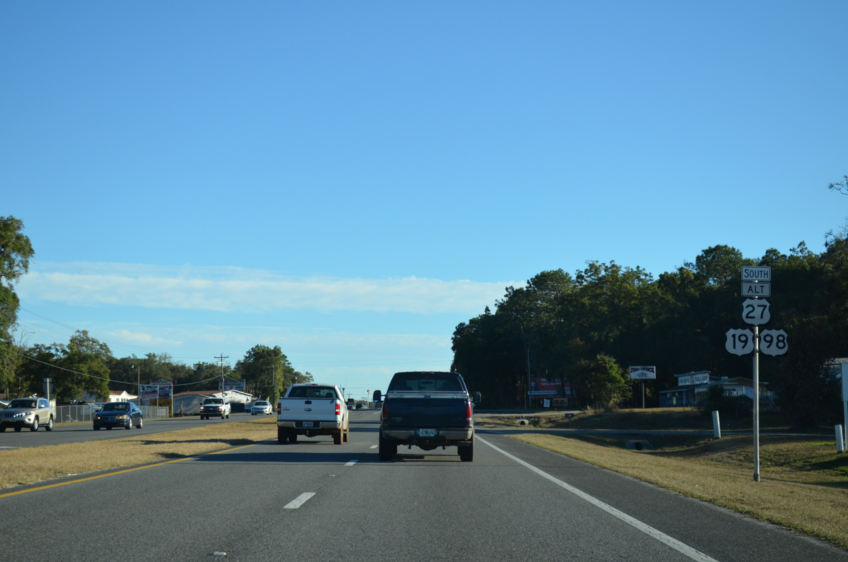
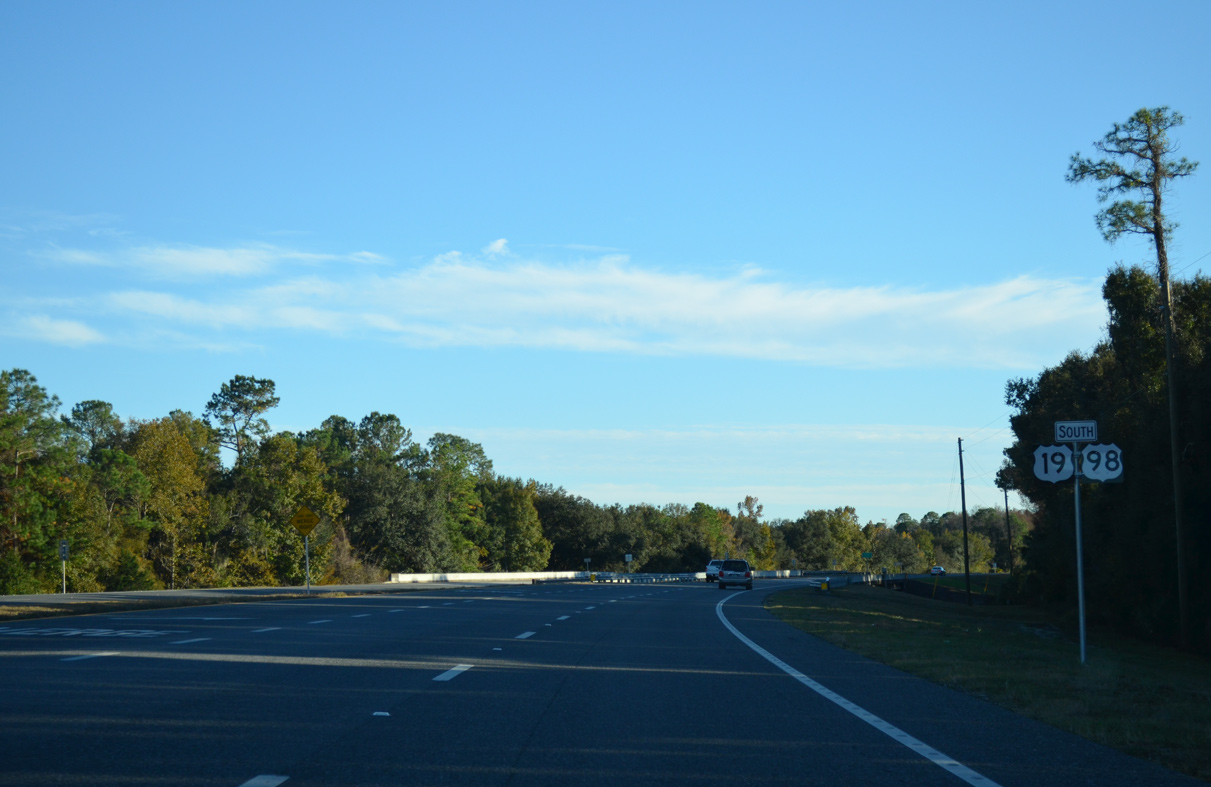
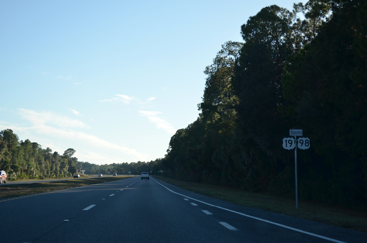
U.S. 19/98/27 Alternate South - Levy County


 South
South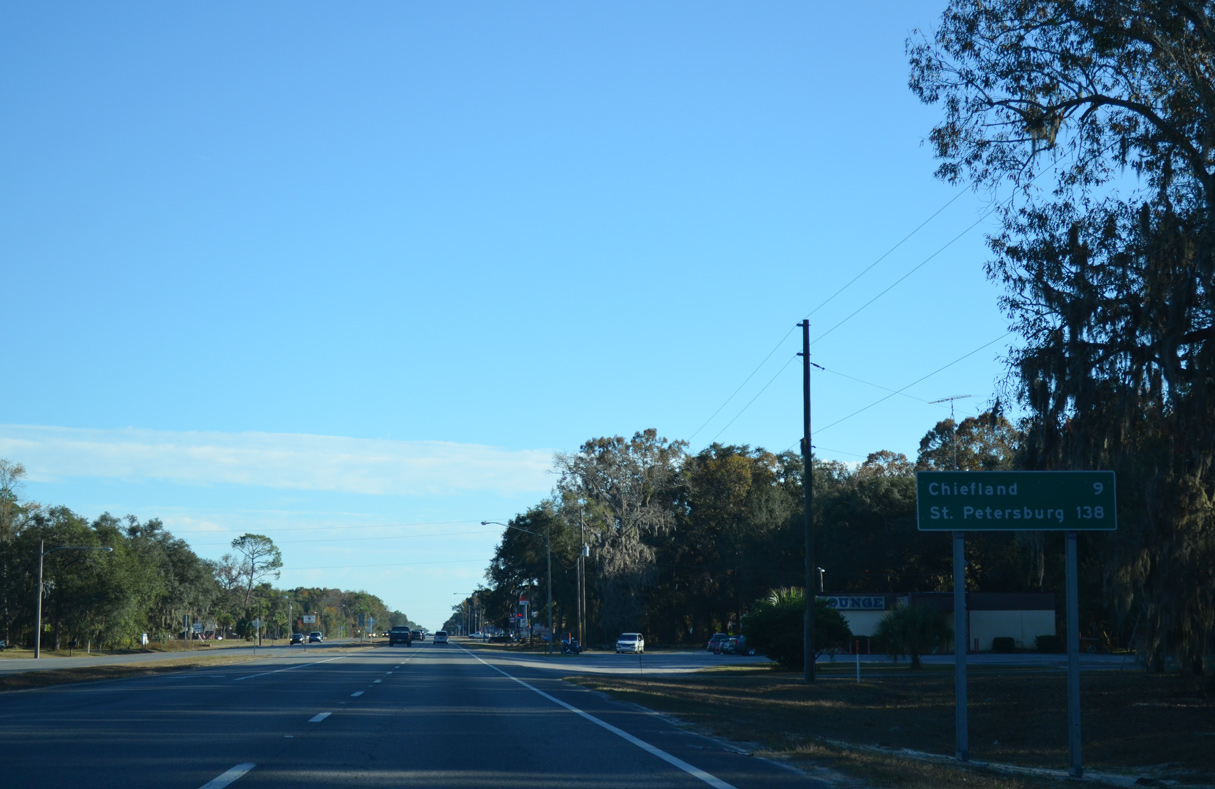
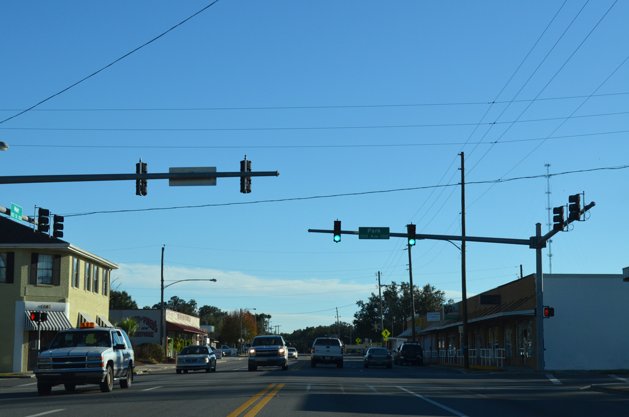
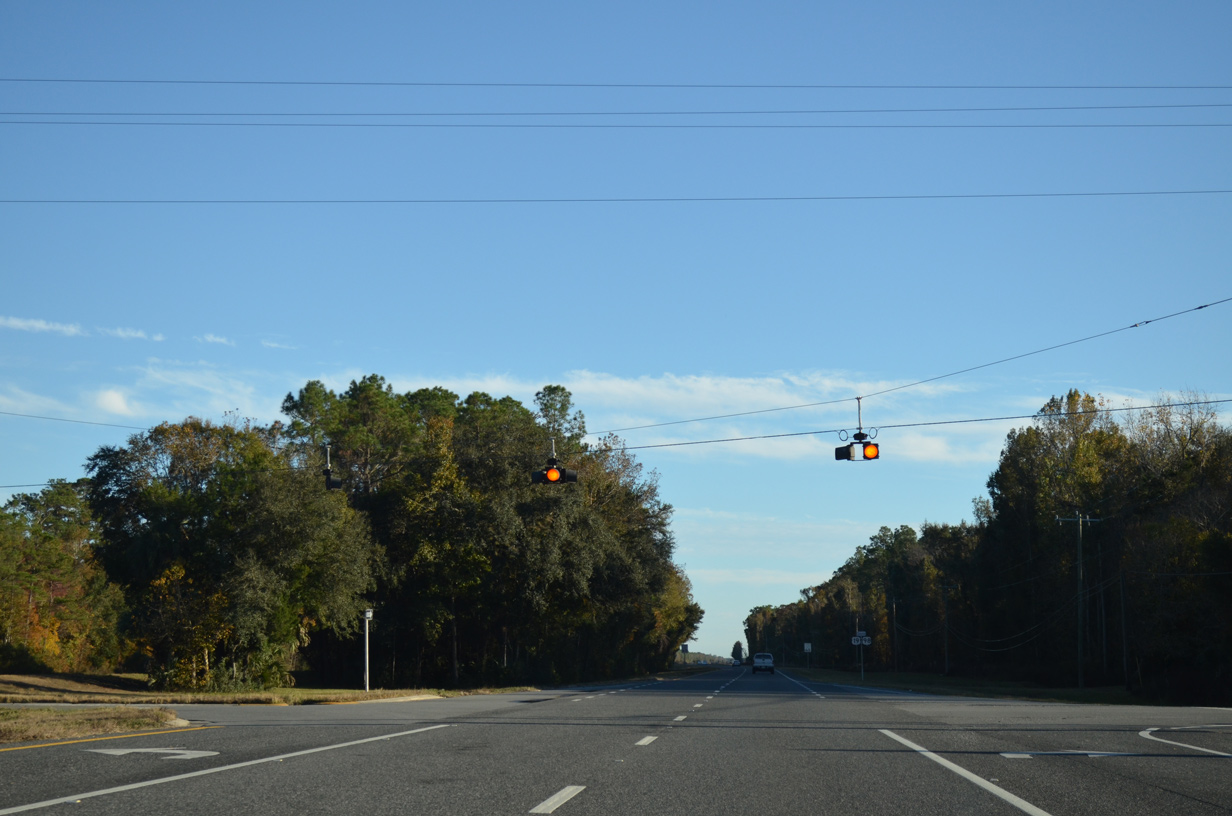
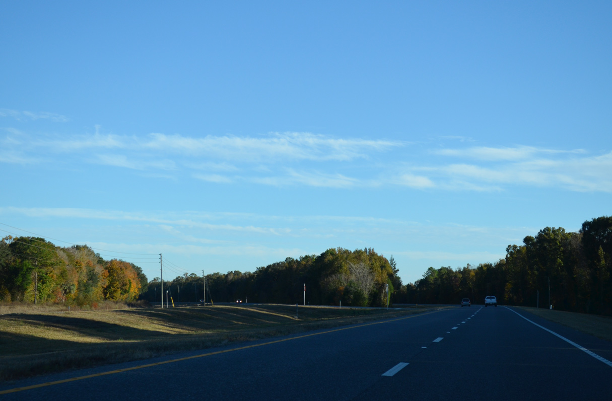
U.S. 19/98/27 ALT turn southeast from SR 26 and the Gilchrist County line nine miles to Chiefland.
11/26/14
11/26/14
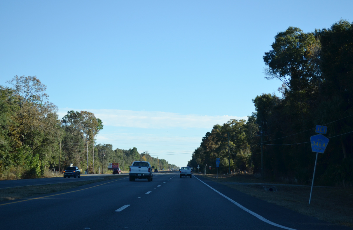
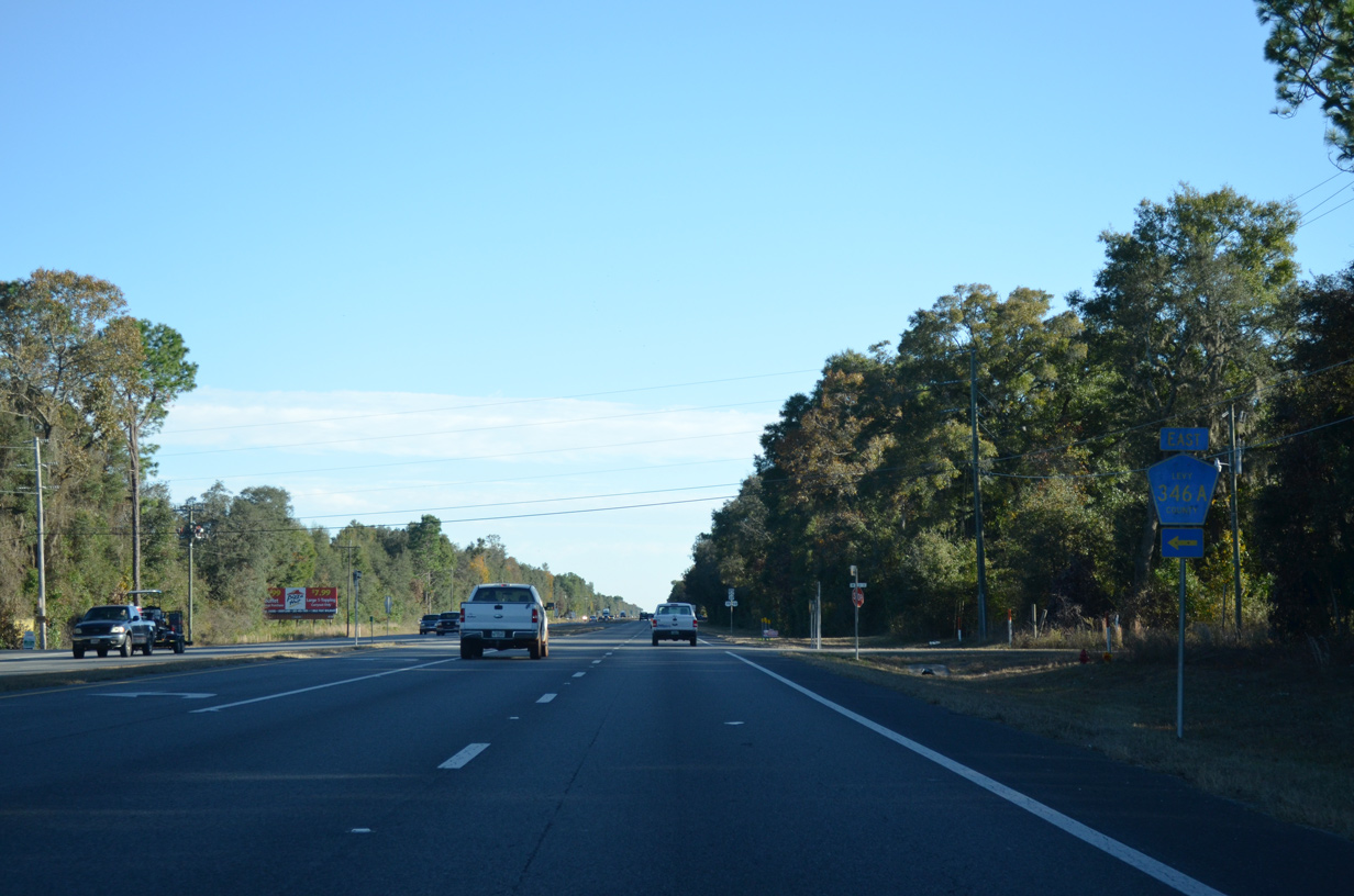
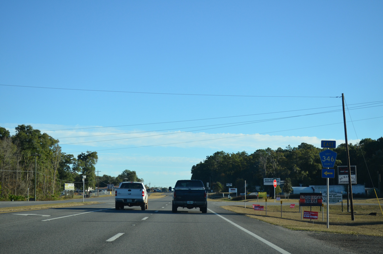
CR 346A (NW 165th Street) runs 2.32 miles east from Fanning Springs to CR 341 (NW 60th Avenue).
11/26/14
11/26/14
11/26/14
11/26/14
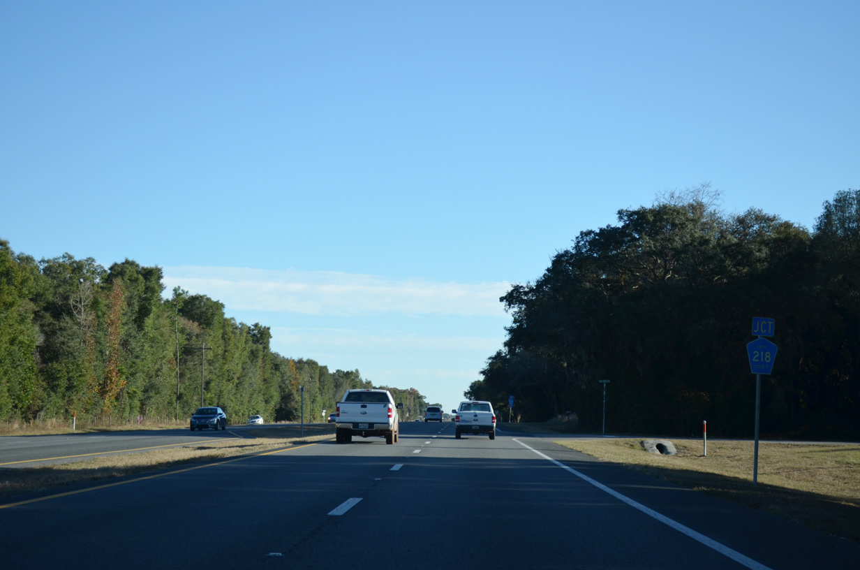
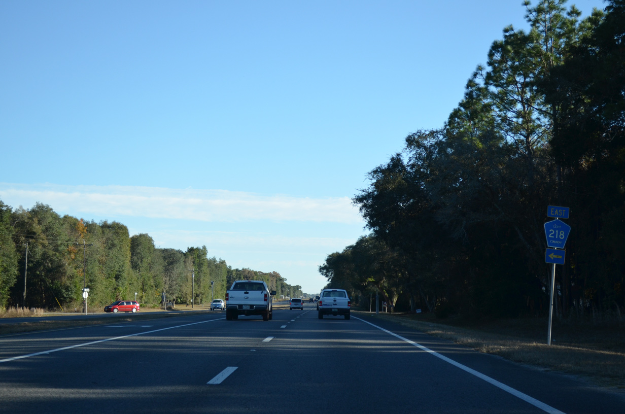
CR 218 lines NW 150th Street 1.5 miles east to CR 341.
11/26/14
11/26/14
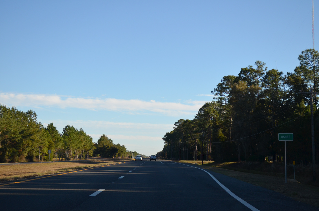
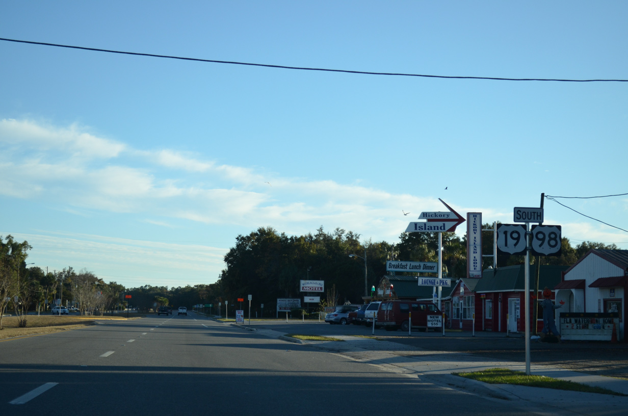
Levy County Road 218 is only acknowledged on U.S. 19/98/27 ALT at its west end.
11/26/14
11/26/14
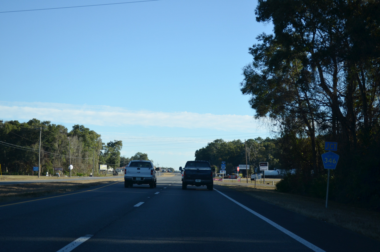
CR 346 follows NW 140th Street 4.01 miles east from U.S. 19/98/27 ALT to U.S. 129.
11/26/14
11/26/14
11/26/14
11/26/14
11/26/14
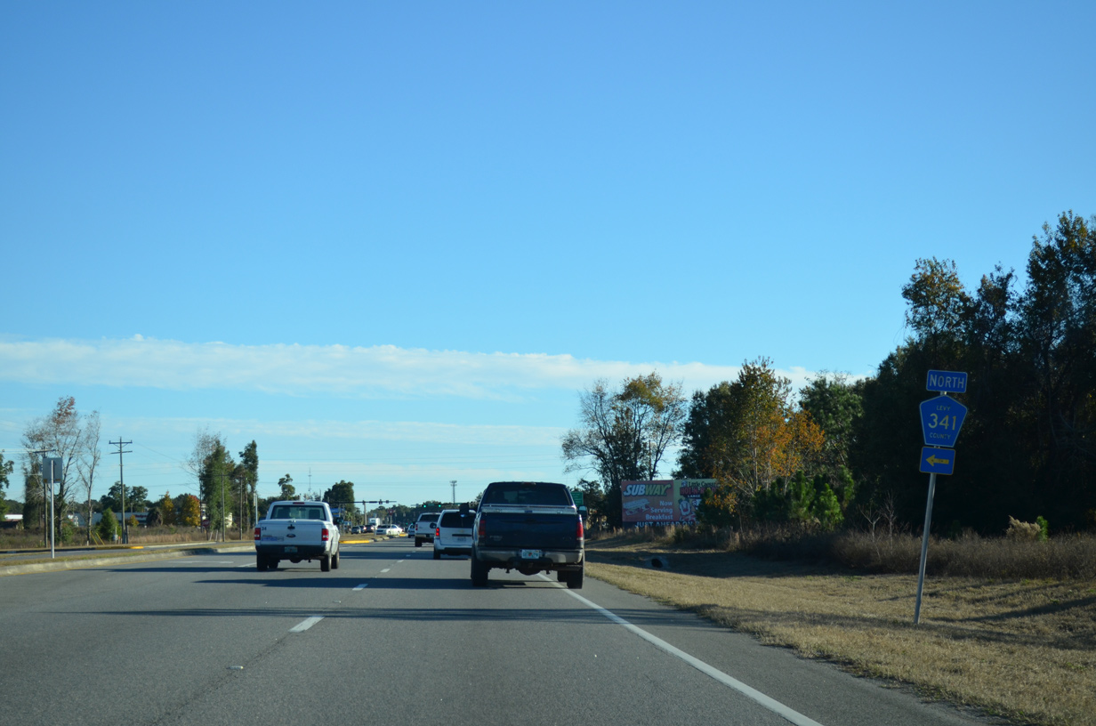
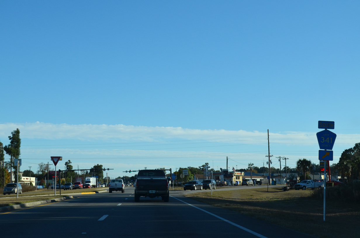
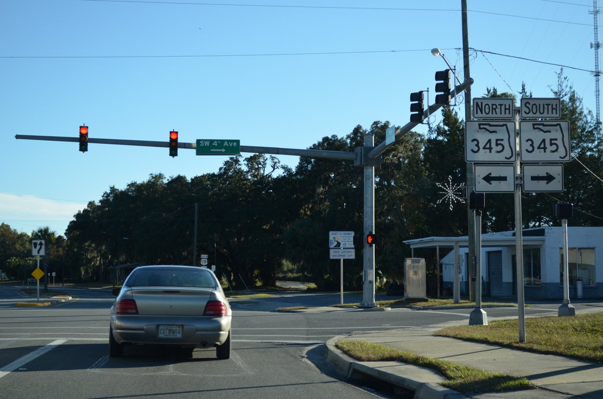
CR 341 (NW 60th Avenue) converges with U.S. 19/98/27 ALT on the north side of Chiefland.
11/26/14
11/26/14
The southern branch of CR 341 extends north to SR 26 west of Trenton and south beyond Chiefland to CR 336 (Rocky Hammock Road).
11/26/14
11/26/14
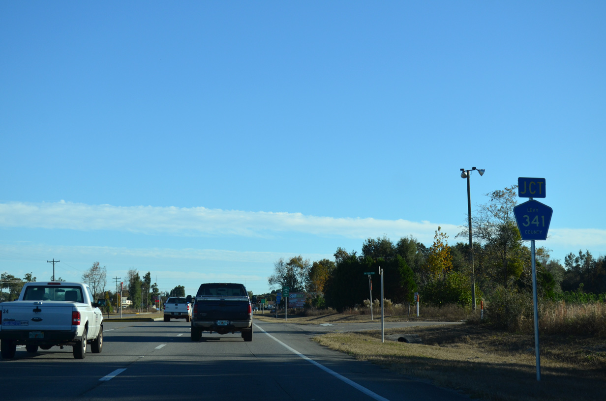
CR 341 angles across U.S. 19/98/27 ALT just north of CR 320 (NW 120th Street). CR 341 provides a cutoff to SR 320 west along NW 115th Street.
11/26/14
11/26/14
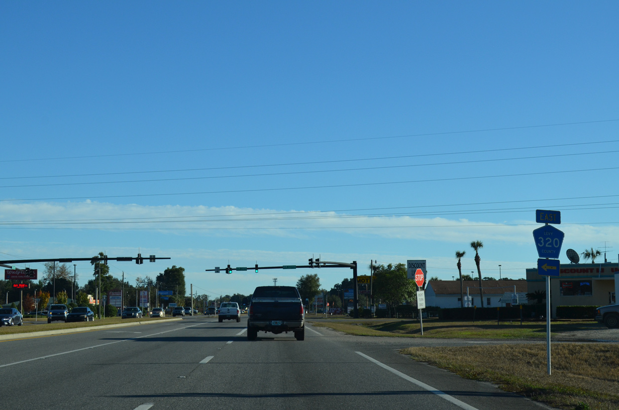
County Road 320 follows NW/NE 120th Street 8.54 miles east to CR 339 by Newton.
11/26/14
11/26/14
11/26/14
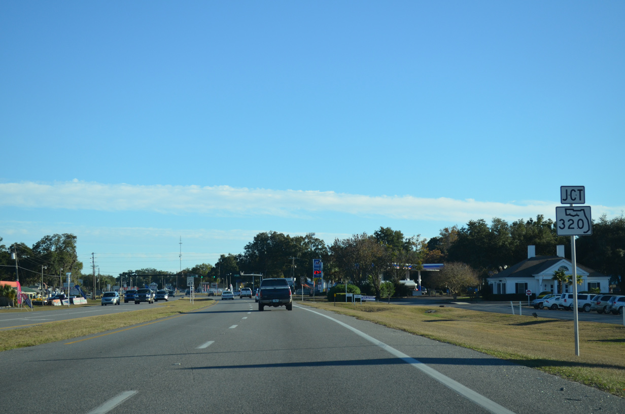
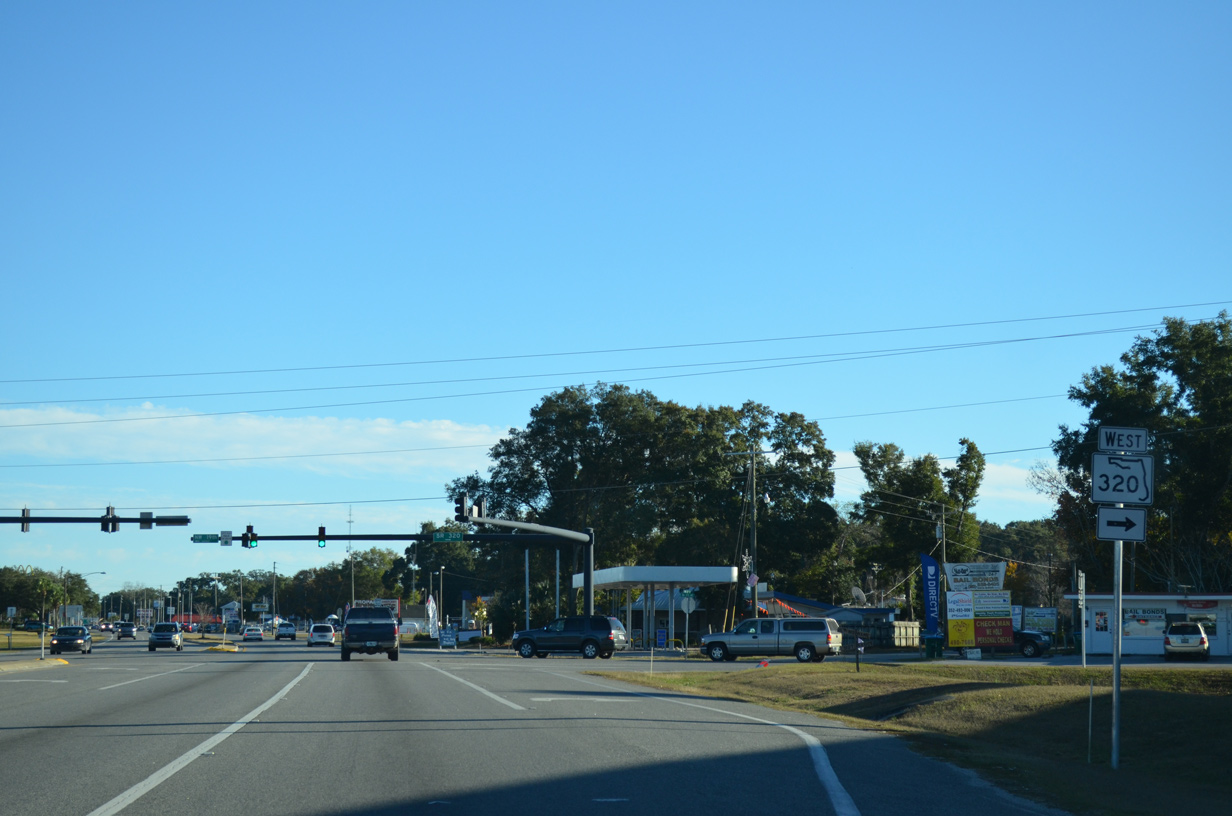
State Road 320 connects U.S. 19/98/27 ALT and the city of Chiefland with Manatee Springs State Park.
11/26/14
11/26/14
11/26/14
11/26/14
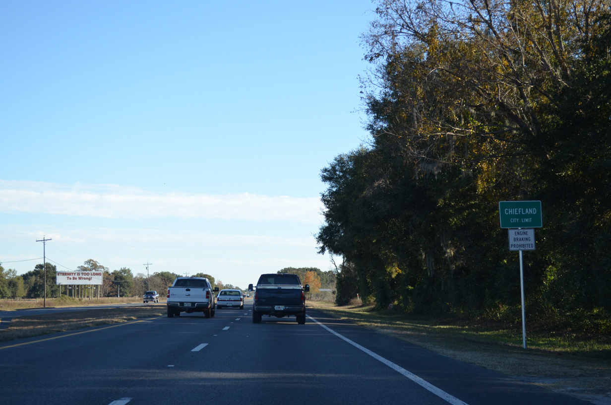
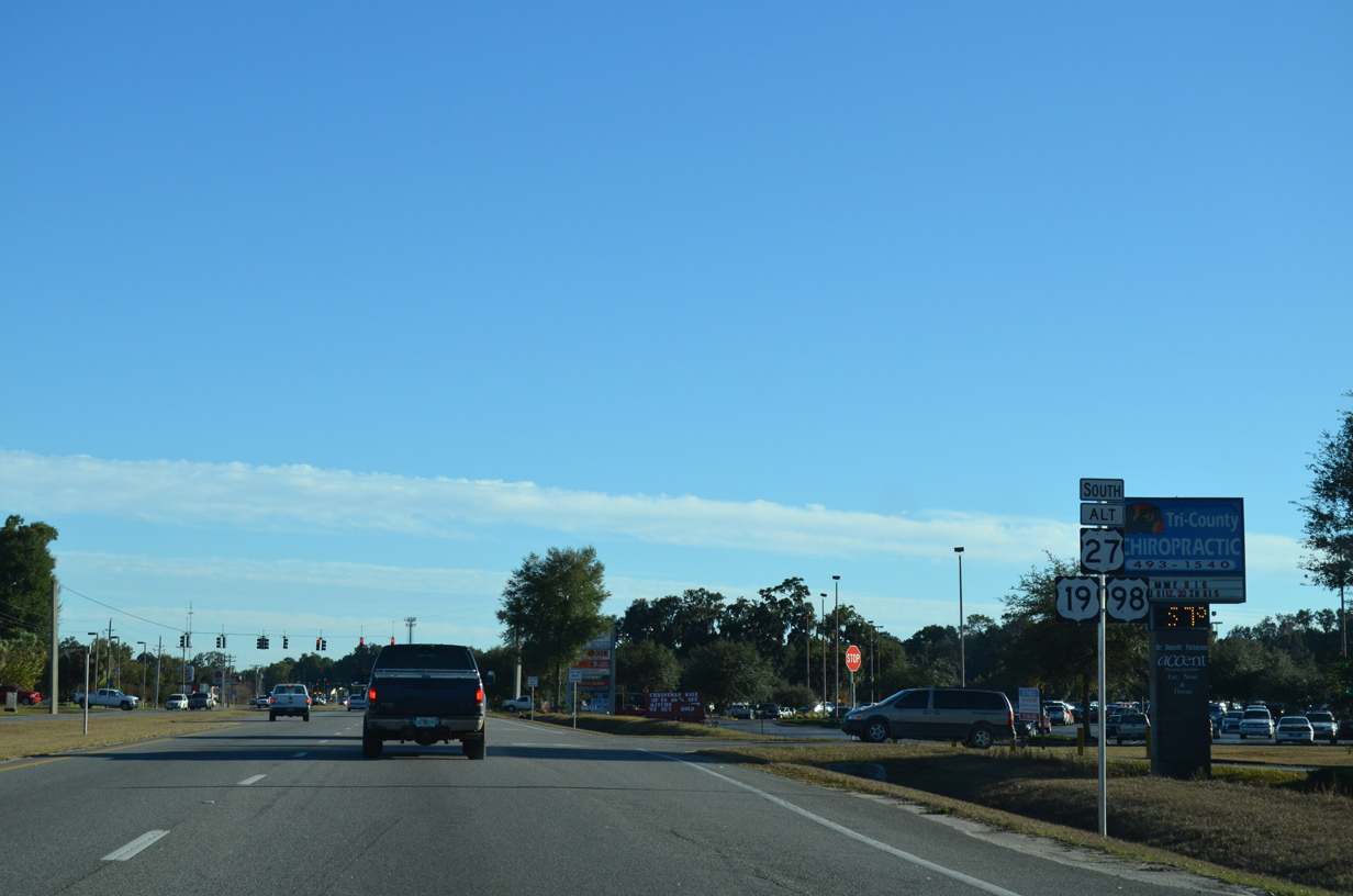
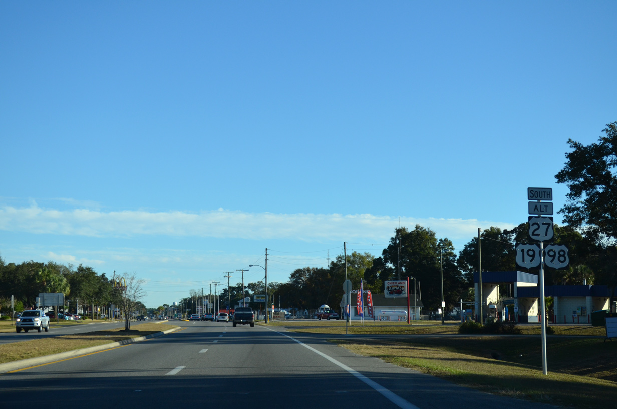
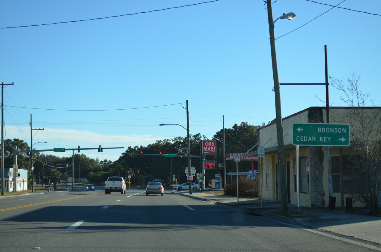
U.S. 27 Alternate separates from U.S. 19/98 south at Young Boulevard ahead of Downtown Chiefland.
11/26/14
11/26/14
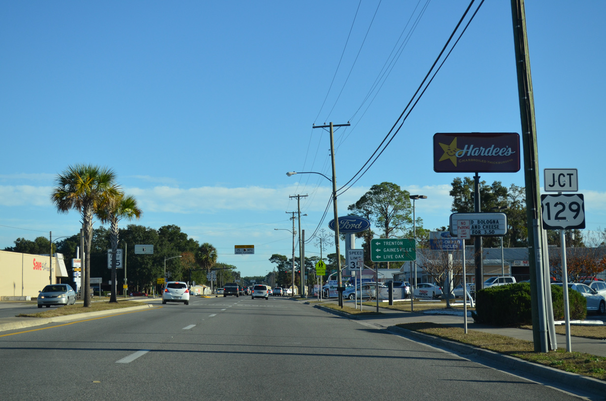
The south end of U.S. 129 precedes the split with U.S. 27 Alternate on southbound U.S. 19/98.
11/26/14
11/26/14
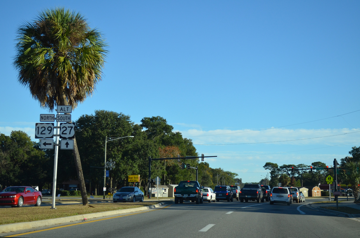
U.S. 129 travels north from Chiefland to Trenton, Branford and Live Oak. Overall the highway extends through the height of Georgia into western North Carolina and to I-40 at Knoxville, Tennessee.
11/26/14
11/26/14
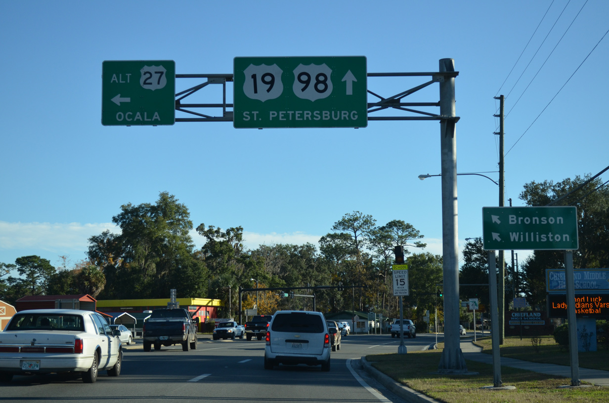
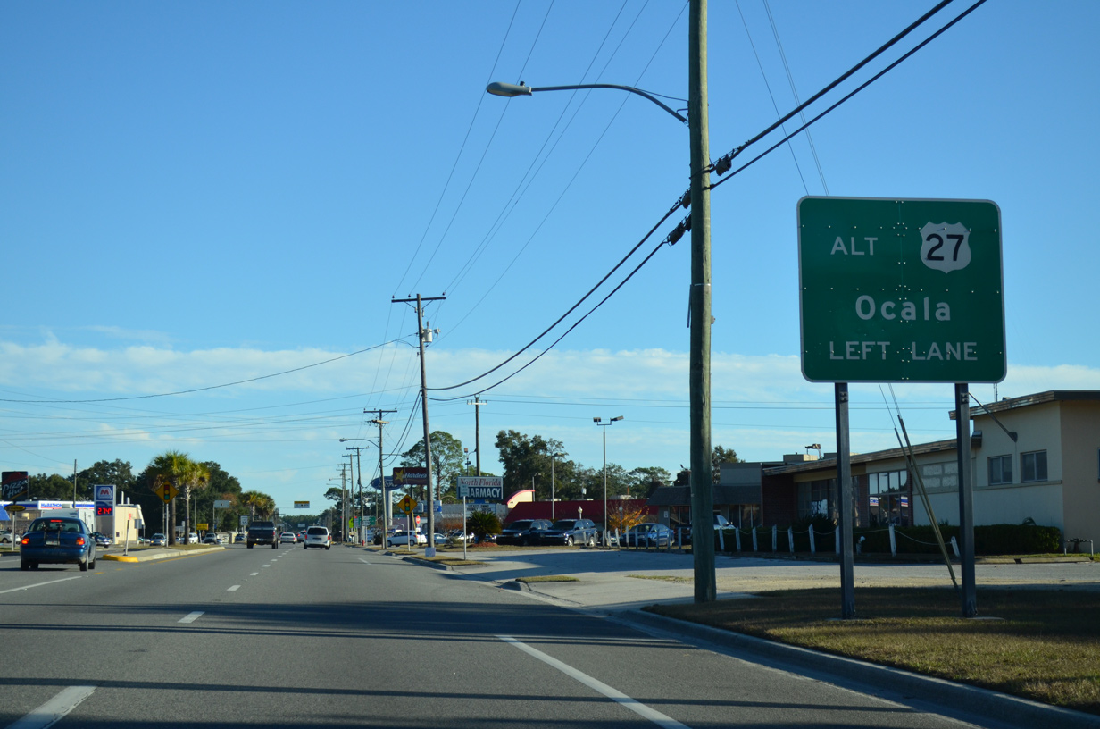
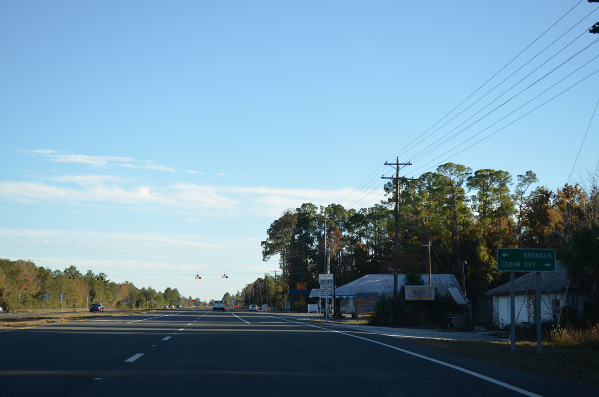
U.S. 27 Alternate parts ways with U.S. 19/98 at the subsequent intersection south from U.S. 129 (Rodgers Boulevard). The remainder of the four lane highway heads east to Bronson and U.S. 41/27 at Williston.
11/26/14
11/26/14
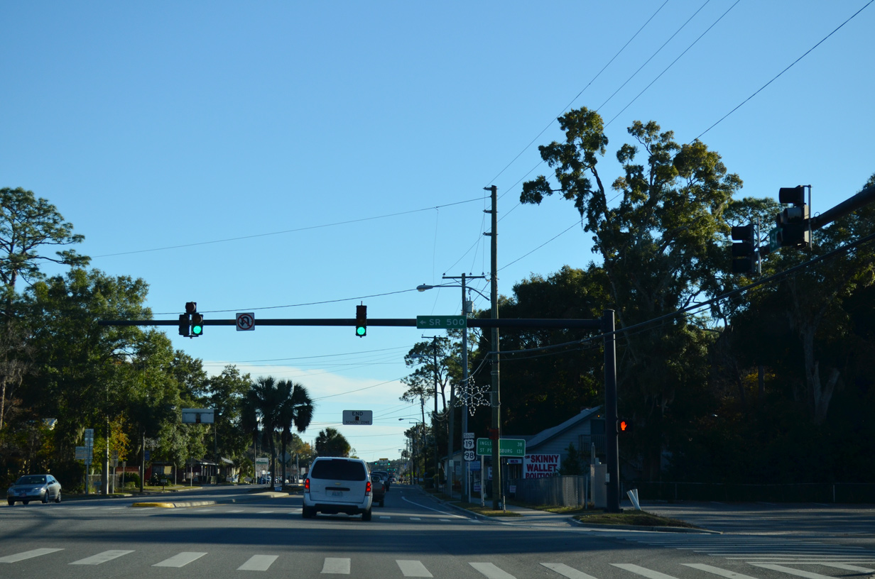
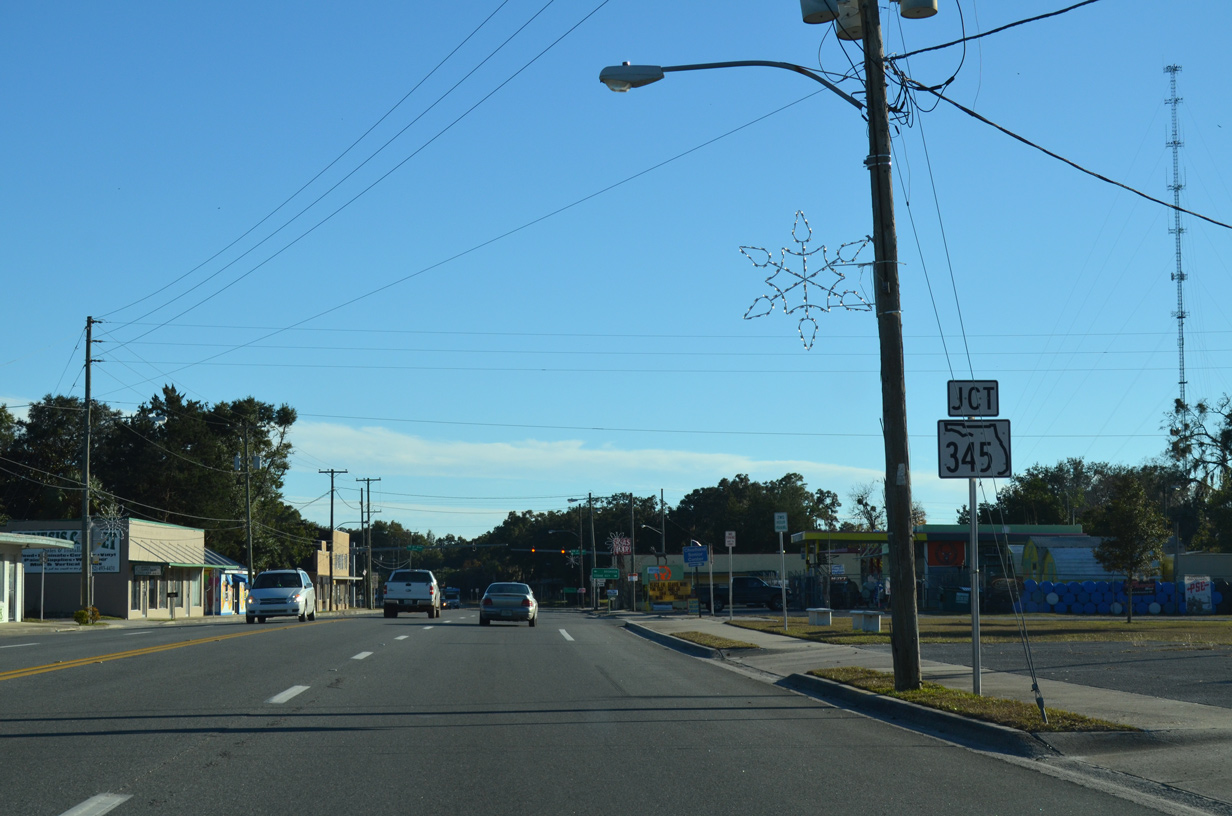
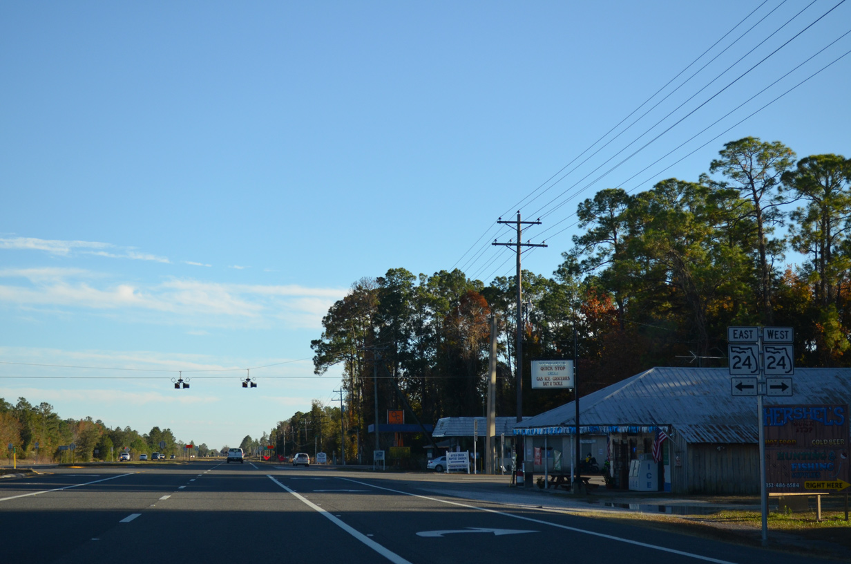
State Road 500, acknowledged at the turn of U.S. 27 ALT from U.S. 19/98, underlays the bannered route 26.60 miles to U.S. 27.
11/26/14
11/26/14
South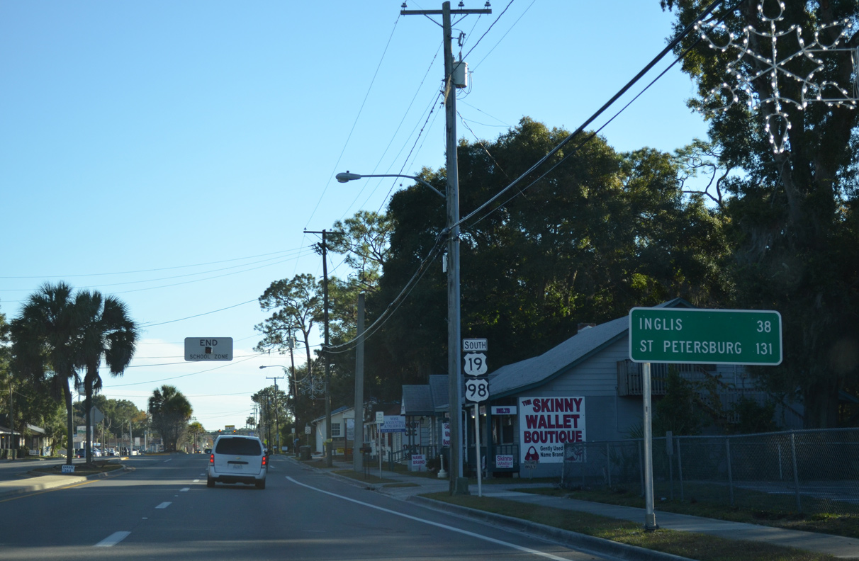
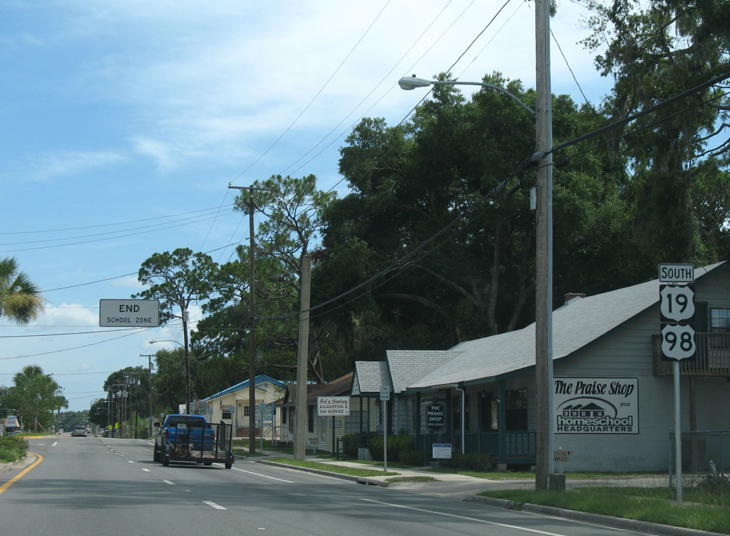
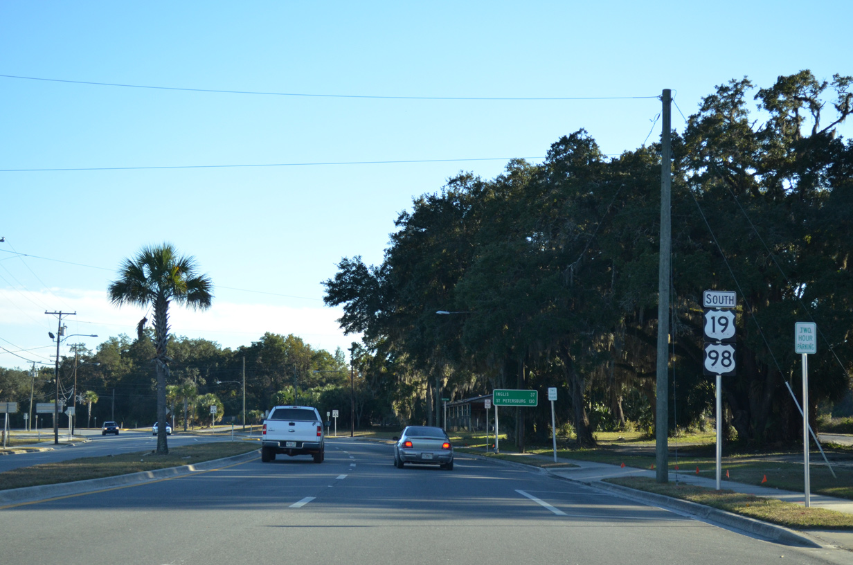
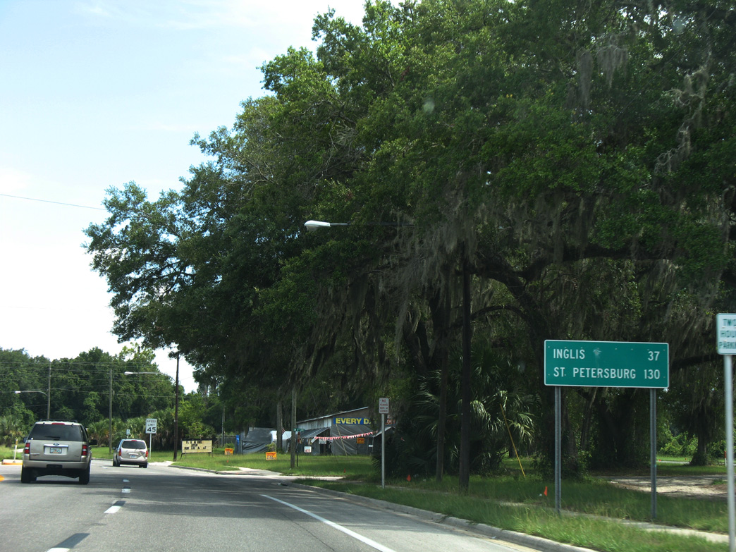
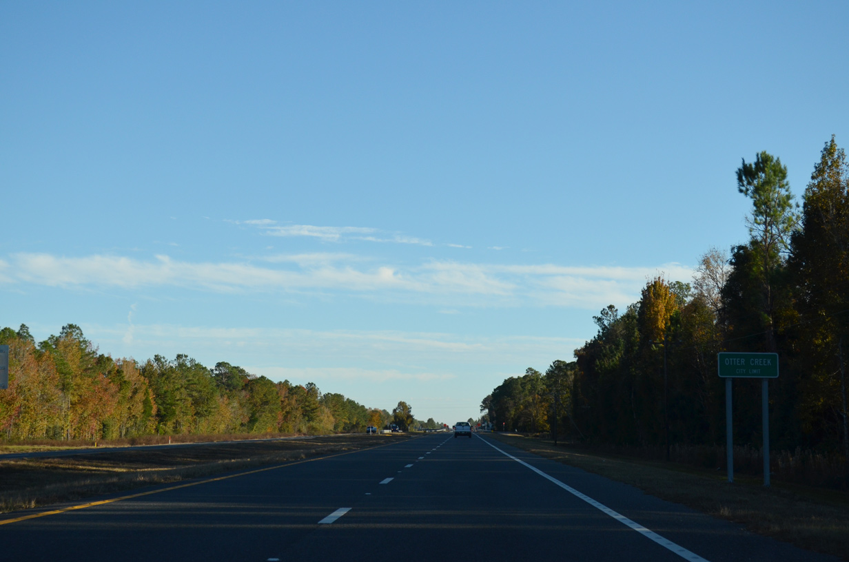
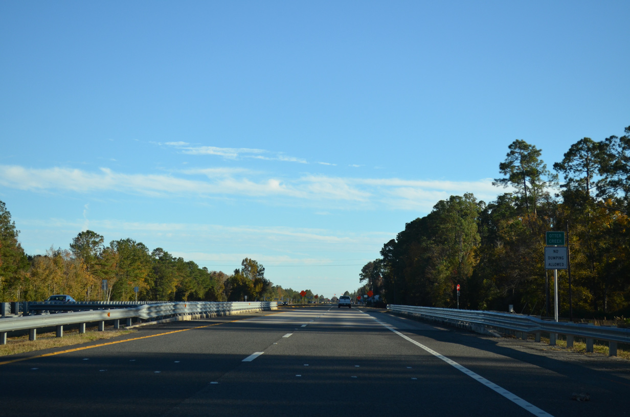
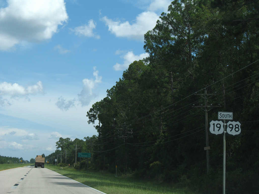
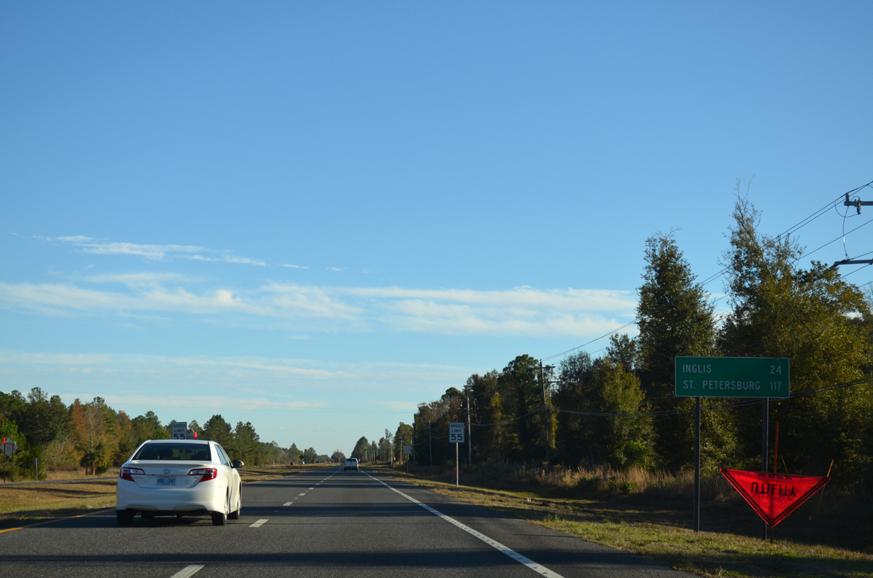
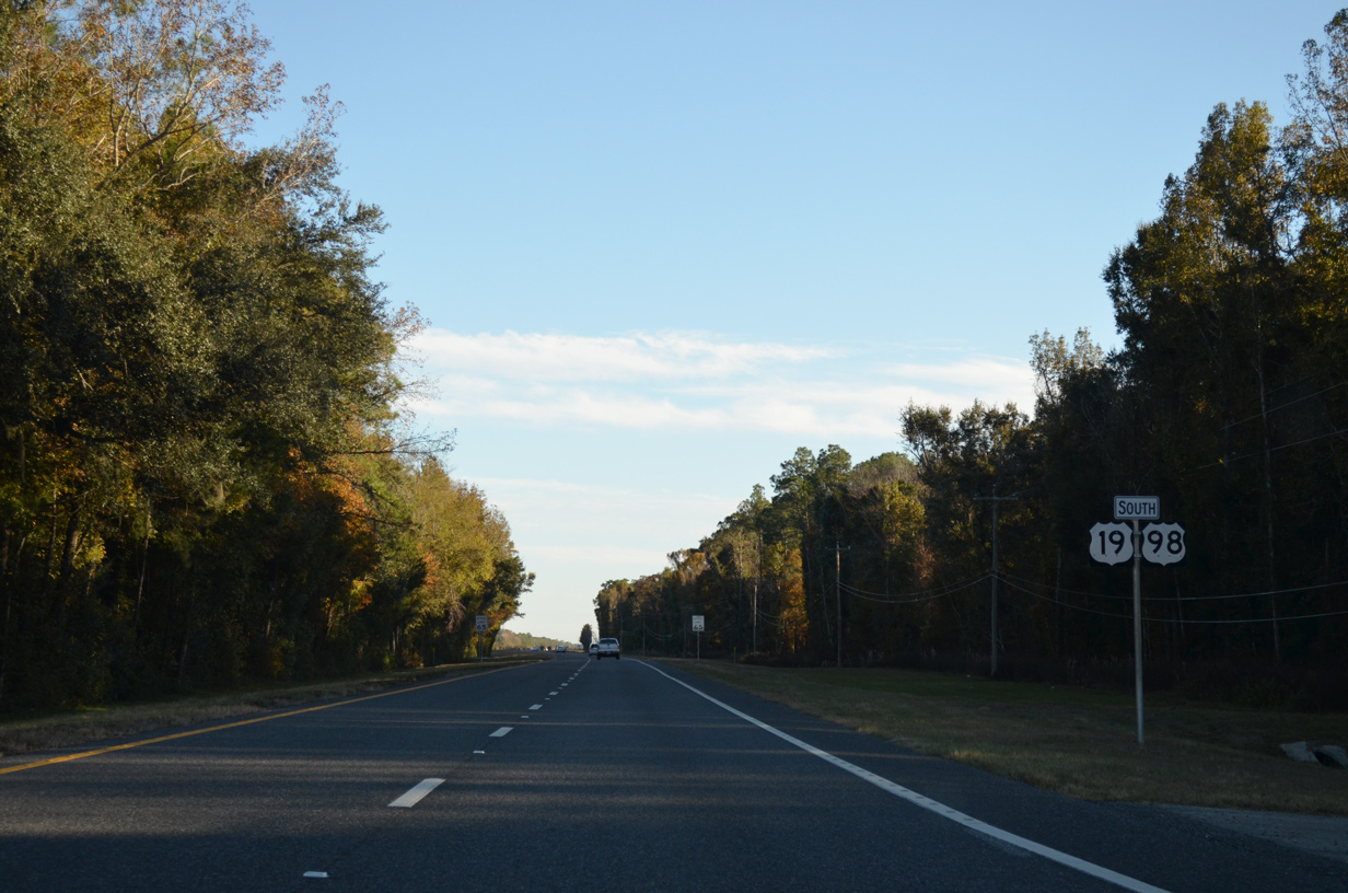
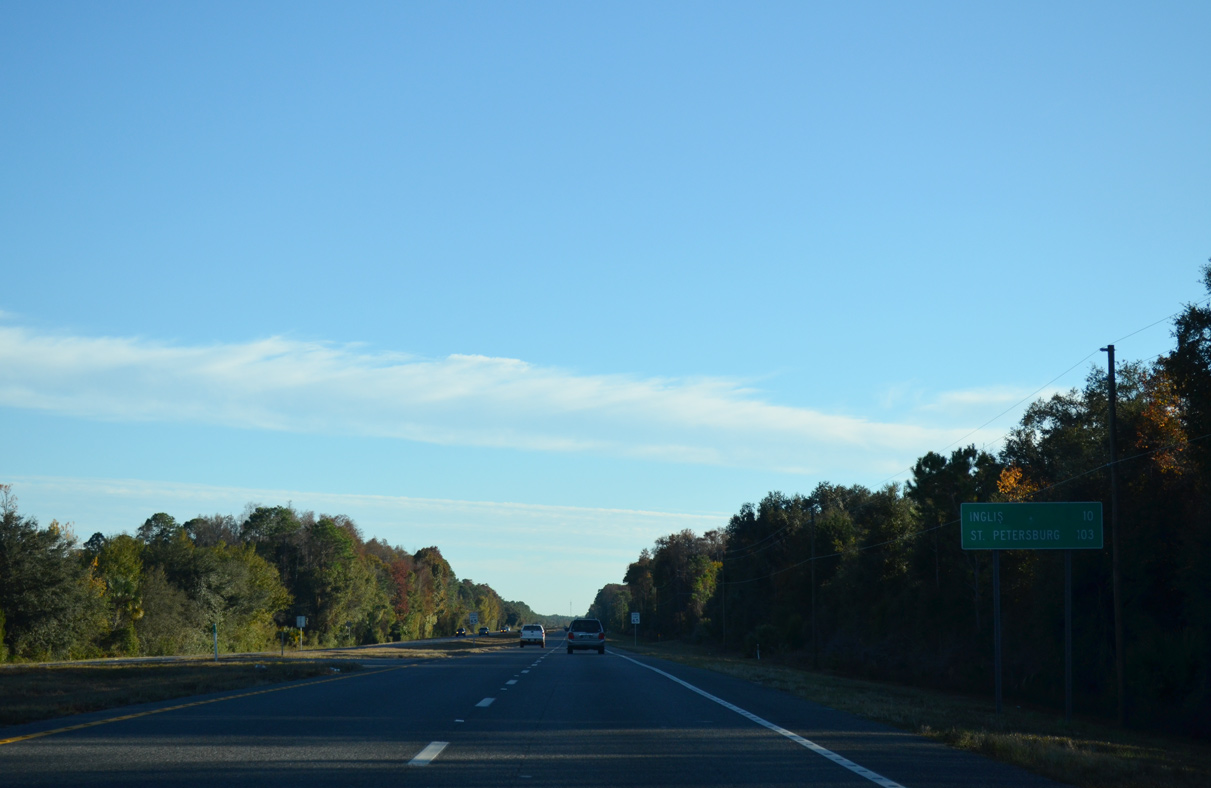
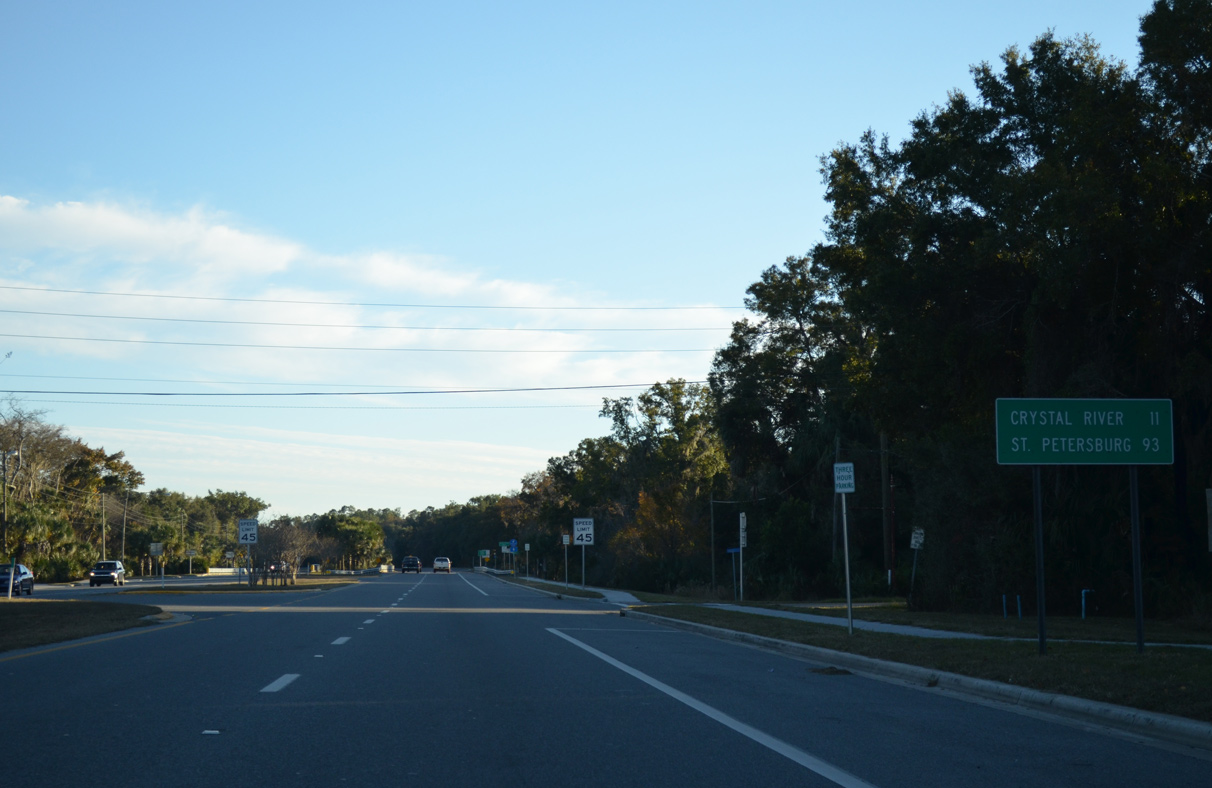
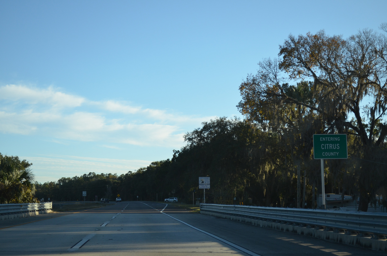
U.S. 19/98 remain paired south 38 miles to Inglis, where they cross into Citrus County.
11/26/14
11/26/14
07/19/07
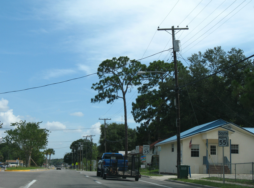
State Road 55, the hidden route for U.S. 19/98, was acknowledged previously beyond the split with U.S. 27 Alternate.
07/19/07
07/19/07
11/26/14
11/26/14
11/26/14
11/26/14
11/26/14
11/26/14
07/19/07
11/26/14
11/26/14

11/26/14
11/26/14
11/26/14
11/26/14
11/26/14
11/26/14
11/26/14
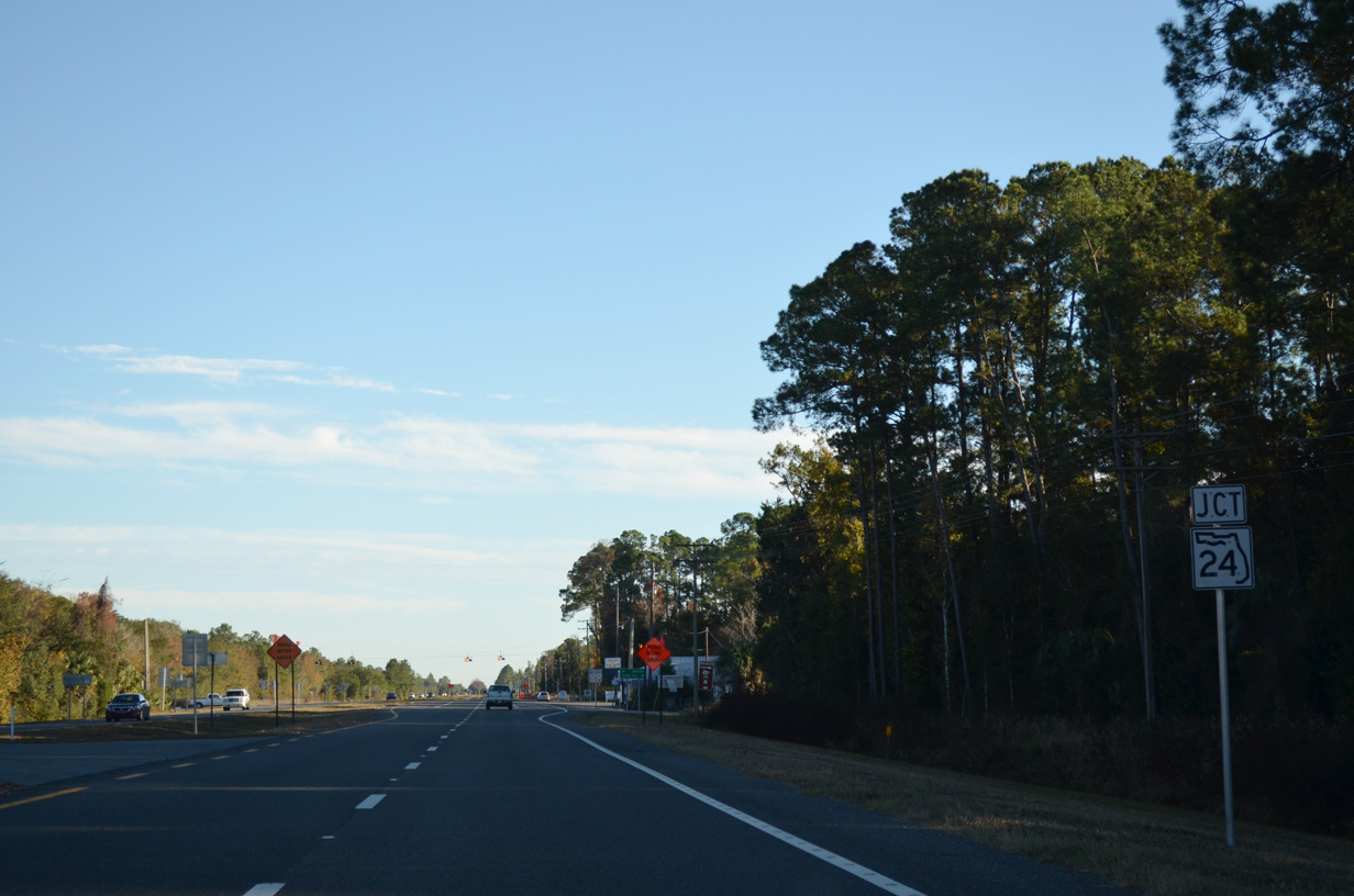
Confirming markers for U.S. 19/98 south of SR 24 were removed by 2011.
07/19/07
07/19/07
11/26/14
11/26/14
11/26/14
11/26/14
07/19/07
11/26/14
11/26/14
11/26/14
11/26/14
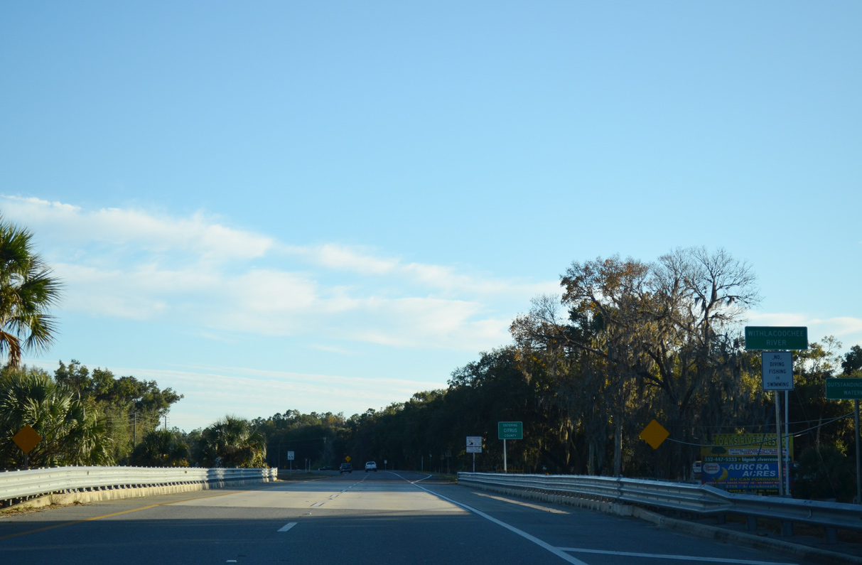
Curving more to the east across Sand Slough, the roadways of U.S. 19/98 separate with a tree lined median.
11/26/14
11/26/14
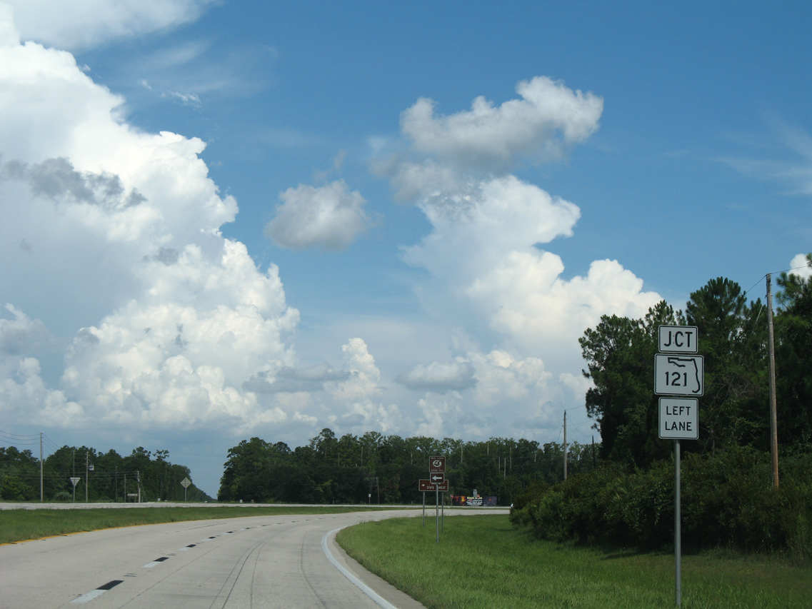
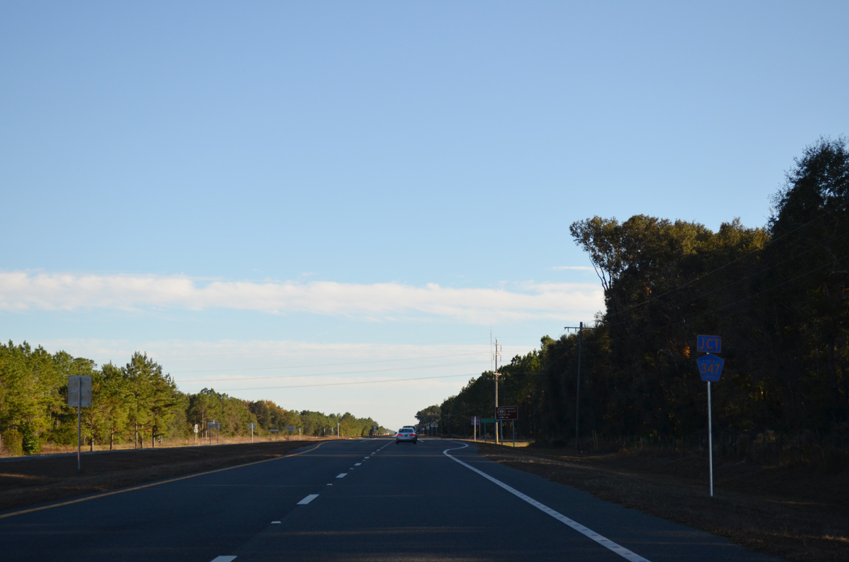
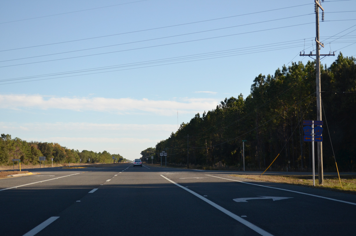
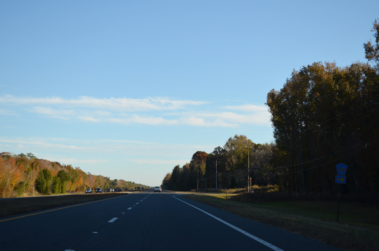
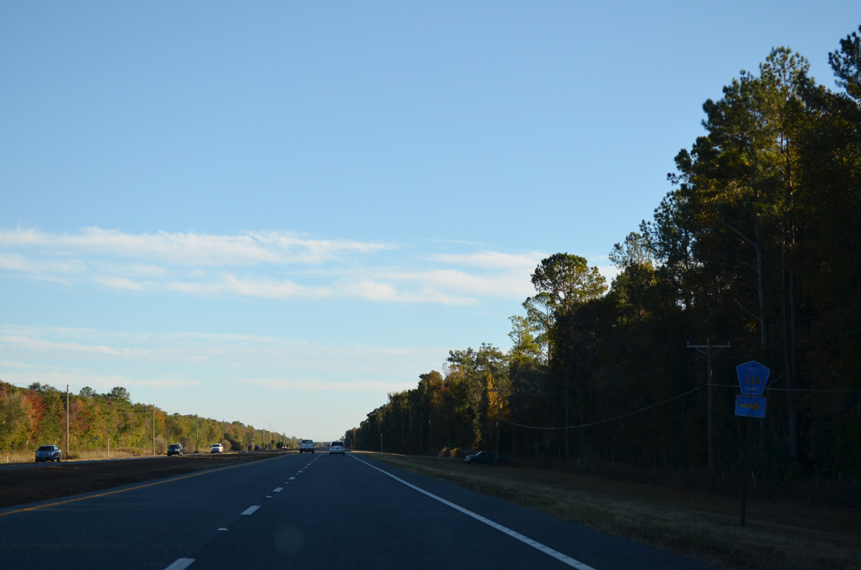
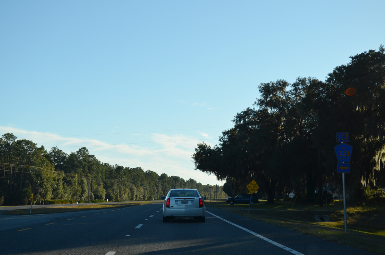
CR 336 branches southeast from U.S. 19/98 at Lebanon Station and the southern terminus of MSR 121.
07/19/07
07/19/07
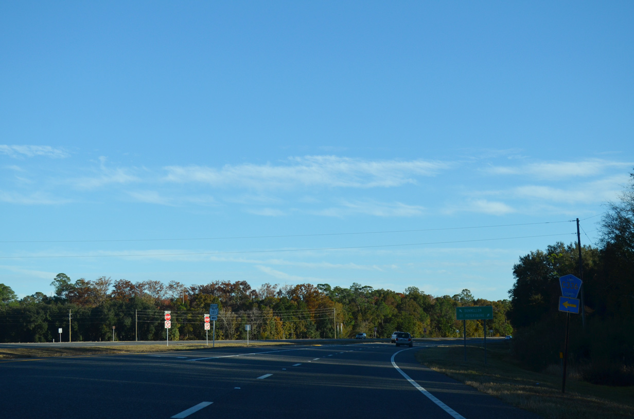
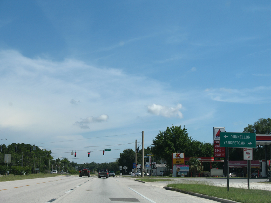
A 10.46 mile route, County Road 336, along with CR 40 east, provides part of a direct route from U.S. 19/98 to Dunnellon.
11/26/14
11/26/14
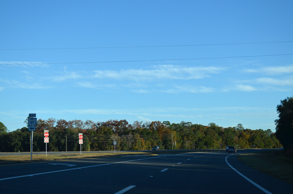
SR 121 leads northeast across Goethe State Forest to Williston.
11/26/14
11/26/14
11/26/14
11/26/14
11/26/14
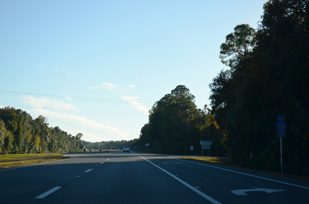
CR 40A stems 3.79 miles west along SE 193rd Place to Crackertown and CR 40 west of Yankeetown.
11/26/14
11/26/14
11/26/14

11/26/14
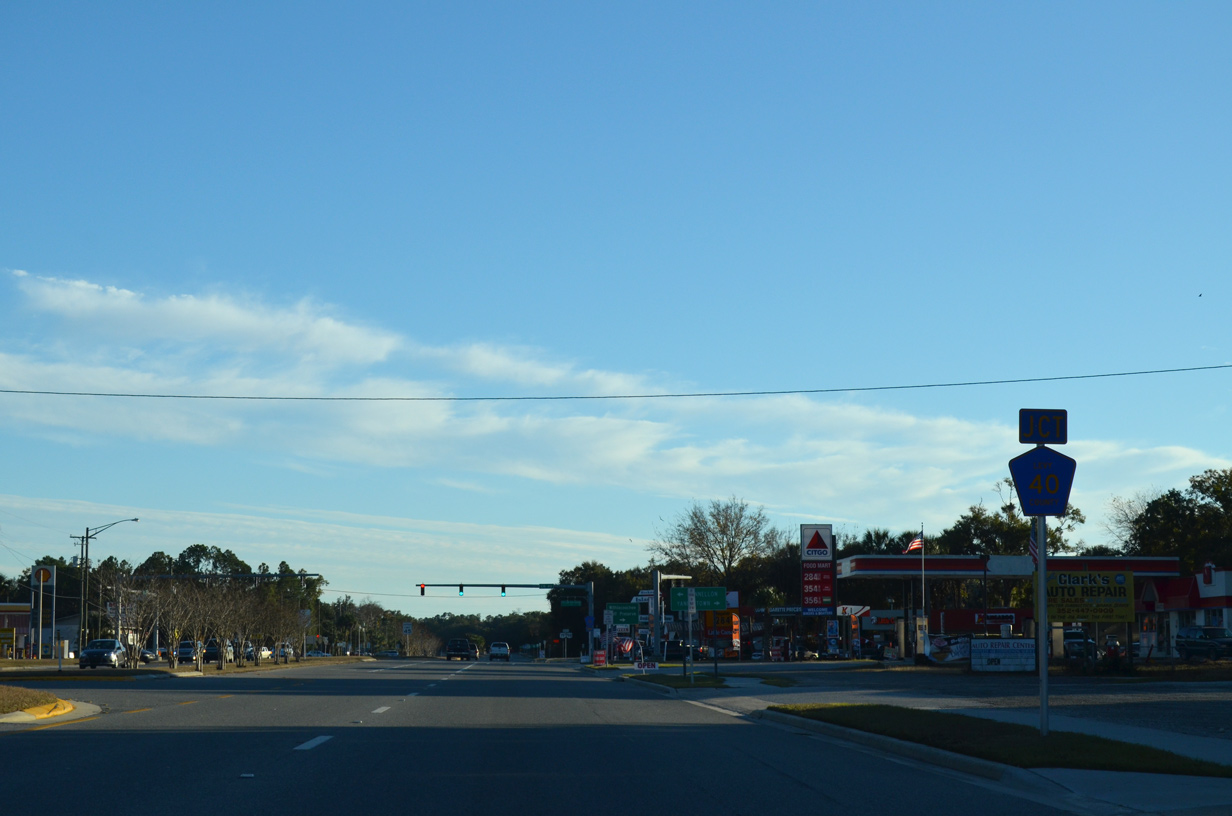
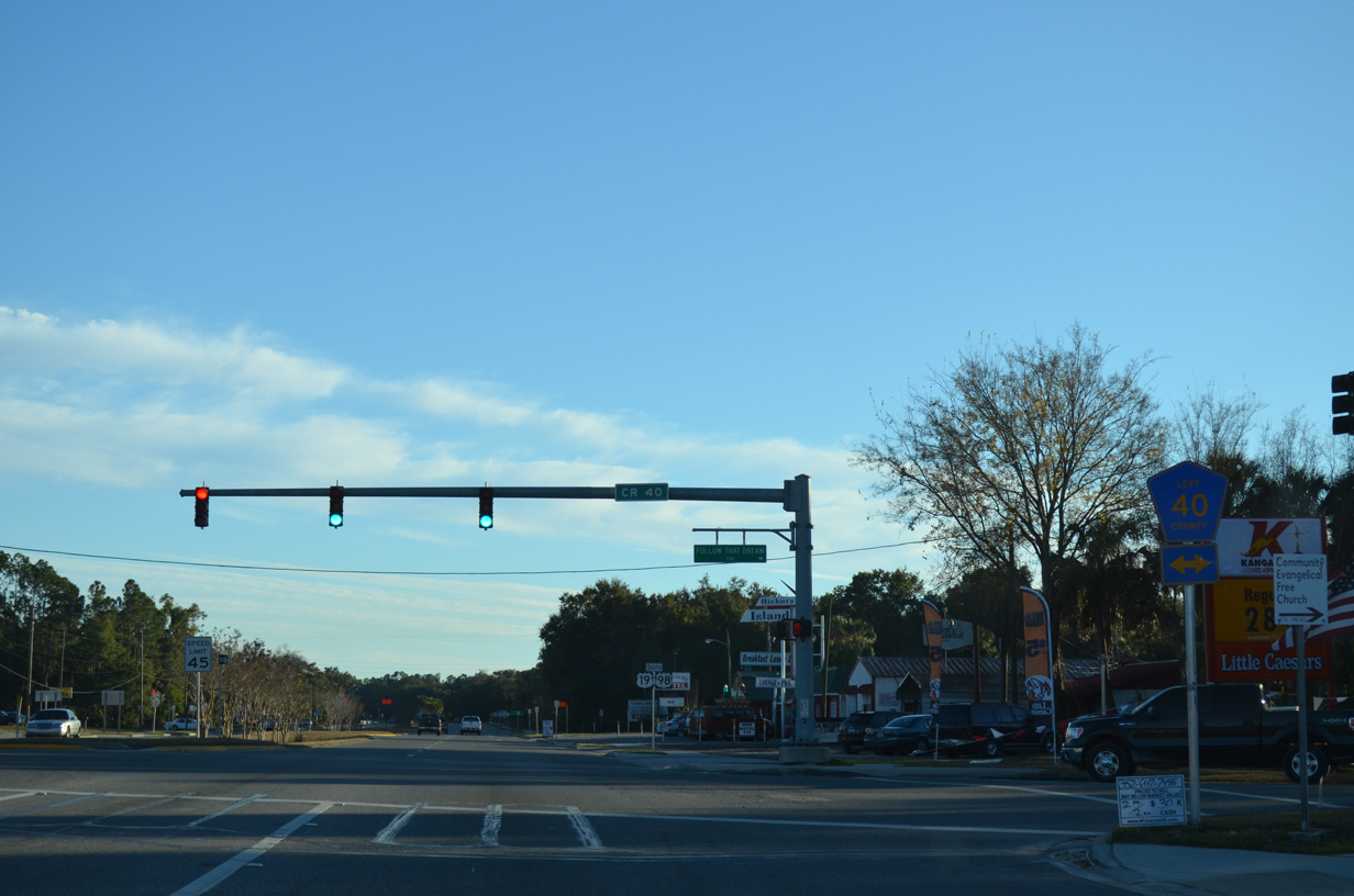
County Road 40 (Follow That Dream Parkway) parallels the Withlacoochee River through Inglis.
11/26/14
11/26/14
Measuring 20.41 miles in length, CR 40 extends west to a boat ramp on Withlacoochee Bay and east to U.S. 41 and CR 484 in Dunnellon.
07/19/07
07/19/07
11/26/14
11/26/14
11/26/14
11/26/14
11/26/14
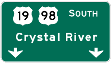

Photo Credits:
- Alex Nitzman: 07/19/07, 11/26/14
Connect with:
Page Updated Tuesday April 28, 2020.