
U.S. 24 East - Huntington & Allen Counties
 East
East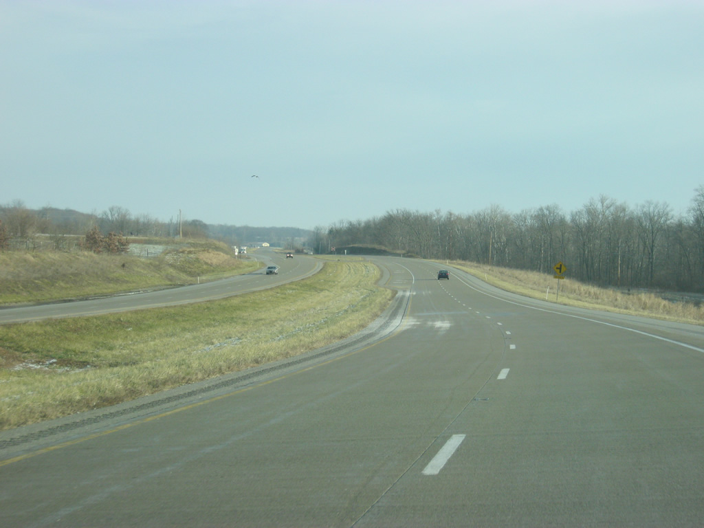
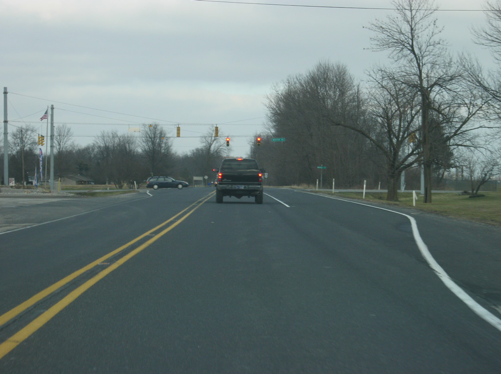
A view of U.S. 24 as it turns toward the northeast as it nears the junction with SR 105 north.
12/26/10
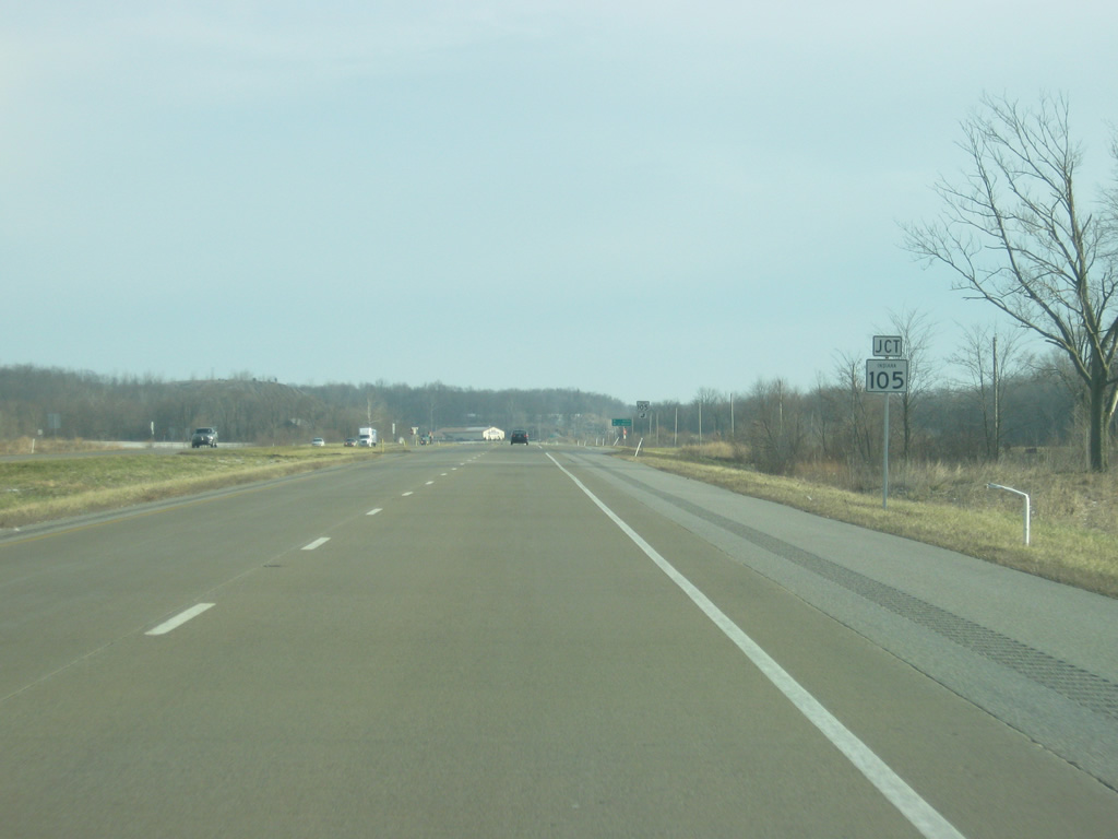
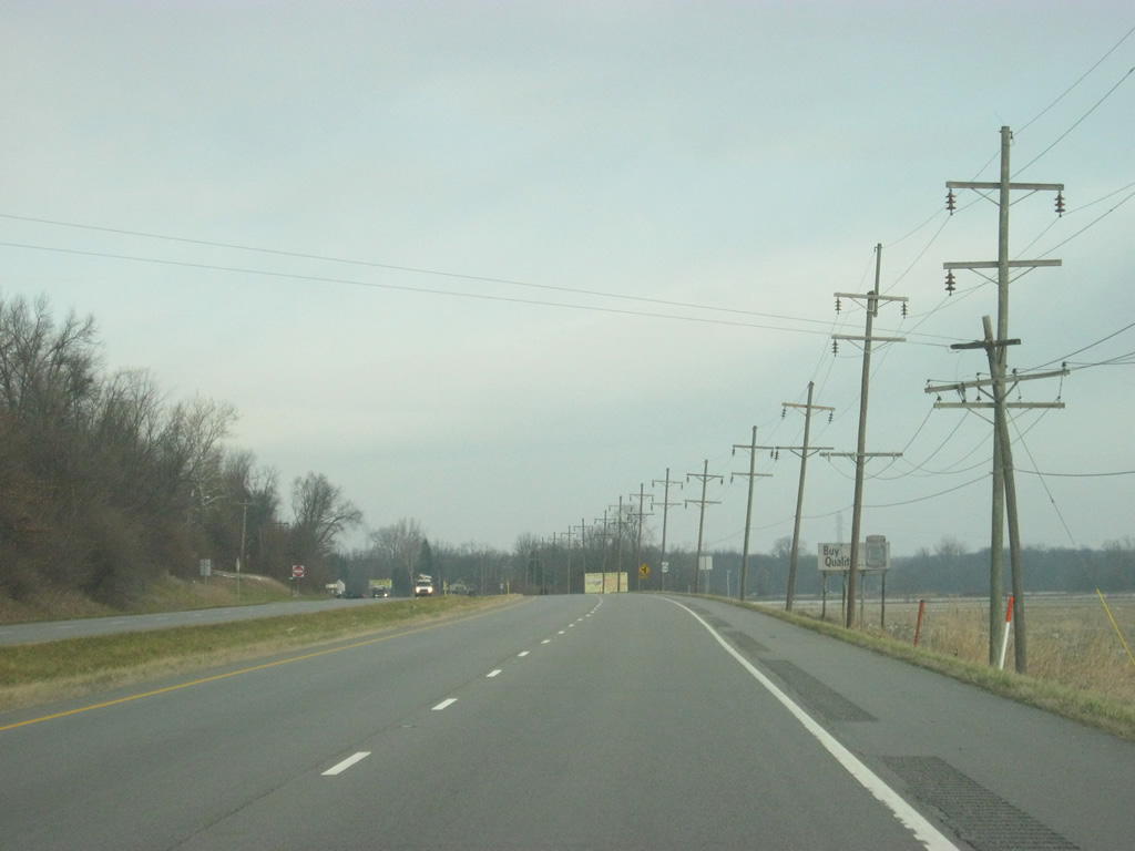
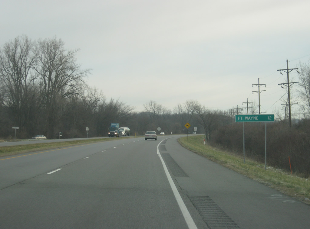
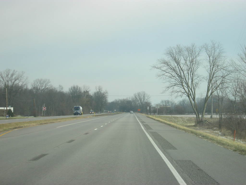
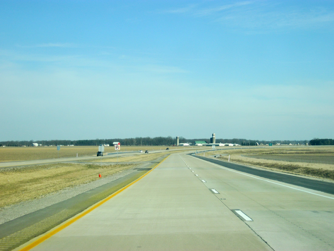
U.S. 24 approaches the intersection with SR 105 north. SR 105 runs for 32 miles from SR 9 north through the town of Andrews to the town of South Whitley and SR 5.
12/26/10
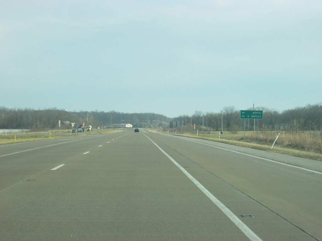
The Huntington County town of Bippus along with the Whitley County community of South Whitley can be reached by taking SR 105 to the north.
12/26/10
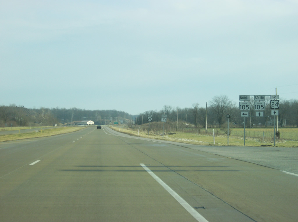
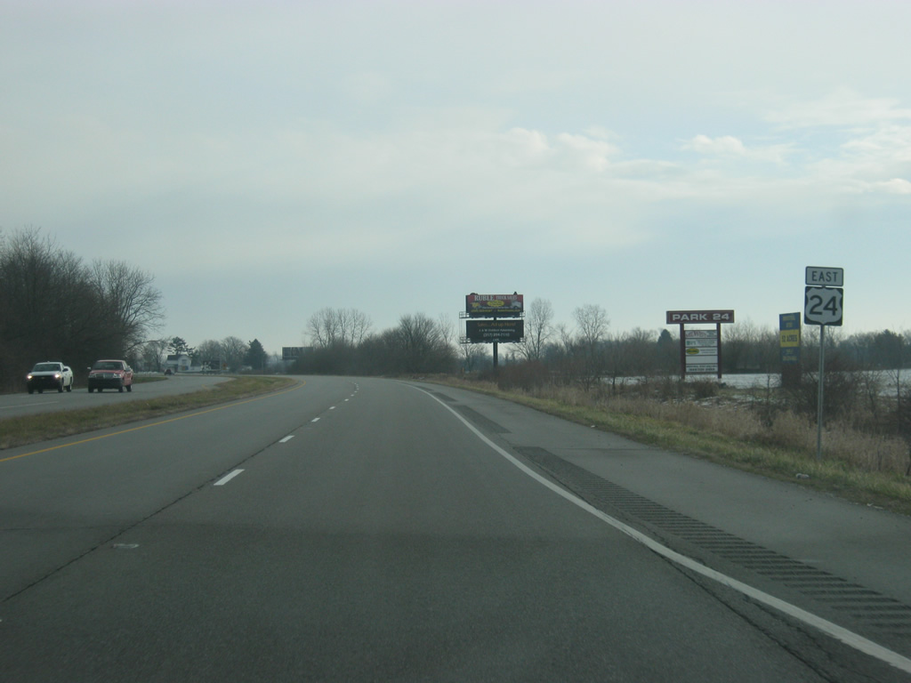
Now at the junction with SR 105 north. SR 105 south will follow U.S. 24 for a one mile multiplex to the east.
12/26/10
East 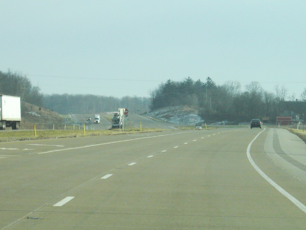
A view of U.S. 24 east/SR 105 south in between the two junctions with SR 105.
12/26/10
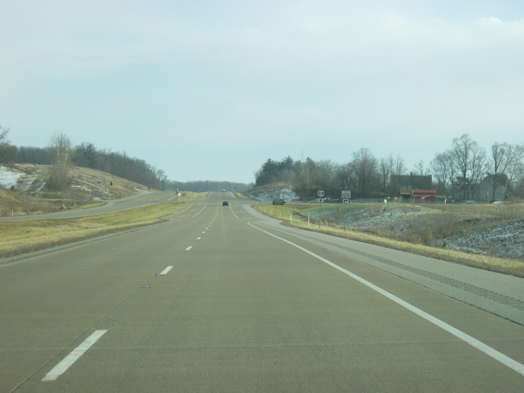
Now nearing the point where SR 105 will continue its journey south.
12/26/10
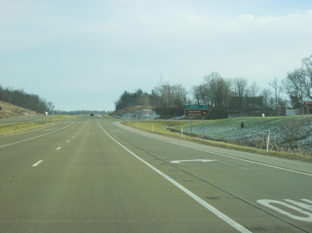
The town of Andrews and Salamonie Reservoir can be reached by taking SR 105 south.
12/26/10
East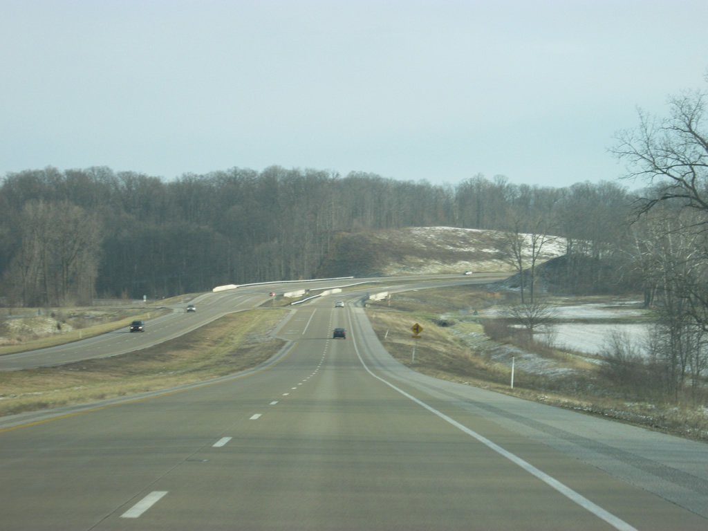
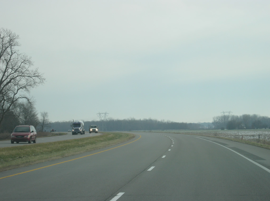
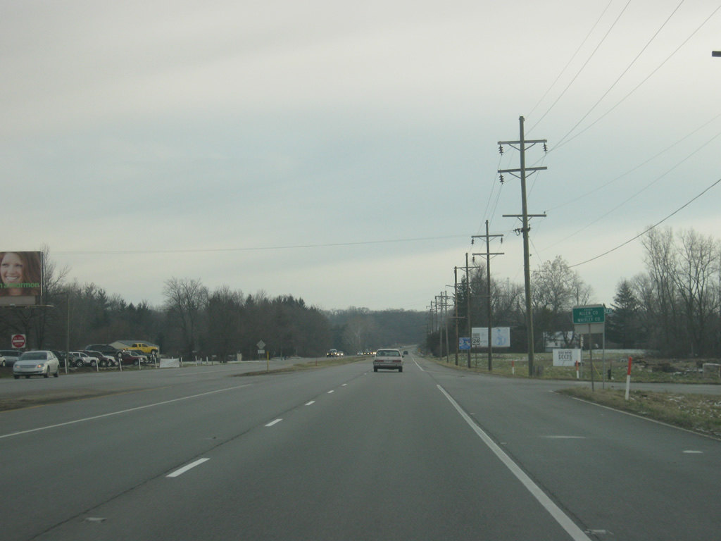
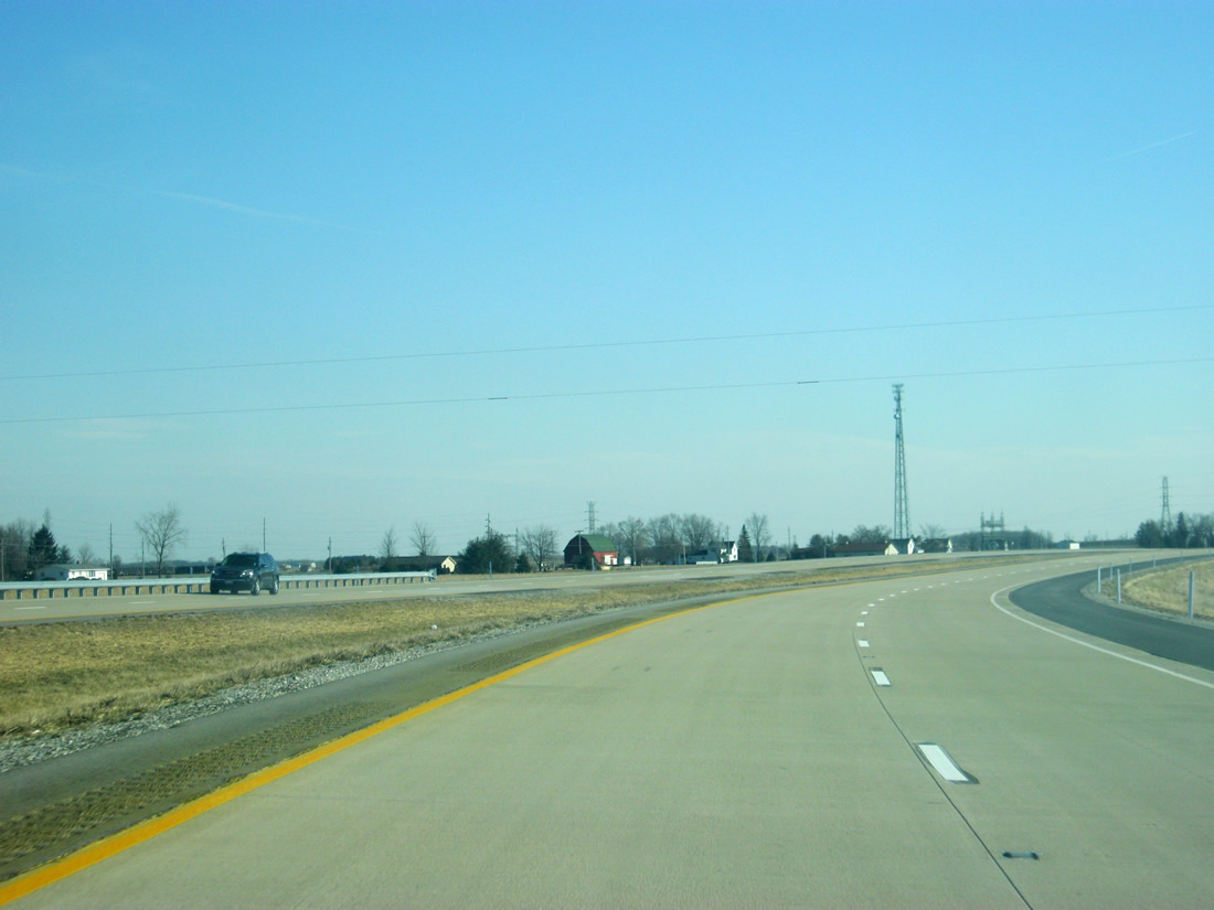
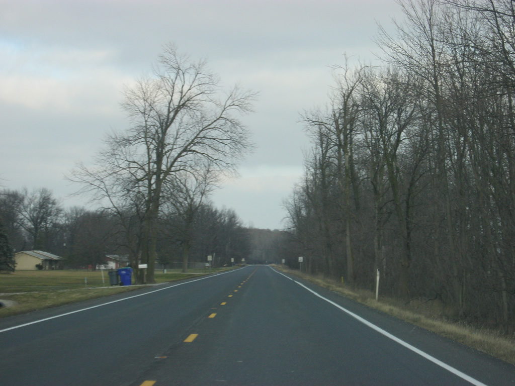
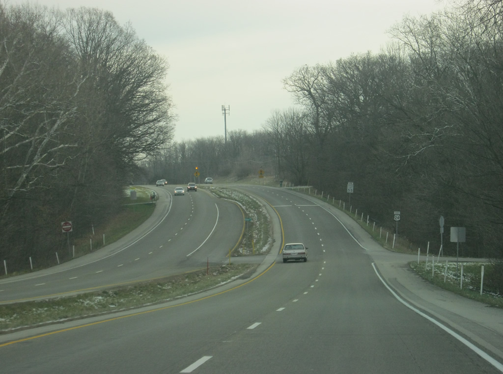
East of the junction with SR 105 south, U.S. 24 continues toward the city of Huntington. As it has since Logansport, U.S. 24 continues to follow the path of the Wabash River, accounting for the various changes in scenery along the highway.
12/26/10
U.S. 24 reaches the outskirts of Huntington and turns northward alongside SR 9 around the city. The original US highway reverts to an undivided highway, sometimes called Business U.S. 24, along Park Drive east of SR 9. SR 9 goes for 196 miles from SR 46 near Columbus northward through Shelbyville, Greenfield, Pendleton, Anderson, Marion, Huntington, Columbia City, Albion and LaGrange before crossing into Michigan near Sturgis, Michigan. The Grant County seat of Marion is about 20 miles to the south.
08/16/09
East 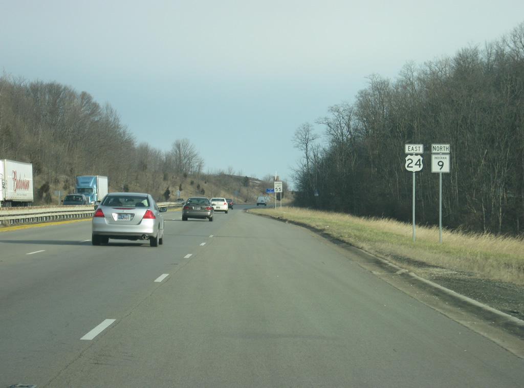
North of the junction with SR 9 south/Park Drive, reassurance shields mark the multiplex with U.S. 24 and SR 9 north. The two highways begin to bypass Huntington in earnest.
12/26/10
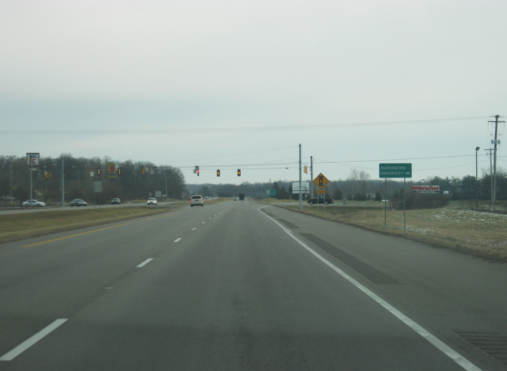
U.S. 24 east/SR 9 north officially enter the city of Huntington (population 17,450). Huntington is home to the Church of the United Brethren in Christ, Huntington University, and in recent years the home to Vice President Dan Quayle. Today, it is also a suburb of the larger Fort Wayne region.
12/26/10
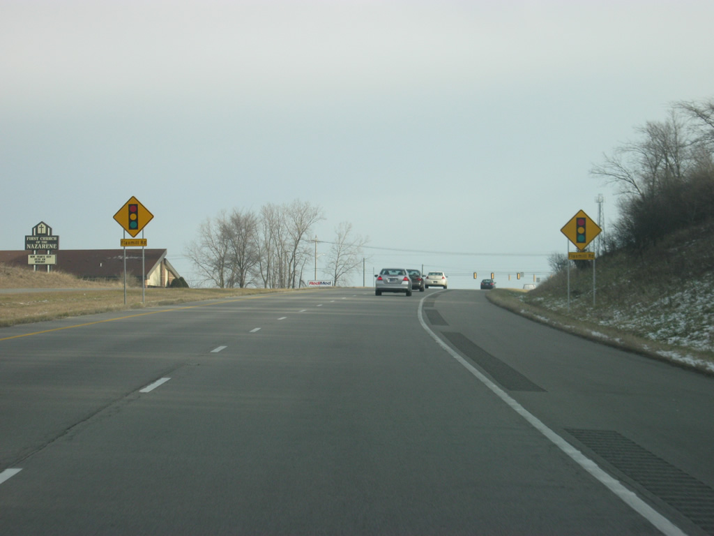
U.S. 24/SR 9 north approaching the intersection with Flaxmill Road.
12/26/10
Now at the intersection with U.S. 24/SR 9 north and Flaxmill Road. Several industrial parks are served via this street to the north of the bypass.
12/26/10
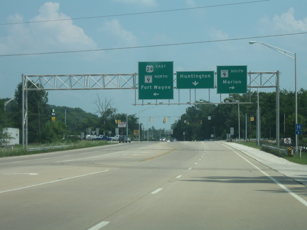
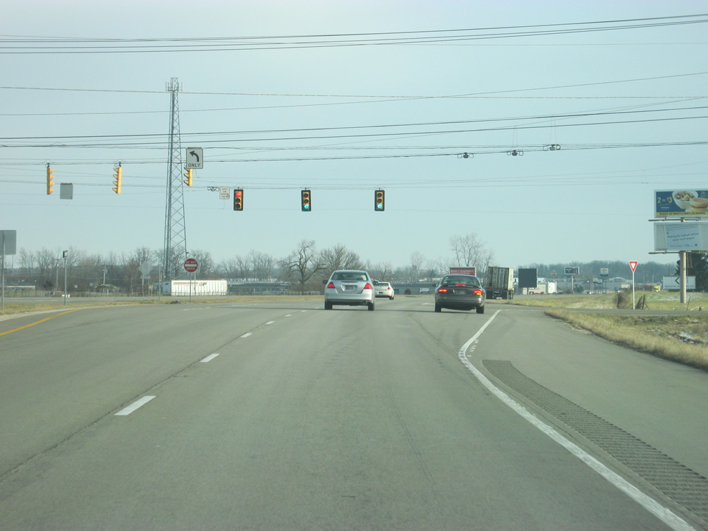
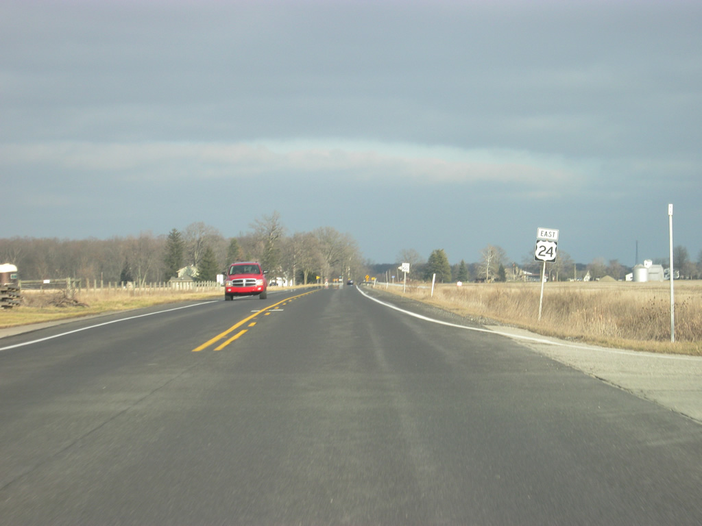
Up ahead is the intersection with U.S. 224 east/SR 5 (Jefferson Street). U.S. 224 goes for 289 miles from this intersection through Huntington and Decatur en route across the state of Ohio to New Castle, Pennsylvania. SR 5 travels for 96 miles from SR 22 in Upland, within Grant County, north through the communities of Warren, Huntington, South Whitley, Ligonier, and Shipshewana, ending north of there at SR 120.
12/26/10
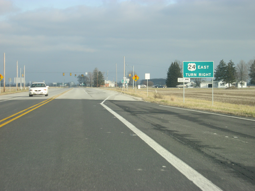
U.S. 24/SR 9 north at the junction with U.S. 224 east/SR 5 (Jefferson Street). The two highways multiplex for three miles before breaking off toward the southeast. Jefferson Street is the primary road across the city of Huntington and aerial maps show that the right of way had been cleared for a potential diamond interchange that was never built. This is still the busiest intersection in Huntington however.
12/28/11
East of the junction with U.S. 224 east/SR 5, the next stoplight is with Guilford Street, which provides access to Huntington University.
12/26/10
East of the Guilford Street intersection, we approach the split between U.S. 24 and SR 9 north. The diamond interchange between the two highways is one mile away.
12/26/10
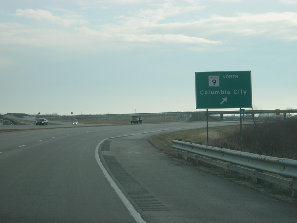
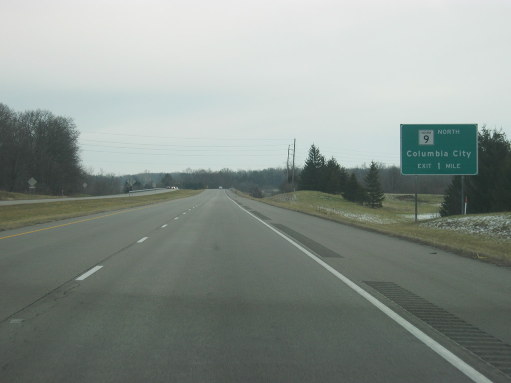
On the north side of Huntington, SR 9 exits off en route to Columbia City (which is 19 miles up the road). Mishler Pike follows the older routing of SR 9 to the south back toward Huntington.
12/26/10
East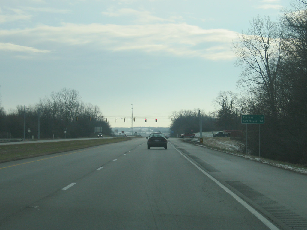
Approaching the junction with Broadway/County Road 100 West, the town of Roanoke is next along U.S. 24 at eight miles out while Fort Wayne is 24 miles up the highway.
12/26/10
We continue east past the junction with Old U.S. 24 which has a directional interchange with U.S. 24 from the east into the city of Huntington. From there, U.S. 24 turns toward the northeast as it heads in the direction of Fort Wayne.
12/26/10
The seven mile trip along U.S. 24 from Old U.S. 24 to the town of Roanoke follows the path of the Little Wabash River, which forks off of the larger Wabash River in Huntington. The highway also gets a bit heavier in traffic, since it serves as the main commuter corridor between Huntington and Fort Wayne. With traffic counts between 12,000 and 16,000 vehicles per day, the stretch of U.S. 24 from Huntington to Fort Wayne is the busiest along the highway in Indiana.
12/26/10
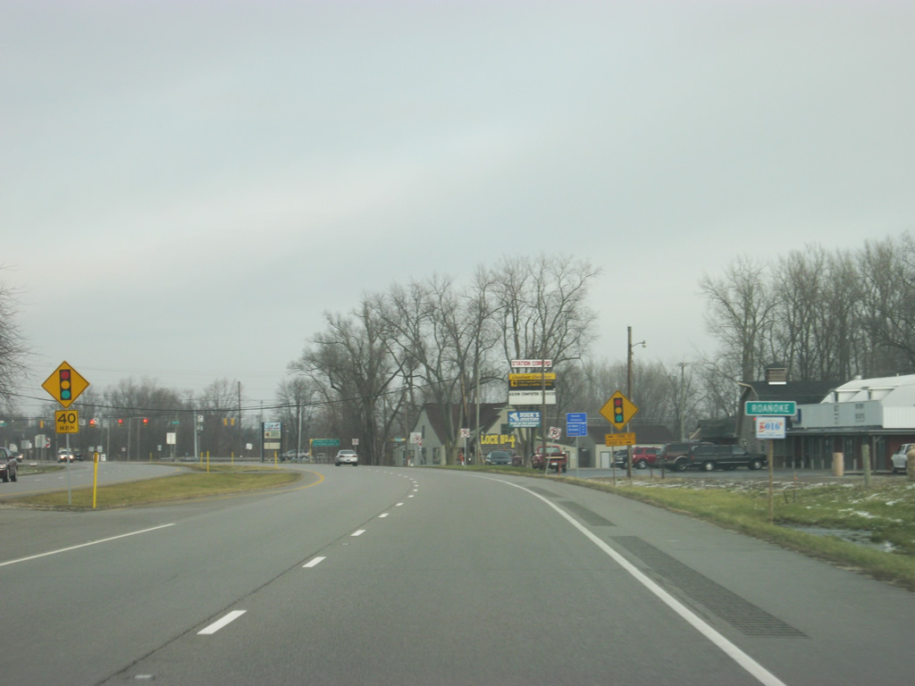
U.S. 24 slows down as it enters the town of Roanoke.
12/26/10
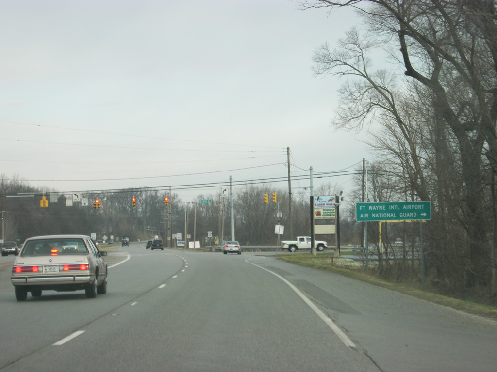
In Roanoke, U.S. 24 arrives at the intersection with County Road 900 North. To the east, this road transitions into Lafayette Center Road which becomes the Fort Wayne beltway of Interstate 469 at the interchange with Interstate 69. For that reason, some commuters may opt to use this road to get to the interstate en route to Fort Wayne. Both the Fort Wayne International Airport (FWA) and Air National Guard can be accessed by taking County Road 900 North to the east.
12/26/10
A view of U.S. 24 as it leaves the town of Roanoke; Fort Wayne is now the next community along the highway.
12/26/10
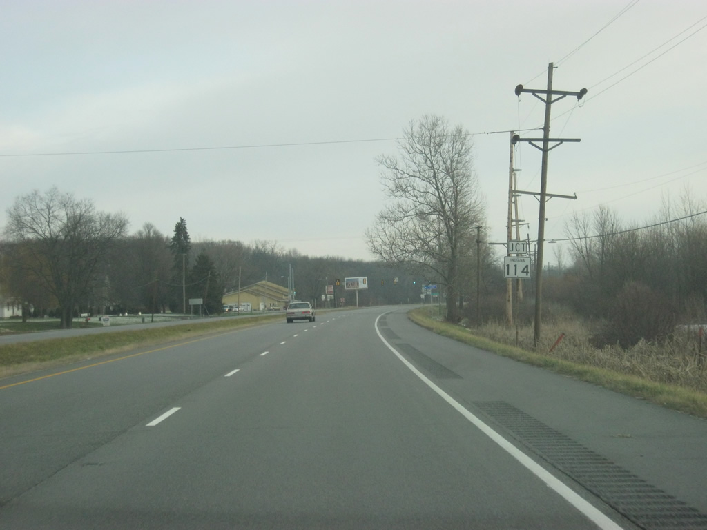
Nearing the intersection with SR 114 west. SR 114 exists in three segments across Northern Indiana.
12/26/10
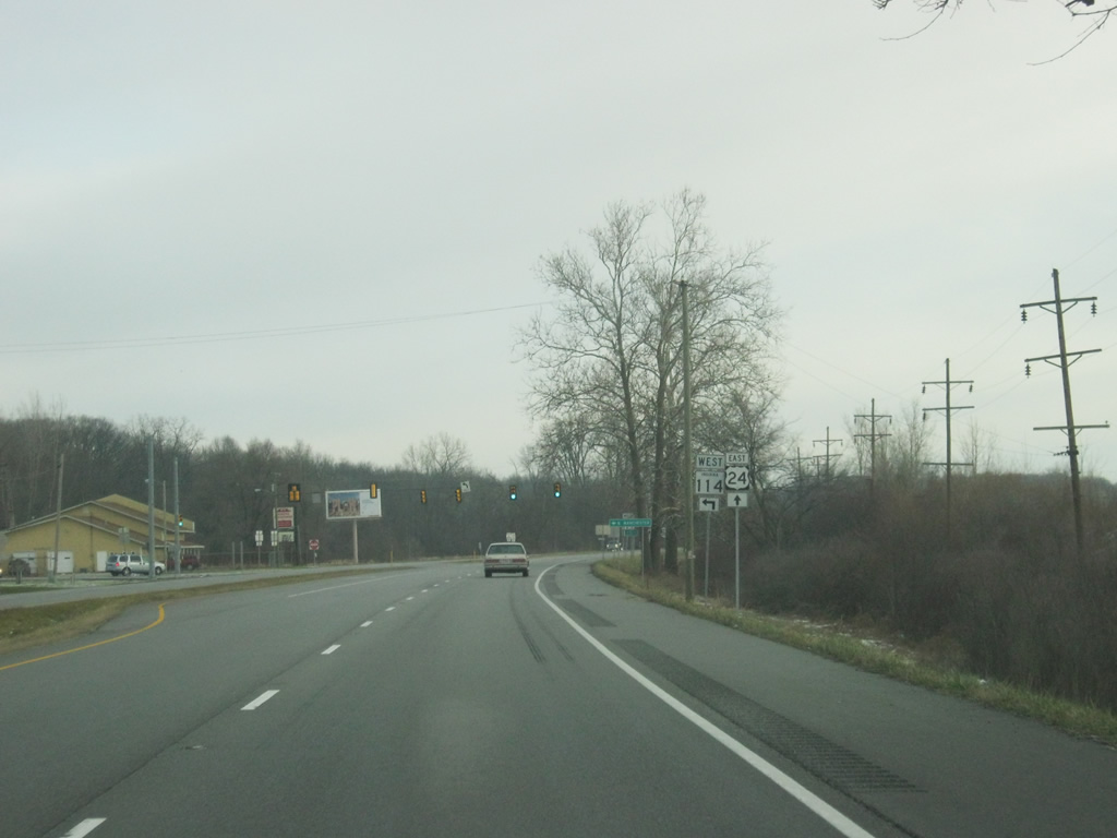
U.S. 24 meets the eastern segment of SR 114, which goes to the west through the town of North Manchester to its western terminus at SR 14 in Akron.
12/26/10
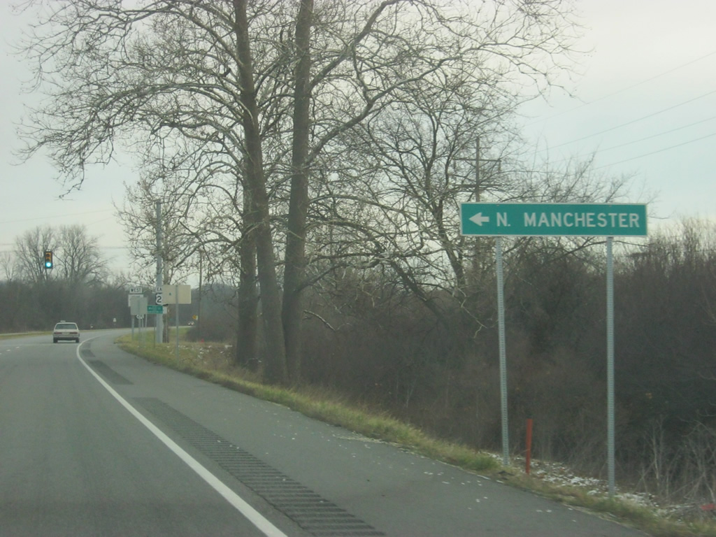
The Wabash County town of North Manchester is about 22 miles from U.S. 24. After passing the intersection with SR 114 west, U.S. 24 briefly enters the far southeastern corner of Whitley County.
12/26/10
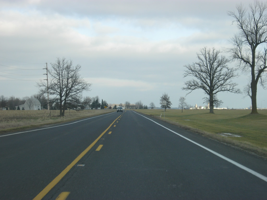
East of the intersection with SR 114 west, Fort Wayne is the lone control city along U.S. 24, now only 12 miles away. Of course, that is the distance to Downtown Fort Wayne; the suburban edges of the city are only a few miles away.
12/26/10
After only a half mile in Whitley County, U.S. 24 enters its final Indiana county, Allen County (population 355,329). Allen County, the home of Fort Wayne, is the largest county in area in Indiana and the state's third most populous county.
12/26/10
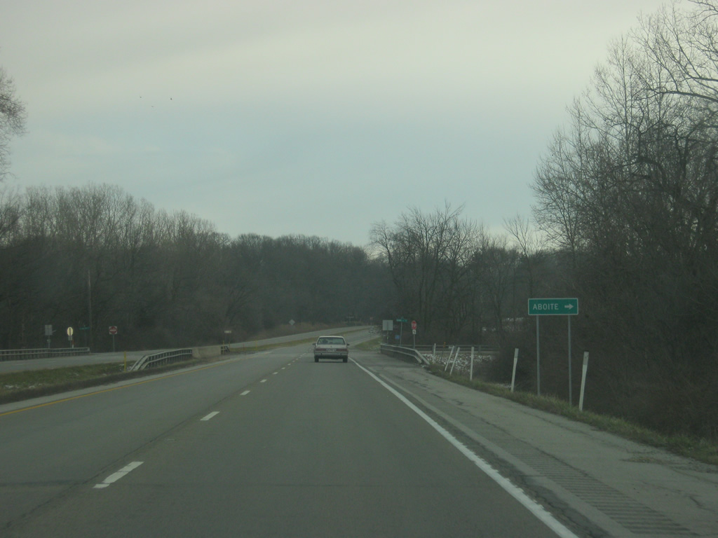
U.S. 24 spans Aboite Creek and intersects Hamilton Road, which leads to the north to SR 14 (Illinois Road). Southward, Hamilton Road becomes Aboite Road, which heads south to the town of Aboite.
12/26/10
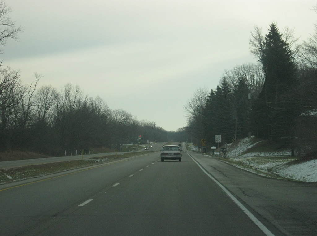
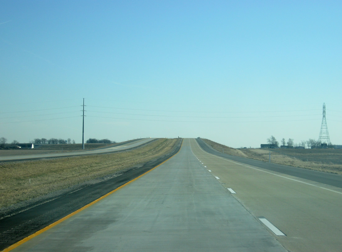
Only six miles separate the county line from Interstate 69 as U.S. 24 heads to the northeast toward the interstate. U.S. 24 goes through the southwestern suburbs of Fort Wayne, which are the most affluent in the region. Due to the Little Wabash River's floodplain being south of U.S. 24, most of the suburban development is based to the north of the highway. Despite going through the growing suburbs of the southwest side of Fort Wayne, the highway maintains a rural appearance.
12/26/10
Now at the one mile approach to Interstate 69/U.S. 33, U.S. 24 enters the city of Fort Wayne (population 253,691). Recent annexations have pushed the boundaries of the Summit City southwest across Interstate 69/U.S. 33 to incorporate much of the suburban growth to the southwest. Fort Wayne is the business and services hub of Northeast Indiana, along with parts of Northwest Ohio and Southern Michigan and has been for years the second largest city in the state. Fort Wayne is the largest city U.S. 24 goes through in between Peoria, Illinois and Toledo, Ohio.
12/26/10
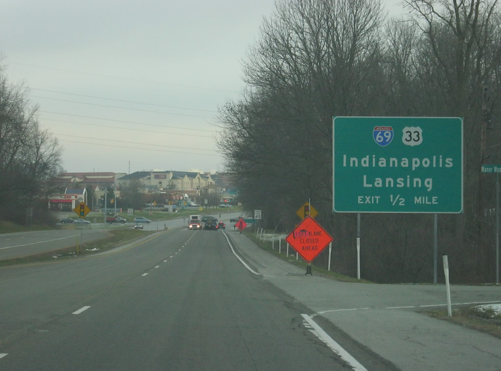
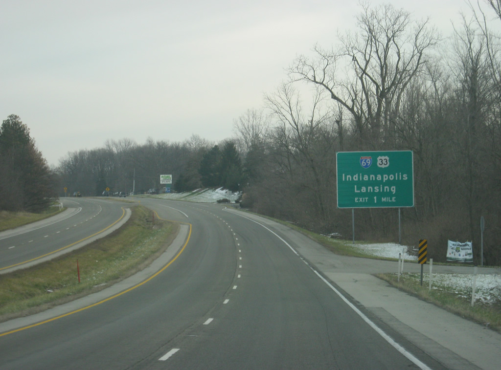
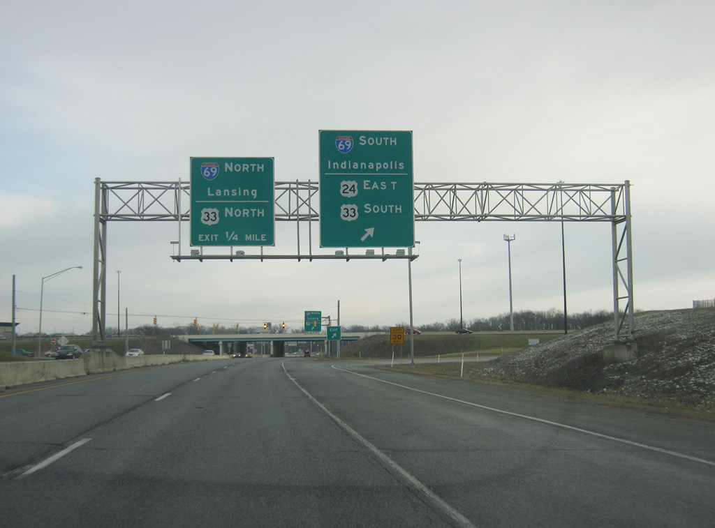
U.S. 24 enters a commercialized zone surrounding the interchange with Interstate 69/U.S. 33. The capital cities of both Indiana (Indianapolis) and Michigan (Lansing) can be reached by taking Interstate 69, which travels for 358 miles from Interstate 465 in Indianapolis north through Fort Wayne and past Angola, Lansing and Flint before ending at the Blue Water Bridge in Port Huron, Michigan at the Canadian border. In Indiana, the highway is currently 157 miles in length but will be extended to go for about 330 miles from Evansville in the far southwest, north to Indianapolis. Eventually, the highway will be extended south to the Mexican border in Texas.
12/26/10
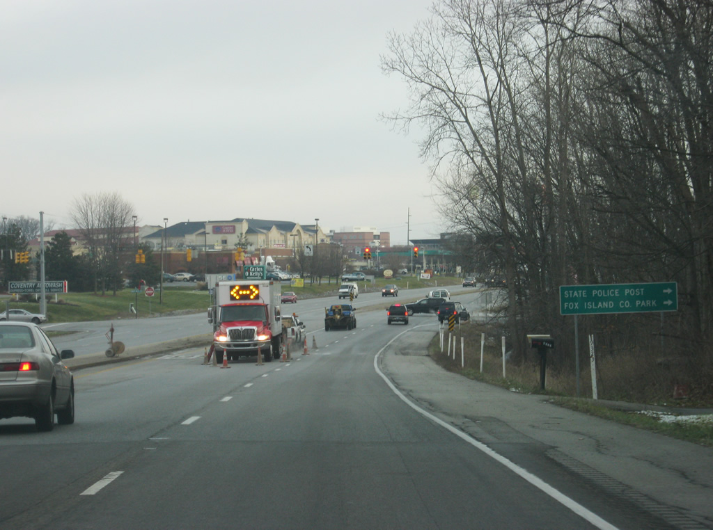
Entering the intersection with Liberty Mills Road, which to the east feeds into Ellison Road. That road heads south to connect with the Indiana State Police Post serving Northeast Indiana and the Fox Island County Park.
12/26/10
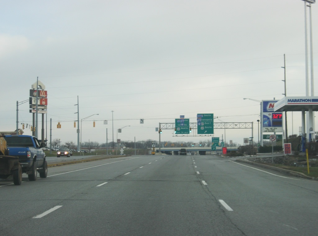
U.S. 24 expands to six lanes briefly as we approach the junction with Interstate 69/U.S. 33. U.S. 33 travels for 94.75 miles across Indiana from Elkhart to the northwest through Fort Wayne and Decatur. The highway forms the main highway between the Fort Wayne and Michiana (South Bend, Mishawaka, and Elkhart) areas. Nationally, the highway goes for 709 miles from Elkhart to Richmond, Virginia. The traffic lights in the foregrown reside at the intersection with Coventry Lane and Ellison Road, which contains several businesses that serve interstate travelers.
12/26/10
Here, U.S. 24 turns off to the south to follow Interstate 69 and U.S. 33 southbound as part of a southerly bypass of Fort Wayne. As with many highways that go through major cities in Indiana, U.S. 24 (along with U.S. 30 and U.S. 33) are bypassed along Interstates 69 and 469. Because of the direction of Interstate 69, U.S. 24 will travel to the southwest for a few miles to Interstate 469 before it begins its 21 mile trek along the beltway to meet with the current U.S. 24 in New Haven. The loop ramp beyond here serves Interstate 69 and U.S. 33 northbound traffic.
East of I-69, the former U.S. 24 follows Jefferson Boulevard toward Downtown Fort Wayne.
12/26/10
East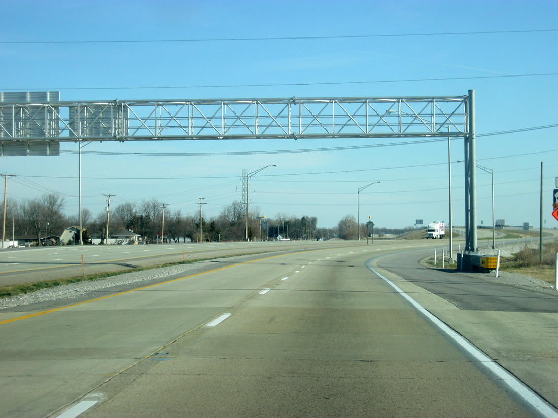
The new U.S. 24 freeway begins at the current interchange with Interstate 469 & U.S. 30 to the northeast of New Haven. Currently, this is the only part of the freeway in Indiana that consists of an at-grade intersection, but future plans call for a free-flowing interchange between U.S. 24 and Interstate 469, but no timetable is set on its construction.
01/18/13
East of the interchange with Interstate 469 & U.S. 30, U.S. 24 becomes a full-fledge freeway with 65 mile per hour speed limit. The stretch of U.S. 24 from Interstate 469 & U.S. 30 and SR 101 officially opened on November 14, 2012. The first of three interchanges within eastern Allen County approach with Bruick Road in one mile.
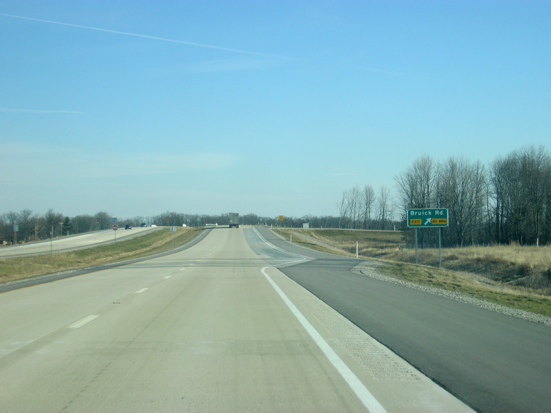
01/18/13
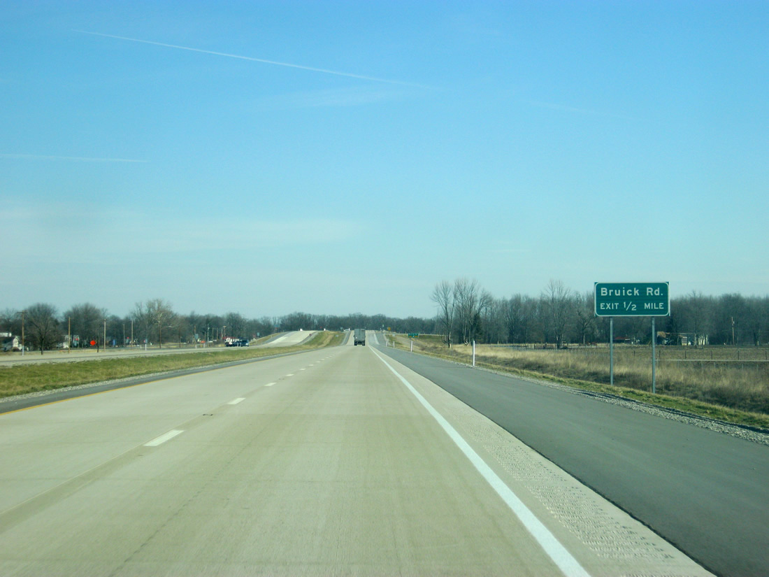
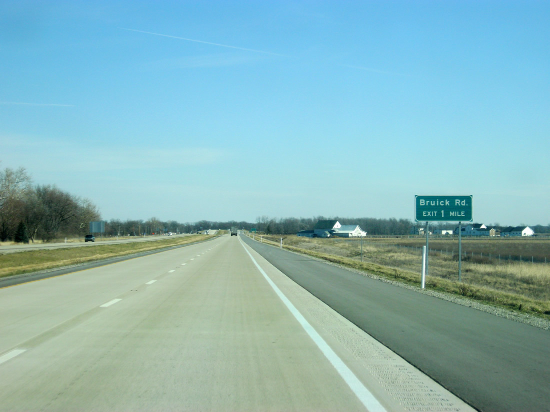
Bruick Road approaches in a half mile. Bruick Road runs from SR 37 to the north down past the U.S. 30 expressway to the south. Originally, plans called for the Bruick Road crossing to be an at-grade intersection, but public pressure ensued that the entire highway from Interstate 469 to the Ohio state line would be grade-separated.
01/18/13
The off ramp and on ramp from eastbound U.S. 24 to Bruick Road occupy the southwest corner of the interchange between the two roads. Westbound U.S. 24 to Bruick Road movements utilize the adjacent former U.S. 24, which follows the new freeway for the first few miles to the immediate north.
01/18/13
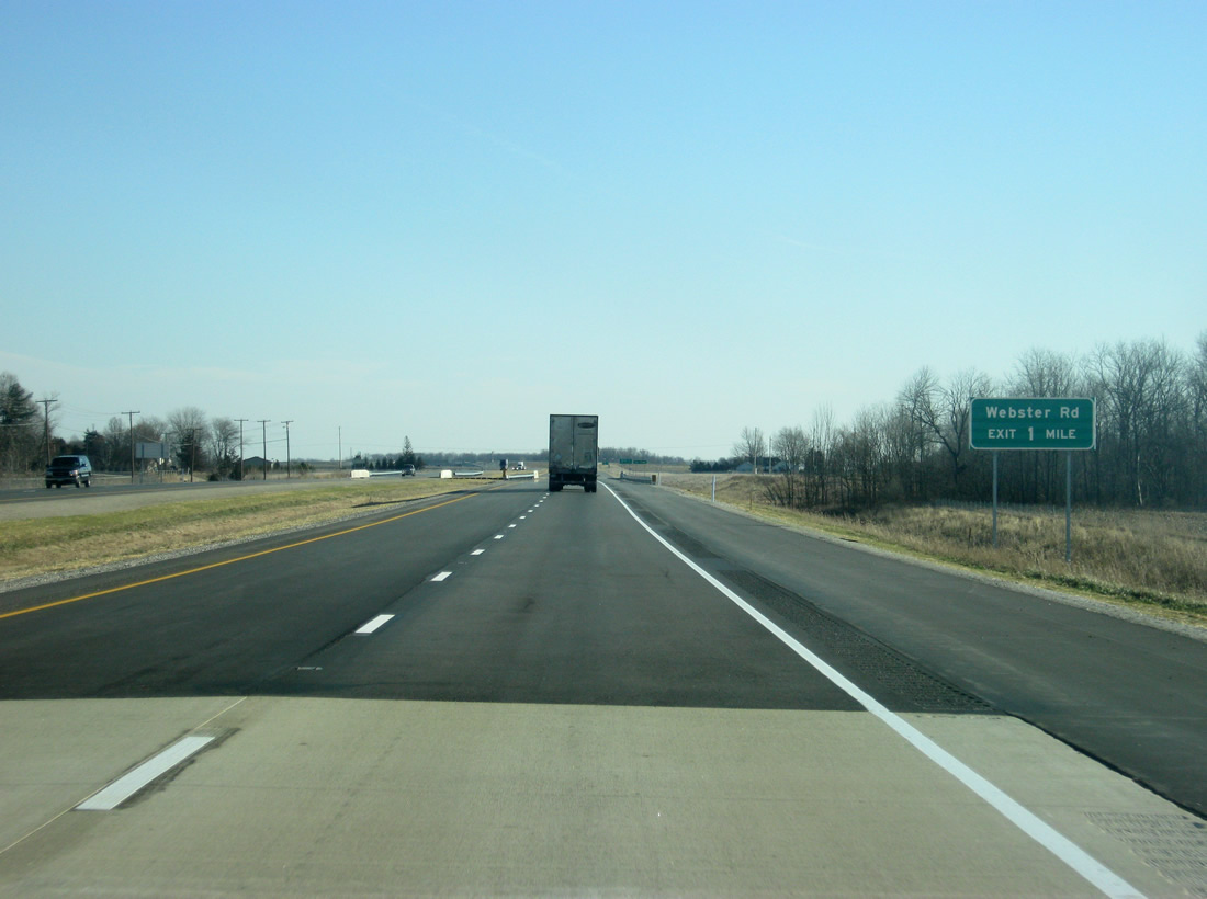
East of the Bruick Road interchange, the pavement changes from concrete to asphalt at the one mile approach to the Webster Road interchange. This section of U.S. 24 is paved with asphalt and is noted for having said asphalt fail in 2011, leading to a complete rebuild in 2012 leading up to the highway's opening.
01/18/13
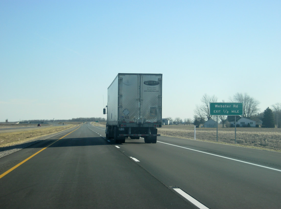
Webster Road stretches from Old U.S. 24 to the north, south toward the U.S. 30 expressway. The road was realigned to the north of U.S. 24 in connection with the Fort-to-Port project to avoid two 90-degree turns before Old U.S. 24.
01/18/13
Eastbound motorists bound for Webster Road exit off U.S. 24. A diamond interchange connects the north-south road with the U.S. 24 freeway. The realigned Webster Road heads north to Five Points where it meets up with Woodburn Road and Old U.S. 24.
01/18/13
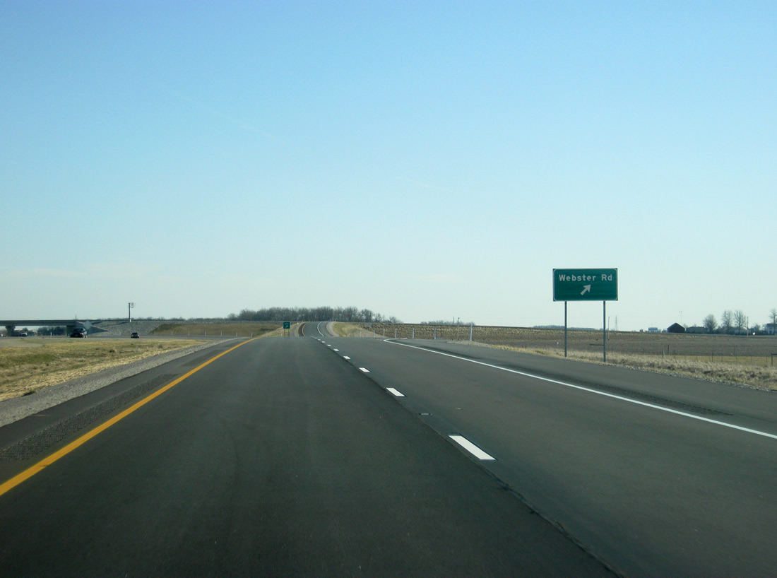
Now east of the Webster Road interchange, U.S. 24 returns to concrete for its pavement. Slowly since the Bruick Road interchange the new U.S. 24 has moved further to the south of the original U.S. 24, which closely follows the Maumee River northeast to Toledo. The new freeway will stay south of the original highway all the way to Defiance, Ohio.
01/18/13
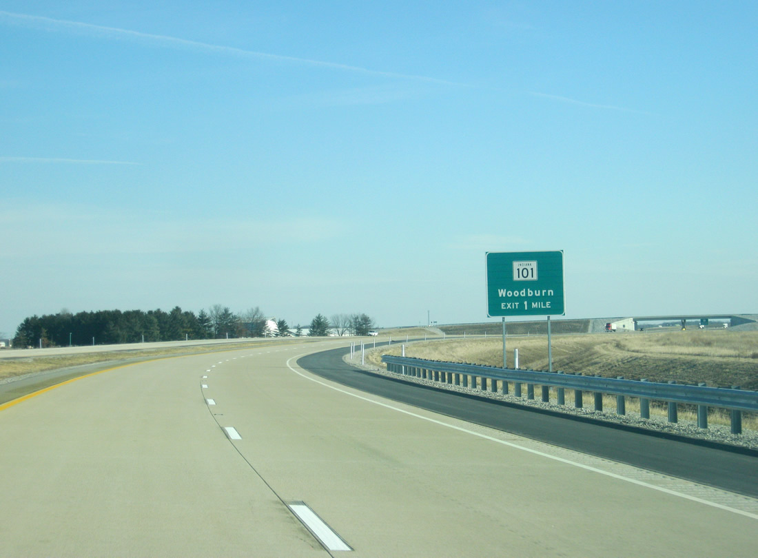
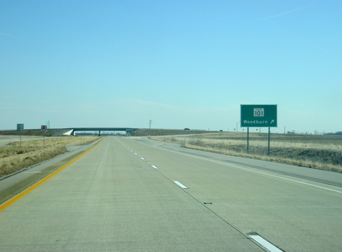
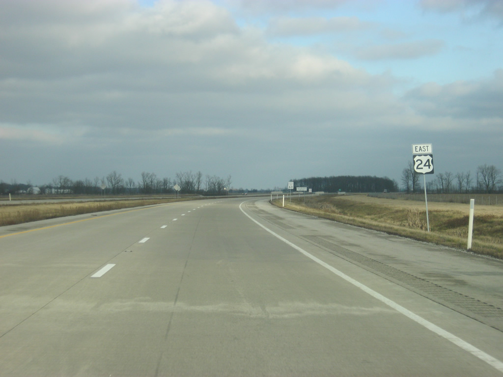
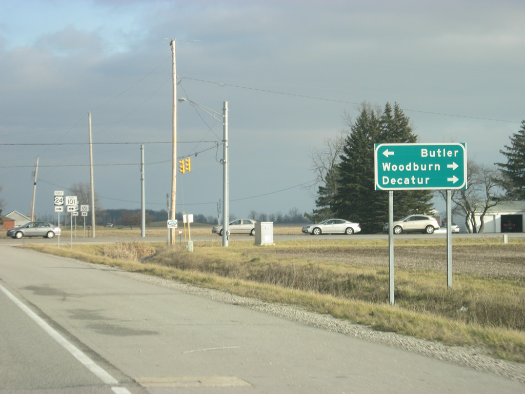
U.S. 24 approaches its final interchange in Indiana, with SR 101 to the north of Woodburn. The interchange is one mile from this point. SR 101 has four different segments across eastern Indiana.
01/18/13
U.S. 24 passes underneath the Bull Rapids Road overpass at the half mile approach to the SR 101 interchange. The northern segment of SR 101 goes for 45 miles from SR 124 in Adams County to the southeast of Decatur and heads north across eastern Adams, Allen and DeKalb County, serving the communities of Monroeville, Woodburn and Butler along the way to the junction with SR 1 & SR 8.
01/18/13
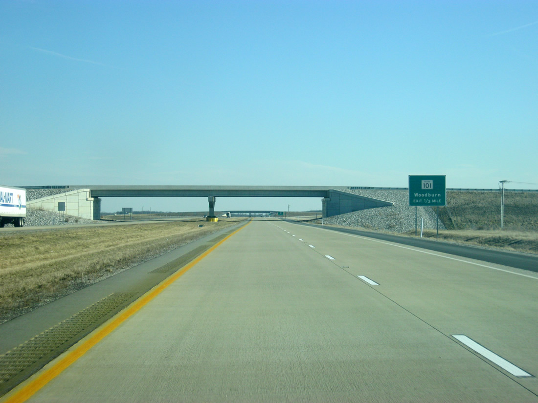
A diamond interchange connects U.S. 24 with SR 101. The town of Woodburn lies one mile to the south of the interchange and Old U.S. 24 is less than a mile to the north. From October 2009 to November 2012, the stretch of U.S. 24 east of this interchange had been opened and this interchange was used with SR 101 to connect traffic along the two lane U.S. 24 onto the new four lane highway. Once the entire highway was opened on November 14, 2012 this was no longer necessary.
01/18/13
A reassurance shield for U.S. 24 greets travelers on the U.S. 24 freeway, east of the SR 101 interchange.
12/26/10
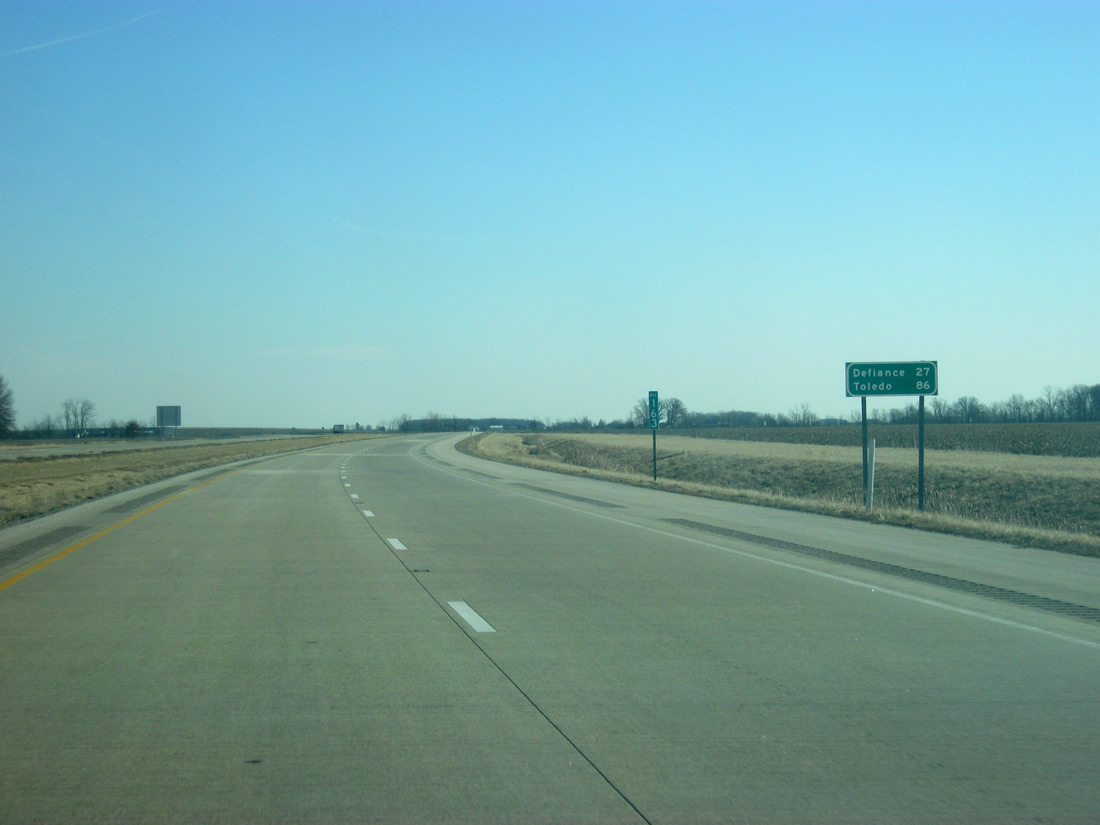
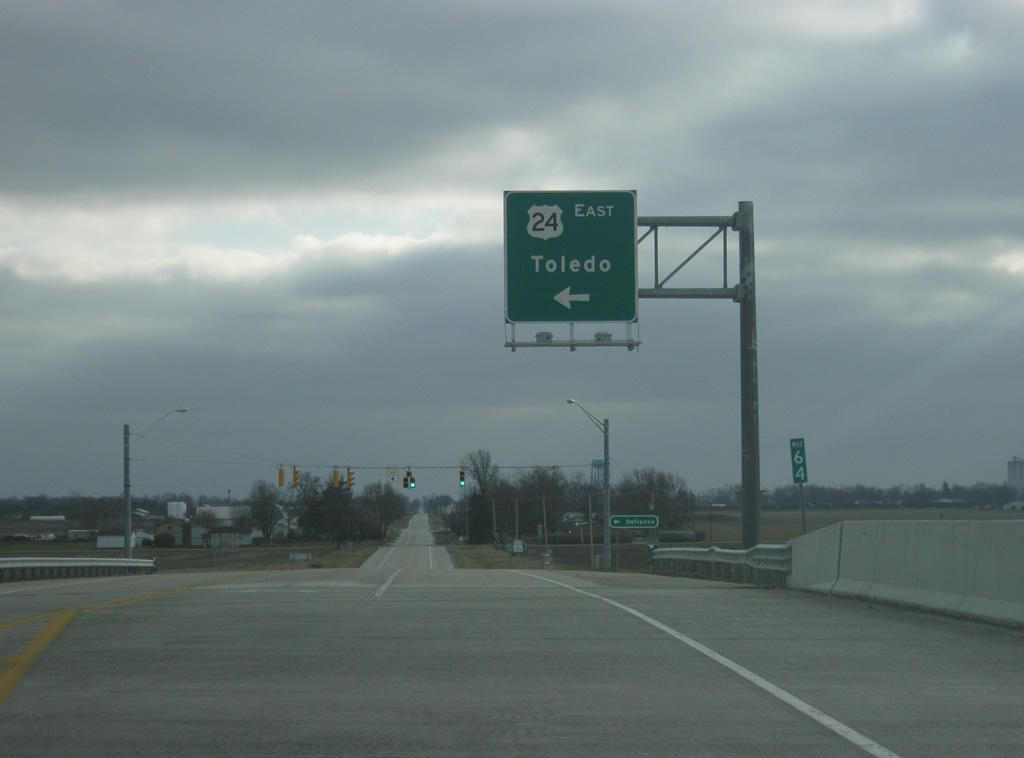
With nothing left in Indiana, the next two towns of note are in Ohio. Defiance is 27 miles away along U.S. 24 with the port city of Toledo, SR 86 miles away.
01/18/13
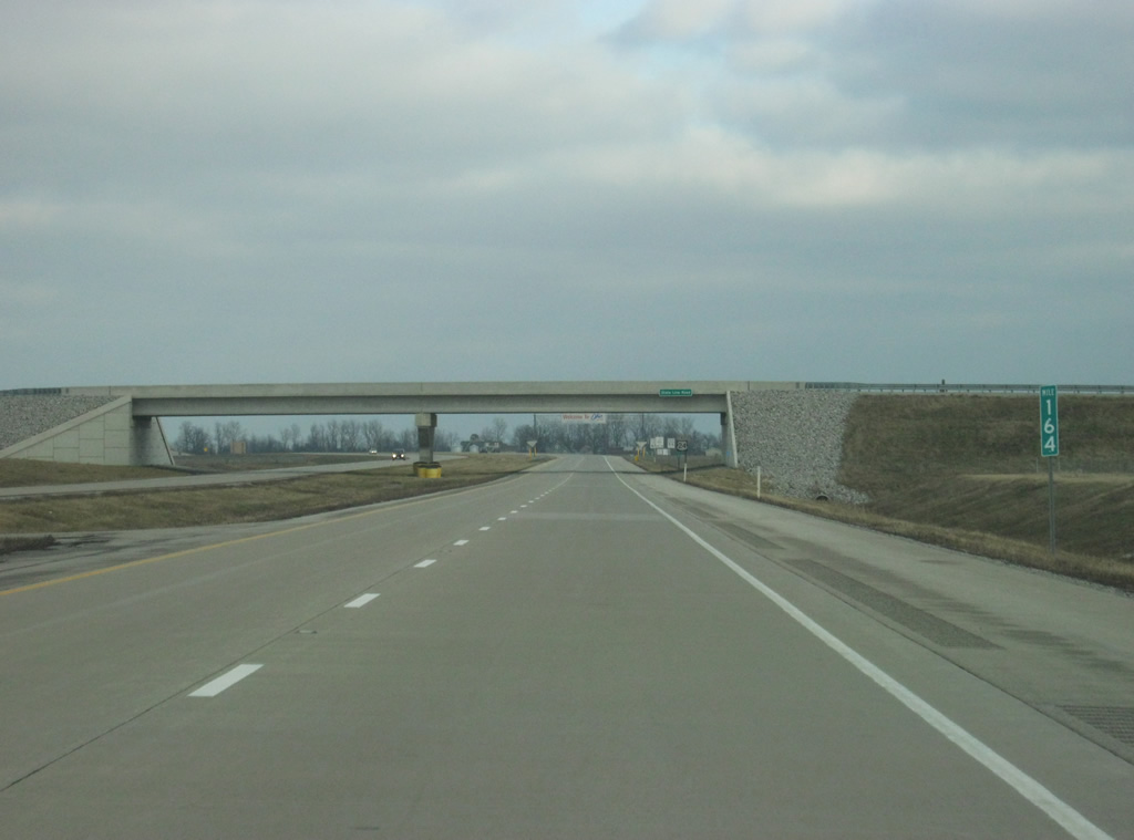
U.S. 24 passes by its 164th mile in Indiana; it's last one as it passes underneath State Line Road and leaves the Hoosier State.
12/26/10
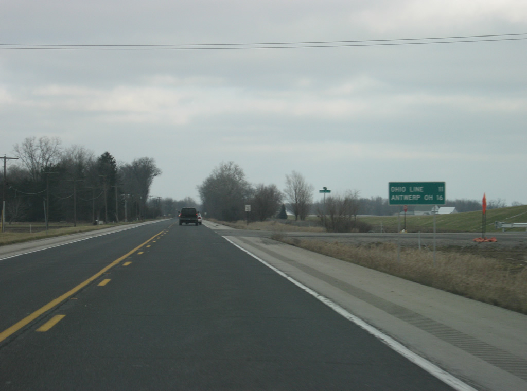
Old U.S. 24 east of Interstate 469 and the city of New Haven. From the intersection with Doyle Road, the Ohio state line is 12 miles away with Antwerp, Ohio at 16 miles. The distances were based on the original two lane U.S. 24 which was bypassed as a part of the Fort-to-Port project that upgraded U.S. 24 into a high speed four lane highway from Fort Wayne to Toledo.
12/26/10

As of 2010, U.S. 24 still traveled along a two lane highway north from Interstate 469 to SR 101. The stretch of U.S. 24 from Fort Wayne to Toledo, Ohio was the last major part to be upgraded to expressway or freeway status. U.S. 24 now travels a freeway from an at-grade junction with Interstate 469 east to the Ohio state line. Beyond there, it is a four lane expressway with at-grade junctions with county roads and interchanges with U.S. and state highways, with the Ohio portion of the highway being finished in 2013.
12/26/10
Old U.S. 24 enters the intersection with Webster Road at Five Points. Webster Road crosses eastern Allen County and sees an interchange at the new U.S. 24 freeway to the south of this location.
12/26/10
Views of former U.S. 24 in between Webster Road and SR 101. Additional truck traffic along this two lane road, built in the 1930s, necessitated the need for the new highway, just as it did around the cities of Logansport, Peru, Wabash and Huntington. Upon completion of the new freeway, this stretch of highway was renamed Old U.S. 24 and returned to Allen County.
12/26/10
Nearing the intersection with SR 101 and the final point where U.S. 24 turned south to meet the new U.S. 24 freeway. As of 2010, the intersection was designed for the heavy turning traffic that would be required at this intersection, but now that the new freeway is open to Interstate 469, the extra turning lanes are no longer necessary.
12/26/10
Old U.S. 24 meets the northern segment of SR 101, 1.25 miles north of Woodburn.
12/26/10
U.S. 24 followed SR 101 south to a diamond interchange with the new freeway and an eastward turn to Ohio. Within Indiana, Toledo is the main control city of U.S. 24 east of Fort Wayne. Past the interchange, SR 101 returns to being a low-traveled state highway into Woodburn.
12/26/10
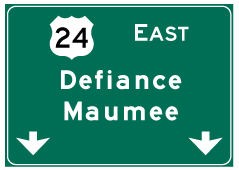
Photo Credits:
- Thomas Decker: 08/16/09, 12/26/10, 12/28/11, 01/18/13
Connect with:
Page Updated Monday March 04, 2013.