
U.S. 24 East - White & Cass Counties
 East
East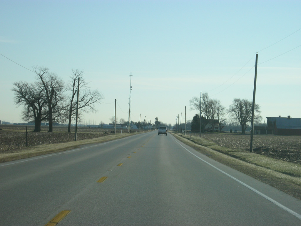
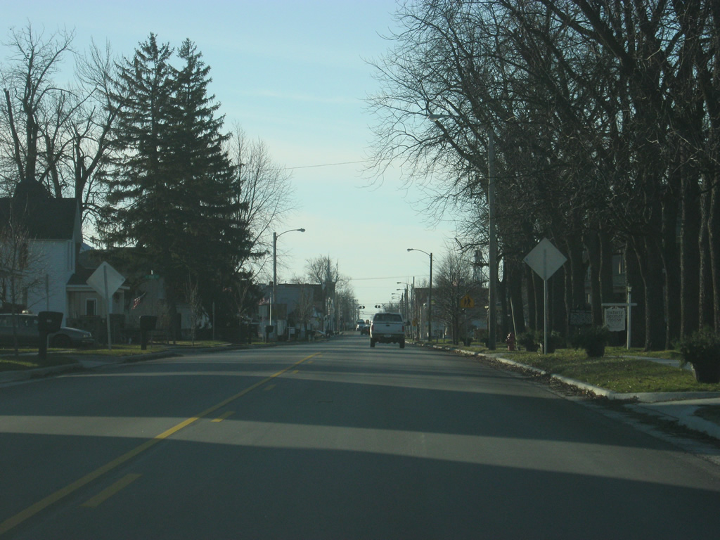
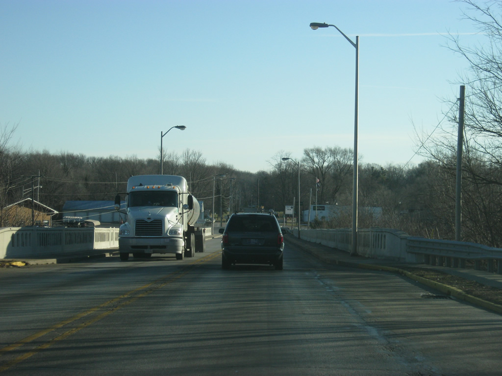
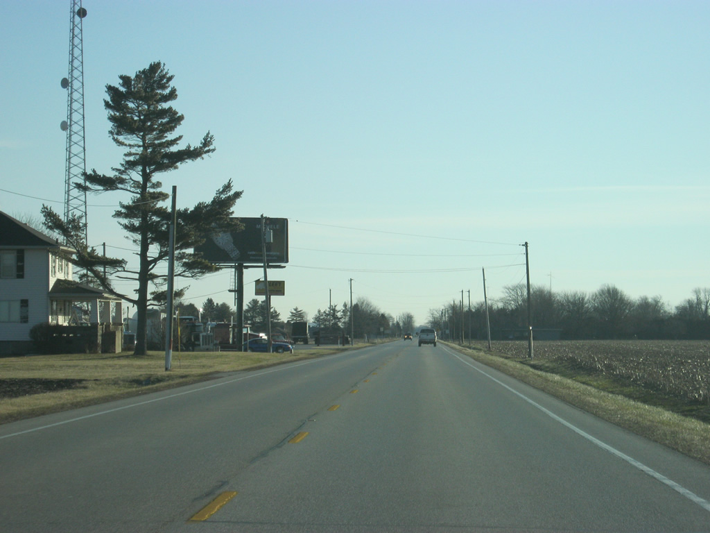
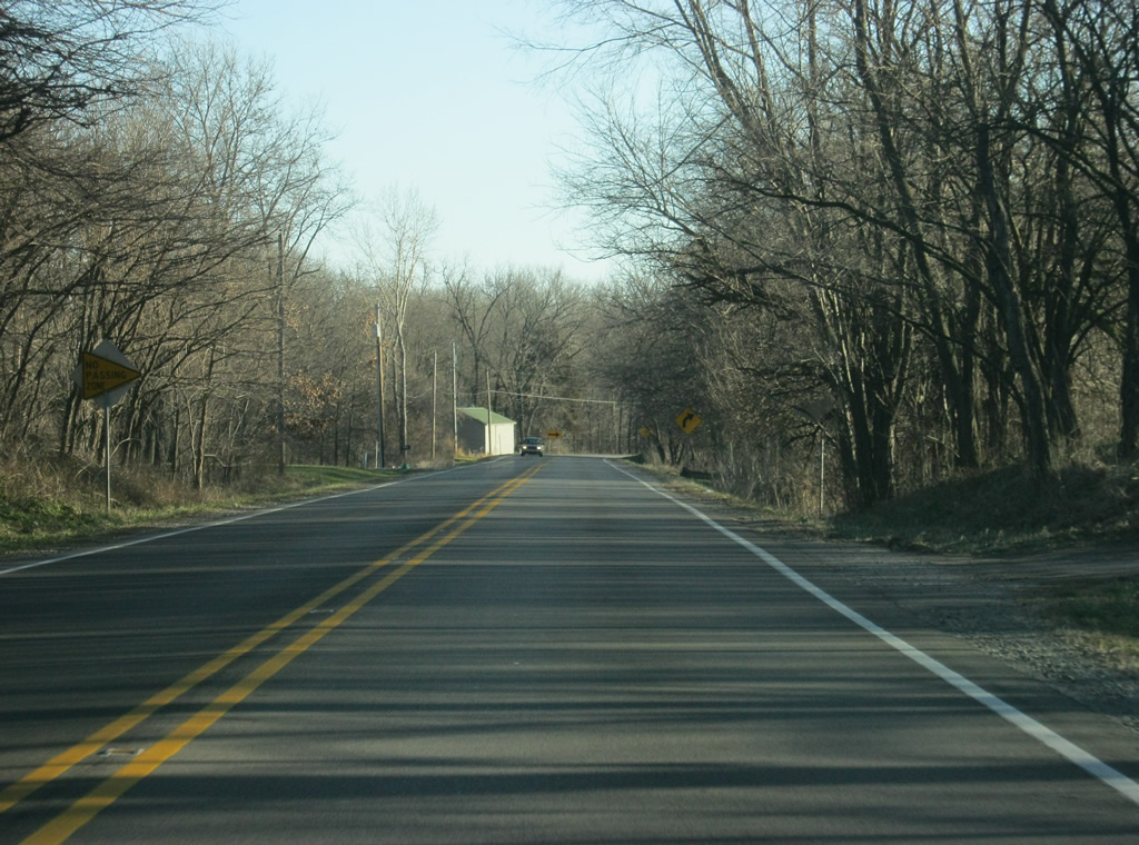
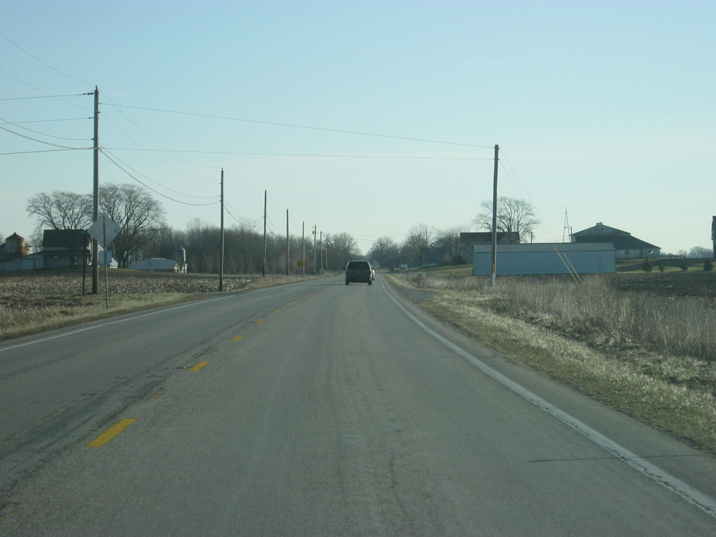
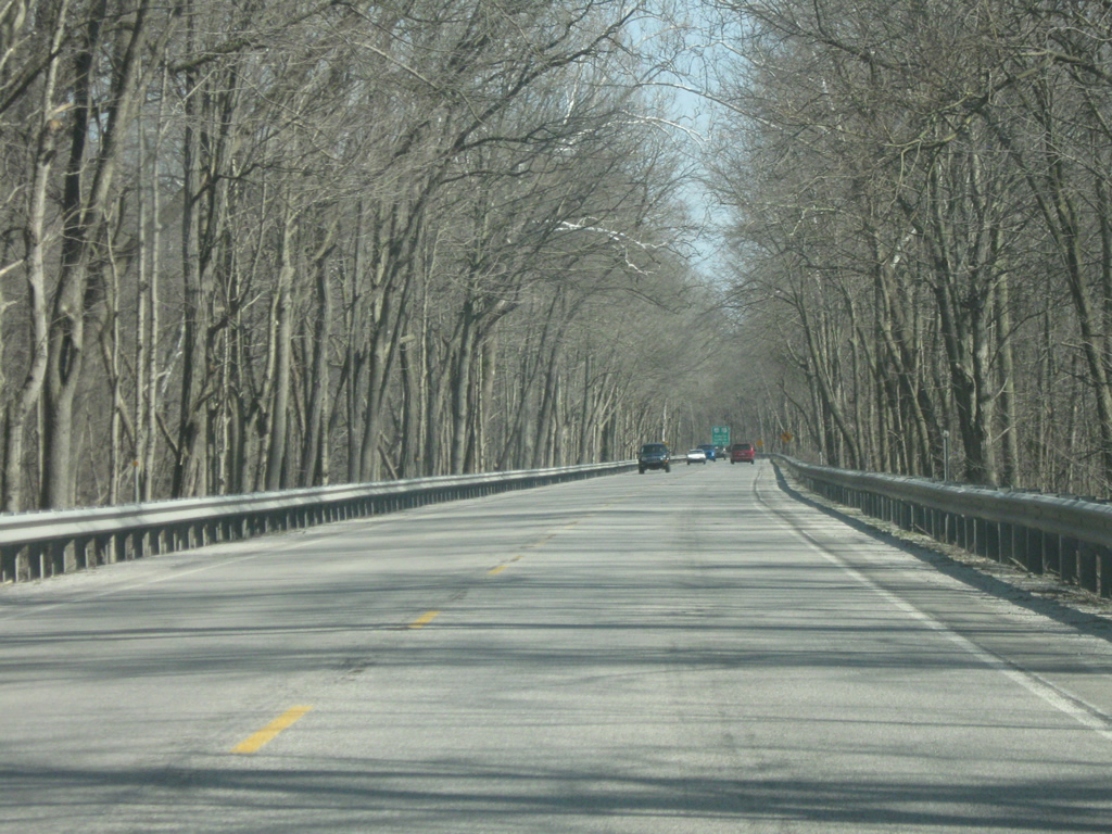
Views of U.S. 24 east & U.S. 231 south as they head east from the White-Jasper County line toward the community of Wolcott.
04/13/10
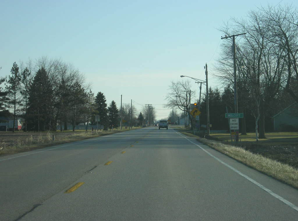
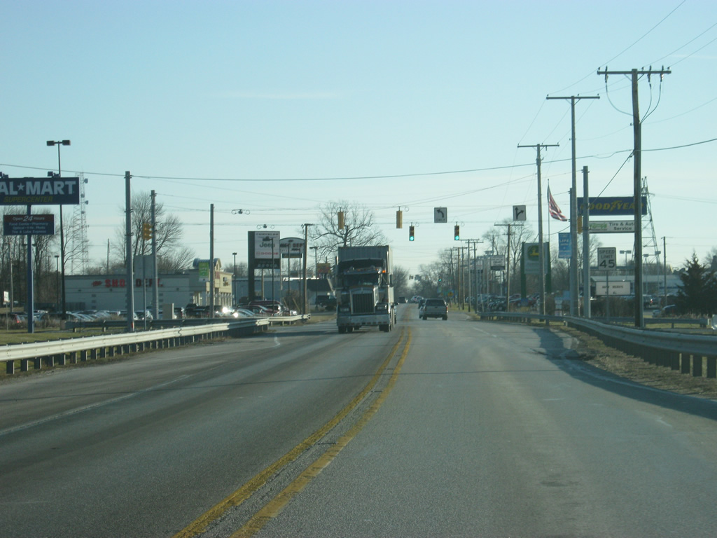
U.S. 24 east & U.S. 231 south enter the town of Wolcott (population 1,001).
04/13/10
Upon entering Wolcott, U.S. 24 east & 231 south make a 90-degree turn toward the south. From there, it will follow Range Street across Wolcott.
04/13/10
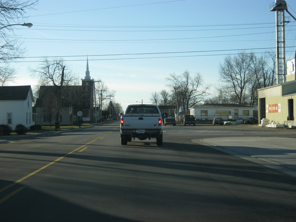
Now in town, U.S. 24/U.S. 231 (Range Street) head south toward the center of Wolcott.
04/13/10

Views of U.S. 24 east & 231 south (Range Street) as they pass through Downtown Wolcott. In the first picture, U.S. 24 finally crosses the Toledo, Peoria and Western Railway, which it has followed to the north since crossing into Indiana. From Wolcott, U.S. 24 will follow the railroad from the south.
04/13/10
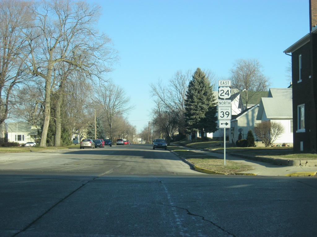
On the south side of Wolcott, U.S. 24 and U.S. 231 south near their split.
04/13/10

Lafayette is about 32 miles to the south along U.S. 231 south. Monticello-bound traffic will make another 90-degree turn back to the east.
04/13/10

Now at the split between U.S. 24 and U.S. 231 south. An Emergency Detour route for Interstate 65 follows U.S. 231 to the south toward its third southbound interchange with the interstate, 10 miles to the south.
04/13/10
East
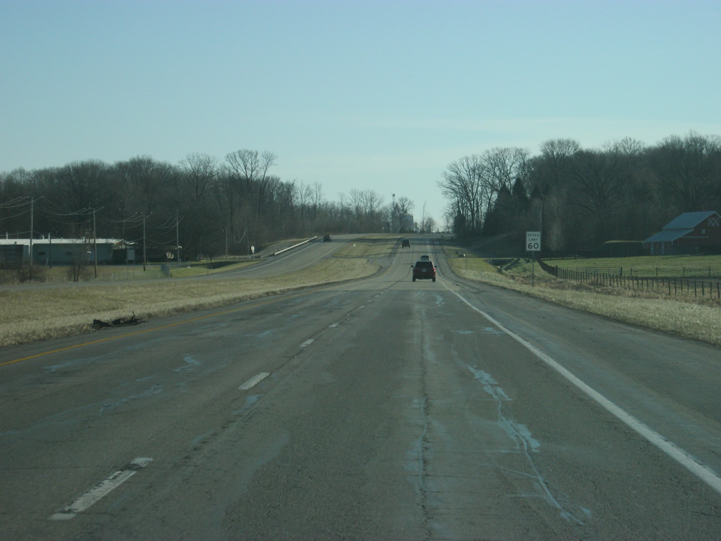
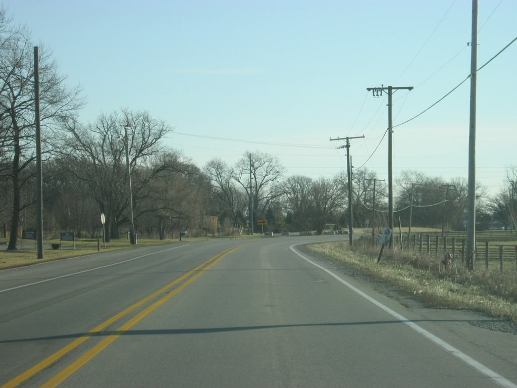
East of Wolcott, U.S. 24 is nine miles away from the next community of Reynolds and 111 miles from Fort Wayne.
04/13/10
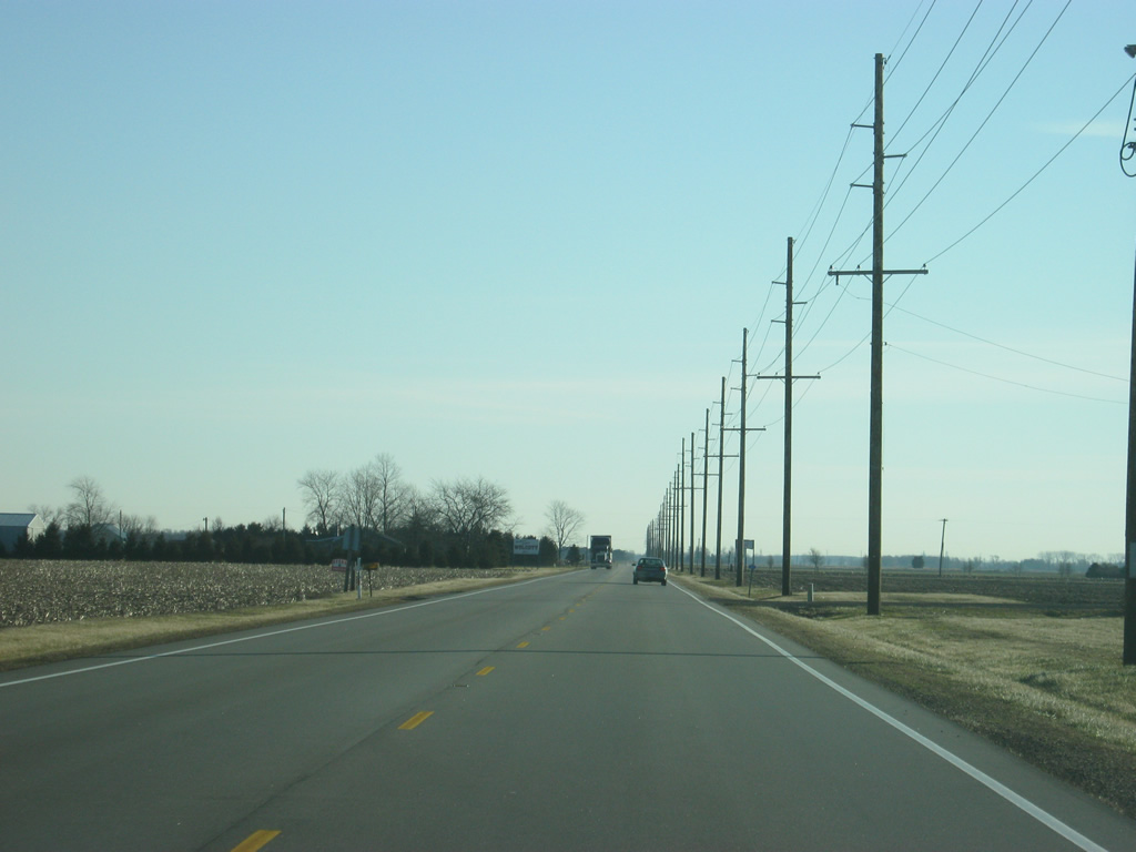
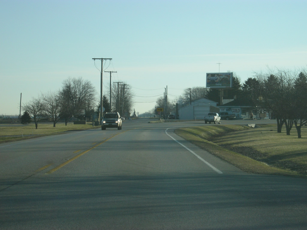
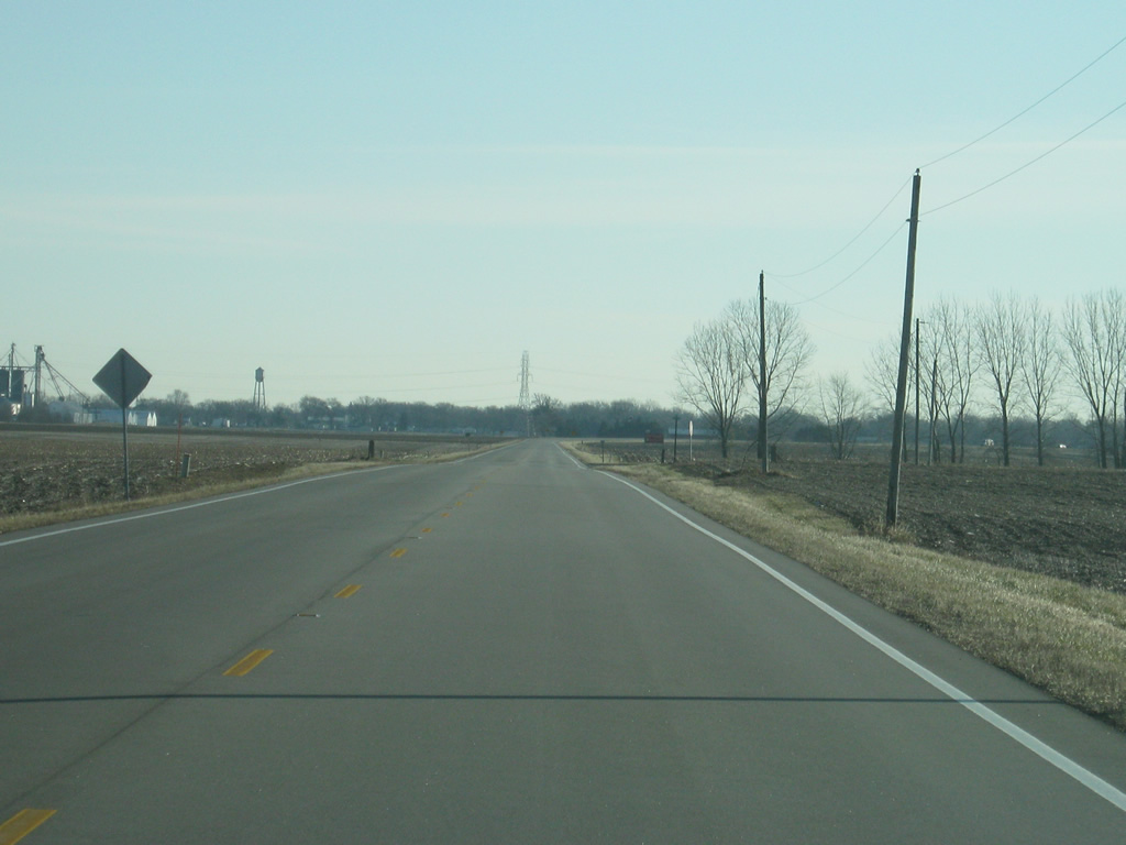
A view of U.S. 24 to the east of Wolcott.
04/13/10
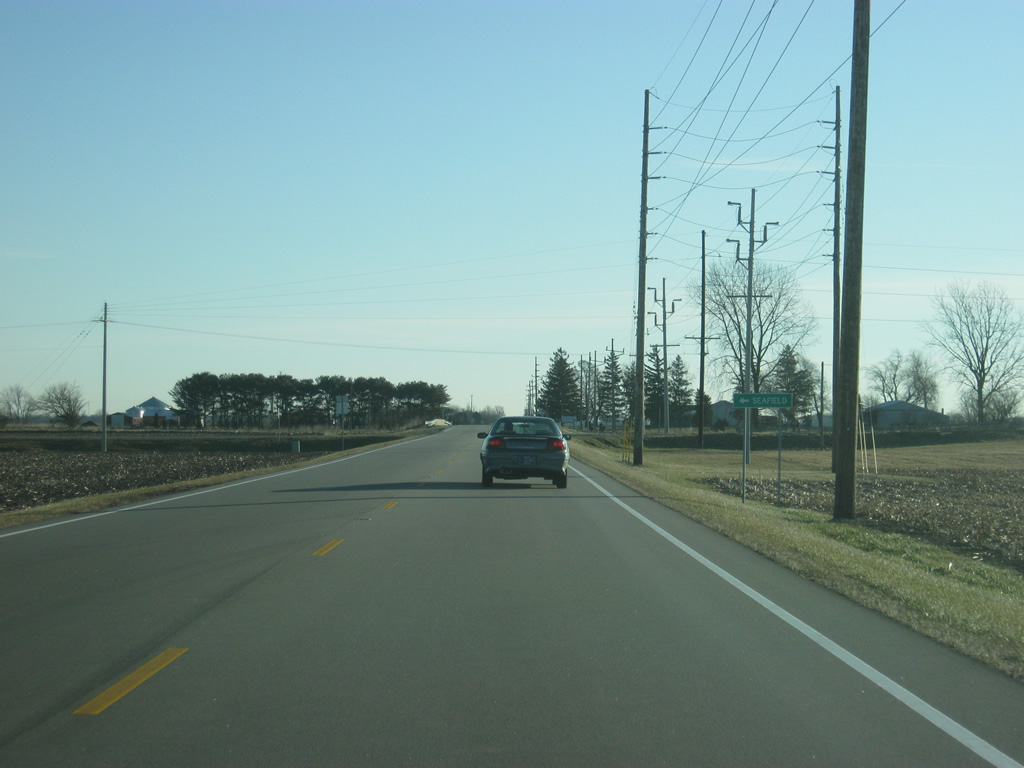
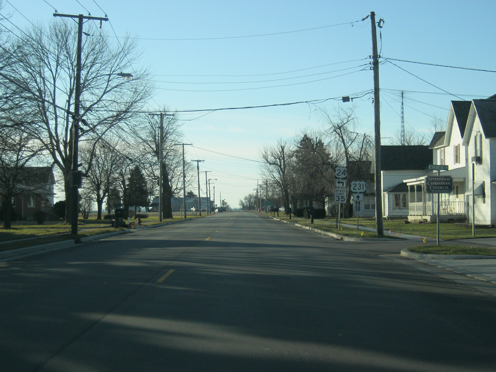
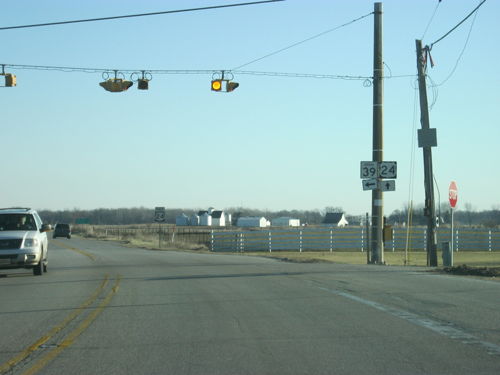
U.S. 24 east at the intersection with County Road 600 West, which leads to the very small community of Seafield.
04/13/10

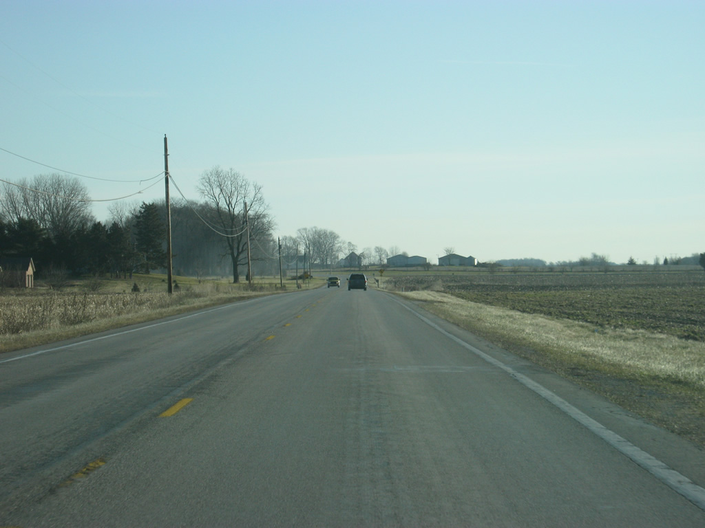
East of County Road 600 West, U.S. 24 continues east toward the town of Reynolds across the flat agricultural fields of White County. The stretch of U.S. 24 from the Illinois border east toward Logansport is the flattest across the state.
04/13/10
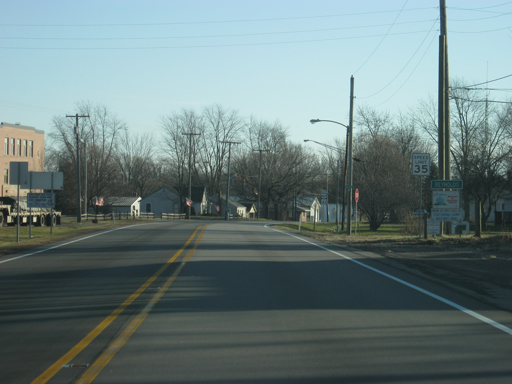
U.S. 24 enters the town of Reynolds (population 533). Nicknamed Bio-Town USA, Reynolds was a part of a pilot program to have the town run on locally-produced alternative energy. The wind farms that were present in Benton County follow a path eastward toward Reynolds, staying south of U.S. 24. In town, U.S. 24 follows 2nd Street.
04/13/10
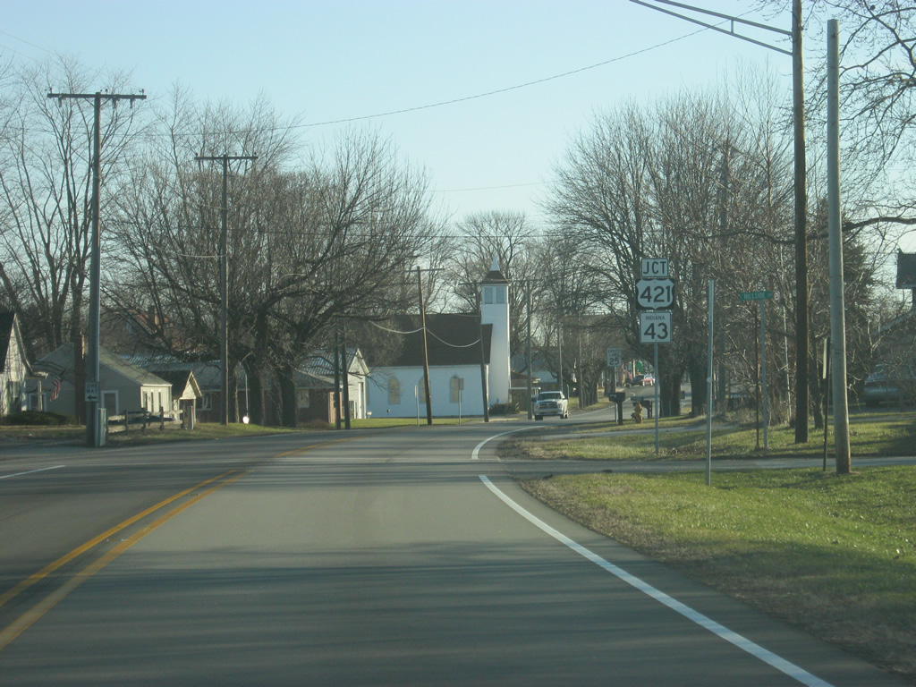
Upon entering Reynolds, U.S. 24 (2nd Street) approaches the intersection with U.S. 421 north and SR 43 south. U.S. 421 travels for 232 miles across Indiana from Michigan City to the north through Reynolds, Monticello, Frankfort, Indianapolis, Shelbyville, Greensburg, Versailles and Madison. Nationally, the highway goes for 941 miles from Michigan City to Wilmington, North Carolina.
04/13/10
U.S 421 will follow U.S. 24 (2nd Street) to the east while SR 43 heads south for 22.75 miles to Lafayette. A second segment exists for 23.5 miles in Owen and Greene Counties. SR 43 connects Lafayette to U.S. 421 to the north.
04/13/10

As mentioned, SR 43 heads south toward the Tippecanoe County seat of Lafayette, via Chalmers, Brookston and Battle Ground. The communities of Monon and Michigan City can be reached via U.S. 421 to the north.
04/13/10
Now at the stoplight intersection between U.S. 24 (2nd Street) and U.S. 421 north/SR 43 south (Kenton Street) in the middle of Reynolds.
04/13/10
East 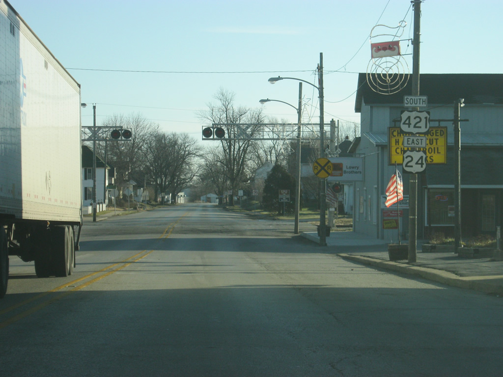
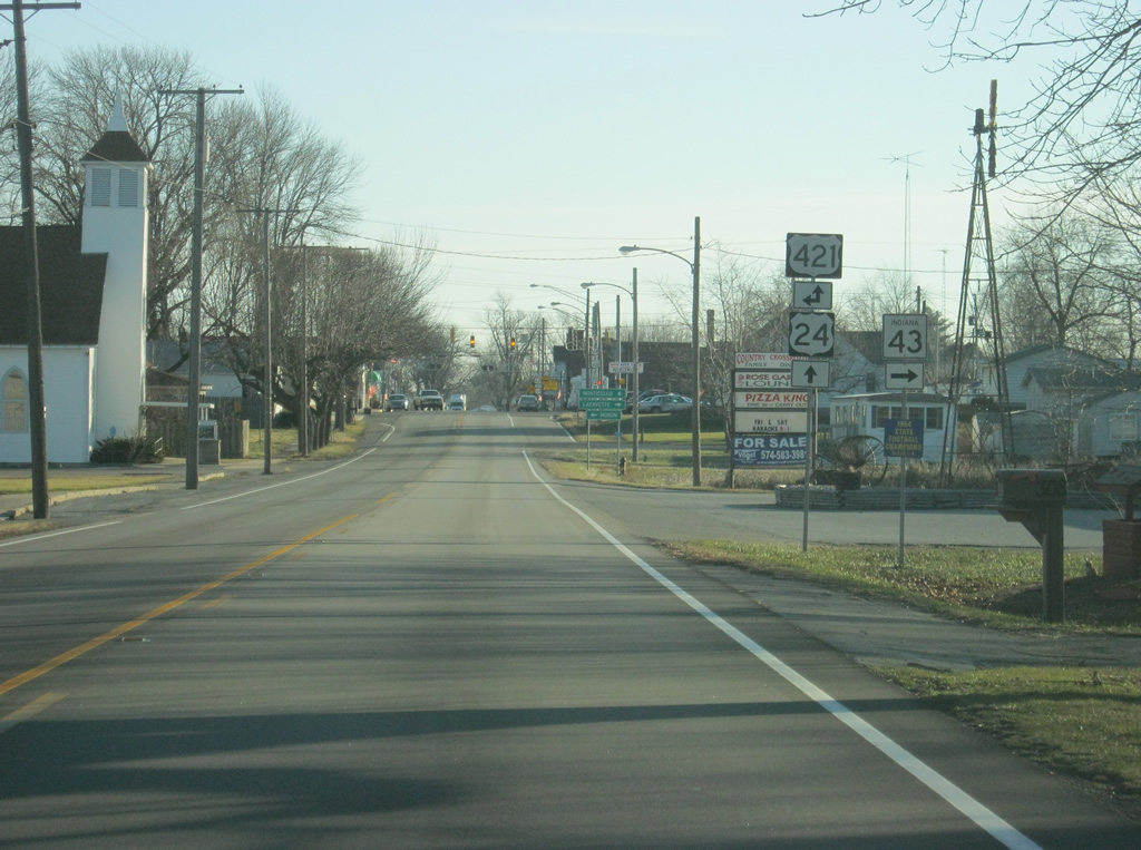
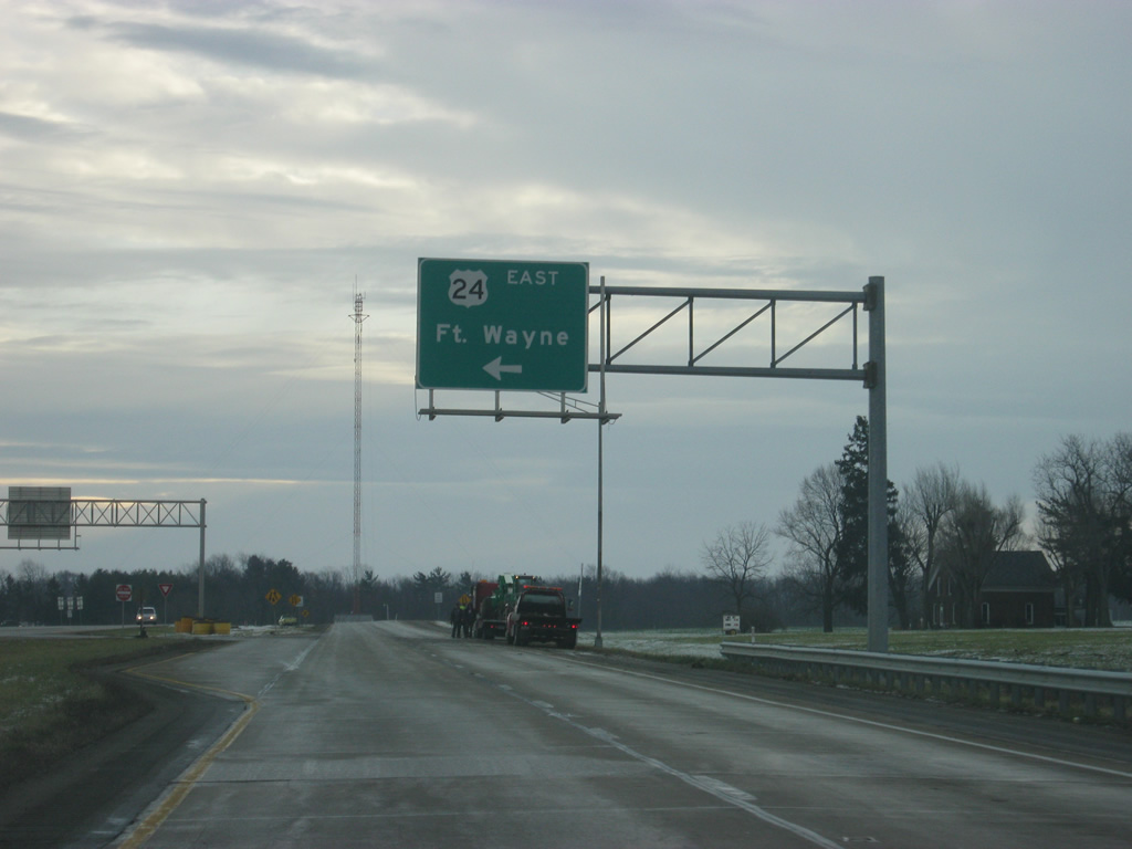
U.S. 421 follows U.S. 24 to the east for six miles to the city of Monticello.
04/13/10
A view of U.S. 24/U.S. 421 south (2nd Street) on the east side of Reynolds.
04/13/10
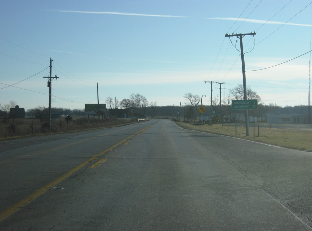
Monticello is six miles away along U.S. 24/U.S. 421 south. The Cass County seat of Logansport is 22 miles to the east along U.S. 24.
04/13/10
East of Reynolds, U.S. 24/U.S. 421 south picks up more traffic from U.S. 421 as it heads for Monticello.
04/13/10

After a few turns toward the southeast and back to the east, U.S. 24 east & U.S. 421 south enter the city of Monticello (population 5,378) along Broadway Street. Monticello is the county seat and largest community in White County but is best known for the Indiana Beach amusement park and resort that greets many visitors to the area each summer. The area around Monticello is known as the Twin Lakes after the two man-made lakes of Shafer and Freeman that are north and south of the city respectively.
04/13/10
U.S. 24 east / U.S. 421 south (Broadway Street) goes past several shopping centers and restaurants on the west side of town. Most visitors to Indiana Beach and the Twin Lakes come in from the west, hence the commercialized stretch around here.
04/13/10
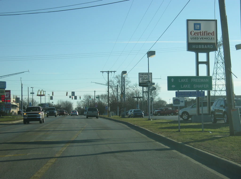
Now approaching the intersection with 6th Street. 6th Street to the north leads to Lake Shafer and is the best route to the Indiana Beach amusement park. Travelers bound for Lake Freeman are advised to continue east into Monticello.
04/13/10

U.S. 24 & 421 (Broadway Street) continue to the east of 6th Street as they head into the residential part of Monticello.
04/13/10
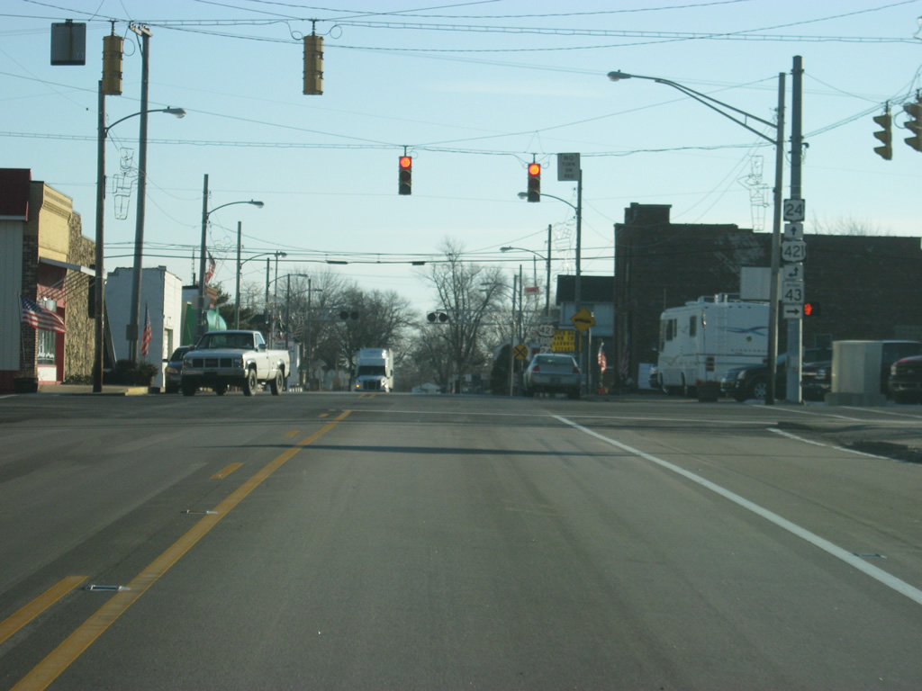
Nearing the intersection of U.S. 24 east & 421 (Broadway Street) south with Railroad Street. Here, U.S. 24 will leave the multiplex with U.S. 421 and pick up SR 39 for another multiplex. SR 39 runs for nearly 180 miles from SR 37 at Martinsville north past Danville, Lebanon, Frankfort, Delphi, Monticello and LaPorte before ending at M-239 near Interstate 94 inside the Michigan state line. U.S. 421 will follow SR 39 south along Railroad Street toward Delphi and Frankfort.
04/13/10
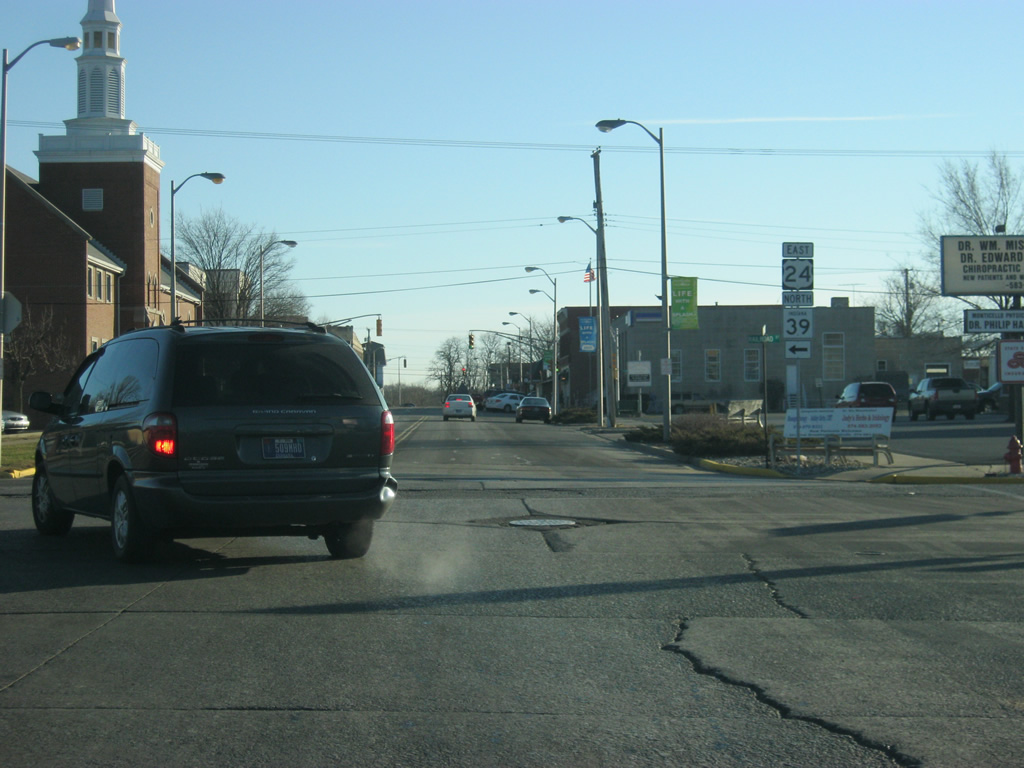
U.S. 24 used to follow Broadway Street two more blocks to the east to Main Street, but was rerouted around Downtown Monticello via Railroad Street and Washington Street. Either way, U.S. 24 will follow Washington Street out of Monticello.
04/13/10
East 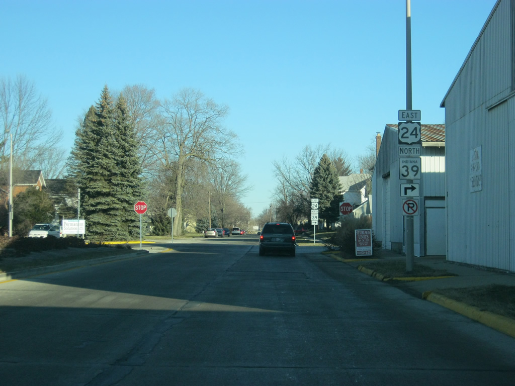
U.S. 24 east/SR 39 north follow Railroad Street one block to the north to Washington Street. As the name suggest, a railroad used to be present in the median of this street, but that railroad has since been removed. The boulevard-like road that it left behind made it suitable for a reroute of both U.S. 24 and U.S. 421 around Downtown Monticello.
04/13/10
Railroad Street continues to the north while U.S. 24 and SR 39 north follow Washington Street to the east.
04/13/10
Heading east along U.S. 24 east/SR 39 north (Washington Street) through Downtown Monticello. One block east of Railroad Street is Illinois Street, which carries traffic southbound through the downtown. One block east of there is Main Street, which used to be a two-way road but now carries two lanes of traffic northbound toward the Lake Shafer area.
04/13/10
Now east of Main Street, U.S. 24 east/SR 39 north (Washington Street) leave the Downtown Monticello area as they prepare to cross the Tippecanoe River, which links Lake Shafer to the north with Lake Freeman to the south.
04/13/10
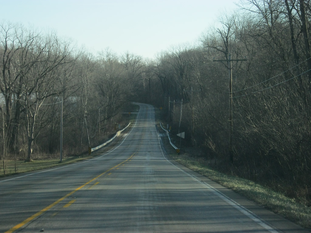
U.S. 24 east/SR 39 north leave Downtown Monticello on a bridge across the Tippecanoe River. This bridge is slated for replacement by a newer span that will be placed just north of the current bridge. This new bridge is part of a project that will also realign the highway to the east of the river. Construction will begin in 2013 with completion expected in 2015.1
04/13/10
U.S. 24 & SR 39 make a sharp turn to the north beyond the bridge over the Tippecanoe River. Washington Street continues east at the tandem veer in a north-northeast direction. This turn will also be improved as part of the aforementioned project to reconstruct the bridge over the Tippecanoe River.
04/13/10
U.S. 24 east/SR 39 north passes underneath the Toledo, Peoria and Western Railway bridge as it heads east out of the Monticello area.
04/13/10
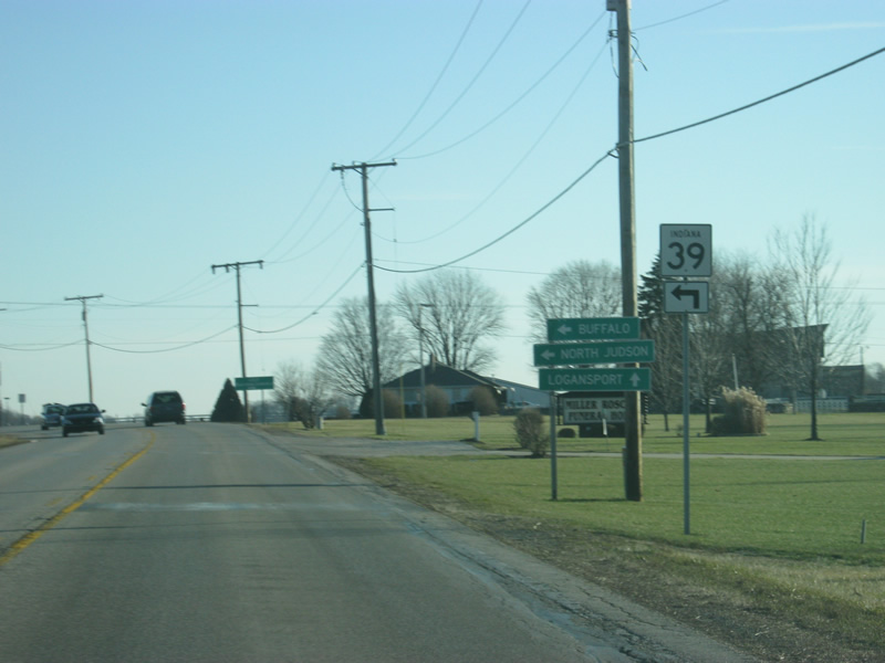
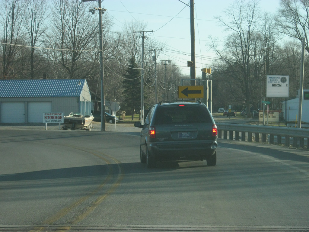
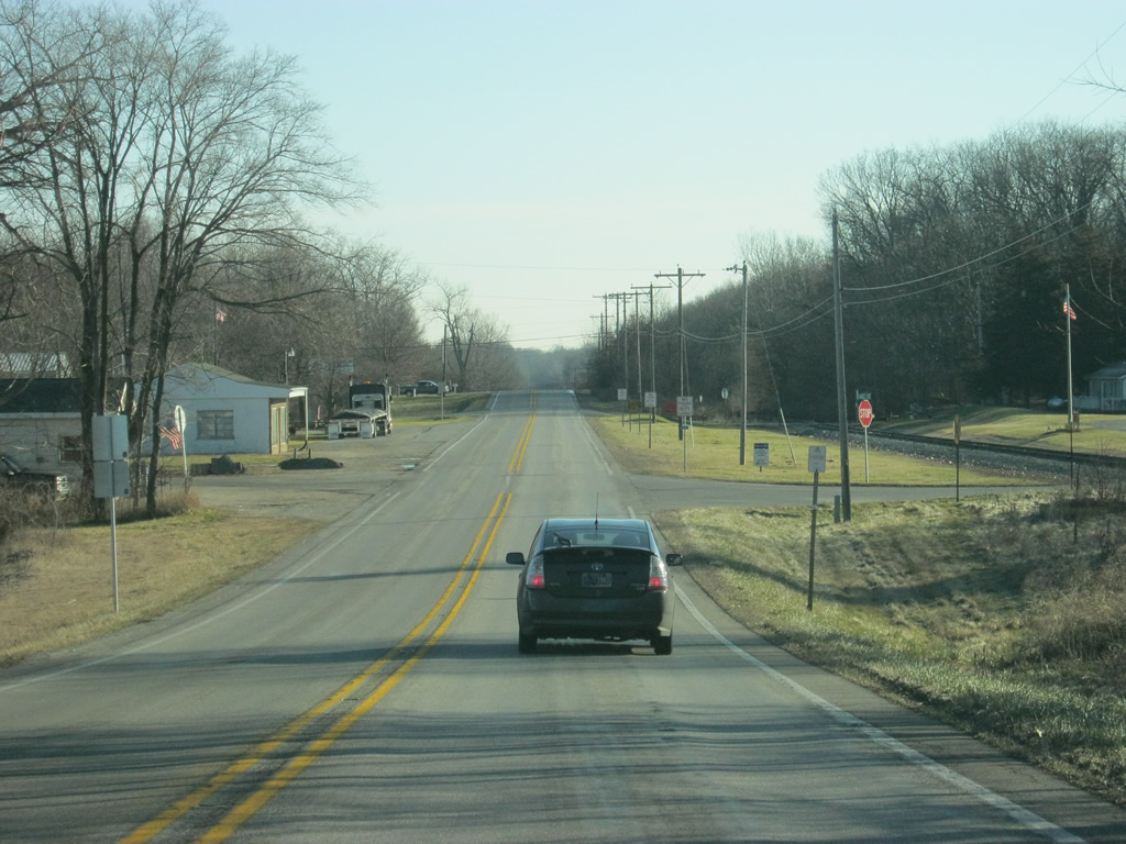
Leaving the Monticello area, we are now approaching the split between U.S. 24 and SR 39 north. The towns of Buffalo and North Judson can be reached by taking SR 39 to the north. Logansport is the next major community along U.S. 24 to the east.
04/13/10
SR 39 leaves to the north while U.S. 24 continues to the east.
04/13/10
East
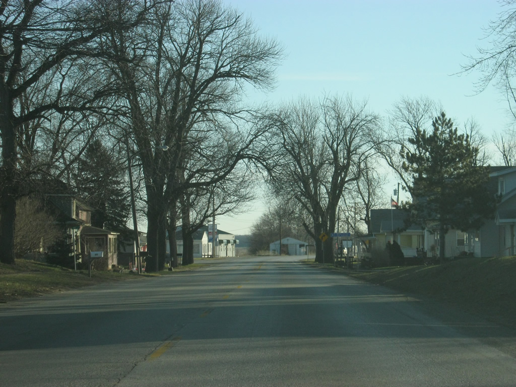
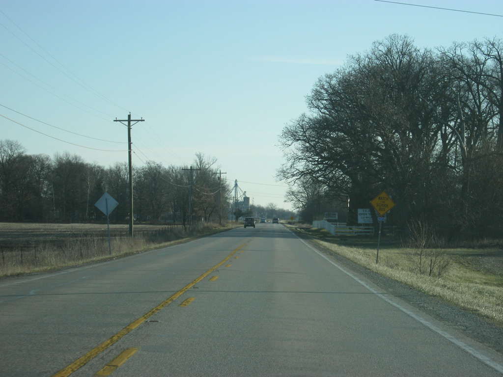
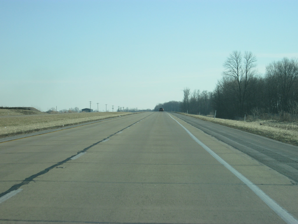
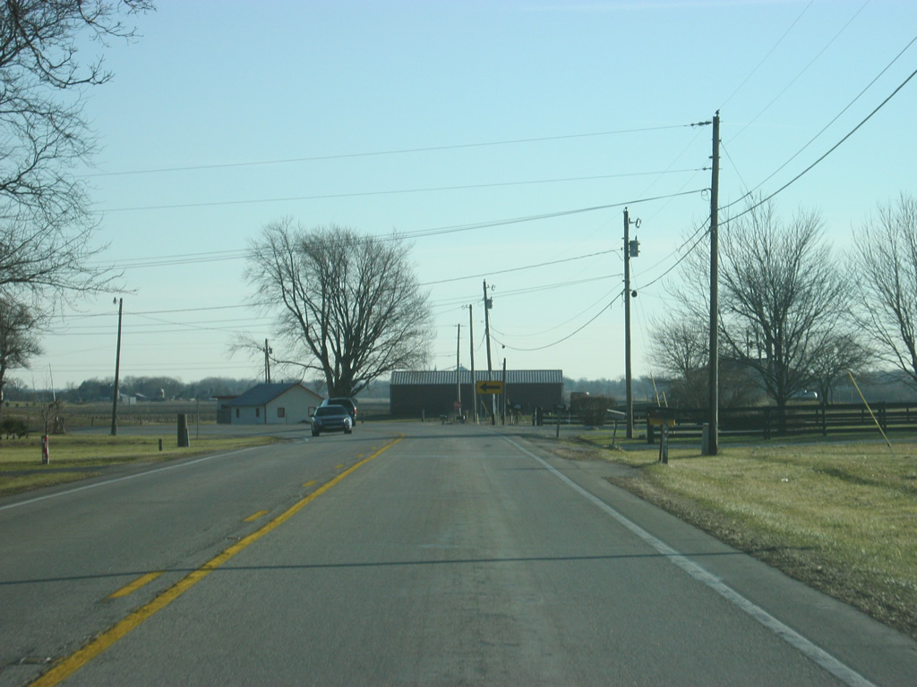
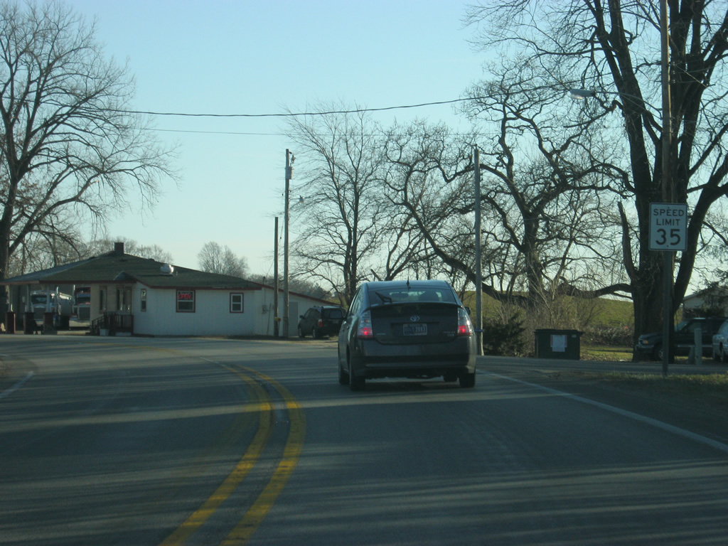
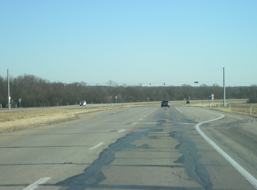
The next community along U.S. 24 is the town of Burnettsville, nine miles away. Fort Wayne is 98 miles down the road.
05/13/10
U.S. 24 continues through more agricultural fields in the eastern part of White County en route toward Burnettsville. Slowly since Monticello, traffic counts increase as one heads east toward Logansport. As it was from the Illinois border to Wolcott, U.S. 24 is again paralleling the Toledo, Peoria and Western Railway to the north.
04/13/10
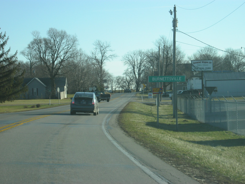
On the eastern border of White County, U.S. 24 goes through the town of Burnettsville.
04/13/10
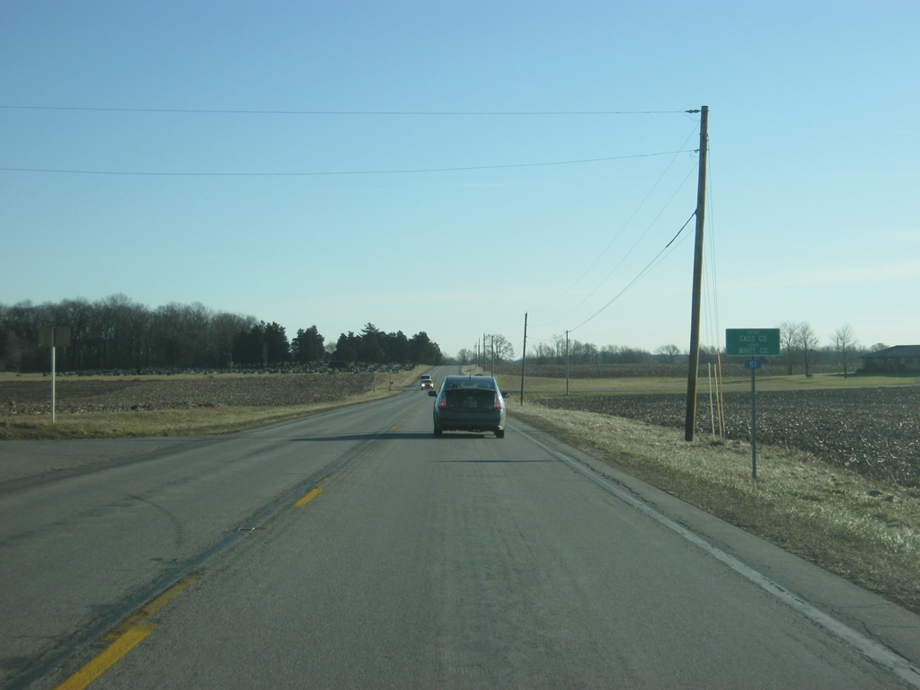
East of Burnettsville, U.S. 24 enters Cass County (population 38,966).
04/13/10

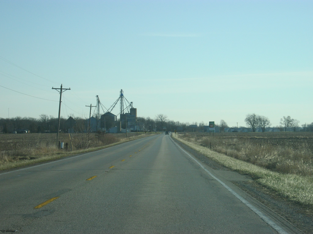
A view of U.S. 24 to the east of the Cass-White County line.
04/13/10
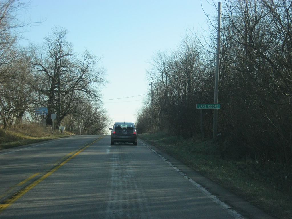
In the western part of Cass County, U.S. 24 passes through the community of Lake Cicott, which is named for the lake of the same name that is just north of U.S. 24.
04/13/10
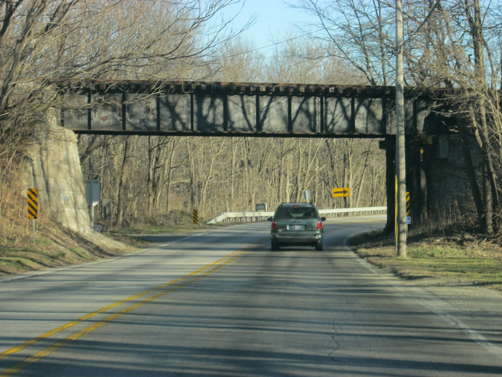
East of Lake Cicott, U.S. 24 goes through more wooded terrain as it enters the valley of the Wabash River for the first time. From Cass County northeast to Huntington, U.S. 24 will follow the state river of Indiana at various locations.
04/13/10

U.S. 24 passes the entrance to France Park, which is the Cass County Recreation Area.
04/13/10
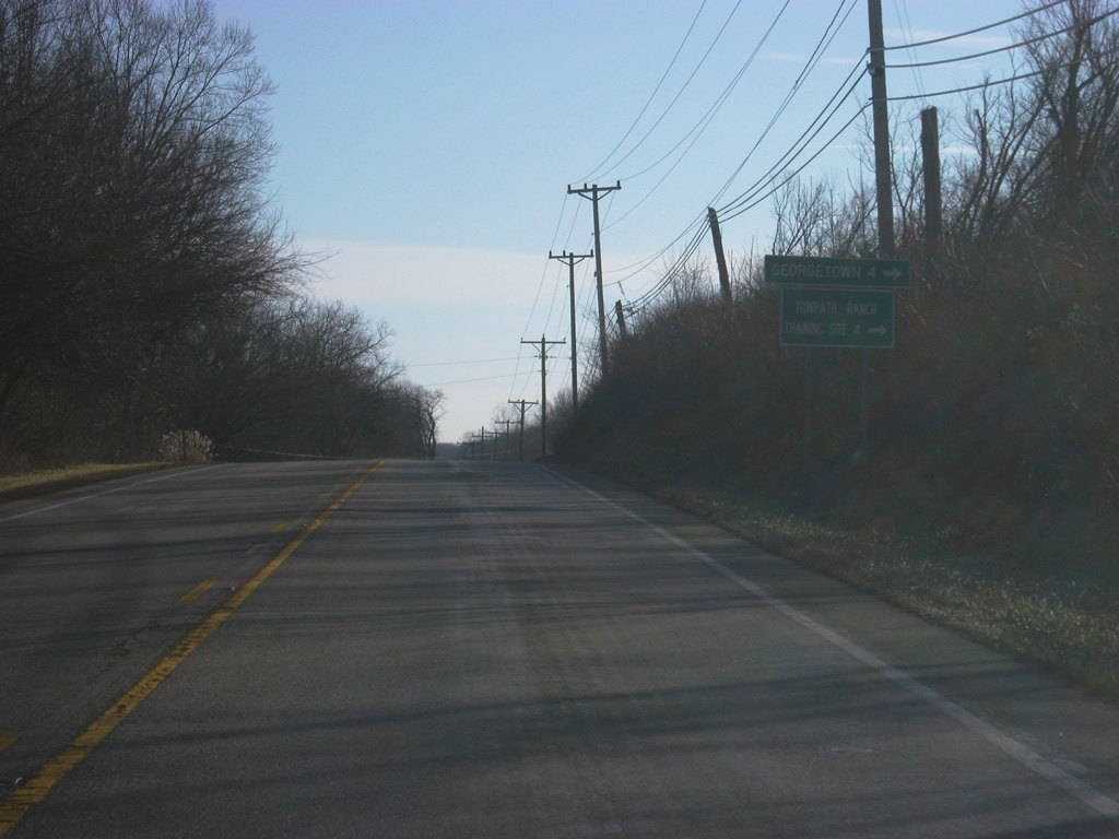
East of France Park, U.S. 24 intersects with Georgetown Road, which follows the Wabash River for four miles to the town of Georgetown.
04/13/10
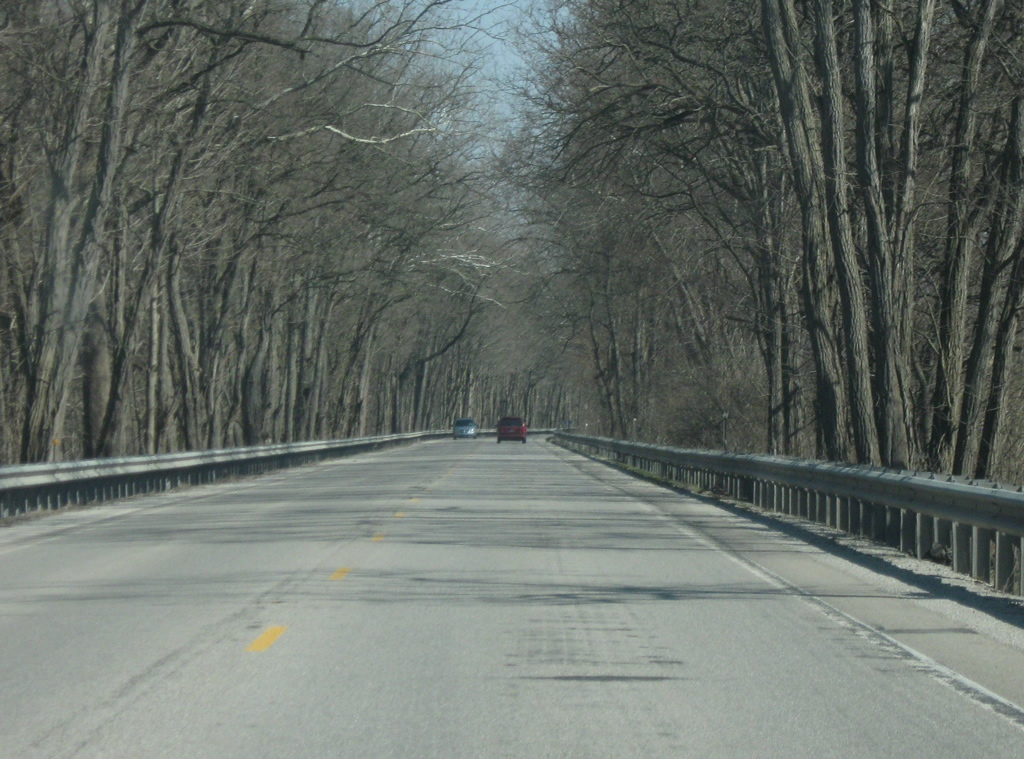
A far cry from the flat agricultural fields of Newton, Jasper and White Counties, U.S. 24 spends the next couple of miles going through the forest surrounding the Wabash River as it approaches the city of Logansport.
03/19/10
U.S. 24 approaches the interchange with U.S. 35. U.S. 35 runs for 210 miles across Indiana from Michigan City to the north through LaPorte, Logansport, Kokomo, Gas City, Muncie and Richmond before heading east into Ohio. Nationally, the highway goes for 412 miles to the southeast to end at Interstate 64 in West Virginia.
03/19/10
U.S. 24 is now a half mile away from the interchange with U.S. 35. U.S. 24 will follow U.S. 35 to the south as part of the Logansport Bypass. U.S. 35 used to follow U.S. 24 east into Logansport where the two routes split in Downtown Logansport. The U.S. 35 bypass of the west side of Logansport was completed in the mid-1960s.
03/19/10
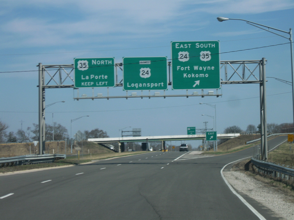
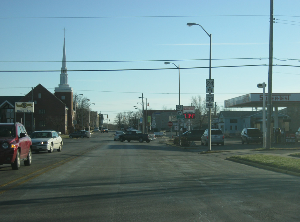
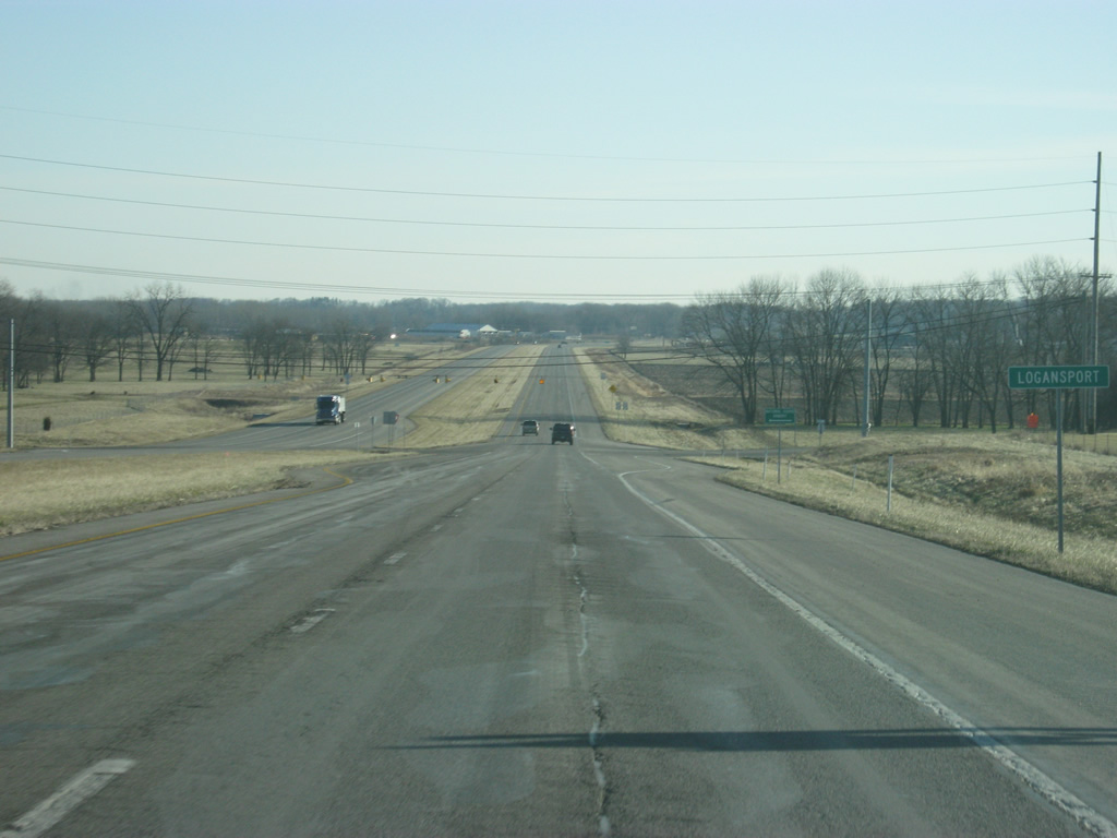
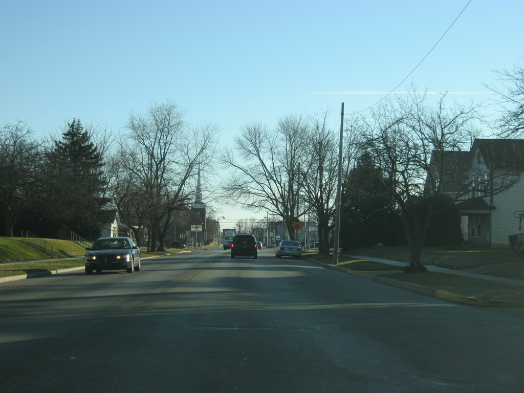
U.S. 24 ventures southward alongside U.S. 35 toward the control cities of Fort Wayne and Kokomo respectively. Up ahead, a ramp takes travelers north for the 60 mile trip to LaPorte. Business U.S. 24 carries the original routing of the highway into the city of Logansport (population 18,396) as Market Street. As with any business route in Indiana, the designation is purely local, but is the first of several business routes for U.S. 24 heading east. U.S. 24 was moved to the bypass only in the 1990s when the four lane section from Logansport to Peru was finished; until then the bypass was only for U.S. 35.
03/19/10
East 
Now heading south along U.S. 24/U.S. 35 on the west side of Logansport, a folded diamond interchange appears at the junction with SR 25. SR 25 runs for 123 miles from Waynetown northeast through Lafayette, Delphi, Logansport and Rochester before ending at SR 15 in Warsaw. INDOT is currently upgrading SR 25 from Lafayette to Logansport as part of the Hoosier Heartland Industrial Corridor. SR 25 travels 32 miles southwest from Logansport to Lafayette parallel to a Norfolk Southern Railroad line. The state road bypasses, or will bypass as part of the expressway upgrade project, several towns along the way including Clymers, Burrows, Rockfield, Delphi and Americus.
05/28/09
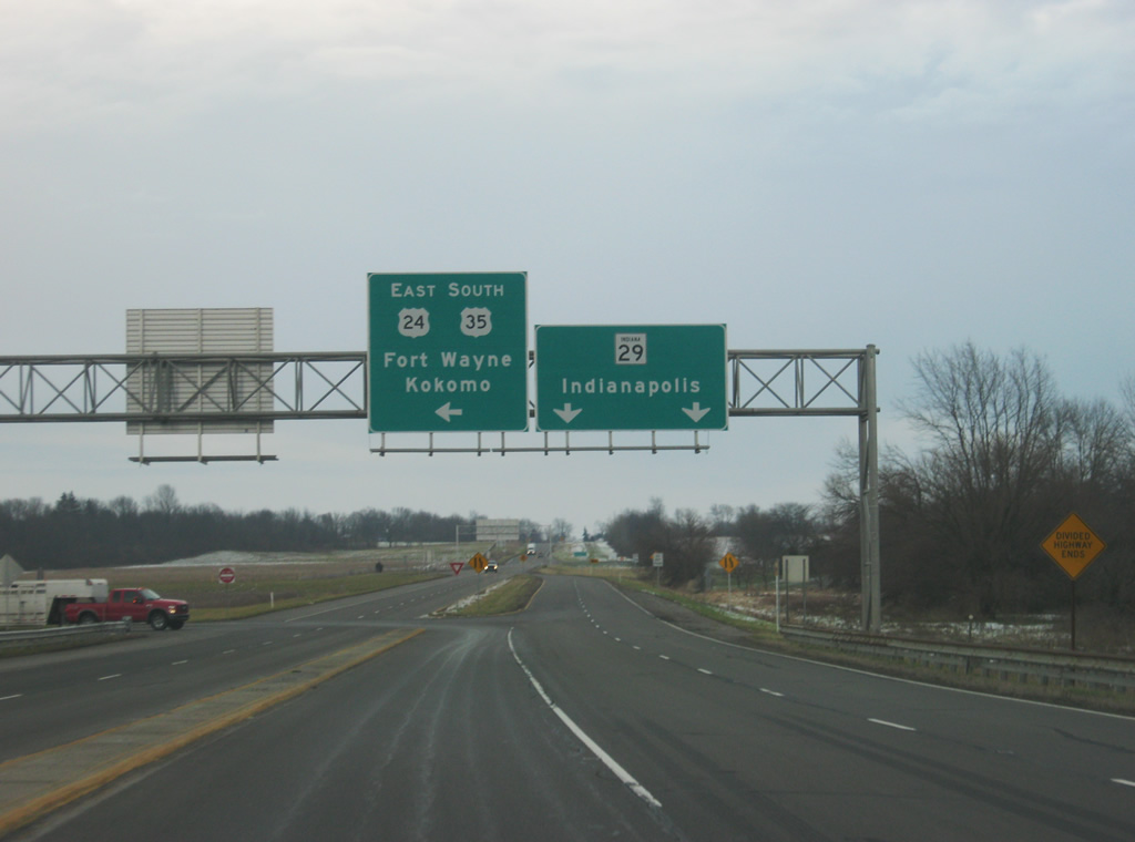
South of the interchange with SR 25, we now approach the northern terminus to SR 29. Contrary to what the sign indicates, SR 29 never reaches Indianapolis, it travels for 31.6 miles south through the towns of Michigantown and Burlington before ending at U.S. 421, which then heads south toward Indianapolis. U.S. 24/U.S. 35 south traffic are directed to turn toward the east to follow the next part of the bypass. The western part of the bypass was built first, followed by the section to the south. In the coming years, this intersection should be removed with a new interchange complex to be built as part of the new Hoosier Heartland corridor. The expressway corridor will flow directly into the U.S. 24/U.S. 35 bypass to the east.
12/28/10
We now head east along U.S. 24/U.S. 35 along the southern part of Logansport. The bypass is now crossing over Burlington Road, one of the two roads (along with SR 29) that will be served by the new aforementioned interchange to the south. That said, the future of this stretch of the bypass is in doubt as the new U.S. 24/U.S. 35 will likely come in from just south of this location before flowing back into the current bypass.
04/13/10
Officially, U.S. 24/U.S. 35 crosses into the city of Logansport, but there are very few signs of civilization on the far southern fringes of town. Those wanting to go into town will have to venture off the bypass toward the north, since there will be no motorists services until Peru. The upcoming intersection is with Humphrey Street, which leads toward Downtown Logansport.
04/13/10
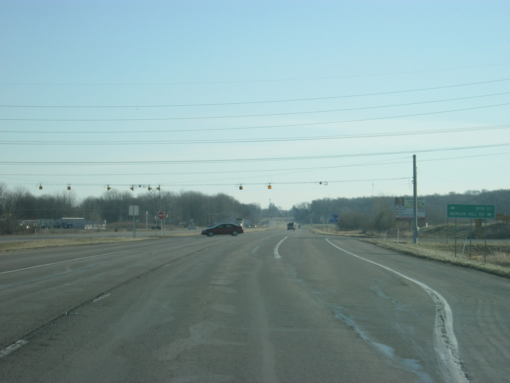
East of the Humphrey Street intersection, the next crossing is with 18th Street and Morgan Hill Road. 18th Street heads north into the east side neighborhoods of Logansport and provides the best connection to the main commercial corridor along Business U.S. 24 (Market Street) on the east side of town. Just east of is this intersection is the location where old U.S. 35 flows back onto the bypass. It is there that the bypass now follows the original routing of U.S. 35.
04/13/10
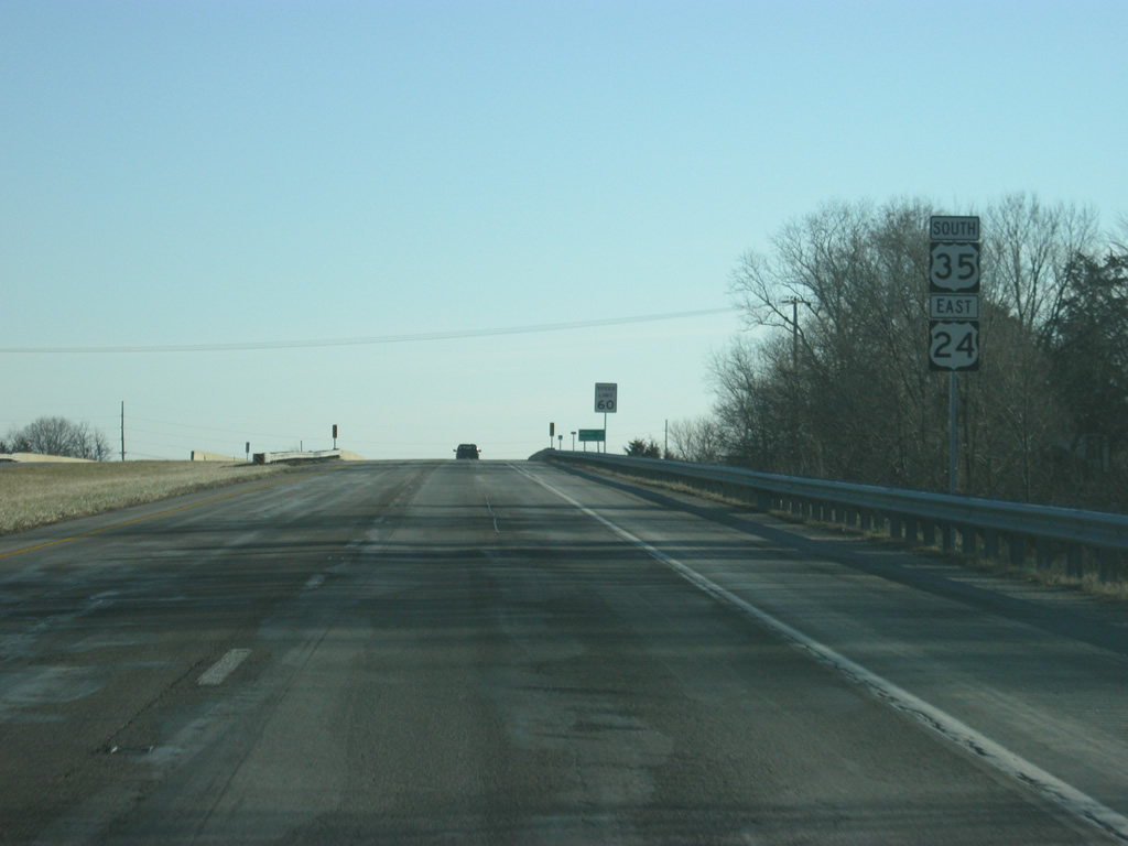
The U.S. 24/U.S. 35 bypass now heads up a small hill as it approaches the split between the two US highways. At this point, we are now just west of Anoka.
04/13/10
Eastbound at the point where U.S. 24 breaks off toward the east in the direction of Fort Wayne. Meanwhile, U.S. 35 continues straight ahead where reduces to two lanes and continues its trek toward the Howard County seat of Kokomo, via the towns of Walton and Galveston.
12/28/10
East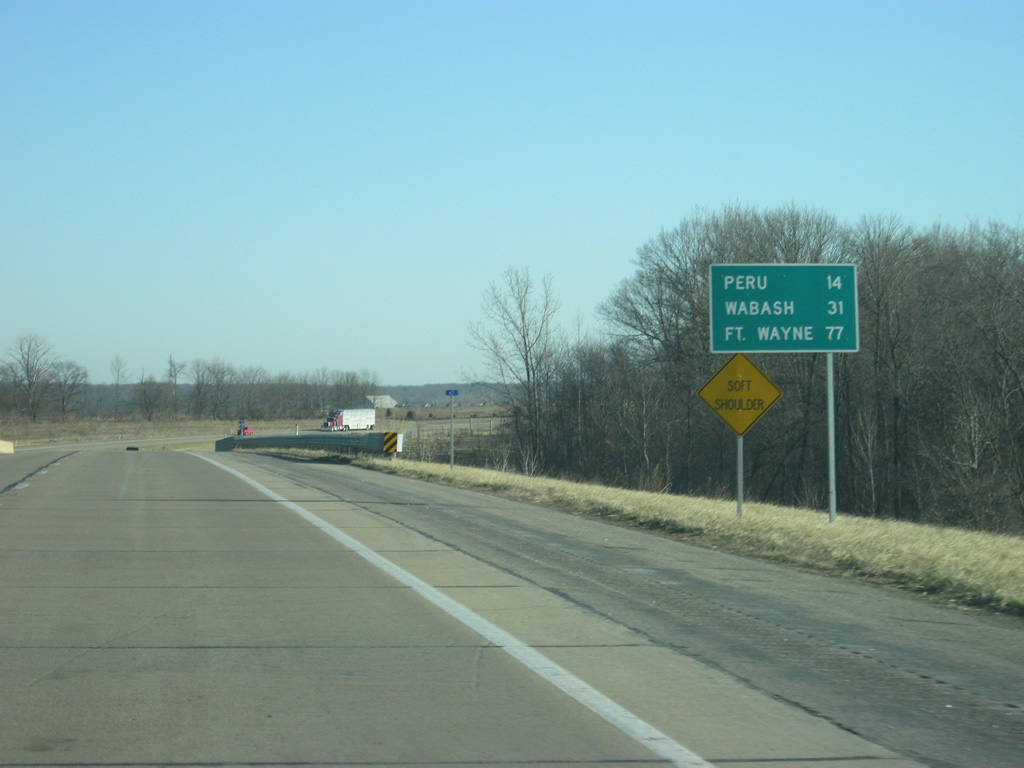
U.S. 24 now follows a new four lane alignment to the north of U.S. 35 in the direction of Peru (14 miles away), Wabash (31 miles away) and Fort Wayne (77 miles away).
04/13/10
East of U.S. 35, U.S. 24 is a four lane expressway that passes by the southeastern part of Logansport. Traffic counts are rather low on U.S. 24, but with the completion of the SR 25 expressway that may increase.
04/13/10
Passing the intersection with U.S. 24 and County Road 600 East, serving the eastern fringes of Logansport to the north.
04/13/10

Heading toward the crossing over the Wabash River along U.S. 24 east, beyond the intersection with County Road 700 East. The expressway portion of U.S. 24, from U.S. 35 to the Peru area, was only finished around 2000.2 This four lane roadway bypassed the two lane highway that went through the city of Logansport and east toward Peru.
04/13/10
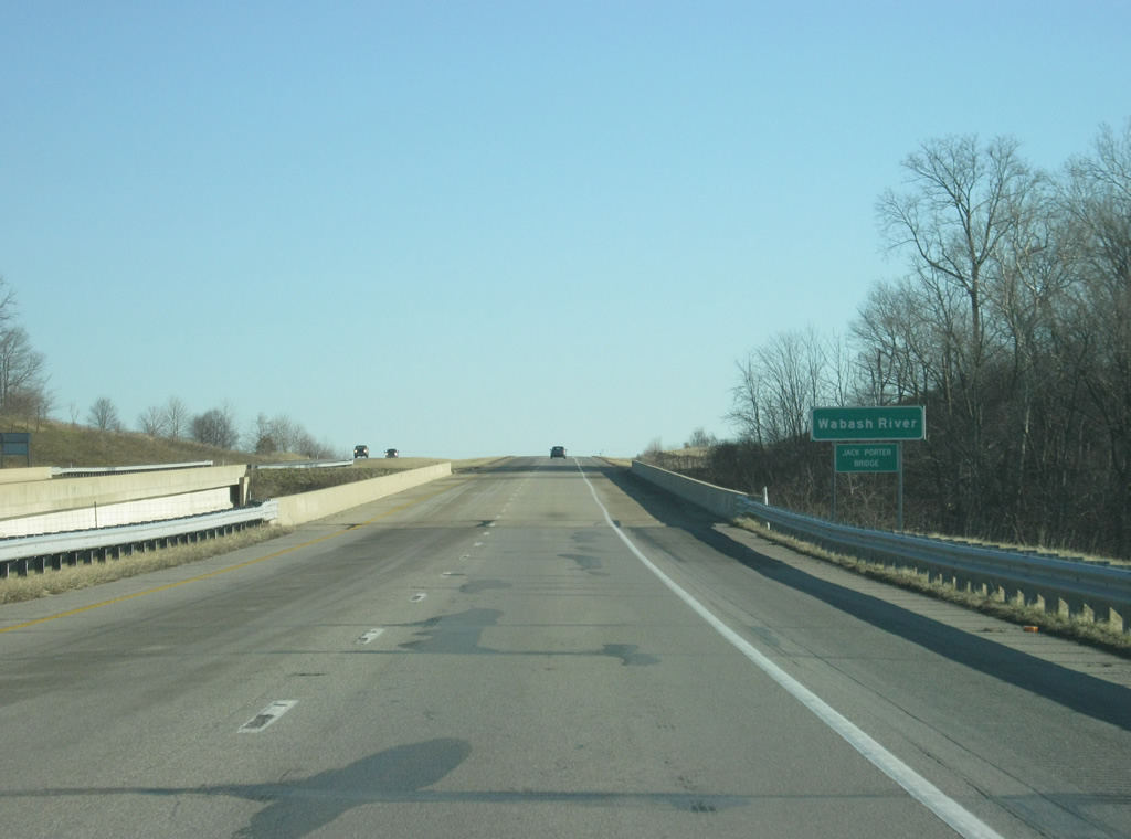
U.S. 24 spans the Jack Porter Bridge over the Wabash River at its second crossing of the waterway. Interestingly, the bridges over the Wabash River were finished in 1994 without any connection to U.S. 24, which remained a two lane highway to the north. The bridges were linked with U.S. 24 in earnest upon completion of the Logansport to Peru stretch in 1998.
04/13/10
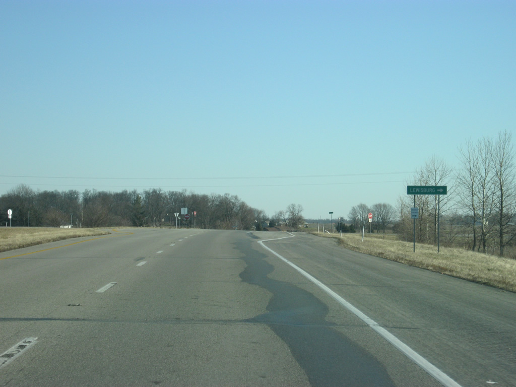
U.S. 24 at the intersection of County Road 875 East. The local road leads south to the town of Lewisburg.
04/13/10

U.S. 24 enters the intersection with Logansport Road, which is the old U.S. 24. The old U.S. 24 corridor continues eastward toward the city of Peru while the present-day expressway branches toward the northeast. U.S. 24 remains north of its former alignment from this point onward.
04/13/10
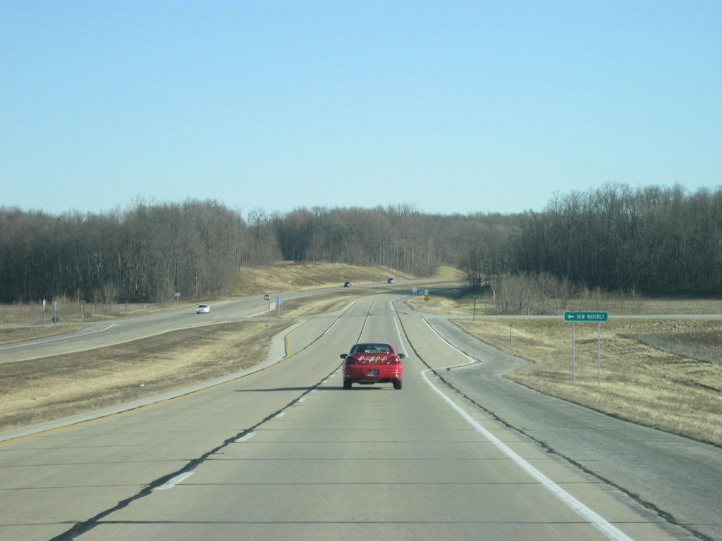
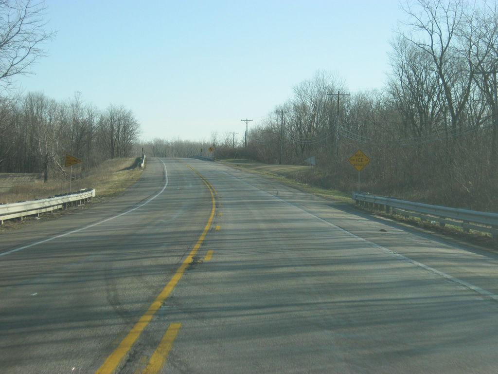
Northeast of the intersection with Logansport Road (old U.S. 24), U.S. 24 passes the intersection with County Road 500 West. The road heads north to Division Road, which goes west to the town of New Waverly.
04/13/10

U.S. 24 crosses into Miami County (population 36,903).
04/13/10

References:
- PowerPoint presentation on the INDOT website.
- "Indiana committed to making U.S. 24 safe." Toledo Blade, March 30, 1997.
Photo Credits:
- Thomas Decker: 05/28/09, 03/19/10, 04/13/10, 05/13/10, 12/28/10
Page Updated Wednesday March 28, 2012.