
U.S. 24 West - Cass & White Counties
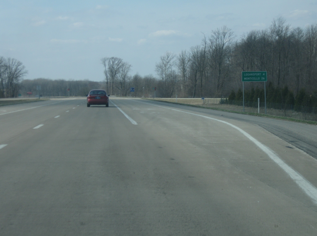
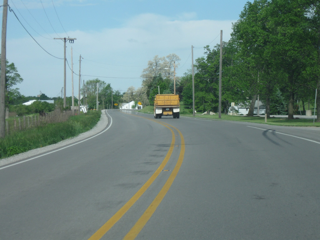
We continue U.S. 24 in Cass County along the bypass with U.S. 35 on the south side of Logansport (population 18,396). U.S. 35 runs for 210 miles across Indiana from Michigan City to the north through LaPorte, Logansport, Kokomo, Gas City, Muncie and Richmond before heading east into Ohio. Nationally, the highway goes for 412 miles to the southeast toward Interstate 64 in West Virginia. Still, Downtown Logansport is four miles away with Monticello at 26 miles away.
05/30/10
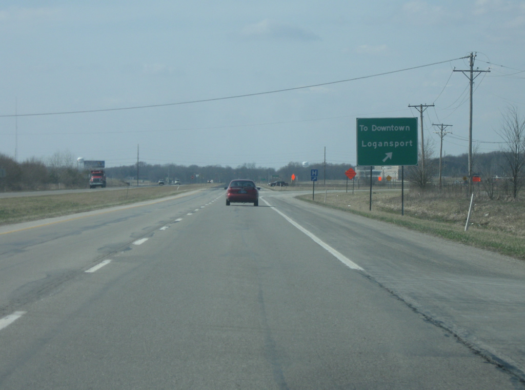
Heading west along U.S. 24/U.S. 35 north, a slip ramp directs travelers onto Old State Road 435 in the direction of Downtown Logansport. Decommissioned in the early 2000s, Old State Road 435 had originally followed the routing of U.S. 35 before highway was bypassed to the west and south of Logansport.
05/30/10
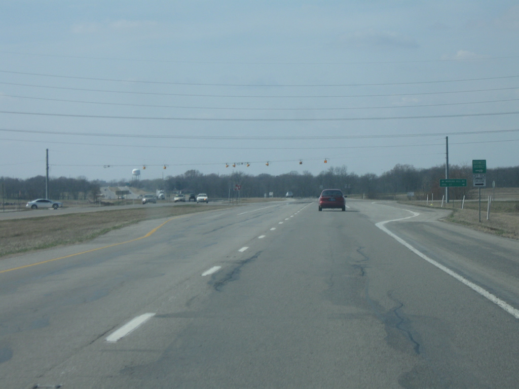
West of the slip ramp for Old State Road 435, the next crossing is with 18th Street and Morgan Hill Road. 18th Street heads north into the east side neighborhoods of Logansport and provides the best connection to the main commercial corridor along Business U.S. 24 (Market Street).
03/19/10
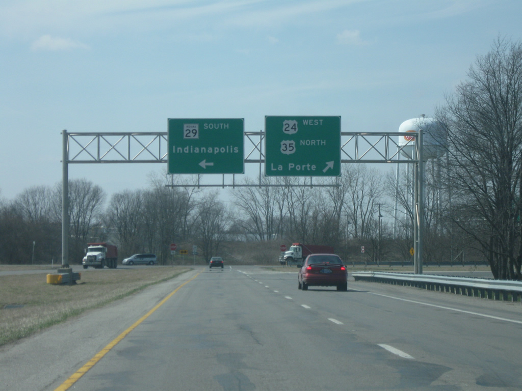
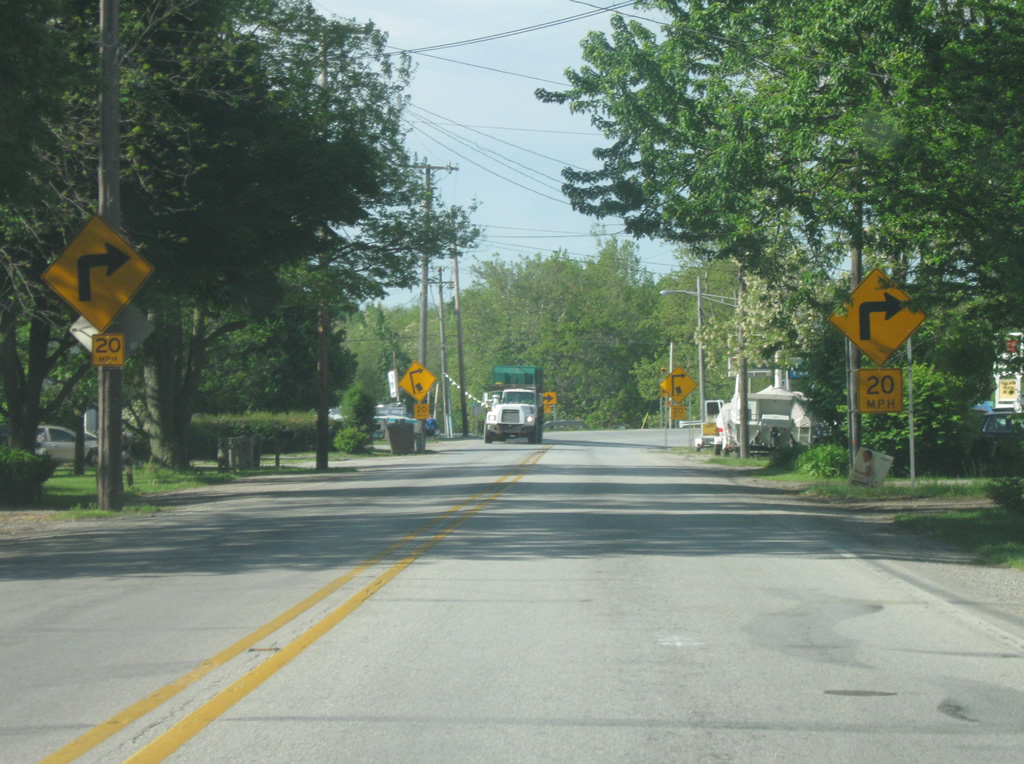
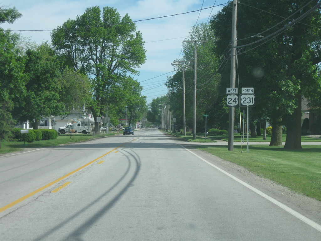
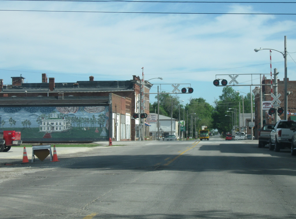
We now approach the northern terminus of SR 29. Contrary to what the sign indicates, SR 29 never reaches Indianapolis, it travels for 31.6 miles south through the towns of Michigantown and Burlington before ending at U.S. 421, which then heads south toward the capital city. U.S. 24 west/U.S. 35 northbound traffic are directed to turn toward the right to follow the next part of the bypass. The western part of the bypass was built first, followed by the section to the south. In the coming years, this intersection should be removed with a new interchange complex that will be built with the new Hoosier Heartland corridor that will flow directly into the U.S. 24/U.S. 35 bypass to the east.
03/19/10
North of the interchange with SR 29 south, U.S. 24 & 35 continue north past the communities of Monticello and LaPorte respectively.
03/19/10
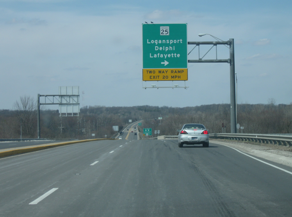
A folded diamond interchange appears at the junction with SR 25. SR 25 runs for 123 miles from Waynetown northeast through Lafayette, Delphi, Logansport and Rochester before ending at SR 15 in Warsaw. INDOT is currently upgrading SR 25 from Lafayette to Logansport as part of the Hoosier Heartland Industrial Corridor. SR 25 travels 32 miles southwest from Logansport to Lafayette parallel to a Norfolk Southern Railroad line. The state road bypasses, or will bypass as part of the expressway upgrade project, several towns along the way including Clymers, Burrows, Rockfield, Delphi and Americus.
03/19/10

North of the interchange with SR 25, U.S. 24 crosses the Wabash River for the final time.
03/19/10
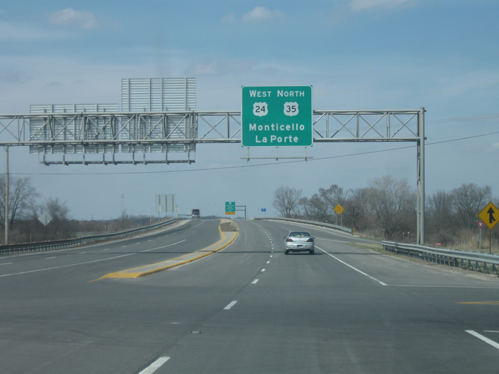
We now get to the point where U.S. 24 will break off and head west toward Monticello. To the east, Business U.S. 24 follows Market Street into the city of Logansport. Until 2000, U.S. 24 was routed town along Market Street. The highway was rerouted upon completion of the U.S. 24 expressway from U.S. 31 in Peru to U.S. 35 southeast of Logansport. Northward, U.S. 35 continues toward Winamac, Knox, LaPorte and Michigan City.
03/19/10
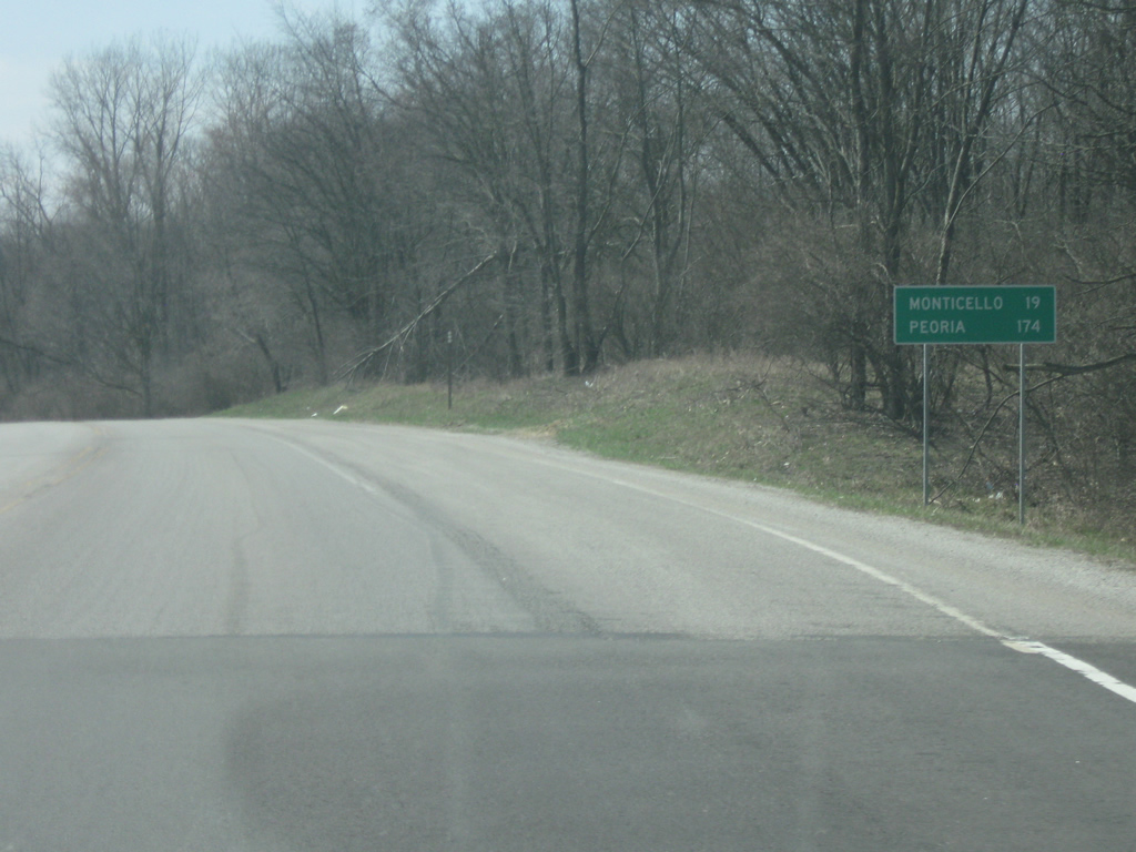
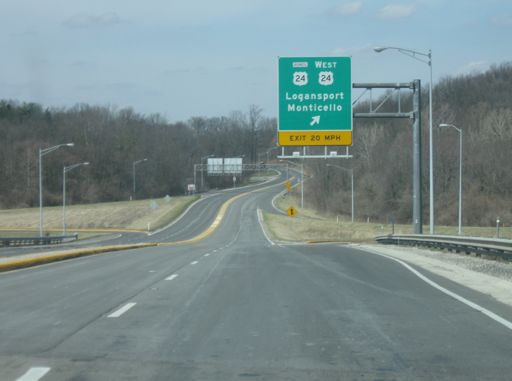
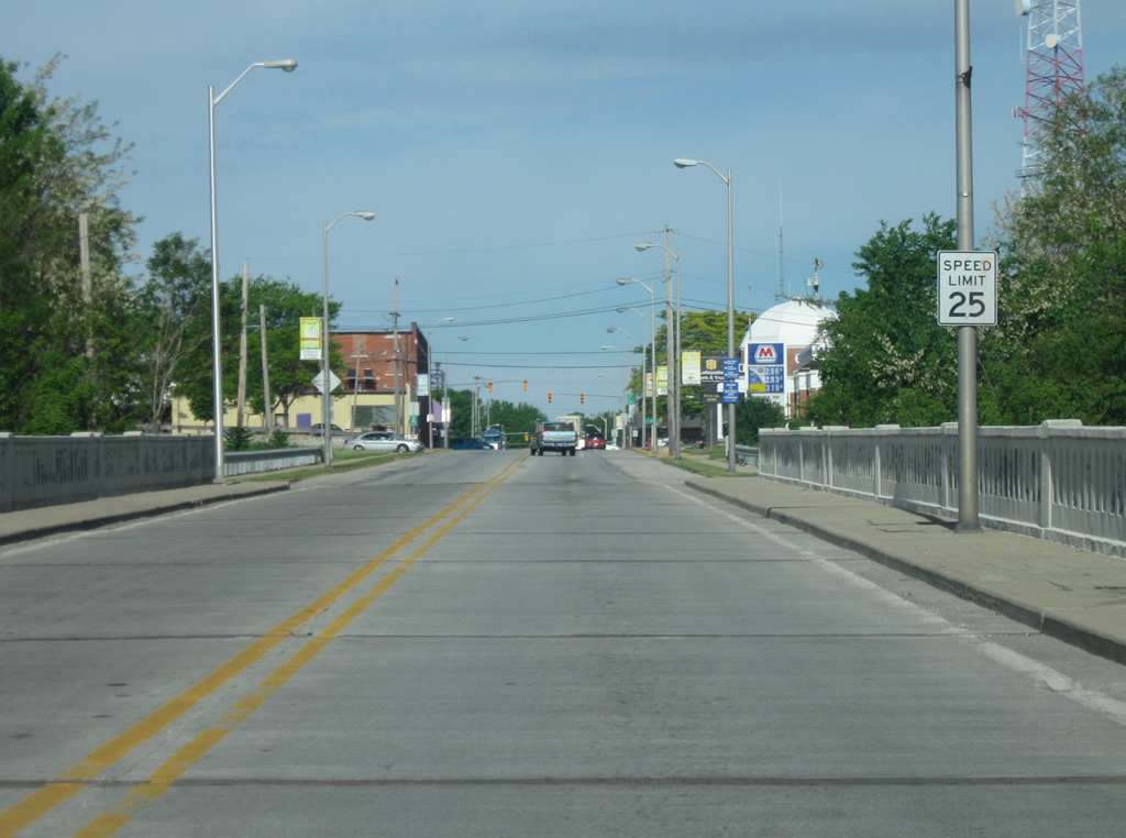
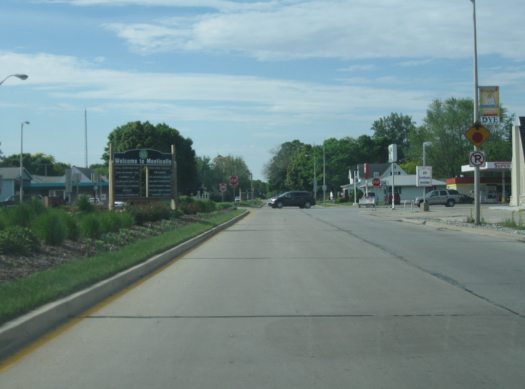
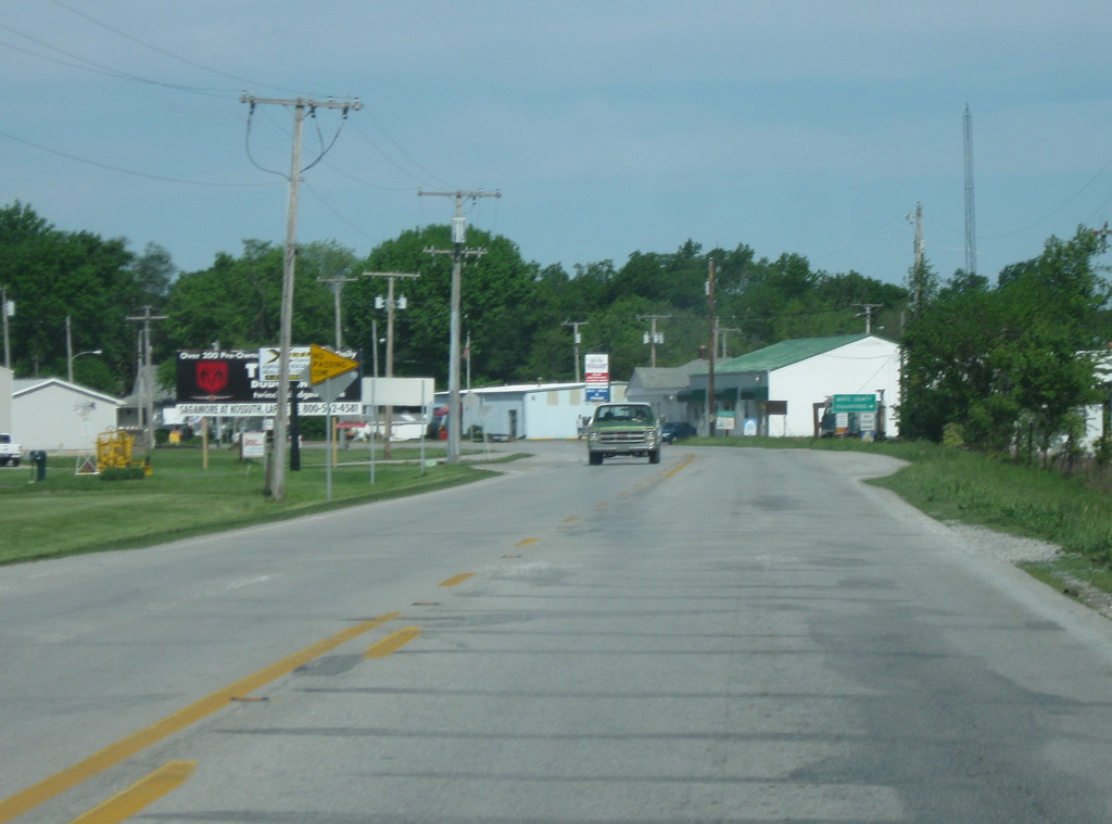
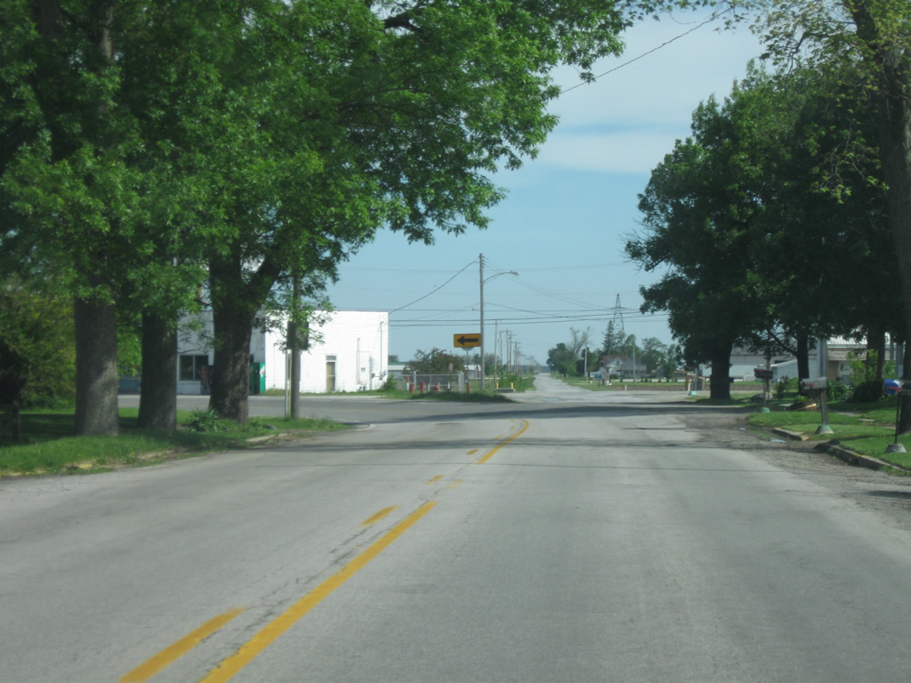
West of U.S. 35, U.S. 24 becomes a two lane highway, which it remains for the rest of its trip across Indiana. Monticello is the next major community at 19 miles away. Additionally, the city of Peoria, Illinois makes its first appearance as the control city for U.S. 24 westbound.
03/19/10
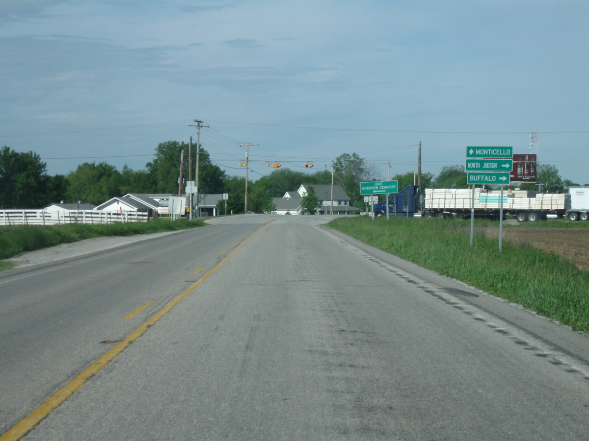
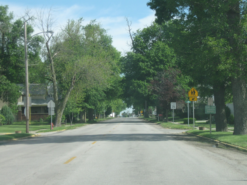
Heading west of U.S. 24 in central White County, we approach the junction with SR 39 north. SR 39 runs for nearly 180 miles from SR 37 at Martinsville north past Danville, Lebanon, Frankfort, Delphi, Monticello and LaPorte before ending at M-239 near Interstate 94 just inside the Michigan state line. Here, the highway heads to the north toward the towns of Monon, North Judson and Buffalo.
05/13/10
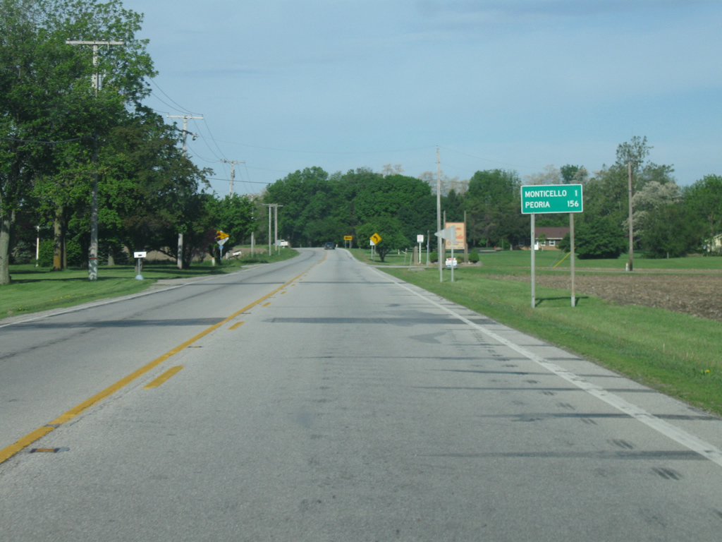
To the west of the junction with SR 39 north, SR 39 south multiplexes with U.S. 24 into the city of Monticello, which is one mile away. Peoria is now 156 miles away.
05/13/10
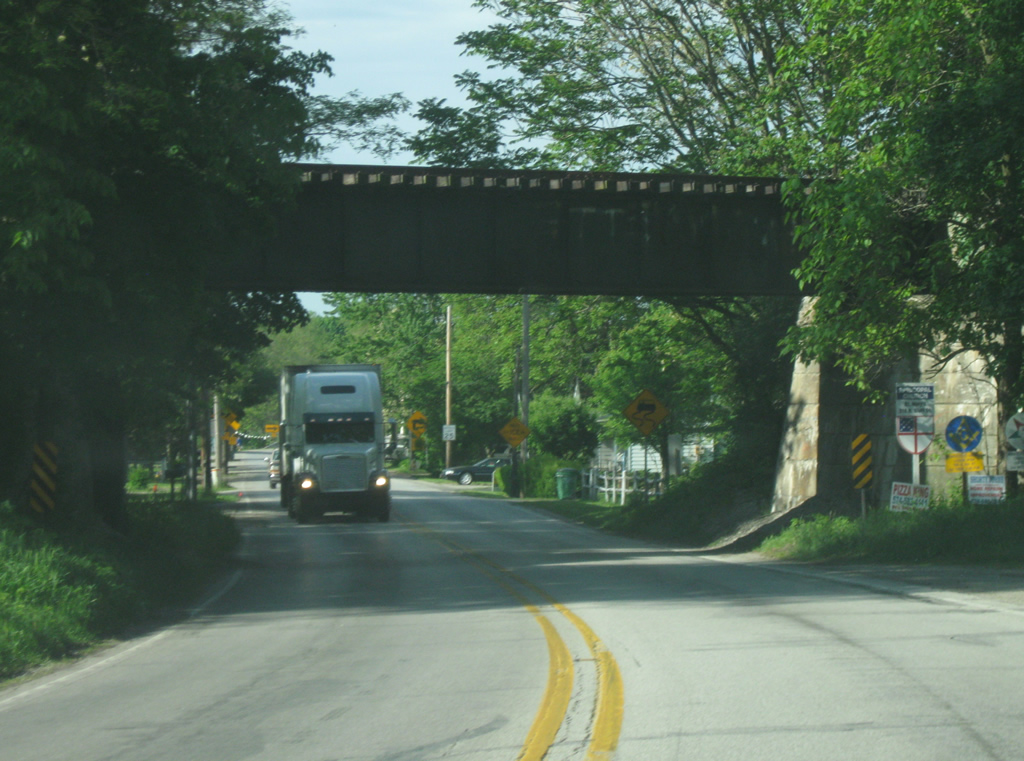
U.S. 24 west & SR 39 south pass underneath the Toledo, Peoria and Western Railway bridge into East Monticello.
05/13/10
U.S. 24 & SR 39 enter the city of Monticello (population 5,378). Monticello is the county seat and largest community in White County that is best known for the Indiana Beach amusement park and resort that greets many visitors to the area each summer. The area around Monticello is known as the Twin Lakes after the two man-made lakes of Shafer and Freeman that are north and south of the city respectively. Here, the highway makes a sharp turn to the right to cross the bridge over the Tippecanoe River into Downtown Monticello.
05/13/10
U.S. 24 & SR 39 enter Downtown Monticello on a bridge across the Tippecanoe River. This bridge is slated for replacement by a newer span that will be placed just north of the current bridge. This new bridge is part of a project that will also realign the highway to the east of the river, eliminating the sharp turn to the east. Construction will begin in 2013 with completion expected in 2015. The first stoplight ahead is with Main Street, which heads north toward the Indiana Beach area.
05/13/10
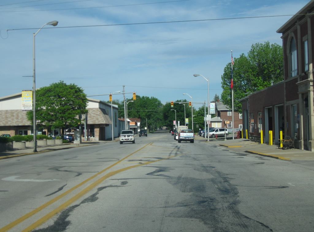
Now in the main part of Monticello, U.S. 24 west & SR 39 south follow Washington Street toward the intersection with Illinois Street, which carries traffic southbound through Downtown Monticello. Until the mid-2000s, Illinois and Main Streets carried two-way traffic, but the patterns were changed into a couplet of one way streets.
05/13/10
We now reach the point where U.S. 24 west & SR 39 south turn south from Washington Street onto the boulevard-like road Railroad Street.
05/13/10
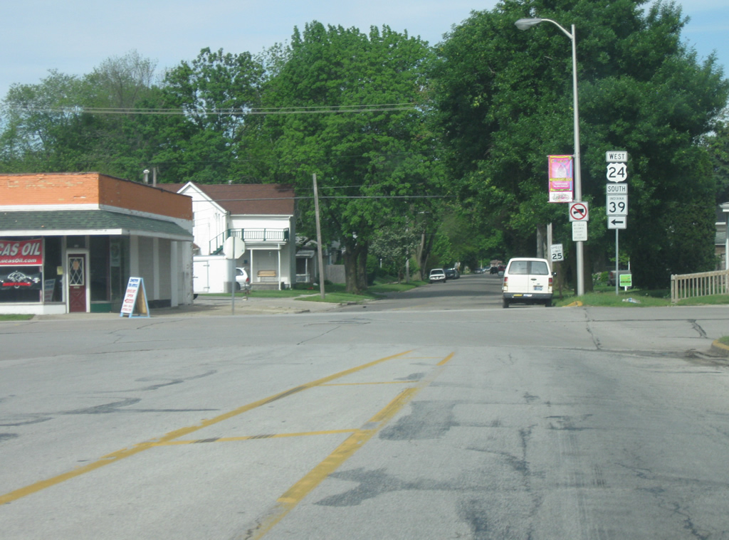
U.S. 24 heads south for one block along Railroad Street to Broadway Street, which carries the highway to the west of town. At the stop sign, U.S. 24 picks up U.S. 421 while SR 39 breaks off to the south. U.S. 421 travels for 232 miles across Indiana from Michigan City to the north through Reynolds, Monticello, Frankfort, Indianapolis, Shelbyville, Greensburg, Versailles and Madison. Nationally, the highway goes for 941 miles from Michigan City to Wilmington, North Carolina.
05/13/10
Now following Broadway Street, U.S. 24 west & U.S. 421 north heads west into the commercialized part of Monticello. The stoplight ahead is with 6th Street, which goes to the north toward Lake Shafer and the Indiana Beach amusement park.
05/13/10
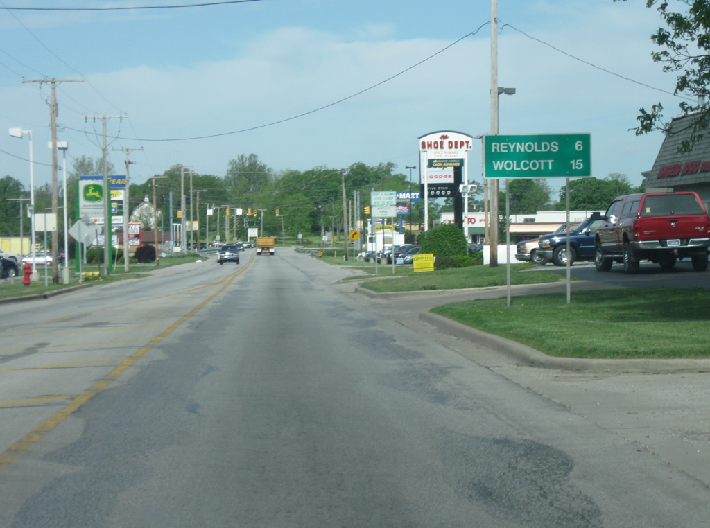
West of the 6th Street intersection, U.S. 24 & U.S. 421 (Broadway Street) is six miles from Reynolds and 15 miles to Wolcott, both communities are in western White County.
05/13/10
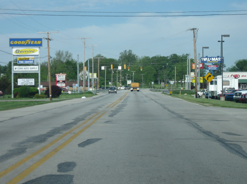
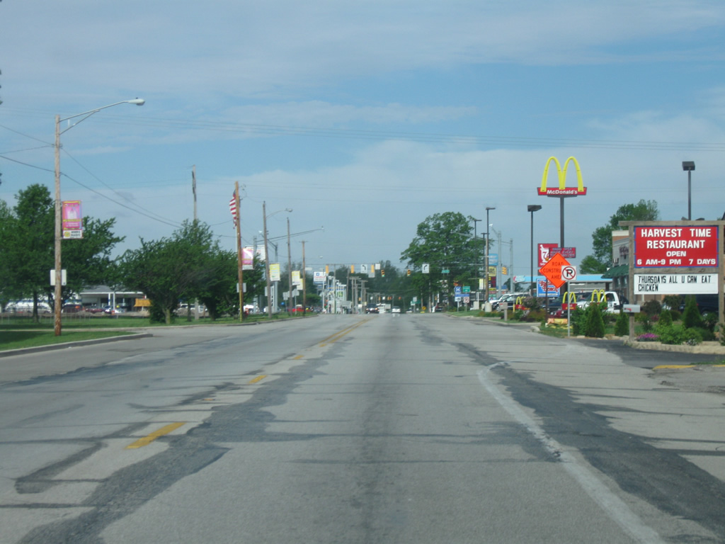
U.S. 24 west & U.S. 421 north (Broadway Street) pass by some shopping centers as they leave the west side of Monticello. The stretch of U.S. 24 from Monticello to Reynolds, which coincides with the multiplex with U.S. 421, has higher traffic counts than the rest of the highway across White County, hence the retail corridor.
05/13/10
U.S. 24 west & U.S. 421 north makes some turns as they head west out of the Monticello area toward the community of Reynolds.
05/13/10
U.S. 24 enters the town of Reynolds (population 533). Nicknamed Bio-Town USA, Reynolds was a part of a pilot program to have the town run on locally-produced alternative energy. The wind farms that were present in Benton County follow a path westward from Reynolds, staying south of U.S. 24. In town, U.S. 24 follows 2nd Street.
05/13/10
U.S. 24 & U.S. 421 follow 2nd Street through the heart of Reynolds and near the intersection with SR 43 south (Kenton Street).
05/13/10
U.S. 24 splits with U.S. 421 at the intersection with SR 43 south (Kenton Street). SR 43 heads south 22.75 miles toward the Tippecanoe County seat of Lafayette, via Chalmers, Brookston and Battle Ground. A second segment of the state road exists for 23.5 miles in Owen and Greene Counties. The communities of Monon and Michigan City can be reached via U.S. 421 to the north.
05/13/10
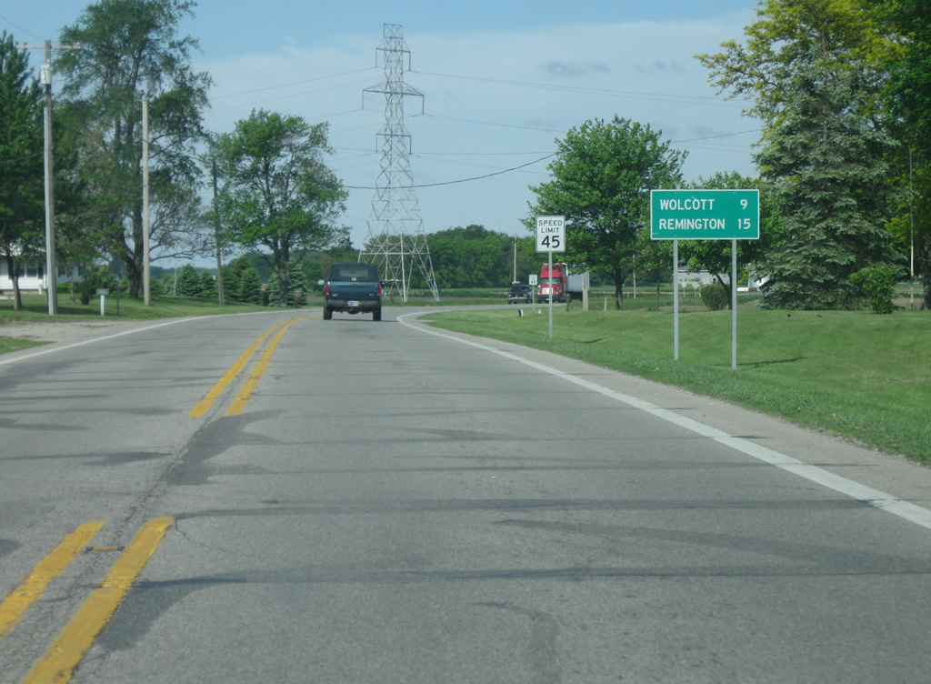
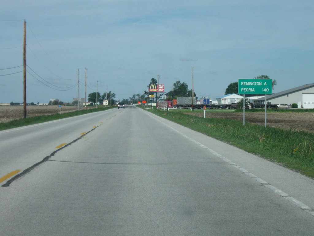
Now leaving the town of Reynolds, U.S. 24 is by itself again while nine miles from Wolcott and 15 miles from Remington.
05/13/10
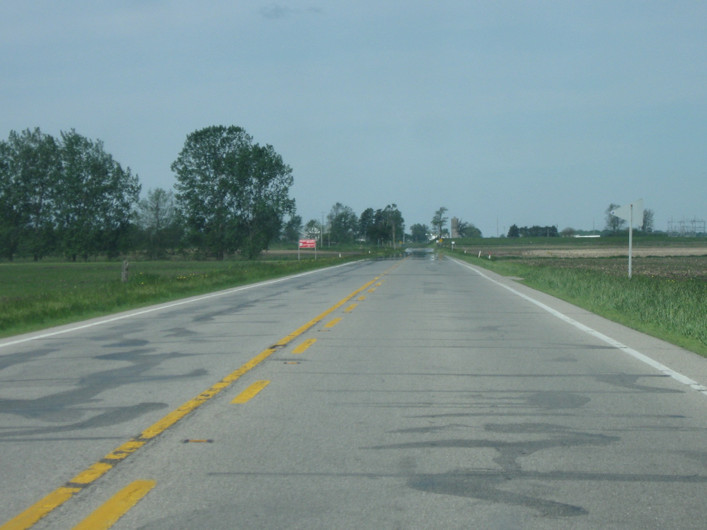
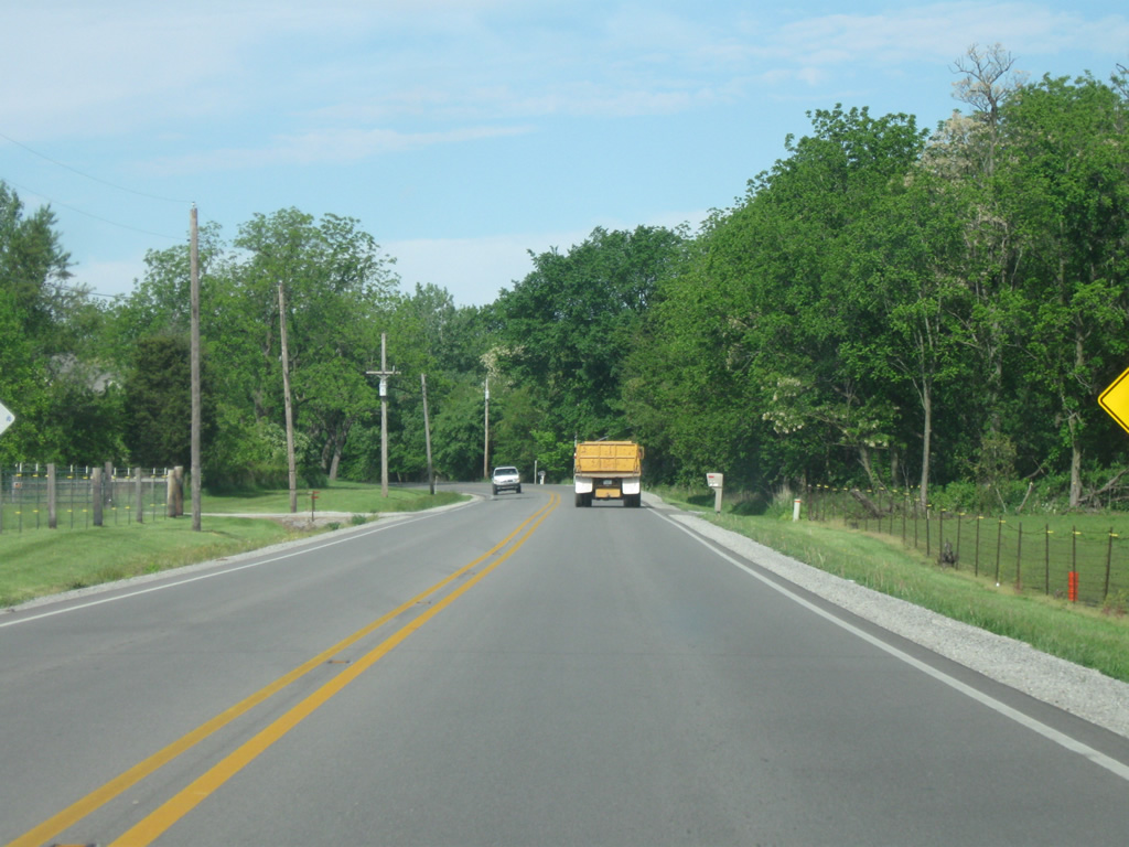
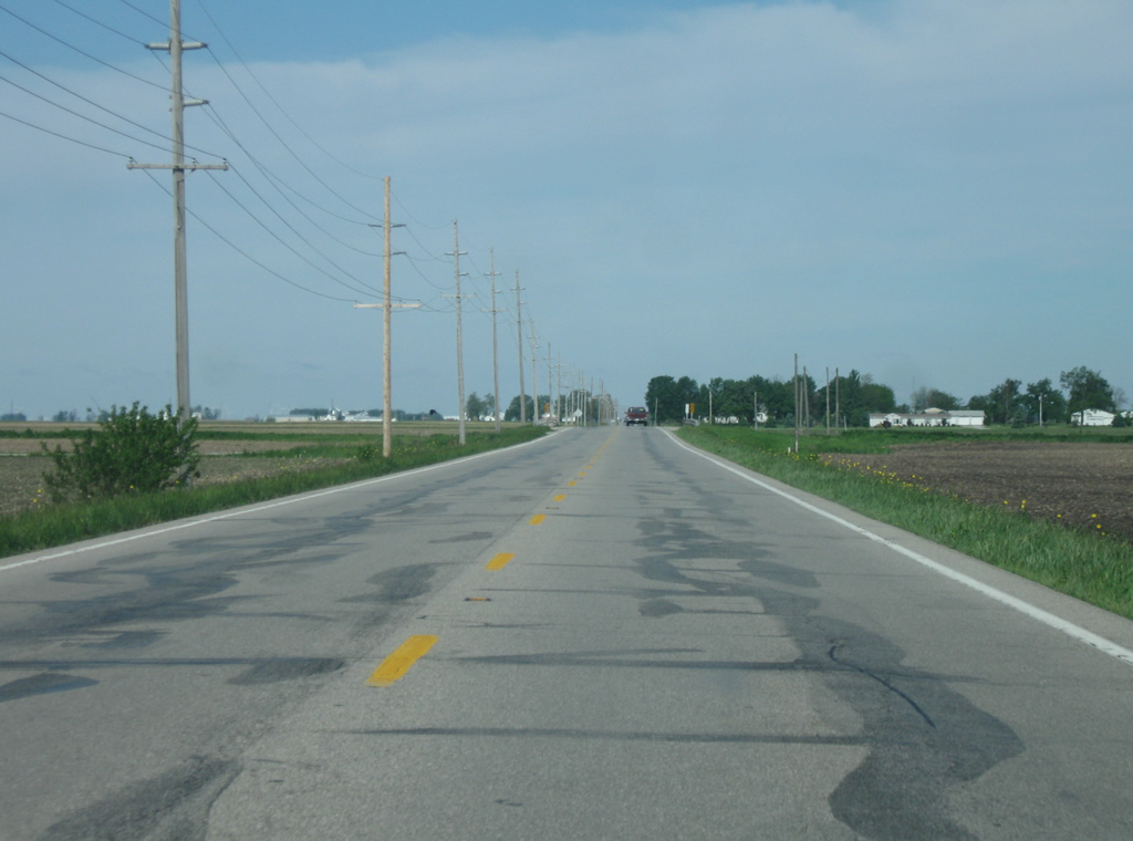
West of Reynolds, U.S. 24 follows a straight path toward the west across the agricultural fields of White County.
05/13/10
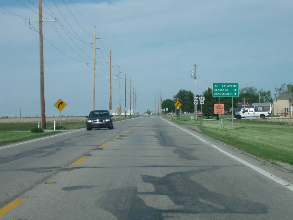
Ahead is the junction with U.S. 231, which will multiplex with U.S. 24 into the town of Wolcott. U.S. 231 goes for 297 miles across Indiana from St. John at U.S. 41 southeast through Crown Point, Rensellaer, Remington, Lafayette, Crawfordsville, Greencastle, Spencer and Jasper before crossing into Kentucky near Owensboro. Nationally, the highway travels for 912 miles from St. John to Panama City, Florida. Lafayette is about 32 miles to the south along U.S. 231 south.
05/13/10
U.S. 24 west / U.S. 231 north make a 90-degree northward turn and enter the town of Wolcott (population 1,001). In town, the two highways follow Range Street.
05/13/10
U.S. 24 west & U.S. 231 north bisect Wolcott along Range Street, crossing the Peoria, Toledo and Western Railway in Downtown Wolcott.
05/13/10
U.S. 24 & U.S. 231 make another 90-degree turn as and leave Range Street and resume a westward course from the town of Wolcott.
05/13/10
West of Wolcott, U.S. 24 & U.S. 231 continue six miles to Remington. Peoria is now 148 miles via U.S. 24 west.
05/13/10
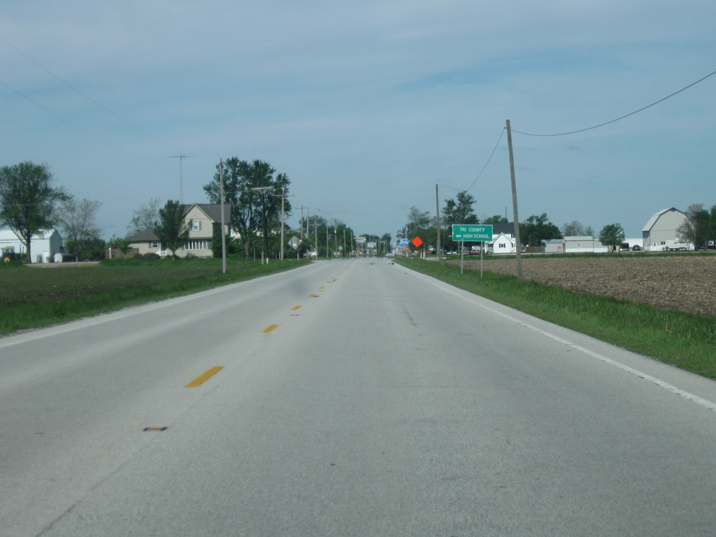
U.S. 24 west & U.S. 231 north pass by the intersection with County Road 1100 West, which heads south to Tri-County High School.
05/13/10
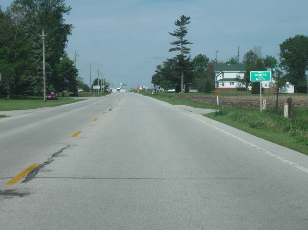
U.S. 24 & U.S. 231 cross into Jasper County (population 33,478). Upon entering Jasper County, westbound motorists enter the Central Time Zone.
05/13/10
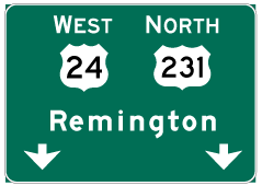
Photo Credits:
- Thomas Decker: 03/19/10, 05/13/10, 05/30/10
Page Updated Thursday August 09, 2012.