
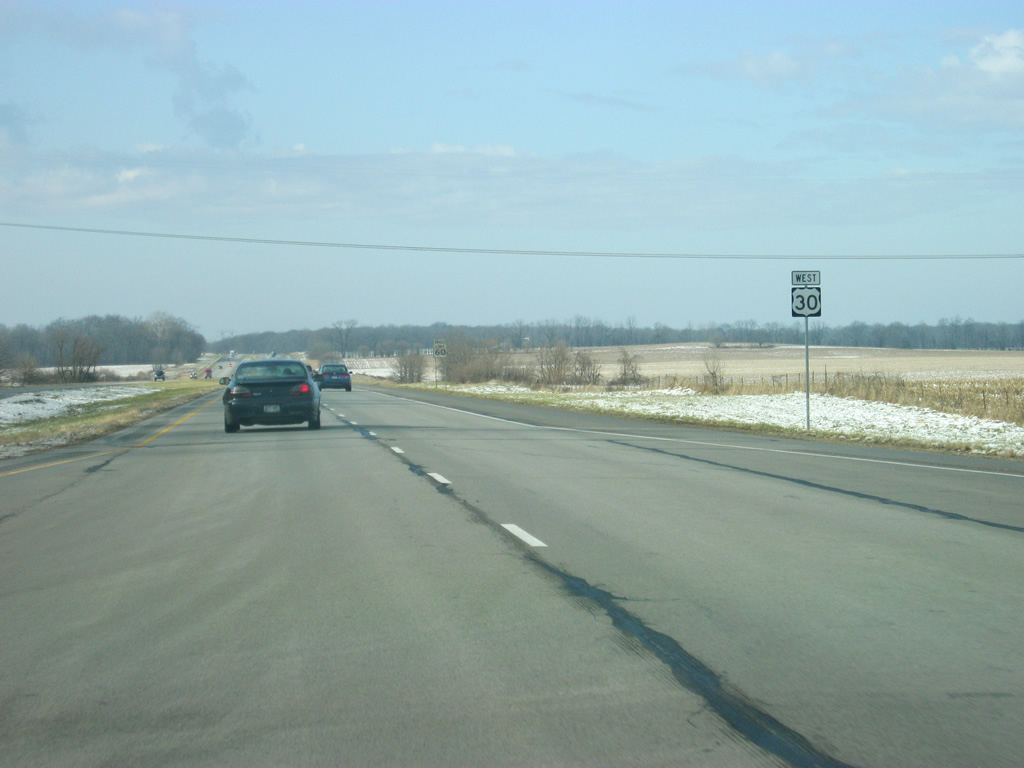
U.S. 30 West - Kosciusko & Marshall Counties
 West
West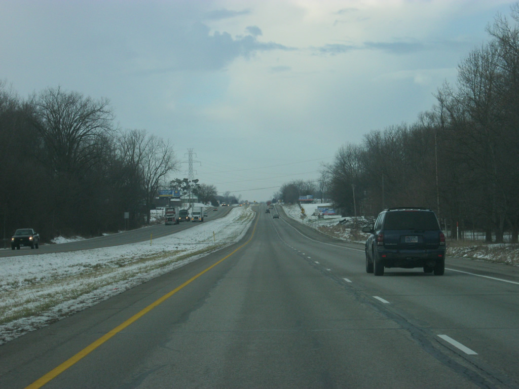
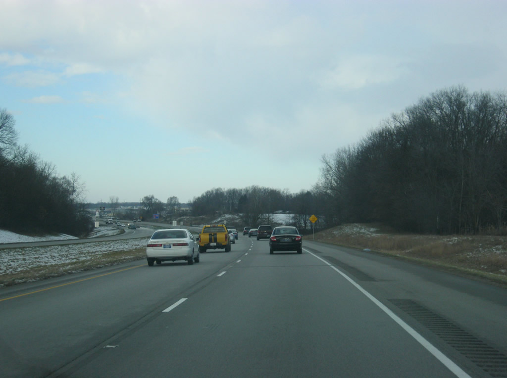
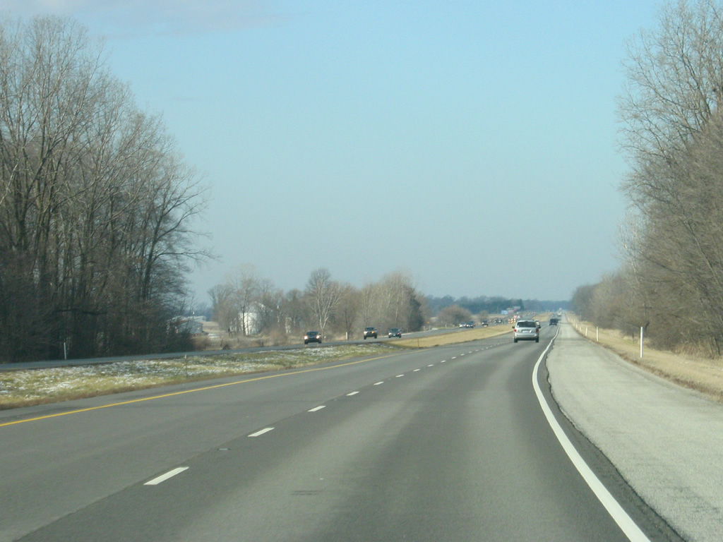
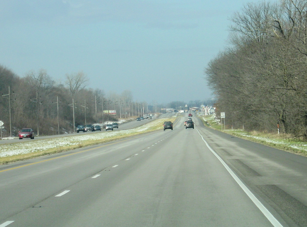
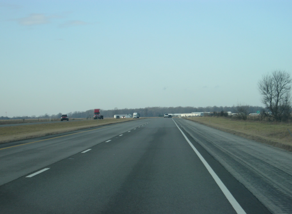
U.S. 30 remains parallel to a Norfolk Southern Railroad through a mixture of forest stands and agricultural land ahead of Pierceton.
03/24/11
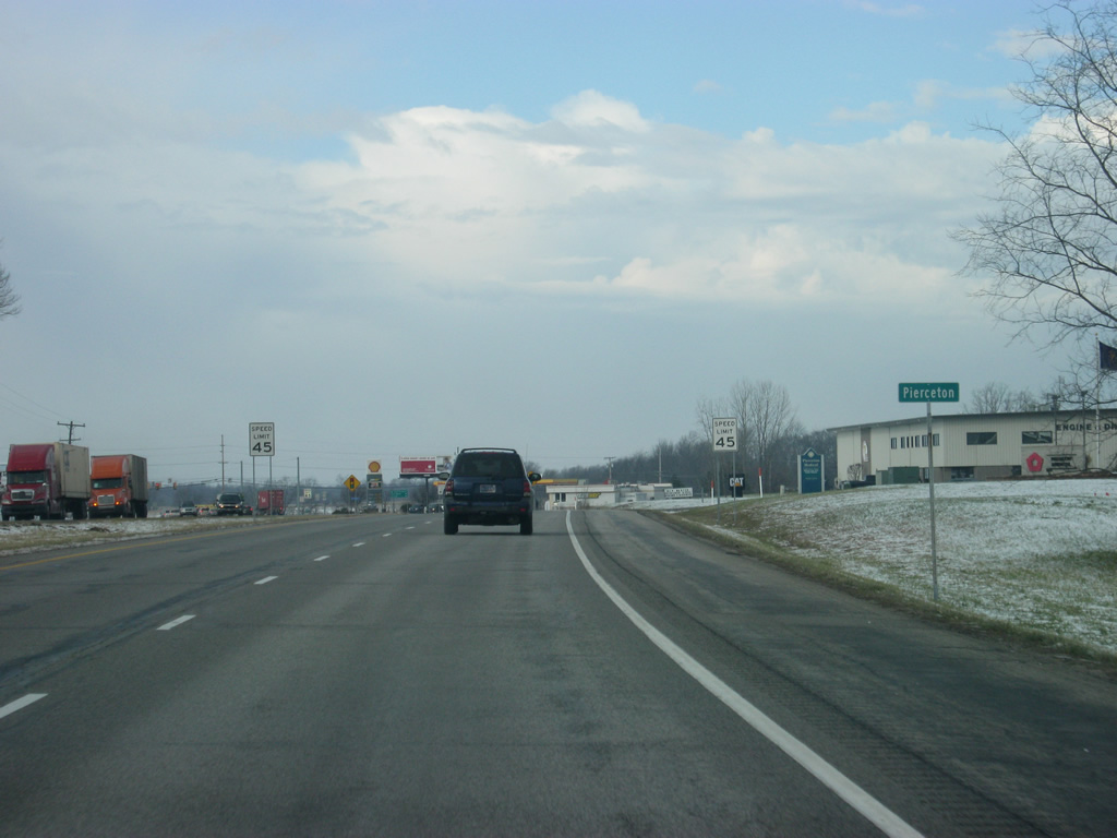
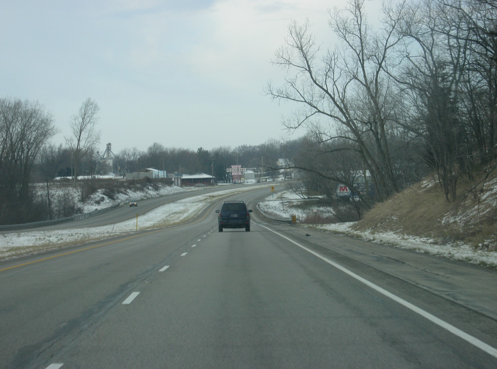
U.S. 30 enters the town of Pierceton, which the highway bypasses to the north. As with many towns along U.S. 30's route, the highway used to go into Pierceton via Old Route 30.
03/24/11
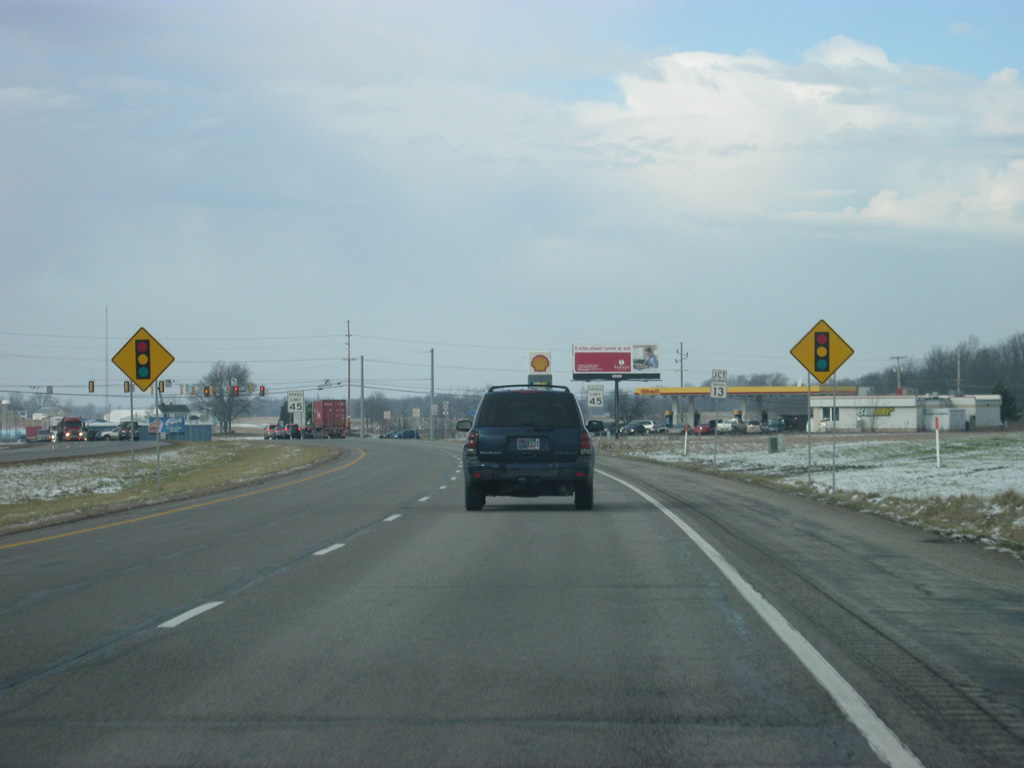
U.S. 30 approaches the junction with SR 13, which is a 138 mile highway that runs from Fortville at U.S. 36/SR 67 and heads north through Elwood, Wabash, North Manchester, Syracuse and Middlebury, ending at the Michigan state line.
03/24/11

Lake Wawasee, Indiana's largest lake and the lake towns of North Webster and Syracuse are located to the north along SR 13. The Wabash County town of North Manchester is located to the south.
03/24/11
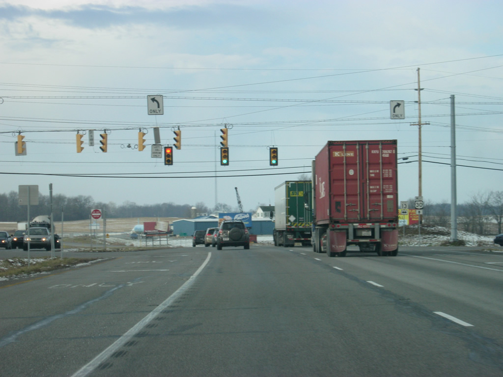
Now at the junction with U.S. 30 and SR 13, which follows Main Street southward through Pierceton.
03/24/11
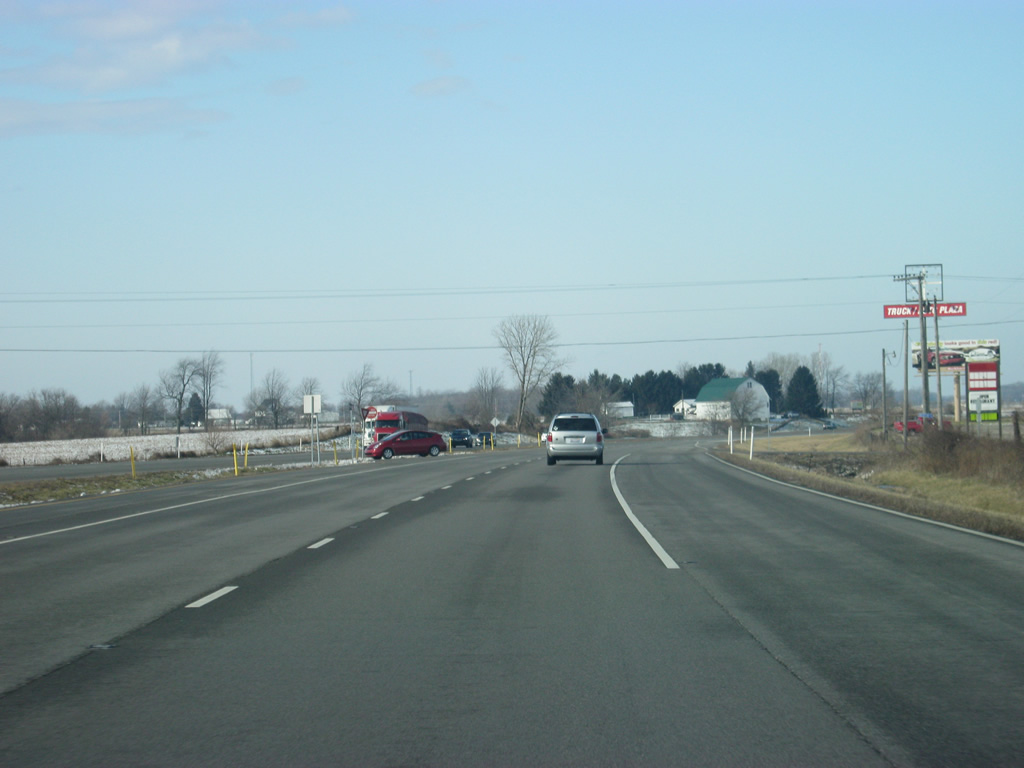
West of Pierceton and the junction with SR 13, U.S. 30 crosses the eastern half of Kosciusko County en route toward Warsaw, which is only a few miles from Pierceton.
03/24/11
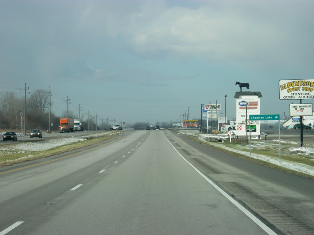
U.S. 30 at the intersection with County Road 325 East, leading north to Chapman Lake.
03/24/11
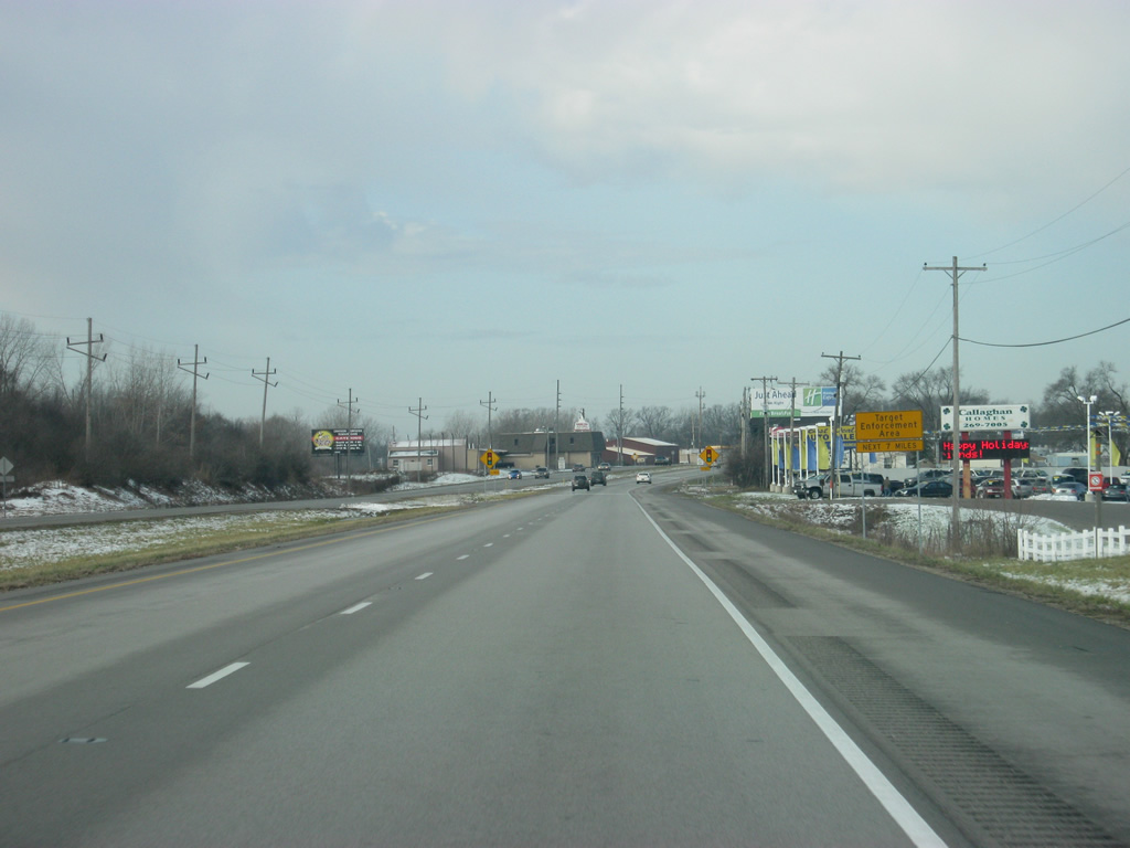
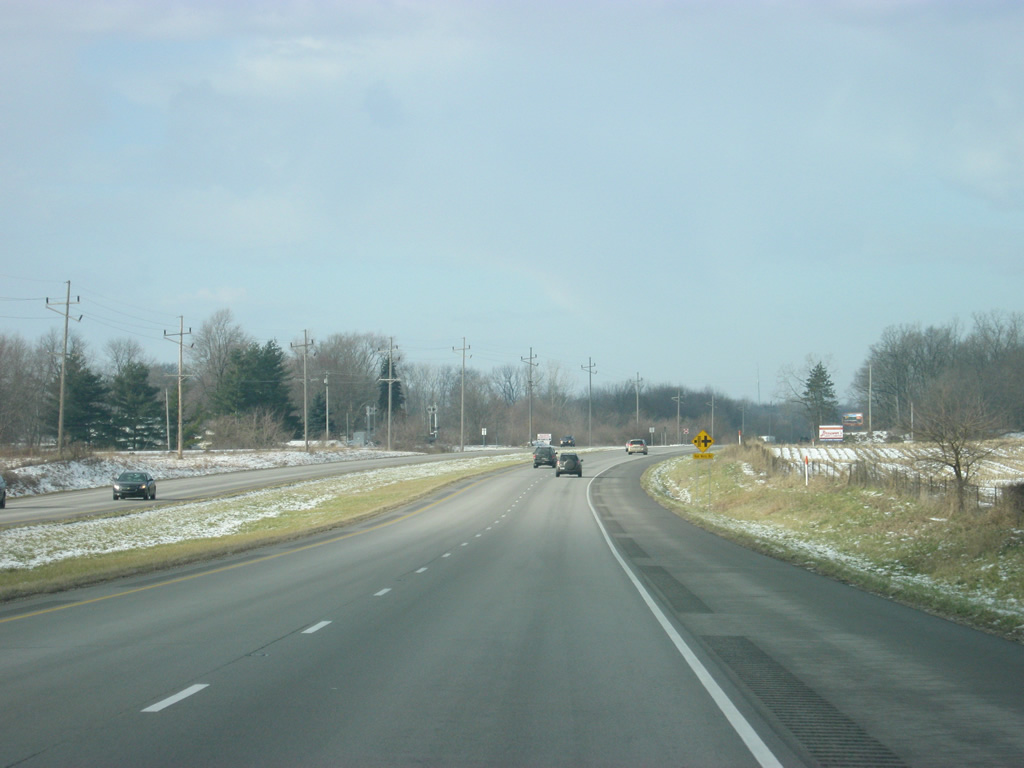
Westbound U.S. 30 traffic is warned about increased traffic enforcement along the next seven miles of U.S. 30 in the Warsaw area. Warsaw is the largest community along U.S. 30 between Fort Wayne and Valparaiso. U.S. 30 through the city is named Lake City Highway, though referring to the route as simply US 30 is more common. As with Columbia City, semi-trucks will be regulated to the right lane of U.S. 30.
03/24/11
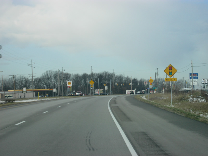
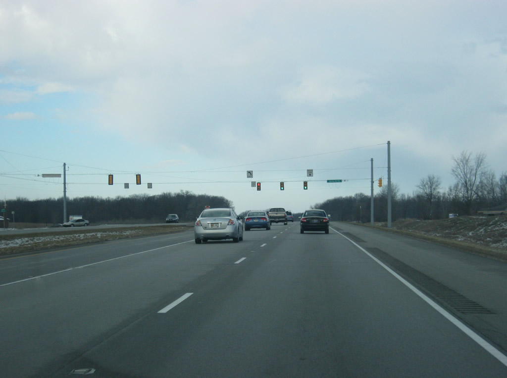
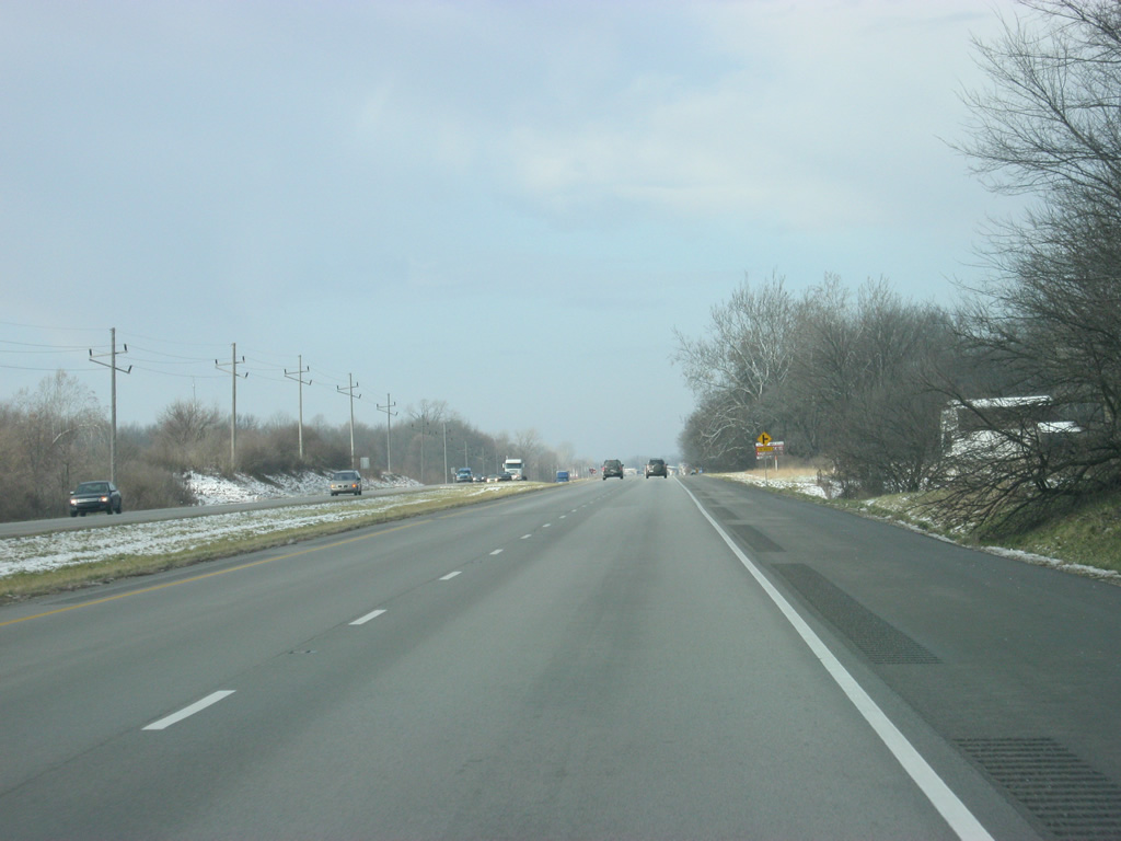
The first stoplight in the Warsaw area along U.S. 30 (Lake City Highway) serves County Road 250 East. Advisory signs ahead warn of potential congested traffic along U.S. 30 (Lake City Highway) for the next few miles.
03/24/11
Now at the stoplight intersection with County Road 250 East. County Road 250 East passes by Ivy Tech Community College's Warsaw campus and the eastern parts of the town of Winona Lake, which is adjacent to Warsaw.
03/24/11
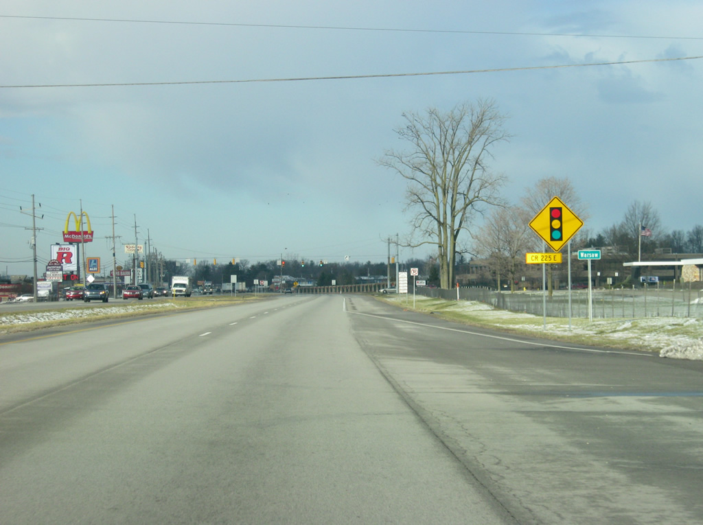
Coming up to the next stoplight, for Orthopedic Drive (called County Road 250 East on the INDOT signs, despite the fact that the actual county road doesn't connect here), U.S. 30 (Lake City Highway) enters the Kosciusko County seat of Warsaw (population 13,559). Warsaw is given the nicknames of Lake City (because of the three lakes that are within the city limits) and the Orthopedic Capital of the World (because of the several companies based in the city that produce orthopedic devices).
03/24/11
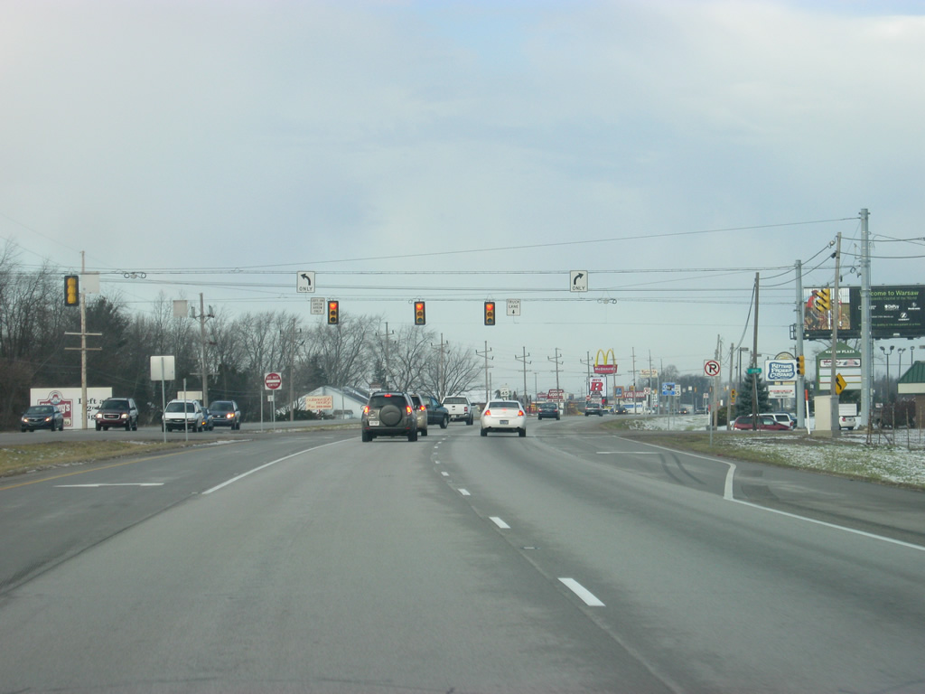
Entering the Warsaw area, U.S. 30 (Lake City Highway) nears the signal with Division Road/Old U.S. 30. Several shopping centers, services and industrial parks are located along U.S. 30 (Lake City Highway) from the County Road 250 East west all the way to the SR 15 (Detroit Street) interchange.
03/24/11
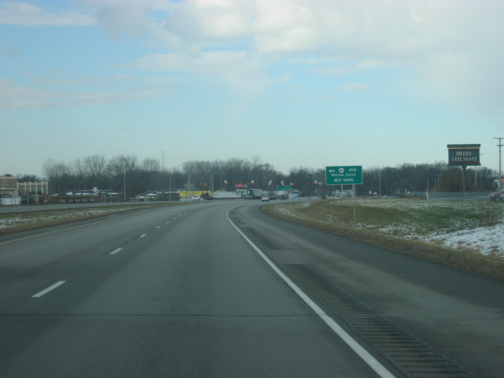
North of the Division Road/Old U.S. 30 intersection, the next junction, with Center Street nears along U.S. 30 (Lake City Highway). IPFW's (Indiana University-Purdue University Fort Wayne) Warsaw Campus is located west along Center Street.
03/24/11
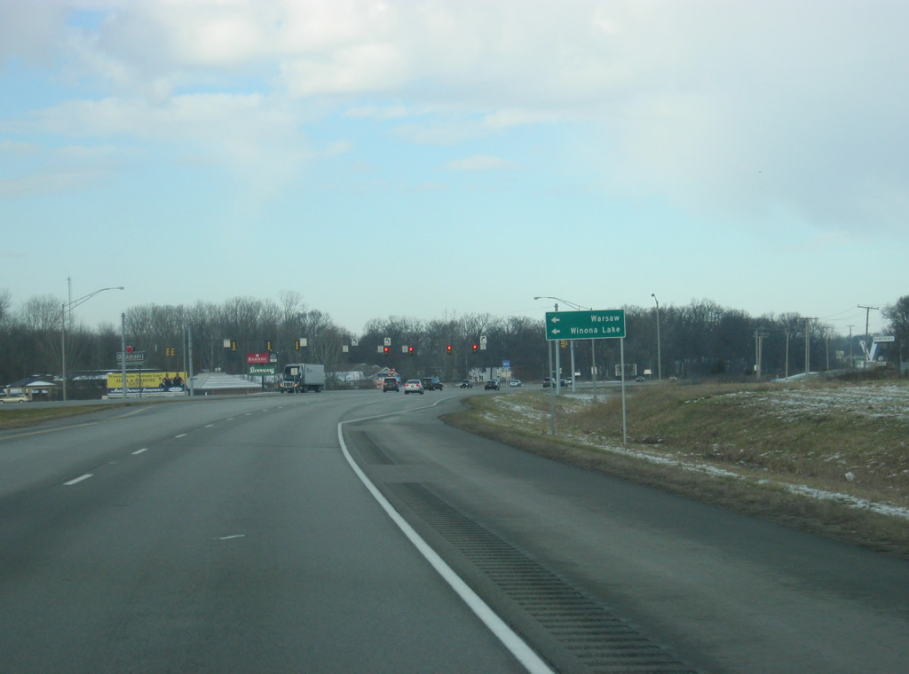
Getting closer to the intersection with U.S. 30 (Lake City Highway) and Center Street. Center Street follows the original routing of U.S. 30 and the Lincoln Highway into Downtown Warsaw and Winona Lake, which is home to the small college, Grace College.
03/24/11
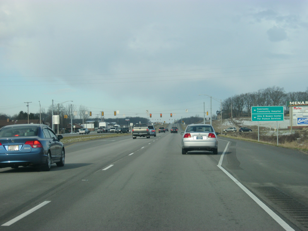
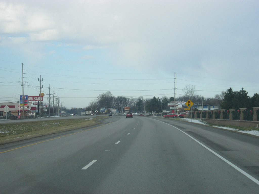
From the Center Street intersection, U.S. 30 begins in earnest its bypass around the east and north sides of Warsaw. The next stoplight along U.S. 30 (Lake City Highway) is with Dubois Drive. Dubois Drive heads over to Kosciusko Community Hospital and the Otis R. Bowen Center for Human Resources.
03/24/11
Up ahead is the junction with Springhill Road, which serves the nearby Spring Hill Acres subdivision off Pike Lake.
03/24/11
North of the Springhill road intersection, U.S. 30 (Lake City Highway) begins angling toward the west around the north side of Warsaw. Up ahead is the intersection with Anchorage Road/County Road 200 North.
03/24/11
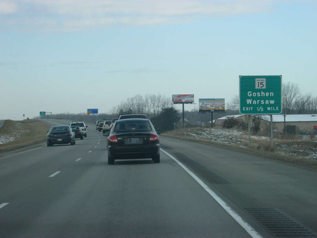
Now on the north side of Warsaw, U.S. 30 (Lake City Highway) is at the half mile approach to the interchange with SR 15 (Detroit Street). SR 15 goes for 95 miles from U.S. 35/SR 22 in Jonesboro in Grant County northward through Marion, Wabash, Warsaw and Goshen before crossing into Michigan.
03/24/11
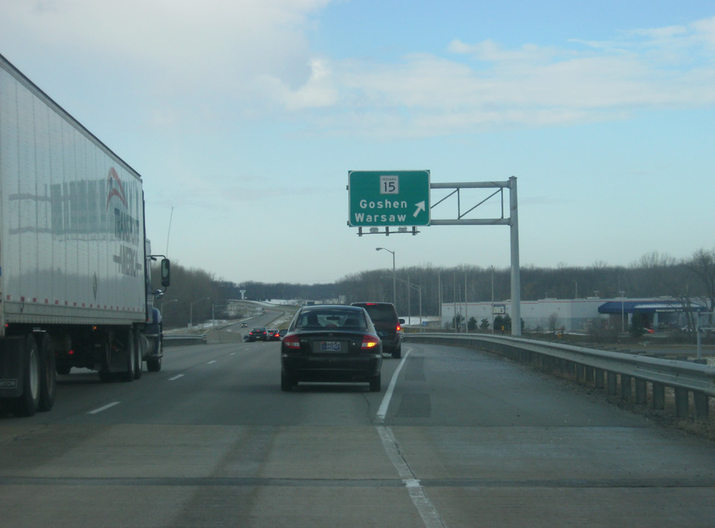
A button-copy guide sign directs traffic onto the folded diamond interchange with SR 15 (Detroit Street). To the south, SR 15 (Detroit Street) is an undivided four lane highway that leads into the heart of Warsaw. Several shopping centers abut the interchange to the north with the Elkhart County seat of Goshen reached in about 23 miles.
03/24/11
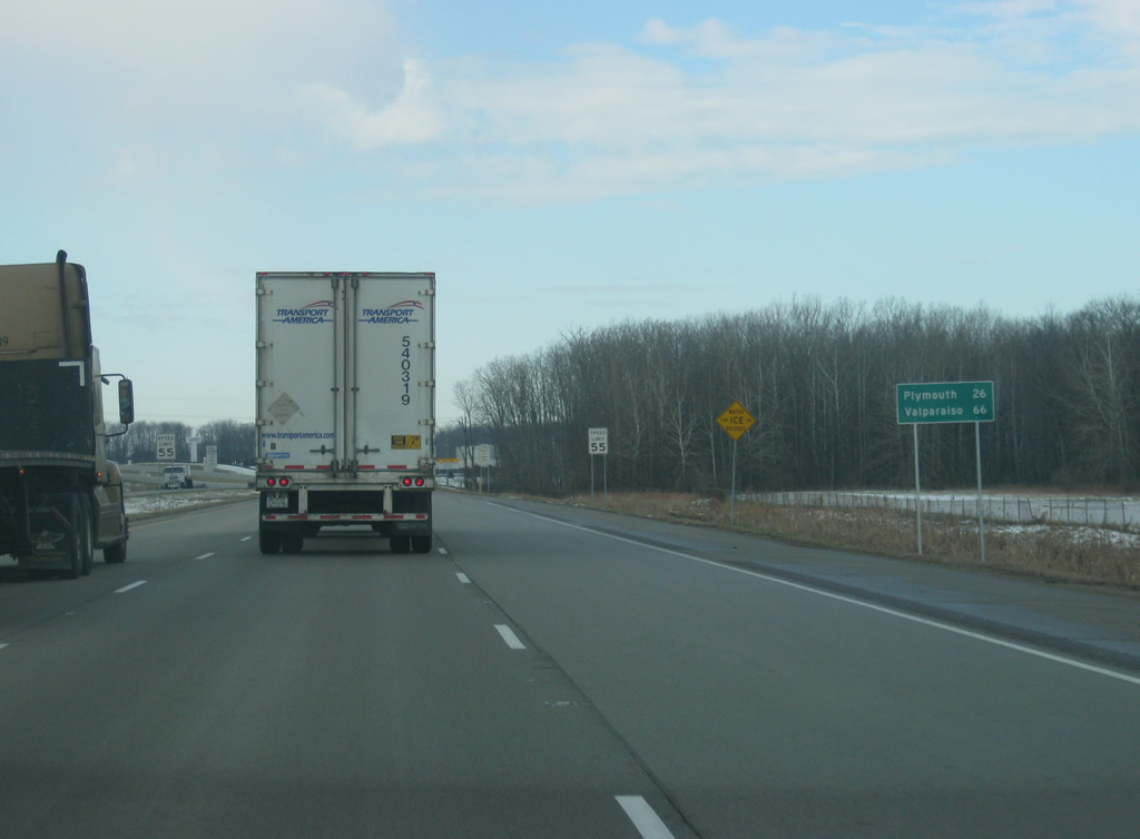
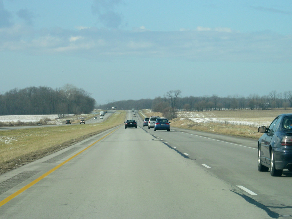
West of the SR 15 (Detroit Street) ramps, U.S. 30 starts to leave the Warsaw area. Westard the US highway continues to the Marshall County seat of Plymouth (26 miles away) and the city of Valparaiso (66 miles away).
03/24/11
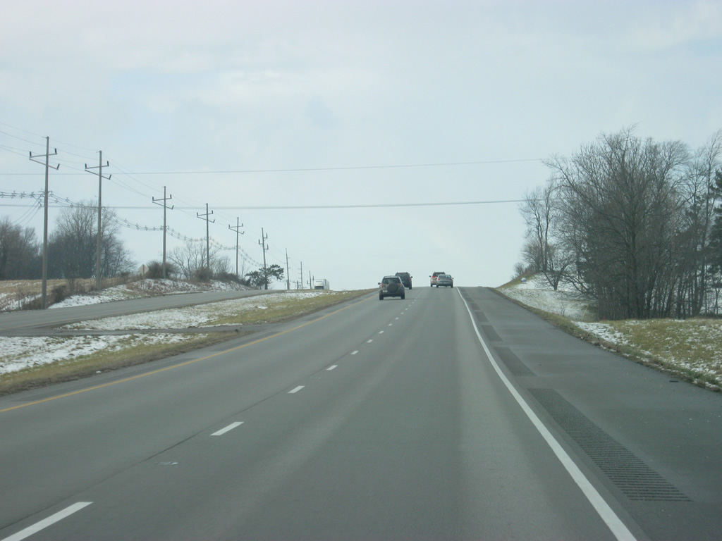
U.S. 30 leads west from Warsaw from near McElroy Hill, northwest of Warsaw, toward the community of Plymouth. Along this four lane stretch is a set of abandoned rest areas that were located just east of County Road 350 East.
03/24/11
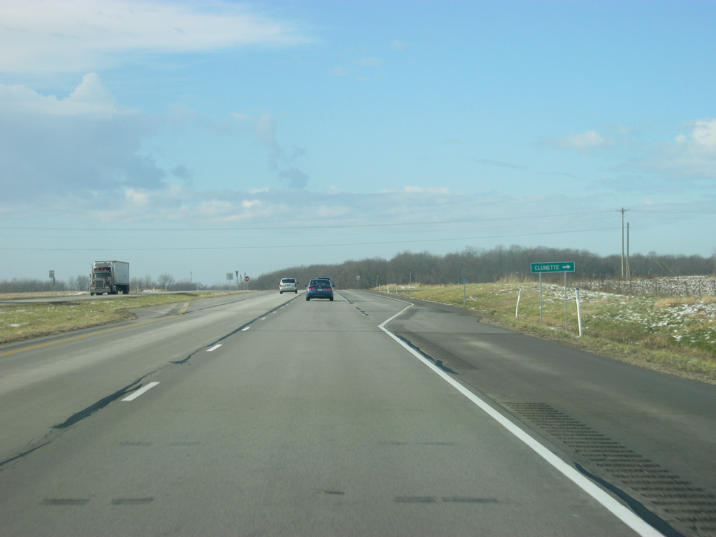
Passing by the intersection with County Road 500 West, which leads north toward the community of Clunette via County Road 600 North.
03/24/11
U.S. 30 curves southward from County Road 500 West toward a crossing of Pole Run Ditch and an adjacent area of wetlands.
03/24/11
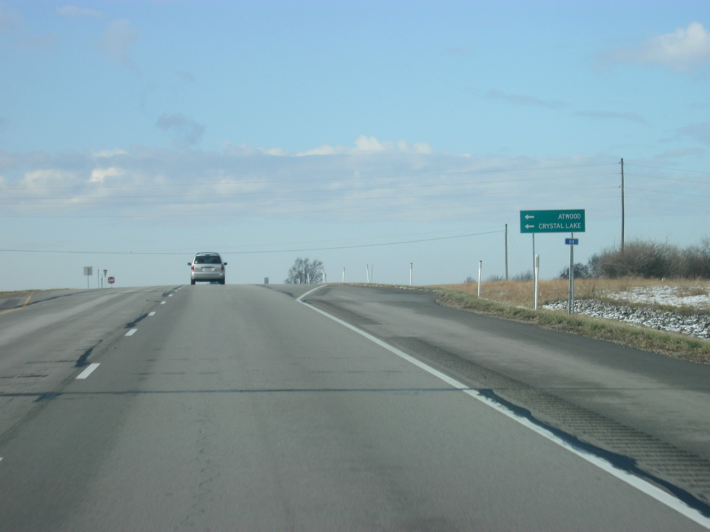
Now at the intersection with County Road 700 West, which heads south to the town of Atwood and Crystal Lake.
03/24/11
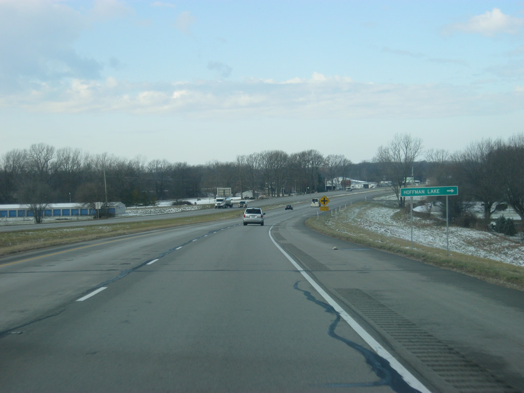
U.S. 30 skirts south of Hoffman Lake ahead of the intersection with Hoffman Lake Road, which serves as the entrance to an adjacent lakeside subdivision.
03/24/11
Now passing the intersection with County Road 800 West, which is marked by a flasher light. County Road 800 West heads north toward Nappanee via SR 19.
03/24/11

West of the intersection with County Road 800 West, U.S. 30 nears the community of Etna Green in the far western part of Kosciusko County. Old US 30 parallels to the south, which can be reached by County Road 800 West or other north-south area roads.
03/24/11
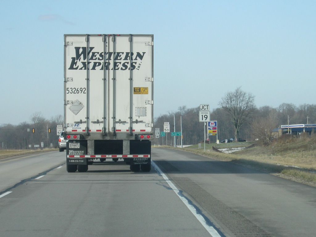
U.S. 30 approaches its first stoplight since Warsaw, at SR 19. SR 19 goes for 143 miles from SR 32 in Noblesville north through Tipton, Peru, Akron, Nappanee and Elkhart before ending at the Michigan border.
03/24/11

The town of Etna Green lies just south of U.S. 30 along SR 19 south (Walnut Street). To the north, the Elkhart County town of Nappanee, home to the Amish Acres attraction, is just under 14 miles from U.S. 30.
03/24/11
West of the junction with SR 19, U.S. 30 enters Marshall County (population 47,051).
03/24/11
U.S. 30 turns northwest as it begins to bypass the town of Bourbon. Since entering Marshall County, the (Historic) Lincoln Highway has been following U.S. 30 to the south along the original routing of U.S. 30 from Etna Green into Bourbon.
03/24/11
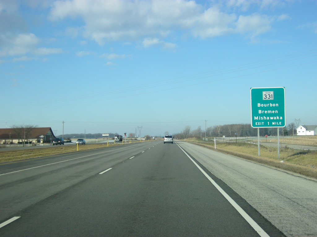
Now one mile from the next interchange along U.S. 30, with SR 331. SR 331 comprises a 35 mile highway that begins at SR 110 near Tippecanoe and heads north through Bourbon, Bremen and Mishawaka before ending at SR 23 near Granger.
03/24/11
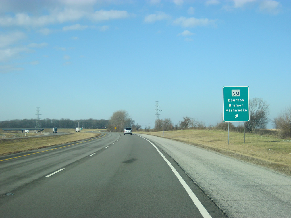
A diamond interchange facilitates movements between U.S. 30 and SR 331. The town of Bourbon is less than a mile to the south of U.S. 30, while Bremen is about ten miles to the north near U.S. 6. Mishawaka is about 25 miles to the north.
03/24/11
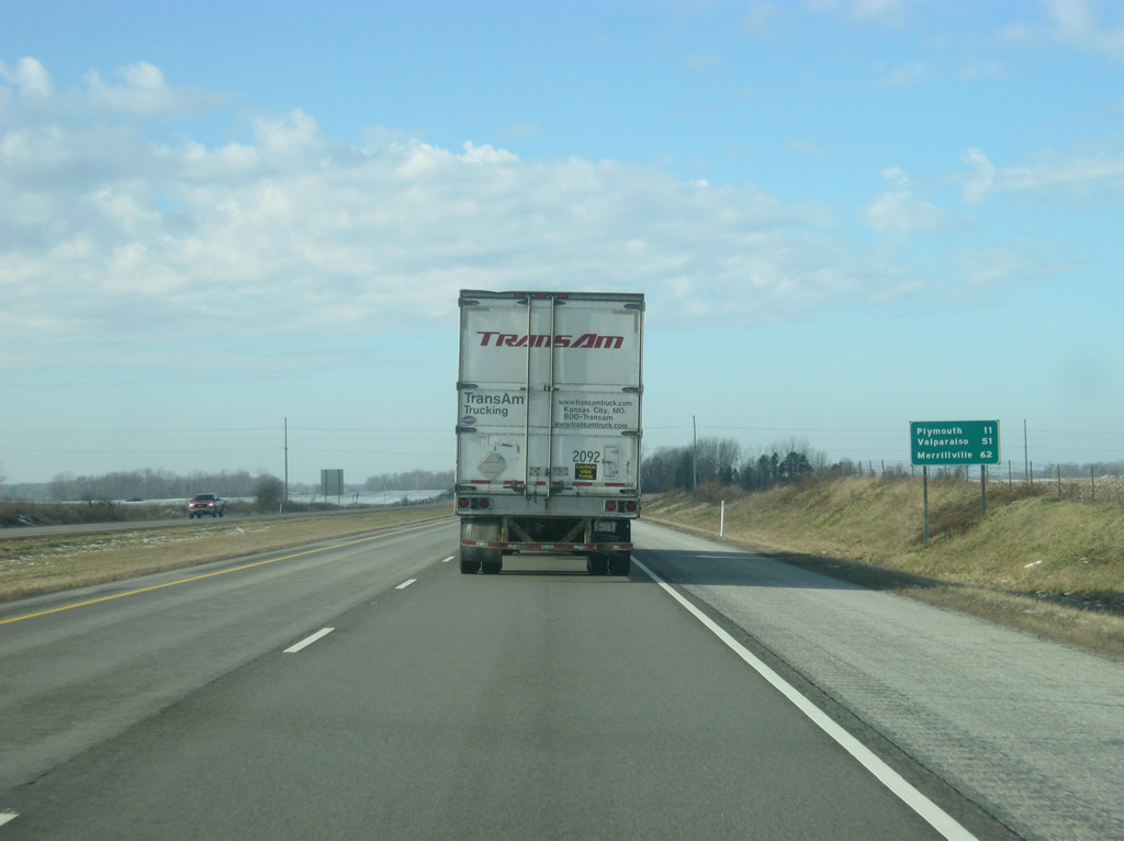
West of the SR 331 interchange, U.S. 30 is now 11 miles from Plymouth and 51 miles from Valparaiso. The Lake County town of Merrillville, located at Interstate 65, is 62 miles away.
03/24/11
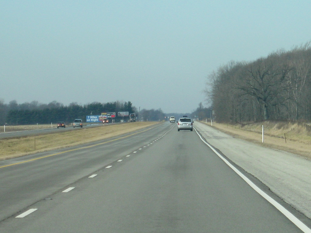
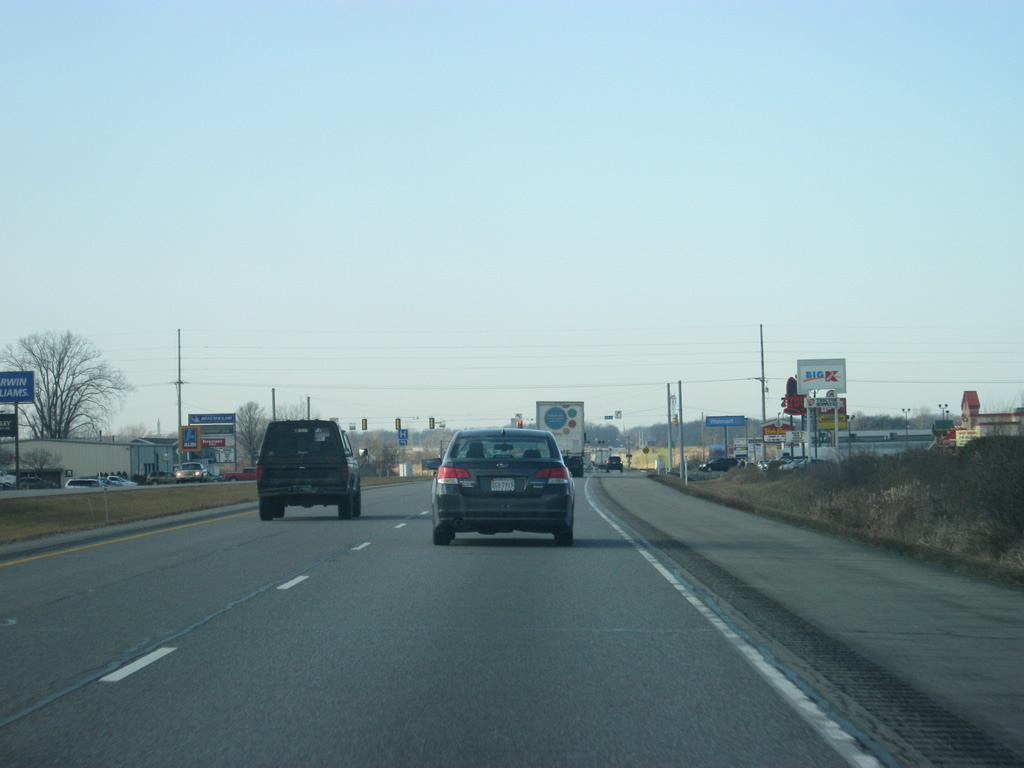
Scenes of U.S. 30 to the west of the SR 331 interchange. Slowly, the four lane highway has been heading into flatter terrain as it travels closer to the prairies of Northwest Indiana and the state of Illinois.
03/24/11
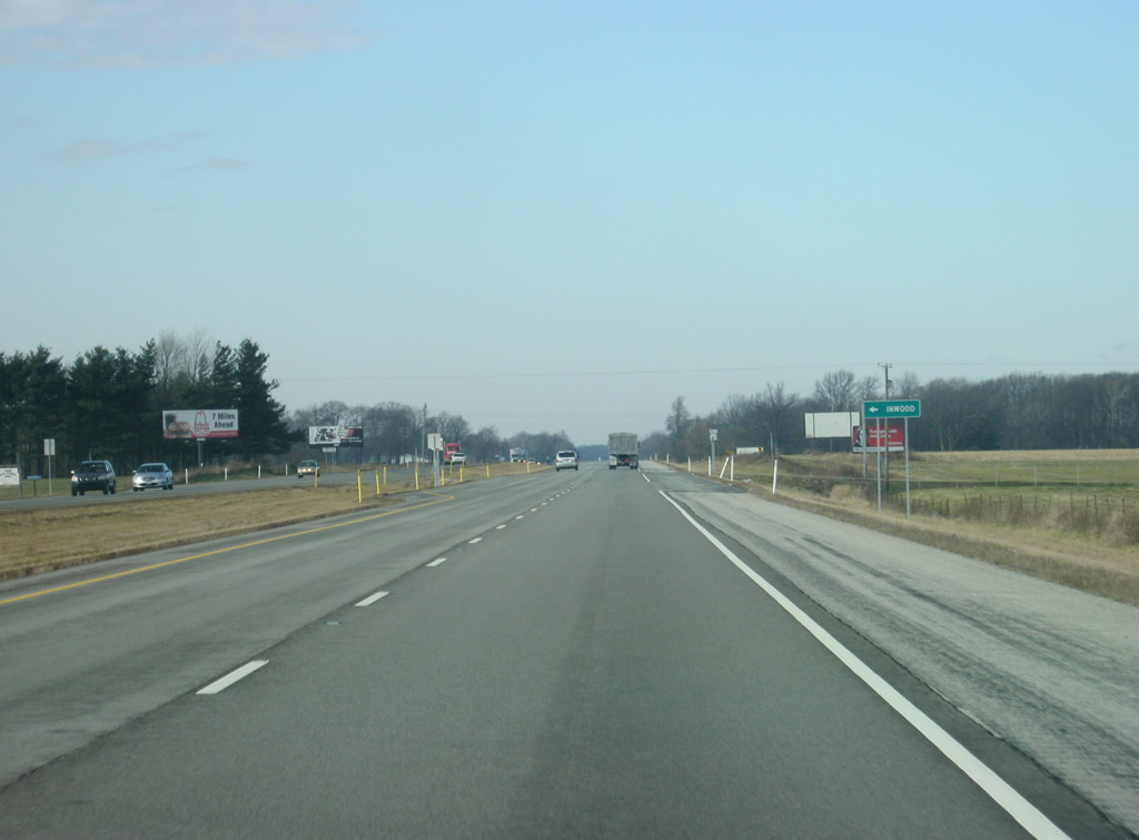
At the intersection with U.S. 30 and Hawthorn Road, which leads south to the town of Inwood.
03/24/11
A view of U.S. 30 west of the Hawthorn Road intersection, the city of Plymouth is now only a few miles away.
03/24/11
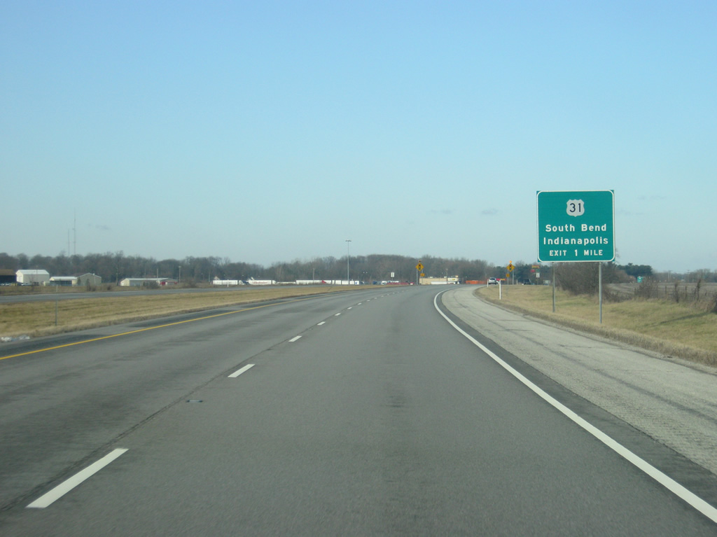
U.S. 30 approaches its next interchange, with U.S. 31. U.S. 31 begins in Spanish Fort, Alabama and travels north near Interstate 65 to Indianapolis and northward from there to Mackinaw City, Michigan. Altogether, the highway travels for 1,280 miles.
Within Indiana, the highway travels for 266 miles, beginning in Jeffersonville across the Ohio River from Louisville, Kentucky and heading north through the communities of Scottsburg, Seymour, Columbus, Franklin, Indianapolis, Kokomo, Rochester, Plymouth and South Bend before exiting into Michigan.
03/24/11
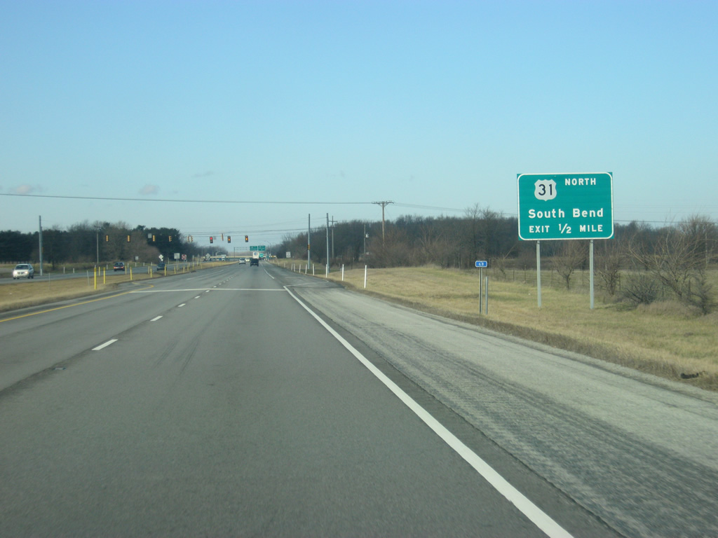
The city of South Bend is 16 miles to the north along U.S. 31, which is currently being upgraded to freeway status from U.S. 30 north to the St. Joseph Valley Parkway (U.S. 20/U.S. 31 Bypass). The freeway will bypass a long stretch of undivided four lane highway that currently exists from Lapaz north to South Bend, slowing traffic as it goes through the various communities along the way. The stoplight in view is for 9A Road, which serves a nearby truck stop.
03/24/11
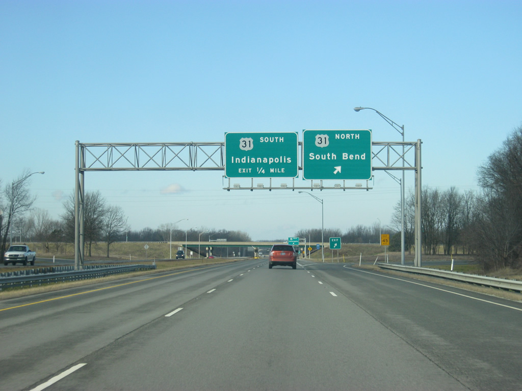
Now at the cloverleaf interchange between U.S. 30 and U.S. 31. Traffic bound for Lapaz, Lakeville and South Bend turn off toward the north at this point. U.S. 30 and U.S. 31 are often used as an alternative route from Fort Wayne to South Bend to those who don't prefer U.S. 33.
03/24/11
A loop ramp takes traffic from westbound U.S. 30 to southbound U.S. 31, which continues south toward Rochester, Kokomo and the capital city of Indianapolis. U.S. 31 is also being upgraded to freeway-standards in the northern Hamilton County suburbs of Indianapolis and around the city of Kokomo via a new bypass. Both upgrades will improve travel between Indianapolis and South Bend.
03/24/11
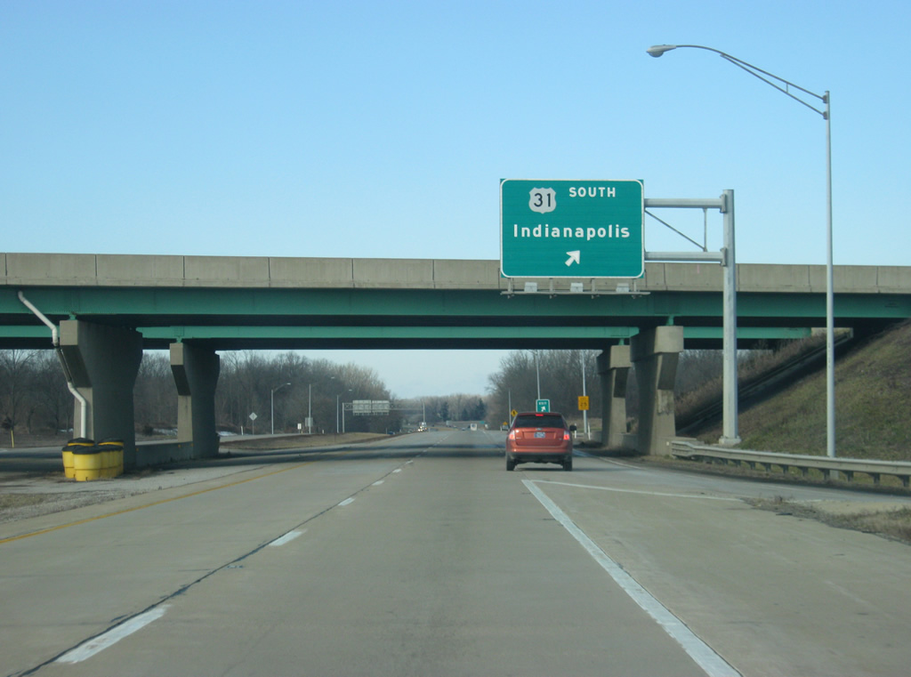
A U.S. 30 reassurance shield resides west of the U.S. 31 interchange and ahead of the Yellow River. From here, U.S. 30 officially enters the city of Plymouth (population 10,033), the county seat of Marshall County.
03/24/11
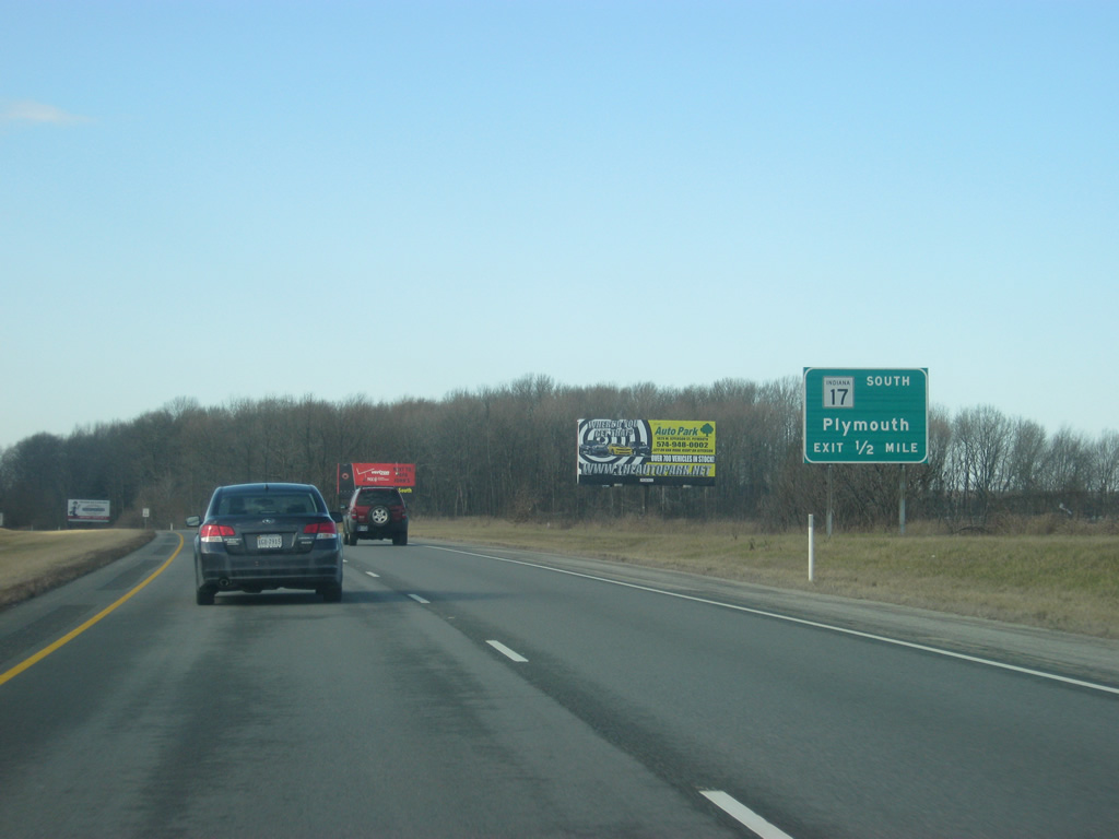
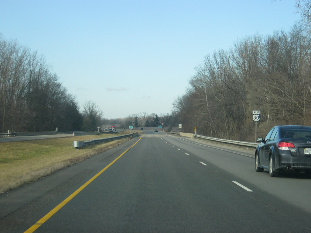
In a half mile is the folded diamond interchange between U.S. 30 and SR 17 south (Michigan Street). From U.S. 30, SR 17 goes for 50 miles through Plymouth and Culver en route to its southern terminus at SR 25 in Logansport.
03/24/11
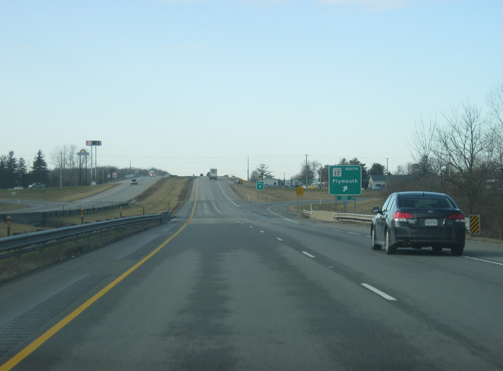
Traffic to SR 17 (Michigan Street) south departs U.S. 30 west. As the street name suggests, SR 17 was a part of the Michigan Road, which ran from Madison on the Ohio River through Indianapolis and north toward Plymouth and South Bend. Northward, Michigan Street becomes Michigan Road en route to present-day U.S. 31. Beyond Downtown Plymouth, SR 17 turns west from Michigan Street for the trek toward Culver.
03/24/11
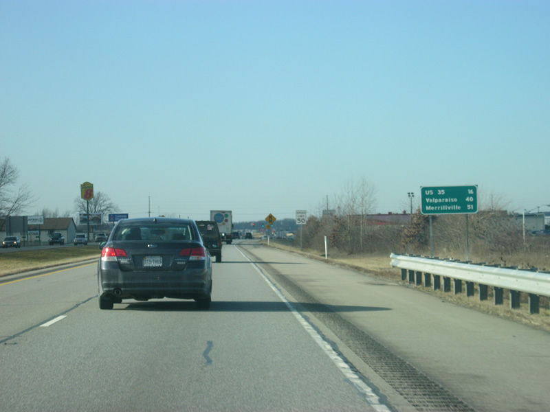
West of the SR 17 south interchange, the next interchange along U.S. 30 is with U.S. 35, 16 miles away. Valparaiso is 40 miles away while Merrillville is 51 miles away.
03/24/11
As with Columbia City and Warsaw, several shopping centers, restaurants and other services are available along U.S. 30 on the north side of Plymouth. A couple of stoplights, including this one at Oak Road, along with the SR 17 south interchange provide access to those businesses, which are reached via frontage roads.
03/24/11
The next stoplight along U.S. 30 serves Pioneer Drive, which links to several adjacent industrial parks to the west of Plymouth.
03/24/11
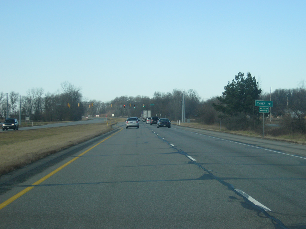
Now leaving the Plymouth area, U.S. 30 approaches the intersection with Queen Road, which links US 30 with the town of Tyner via 4B Road. The Plymouth-LaPorte Trail, an older highway that connects the two cities listed, also crosses over at Queen Road.
03/24/11
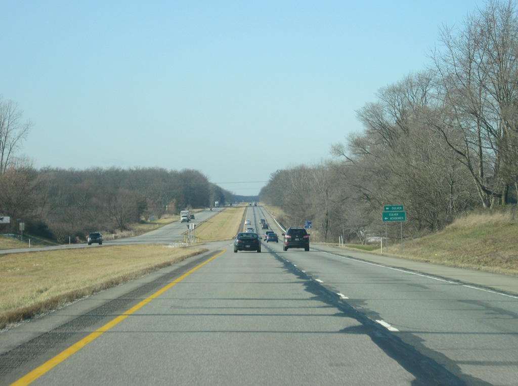
Near the junction with Rose Road, which heads south toward the town of Culver and the famous Culver Academies via SR 17.
03/24/11
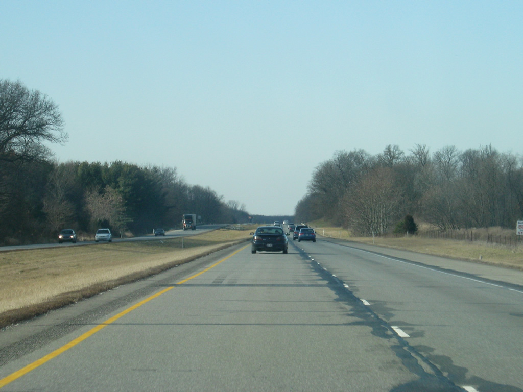
A view of U.S. 30 to the west of Rose Road. The remainder of western Marshall County remains rural.
03/24/11
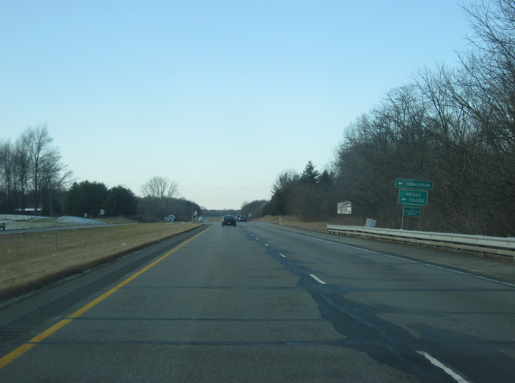
Now at the intersection with U.S. 30 and Union Road, which heads south to the town of Donaldson and Ancilla College.
03/24/11
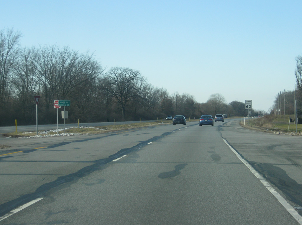
U.S. 30 crosses into Starke County (23,623), and by doing so, enters Central Time Zone.
03/24/11

Photo Credits:
- Thomas Decker: 03/24/11
Connect with:
Page Updated Thursday May 02, 2013.