
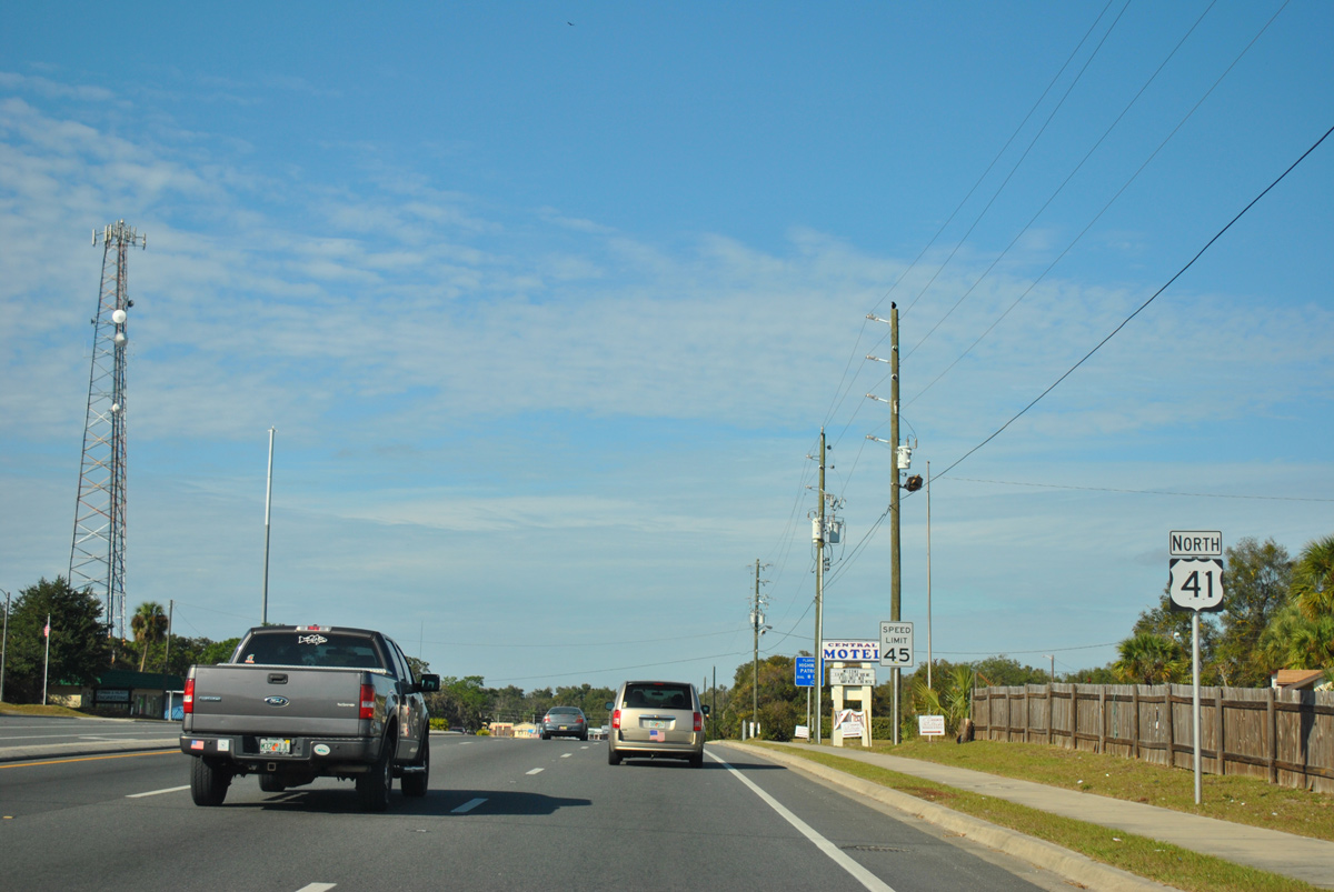
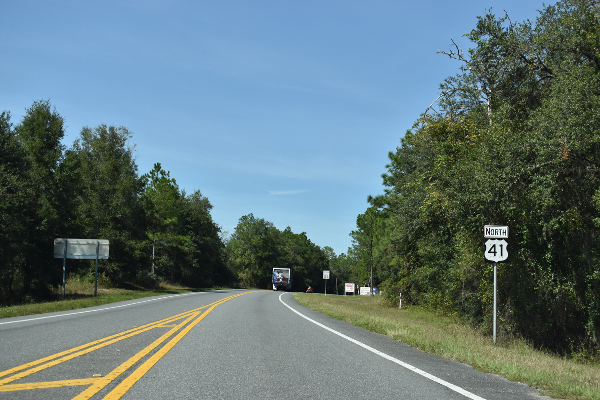
U.S. 41 North - Citrus County

 North
North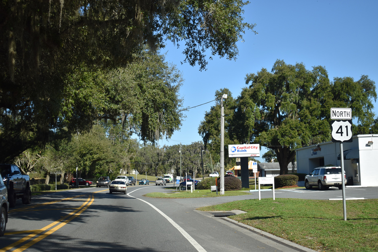
Reassurance marker north of CR 48 (Orange Avenue) in Floral City.
12/16/19
12/16/19
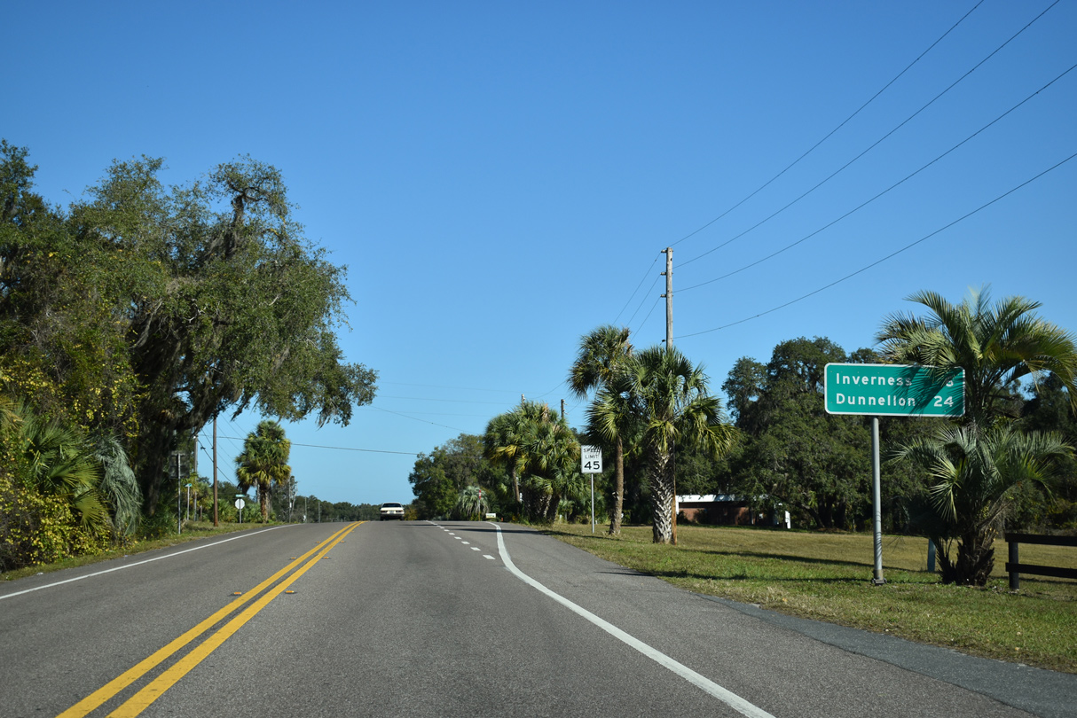
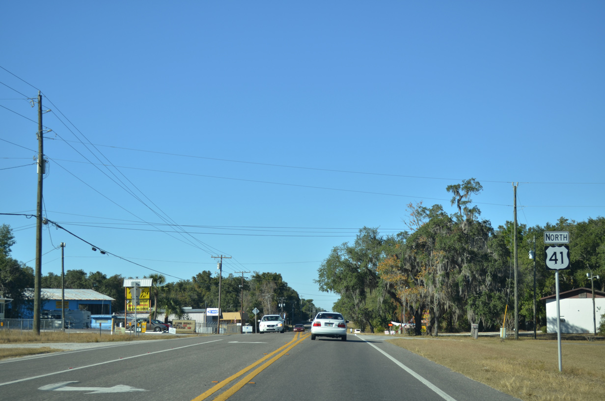
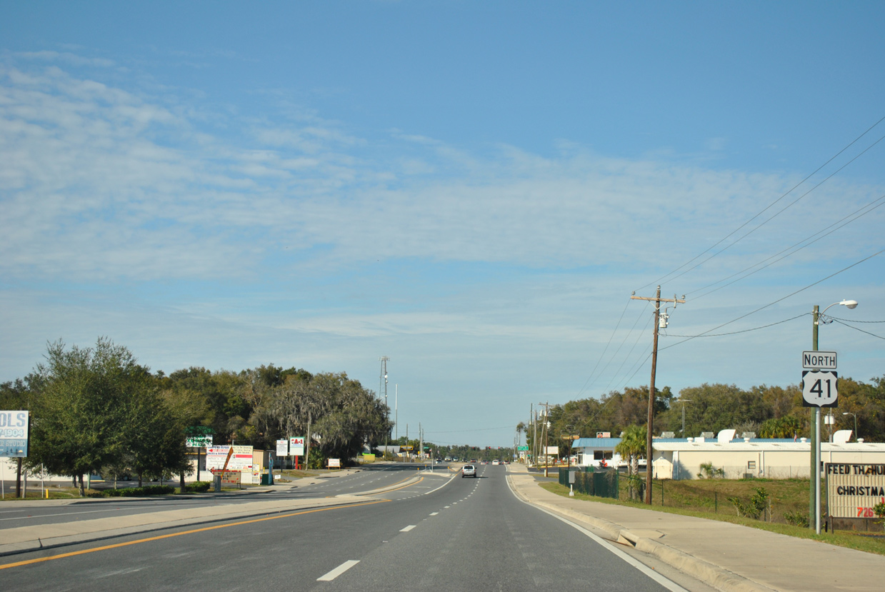
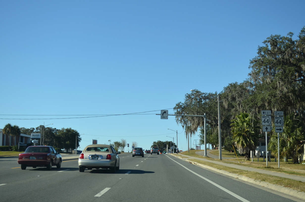
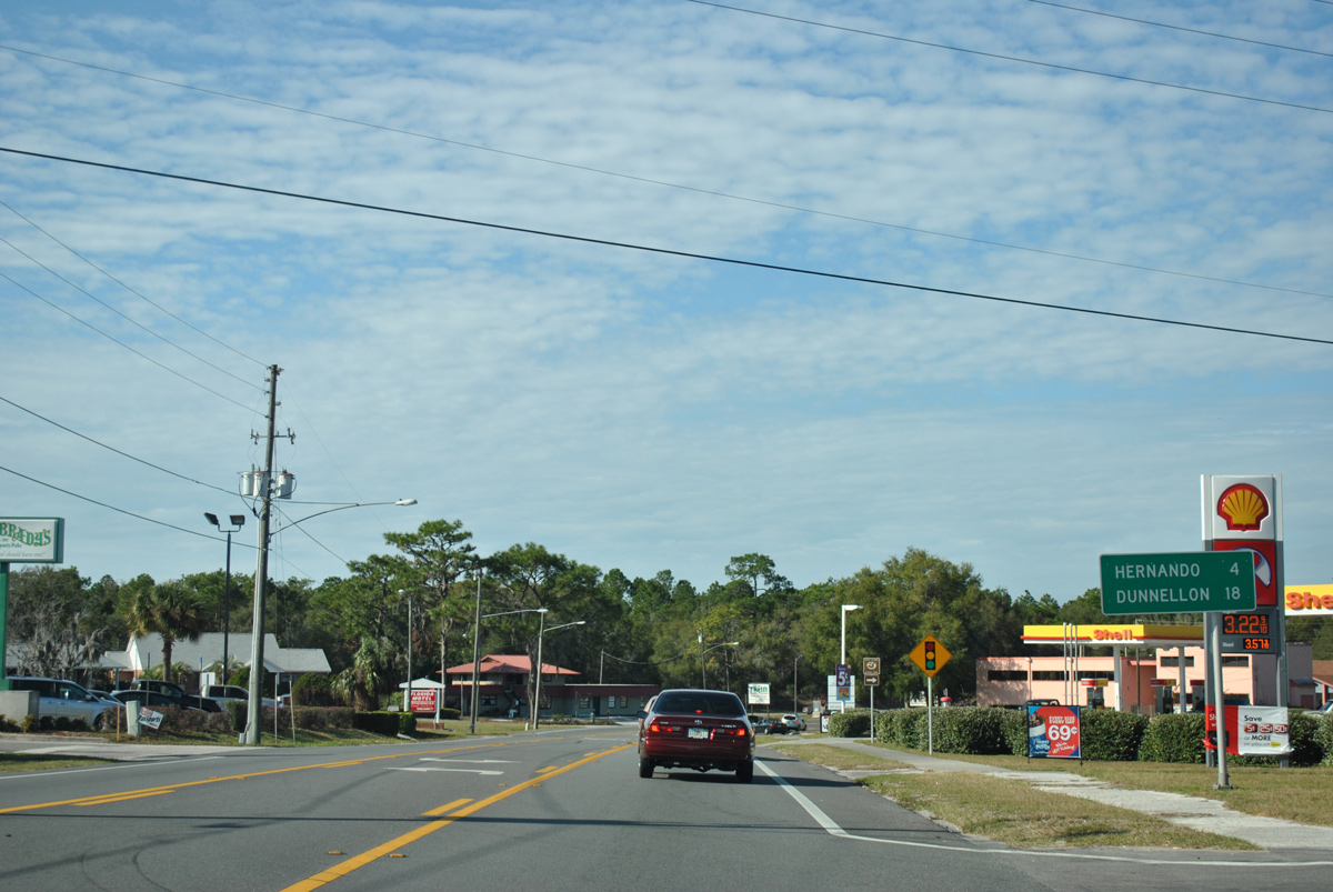
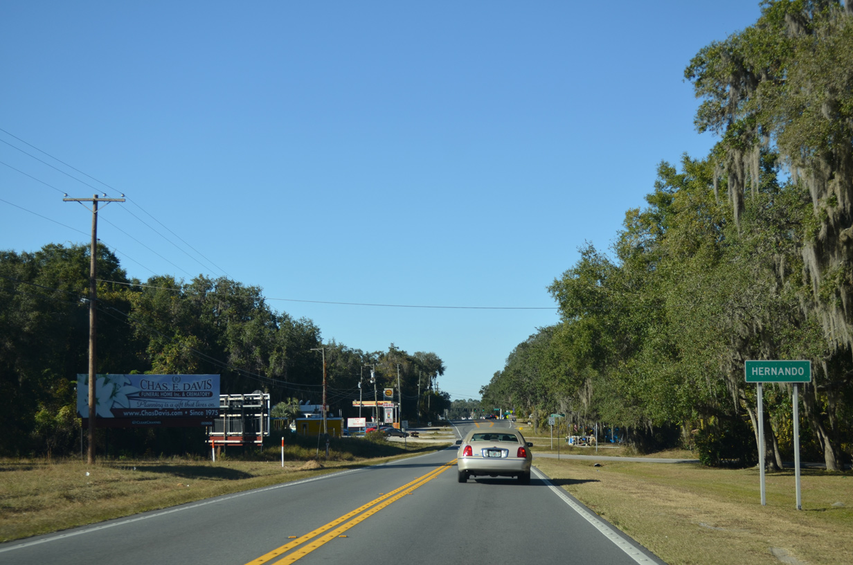
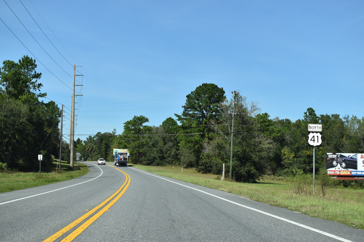
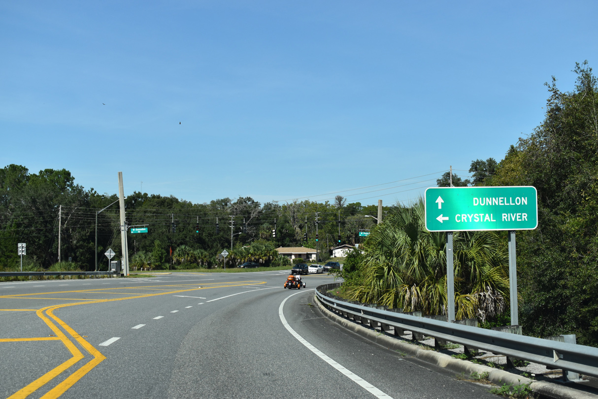
U.S. 41 (Florida Avenue) continues six miles north from Floral City to Inverness and 24 miles to Dunnellon.
12/16/19
12/16/19
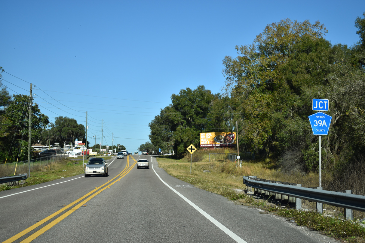
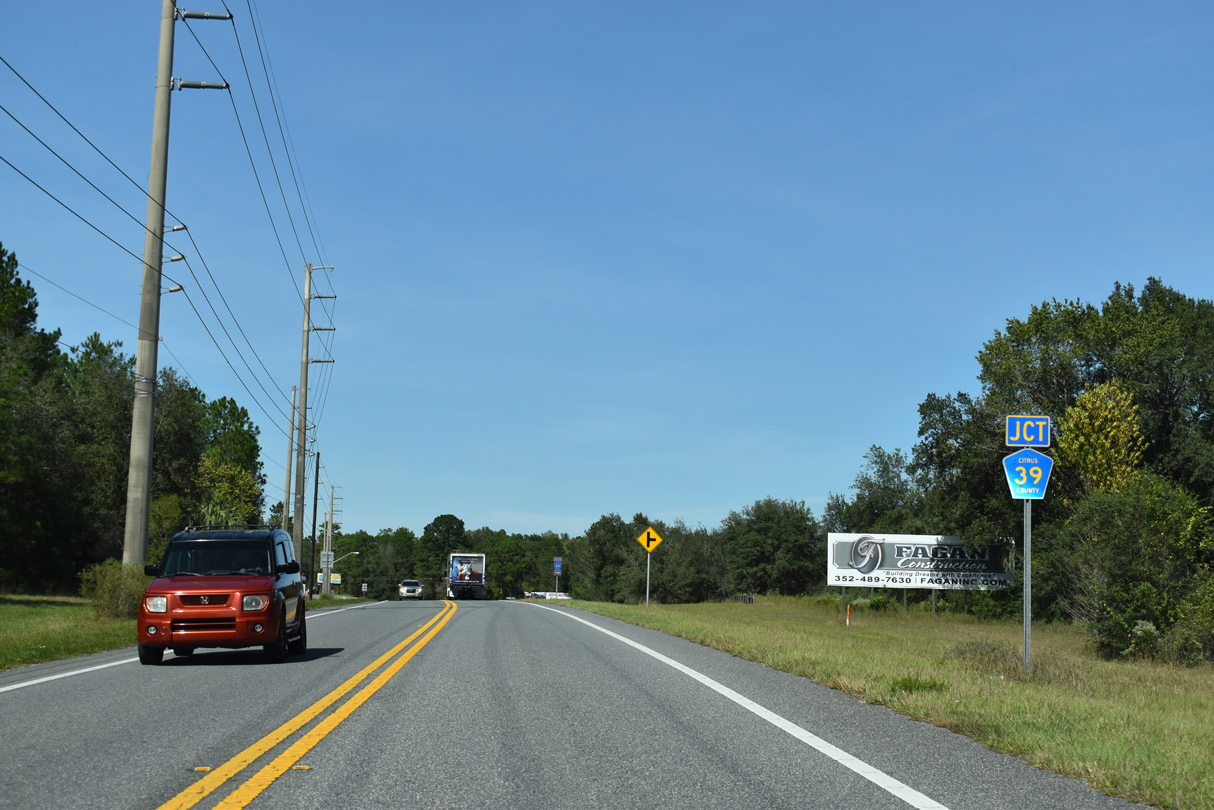
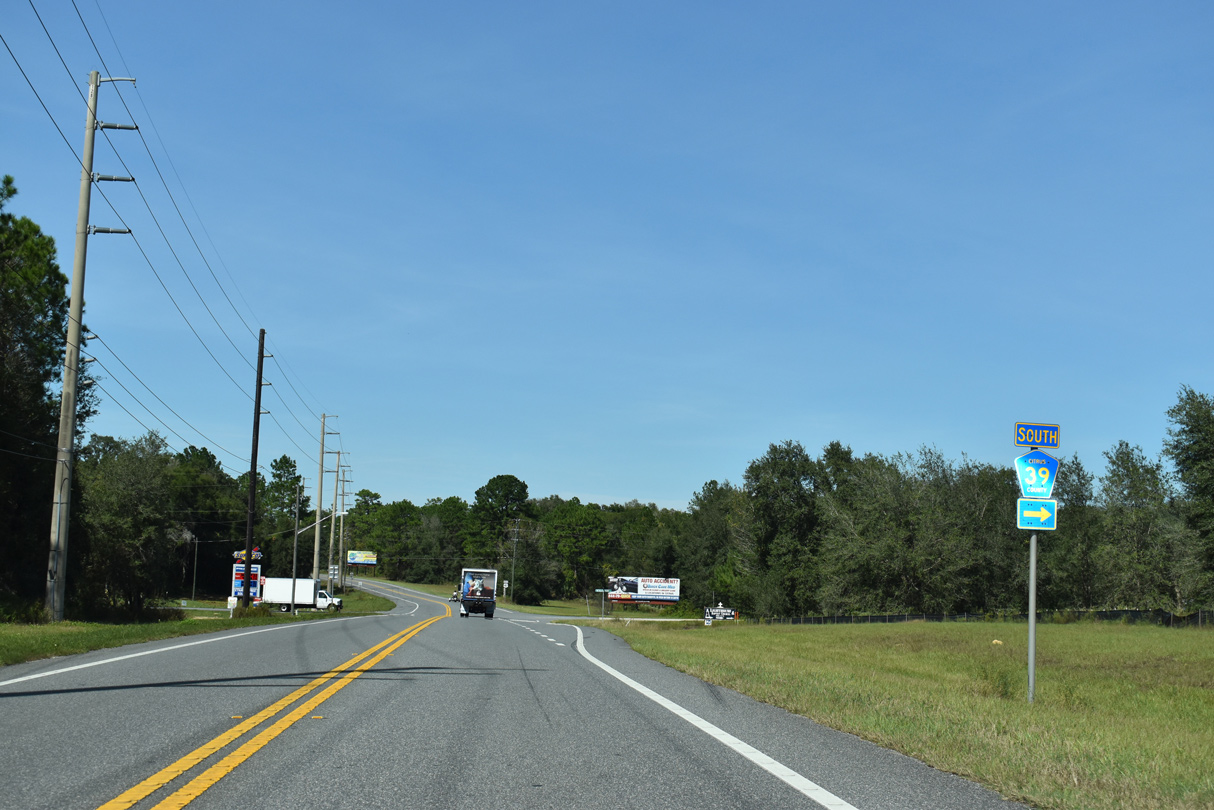
CR 39A (Gobbler Drive) stems east from U.S. 41 to Hicks Island and Big Island on Tsala Apopka Lake.
12/16/19
12/16/19
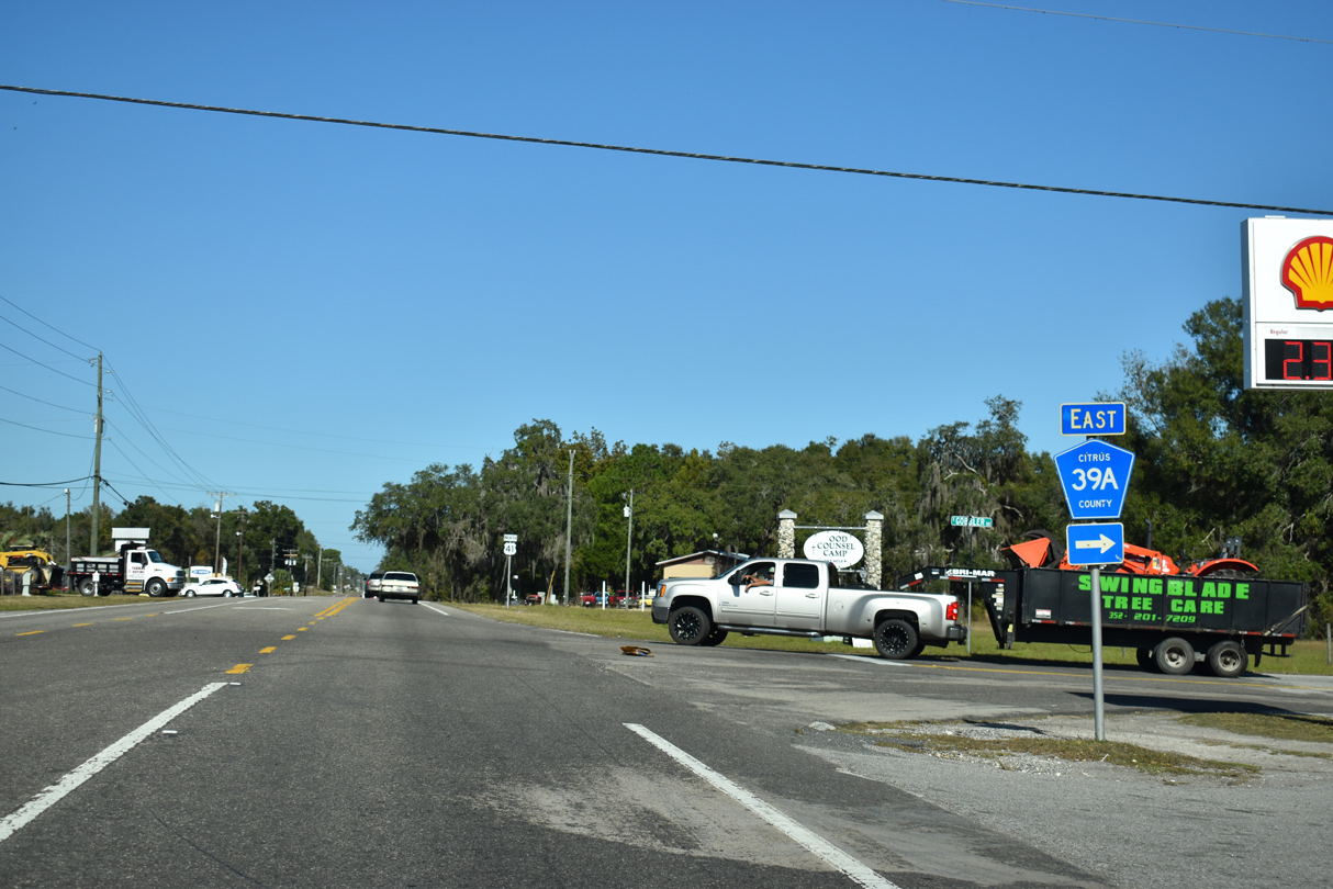
Citrus County Road 39A constitutes a circuitous route east and south across Tsala Apopka Lake to CR 48 east of Floral City.
12/16/19
12/16/19
11/25/12
12/26/11
12/26/11
11/25/12
12/26/11
11/25/12
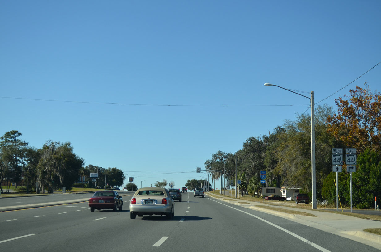
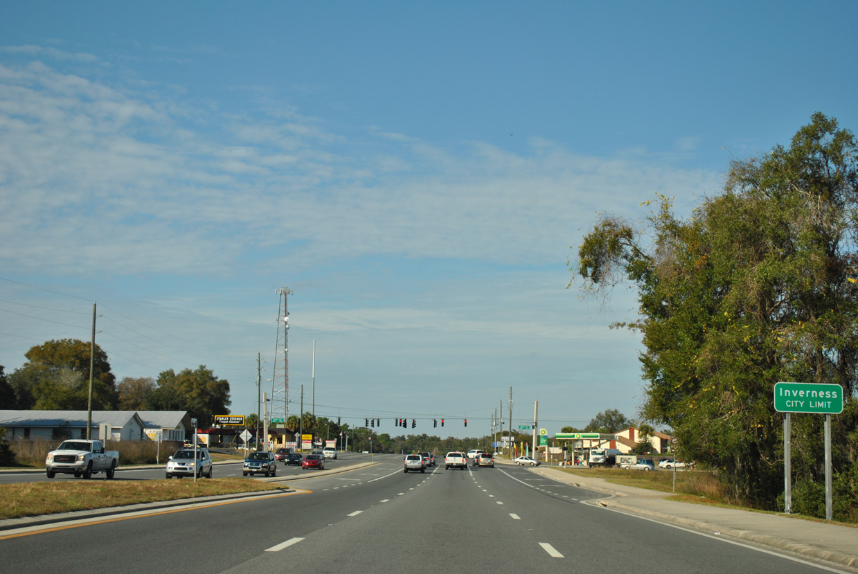
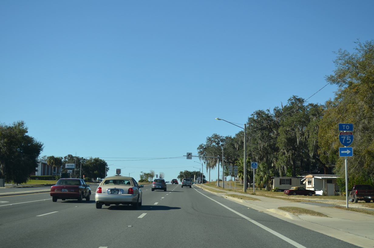
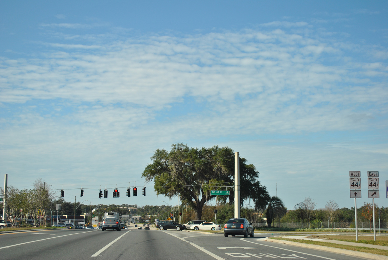
SR 44 travels east from Inverness along Henderson Lake and across Tsala Apopka Lake to Wildwood and the Villages in Sumter County.
11/25/12
11/25/12
11/25/12
11/25/12
12/26/11
North  West
West
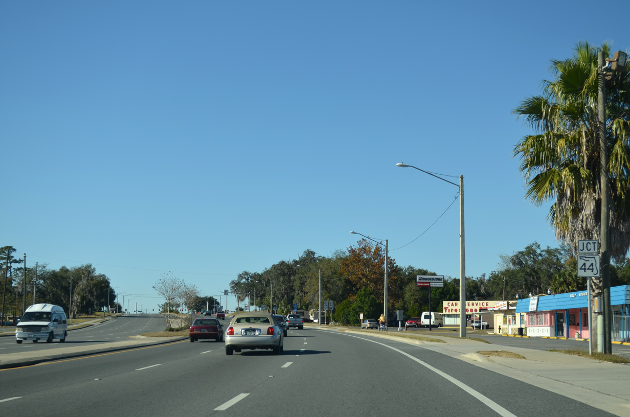
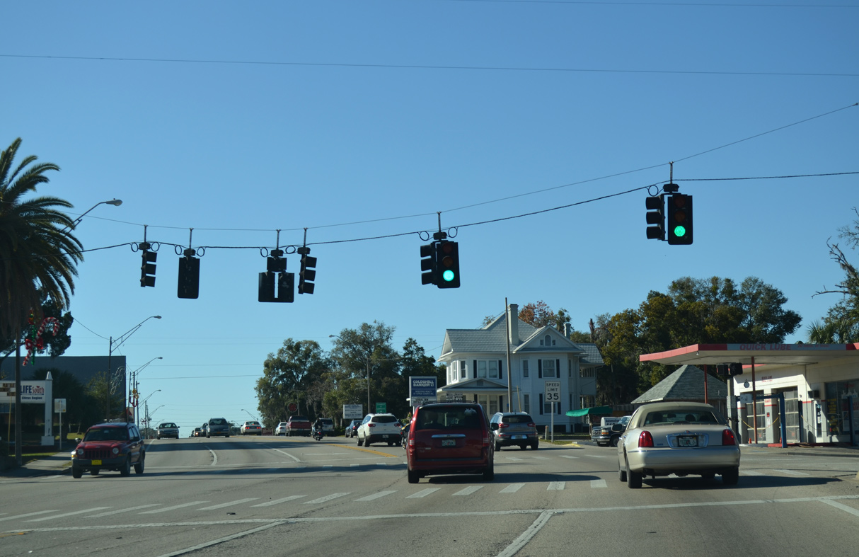
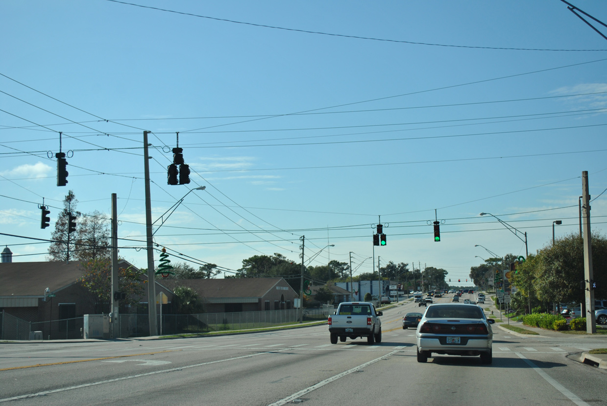
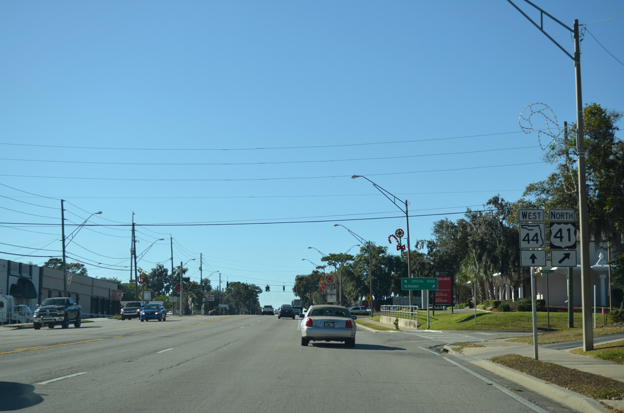
U.S. 41 north and SR 44 west combine for 0.92 miles along Main Street through the heart of Inverness.
12/26/11
12/26/11
Distance sign posted ahead ahead od Dr. Martin Luther King, Jr. Avenue. Crystal River lies at the west end of SR 44 in 16 miles. Dunellon is 19 miles to the north along U.S. 41.
12/26/11
12/26/11
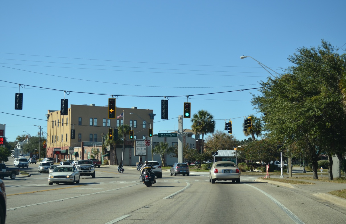
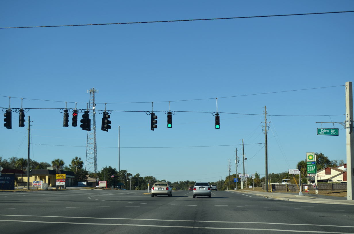
Flashing yellow arrows were implemented at the intersection with S Apopka Avenue and Courthouse Square in 2012. This was one of the first locations in the state with them.
11/25/12
11/25/12
U.S. 41/SR 44 (Main Street) west at Seminole Avenue by Downtown Inverness.
11/25/12
11/25/12
12/26/11
12/26/11
11/25/12
11/25/12
North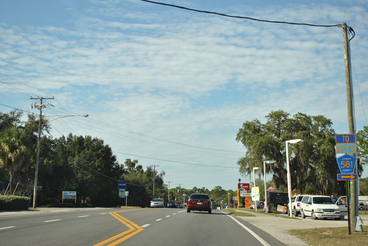
Davidson Avenue north and Emery Street east link U.S. 41 with CR 581 north along Ella Avenue. CR 581 south ends at U.S. 41 via Tompkins Street.
12/26/11
12/26/11

Confirming marker northbound at Florida Avenue and Hendrix Street in Inverness.
12/26/11
12/26/11
12/26/11
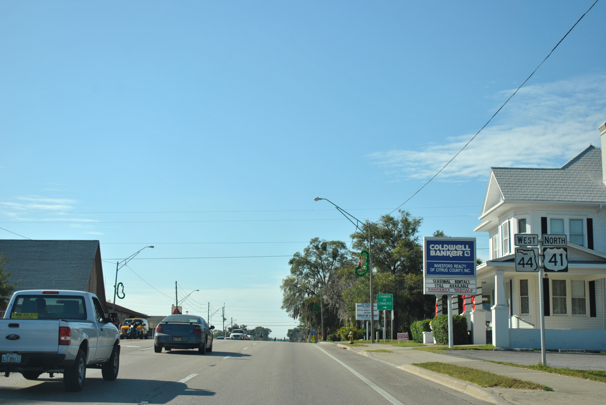
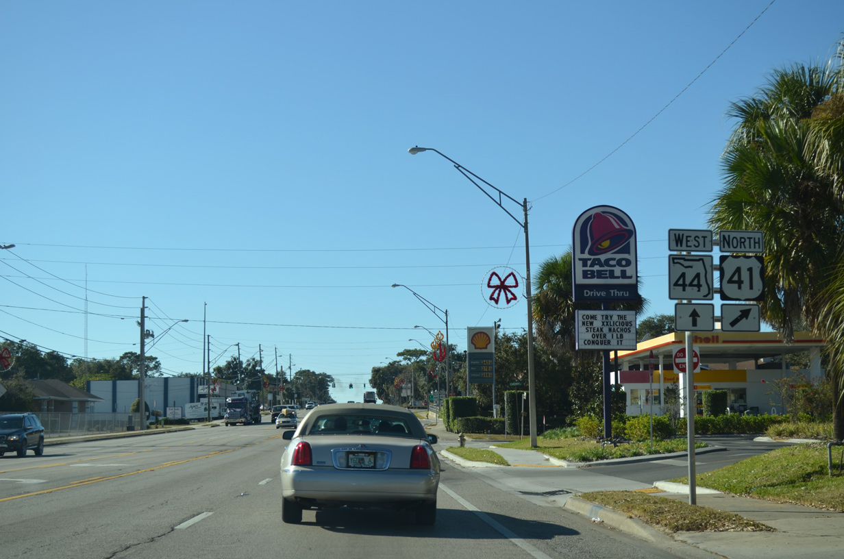
Montgomery Avenue constitutes a cutoff from SR 44 (W Main Street) east to U.S. 41 (Florida Avenue) north.
11/25/12
11/25/12
11/25/12
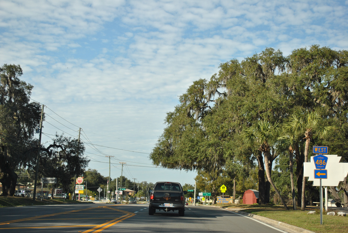
CR 486 (Norvell Bryan Highway) leads 10.80 miles west through the Citrus Hills community to SR 44 outside Crystal River.
11/26/11
11/26/11
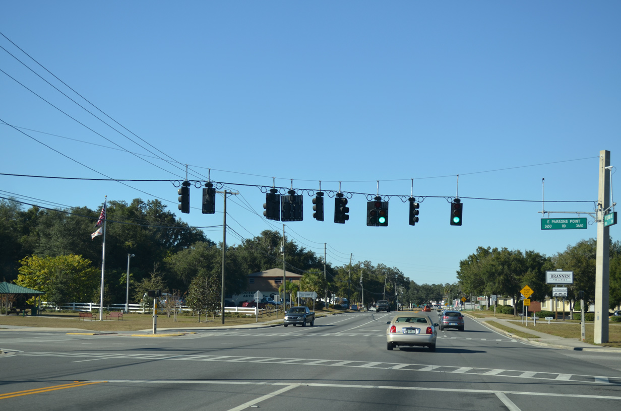
E Parsons Point Road ties into U.S. 41 at CR 486 from a neighborhood off Tsala Apopla Lake.
11/25/12
11/25/12
11/25/12
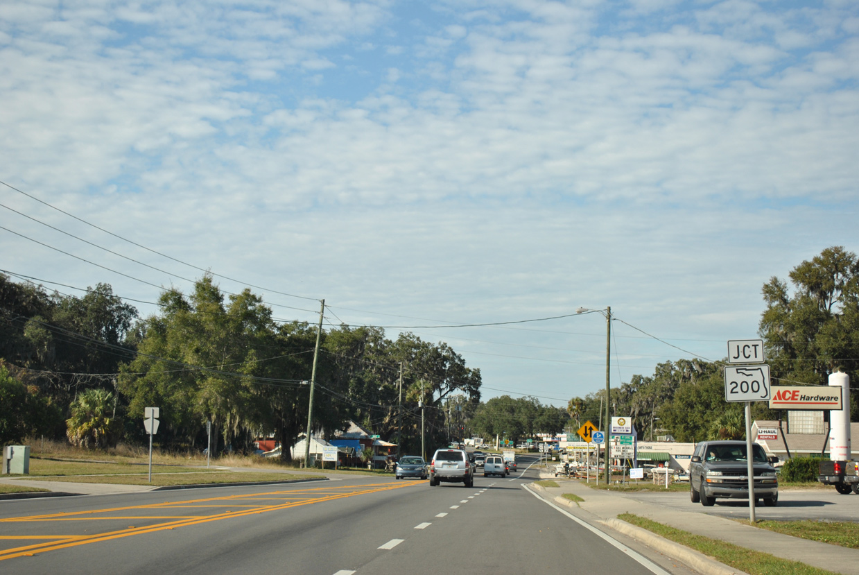
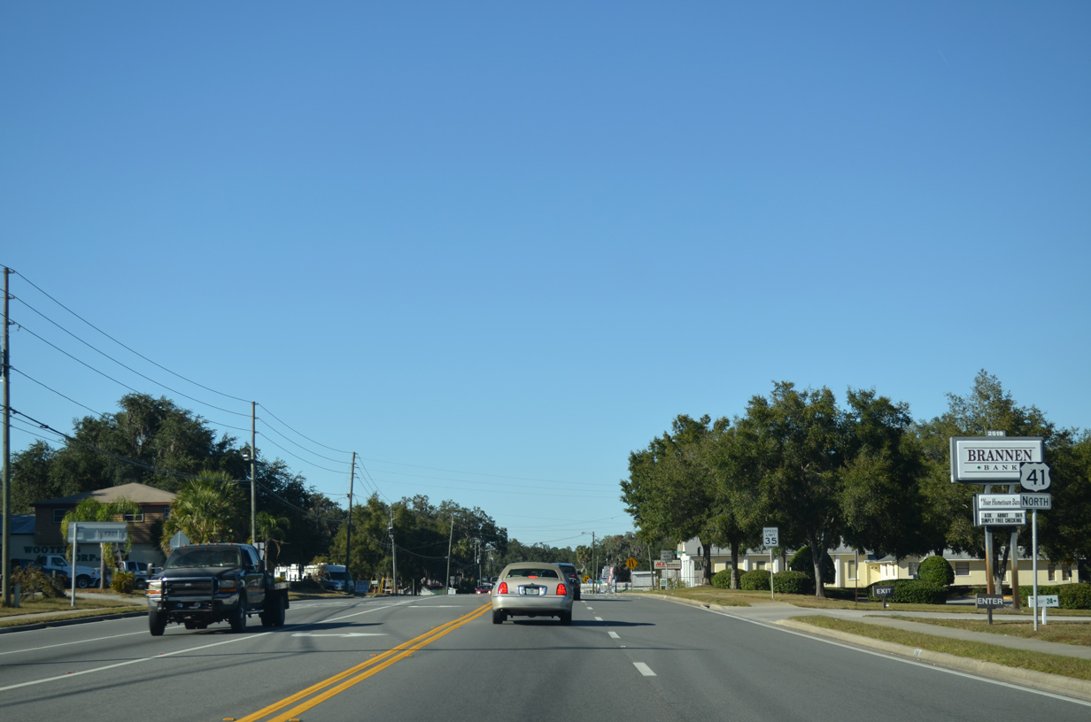
U.S. 41 proceeds north from CR 486 to the south end of State Road 200.
11/26/11
11/26/11
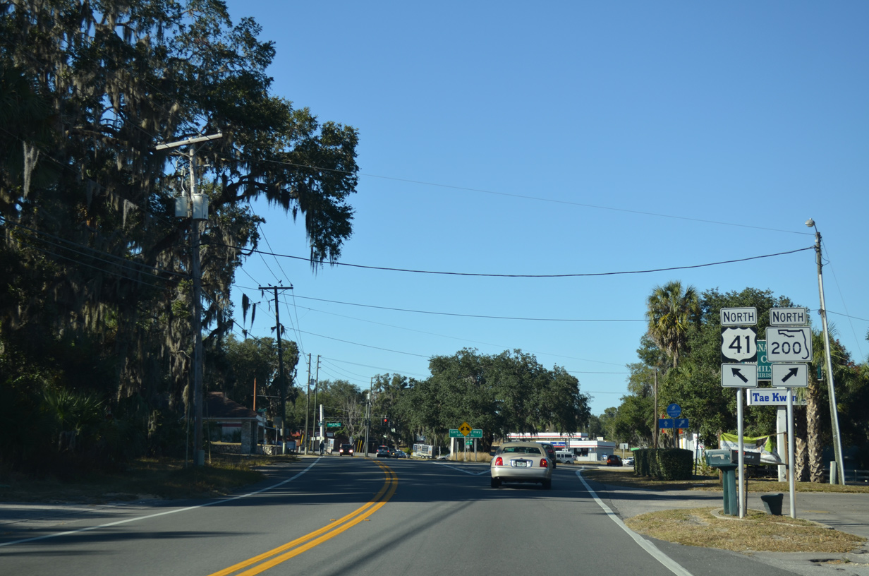
SR 200 angles northeast from Citrus County to Ocala, where it becomes the hidden counterpart of U.S. 301 northward to Callahan.
11/25/12
11/25/12
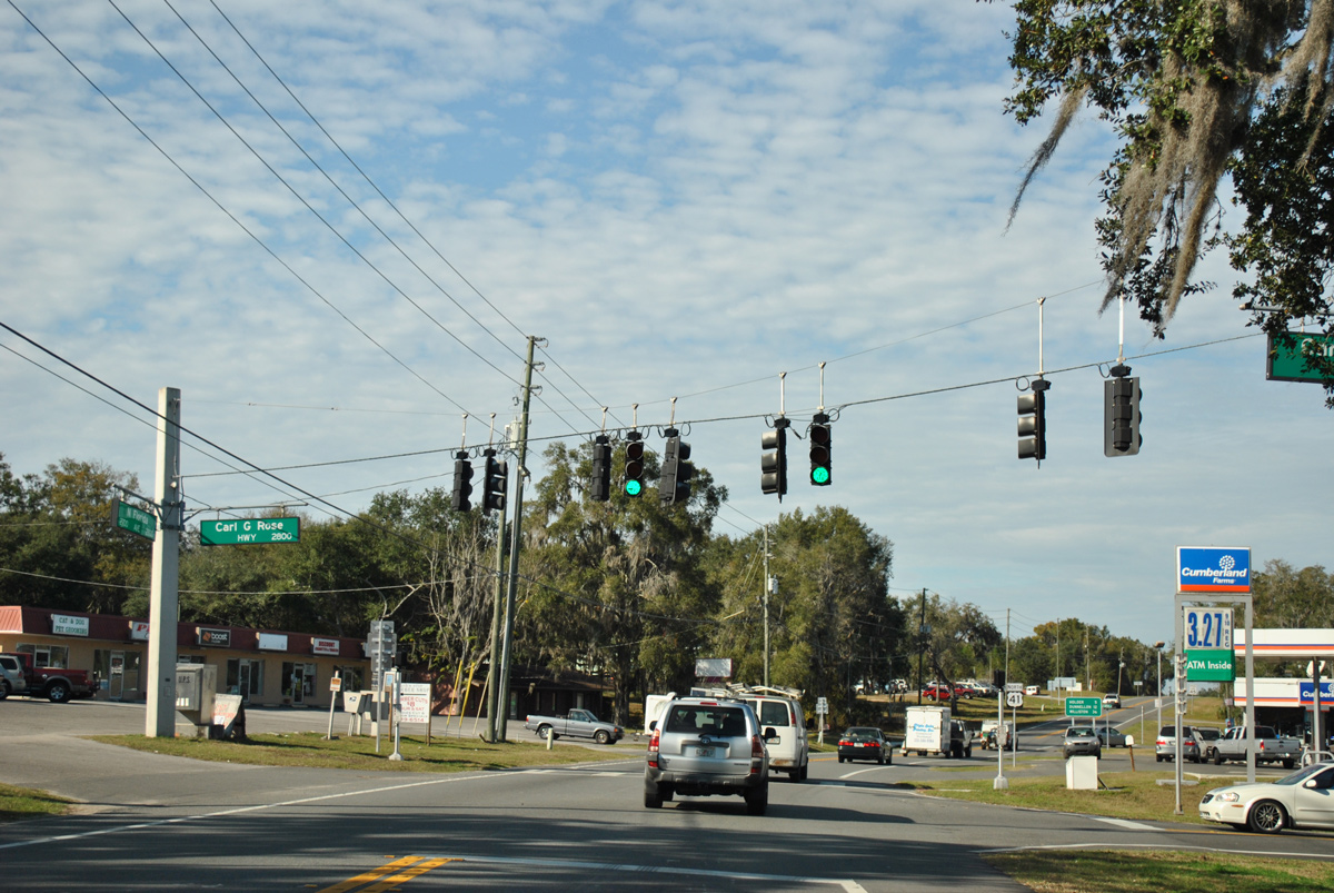
SR 200 is the Carl G. Rose Highway.
12/26/11
12/26/11
12/26/11

A previous distance sign posted after the split with SR 200 referenced Lake City at 96 miles out.
12/26/11
12/26/11
12/26/11
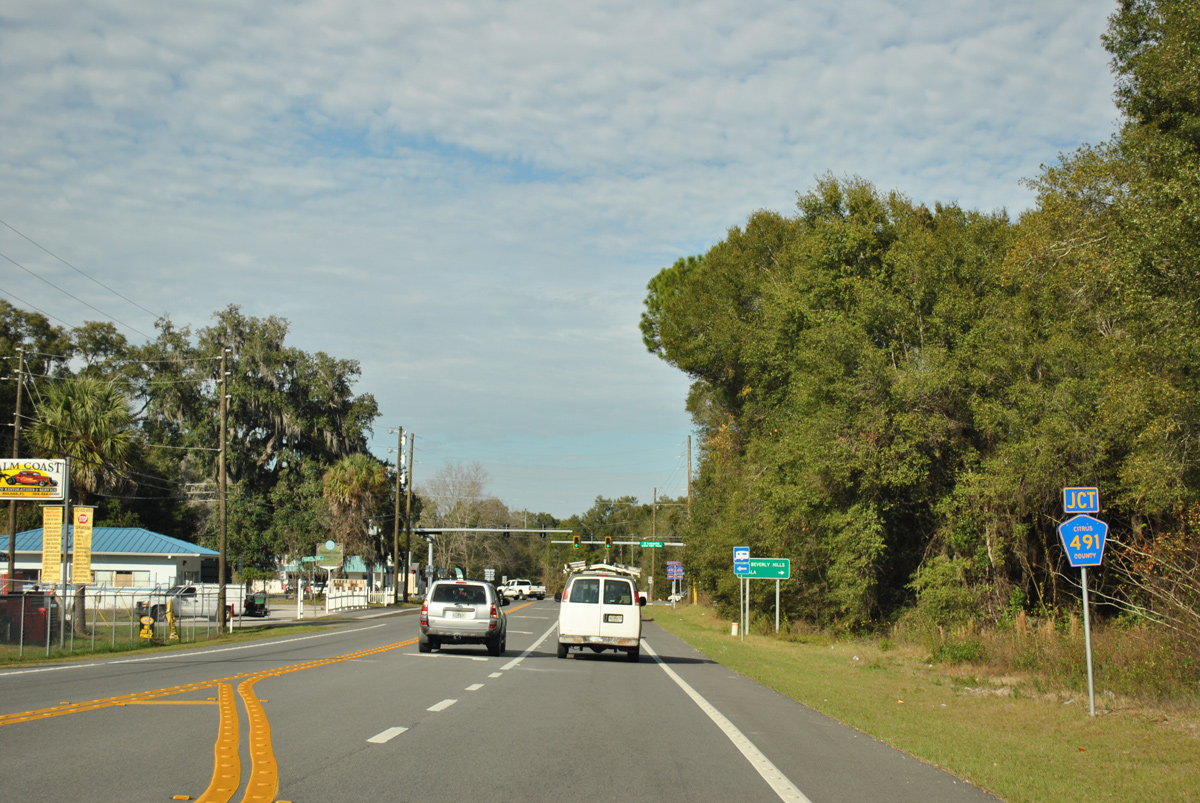
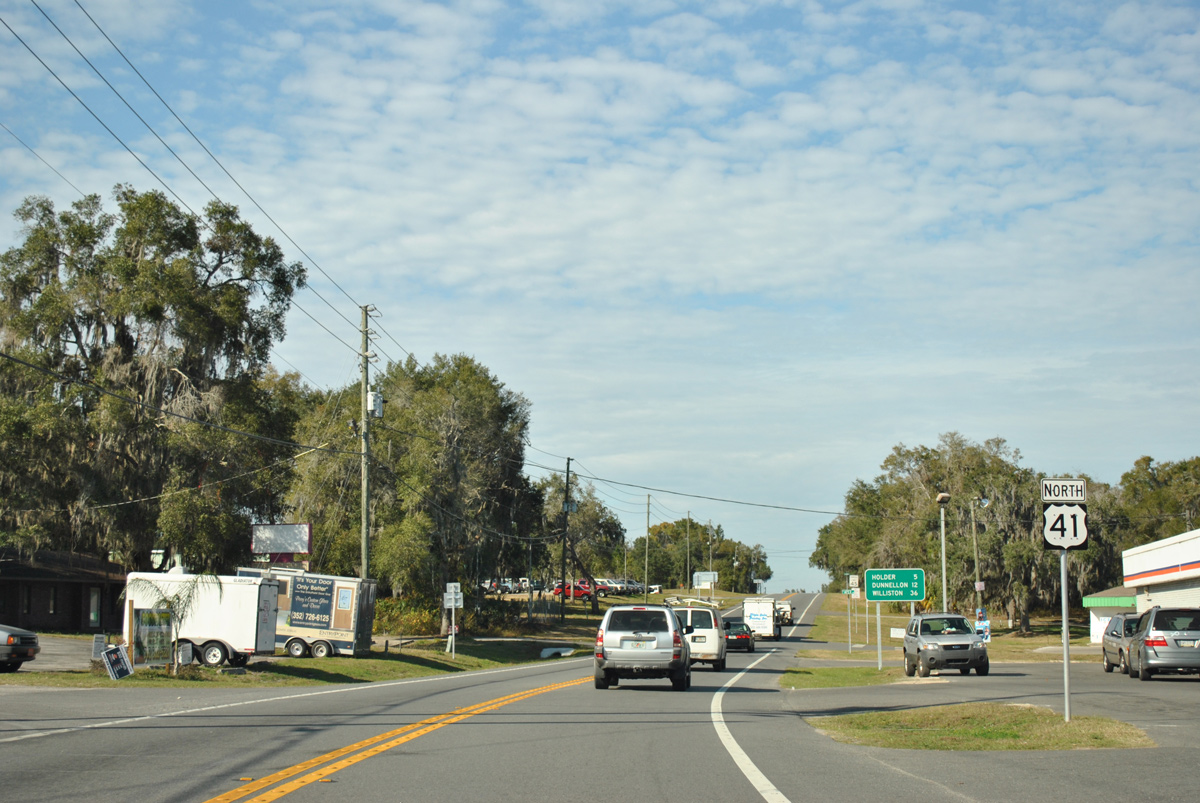
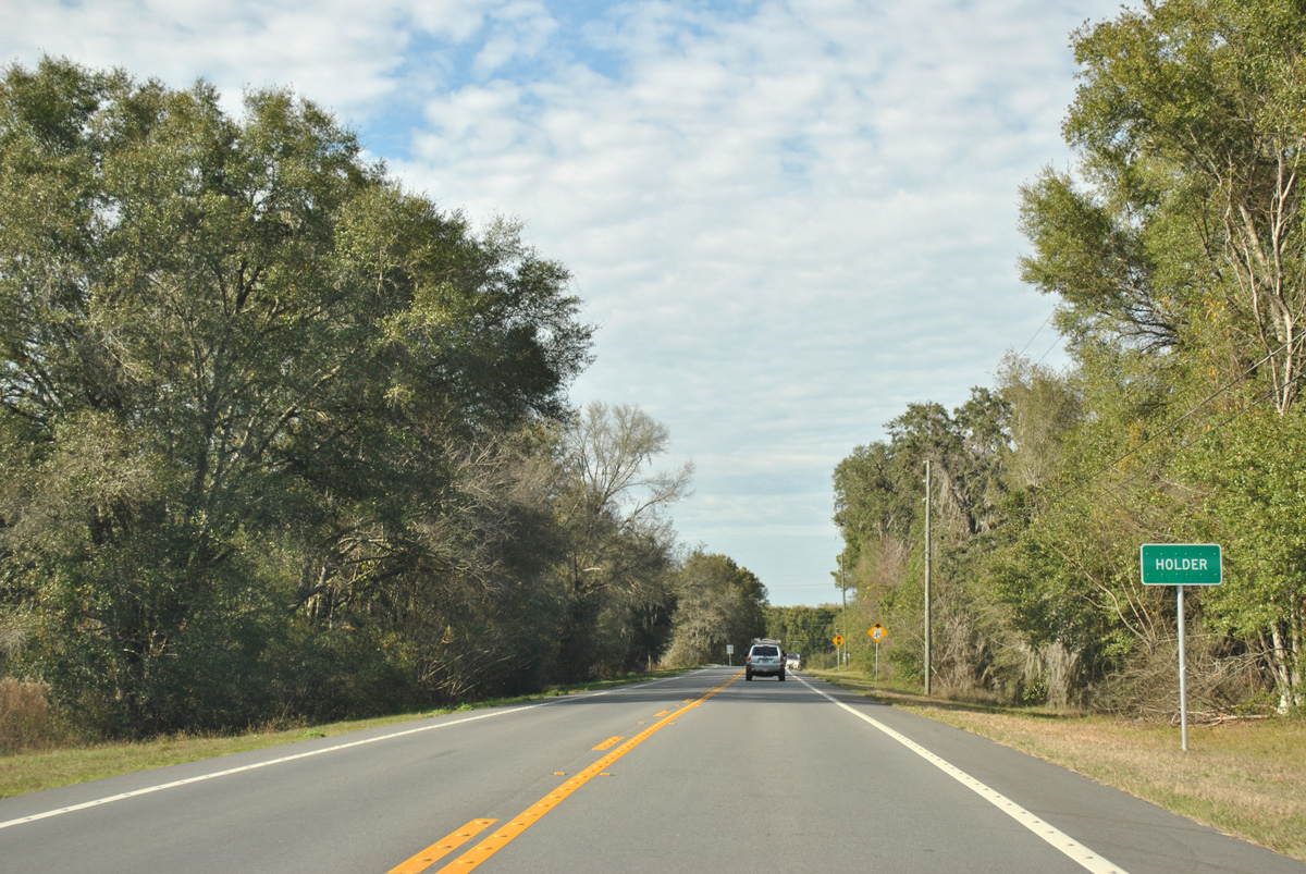
CR 491 (Lecanto Highway) arcs northeast from Lecanto to U.S. 41 at Holder and SR 200 southwest of the Marion County line.
12/26/11
12/26/11
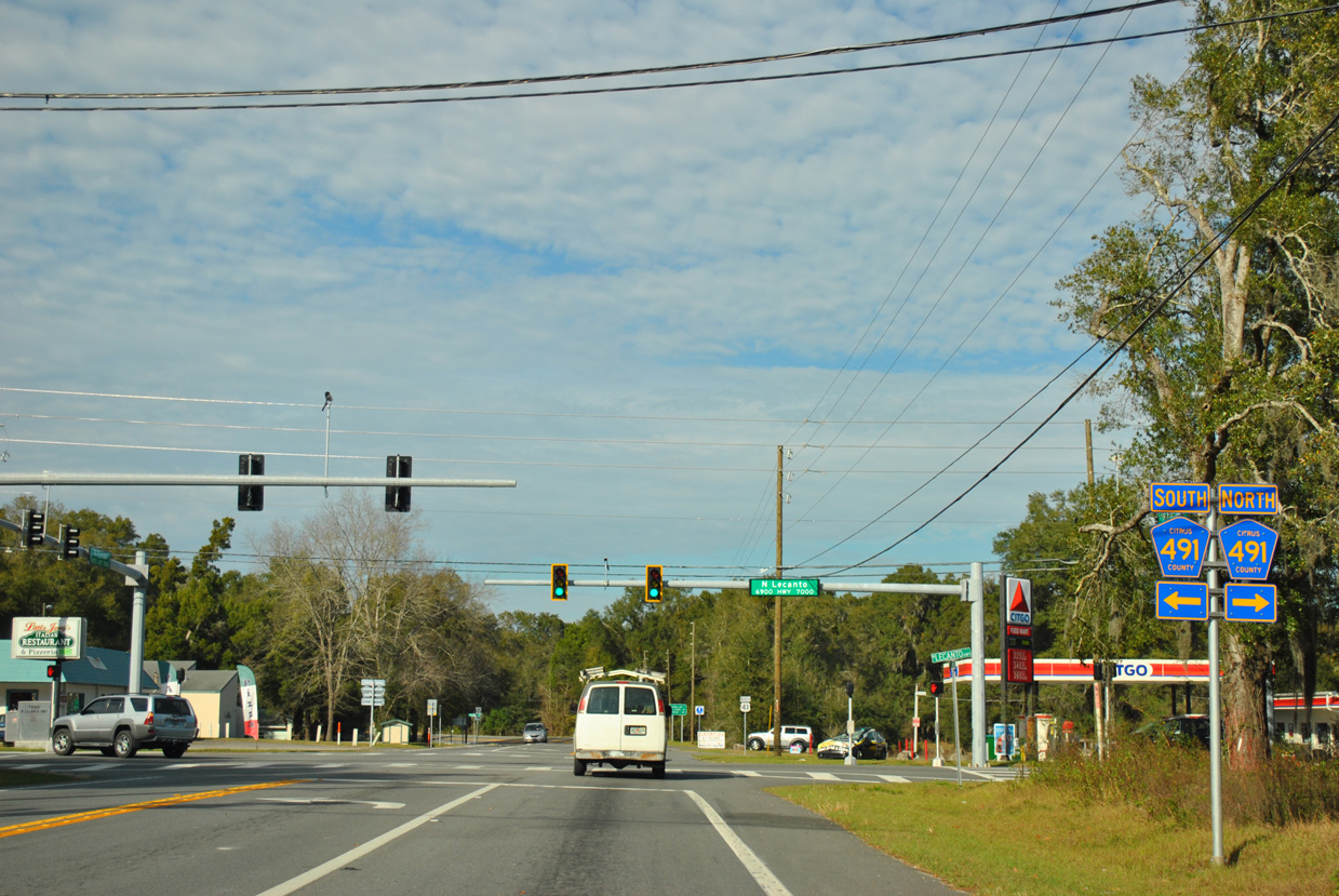
CR 491 originates to the west of Brooksville and heads north to Beverly Hills and east of U.S. 41 to Bevens. Traffic lights replaced a four way stop at U.S. 41 and CR 491 after 2006.
12/26/11
12/26/11
10/23/19
10/23/19
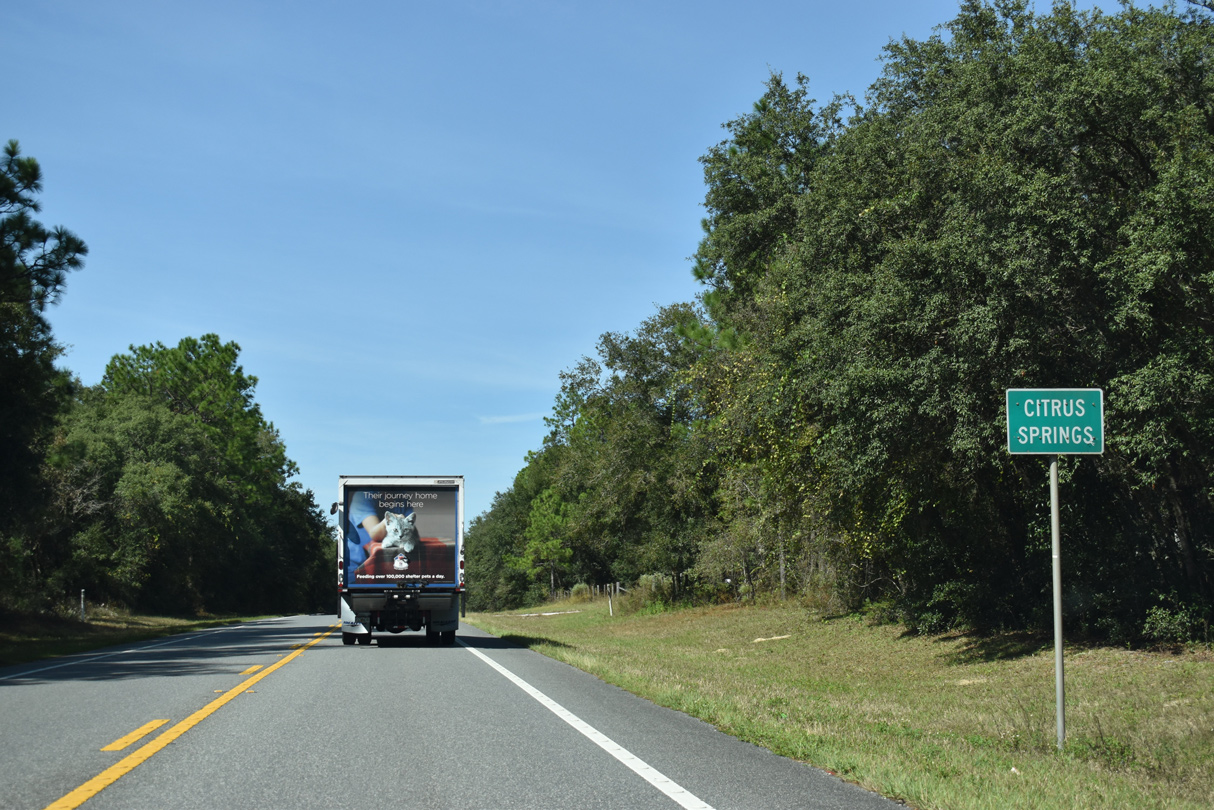
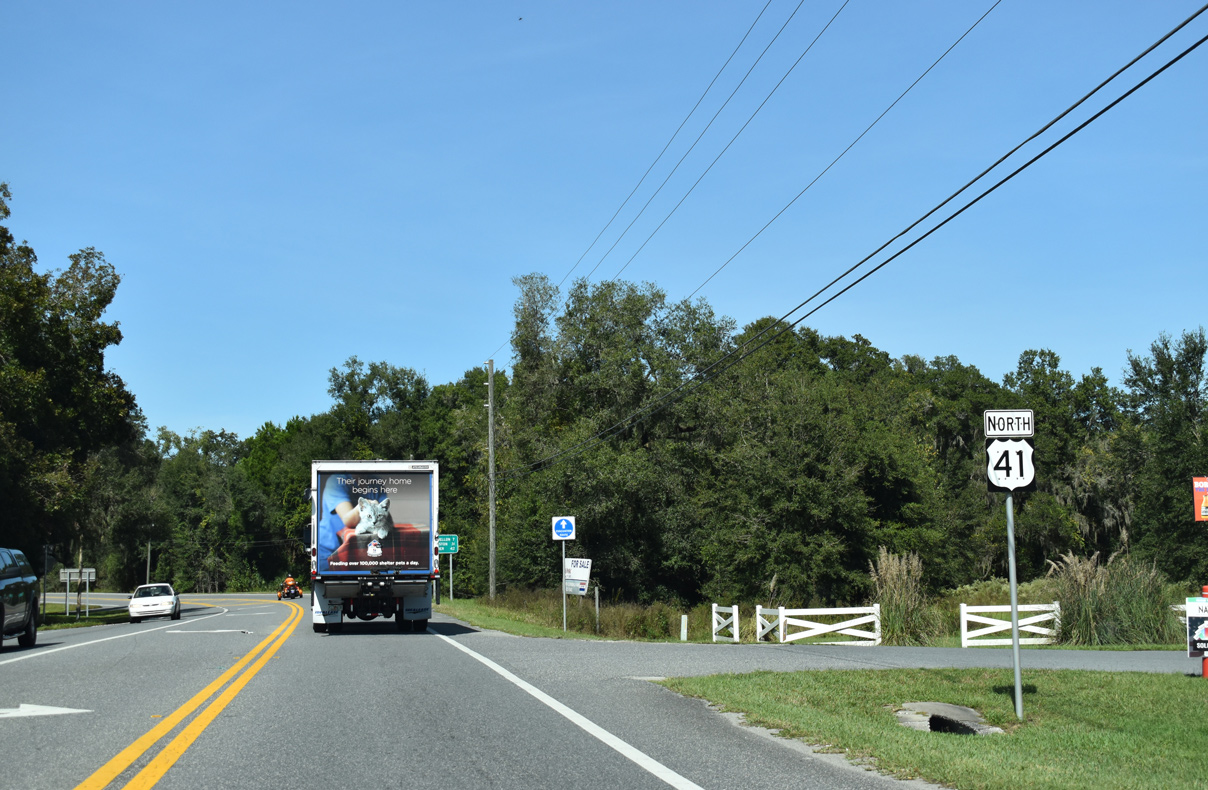
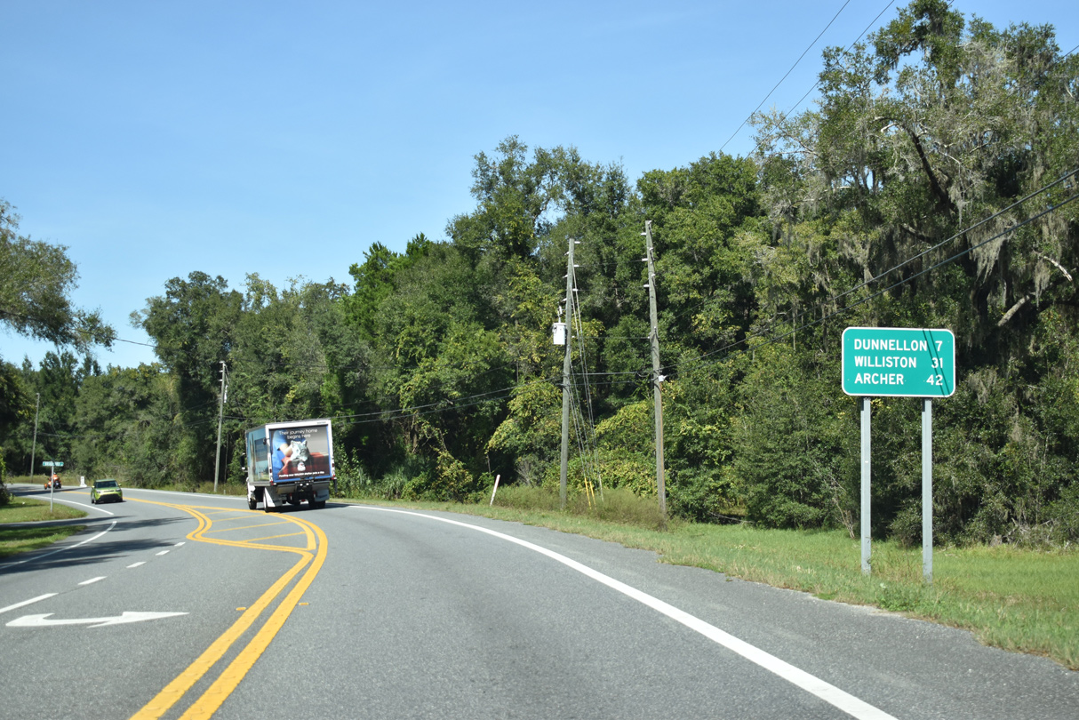
U.S. 41 advances north from Holder into the Citrus Springs community.
10/23/19
10/23/19

10/23/19
10/23/19
10/23/19
10/23/19
10/23/19
10/23/19
U.S. 41 (Florida Avenue) spans a CSX Railroad line leading into the intersection with CR 488 (Dunnell Road). CR 488 connects with CR 495 (Citrus Avenue) south to Citronelle and Crystal River.
10/23/19
10/23/19
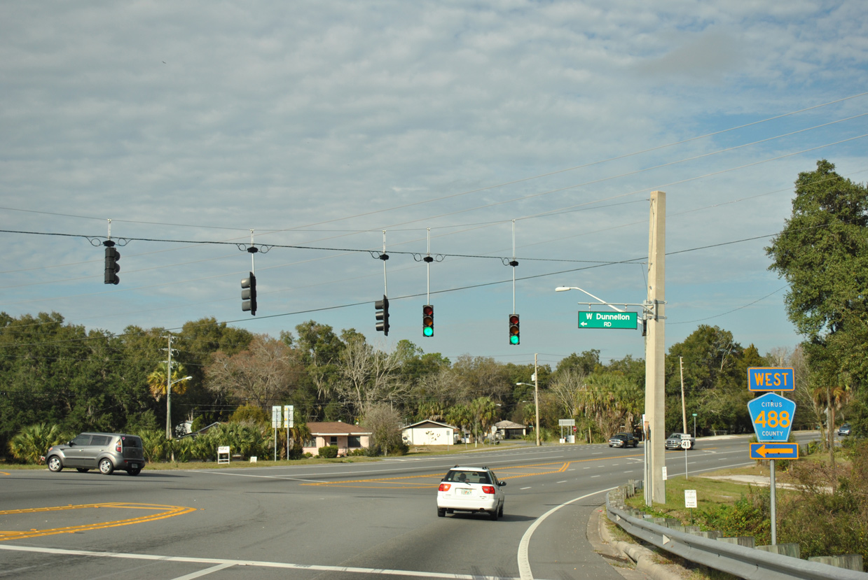
The CR 488 pentagon on U.S. 41 north at Dunnellon Road was removed by 2015. CR 488 runs 11.89 miles west to U.S. 19/98 at Red Level.
12/26/11
12/26/11
12/26/11
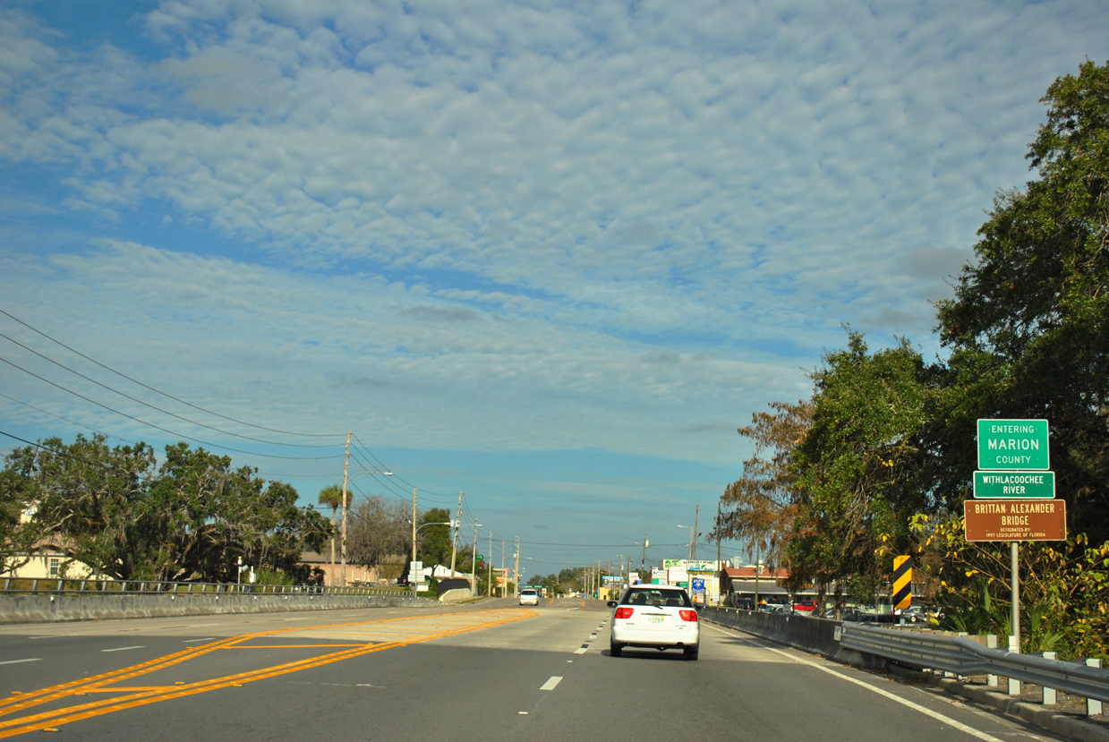
U.S. 41 crosses the Withlacoochee River along the Brittan Alexander Bridge into Marion County and the city of Dunnellon.
12/26/11
12/26/11
Photo Credits:
- Alex Nitzman: 12/16/19
- ABRoads: 11/26/11, 12/26/11, 11/25/12
- Alex Nitzman, JP Nasiatka: 10/23/19
Connect with:
Page Updated Tuesday May 19, 2020.