
U.S. 41 South - Vanderburgh County
South of the Interstate 64 interchange, only nine miles remain along U.S. 41 to Evansville. Despite the short distance there are many stoplights ahead as U.S. 41 enters the urbanized part of Evansville.
03/06/12
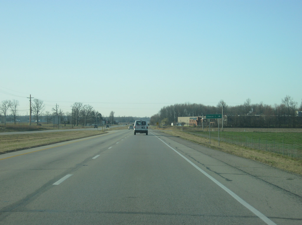
Stacer Road heads west from U.S. 41 to the community of Stacer.
03/06/12
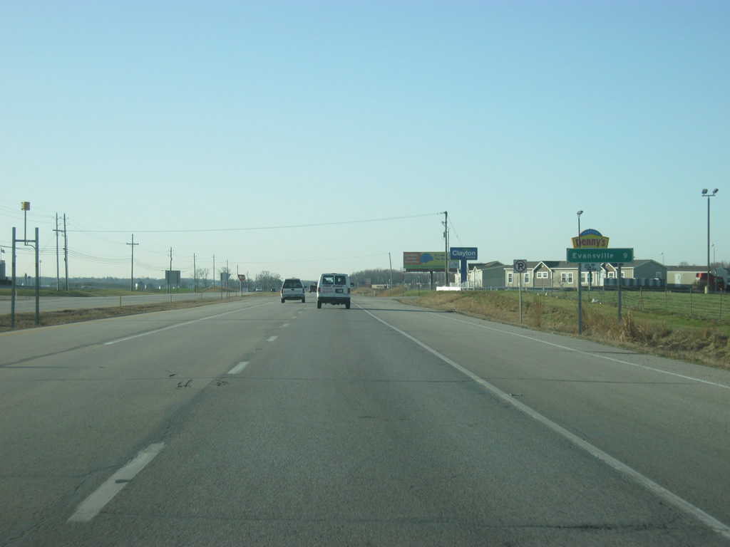
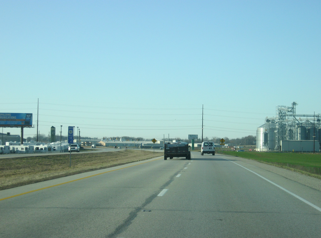
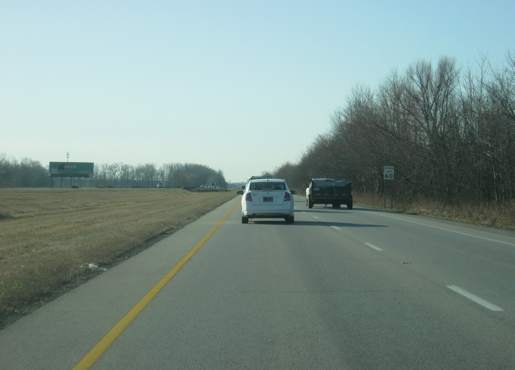
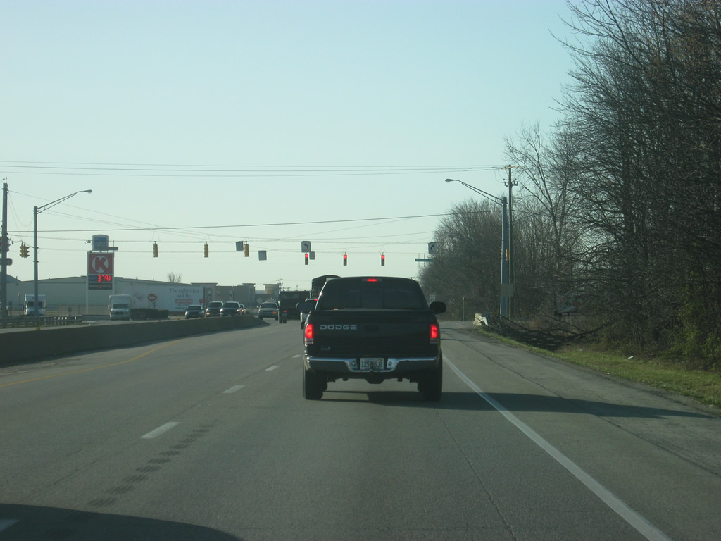
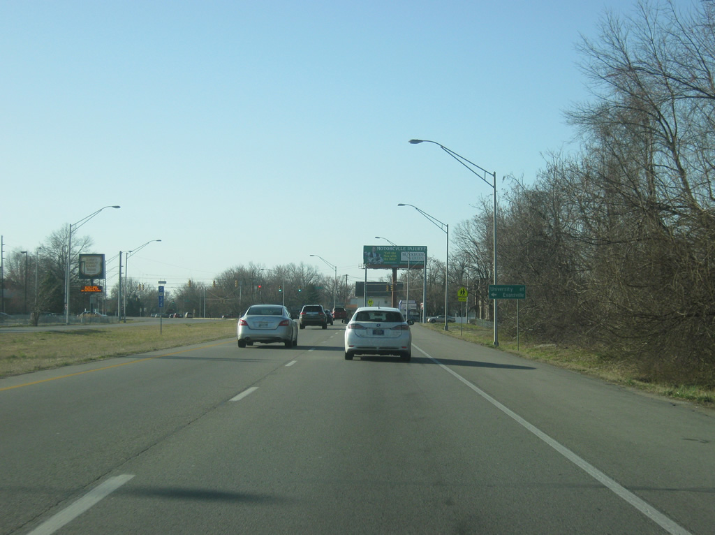
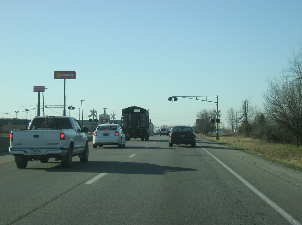
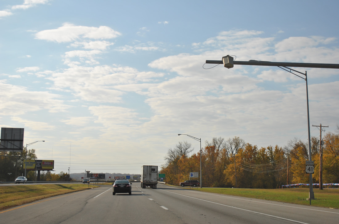
A mix of rural and industrial marks the landscape around U.S. 41 in northern Vanderburgh County, which has been growing with more people from Evansville and Princeton.
03/06/12
U.S. 41 approaches the intersection with Baseline Road. To the southeast of this intersection is the new North High School, which moved from the north side of Evansville to this new site to serve the growing population in this part of the county.
03/06/12
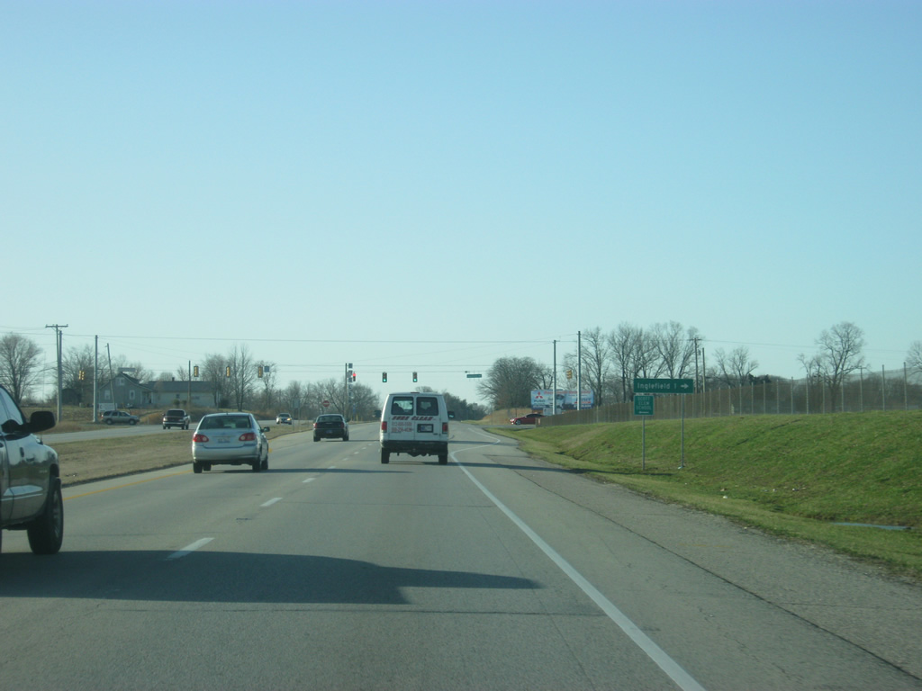
Approaching the intersection with Inglefield Road which heads west to the town of Inglefield.
03/06/12
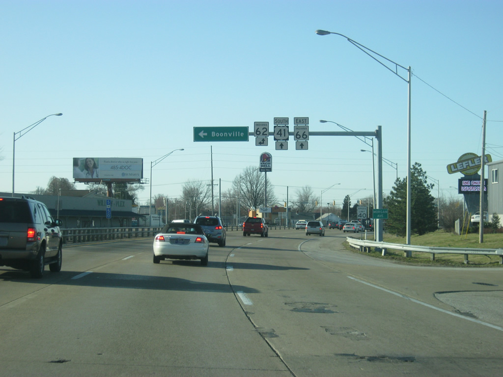
U.S. 41 approaches the intersection with Boonville-New Harmony Road, a major east-west road that crosses northern Vanderburgh County, connecting U.S. 41 with the town center of Darmstadt (population 1,313).
03/06/12
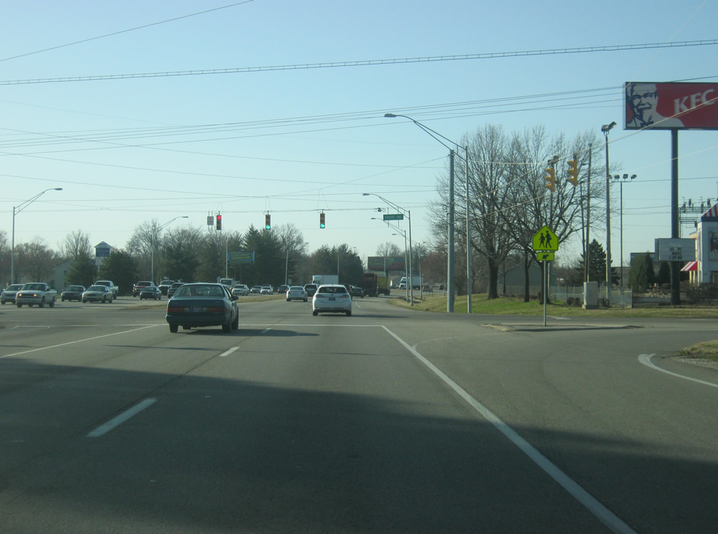
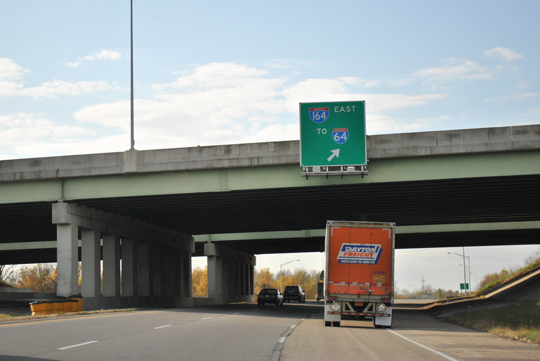
U.S. 41 at the intersection with Boonville-New Harmony Road, which continues east to an interchange with Interstate 164 (future Interstate 69).
03/06/12
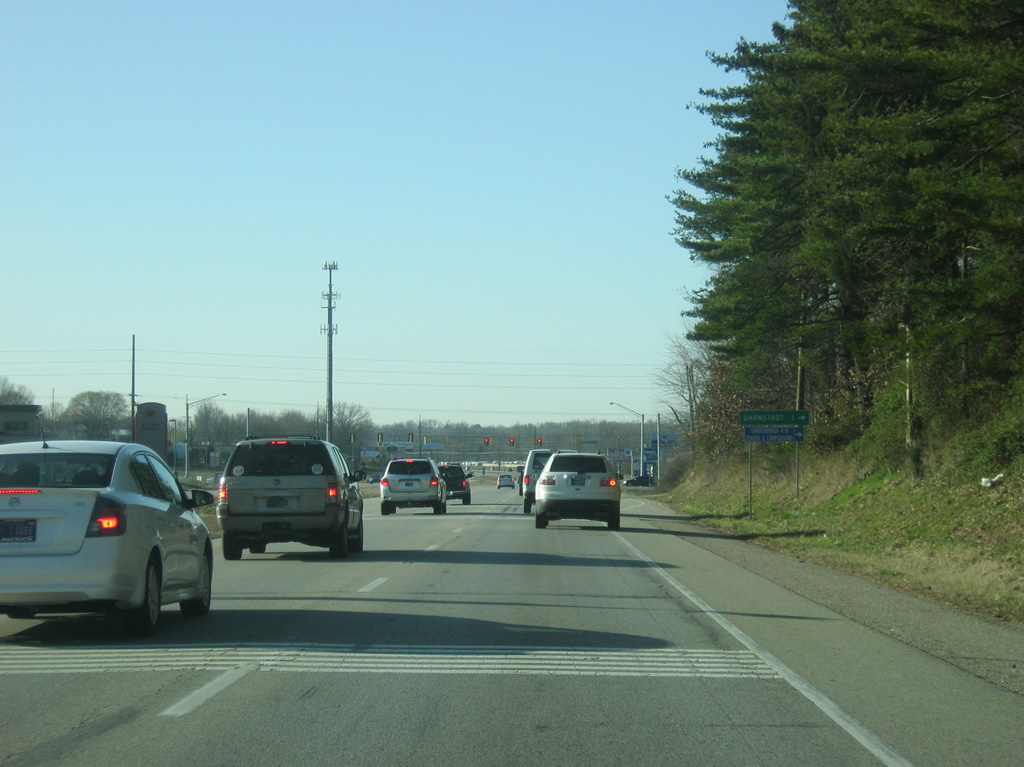
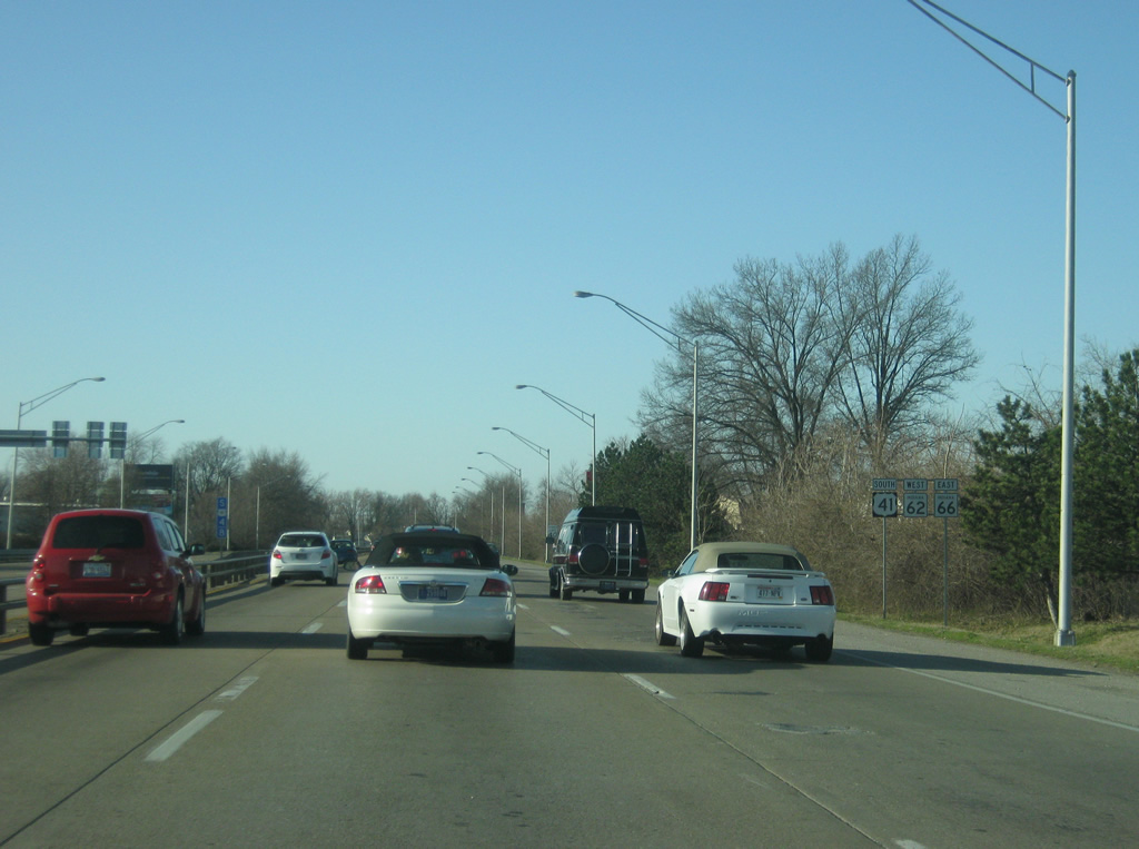
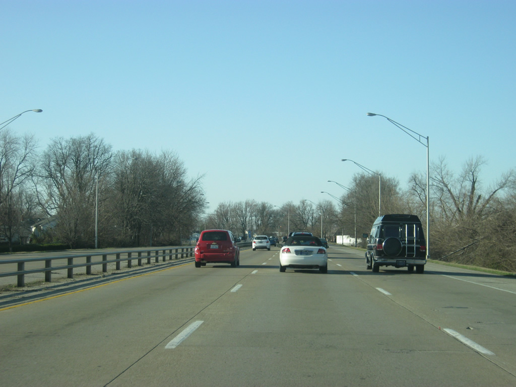
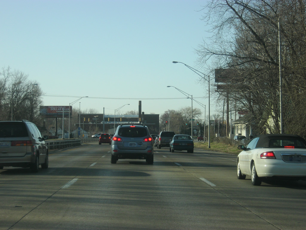
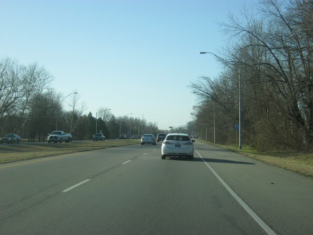
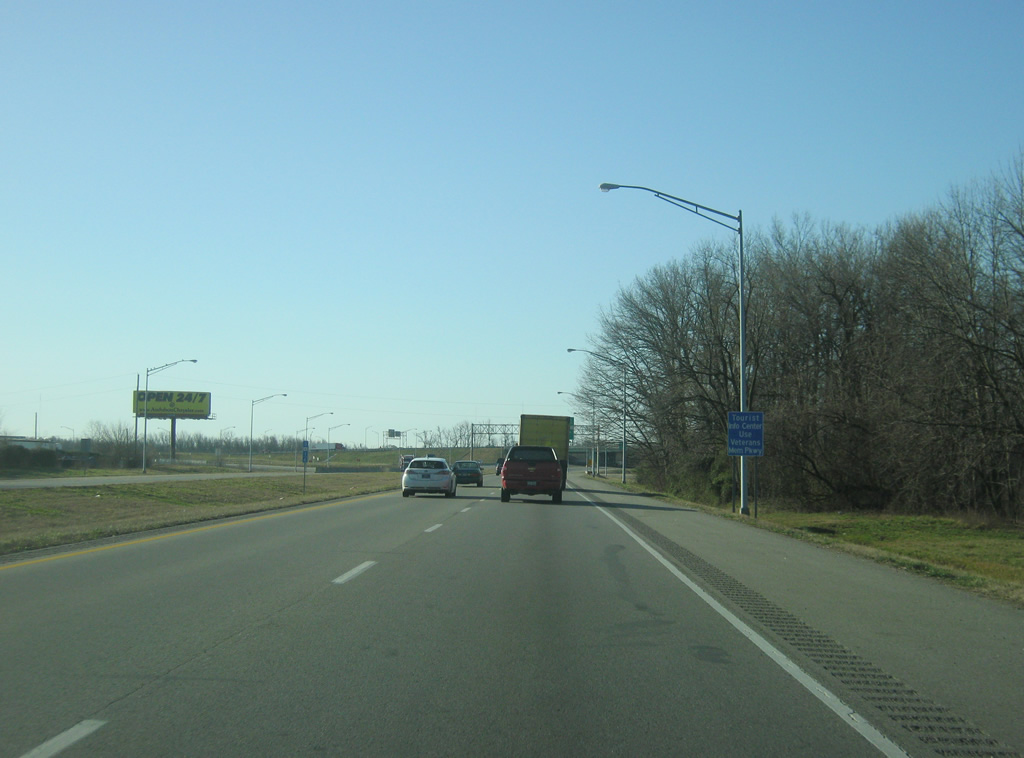
To the south of Darmstadt, U.S. 41 transitions from a semi-rural environment toward a suburban landscape as it enters the suburbs of Evansville.
03/06/12
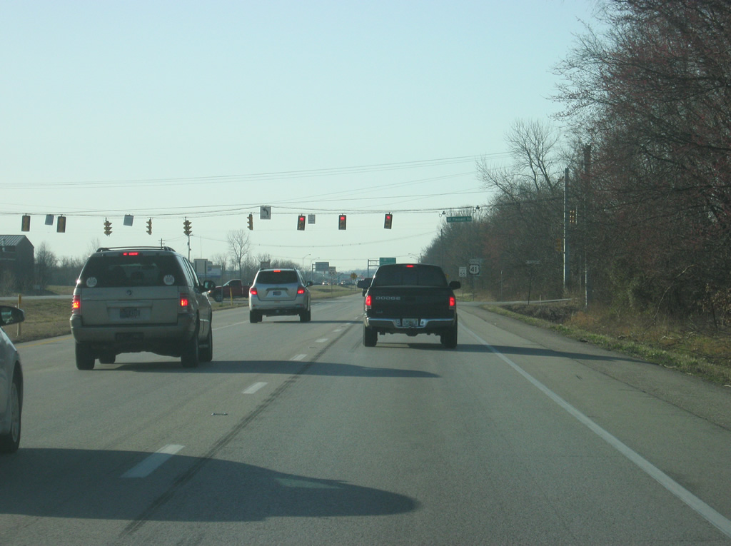
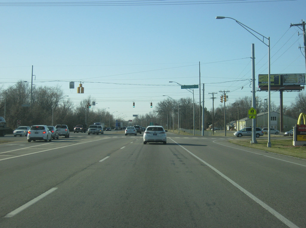
U.S. 41 south meets Mt. Pleasant Road at the next traffic light.
03/06/12

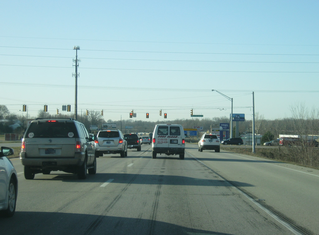
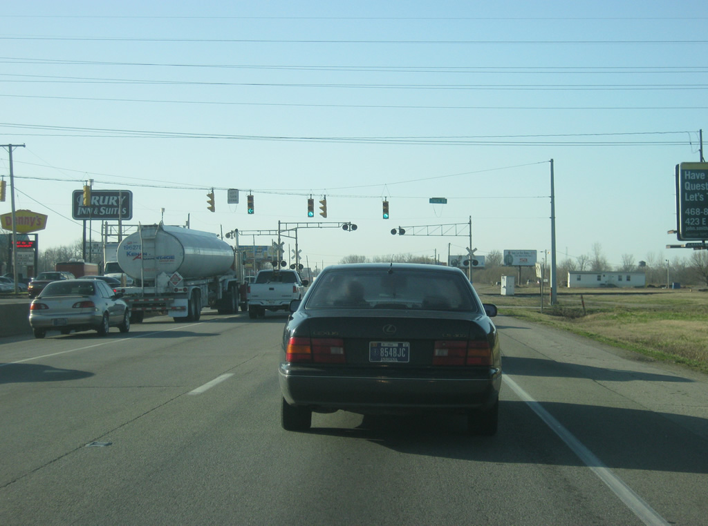
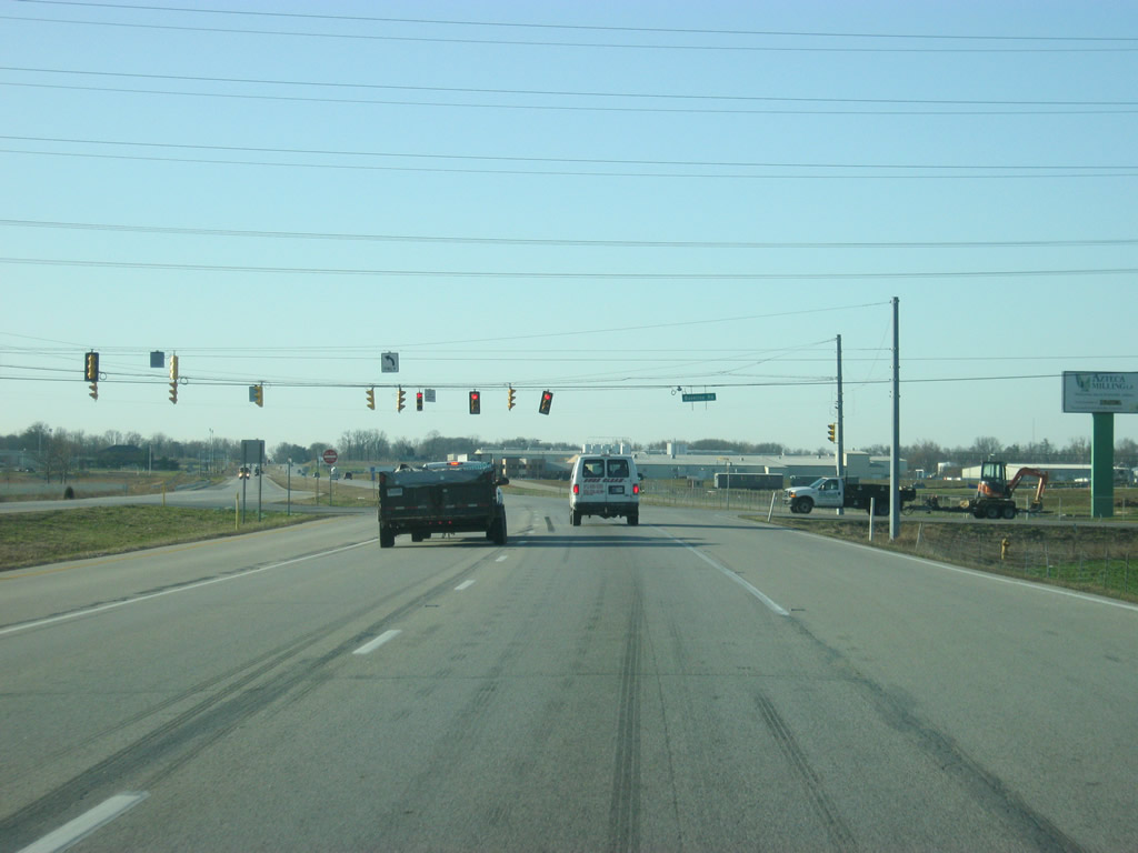
Traffic bound for the Evansville Regional Airport (EVV) is directed to use SR 57 north from the following intersection.
03/06/12
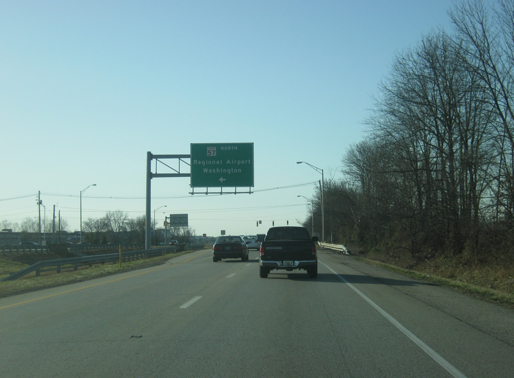
SR 57 begins its 80 mile journey here to the northeast through Oakland City, Petersburg and Washington to its northern end at U.S. 231 in Worthington. The new Interstate 69 supercedes its path from Interstate 64 north to northern Daviess County, potentially leading to its truncation in certain parts, but for now the route remains as it is.
03/06/12
U.S. 41 at the intersection with SR 57 north. The main terminal to the Evansville Regional Terminal is off of SR 57 nearby.
03/06/12
U.S. 41 crosses Petersburg Road, which serves a small business park near the Evansville airport.
03/06/12
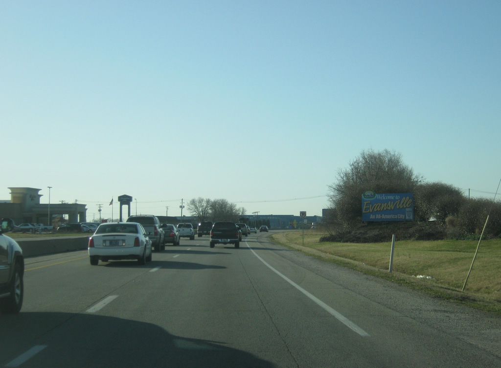
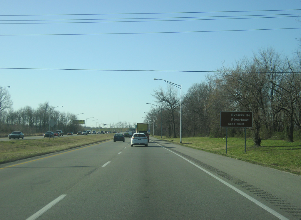
Passing by the Evansville Regional Airport, U.S. 41 enters the city of Evansville (population 117,429). Evansville, Indiana's third largest city, takes up most of the southern part of Vanderburgh County and is the major service and cultural center for the Tri-State metropolitan area.
03/06/12
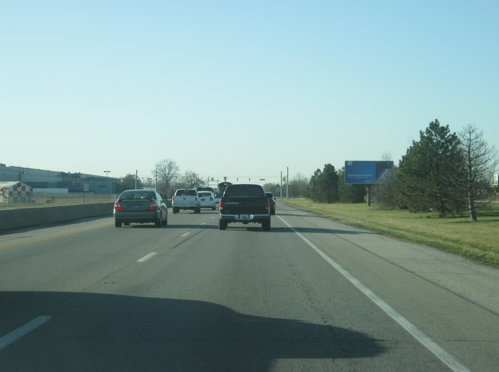
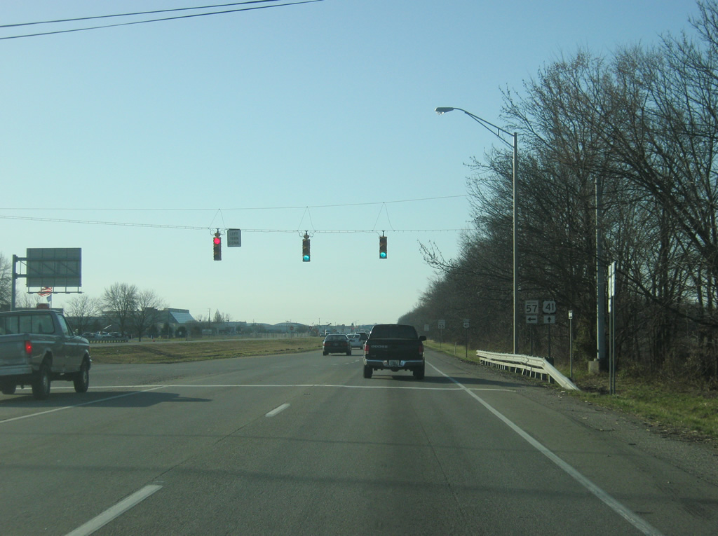
Industrial uses line U.S. 41 in the vicinity of the Evansville Regional Airport (EVV) and points south. U.S. 41 becomes a busy four lane highway as it crosses a railroad track ahead of the intersection with Lynch Road. Eventual plans call for U.S. 41 to be expanded to six lanes from the Mt. Pleasant Road intersection to the Diamond Avenue (SR 66) interchange.
03/06/12
Now coming up to the intersection with U.S. 41 and Lynch Road, which was built as a four lane arterial to connect U.S. 41 and Interstate 164 (future Interstate 69) to provide some traffic relief for Morgan Avenue (SR 62) to the south.
03/06/12
U.S. 41 meets Lynch Road on the north side of Evansville. From here, the highway enters the urbanized part of Evansville in earnest.
03/06/12
South of the Lynch Road intersection, an exit ramp turns off of U.S. 41 south for the Diamond Avenue Expressway (SR 66). The Diamond Avenue Expressway is a six lane highway that crosses the north side of Evansville, aiming toward the northwest in the direction of New Harmony on the Wabash River. The highway is six lanes west to 1st Avenue and four lanes to the Vanderburgh-Posey County line, with the remainder existing as a two lane highway.
03/06/12

The southbound lanes of U.S. 41 utilize a truss bridge over Pigeon Creek. The bridge was built in 1940 and likely will be replaced if the U.S. 41 widening project ever happens. To the right, the ramp from U.S. 41 south to the Diamond Avenue Expressway (SR 66) continues. South of the expressway, the ramp continues as Fares Avenue, which follows the original routing of U.S. 41 through Evansville.
03/06/12
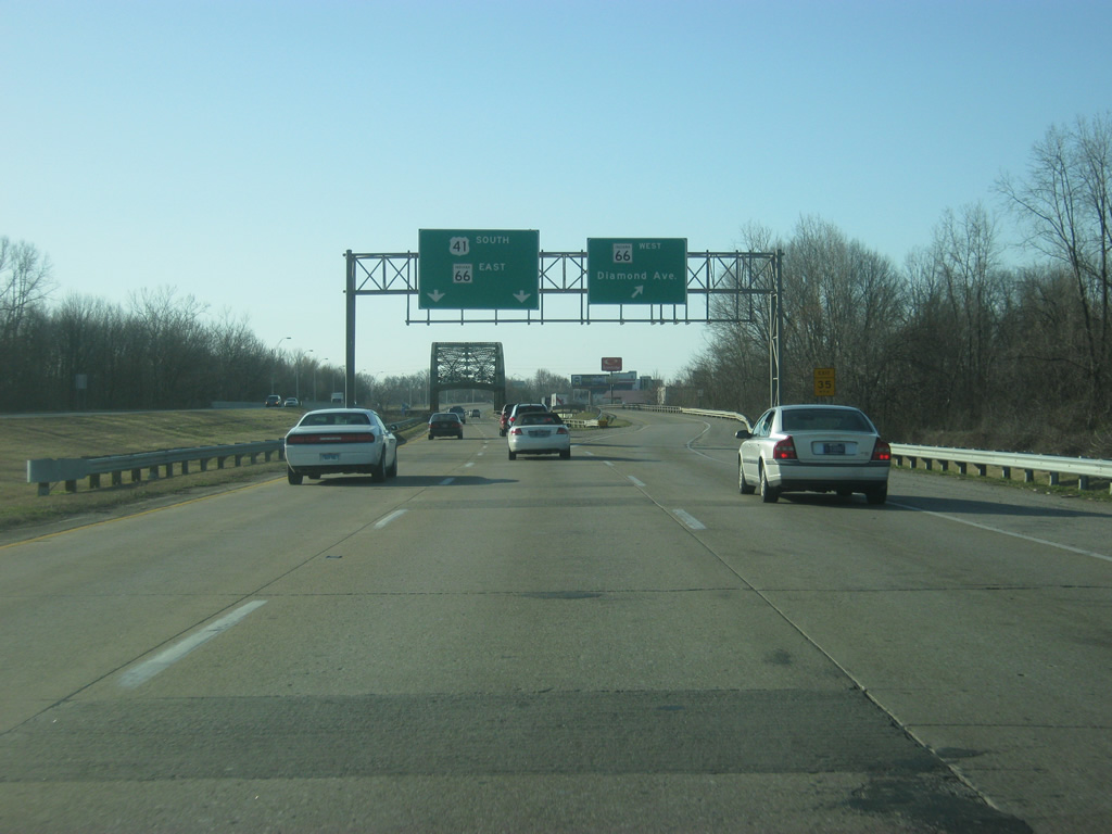
On the other side of the Diamond Avenue Expressway (SR 66) overpass, SR 66 east joins U.S. 41 south. SR 66 goes for 155 miles from New Harmony east toward Evansville, Newburgh, Rockport and Tell City before ending at U.S. 150 in Washington County.
03/06/12
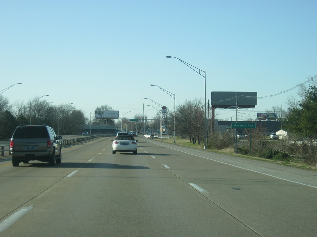
U.S. 41 & SR 66 east comprise a six lane expressway through the heart of Evansville. This scene looks at the concrete highway approach to the Maxwell Avenue turn off.
03/06/12
At the upcoming intersection with Morgan Avenue, SR 62 west joins U.S. 41 south & SR 66 east. SR 62 takes off to the east along Morgan Avenue across the northeast side of Evansville toward Interstate 164 and the Warrick County seat of Boonville.
03/06/12
SR 62 west joins U.S. 41 & SR 66 east beyond Morgan Avenue. SR 62 travels 228 miles from the Wabash River near Mt. Vernon east through Evansville, Boonville, Dale, Corydon, Jeffersonville and Madison before ending at SR 262 in Dillsboro.
03/06/12
Access is controled along U.S. 41 south, SR 62 west & SR 66 east south of Morgan Avenue. Fares Avenue, one block to the west, follows the pre-expressway routing of U.S. 41 through Evansville.
03/06/12
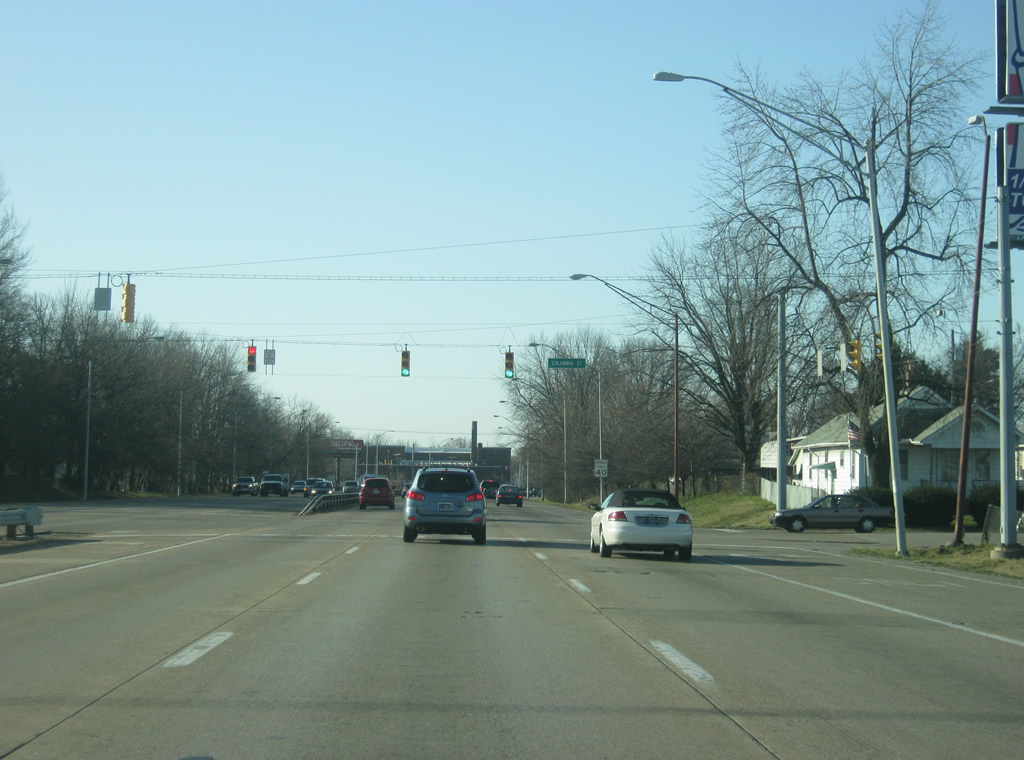
U.S. 41 south, SR 62 west & SR 66 east have an intersection next with Columbia Avenue, which heads west past Deaconess Hospital and St. Joseph Avenue via Delaware Street.
03/06/12
South of Columbia Avenue, the trio make their way to the intersection with Virginia Street.
03/06/12
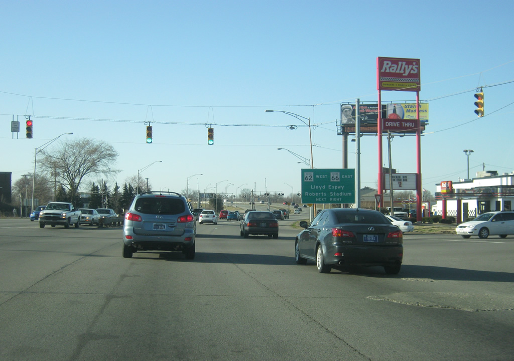
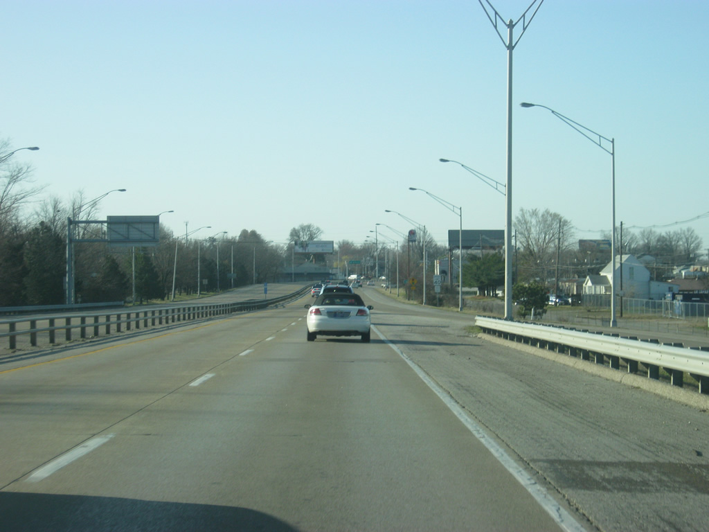
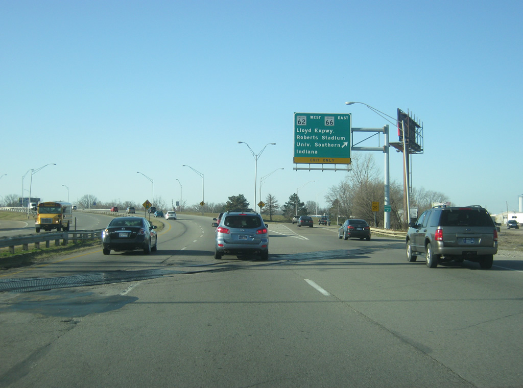
Virginia Street ventures west across the central part of Evansville toward St. Joseph Avenue. To the south of this intersection, U.S. 41 enters a parclo interchange with the Lloyd Expressway, a major six lane highway that crosses Evansville from east to west. Traffic heading toward Downtown Evansville should use the Lloyd Expressway to the west.
03/06/12
SR 66 east and SR 62 west depart U.S. 41 south for the Lloyd Expressway. Both routes follow the Lloyd, but in opposite directions.
The parclo interchange is slated to become a cloverleaf interchange with construction starting in 2014. Traffic heading to the University of Southern Indiana should use the Lloyd to the west side of Evansville to that university's campus. Traffic heading toward Roberts Stadiums should do nothing since the now-defunct facility is slated for demolition.
03/06/12
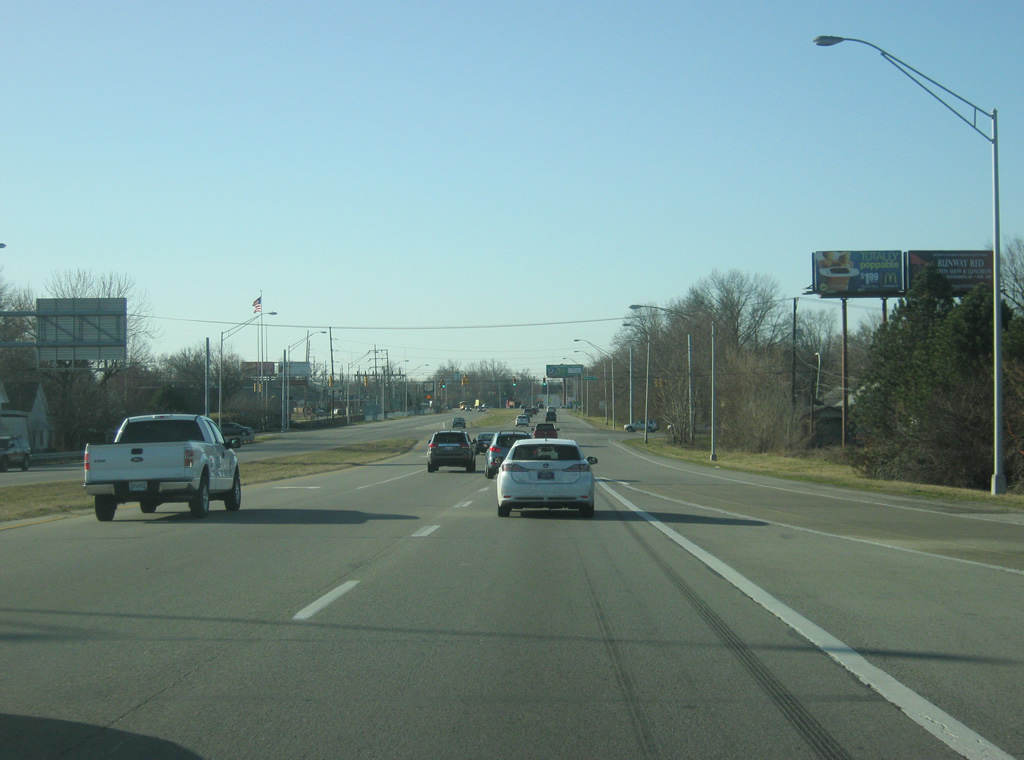
U.S. 41 returns to a four lane expressway beyond the Lloyd Expressway (SR 62 & SR 66) interchange. Walnut Street heads west from the next traffic light toward Downtown Evansville.
03/06/12
Forthcoming Lincoln Avenue heads east from U.S. 41 to the University of Evansville campus.
03/06/12
U.S. 41 travels through a generally residential area on the south side of Evansville. Kentucky Avenue, three blocks to the west of U.S. 41, now represents the original routing of the U.S. highway.
03/06/12
U.S. 41 crosses Washington Avenue, an east-west street that travels from 2nd Street, a few blocks from the Ohio River, east to Newburgh Road (former SR 62 and later SR 662).
03/06/12
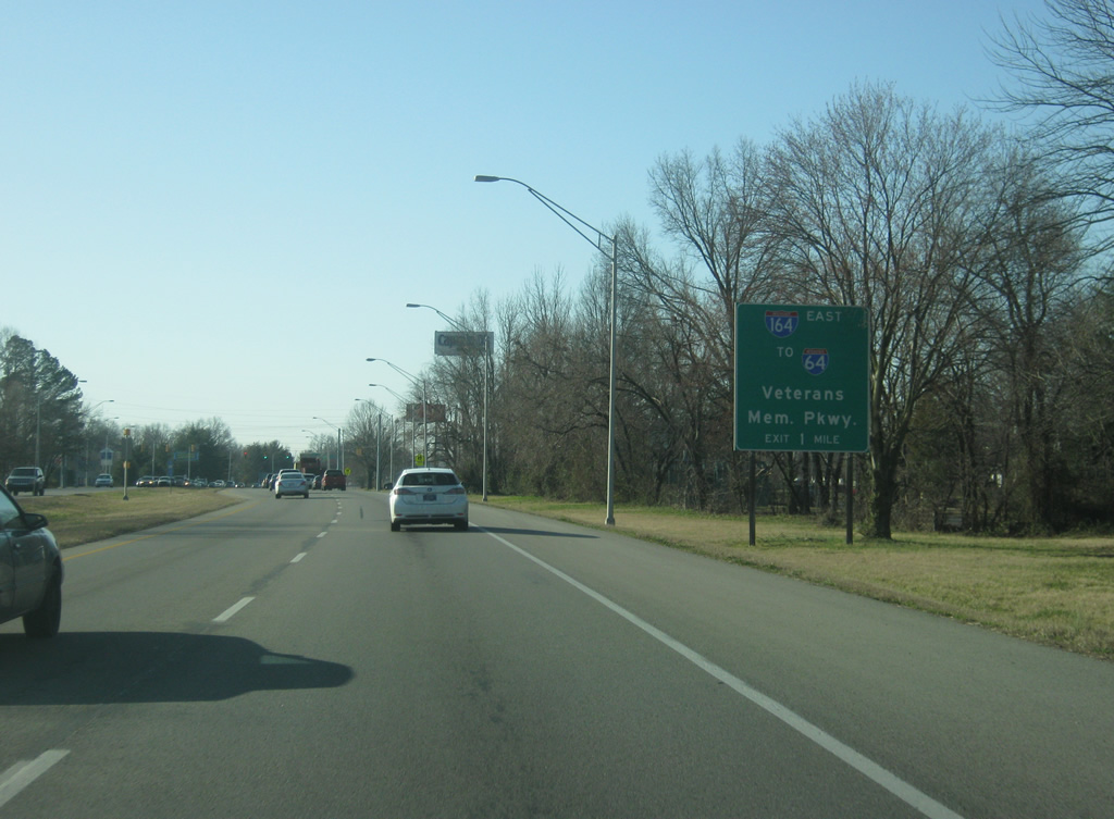
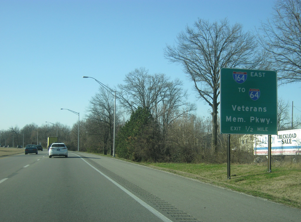
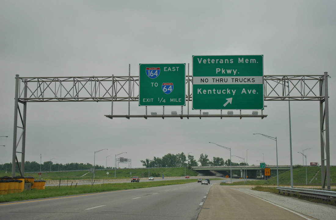
We are now a mile away from the interchange of U.S. 41 with Interstate 164 east and Veterans Memorial Parkway west. The Veterans Memorial Parkway is a four mile parkway that forms an unofficial extension of Interstate 164 to the northwest into Downtown Evansville.
03/06/12
U.S. 41 meets Covert Avenue as it approaches the interchange with Interstate 164 east & Veterans Memorial Parkway.
03/06/12
Leaving the residential south side of Evansville, U.S. 41 next meets Interstate 164 east and Veterans Memorial Parkway west at a cloverleaf interchange.
03/06/12
Traffic heading for Casino Aztar and the Evansville Visitors Center in Downtown Evansville should use the ramp for the Veterans Memorial Parkway to the west.
03/06/12
The westbound ramp to Veterans Memorial Parkway leads toward downtown Evansville along the Ohio Riverfront and Kentucky Avenue, a local north-south street.
05/27/11
Loop ramps along the south side of U.S. 41 come together without a c/d roadway, resulting in some weaving traffic, especially for trucks bound south for Henderson, Kentucky from Interstate 164 west. Interstate 164 east provides a direct route to Interstates 64 and 69 north of Newburgh.
11/07/11
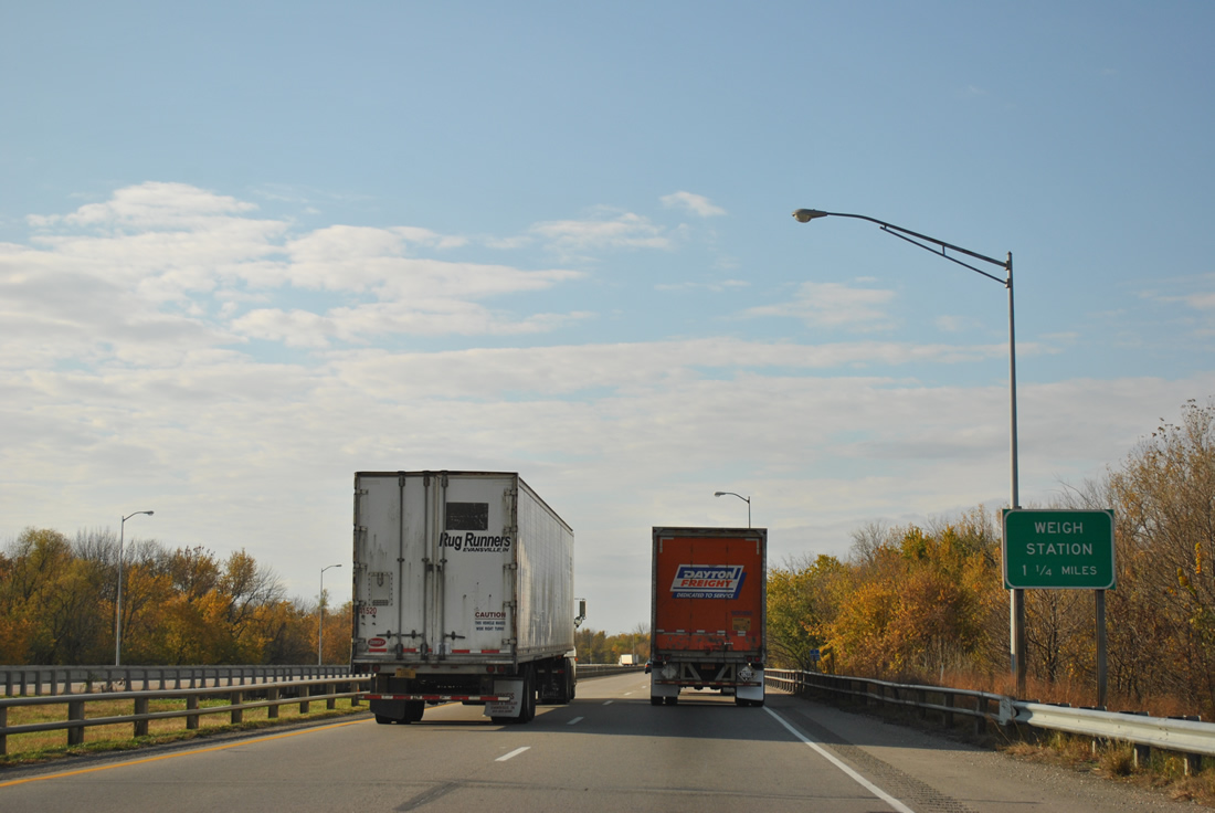
Still within the junction of Interstate 164 east, southbound truckers are advised of a weigh station 1.25 miles to the south in Henderson County, Kentucky.
11/07/11
A pair of bridges built in 1972 and reconstructed in 1985 span Eagle Creek ahead of the on-ramp from Kentucky Avenue and Veterans Memorial Parkway east.
11/07/11
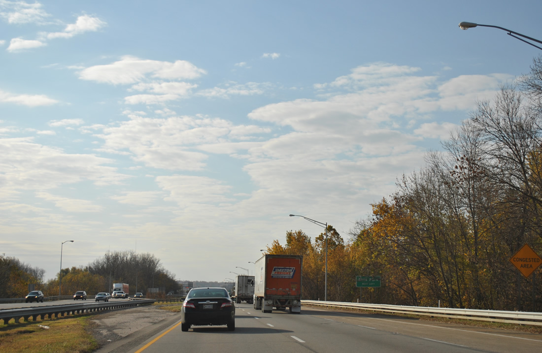
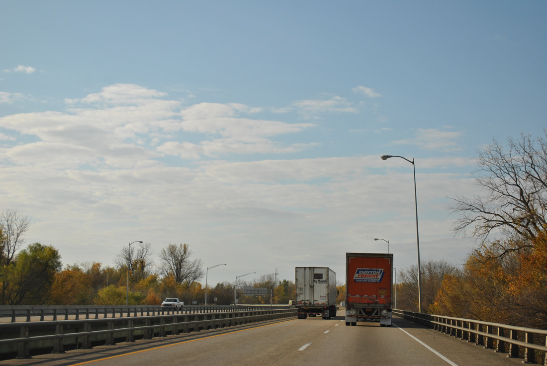
The stretch of U.S. 41 from Interstate 164 south to the beginning of the Pennyrile Parkway can be quite congested due to the number of businesses abutting the roadway, traffic lights and truck traffic.
11/07/11
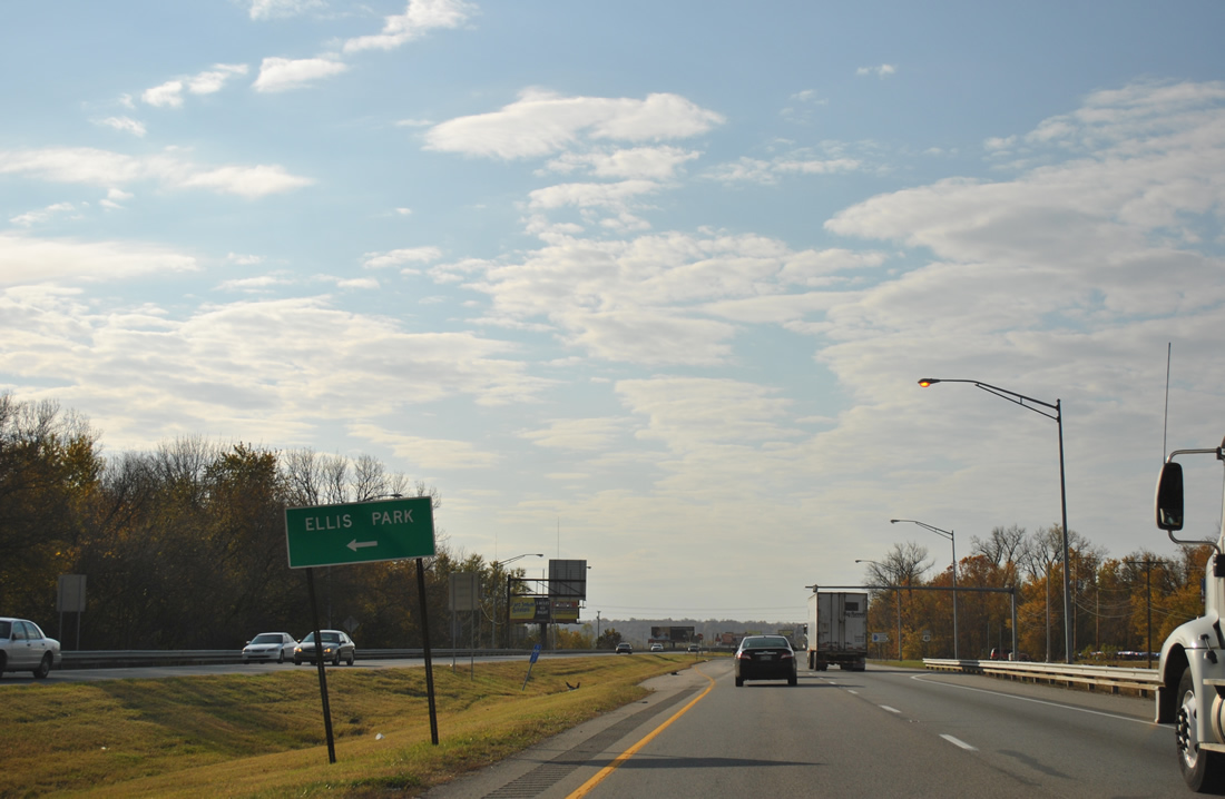
Waterworks Road intersects U.S. 41 ahead of the Kentucky state line to provide access to adjacent Ellis Park, a thoroughbred racetrack.
11/07/11
The final southbound reassurance shield for U.S. 41 precedes Waterworks Road and the state line. Green River Island, while north of the Ohio River, is a part of the Bluegrass State.
11/07/11
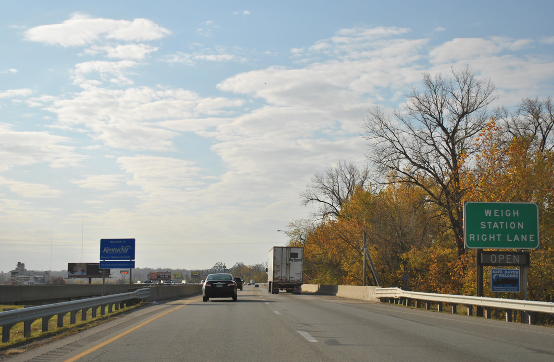
Superstructure of the Twin Bridges come into view as U.S. 41 crosses the Kentucky state line at Green River Island. The aforementioned weigh station follows.
11/07/11
Photo Credits:
- Thomas Decker: 03/06/12
- ABRoads: 05/27/11, 11/07/11
Connect with:
Page Updated Tuesday April 30, 2013.