
U.S. 41 South - Naples Manor to Monroe Station


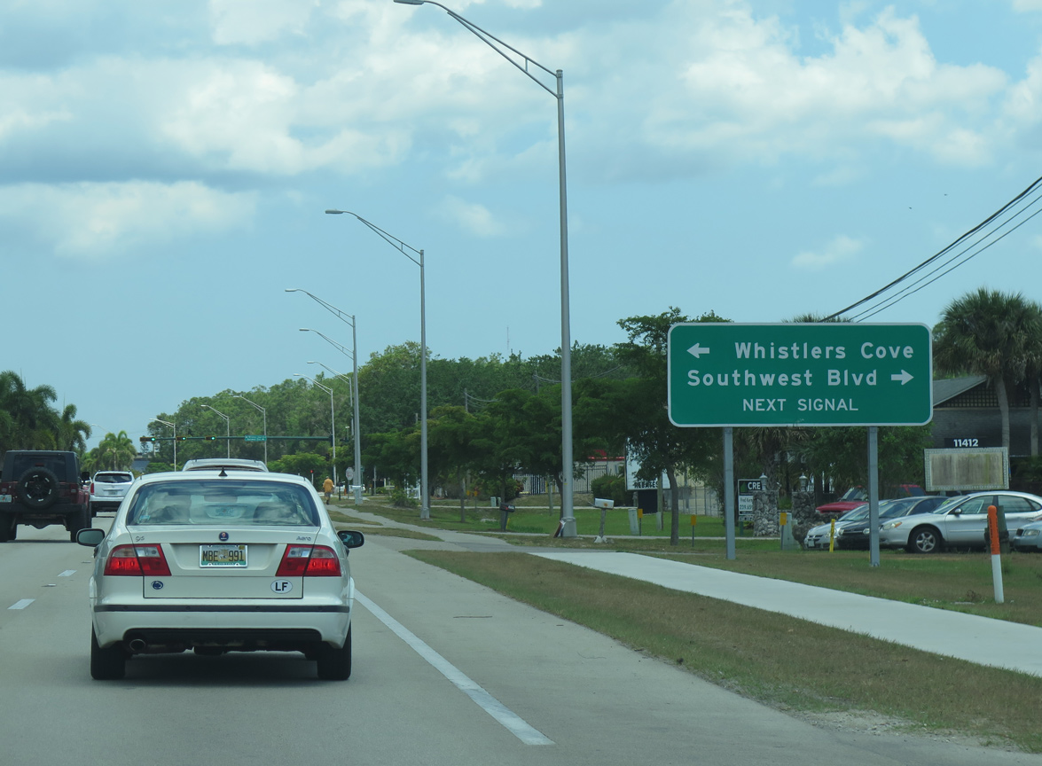
Saint Andrews Boulevard encircles the Lely Golf Estates and Lely Country Club neighborhoods northeast to CR 864 at Santa Barbara Boulevard.
01/02/07
01/02/07
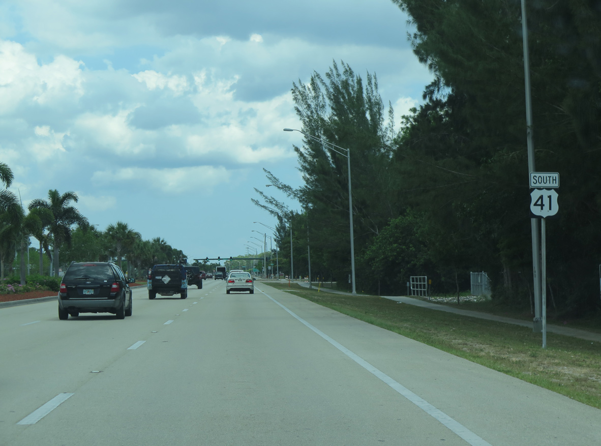
U.S. 41 angles southeast along the Naples Manor community. This shield stands by the intersection with Cypress Lane.
04/26/16
04/26/16
04/26/16
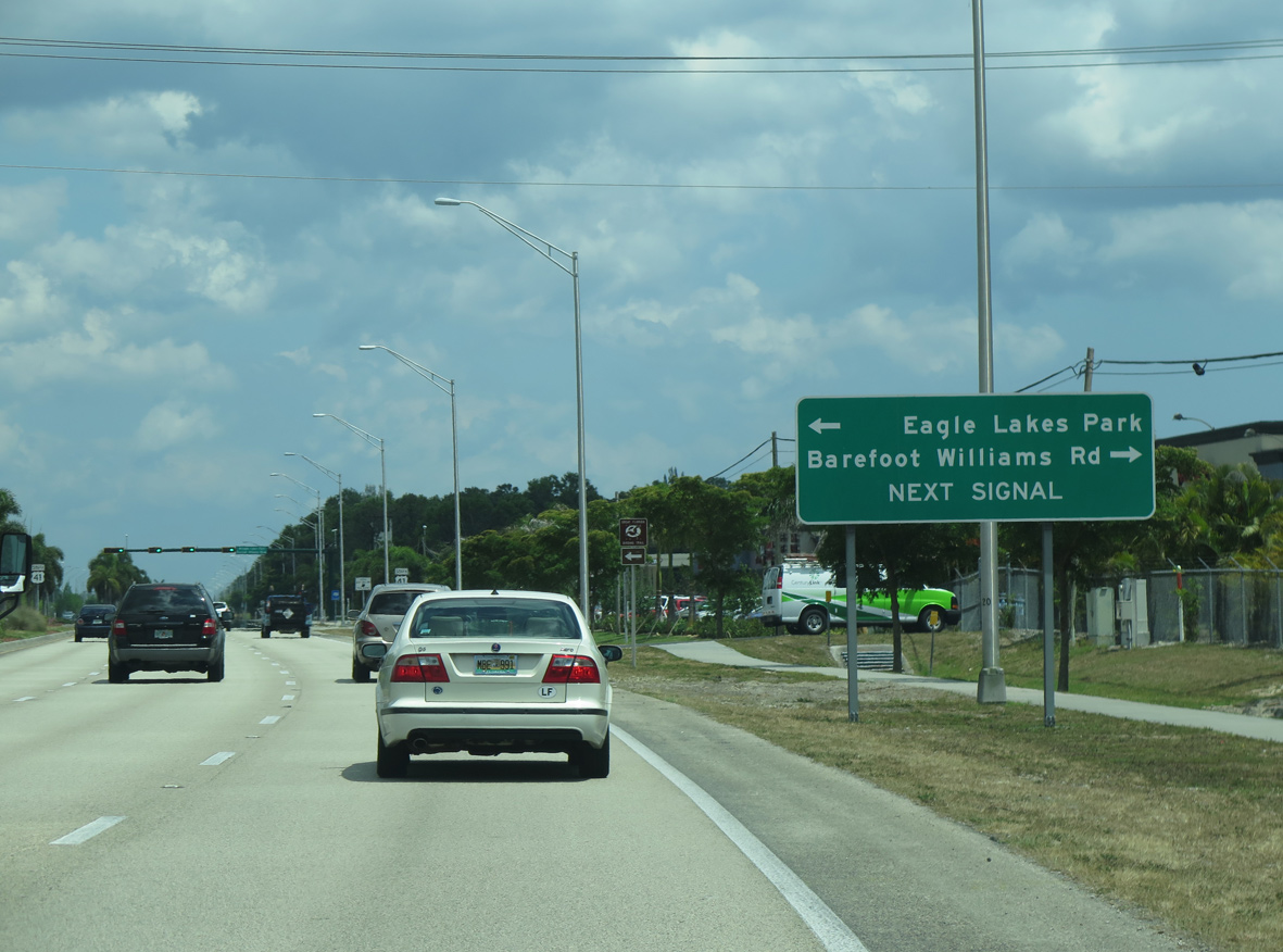
Barefoot Williams Road branches south from U.S. 41 at Eagle Lakes Community Park.
04/26/16
04/26/16

04/26/16
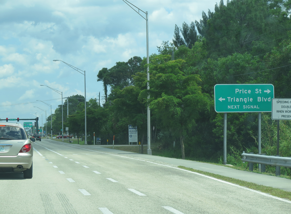
Price Street east and Triangle Boulevard west come together at U.S. 41 by Freedom Square Shopping Center.
04/26/16
04/26/16
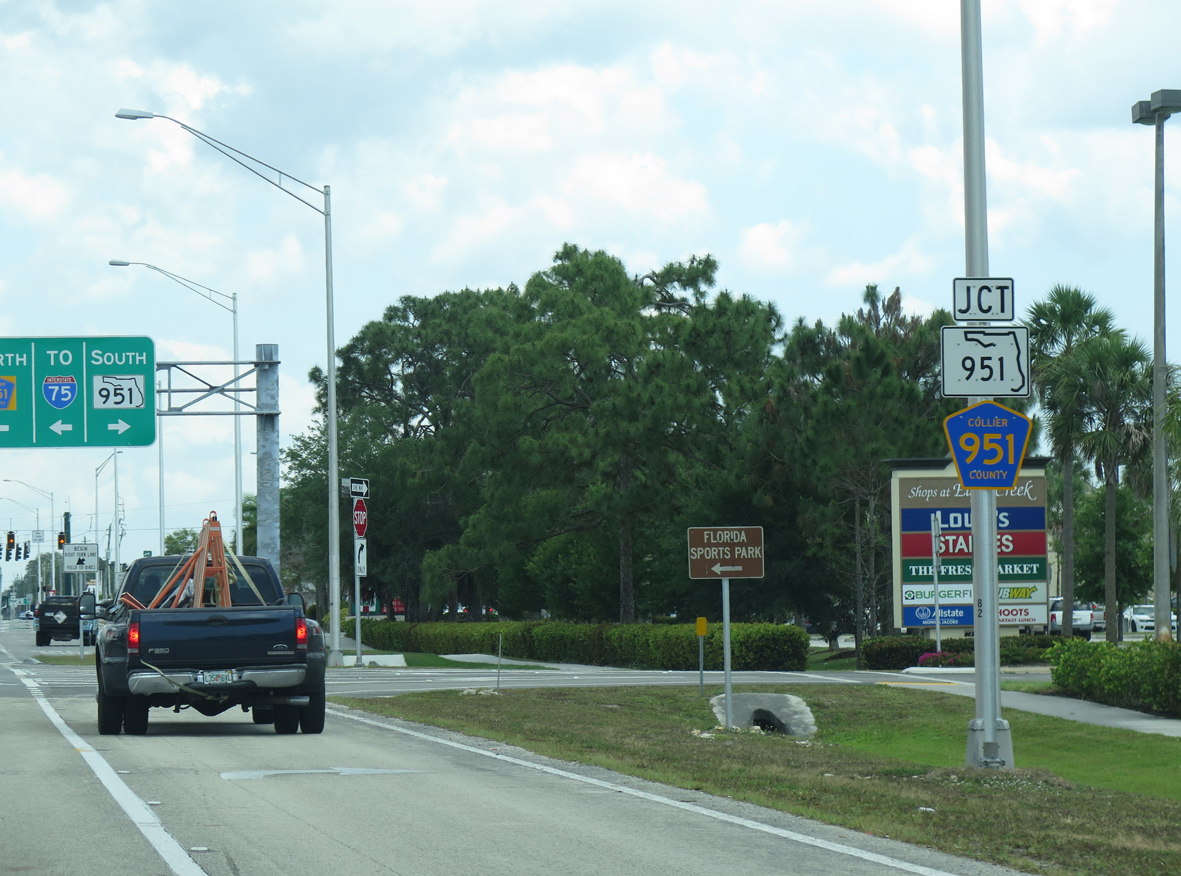
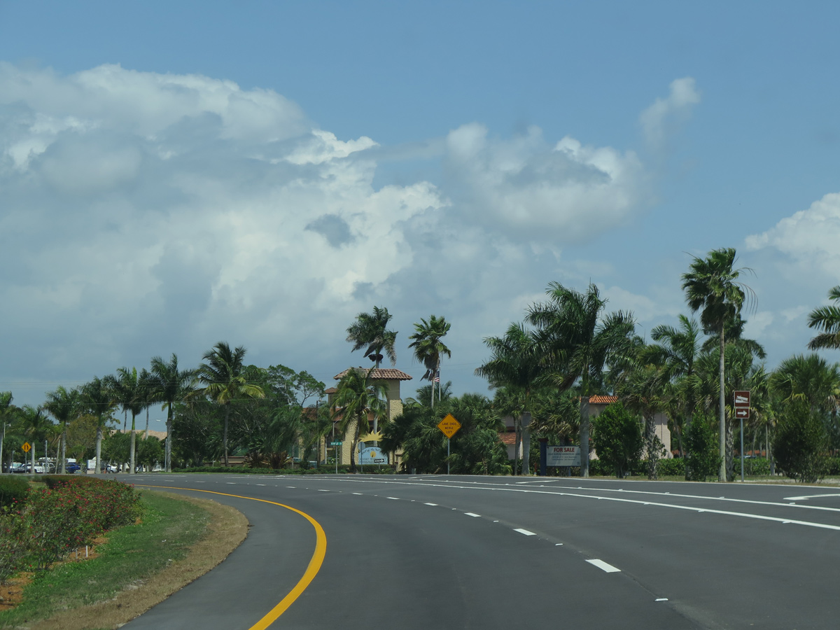
Entering the commercialized intersection with Collier Boulevard, SR 951 south to Marco Island and CR 951 north to Interstate 75 and Golden Gate.
04/26/16
04/26/16
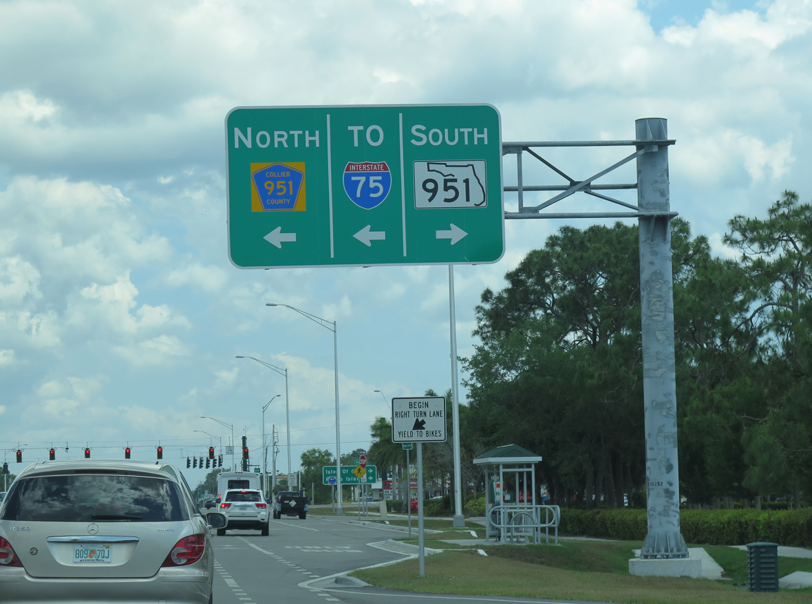
CR 951 extends Collier Boulevard north 6.5 miles to SR 84 (Davis Boulevard), where state maintenance resumes into the exchange with I-75.
04/26/16
04/26/16
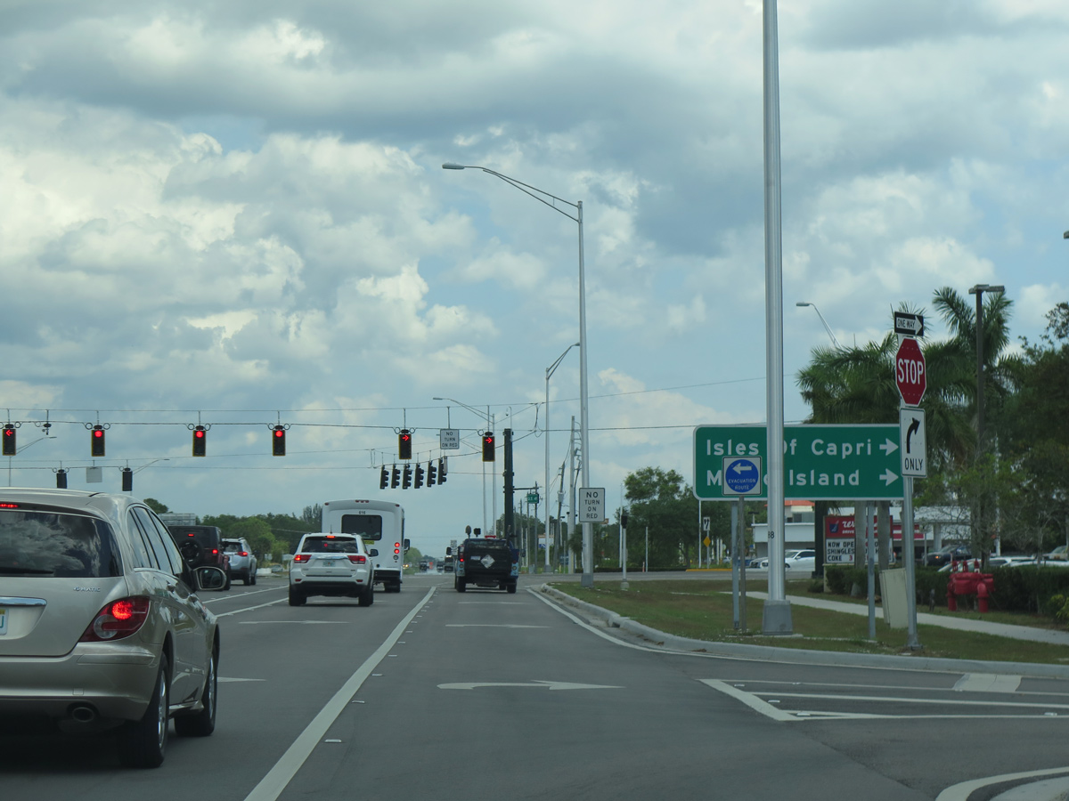
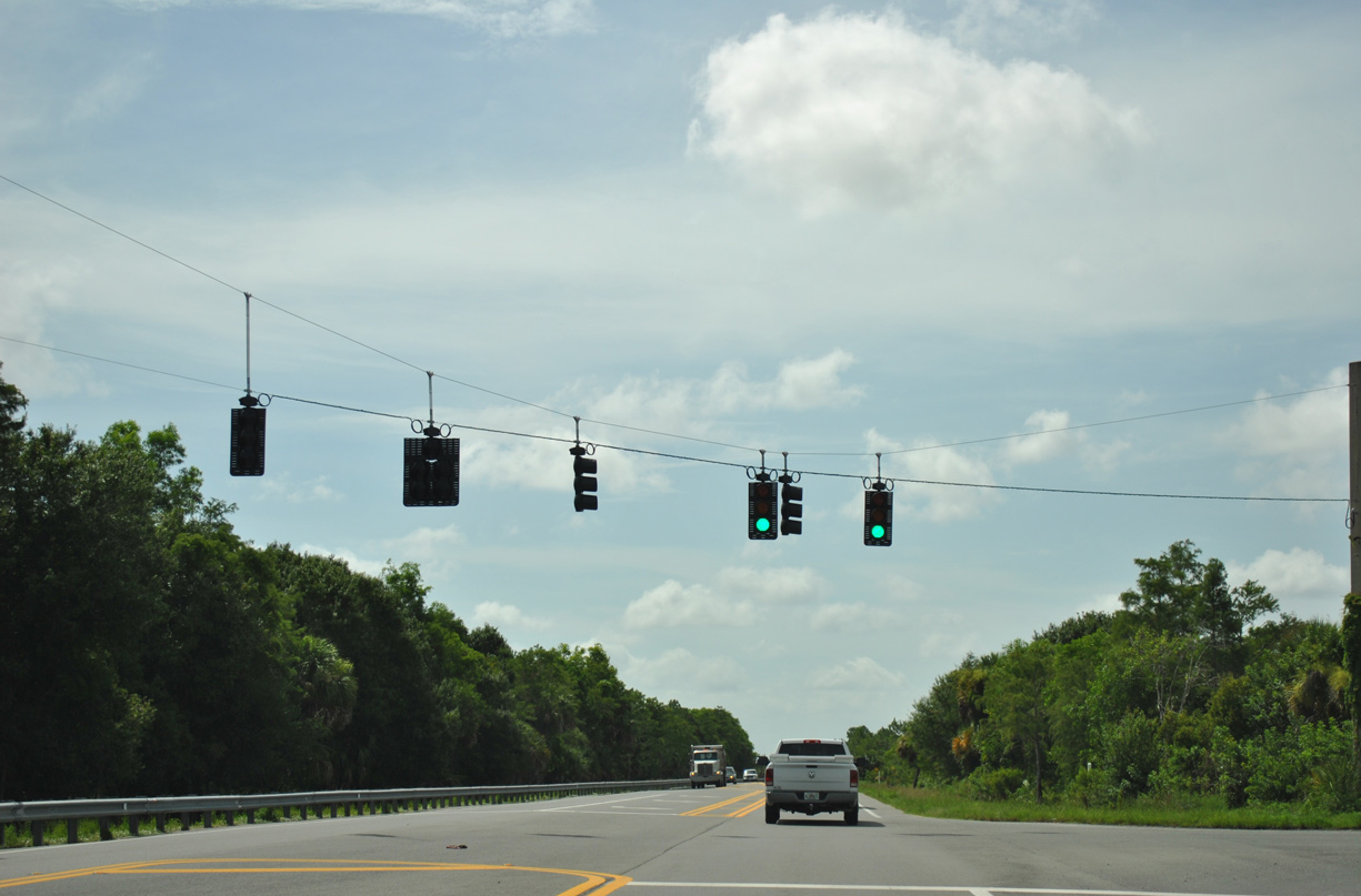
State Road 951 constitutes a four to six lane arterial heading south 7.07 miles from U.S. 41 (Tamiami Trail) to CR 952 west for Isles of Capri and the S.S. Jolley Bridge into the city of Marco Island.
04/26/16
04/26/16
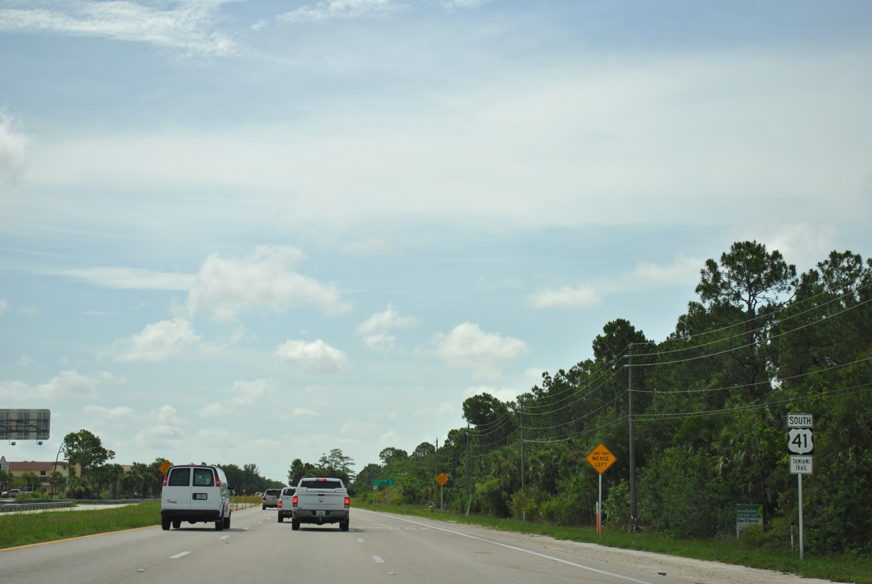
U.S. 41 previously reduced to two lanes to the immediate east of SR 951. Construction in 2015-16 both widened Tamiami Trail to six lanes and built Tamiami Crossing shopping center along the south side.
07/05/11
07/05/11
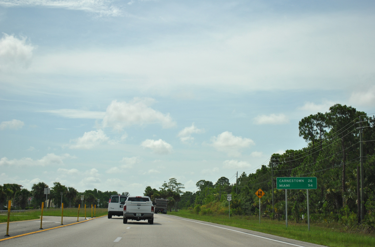
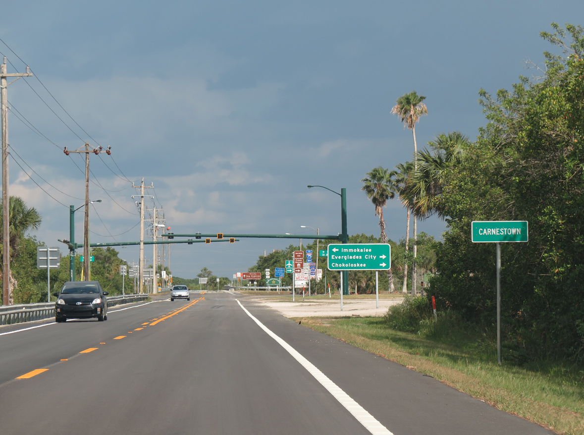
Carnestown, where U.S. 41 (Tamiami Trail) meets SR 29 and CR 29 north of Everglades City, lies 26 miles to the east of SR 951.
07/05/11
07/05/11
Mantee Road leads east from SR 951 (Collier Boulevard) to end at U.S. 41 adjacent to Manatee Middle School and Elementary.
07/05/11
07/05/11
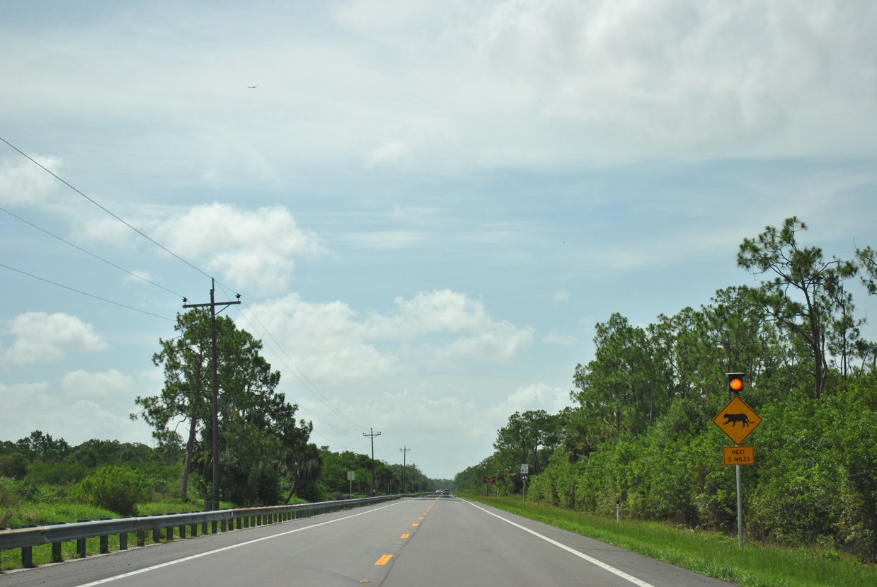
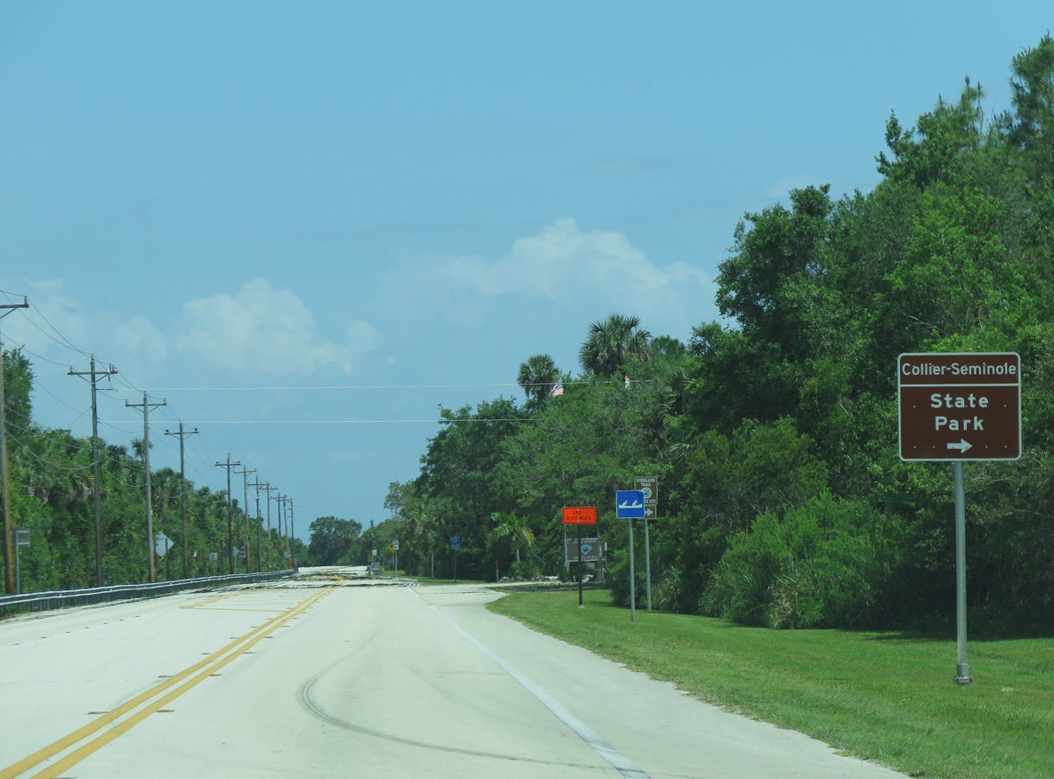
U.S. 41 reduces to two lanes south of Greenway Road and proceeds three miles beyond the last of the Naples area suburban development into Collier-Seminole State Park.
07/05/11
07/05/11
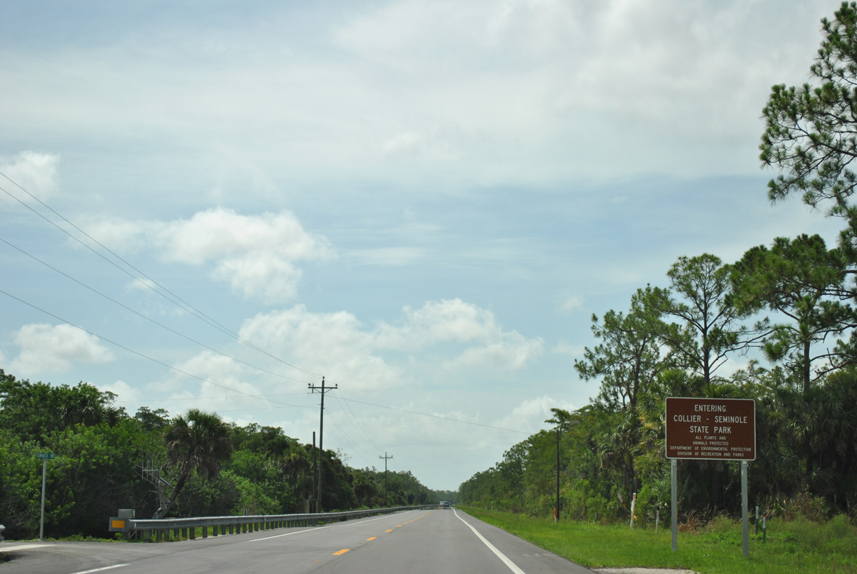
Tomato Road ties into U.S. 41 at the entrance to Collier-Seminole State Park.
07/05/11
07/05/11
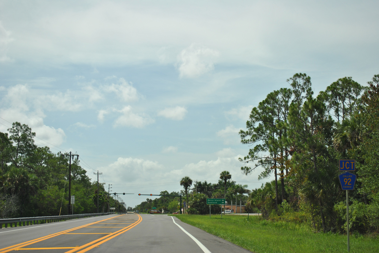
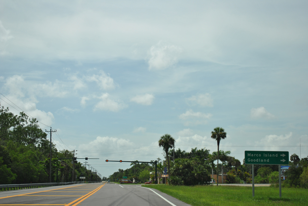
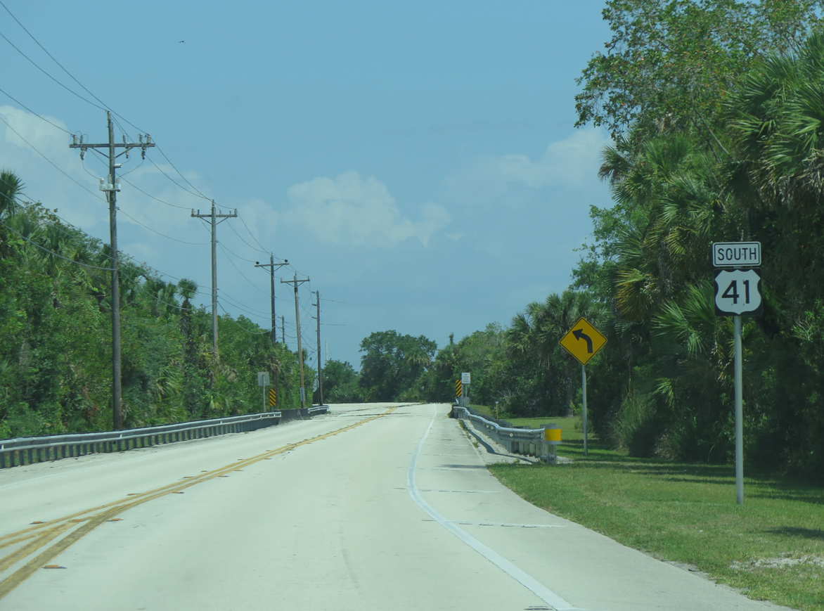
Collier County Road 92 (San Marco Road) converges with U.S. 41 at Royal Palm Hammock.
07/05/11
07/05/11
CR 92 plies across wetland areas southwest to span the Big Marco River ahead of CR 892 south to Goodland.
07/05/11
07/05/11
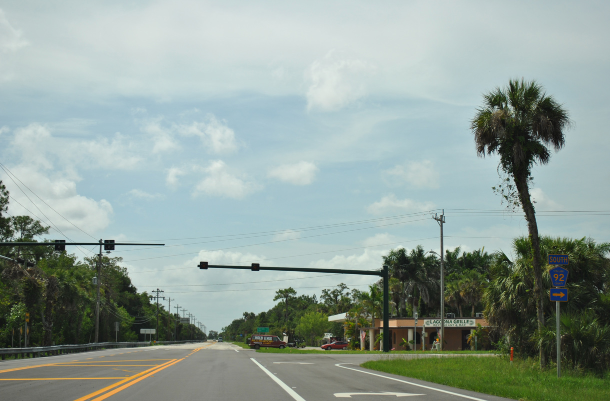
An 11.45 mile long route, CR 92 winds southwest to Collier Boulevard (CR 951) in the city of Marco Island.
07/05/11
07/05/11
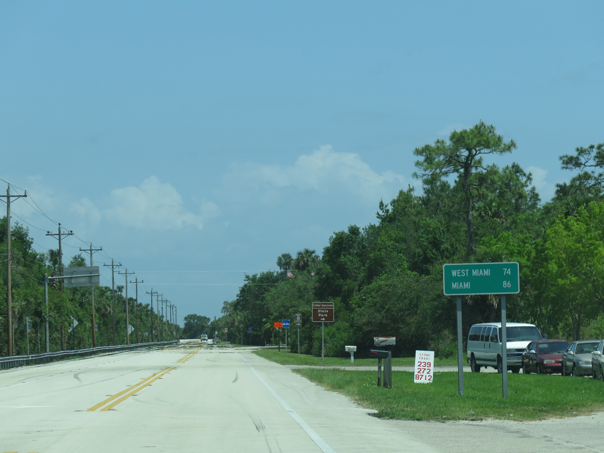
Continuing east from CR 92 at Royal Palm Hammock, U.S. 41 travels 74 miles to the city of West Miami.
05/02/16
05/02/16
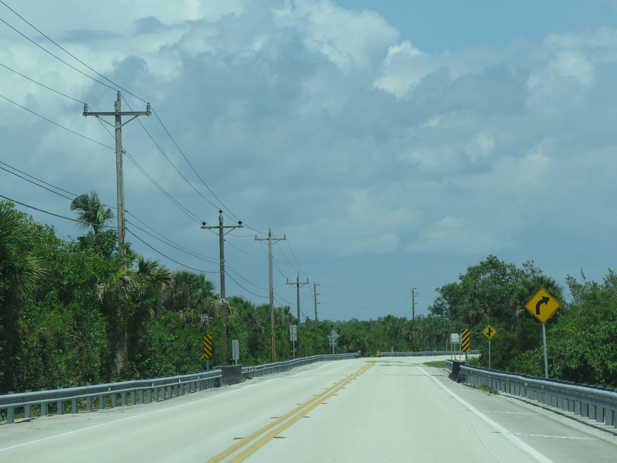
The main access road for Collier-Seminole State Park spurs west from U.S. 41 just south of CR 92 (San Marco Road).
05/02/16
05/02/16
05/02/16
05/02/16
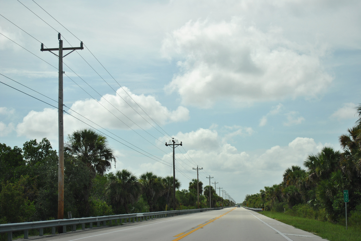
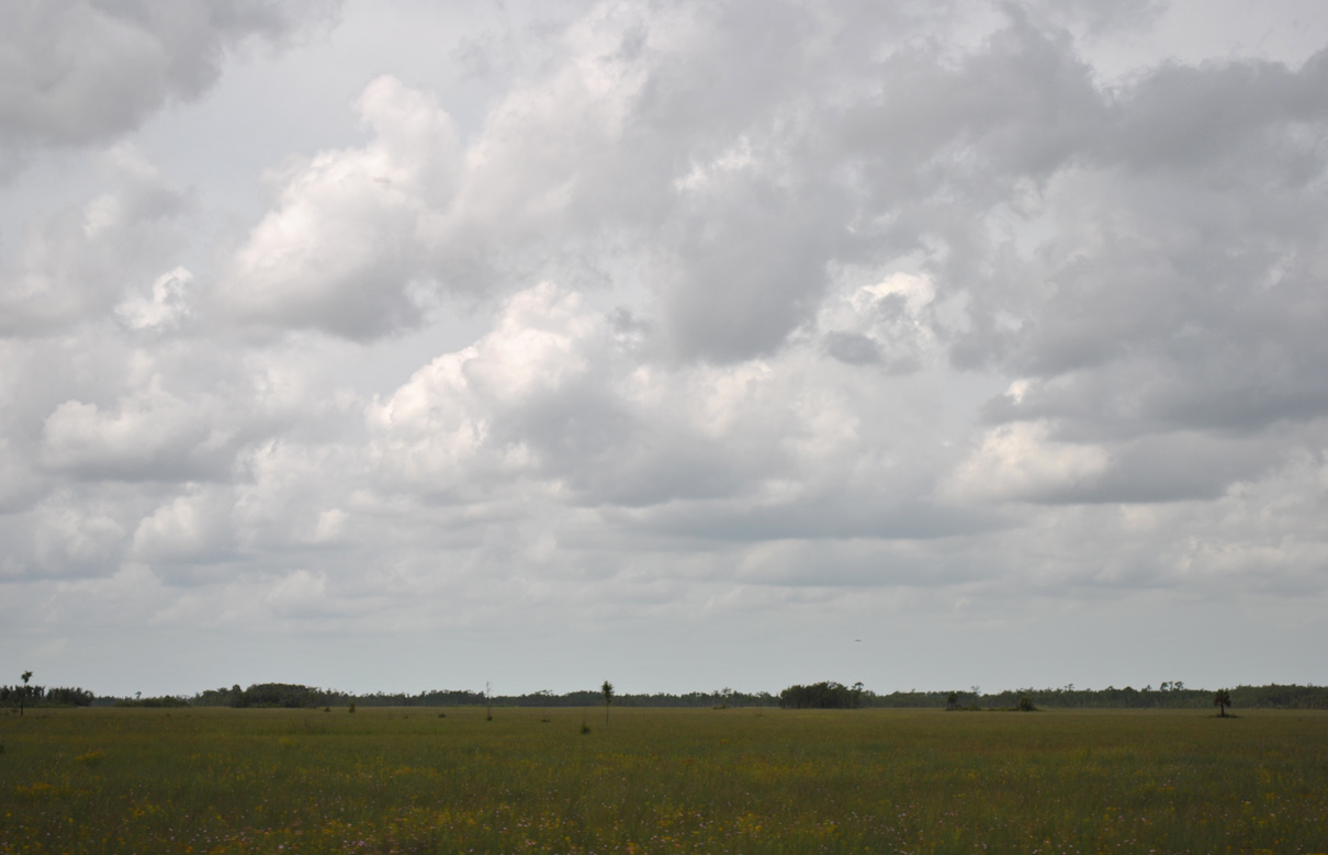
Mileposts are use along U.S. 41 across the Florida Everglades. Milepost 30 stands along the stretch between Picayune Strand State Forest and Ten Thousand Islands NWR.
07/05/11
07/05/11
Construction completed in Spring 2016 widened a short stretch of U.S. 41 (Tamiami Trail) to four lanes at the Port of the Islands development.
05/02/16
05/02/16
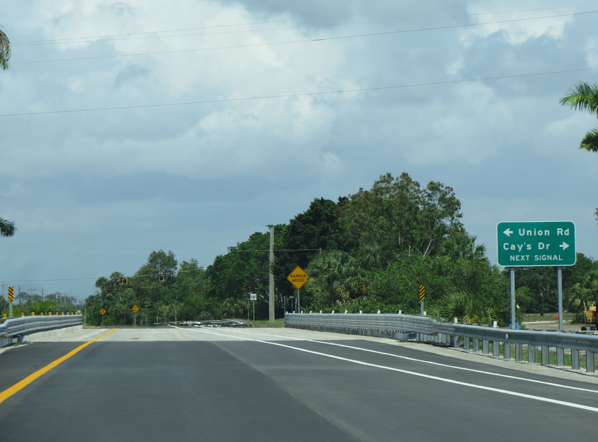
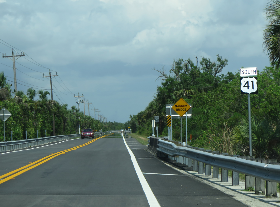
A set of flashers operate at Union Road north and Cay's Drive south beyond the bridge taking U.S. 41 across the Faka Union River.
05/02/16
05/02/16
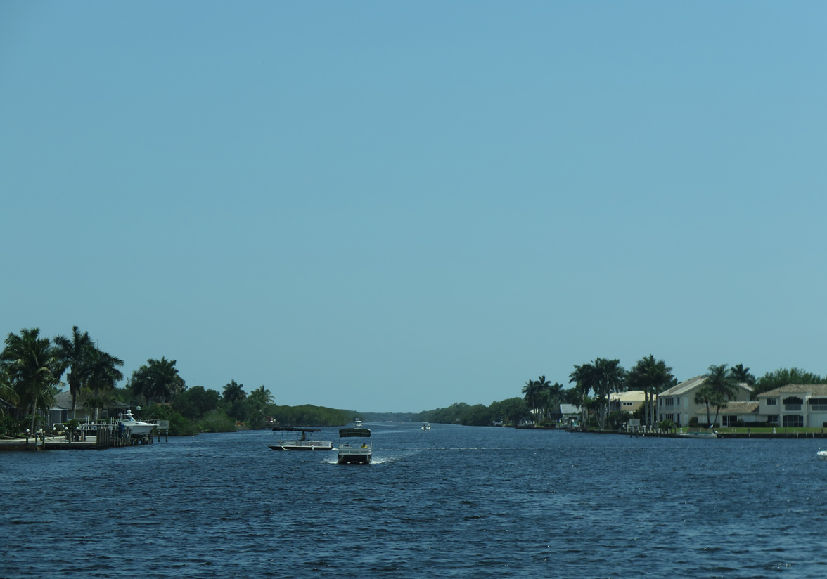
The Faka Union River flows south into Faka Union Bay within the Ten Thousand Islands chain.
04/25/16
04/25/16
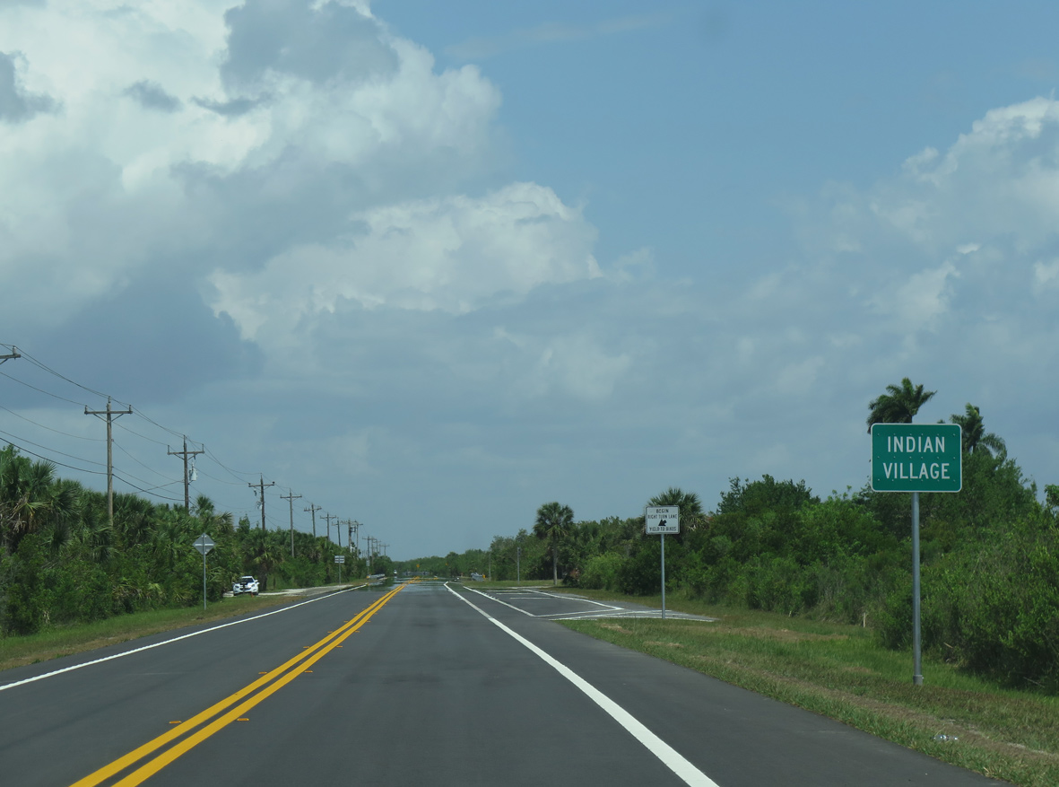
Union Road and Cay's Drive serve residential development along the east side of the Faka Union River.
05/02/16
05/02/16
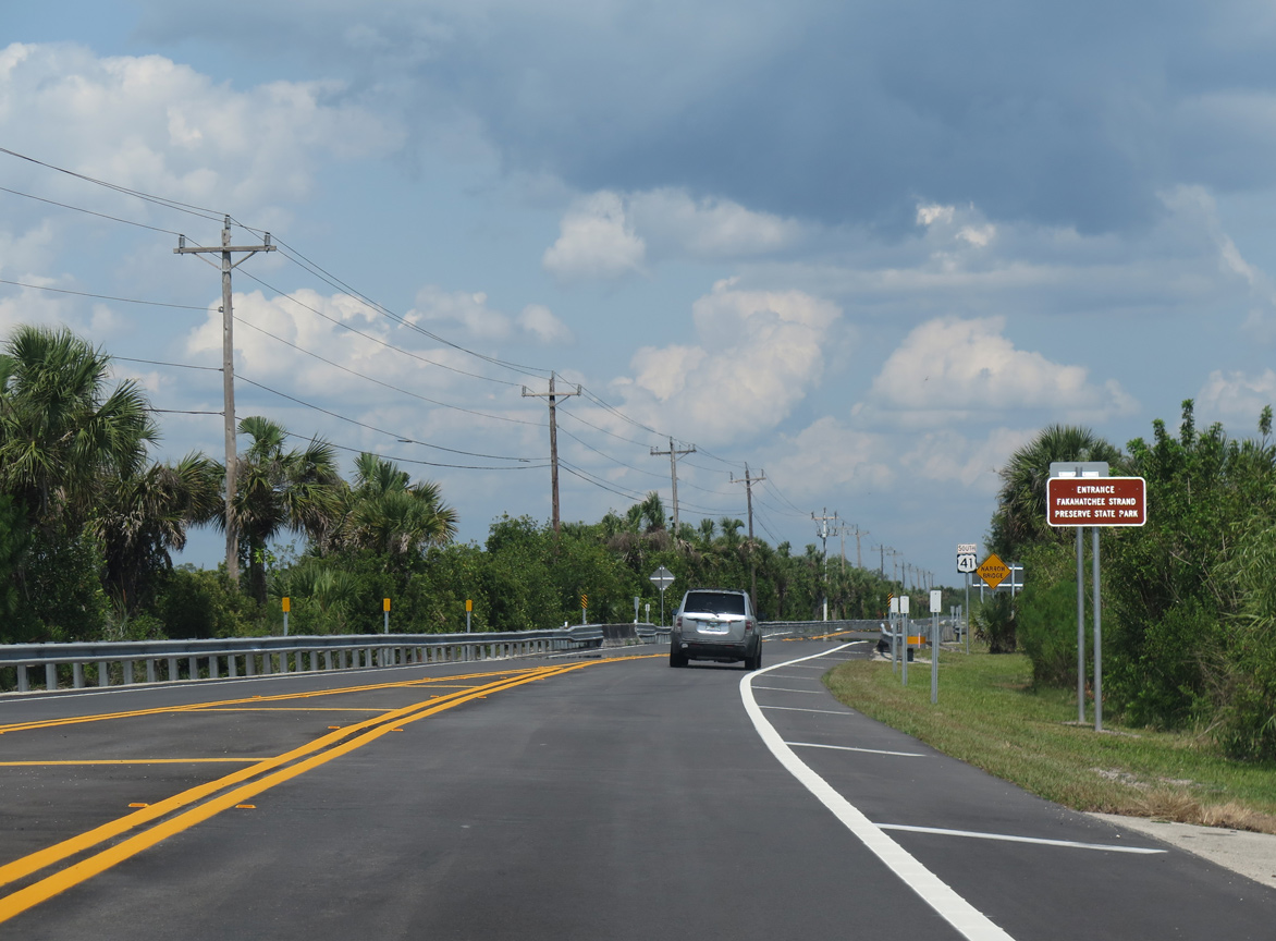
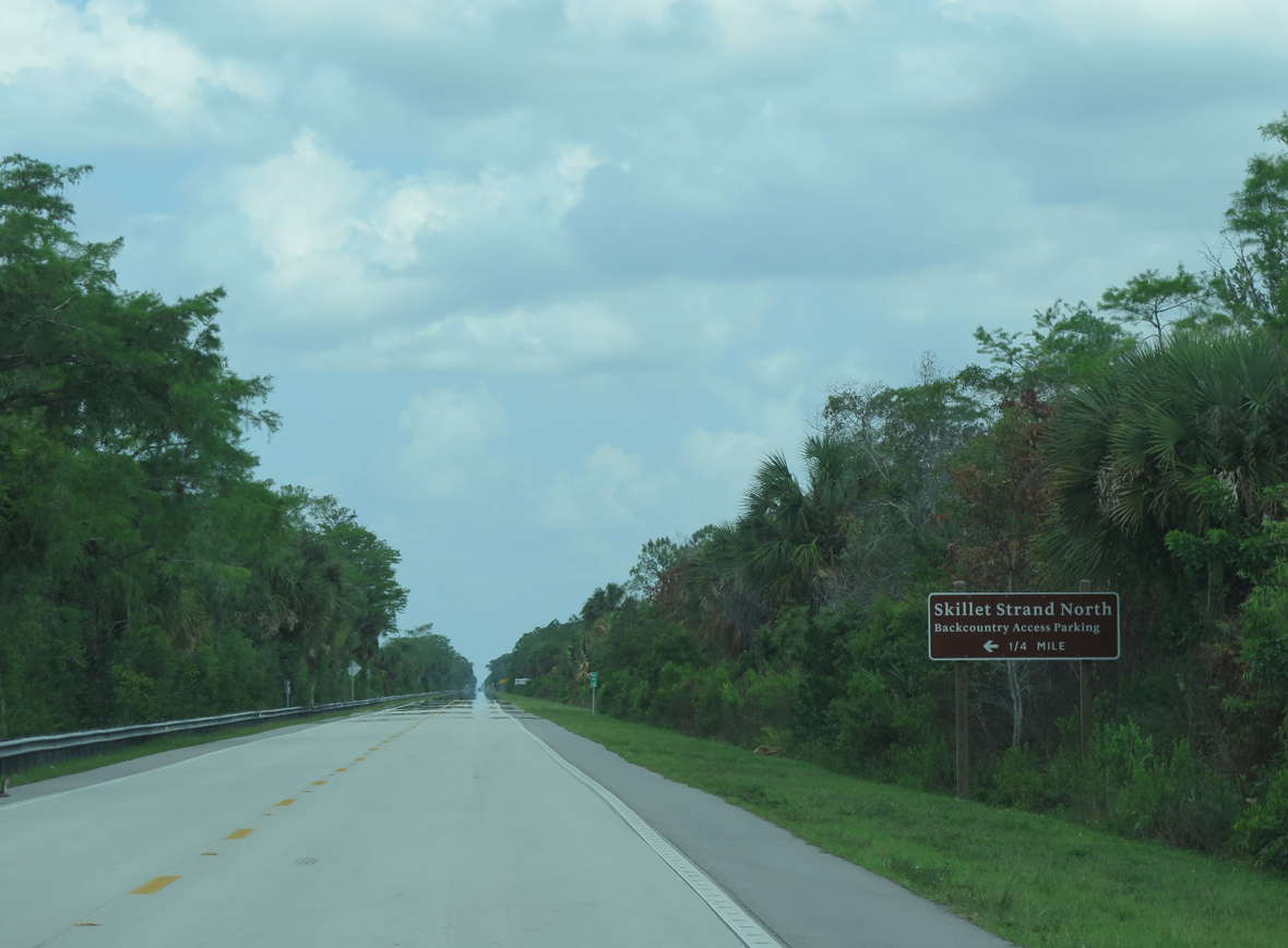
The ensuing stretch of U.S. 41 east from Union Road falls within Fakahachee Strand Preserve State Park.
04/25/16
04/25/16
05/02/16
U.S. 41 south at Weaver Station and the Big Cypress Bend Boardwalk.
05/02/16
05/02/16
05/02/16
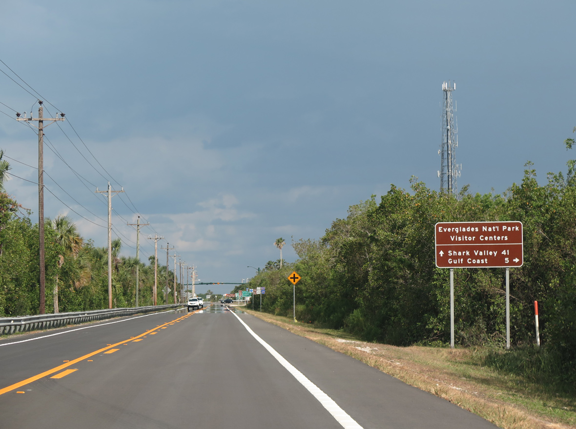
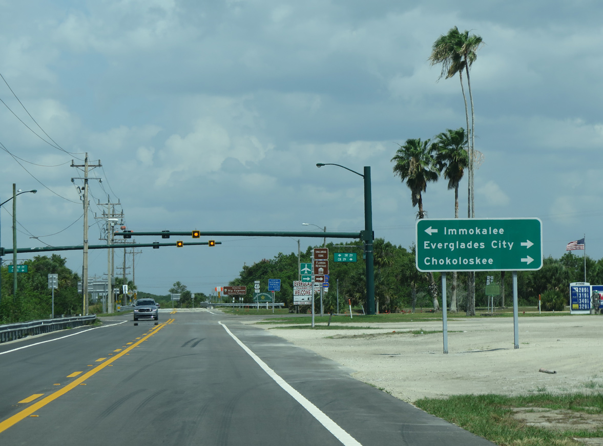
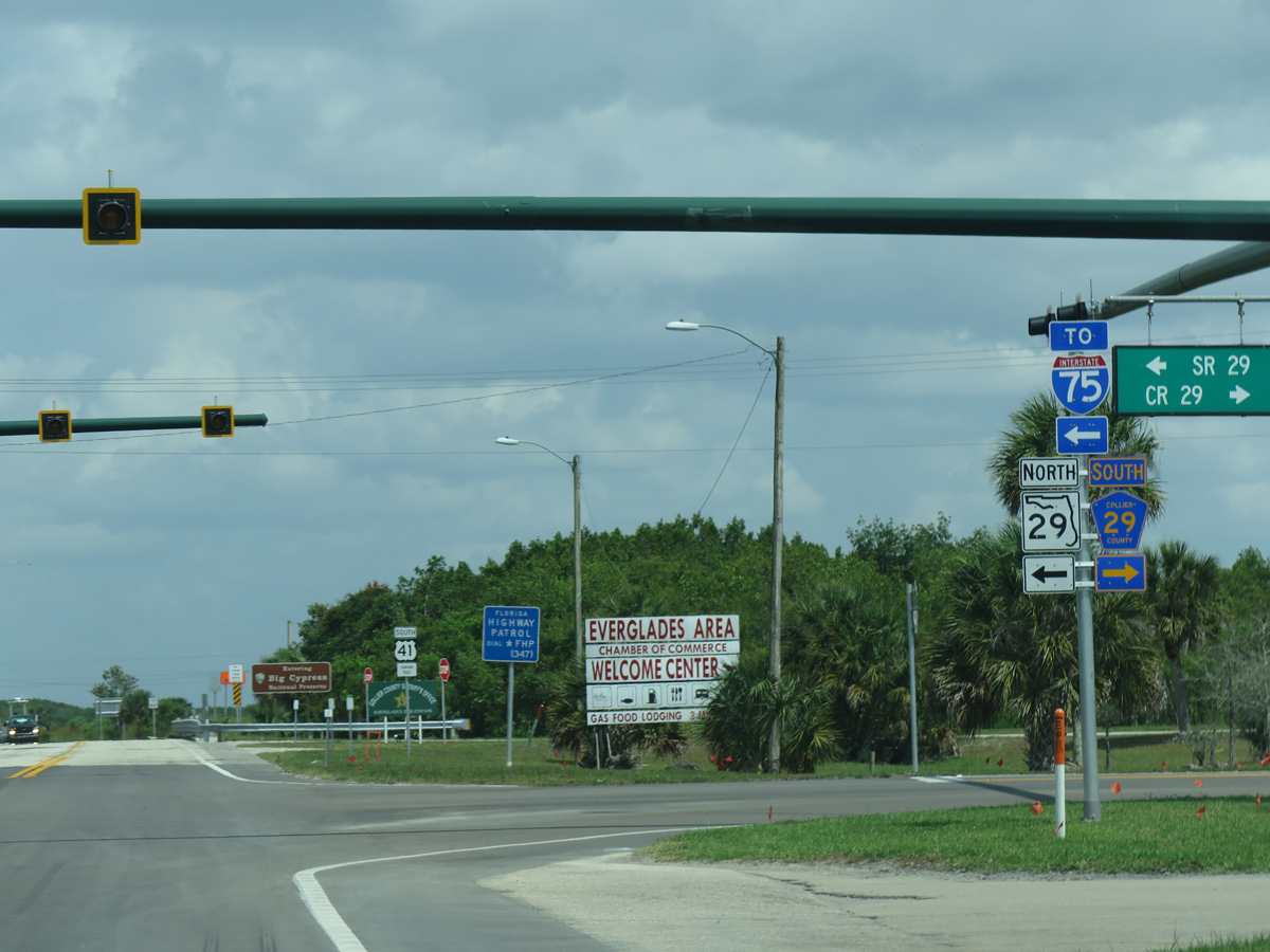
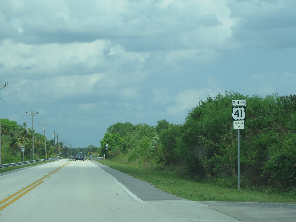
Approaching SR 29/CR 29 at Carnestown, a distance sign references Everglades National Park visitors centers at Everglades City via CR 29 south and Shark Valley via U.S. 41.
04/25/16
04/25/16
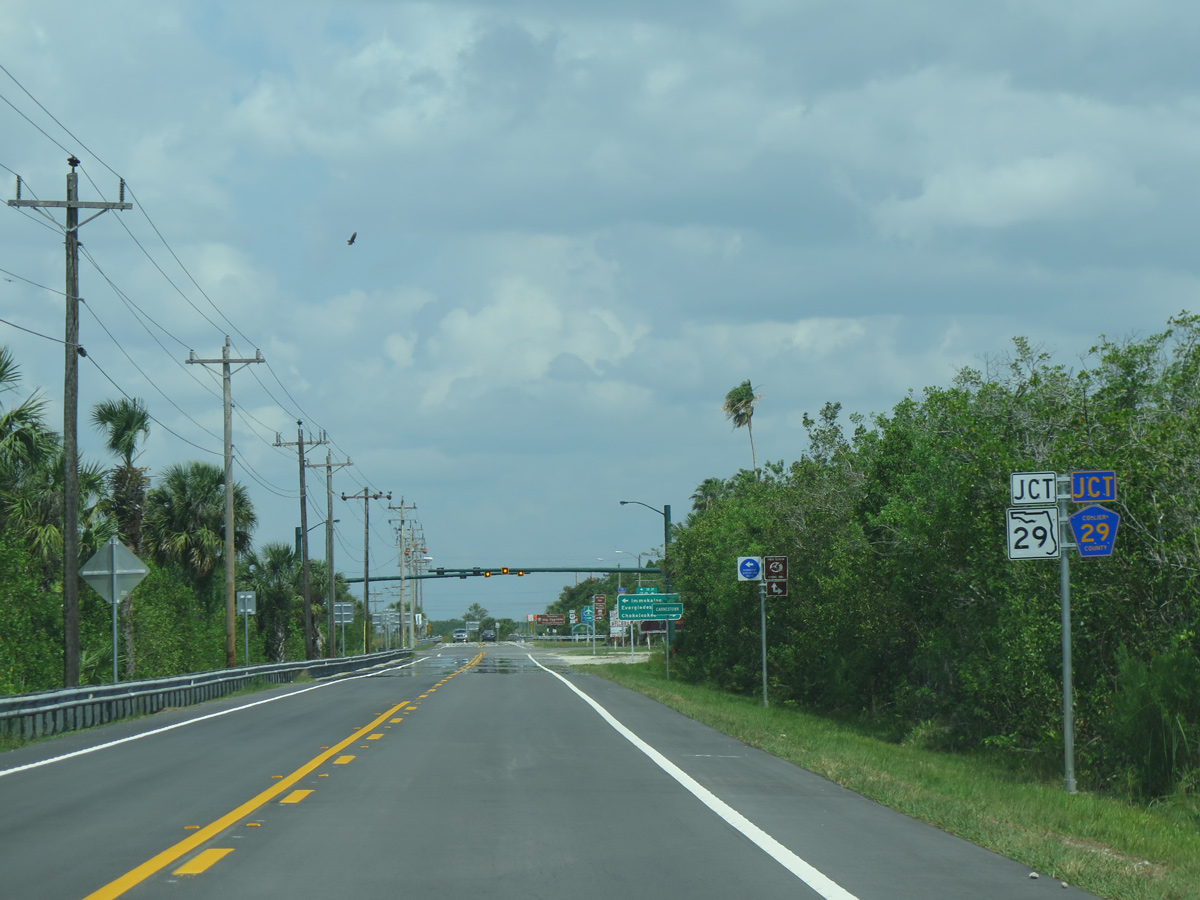
State Road 29 travels north from U.S. 41 to Interstate 75 (Alligator Alley) and U.S. 27 near Palmdale. Collier County Road 29 extends 7.75 miles south to Chokoloskee.
05/02/16
05/02/16
04/25/16
SR 29 travels north to Immokalee through Collier County and to the Hendry County seat of LaBelle from there.
04/25/16
04/25/16
05/02/16
East from Carnestown, U.S. 41 (Tamiami Trail) traverses remote areas of the Florida Everglades. Opened to traffic in 1928, construction of the roadway was especially treacherous.
05/02/16
05/02/16
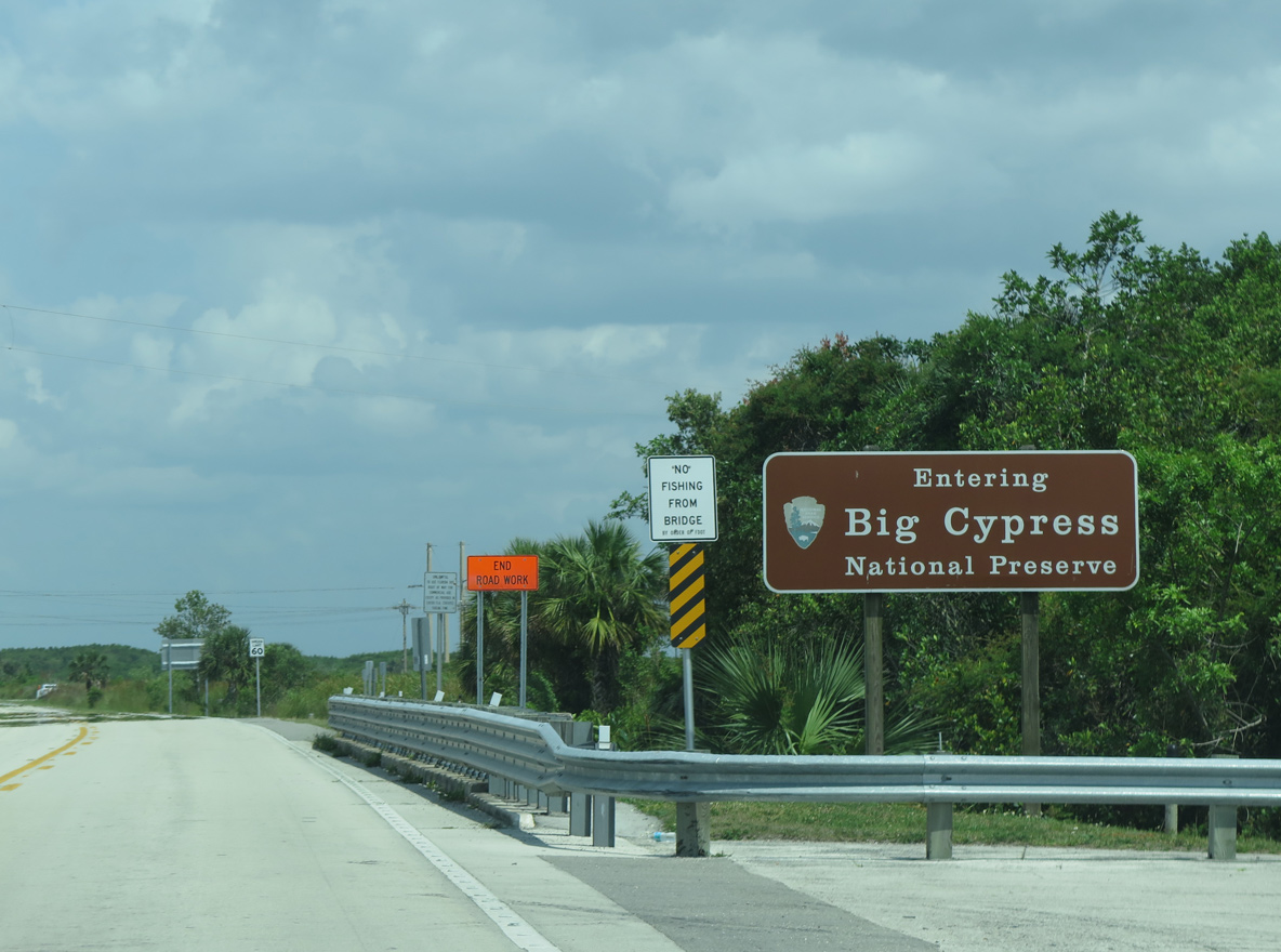
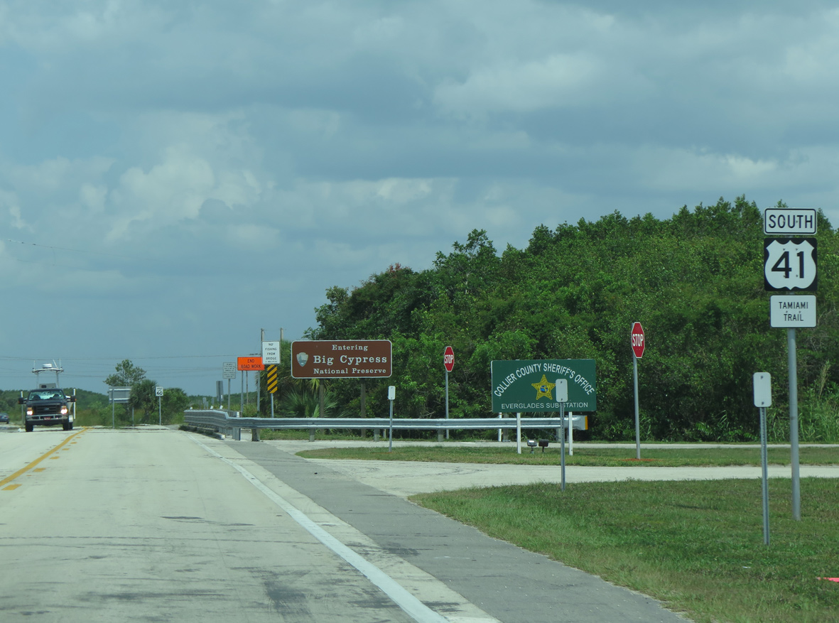
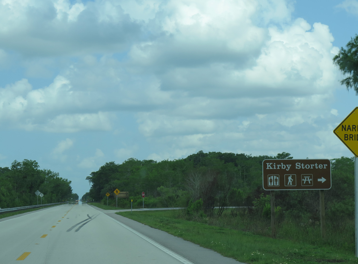
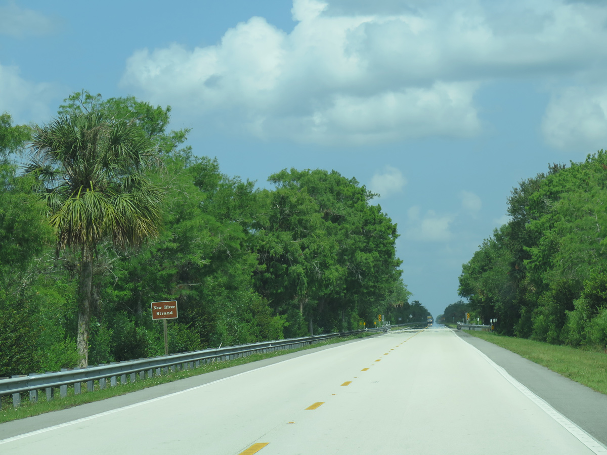
The remainder of U.S. 41 (Tamiami Trail) within Collier County beyond Carnestown falls within Big Cypress National Preserve.
05/02/16
05/02/16

05/02/16
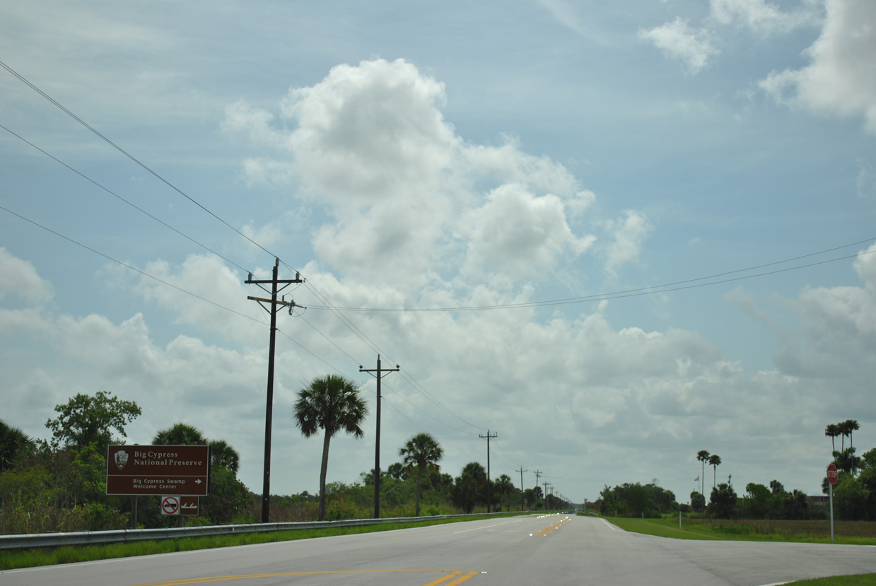
The Big Cypress Swamp Welcome Center for Big Cypress National Preserve lies just off U.S. 41 along Seagrape Drive.
07/05/11
07/05/11
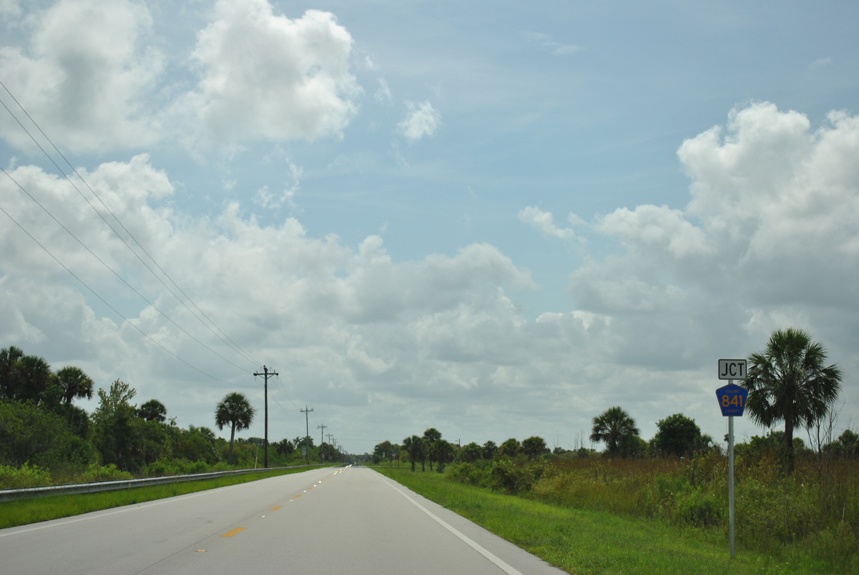
Collier County Road 841 stems 4.39 miles north from U.S. 41 across Copeland Prairie to CR 837.
07/05/11
07/05/11
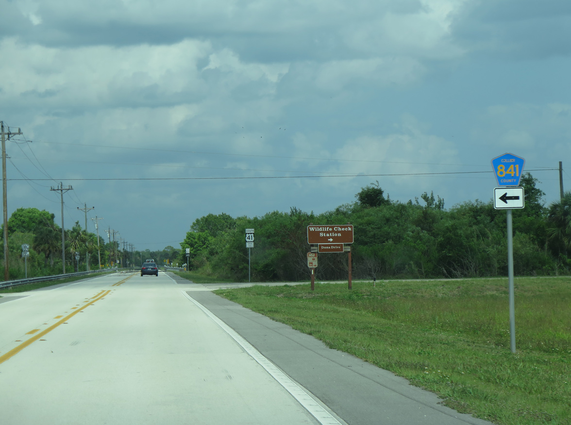
CR 841 connects with CR 837 (Wagon Wheel Road) west to SR 29 and east to CR 839. Dona Drive ties into U.S. 41 from the south at CR 841.
05/02/16
05/02/16
U.S. 41 (Tamiami Trail) proceeds east from CR 841 through the settlement of Ochopee.
05/02/16
05/02/16
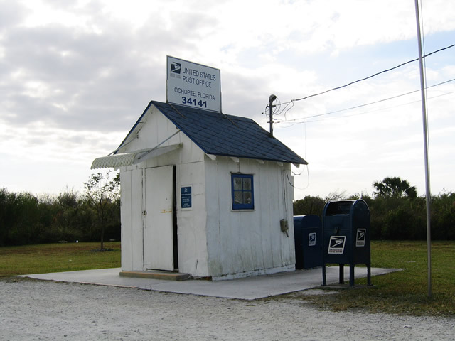
The smallest post office in the country is located along the south side of U.S. 41 in Ochopee.
12/28/03
12/28/03
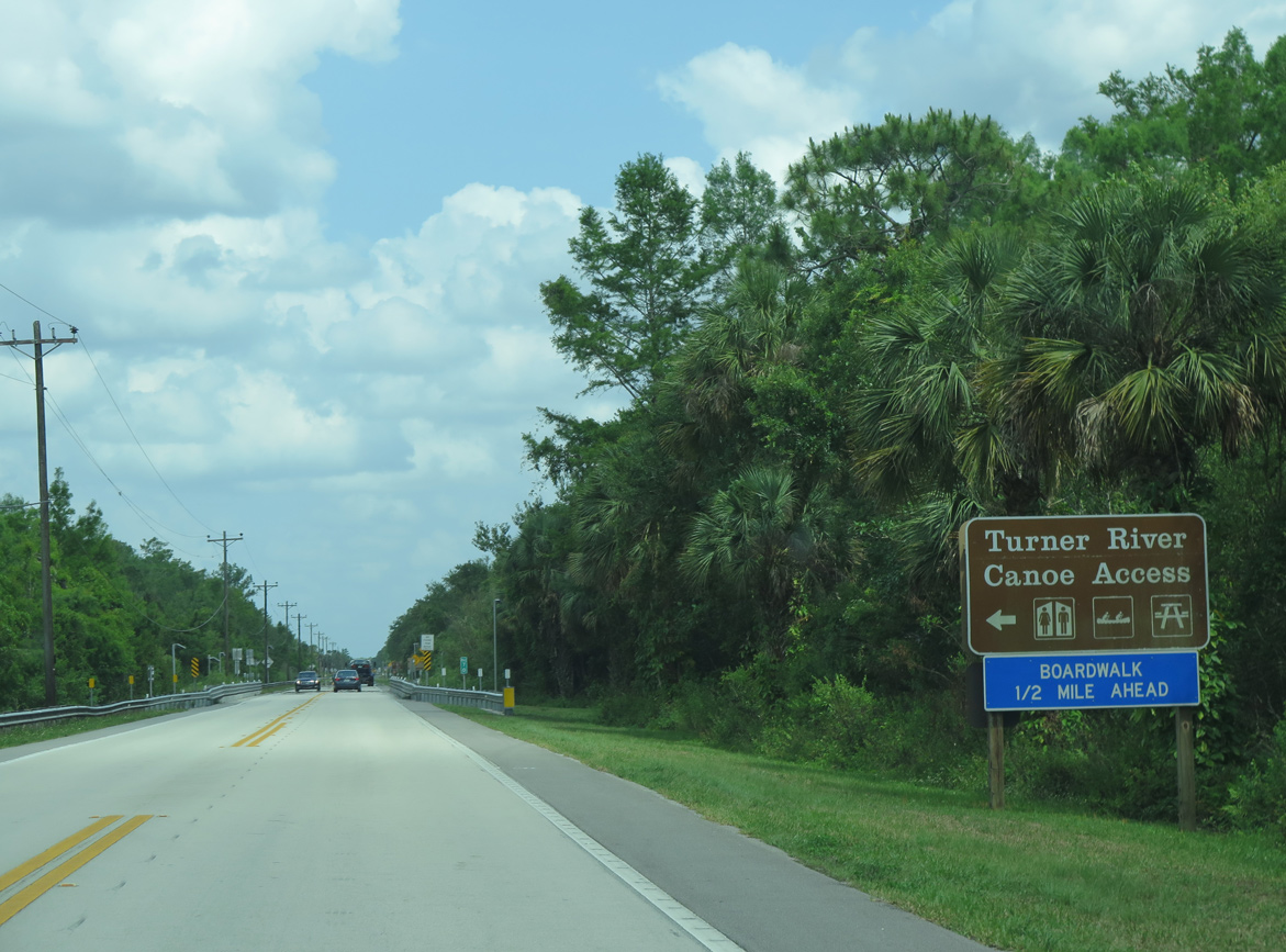
U.S. 41 south at the Turner River Canoe Access site in Big Cypress National Preserve.
05/02/16
05/02/16
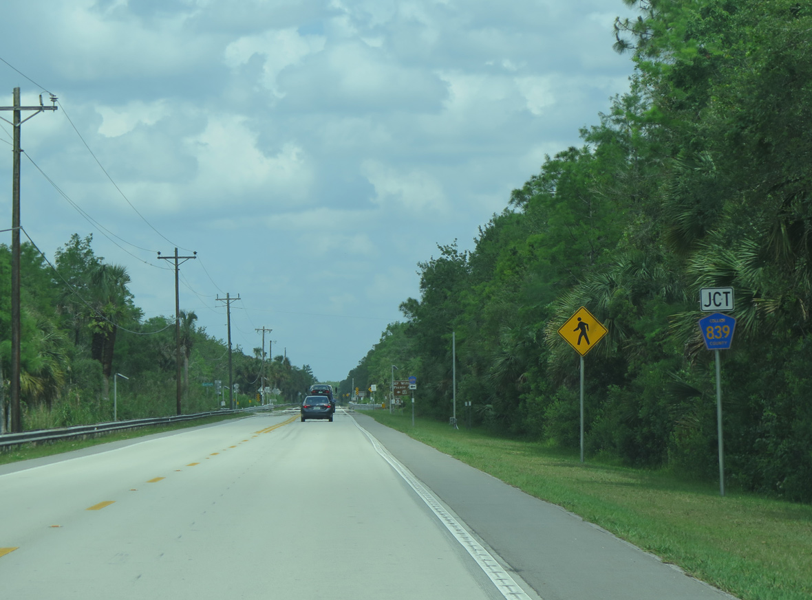
U.S. 41 next meets the south end of Collier County Road 839 by the H.P. Williams Picnic Area.
05/02/16
05/02/16
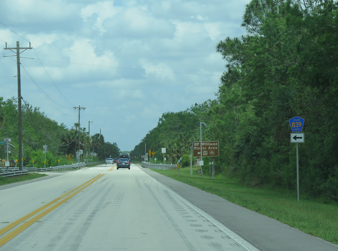
CR 839 (Turner River Road) spurs 20.48 miles north through remote areas of Big Cypress National Preserve.
05/02/16
05/02/16
05/02/16
07/04/11
05/02/16
05/02/16
05/02/16
05/02/16
05/02/16

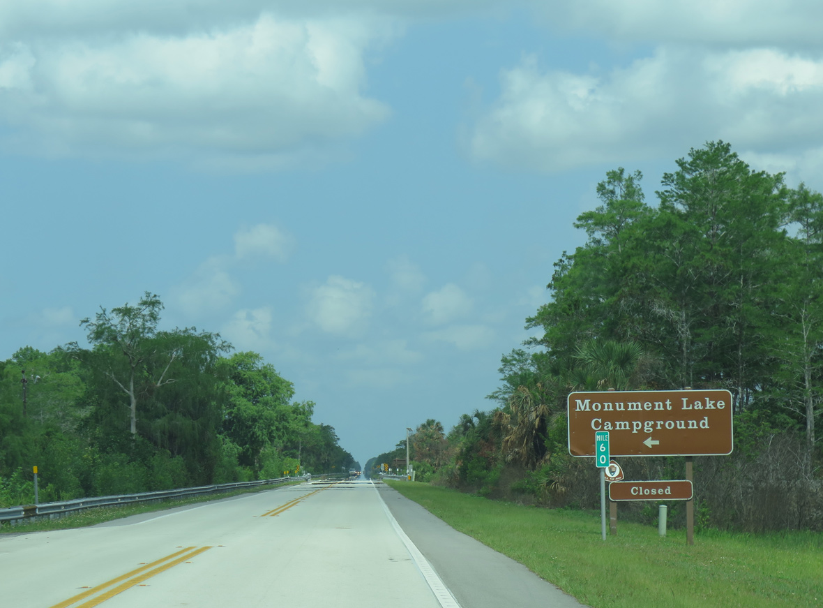
U.S. 41 (Tamiami Trail) advances to unsigned Collier County Road 94, which constitutes an unpaved, scenic route loop southeast through Big Cypress National Preserve.
05/02/16
05/02/16
05/02/16

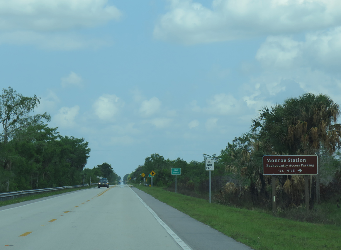
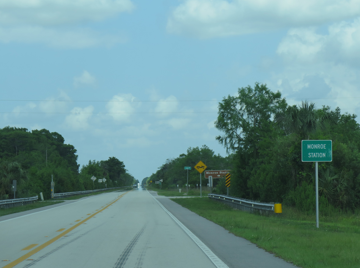
South from Monroe Station, Loop Road passes through Monroe County before rejoining U.S. 41 in Miami-Dade County near Miccosukee Indian Village.
05/02/16
05/02/16


Photo Credits:
- AARoads: 01/02/07, 07/04/11, 07/05/11
- Andy Field: 12/28/03, 04/25/16, 04/26/16, 05/02/16
Connect with:
Page Updated Monday April 08, 2024.