
U.S. 41 South - Pasco County

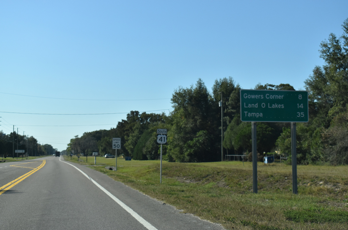
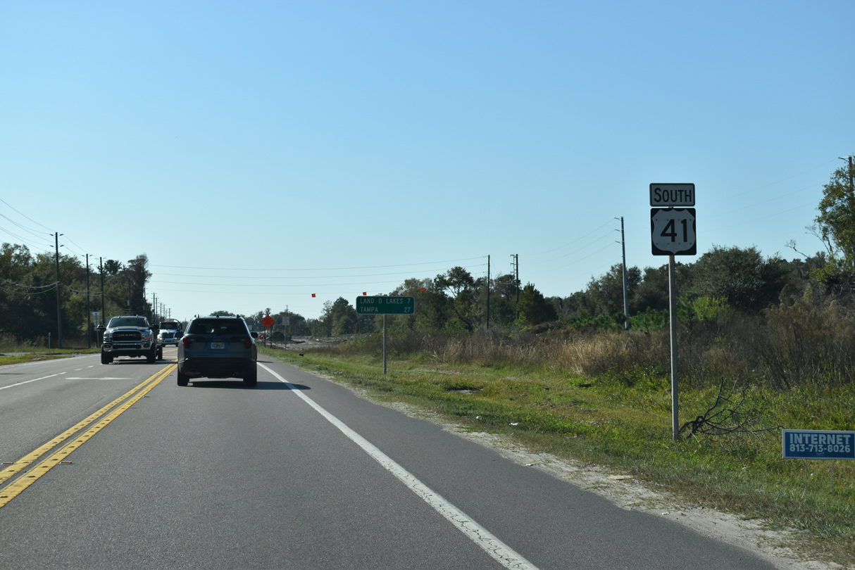
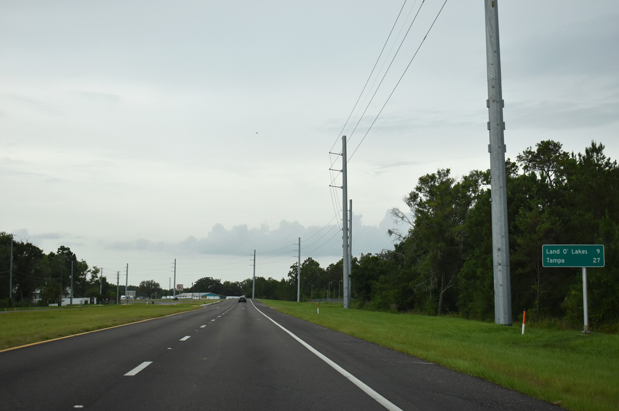
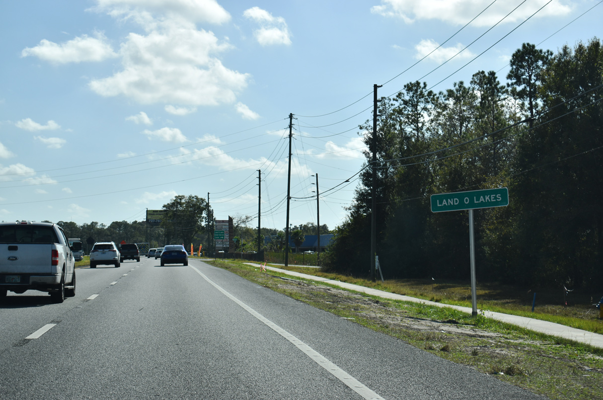
The entire 19.81 mile alignment of U.S. 41 through Pasco County stays in unincorporated areas. Gowers Corner, where U.S. 41 meets SR 52, lies eight miles south of the county border. Installed in 2021, this sign is a carbon copy, with the apostrophe again omitted from Land O' Lakes.
12/13/21
Continuing south from the Talavera subdivision developed in 2014-15, U.S. 41 enters the crossroads with SR 52 at Gowers Corner.
06/28/25
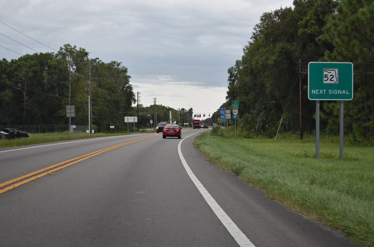
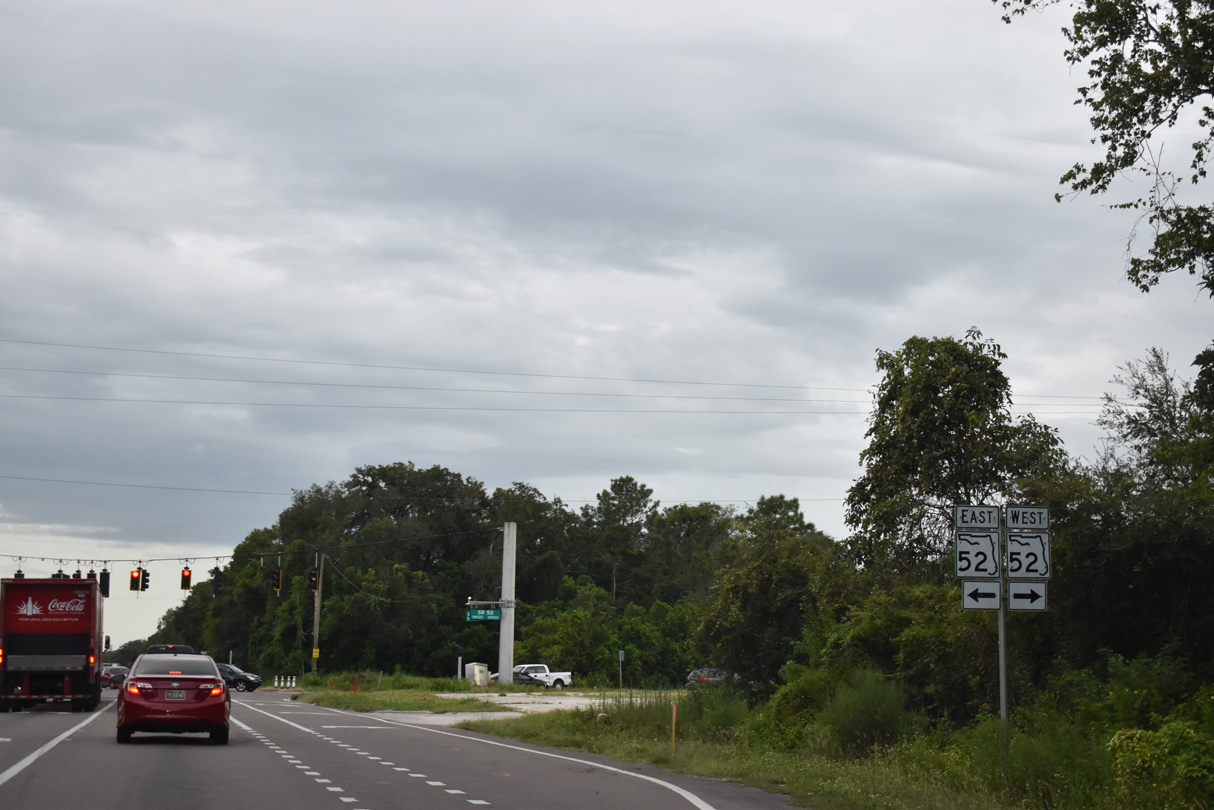
State Road 52 travels across Pasco County along a 33.40 mile course between Bayonet Point and Dade City.
06/28/25
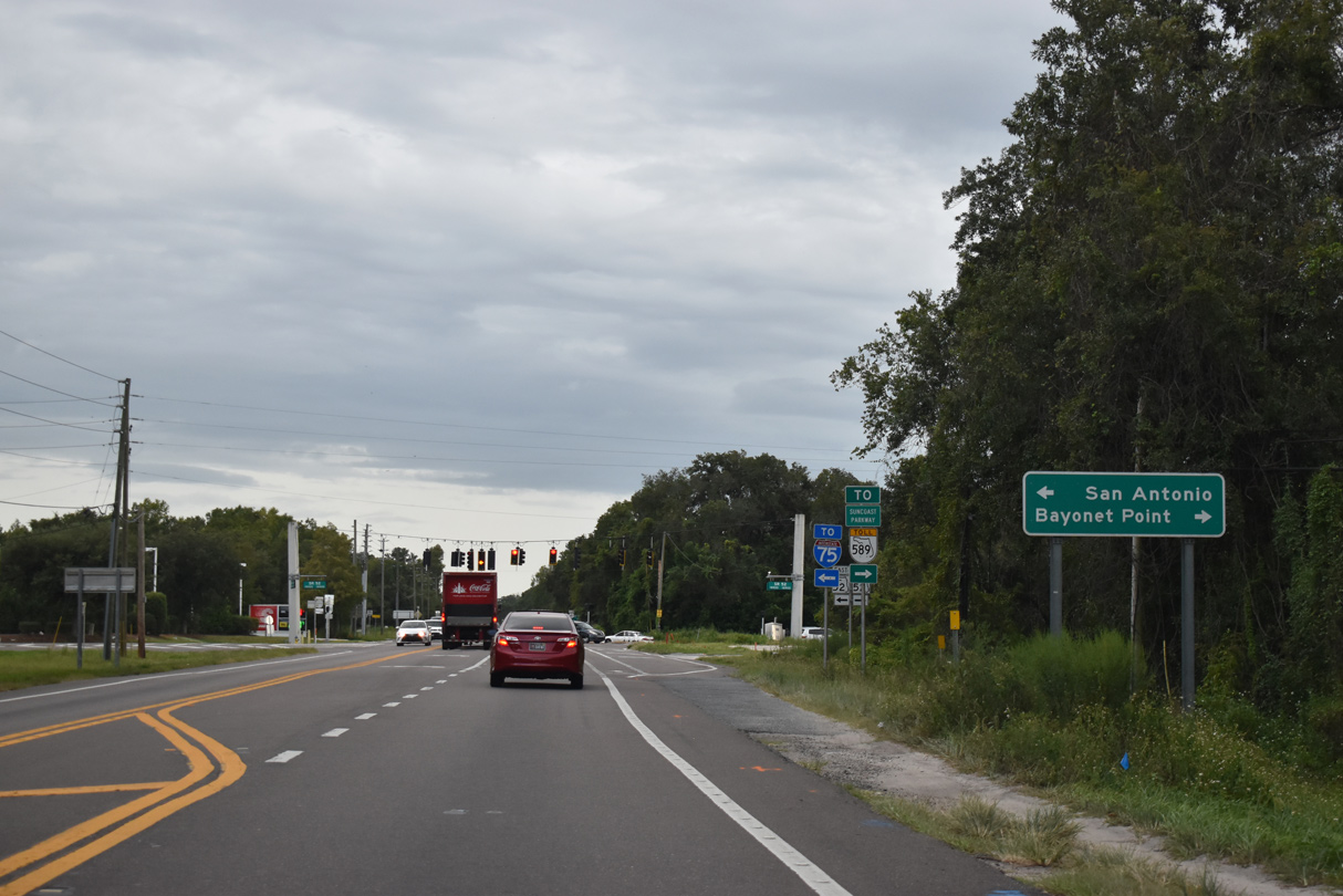
San Antonio lies east of Interstate 75 along SR 52. Bayonet Point is an unincorporated community along U.S. 19.
06/28/25
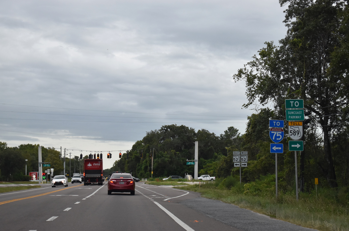
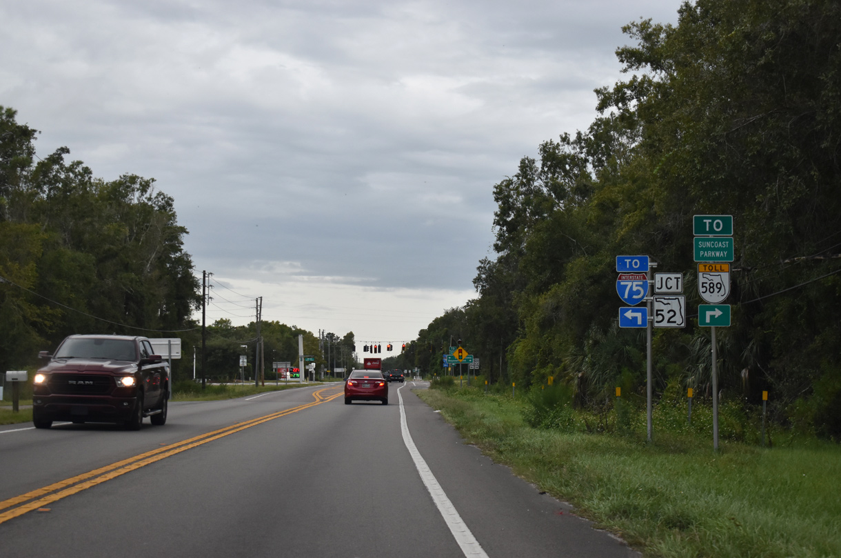
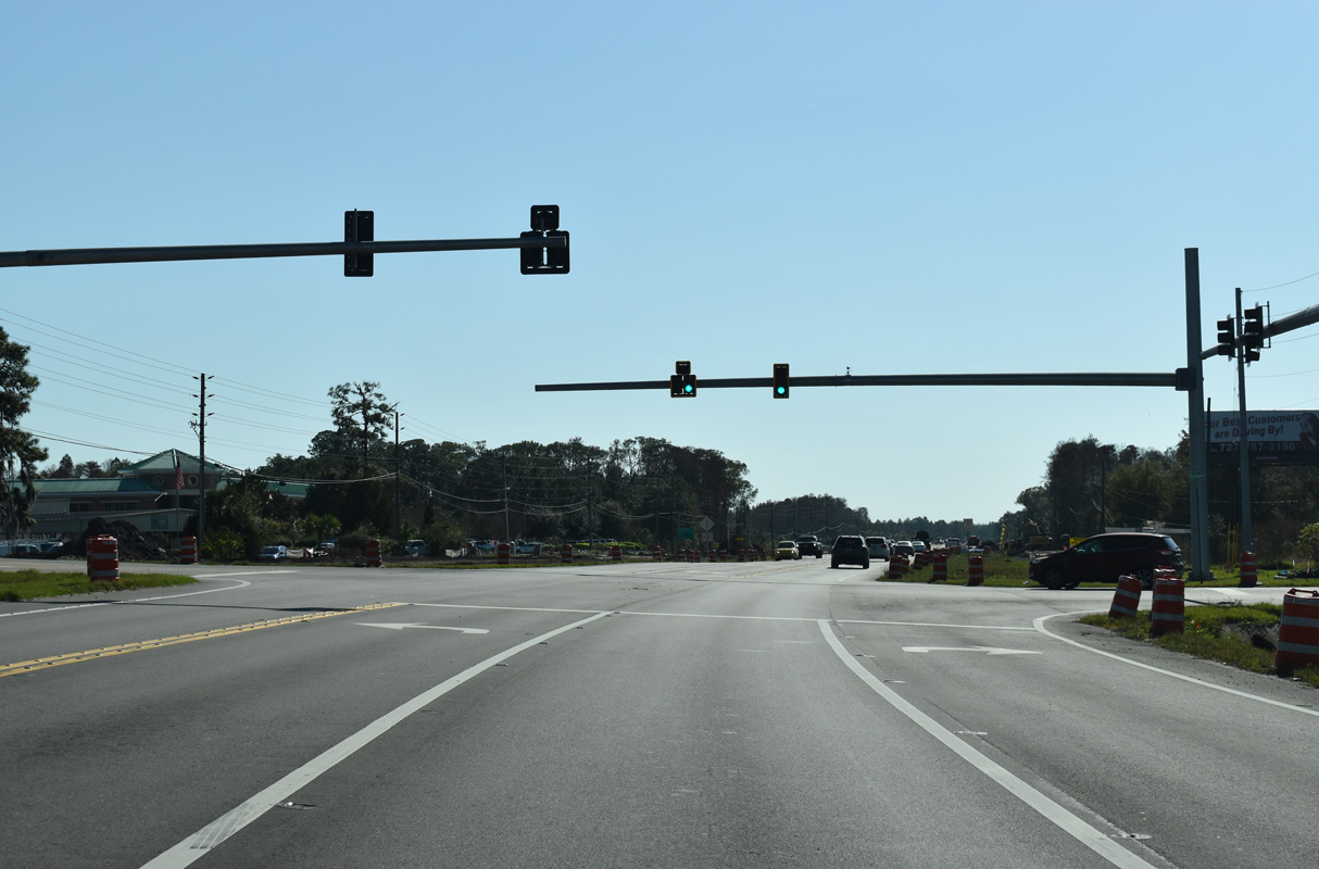
Construction underway from September 2019 to late 2023 widened SR 52 to a six lane, divided highway west from Gowers Corner 3.8 miles to SR 589 (Suncoast Parkway).
06/28/25
Future road work will expand SR 52 east from U.S. 41 to CR 581 (Bellamy Brothers Boulevard) to a four lane highway. This will be the final section of SR 52 widened throughout Pasco County.
06/28/25
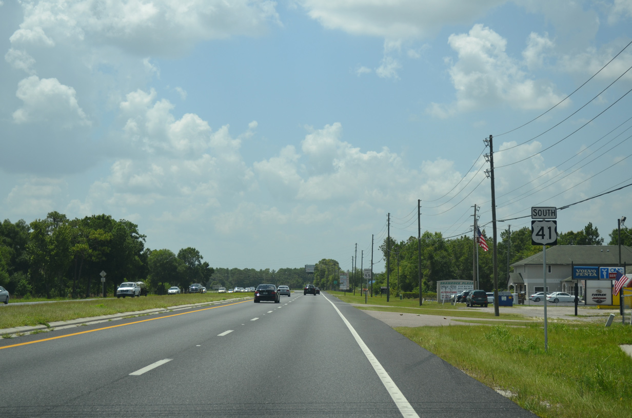
SR 52 travels 12.7 miles west from Gowers Corner to conclude at U.S. 19 in Bayonet Point, located north of Port Richey.
06/28/25
U.S. 41 curves around Green Lake south from Gowers Corner to the Cypress Preserve development. $16.8 million in construction started March 12, 2021 expanded 2.25 miles of U.S. 41 south to Connerton Boulevard. Work building the four lane, divided road was completed by Fall 2023.1
06/28/25
Signage previously indicated that U.S. 41 entered Land O' Lakes just south of SR 52. The unincorporated community center is roughly based upon the intersection where U.S. 41 meets SR 54, seven miles to the south.
06/28/25
Traffic lights were added to U.S. 41 at Asbel Road in 2021.
06/28/25
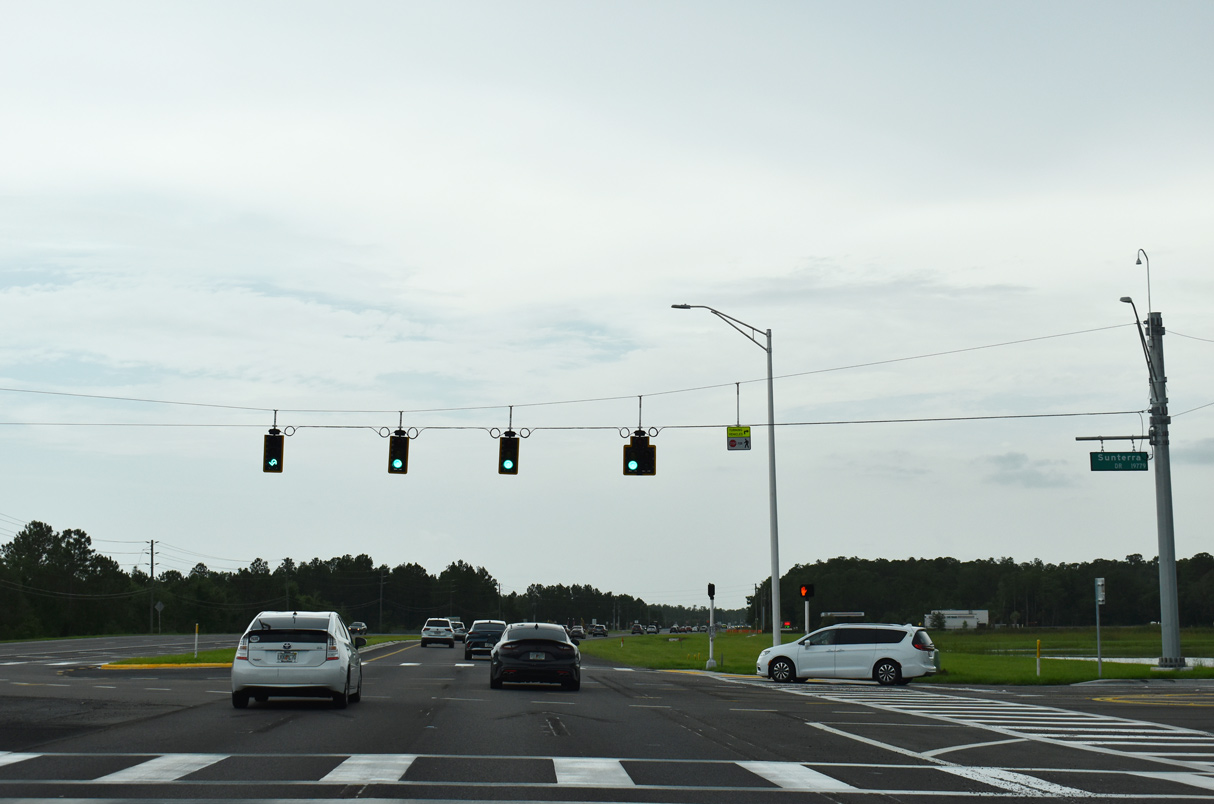
U.S. 41 at Sunterra Drive and the entrance to the Terra del Sol subdivision. Suburban development envelops the remainder of U.S. 41 south through Land O' Lakes.
06/28/25
Connerton Boulevard stems east from U.S. 41 as one of two entrances to the Connerton community. Phase 2 of the planned Ridge Road extension will tie into U.S. 41 just prior to this reassurance marker at Connerton.
06/28/25
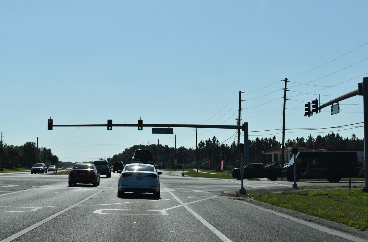
Pleasant Plains Parkway and Roach's Run tie into U.S. 41 at the succeeding southbound signal. Pleasant Plains Parkway comprises the second boulevard leading to Connerton.
06/28/25
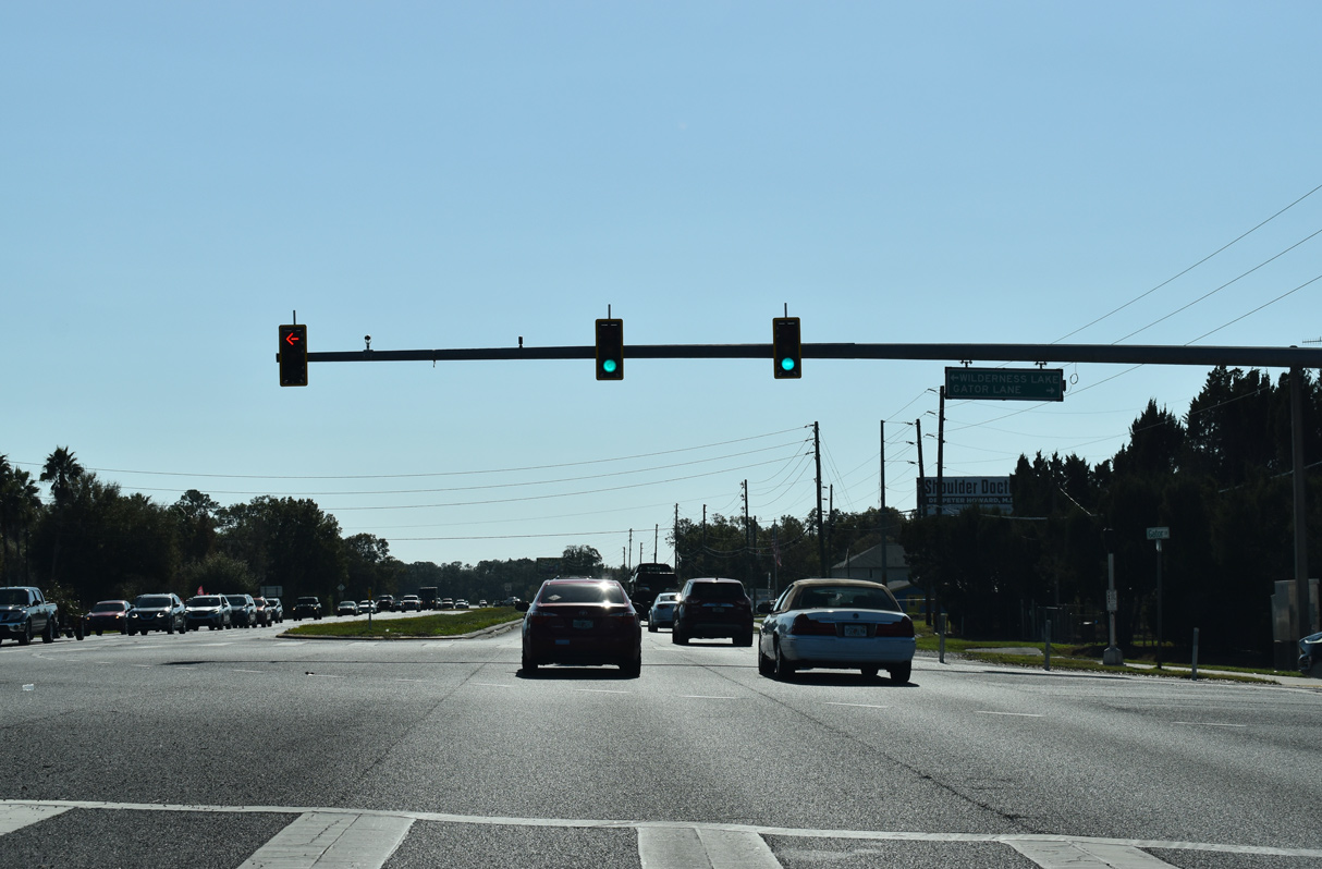
Wilderness Lake Boulevard east represents the lone entrance from U.S. 41 to the Wilderness Lake Preserve community centered around Bay Lake.
06/28/25
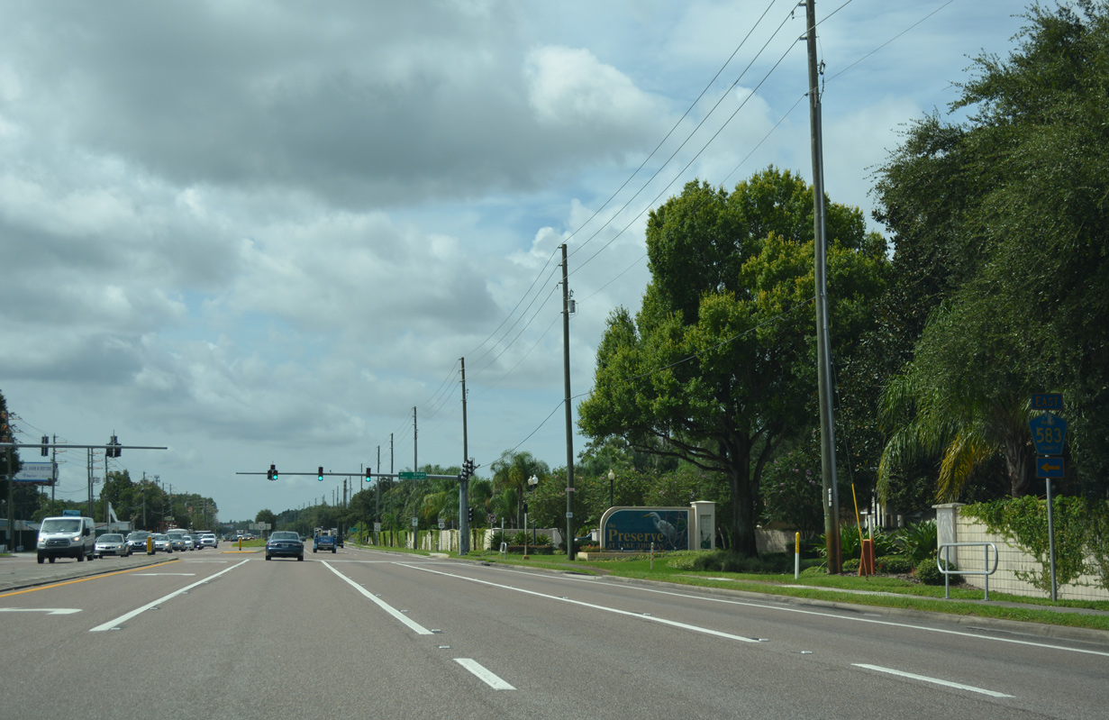
Continuing southeast, U.S. 41 (Land O' Lakes Boulevard) eventually expands to six lanes ahead of Dexter and County Road 583.
06/28/25
Land O' Lakes is a census designated place covering over 21 square miles across southern Pasco County. The community was established on September 1, 1950 when the Ehren post office was renamed.2
06/28/25
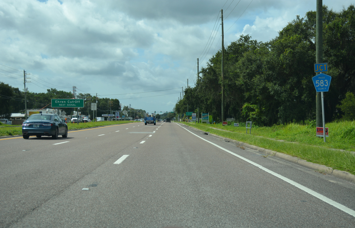
Pasco County Road 583 (Ehren Cutoff) converges with U.S. 41 at Drexel, 6.7 miles southwest from SR 52.
06/28/25
CR 583 winds northeast by eastern reaches of the Wilderness Lake Preserve community en route to Cypress Creek Preserve along an otherwise rural drive. Additional segments of CR 583 are located in Hillsborough County, as well as a state road section through Temple Terrace.
06/28/25
Reassurance marker posted as U.S. 41 turns more southward by King Lake.
06/28/25
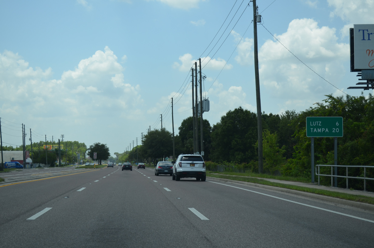
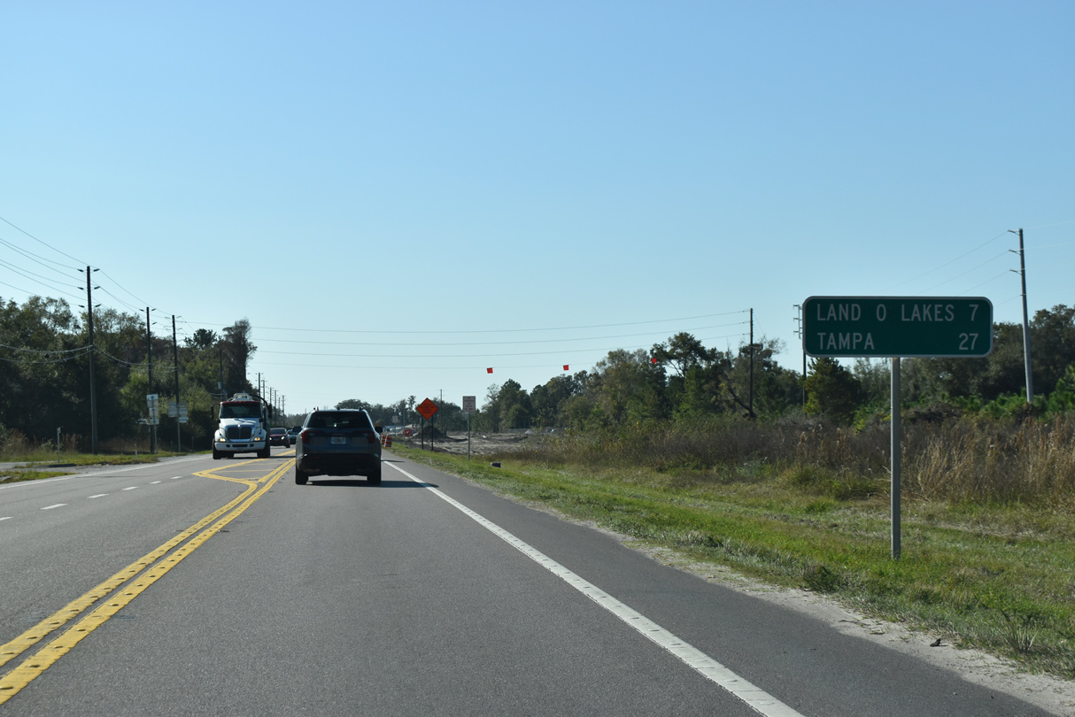
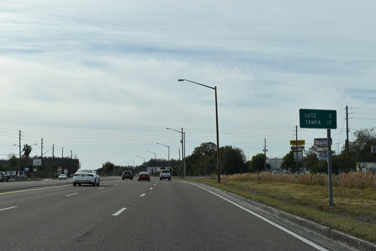
Progressing southward, U.S. 41 reaches the Hillsborough County community of Lutz in six miles and Downtown Tampa in 20 miles.
06/28/25
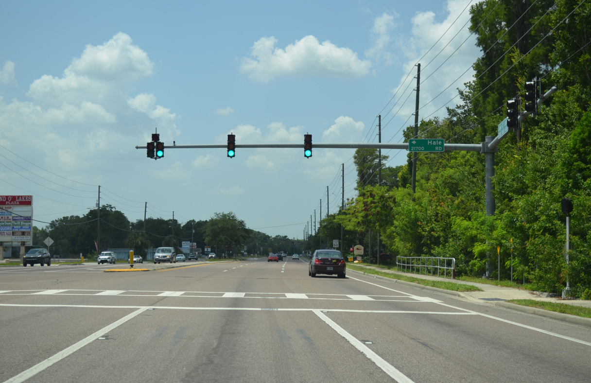
Hale Road provides the first of four east-west connections with parallel Collier Parkway leading south through Land O' Lakes. The parkway serves a myriad of subdivisions to the county line.
06/28/25
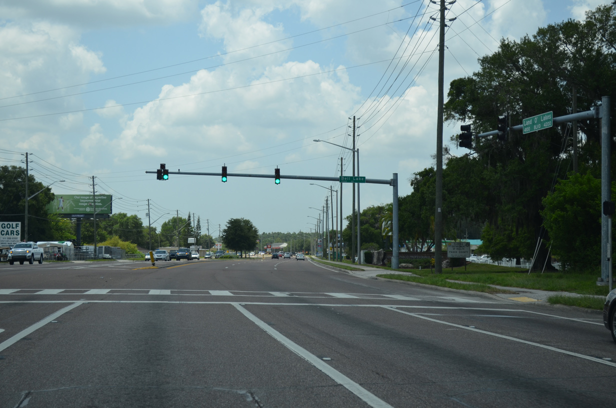
Bell Lake Road also leads east from U.S. 41 (Land O' Lakes Boulevard) to Collier Parkway. The road ended at Banjo Lake Road prior to 2010.
06/28/25
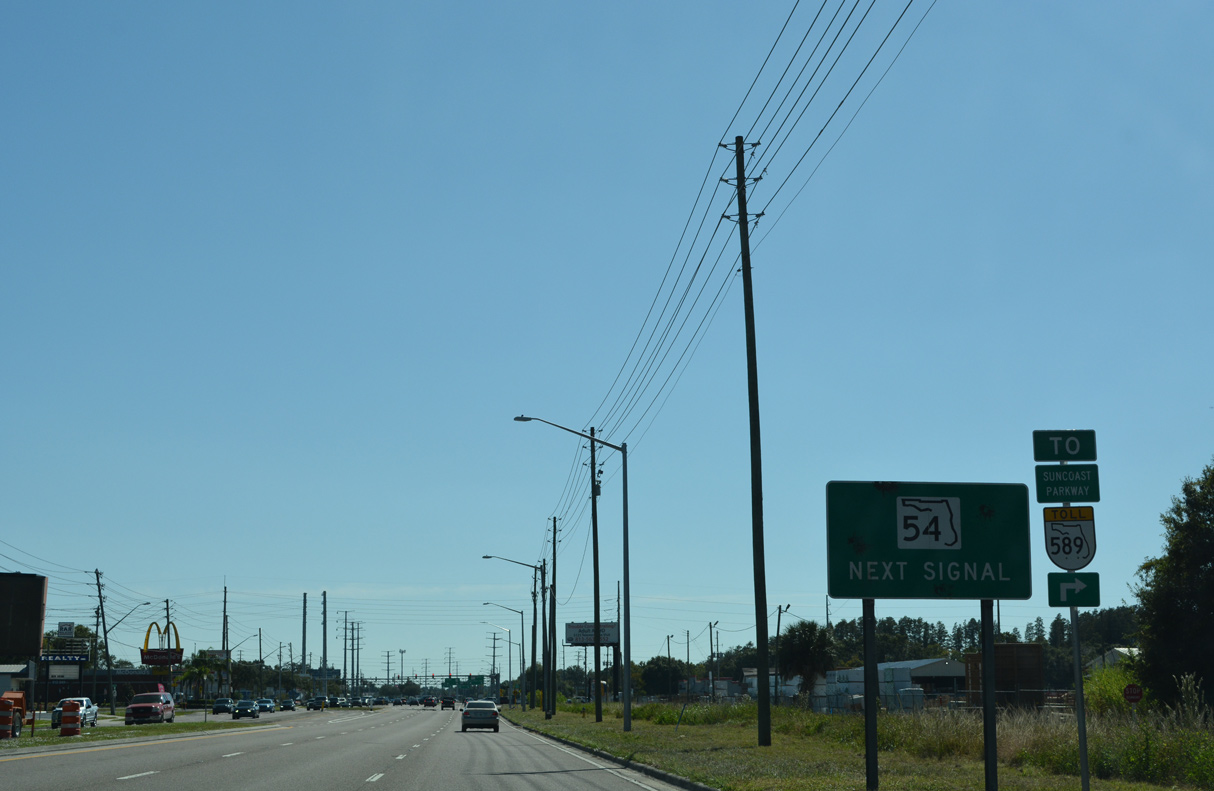
SR 54 and U.S. 41 come together at the heart of Land O' Lakes at a commercialized intersection. A heavily traveled arterial, SR 54 varies between four and six lanes as the main route linking coastal Pasco County with Tampa via Suncoast Parkway (SR 589) and I-75.
06/28/25

An FDOT study in 2014/15 looked at the possibility of elevating SR 54 onto an overpass or short viaduct above both U.S. 41 and the adjacent CSX Railroad. The grade separation would include exit ramps between the two busy arterials.
06/28/25
A CSX Railroad line accompanies U.S. 41 from ahead of SR 54 southward into Lutz.
06/28/25
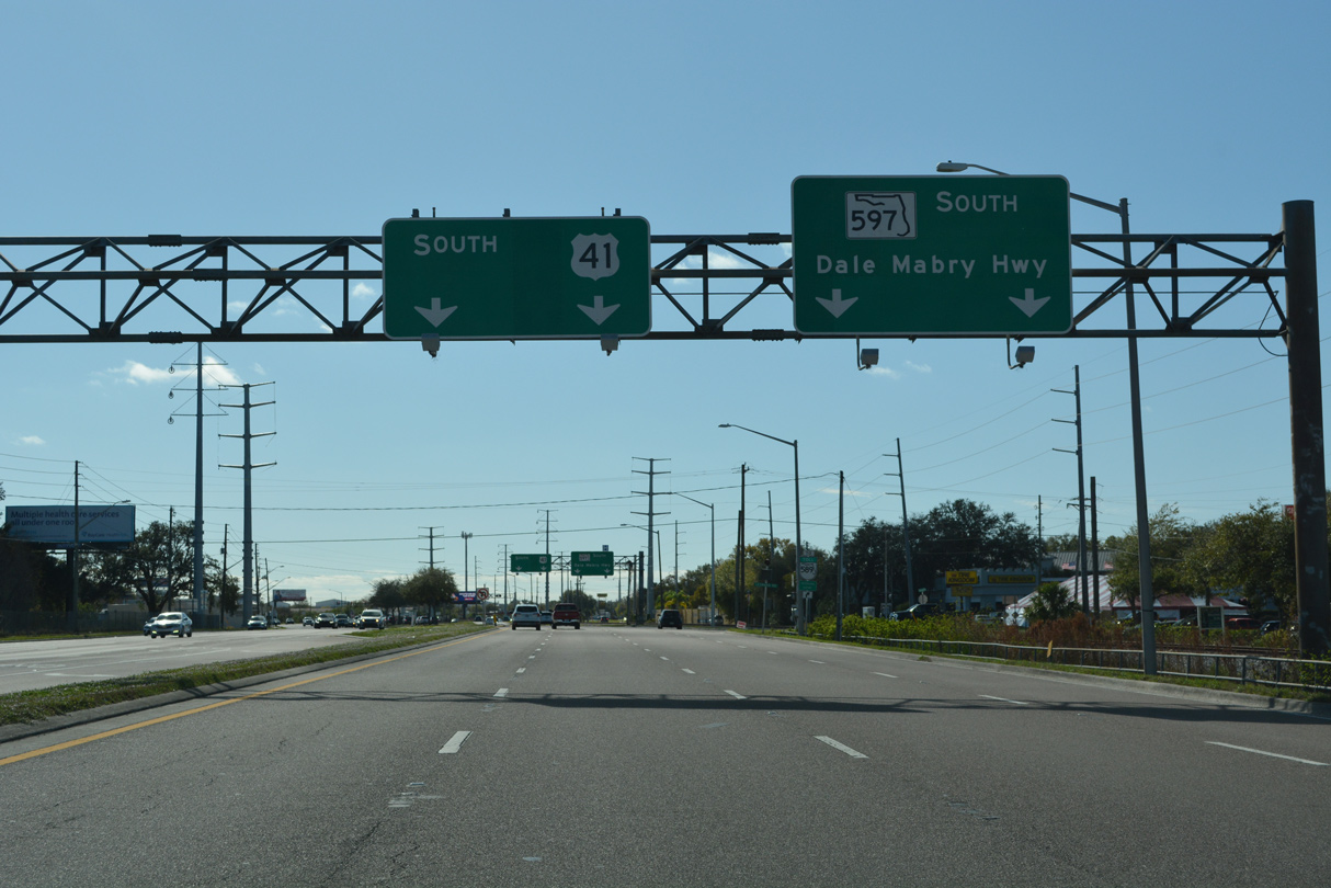
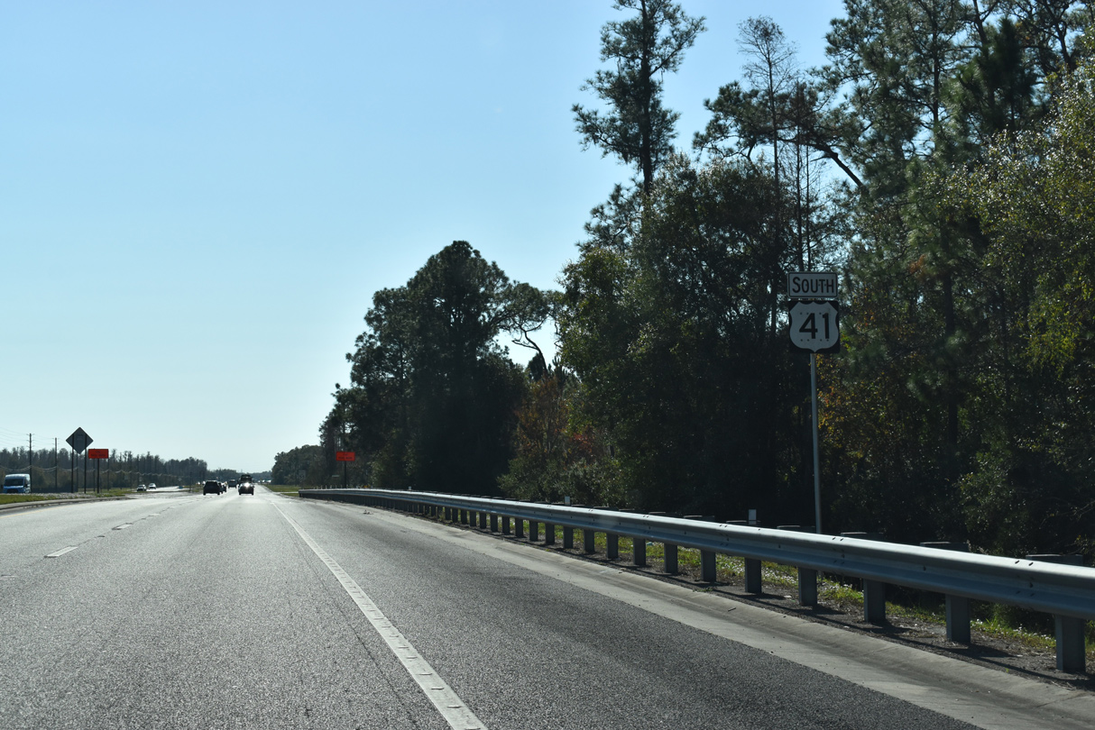
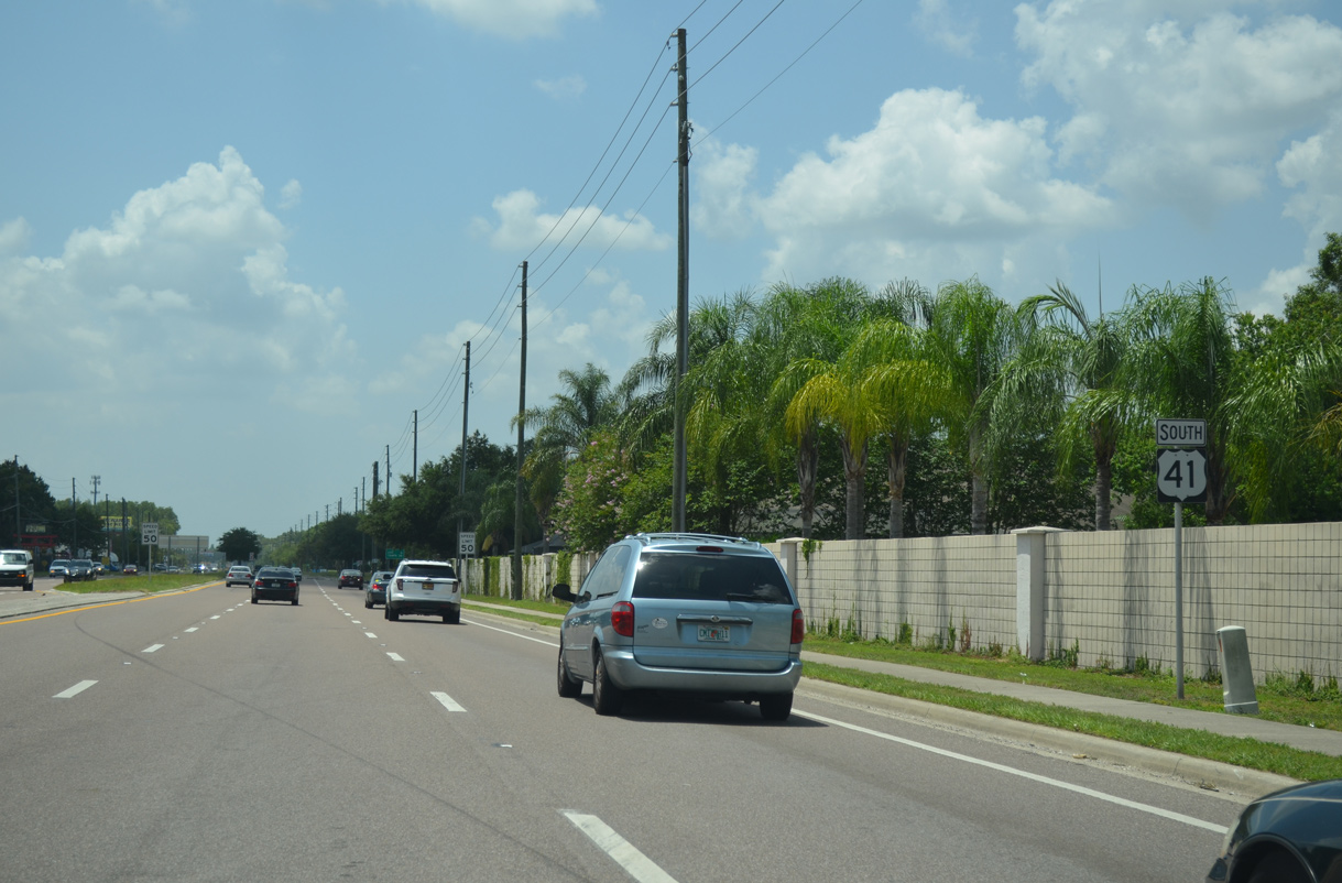
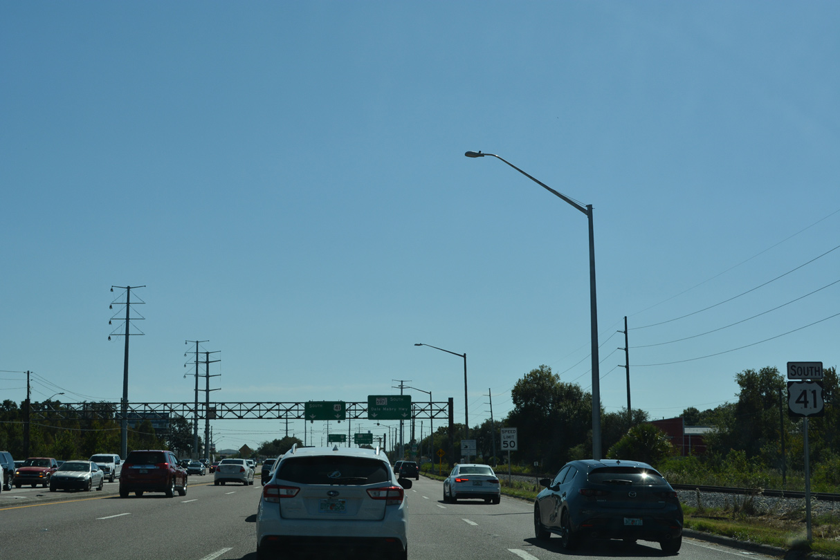
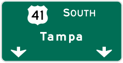
U.S. 41 splits with SR 597 (Dale Mabry Highway) to the immediate south of SR 54. Dale Mabry Highway provides a direct, albeit generally slow moving, route into Tampa.
06/28/25
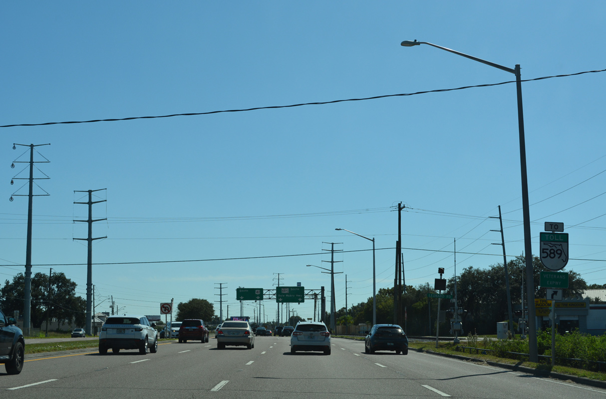
The north end of the Veterans Expressway (SR 568) ties into SR 597 (Dale Mabry Highway), 4.3 miles to the southwest in Lutz. The toll road runs south to Westshore in Tampa.
06/28/25
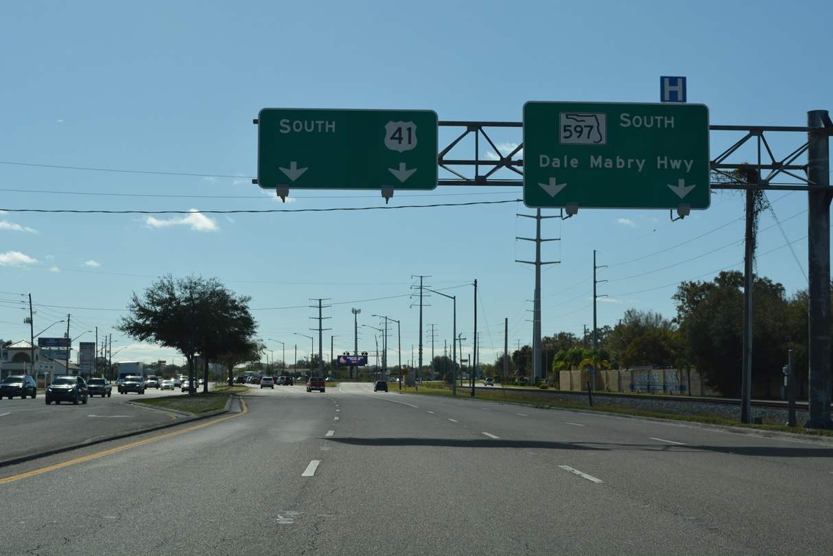
U.S. 41 and SR 597 both connect Lutz with the Carrollwood and Lake Magdelene areas of north Tampa. SR 597 lines Dale Mabry Highway south to SR 580 (Busch Boulevard).
06/28/25
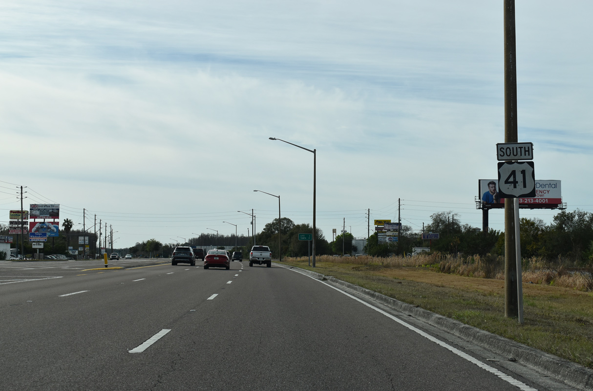
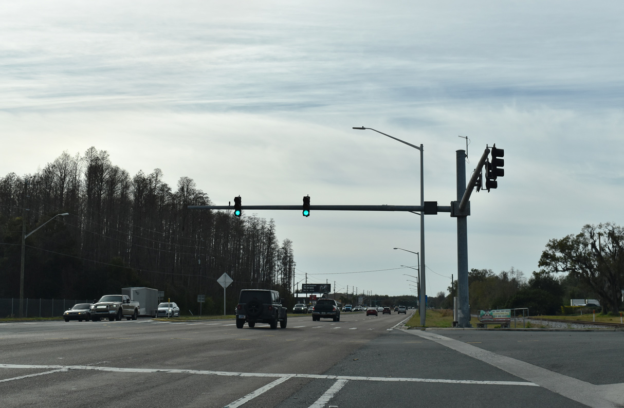
The last reassurance marker for U.S. 41 in Pasco County stands just beyond the apex with SR 597.
06/28/25
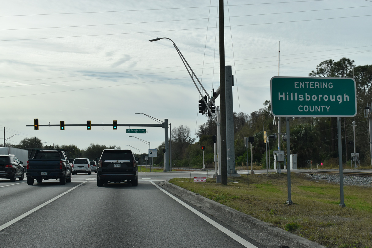
U.S. 41 enters Lutz at the county line, with the historic community center located less than three miles further.
06/28/25
Walmart Way links U.S. 41 and SR 597 (Dale Mabry Highway) with the adjacent retail area.
06/28/25
County Line Road east and Willow Bend Parkway west come together at U.S. 41 along the Hillsborough County. Willow Bend Parkway winds northeast to Collier Parkway while County Line Road provides a cutoff to Dale Mabry Highway (SR 597).
06/28/25
References:
- 256324-2-52-01 US 41 Widening from north of Connerton Boulevard to south of SR 52. Florida Department of Transportation District 7, project web page.
- Land o' Lakes, Florida. Wikipedia.
Photo Credits:
- Alex Nitzman: 12/13/21
- Brent Ivy: 06/28/25
Connect with:
Page Updated Sunday June 29, 2025.