
U.S. 50 West - Dearborn & Ripley Counties
 West
West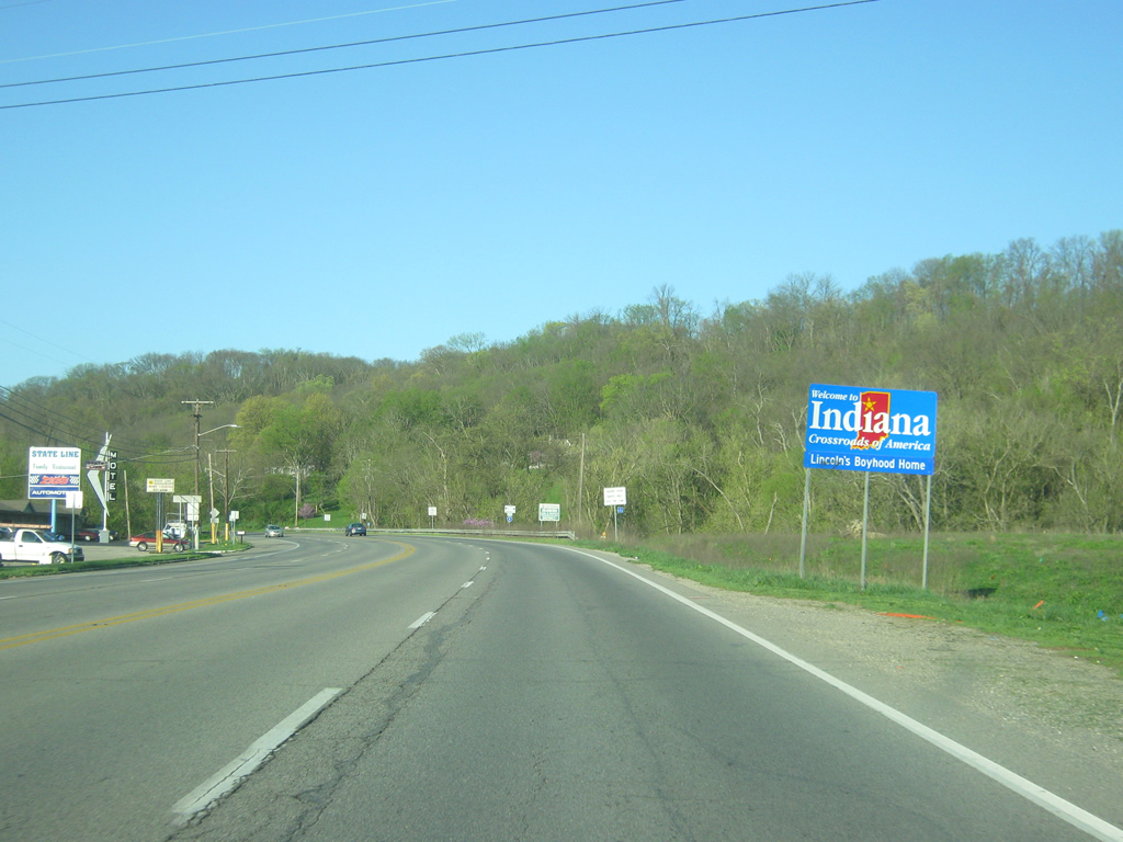
U.S. 50 begins its 171.5 mile journey west of State Line Road as the highway enters Dearborn County (population 50,047). U.S. 50 enters the city of Greendale (population 4,520) as a four lane undivided highway.
04/07/12
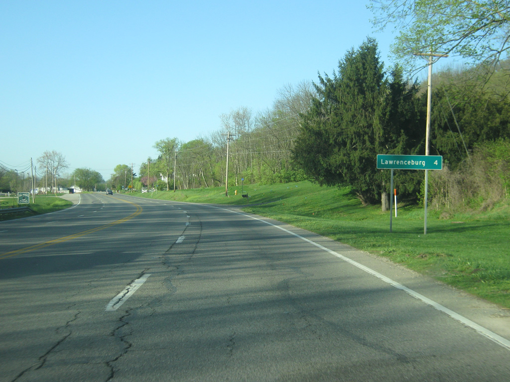
Just past the state line, the Dearborn County seat of Lawrenceburg is only four miles away. Most of the development within Dearborn County is concentrated along U.S. 50 from Greendale southwest through Lawrenceburg and Aurora.
04/07/12
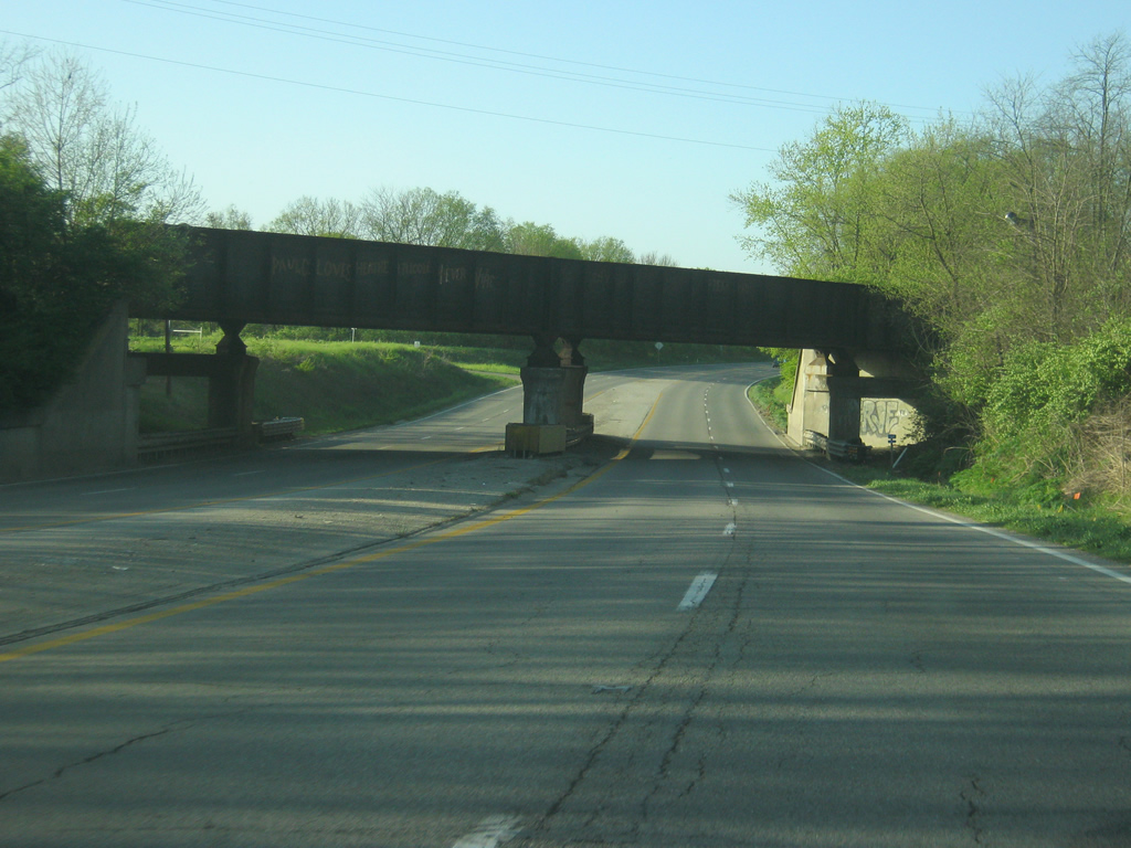
U.S. 50 (Eads Parkway) passes underneath the CSX railroad bridge south of the intersection with Oberting Road.
04/07/12

The U.S. highway consists of four lanes from the western end of the 6th Street Viaduct in Cincinnati west along the Ohio River into Dearborn County and onward toward Lawrenceburg and Aurora.
04/07/12
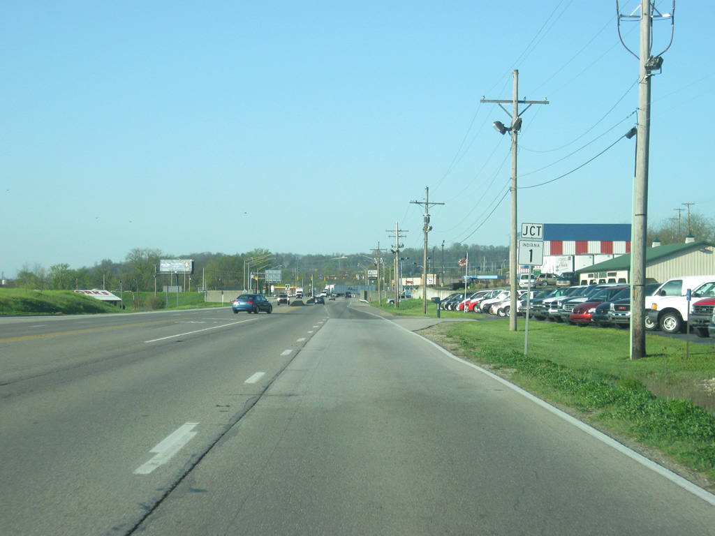
The first state highway that U.S. 50 (Eads Parkway) intersects is SR 1, which begins its 137 mile journey here in Greendale, heading north toward St. Leon, Brookville, Connersville, Hagerstown, Redkey, Bluffton and Fort Wayne. A second segment exists north of Fort Wayne toward Steuban County. The state highway passes by the Perfect North Slopes ski area a couple of miles north of Greendale.
04/07/12
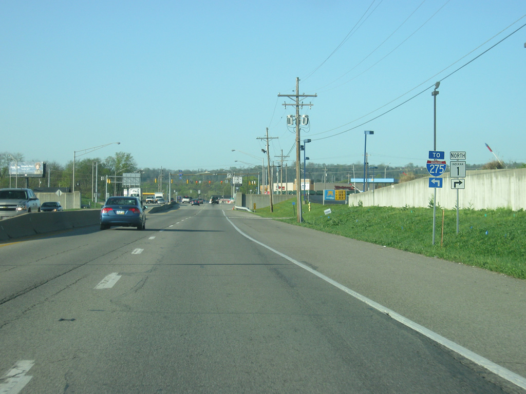
While SR 1 (Belleview Avenue) heads north to the right of the upcoming intersection with U.S. 50 (Eads Parkway,) an access road to nearby Interstate 275 heads off to the left. Spanning three states and 83.71 miles, Interstate 275 serves as the beltway for the Cincinnati Metropolitan Area and is the longest loop interstate in the country. Interstate 275 encroaches into Indiana for a mere three miles, serving the state and U.S. 50 only at this interchange.
04/07/12
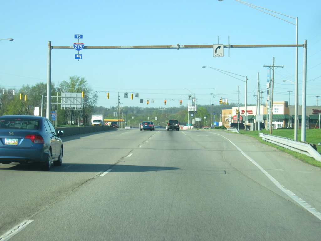
An access road leads to a trumpet interchange connecting U.S. 50 (Eads Parkway) and SR 1 to Interstate 275. To the south, the beltway connects Dearborn County to northern Kentucky, the Cincinnati-Northern Kentucky International Airport (CVG) and Downtown Cincinnati. To the north, the beltway heads toward Cincinnati’s northern suburbs and the Dayton area.
04/07/12
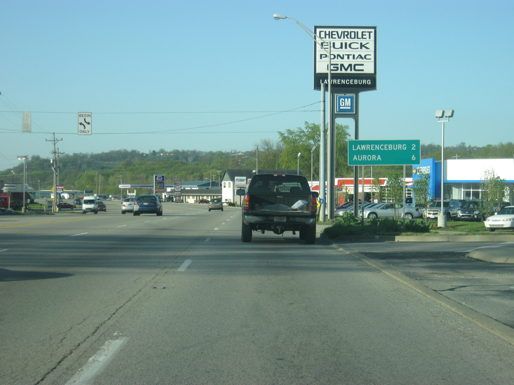
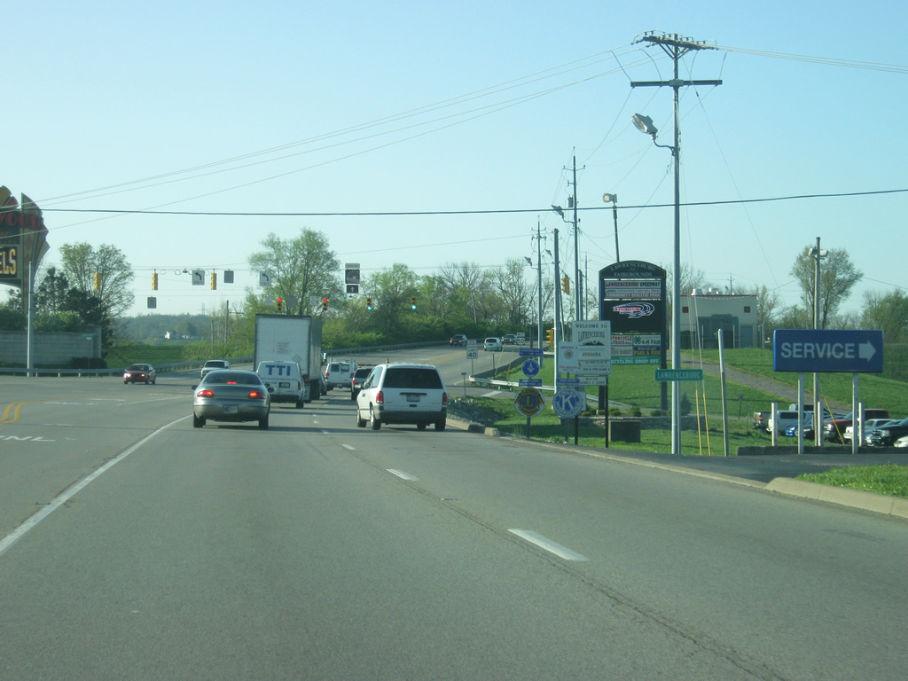
South of the intersection with the access road to Interstate 275 and SR 1 north, Lawrenceburg is two miles away. Aurora, at the intersection with SR 56 and SR 350, is six miles ahead.
04/07/12
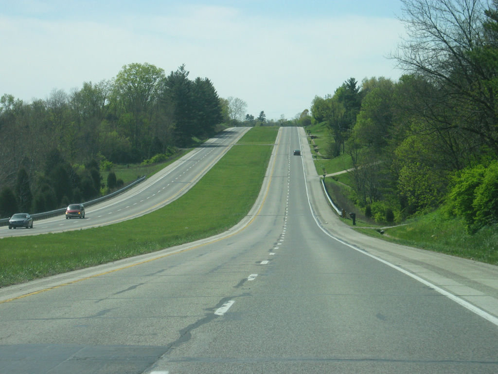
U.S. 50 (Eads Parkway) continues south as a six lane highway from the intersection with the Interstate 275 access road and the north side of Lawrenceburg. Because of the Ohio River’s only crossing in the county is via Interstate 275, the majority of commuter traffic in Lawrenceburg, Aurora, and rural Dearborn County must utilize U.S. 50, SR 1, and the access road to get to I-275 and Cincinnati.
04/07/12
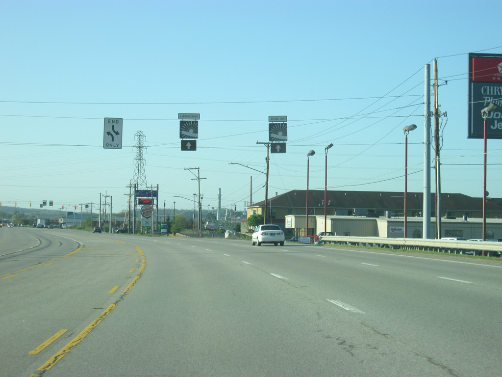
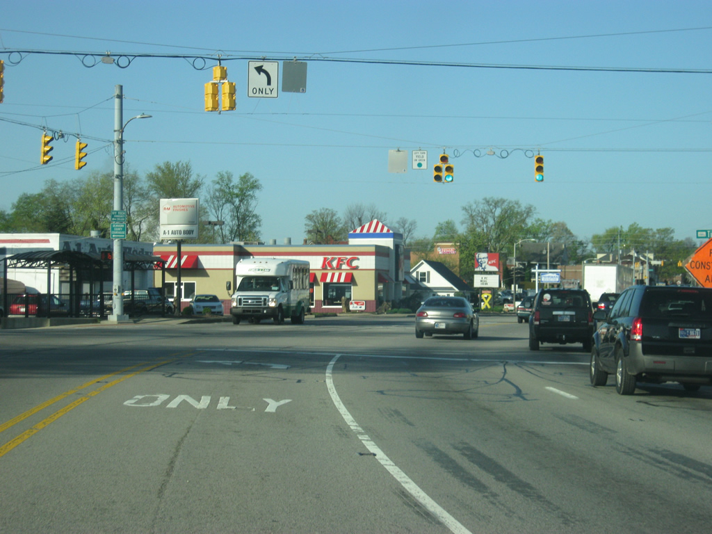
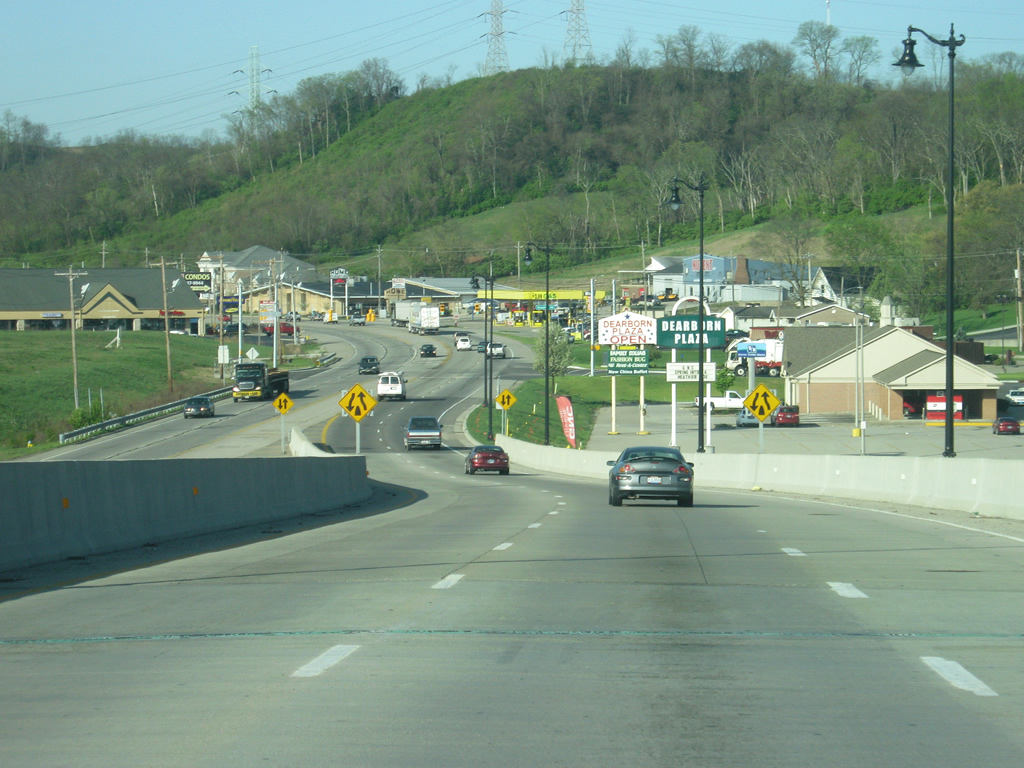
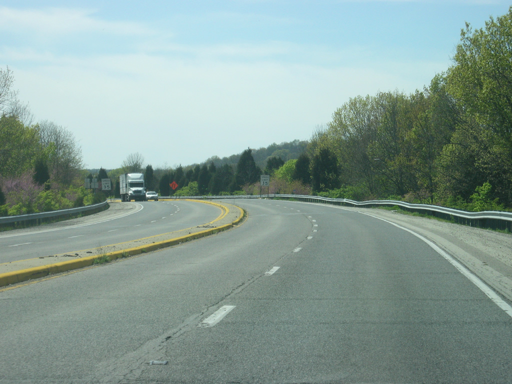
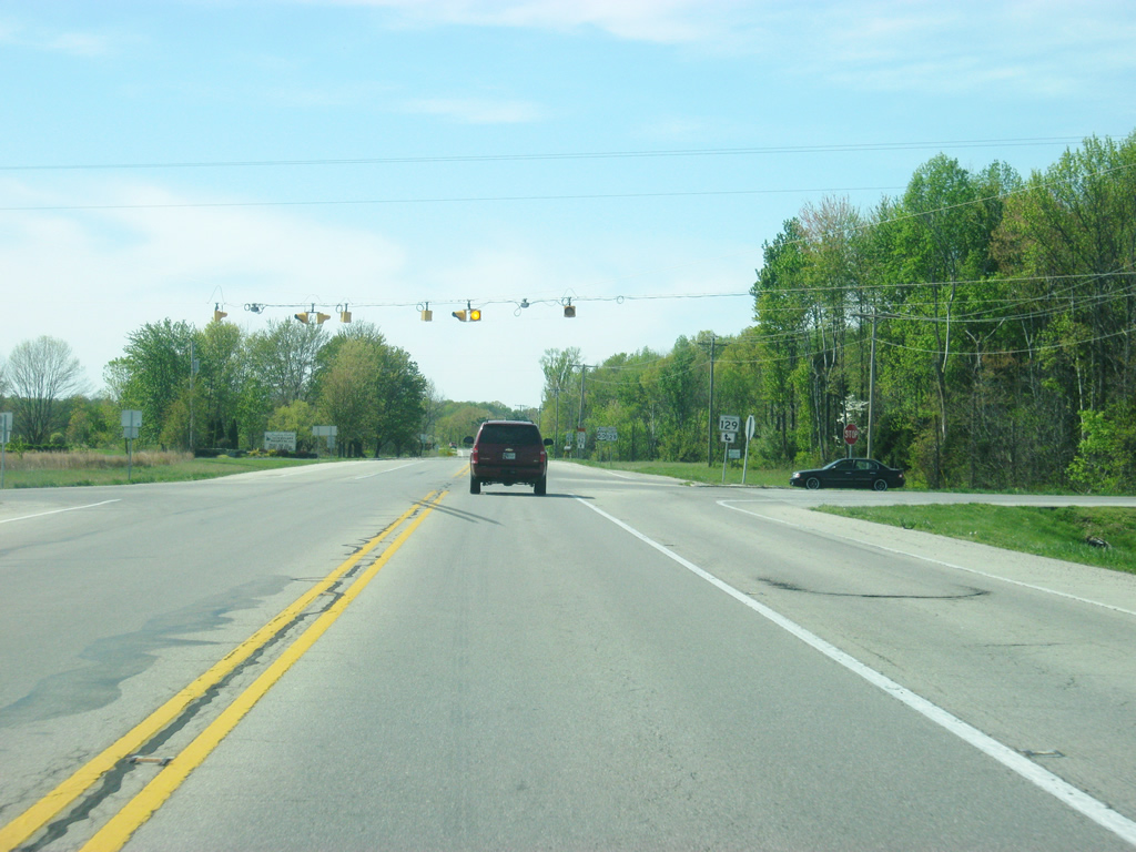
U.S. 50 (Eads Parkway) at the intersection with Lorey Lane. Guide signs direct visitors toward the casinos in Lawrenceburg and Rising Sun. The casinos serve the Greater Cincinnati area and are the only ones in the region until the completion of the Downtown Cincinnati casino. The main part of Greendale lies to the west of U.S. 50.
04/07/12
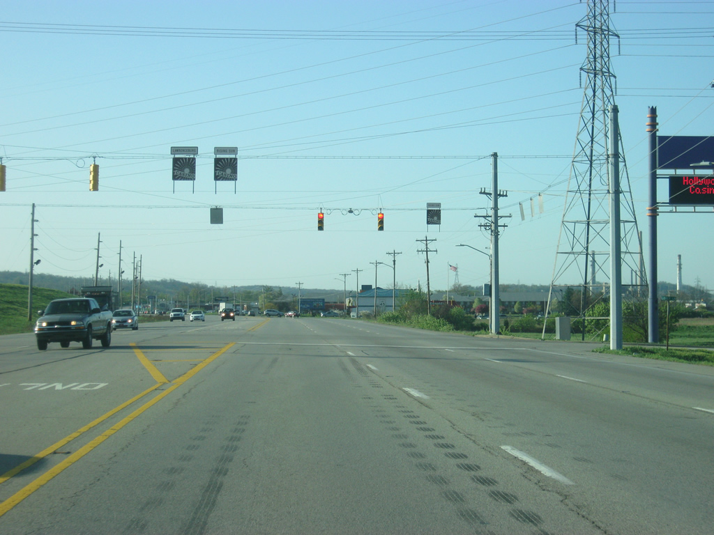
U.S. 50 (Eads Parkway) enters the Dearborn County seat of Lawrenceburg (population 5,042) at the intersection with Hollywood Boulevard, which leads south to the Hollywood Casino Lawrenceburg.
04/07/12
Entering the heart of the Lawrenceburg area, U.S. 50 (Eads Parkway) follows the northern fringe of the street grid of the city.
04/07/12
Walnut Street heads south from U.S. 50 into Downtown Lawrenceburg.
04/07/12
A view of U.S. 50 (Eads Parkway) between the signalized intersections with Walnut Street and Front Street. Front Street connects to Main Street (via 4th Street). Main Street is former SR 1 prior to the rerouting of the state highway to the north of Greendale.
04/07/12
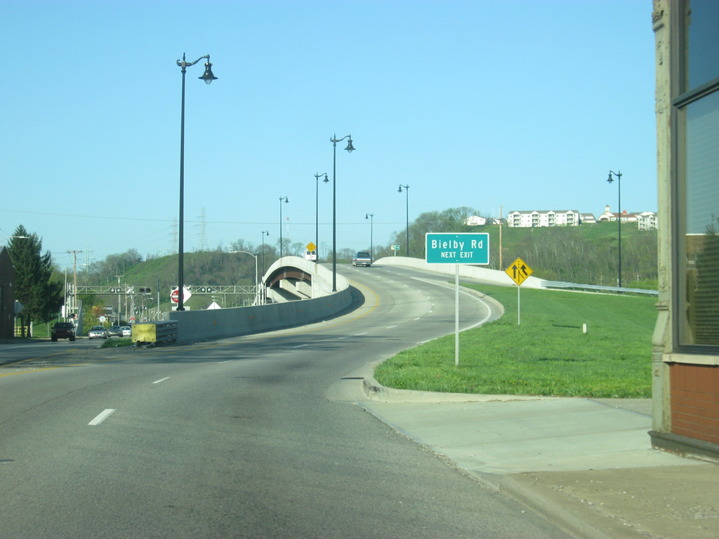
South of the intersection with Front Street U.S. 50 (Eads Parkway) prepares to cross over Tanners Creek and a railroad line via a new overpass that was completed in the late 2000's. The newly constructed overpass is for westbound traffic along U.S. 50 only, as an overpass for eastbound traffic has yet to be constructed. Bielby Road (former SR 48) can be reached via a departure ramp at the end of the overpass. An on-ramp from southbound Main Street approaches the U.S. 50 overpass.
04/07/12
At the top of the overpass over Tanners Creek, the exit ramp for Bielby Road (former SR 48) prepares to turn off of U.S. 50 (Eads Parkway). Bielby Road carried SR 48 until the mid-2000s when the highway’s approach from the hilltop into the valley at U.S. 50 was rebuilt via a straighter route.
04/07/12
Westbound U.S. 50 continues south from the overpass over Tanners Creek as it rejoins the original U.S. 50 routing (current eastbound U.S. 50).
04/07/12
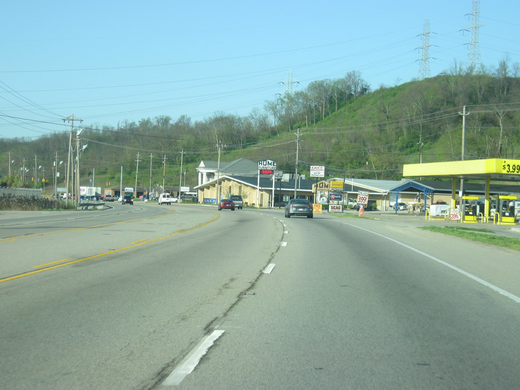
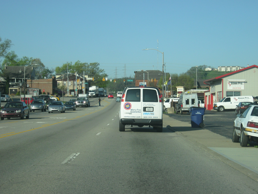
South of the Tanner Creek overpass, U.S. 50 (Eads Parkway) enters a string of commercial development that connects Lawrenceburg and Aurora.
04/07/12
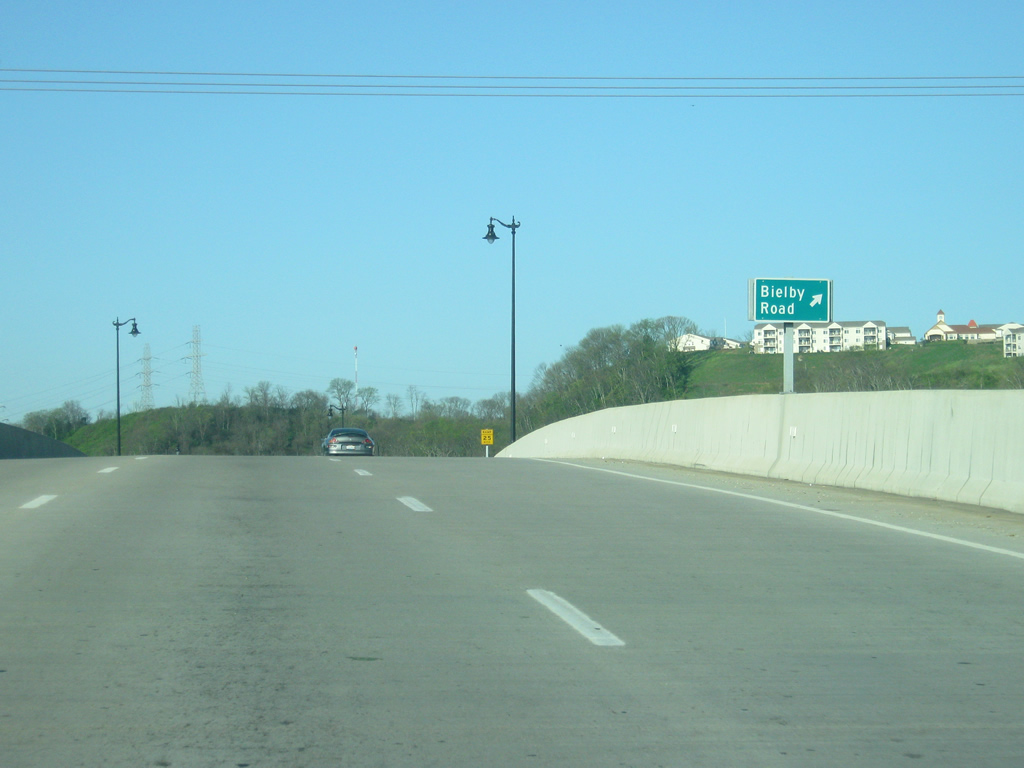
Approaching the junction between U.S. 50 (Eads Parkway) and SR 48 west. SR 48 exists in three segments with the eastern one stretching from U.S. 50 west for 33 miles to SR 229 in Napoleon. SR 48 originally winded its way up a series of hills from U.S. 50 (Eads Parkway) to the Dearborn County Hospital via Bielby Road, but was rebuilt on a straighter alignment to the south through rock cuts down to U.S. 50.
04/07/12
Aurora is three miles away from the junction with SR 48 west. The Jennings County town of North Vernon is still 47 miles ahead with the Jackson County city of Seymour, lying at the junction of U.S. 50 and Interstate 65, 62 miles away.
04/07/12
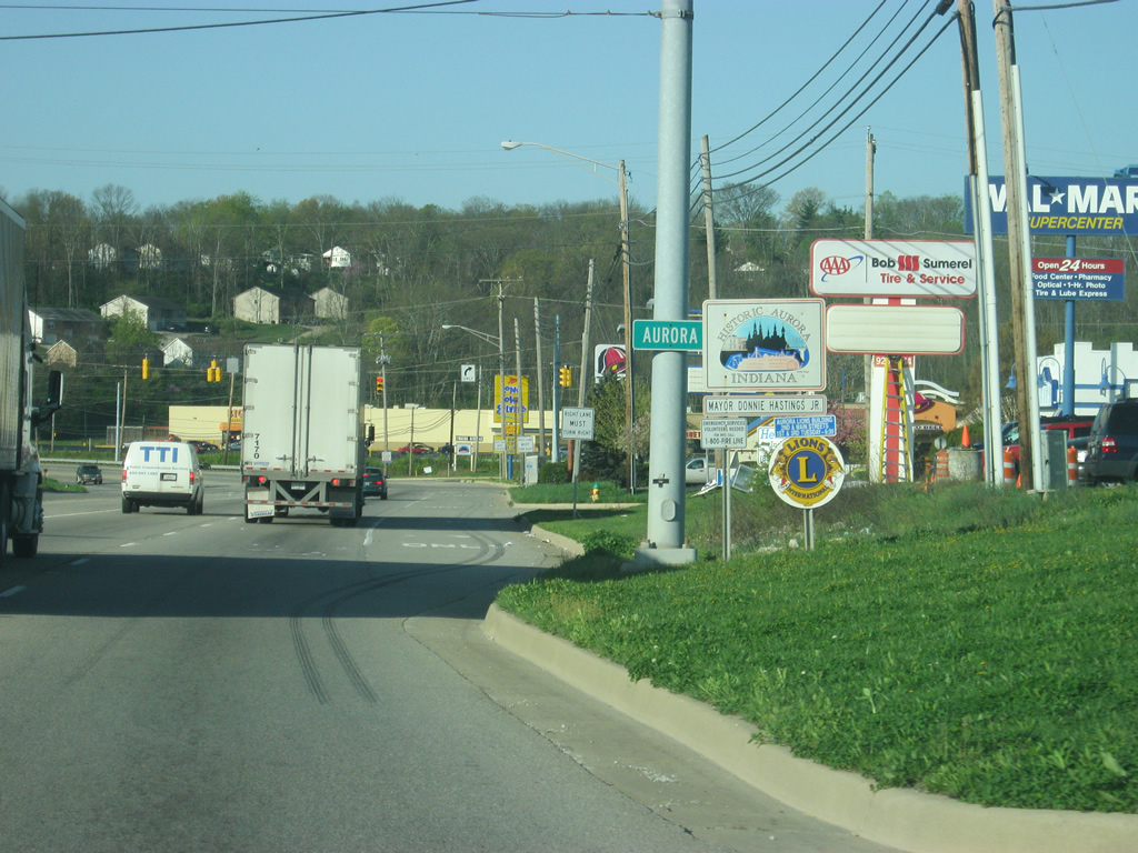
U.S. 50 (Eads Parkway) enters the riverfront town of Aurora (population 3,965). The highway passes through more commercial zones toward the main residential part of Aurora.
04/07/12
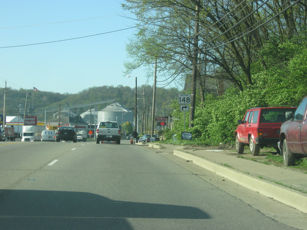
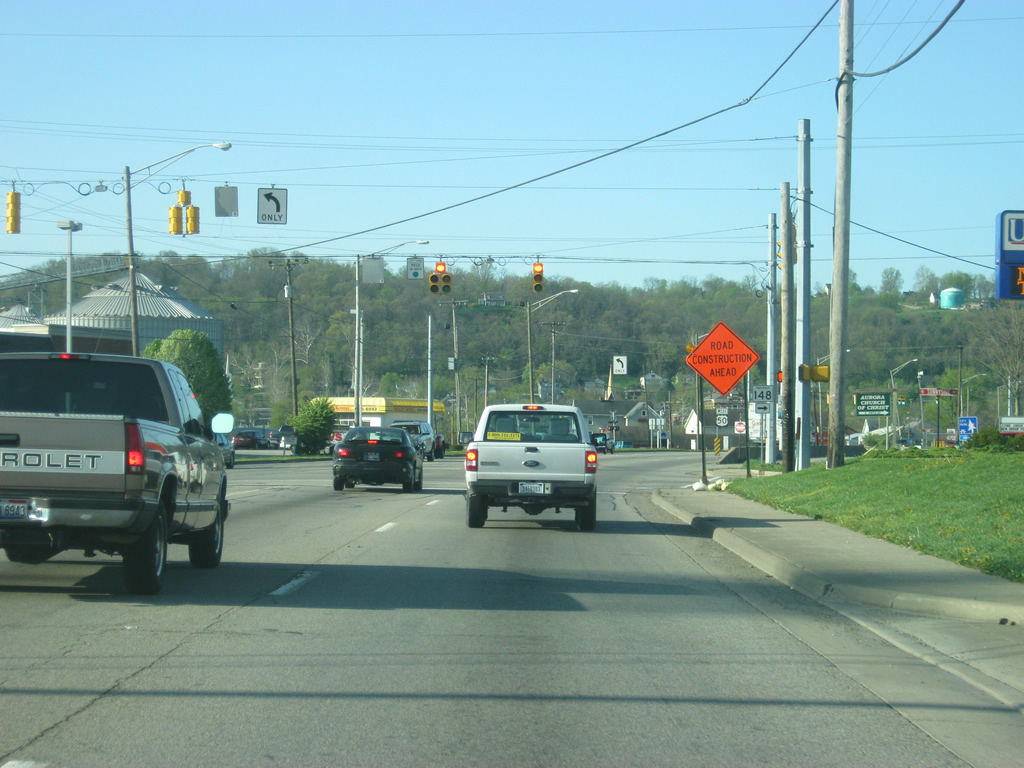
U.S. 50 (Green Boulevard) approaches the intersection for SR 148 (Sunnyside Avenue). SR 148 goes for five miles as it connects U.S. 50 with SR 48 to the north.
04/07/12
Crossing the intersection with U.S. 50 (Green Boulevard) and SR 148 (Sunnyside Avenue).
04/07/12
The Ohio River Scenic Route, a national scenic route that follows the Ohio River across the states of Ohio, Indiana and Illinois, follows U.S. 50 from the Ohio border to the upcoming intersection with SR 56. The Ohio River Scenic Route follows SR 56 to the south toward Rising Sun.
04/07/12
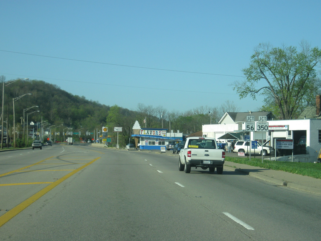
Approaching the junction with U.S. 50 (Green Boulevard) and SR 56 west/SR 350 west. SR 56 follows the Ohio River from U.S. 50 south to Rising Sun, Vevay, Madison, Scottsburg, Paoli and Jasper before ending its 194 mile journey at U.S. 41 in Gibson County. SR 350 goes for 23 miles west to Milan and Osgood.
04/07/12
The Rising Star Casino in Rising Sun can be reached by taking SR 56 south for approximately ten miles from the town of Aurora. SR 350 continues west out of Aurora and past the South Dearborn Middle and High Schools complex on its way to Milan.
04/07/12
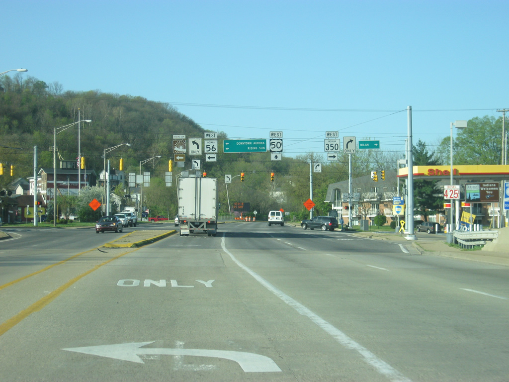
U.S. 50 (Green Boulevard) at the intersection of SR 56 west/SR 350 west (Importing Street). Downtown Aurora is to the immediate east of this intersection, where SR 56 follows several streets before leaving town heading south along the Ohio River.
04/07/12
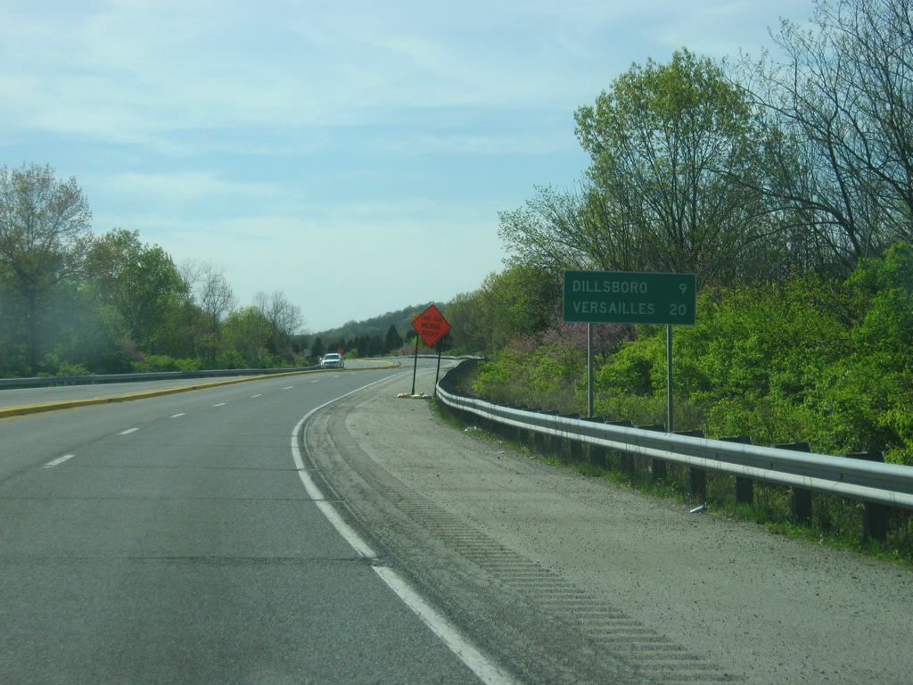
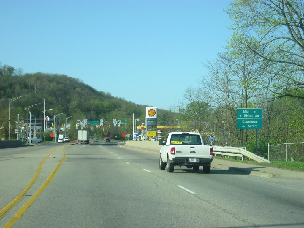
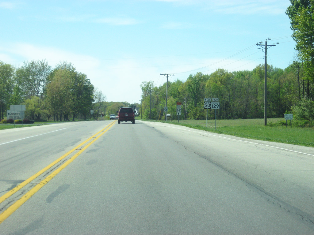
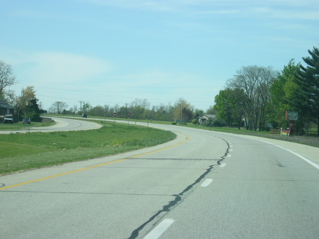
West of the intersection with SR 56 west/SR 350 west, Dillsboro is the next community along U.S. 50 at a distance of nine miles. The Ripley County seat of Versailles is 20 miles off.
04/07/12
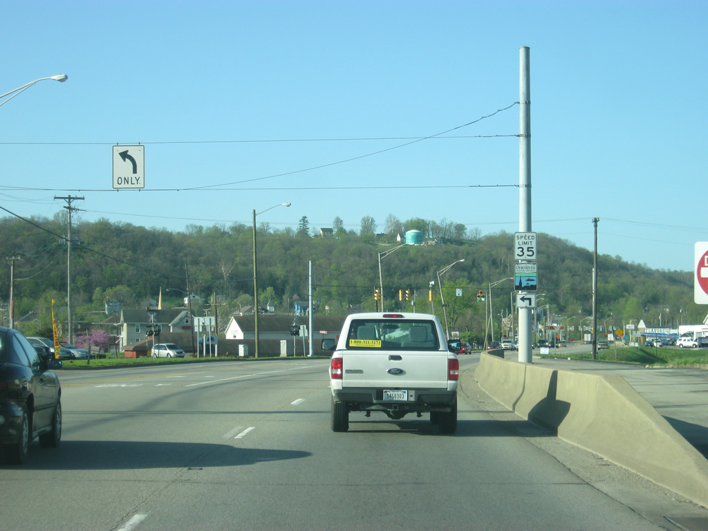
U.S. 50 (Green Boulevard) begins to climb up a hill from the Ohio River valley.
04/07/12
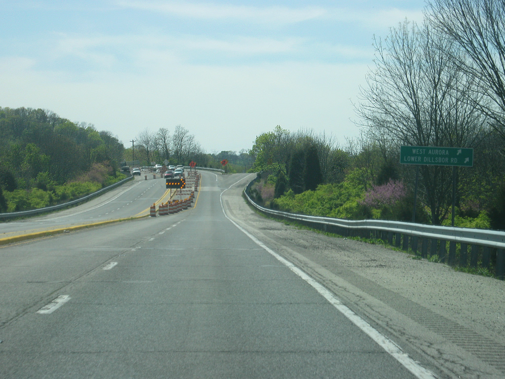
Reaching the west side of Aurora, U.S. 50 (Green Boulevard) approaches the turn off to Forest Avenue. Use Forest Avenue west and Indiana Avenue south to reach Lower Dillsboro Road.
04/07/12
U.S. 50 ascends from the Ohio River valley as the four lane divided highway leaves the town of Aurora heading toward the rural western part of Dearborn County and the Dillsboro area.
04/07/12
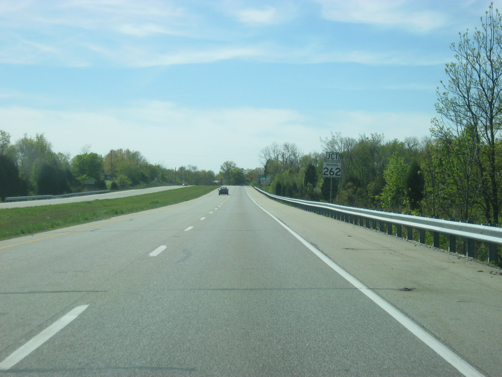
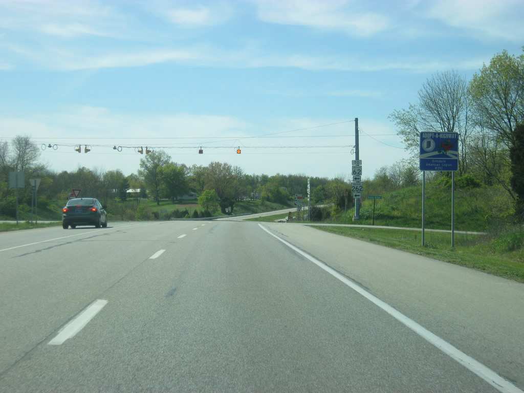
As it reaches the eastern edge of Dillsboro, U.S. 50 begins its approach to SR 262, a 15 mile highway that stems southeasterly from U.S. 50 to Rising Sun.
04/07/12
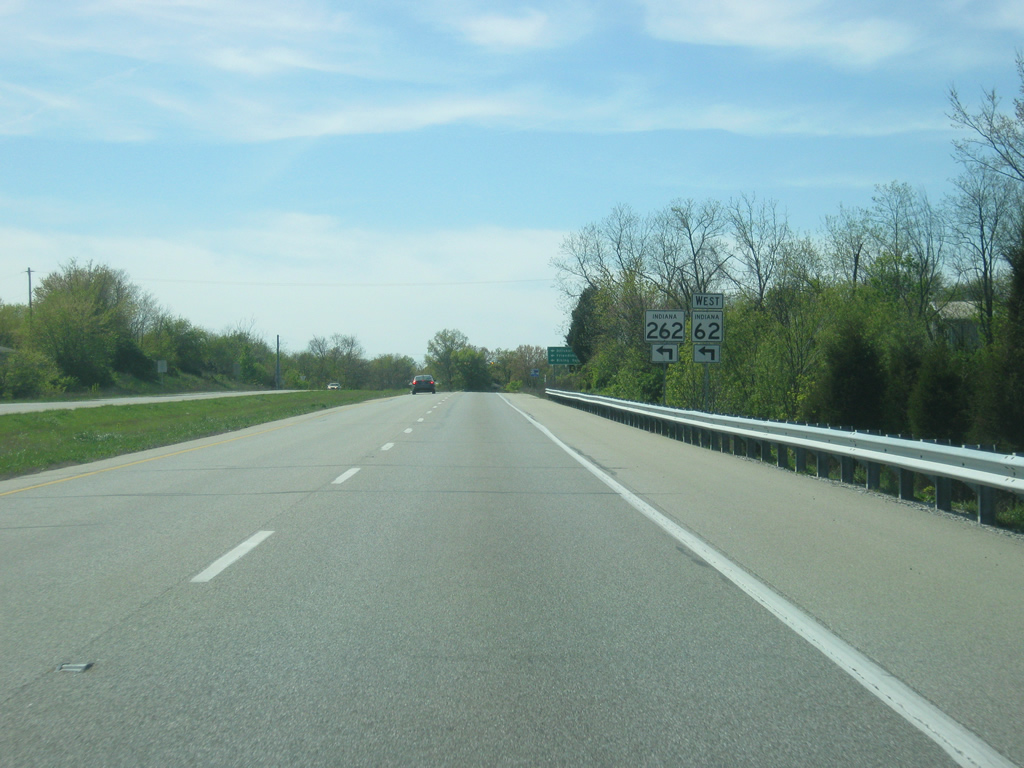
SR 262 has a junction with SR 62 immediately south of U.S. 50. SR 62 constitutes a 228 mile highway that goes from Dillsboro to the Wabash River outside of Mount Vernon in southwestern Indiana. Dillsboro and Friendship is reached via SR 62 west while SR 262 heads to the southeast back toward the Ohio County seat of Rising Sun.
04/07/12
A flasher light marks the intersection between U.S. 50 and SR 262.
04/07/12

Versailles is 12 miles away from the intersection with SR 262. Seymour is 47 miles ahead.
04/07/12
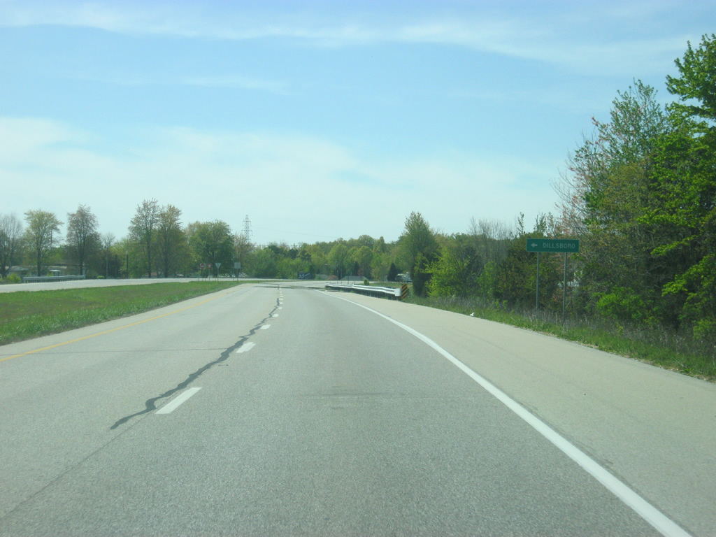
Front Street goes south from U.S. 50 into the town of Dillsboro, which the four lane expressway bypasses to the north. North of U.S. 50, Beatty Road heads north toward Schmaltz Road.
04/07/12
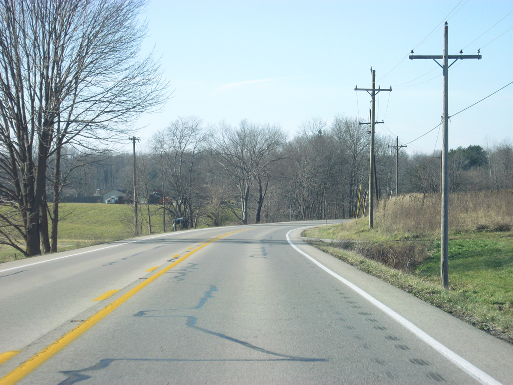
U.S. 50 continues to the northwest from the Dillsboro area as the highway loses traffic from the Greater Cincinnati area. The U.S. highway will cross over into Ripley County in about 2.7 miles.
04/07/12
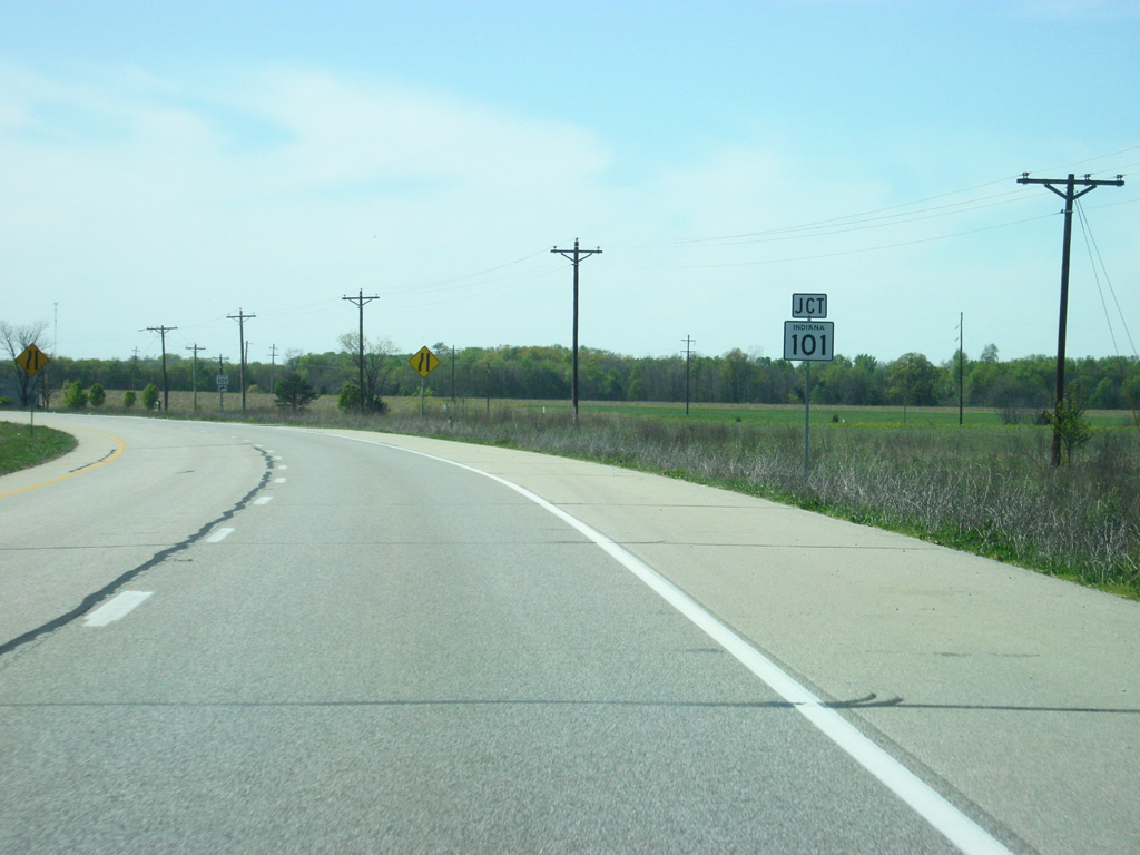
Upon entering Ripley County, U.S. 50 west approaches the intersection with SR 101.
04/07/12
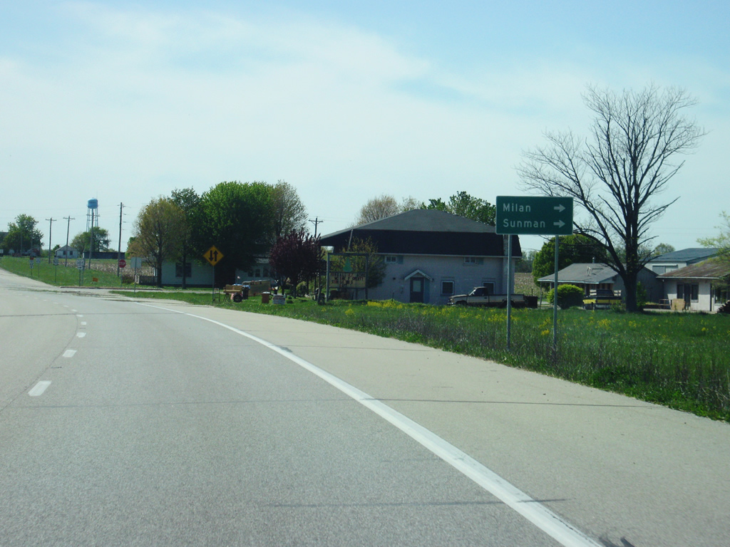
SR 101 exists in four segments, the only state highway to do so. The shortest segment exists at the Markland Dam along the Ohio River connecting SR 156 with the Kentucky state line. The second segment goes from U.S. 50 north to Interstate 74 near Penntown. The third segment goes from Brookville to Liberty around Brookville Lake. The final segment exists east of Fort Wayne from SR 124 to SR 1 and SR 8. The town of Milan is six miles to the north along SR 101 and Sunman is 14 miles to the north. Milan is best known for the home of the 1954 Indiana basketball state champions, which inspired the movie Hoosiers.
04/07/12
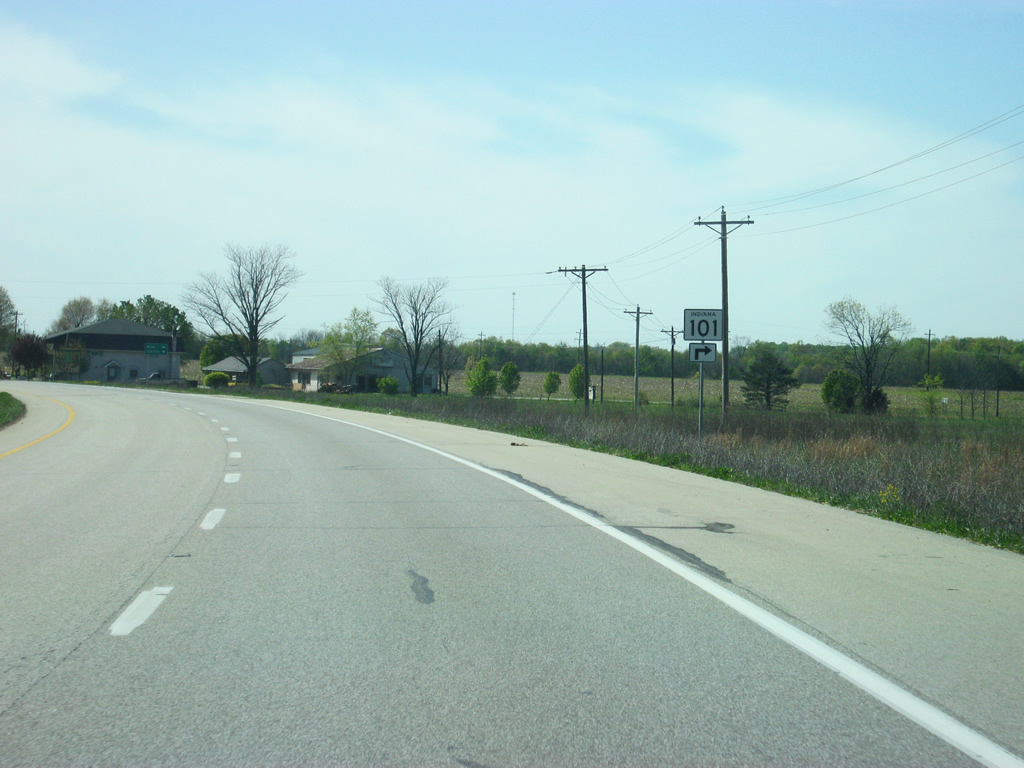
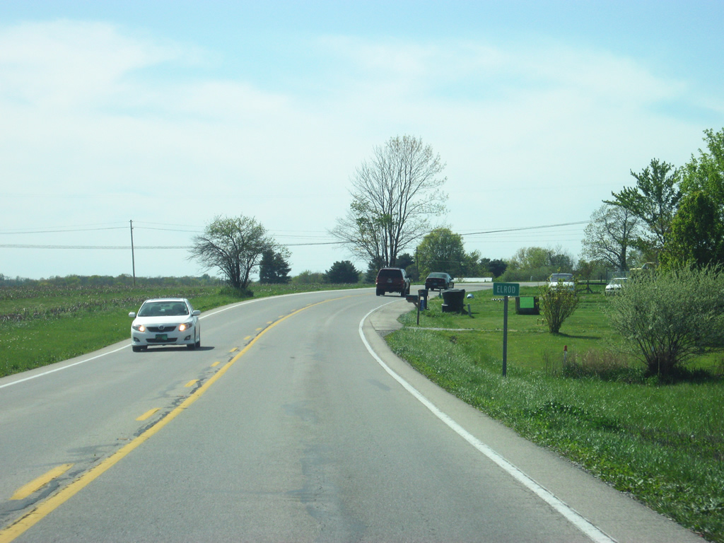
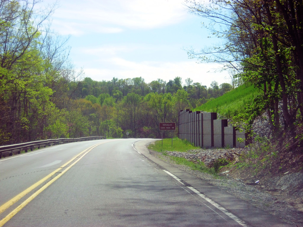
West of SR 101, a guide sign directs motorists toward Versailles State Park, situated approximately two miles away to the west. U.S. 50 retracts to a two lane highway as it goes through the town of Elrod.
04/07/12
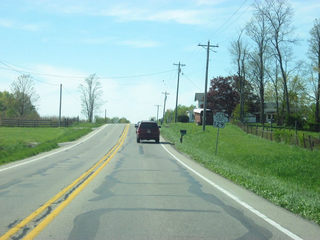
Directly ahead is the junction with SR 129 north. SR 129 traverses almost 32 miles from Vevay in Switzerland County north to Batesville at SR 46.
04/07/12

SR 129 will follow U.S. 50 west toward Versailles, situated 3.9 miles ahead. The town of Delaware is located 6.2 miles to the north at the intersection with SR 350. Batesville, the largest city in Ripley County is 15 miles to the north. SR 129 represents the best route between Batesville and Versailles.
04/07/12
A flasher light marks the intersection with U.S. 50 west and SR 129 north.
04/07/12
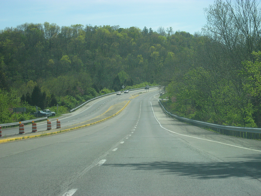
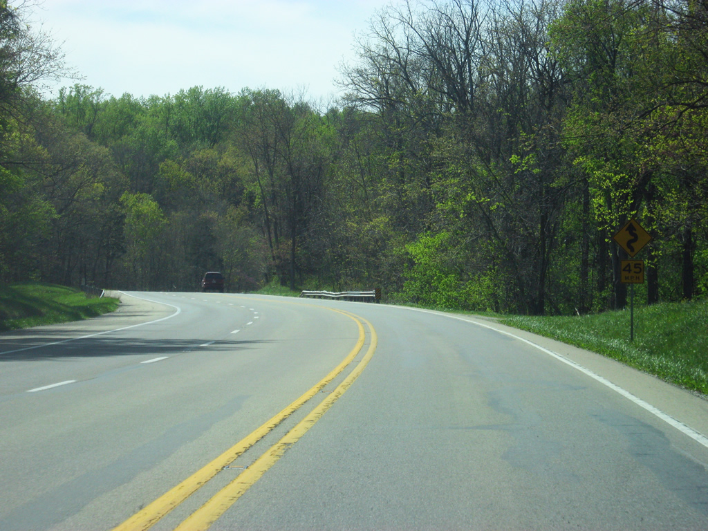
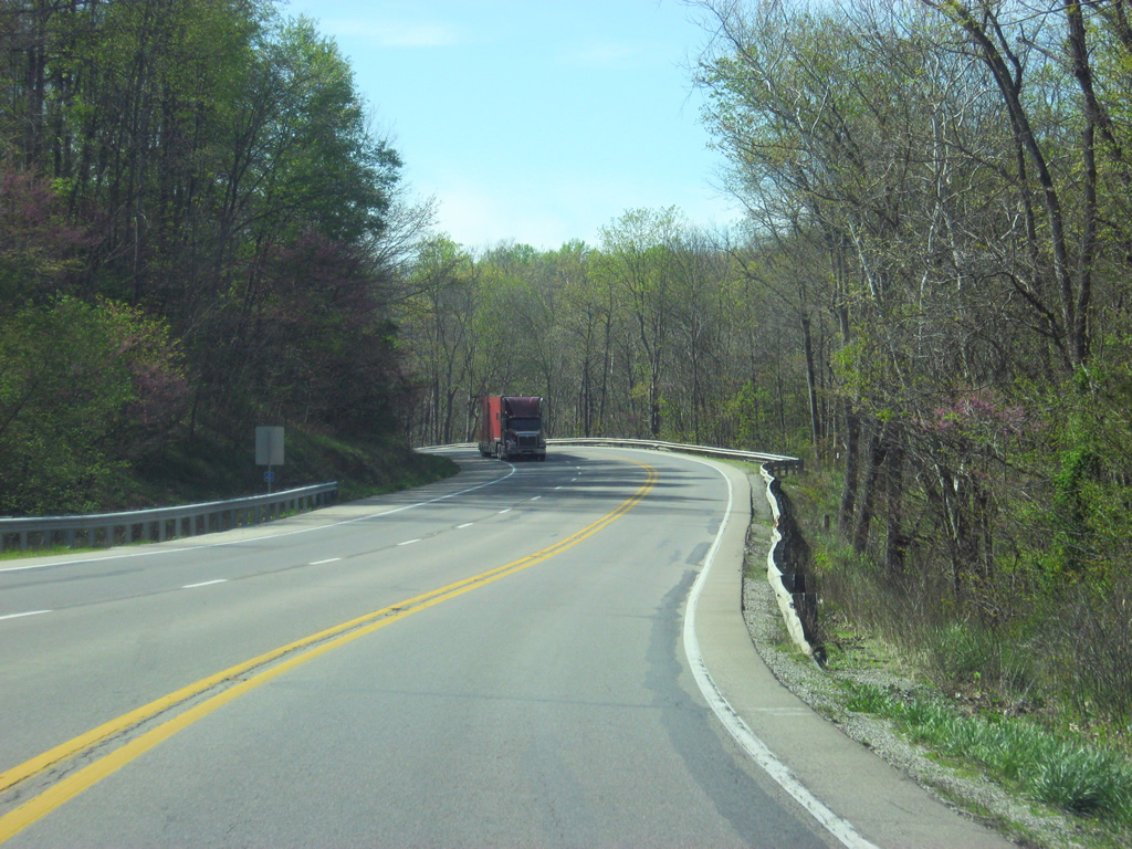
U.S. 50 west & SR 129 south continue west along the southern boundary of Versailles State Park. Past the SR 129 north intersection, U.S. 50 is only a few miles from Versailles.
04/07/12
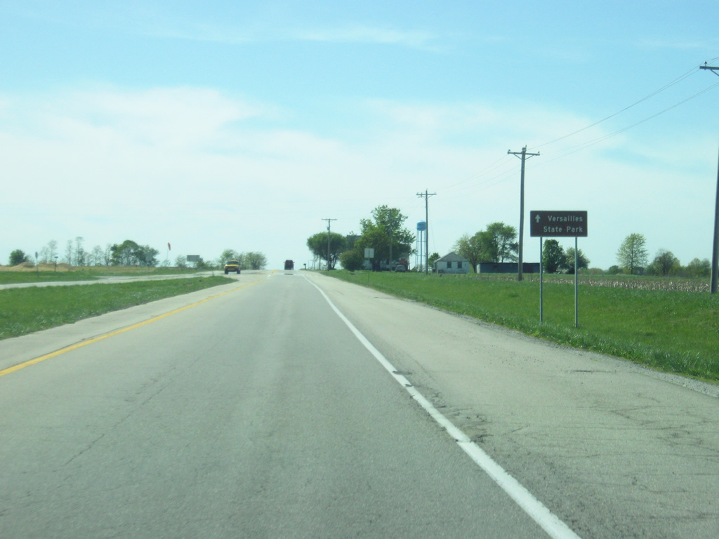
U.S. 50 west & SR 129 south wind their way into the valley of Laughery Creek on the southern edge of Versailles State Park. Laughery Creek was dammed up to the north to form Versailles Lake within Versailles State Park. Versailles State Park, the second-largest park in the system, is reached via U.S. 50 & SR 129 north. The two designated highways climb up from the valley of Laughery Creek before entering the Ripley County seat of Versailles (population 2,113). Passing lanes for commercial truckers exist within the confines of the state park.
04/07/12
The two highways enter the town of Versailles. The small town was named in honor of one of the founders (John DePauw) native France city in 1818.
04/07/12
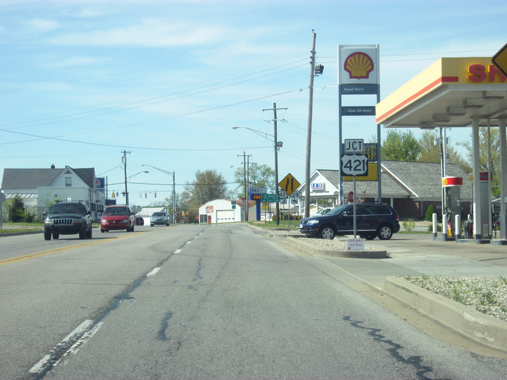
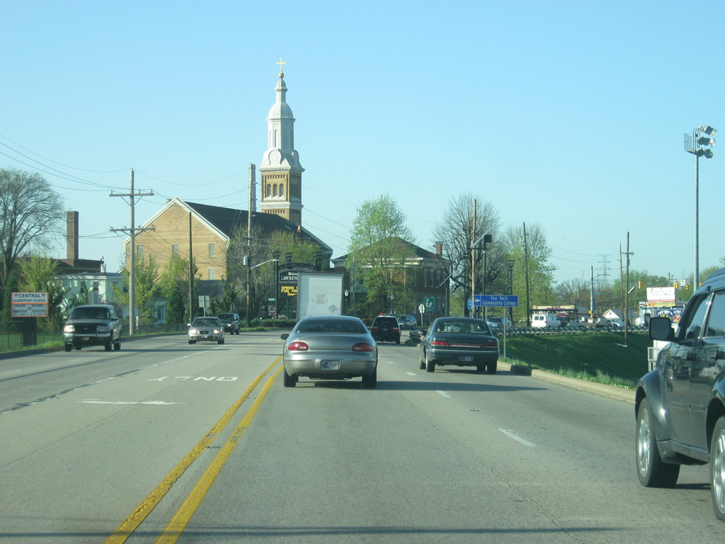
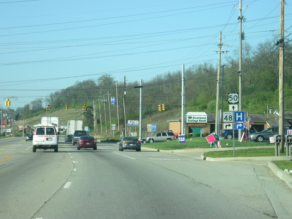
In Versailles, U.S. 50 (Perry Street) nears the intersection with U.S. 421 south (Adams Street). The U.S. highway stretches 232 miles through Indiana, entering in Madison, located along the Ohio River, and ending at U.S. 20 in Michigan City, situated along the shores of Lake Michigan.
04/07/12
SR 129 south prepares to depart U.S. 50 west at the intersection with U.S. 421. The Jefferson County seat of Madison is 24 miles to the south along with Clifty Creek State Park. Both are reached via U.S. 421 south.
04/07/12
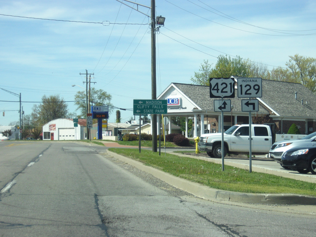
SR 129 turns south along U.S. 421 for a 0.5 mile concurrency before the two split on the south side of Versailles. SR 129 continues to the southeast toward the Switzerland County seat of Vevay. U.S 421 joins U.S. 50 west for a 1 mile jaunt before departing for parts north. Downtown Versailles is located immediately to the north of the intersection via Adams Street.
04/07/12
U.S. 50 & U.S. 421 north (Perry Street) heads west out of the center of town toward their split on the western edge of Versailles.
04/07/12
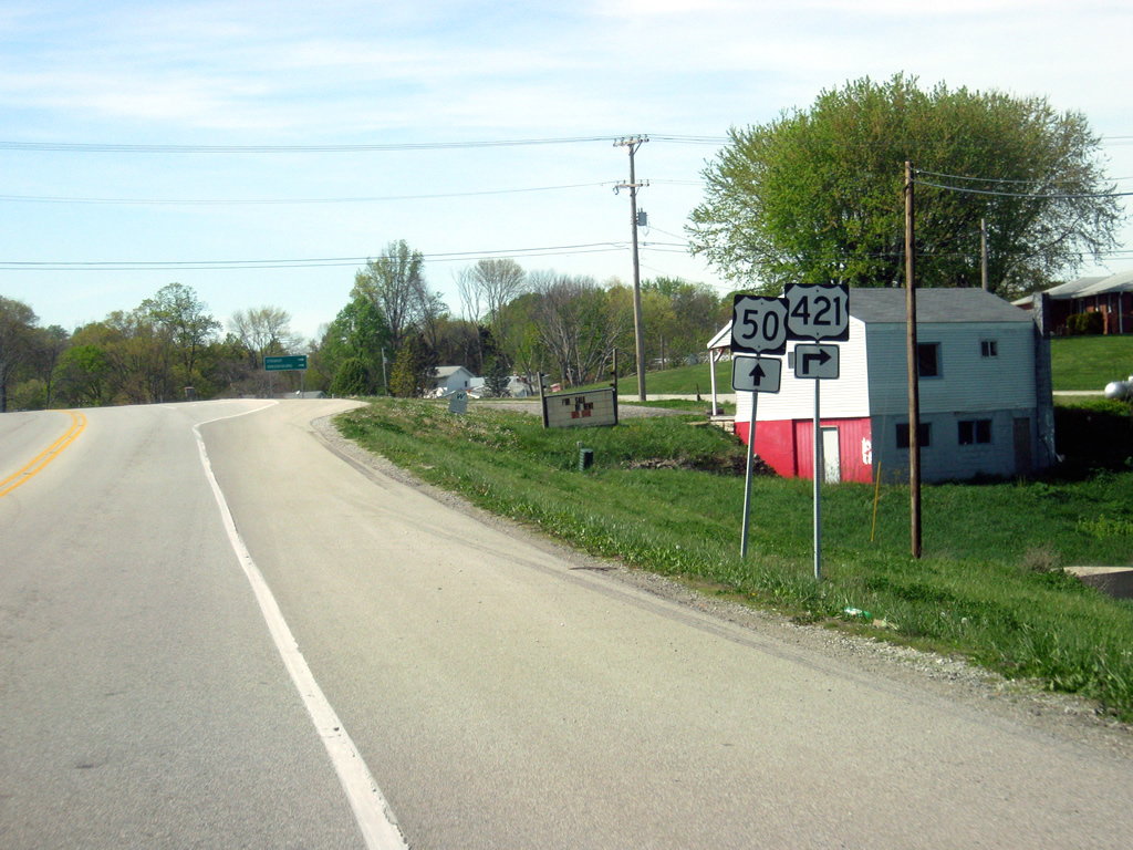
Now approaching the split of U.S. 421 north. U.S. 421 travels for a total of 941 miles from Michigan City to the northwest to Wilmington, North Carolina to the southeast. North of U.S. 50, U.S. 421 travels to Osgood and Greensburg before merging with Interstate 74 west, where the two continue northwest toward Shelbyville and Indianapolis. U.S. 421 continues northward from Indianapolis sans I-74 toward Frankfort, Monticello, and ultimately Michigan City.
04/07/12
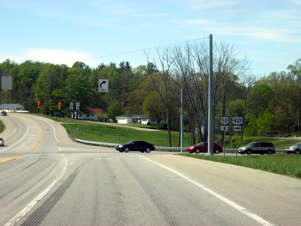
U.S. 421 north departs U.S. 50 west for Osgood and beyond. Originally, this junction was configured as a Y-intersection, but was replaced in the 2000's to resemble a T-intersection.
04/07/12
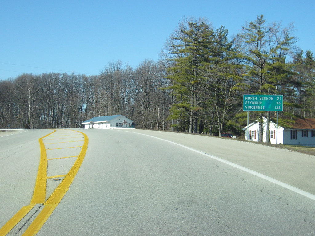
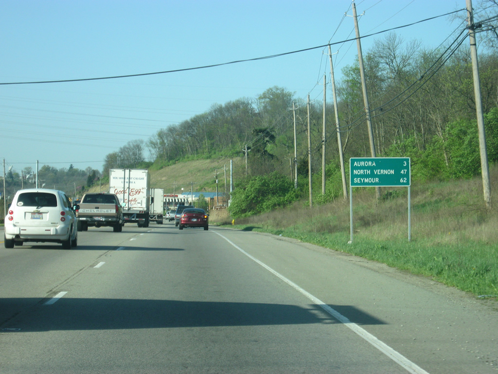
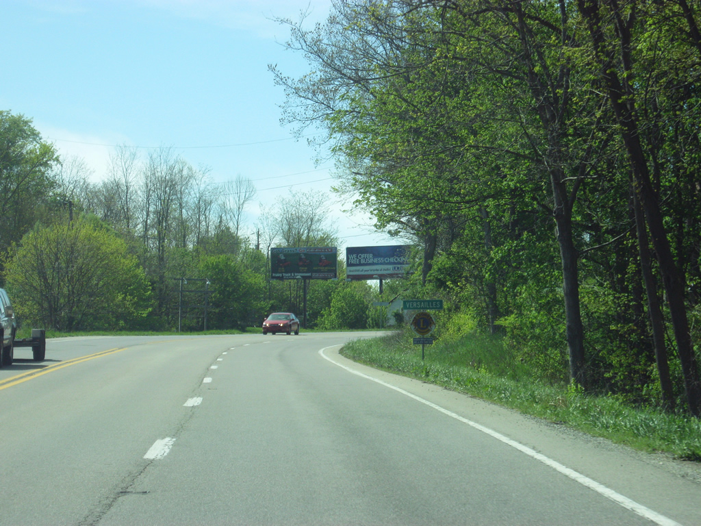
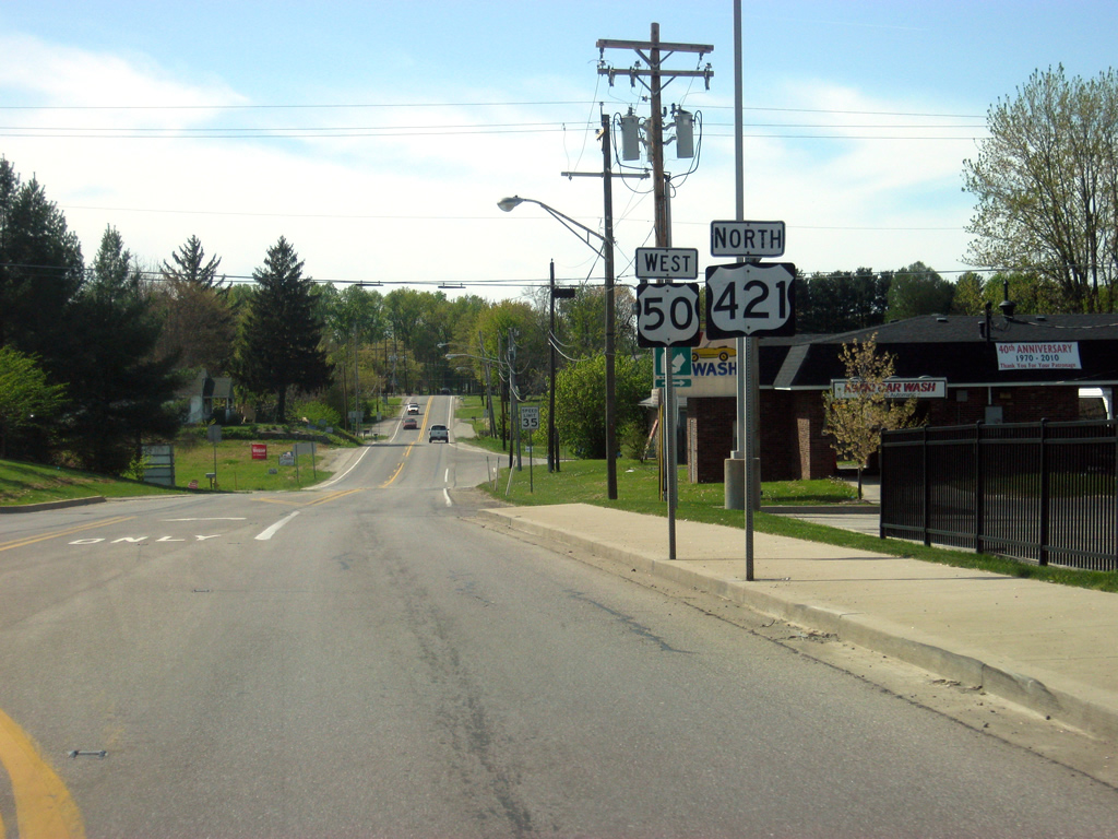
Beyond the split with U.S. 421 north, U.S. 50 heads west out of Versailles. The next major community, North Vernon, is 21 miles away. Seymour, crossroads with Interstate 65, is next at 36 miles and appearing for the first time is Vincennes, along the Wabash River at the point where U.S. 50 crosses into Illinois. Vincennes is 133 miles to the west.
12/18/11

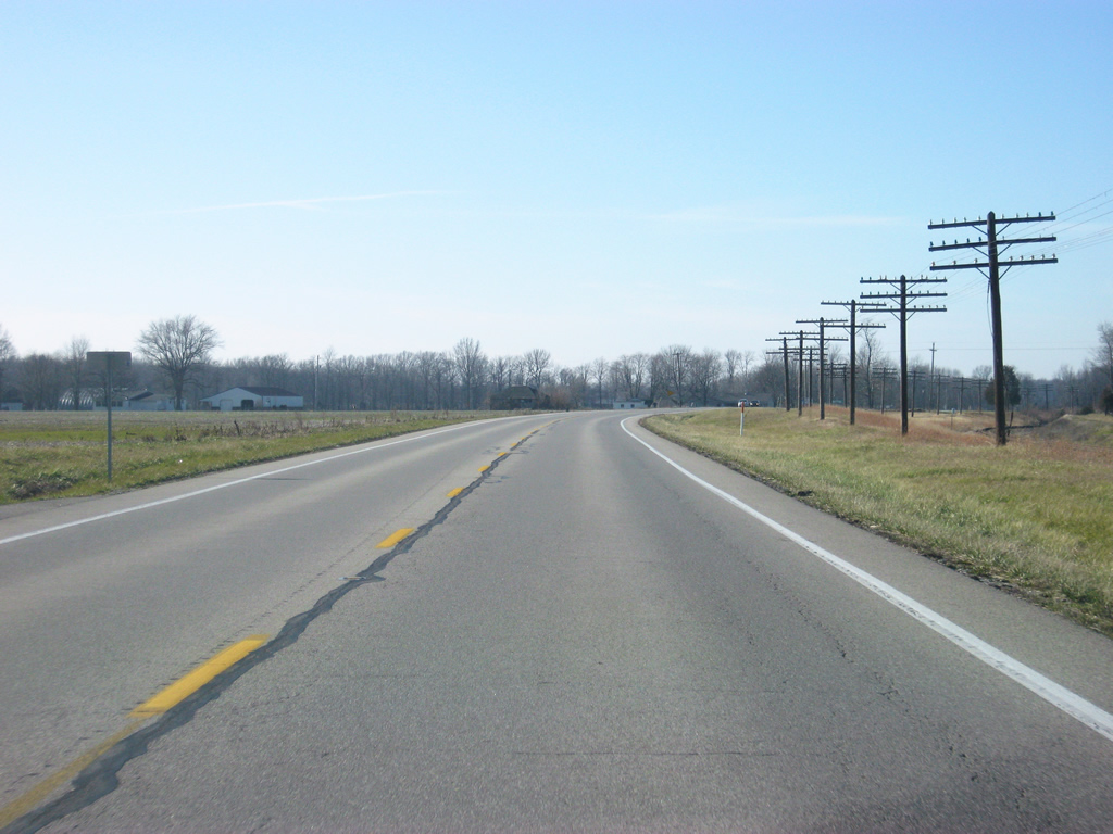
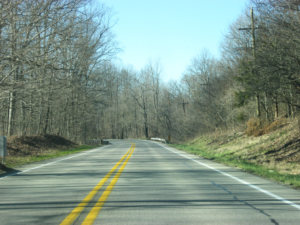
U.S. 50 follows the baseline for Ripley County for the next few miles in between Versailles and Holton.
12/18/11
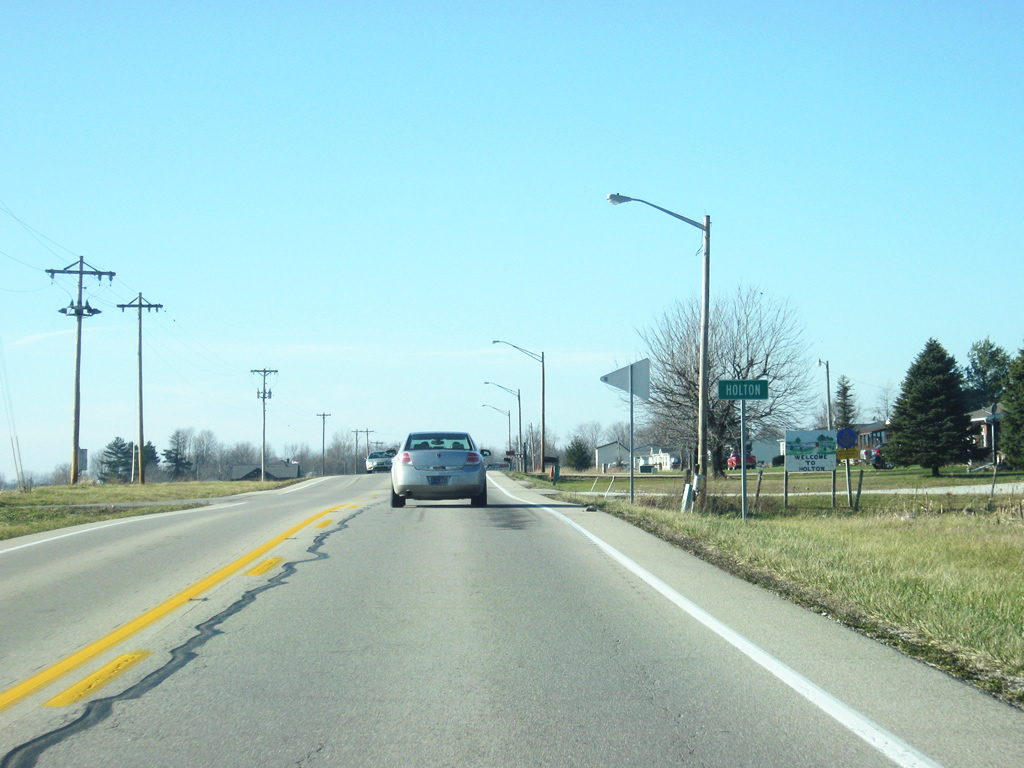
U.S. 50 west enters the small community of Holton.
12/18/11
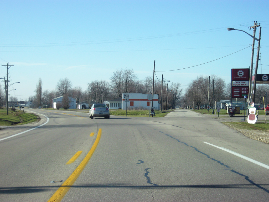
Versailles Street (Old U.S. 50) continues straight into the heart of Holton as the current U.S. 50 heads toward the southwest to bypass the town.
12/18/11
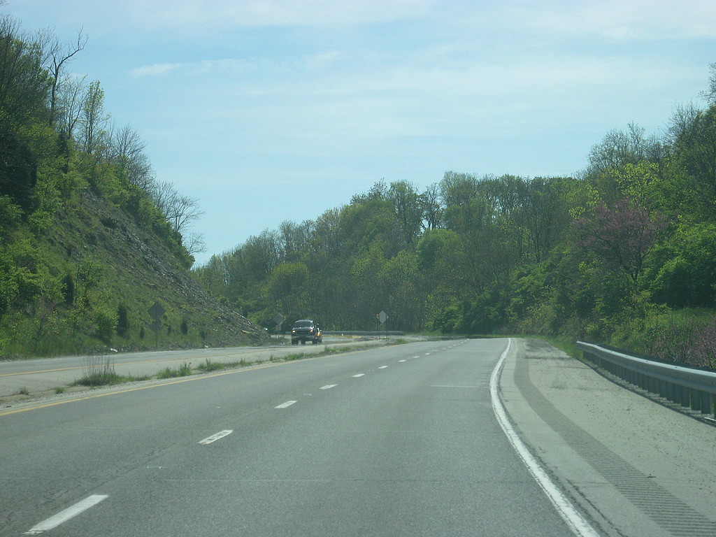
West of Holton, U.S. 50 continues toward the Ripley-Jennings County line. The Big Oaks National Wildlife Refuge, formerly the Jefferson Proving Grounds, lie to the south of the highway.
12/18/11

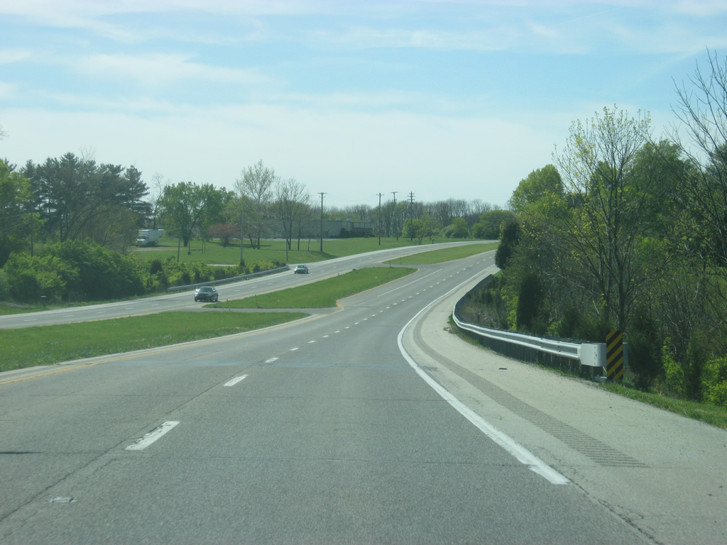
U.S. 50 west enters Jennings County (population 28,525) near the community of Nebraska.
12/18/11

Photo Credits:
- Thomas Decker: 12/18/11, 04/07/12
Connect with:
Page Updated Saturday November 10, 2012.