
U.S. 77 South - Nueces and Kleberg Counties

U.S. 77 travels on a southerly course beyond IH 37 through Nueces and Kleberg counties, bypassing Robstown, Bishop, and Kingsville en route to the Rio Grande Valley region. IH 69E briefly joins U.S. 77 on the freeway portion around Robstown while expressway segments bypass both Bishop and Kingsville to the east. The Los Olmos Creek separates Kleberg and Kenedy counties.

 South
South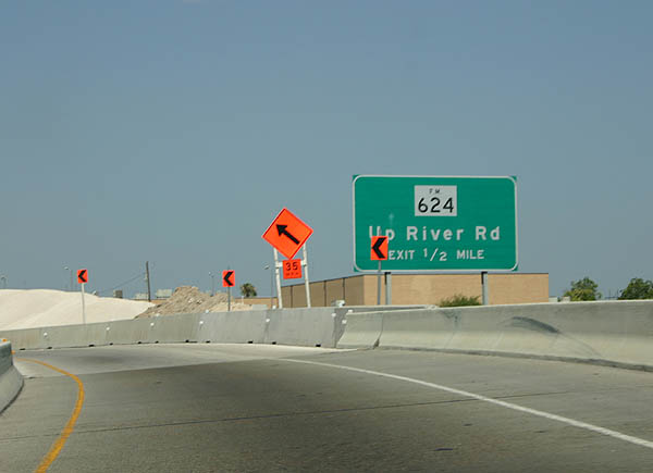
Ground level sign posted one half mile out from FM 624 along U.S. 77 (Ih 69E) south, beyond its split with IH 37 near Calallen. Previous signs referenced Up River Road, which once followed Leopard Street a short distance northeast. Up River Road was severed when IH 37 was constructed in the late 1960s.
07/11/05
Dated scene at the egress point for FM 624 on U.S. 77. Updated guide signs now include Leopard Street and Northwest Boulevard. FM 624 otherwise overlays Northwest Boulevard westward from U.S. 77 (IH 69E) to Bluntzer and Orange Grove.
07/11/05
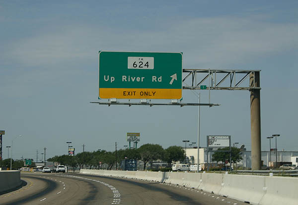
Parting shot of U.S. 77 south from the frontage road to FM 624 west. At the time, the freeway portion of U.S. 77 ended just beyond this interchange. Today the freeway extends an additional six miles to the south side of Robstown, and carries the IH 69E designation.
07/11/05
South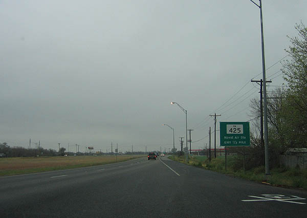
Further south into Kleberg county, U.S. 77 south traveled along the frontage roads through Kingsville prior to the completion of the freeway segment. This scene looks at the 0.5 mile approach to FM 425 southeast to Kingsville Naval Air Station (NAS).
02/19/06
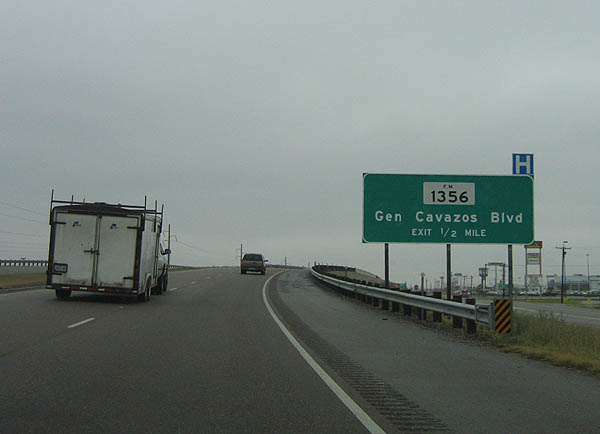
One half mile advance guide sign posted for FM 1356 (General Cavazos Boulevard) as U.S. 77 passes over FM 425 (Carlos Truan Boulevard).
02/19/06
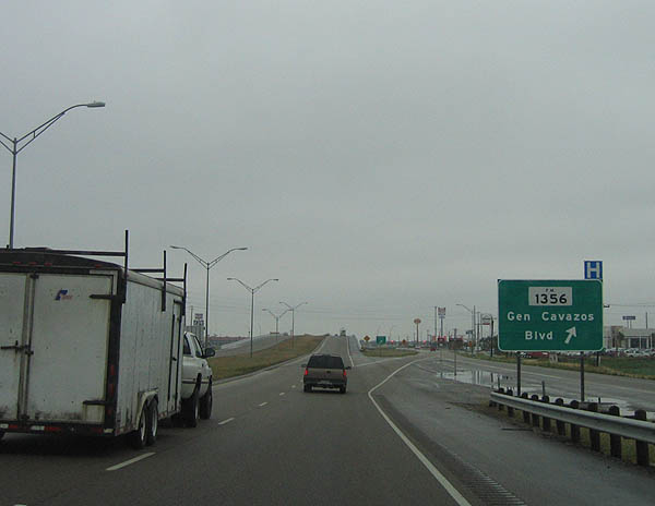
FM 1356 stairsteps west and north 3.01 miles from U.S. 77 across south Kingsville, following General Cavazos Boulevard, Franklin Adams, Caesar Avenue, and Armstrong Street. General Cavazos Boulevard continues a short distance east to the south end of FM 425 at the entrance to Kingsville NAS.
02/19/06
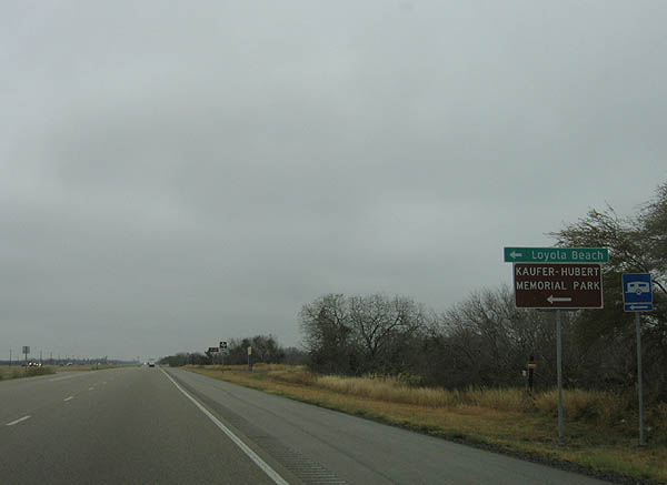
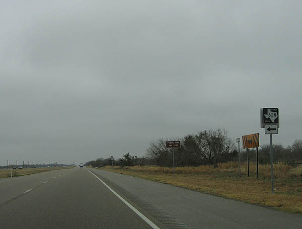
U.S. 77 south on the approach to FM 628 east. FM 628 extends 11.6 miles east and south to both Loyola Beach and Kaufer-Hubert Memorial Park before looping back west to end at FM 1546.
02/19/06
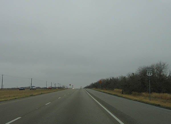
Confirming marker for U.S. 77 south posted after FM 628. The U.S. highway continues 2.9 miles to reach Riviera.
02/19/06
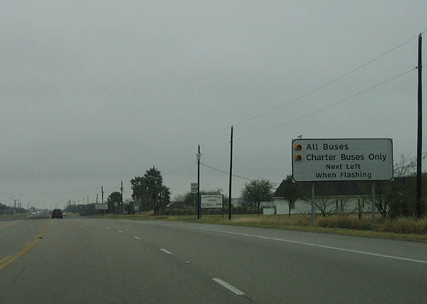
A weigh station and bus checkpoint are situated along U.S. 77 to the south of Riviera.
02/19/06
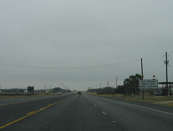
In addition to commercial trucks, buses may be periodically checked when the weigh station is in operation.
02/19/06
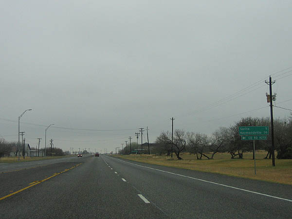
This distance sign stands along U.S. 77 south as the highway passes by the weigh station. Sarita (5 miles) represents the county seat and lone town within neighboring Kenedy County while Raymondville (56 miles) is the county seat for Willacy County. Otherwise, FM 1070 branches north to east Riviera.
02/19/06
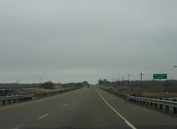
U.S. 77 south as it crosses Los Olmos Creek. The creek flows eastward into Baffin Bay and also forms the boundary between Kleberg and Kenedy counties.
02/19/06
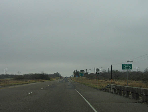
U.S. 77 south formally enters Kenedy County beyond Los Olmos Creek. With less than 500 residents, Kenedy County is one of the least populated counties in Texas and within the United States.
02/19/06
Photo Credits:
- Kevin Trinkle: 07/11/05, 02/19/06
Page Updated Saturday February 03, 2018.