
U.S. 84 East - Alabama to Bainbridge


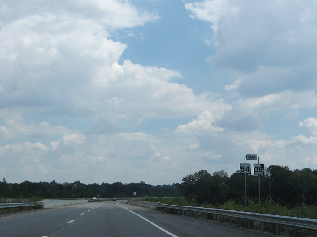
 East
East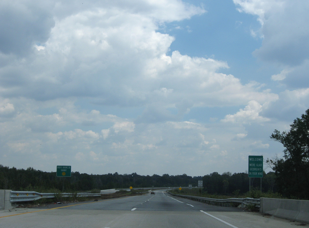
Entering Early County, U.S. 84 is the High D. Broome, Sr. Parkway.
09/28/08
09/28/08
09/28/08
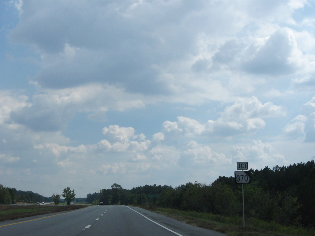
SR 370 stems north from U.S. 84, 12.61 miles to SR 62 east of Columbia, Alabama.
09/28/08
09/28/08
The unincorporated community of Cedar Springs lies 4.7 miles north of U.S. 84 via SR 370 and Cedar Springs Road.
09/28/08
09/28/08
09/28/08
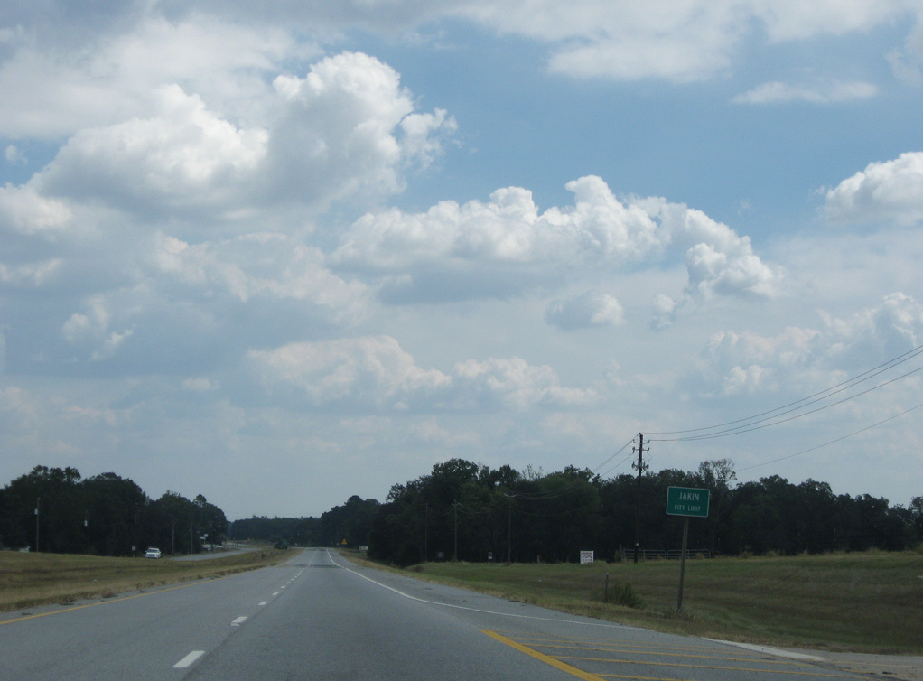
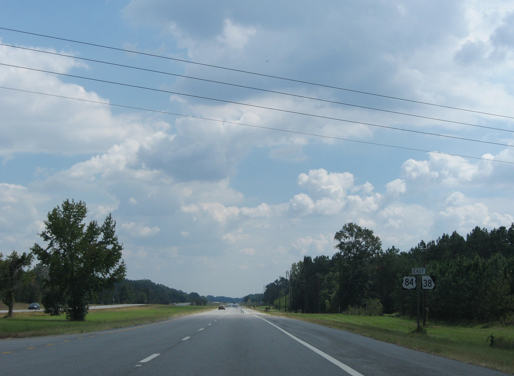
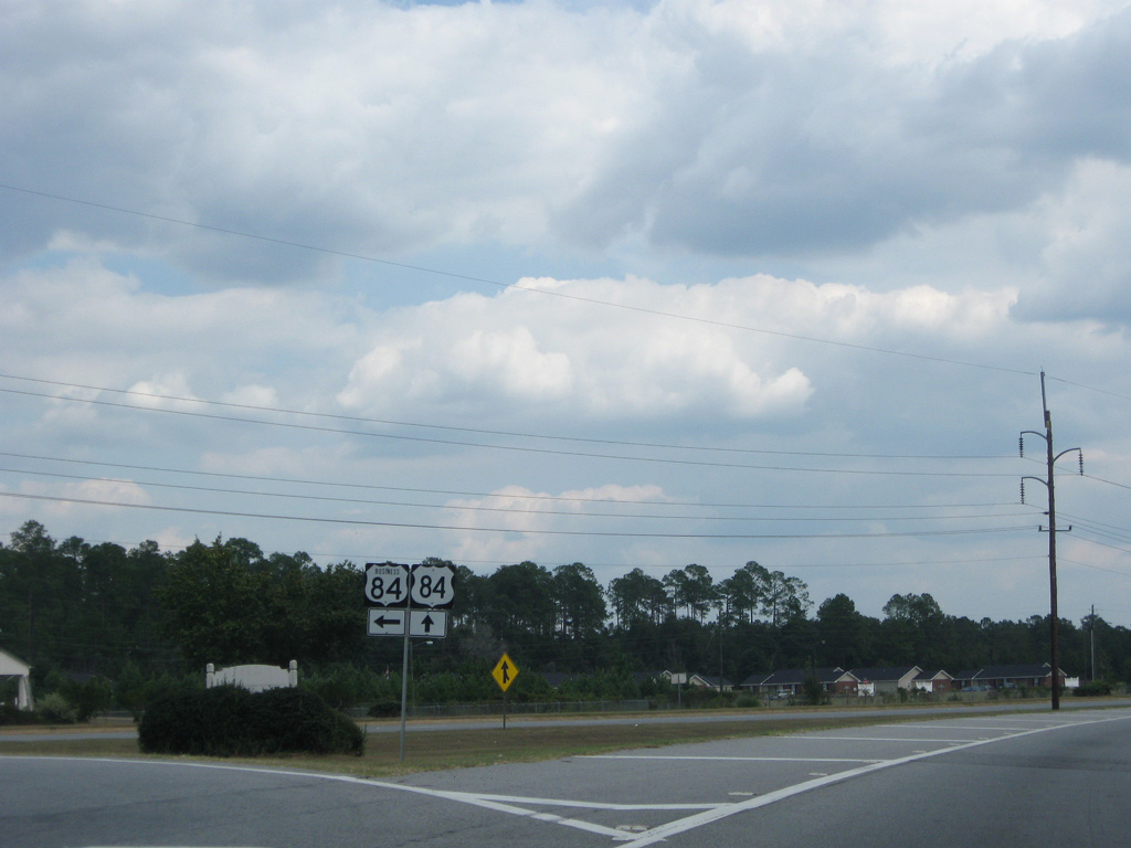
U.S. 84/SR 38 enters the rural city of Jakin in southern Early County.
09/28/08
09/28/08
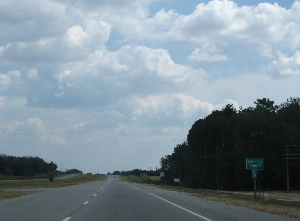
U.S. 84 crosses the Seminole County line 6.86 miles east of the Alabama border.
09/28/08
09/28/08
09/28/08
09/28/08
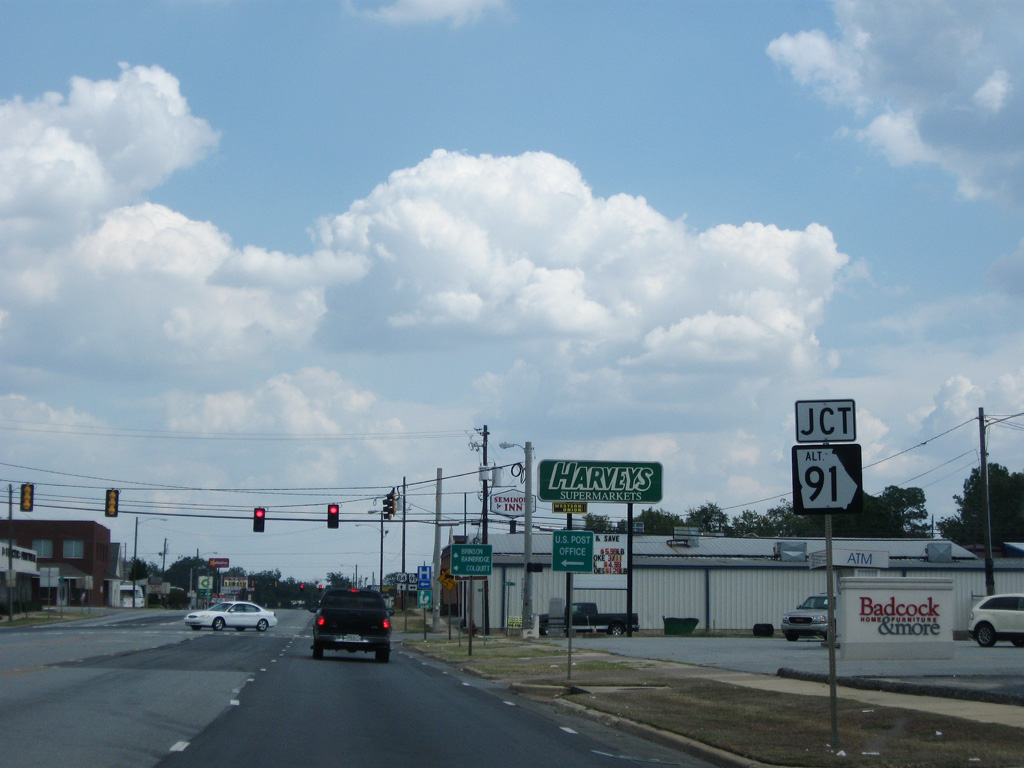
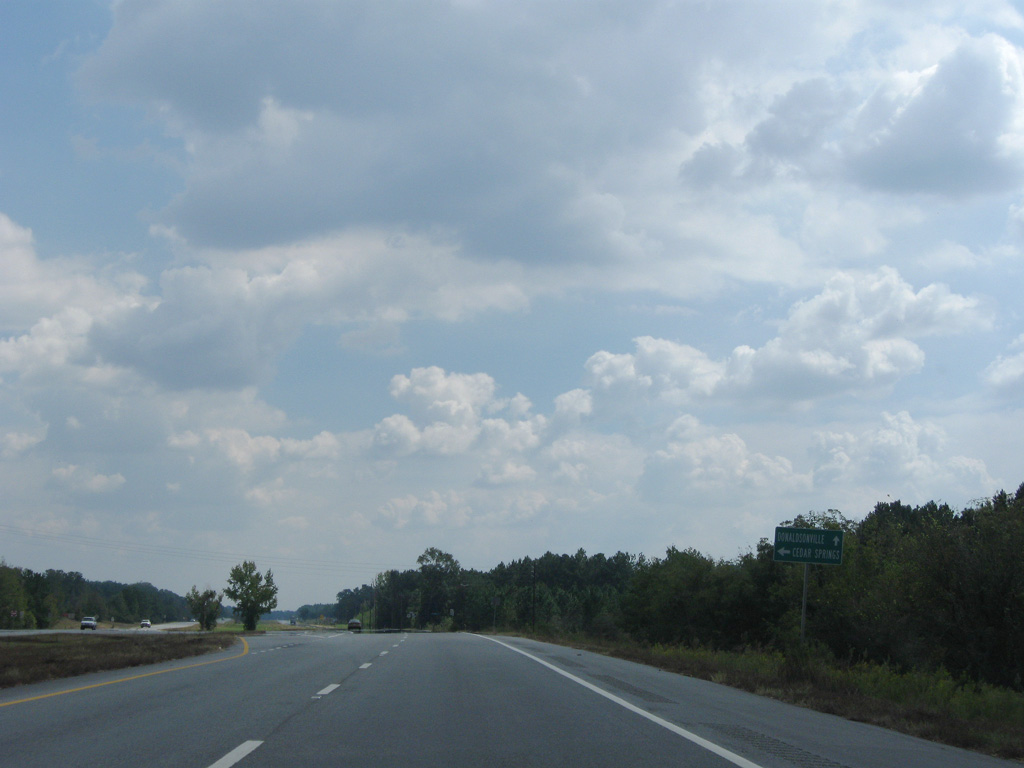
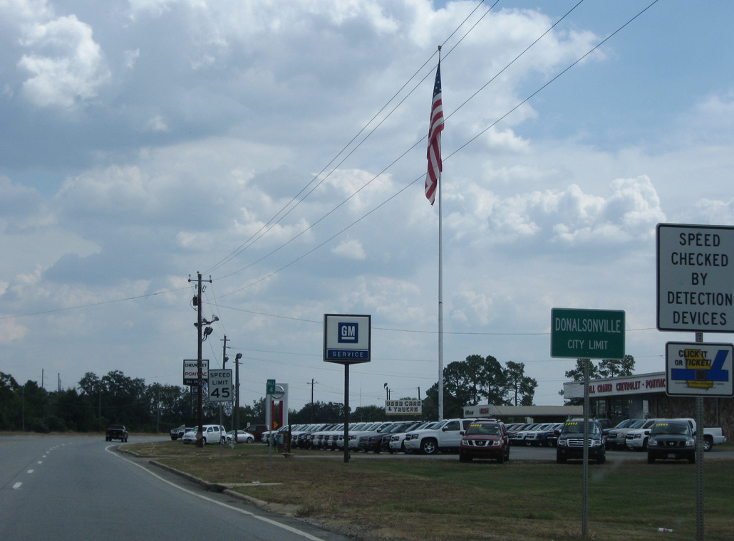
SR 91 Alternate parallels SR 91 two blocks to the west through the city of Donalsonville.
09/28/08
09/28/08
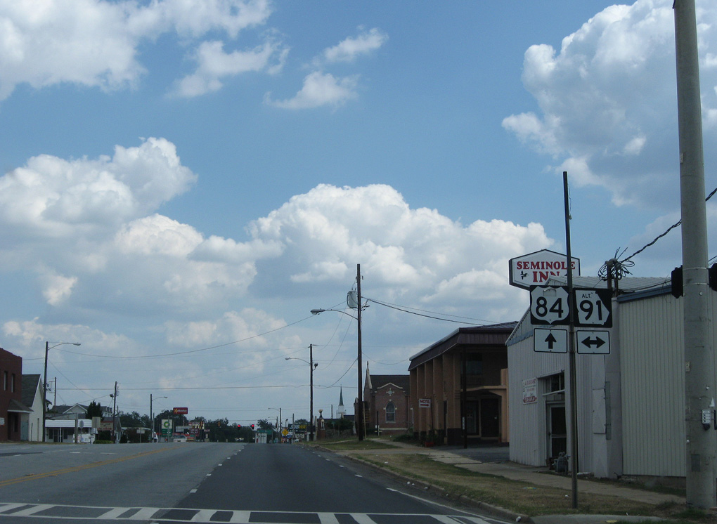
SR 91 Alt follows Wiley Avenue 0.75 miles south to SR 91 along Marianna Highway and 1.10 miles north to SR 91 just beyond the Donalsonville city line.
09/28/08
09/28/08
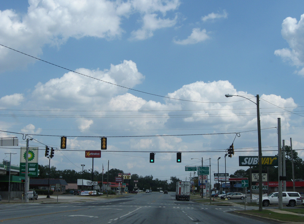
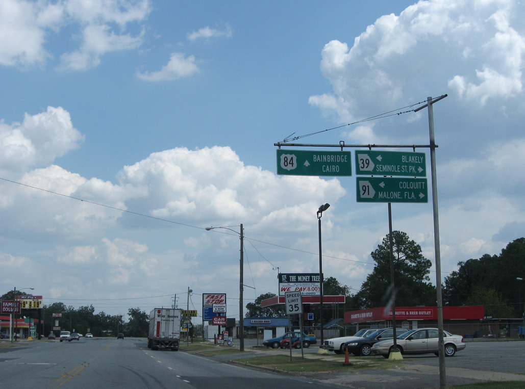
U.S. 84/SR 38 (3rd Street) east at SR 39/91 (Tennille Avenue).
09/28/08
09/28/08
09/28/08
09/28/08
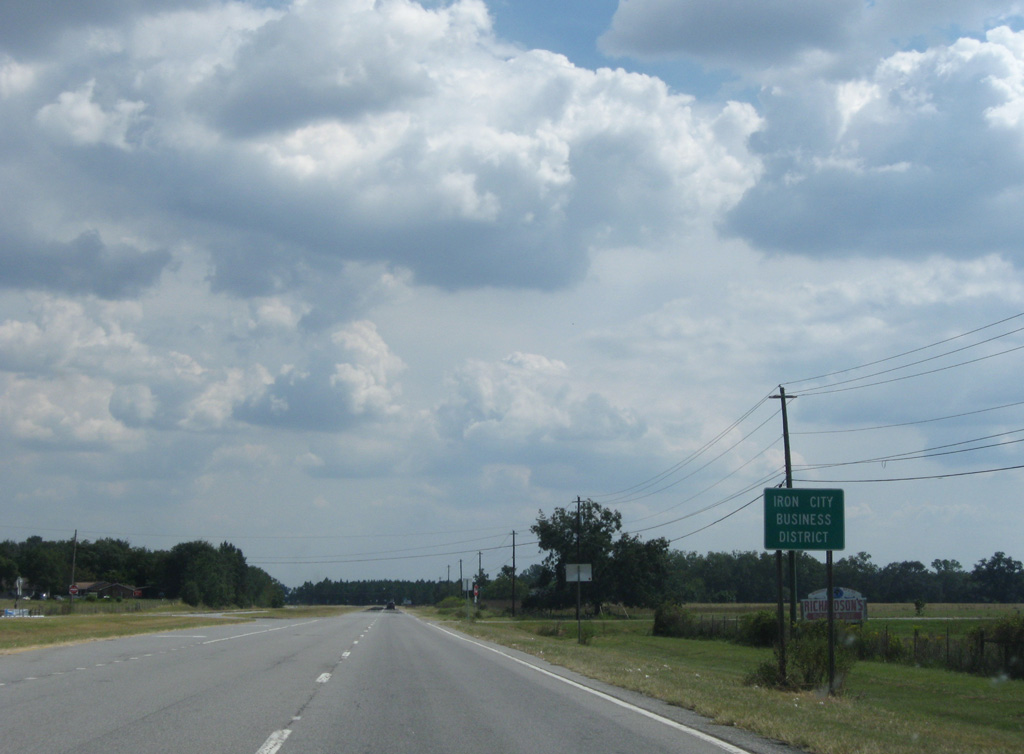
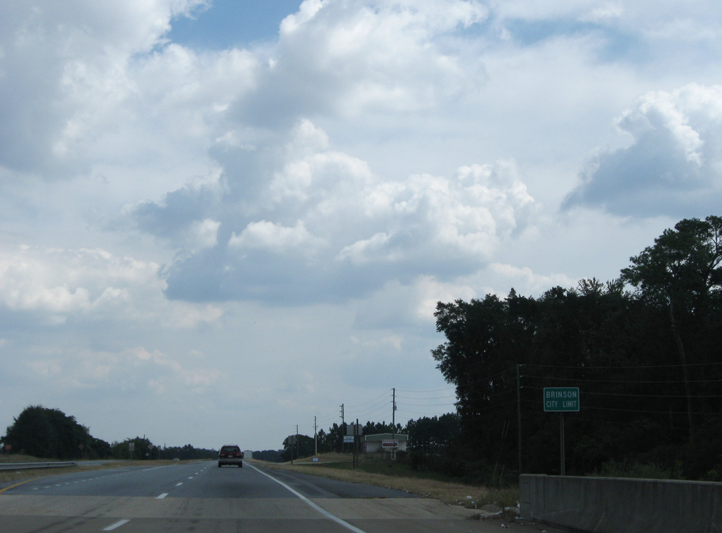
Iron City lies four miles southeast of Donalsonville along U.S. 84, followed by Brinson in nine miles.
09/28/08
09/28/08
U.S. 84/SR 38 resumes as a four lane, divided highway beyond E 7th Street and the Donalsonville city line.
09/28/08
09/28/08
09/28/08

09/28/08
U.S. 84/SR 38 shift southward through the town of Iron City.
09/28/08
09/28/08
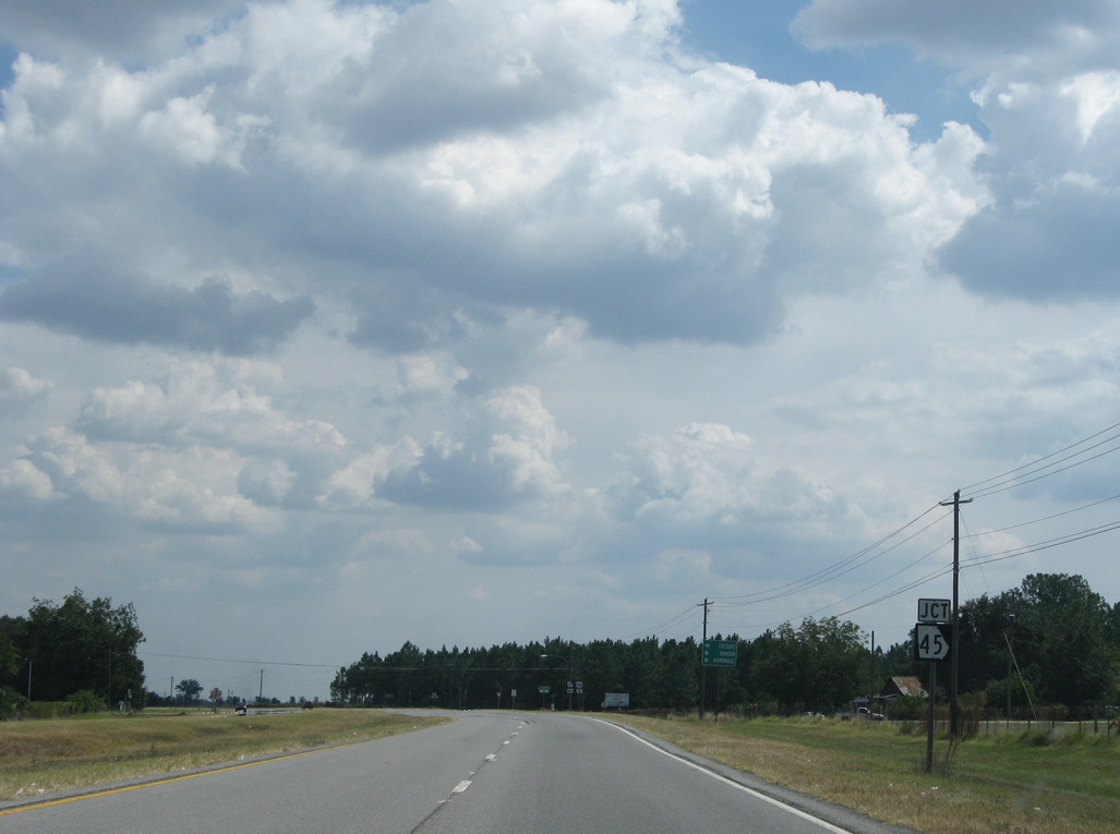
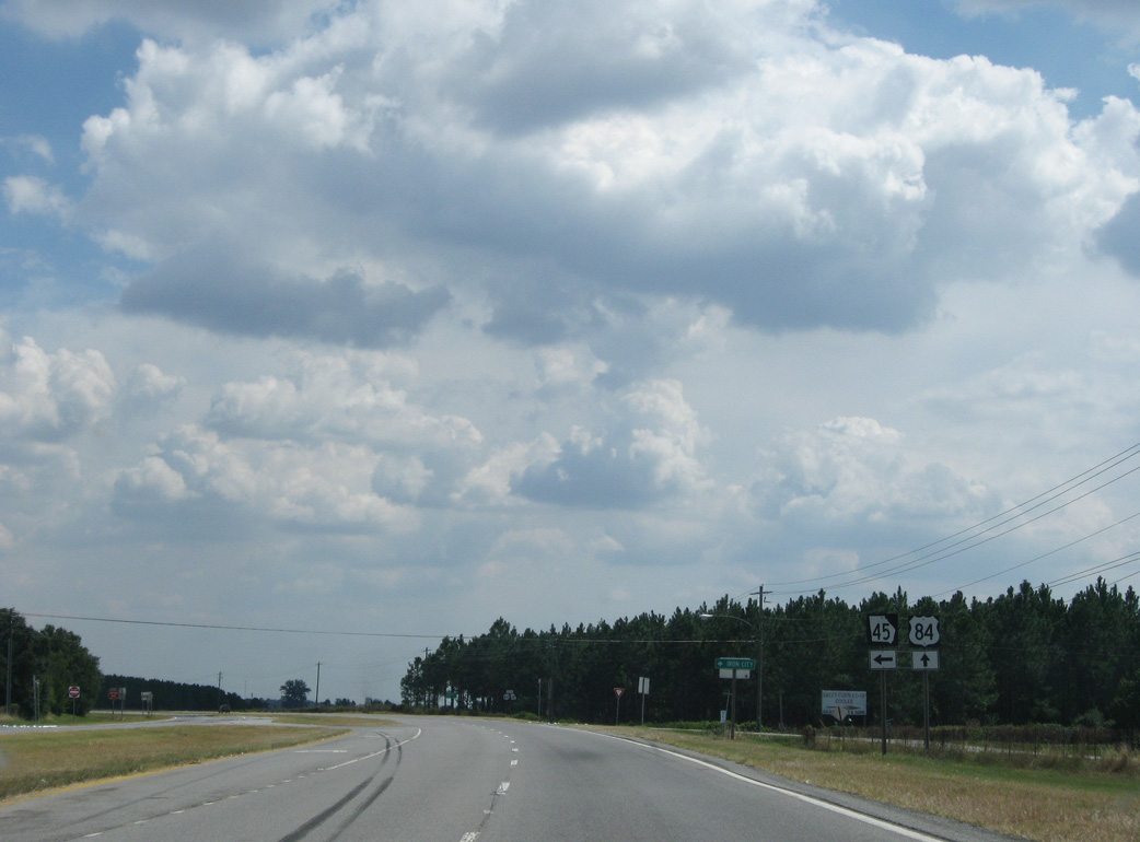
U.S. 84/SR 38 meet the south end of SR 45 at Church Street in Iron City.
09/28/08
09/28/08
09/28/08
09/28/08
09/28/08
09/28/08
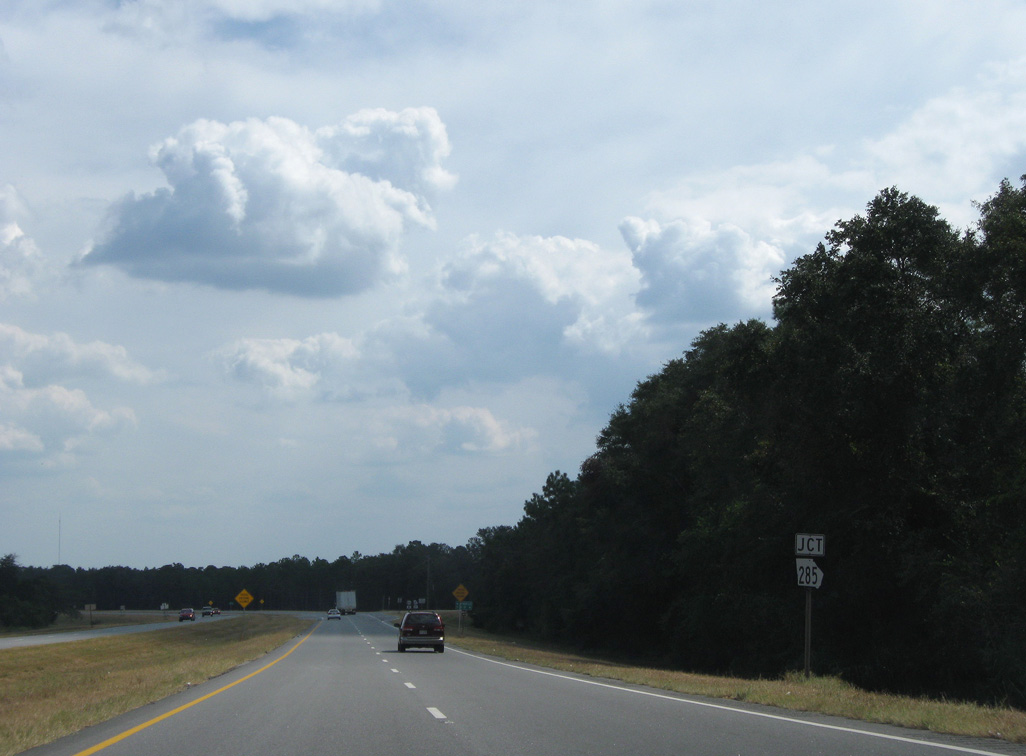
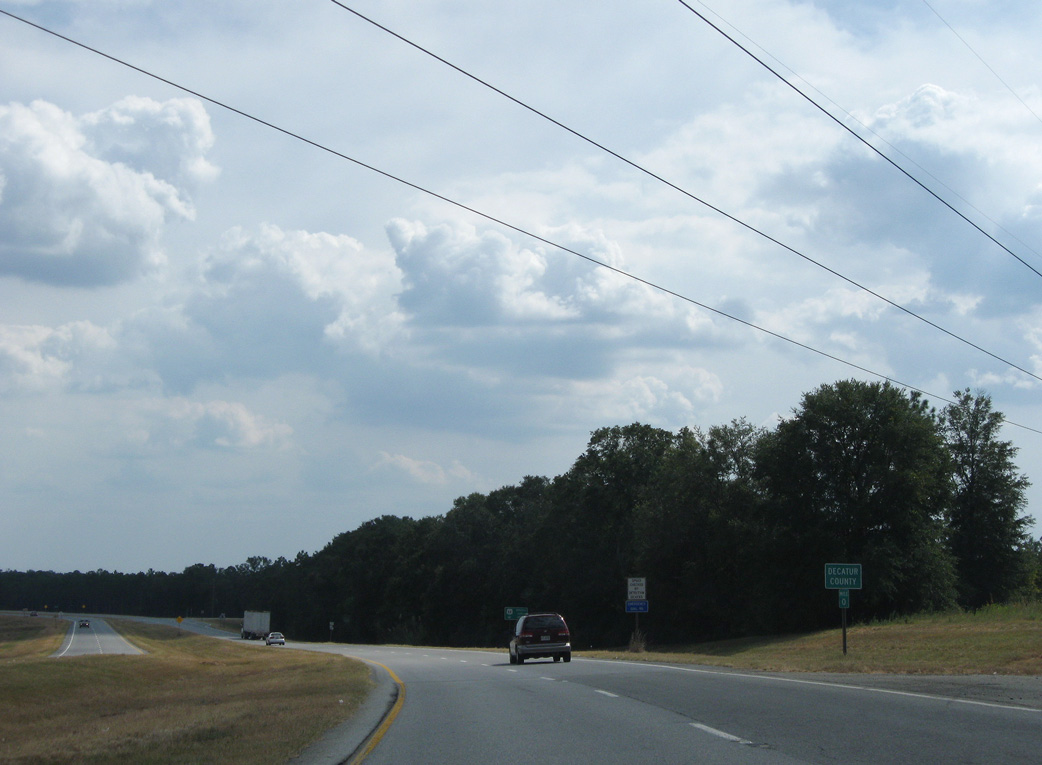
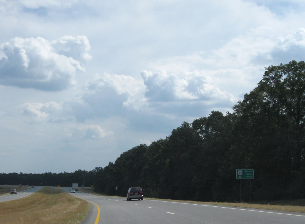
U.S. 84/SR 38 converge with the east end of SR 285 just into Decatur County.
09/28/08
09/28/08
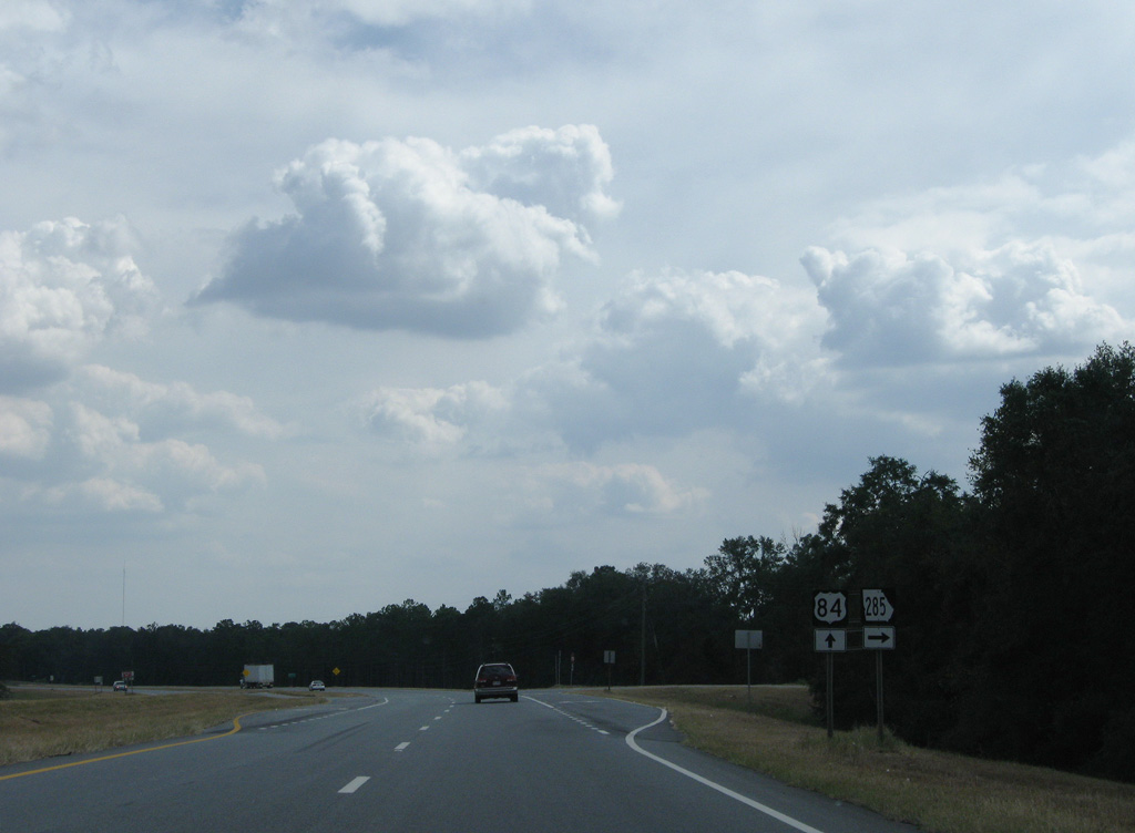
State Route 285 (Bartow-Gibson Highway) leads 13.97 miles west to SR 91 north of Steam Mill.
09/28/08
09/28/08
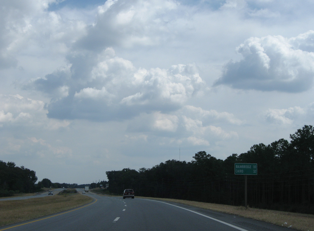
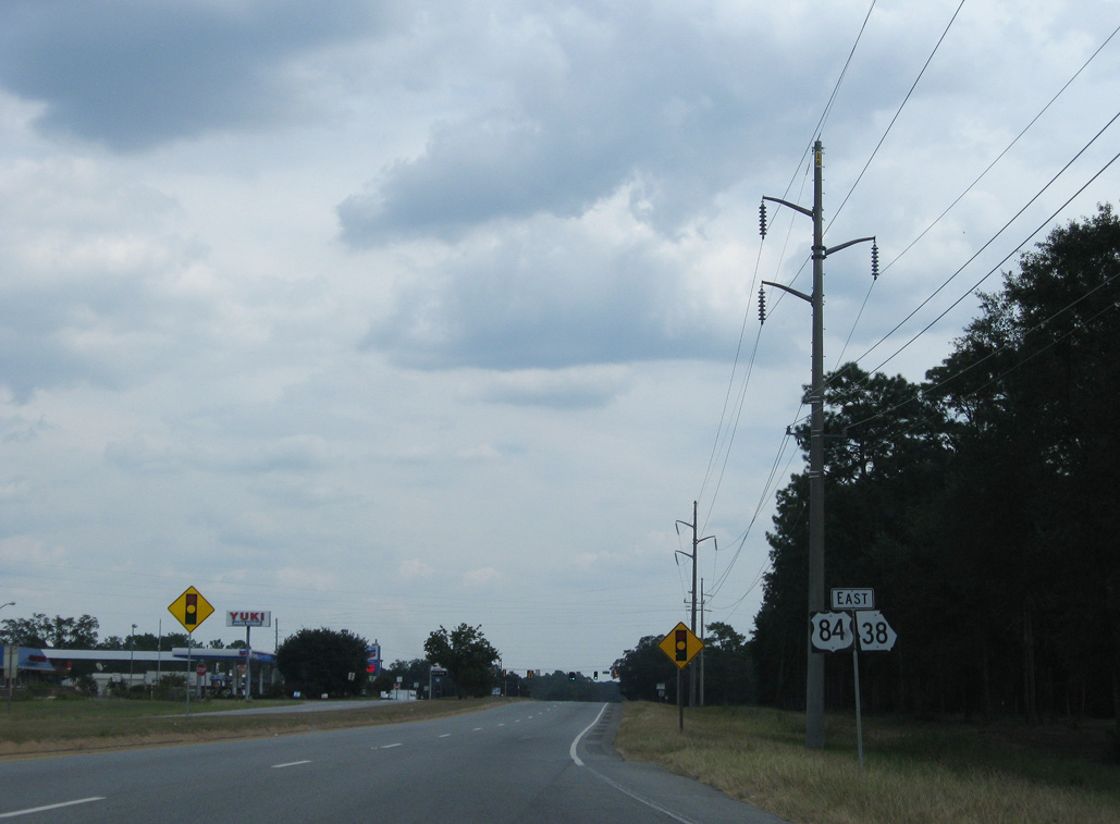
U.S. 84/SR 38 proceed ten miles east from SR 285 to the city of Bainbridge.
09/28/08
09/28/08
09/28/08
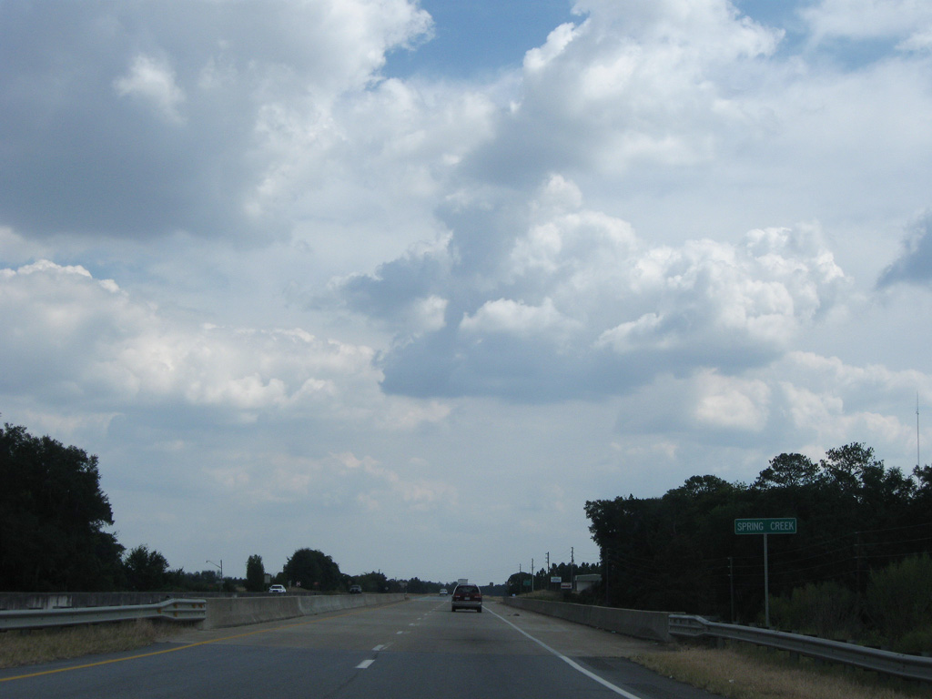
U.S. 84/SR 38 enter the town of Brinson at Spring Creek.
09/28/08
09/28/08
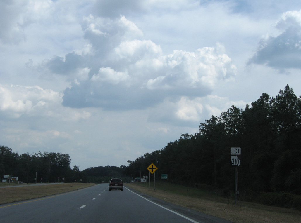
SR 310 travels south along Hodges Street across Brinson to U.S. 84/SR 38.
09/28/08
09/28/08
State Route 310 goes 21.71 miles north from SR 253 near Bethany to U.S. 27 at Colquitt.
09/28/08
09/28/08
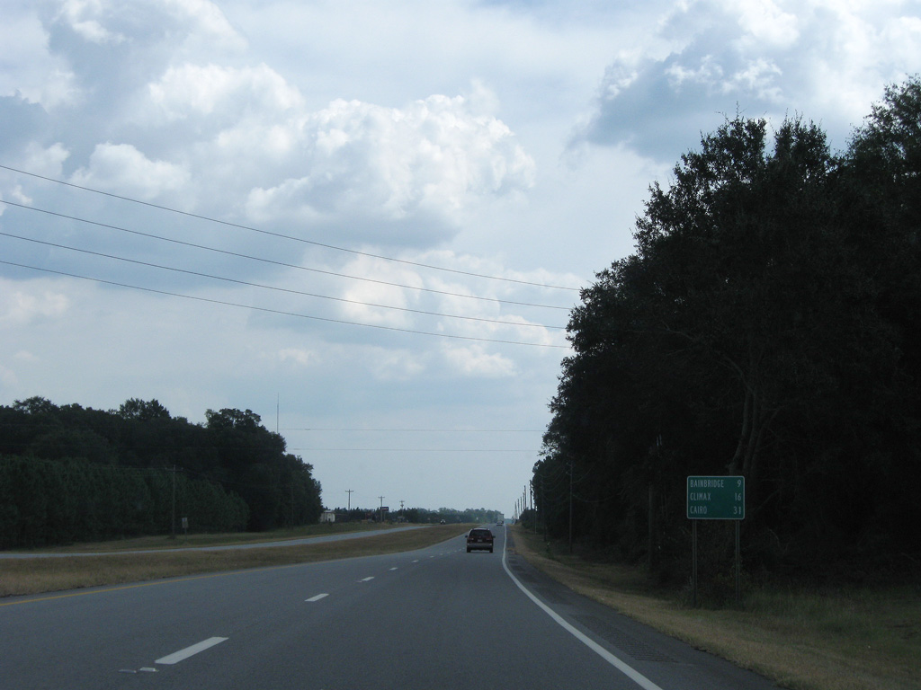
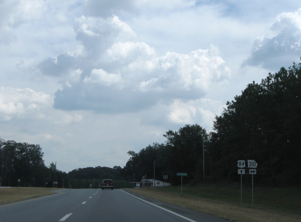
Continuing east from SR 310, U.S. 84/SR 38 reach Bainbridge in nine miles and Cairo in 31 miles.
09/28/08
09/28/08
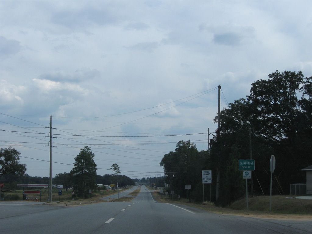
Entering the city of Bainbridge along U.S. 84/SR 38 eastbound. Incorporated on December 22, 1829, Bainbridge was named for the commander of the U.S. Constitution, "Old Ironsides" Commodore William Bainbridge.1
09/28/08
09/28/08
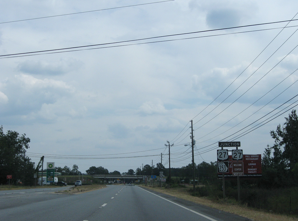
Advancing east, U.S. 84 meets SR 253 Spur (Airport Road) south, U.S. 27 Business (Dothan Road) south and U.S. 27 north.
09/28/08
09/28/08
Combining with U.S. 27, U.S. 84 turns south along a freeway bypassing Downtown Bainbridge.
09/28/08
09/28/08
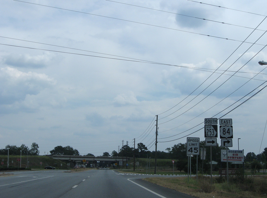
SR 253 Spur connects U.S. 84 with SR 253 (Spring Creek Road) 1.05 miles to the south.
09/28/08
09/28/08
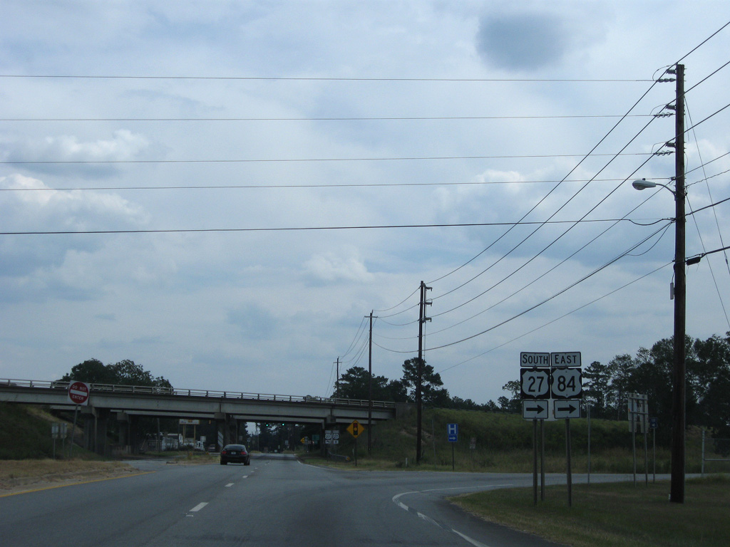
U.S. 84/SR 38 join U.S. 27/SR 1 south at a diamond interchange. RIRO ramps previously linked southbound U.S. 27 with U.S. 84 via Airport Road (SR 253 Spur).
09/28/08
09/28/08
East 
 South
South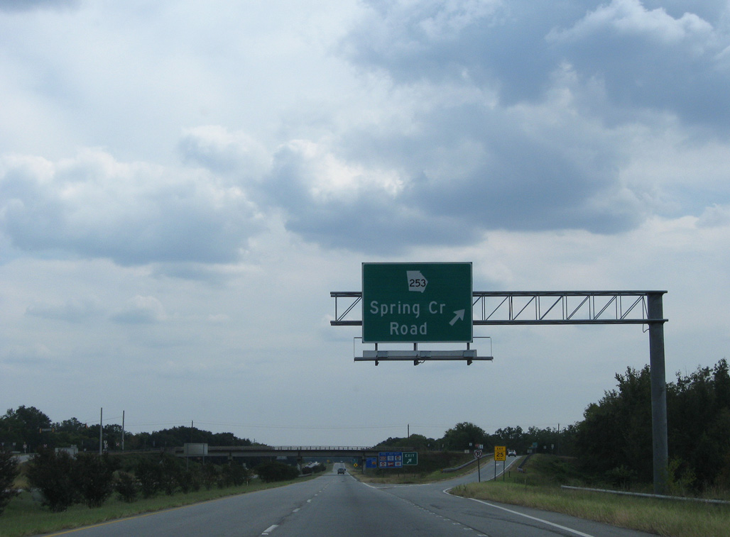
U.S. 27/84 head southeast from Dothan Road to a diamond interchange with SR 253 (Spring Creek Road). SR 253 measures 43.33 miles from Butlers Ferry Landing off Lake Seminole to SR 91 southwest of Newton.
09/28/08
09/28/08
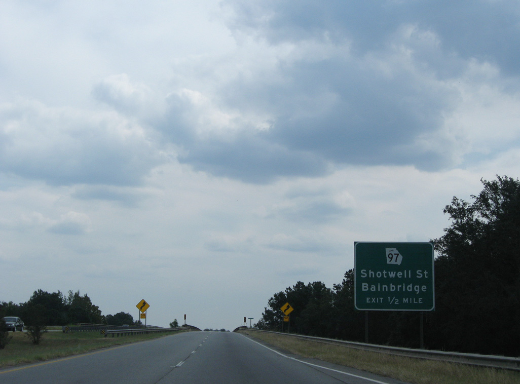
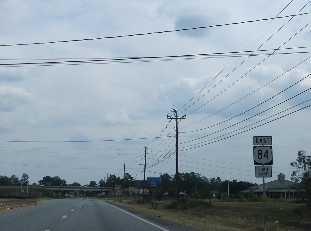
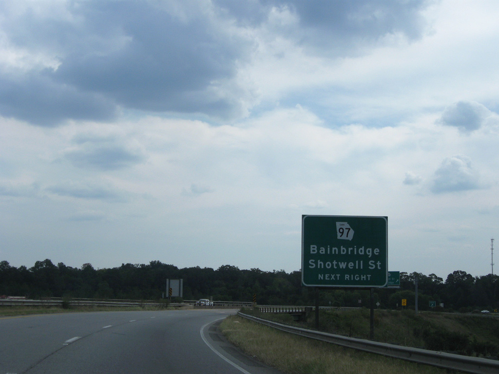
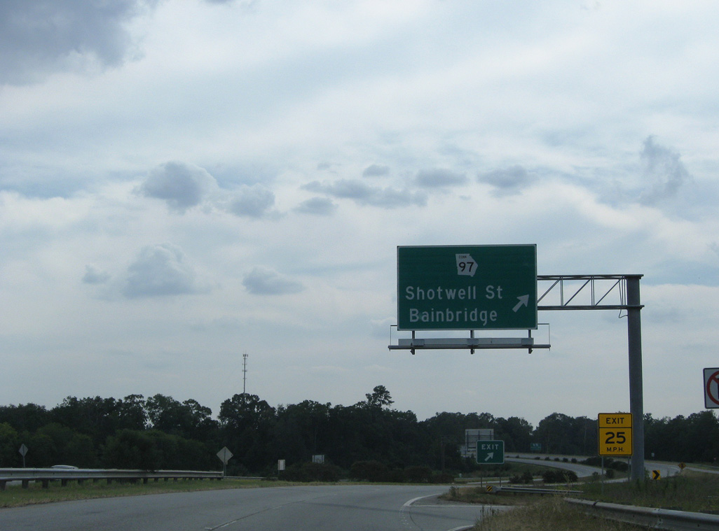
U.S. 84-SR 38 Business branch eastward from U.S. 27/84 at the succeeding exit for Shotwell Street east and Old Quincy Road (former SR 97 Connector) south.
09/28/08
09/28/08
U.S. 27/84 span the Flint River across a pair of 1959-built bridges.
09/28/08
09/28/08
Decommissioned by 2016, SR 97 Connector (Old Quincy Road) provided a cutoff from U.S. 27/84 to SR 97 (Faceville Road) south.
09/28/08
09/28/08
A 3.00 mile long route through Downtown along Shotwell Street, U.S. 84-SR 38 Business were added in place of SR 97 Conn on guide signs by 2016.
09/28/08
09/28/08
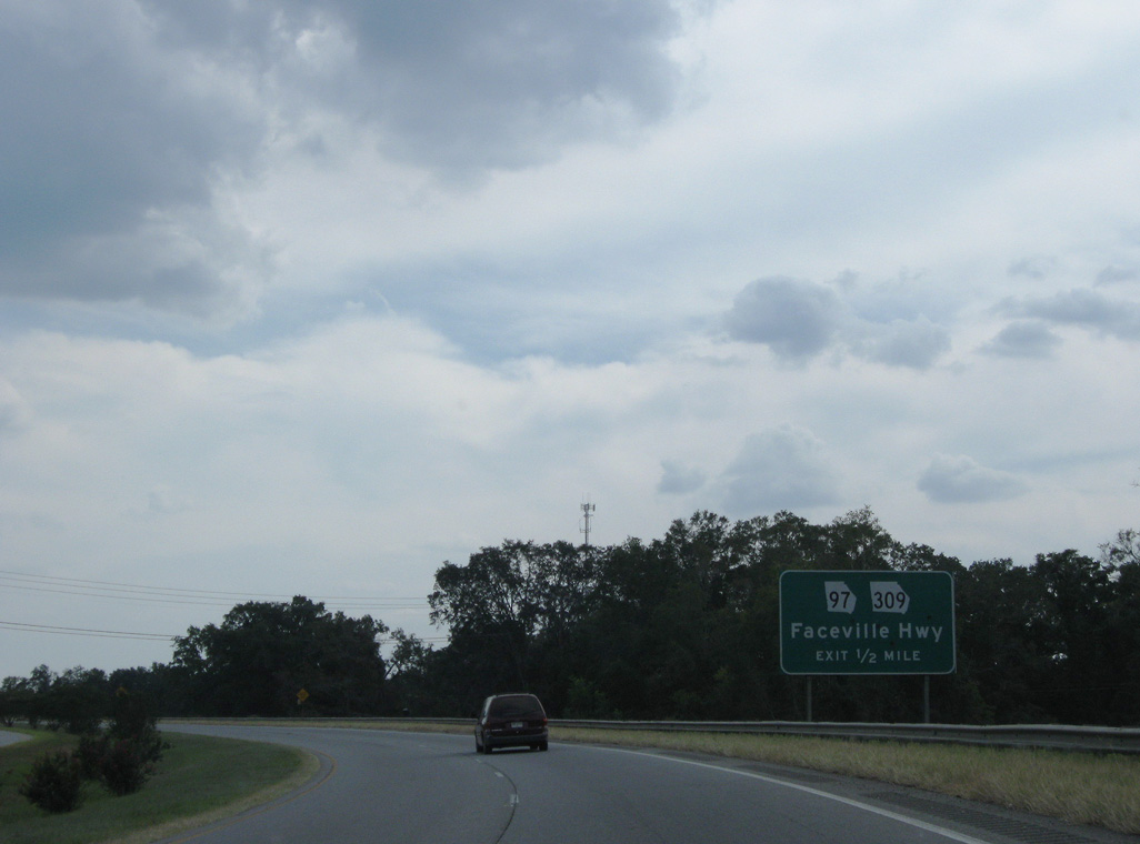
Curve southeast across CSX and Georgia Southwestern Railroad lines, U.S. 27/84 next meet SR 97 (Faceville Highway) and SR 309 (West Street) at a split diamond interchange.
09/28/08
09/28/08
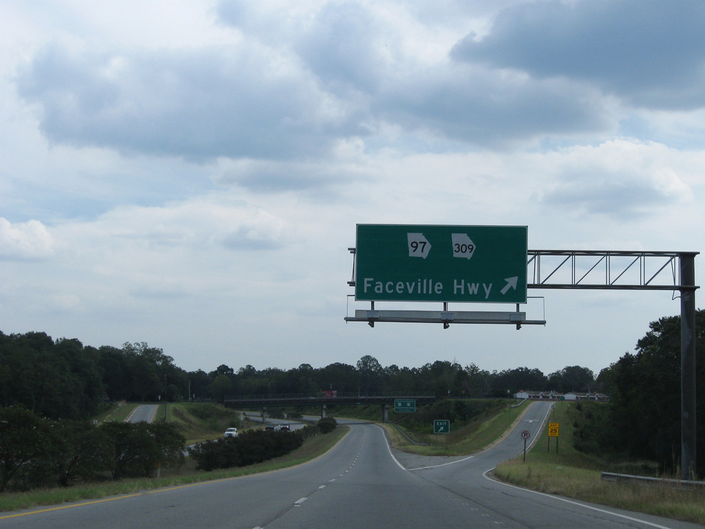
SR 97 travels 21 miles southwest to the Florida state line (CR 269A) near Chattahoochee. SR 309 stems south 14.56 miles to Fowlstown and the state line (CR 159). Prior to 2020, SR 97/309 overlapped north along West Street to Downtown Bainbridge.
09/28/08
09/28/08
SR 97 spans U.S. 27/84 east to West Street before turning south to join the freeway ahead of the diamond interchange with U.S. 27-SR 1 Business north.
09/28/08
09/28/08
East South  North
North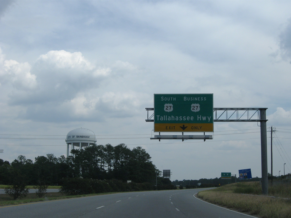
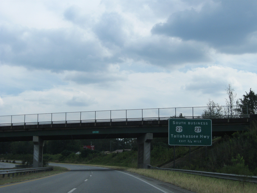
U.S. 27/SR 1 resume a southward heading from the Bainbridge bypass along Tallahassee Highway 18.61 miles to Attapulgus and the Florida state line north of Havana.
09/28/08
09/28/08
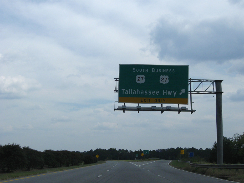
U.S. 27/SR 1 part ways with U.S. 84/SR 38-97 where U.S. 27-SR 1 Business ties in from Scott Street in Bainbridge to the north.
09/28/08
09/28/08
East North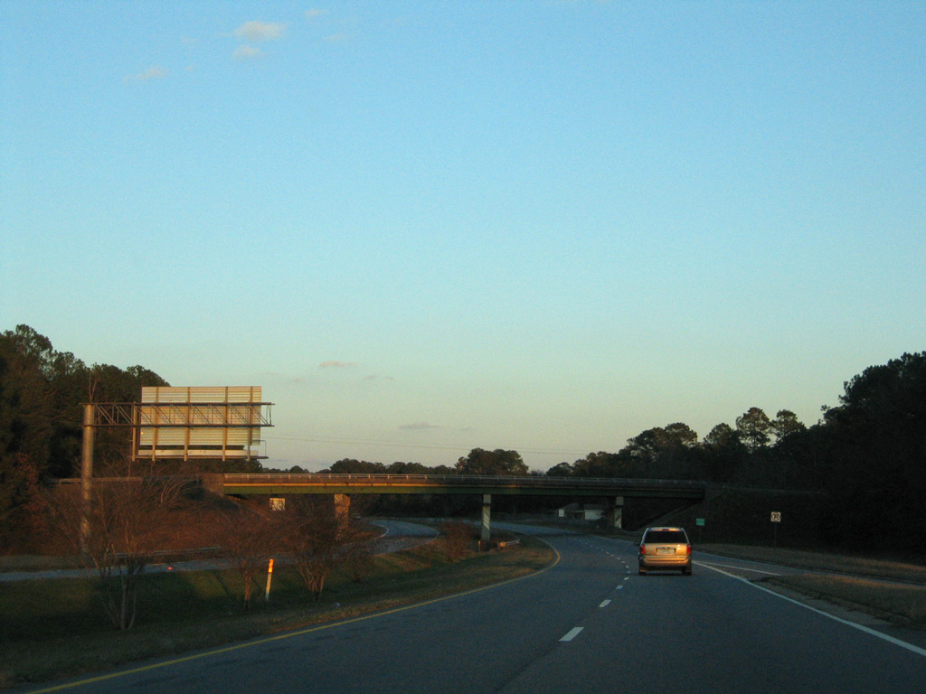
Lake Douglas Road crosses over U.S. 84/SR 38-97 just east of the diamond interchange with U.S. 27 (Tallahassee Highway).
02/12/06
02/12/06
Completed by June 30, 2020, a $3.2 million project reconfigures the end of the Bainbridge Bypass to directly transition onto Thomasville Road east at Shotwell Street. The split ramps at Shotwell Street were consolidated and a new signalized intersection constructed with U.S. 84BU/SR 1BU.2
02/12/06
02/12/06

Traffic formerly split into a single lane ramp taking U.S. 84/SR 38 east onto Thomasville Road and a short ramp to a stop sign for U.S. 84BU/SR 1BU (Shotwell Street) west.
09/28/08
09/28/08
09/28/08
U.S. 84/SR 38 and SR 97 pass just north of Twin Lakes ahead of their split at Whigham Dairy Road.
09/28/08
09/28/08
SR 97 lines Whigham Dairy Road 1.7 miles north to its original alignment with SR 309 along Vada Road. The state route joins Bainbridge with Camilla.
09/28/08
09/28/08
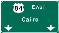
Photo Credits:
- ABRoads: 09/28/08
- Alex Nitzman: 02/12/06
Connect with:
Page Updated Wednesday March 16, 2022.