
U.S. 90/98 Battleship Parkway - East


U.S. 90/98 (Battleship Parkway) span the Tensaw River, which represents the county line south of Polecat Bay.
06/06/06
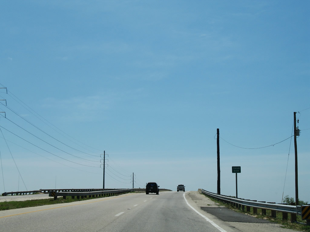
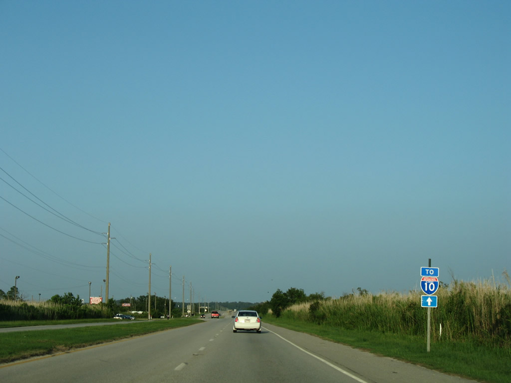
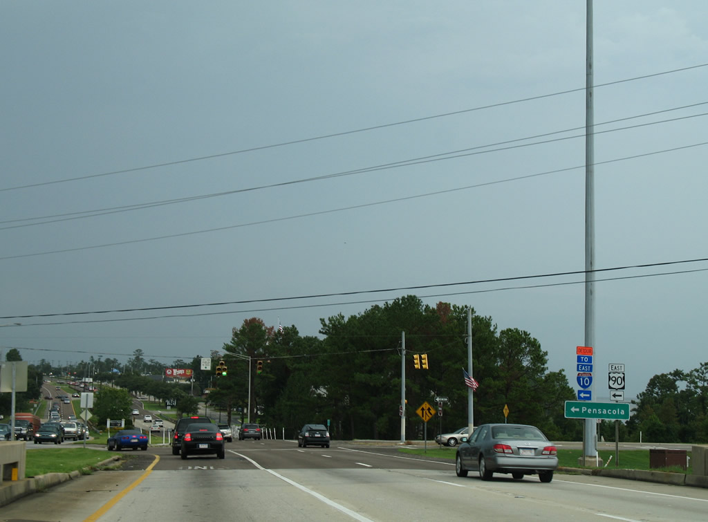
Traveling just above sea level, U.S. 90/98 east approaches a diamond interchange (Exit 30) with Interstate 10.
09/10/00
Storm surge from Hurricane Katrina in 2005 damaged the eastbound entrance ramp for Interstate 10 at Exit 30. Subsequent repair work to replace the toppled bridge slabs lasted a year.
04/09/09
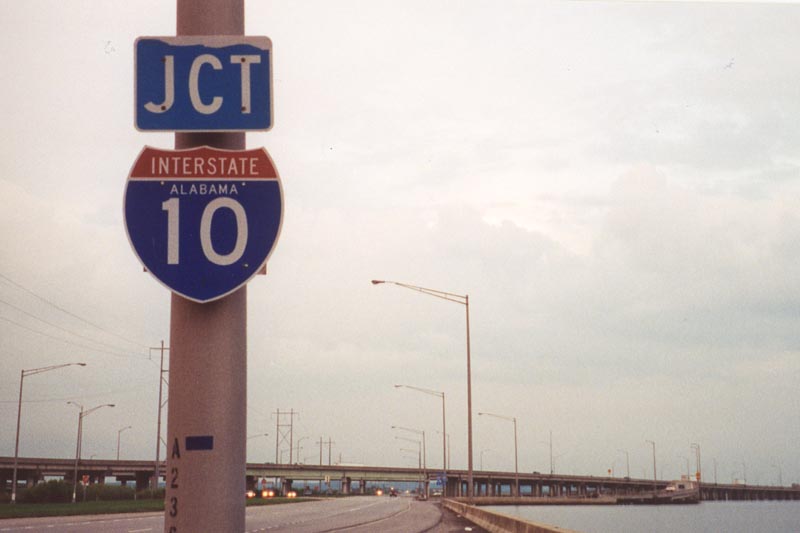
Interstate 10 and U.S. 90/98 both continue five miles east to Spanish Fort and Daphne. Overhead lighting is used along the eight mile twin viaduct, but not along the causeway.
04/09/09
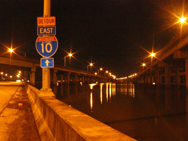
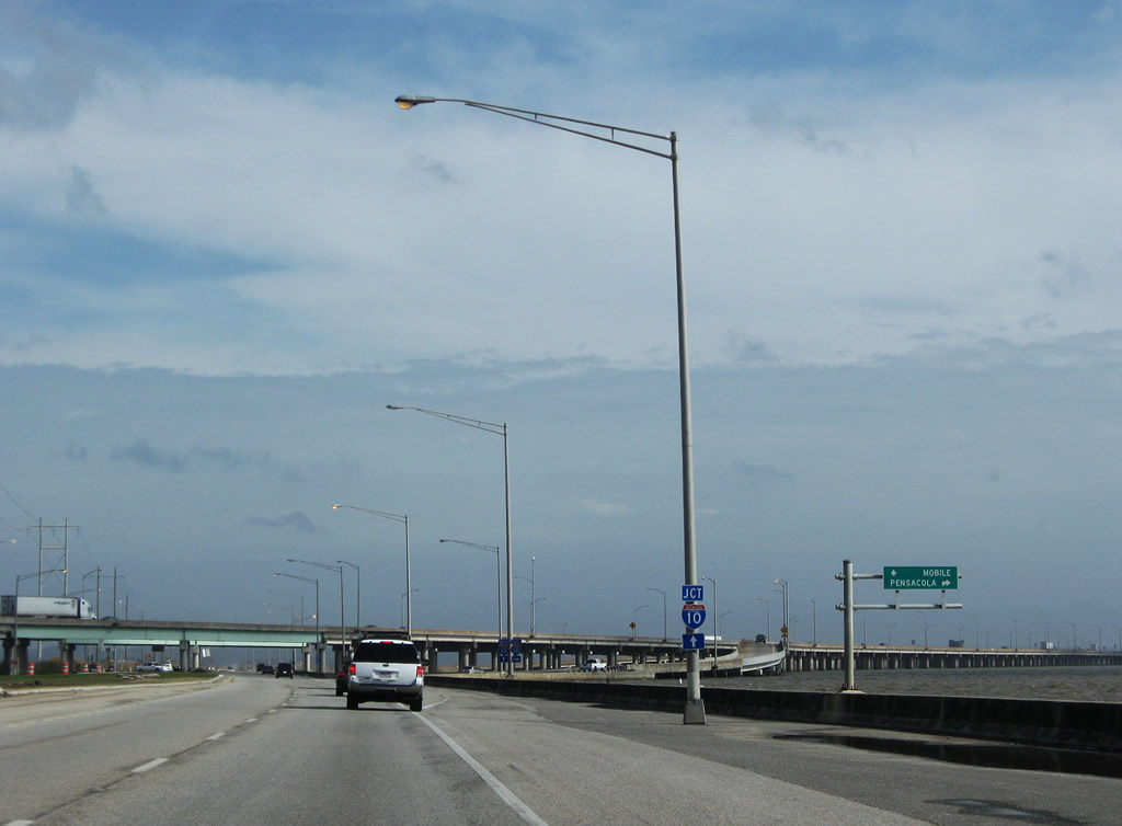
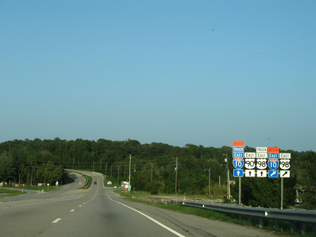
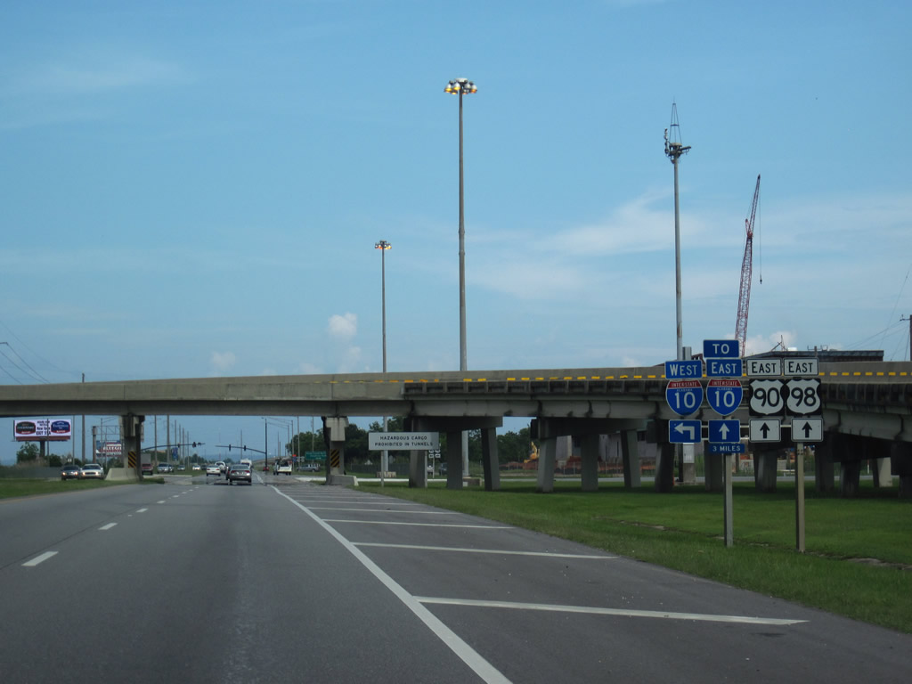
Detour Interstate 10 shields accompany U.S. 90/98 eastward to Spanish Fort. The detour overlays U.S. 90 east from I-165 across the Cochrane-Africatown Bridge to Exit 35 in Daphne.
08/21/03
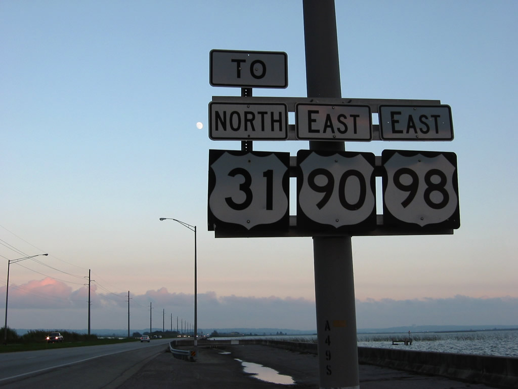
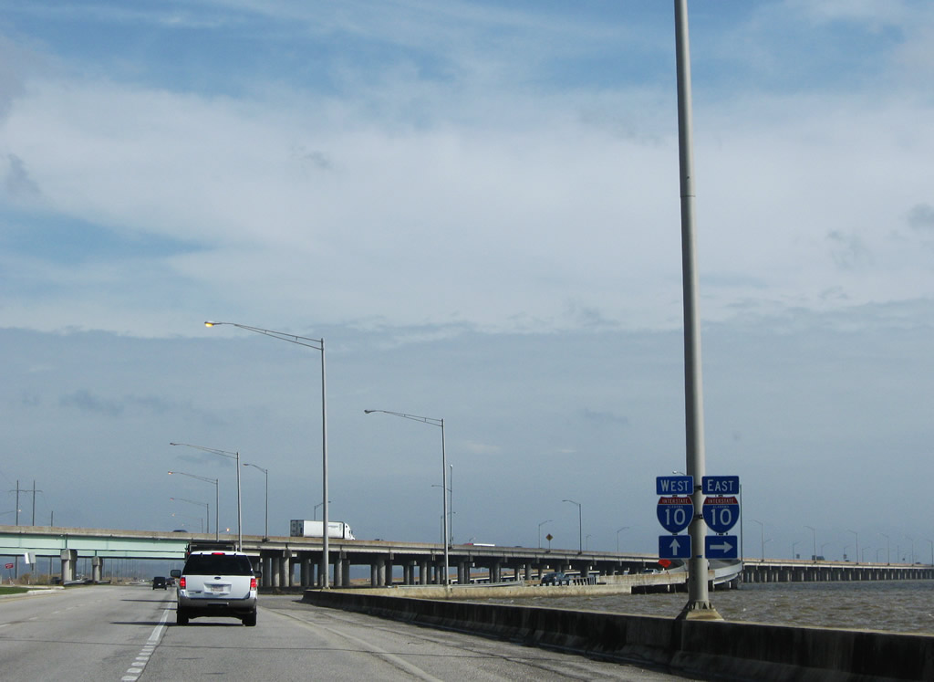
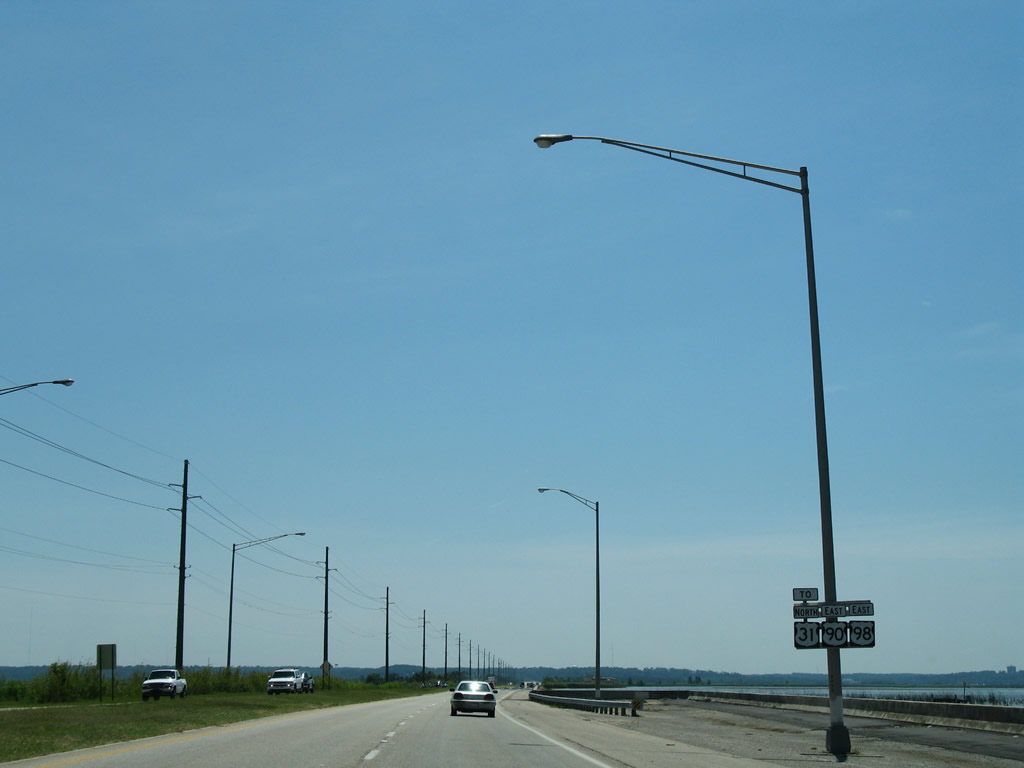
U.S. 90/98 continue east along the causeway for another five miles before parting briefly along the bluff line in Spanish Fort. U.S. 31 begins in 4.4 miles at the southward turn of U.S. 90 at Bridgehead.
11/05/03
06/06/06
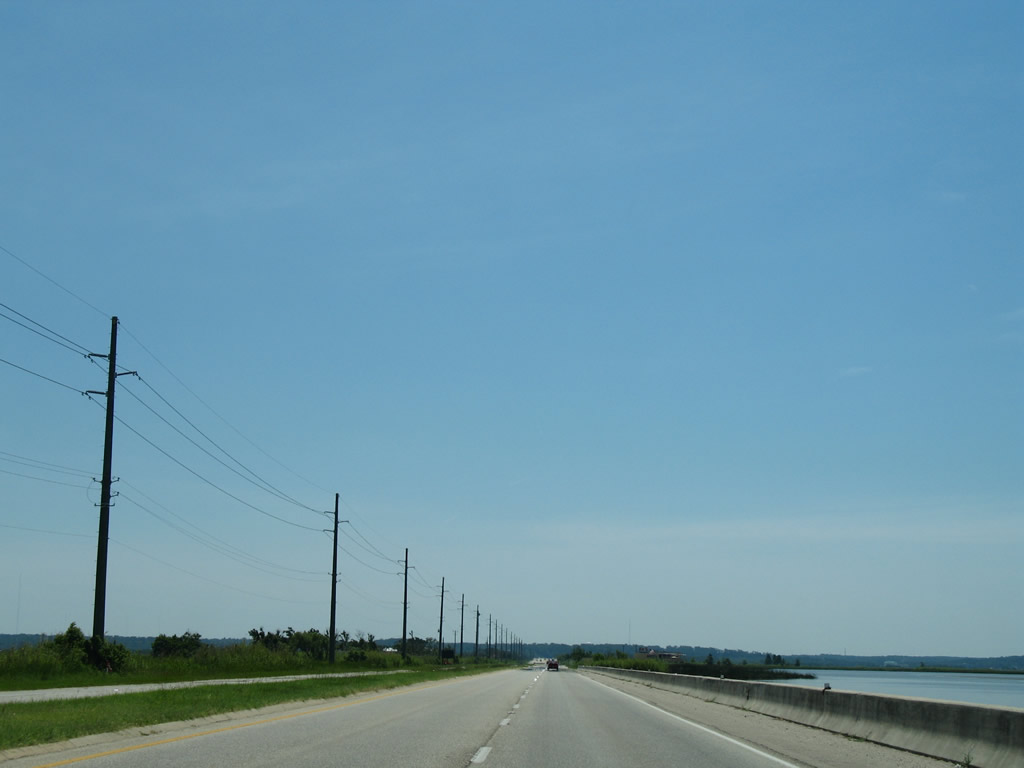
U.S. 90/98 straddle Mobile Bay to the south and Chacaloochee Bay to the north. Boat launch ramps and parking areas are located along the causeway.
06/06/06
Interstate 10 trailblazer posted on the island south of Pass Picada and west of Apalachee River.
07/17/07
U.S. 90/98 enter the city limits of Spanish Fort after the Tensaw River and continue to their split beyond the Blakeley River. U.S. 98 shifts onto a short expressway southeast to Daphne.
07/17/07
U.S. 90 (Spanish Fort Boulevard) ascends the bluff line eastward to U.S. 31. U.S. 98 (Battleship Parkway) veers southeast and bypasses Spanish Fort to meet U.S. 90 (Old Spanish Trail) again at the exchange with Interstate 10.
07/17/07
U.S. 90 and 98 (Old Spanish Trail) separate at the intersection with the I-10 eastbound off-ramp.
07/17/07
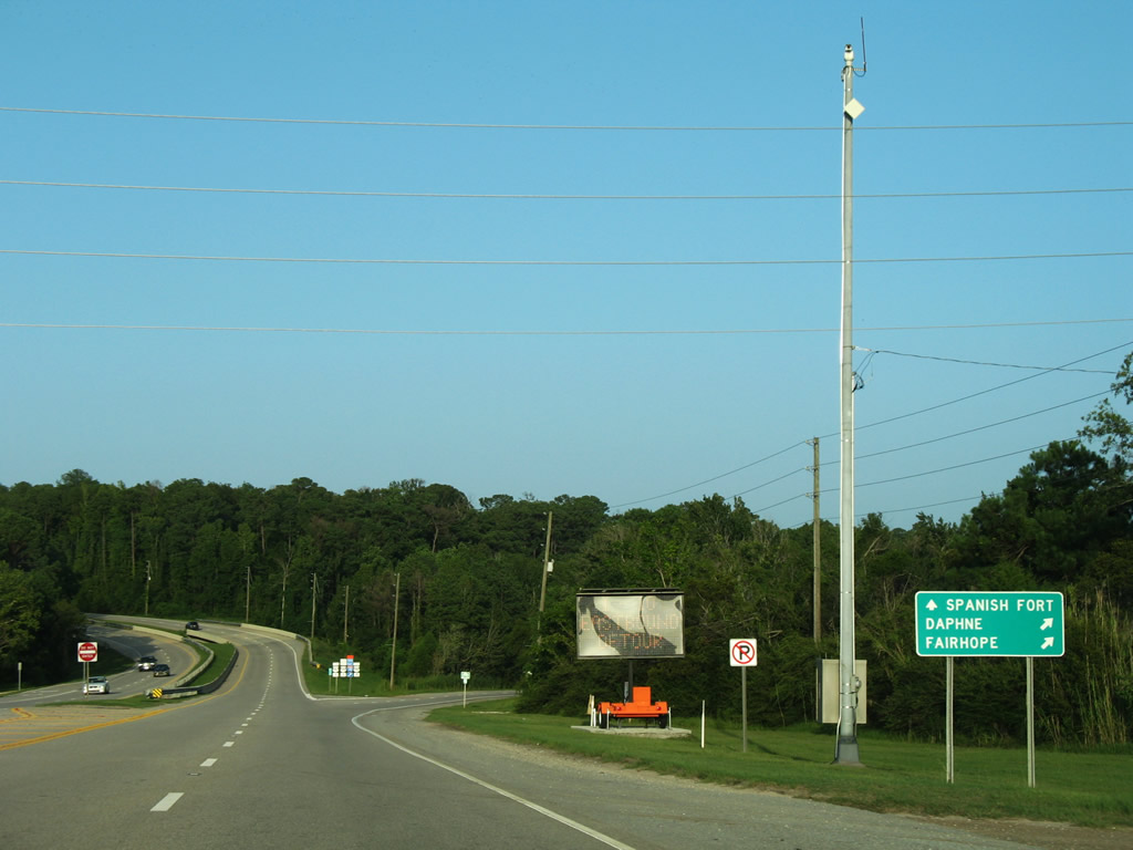
U.S. 90 resumes an eastward heading to Malbis. U.S. 98 remains south along an arterial route through Daphne and Fairhope.
08/04/06

Travelers originating from the Cochrane-Africatown Bridge on U.S. 90/98 Truck (Cochrane Causeway) must continue three miles to access I-10. A westbound on-ramp provides access for the nearby industrial and shipbuilding businesses to Interstate 10 west.
07/16/07
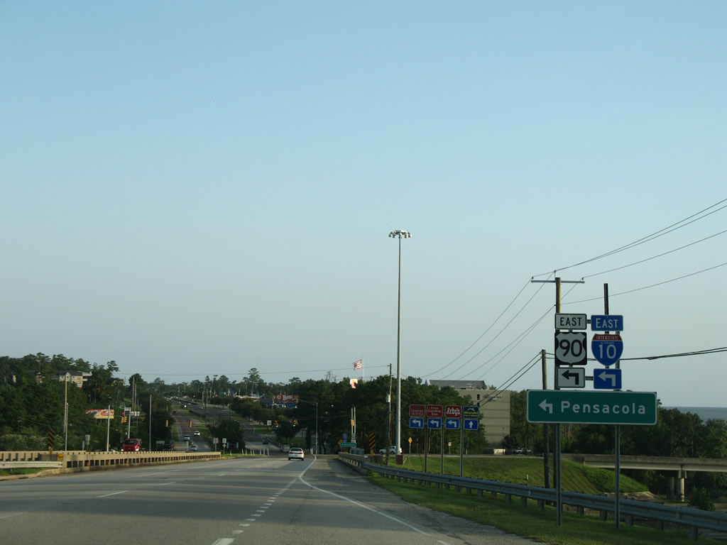
U.S. 90 eastbound overlaps with U.S. 98 for eight miles across Mobile Bay. The ramp to Interstate 10 eastbound departs from the Bankhead Tunnel and U.S. 98 to the right. This ramp previously was accessible to motorists along U.S. 90 eastbound. However following repairs from a truck fire on the ramp bridge in 2000, the slip ramp from U.S. 90 east to the entrance ramp remain closed.
06/02/10
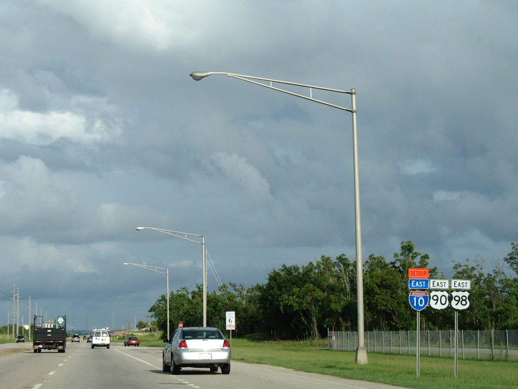
This set of reassurance shields stands beyond the exchange with I-10 by the Wallace Tunnel. The Interstate 10 Detour shield references the hazmat route signed in 1999 across the Cochrane Bridge and Truck U.S. 98.
07/16/07
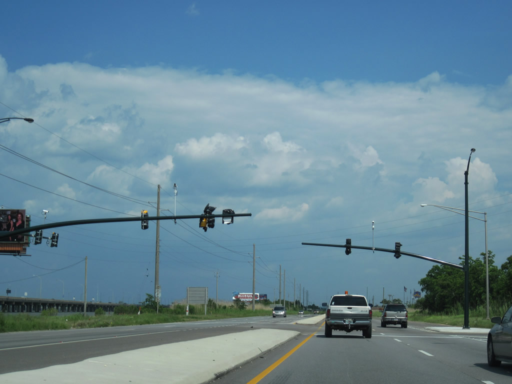
Mast-arm traffic light assemblies were added to the intersection of U.S. 90/98 at Addsco Road in 2010. A shipbuilding plant opened along Addsco Road during this time period.
05/27/10
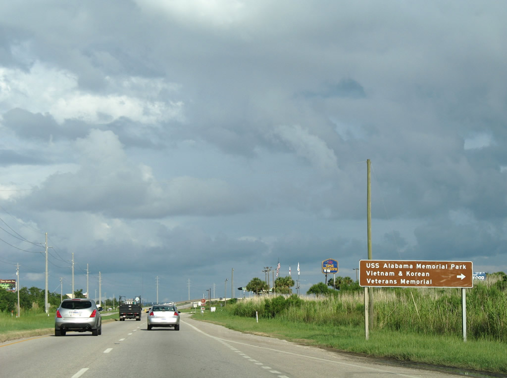
USS Alabama Battleship Memorial Park lies on the east end of Blakeley Island. The park is also home to the Vietnam and Korean War Veterans Memorial.
07/16/07
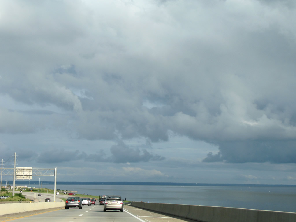
U.S. 90/98 (Battleship Parkway) span the Tensaw River and enter Baldwin County. The eastbound bridge was opened in 1998; the westbound span has been in service since 1965.
07/16/07
Photo Credits:
- Alex Nitzman: 09/10/00, 11/05/03, 06/06/06, 08/04/06, 07/16/07, 07/17/07
- ABRoads: 04/09/09, 05/27/10
- Alex Nitzman, Justin Cozart: 08/21/03
- AARoads: 06/02/10
Connect with:
Page Updated Tuesday February 08, 2011.