
U.S. 90/98 East - Pensacola


 East
East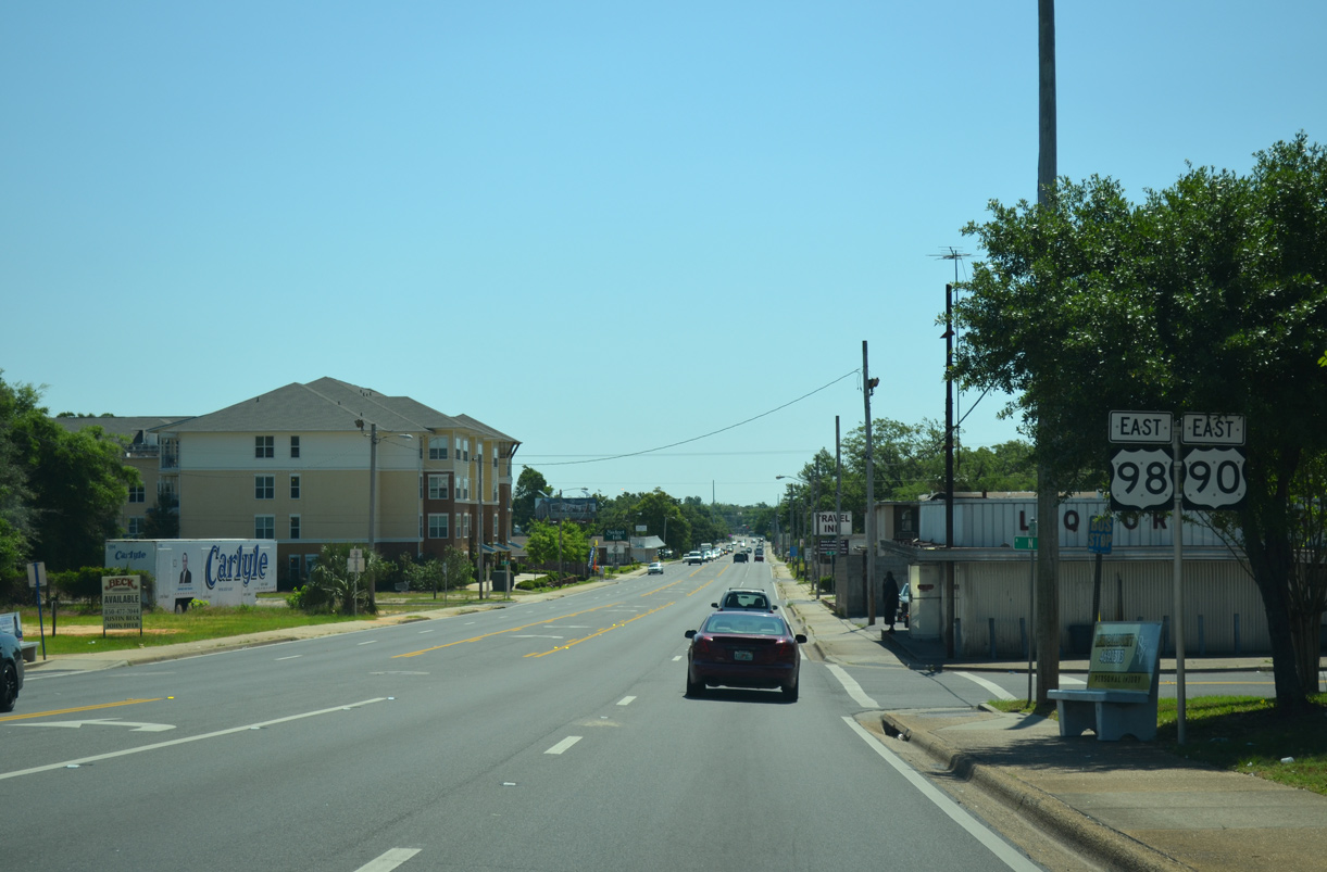
U.S. 90/98 combine east from SR 292 for 2.06 miles along Cervantes Street in Pensacola.
05/16/14
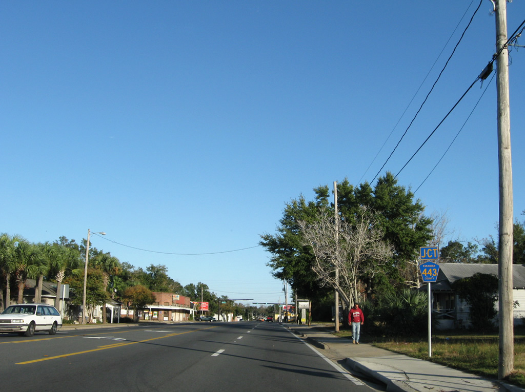
Approaching the signalized intersection with E Street on U.S. 90/98 (Cervantes Street) eastbound. Despite signage posted for County Road 443, E Street no longer shows up as a county maintained roadway in FDOT shape files. Escambia County Road 443 was a vastly unsigned route utilizing E Street between Cervantes Street and SR 752 (Texar Drive).
11/30/08
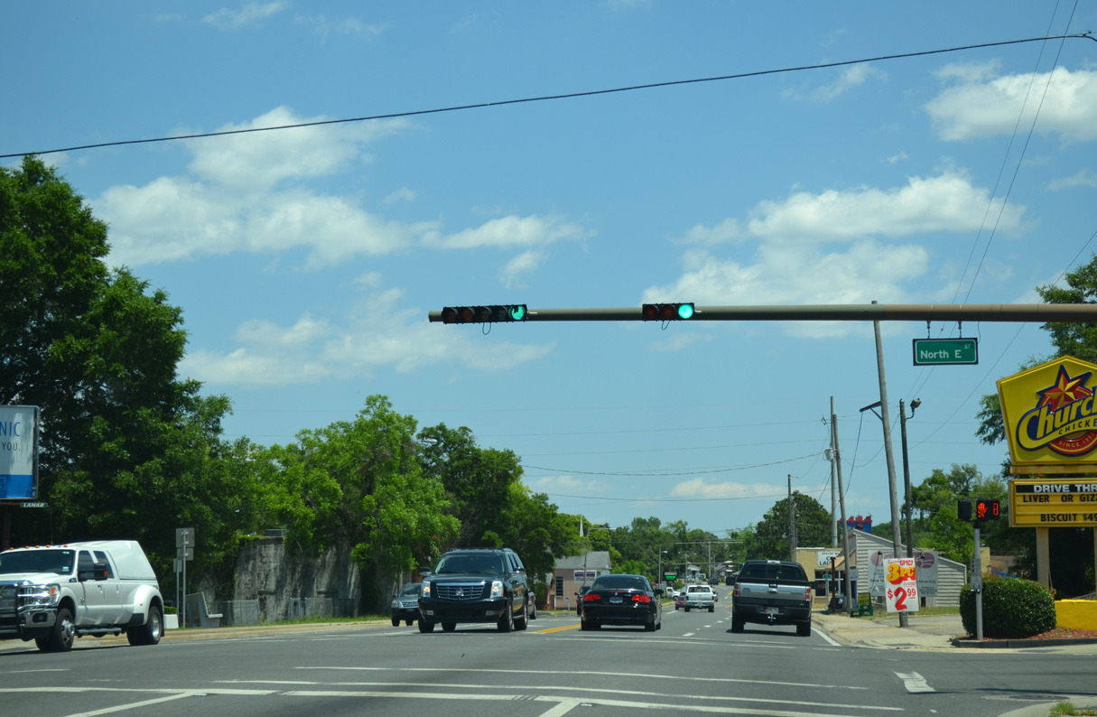
Mast-arm traffic lights at the intersection of U.S. 90/98 (Cervantes Street) and E Street. E Street heads 0.6 mile southward to U.S. 98 Business (Garden Street), by Barrancas Avenue.
05/16/14
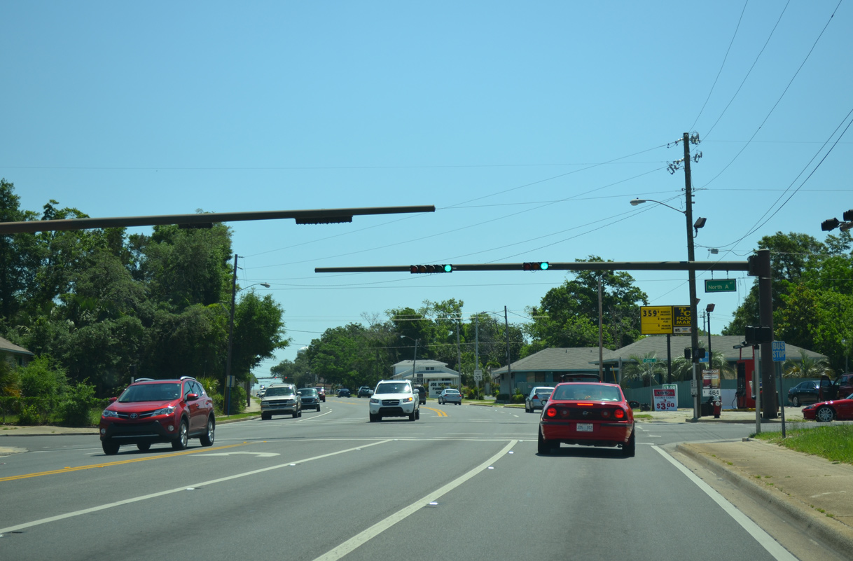
U.S. 90/98 (Cervantes Street) eastbound kink northward at A Street. The Pensacola street grid shifts to match the Pensacola Bay coastline east of A Street from Maxwell Street south to Main Street.
05/16/14
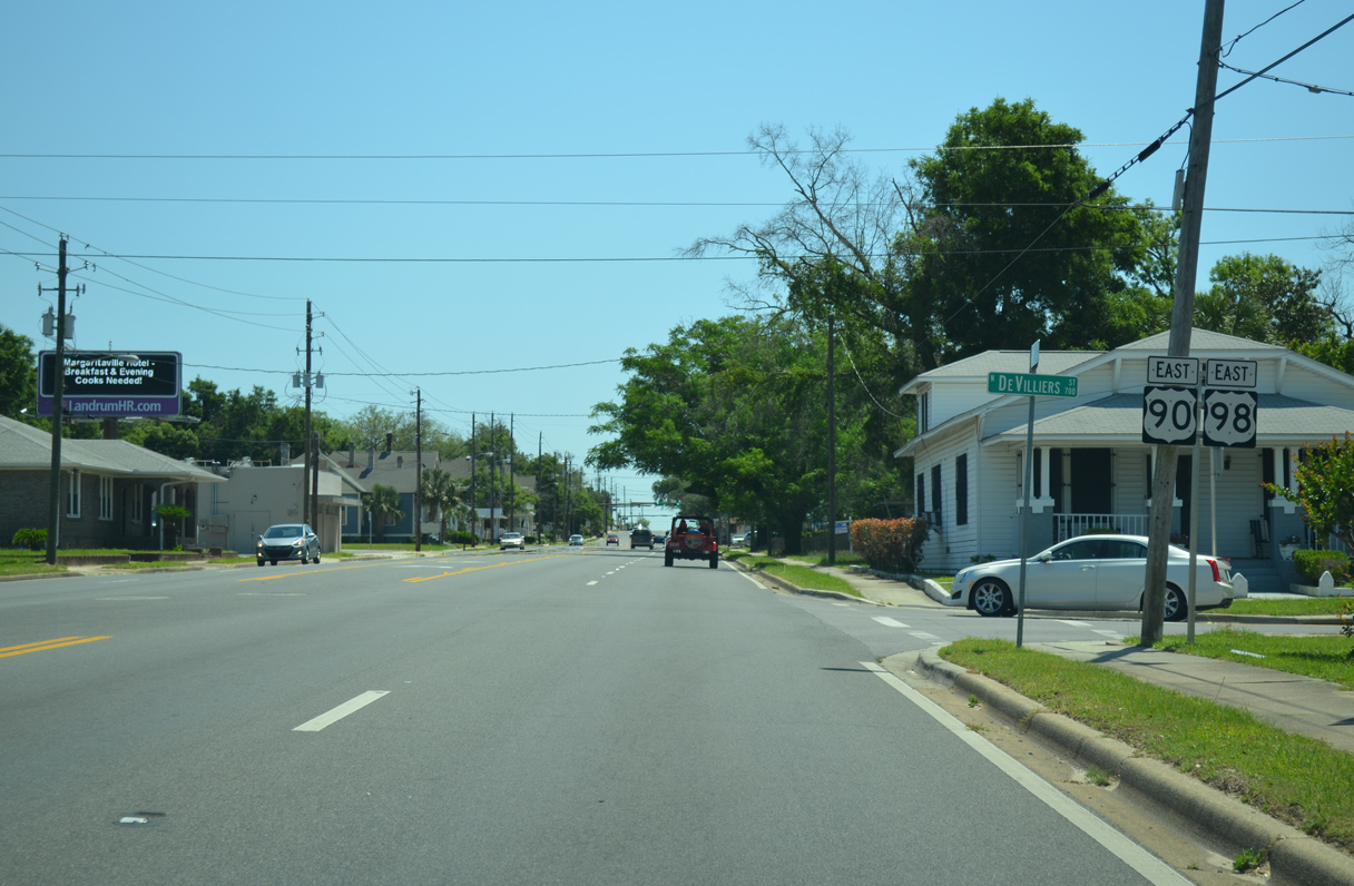
Eastbound U.S. 90/98 confirming markers posted along Cervantes Street at Devilliers Street.
05/16/14
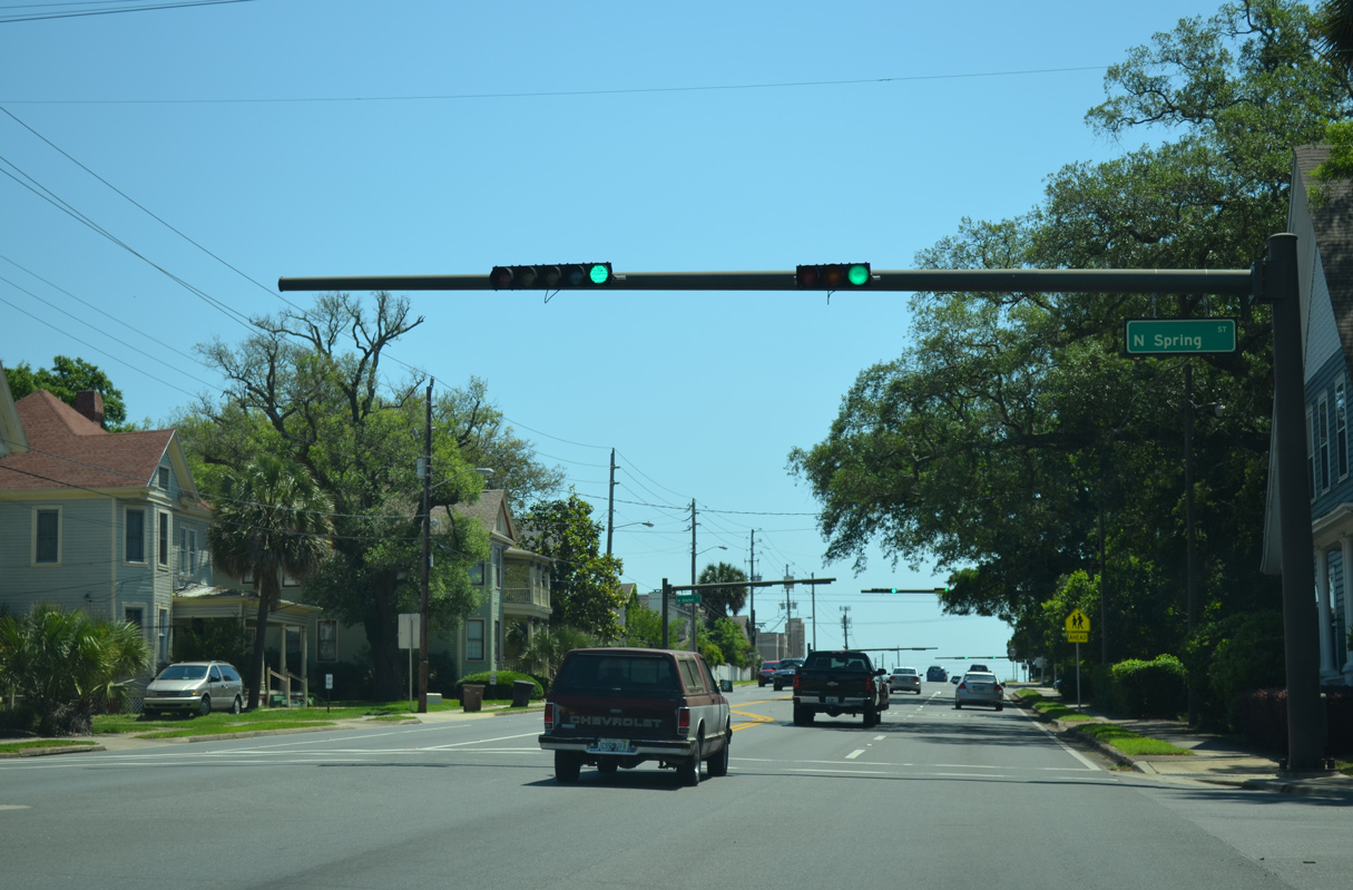
North of the Garden District, U.S. 90/ 98 intersect Spring Street. Spring Street, Baylen Street, and Palafox Street pass through the scenic neighborhood between Cervantes Street and U.S. 98 Business (Garden Street). Spring Street was switched to two way traffic on November 20, 2012.
05/16/14
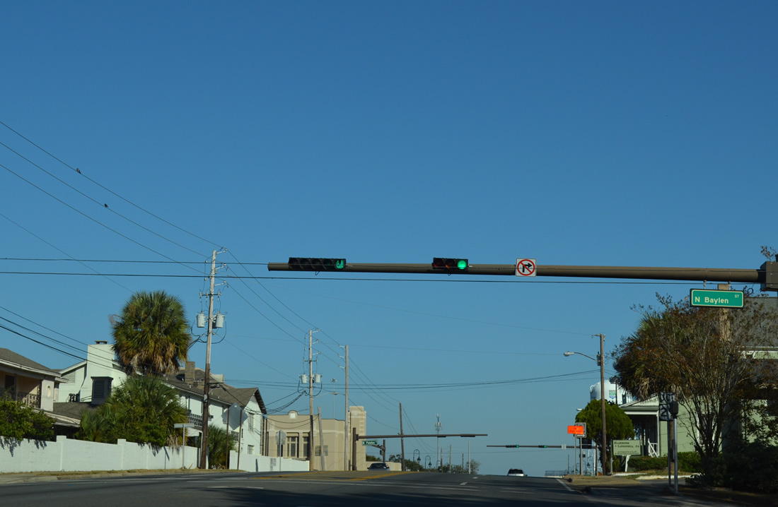
One block east of Spring Street at Baylen Street. Baylen Street was also switched from one way to two way traffic by early December 2012. The signal here is the second in a series of seven between Spring Street and SR 291 north (Davis Highway).
11/17/12
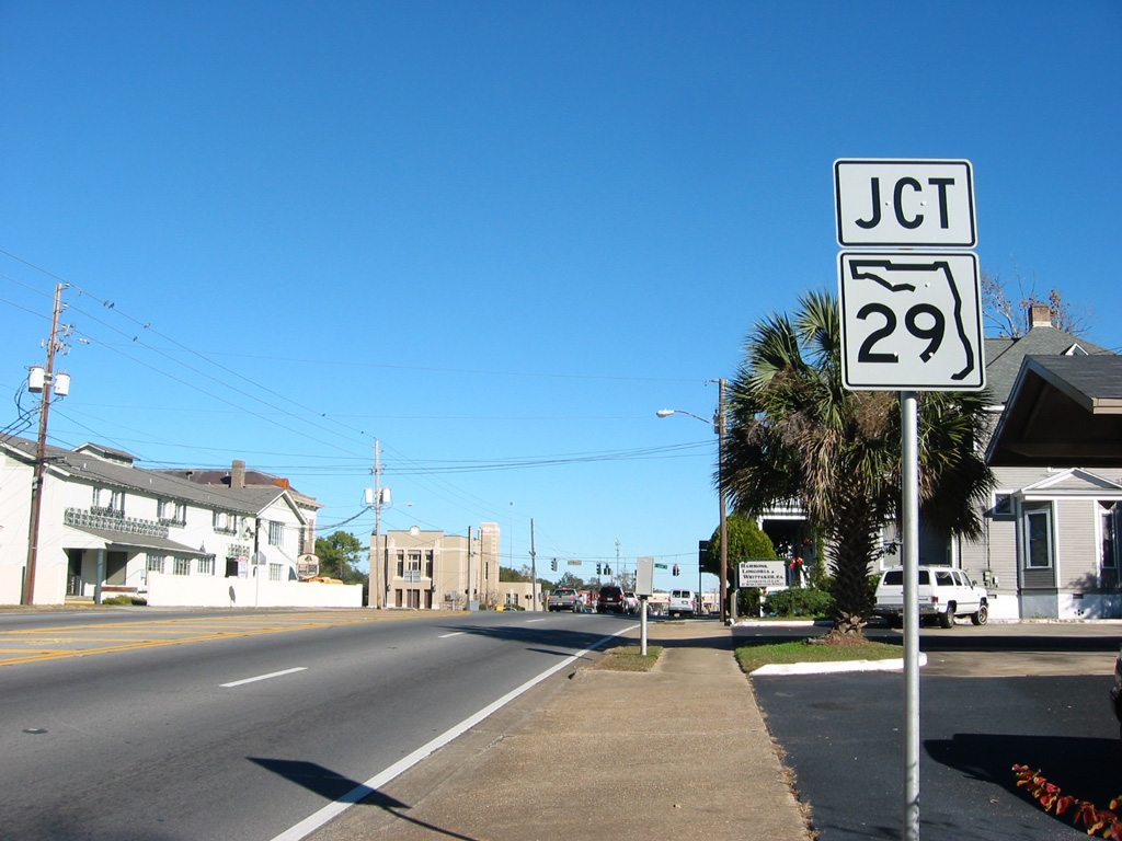
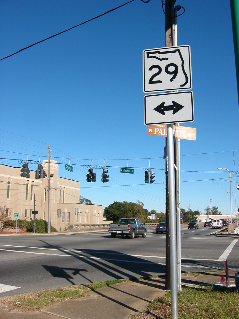
An erroneous shield for SR 29 once took the place of U.S. 29 along U.S. 90/98 (Cervantes Street) east between Baylen and Palafox Streets. It was corrected within six months.
12/20/03
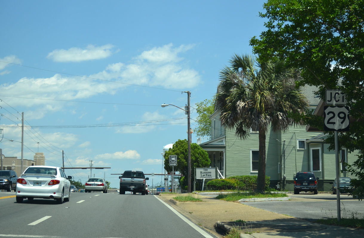
U.S. 29 travels along Palafox Street northward to Pensacola Boulevard en route to Brent, Ensley, Gonzalez, and Cantonment.
05/16/14
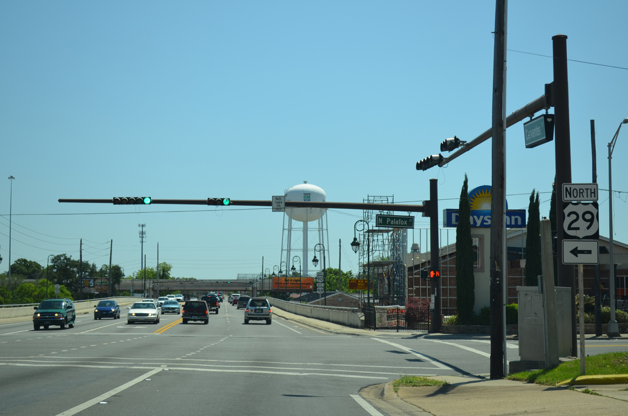
Another erroneous SR 29 shield was posted at the southern terminus of U.S. 29/SR 95 along U.S. 90/98 (Cervantes Street) eastbound. Additionally, this sign displayed U.S. 29 continuing southward along Palafox Street into Downtown, which it never did.
12/20/03
U.S. 29 constitutes the main artery out of the Pensacola metropolitan area to U.S. 31 and Alabama Route 113 at Flomaton.. U.S. 29 stretches 1,036 miles from Pensacola to Mt. Hebron, west of Baltimore, Maryland.
05/16/14
Cervantes Street elevated along a viaduct from U.S. 29 (Palafox Street) to a the half diamond interchange with Interstate 110 at Hayne Street. Originally a concrete bridge supported by timber pilings carried the roadway above a CSX Railroad line and adjacent Tarragona Street. That span was demolished and replaced during construction from April 2004 and October 2005.
05/16/14
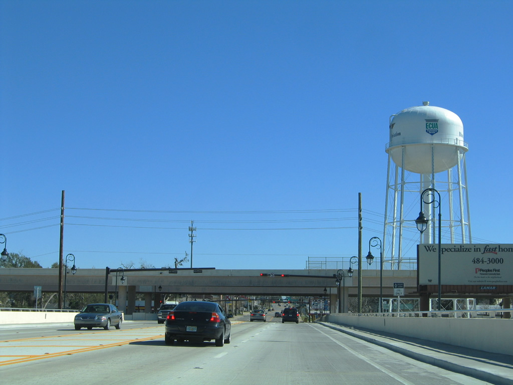
Hayne Street flows north from Wright Street to U.S. 90/98 (Cervantes Street) and the northbound on-ramp to Interstate 110. Interstate 110 leads northward from the Pensacola Bay Center and U.S. 98 Business (Gregory Street) to Brent and Interstate 10 near Ferry Pass.
01/31/06
Hayne Street flows north from Wright Street to U.S. 90/98 (Cervantes Street) and the northbound entrance ramp for I-110. Interstate 110 leads northward from the Pensacola Bay Center and U.S. 98 Business (Gregory Street) to Brent and I-10 near Ferry Pass.
05/16/14
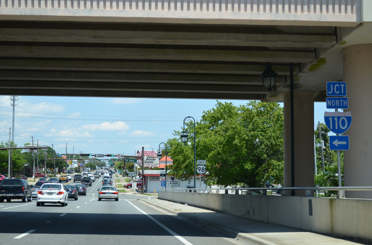
U.S. 90/98 lower from the Cervantes Street viaduct to intersect Hayne Street. Hayne Street runs alongside the elevated lanes of I-110 northward to the Maxwell Street on-ramp.
05/27/13
Reassurance markers posted between Hayne Street and southbound SR 291 (Martin Luther King, Jr. Drive / Alcaniz Street). SR 291 travels a one way street couplet (Davis Street north / MLK Drive south) from Wright Street north to Davis Highway.
05/27/13
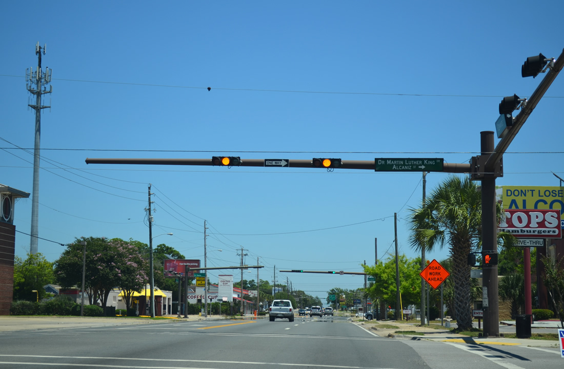
SR 291 is not acknowledged from Cervantes Street eastbound, however a reassurance marker lies just south of U.S. 90/98 along Alcaniz Street. SR 291 south concludes at U.S. 98 Business (Gregory Street).
05/27/13
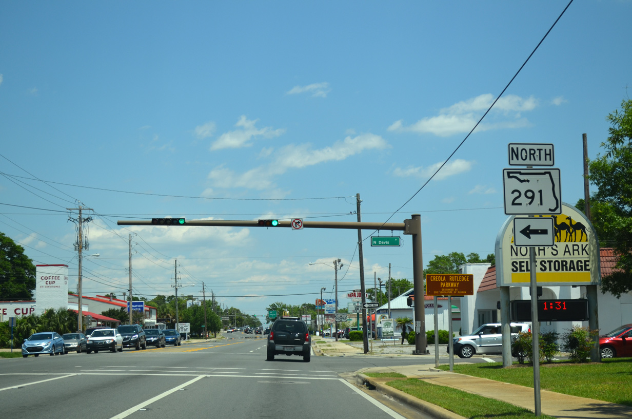
Eastbound U.S. 90/98 (Cervantes Street) at SR 291 (Davis Street) north. An 11.22 mile long route, SR 291 transitions from residential streets to a busy commercial arterial from Pensacola north to Ferry Pass and Nine Mile Road (U.S. 90 Alternate).
05/16/14
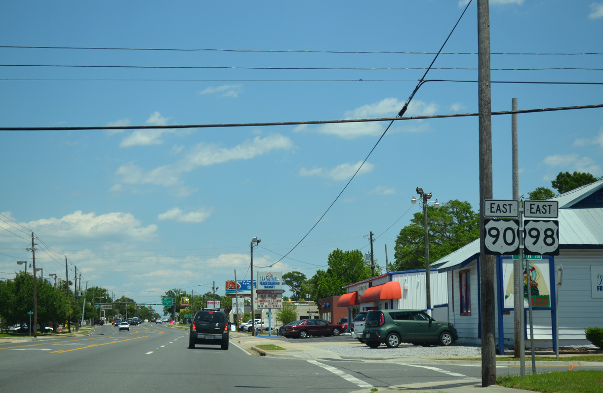
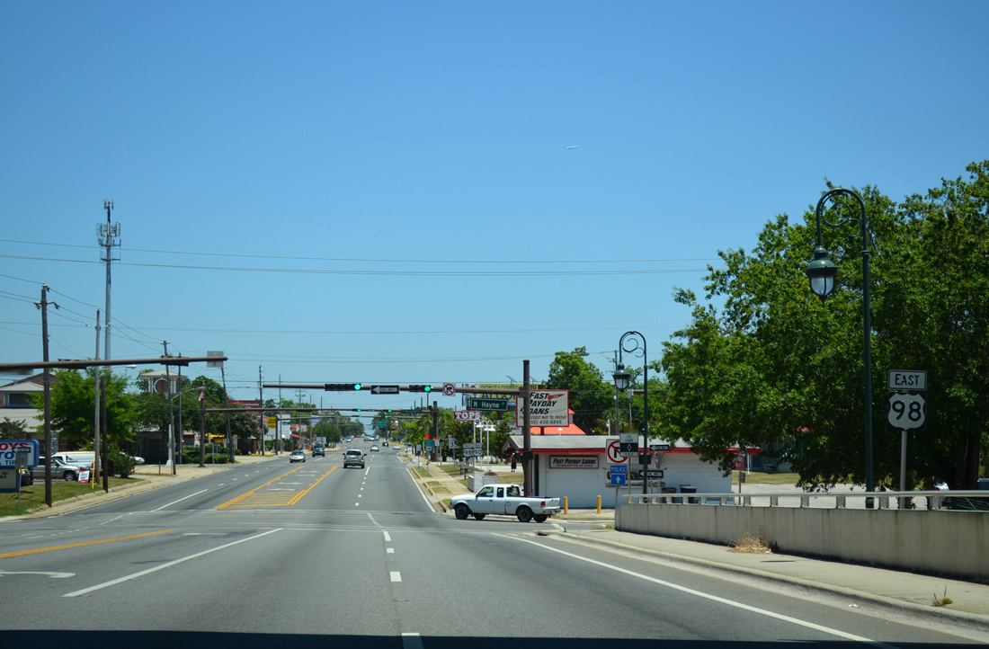
Continuing east from Davis Highway on U.S. 90/98 (Cervantes Street) passes through a mixture of commercial and residential areas to 17th Avenue and Bayou Texar.
05/16/14
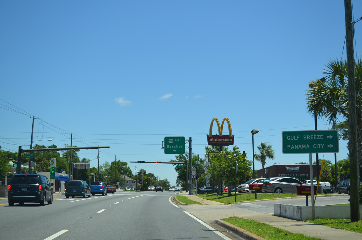
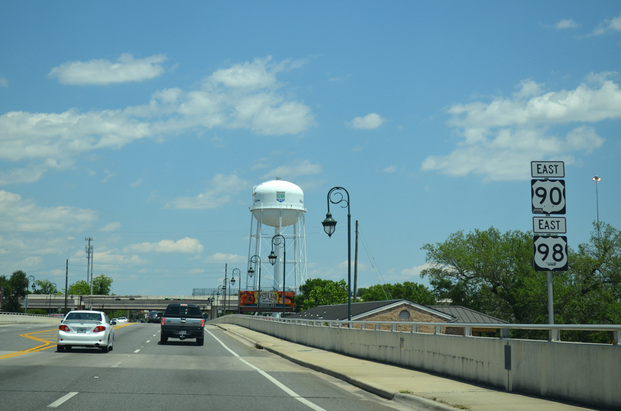
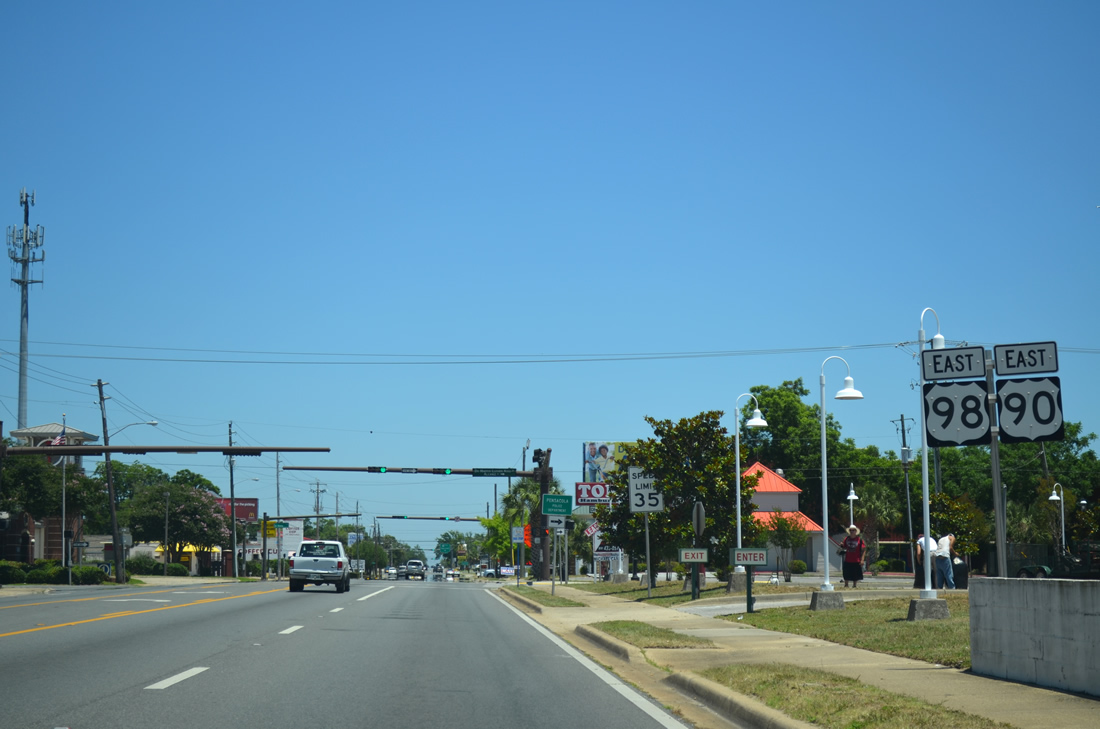
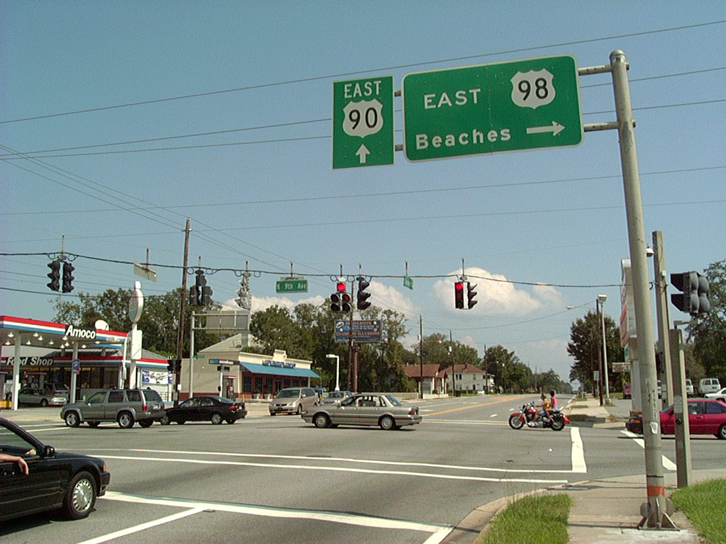
U.S. 98 turns combines with SR 289 southward 0.496 mile to Gregory and Chase Streets. SR 289 northbound continues to SR 752 (Texar Drive), bending northeast from there to Cordova Mall, College Park and Olive Road (CR 290) at Ferry Pass.
05/15/14
Replaced in late 2002, the previous overhead sign assembly at Cervantes Street and Ninth Avenue once displayed colored shields for U.S. 90 and U.S. 98.
09/29/02
Photo Credits:
- ABRoads: 11/30/08, 11/17/12, 05/15/14, 05/16/14
- Alex Nitzman: 09/29/02, 12/20/03, 01/31/06, 05/27/13
Connect with:
Page Updated Monday October 14, 2019.