
U.S. 90 East - Okaloosa County
U.S. 90 crosses Okaloosa County between Holt and Deerland along a rural course north of Interstate 10. Located at the crest of the Yellow and Shoal River, the city of Crestview began as a trading post in the late 1800s. The Pensacola and Atlantic Railroad constructed a line between Pensacola and the Apalachicola River in 1881. A railroad station was built and named Crestview due to the elevation of the crest at 235 above sea level.
Crestview became the county seat in 1917, two years after the formation of Okaloosa County from portions of Santa Rosa and Walton Counties by the State Legislature. The city is nicknamed "Hub City" due to its location at the cross roads of three major highways (U.S. 90, I-10 and SR 85).1
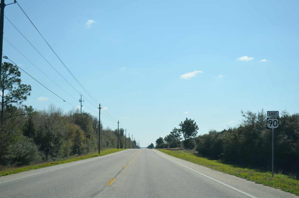
 East
East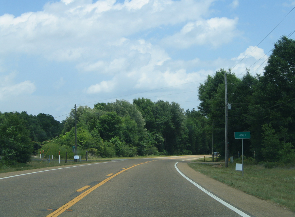
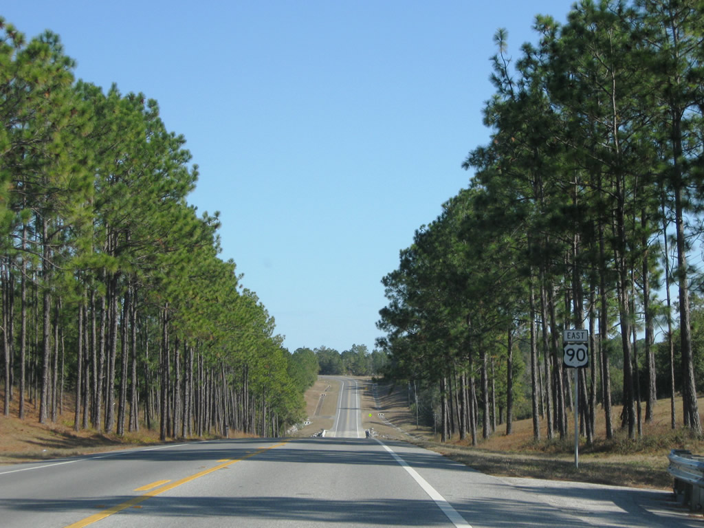
Two miles into Okaloosa County is the rural community of Holt on U.S. 90 eastbound.
05/31/04
Approaching CR 189 (Log Lake Road) on U.S. 90 eastbound at Holt.
05/31/04
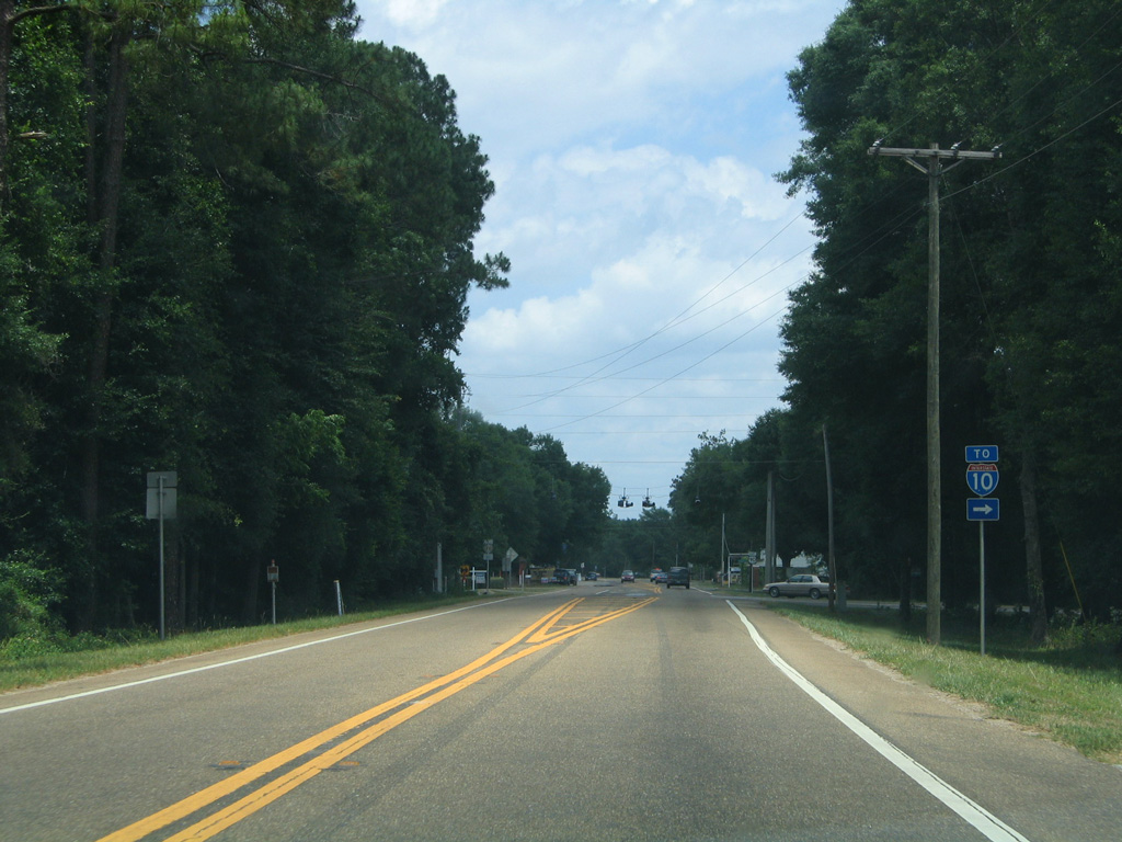
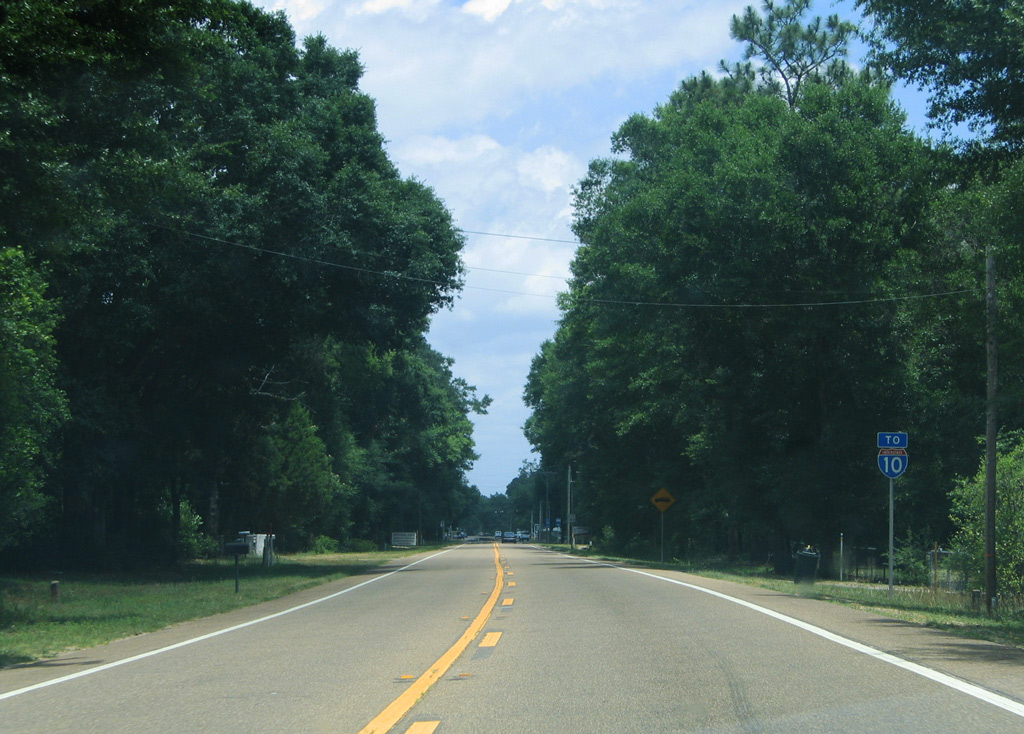
Log Lake Road (CR 189) travels one mile southward to a diamond interchange with Interstate 10.
05/31/04
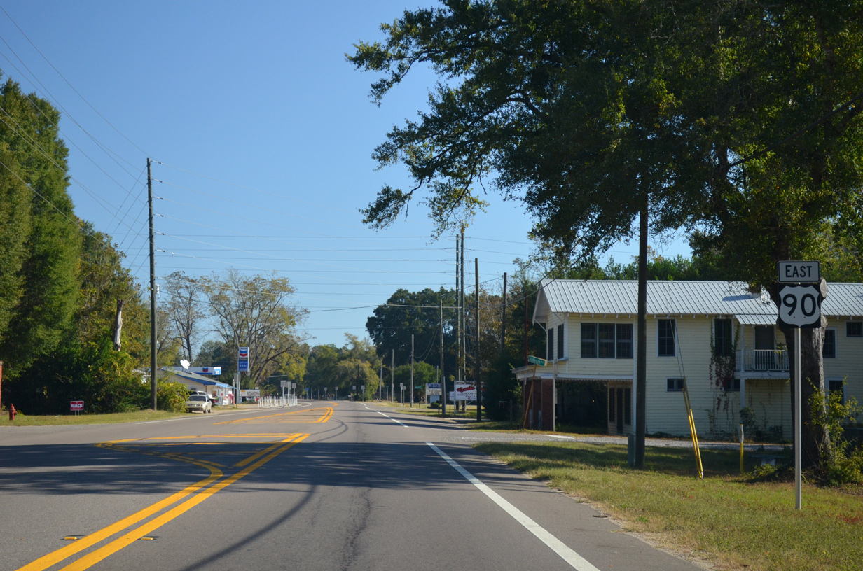
East from Log Lake Road, U.S. 90 passes through the small street grid of Holt. 2.7 miles separate the south branch of CR 189 along Log Lake Road from the north segment at Galliver Cut Off to the east.
11/03/12
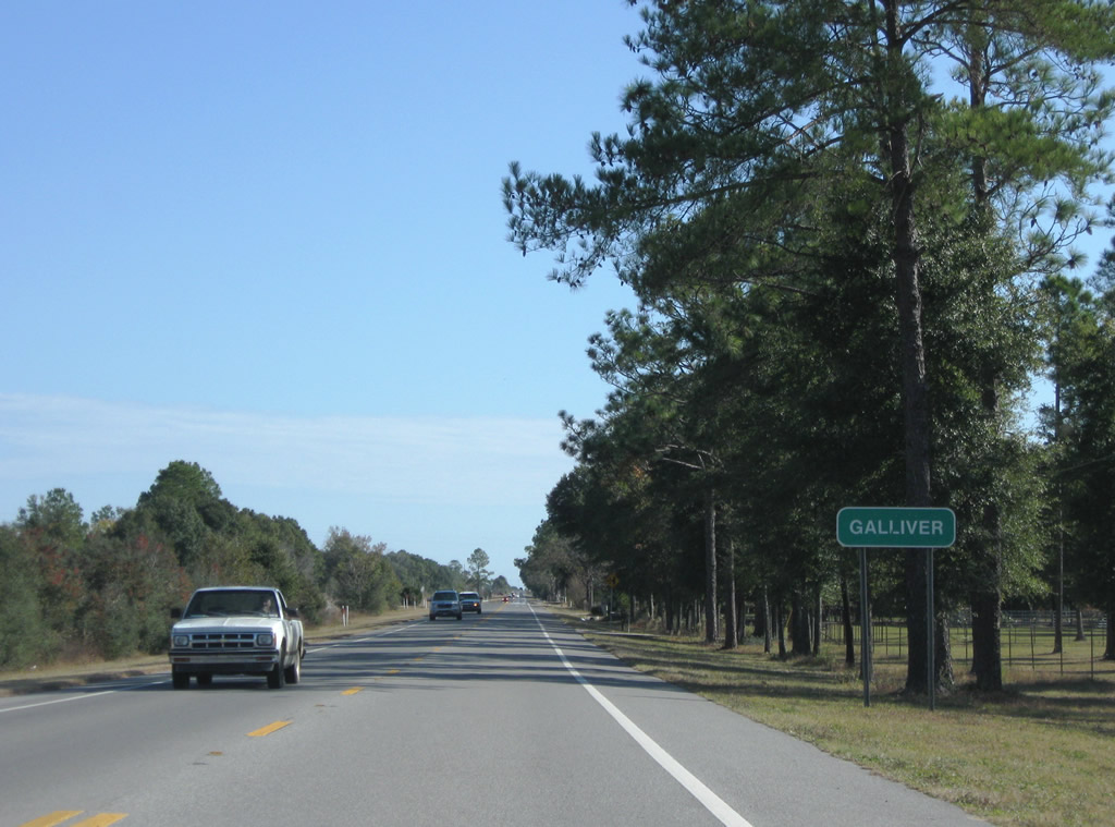
Entering the settlement of Galliver along U.S. 90 eastbound.
11/23/08
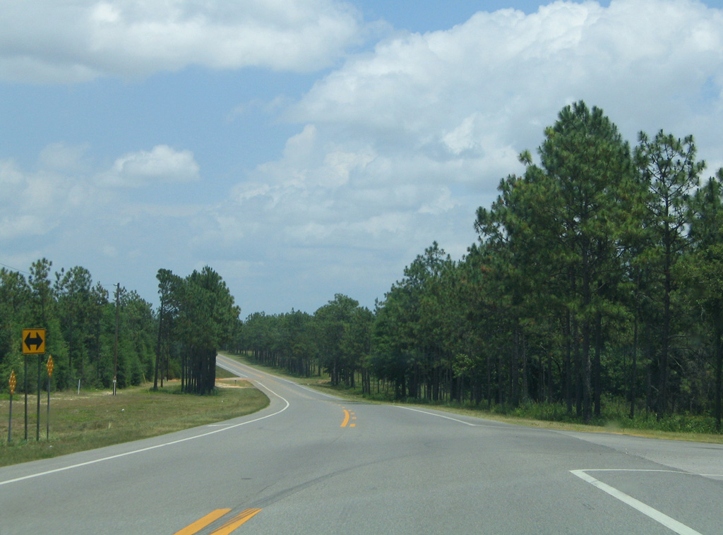
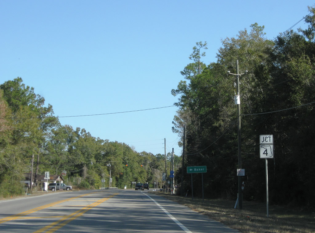
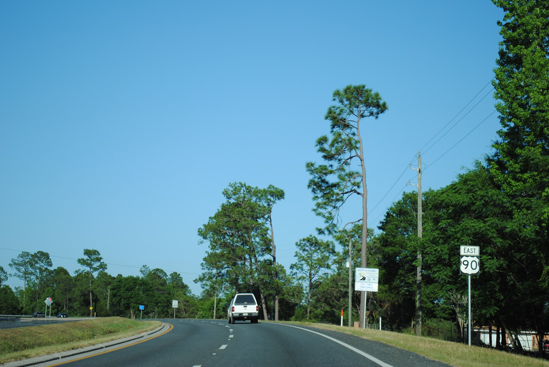
CR 189 stems northward from U.S. 90 at Galliver along Galliver Cut Off. The county road heads 4.5 miles northeast to SR 4 outside the unincorporated community of Baker.
11/03/12
Confirming marker posted after CR 189 north at Galliver. U.S. 90 and the parallel CSX Railroad line diverge in 1.2 miles.
05/31/04
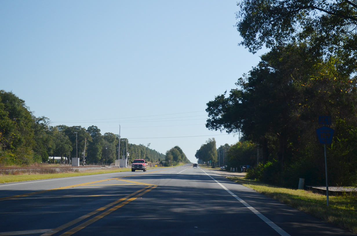
U.S. 90 winds northeastward across a Baggett Creek on the five mile drive between Galliver and the rural community of Milligan.
05/31/04
11/23/08
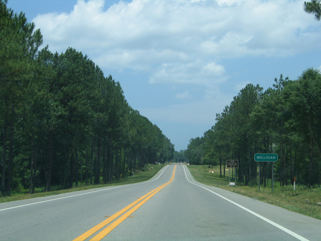
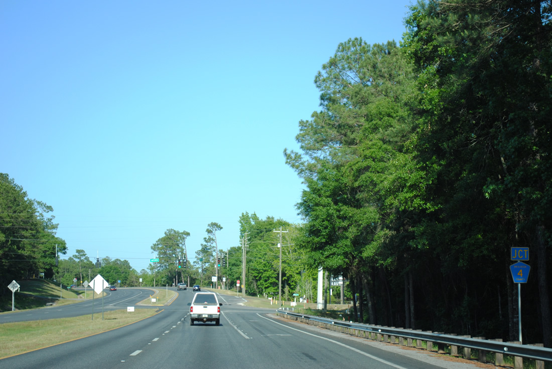
Milligan constitutes a small grid of streets ahead of the east end of SR 4 along U.S. 90.
05/31/04
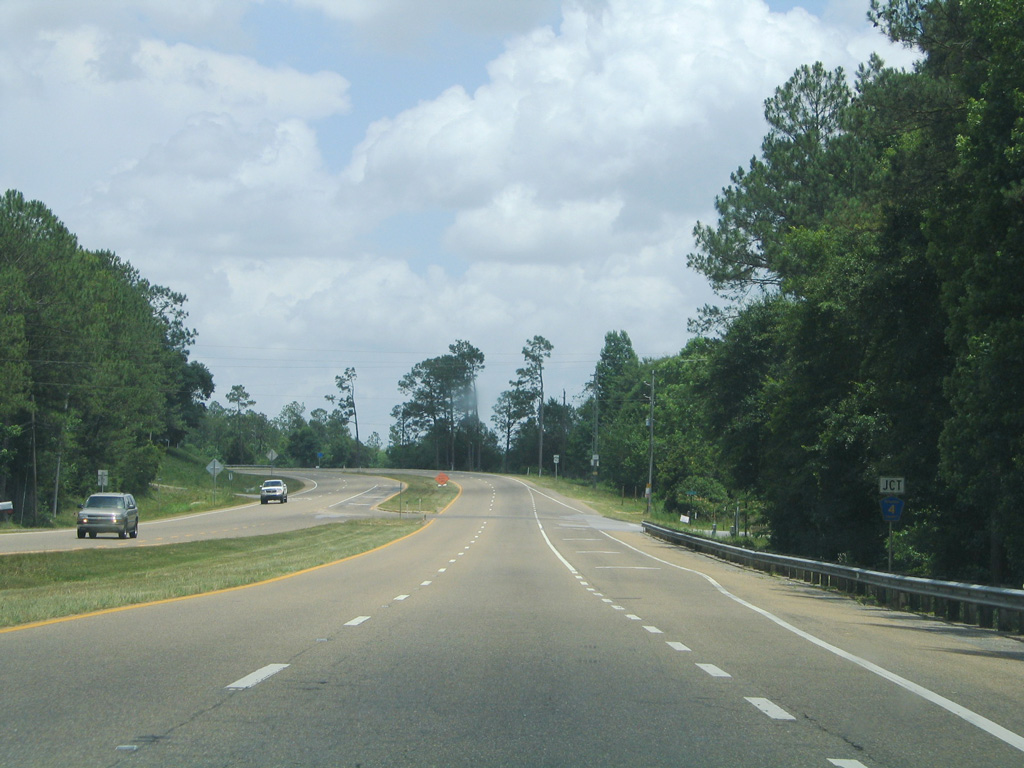
SR 4 ventures 37 miles northwest from Milligan through Blackwater River State Forest to Baker, Munson and Jay.
11/23/08
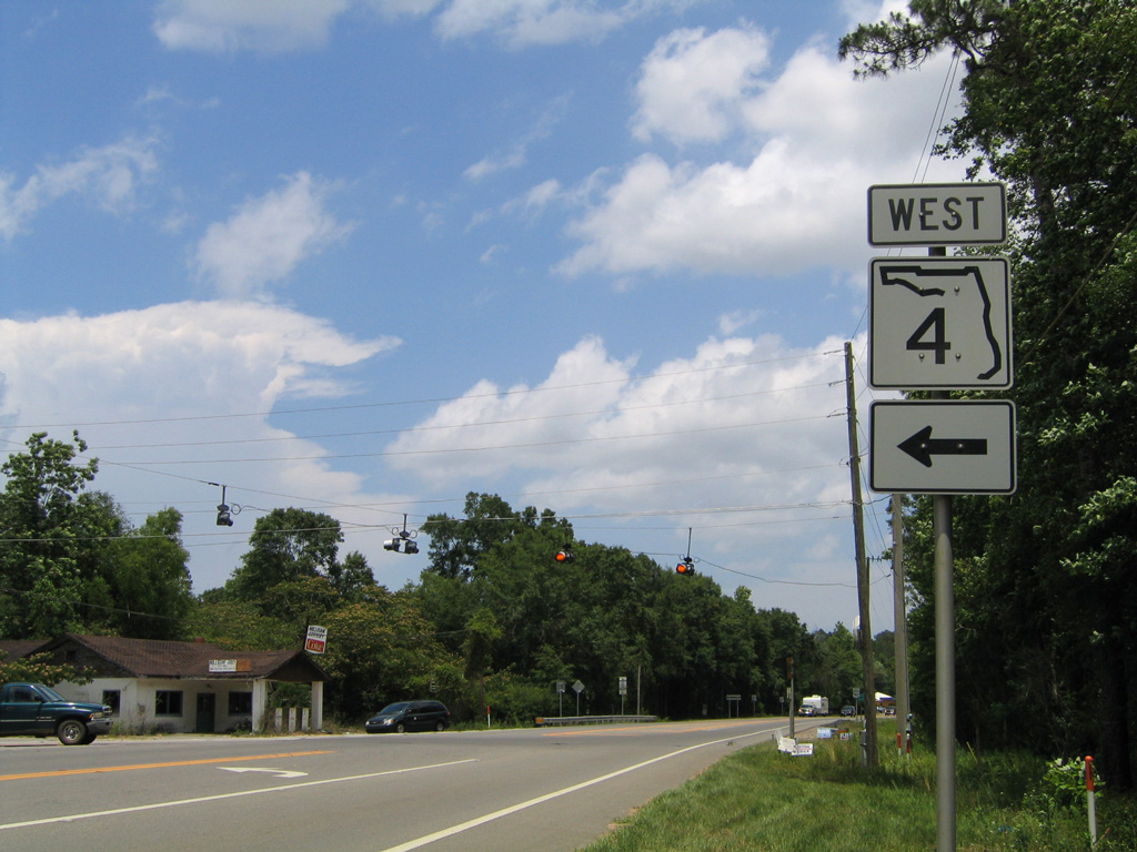
State Road 4 extends 43.75 miles west to U.S. 29 at Century in northern Escambia County. A 13.35 mile segment of County Road 4 is posted west of there between Davisville and U.S. 29.
05/31/04
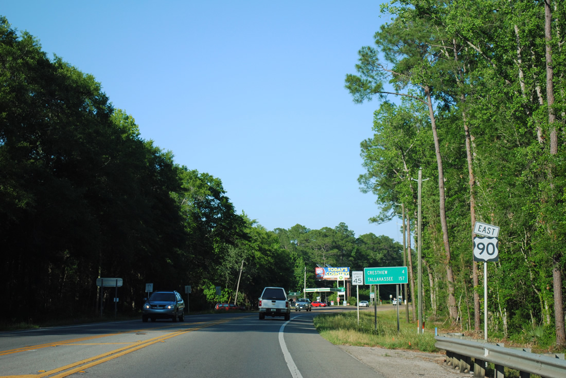
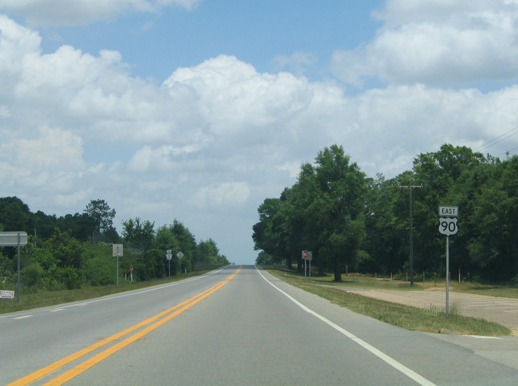
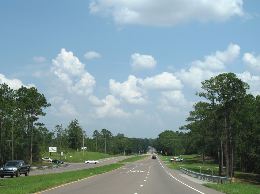
Progressing east from SR 4 and Milligan, U.S. 90 reaches Crestview in four miles and Tallahassee in 157 miles.
04/30/11
Spanning the Yellow River on a 1994-built bridge between Old River Road (former County Road 397) and Antioch Road on U.S. 90 (James Lee Boulevard) eastbound.
05/31/04
U.S. 90 expands to four lanes with a grassy median beyond the Yellow River. County Road 4 loops southward at the forthcoming intersection along a 3.02 mile course to Garrett Pit Road in southwest Crestview. The County Road originally ended at SR 85 in south Crestview, but was truncated west of P.J. Adams Parkway in 2011.
05/31/04
A traffic light was added at U.S. 90 and CR 4 (Antioch Road) by 2008. Antioch Road leads directly to P.J. Adams Parkway, a suburban through route to SR 85.
04/30/11
Turning northeastward from Antioch Road toward the city of Crestview on U.S. 90 east.
04/30/11
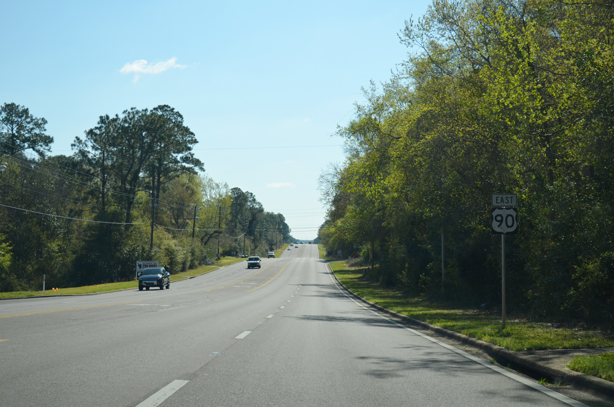
East U.S. 90 reassurance marker posted at Fairfield Drive outside Crestview.
05/02/09
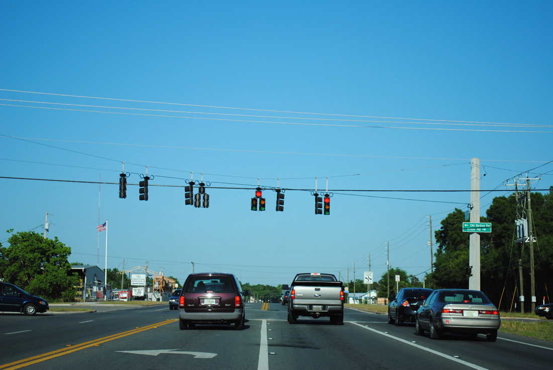
Old Bethel Road south and Enzor Road north come together at this traffic light on U.S. 90 (James Lee Boulevard). Old Bethel Road doubles as unsigned County Road 188 northeast to SR 85 (Ferdon Boulevard) in north Crestview.
04/30/11
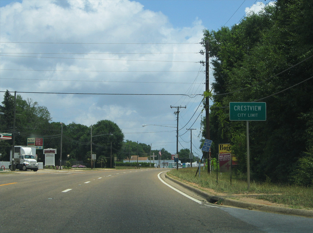
U.S. 90 (James Lee Boulevard) transitions into a five lane, commercial boulevard beyond Old Bethel Road at Crestview.
05/31/04
SR 85 (Ferdon Boulevard) converges with U.S. 90 (James Lee Boulevard) east of Main Street by Downtown Crestview.
05/31/04
Main Street branches southeast from U.S. 90 (James Lee Boulevard) at a six way intersection with Wilson Street and Hickory Avenue.
05/31/04
U.S. 90 passes north of Downtown Crestview between Main Street and SR 85 (Ferdon Boulevard).
05/31/04
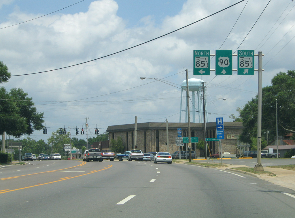
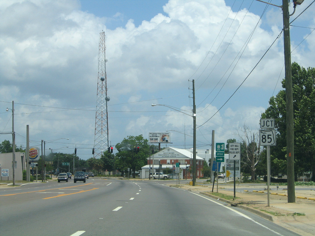
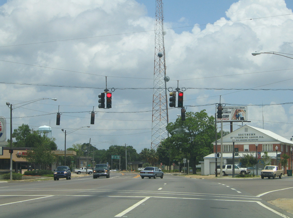
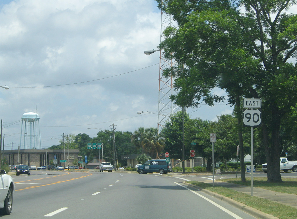
Passing by the Okaloosa County Courthouse, U.S. 90 (James Lee Boulevard) meets SR 85 (Ferdon Boulevard). SR 85 becomes SR 55 at the town of Florala, Alabama near Paxton and U.S. 331. The state road crosses into Covington County, Alabama in 25 miles.
05/31/04
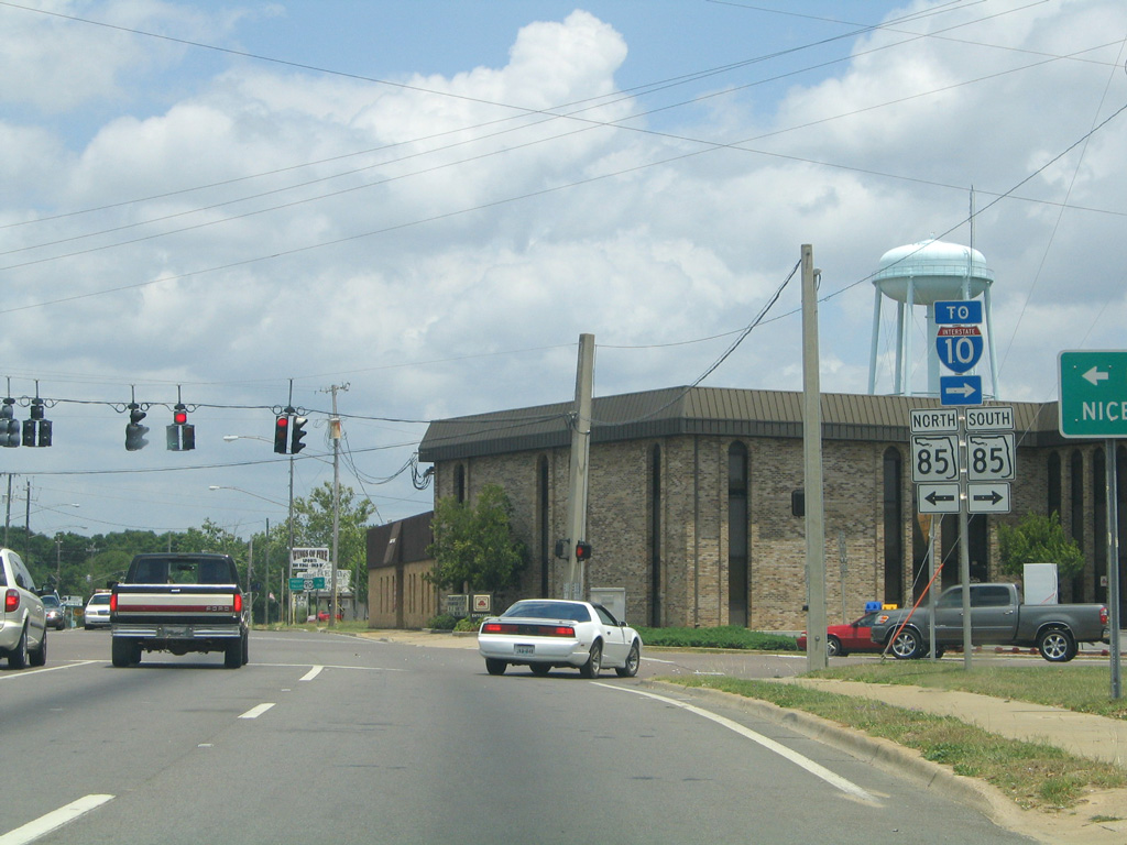
SR 85 (Ferdon Boulevard) heads 2.5 miles south to I-10 (Exit 56) and 17.5 miles through Eglin Air Force Base into Niceville. The state road concludes 31 miles to the south at U.S. 98 in the city of Fort Walton Beach.
05/31/04
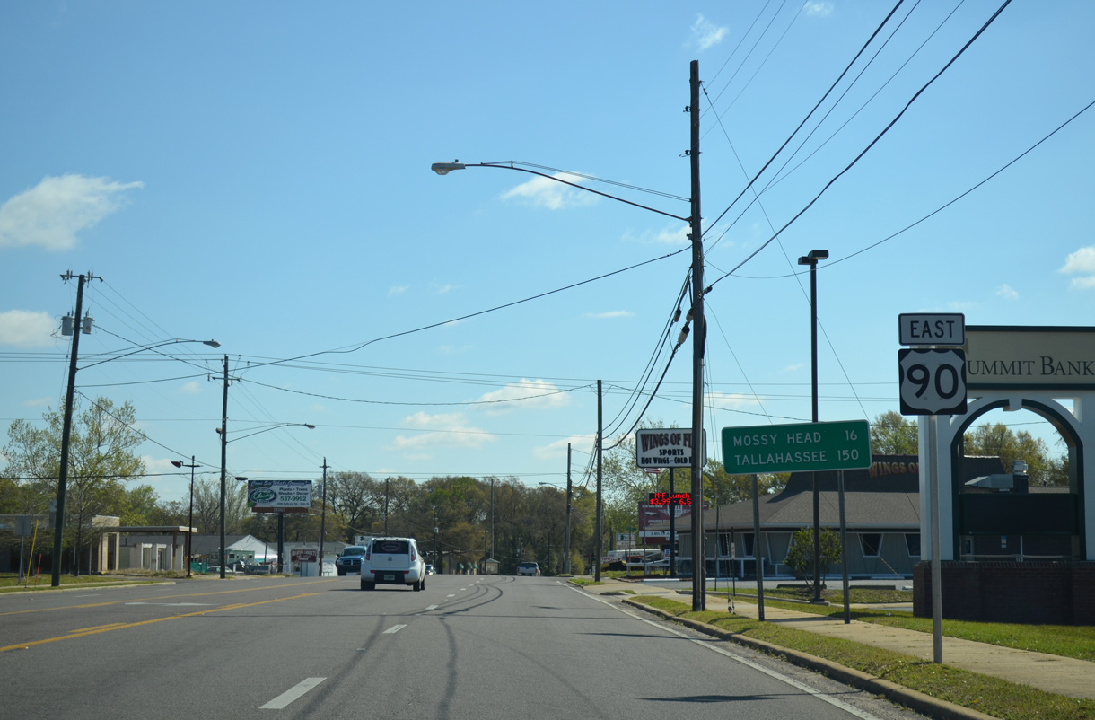
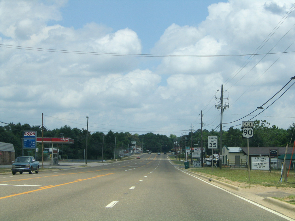
Located 16 miles east of Crestview, Mossy Head, an unincorporated community in Walton County, is the next population center along U.S. 90.
03/26/13
Valley Road (former CR 0711) ties into U.S. 90 (James Lee Boulevard) ahead of this assembly in east Crestview. The county road took an L-shaped, 1.85 mile route north to Stillwell Boulevard and west to SR 85.
03/26/13
Confirming marker posted after the intersection with Okaloosa Lane (unsigned CR 280A). CR 280A loops west 2.67 miles to the Amtrak station between Main Street and SR 85 (Ferdon Boulevard) in Downtown Crestview.
03/26/13
U.S. 90 (Old Spanish Trail) eastbound at Fairchild Road north. The four lane section concludes before the Shoal River.
08/07/06
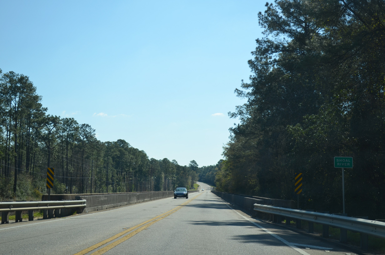
Crossing the Shoal River on U.S. 90 eastbound. Crestview derived it names from being the highest point between the Yellow and Shoal Rivers.
03/26/13
Progressing east along U.S. 90 (Old Spanish Trail) near the Killingsworth Crossroads area.
03/26/13
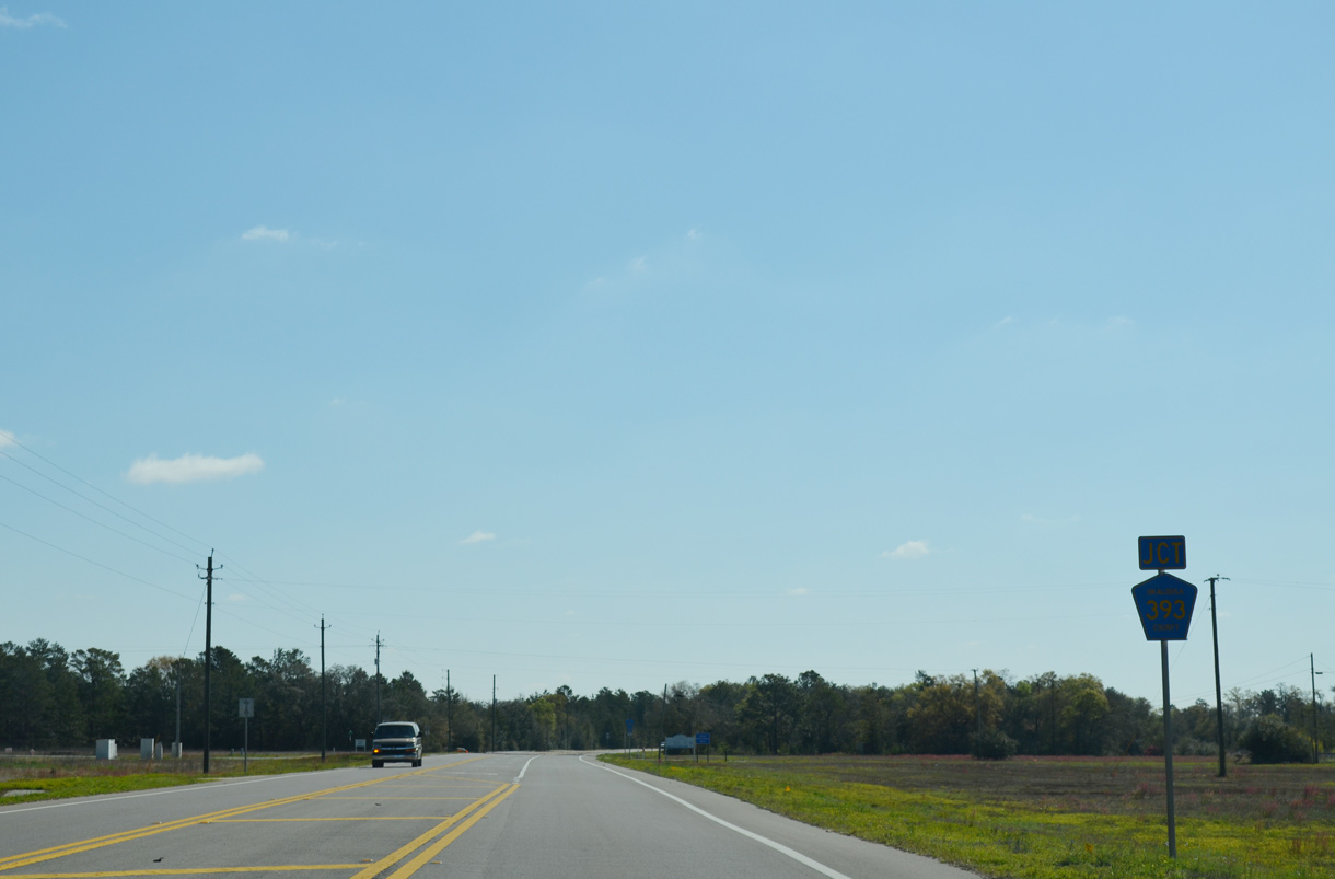
County Road 393 stems 15.70 miles north from U.S. 90 to SR 85 at Svea.
03/26/13
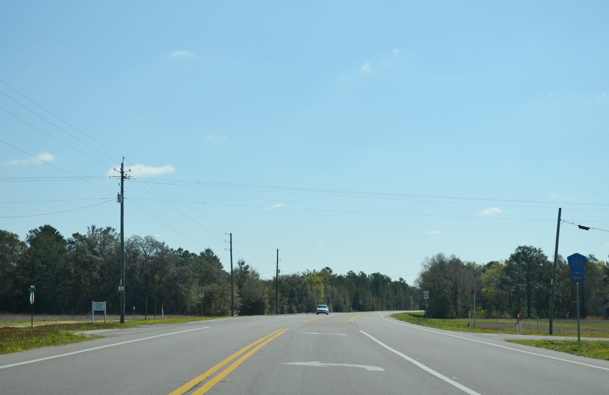
Okaloosa County Road 393 weaves northward from the settlement of Deerland to Dorcas and Yellow Bluff, rural communities near the Shoal River and Pond Creek.
03/26/13
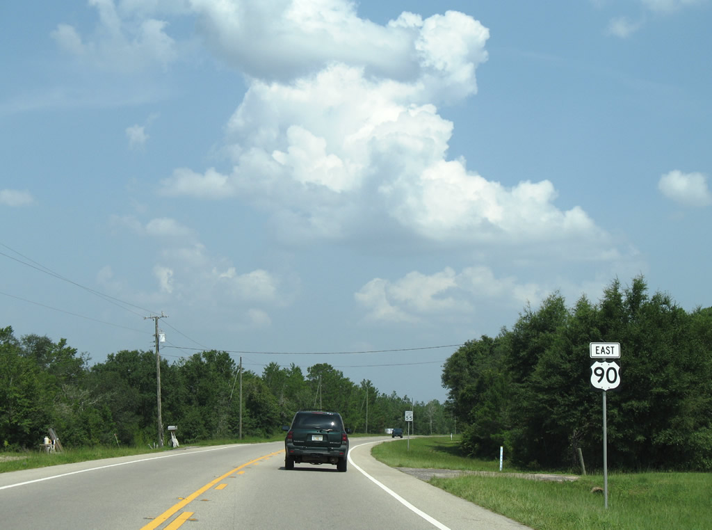
U.S. 90 continues east from Deerland toward The Pines and Magnolia Blossoms, two adjacent subdivisions near the Walton County line.
08/07/06
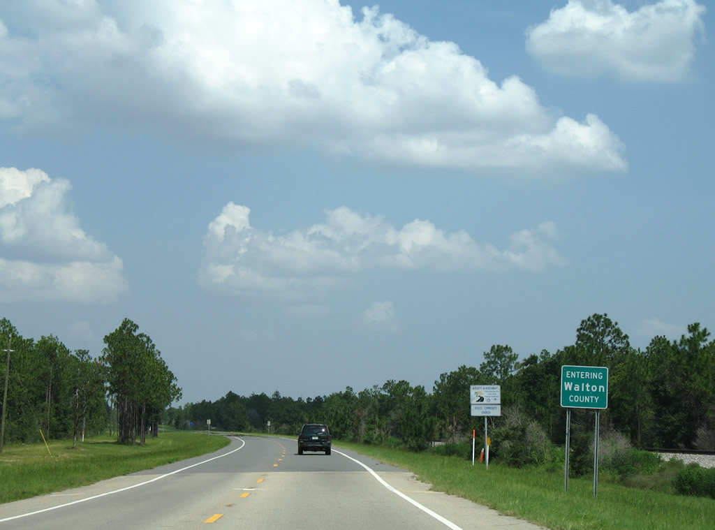
Entering Walton County along U.S. 90 eastbound. The drive remains rural to DeFuniak Springs.
08/07/06
References:
- History. city of Crestview web site.
Photo Credits:
- Alex Nitzman: 05/31/04, 08/07/06, 11/03/12, 03/26/13
- ABRoads: 11/23/08, 04/30/11
- Brent Ivy: 05/02/09
Connect with:
Page Updated Monday October 14, 2019.