
U.S. 98 East - Pensacola to Gulf Breeze

 East
East  South
South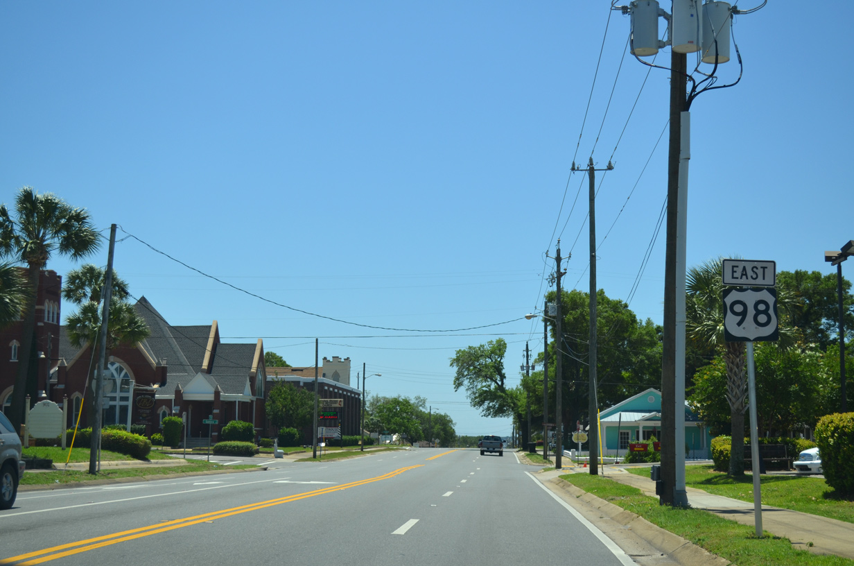
Heading south along Ninth Avenue on U.S. 98 east and unsigned SR 289 south from Cervantes Street (U.S. 90).
05/15/14
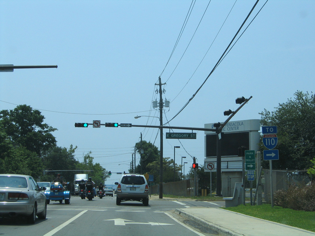
Ninth Avenue intersects Gregory Street one block east of the Pensacola Bay Center at U.S. 98 Business (Gregory Street) west to Interstate 110 north and Alcaniz Street (SR 291).
05/09/04
SR 289 concludes where U.S. 98 turns east onto Chase Street from Ninth Avenue south.
05/16/14
U.S. 98 Business joins Chase Street east from Alcaniz Street and combines with traffic at the south end of I-110. U.S. 98 overtakes Chase Street west from the business route at Ninth Avenue. Ninth Avenue continues another six blocks south to SR 196 (Bayfront Parkway) and the Pensacola Bay shoreline.
05/16/14
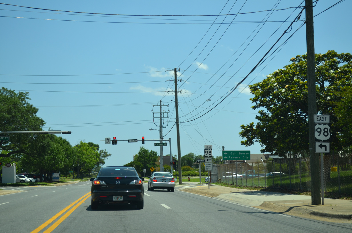
East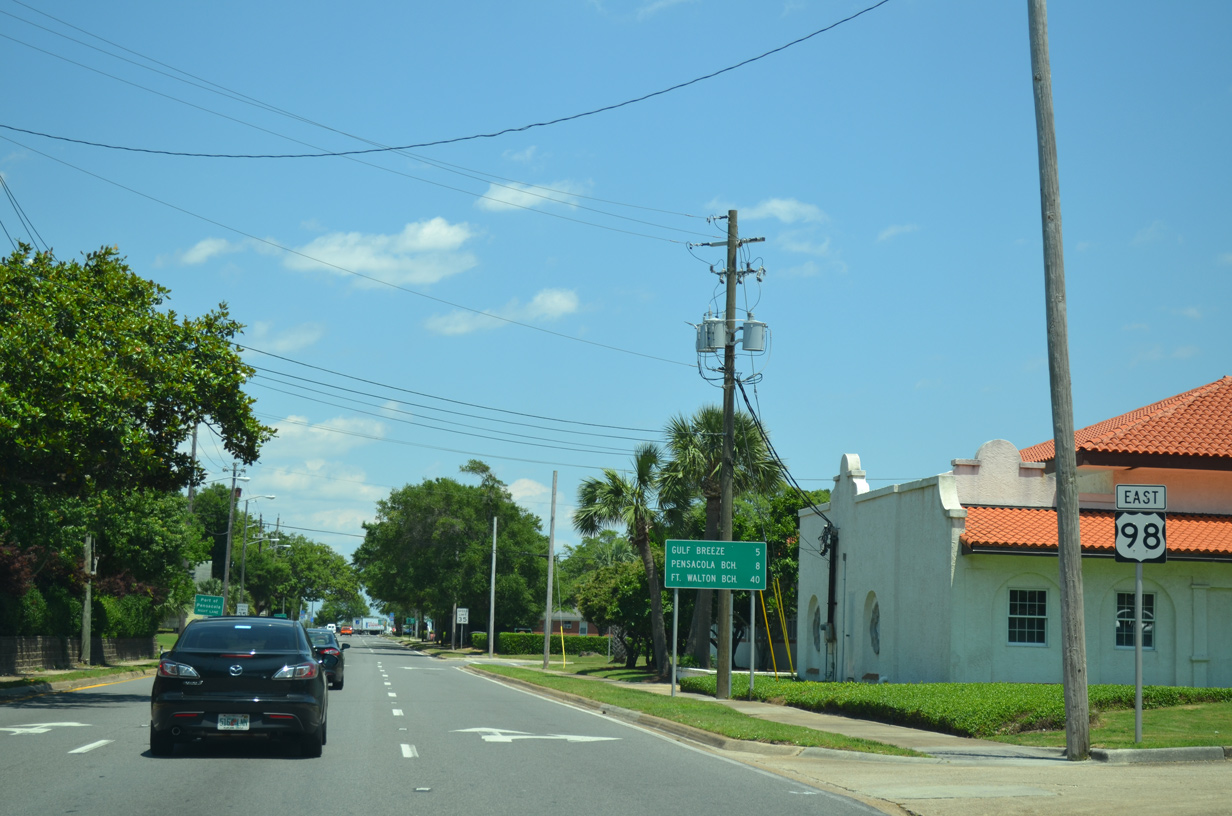
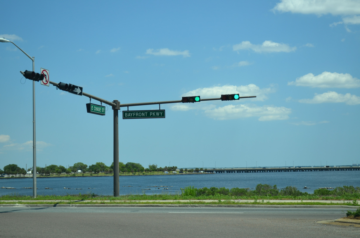
Resuming an eastward course, U.S. 98 follows Chase Street four blocks to Bayfront Parkway. Gulf Breeze lies five miles to the southeast across the Pensacola Bay Bridge.
05/16/14
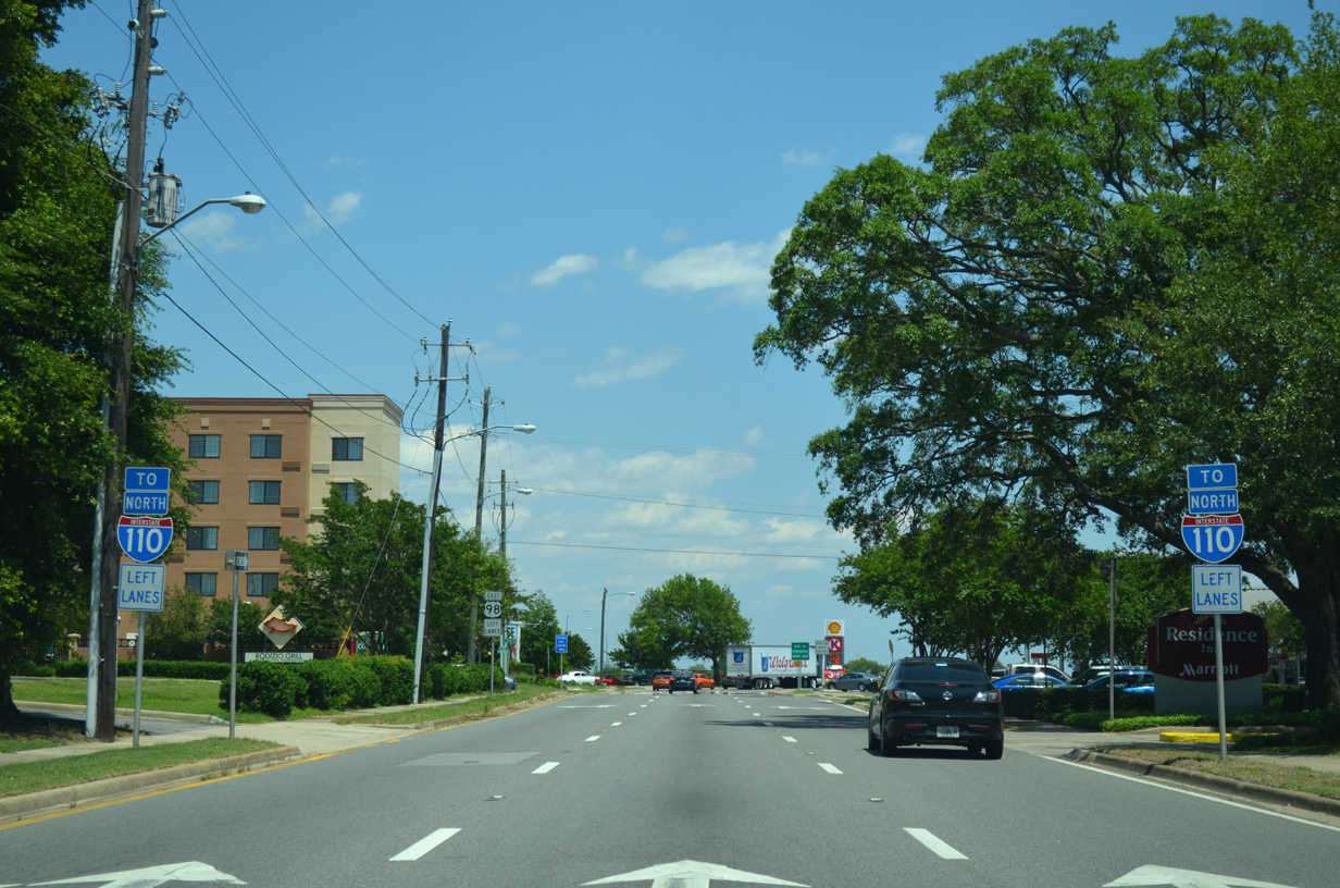
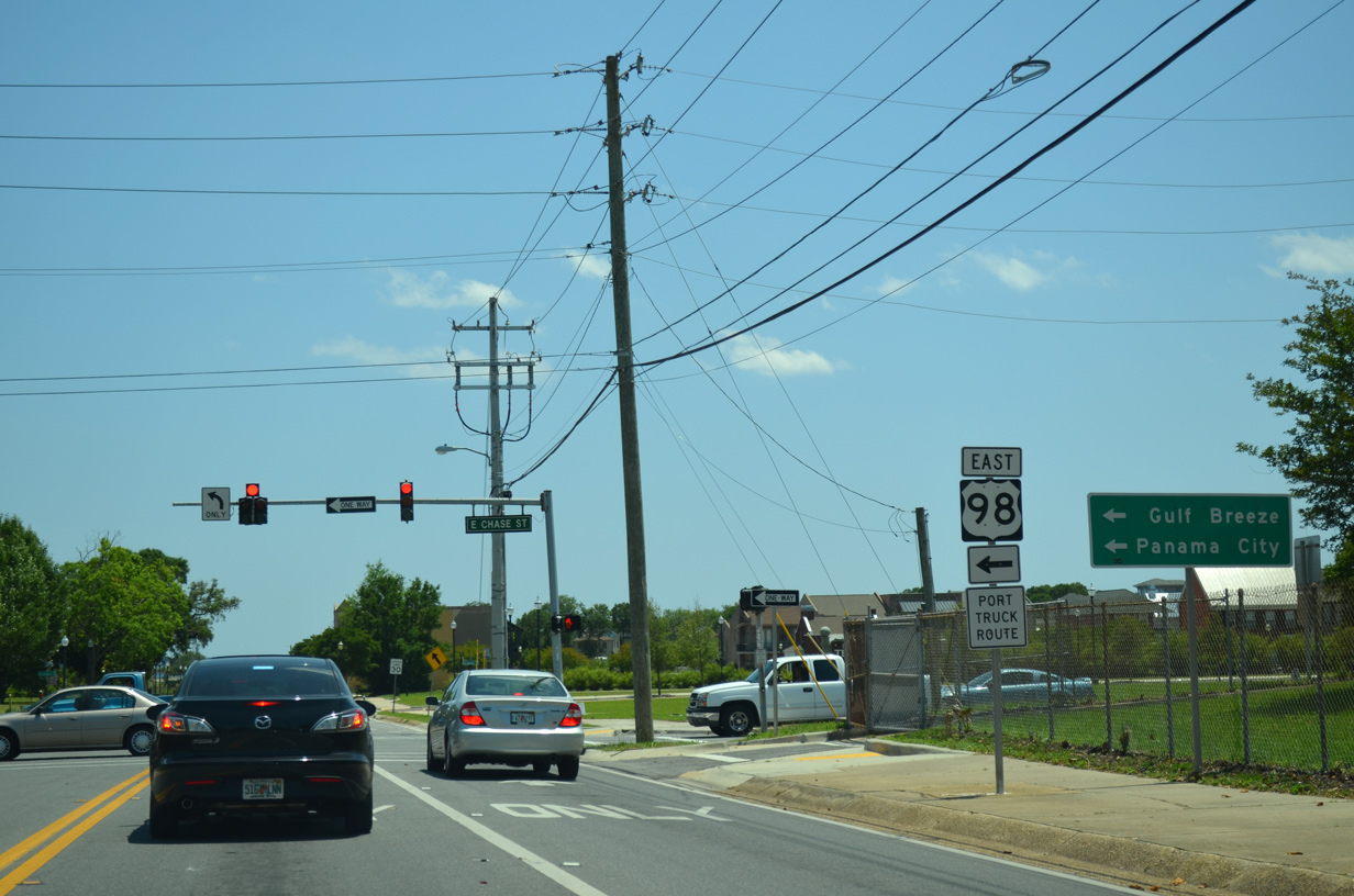
Motorists bound for Interstate 110 north are directed into the left lanes of U.S. 98 ahead of the merge with Bayfront Parkway. U.S. 98 west utilizes Gregory Street two blocks to the north; Gregory Street connects with the freeway by the Pensacola Bay Center.
05/16/14
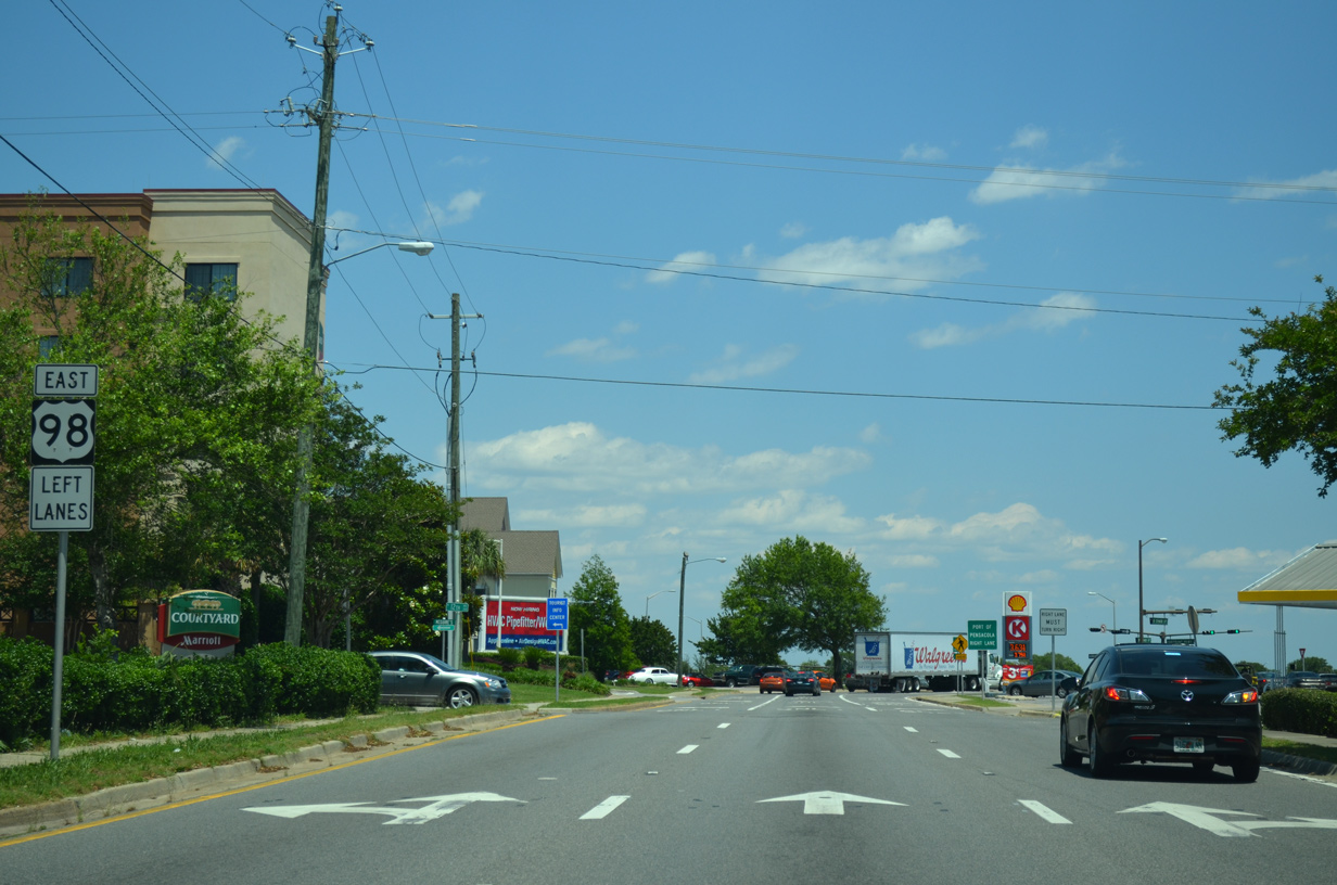
Two lanes of Chase Street eastbound default onto Bayfront Parkway and U.S. 98 east to the Pensacola Bay Bridge. The right lane joins SR 196 (Bayfront Parkway) west to Main Street and Downtown.
05/16/14
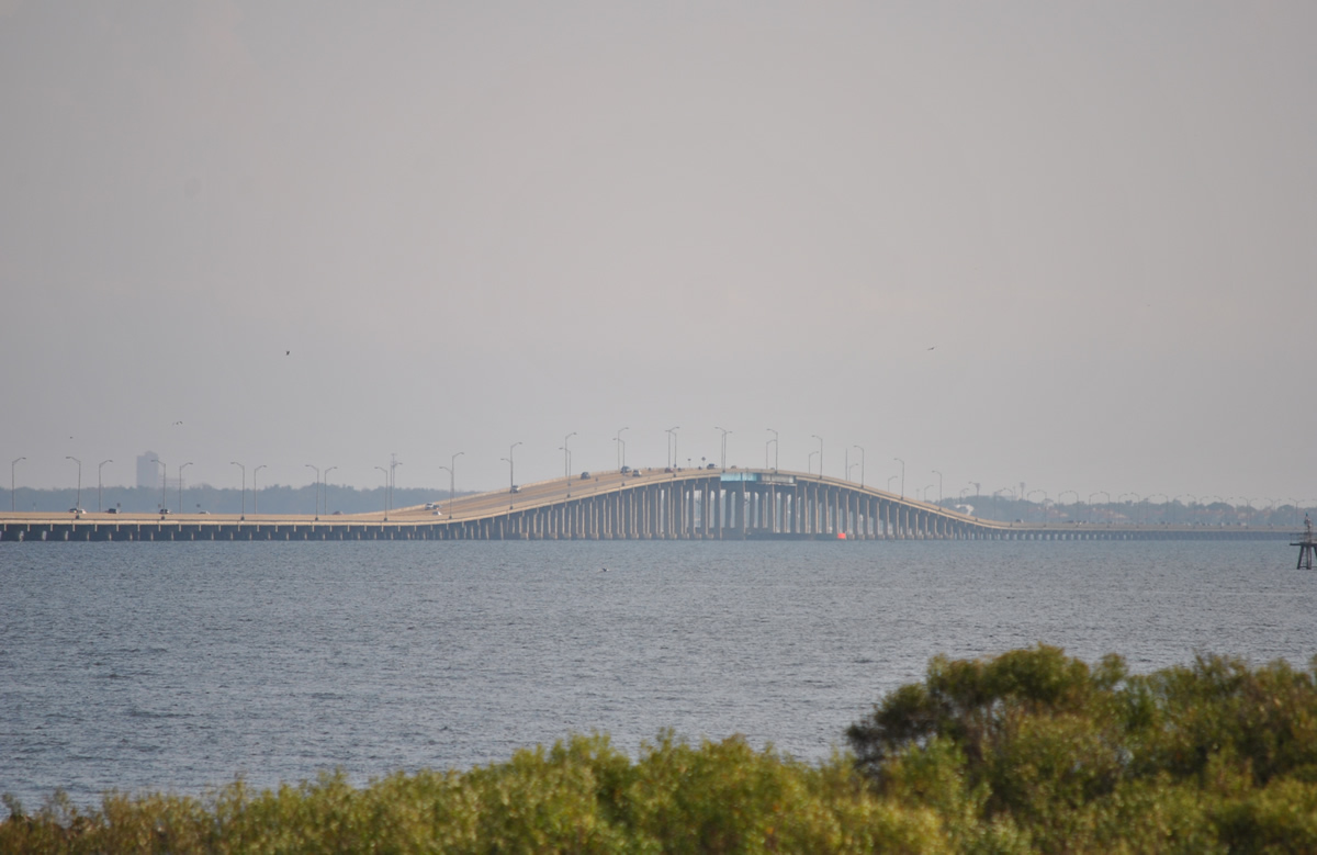
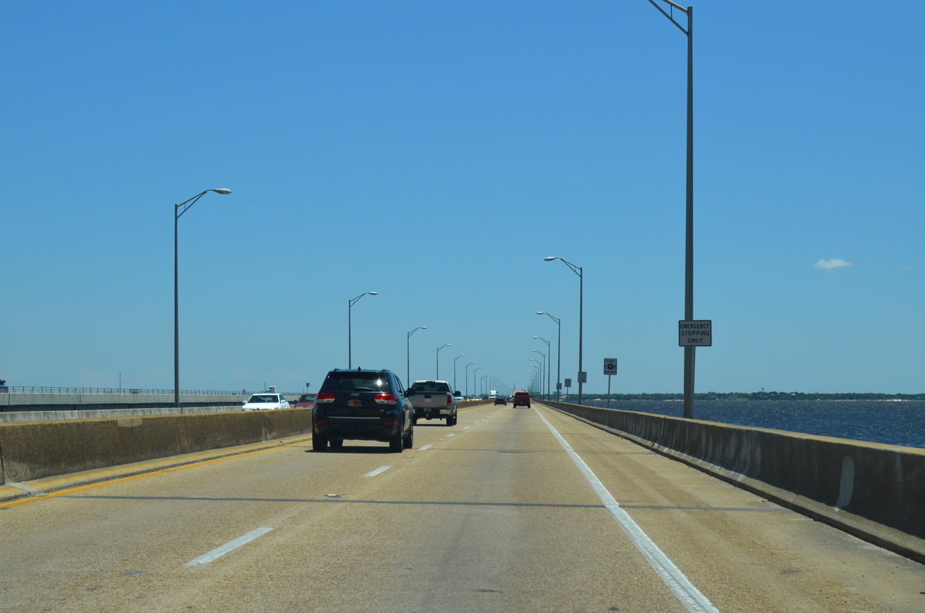
Bayfront Parkway hugs the north shore of Pensacola Bay. Eastbound drivers are afforded an open view of the bay and the approaching Three Mile Bridge across the bay.
01/01/12
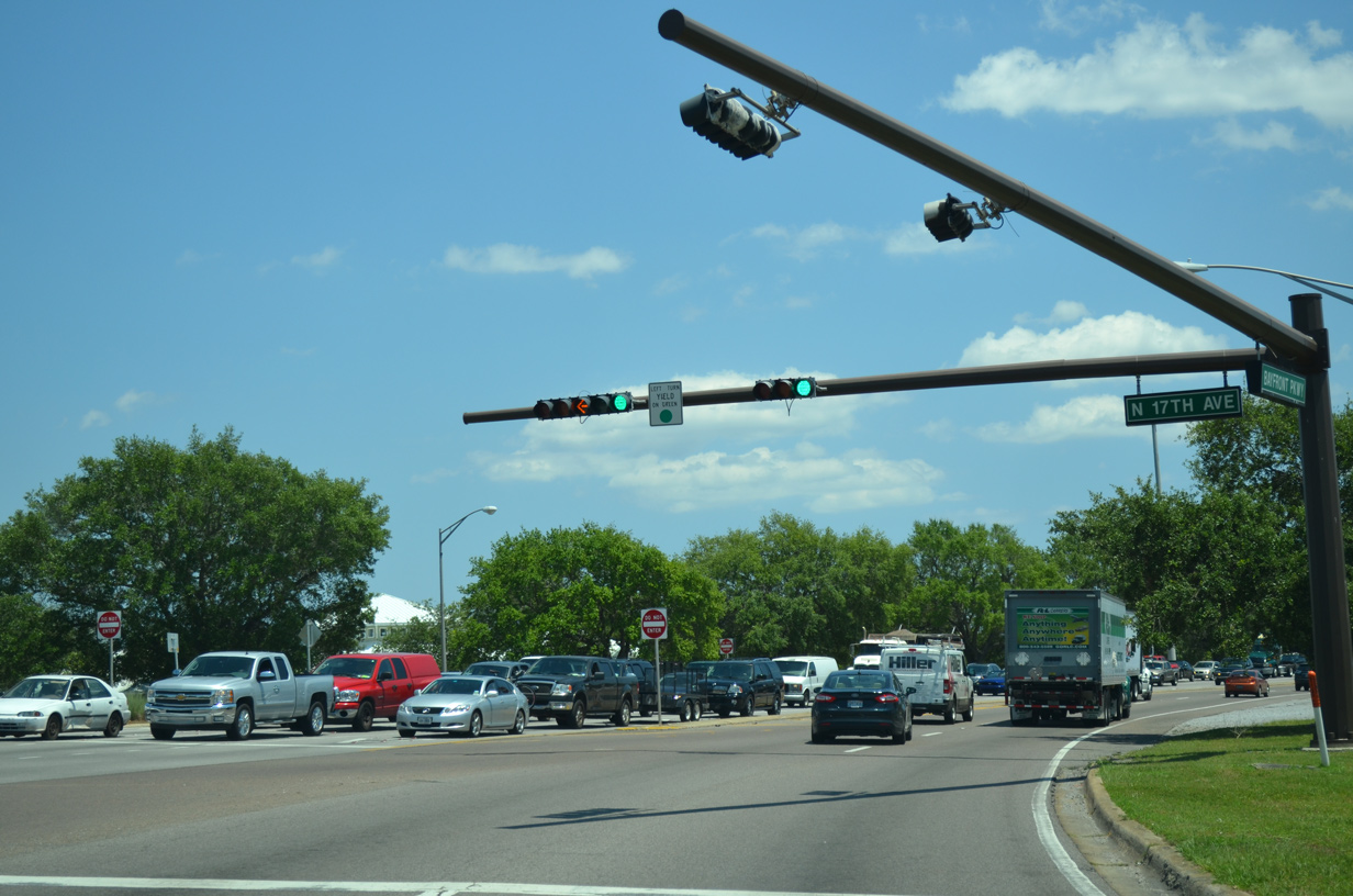
Separate roadways of U.S. 98 combine ahead of 17th Avenue and the Pensacola Bay Bridge. 17th Avenue is a two lane connector linking U.S. 98 and U.S. 90 (Cervantes Street). Historically the street represented the western extent of U.S. 98, prior to the 1955 westward extension.
05/16/14
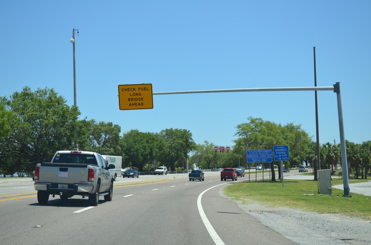
Advisory signs warned motorists of running out of fuel across the narrow Three Mile Bridge to Gulf Breeze. A $427 million project underway through mid-2021 replaced the substandard span with a pair of three-lane spans.1 Work on the new Pensacola Bay Bridge coincides with the 17th Avenue Interchange Project. The grade separation at 17th Avenue will eliminate the traffic light and improve traffic flow.2
05/16/14
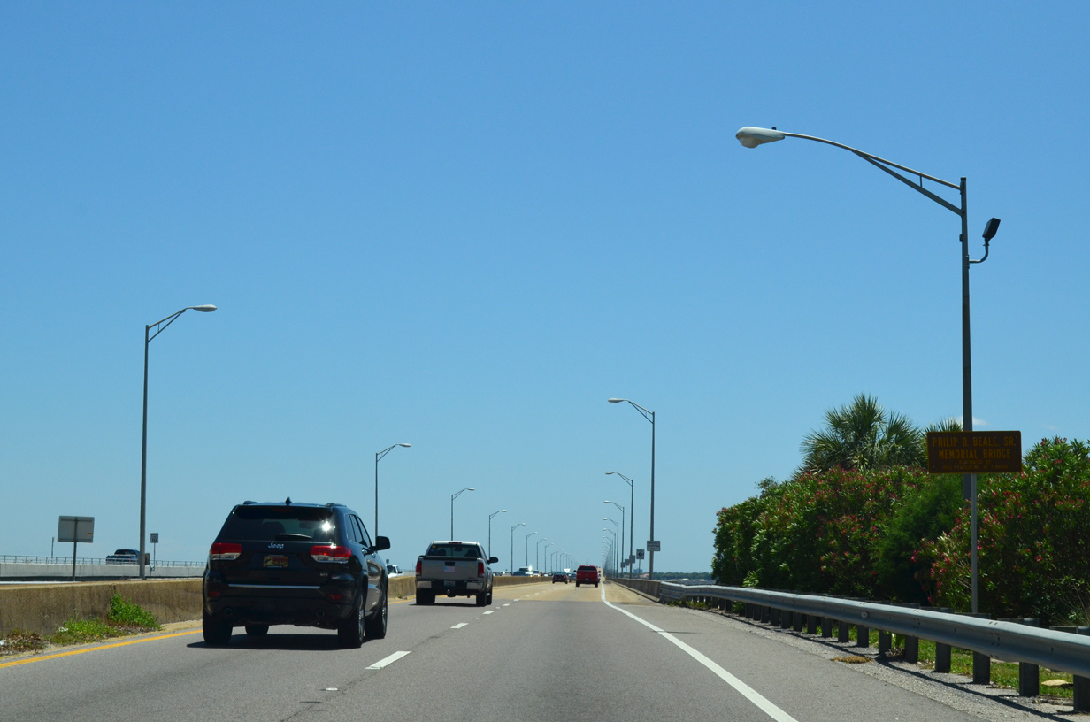
U.S. 98 curved southward by Wayside Park onto the Pensacola Bay (Philip D. Beall, Sr. Memorial) Bridge. The four lane span opened to traffic in October 1960.
05/15/14
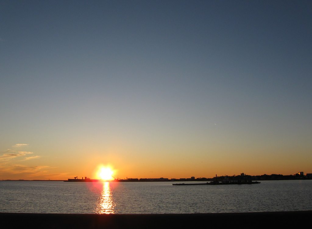
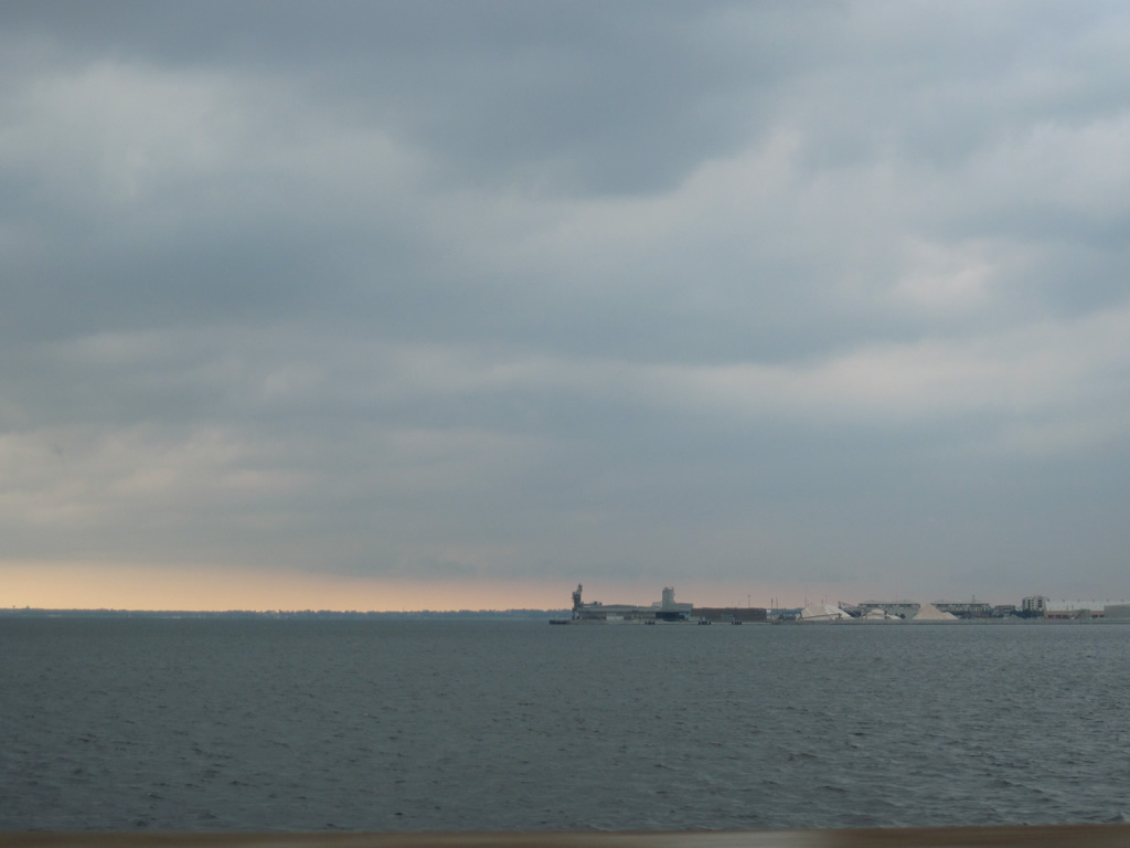
Looking west from Pensacola Bay Bridge at a former railroad wharf and the distant Port of Pensacola. Pensacola Naval Air Station lines the western horizon.
01/03/10
05/29/10
The eventual eastbound Pensacola Bay Bridge was built along the west side of the old crossing. It opened with two-way traffic on September 8, 2019, allowing crews to demolish the 1960 bridge and construct the future westbound bridge.1
05/16/14
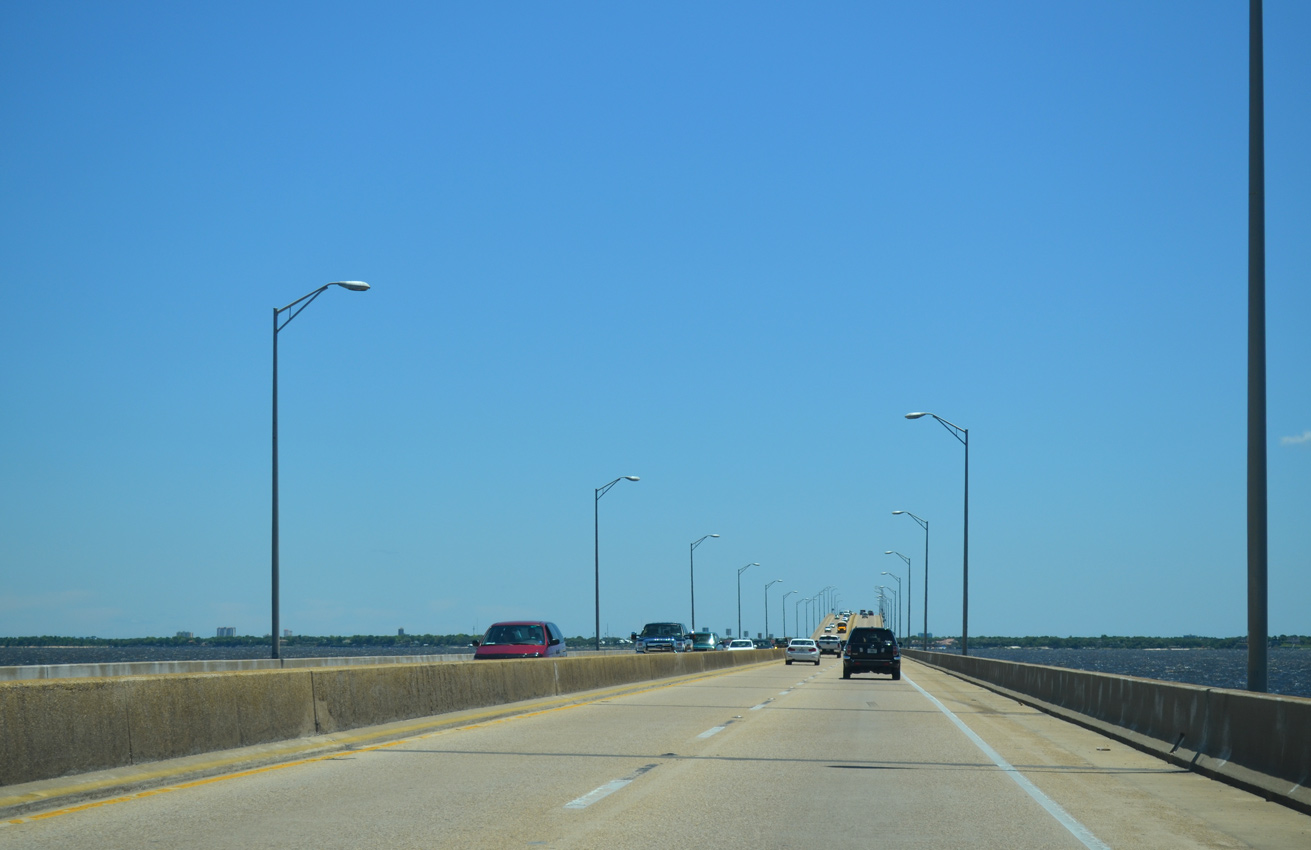
Upon completion in mid-2021, the new Pensacola Bay Bridge will provide three 12-foot travel lanes per direction, with 10 foot inside and outside shoulders on each span. Additionally two 10 foot wide shared-use paths will allow bicyclists and pedestrians to use U.S. 98 between Pensacola and Gulf Breeze for the first time.1
05/16/14


References:
- Overview – Pensacola Bay Bridge. http://www.pensacolabaybridge.com/overview Florida Department of Transportation, project website.
- "FDOT to Begin 17th Avenue Interchange Project Ahead of Schedule." Escambia County, Florida, news release. June 8, 2018.
Photo Credits:
- ABRoads: 01/03/10, 05/15/14, 05/16/14
- Alex Nitzman: 05/09/04, 01/01/12
- AARoads: 05/29/10
Connect with:
Page Updated Tuesday August 28, 2018.