
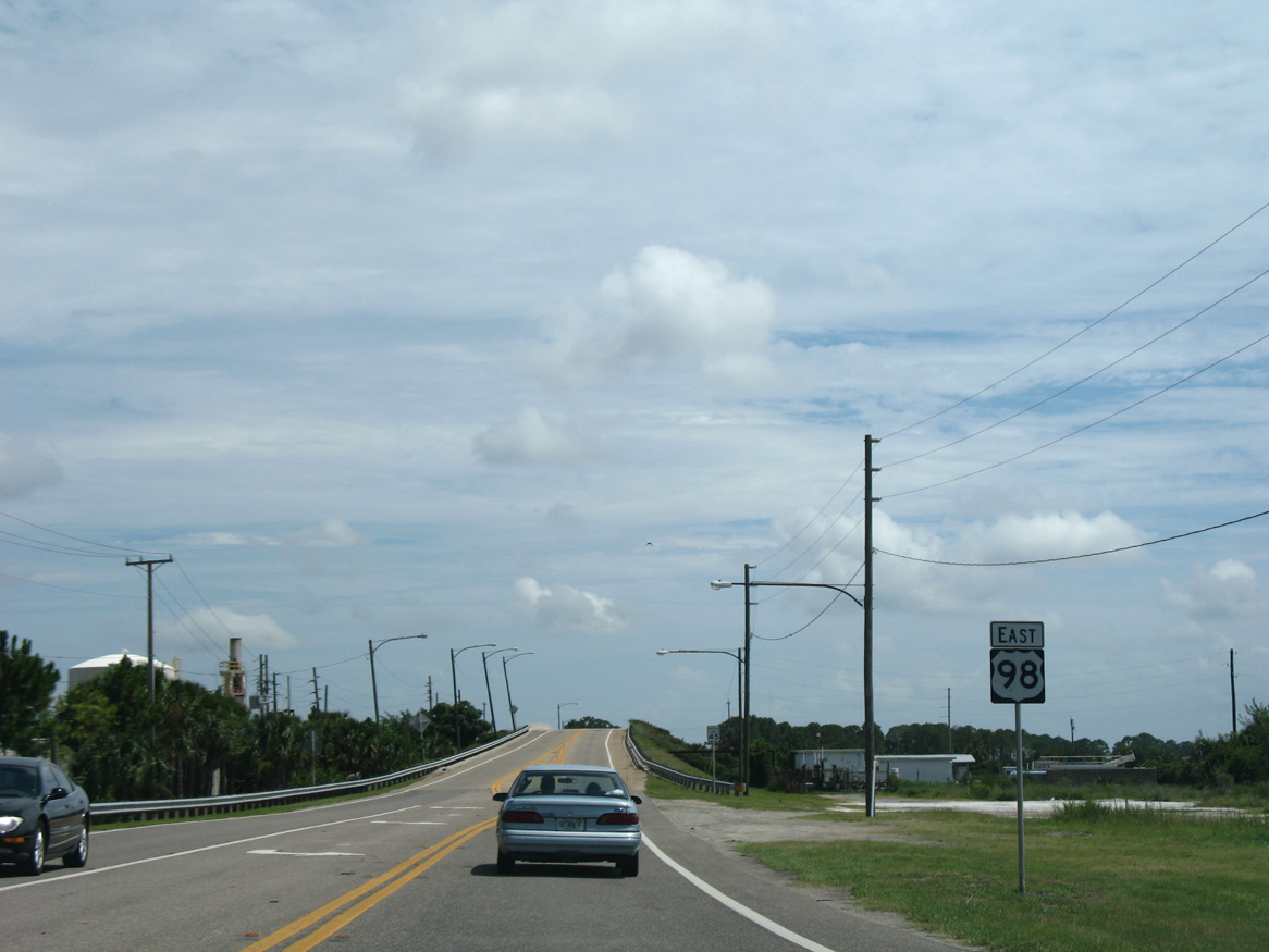
U.S. 98 East - Gulf County

 East
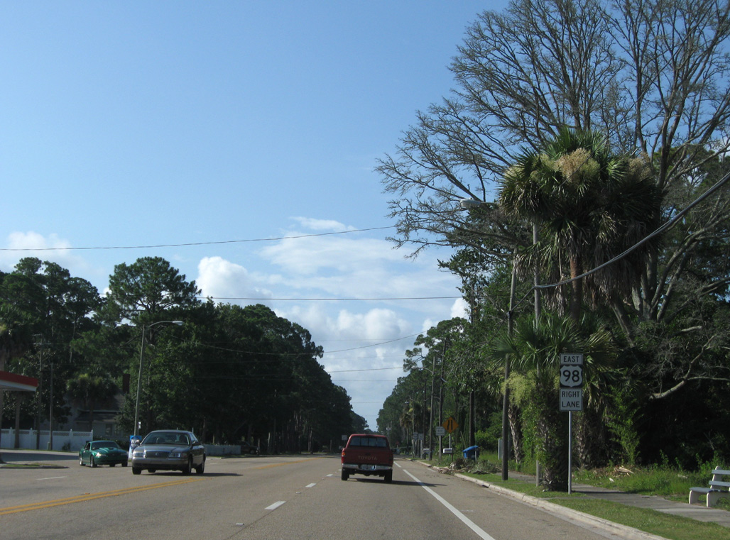
EastU.S. 98 east enters the community of Beacon Hill from Mexico Beach and Bay County.
06/27/09
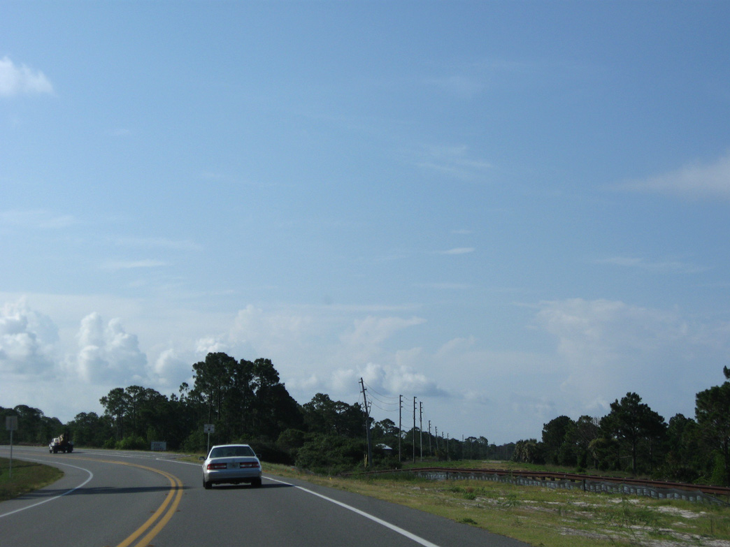
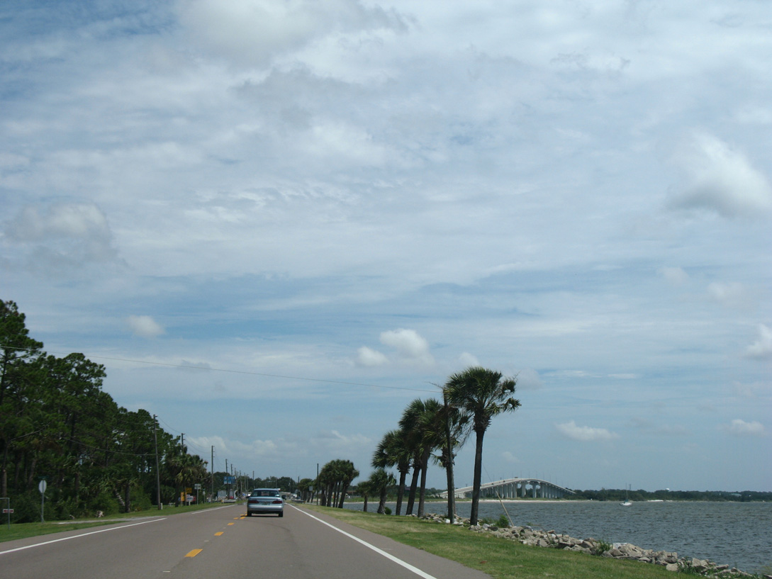
Continuing south along the beachfront of St. Joseph Bay, U.S. 98 advances from Beacon Hill to the community of Saint Joe Beach. This area was hard hit by Hurricane Michael, which came ashore here on October 10, 2018.
08/03/08
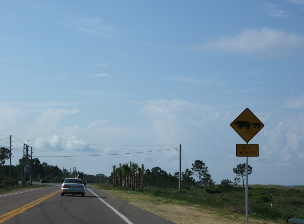
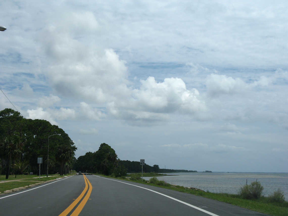
Leaving Saint Joe Beach, U.S. 98 transitions into rural areas west of Panther Swamp.
06/27/09
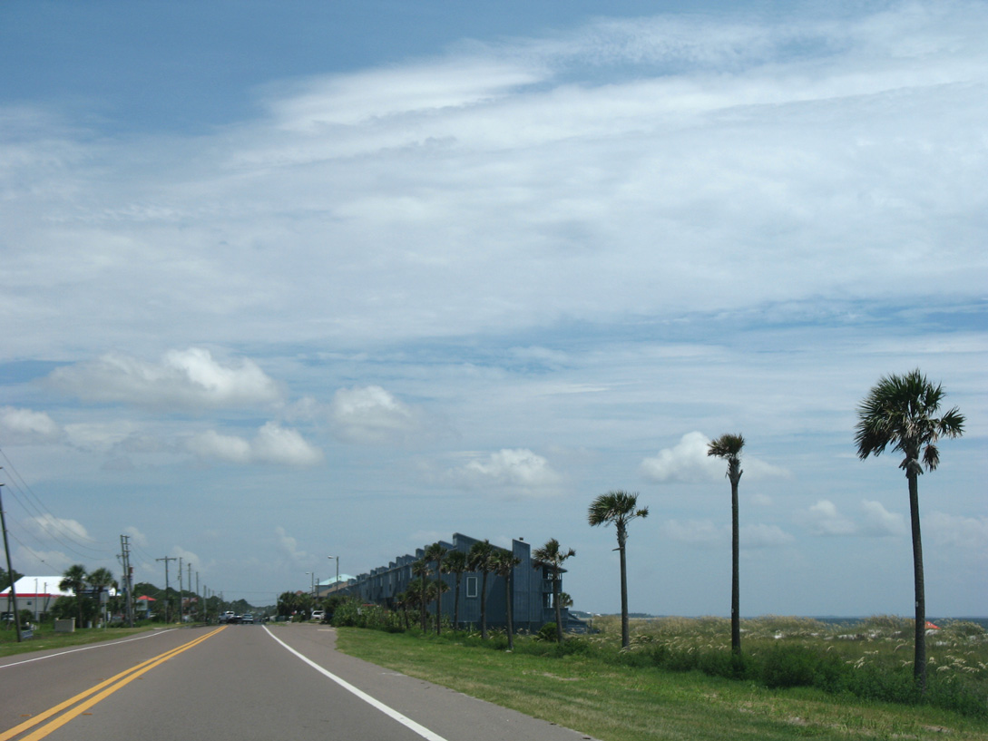
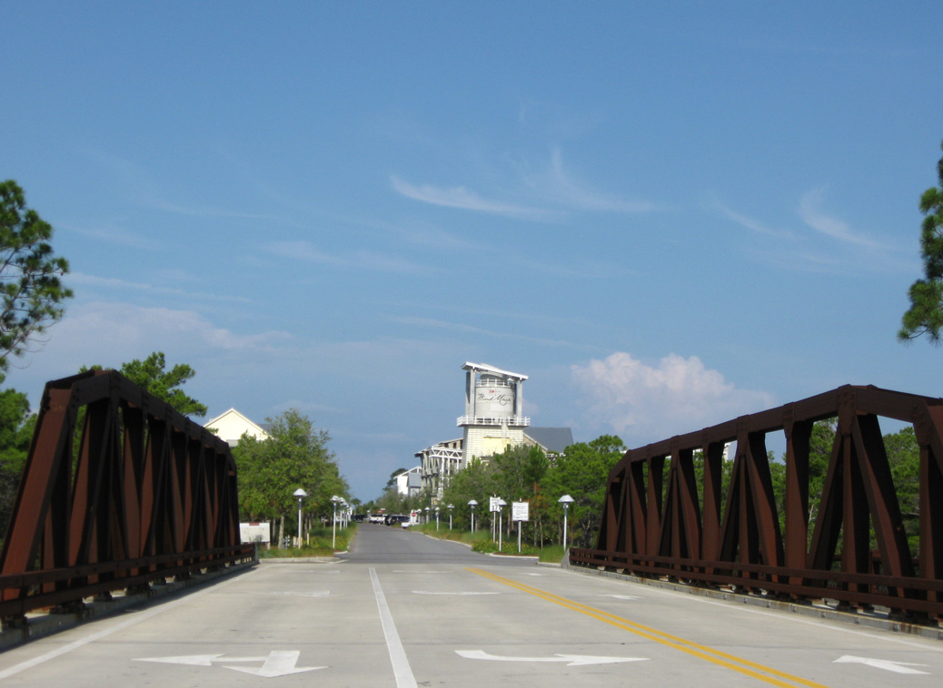
U.S. 98 was realigned away from the St. Joseph Bay coastline in 2007-08. Portions of the old roadway were repurposed as a walking trail, and two sections are now local streets in the Windmark Beach development.
06/27/09
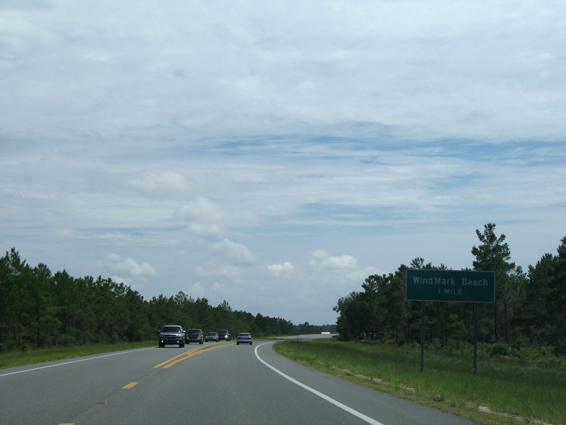
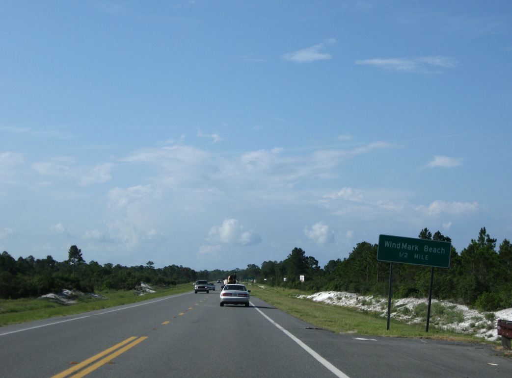
The main entrance to Windmark Beach is Good Morning Street, located one mile ahead from this guide sign. Discovery Lane stems west from U.S. 98 to the north side of the community from the ensuing intersection.
08/03/08
U.S. 98 continues a half mile south from Discovery Lane to Good Morning Street. Discovery Lane connects with Watermark Way, a former section of U.S. 98.
06/27/09
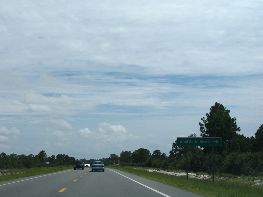
Good Morning Street spurs west from U.S. 98 to the Windmark Beach town center.
08/03/08
06/27/09
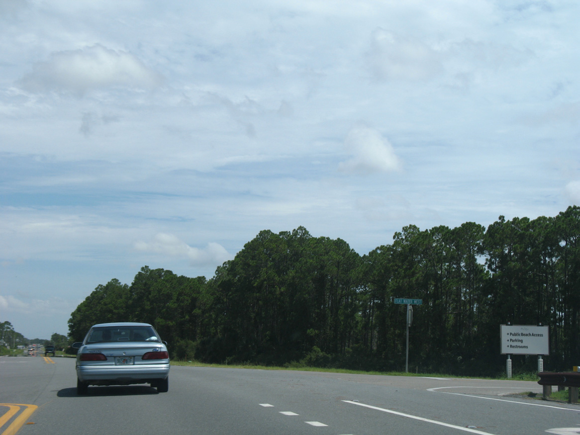
Flat Water Street West follows old U.S. 98 northwest to a public beach access point and southern areas of Windmark Beach. U.S. 98 resumes along its original right of way southward from here to Palm Point.
08/03/08
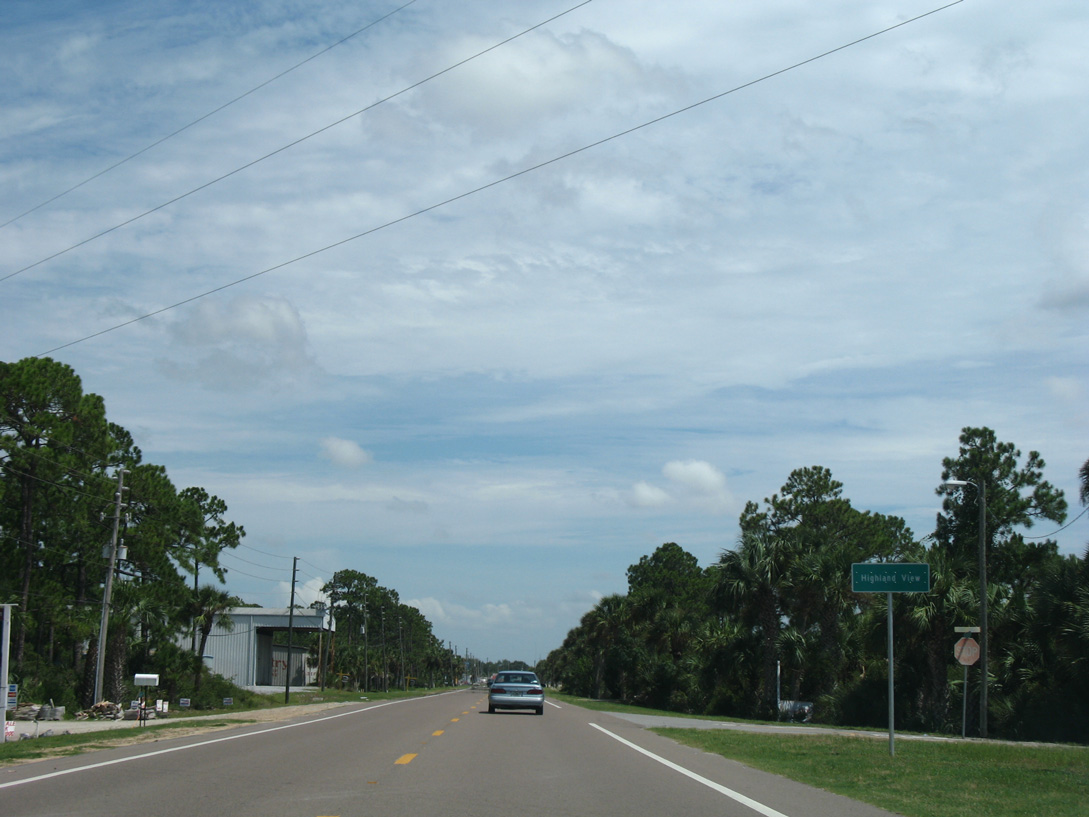
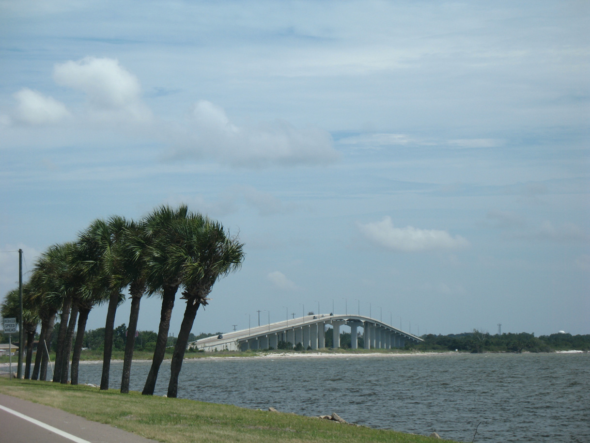
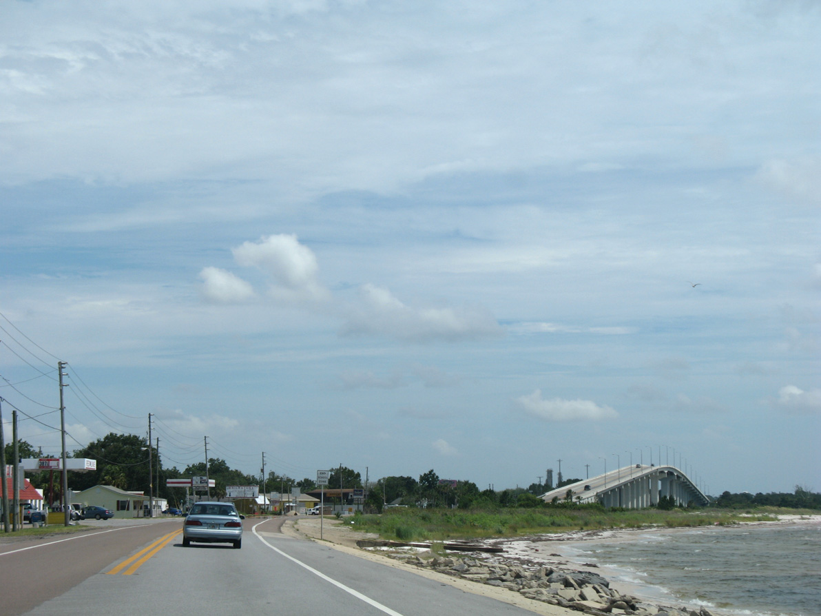
Eastbound travelers along U.S. 98 next pass through the seaside community of Highland View.
08/03/08
The high rise bridge across the Gulf County Canal comes into view as U.S. 98 runs directly along the St. Joseph Bayshore through Highland View.
08/03/08

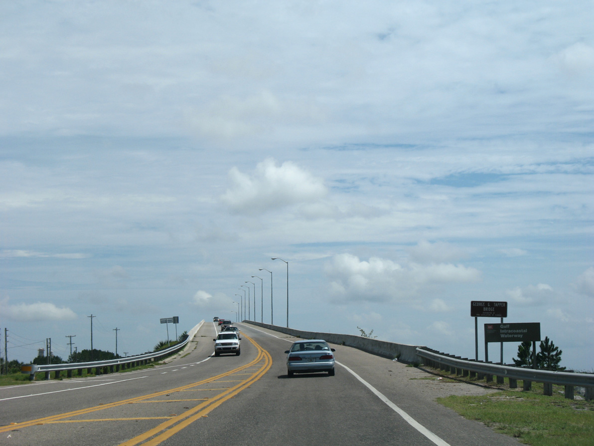
The George G. Tapper Bridge spans Gulf County Canal (Intracoastal Waterway) at the city of Port St. Joe. The 2,600 foot long bridge was completed in 1993.1
08/03/08
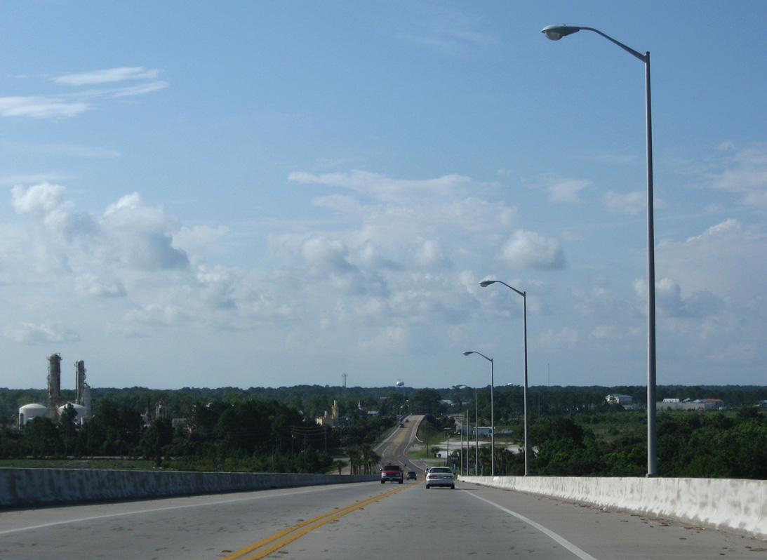
The U.S. 98 high rise bridge across Gulf County Canal tops out at 75 feet.1
06/27/09
08/03/08
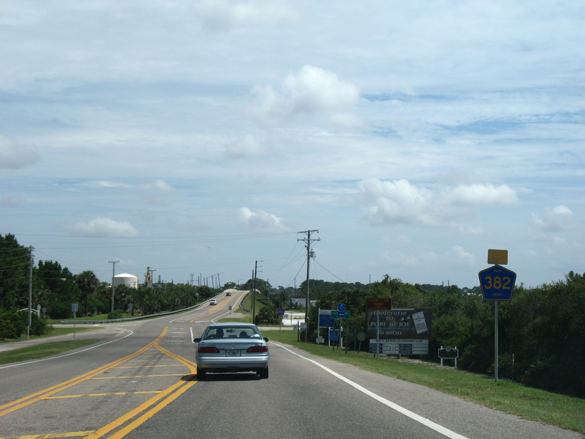
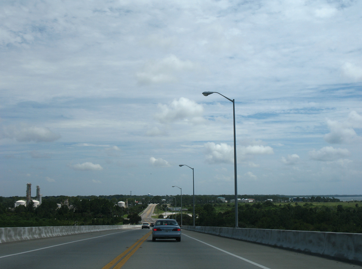
Lowering from the George G. Tapper Bridge, eastbound U.S. 98 approaches Gulf County Road 382 (Industrial Road) east.
08/03/08
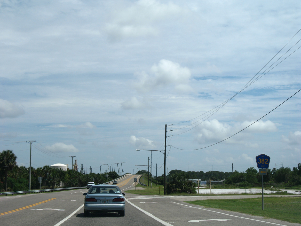
County Road 382 (Industrial Road) provides a cutoff northeast to SR 71 to Wewahitchka. The 4.14 mile long route serves the Port St. Joe Wastewater Treatment Plant and two industrial parks within the city of Port St. Joe.
08/03/08
South from CR 382, U.S. 98 elevates across a 1958-built overpass. The bridge spans a number of dismantled railroad tracks from the Apalachicola Northern Railroad and a service road ahead of Avenue D.
08/03/08
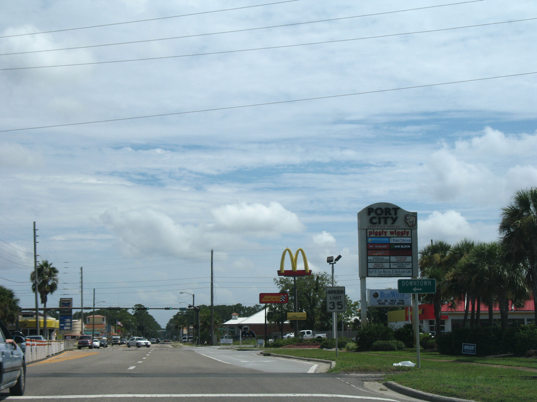
Heading south from Avenue A, U.S. 98 (Monument Avenue) enters the Port St. Joe business district along the west side of Downtown.
08/03/08
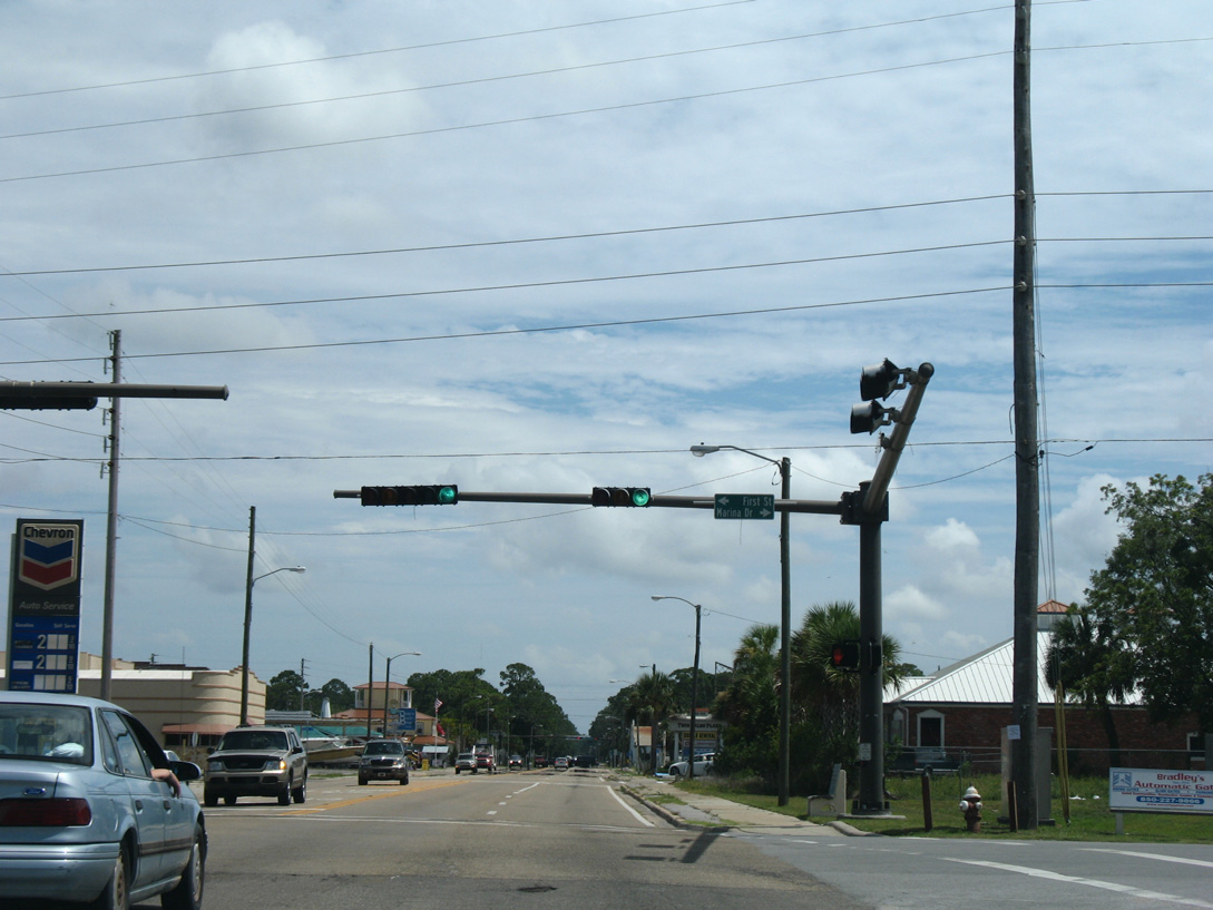
Marina Drive east and First Street come together at the first of two traffic lights along U.S. 98 in Port St. Joe.
08/03/08
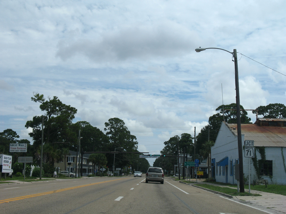
Forthcoming SR 71 follows Cecil G. Costin, Sr. Boulevard along the south side of Downtown Port St. Joe.
08/03/08
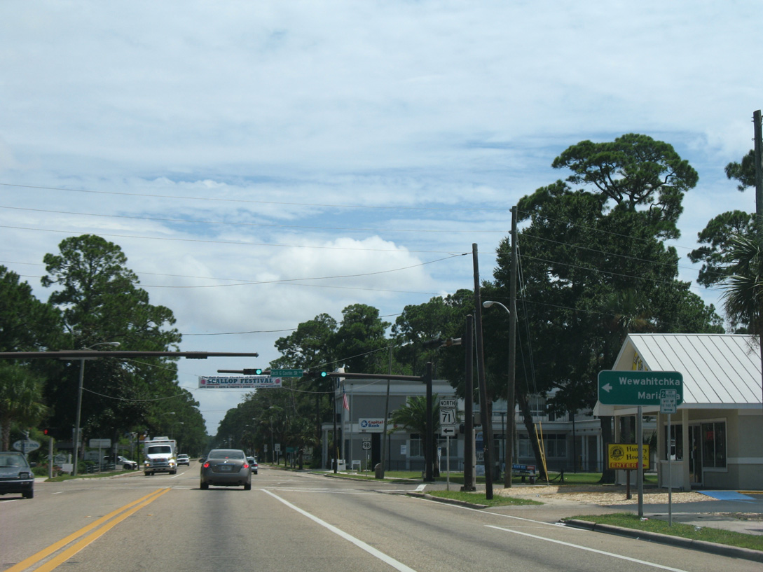
State Road 71 leads north 23 miles to the city of Wewahitchka. Mariana is 73 miles north via SR 71 and SR 73.
08/03/08
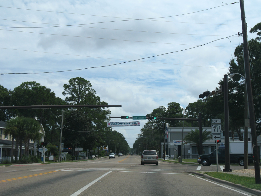
U.S. 98 (Monument Avenue) east at SR 71 (Cecil G. Costin, Sr. Boulevard). SR 71 extends 94.6 miles north from Port St. Joe to Alabama 53 at the state line north of Malone.
08/03/08
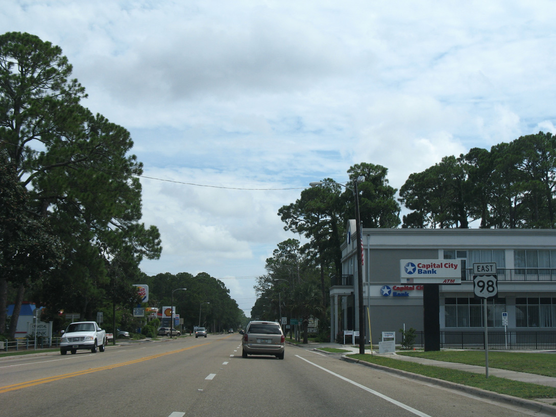
A road diet implemented along U.S. 98 in Port St. Joe by 2013 reconfigured Monument Avenue with a center turn lane and alternating on street parking and outside turn lanes in place of the previous four lanes.
08/03/08
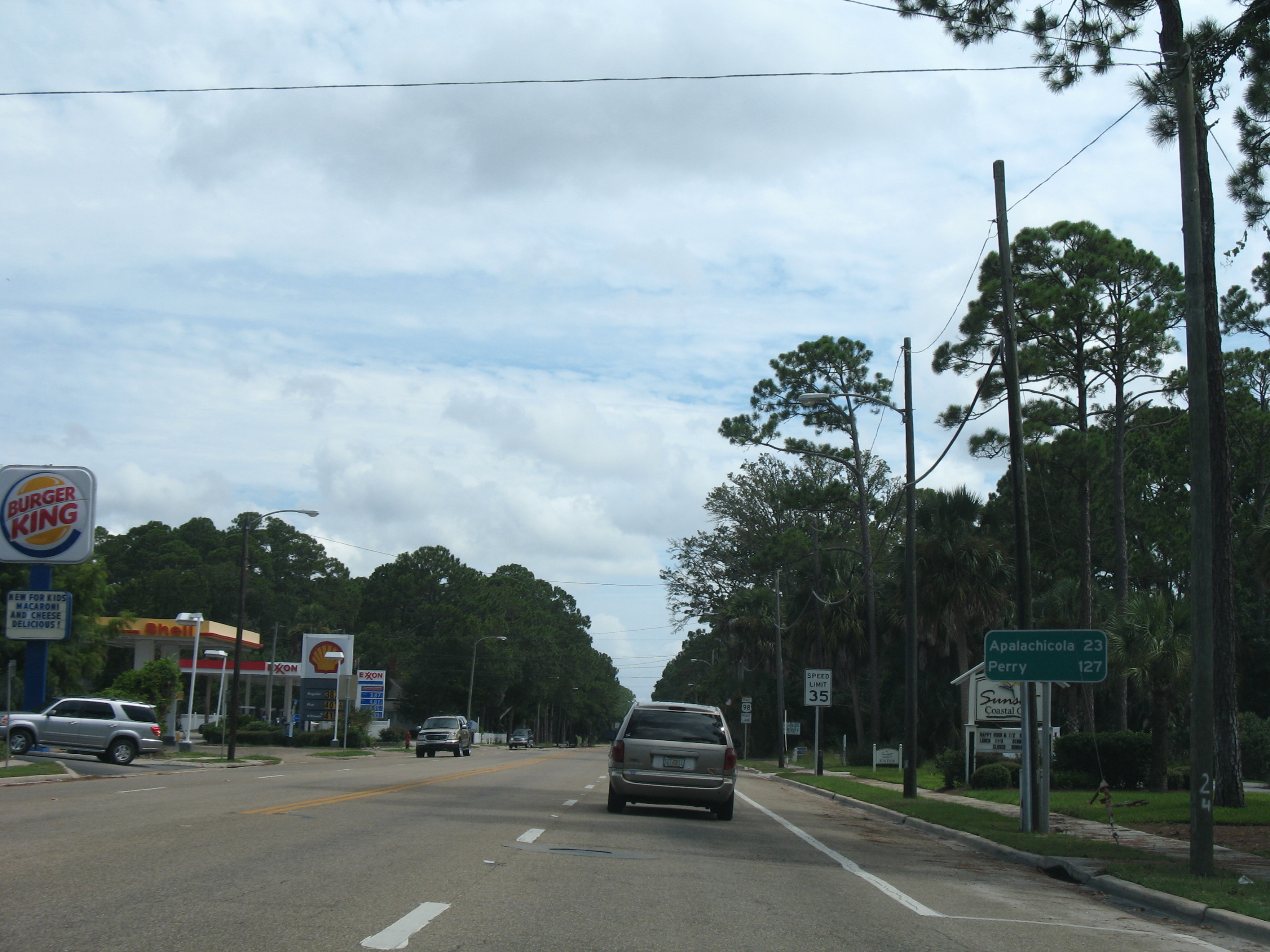
Turning southeast from Port St. Joe, U.S. 98 traverses George Washington Swamp en route to the Franklin County seat of Apalachicola in 23 miles.
08/03/08
Monument Avenue leads U.S. 98 four blocks south from SR 71, where the US highway shifts westward onto Constitution Drive.
06/27/09
08/03/08
U.S. 98 rejoins the St. Joseph Bayshore along Constitution Drive through south Port St. Joe.
08/03/08
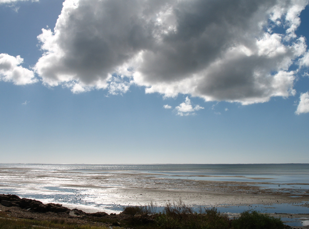
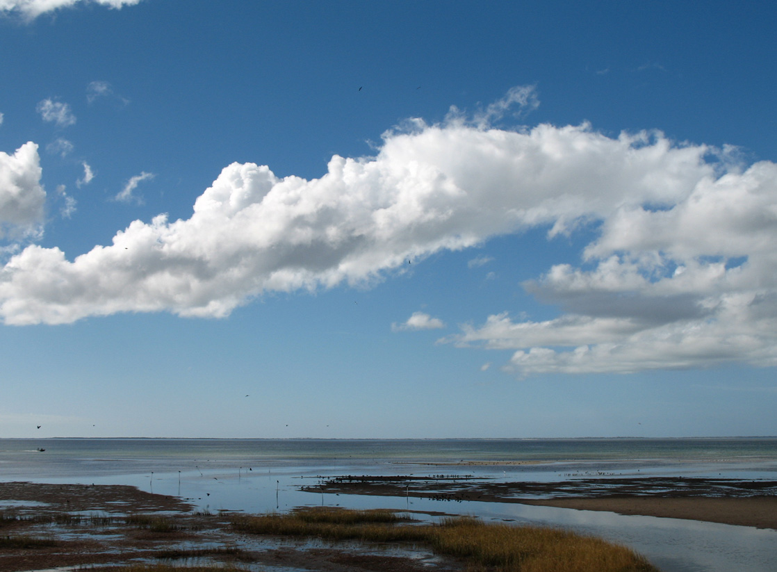
The waters of St. Joseph Bay southwest of Port St. Joe are fairly shallow, only reaching a maximum depth of around 10 feet. St. Joseph Spit, a narrow strip of land, extends northward from Cape San Blas along the horizon.
11/27/06

Unmarked along U.S. 98 (Constitution Drive) eastbound, Madison Street east to the Oak Grove community of south Port St. Joe is County Road 384. CR 384 spurs 1.815 miles east to the end of pavement by Holly Hills Cemetery.
06/27/09
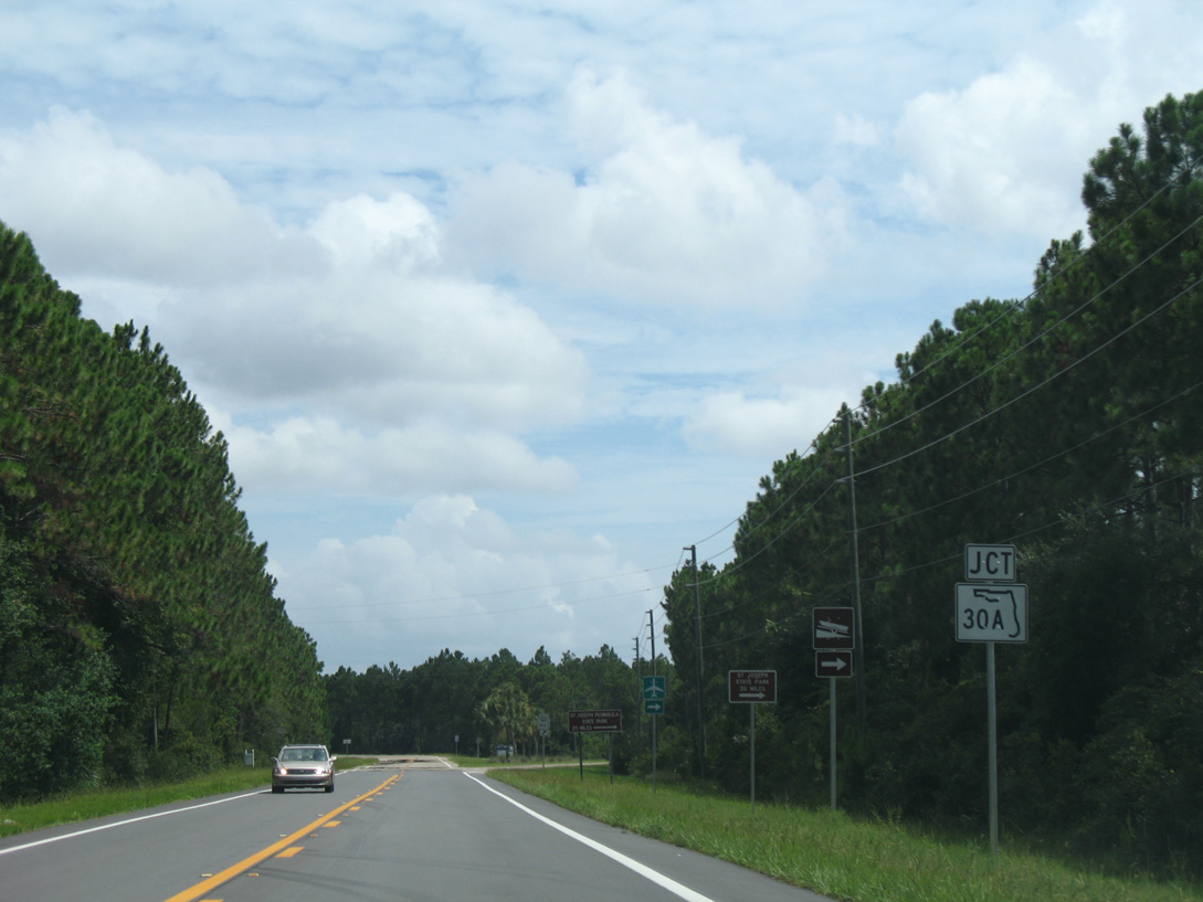
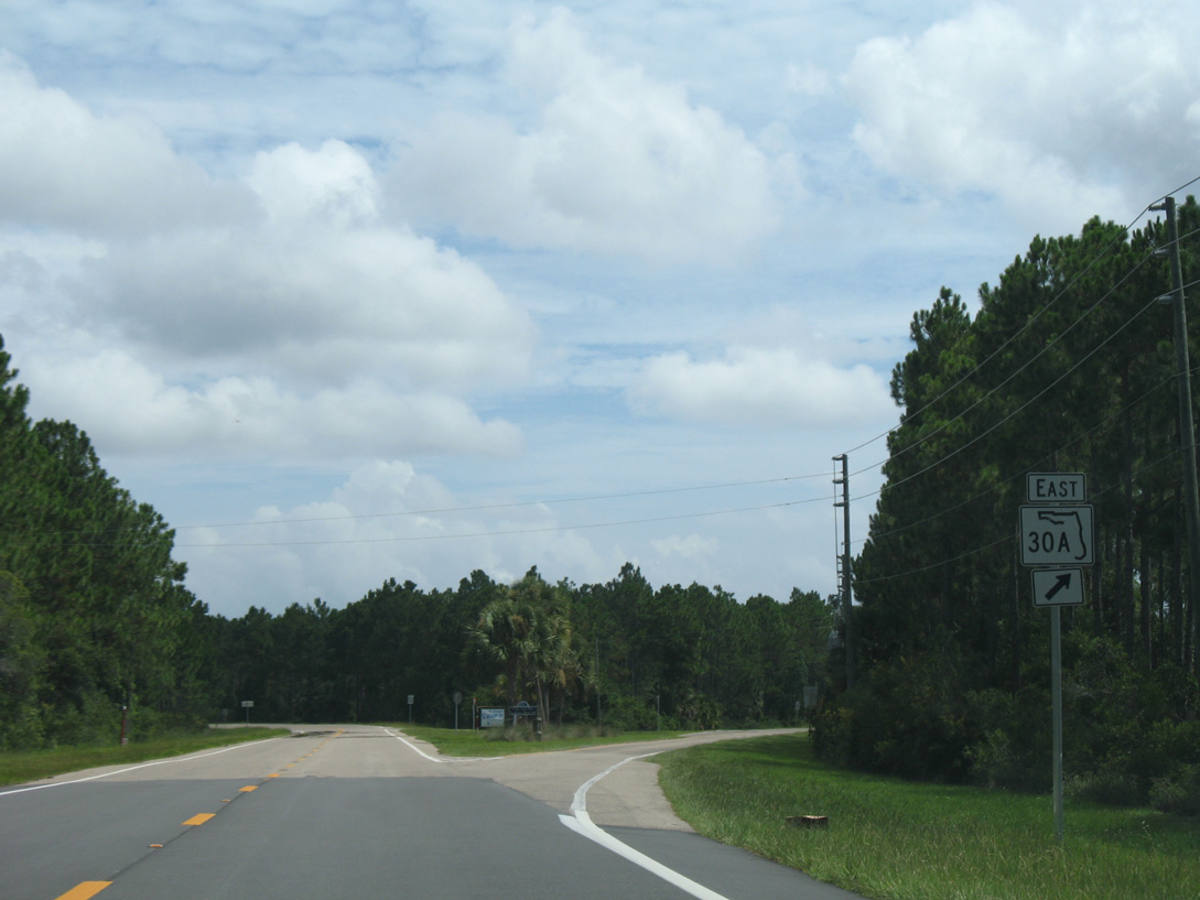
Resuming through pine forest on the outskirts of Port St. Joe, U.S. 98 progresses south and splits with SR 30A east. SR 30A follows the east shore of St. Joseph Bay to SR 30E, which spur west to Elgin A.F.B. Annex at Cape San Blas and north to St. Joseph Peninsula State Park.
08/03/08
Following the original alignment of U.S. 98, SR 30A heads 6.661 miles south to SR 30E (San Blas Road). CR 30A takes over from there 5.803 miles to the Franklin County line.
08/03/08
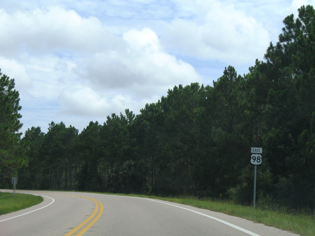
U.S. 98 curves eastward and reenters the Port St. Joe city limits beyond SR 30A.
08/03/08

Garrison Avenue angles southeast from SR 71 (Cecil G. Costin, Sr. Boulevard) and the Port St. Joe street grid to Oak Grove. County Road 30A lines the avenue 2.087 miles from 16th Street to U.S. 98.
08/03/08
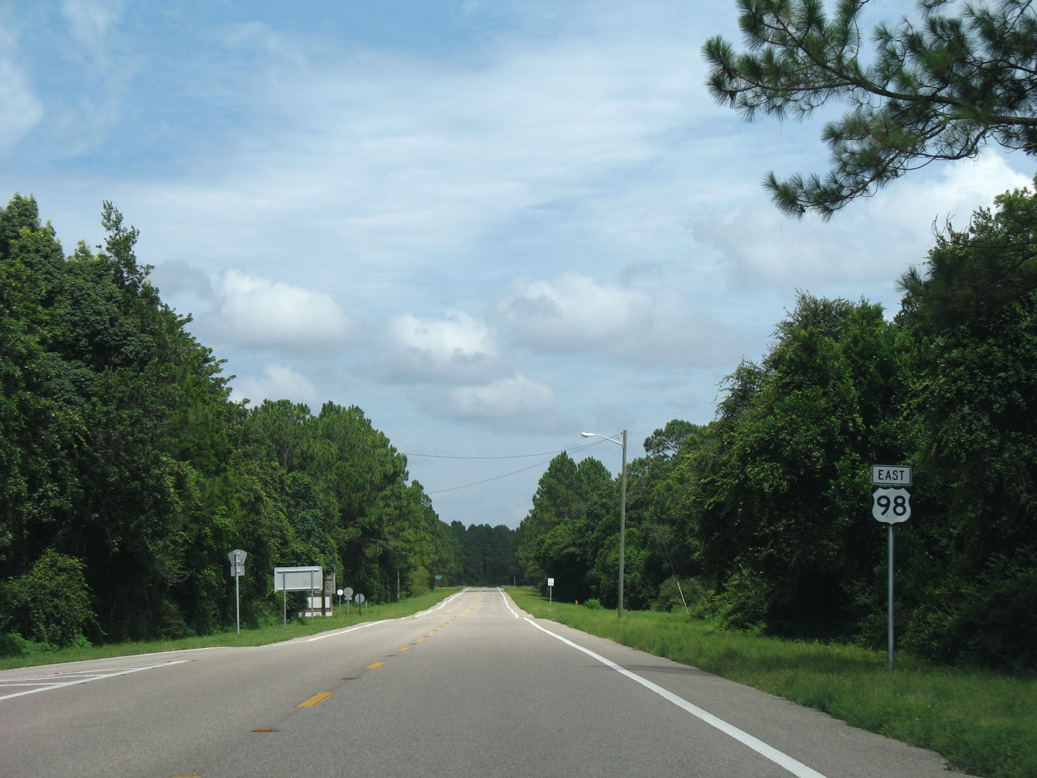
Continuing east from CR 30A (Garrison Avenue), U.S. 98 crosses George Washington Swamp.
08/03/08
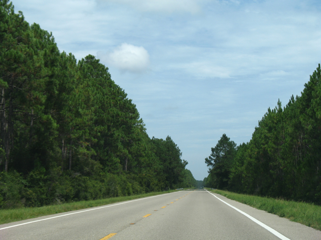
Back to back long straight aways take U.S. 98 southeast across timber land and swamps parallel to the Apalachicola Northern Railroad.
08/03/08
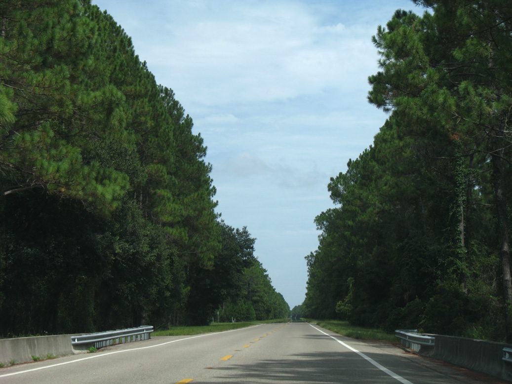
Crossing Depot Creek, midway between the Port St. Joe city line and Franklin County on U.S. 98 east.
08/03/08
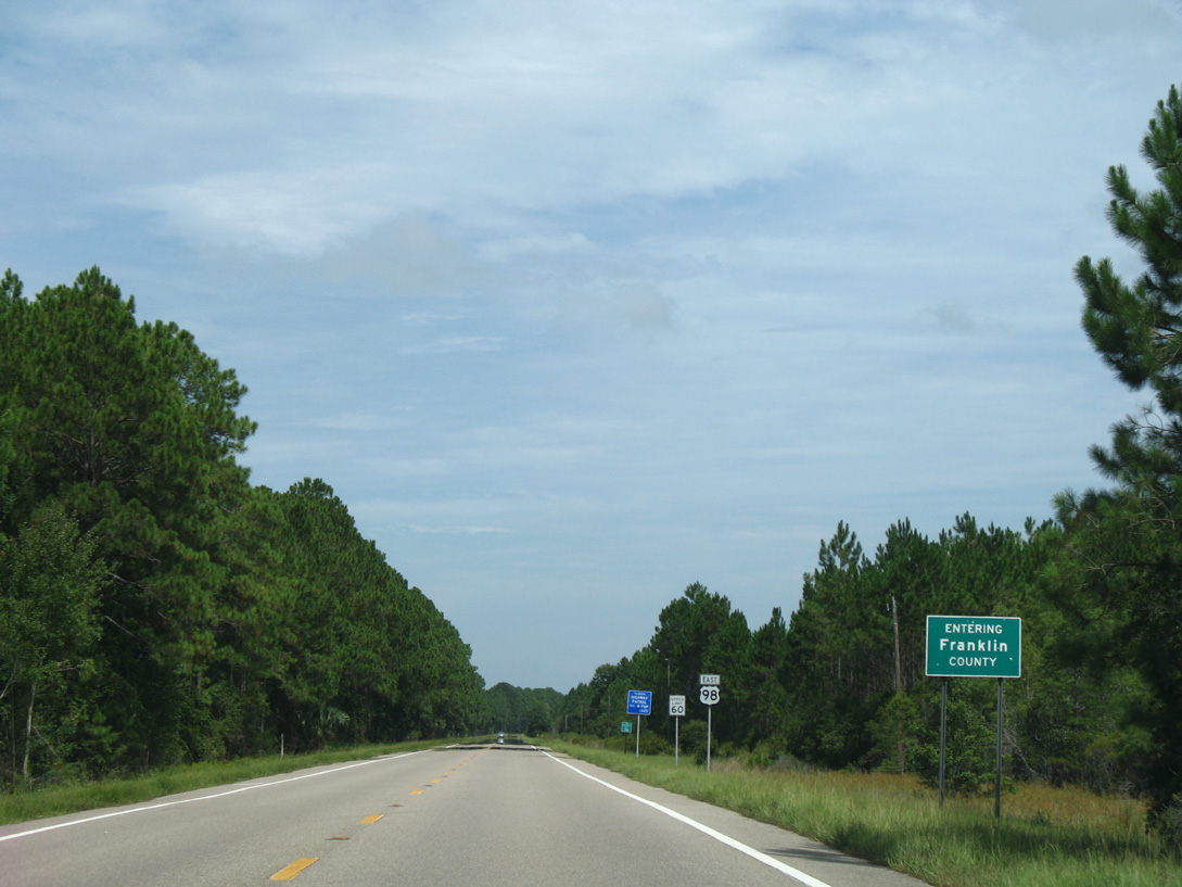
Motorists along U.S. 98 east enter Franklin County in a remote area east of the Apalachicola Northern Railroad siding of Odena.
08/03/08
References:
- US 98 SR 30 over Gulf County Canal, Gulf County, Florida. http://bridgereports.com/1082912 BridgeReports.com
Photo Credits:
- ABRoads: 06/27/09
- Alex Nitzman: 08/03/08
- Alex Nitzman, Justin Cozart: 11/27/06
Page Updated Friday October 12, 2018.