
U.S. 280

U.S. 280 in Georgia measures 247.19 miles in length from the Chattahoochee River at Columbus to U.S. 80/SR 26-30 at Blitchton outside Savannah. Until 1941, U.S. 280 continued east alongside U.S. 80 to U.S. 17 in Savannah.
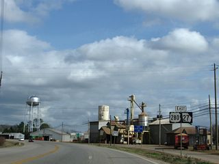
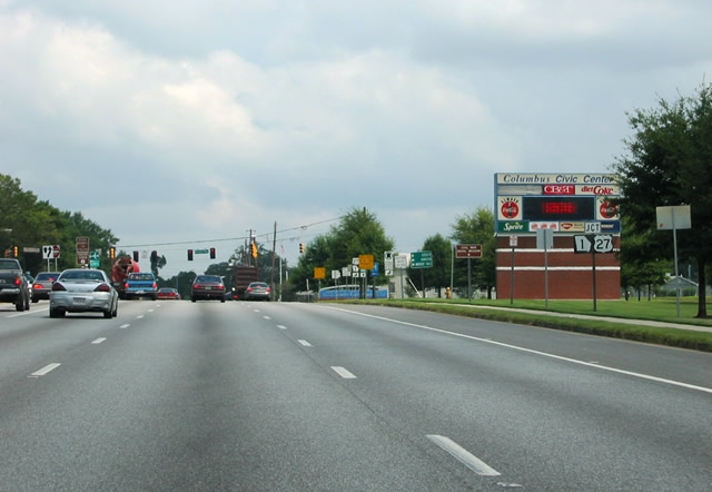
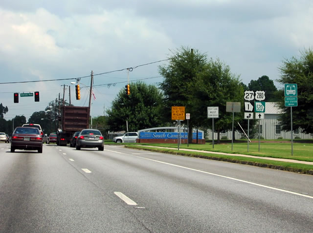
U.S. 280/SR 520 extends 0.44 miles east from the Alabama state line to combine with U.S. 27/SR 1 (4th Avenue) south of Downtown Columbus. U.S. 27/280 and SR 1/520 overlap 16.95 miles southeast, meeting the south end of I-185 before crossing Fort Benning en route to Cusseta.
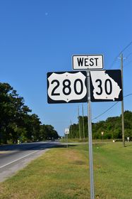
U.S. 27/SR 1 branch south along a four lane corridor to Lumpkin, Cuthbert and Blakely. U.S. 280/SR 520 head southeast to Renfroe in northern Stewart County en route to Richland. SR 520 (South Georgia Parkway) continues southeast to the Terrell County seat of Dawson while U.S. 280 joins SR 27 east to Preston and Americus.
Within Americus, U.S. 280/SR 27-49 overlaps with U.S. 19/SR 3 north 0.85 miles to SR 30 at the couplet of Forsyth and Lamar Streets through Downtown. SR 30 accompanies U.S. 280 for the remainder the route east to Blitchton in Bryan County.
U.S. 280 runs southeast from the Sumter County seat to Leslie, then east across Lake Blackshear to U.S. 41 and SR 7/90 in Cordele. U.S. 280/SR 30-90 on 16th Avenue was formerly a part of Business Loop I-75 between U.S. 41 (7th Street) and I-75 at Exit 101.
Continuing east to Rochelle in Wilcox County, U.S. 280 joins the county seats of Abbeville and McRae. U.S. 280/SR 30 overlap with U.S. 319/441-SR 31 for 2.94 miles into western Wheeler County. U.S. 280 branches east from there to Alamo, Mount Vernon and Vidalia.
U.S. 280/SR 30 parallel the Georgia Central Railroad east through the county seats of Lyons, Claxton and Pembroke. U.S. 280 angles northeast from SR 204 at Lanier to Interstate 16 at Exit 143 and U.S. 80/SR 26.
U.S. 280 Georgia Guides
East - Richland to Americus - 32 photos
East - Bryan County - 10 photos
West - Bryan County - 24 photos

 East
East
08/22/03
08/22/03
08/22/03
Photo Credits:
- Alex Nitzman, Justin Cozart: 08/22/03
Connect with:
Page Updated Thursday May 27, 2021.