
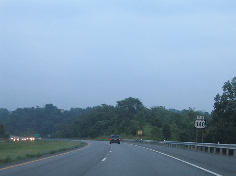
U.S. 340

U.S. 340 originates in the city of Frederick at the exchange where U.S. 15 splits with U.S. 40 on a freeway bypassing Downtown. U.S. 340 combines with U.S. 15 southwest 4.71 miles along a limited access highway. U.S. 15 turns south along Catoctin Mountain Highway while U.S. 340 remains west along Jefferson National Pike for 10.03 miles to the city of Brunswick, Knoxville and the Sandy Hook Bridge crossing the Potomac River.
U.S. 340 was realigned onto the limited access highway between Sandy Hook and Frederick, Maryland in 1968. The American Association of State Highway Officials (AASHO) approved the relocation on June 18, 1968. The Maryland State Highway Administration attempted to truncate U.S. 340 west from U.S. 40 in Frederick along the overlap with U.S. 15 to near Jefferson. The American Association of State Highway and Transportation Officials (AASHTO) disapproved of the request on June 17, 1975, stating:
The Committee voted to disapprove your application, since they felt that the overlap with U.S. 15 was not a major distance, and that motorists on either I-70, I-270, or U.S. 40 should be advised of the intersection with U.S. 340. This would require trail-blazing and would amount to as much signing as you currently have for U.S. 340.
 East
East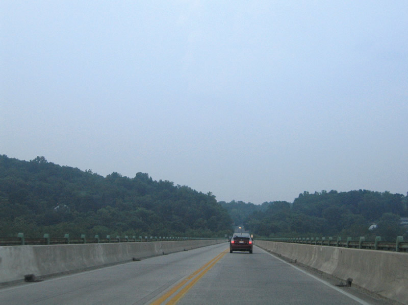
A narrow two lane bridge carries U.S. 340 across the Potomac River between Loudon Heights, Virginia and Sandy Hook. The bridge spans Sandy Hook Road on the north banks of the river.
07/16/05
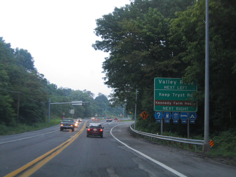
U.S. 340 almost immediately widens to a four lane expressway after the Potomac River bridge. An exit ramp departs for Keep Tryst Road east to Sandy Hook Road and Sandy Hook. Valley Road stems north from Keep Tryst Road across U.S. 340.
07/16/05
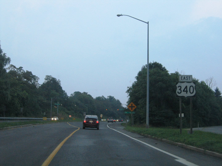
The first U.S. 340 reassurance shield posted in Maryland. MDOT posts U.S. 340 with east and west banners as opposed to north-south banners used in West Virginia.
07/16/05

Valley Road meanders northward from a set of flashers on U.S. 340, serving a handful of residences in an otherwise rural area.
07/16/05
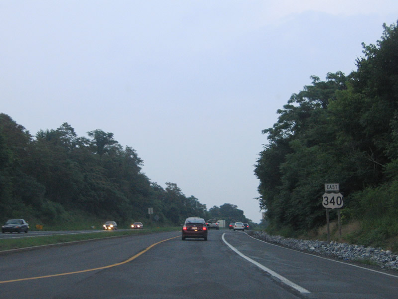
U.S. 340 transitions into a limited access freeway east of Valley Road.
07/16/05
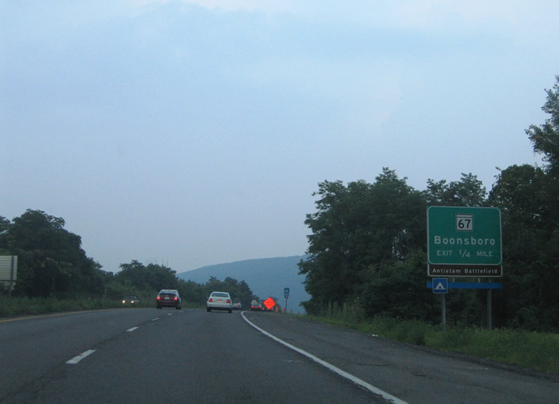
Meeting U.S. 340 next is MD 67 (Rohersville Road) north. MD 67 totals 12.20 miles between U.S. 340 and U.S. 40 Alternate outside Boonsboro.
07/16/05
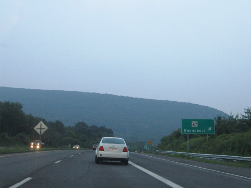
Eastbound U.S. 340 at the trumpet interchange with MD 67 (Rohersville Road) north. MD 67 provides a direct route to Gathland and Washington Monument State Parks that lies along the Washington and Frederick County lines north of U.S. 340.
07/16/05
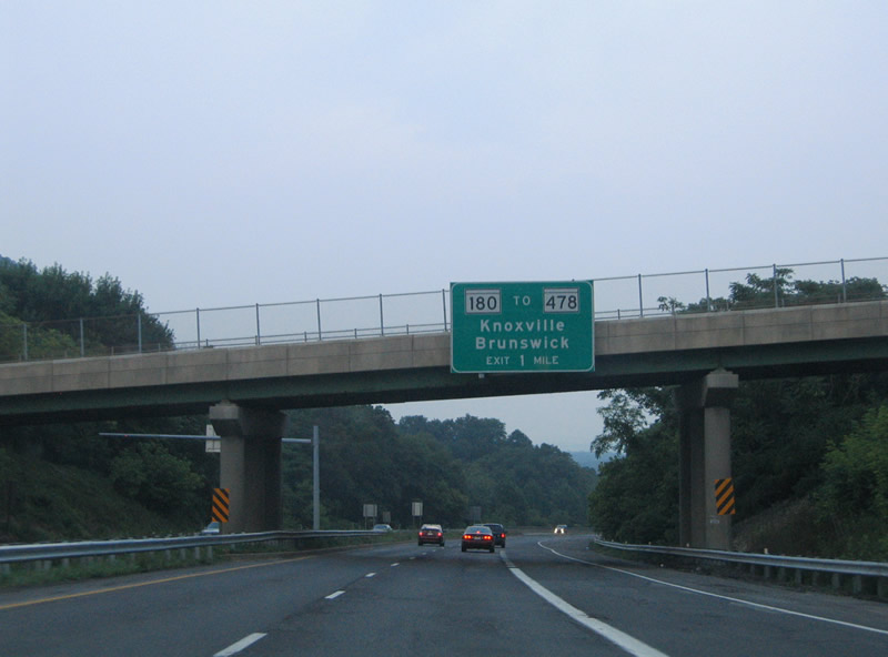
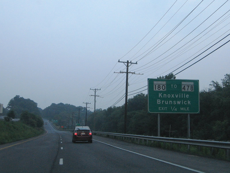
Next in line for eastbound motorists is the split with MD 180 (Jefferson Pike) to MD 478 (Knoxville Road) and Knoxville.
07/16/05
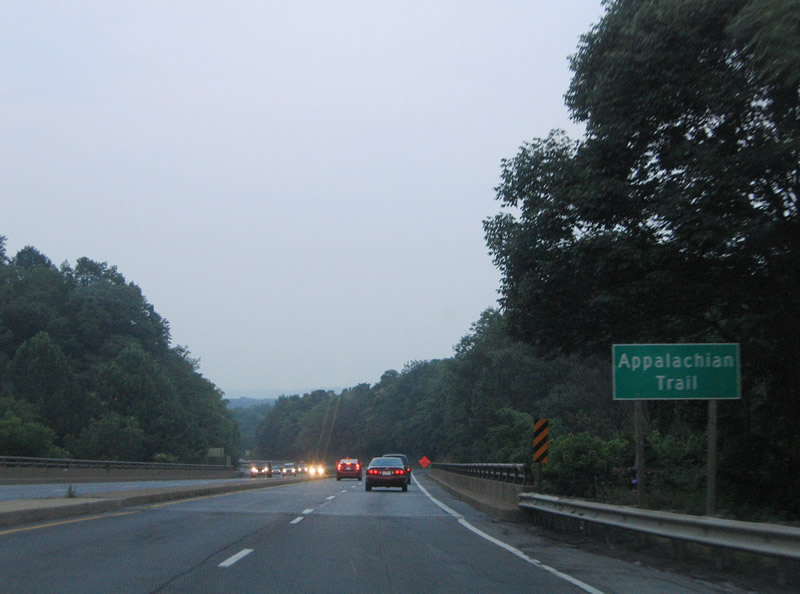
The Appalachian Trail passes under U.S. 340 at Weverton. This hiking route straddles South Mountain northward along the county line through the linear South Mountain State Park.
07/16/05
The roadways of U.S. 340 separate along different grades as the freeway straddles the end of South Mountain. A wye interchange connects the route with MD 180 east in one quarter mile.
07/16/05
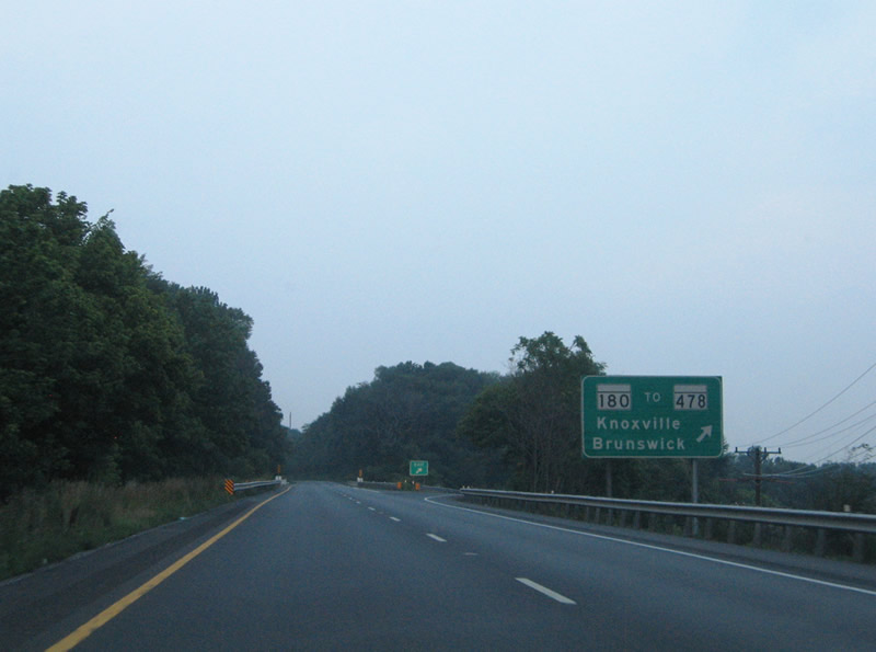
MD 180 (Jefferson Pike) follows old U.S. 340 southeast to Knoxville (MD 478) and east parallel to the freeway to Frederick. MD 478 travels just 1.88 miles between Knoxville and Florida Avenue in Brunswick.
07/16/05
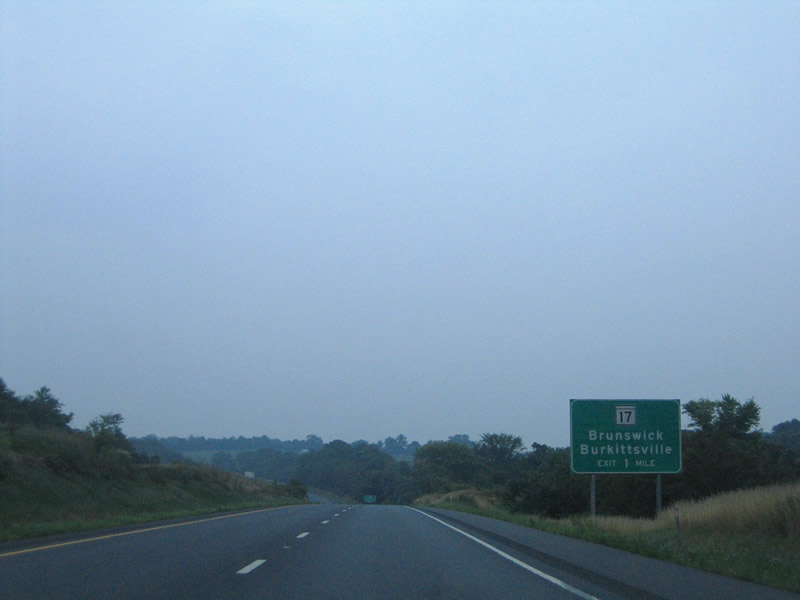
MD 17 (Burkittsville Road) crosses paths with U.S. 340 at a diamond interchange near Rosemont.
07/16/05
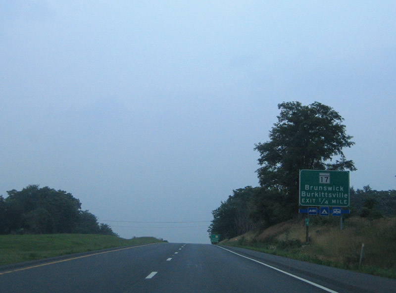
MD 17 (Burkittsville Road) travels south to Brunswick and into Virginia as State Route 287. Northward MD 17 continues four miles to Burkittsville and Gathland State Park. Burkittsville gained national attention with the 1999 movie Blair Witch Project.
07/16/05
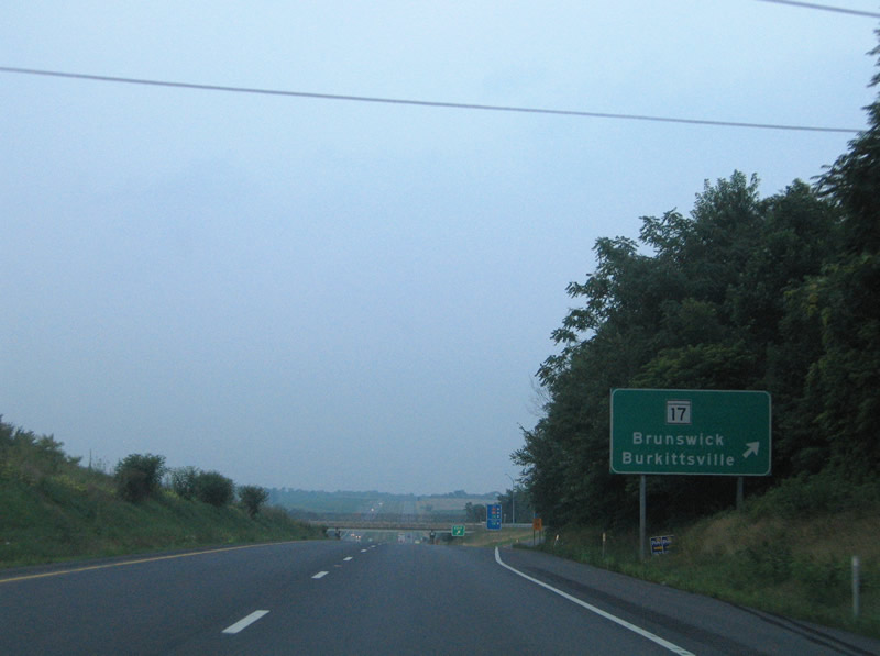
MD 17 heads 1.7 miles south to Brunswick and 4.2 miles north to Burkittsville. MD 17 runs 29.49 miles overall between the state line and the Washington County line near Smithsburg.
07/16/05
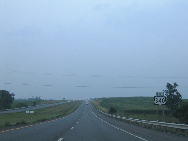
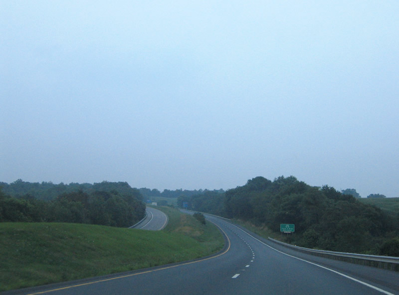
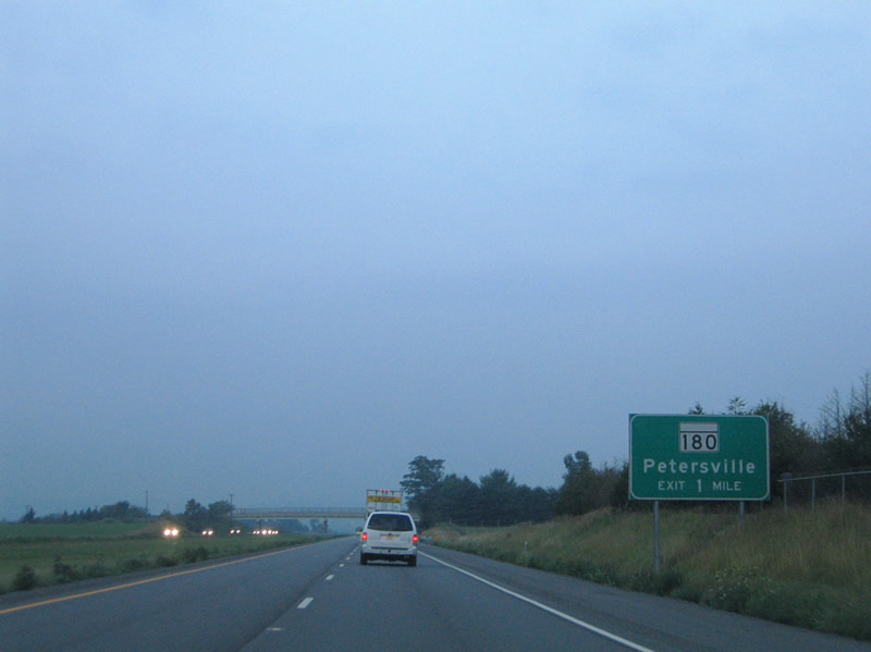
Continuing east, U.S. 340 bypasses Petersville to the north.
07/16/05
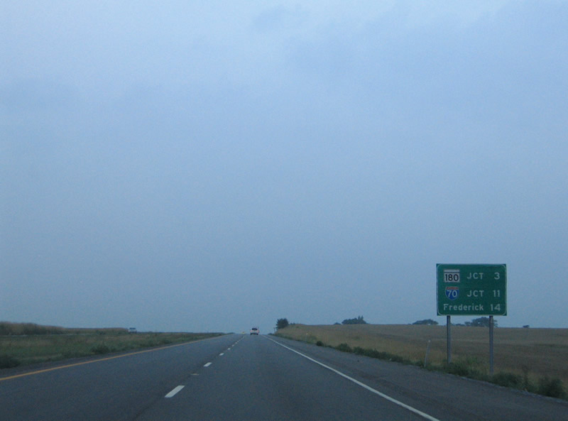
MD 180 crosses paths with U.S. 340 near Slabtown in three miles. Interstate 70 and the city of Frederick represent the end of the freeway.
07/16/05
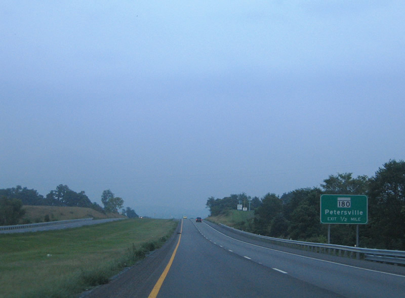
MD 180 (Jefferson Pike) meets U.S. 340 at a diamond interchange 1.6 miles east of Petersville.
07/16/05
One half mile west of MD 180 on U.S. 340 east. MD 180 continues along the north side of the freeway 2.3 miles to MD 383 (Broad Run Road).
07/16/05
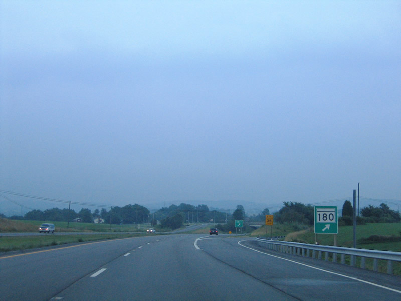
A nondescript sign posted at MD 180's off-ramp from U.S. 340 east.
07/16/05
U.S. 340 reassurance shield posted after MD 180 near the Catoctin Creek crossing.
07/16/05

Entering the final eight miles of U.S. 340, two miles out from Jefferson.
07/16/05
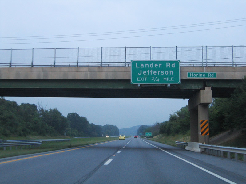
Horine Road spans U.S. 340, 0.75 miles from Lander Road. Lander Road links U.S. 340 with adjacent MD 180 at Jefferson and a handful of subdivisions to the north via Holter Road.
07/16/05

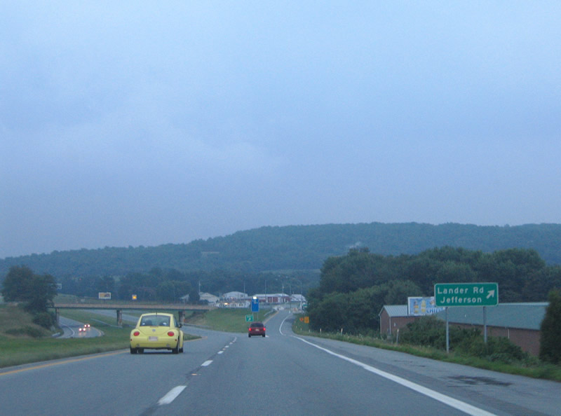
U.S. 340 enters a diamond interchange with Lander Road at Jefferson in a half mile.
07/16/05
Lander Road continues south from U.S. 340 to MD 464 (Point of Rocks Road); Mountville Road branches southeast nearby to U.S. 15 and Adamstown.
07/16/05
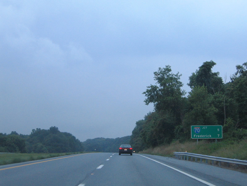
Five miles west of Interstate 70 along U.S. 340 east. U.S. 15 north merges via wye interchange ahead.
07/16/05
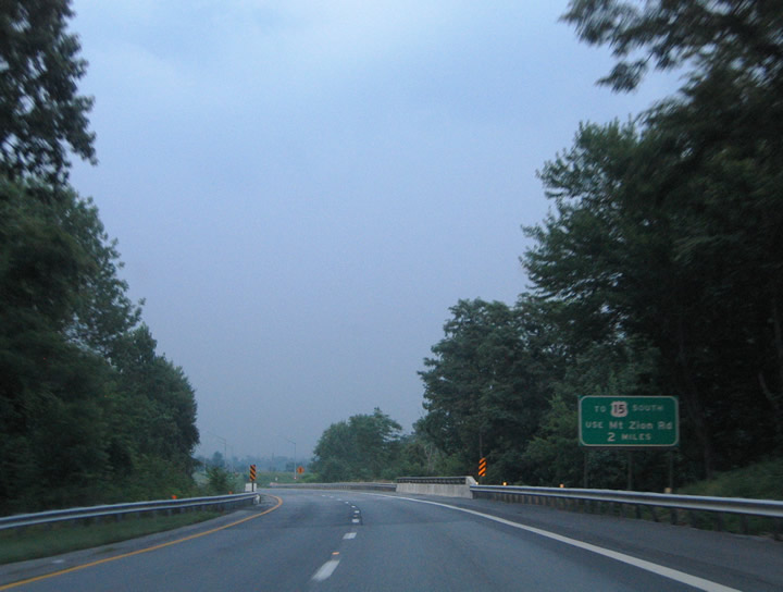
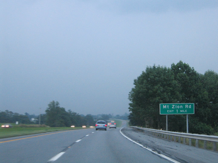
Access to U.S. 15 south is not available from U.S. 340 east. This sign, posted at the U.S. 15 southbound off-ramp from U.S. 340 west, advises motorists to u-turn at the Mt. Zion Road diamond interchange in two miles.
07/16/05
 North East
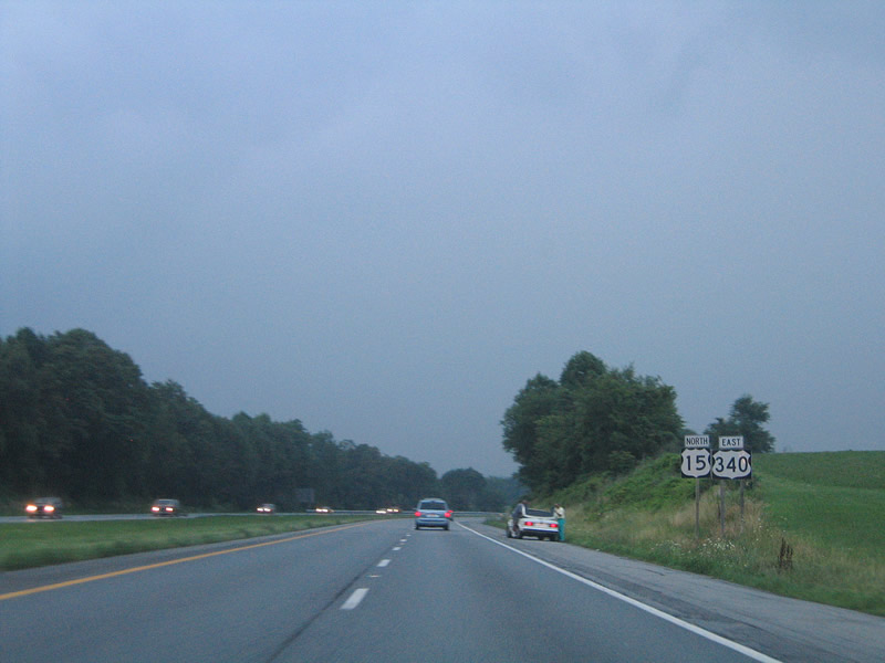
U.S. 15 north joins U.S. 340 east from Point of Rocks and Leesburg, Virginia.
07/16/05
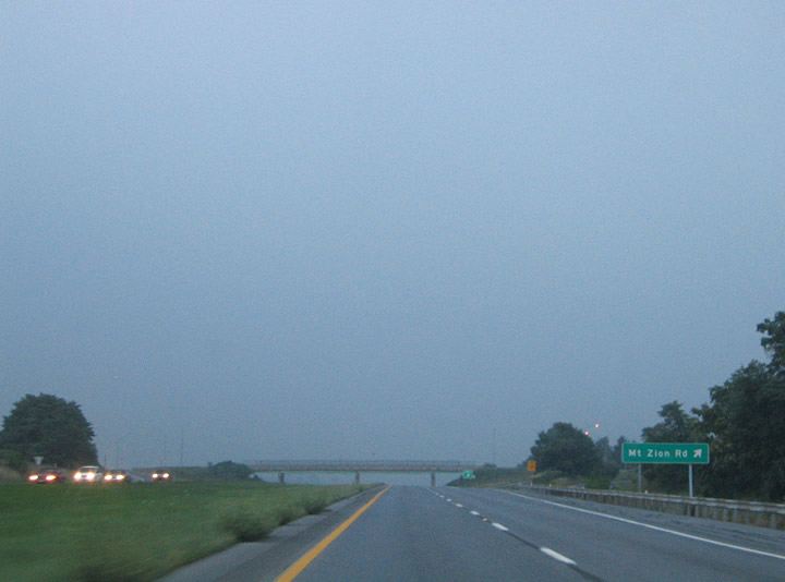
Mt. Zion Road travels south from MD 180 (Jefferson Pike) to U.S. 15/340 at Cap Stine Road.
07/16/05
Cap Stine Road continues Mt. Zion Road south 1.5 miles to MD 351 via Renn Road. Mt. Zion Road north meanders to Jefferson Boulevard, serving a handful of rural subdivisions.
07/16/05
Photo Credits:
- Alex Nitzman: 07/16/05
Connect with:
Page Updated Friday December 05, 2008.