
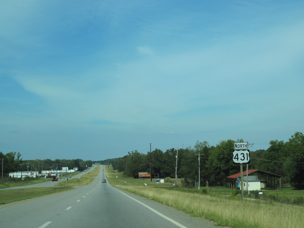
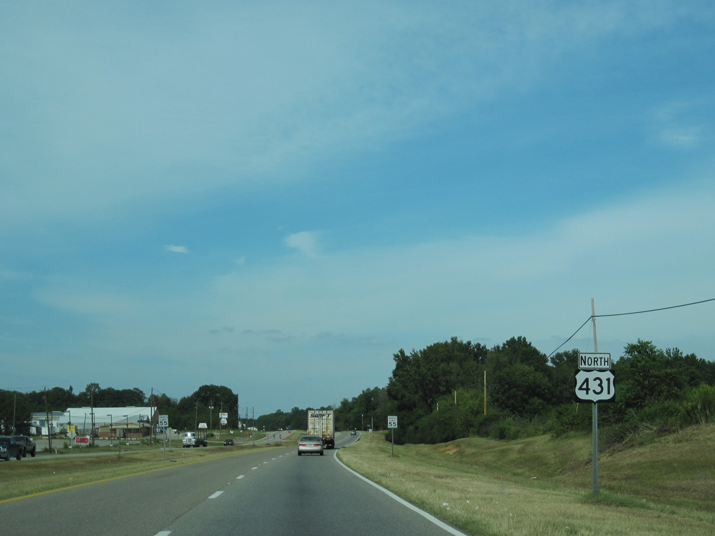
U.S. 431 North - Eufaula

 North
North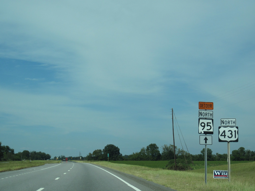
09/28/10
09/28/10
09/28/10
09/28/10
09/28/10
09/28/10
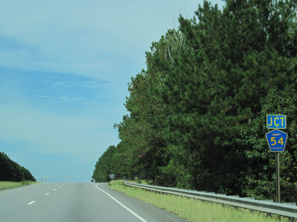
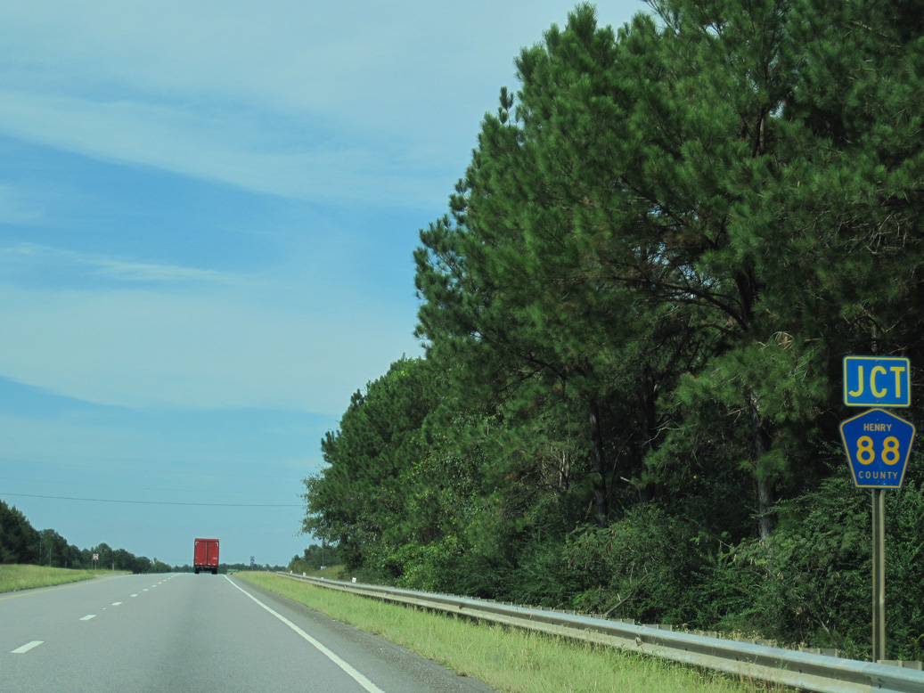
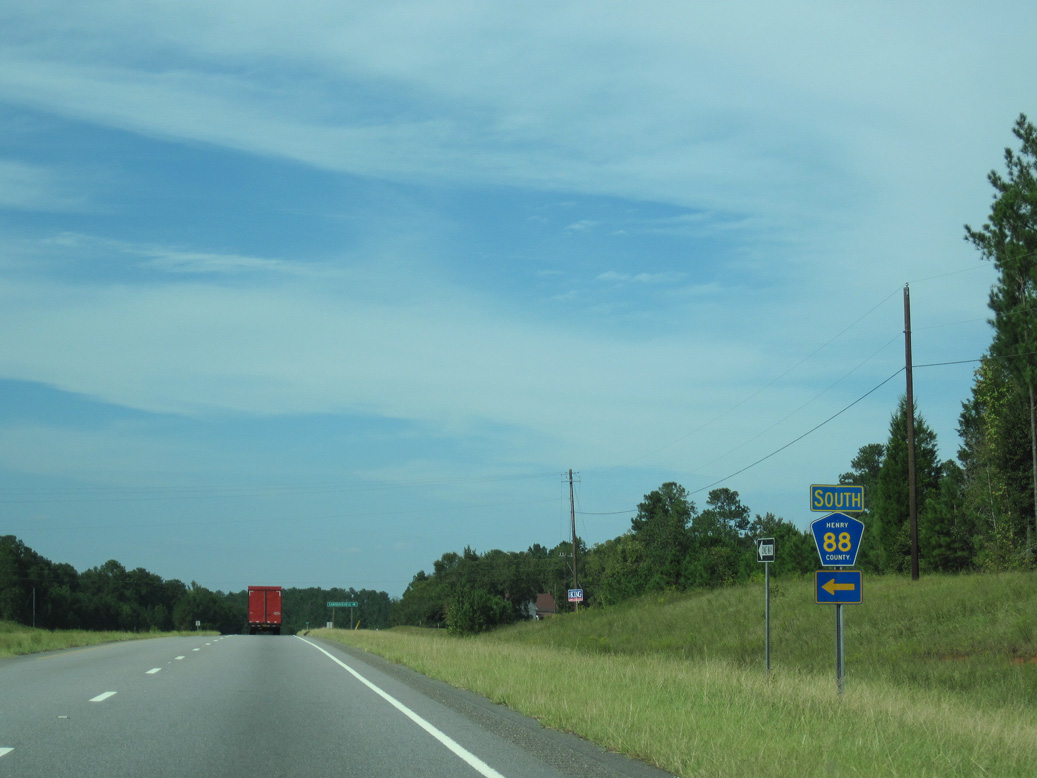
CR 54 meets U.S. 431 west from Lawrenceville.
09/28/10
09/28/10
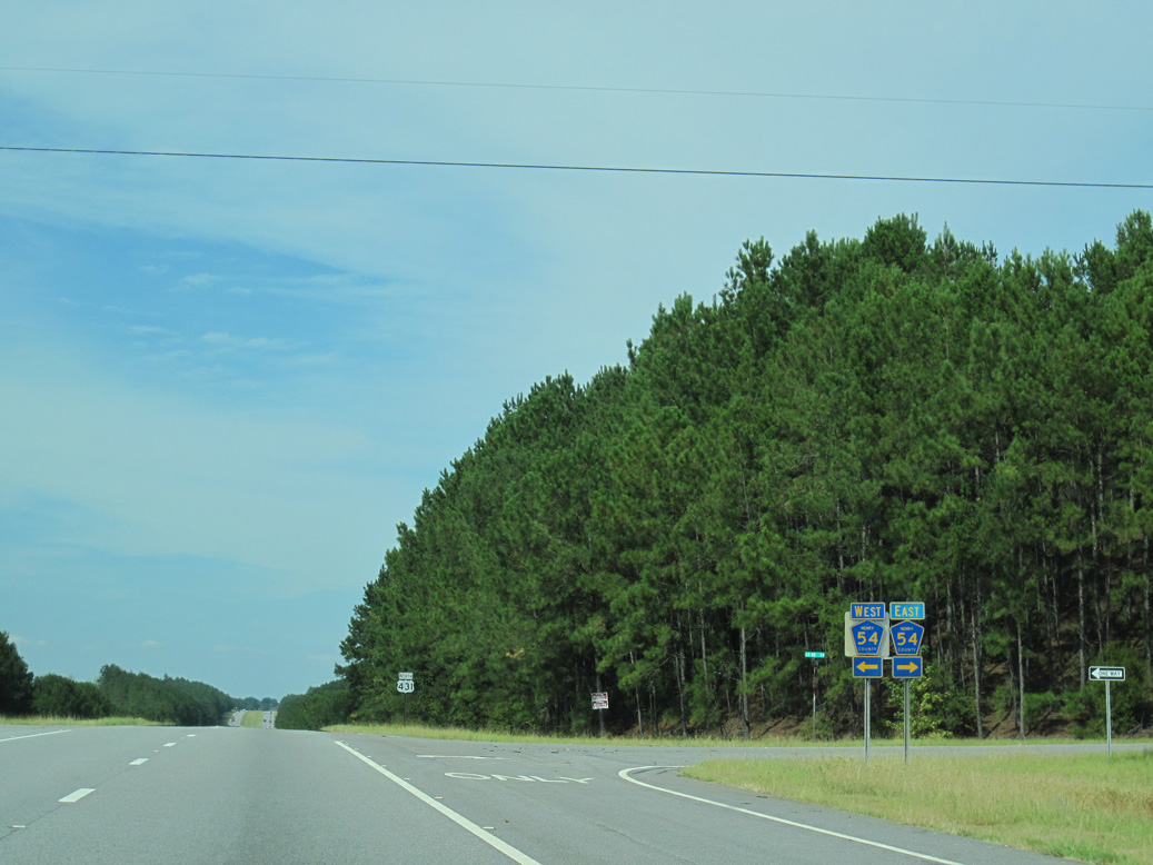
West from U.S. 431, CR 54 continues 6.2 miles to Edwin.
09/28/10
09/28/10
05/27/10
05/27/10
09/28/10
09/28/10
05/27/10
09/28/10
09/28/10
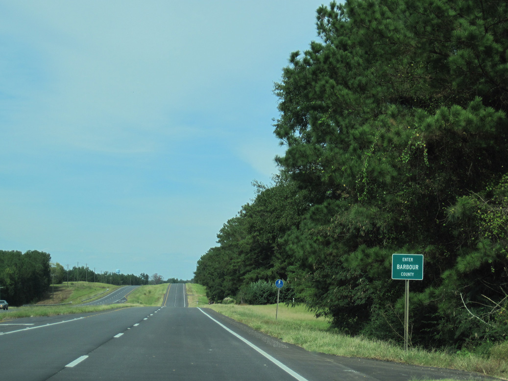
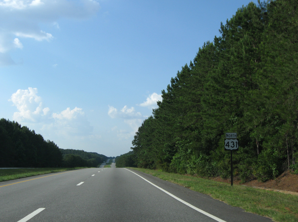
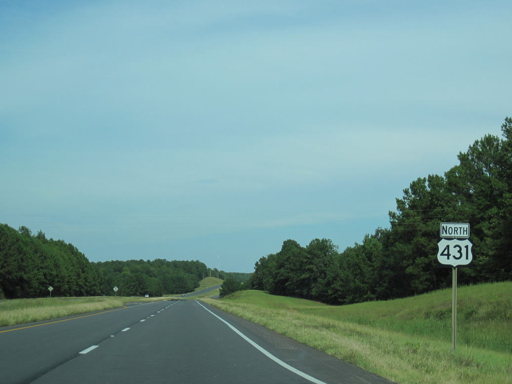
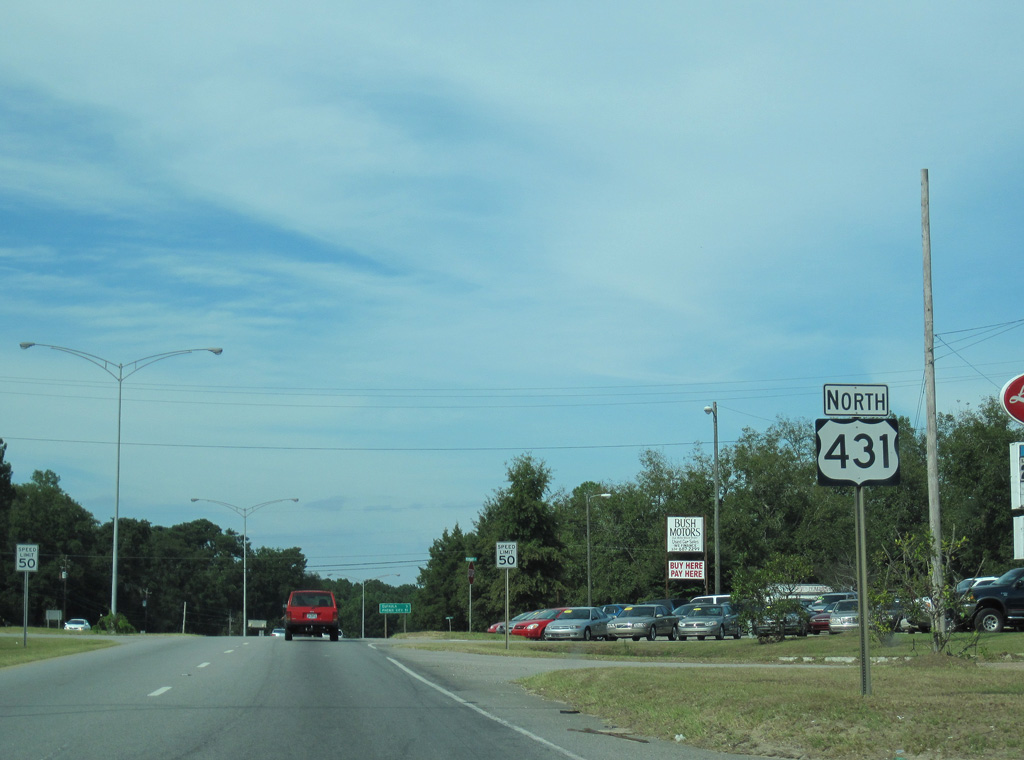
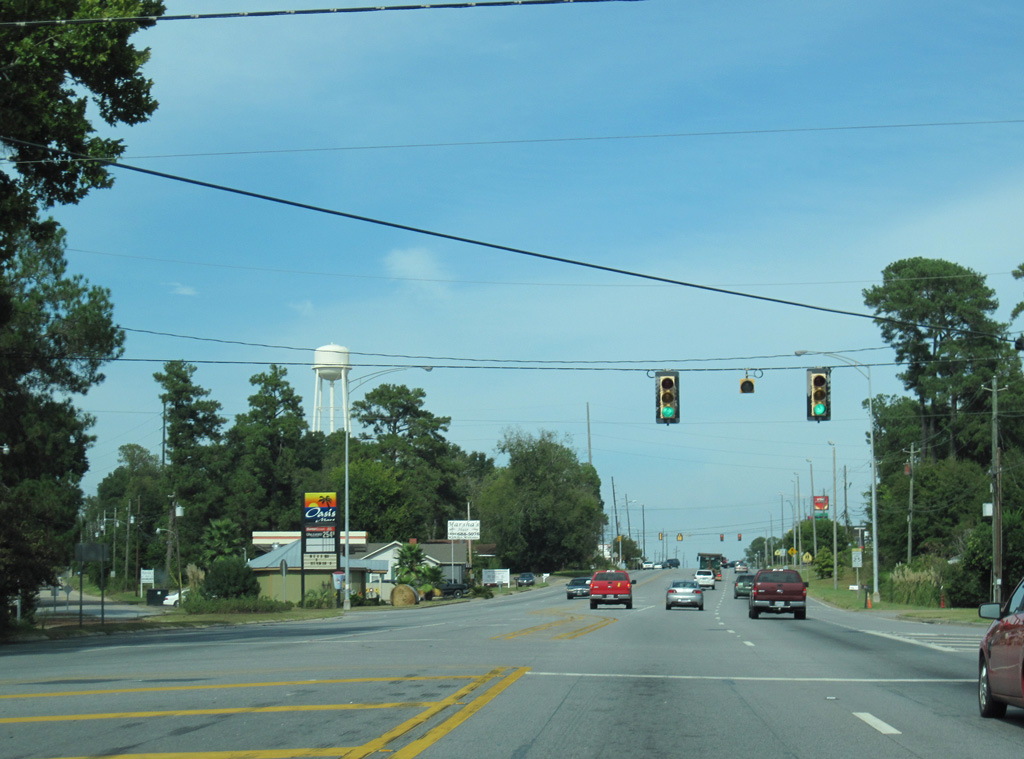
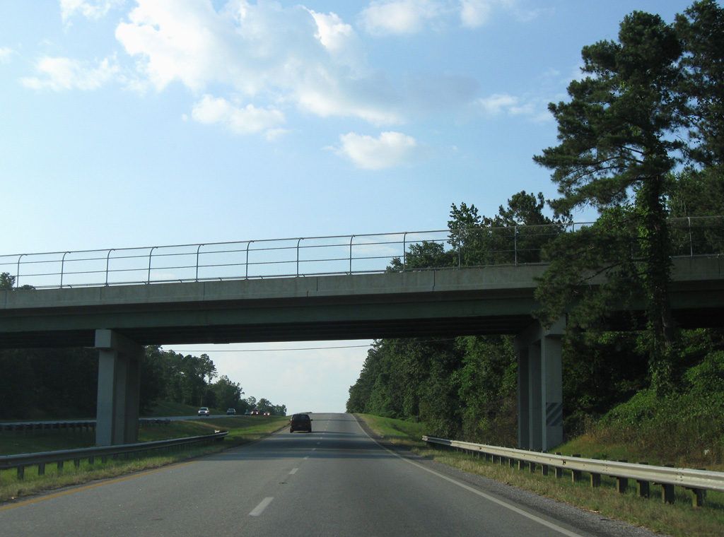
U.S. 431 travels 27.85 miles north through Henry County to Barbour County.
09/28/10
09/28/10
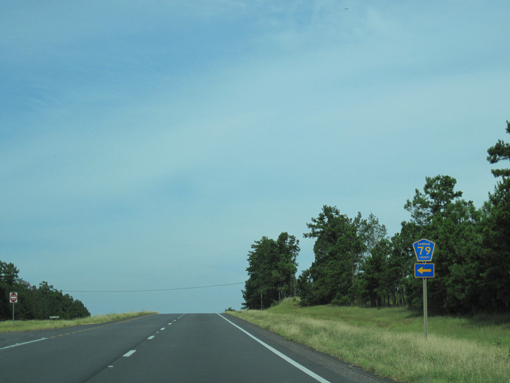
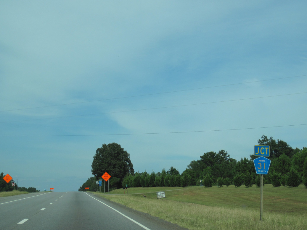
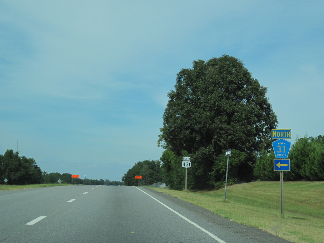
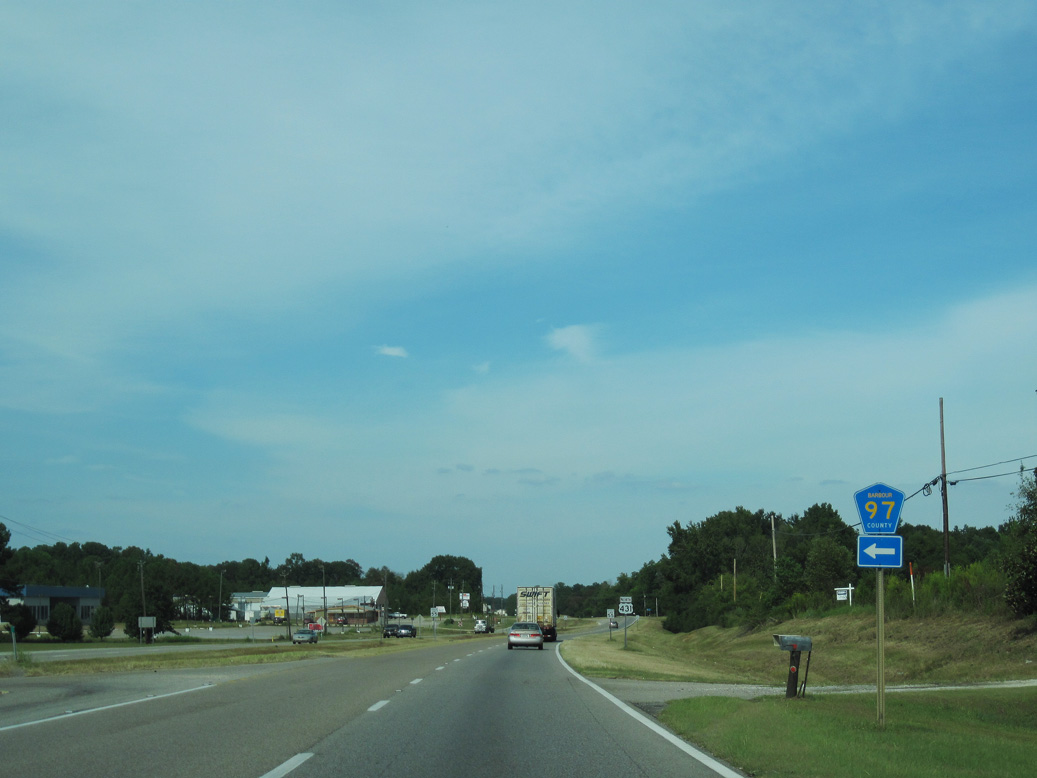
Barbour County Route 79 meanders 5.4 miles northward from U.S. 431 to SR 131 in the town of Baker Hill.
09/28/10
09/28/10
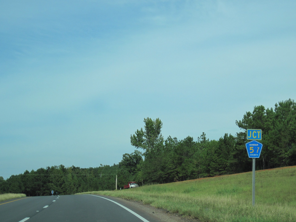
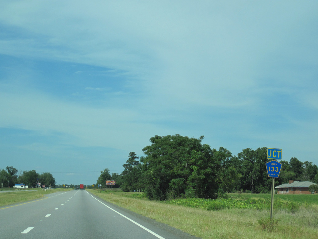
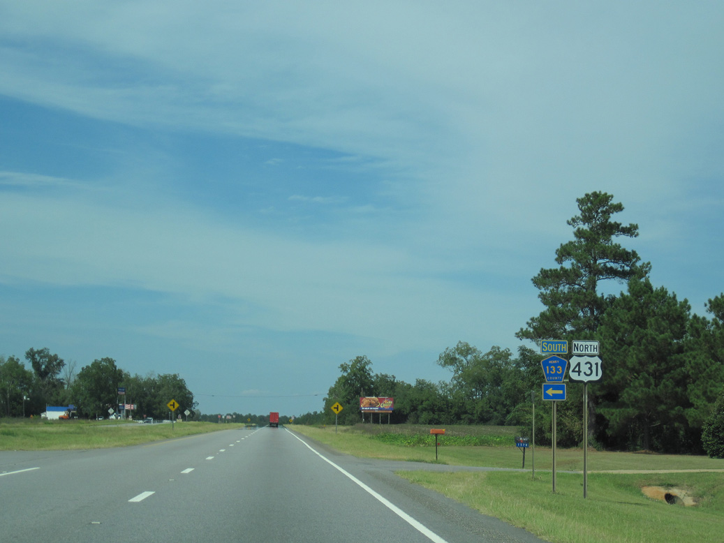
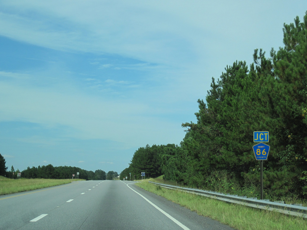
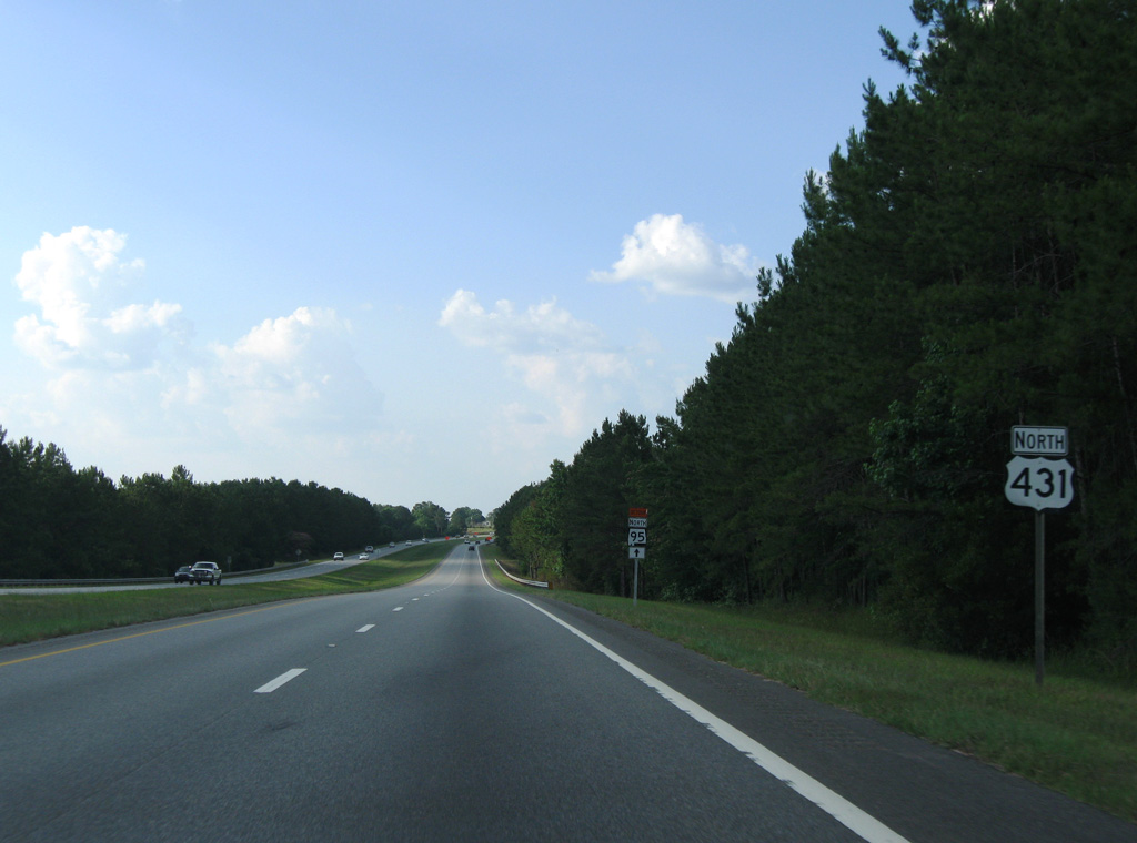
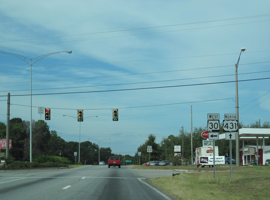
CR 57 angles southeast from U.S. 431 to become Henry County Route 92 ahead of Scottsboro Crossroads and SR 95.
09/28/10
09/28/10
09/28/10
09/28/10
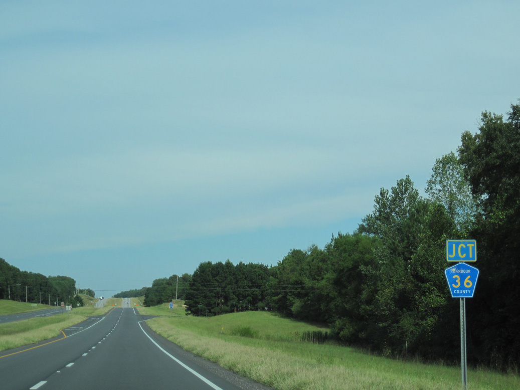
Pleasant Hill Road (old U.S. 431) loops east from U.S. 431 ahead of CR 36.
09/28/10
09/28/10
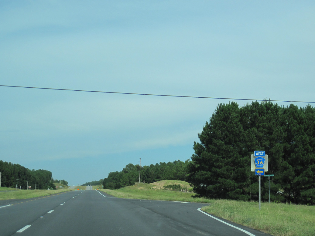
County Route 36 runs 9.4 miles north to SR 30 in the city of Eufaula.
09/28/10
09/28/10
09/28/10
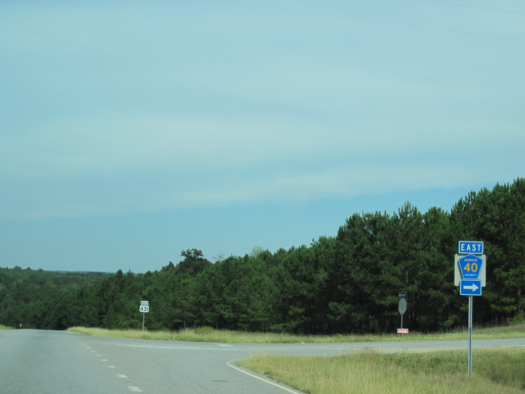
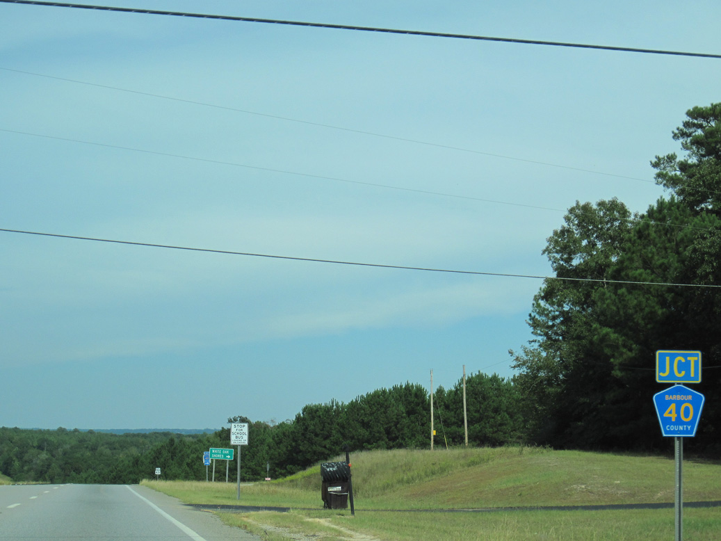
County Route 40 spurs east to the White Oak Shores community along White Oak Creek and Sandy Creek.
09/28/10
09/28/10
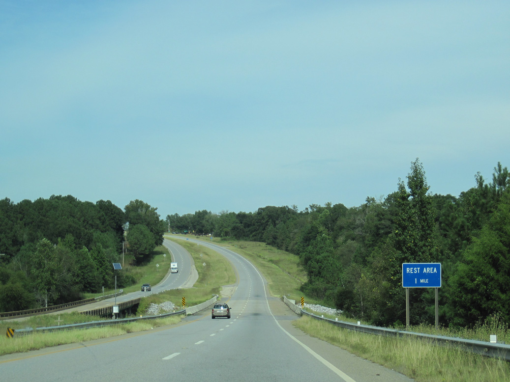
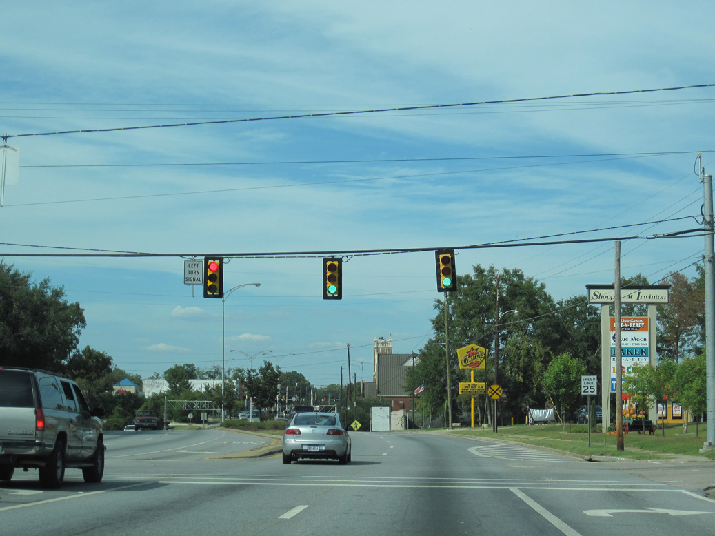
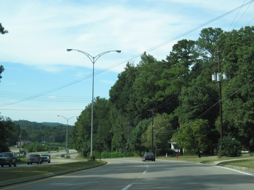
U.S. 431 spans White Oak Creek one mile south of a rest area.
09/28/10
09/28/10
05/27/10
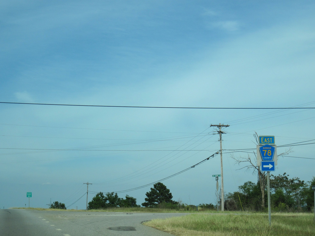
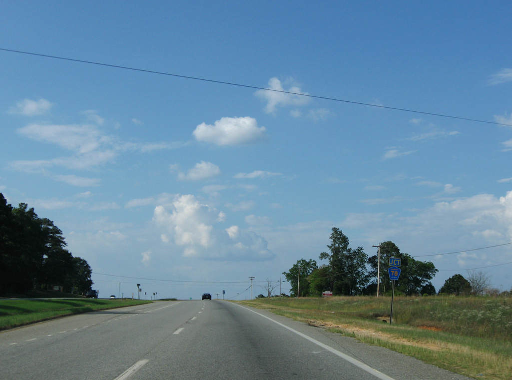
CR 78 stems east from U.S. 431 along Coy Perdue Road toward SR 95.
09/28/10
09/28/10
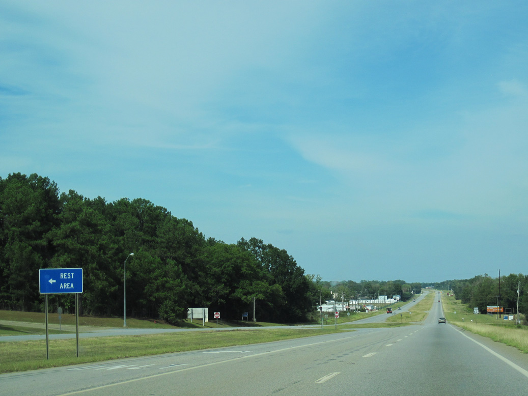
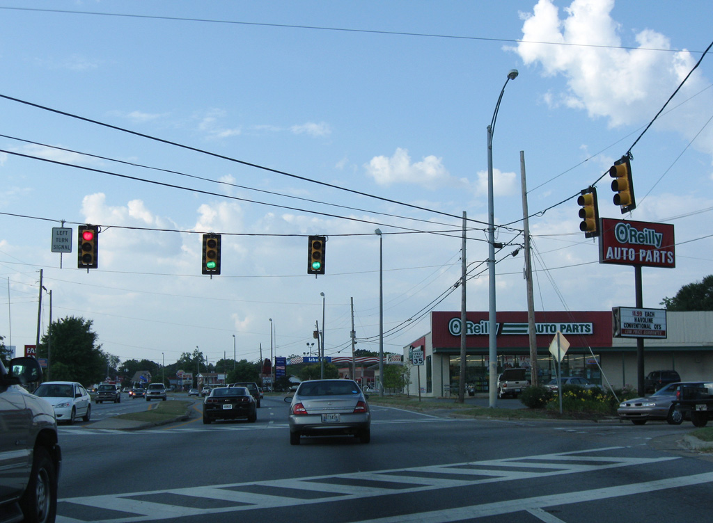
The Barbour County Rest Area lies along the west side of U.S. 431, north of CR 78.
09/28/10
09/28/10
09/28/10
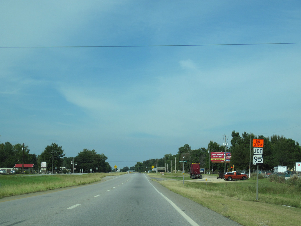
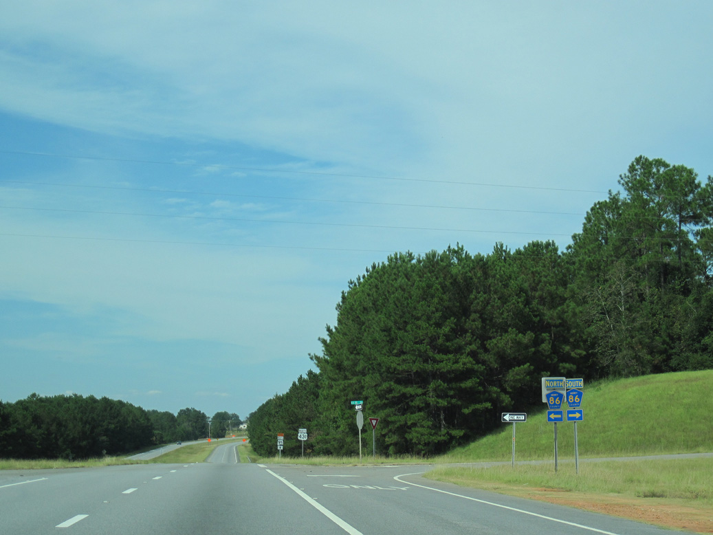
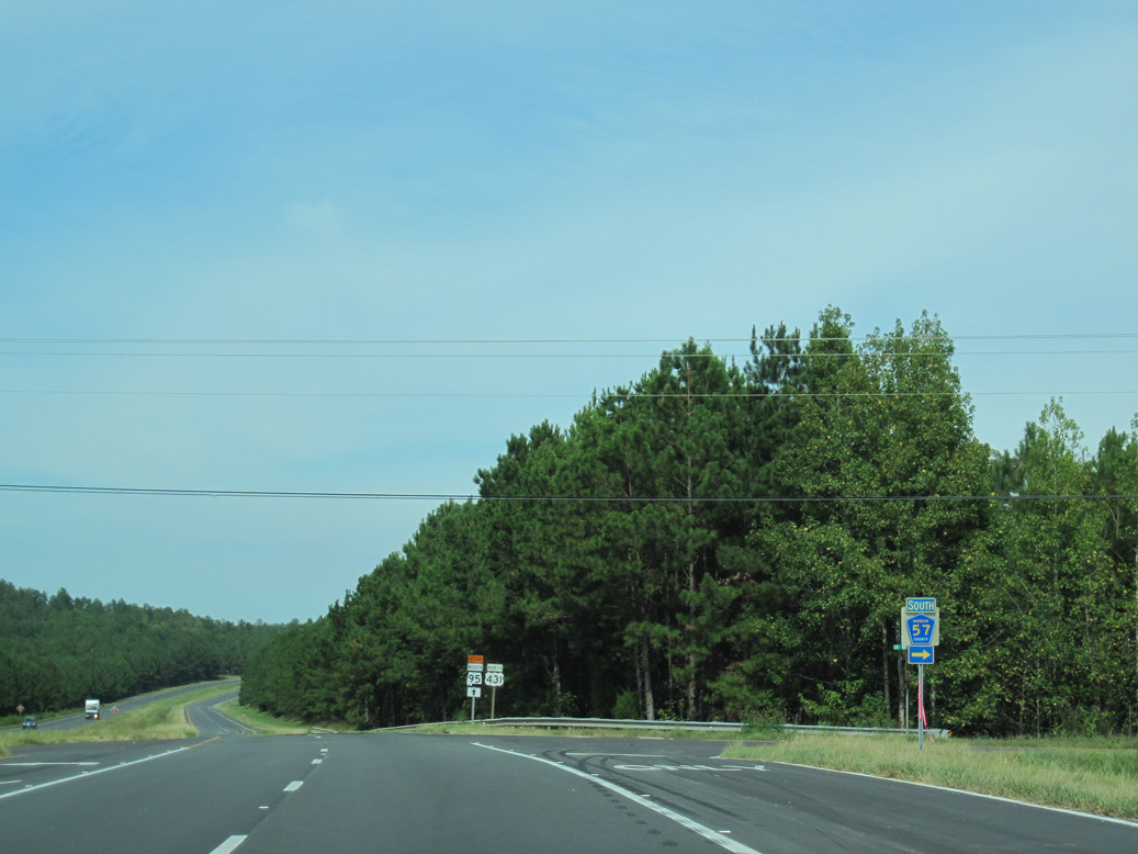
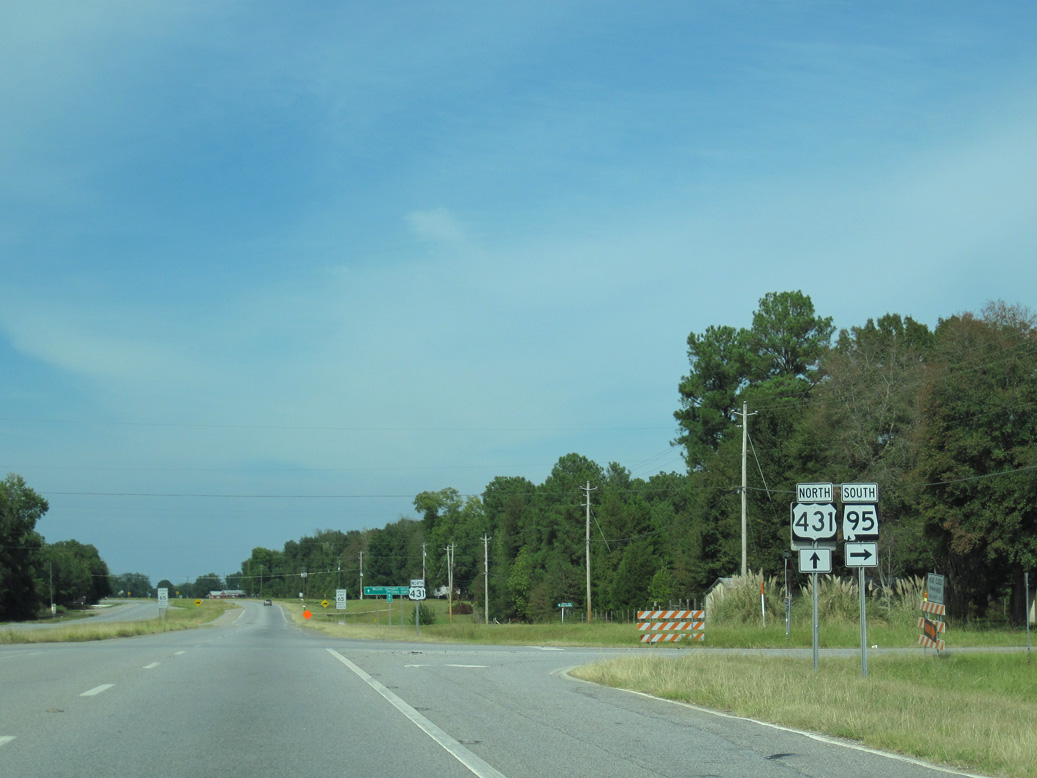
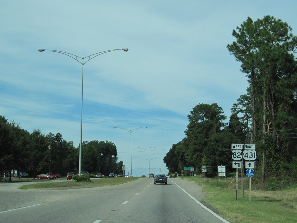
U.S. 431 converges with the north end of SR 95 just inside the Eufaula city limits.
09/28/10
09/28/10
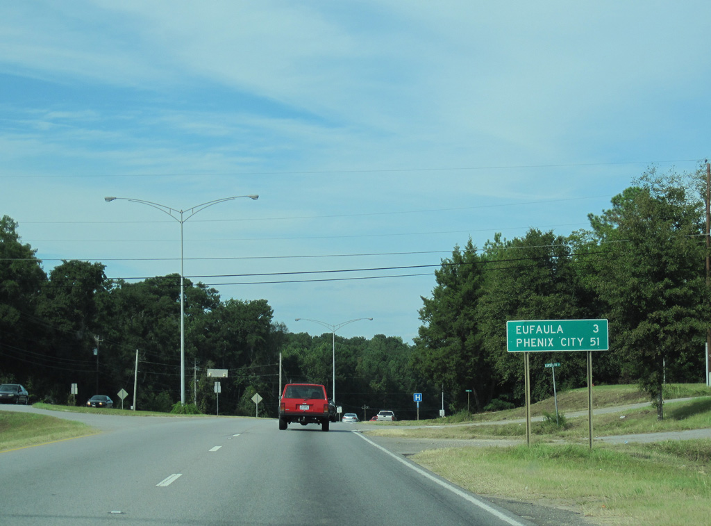
Measuring 63.61 miles in length, SR 95 travels south into Henry County at White Oak en route to Abbeville, Haleburg and SR 52 in the Houston County town of Columbia.
09/28/10
09/28/10
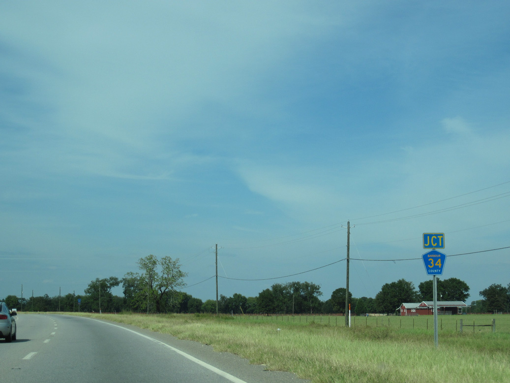
U.S. 431 meets CR 34 (Leroy Road) west beyond the community of Terese.
09/28/10
09/28/10
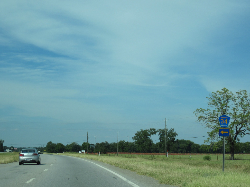
CR 34 (Leroy Road0 arcs 1.7 miles northwest to SR 131.
09/28/10
09/28/10
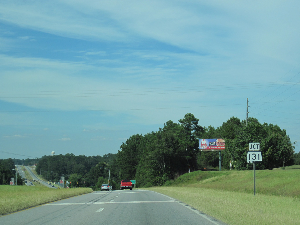
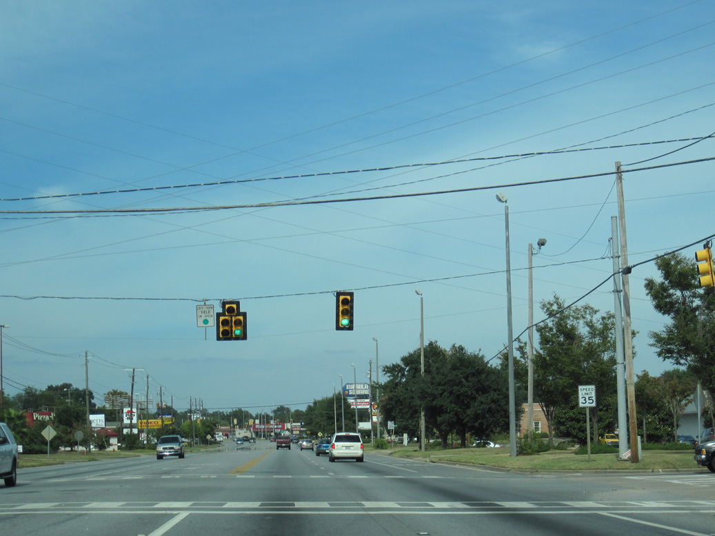
SR 131 travels 27.12 miles west from U.S. 431 in Eufaula to SR 10 east of Clio.
09/28/10
09/28/10
SR 131 connects Eufaula with Baker Hill and Texasville to the southwest.
09/28/10
09/28/10

4.7 miles south of Downtown Eufaula, U.S. 431 spans Cheneyhatchee Creek beyond SR 131.
05/27/10
05/27/10
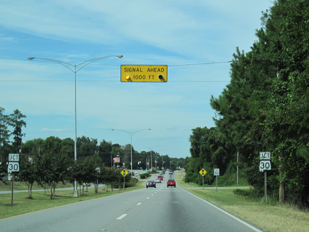
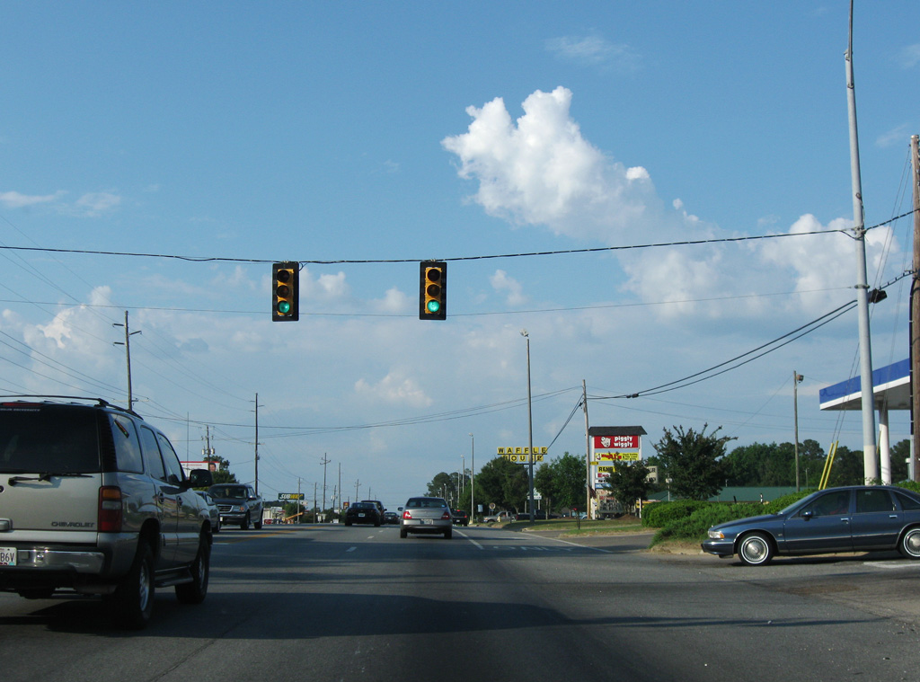
Joining Eufaula with the Barbour County seat of Clayton, SR 30 leads 19.01 miles west from U.S. 431 to SR 51.
09/28/10
09/28/10
Mack Street ties into the east end of SR 30 from Old Abbeville Road.
09/28/10
09/28/10
09/28/10
09/28/10
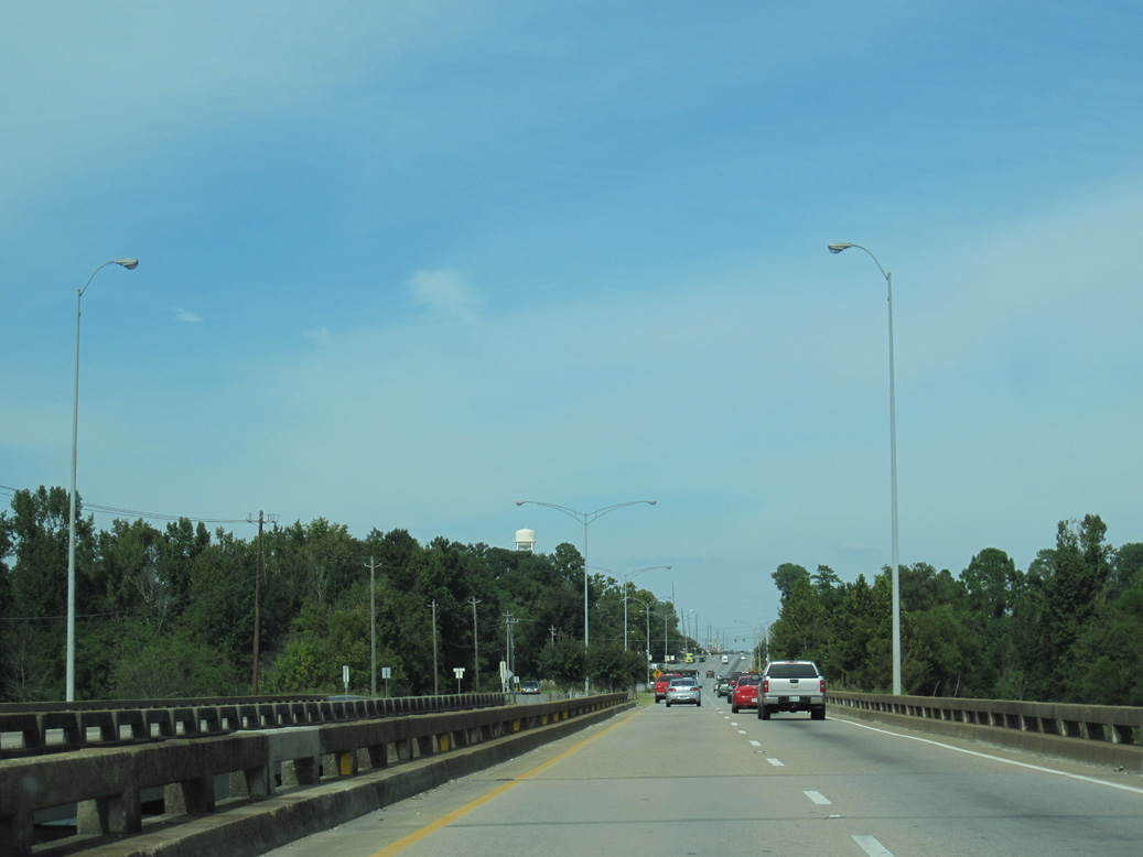
Turning northeast, U.S. 431 crosses the Barbour Creek arm of Lake Eufaula.
09/28/10
09/28/10
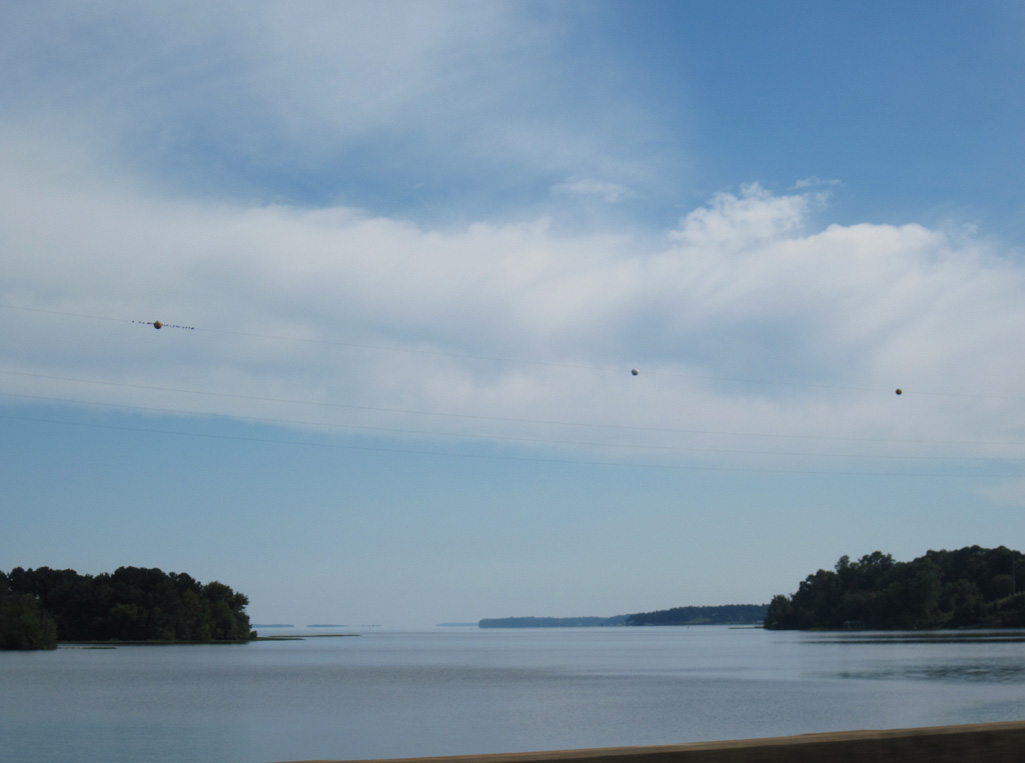
Looking southeast at Lake Eufaula / Walter F. George Reservoir, which is part of the Chattahoochee River.
09/28/10
09/28/10
Paul Lee Parkway intersects U.S. 431 north from an industrial park at mile marker 65 for SR 1.
09/28/10
09/28/10
U.S. 431 (Eufaula Avenue) north at State Docks Road south.
05/27/10
05/27/10
09/28/10
05/27/10
Eufaula Avenue north at Washington Street.
09/28/10
09/28/10
U.S. 82 crosses Lake Eufaula west from Georgetown, Georgia and lines Barbour Street 0.65 miles to U.S. 431 (Eufaula Avenue).
09/28/10
09/28/10
U.S. 82 travels east from Eufaula to Cuthbert, Dawson and Albany, Georgia.
09/28/10
09/28/10
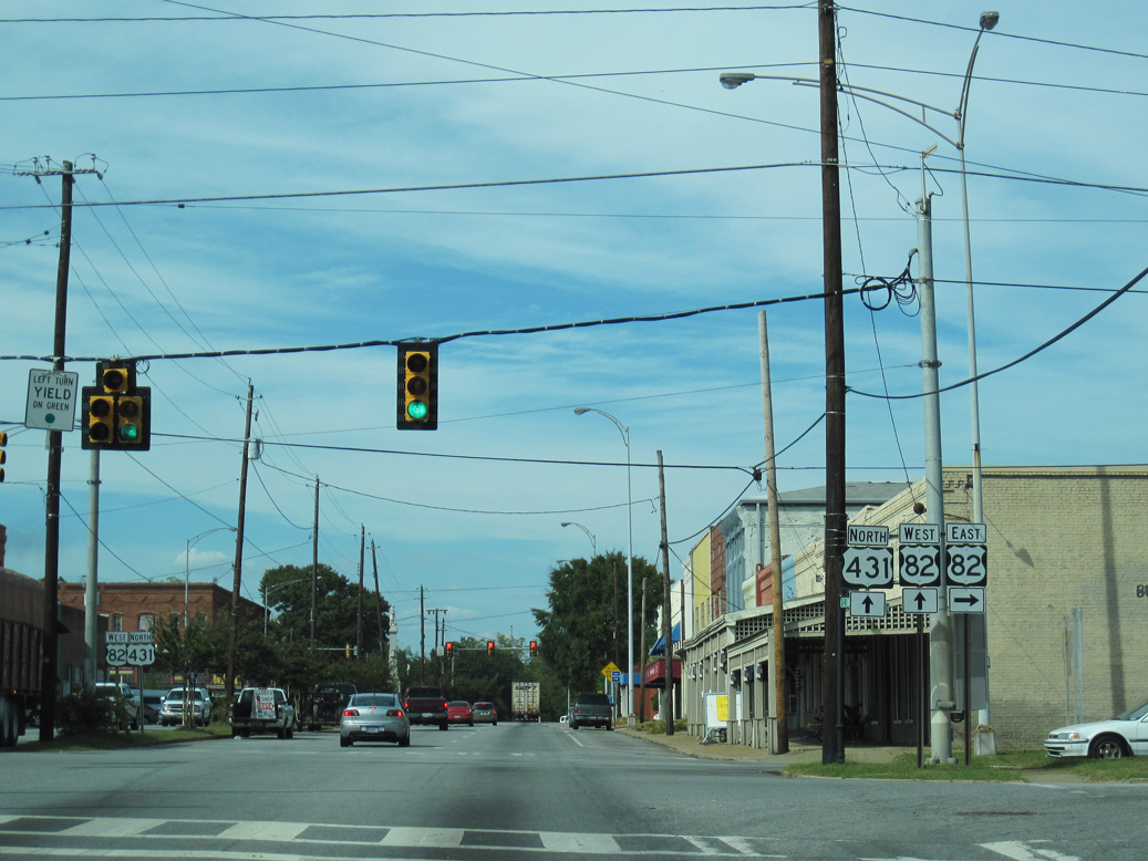
 West North
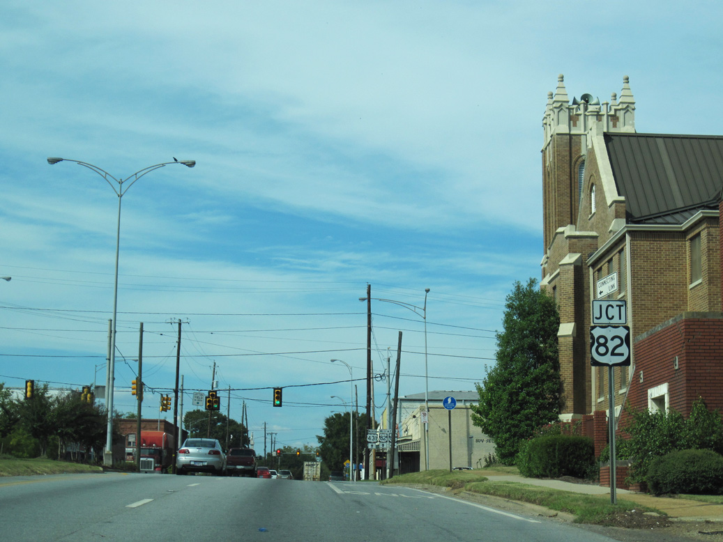
U.S. 82/431 (Eufaula Avenue) north next intersect Broad Street in Downtown Eufaula.
09/28/10
09/28/10
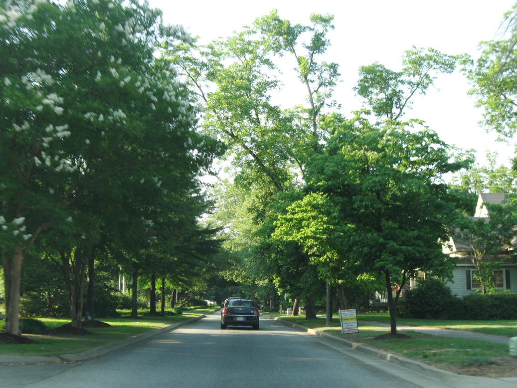
Eufaula Avenue expands into a tree lined boulevard north from Broad Street to Browder Street.
05/27/10
05/27/10
Shifting west through an S-curve, U.S. 82/431 (Eufaula Avenue) advance northward to cross Chewalla Creek.
09/28/10
09/28/10
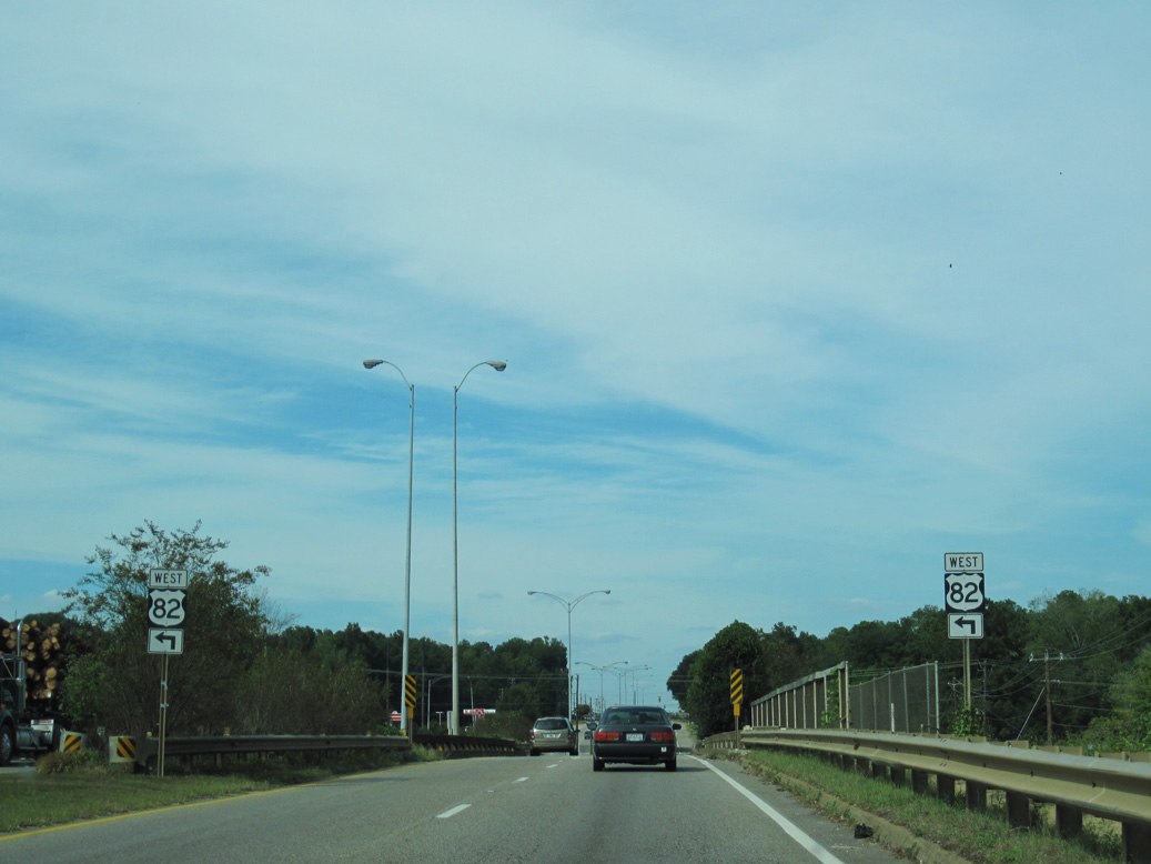
U.S. 82 branches northwest from U.S. 431 (Eufaula Avenue) beyond Chewalla Creek and a bridge spanning the former Central of Georgia.
09/28/10
09/28/10
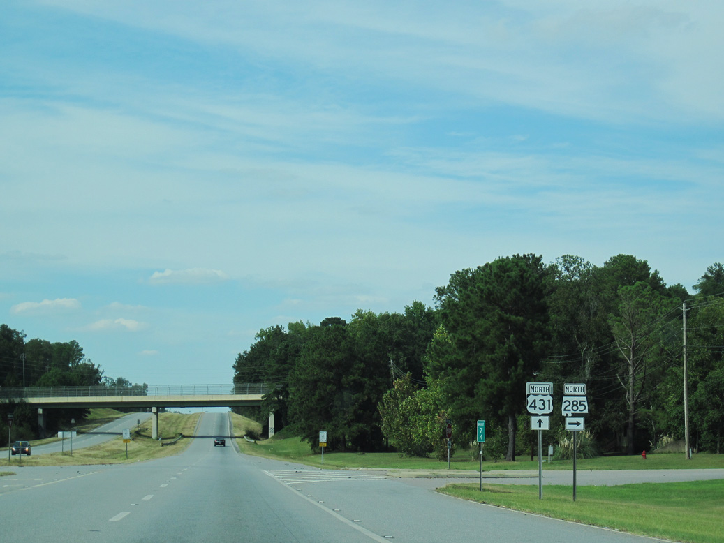
U.S. 82/431 overlap for 1.48 miles into north Eufaula. U.S. 82 turns northwest to Union Springs while U.S. 431 remains in the city another 6.64 miles to SR 165.
09/28/10
09/28/10
North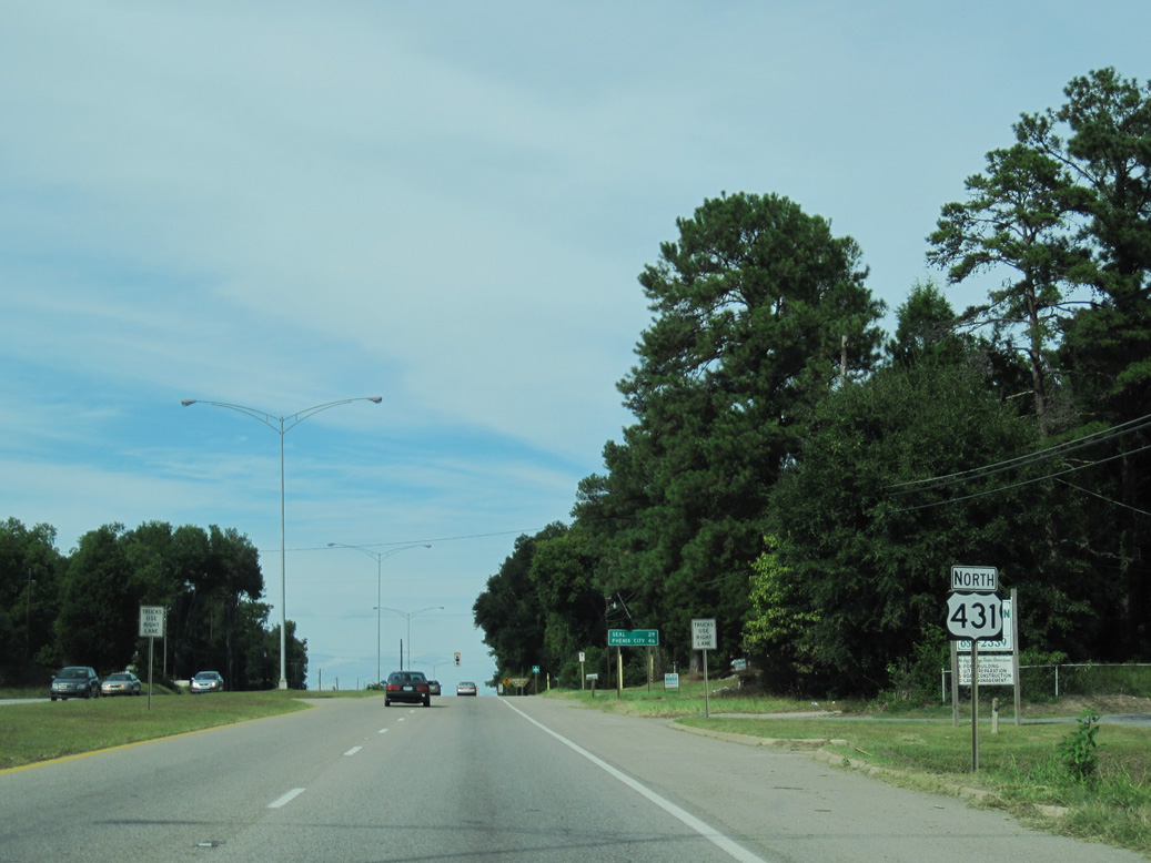
09/28/10

09/28/10
09/28/10
09/28/10
09/28/10
Crossing Walter F. George Reservoir at Cowikee Creek, U.S. 431 reaches Lakepoint Resort State Park. SR 285 (1st Avenue) constitutes the main access route into the park.
09/28/10
09/28/10
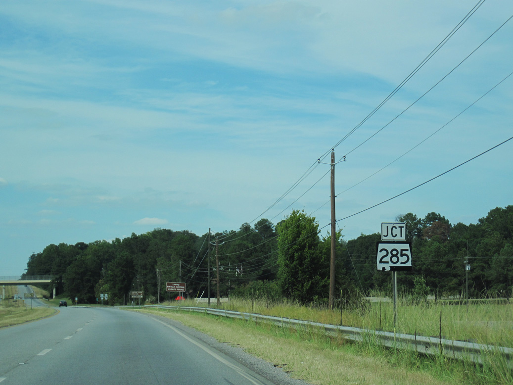
SR 285 follows Old Highway 165 northeast from U.S. 431 to SR 165 beyond Eufaula National Wildlife Refuge. Only the northern 1.29 miles of Old Highway 165 is inventoried by ALDOT as SR 285.
09/28/10
09/28/10
1st Street spans U.S. 431 north of SR 265 within Lakepoint Resort State Park.
05/27/10
05/27/10
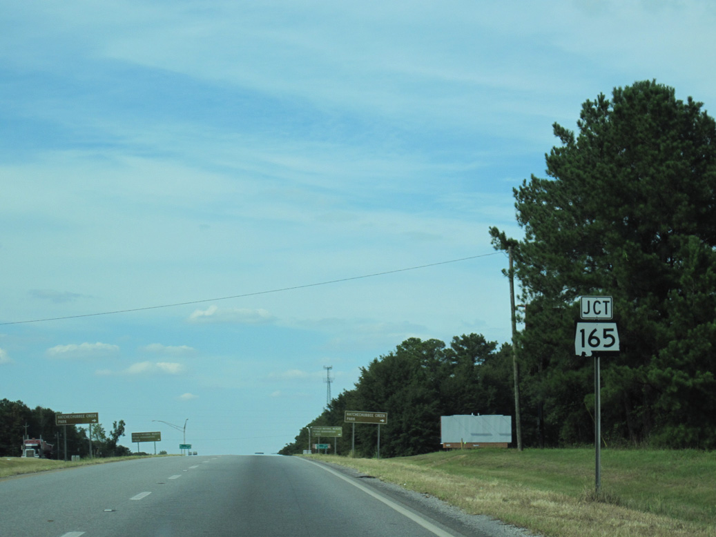
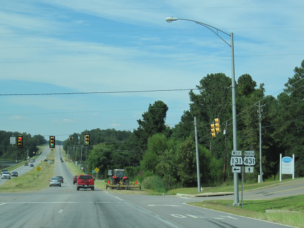
SR 165 loops east from U.S. 431 in north Eufaula to Twin Springs, Holy Trinity, Fort Benning Military Reservation, and Fort Mitchell.
09/28/10
09/28/10
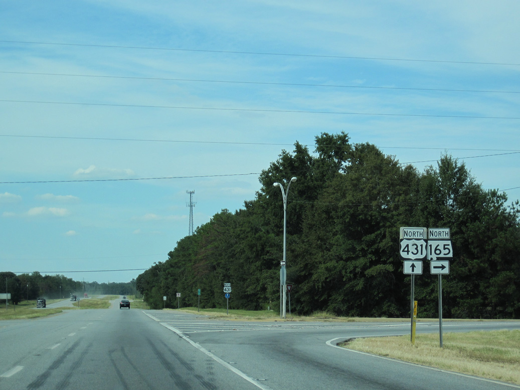
Measuring 32.38 miles in length, SR 165 returns to U.S. 431 at Phenix City.
09/28/10
09/28/10
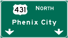

Photo Credits:
- ABRoads: 09/28/10
- Brent Ivy: 05/27/10
Connect with:
Page Updated Monday August 22, 2022.